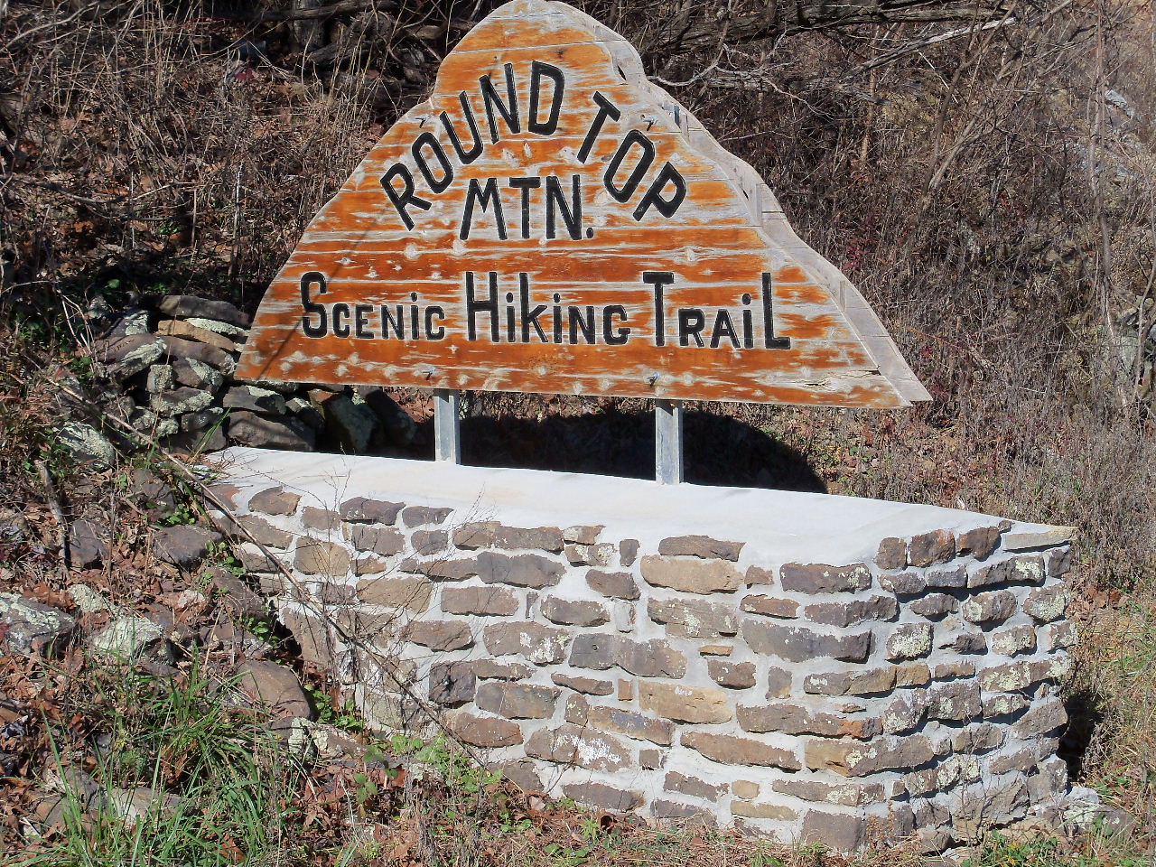
New sign on Hwy. 7
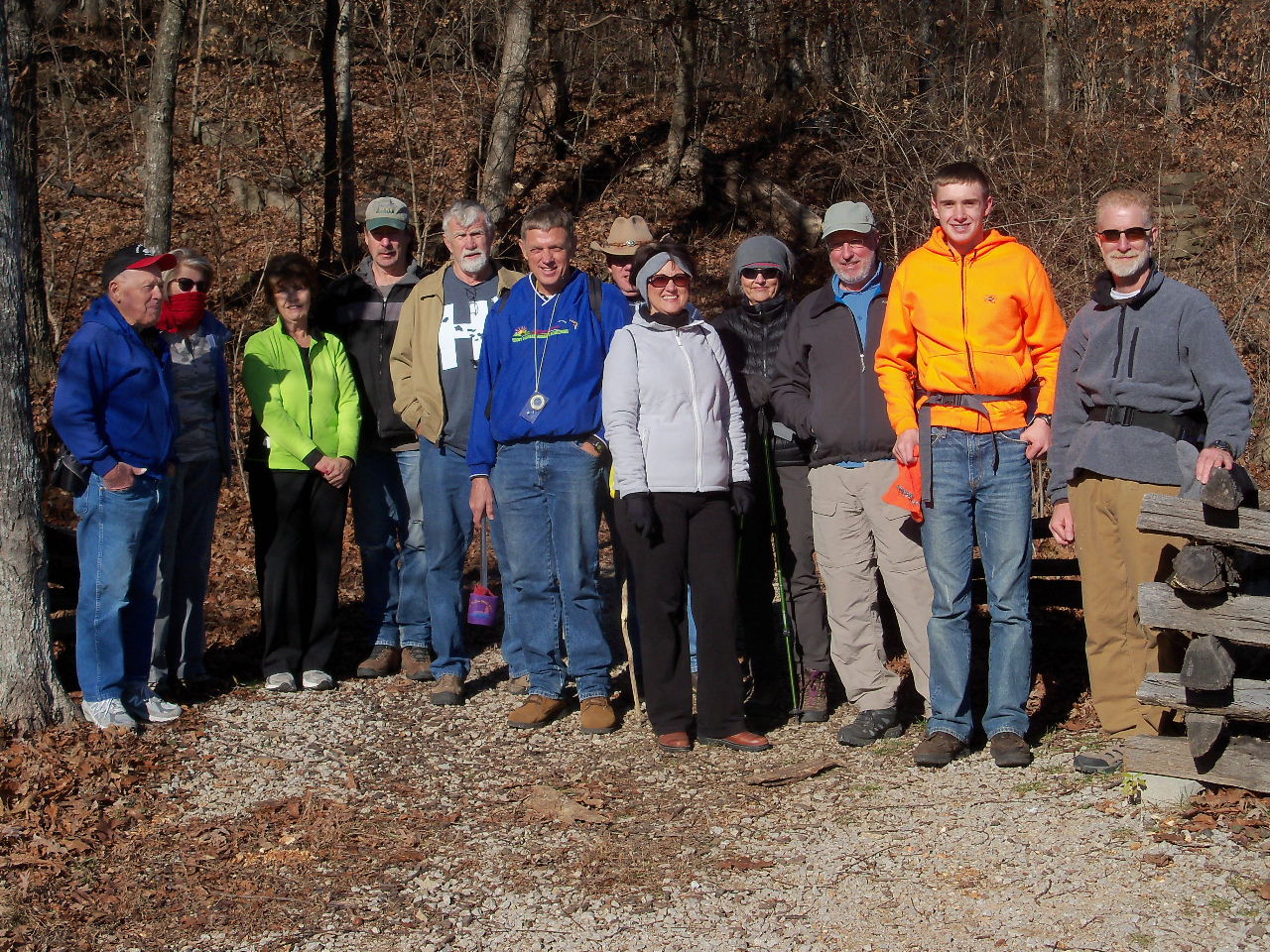
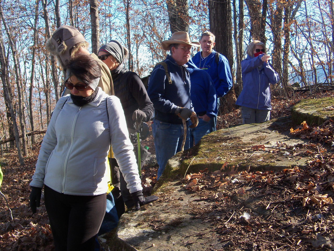
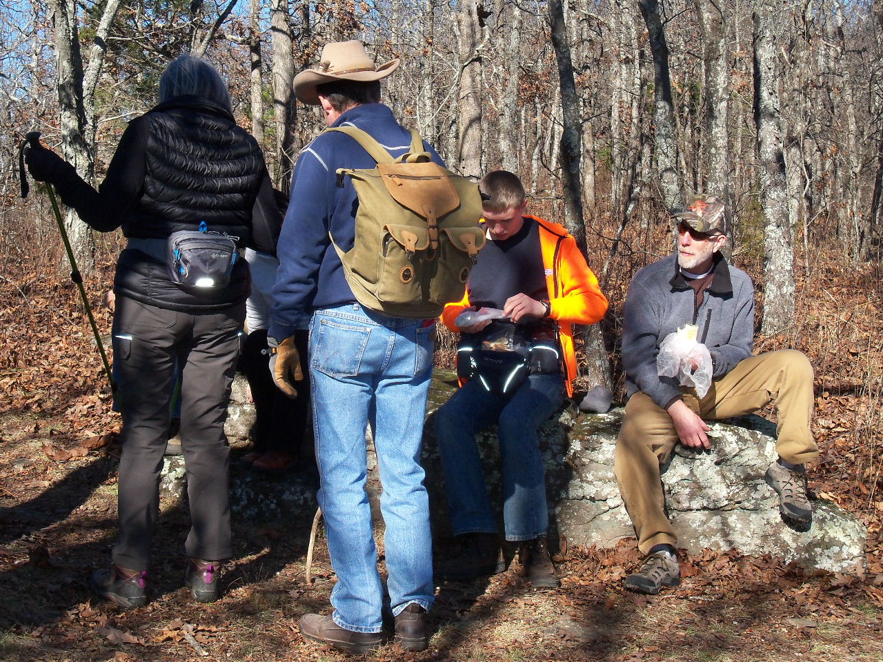
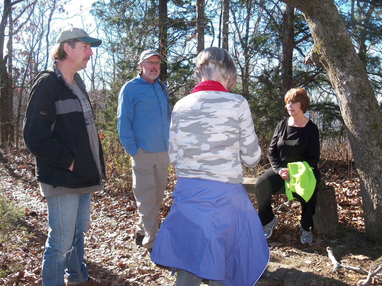
Our hilltoppers for the day....
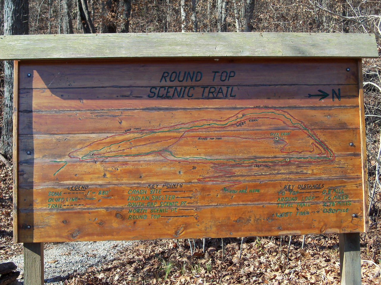
Trailhead sign
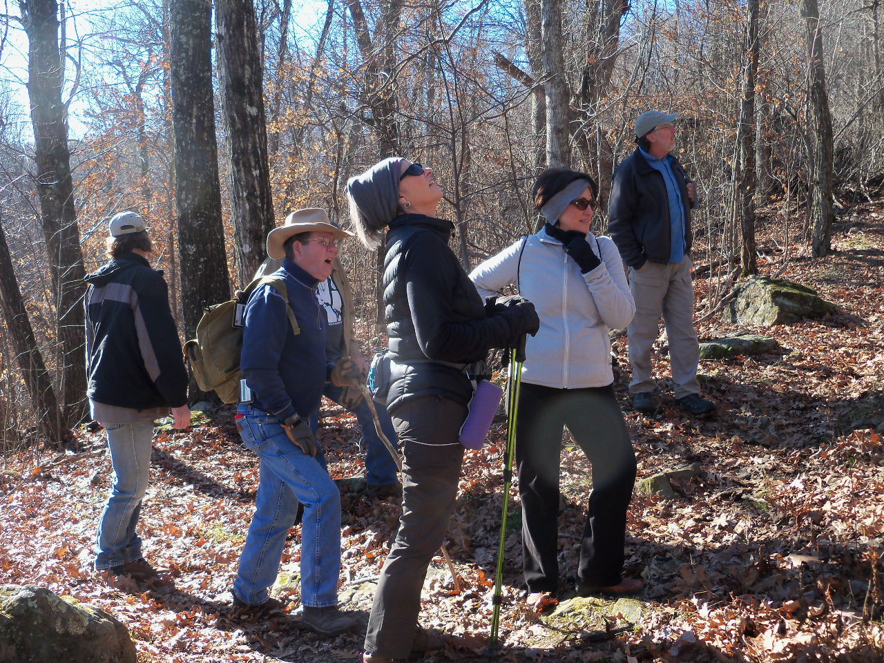
Yeah, we are going way UP there!
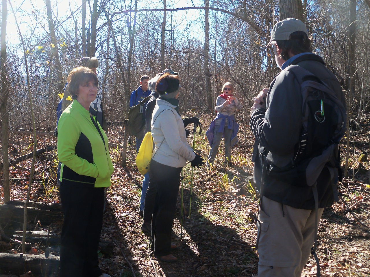
Gerry doing some "splaining"!
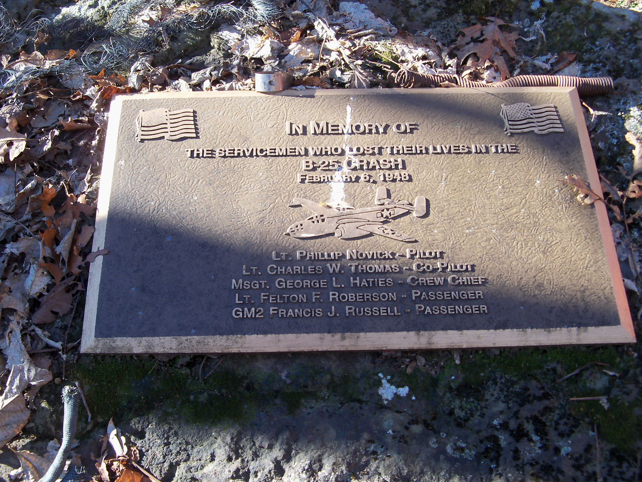
Site of B-25 crash in 1948
....still a few parts of the plane remaining.
(But someone stole the engine....!!! SO SAD!)
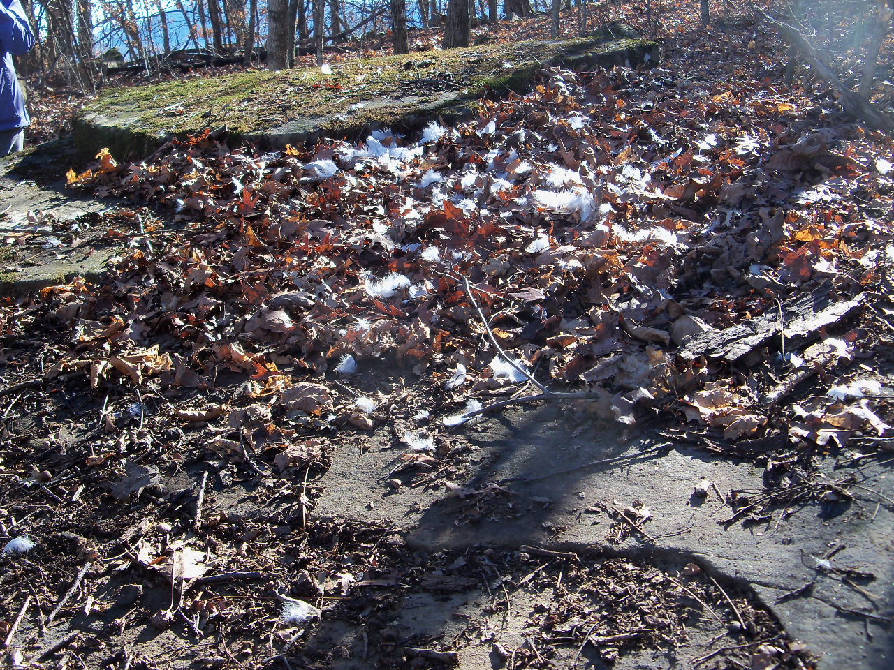
This is where a bird crashed!
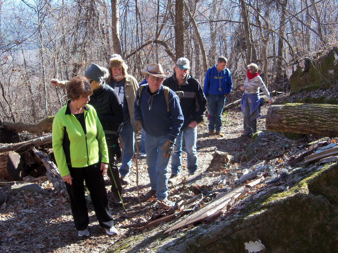
Gerry pointing at something? Probably Bill?
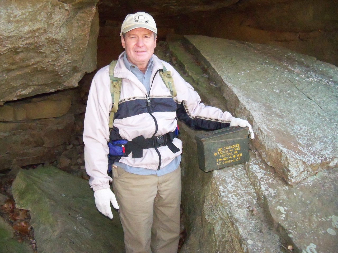
Bill found the geocache.......
(or part of the plane cargo?)
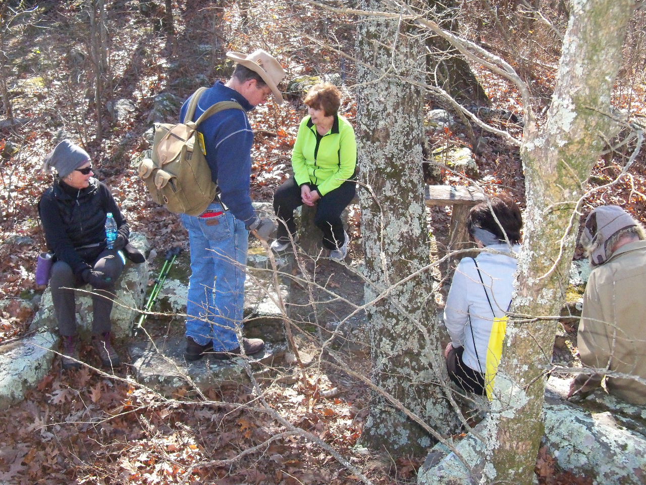
There were a few benches scattered around...
in case you wanted to rest!
Hope someone told Max, that is a Dead End!
Rock Bench, in case you wanted to rest!
The sun felt good today.....
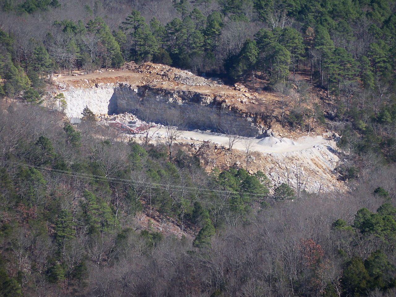
Want to know where they got all the rock for the
landslide on Hwy. 7? Right there!
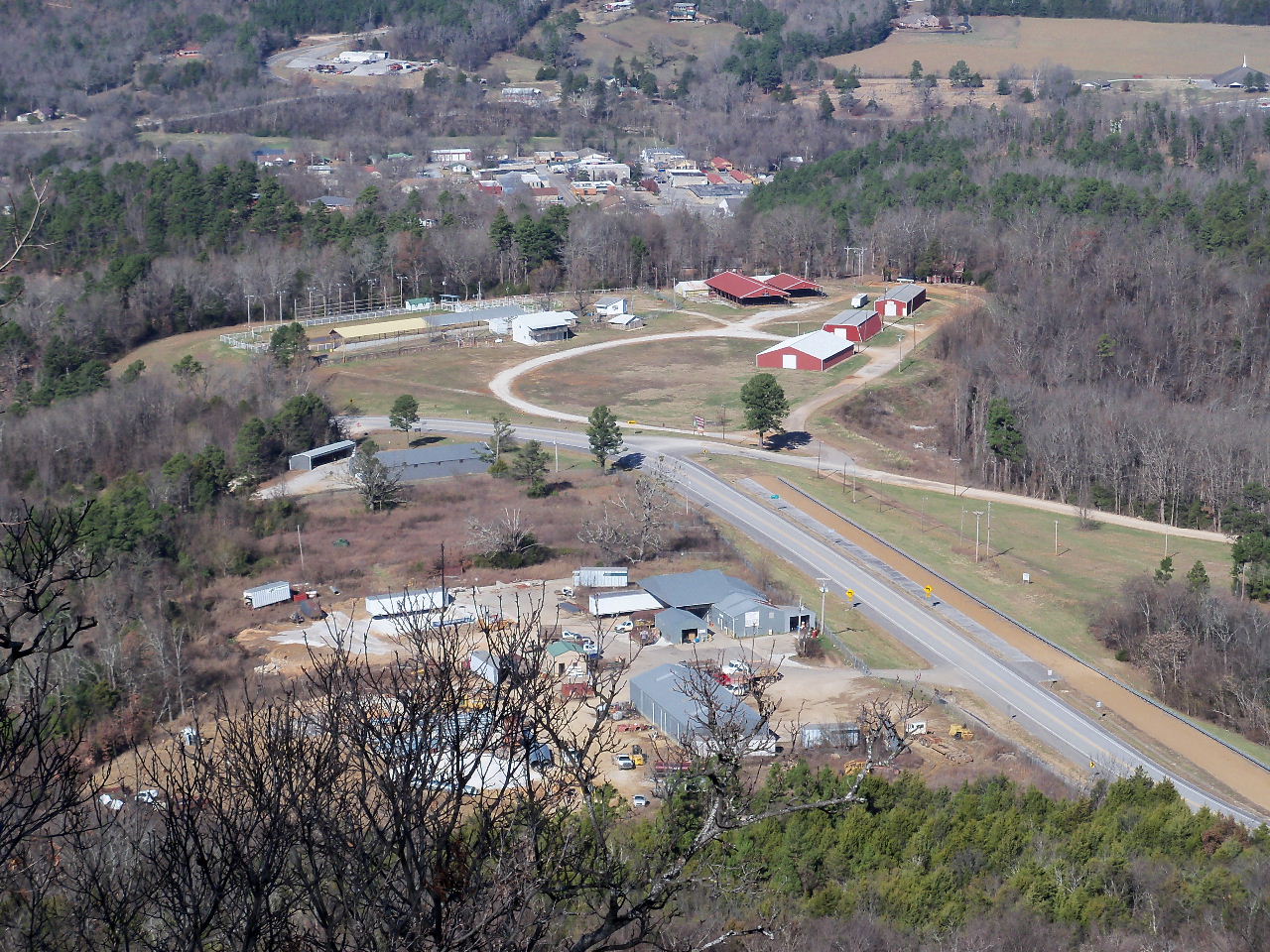
Jasper in the far back, Newton County
Fairgrounds and the road department.
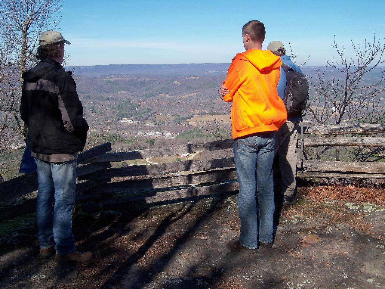
North end vista.....
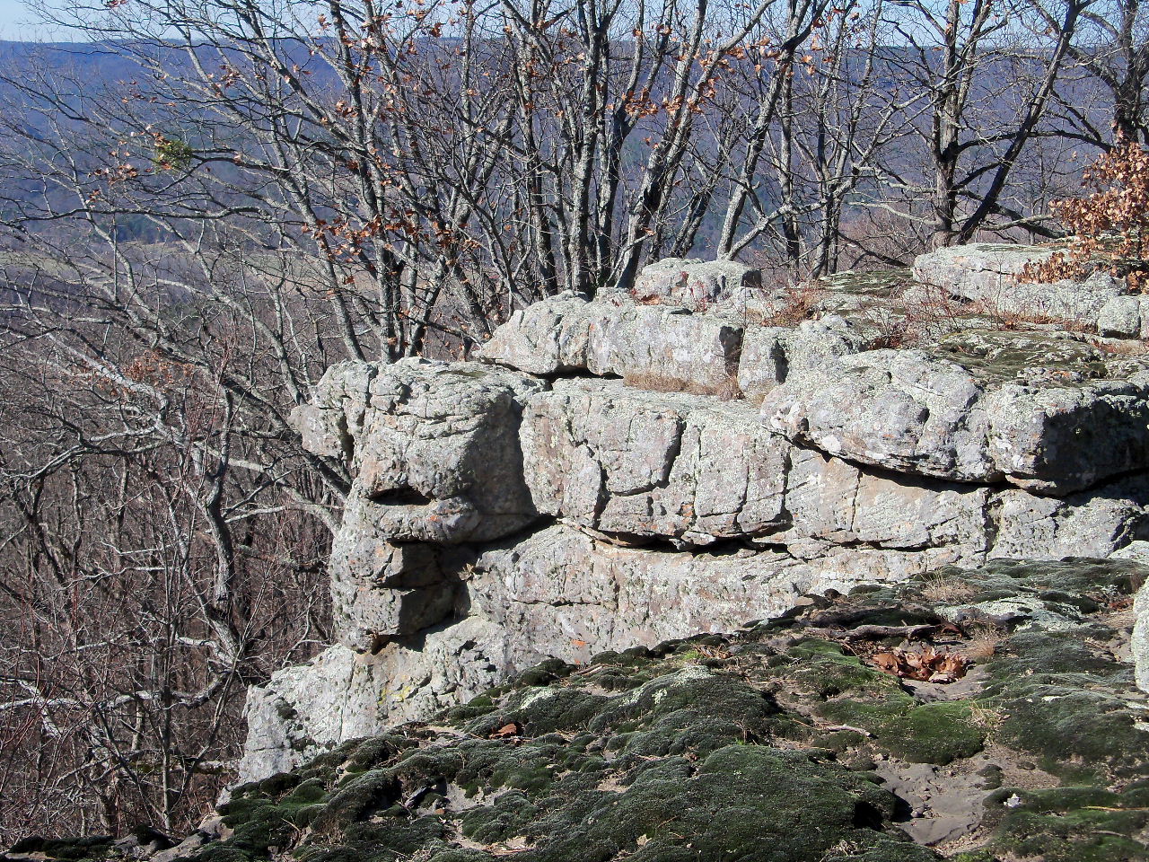
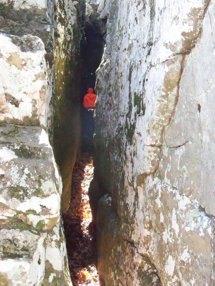
Rock outcropping on top......