.jpg)
| TAKAHIK River Valley Hikers |
| Home Scheduled Hikes Pictures Videos Membership Links Trails & Waterfalls Mushrooms Products In Memory Of |
| ALUM COVE NATURAL BRIDGE GEOLOGICAL AREA |
| Description The Alum Cove Natural Bridge Area is a looping trail that wanders past the Natural Bridge, across a small stream and to a bluff line with caves, rock overhangs and a smaller natural arch. The Natural Bridge (Arch) is 130 feet long and 20 feet wide and is one of the largest in the Ozarks. Early settlers reportedly used it to move their wagons and livestock across the streambed during wet weather. Native Americans used these rock overhangs for shelter while on hunting trips. At one time free-roaming goats inhabited the caves, giving the formations the local name, "Goat Houses". Directions To get to Alum Cove (35.86005°, 93.23297°), take Highway 7 south from Jasper, 14.6 miles or 14.0 miles north from Pelsor, to Highway 16. Go west, 1.1 miles on Highway 16 to FR 1206 (NC 8766, Wayton Road) or from Deer take Highway 16 north, 1.0 miles. Take FR 1206 north, 3.1 miles to FR 1206A (NC 8776 Dr) and the sign for Alum Cove. Take FR 1206A east, 0.2 miles to Alum Cove parking area. |
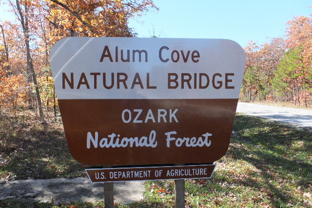 Sign at CR 28 (Wayton Road) (NC 8766 Rd) |
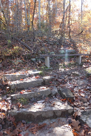
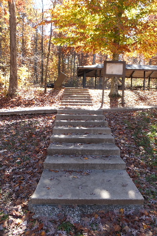 Steps up to Pavilion |
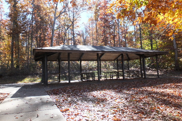 Group Picnic Area/Grill and Pavilion (South side of parking area) User fee required. Handicap accessible. |
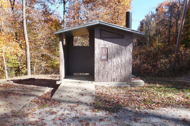 Restrooms |
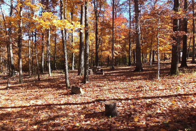 Picnic area, tables/grills north of parking area Handicap accessible. No camping allowed. |
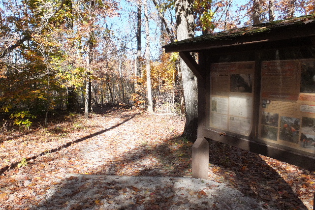 Sign at Trailhead 35.86042°, 93.23336° |
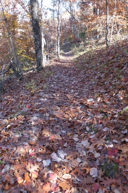 Trail |
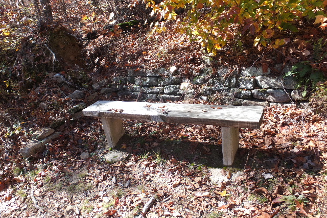
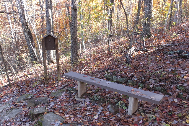 Bench #1 and Sign In 35.86111°, 93.23356° |
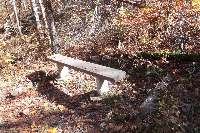
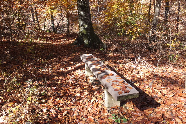
 Bench #2 35.86098°, 93.23470° |
 Arriving at Alum Cove Natural Bridge |
 South side Alum Cove Natural Bridge |
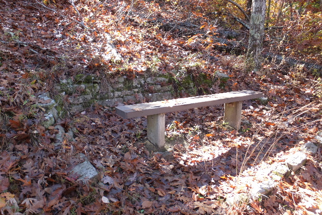
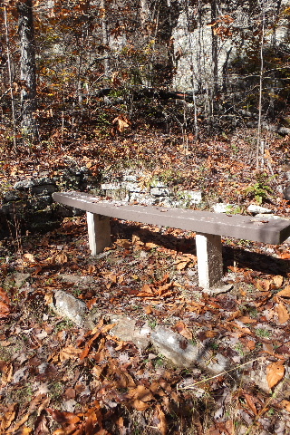
 Bench #3 35.86213°, 93.23347° East of Alum Cove Natural Bridge |
 Arriving at bottom of Alum Cove Natural Bridge from the east. |
 Alum Cove Natural Bridge 35.86181°, 93.23388° |
 Alum Cove Natural Bridge |
 Bench #4 35.86253°, 93.23361° |
 Bench #5 35.86310°, 93.23340° |
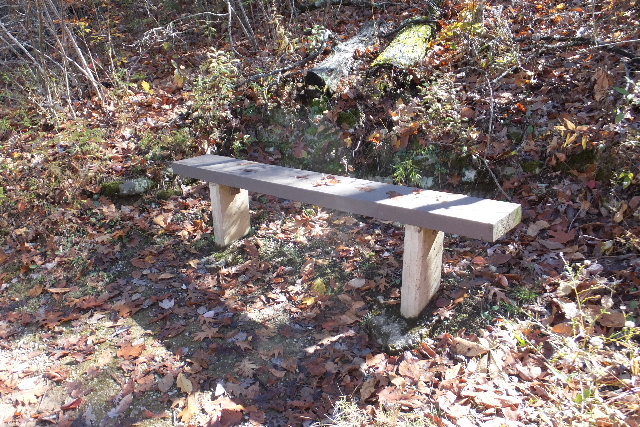
 Bench #6 35.86271°, 93.23439° |
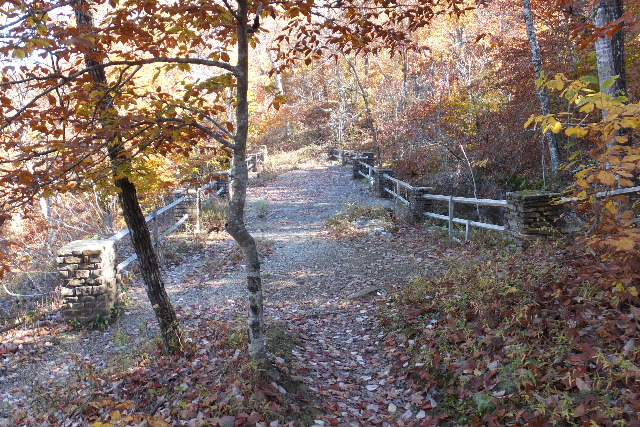
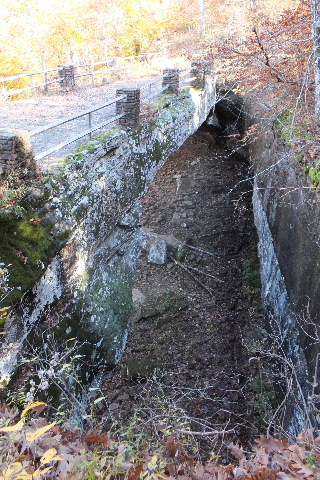
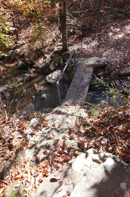 Footbridge 35.86329°, 93.23418° |
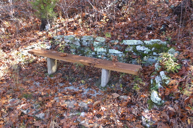
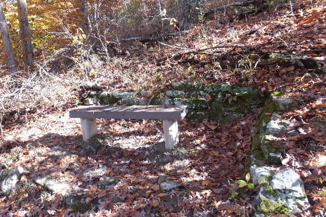
 Bench #7 35.86364°, 93.23433° |
 Bench #8 35.86326°, 93.23490° |
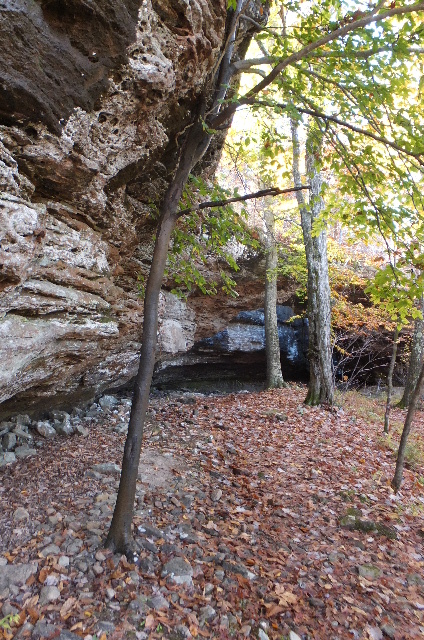
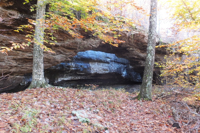
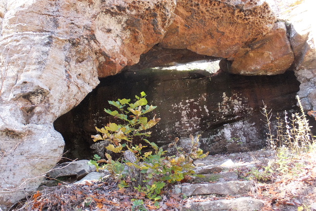 Arch 35.86293°, 93.23516° |
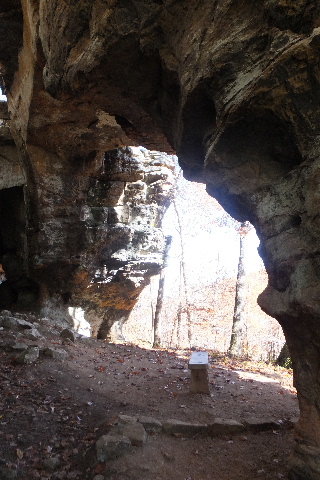
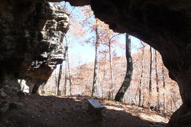
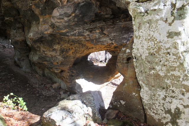
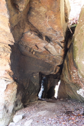 Inside Arch looking east |
 Inside Arch looking south |
 Bench #9 under smaller Natural Bridge 35.86275°, 93.23521° |
 Looking up at Natural Bridge |
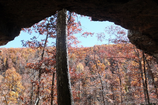
 Looking out from Natural Bridge |
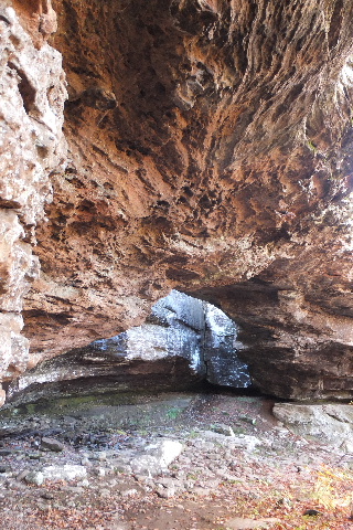
 Cave #1 35.86231°, 93.23571° |
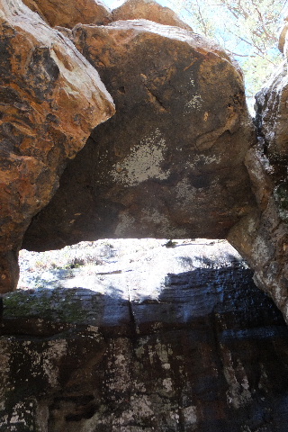
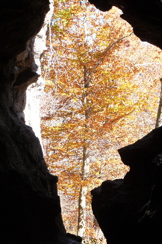
 Porthole inside Cave #1 |
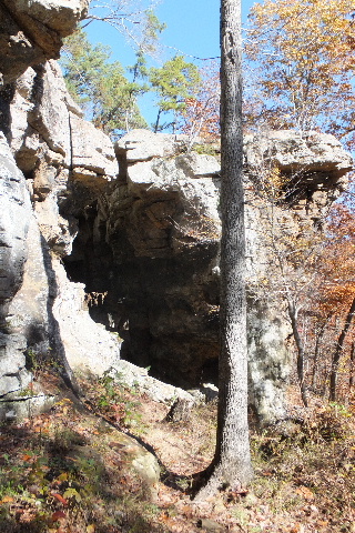 West entrance of Cave #1 |
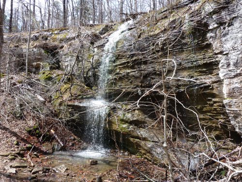 Waterfall 35.86217°, 93.23597° (Pic by Carlton2000) |
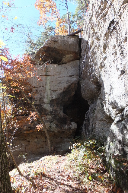 Cave #2 East Entrance |
 Inside Cave #2 looking East |
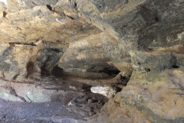 Inside Cave #2 35.86132°, 93.23612° |
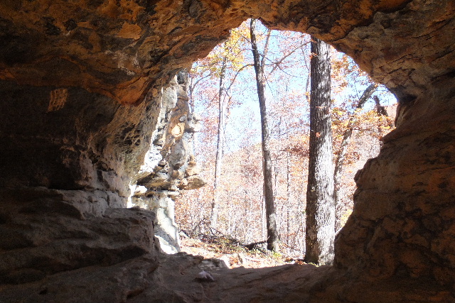
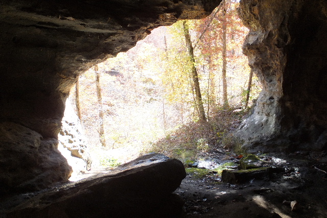 Cave #2 Looking out South Entrance |
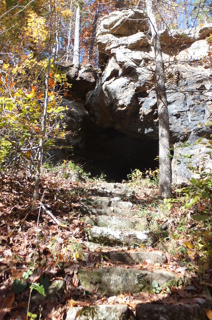 Cave #2 South Entrance & Steps |
 Bench #10 35.86157°, 93.23551° |
 Bench #11 35.86170°, 93.23428° |
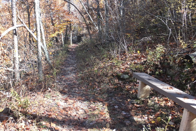 From Bench #11 looking up trail |