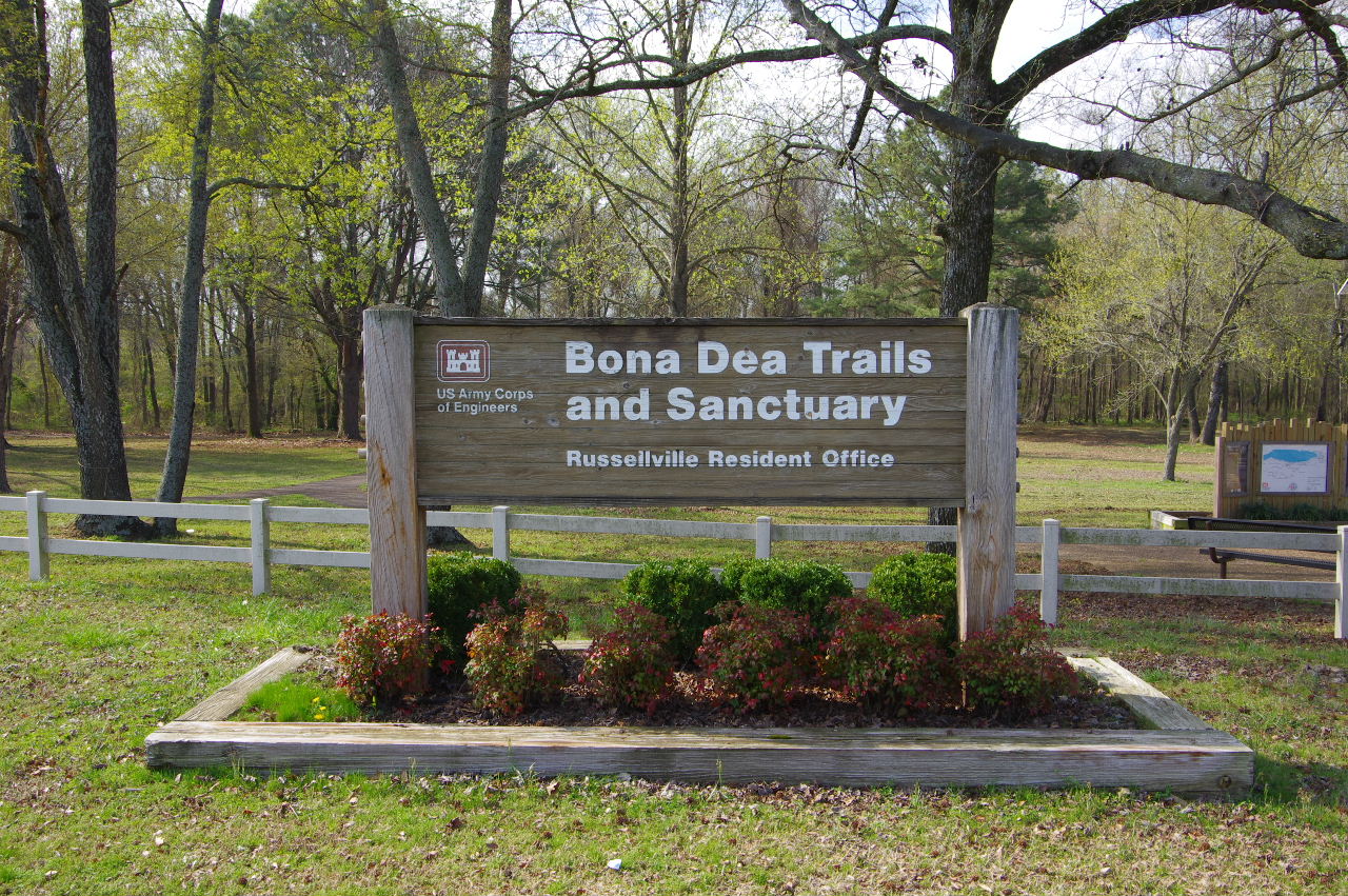
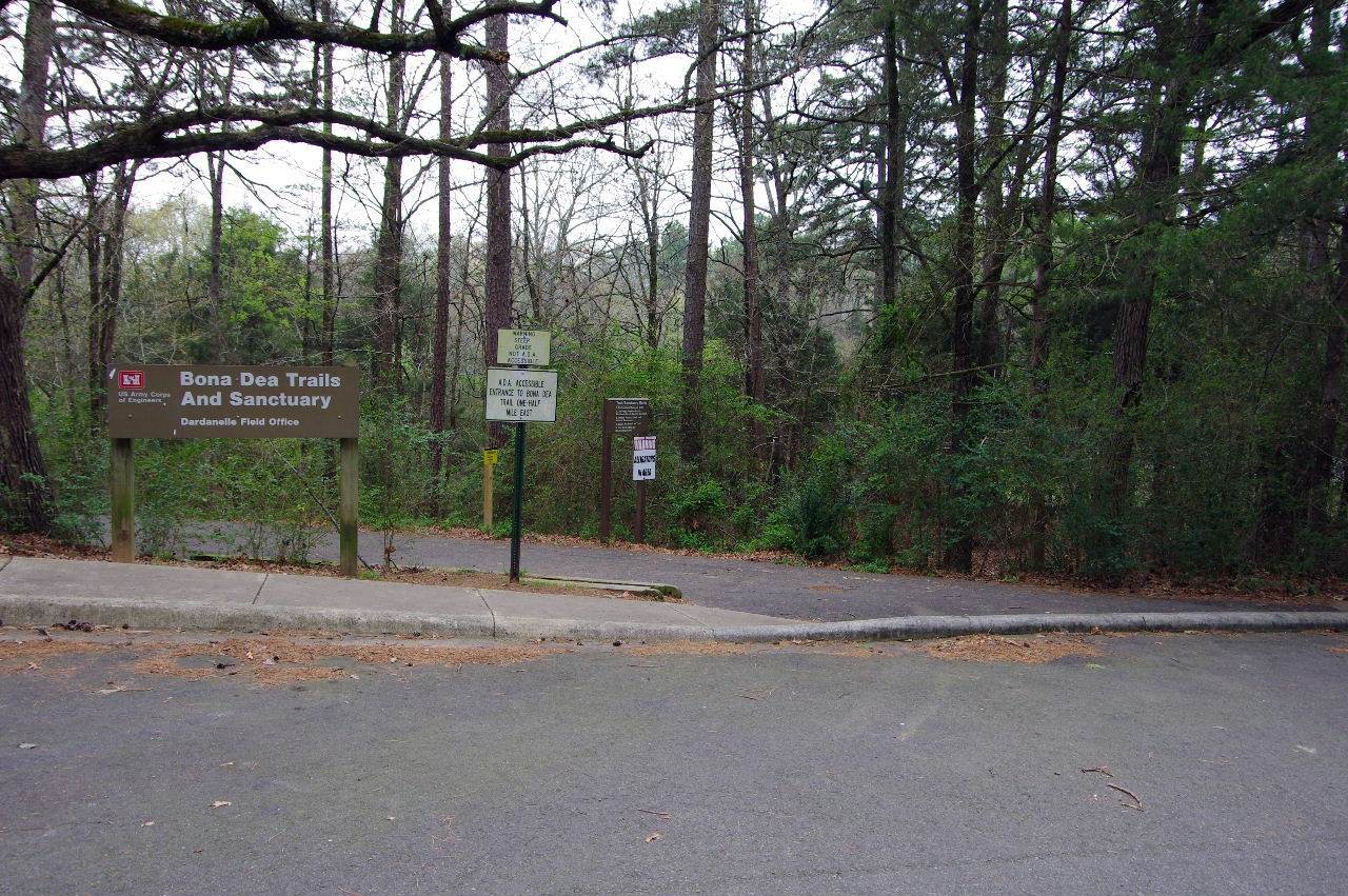
Bona Dea Entrance Sign
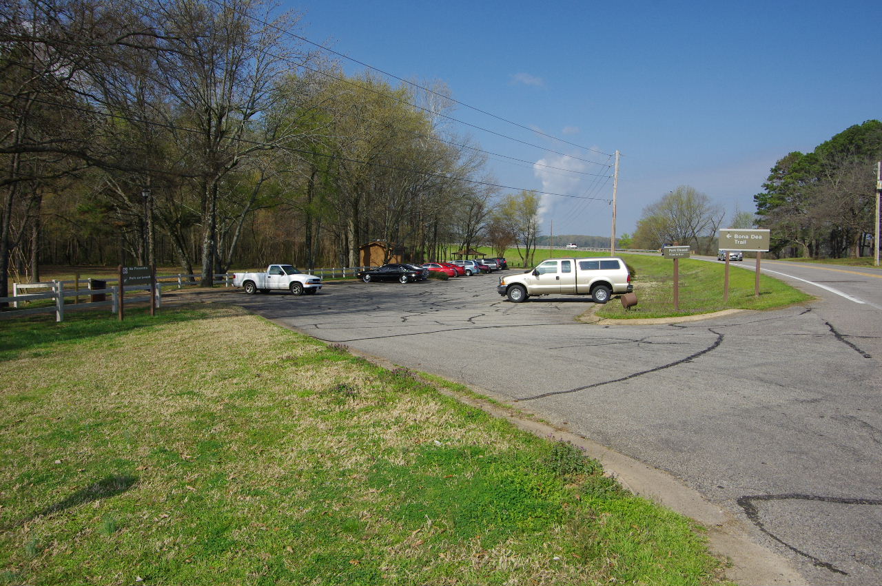
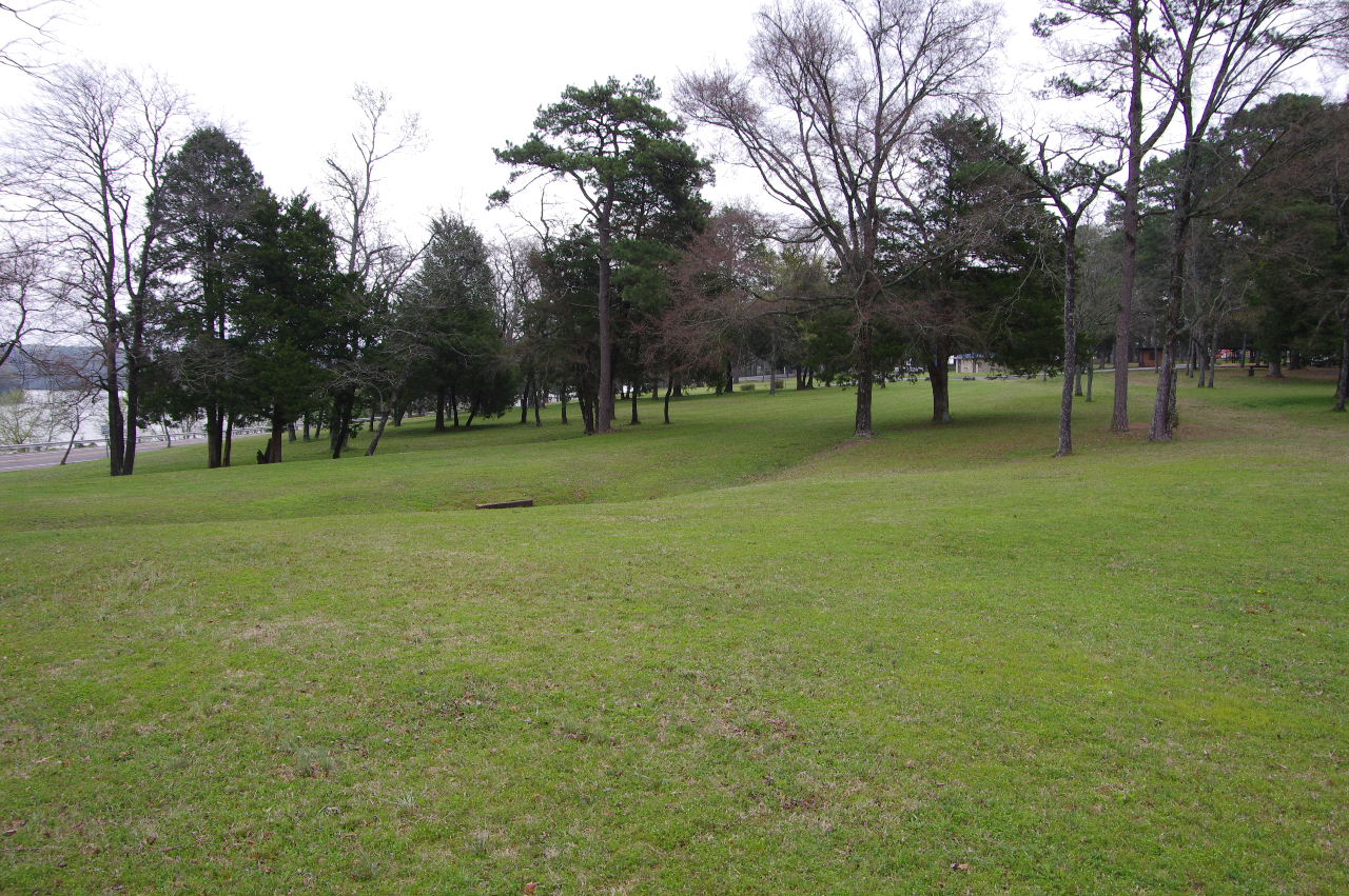
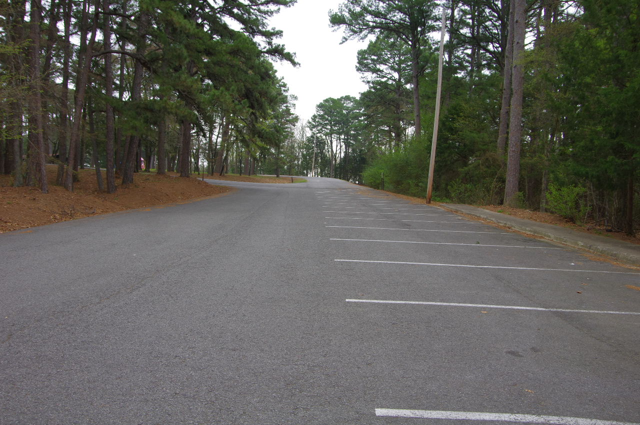
Main Parking Area on Lakefront Drive
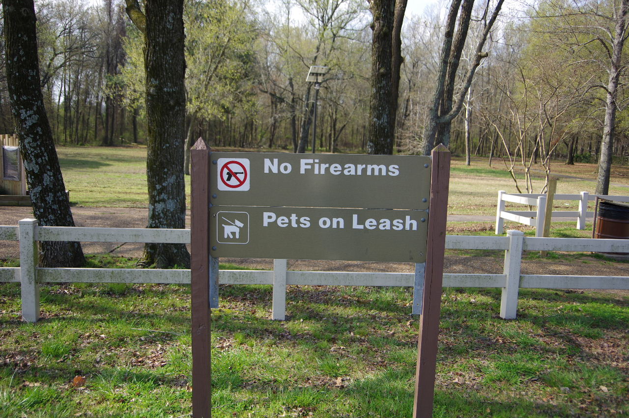
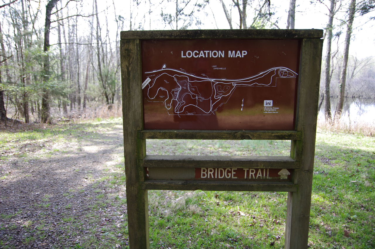
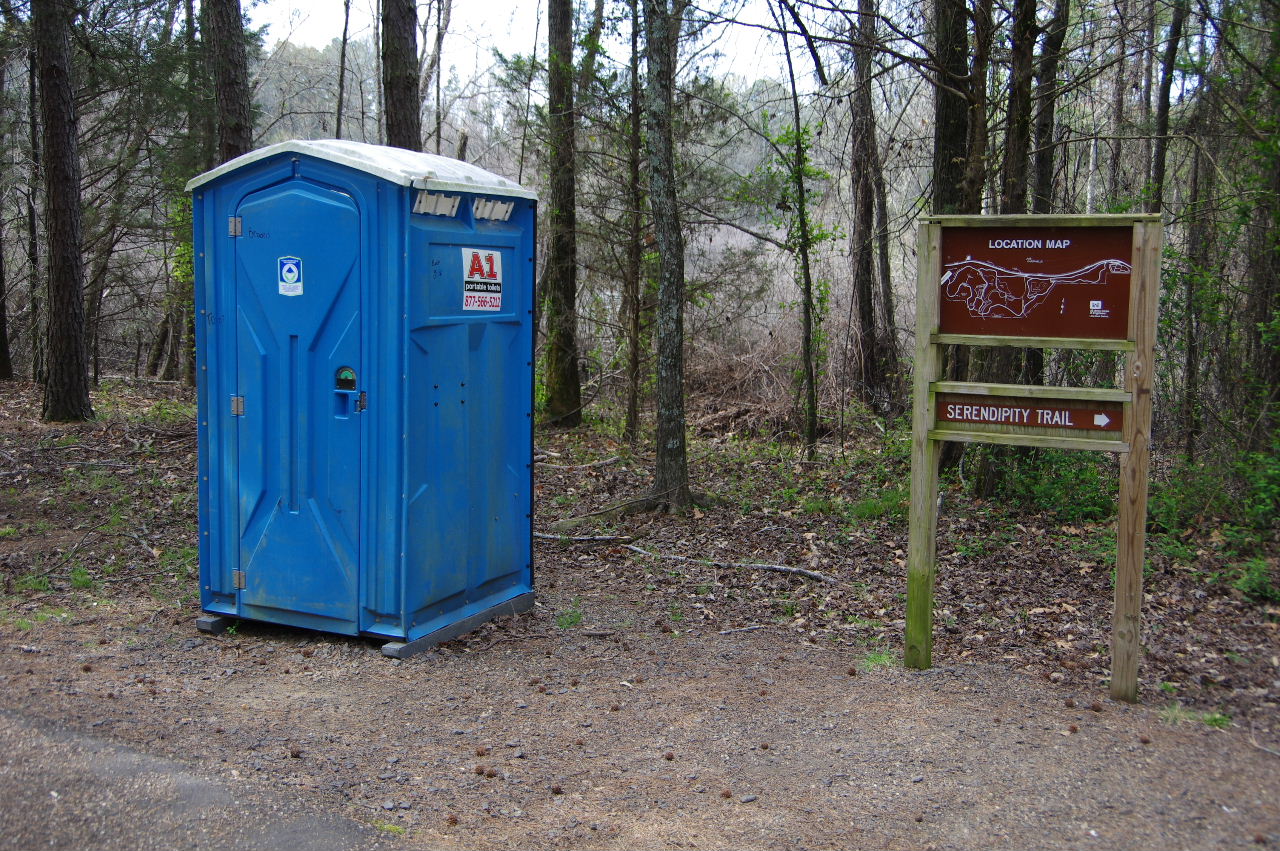
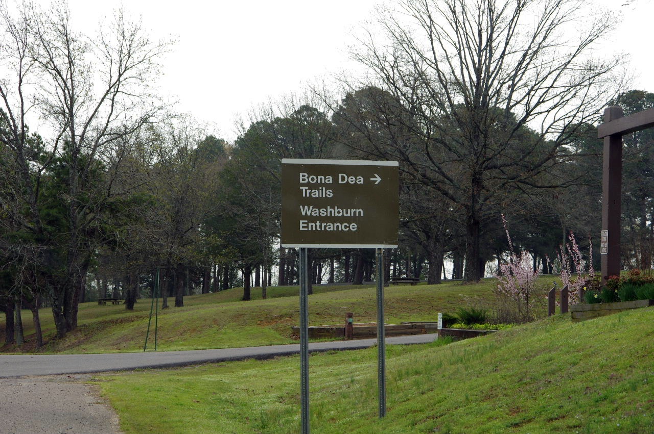
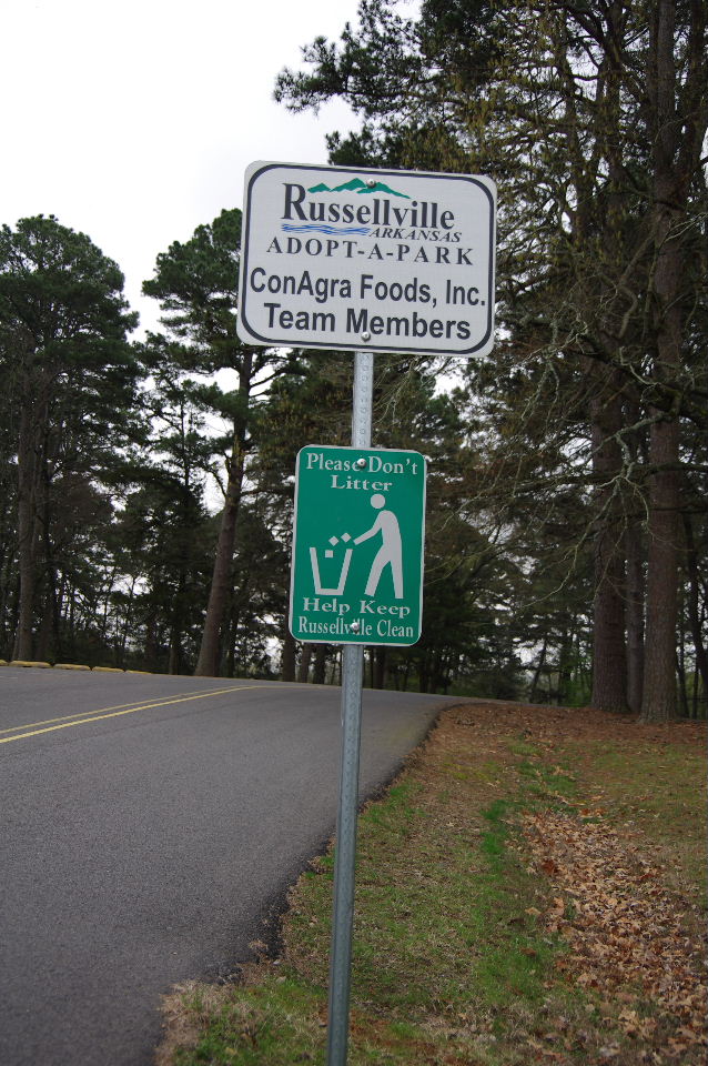
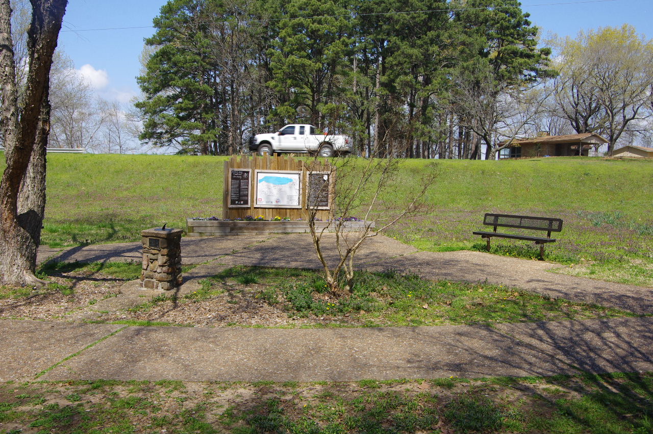
Sign at Parking Area
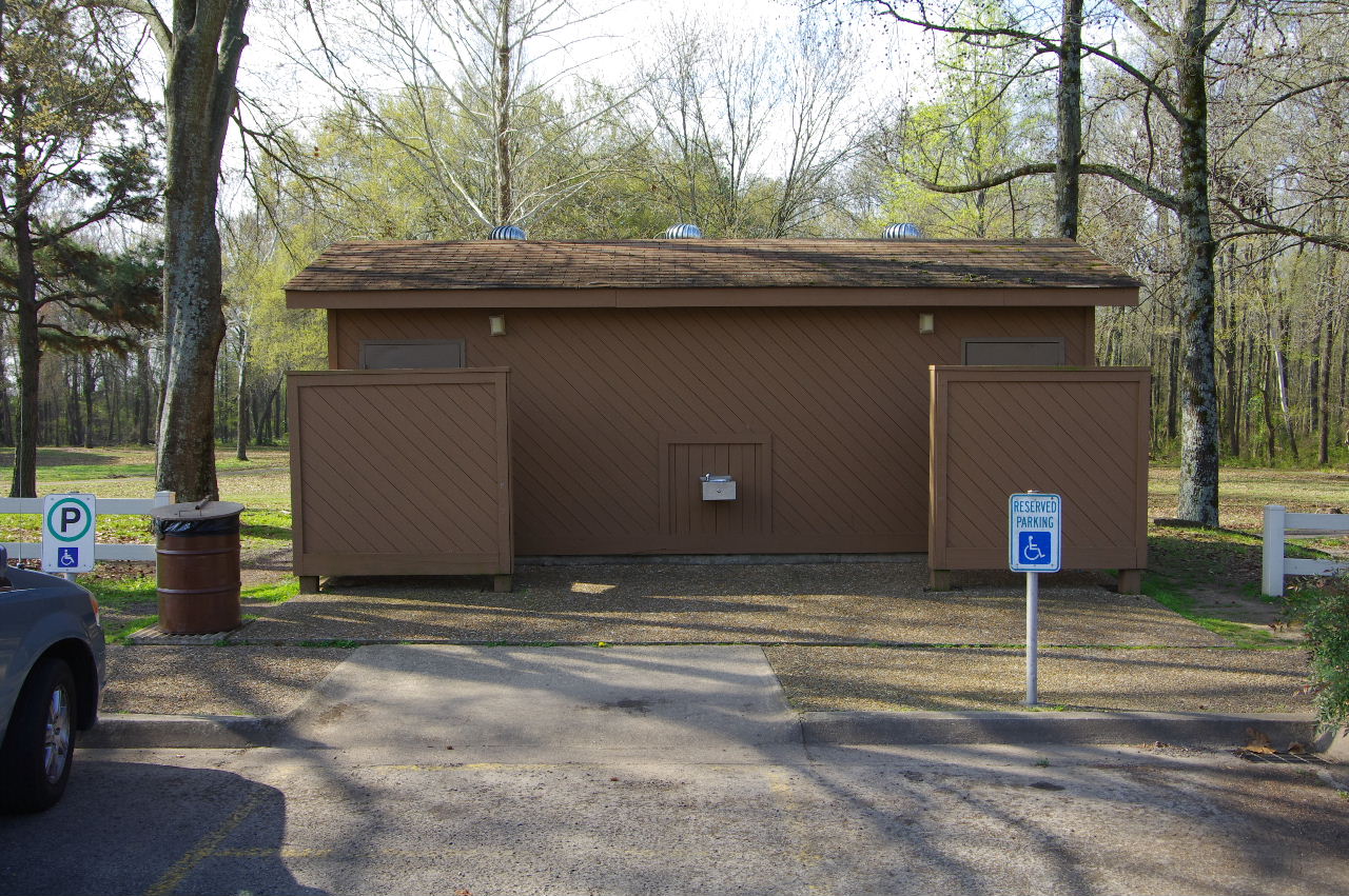
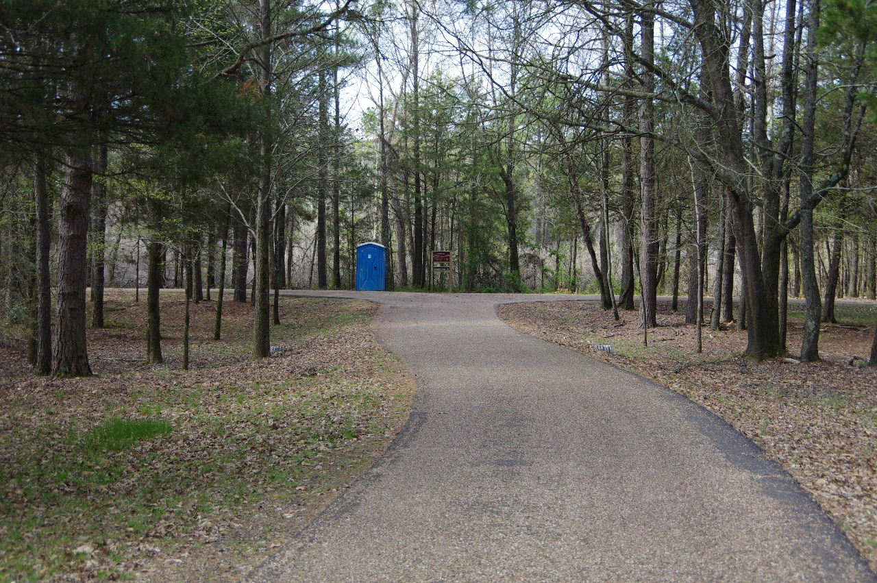
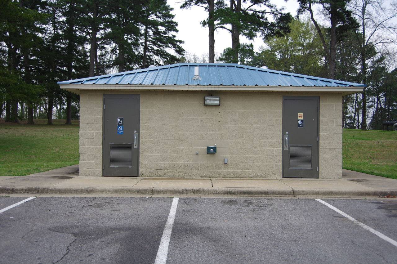
Bathrooms
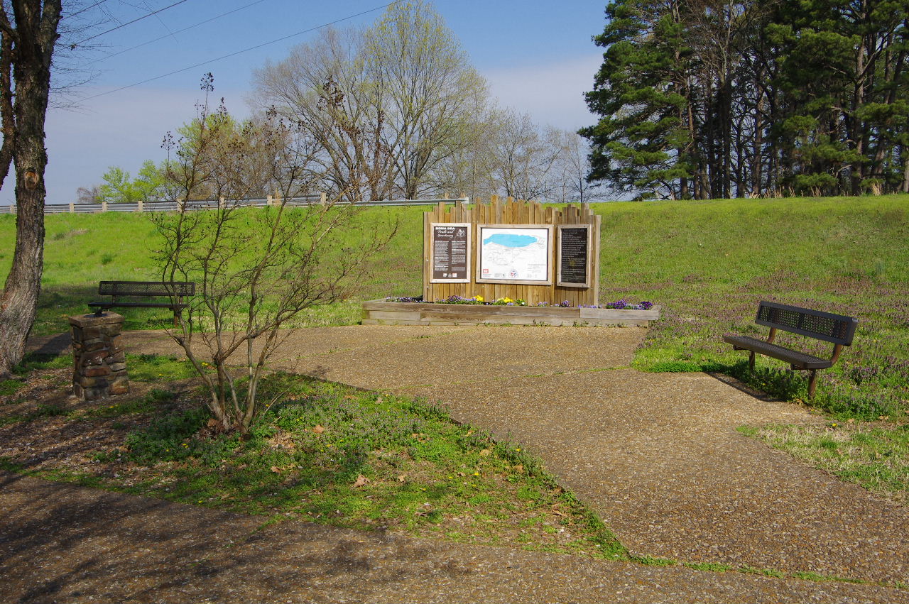
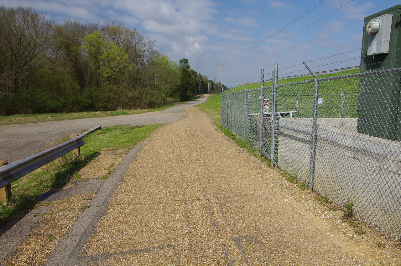
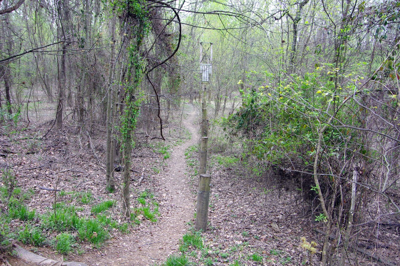
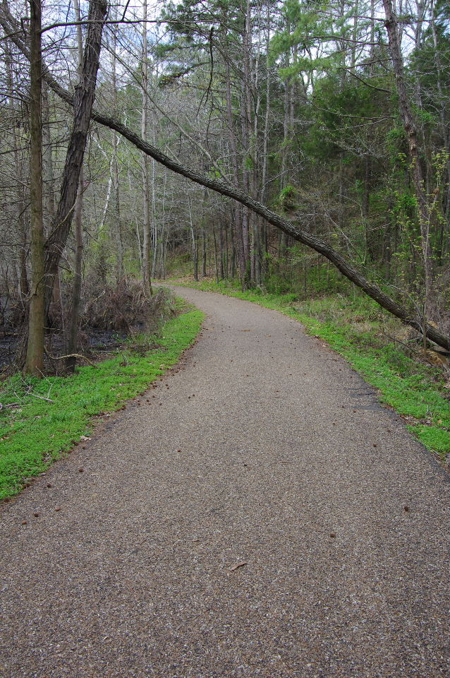
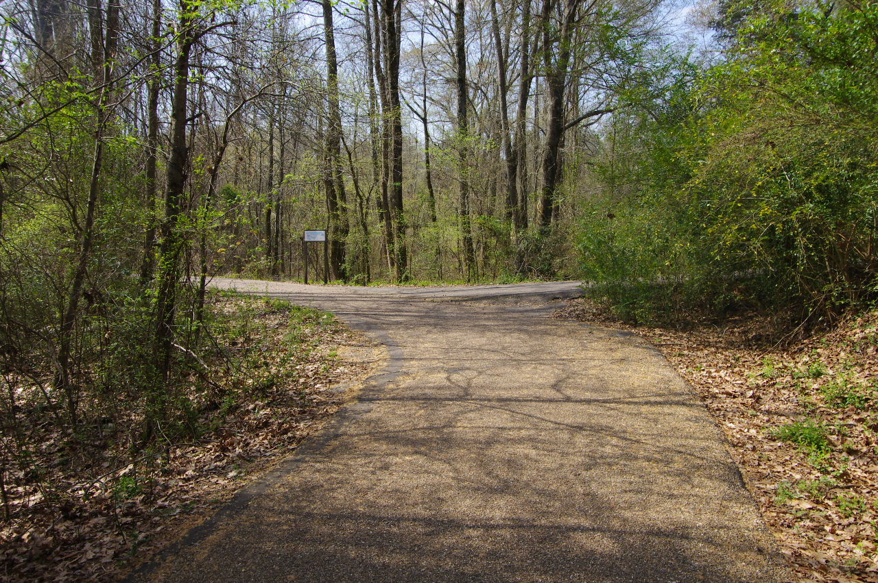
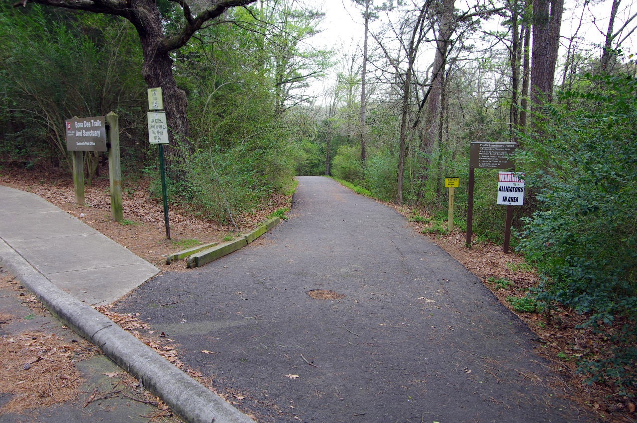
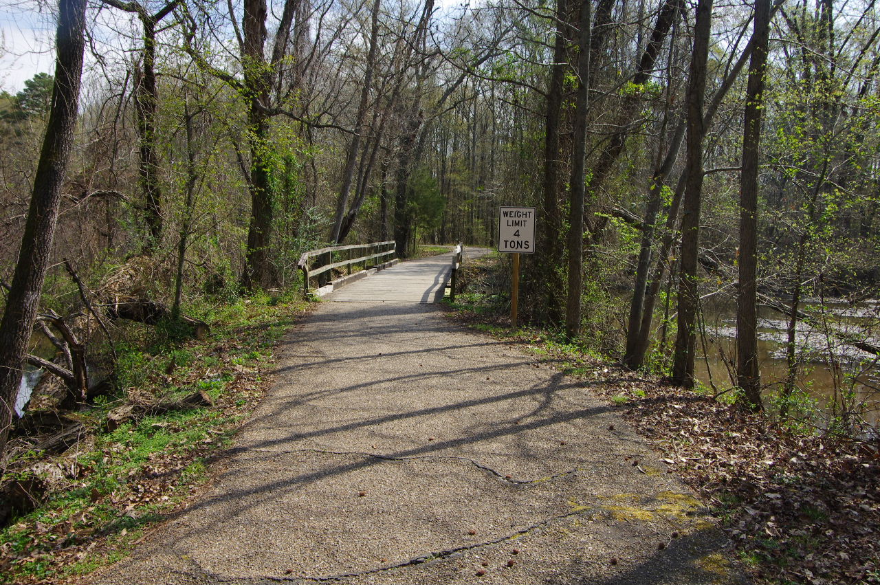
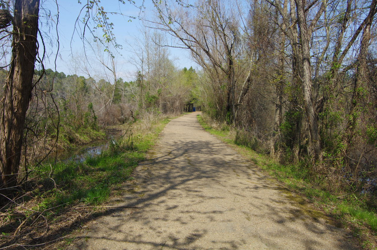
Entrance to Bona Dea Trails
35.30587°, 93.14574°
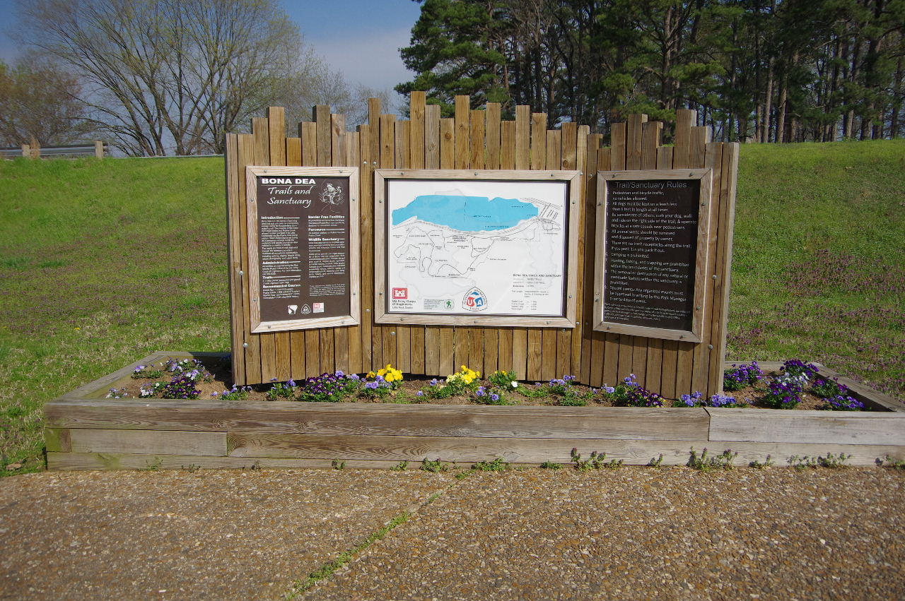
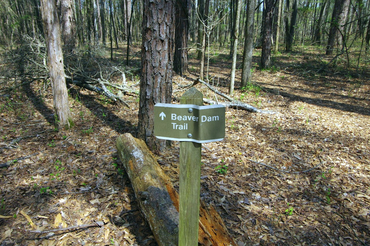
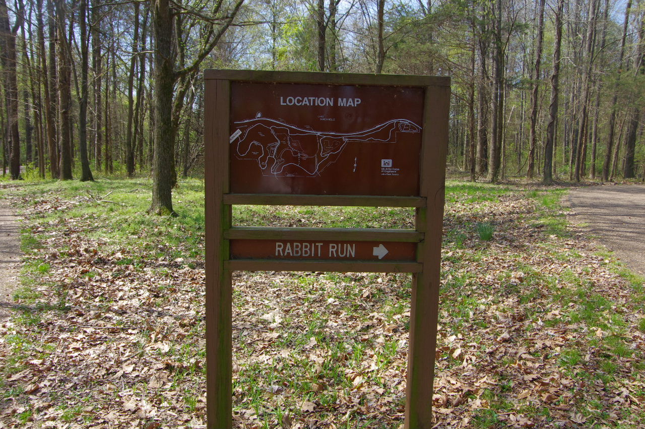
Bona Dea Trail Sign
Built and maintained by
TAKAHIK River Valley Hikers
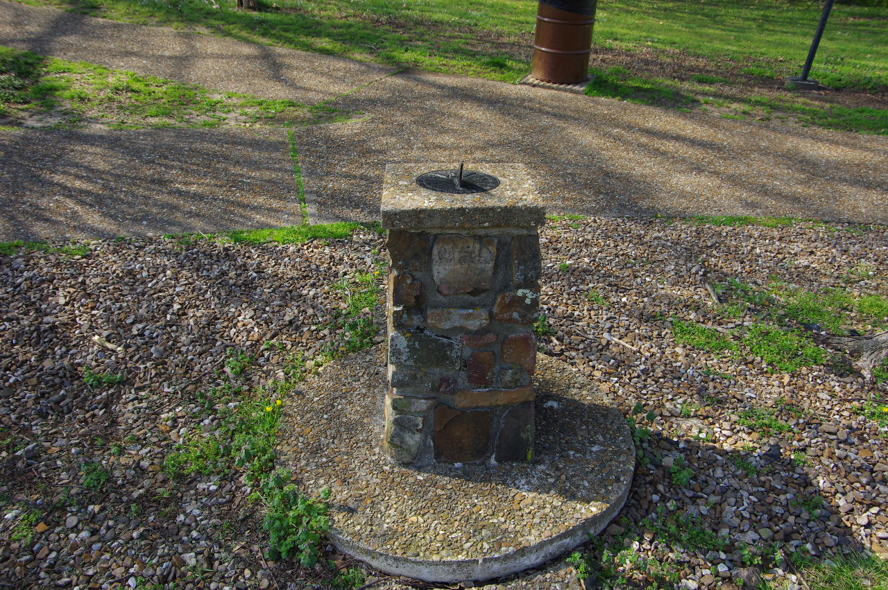
Sundial
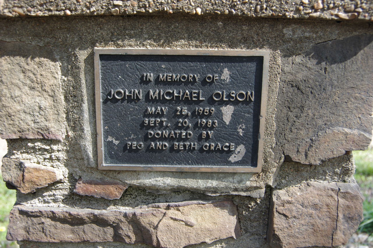
Plaque on Sundial
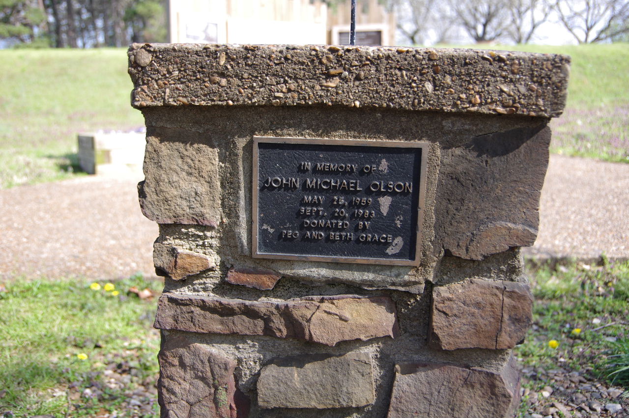
Sundial in Memory of John Michael Olson
5/25/59 - 9/20/83
Donated by Peg and Beth Grace

Grave Monument Oakland Cemetery, Rusl., AR
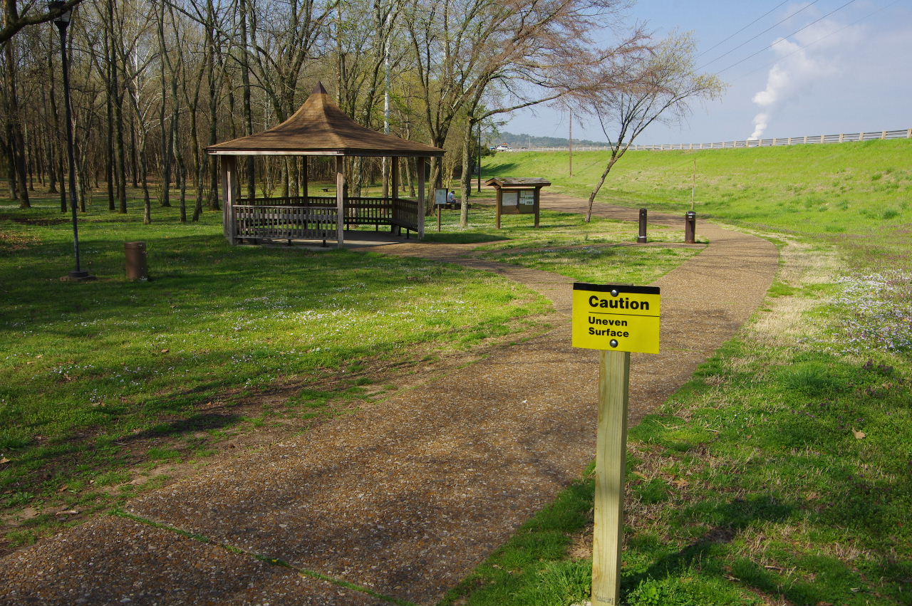
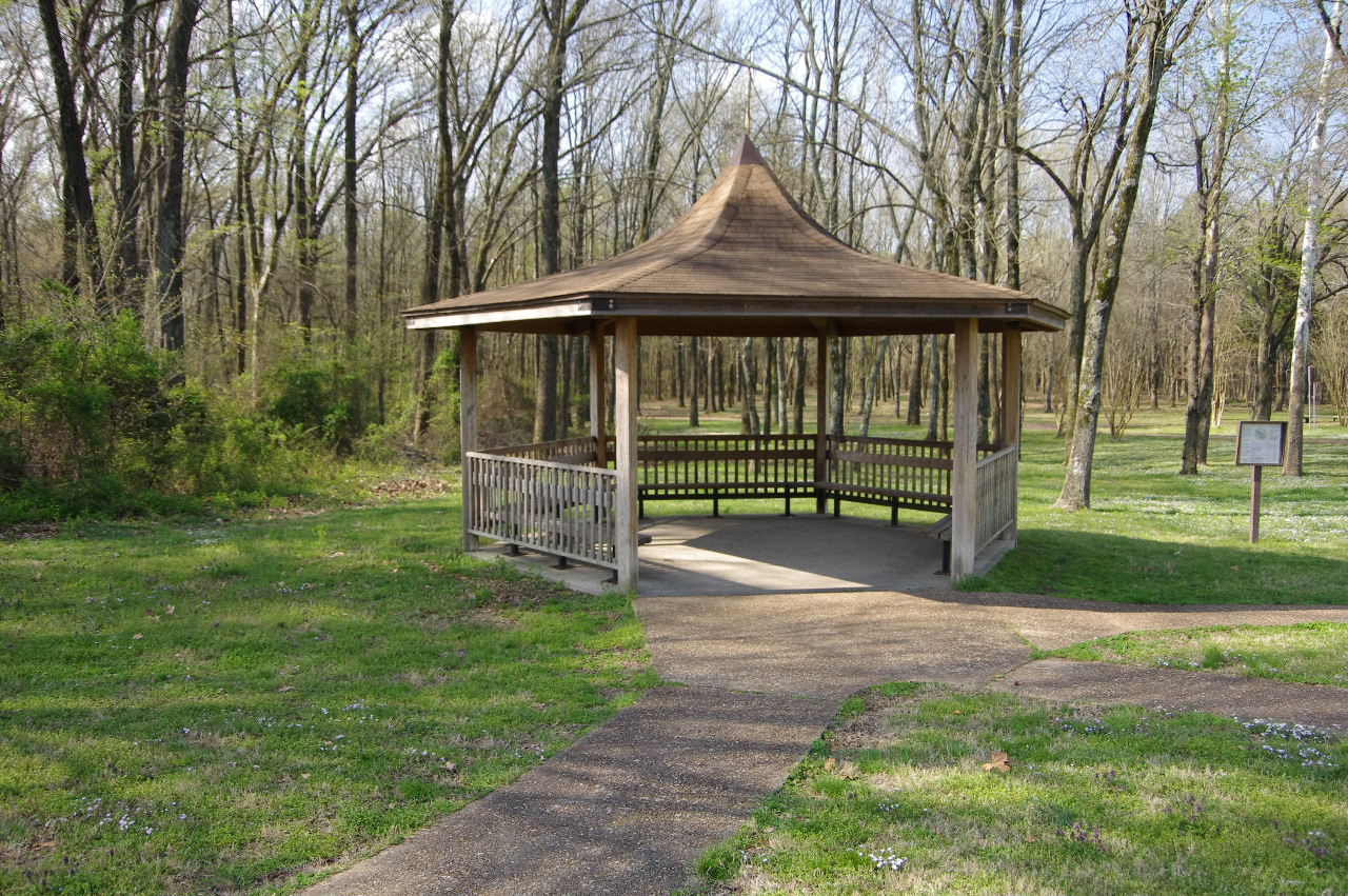
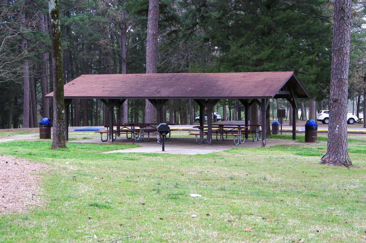
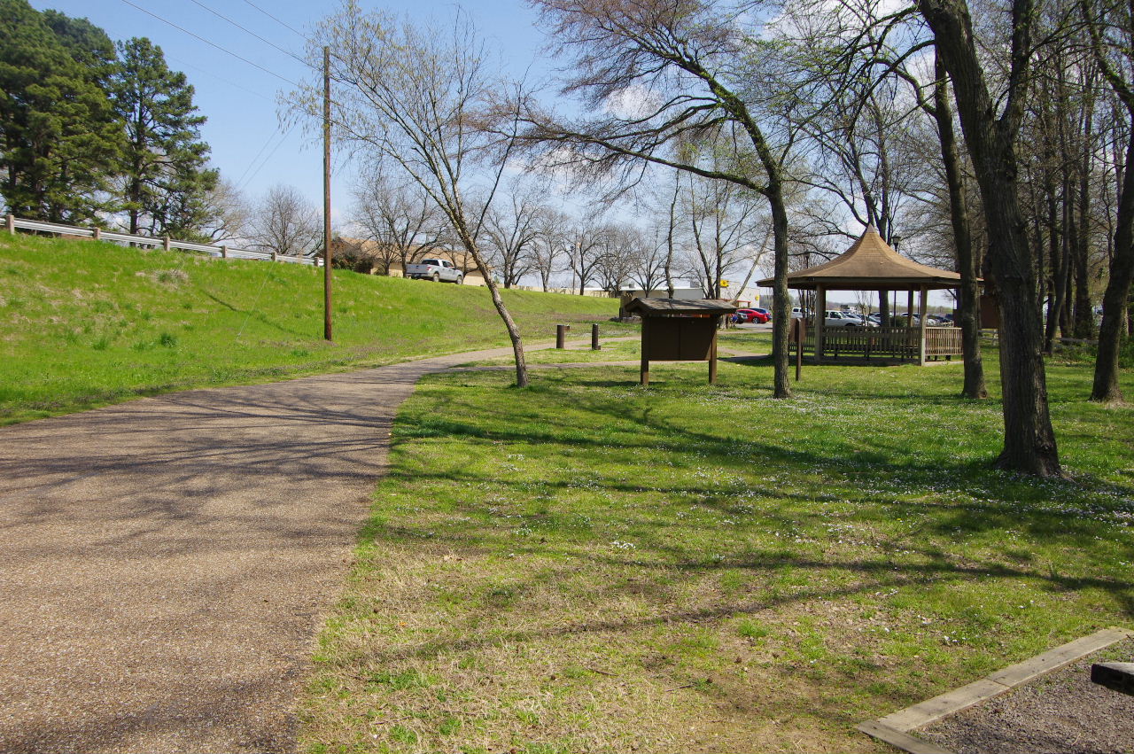
Pavilion at Entrance
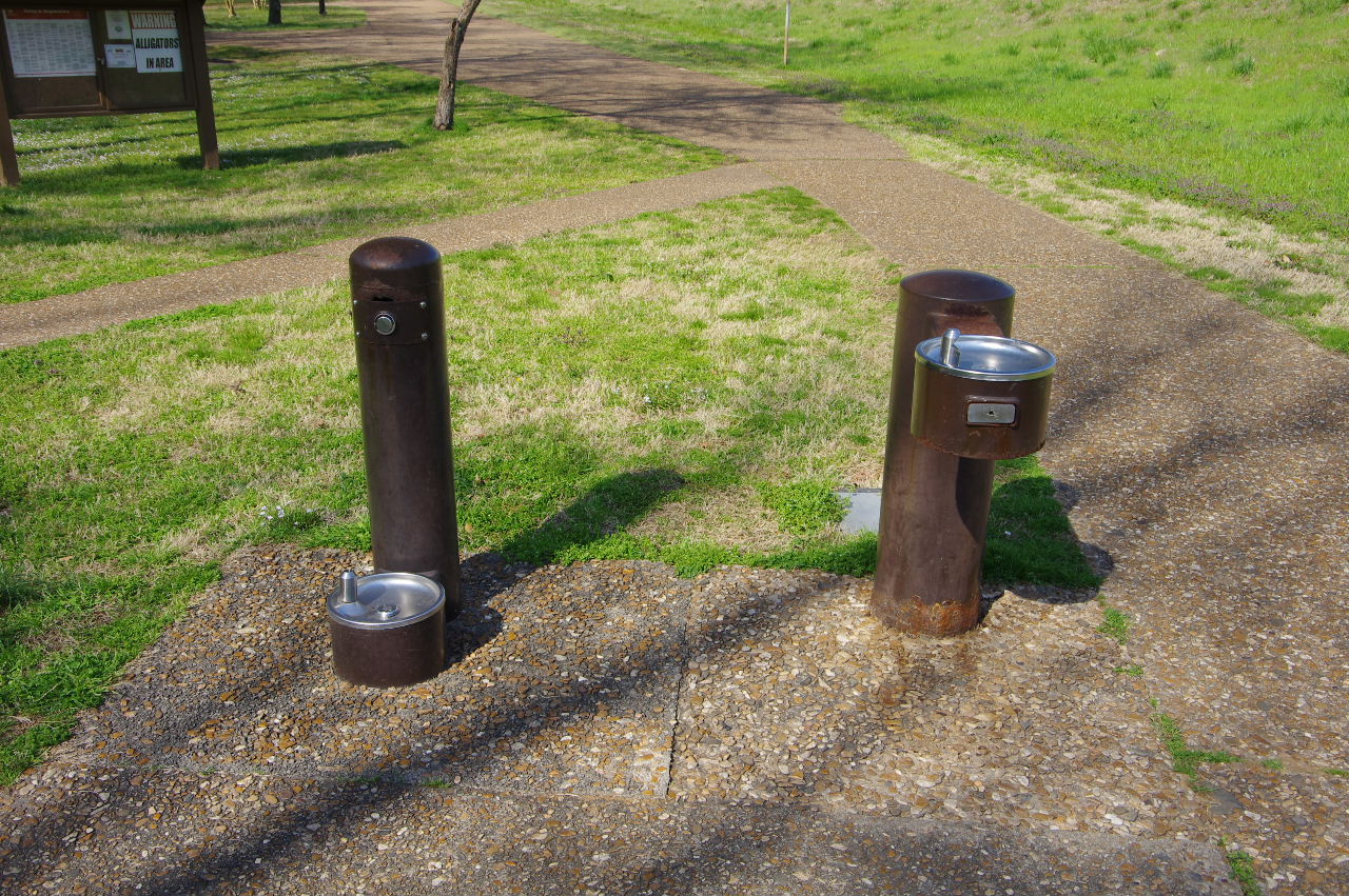
Water Faucets (Pets and People)
Entrance from Parking Area
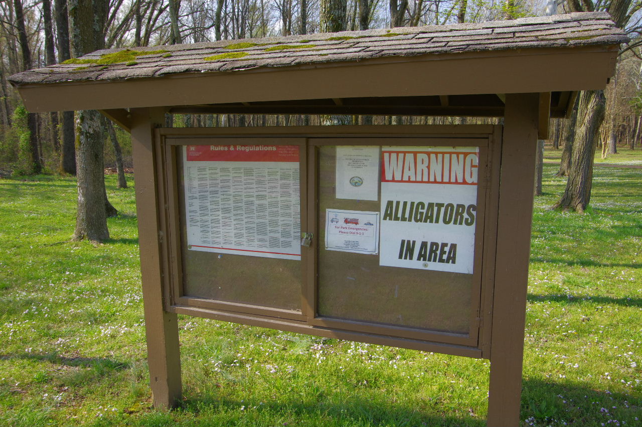
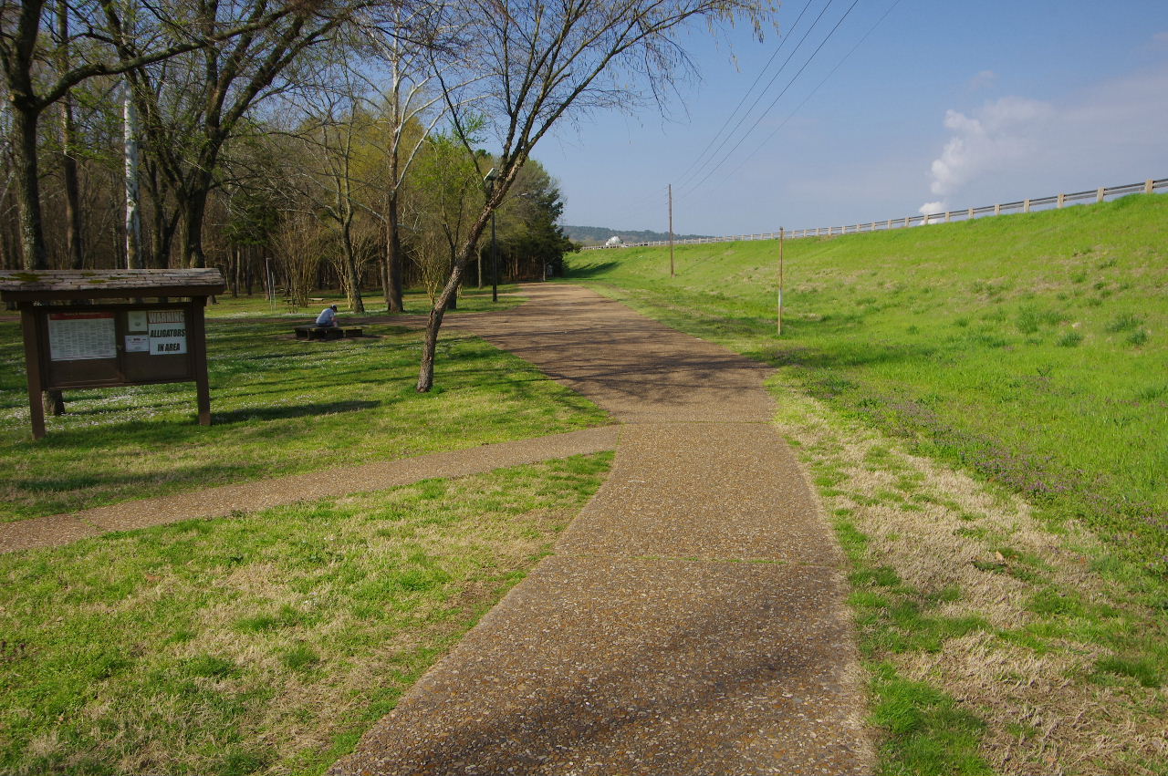
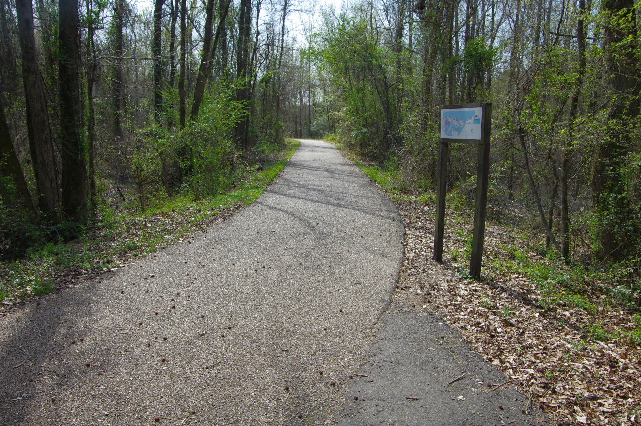
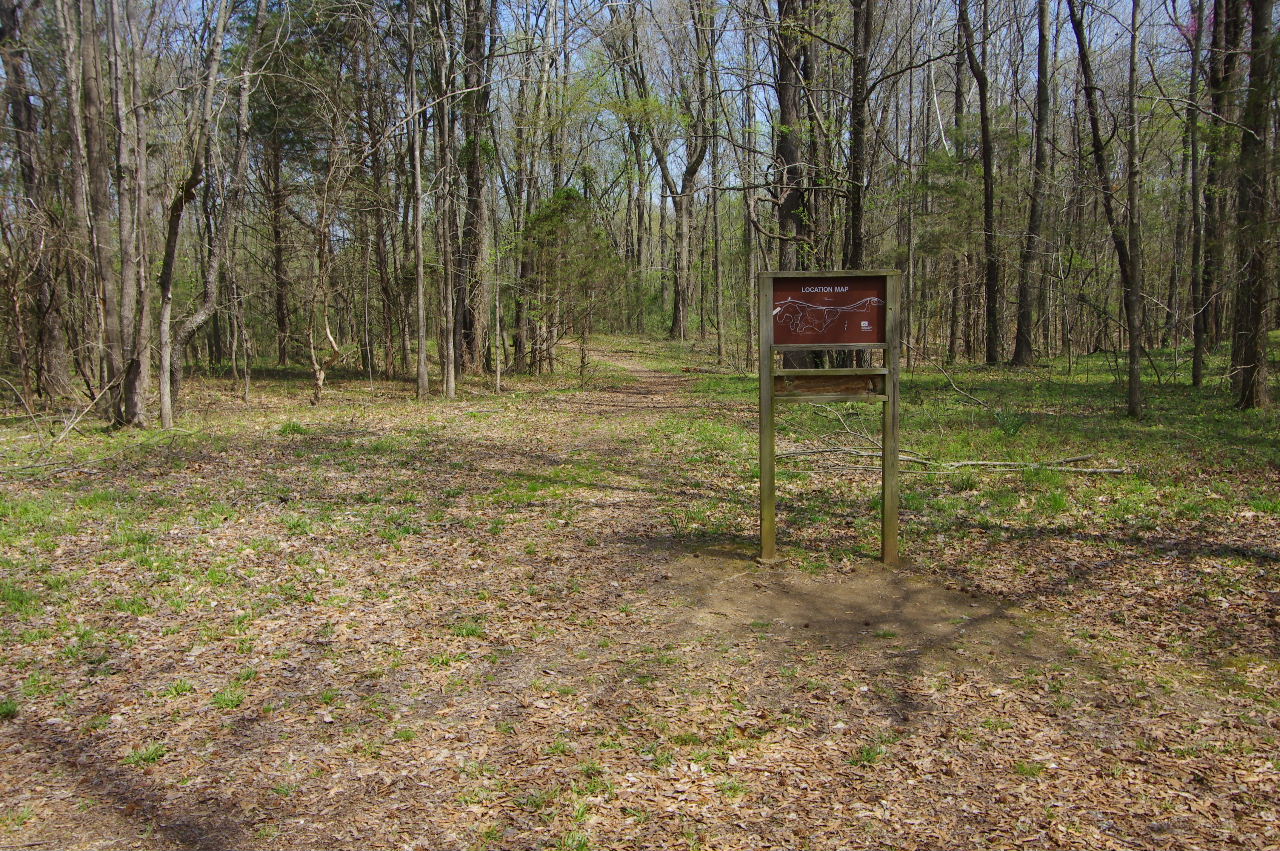
Bulletin Board
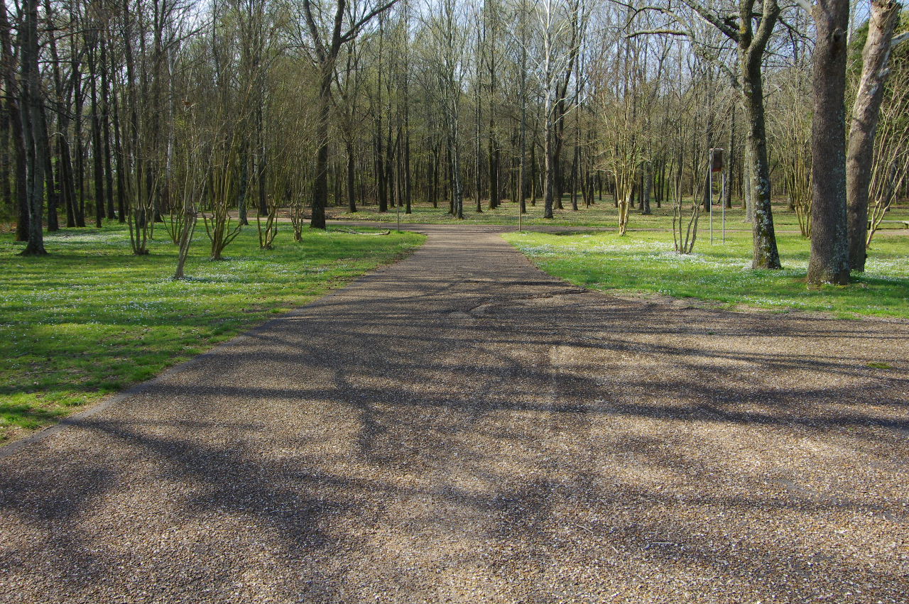
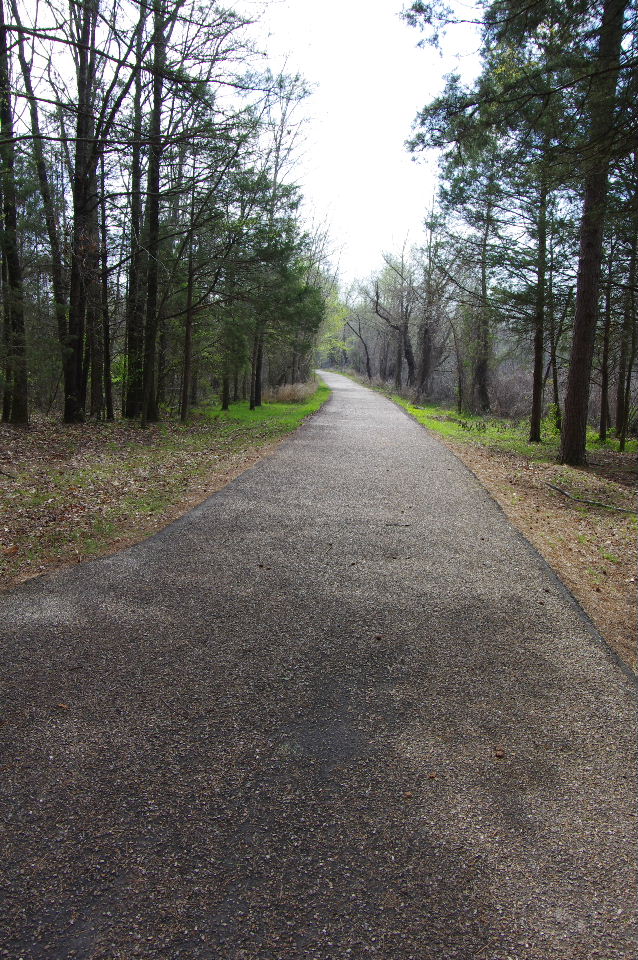
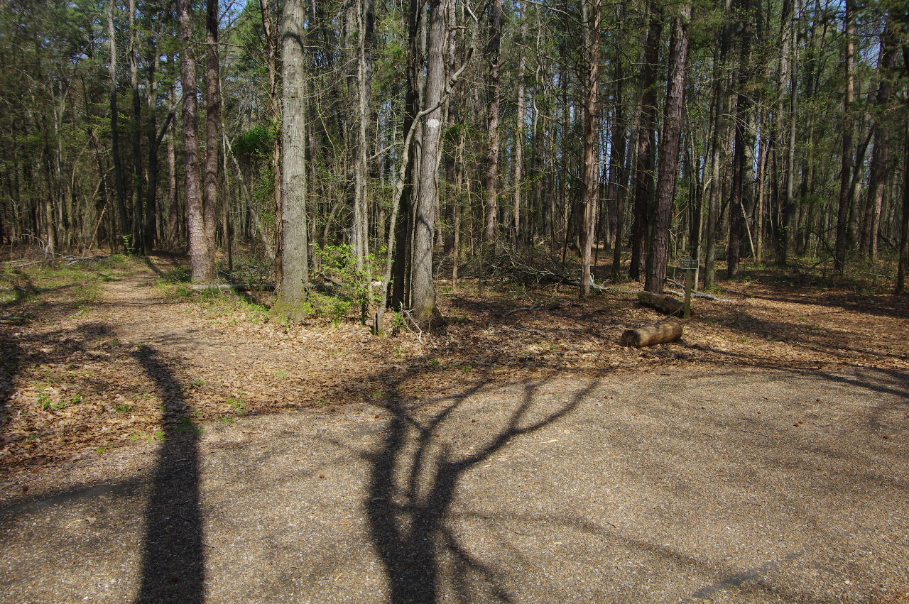
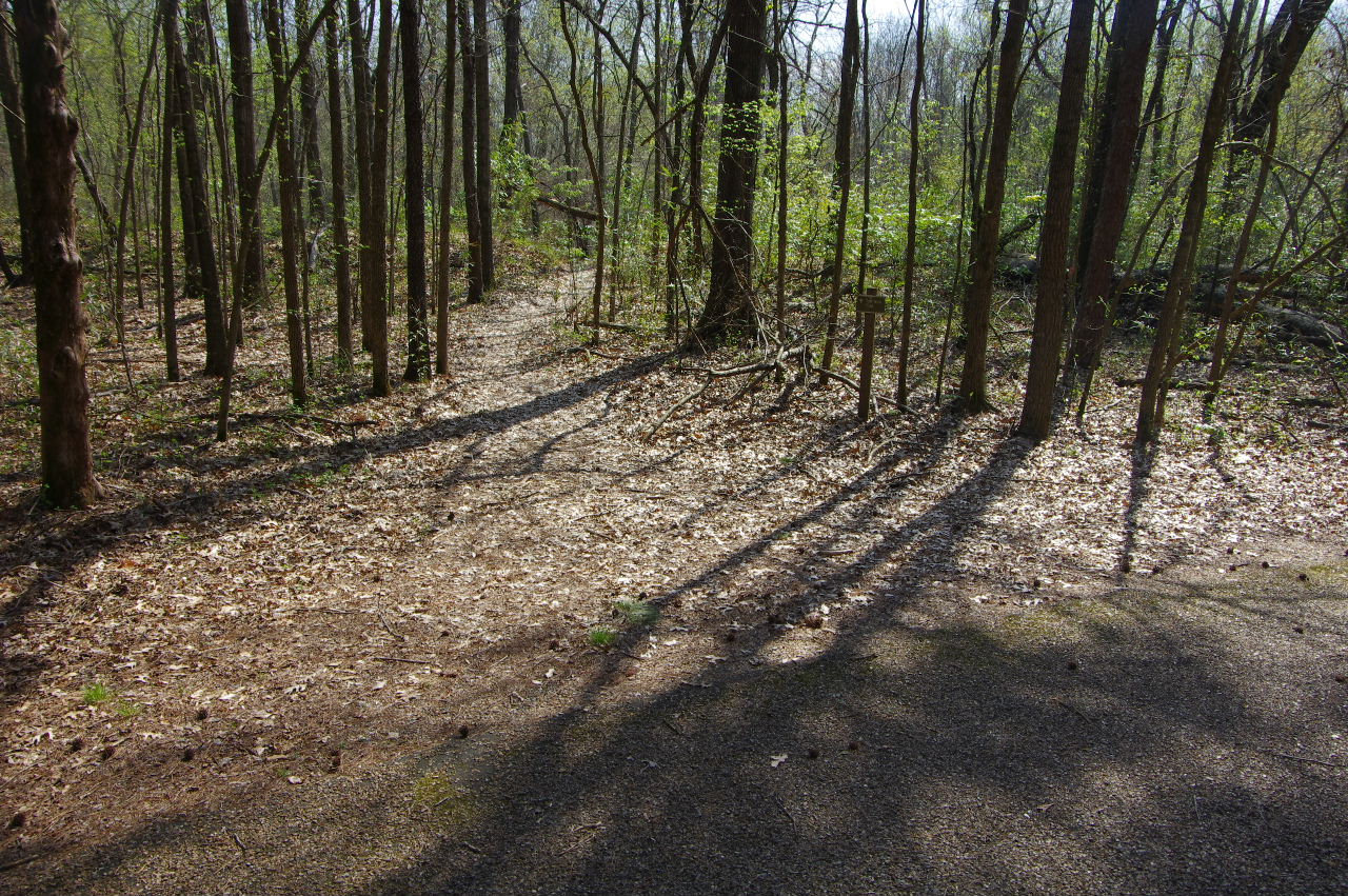
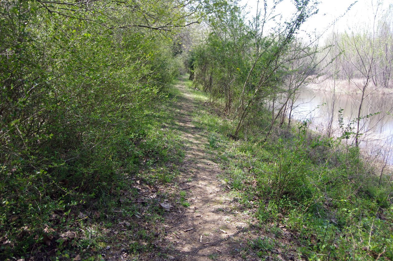
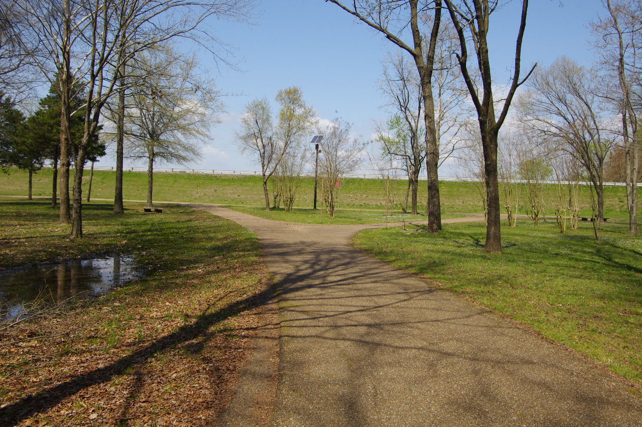
Beginnig of trails (looking south)
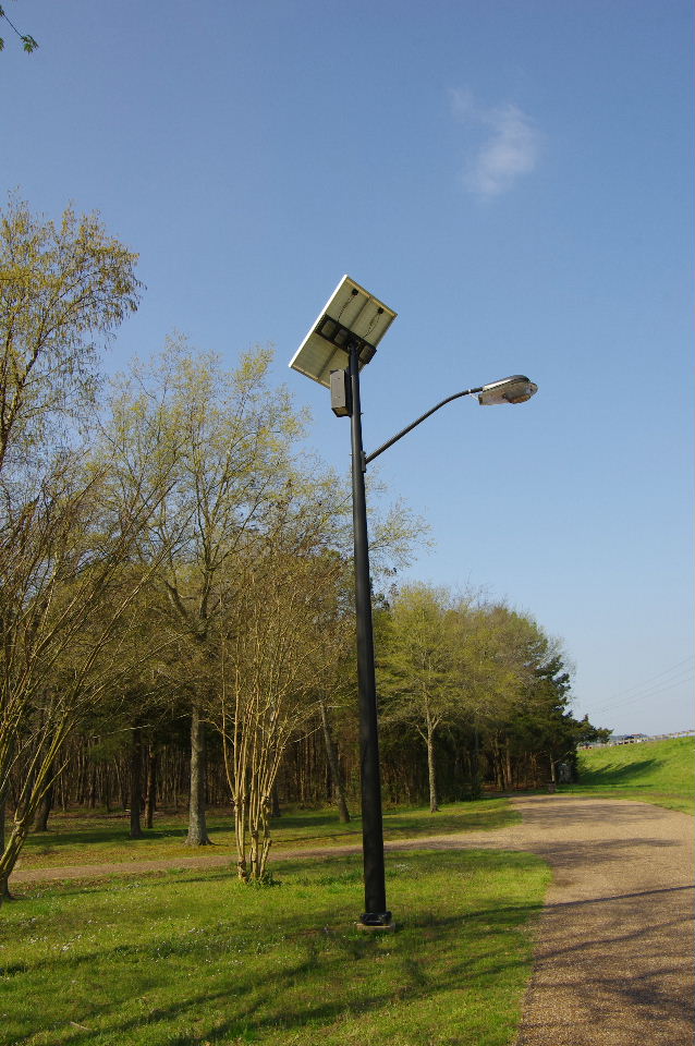
Solar Light at beginning of trails
Beginning of trails (looking west)
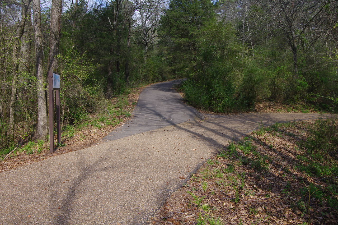
(We will be following the outside Serendipity
Trail counterclockwise 3.5 miles)
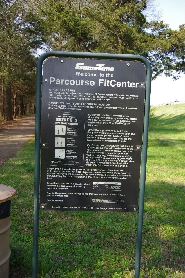
Parcourse FitCenter Sign
(Parcourse is an outdoor workout center powered
by your own weight.)
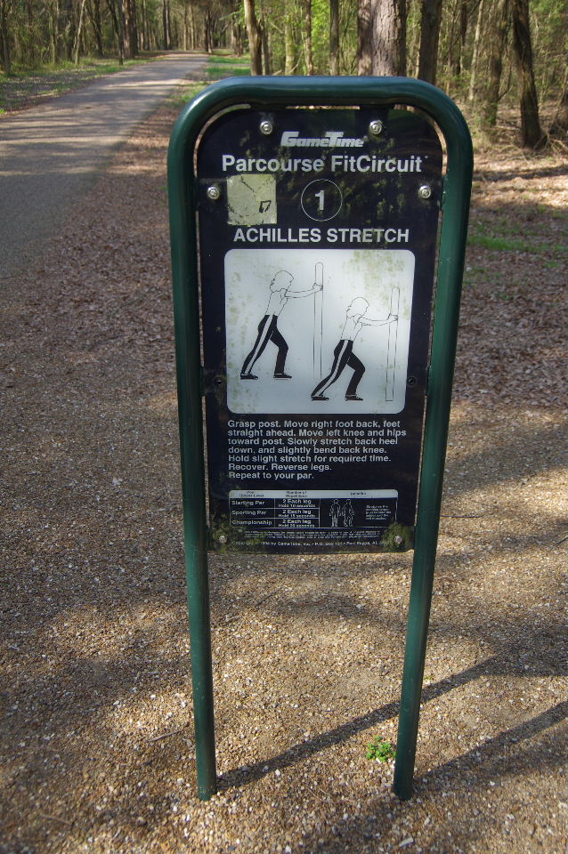
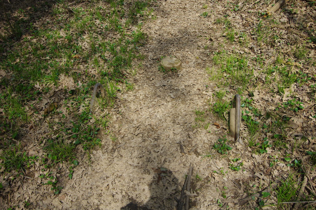
Parcourse #1
35.30521°, 93.14784°
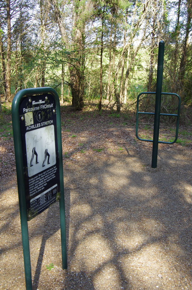
Parcourse #1
(Achilles Stretch)
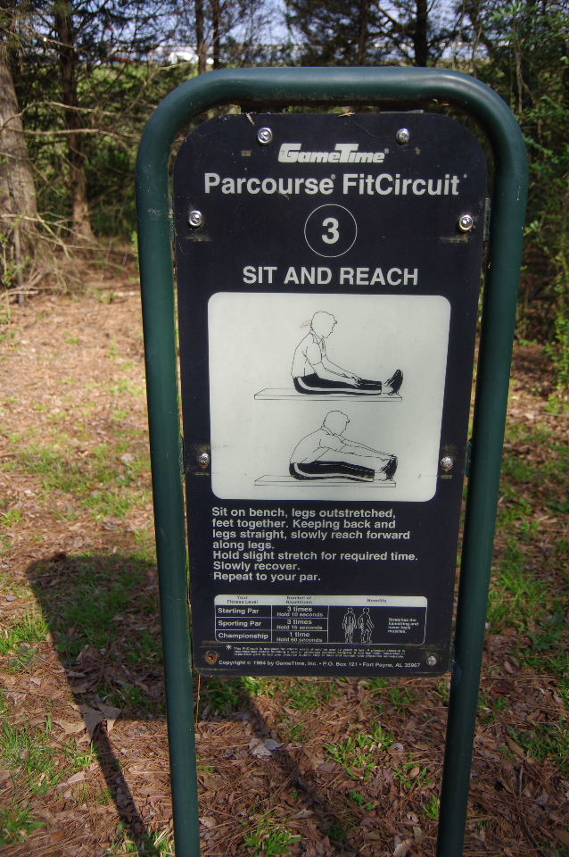
Parcourse #3
35.30503°, 93.14830°
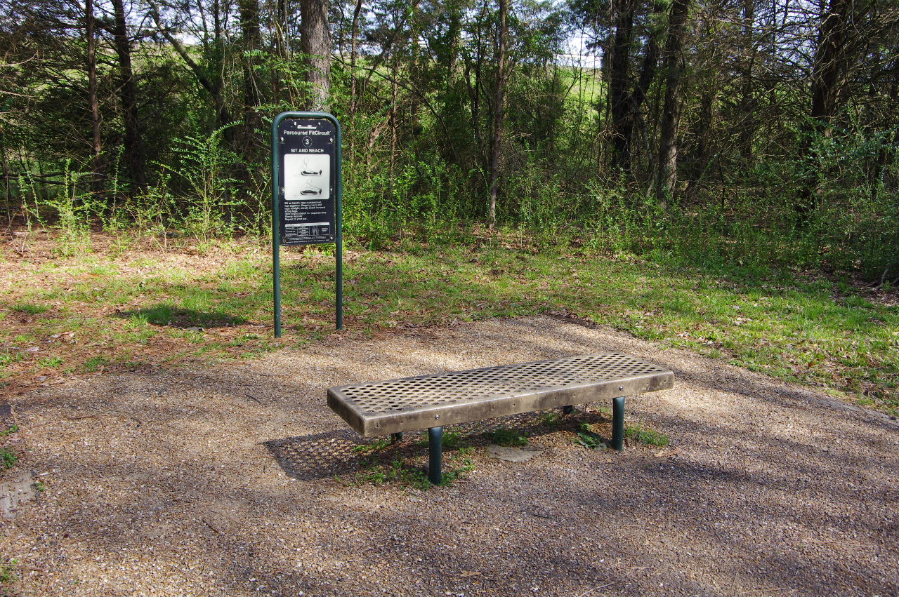
Parcourse #3
(Sit and Reach)
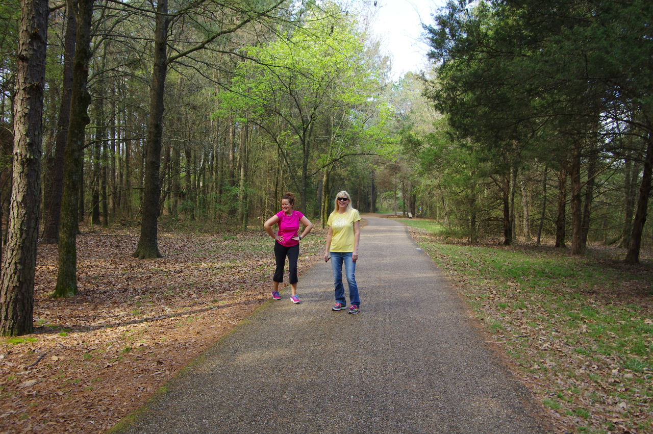
Paula and Teresa walking the Serendipity
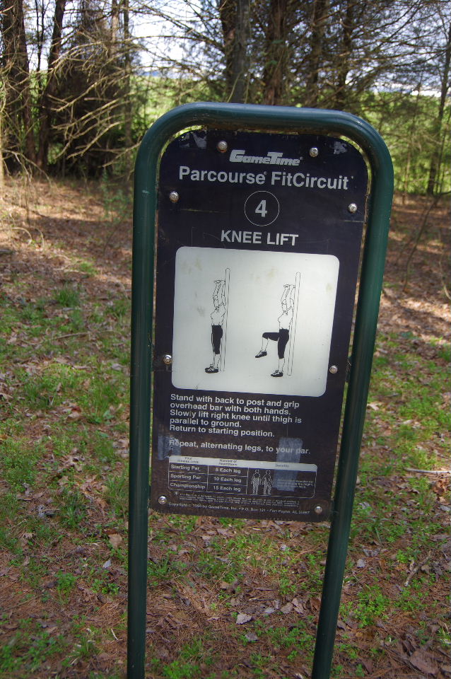
Parcourse #4
35.30479°, 93.14880°
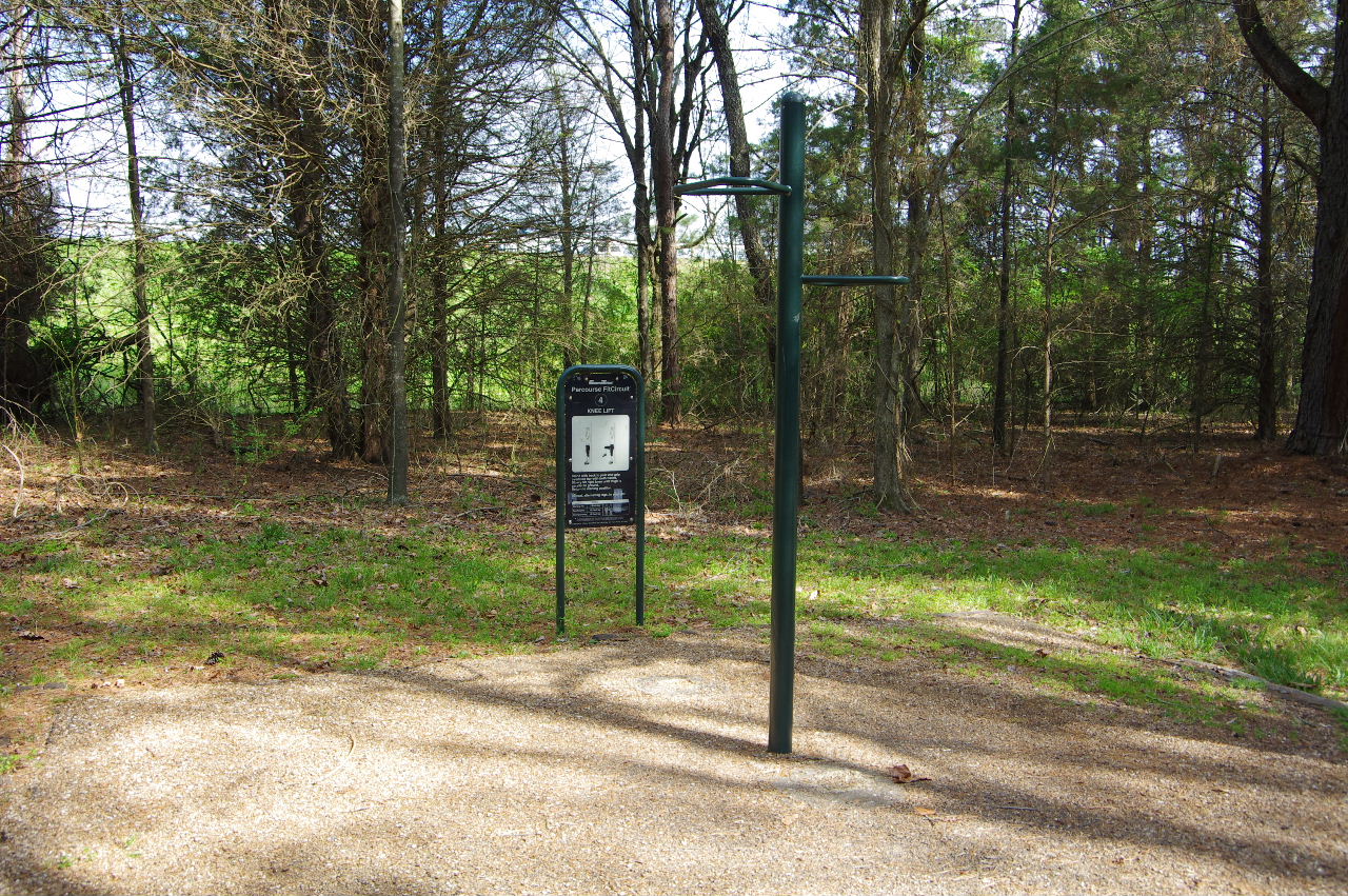
Parcourse #4
(Knee Lift)
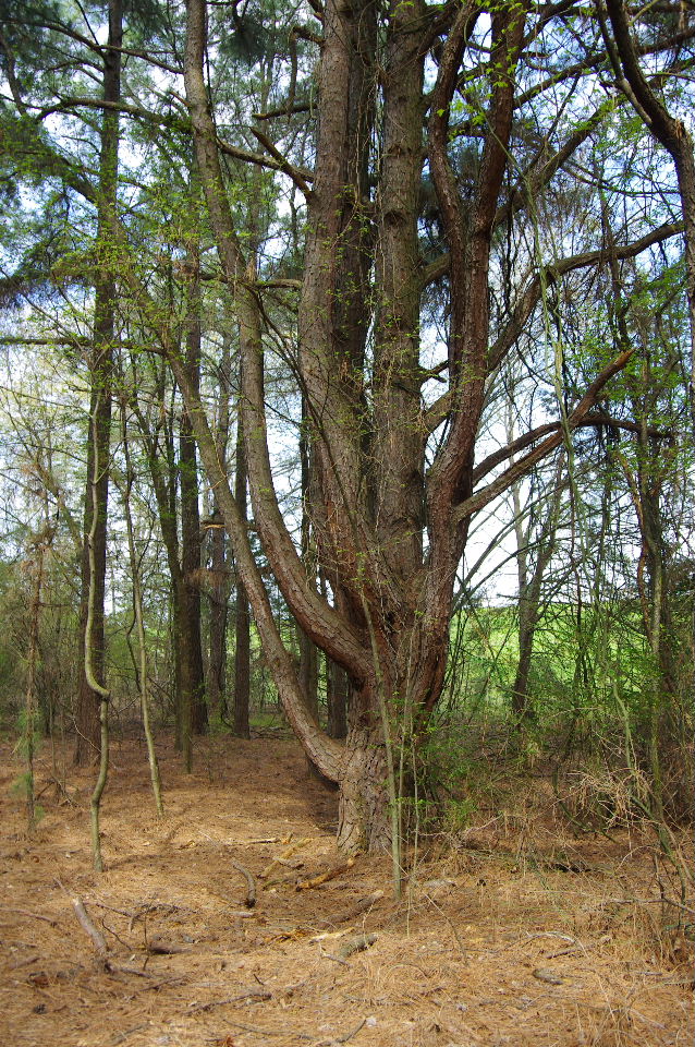
Multi-Trunk Pine
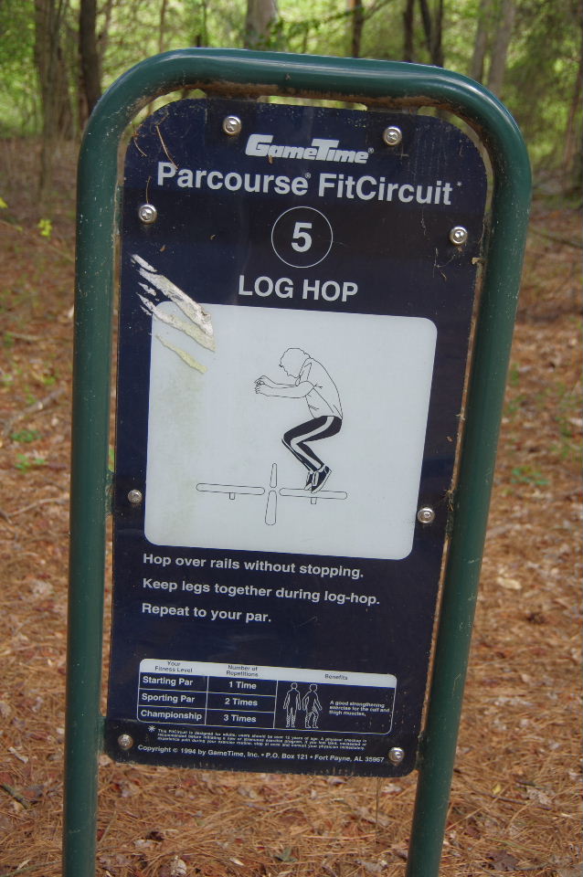
Parcourse #5
35.30459°, 93.14935°
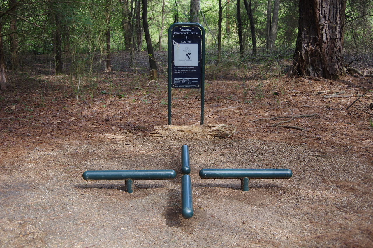
Parcourse #5
(Leg Hop)
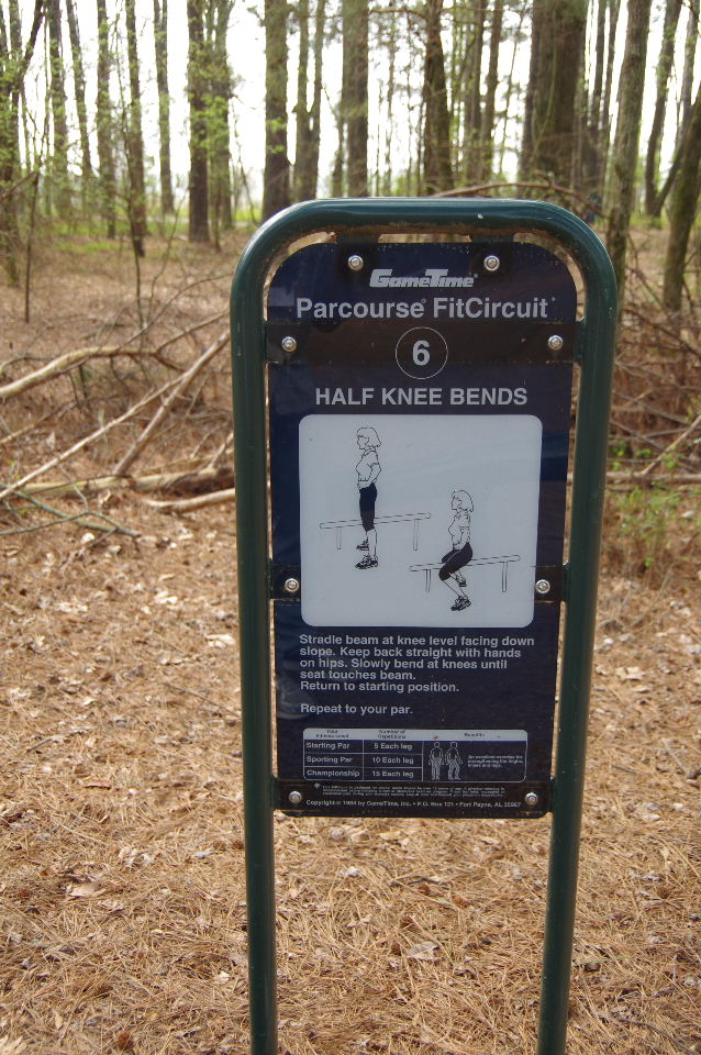
Parcourse #6
35.30425°, 93.14992°
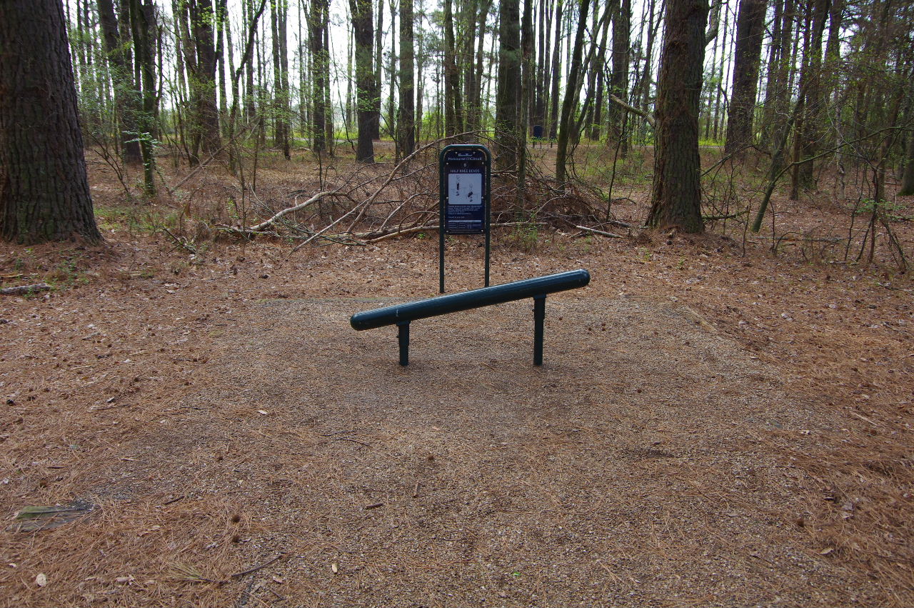
Parcourse #6
(Half Knee Bends)
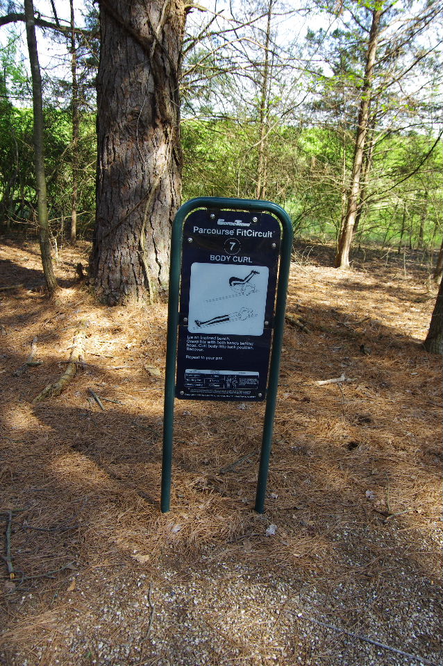
Parcourse #7
35.30412°, 93.15097°
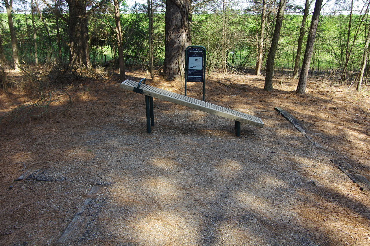
Parcourse #7
(Body Curl)
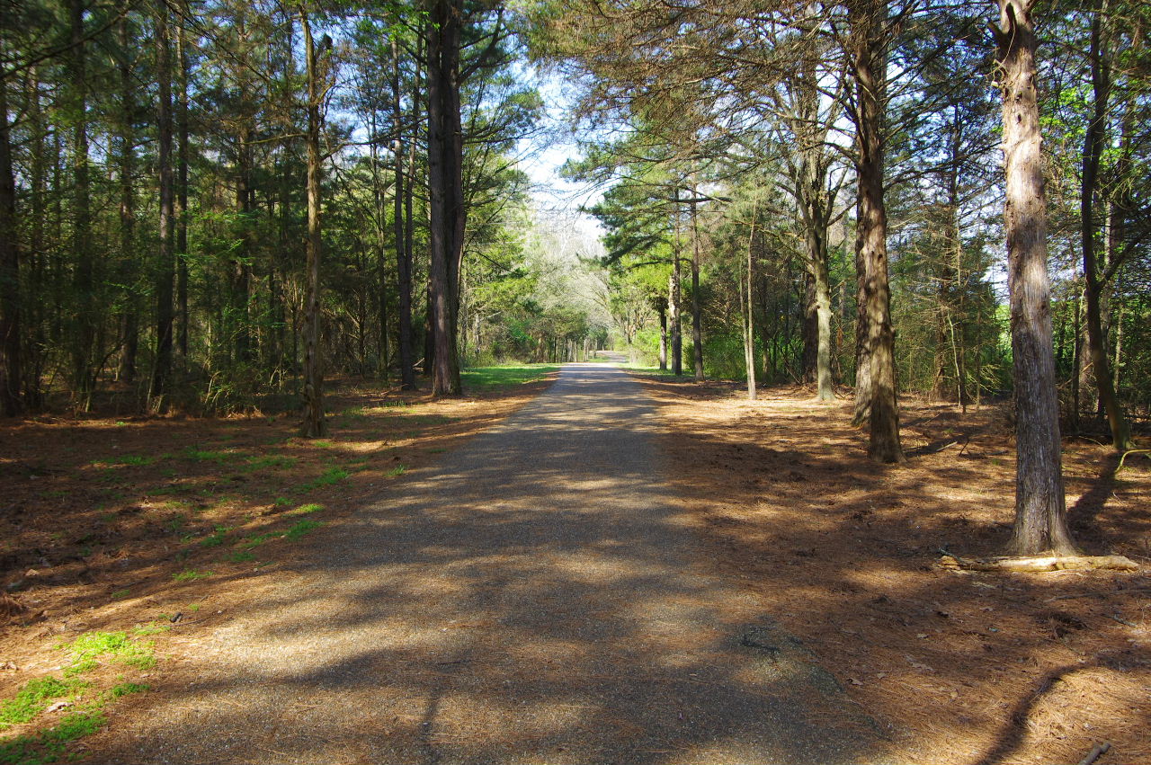
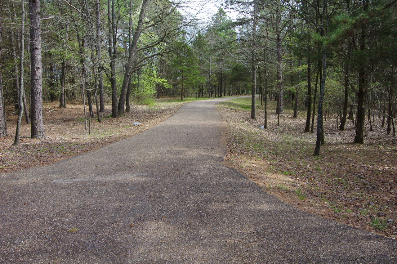
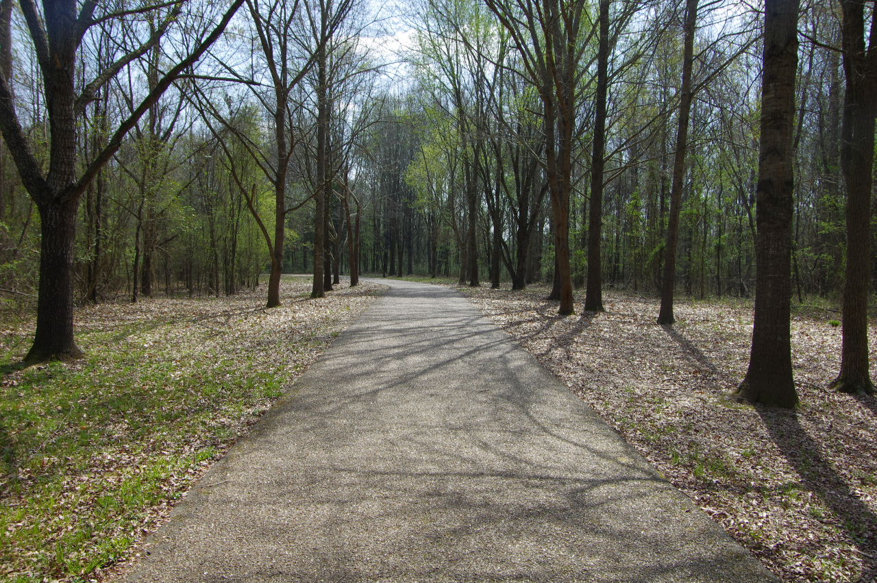
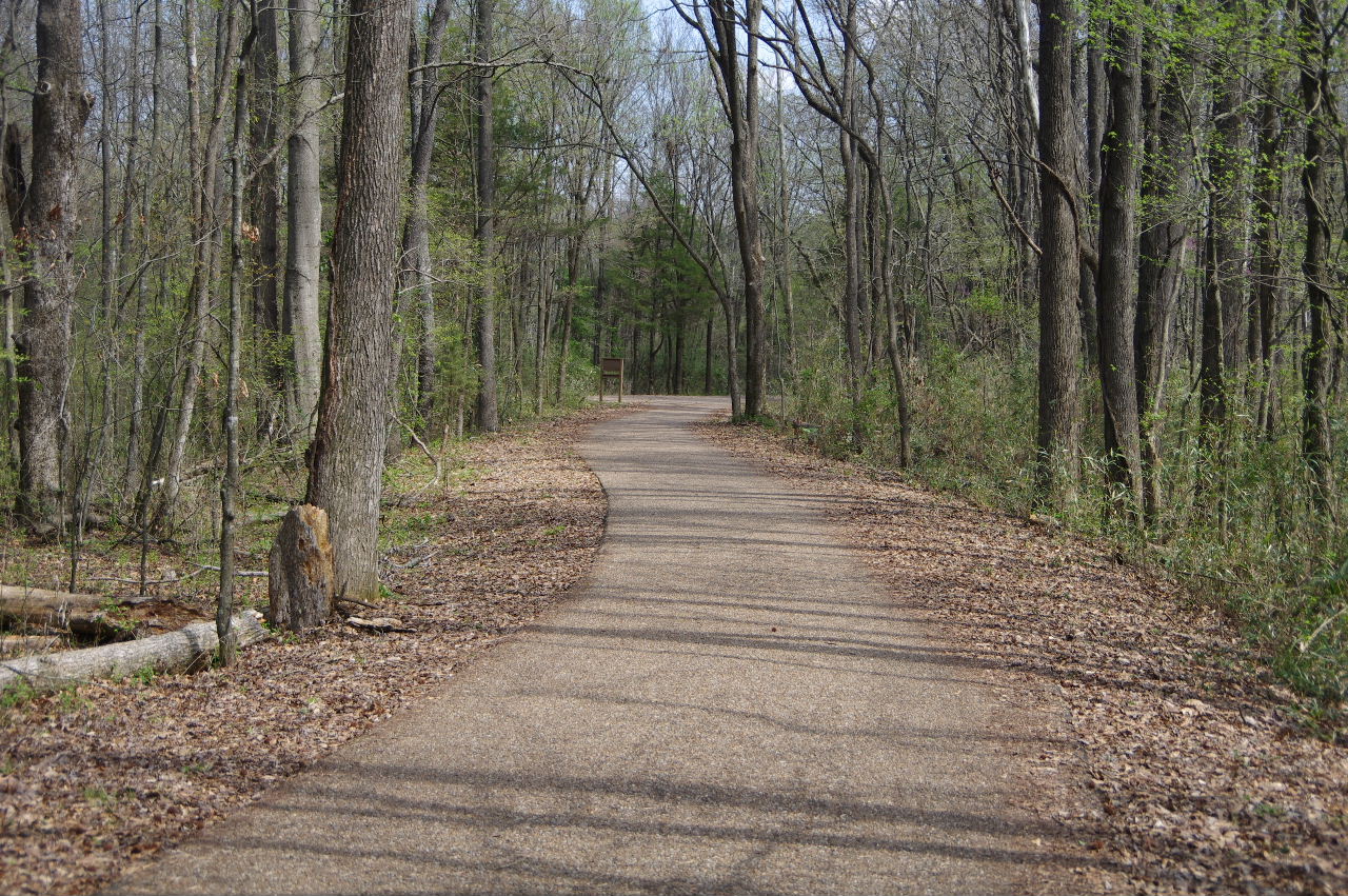
Continuing west on outside Serendipity Trail
.JPG)
Mr. Squirrel
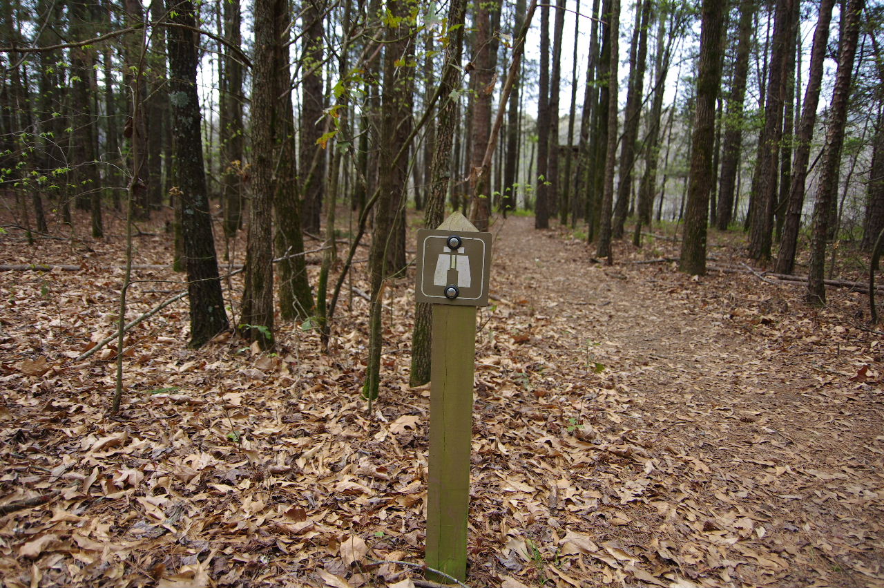
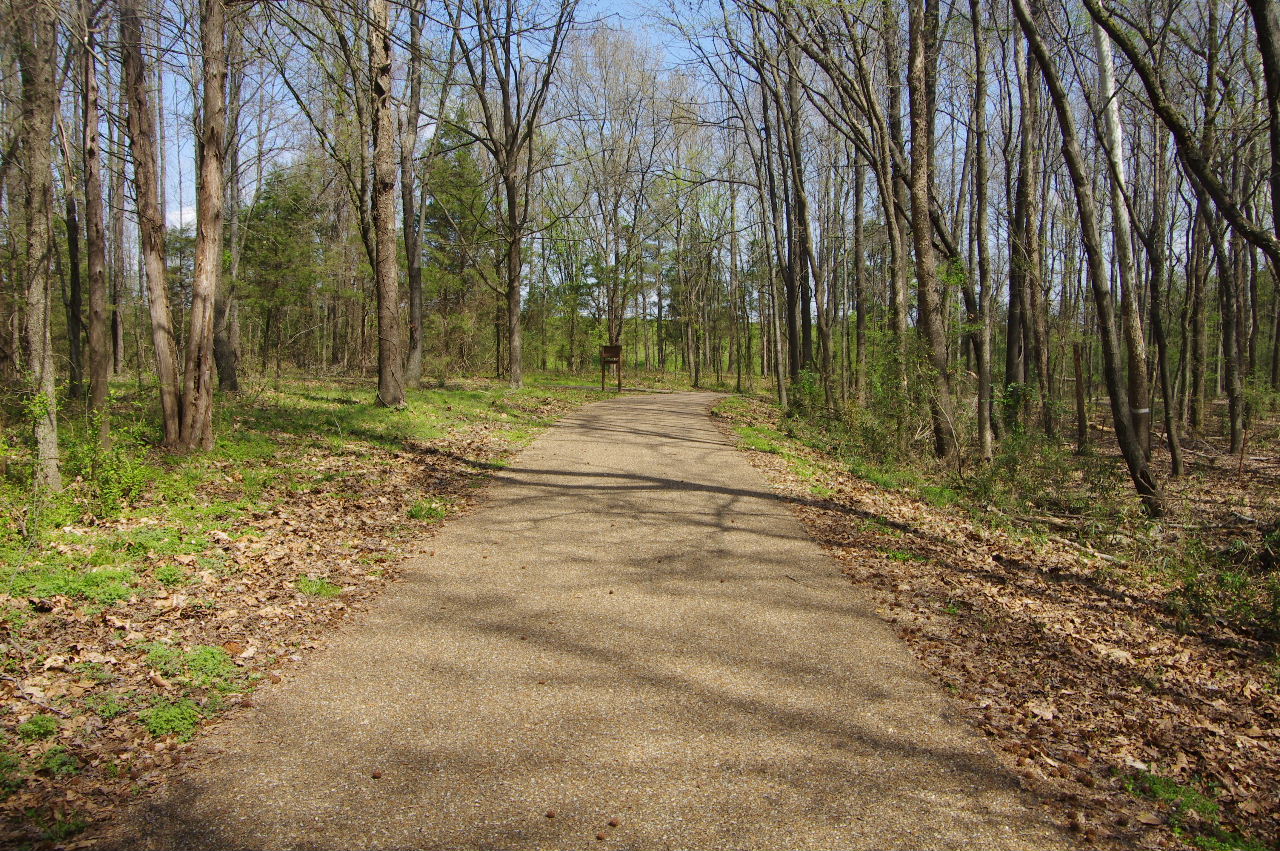
Approaching the Rabbit Run Trail
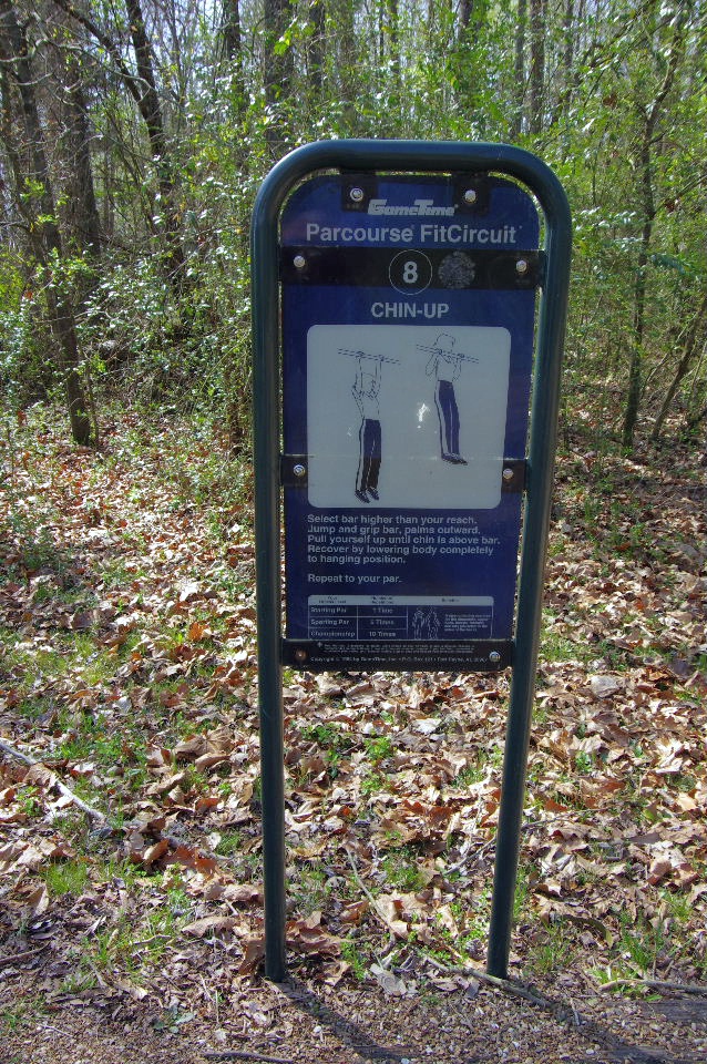
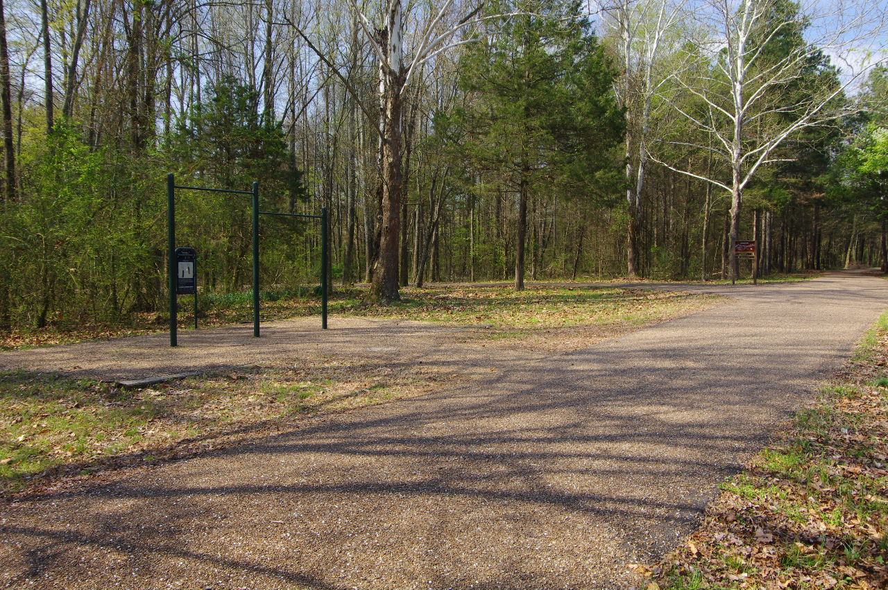
Parcourse #8
35.30377°, 93.15347°
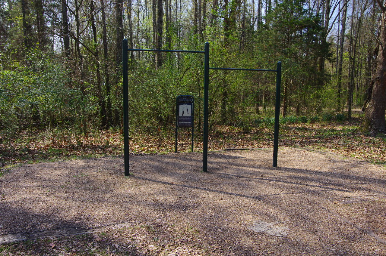
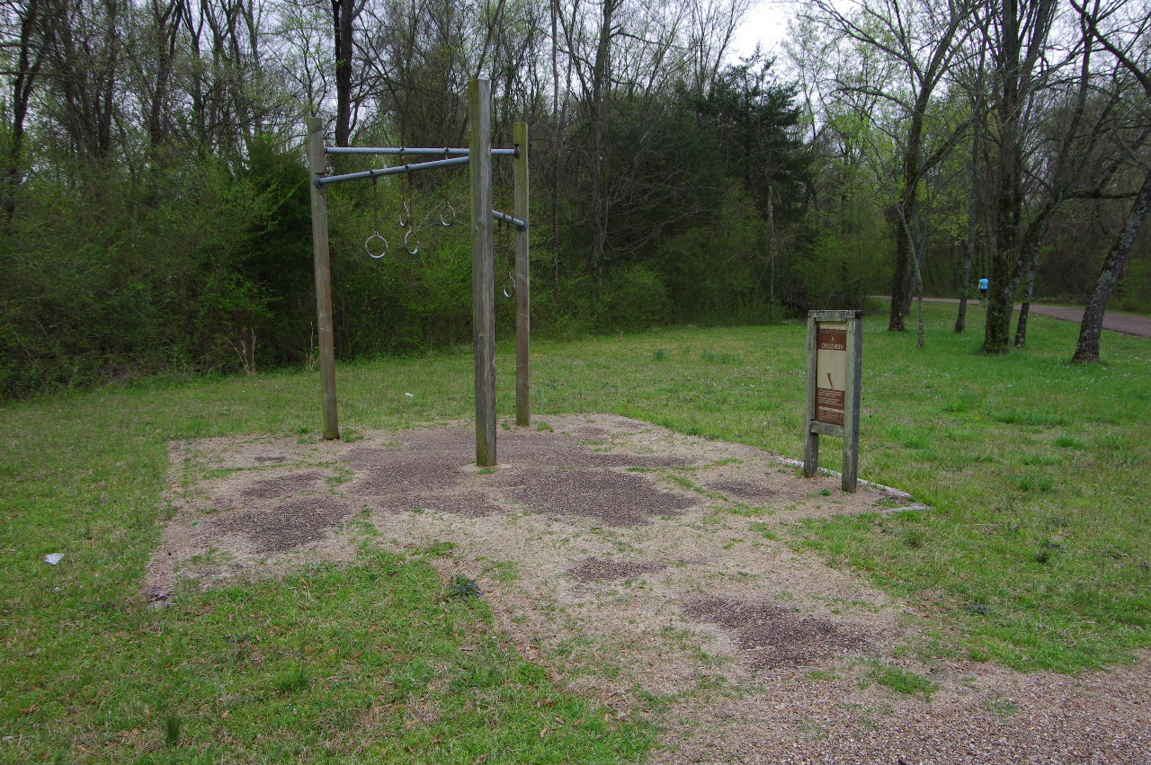
Parcourse #8
(Chin-Up)
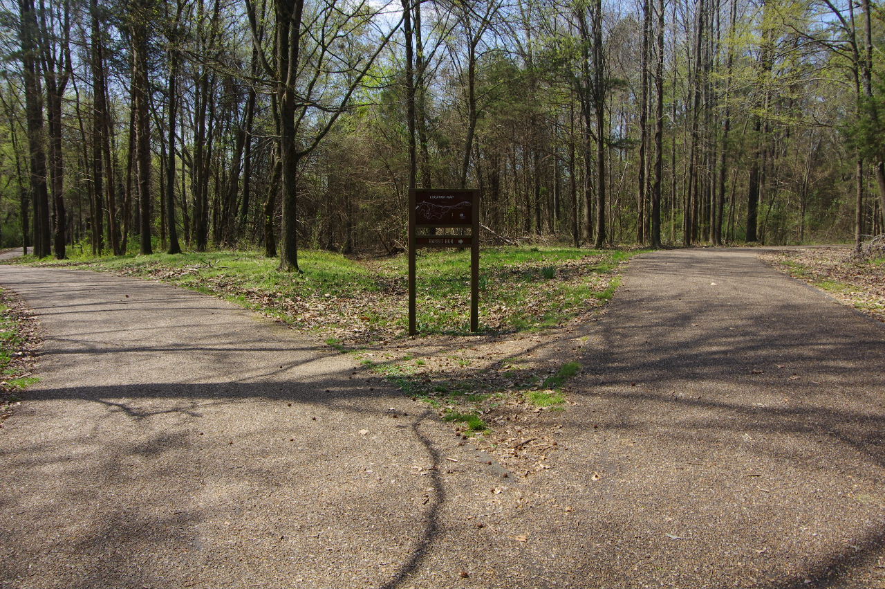
Entrance to the Rabbit Run Trail 1.0 miles
35.30383°, 93.15362°
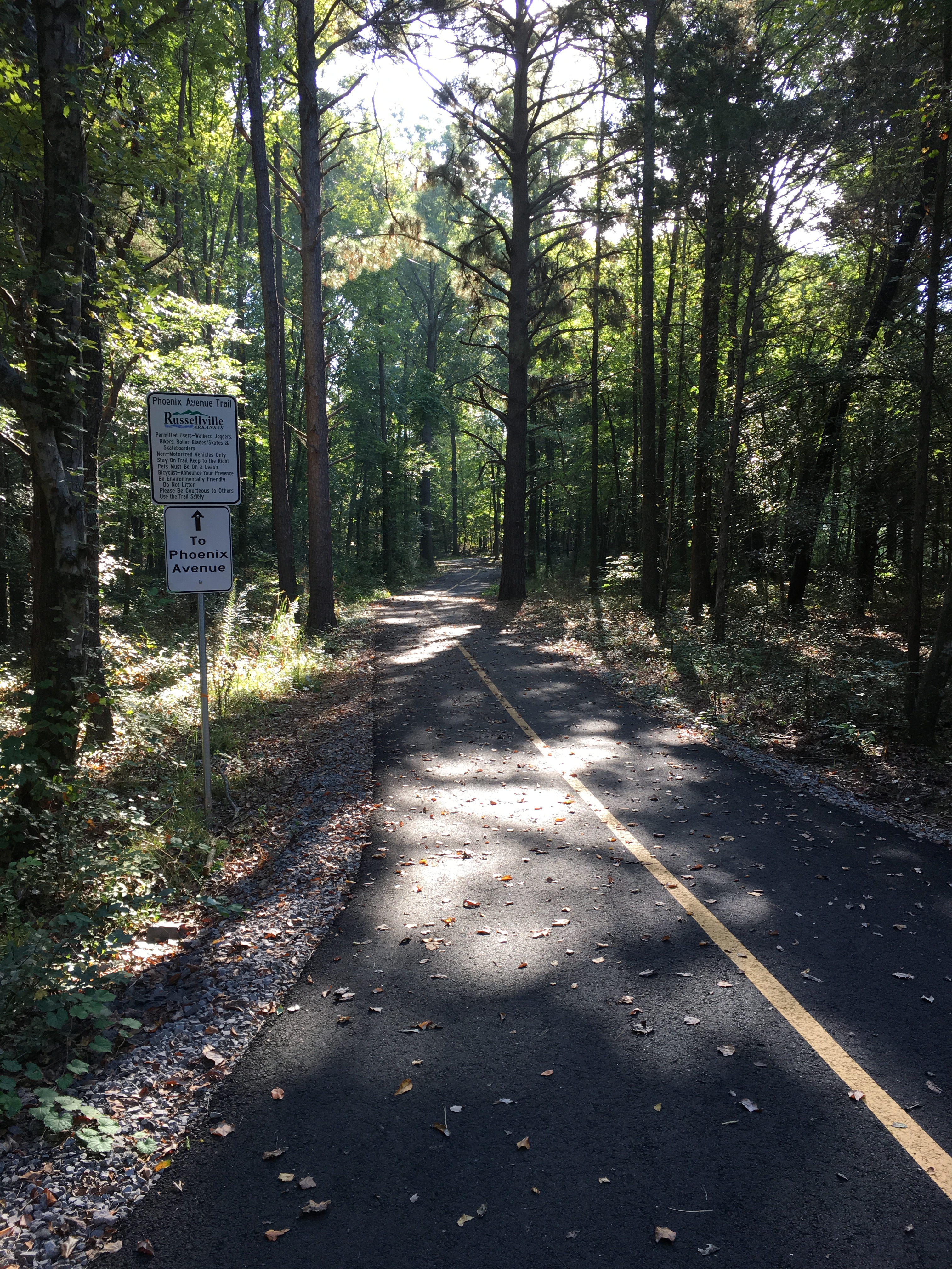
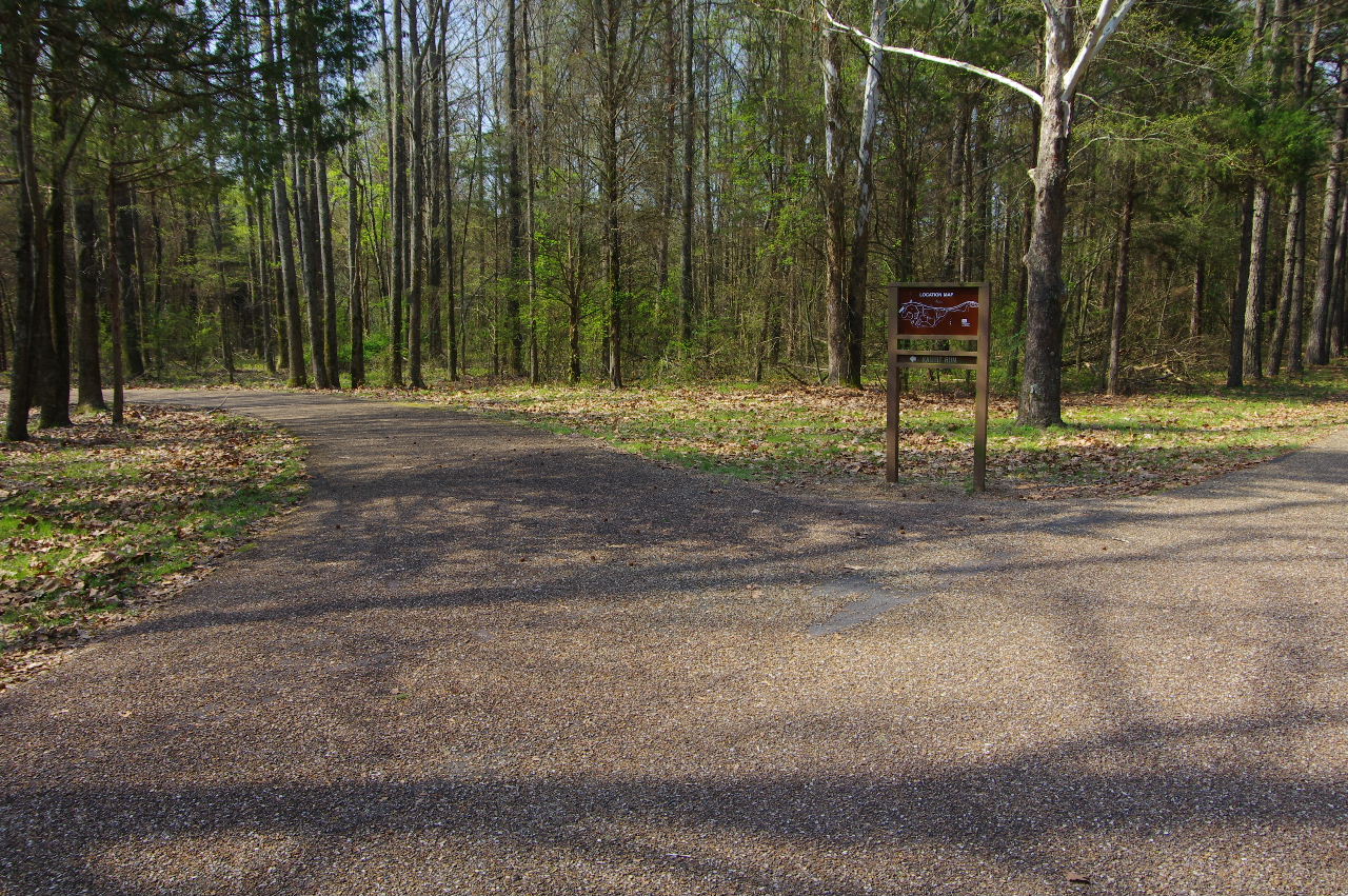
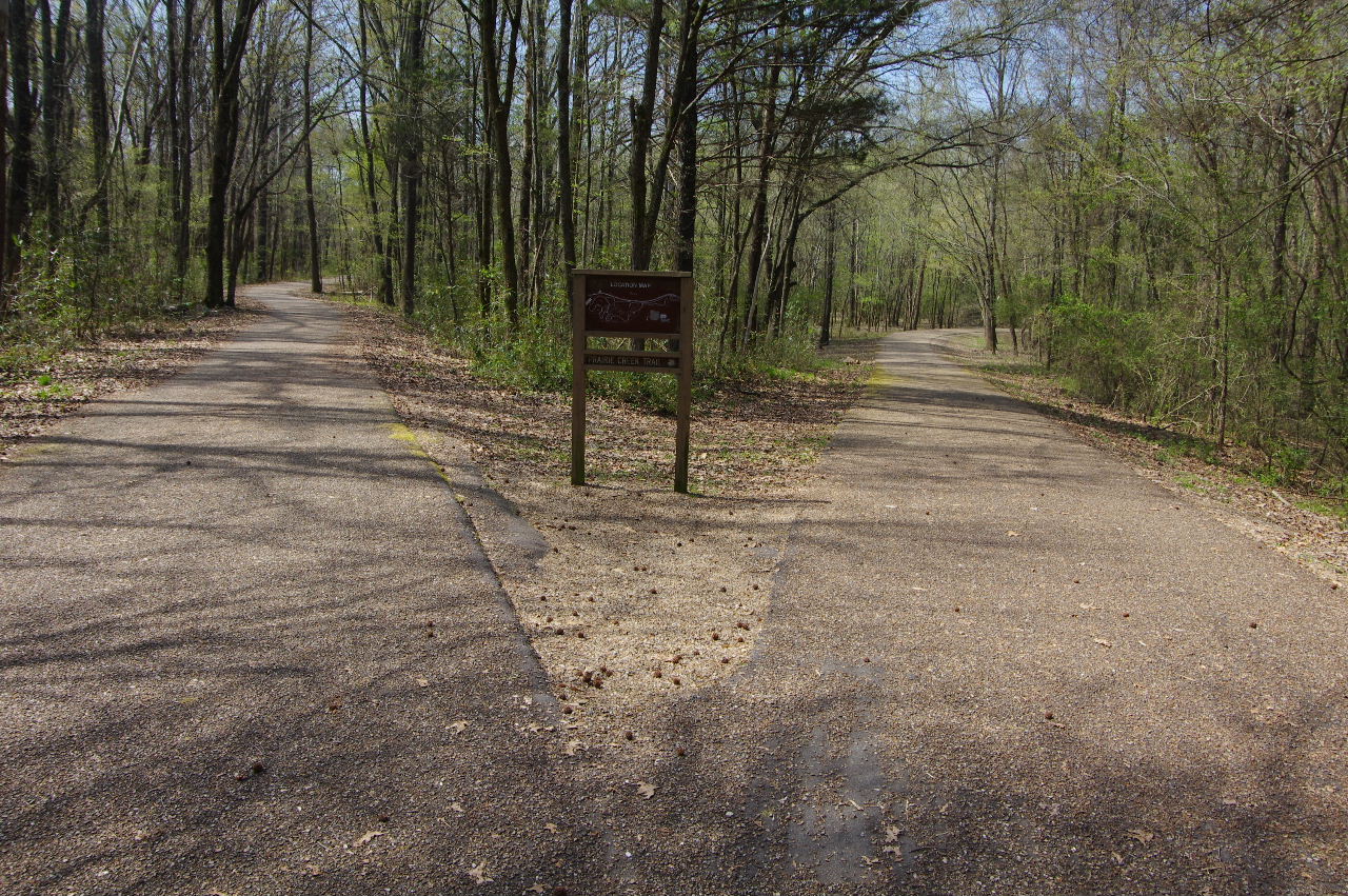
New Phoenix Trail Intersection
35.30389°, 93.14722°
Next to Prairie Creek Trail
Approaching Prairie Creek Trail
and Pumping Statiobn
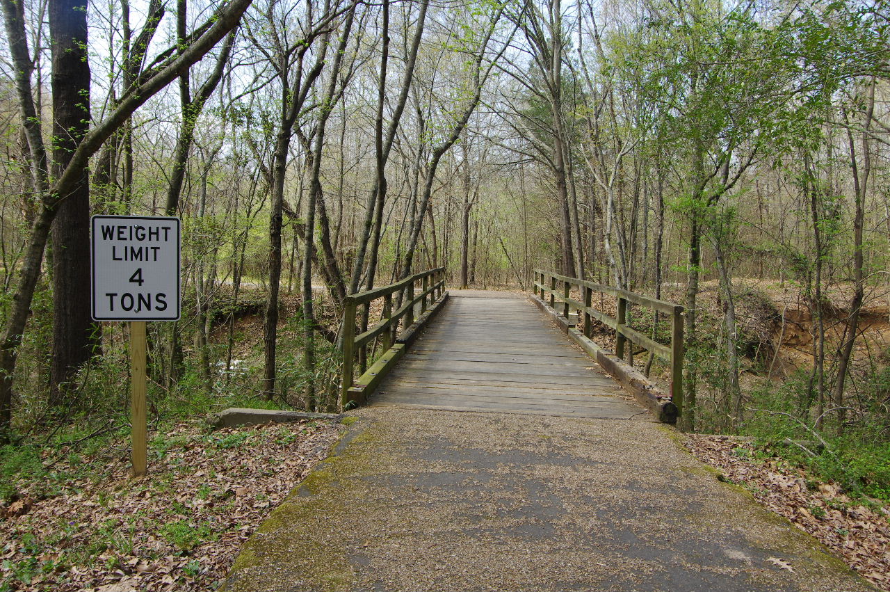
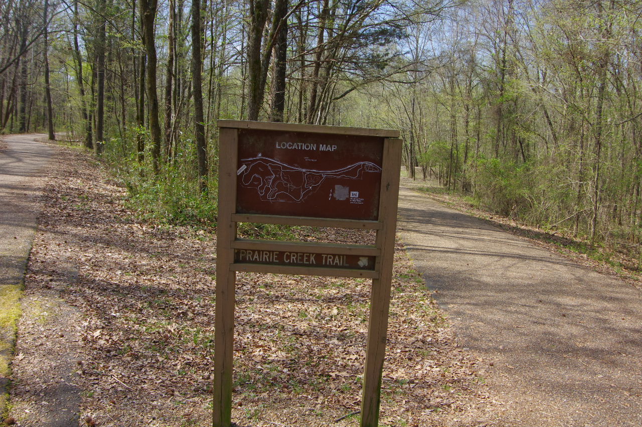
Prairie Creek Trial 1.5 miles
35.30381°, 93.15597°
(Fitness Circuit #8 and Solar Light in background)
Fitness Circuit #8 Circle Body
35.30357°, 93.15647°
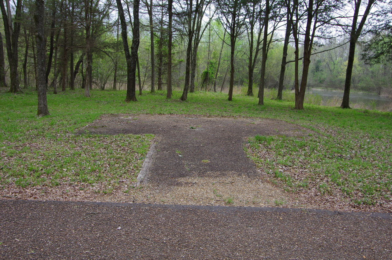
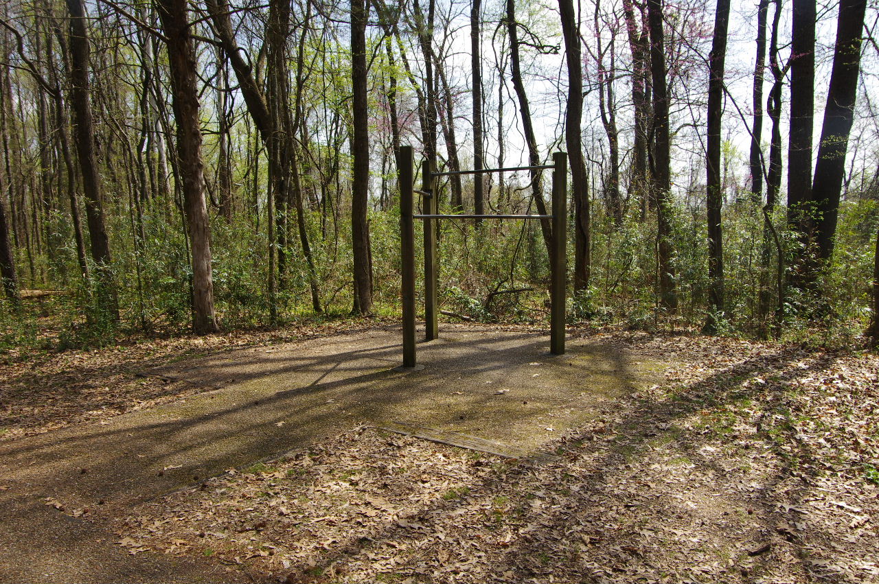
Abandoned Fitness Site on Prairie Creek Trail
35.30269°, 93.15629°
(Close to Bullfrog Pond west entrance)

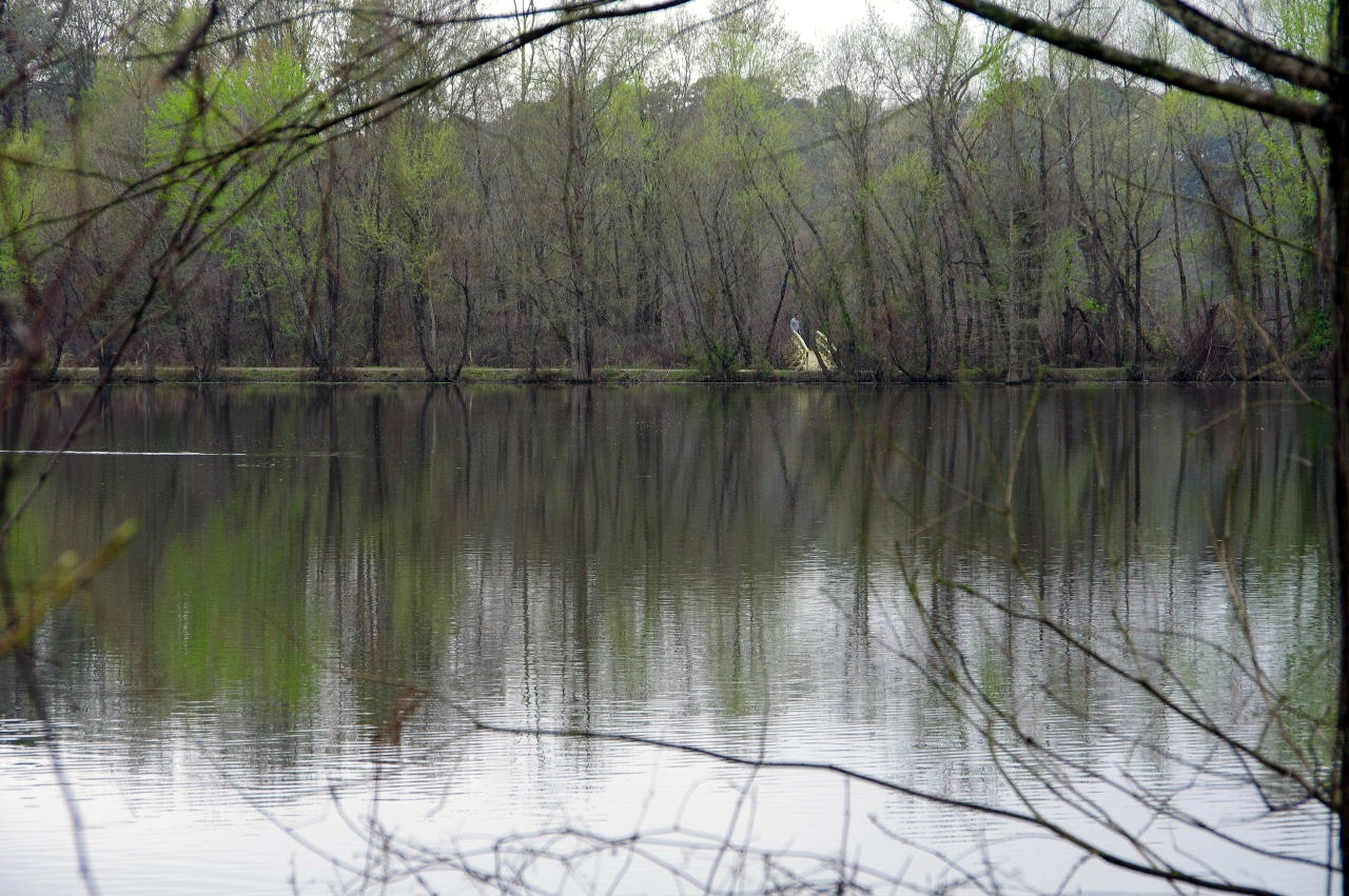
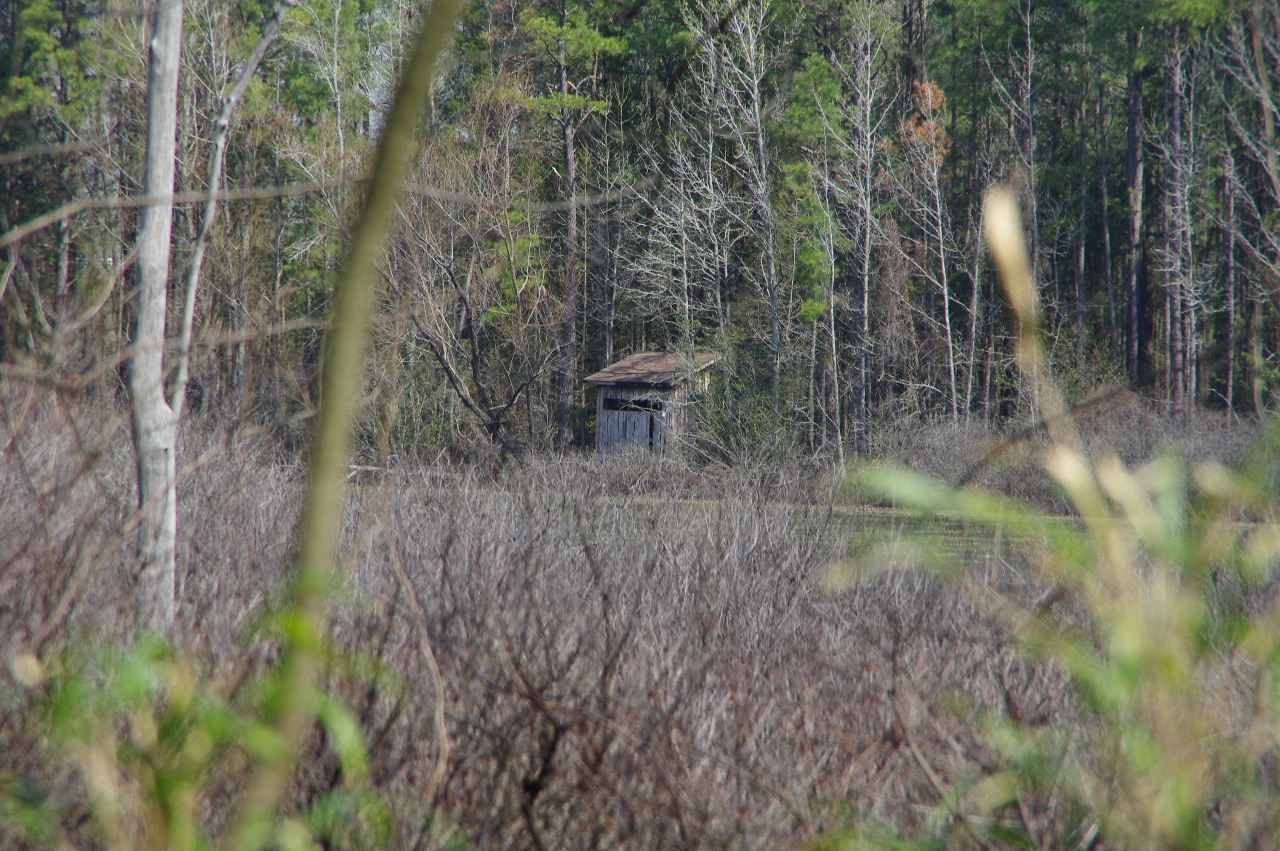
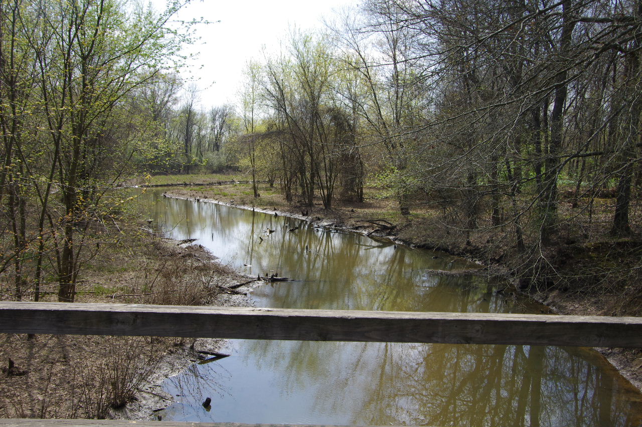
Prairie Creek Pumping Station
35.30403°, 93.15702°
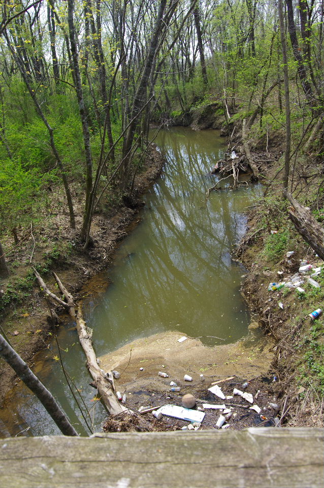
(Looking south down Prairie Creek)

Normal trash accumulation
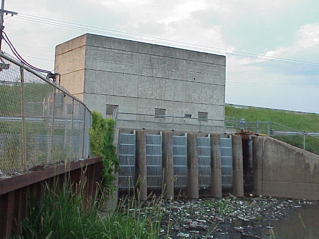
Prairie Creek Pumping Station (Pic by John Lee)

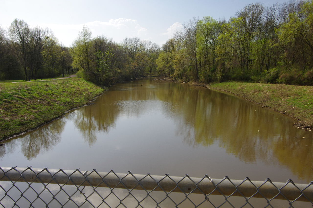
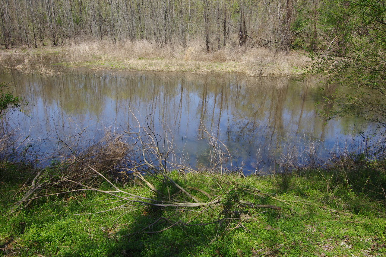
Prairie Creek at full level
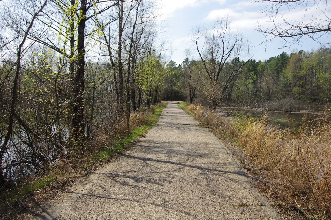
Heading west on Serendipity Trail from
Prairie Creek Pumping Station
Intersection of Serendipity Trail and new road
access to pumping station. (looking west)
35.30412°, 93.15796°
Approaching Swinging Bridge Trail
Swinging Bridge Trail looking south
Swinging Bridge Trail
35.30366°, 93.16063°
(This trail is CLOSED at bridge.)

Swinging Bridge Trail heading south.
North end Swinging Bridge
From Swinging Bridge Trail looking west
across Willow Pond at Beaver Dam Bridge.
.JPG)
A log full of turtles
Approaching Walden Way Trail
Intersection of Serendipity Trail and
Walden Way Trail
35.30411°, 93.16323°
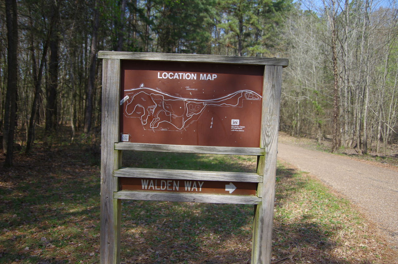
Walden Way Trail 2.7 miles
(Looking south)
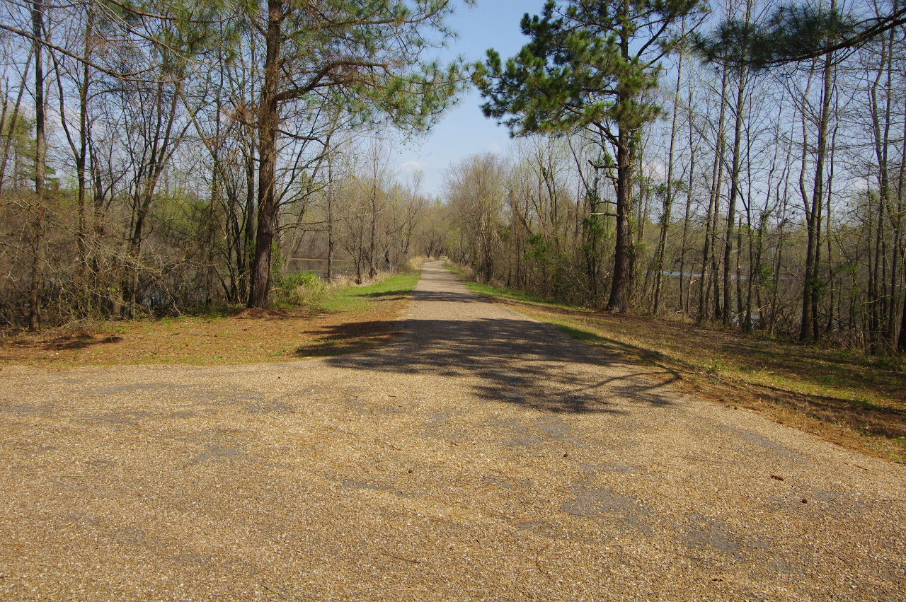
Serendipity Trail looking north
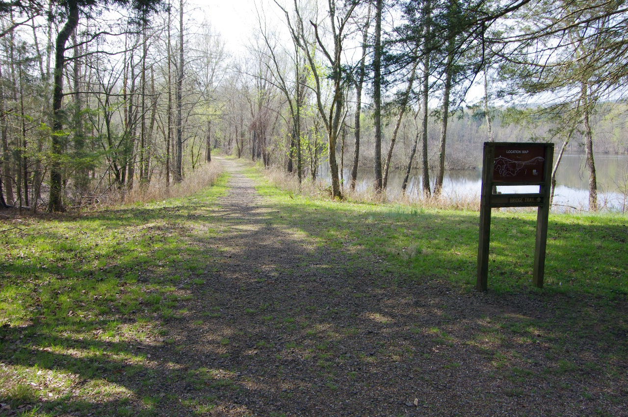
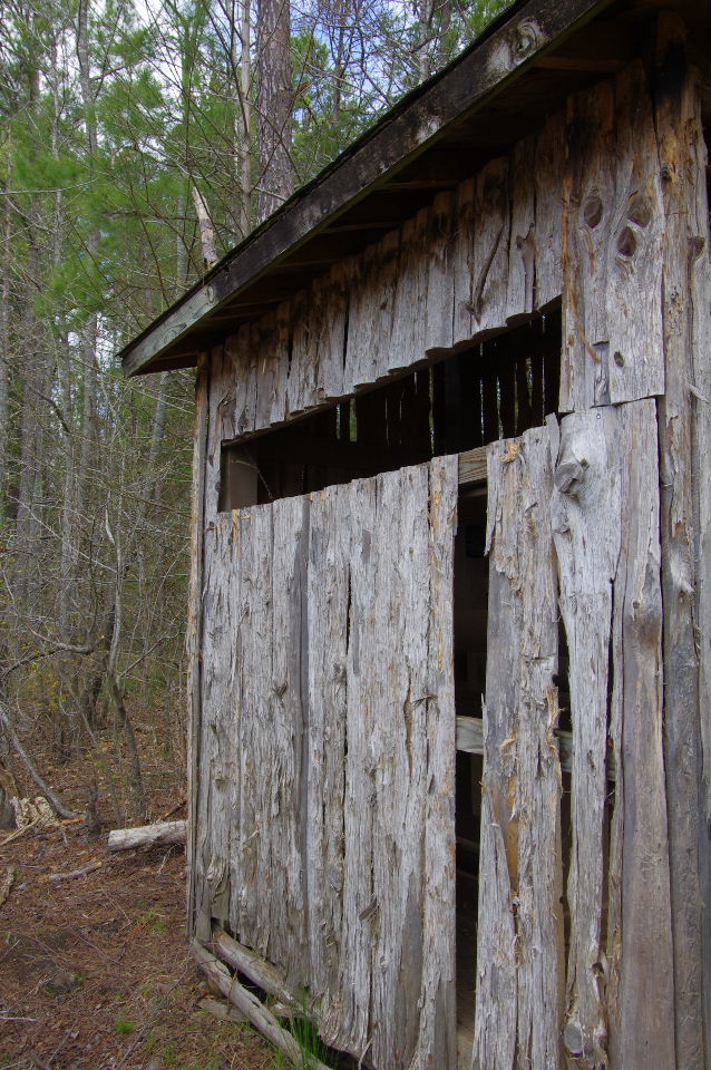
Entrance to Wildlife Viewing Station
35.30453°, 93.16397°
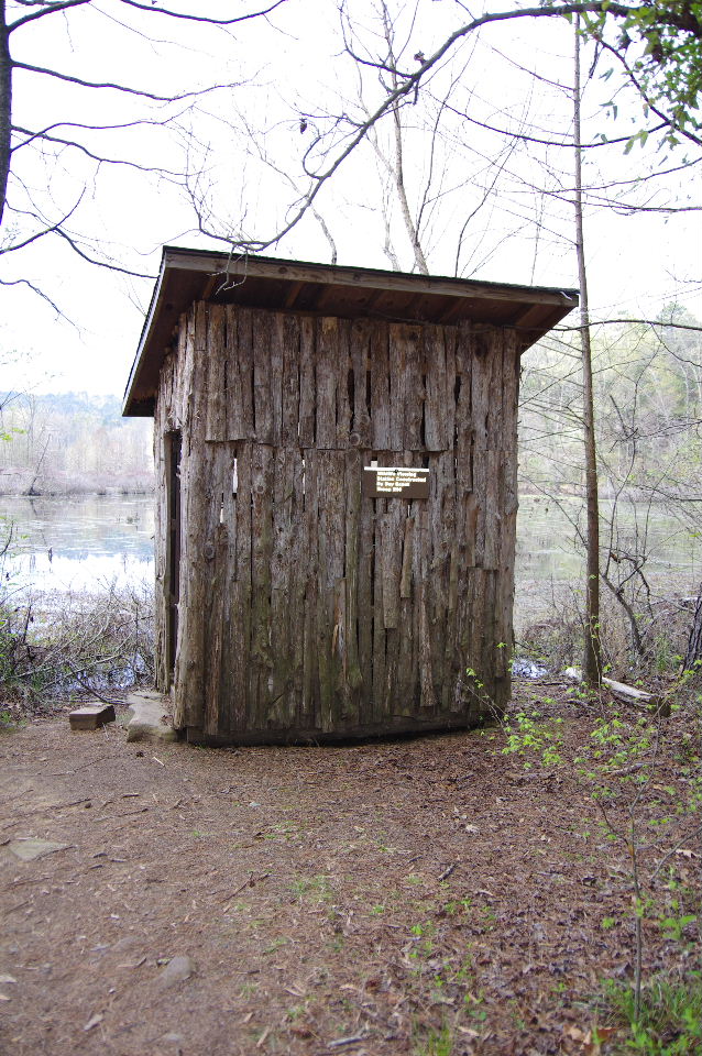
Wildlife Viewing Station
35.30442°, 93.16430°
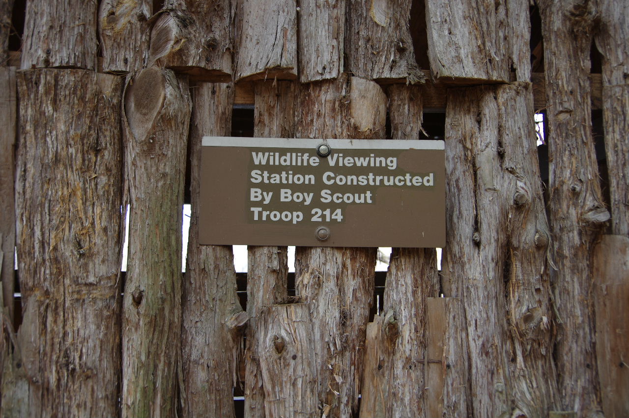
Wildlife Viewing Station constructed by
Boy Scout Troop 214
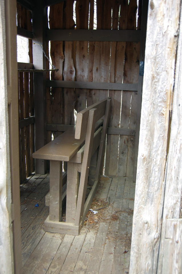
Looking inside at viewing bench
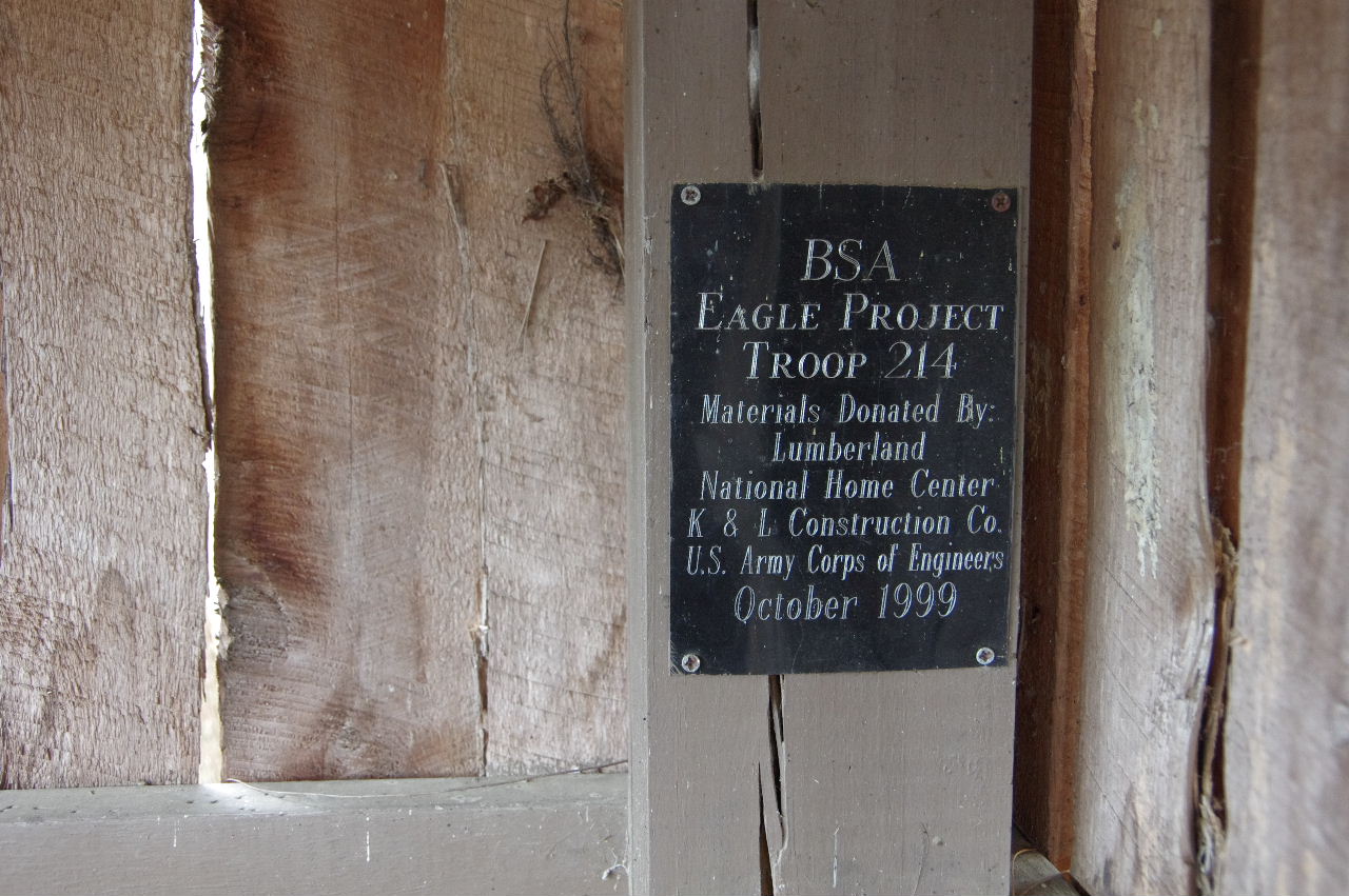
Plaque inside: BSA Eagle Project Troop 214
Materials donated by Lumberland, National Home
Center, K & L Construction Co. and U.S. Army
Corps of Engineers, October, 1999
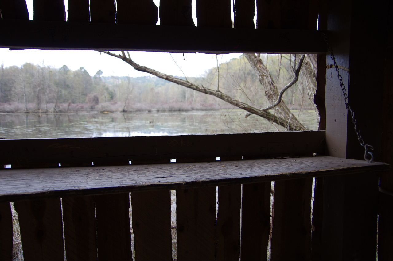
Inside view looking out
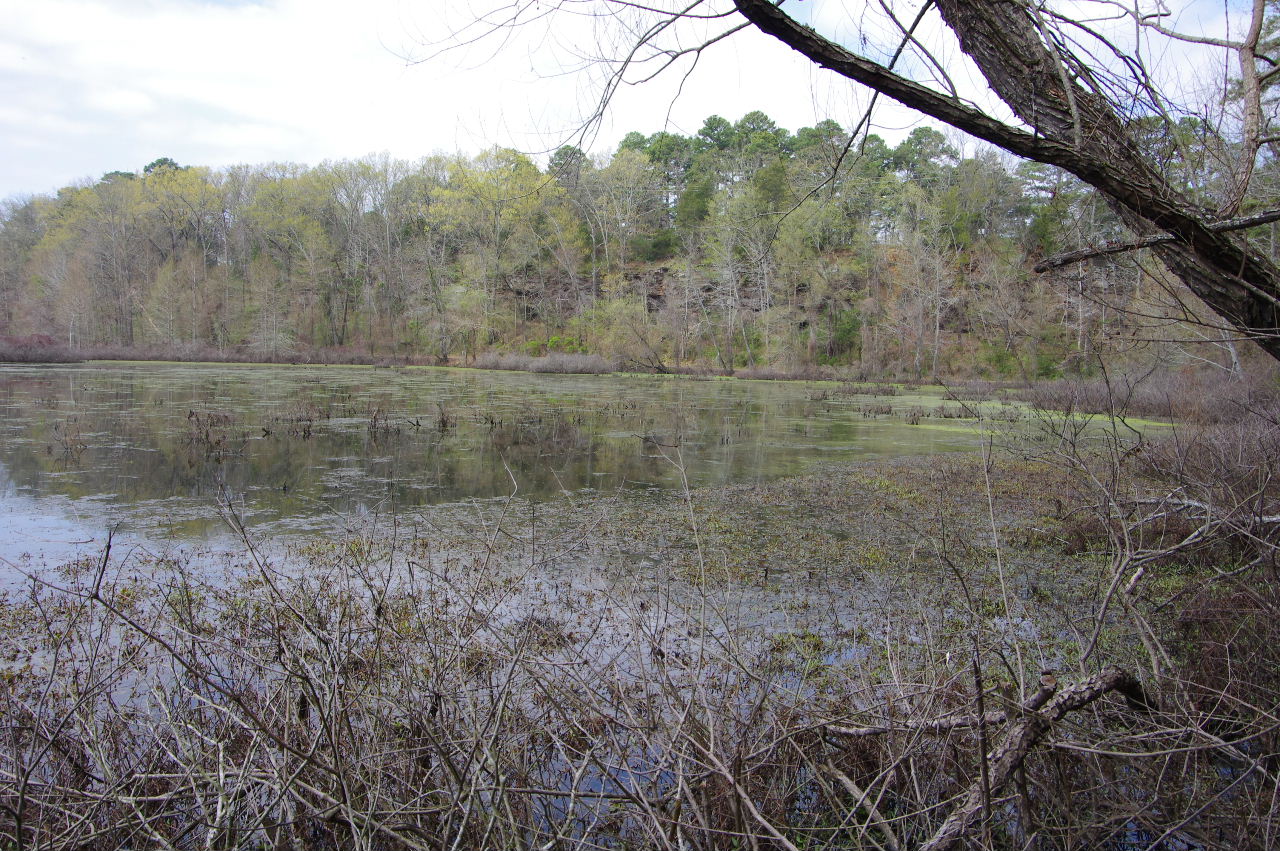
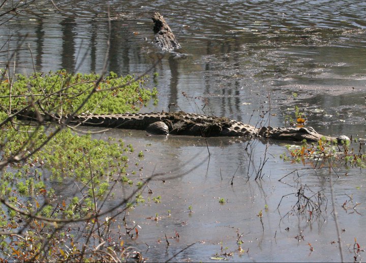
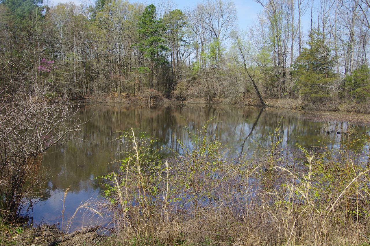
Black Water Swamp where the alligator lives?
Viewing window
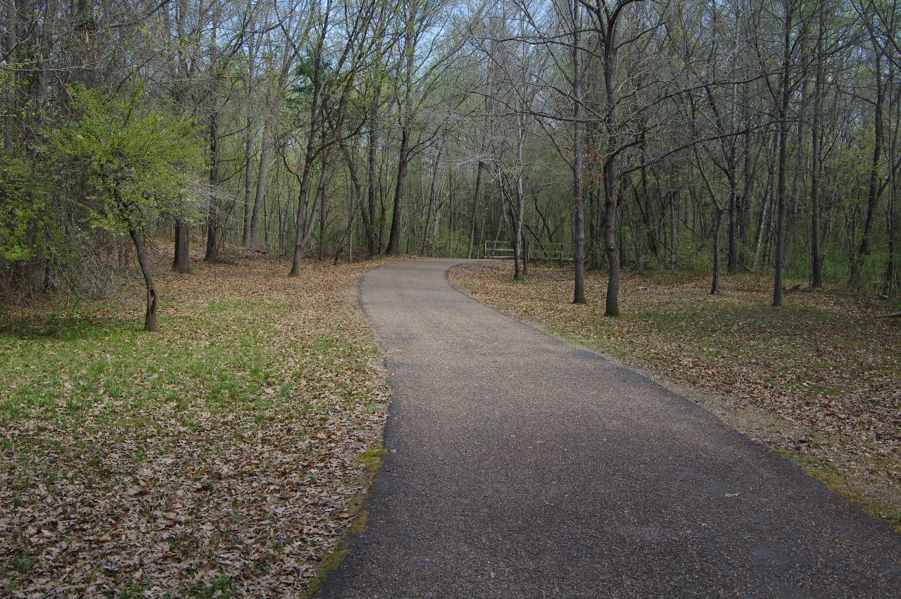
Continuing on around Serendipity Trail
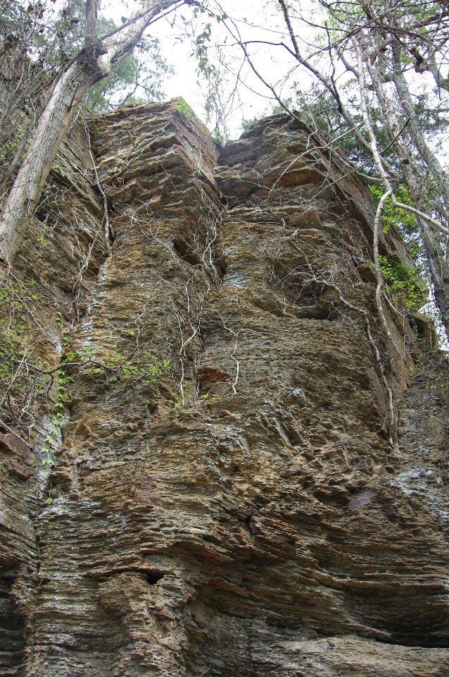
Bluffs next to Washburn Park
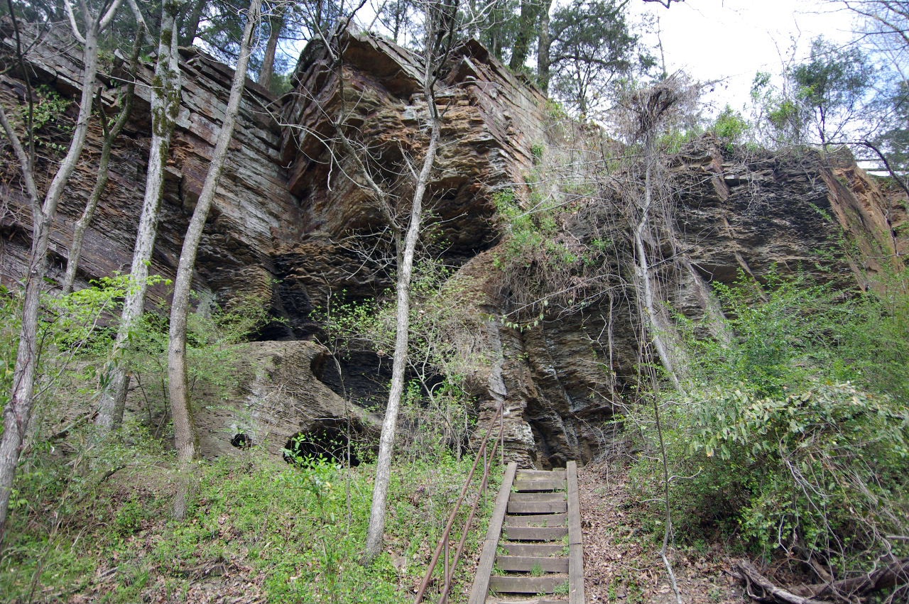
Stairs up to bluffs
35.30453°, 93.16575°
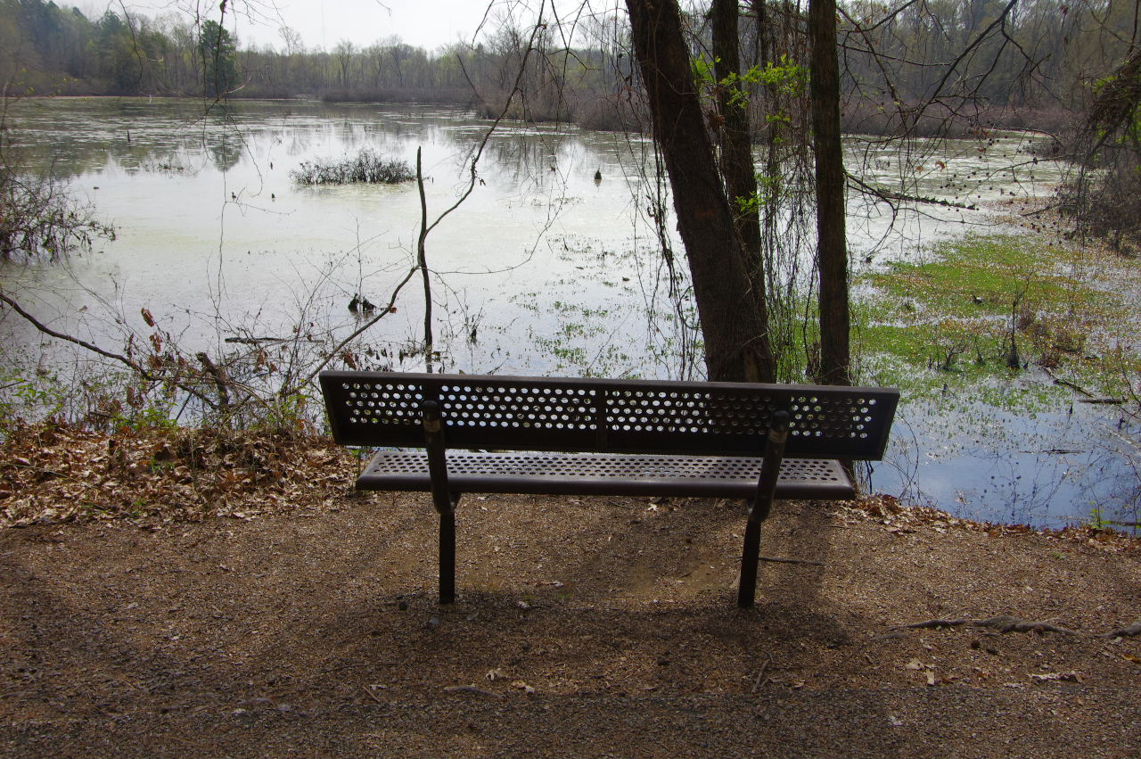
Bench where folks have been known to see
the alligator? Looking southeast across swamp.
35.30419°, 93.16598°
Pic by John Lee
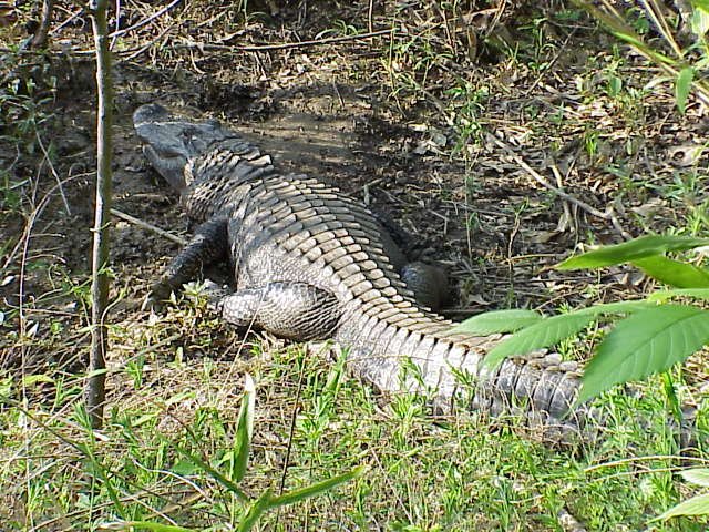
Pic by John Lee
Approaching intersection of Serendipity Trail
and access to parking area at Washburn Park
Intersection looking south along
Serendipity Trail
Intersection looking north up to Washburn Park
35.30244°, 93.16770°
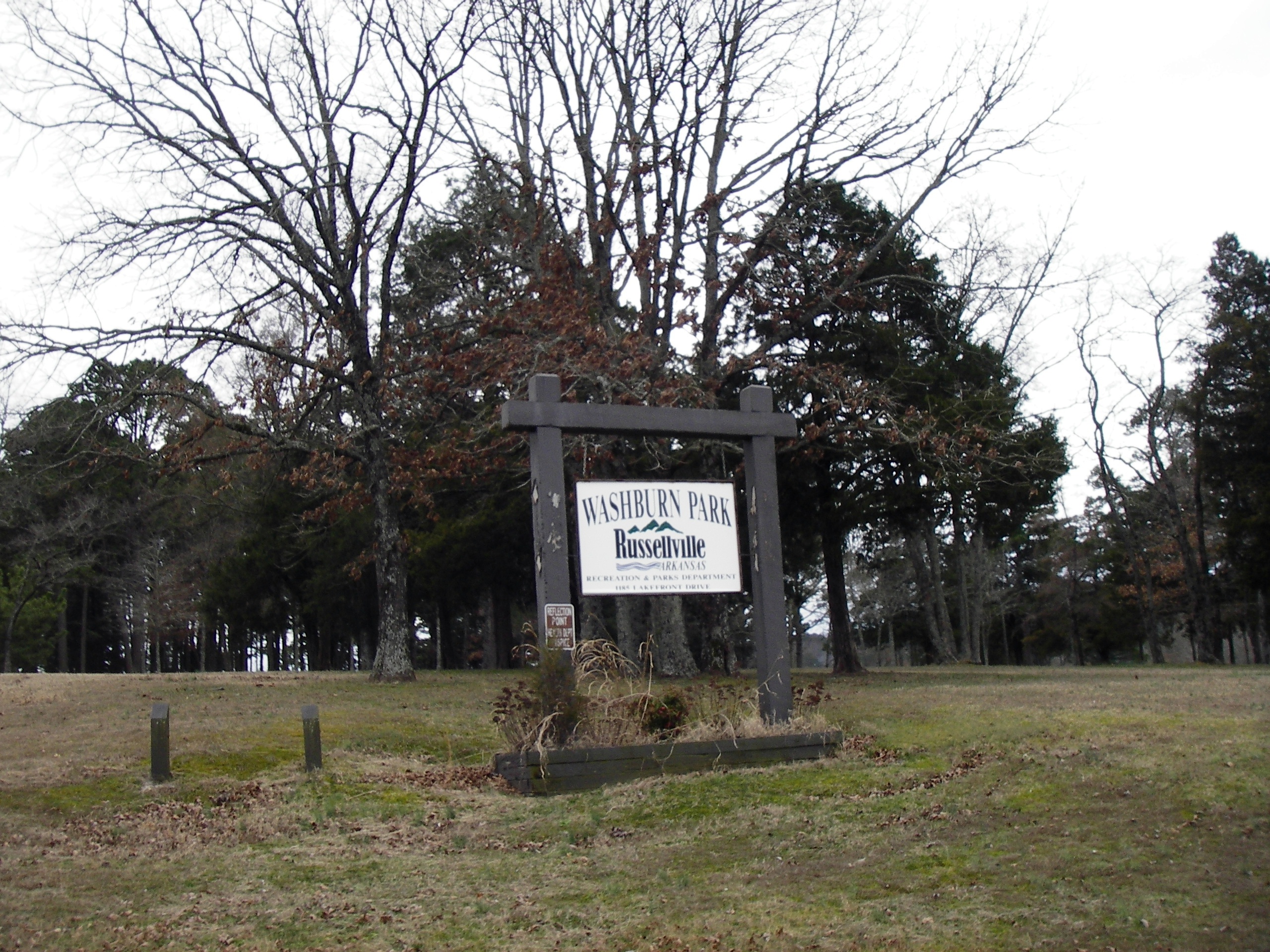
Washburn Park entrance on Lakefront Drive
West entrance to Bona Dea Trails
and to Washburn Park
Bathroom Facilities
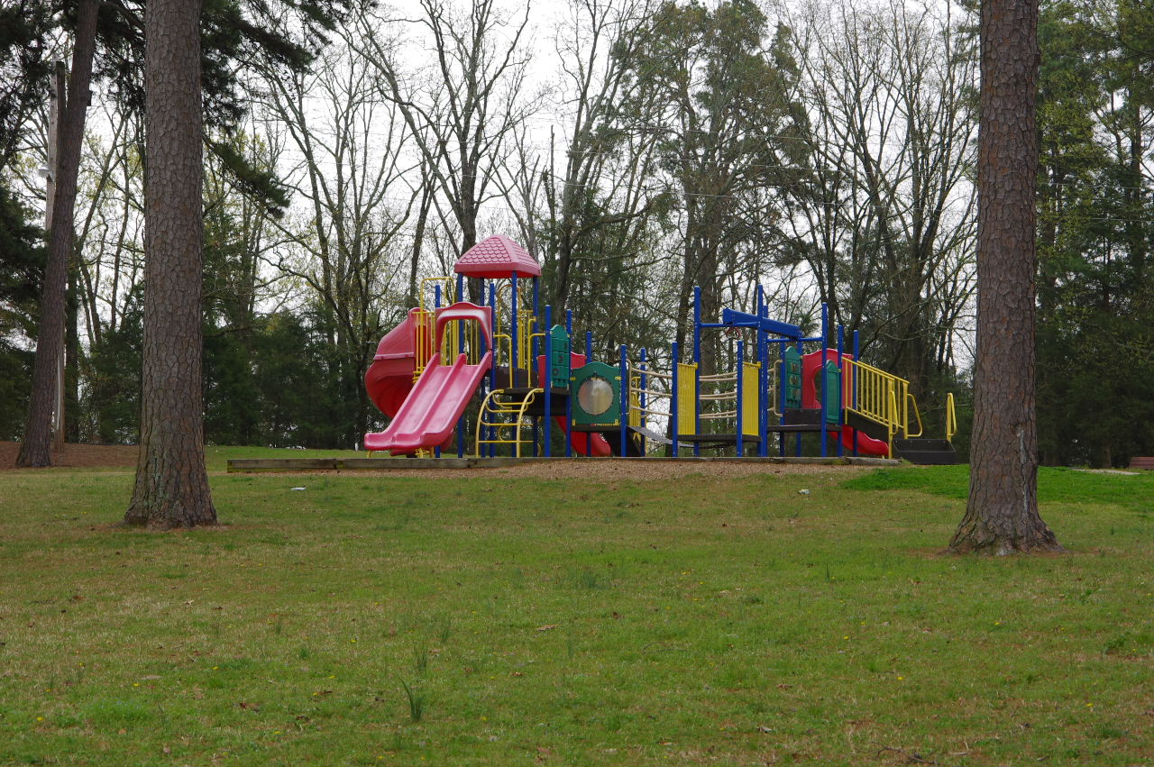
Playground Equipment
Pavilion
Playground Area Bench (Typ.)
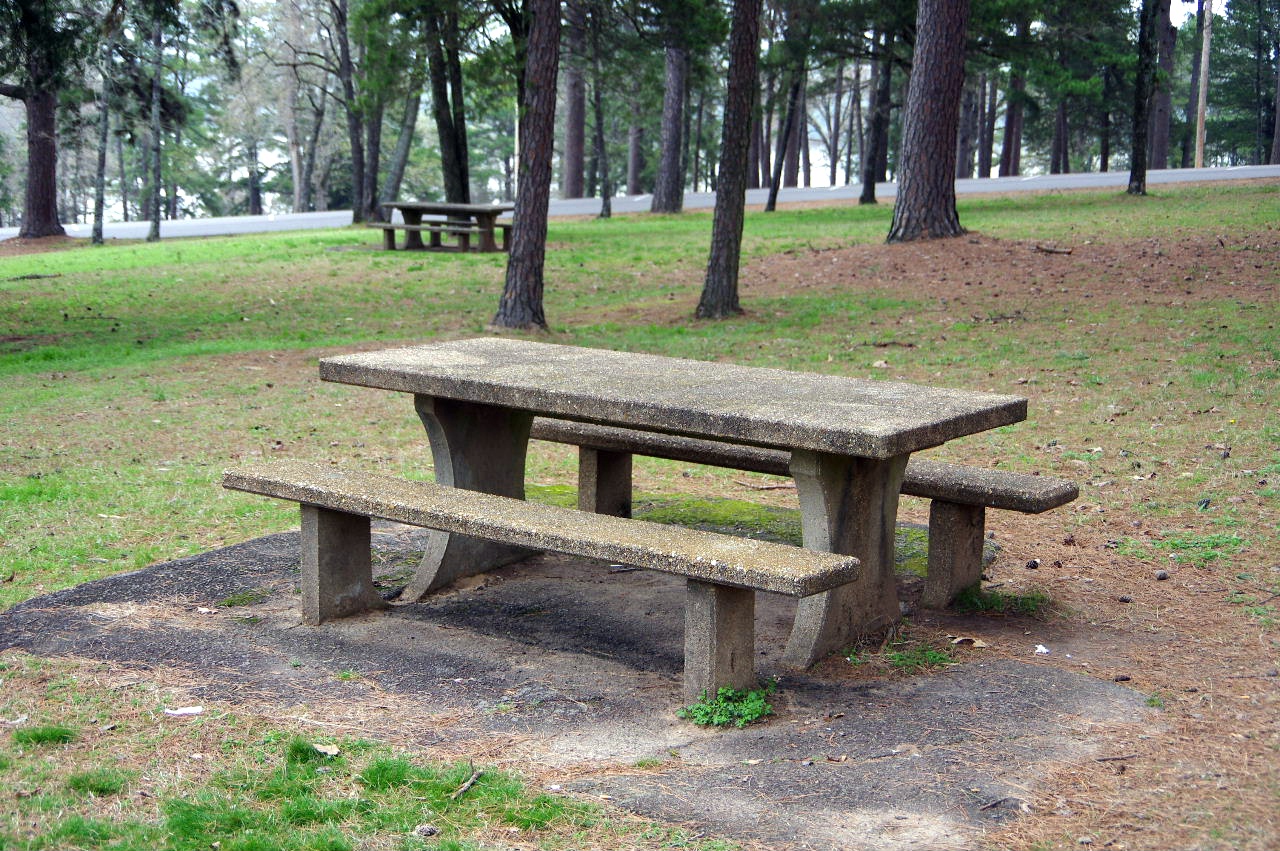
Picnic Table (Typ.)
East side picnic area
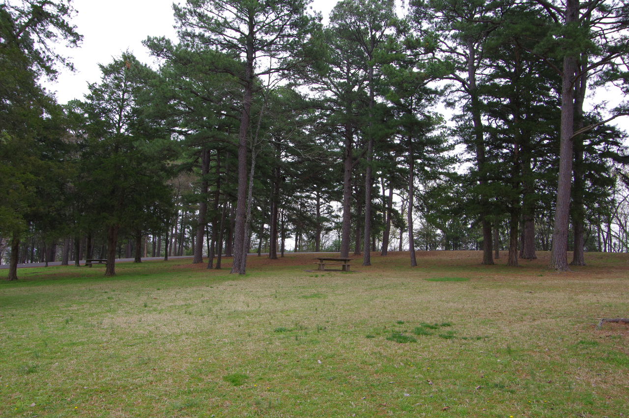
West side grass area
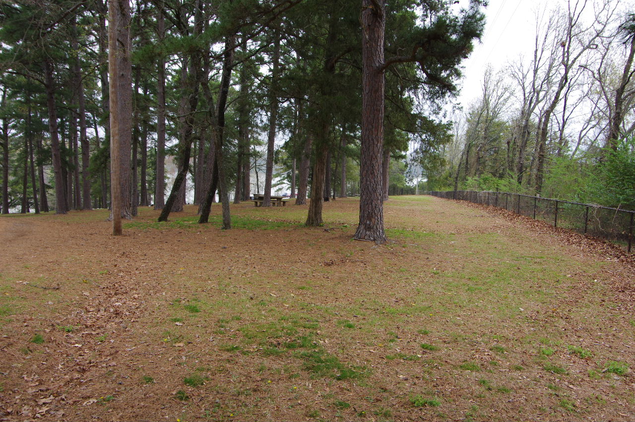
East side picnic area
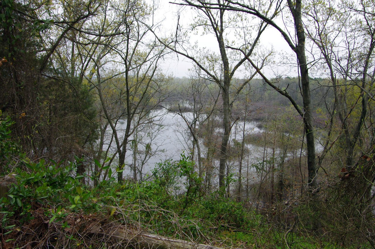
Looking down at Black Water Swamp
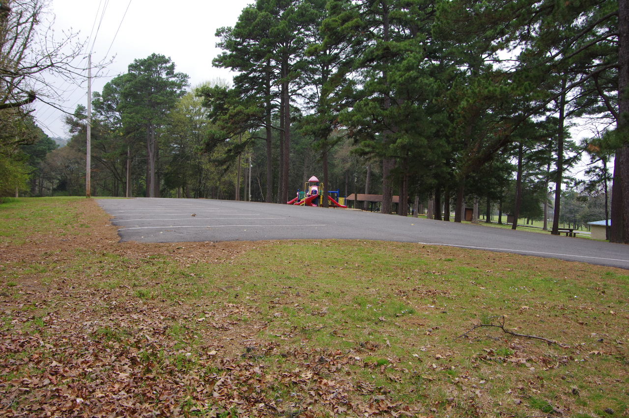
Upper Parking Area above playground

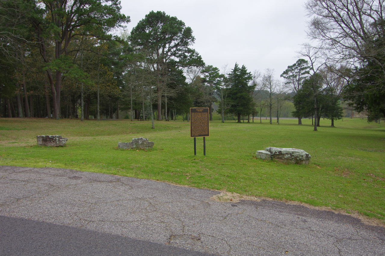
The Russellville Garden Club Memorial Sign
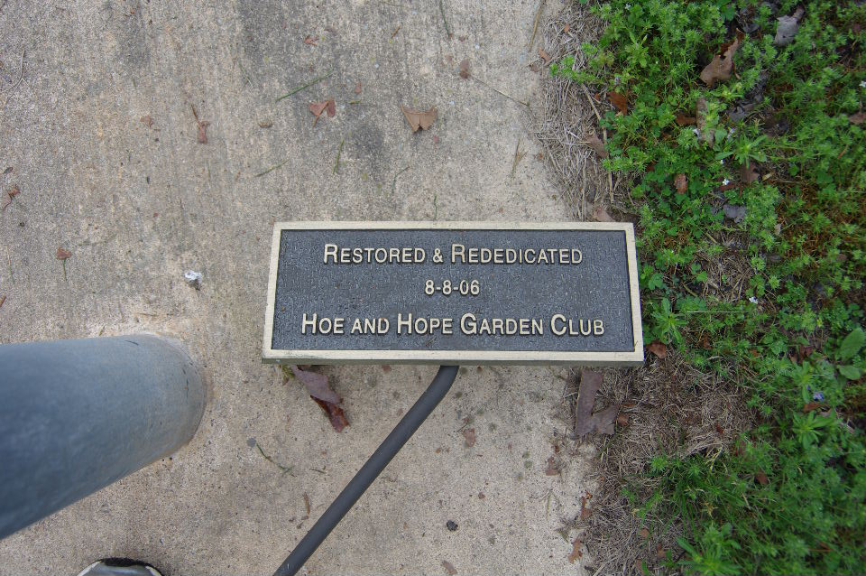
Hoe and Hope Garden Club Plaque
Washburn Park looking west
.JPG)
One of several bird houses
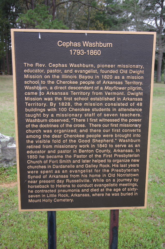
Cephas Washburn Sign
West end park
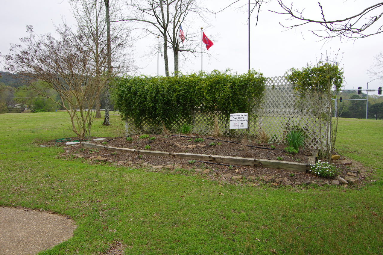
Maintained by the Pope County
Master Gardners
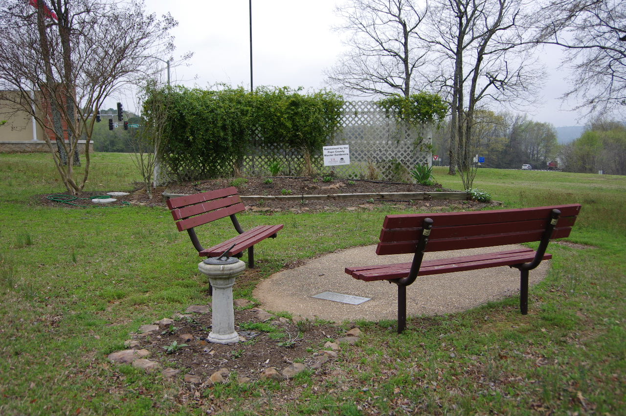
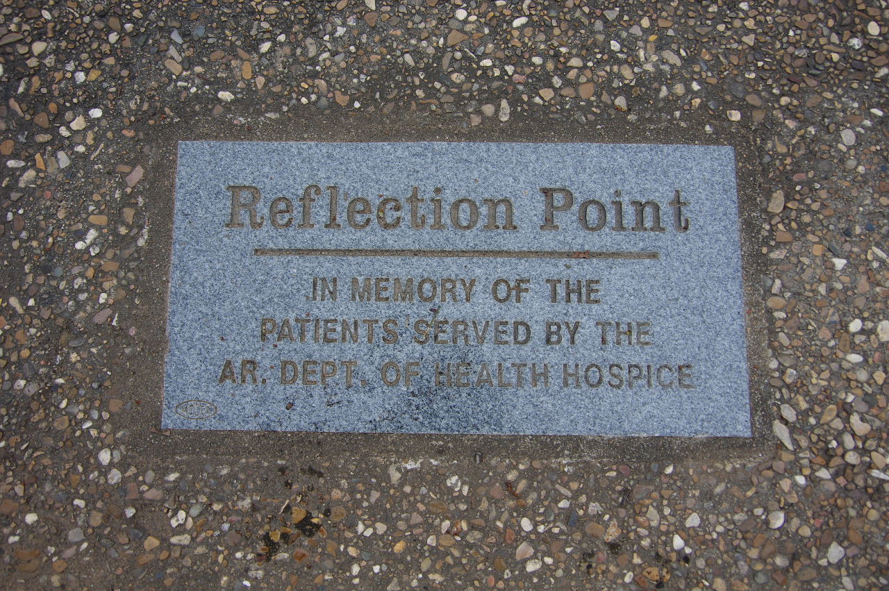
Reflection Point
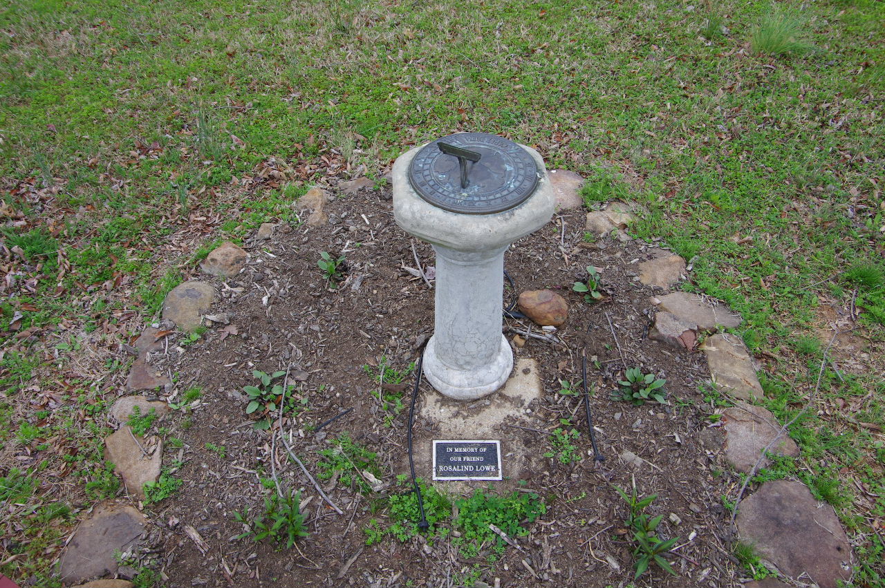
Sundial at Reflection Point
.JPG)
In Memory of our friend Rosalind Lowe


West entrance to Bona Dea Trails
35.30314°, 93.16842°
Parking Area Bona Dea Trails
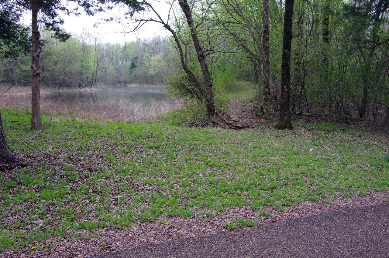
Bona Dea Trails west access looking south
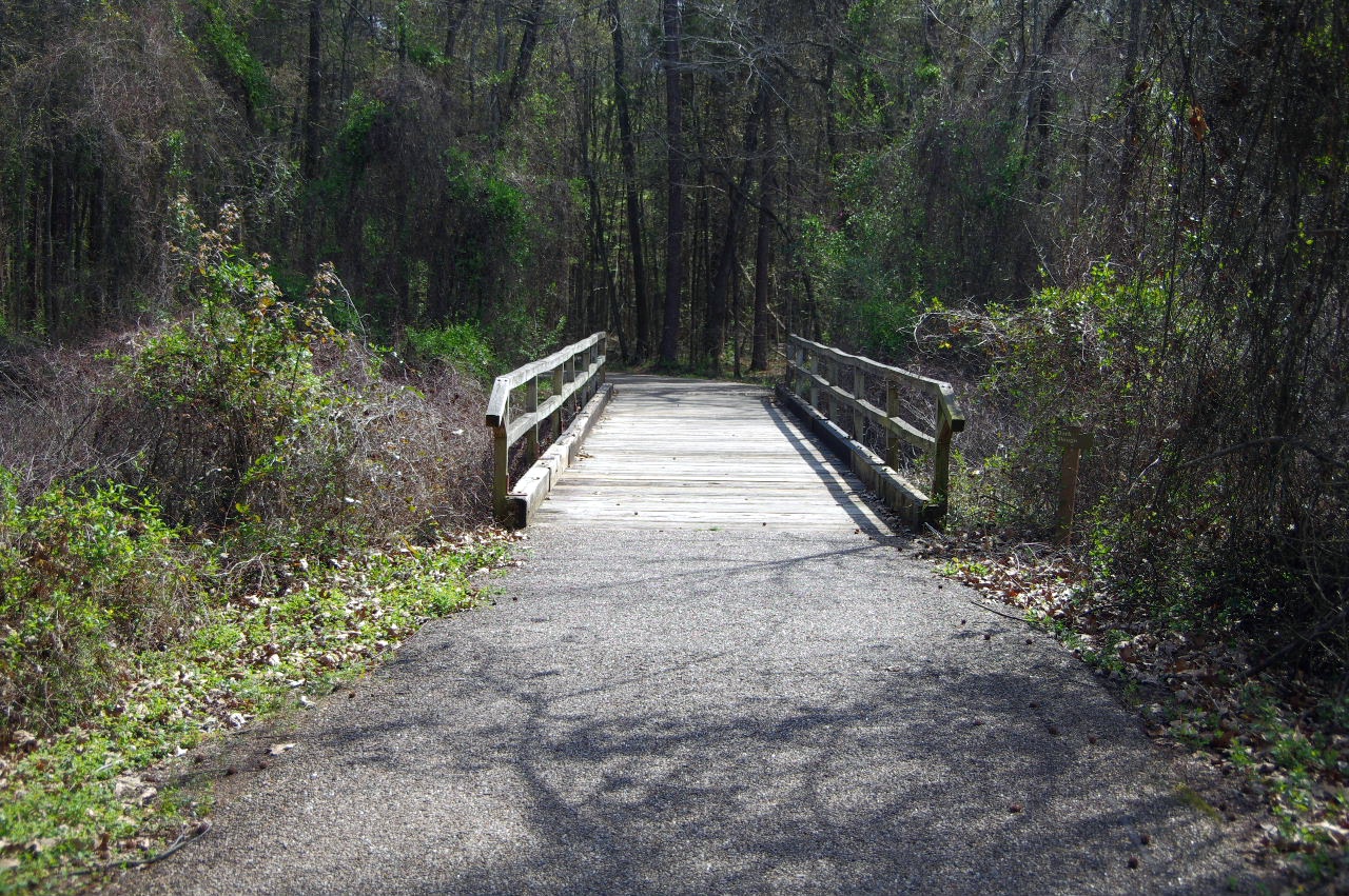
Approaching Bridge #1
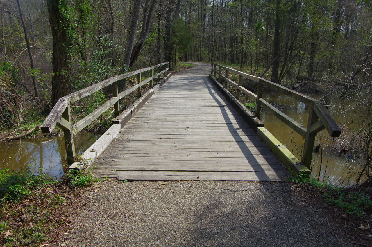
Bridge #1
35.30185°, 93.16703°
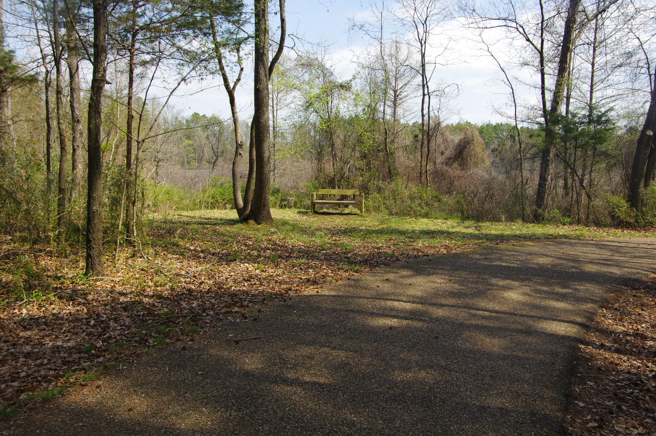
Wooden bench on south side of swamp.
35.30308°, 93.16579°
Continuing on Serendipity Trail
Looking back across swamp at
Wildlife Viewing Station
Someone has created a "shortcut"
35.30195°, 93.16419°
that comes out close to the Beaver Dam Trail
Bridge #2 across Dark Slough
35.29990°, 93.16416°
.JPG)
Dark Slough
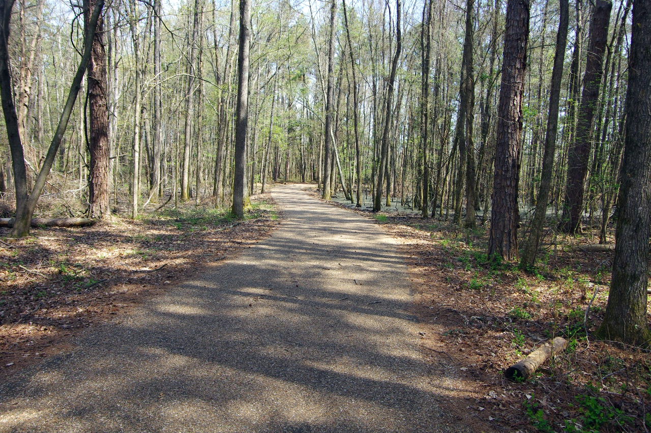
Continuing on Serendipity Trail
This is where "shortcut" trail comes out...
Beaver Dam Trail is on right.
Beaver Dam Trail (South entrance)
35.30144°, 93.16365°
Beaver Dam Trail
(The trails comes back out on Walden Way Trail)
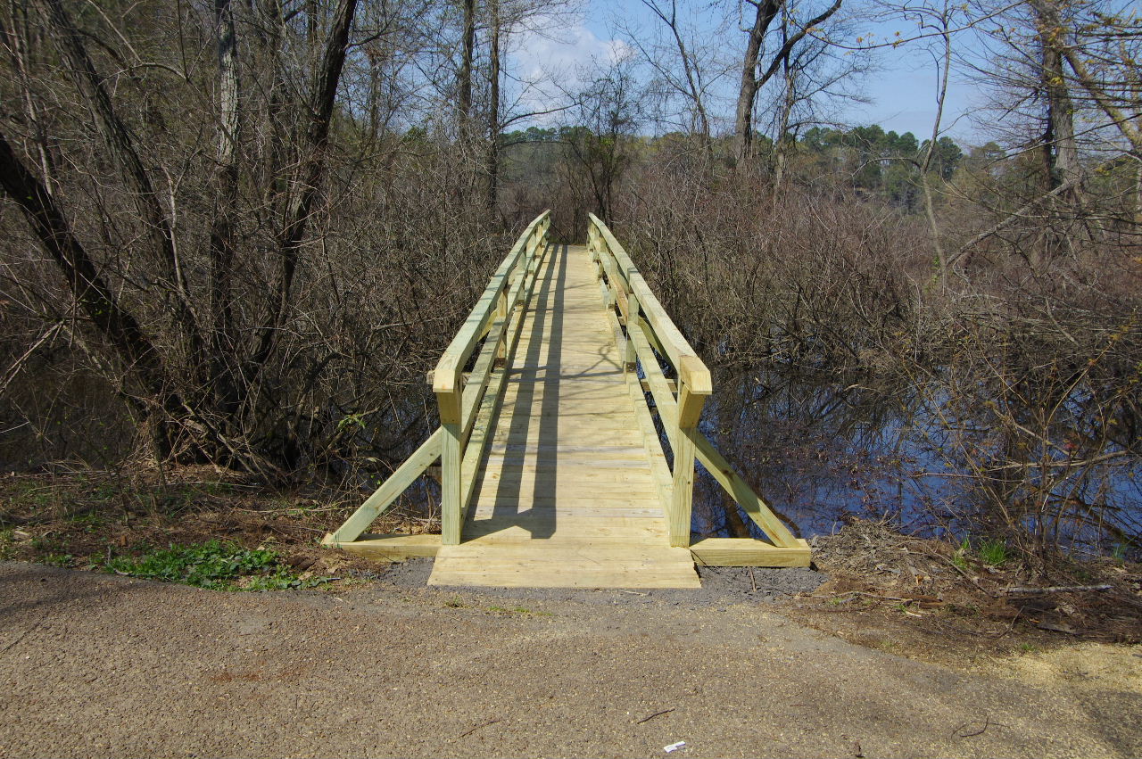
Beaver Dam Trail Bridge on Walden Way
35.30288°, 93.16220°
(This is the other entrance to the trail)
From bridge looking north on Walden Way Trail
(You can see intersection of Serendipity Trail
and the outdoor toliet)
From bridge looking south on Walden Way Trail
(You can see intersection of Serendipity Trail)
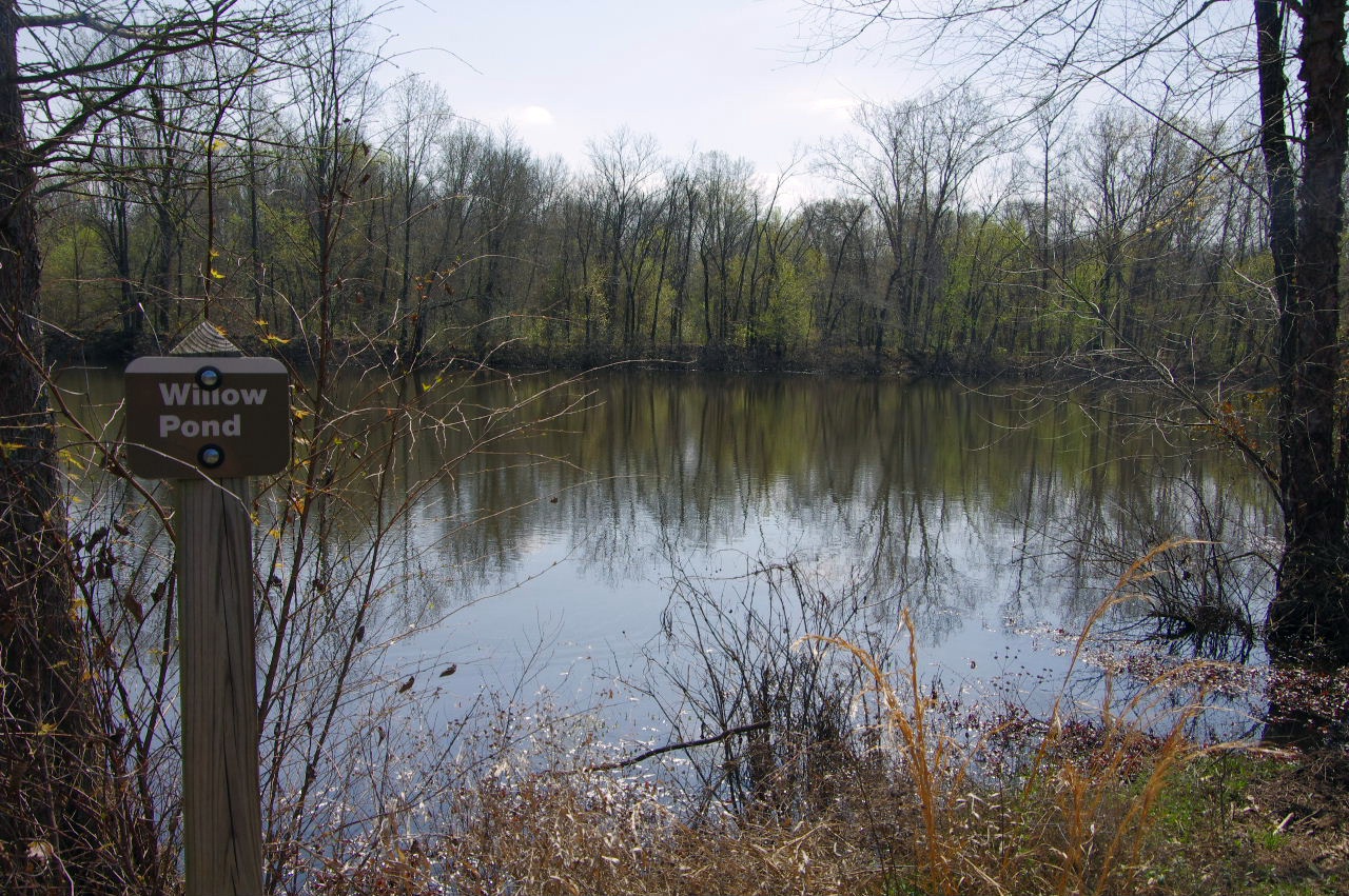
From Walden Way Trail looking east across
Willow Pond
Willow Pond
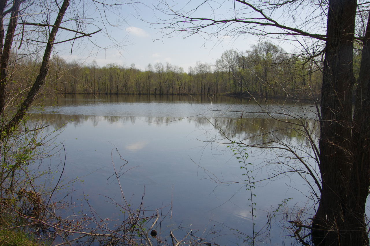
From Walden Way Trail looking west
Intersection of Walden Way Trail (south end)
and Serendipity Trail
Sign at Walden Way Trail (south end) and
Serendipity Trail
35.30126°, 93.16280°
Looking north along Walden Way Trail (south end)
from Serendipity Trail
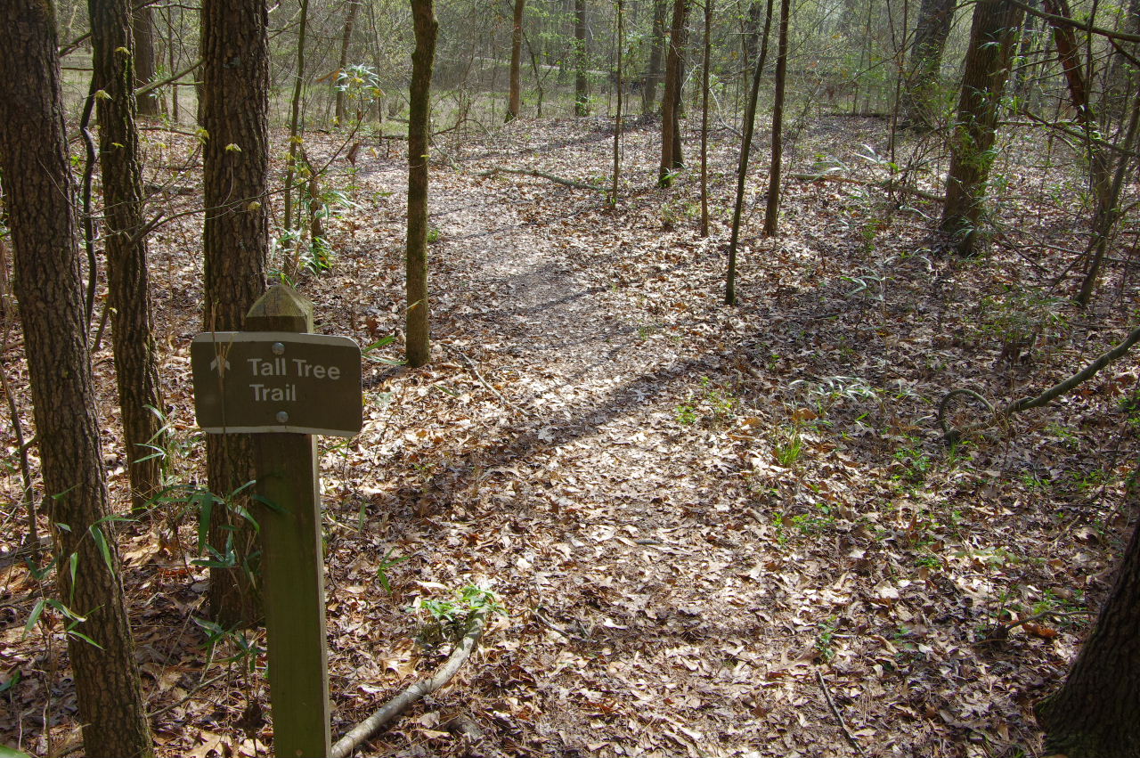
West entrance Tall Tree Trail
35.30095°, 93.16250°
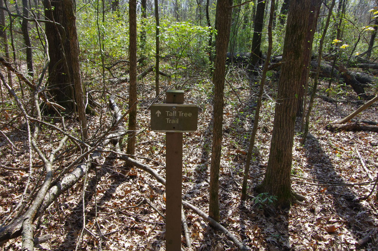
Tall Tree Trail (west entrance)
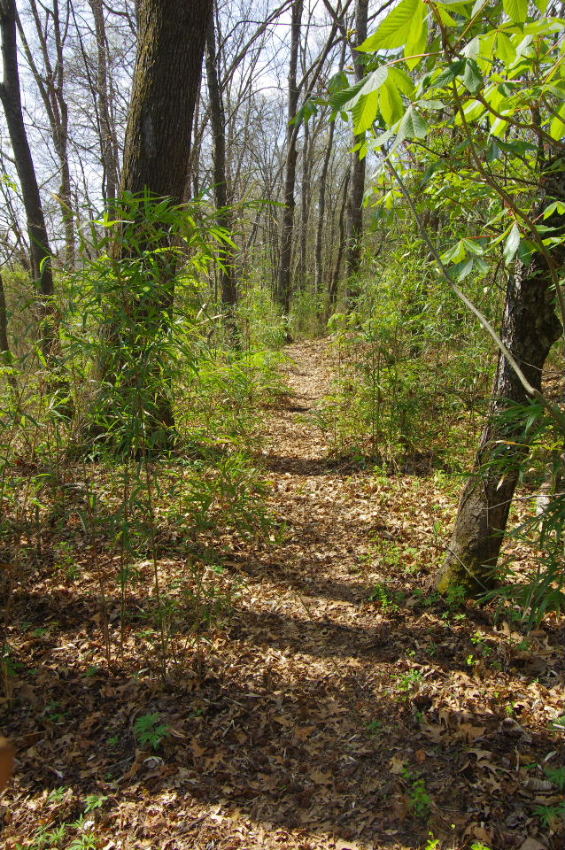
Tall Tree Trail
View of Prairie Creek Bridge #3 from Tall Tree Trail
South entrance of Tall Tree Trail
35.29975°, 93.16306°
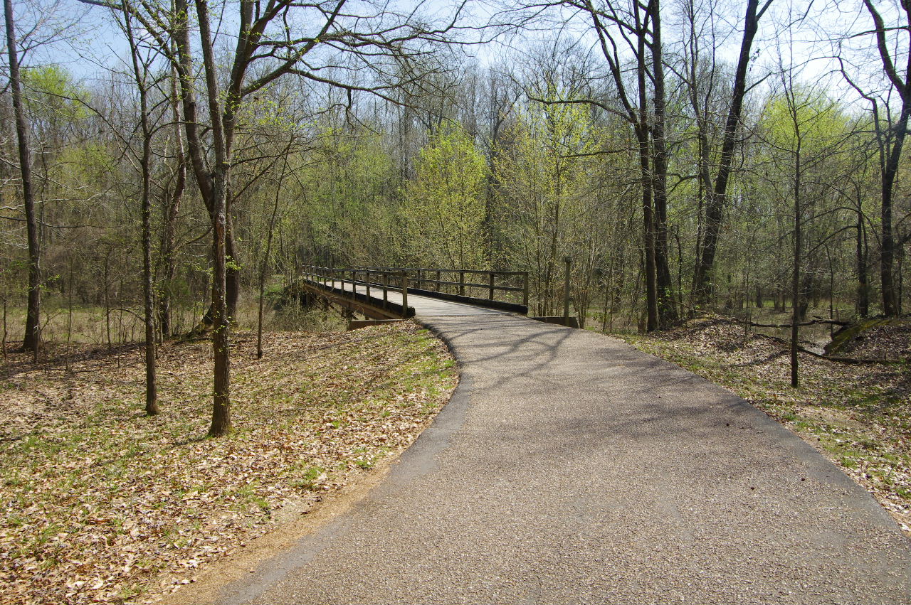
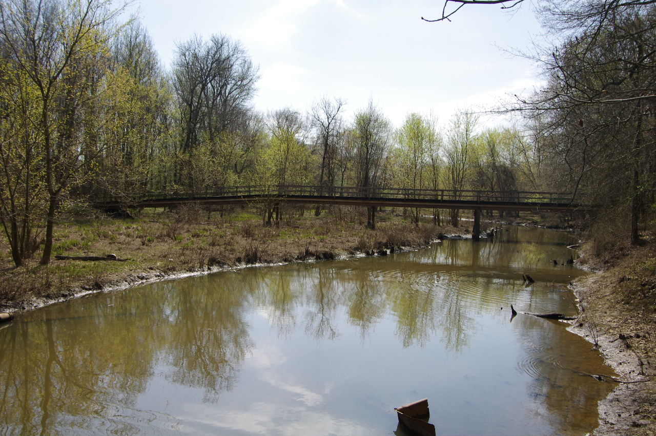
Approaching Prairie Creek Bridge #3
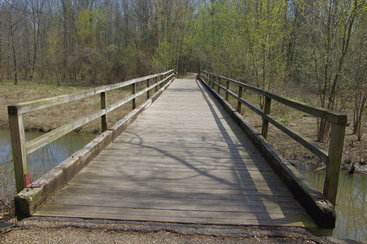
Prairie Creek Bridge #3
35.29942°, 93.16268°
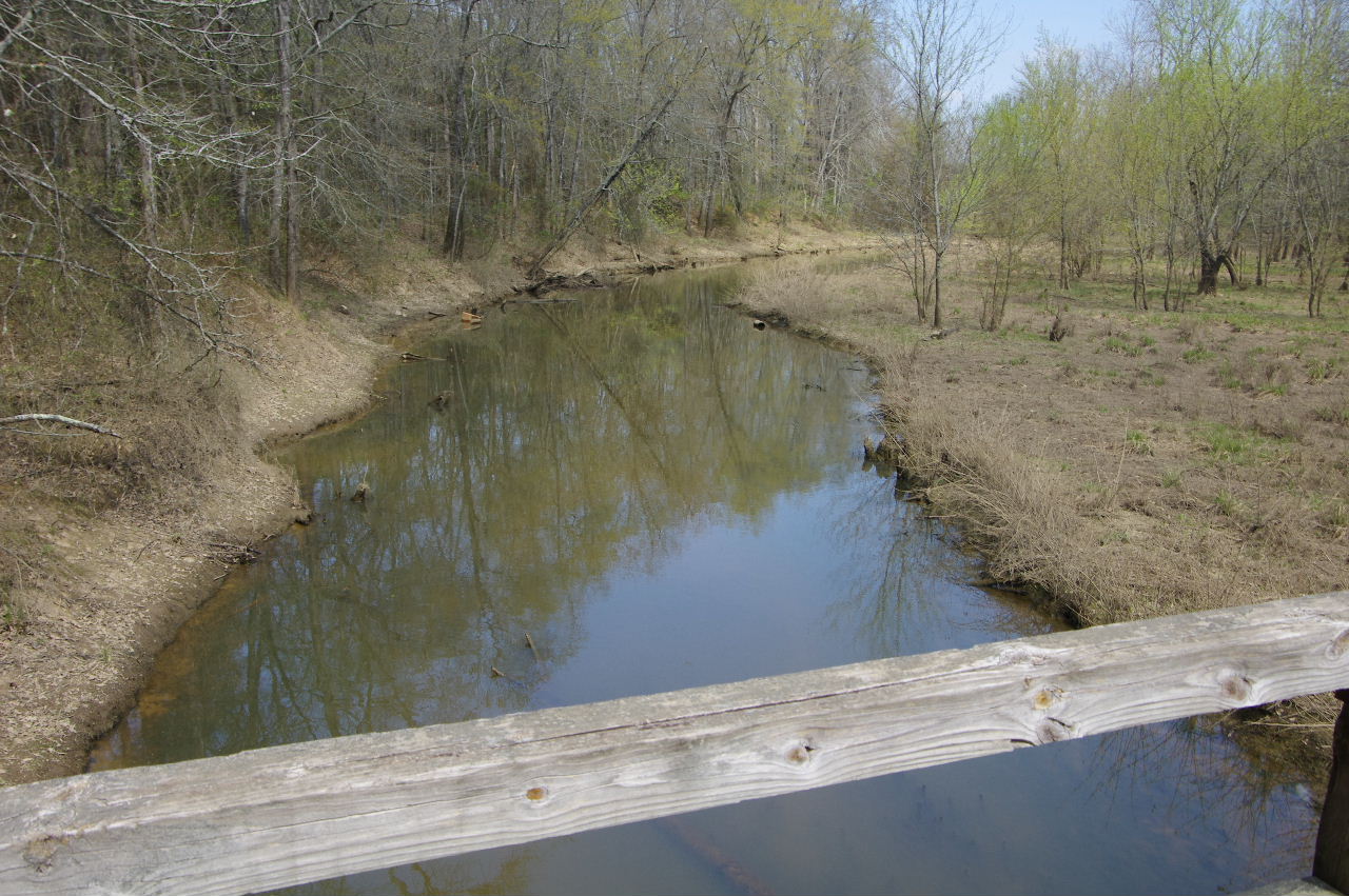
Looking north from bridge
Looking south from bridge
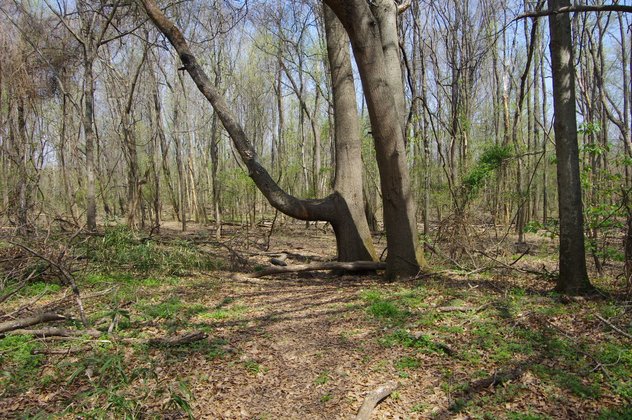
The Signing Tree
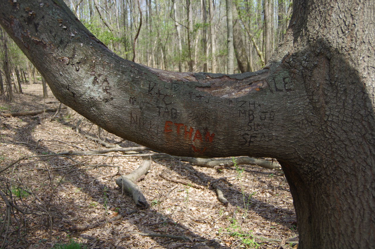
35.30082°, 93.16063°
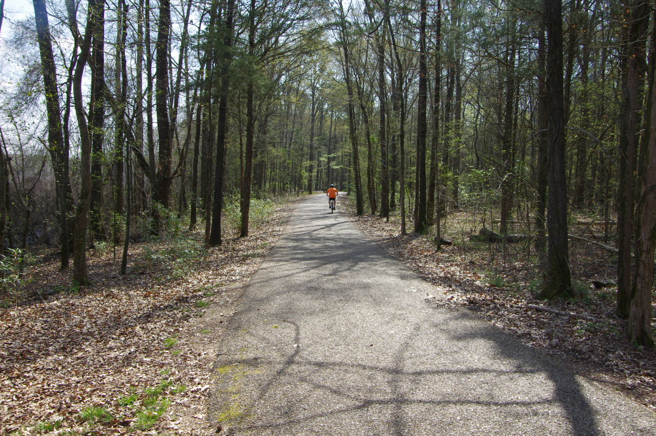
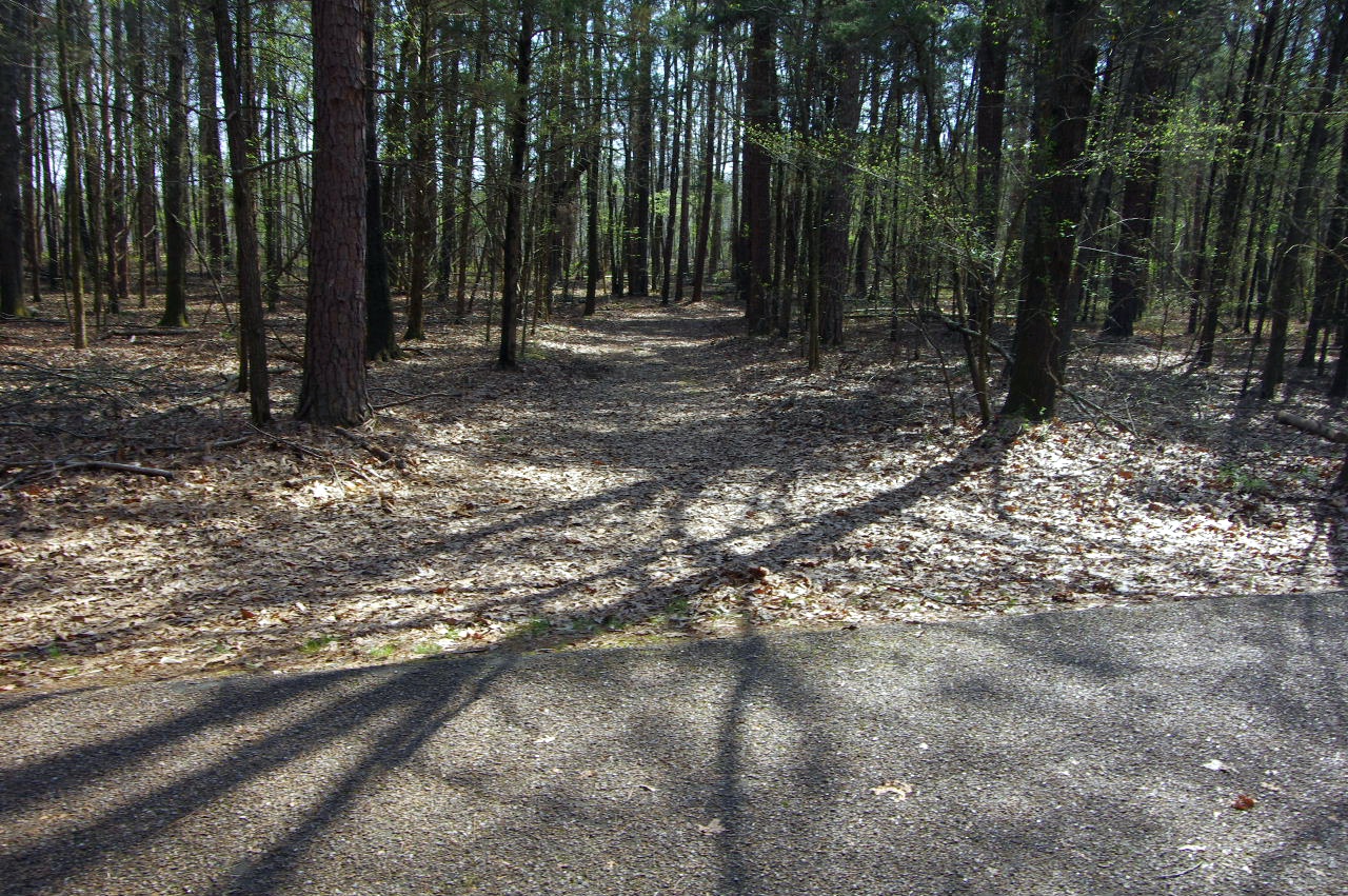
Continuing east on Serendipity Trail
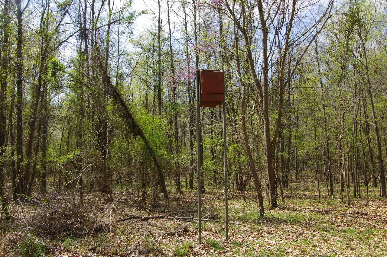
Bat Box
Swinging Bridge Trail (South entrance)
35.30046°, 93.15948°
(The trail is CLOSED at bridge.)
South end of Swinging Bridge
Looking across swamp at north end of bridge
Cable anchors for bridge
Continuing east on Serendipity Trail
Approaching Maple Creek Bridge #4
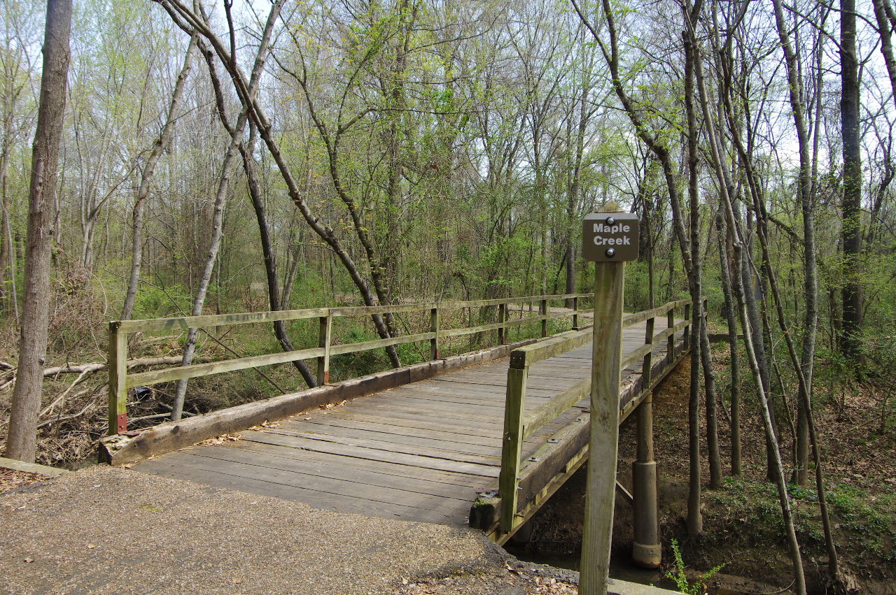
Maple Creek Bridge #4
35.30015°, 93.15709°
Maple Creek Bridge #4
Looking south off of bridge
Approaching intersection of Prairie Creek Trail
and Serendipity Trail
Interersection of Prairie Creek Trail and
Serendipity Trail (looking west)
35.30173°, 93.15544°
Prairie Creek Trail south entrance
Parcourse #?
35.30168°, 93.15533°
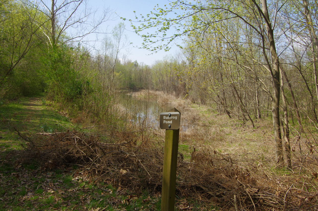
Bullfrog Pond (East entrance)
(Bench under big tree is gone?)
Bullfrog Pond
35.30296°, 93.15372°
(Showing trail along south side of pond)
Trail along south side of Bullfrog Pond
Bench on south side of Bullfrog Pond
35.30246°, 93.15440°
View of Bullfrog Pond from bench
West entrance to Bullfrog Pond on
Prairie Creek Trail
35.30253°, 93.15631°
Approaching intersection of Rabbit Run Trail
and Serendipity Trail
Intersection of Rabbit Run Trail (south end)
and Serendipity Trail (looking west)
35.30354°, 93.15314°
Rabbit Run Trail (South entrance)
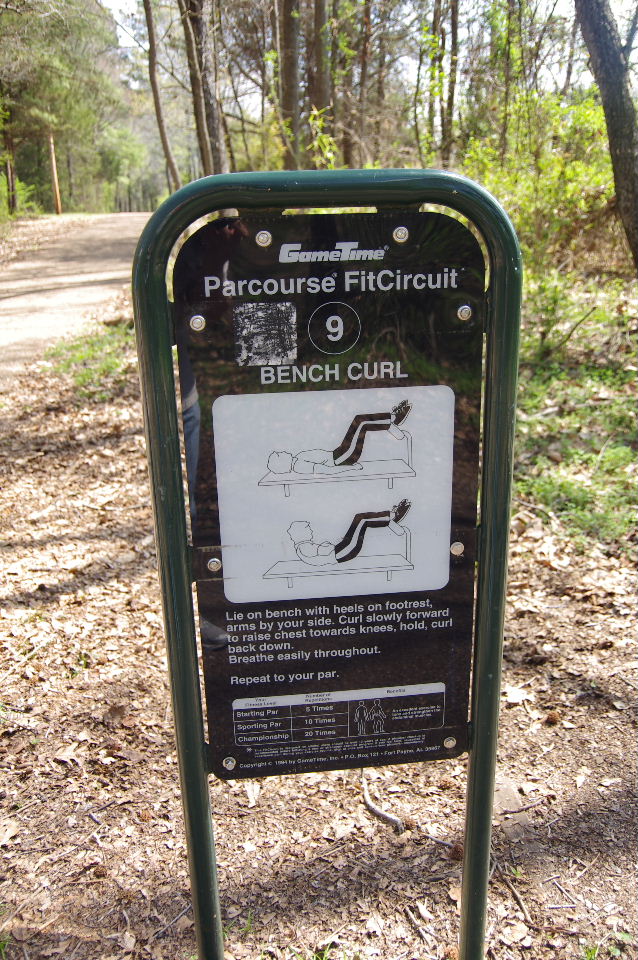
Parcourse #9
35.30357°, 93.15217°
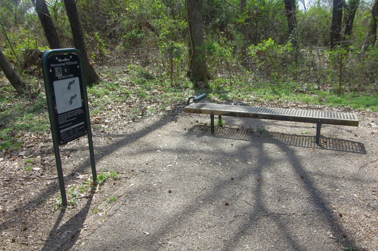
Parcourse #9
(Bench Curl)
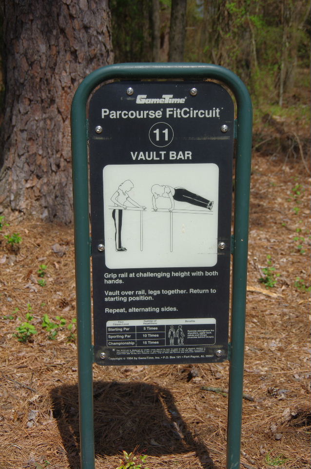
Parcourse #11
35.30367°, 93.15089°
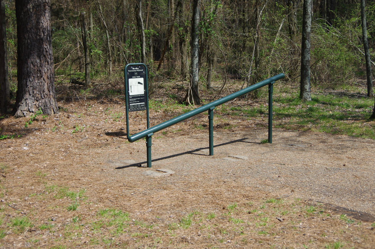
Parcourse #11
(Vault Bar)
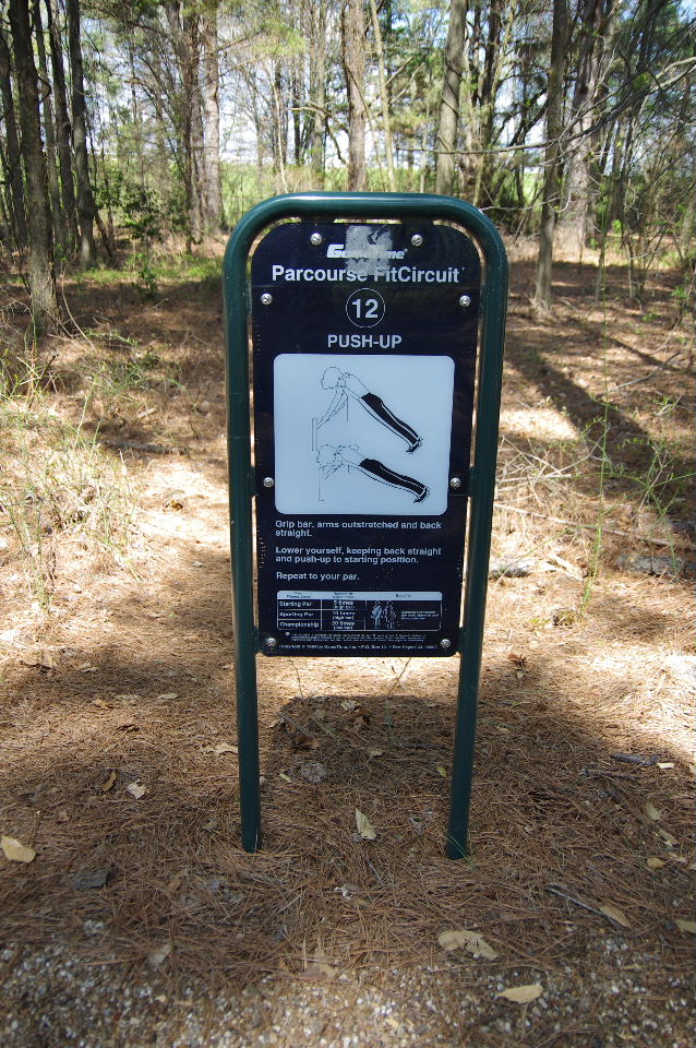
Parcourse #12
35.30399°, 93.14983°
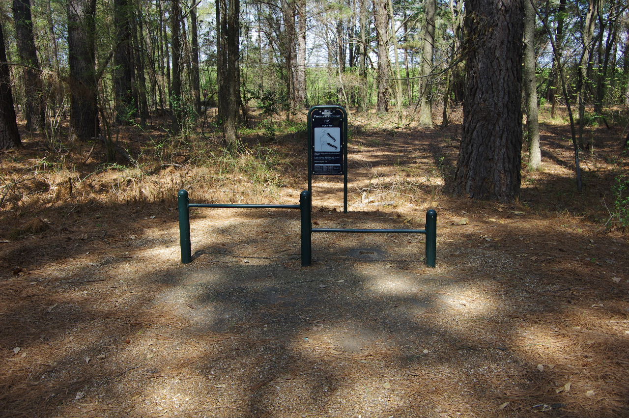
Parcourse #12
(Push-Up)
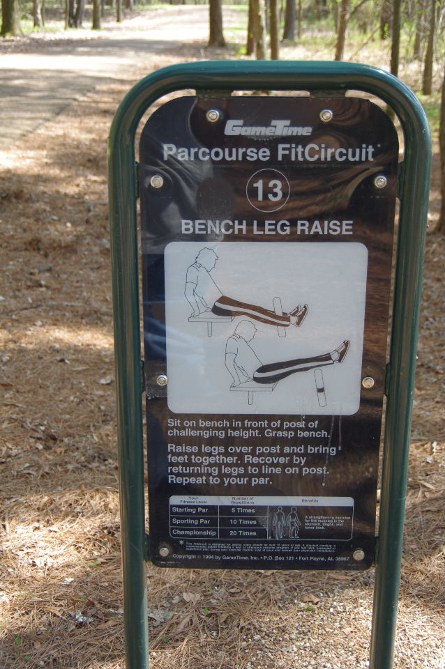
Parcourse #13
35.30370°, 93.14858°
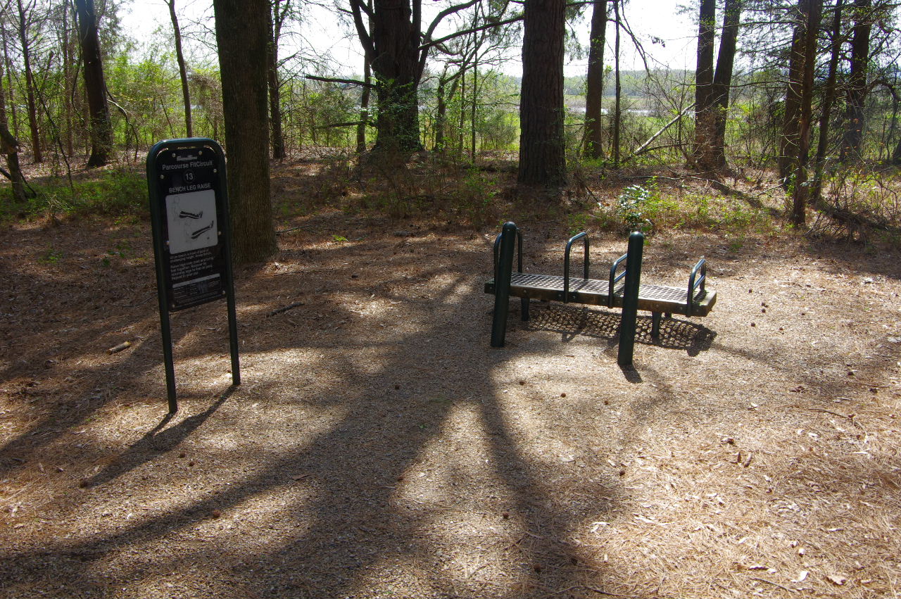
Parcourse #13
(Bench Leg Raise)
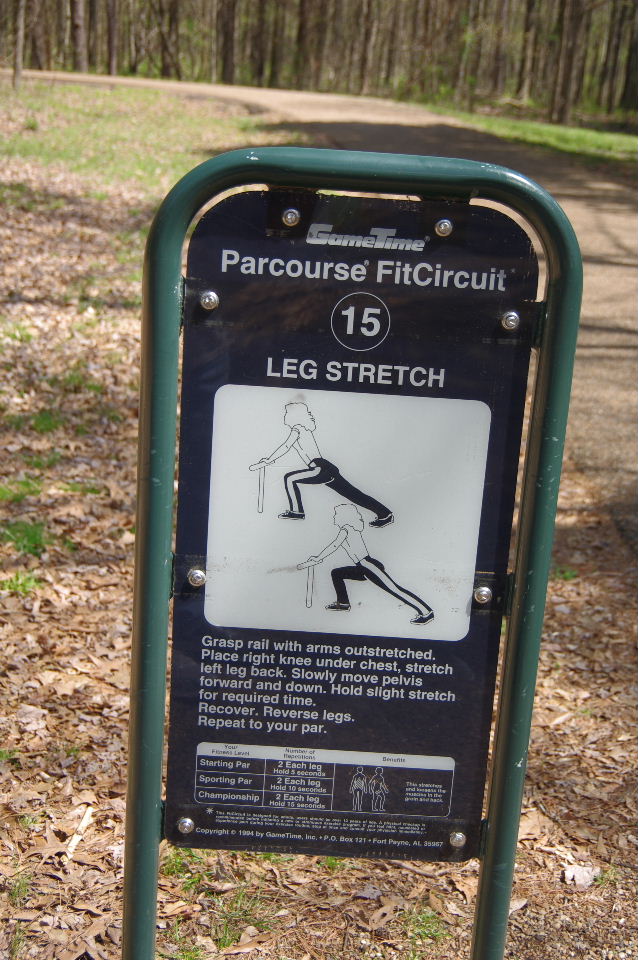
Parcourse #15
35.30376°, 93.14754°
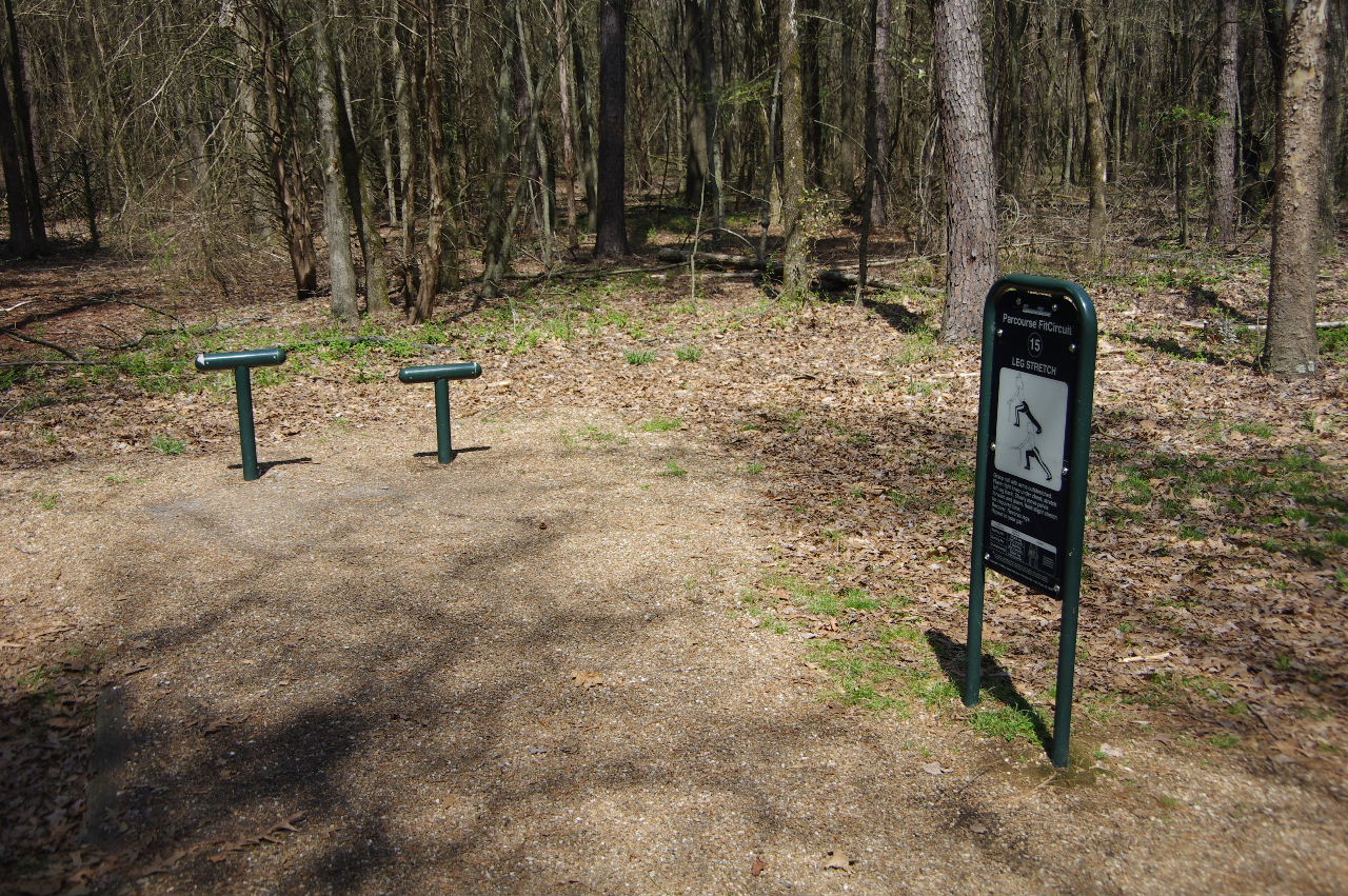
Parcourse #15
(Leg Stretch)
Parcourse #?
35.30433°, 93.14718°
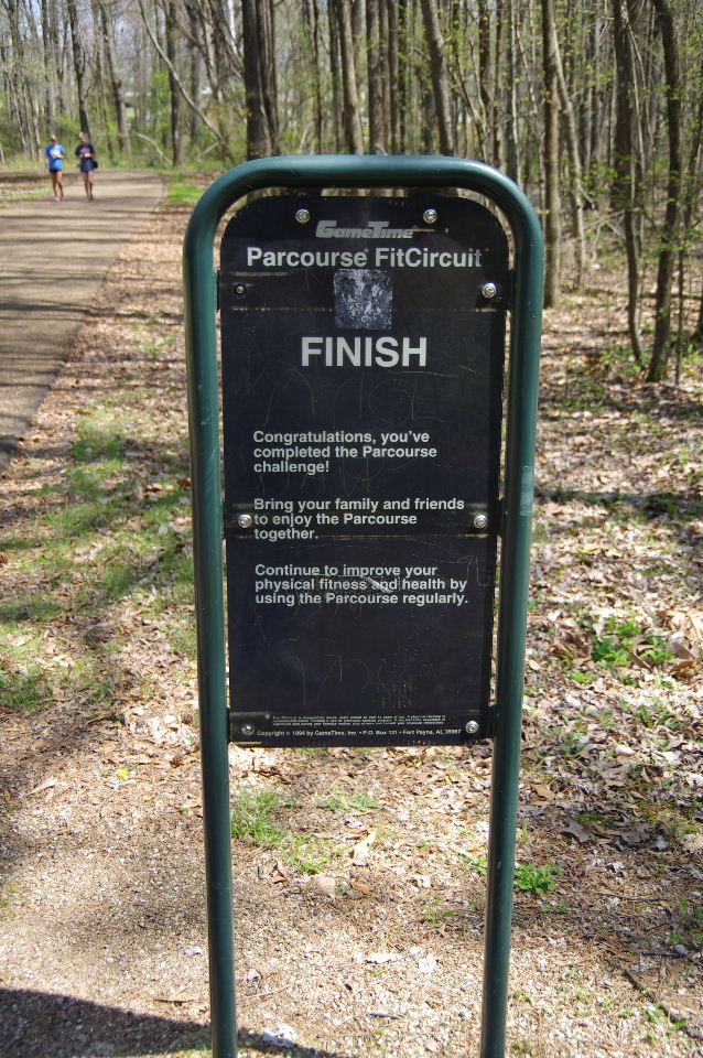
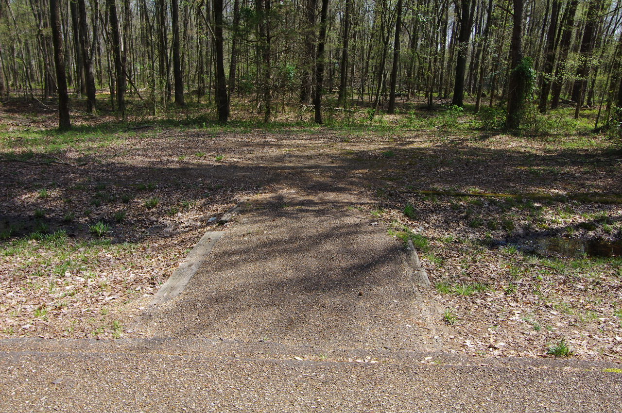
Finish of Parcourses
35.30485°, 93.14699°
New Phoenix Trail Intersection
35.30389°, 93.14722°
Approaching entrance to Bona Dea Trails
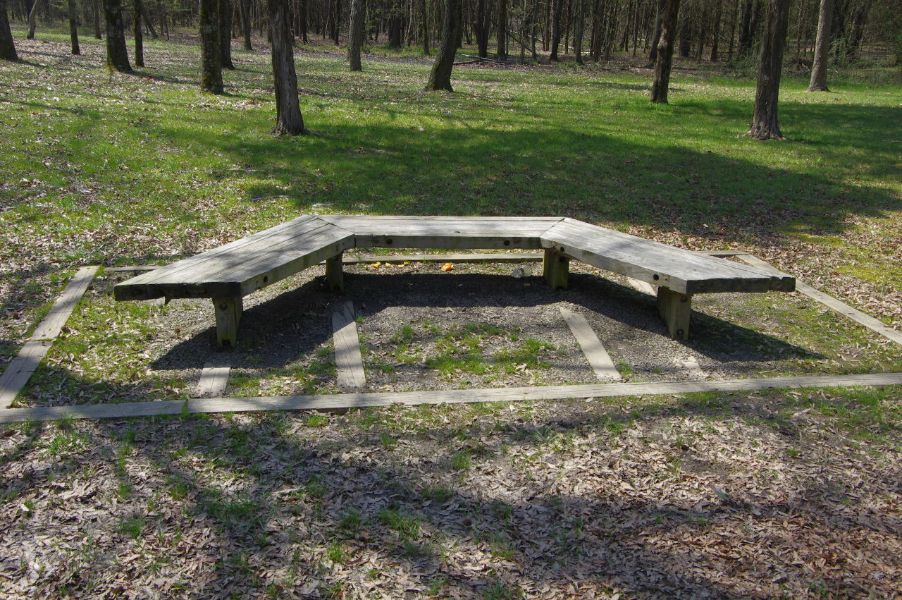
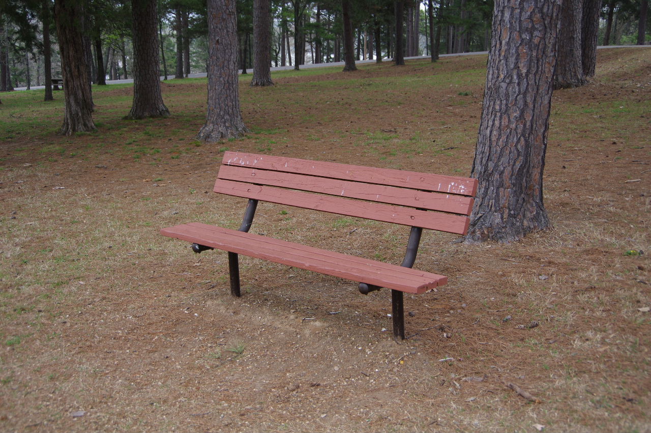
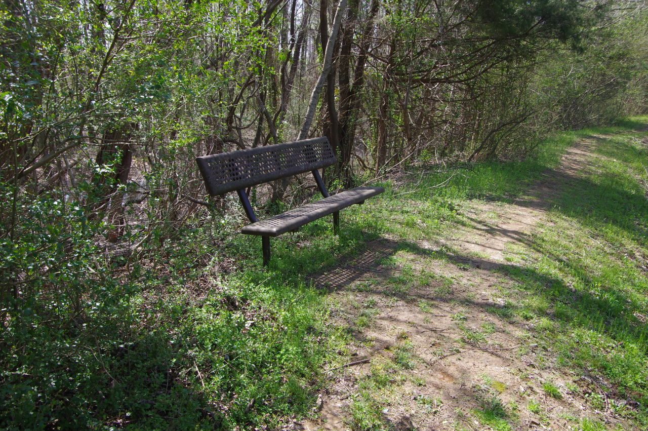
Wood Bench (west side)
35.30556°, 93.14681°
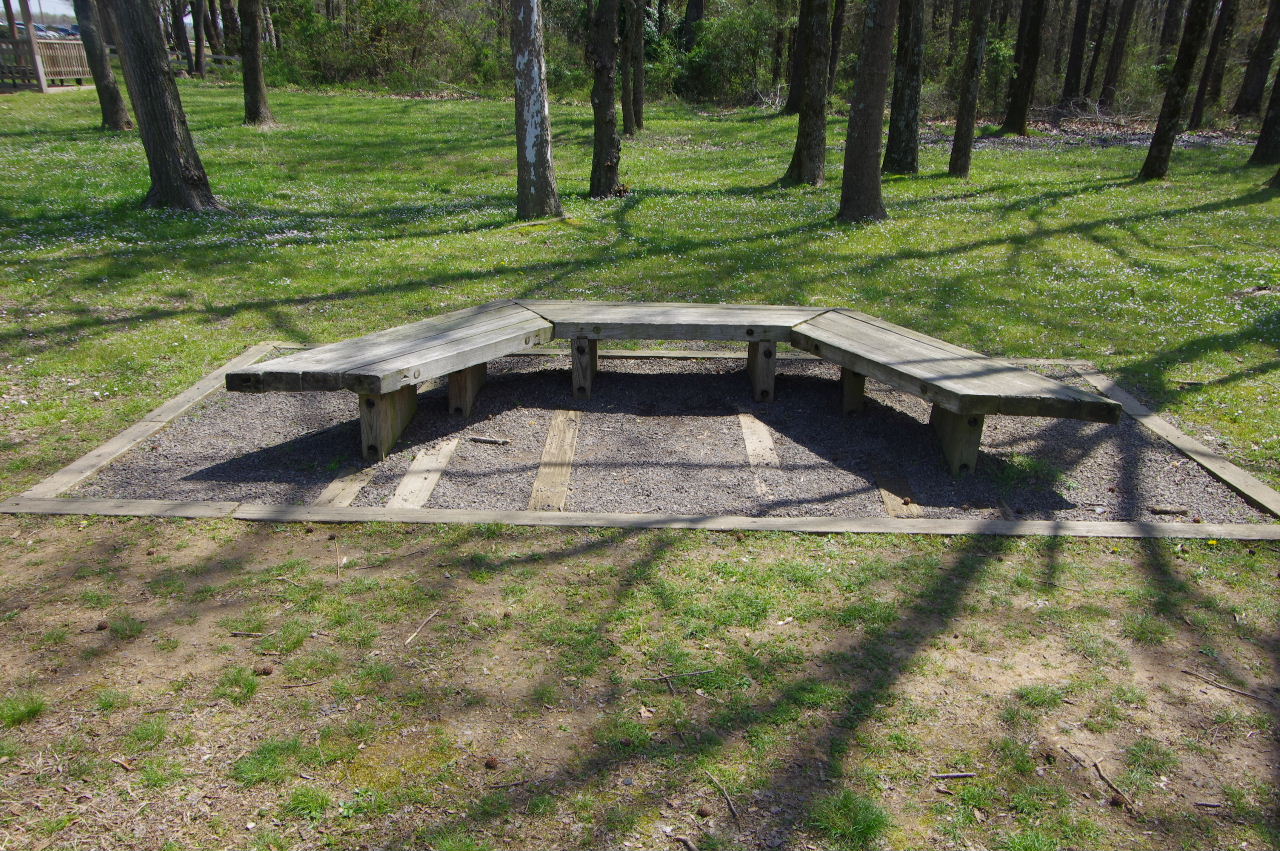
Wood Bench (east side)
35.30579°, 93.14650°
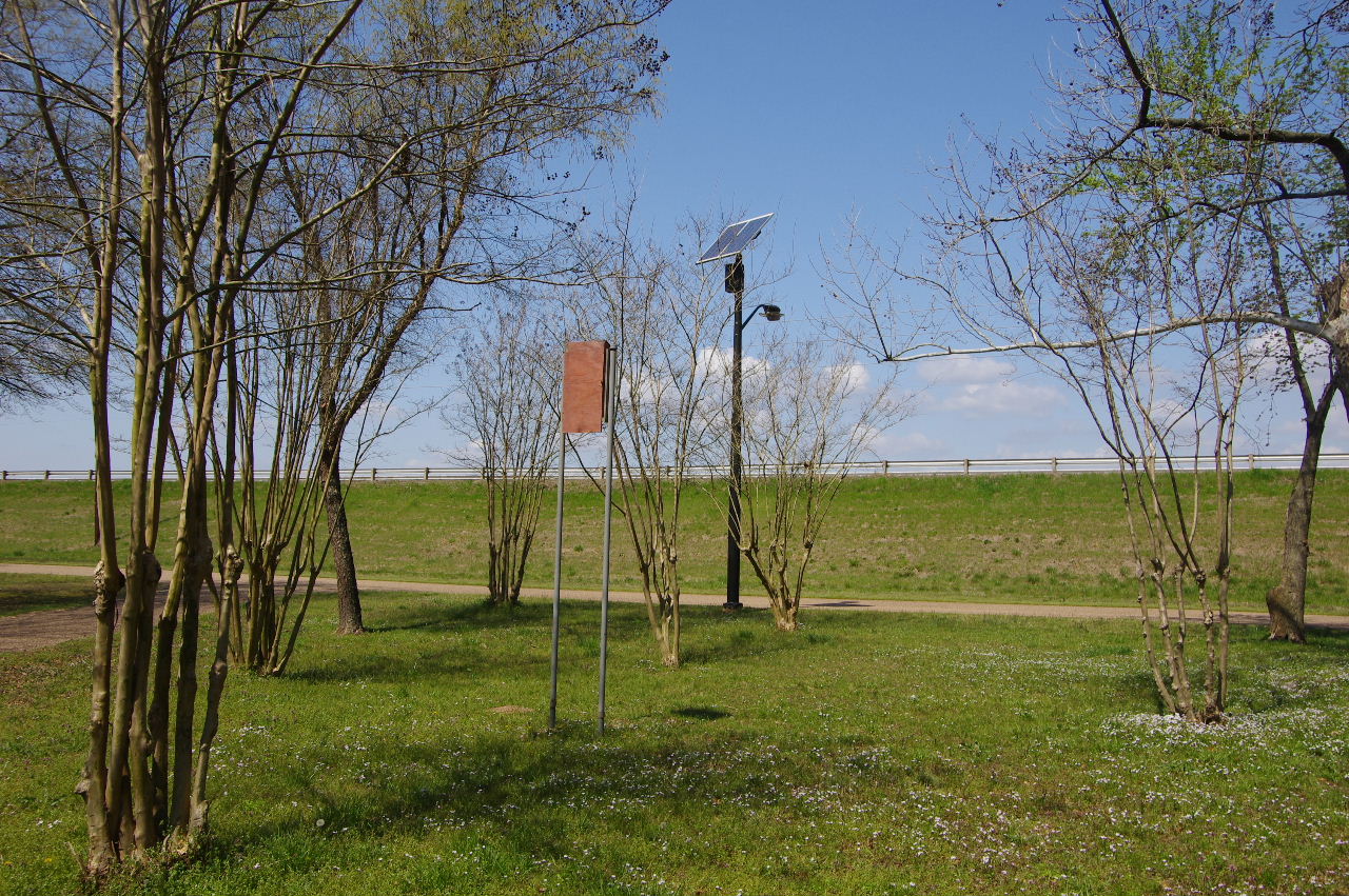
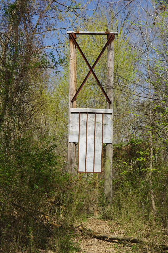
Bat Box and Solar Light
Heading back to parking lot.....
Back at entrance to Bona Dea Trails