.jpg)
Parking Area #1 35.86576°, 93.46336°
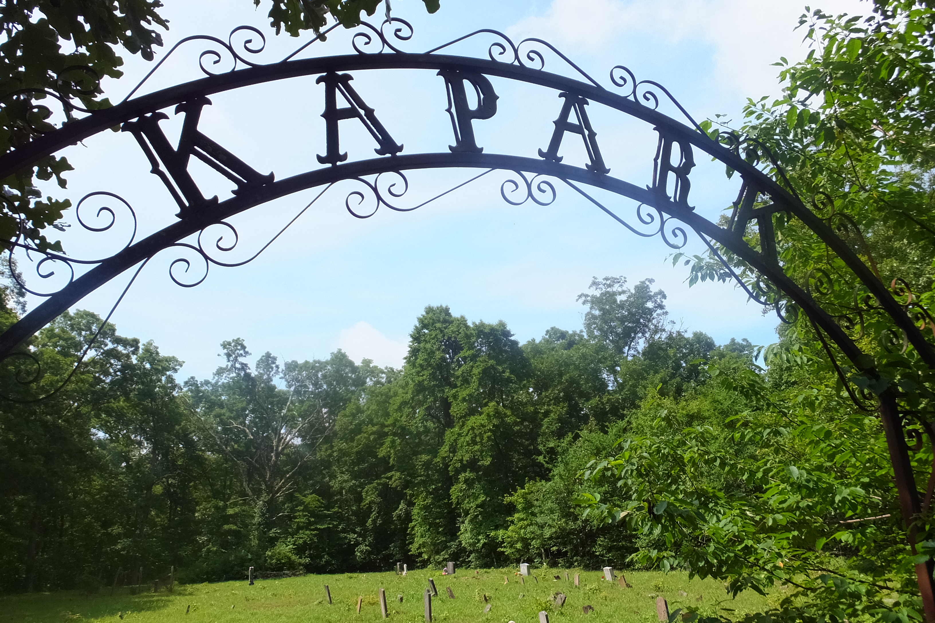
Kapark Cemetery
35.85968°, 93.45939
Parking Area #2 and Trailhead
35°51.681, 93°27.533
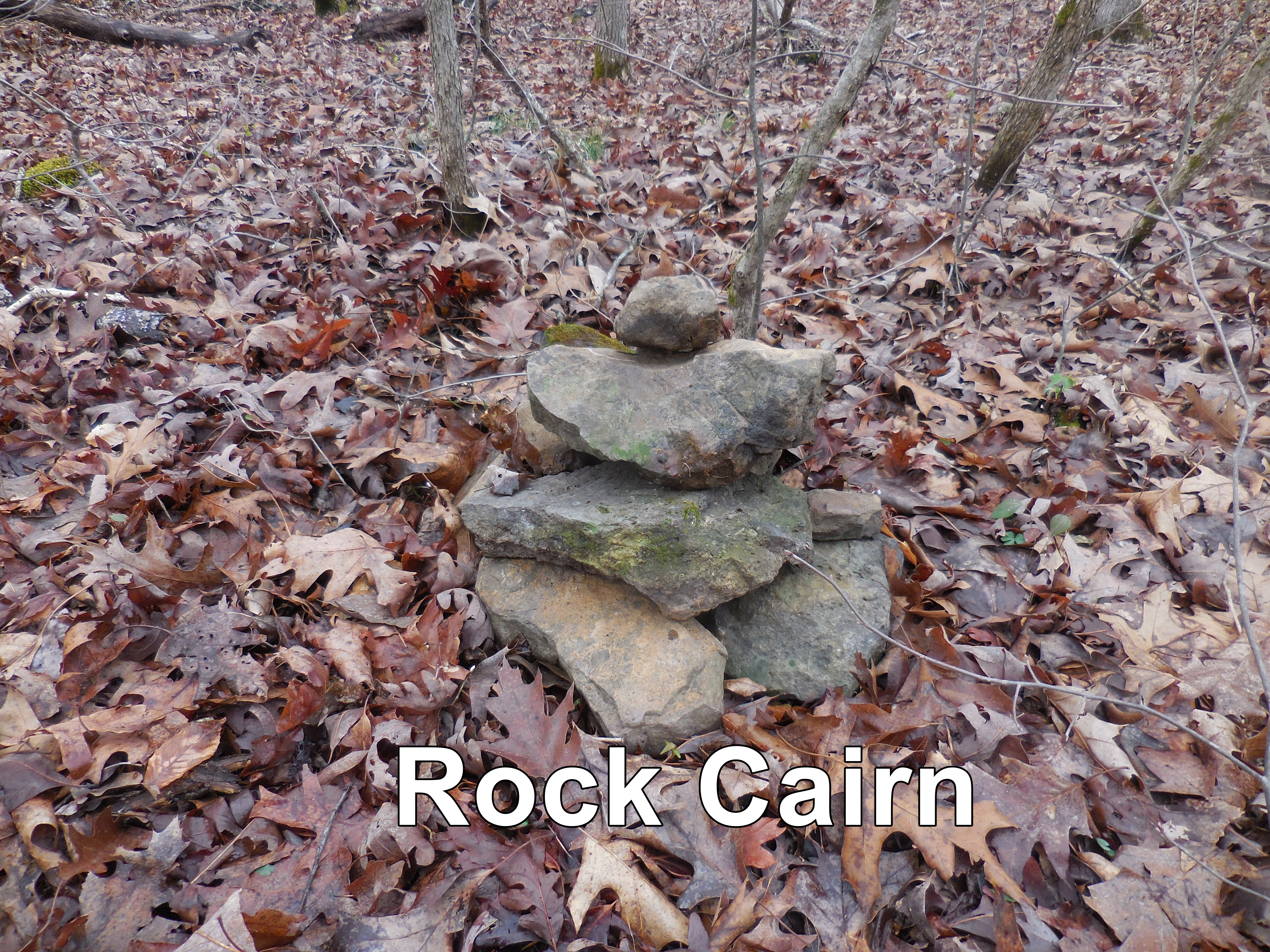
Access Point "B" Rock Cairn
35.85241°, 93.43727°
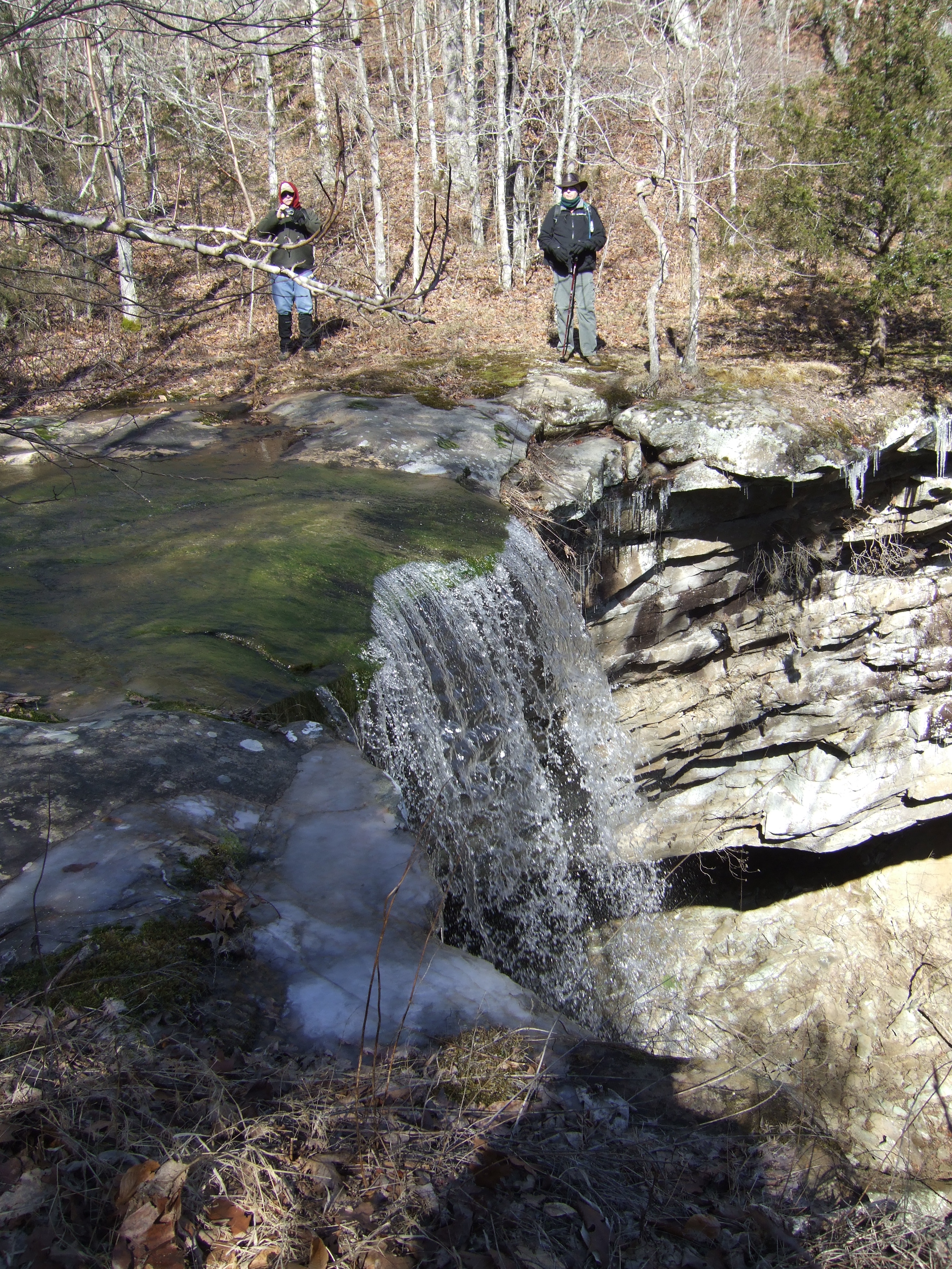
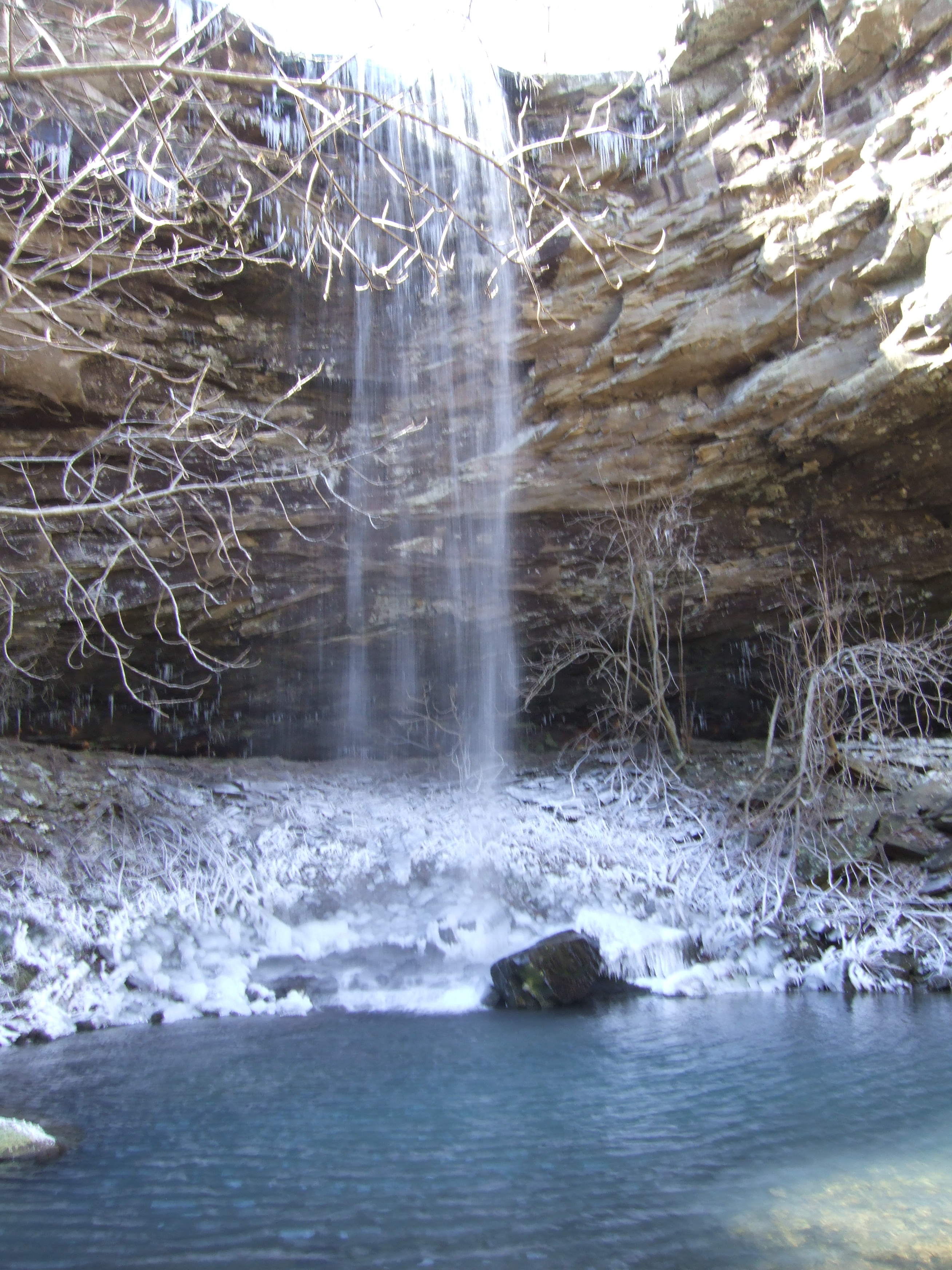
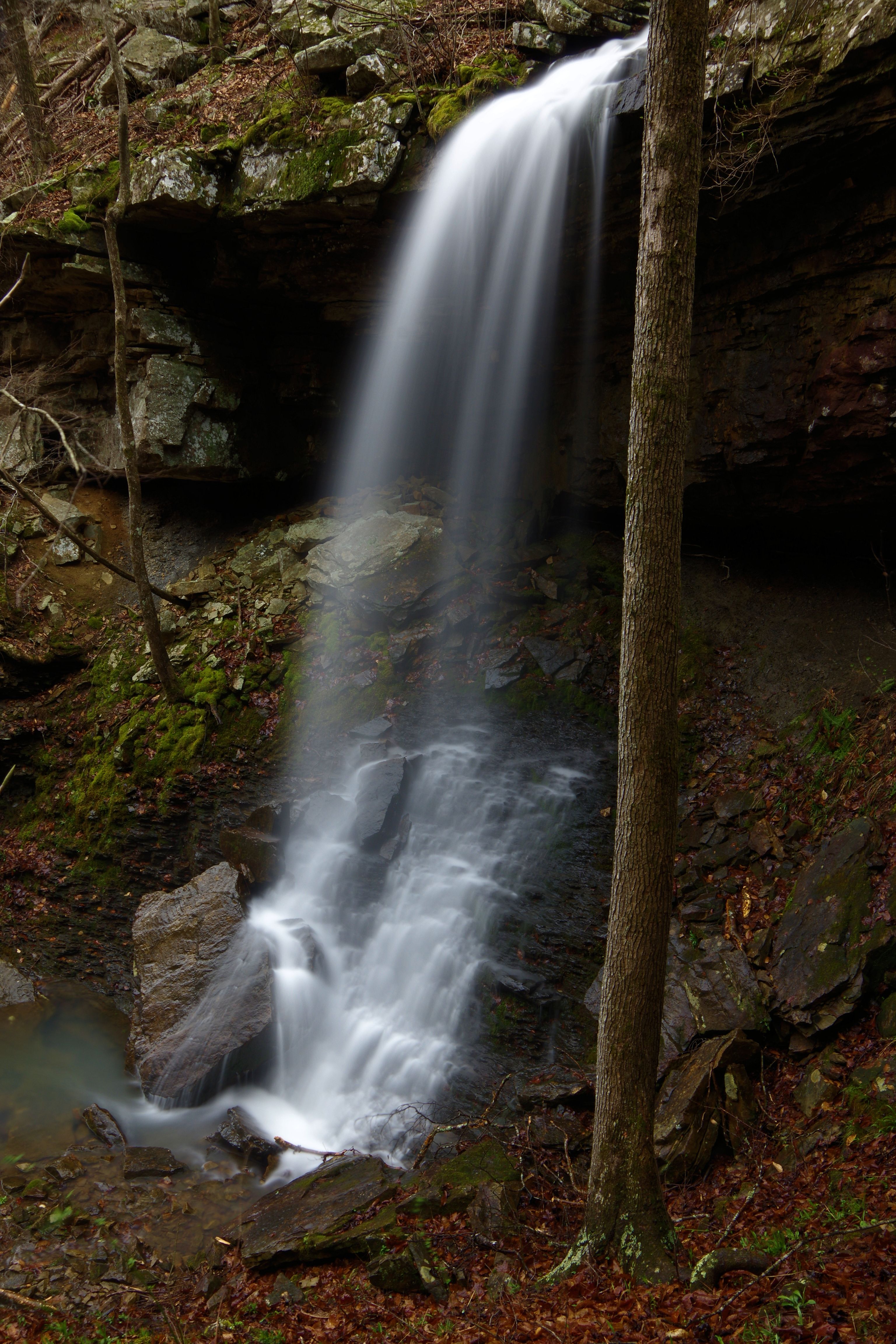
Top of WF #1 Bowers Hollow Falls
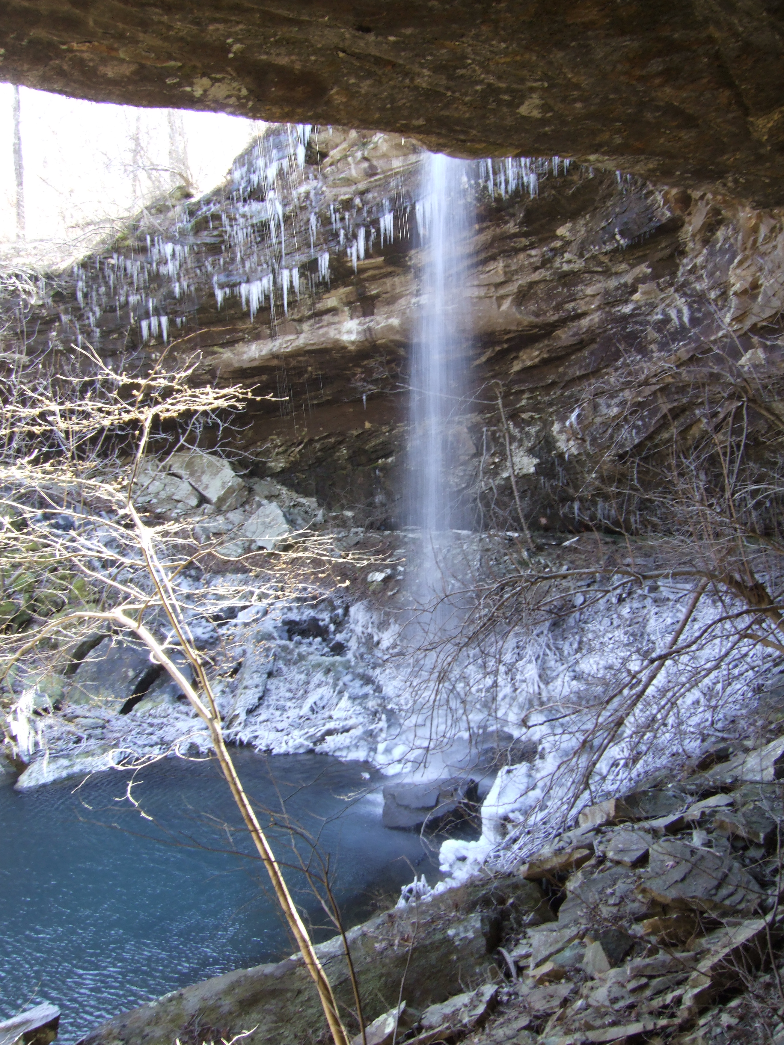
WF #1 Bowers Hollow Falls
35.85428°, 93.43459°
.JPG)
35.85552°, 93.43008°
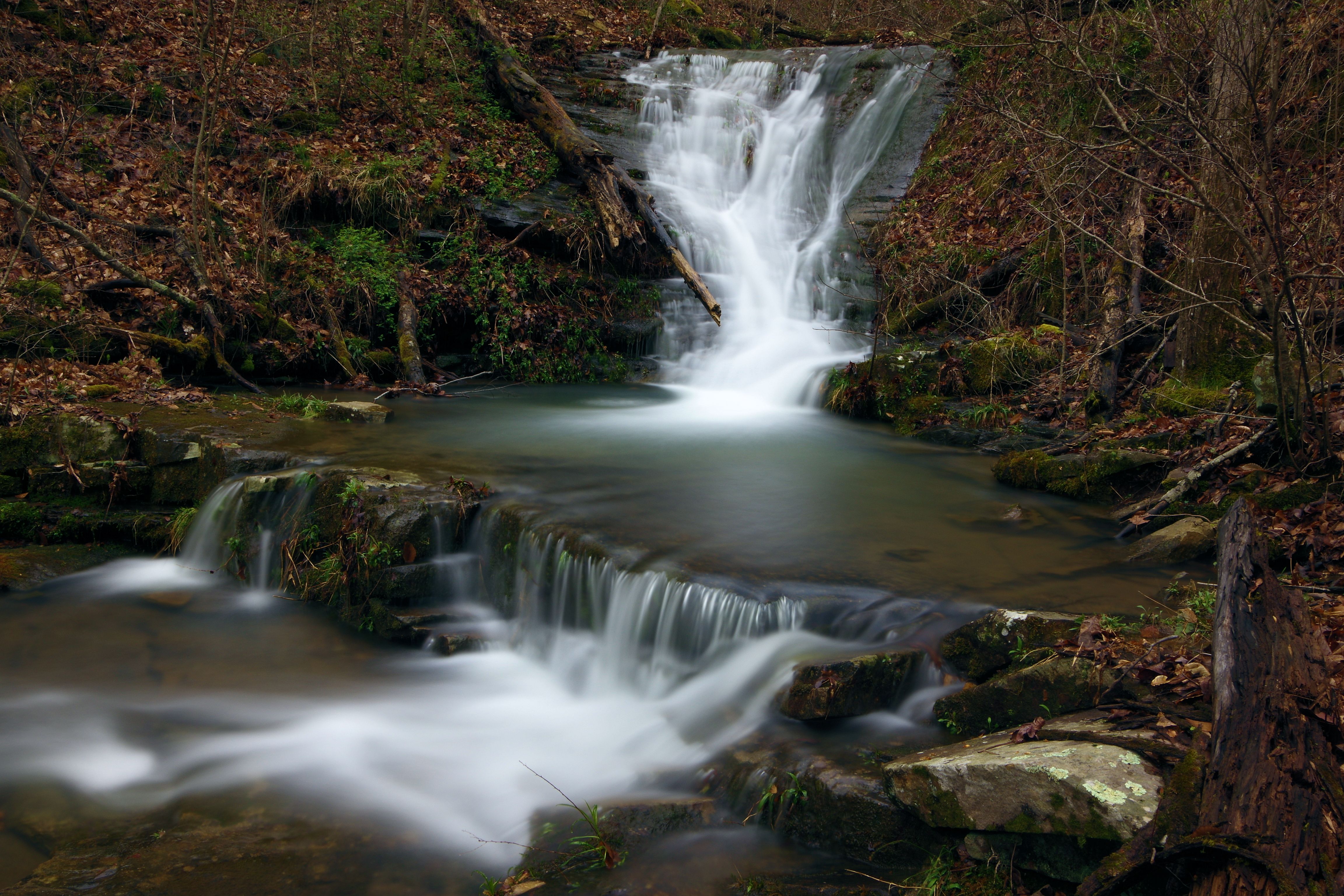
WF #2
35.85390°, 93.43289°
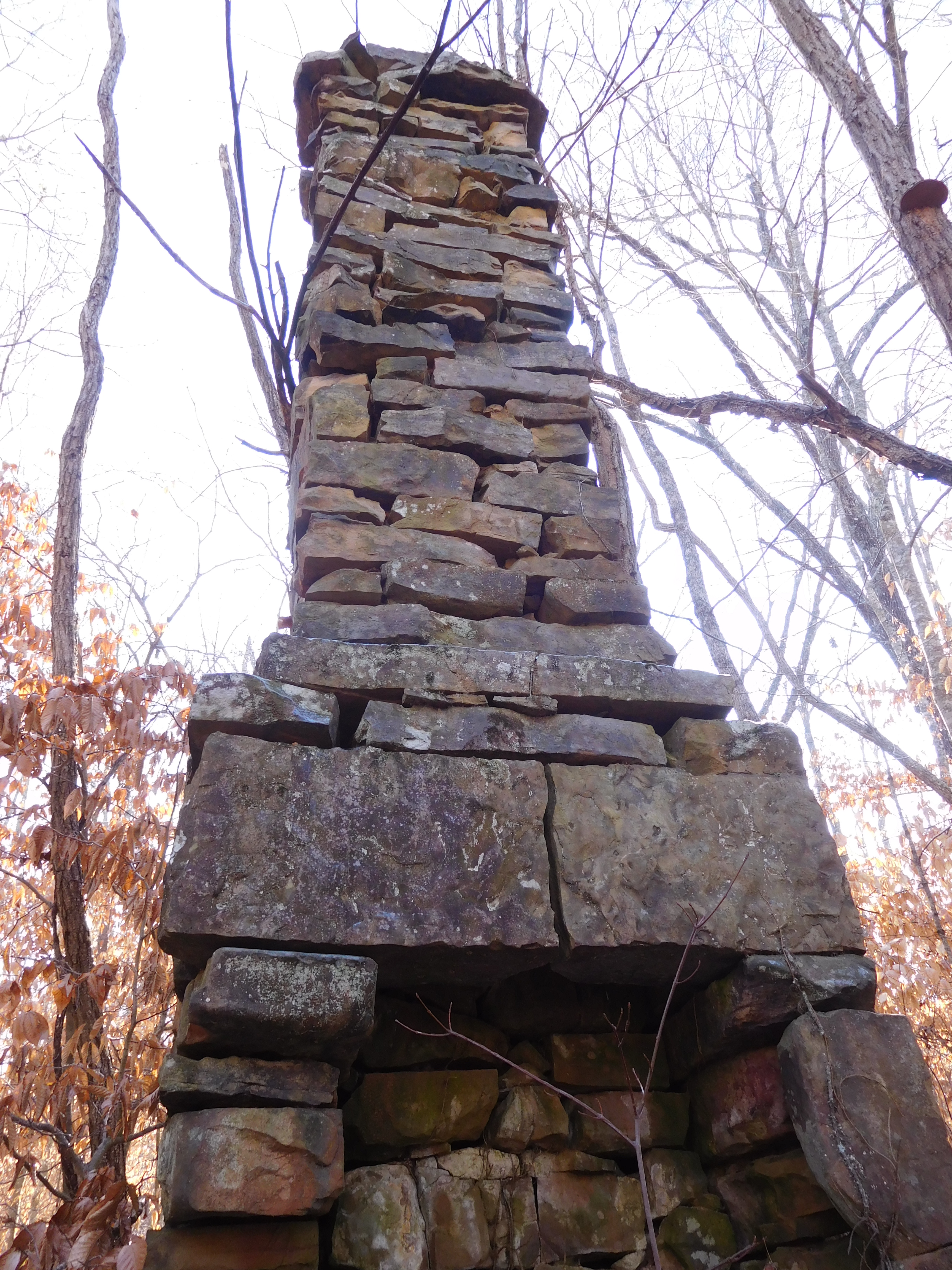
Old Homesite Chimney
35.85417°, 93.42987°
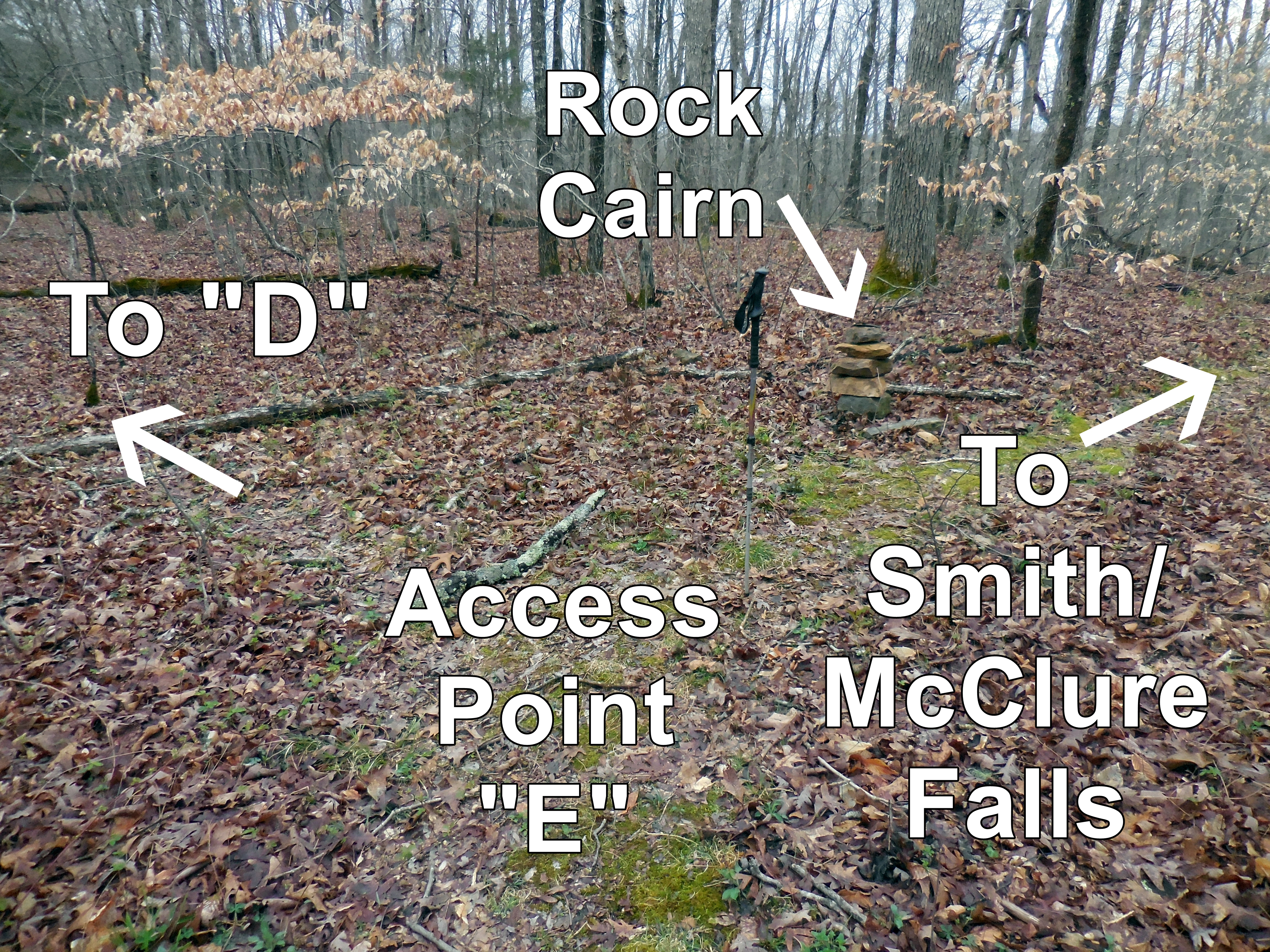
Access Point "E"
35.84976°, 93.43219°
Access Point "D"
35.84998°, 93.43038°
.jpg)
Access Point "F"
35.84539°, 93.42631°
Access Point "G"
35.84421°, 93.42659°
Access Point "H"
35.84524°, 93.42447°
WF #3 Upper Upper Smith Falls
35.84376°, 93.42626°
.JPG)
WF #3 Upper Smith Falls
35.84375°, 93.42615°
.JPG)
WF #4 Upper McClure Falls
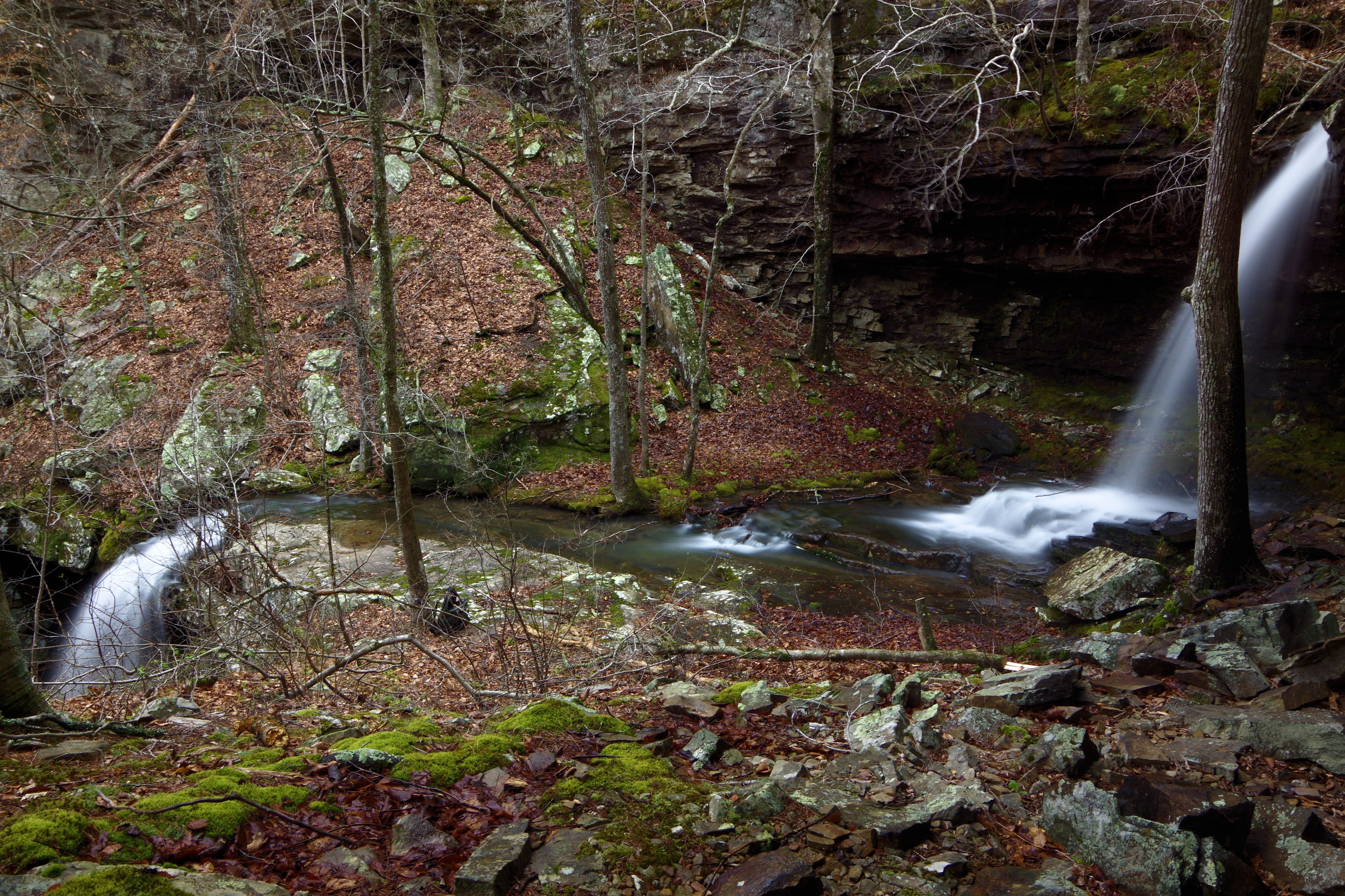
WF #4 Upper & Lower McClure Falls
35.84550°, 93.42568°
WF #4 Lower McClure Falls
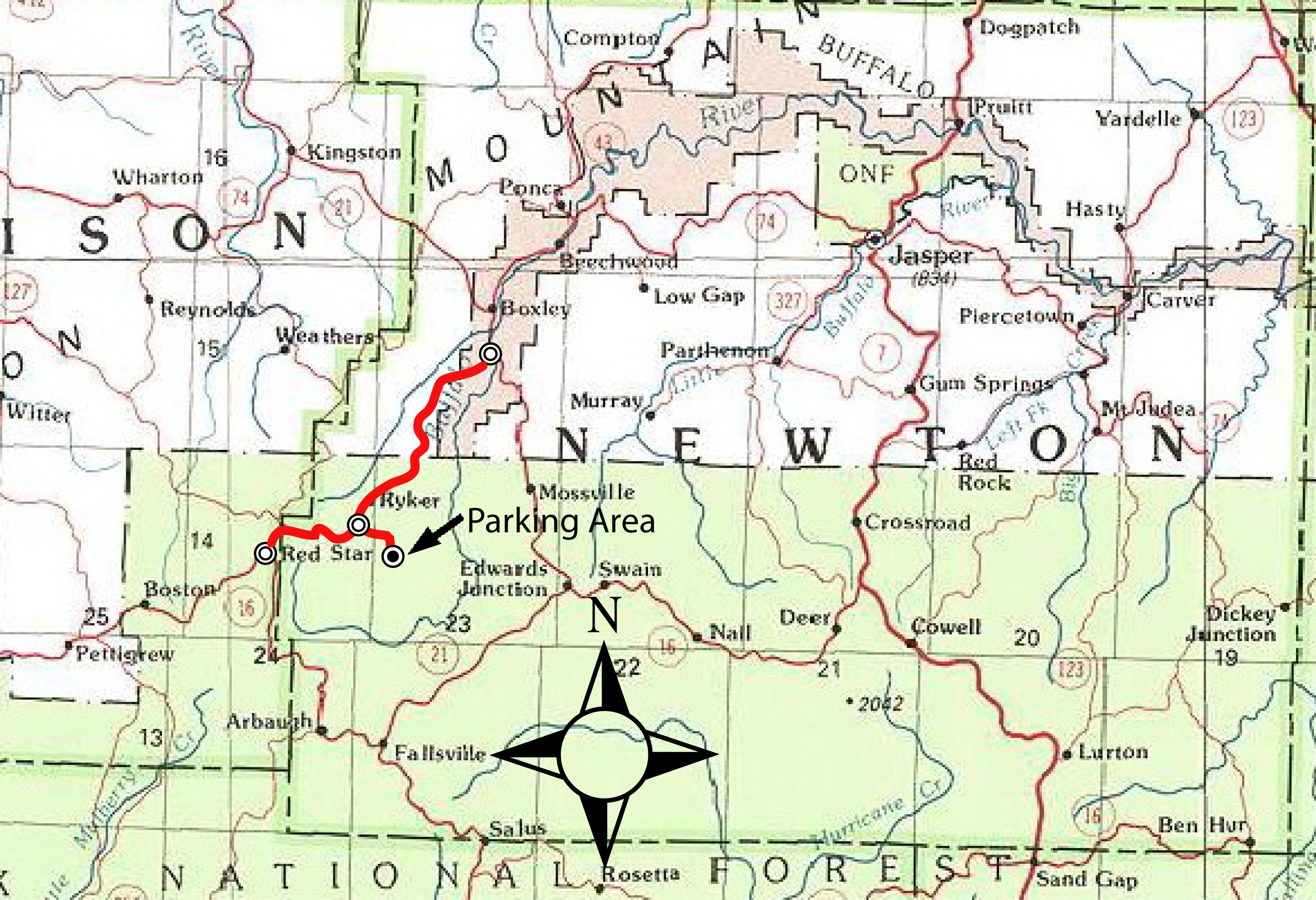
Location Map
take Hwy. 21 south, 1.2 miles to Cave Mountain Road (NC ? ) across two bridges and right before the bridge over the Buffalo River; turn right,
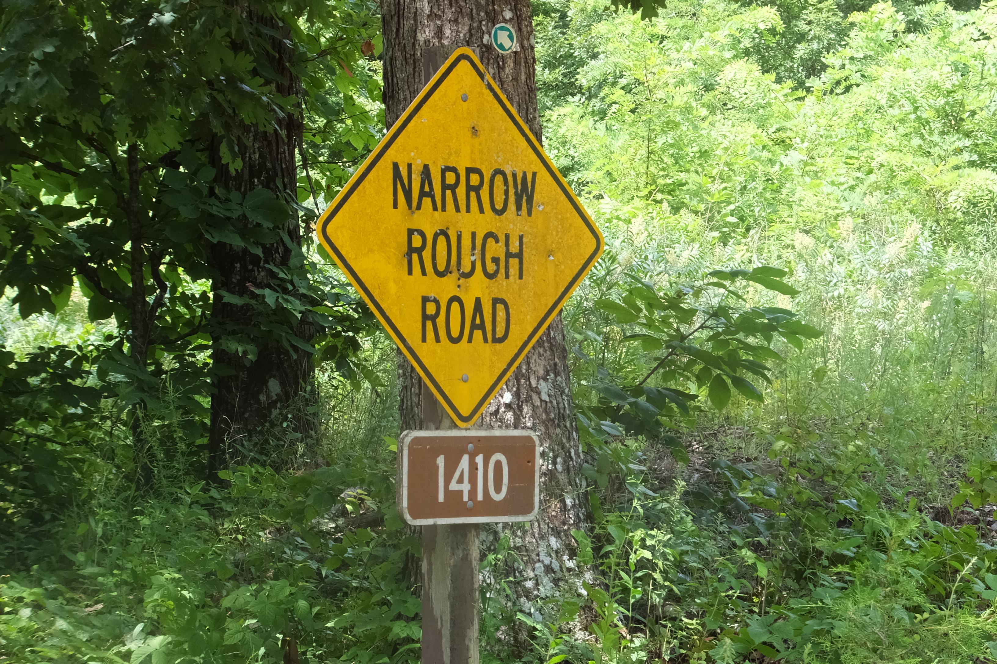
onto Cave Mountain Road and go 8.6 miles past Cave Mt. Church (5.5 mi) and Hawksbill Crag Trailhead (6.0 mi) to Forest Road 1410;
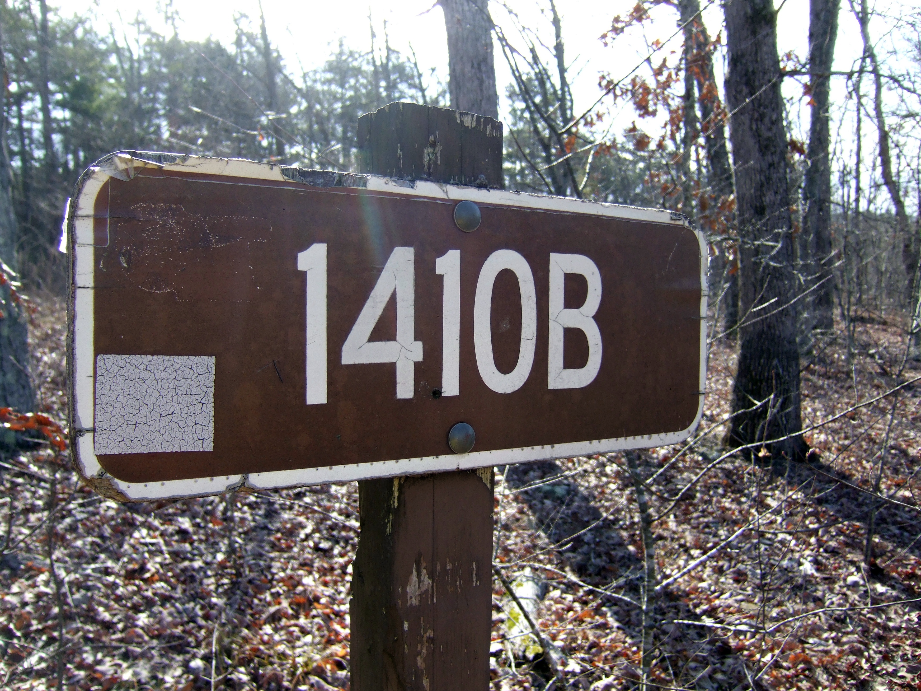
turn left (east)on Forest Road 1410 and go 1.6 miles to first parking area. You can turn on Forest Road 1410B and go another 0.5 miles and park.
From Red Star take Hwy. 16 east, 0.6 miles to Cave Mountain Road; turn left (north) onto Cave Mountain Road and go 4.2 miles to Forest Road 1410;
turn right (east) onto Forest Road 1410 and go 1.6 miles to first parking area. You can turn on Forest Road 1410B and go another 0.5 miles and park.