.jpg)
| TAKAHIK River Valley Hikers |
| Home Scheduled Hikes Pictures Videos Membership Links Trails & Waterfalls Mushrooms Products In Memory Of |
| BROCK CREEK TRAILS |
|
|
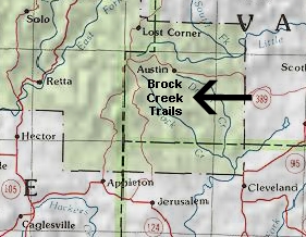 Location Map |
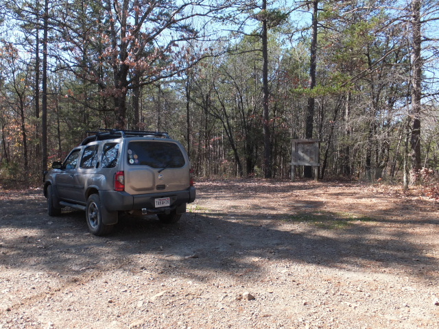
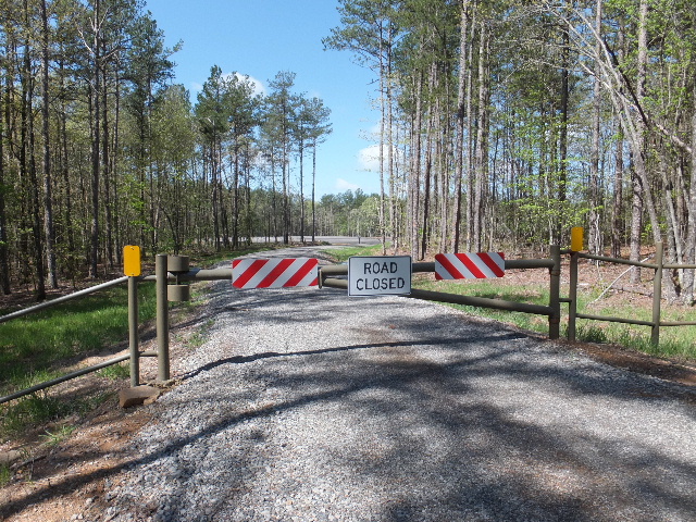
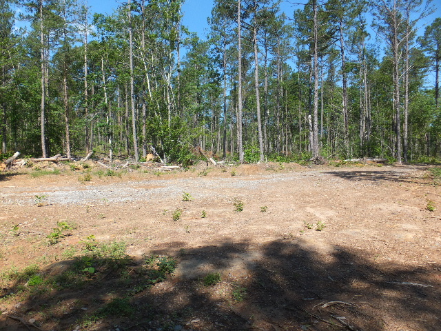
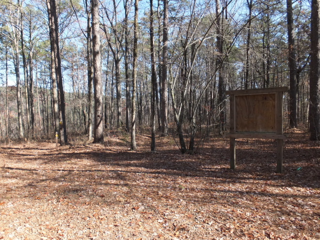 Parking Area "A" (Mtn. Man Trailhead) 35.52995°, 92.83918° |
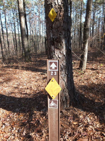 Trail #23 at Mtn. Man Trailhead |
 Parking Area "B" Forest Road 93004B 35.54031°, 92.82464° |
 Parking Area "D" Austin Trailhead 35.53615°, 92.80377° Forest Road 1338 |
 Parking Area "E" & Campsite 35.52963°, 92.80266° |
 Parking Area "F" Jobes Way 35.54143°, 92.79749° |
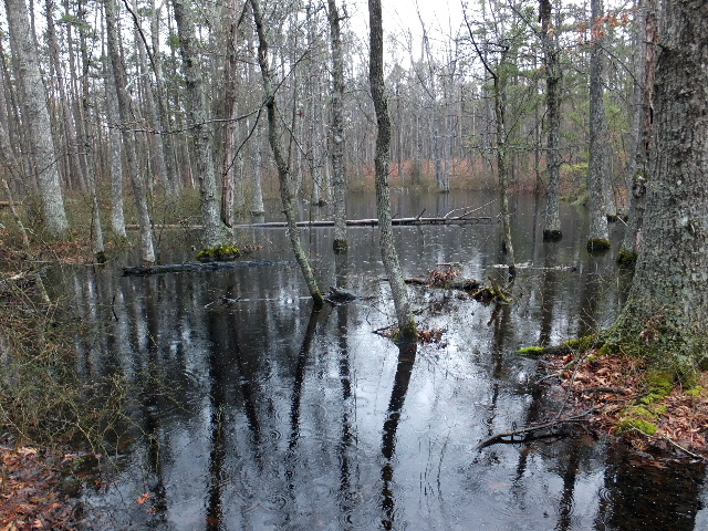 Upland Swamp 35.53409°, 92.80429° |
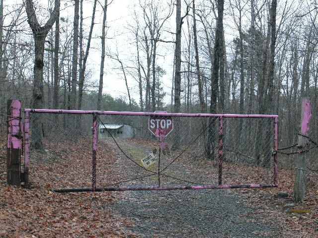
 Gas Well & Pad Entrance 35.53948°, 92.80897° |
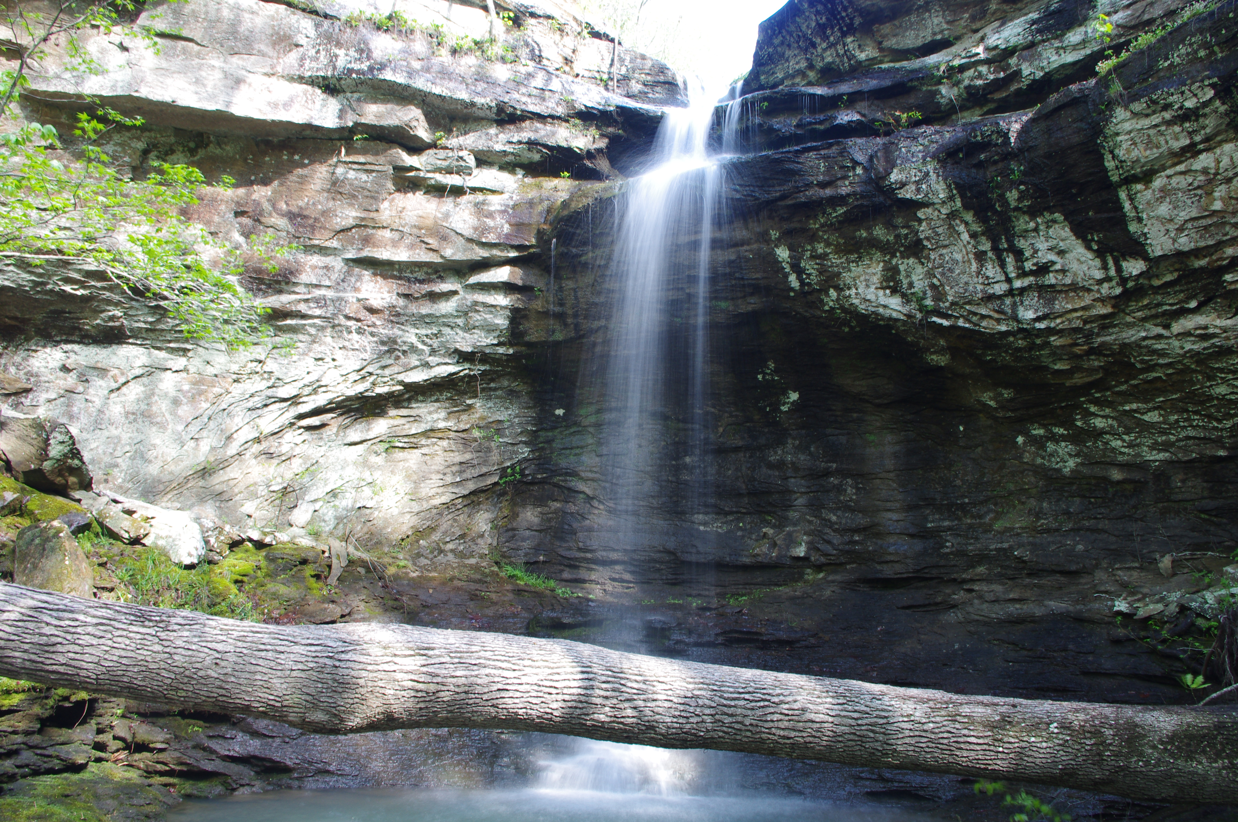
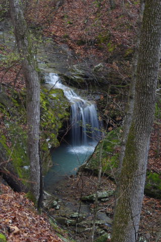
.JPG) WF #1 Whiskey Chute Falls |
.JPG) WF # 1 Whiskey Chute Falls 35.53084°, 92.83022° |
.JPG) WF #1 Whiskey Chute Falls |
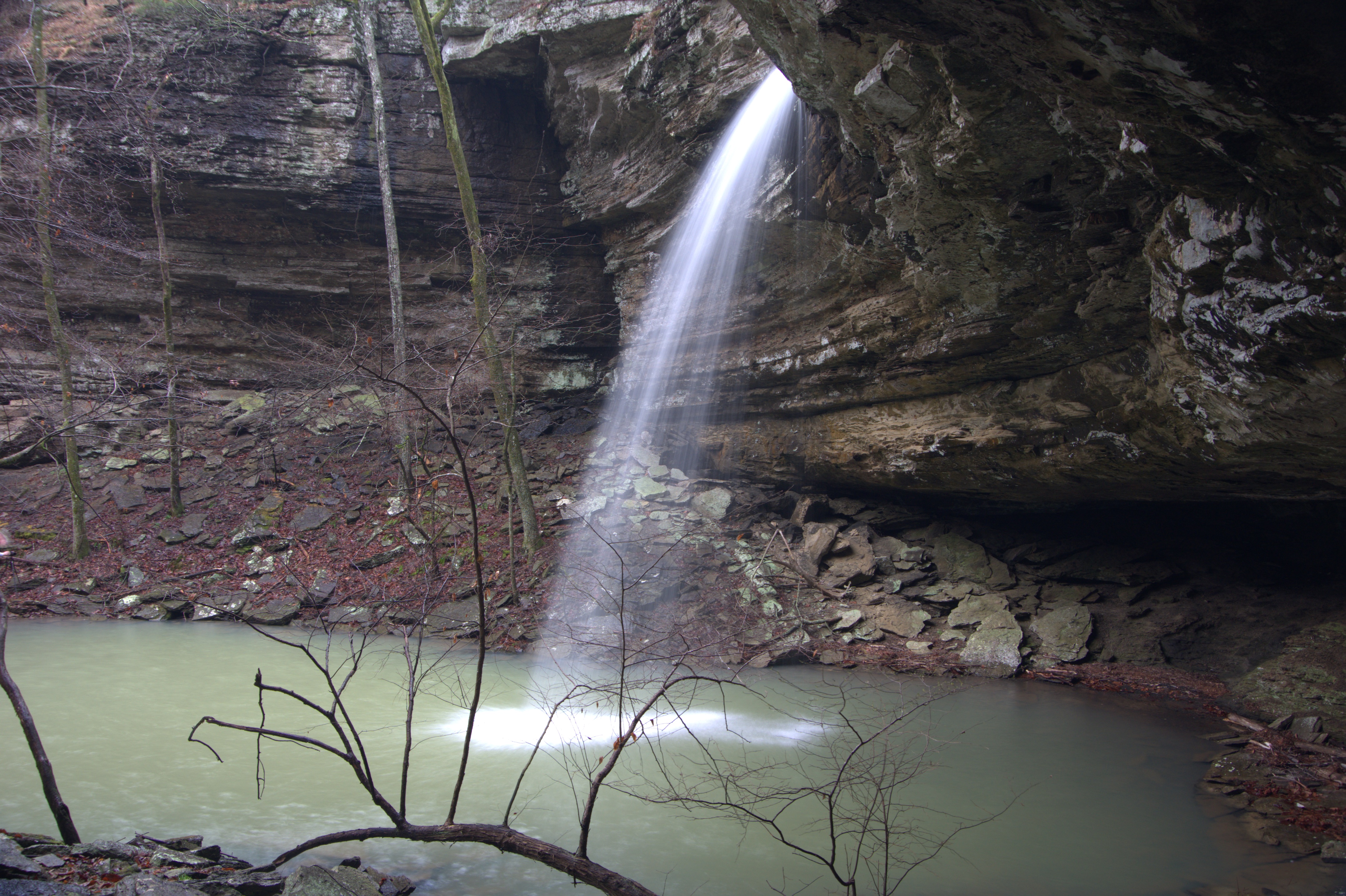
.JPG) WF #2 Voices Falls |
 WF #2 Voices Falls 35.53660°, 92.82390° |
.JPG) WF #2 Voices Falls |
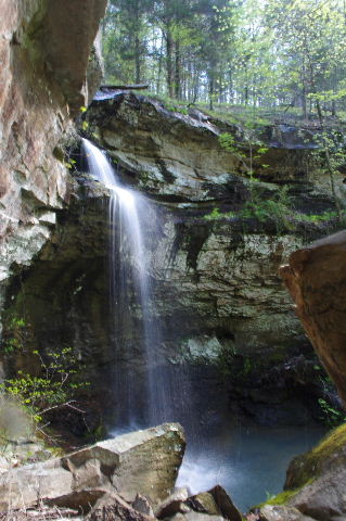 WF #2 Voices Falls |
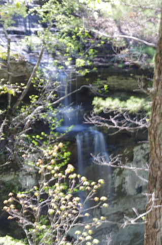
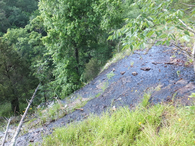
.JPG) WF #3 35.53560°, 92.82321° |
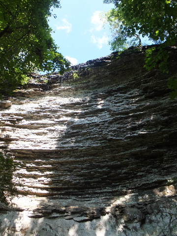
 WF #4 Iris Falls 35.54018°, 92.81531° |
.JPG) WF #5 35.53150°, 92.81337° |
 WF # 5 |
.JPG) WF #6 35.53157°, 92.81323° |
.JPG) WF#7 Lizard Log Falls |
 WF #7 Lizard Log Falls 35.53297°, 92.81144° |
.JPG) WF #7 Lizard Log Falls |
.JPG) WF #8 |
.JPG) WF #8 35.52888°, 92.79895° |
.jpg) WF #8 |
.JPG) WF #9 Schoolhouse Falls |
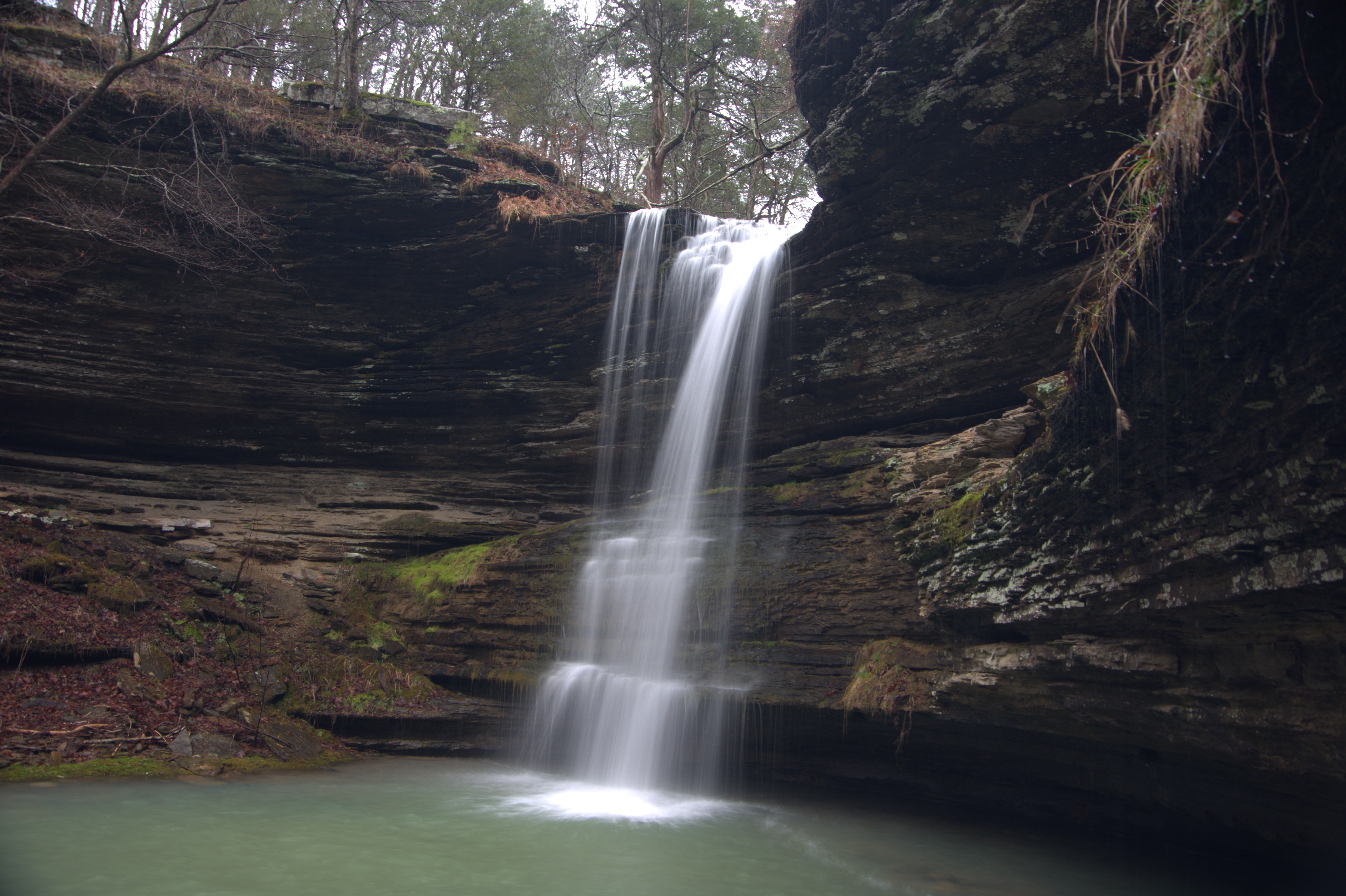 WF #9 Schoolhouse Falls 35.53019°, 92.79877° |
 WF #9 Schoolhouse Falls |
.JPG) WF #9 Schoolhouse Falls |
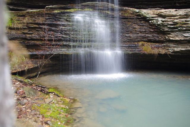
.JPG) WF #10 35.53043°, 92.79868° |
.JPG) WF #10 |
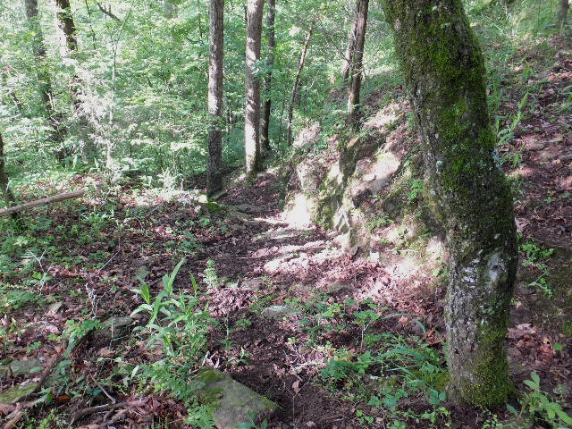
 Access "L" 35.55179°, 92.79765° Intersection of Roads |
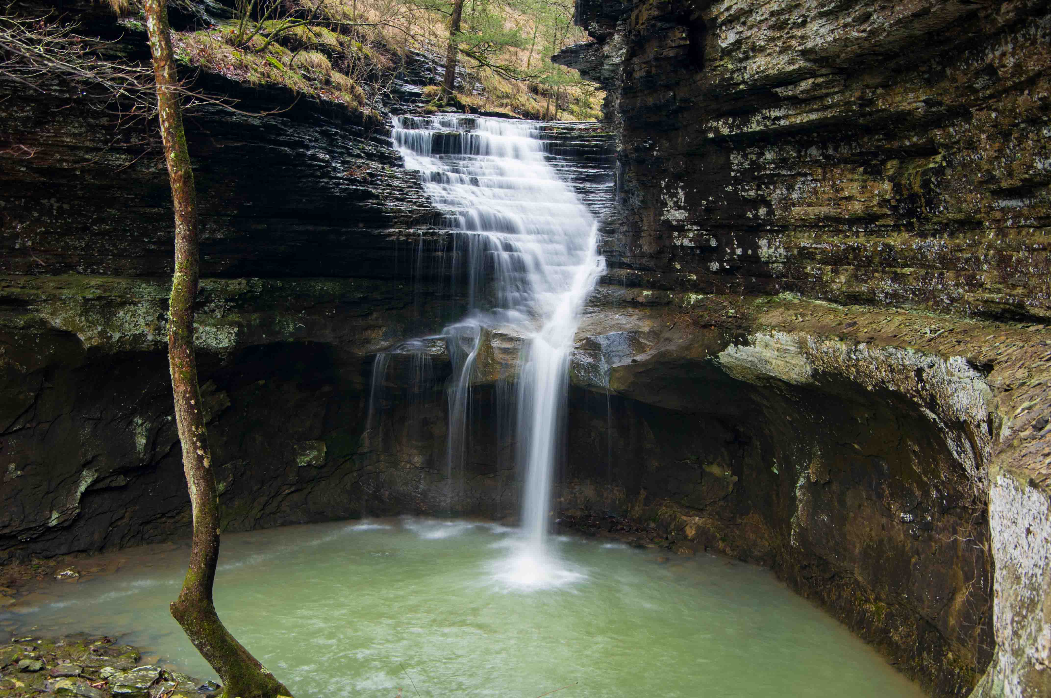
 WF #12 Top of John Mt. Pouroff 35.54999°, 92.79444° |
 Access "M" 35.55062°, 92.79357° |
 WF #12 Bt. of John Mt. Pouroff |
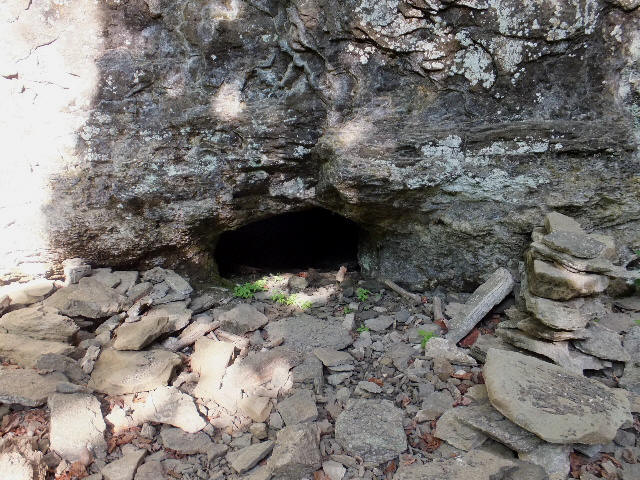 Bear Cave at Bt. of John Mt. Pouroff 35.54990°, 92.79403° |
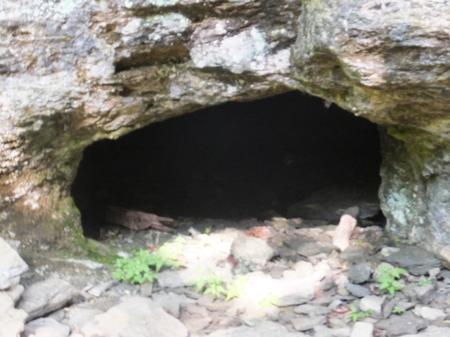 Bear Cave |
.JPG) WF #11 Ladderbucket Falls |
 WF #11 Ladderbucket Falls 35.54868°, 92.79469° |
.JPG) WF #11 Ladderbucket Falls |
 WF #13 John Mt. Falls 35.55112°, 92.79336° |
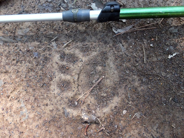 Noticed several bear tracks on the road hiking back out. |
.JPG) It wasn't long until I spotted a momma bear and her cub. The cub headed up a tree while momma watched from a distance. |