.jpg)
| TAKAHIK River Valley Hikers |
| Home Scheduled Hikes Pictures Videos Membership Links Trails & Waterfalls Mushrooms Products In Memory Of |
| BUZZARD ROOST SPECIAL INTEREST AREA |
 Treat Road sign, aka FR 1805, CR 14 and Maupin Flat Road |
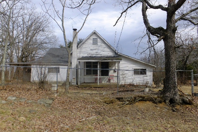 Existing house belonging to Bobby and Virginia Waterman Merritt DO NOT Park in driveway |
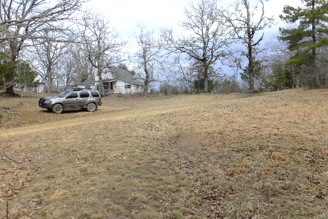 Parking Area along road 35.63663°, 93.15798° The field across the road from the house is on private property. |
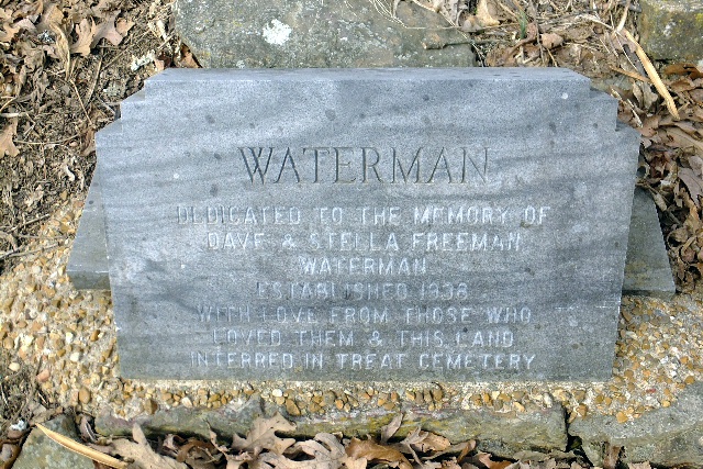 Monument on east side of house inside chainlink fence. |
 The monument, to the left, is located on the east side of the house and it reads: Dedicated to the memory of Dave and Stella Freeman Waterman. Established 1938 with love from those who loved them and this land. Interred in Treat Cemetery. |
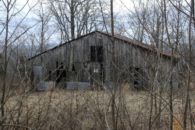 Barn |
.JPG) Trailhead |
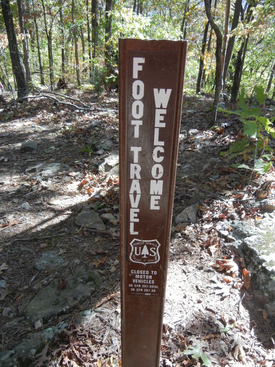
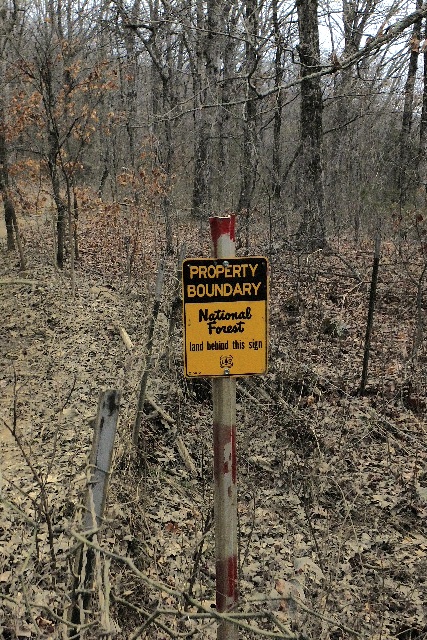 Entering Ozark National Forest |
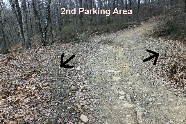 2nd Parking Area (Two or three parking spaces) |
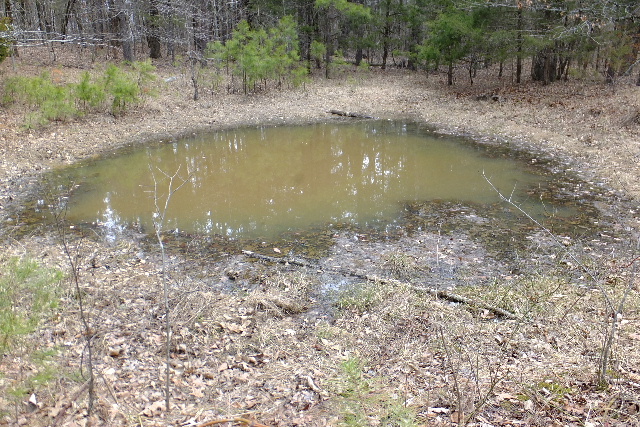 Wildlife Pond |
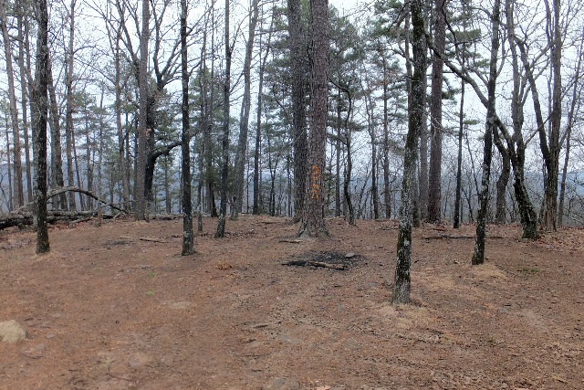
.JPG) Access Point "A" Main Intersection 35.63522°, 93.13565° |
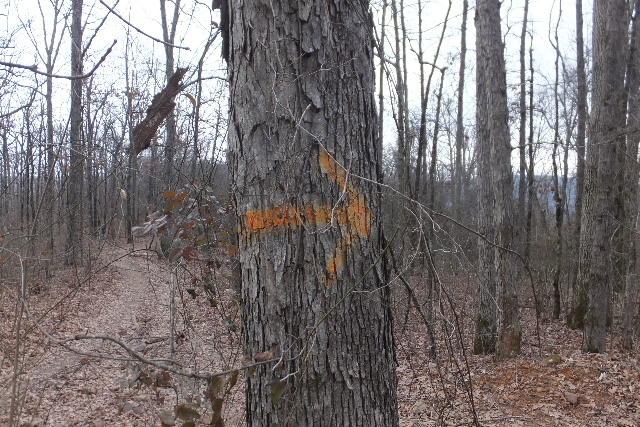 Arrow marking way to Buzzard Roost |
.JPG) Access Point "B" Intersection to Natural Bridge 35.63570°, 93.13420° |
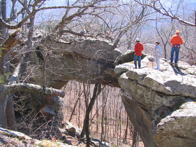
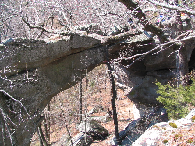
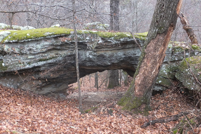
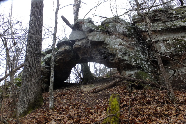
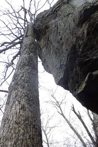
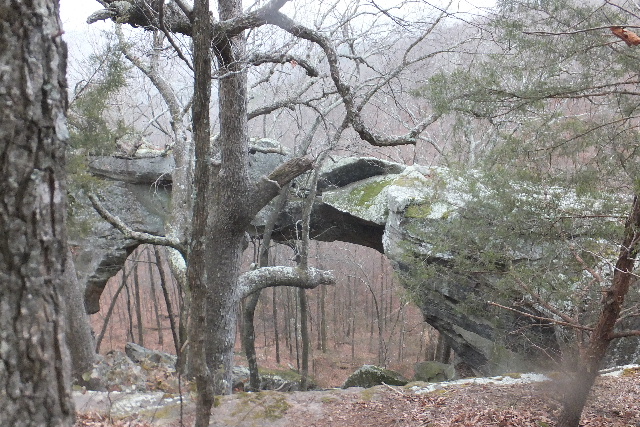 Natural Bridge (Rainbow Rock) 35.63525°, 93.13313° |
 Photo by The Natural Arch & Bridge Society |
 |
 |
 |
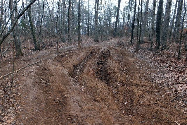 Road to Buzzard Roost from Main Intersection |
 |
 Primitive Camping Area 35.63412°, 93.13427 (Walk through camp to access Buzzard Roost) |
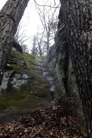
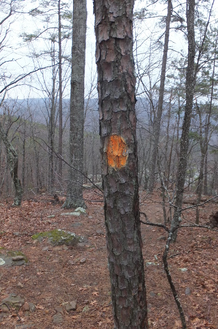 Painted tree marks trail to Roost |
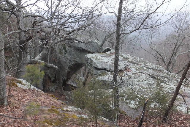
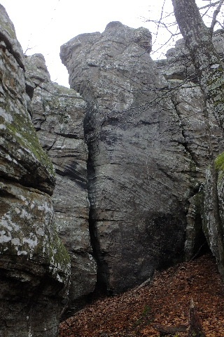
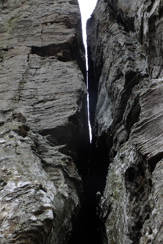
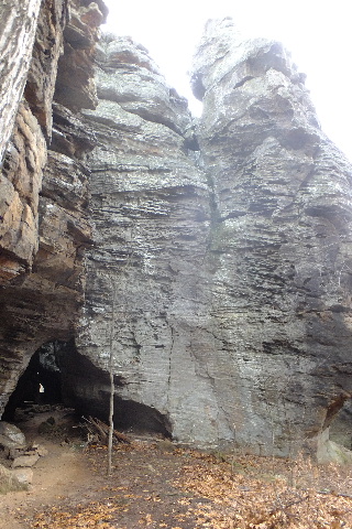
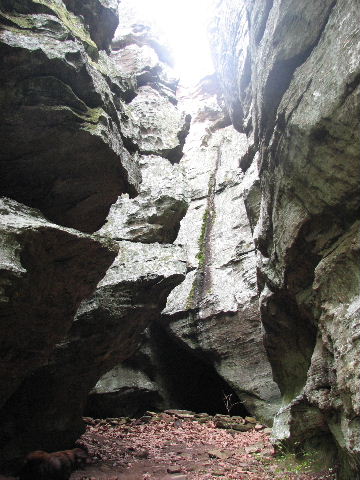
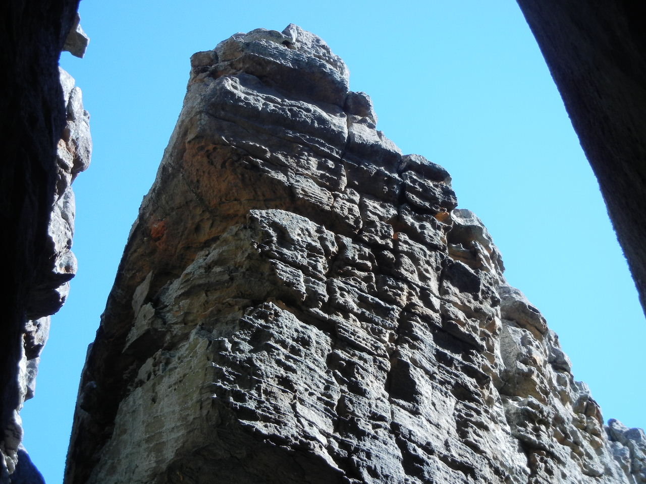
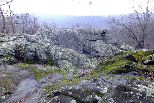 Buzzard Roost 35.63372°, 93.13343° |
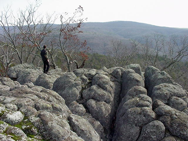 Looking SE from Roost |
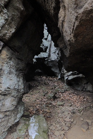
 Small Arch on left side of Roost |
 Small Arch 35.63427°, 93.13345° Begin your hike down to the Small Arch and make your way around to the right along the bottom of Buzzard Roost. |
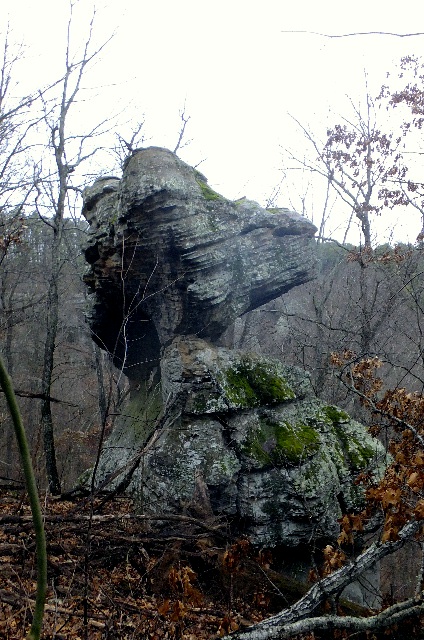 Frog Head Rock |
 |
 |
 |
 |
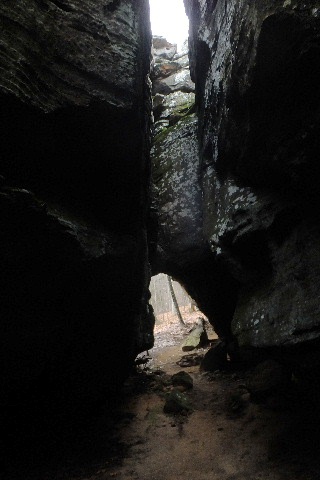
 Entrance to Cave |
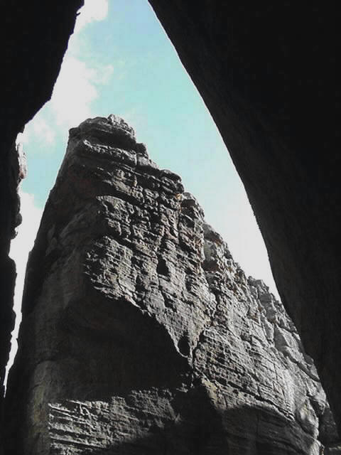
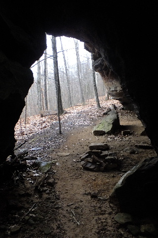 Inside Cave looking out |
 |
 |
 |
 The King's Castle |
 |
 Water Slide |