.jpg)
Parking Area "A" 36.08359°, 93.23349° Parking Area "B" 36.10523°, 93.26787°
| TAKAHIK River Valley Hikers |
| Home Scheduled Hikes Pictures Videos Membership Links Trails & Waterfalls Mushrooms Products In Memory Of |
| CECIL COVE LOOP, HIDEOUT HOLLOW, McFERRIN POINT, THUNDER CANYON & BROADWATER |
|
Parking Area "A" 36.08359°, 93.23349° Parking Area "B" 36.10523°, 93.26787° |
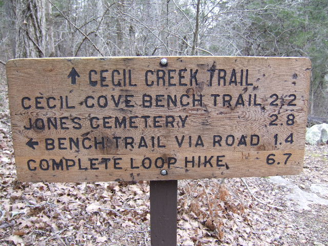
Parking Area "A" Cecil Cove Loop Trail |
||
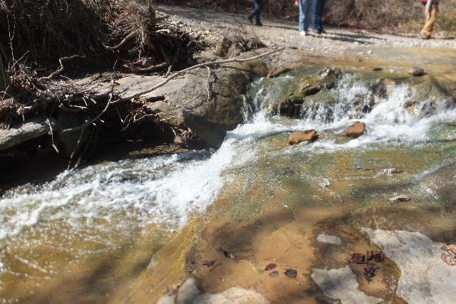
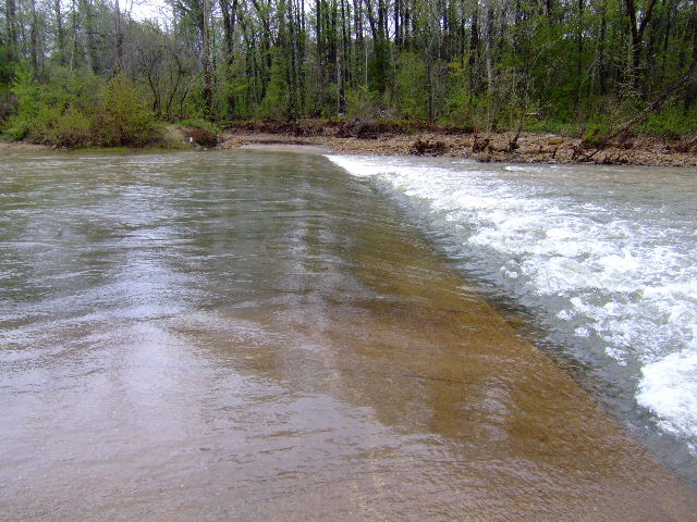 Crossing the Buffalo River heading to Erbie may be hard with river is UP! 36.07545°, 93.22472° |
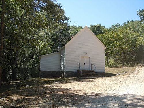 Old Erbie Church just before trailhead 36.08321°, 93.23279° |
.JPG) Erbie Trailhead & Parking Area "A" 36.08359°, 93.23349° |
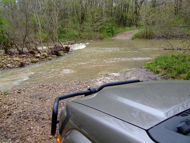 Even going to Erbie the "back way", crossing Cecil Creek & Cove Creek can be an obstacle during high water. 36.08848°, 93.22548° |
.JPG) Restrooms at Erbie Trailhead |
 |
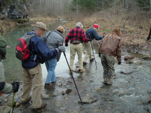 You will be crossing Cecil Creek several times! |
 Van Dyke Springs #17 (South side of Cecil Creek) 36.08563°, 93.23990° |
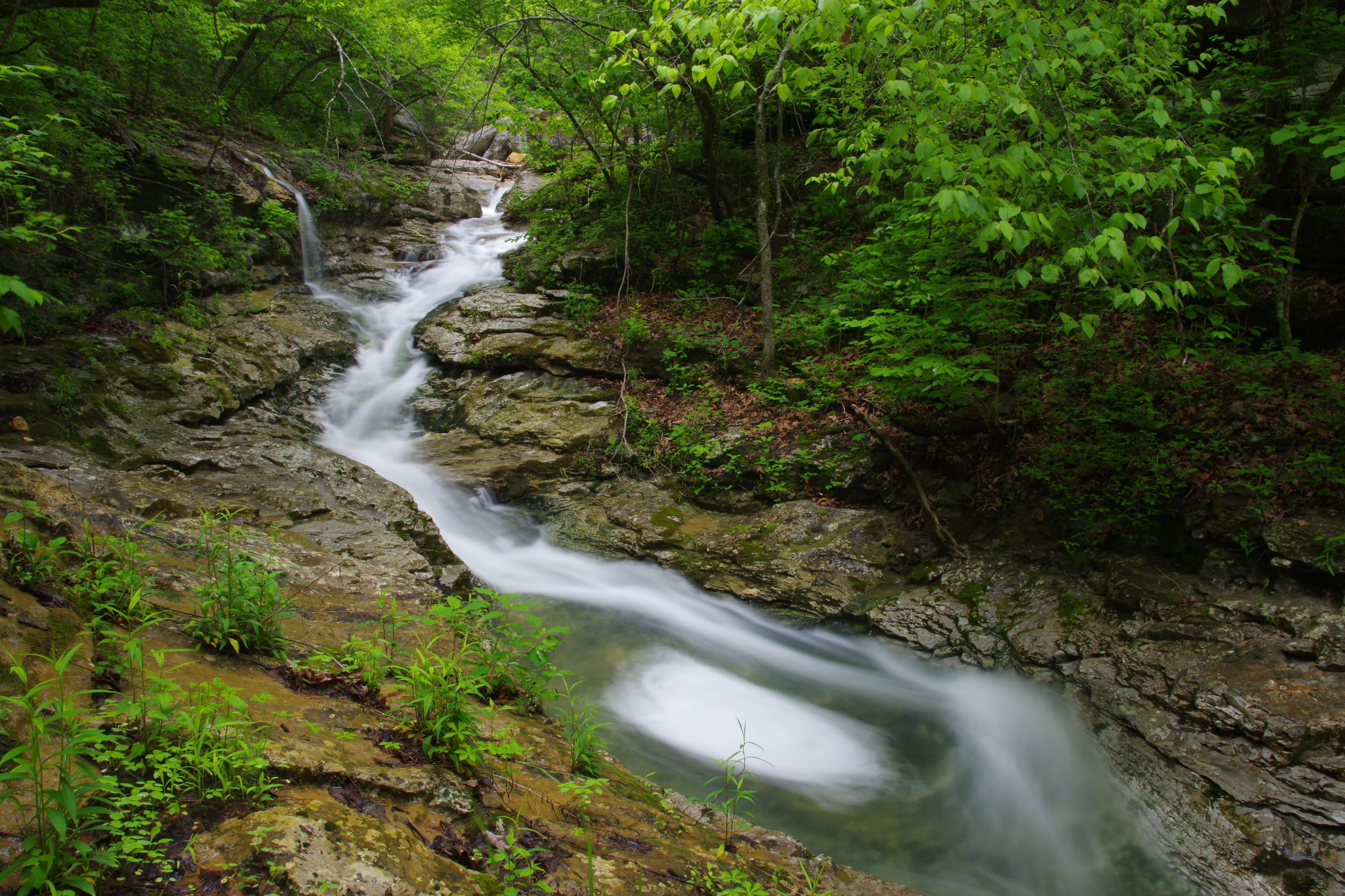
 After fourth crossing of Cecil Creek Access Point #18 36.08977°, 93.25267° head up creek going south to Thunder Canyon Falls |
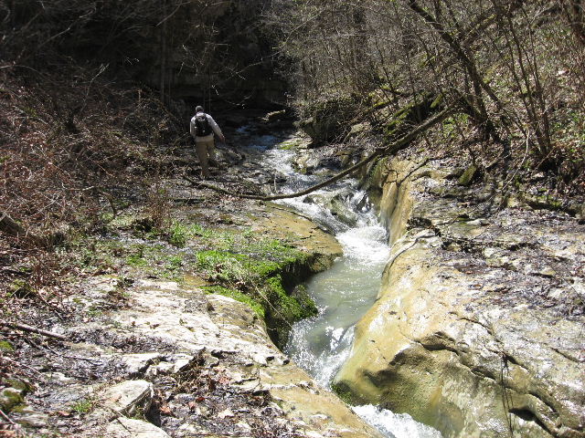 You will have to cross back and forth across this slot creek to Thunder Canyon. |
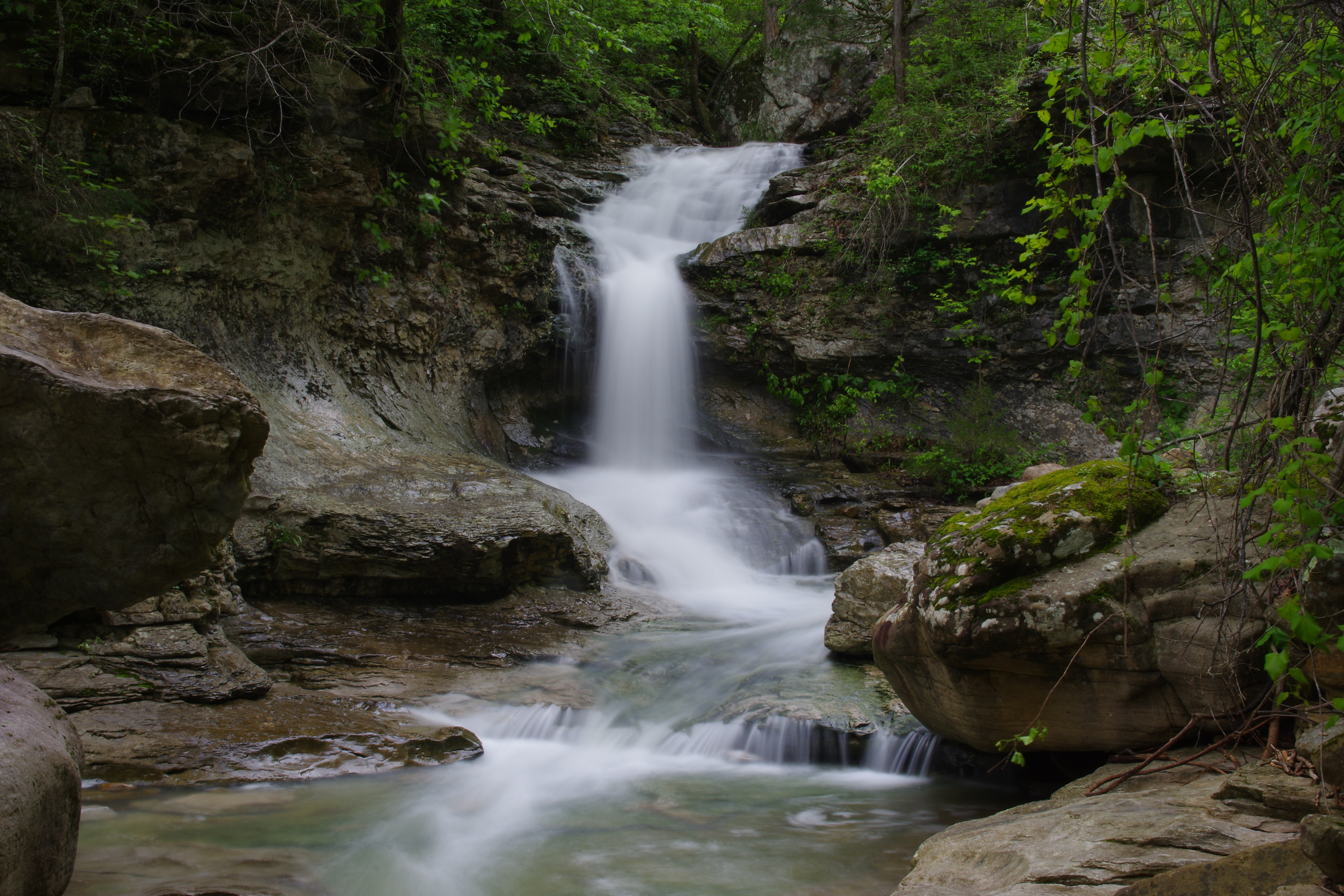
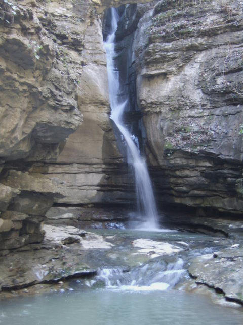 WF #19 Thunder Canyon Falls 36.08460°, 93.25428° |
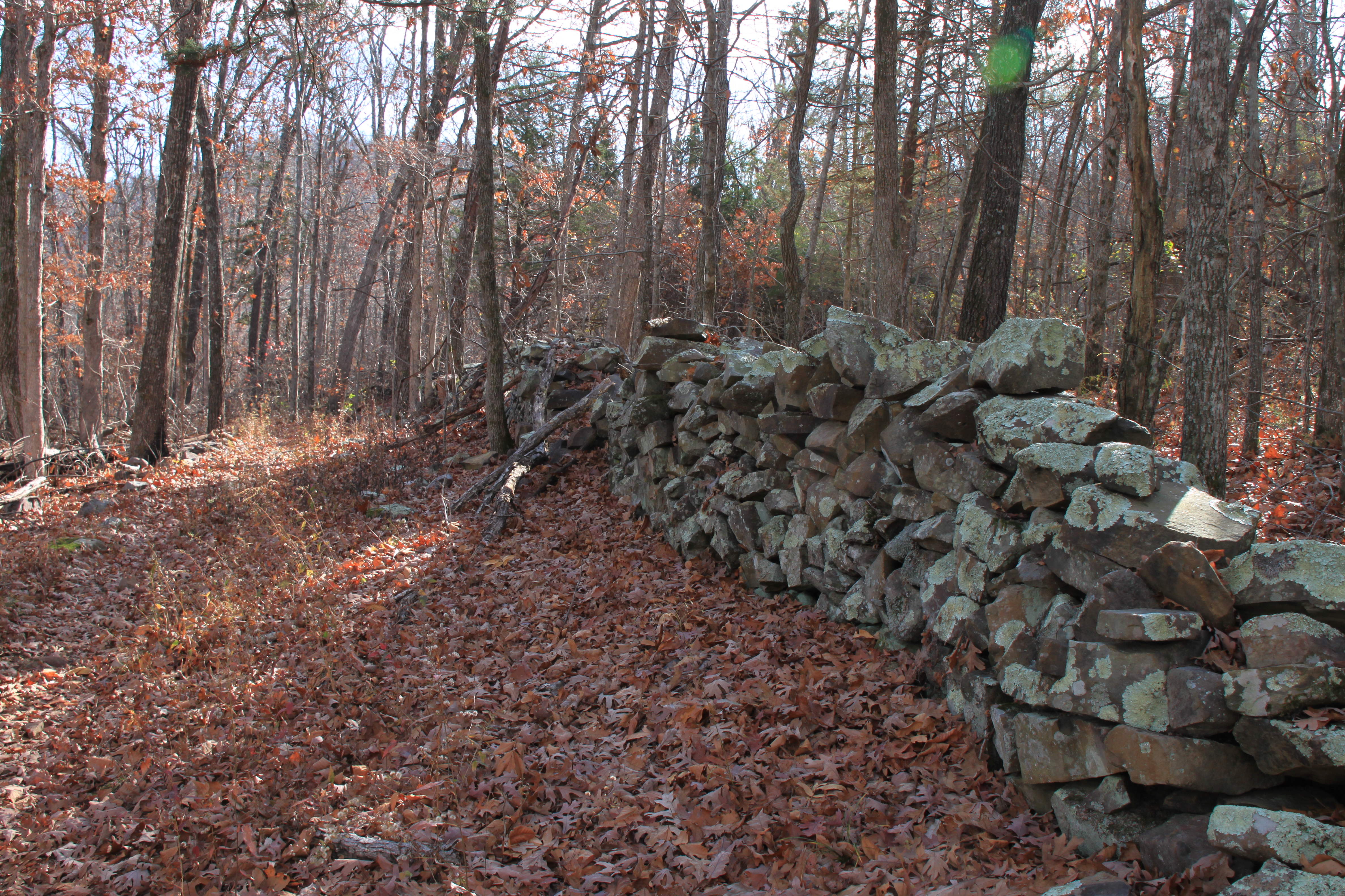
 #20 Rock Wall (Back on Cecil Cove Loop) 36.09418°, 93.25978° |
.JPG) Access Point #5 Intersection Sign 36.09740°, 93.26055° (From here you can head uphill to finish Cecil Cove Loop or head to the North and go to Broadwater and Paige Falls and Parking Area #2) |
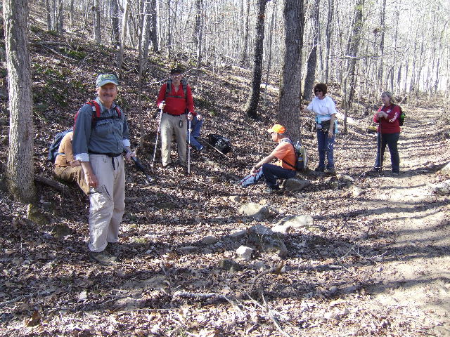
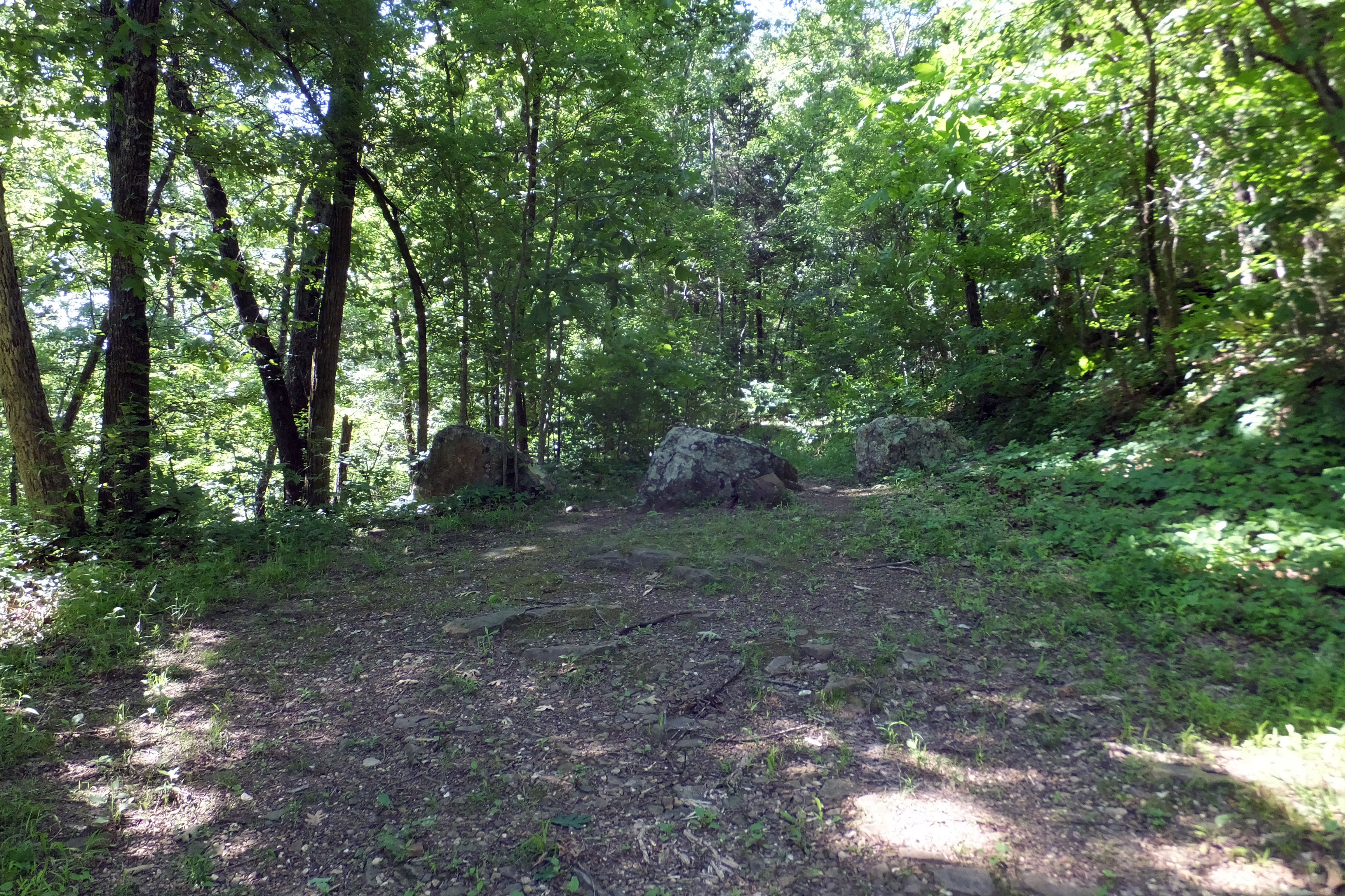
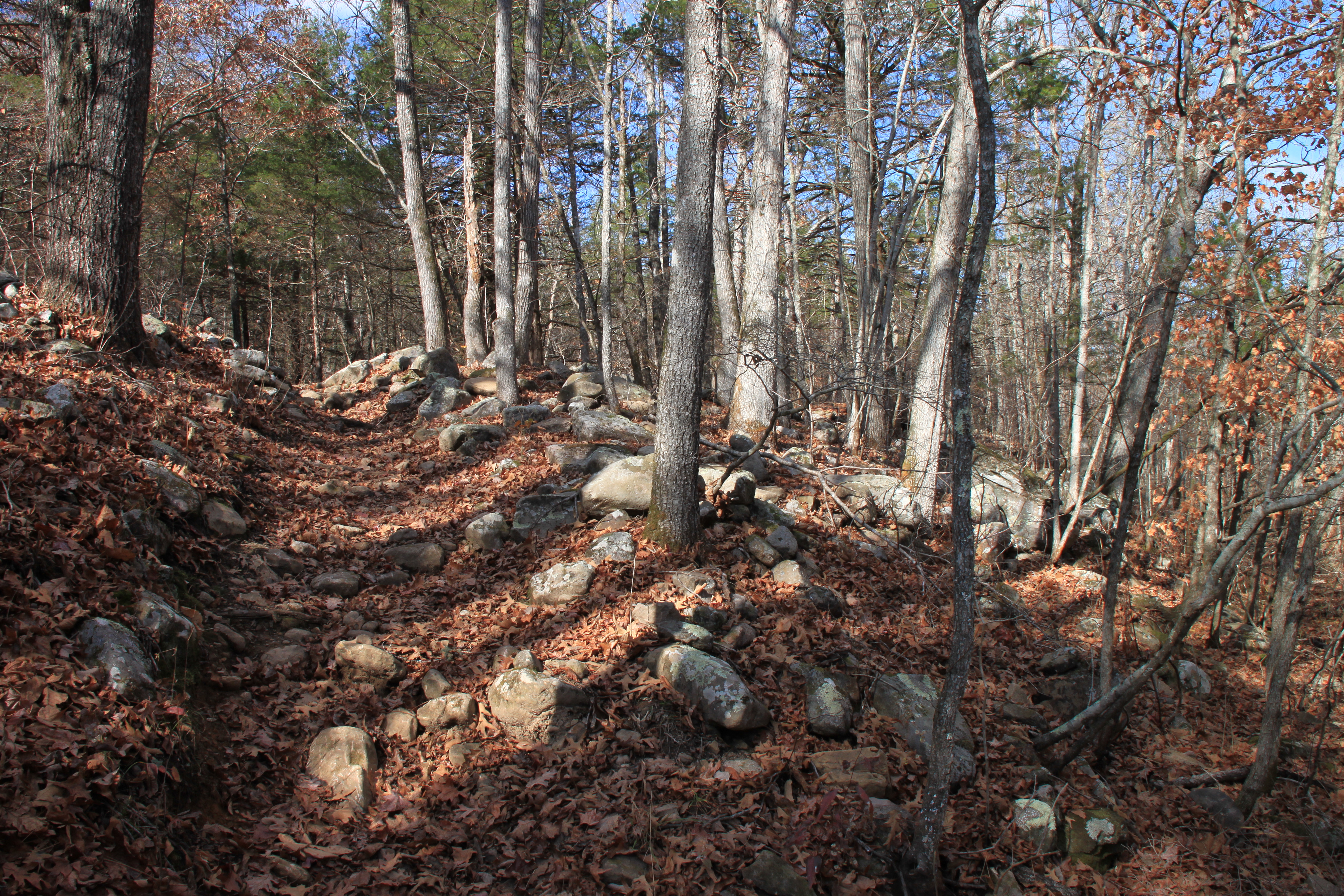 Cecil Cove Loop heading uphill (Pic by Exploring NW Ark) |
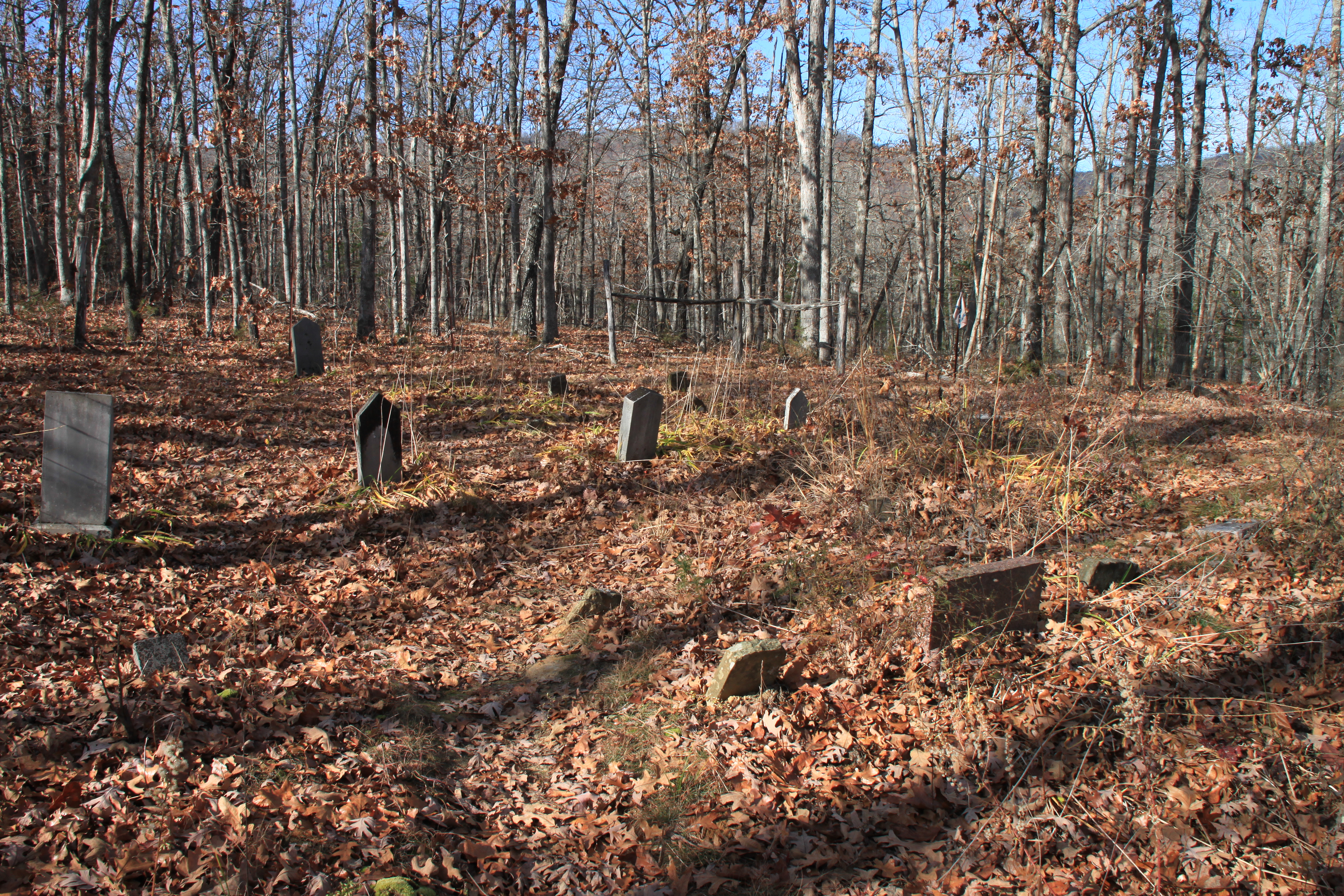 #7 Jones Cemetery 36.09610°, 93.26720° (Pic by Exploring NW Ark) |
 #8 Jones Homestead (Pic by Exploring NW Ark) |
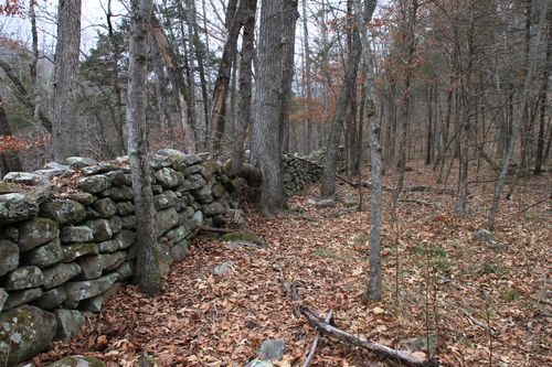
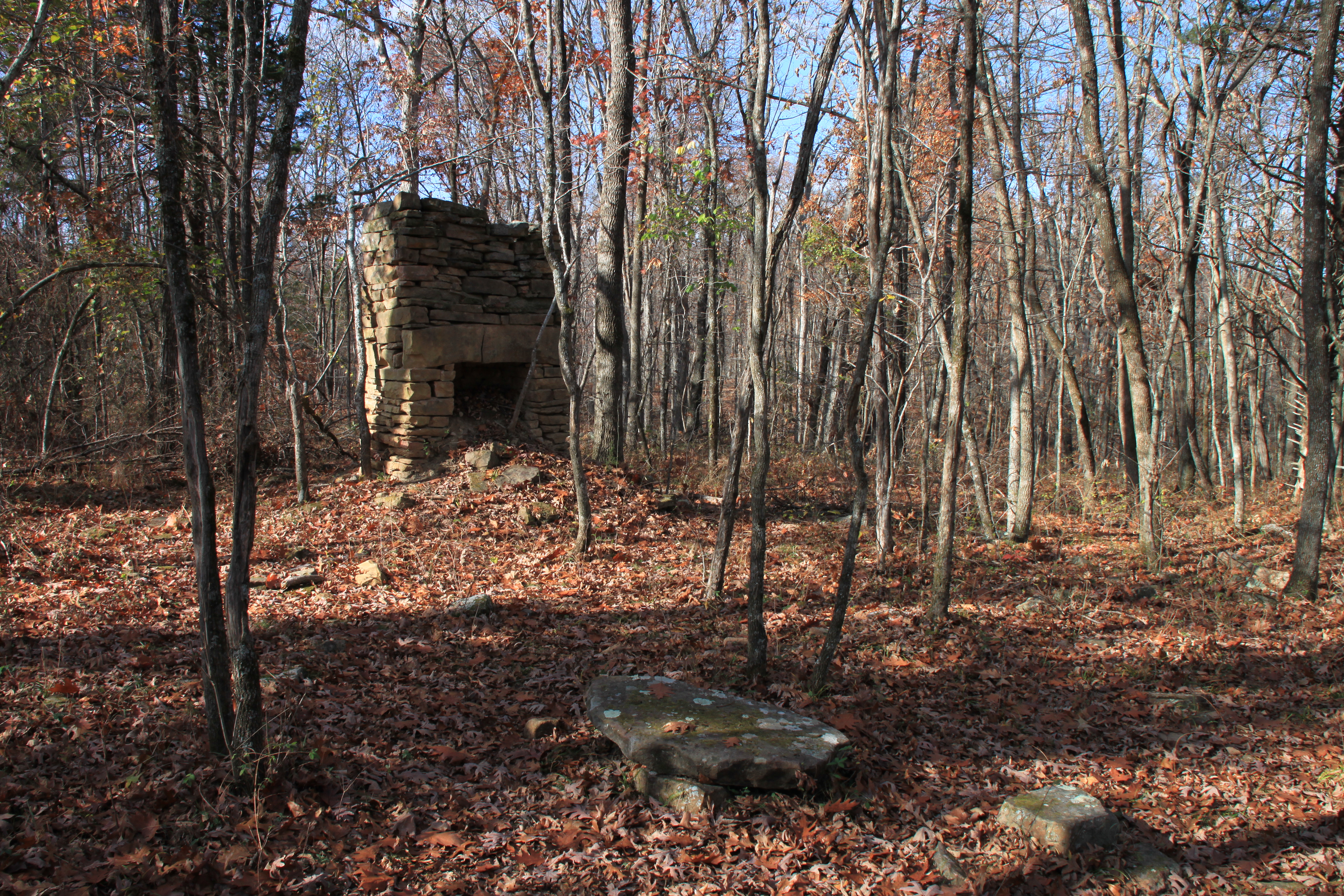
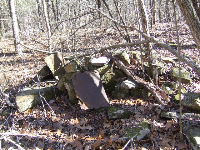
 Rock Wall of Faddis-Keaton Homestead (Pic by Exploring NW Ark) |
.JPG) #12 J.W. Farmers Homestead 36.07062°, 93.23810° |
.JPG) Access Point #9 36.07553°, 93.24975° |
 Access Point #10 35.07635°, 93.24869° |
 #15 Jones Farmstead 36.07793°, 93.22682° Access Point #11 36.07066°, 93.23827° Access Point #13 36.07567°, 93.23575° |
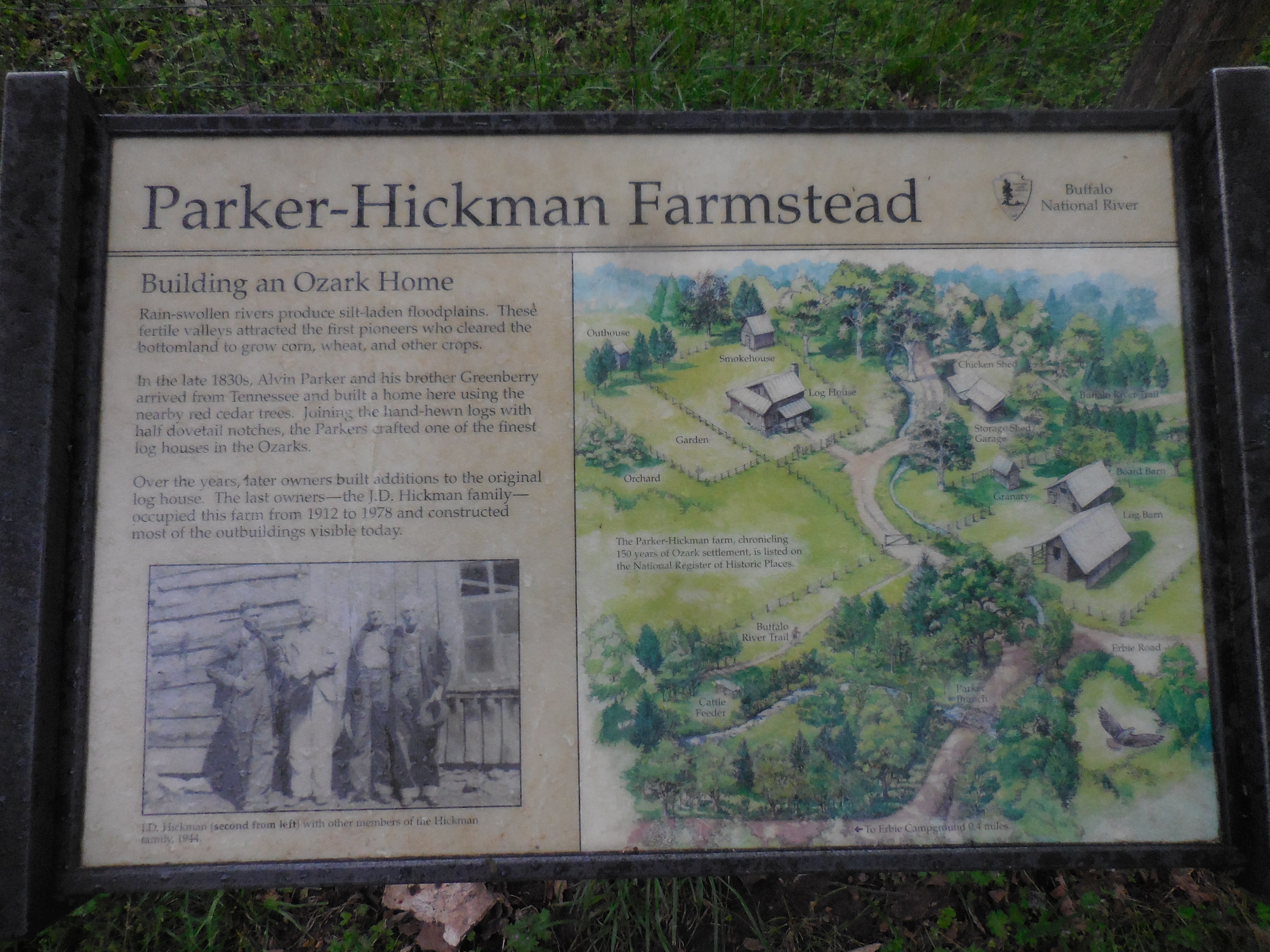 |
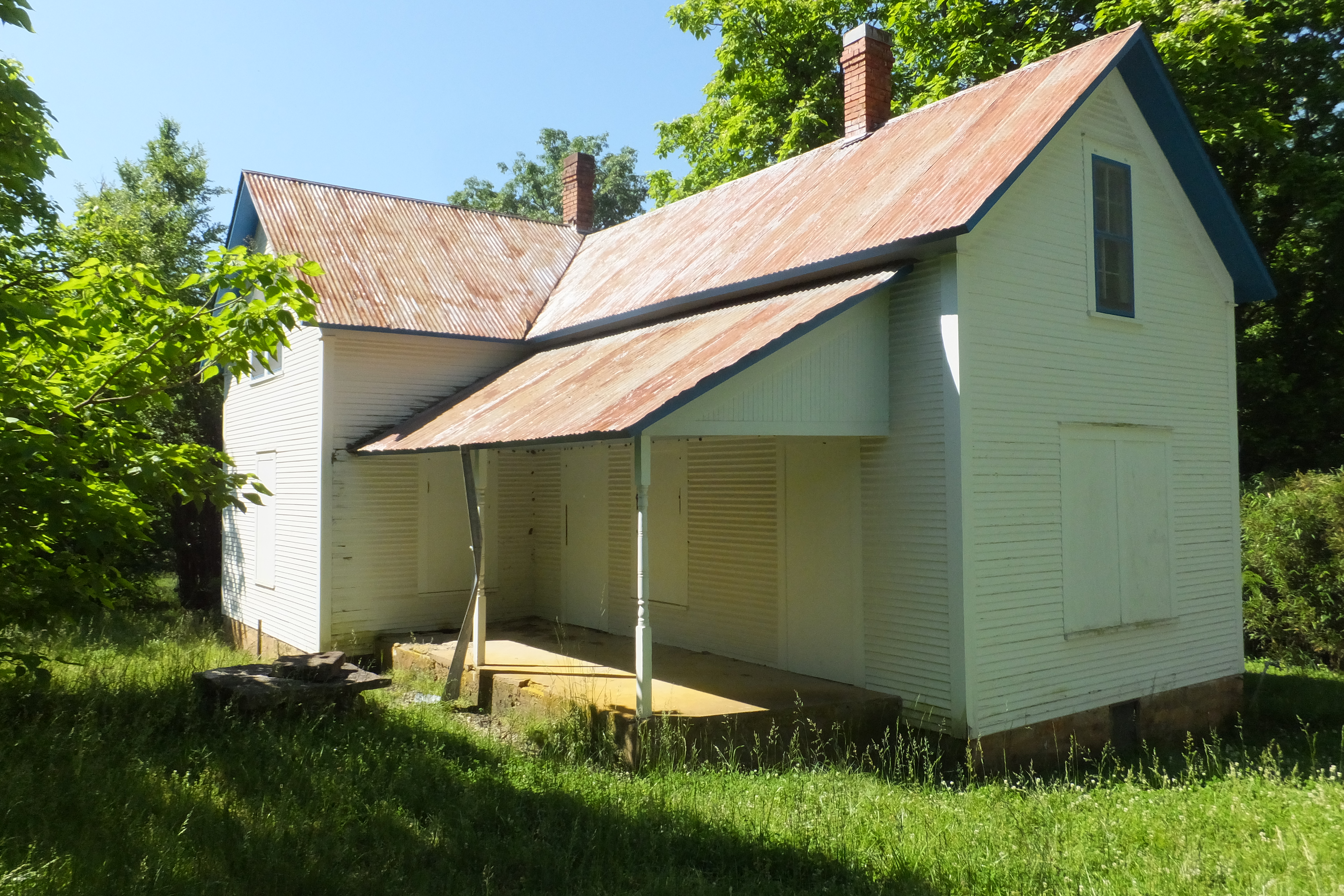
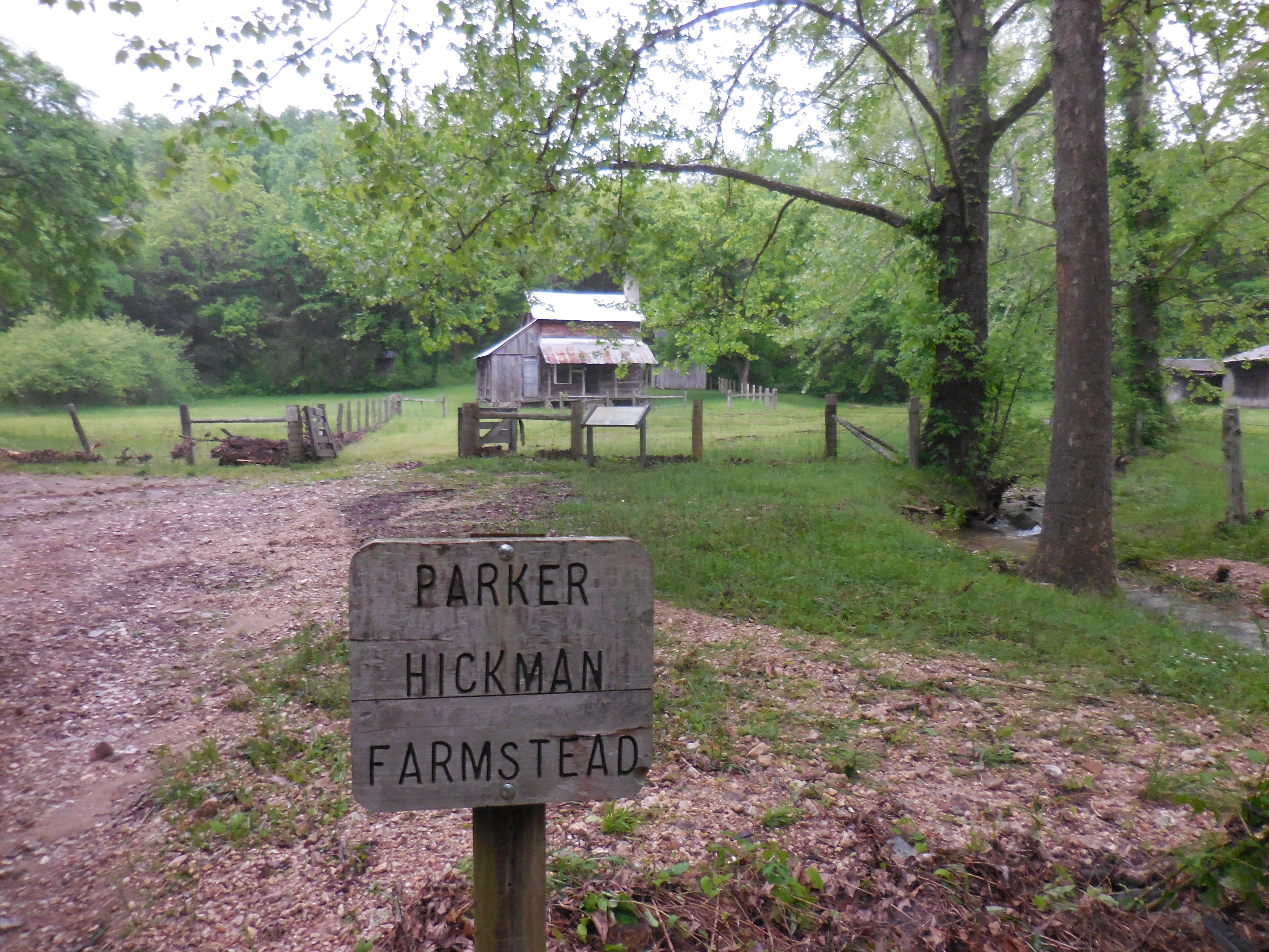
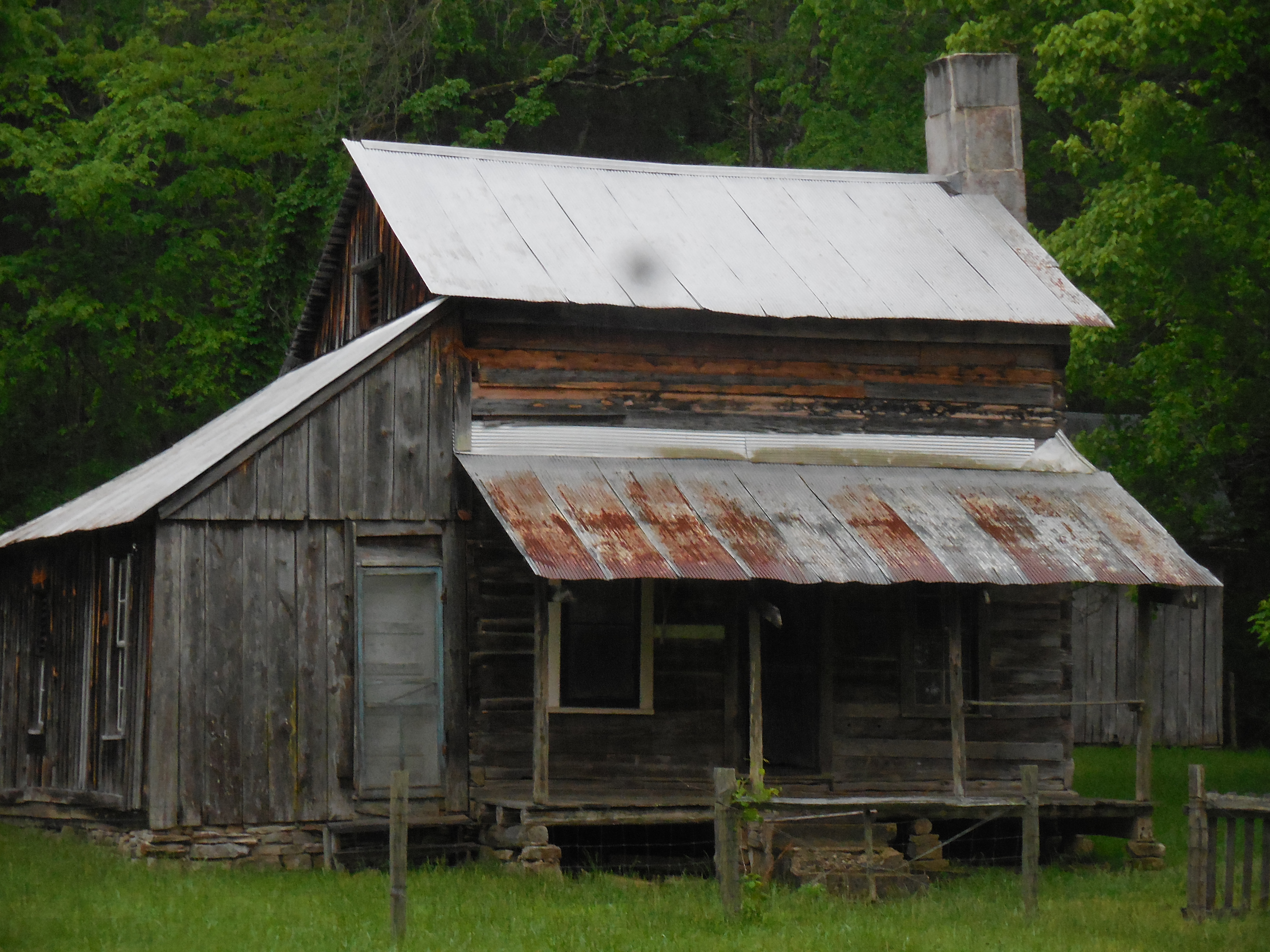 #16 Parker-Hickman Farmstead 36.07086°, 93.22290° |
 |
Parking Area "B" to Cecil Cove Loop Trail |
||
.jpg) Road to Parking Area "B" (Across highway from Volunteer Fire Dept. on Hwy. 43) 36.10242°, 93.29935° |
 Parking Area "B" 36.10523°, 93.26787° From here walk north along road to Broadwater Hollow. |
 Road at Broadwater Hollow 36.10555°, 26823° (There is a trail on east side of Hollow)) |
 WF #1 Paige Falls 36.10538°, 93.26738° |
 WF #2 Broadwater Hollow Falls 36.10516°, 93.26690° |
 Waterfall below Broadwater Hollow Falls |
 Waterfall above Paige Falls 36.10549°, 93.26771° |
 Campsite 36.10072°, 93.26012° 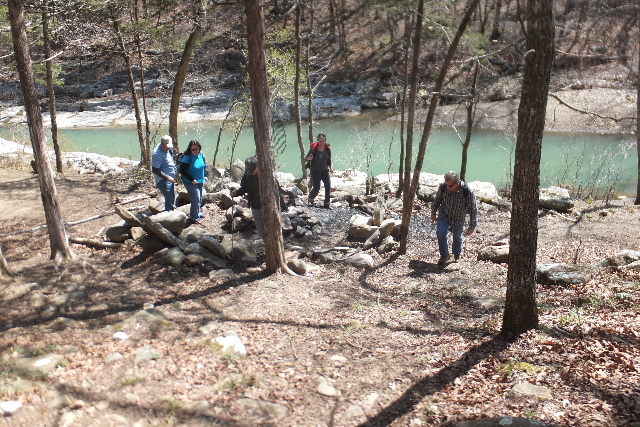 Campsite 36.09937°, 93.26003° |
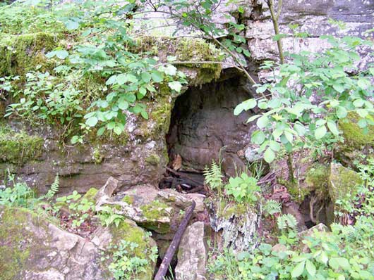
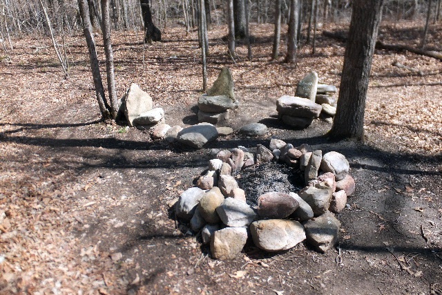
 Old Homesite 36.09413°, 93.26058° |
| |
||
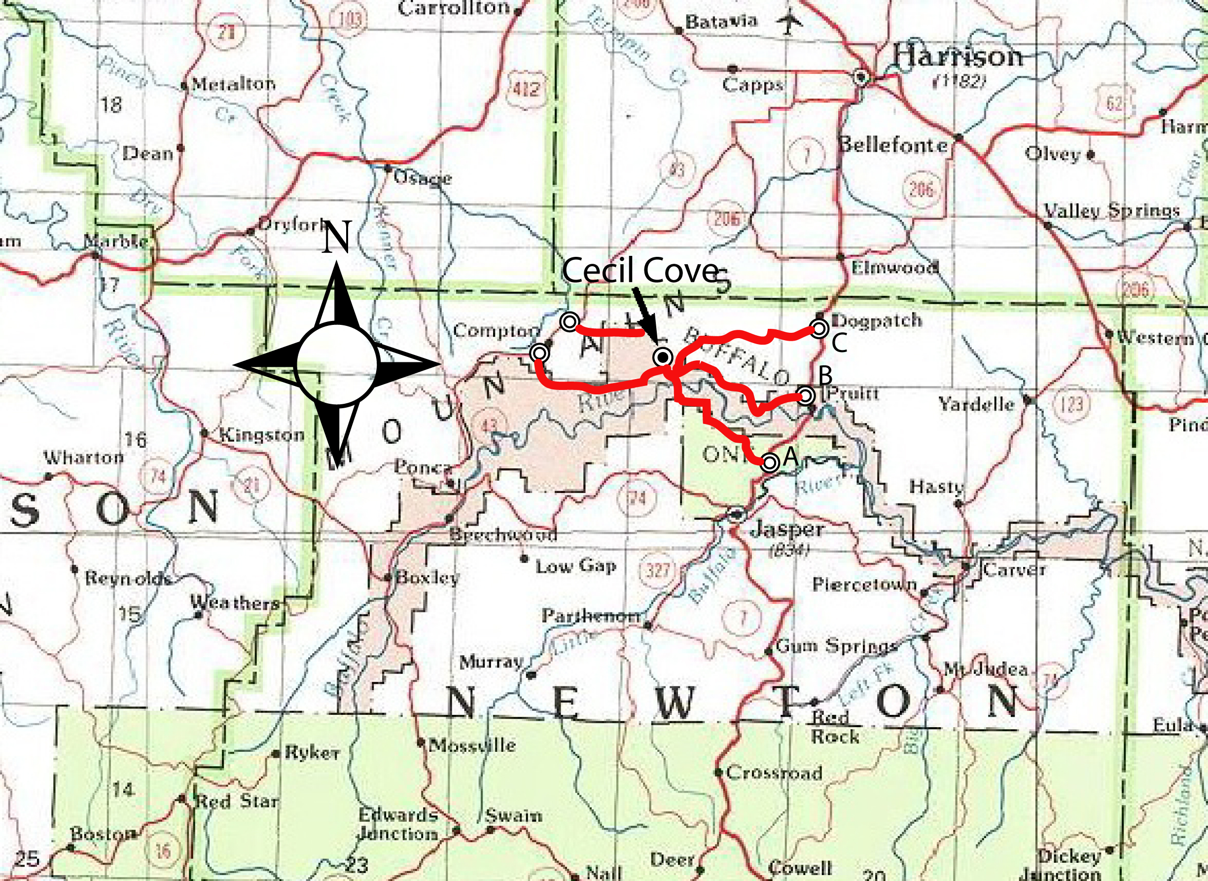 Location Map |
||
|
Driving Directions: From
Jasper (downtown) take Hwy. 7 north 3.3
miles to the Erbie Campground Road (Route
A) ; continue on to 5.7 miles just across the Buffalo River Bridge at Pruitt (Route B); continue on to 11.7 miles to Erbie Road (Co. Rd. #19) (Route C) just south of the north entrance to Dogpatch; Route A: Erbie Campground Road turn left off of Hwy. 7 and go 5.6 miles to Erbie Campgrounds; continue on to 6.3 miles to Buffalo River crossing (during high water you will not be able to cross the river, take Route B or C); continue on to 7.1 miles to Erbie Trailhead. Route B: At road just past Buffalo River Bridge turn left and go 2.3 miles to an intersection, stay left, continue to 6.0 milrs to an intersection, stay left; continue to 9.4 to Cecil Creek crossing (during high water you may not be able to cross, take Route C); continue to 10.2 miles to Erbie Trailhead. Route C: At Erbie Road (County Road #19) turn left (Marble Falls Full Gospel Church is located at this corner) and go 1.9 miles to an intersection at Basin Church; turn right and continue to 3.0 miles to an intersection; continue left to 7.3 miles to Cecil Creek crossing (during high water you may not be able to cross; if you have tried Routes A and B already and could not cross you may be out of luck!); continue on to 7.9 miles to Erbie Trailhead. From Ponca (Buffalo Outdoor Center) take Hwy. 43 and go 8.1 miles and turn on County Road #19 across the highway for the Compton Post Office; go 6-miles, passing the Compton Trailhead; this road is not maintained after about 3.5 miles and at McFerrin Point. From Compton Post Office on Hwy. 43 go 0.8 miles and turn on a road across the highway from the Volunteer Fire Dept.; go 2-miles and park before you get to Broadwater Hollow crossing (this road is pretty rough also). |
||