.jpg)
| TAKAHIK River Valley Hikers |
| Home Scheduled Hikes Pictures Videos Membership Links Trails & Waterfalls Products In Memory Of Scholarships |
| THE SHELTERS AT CHANCEL |
|
|
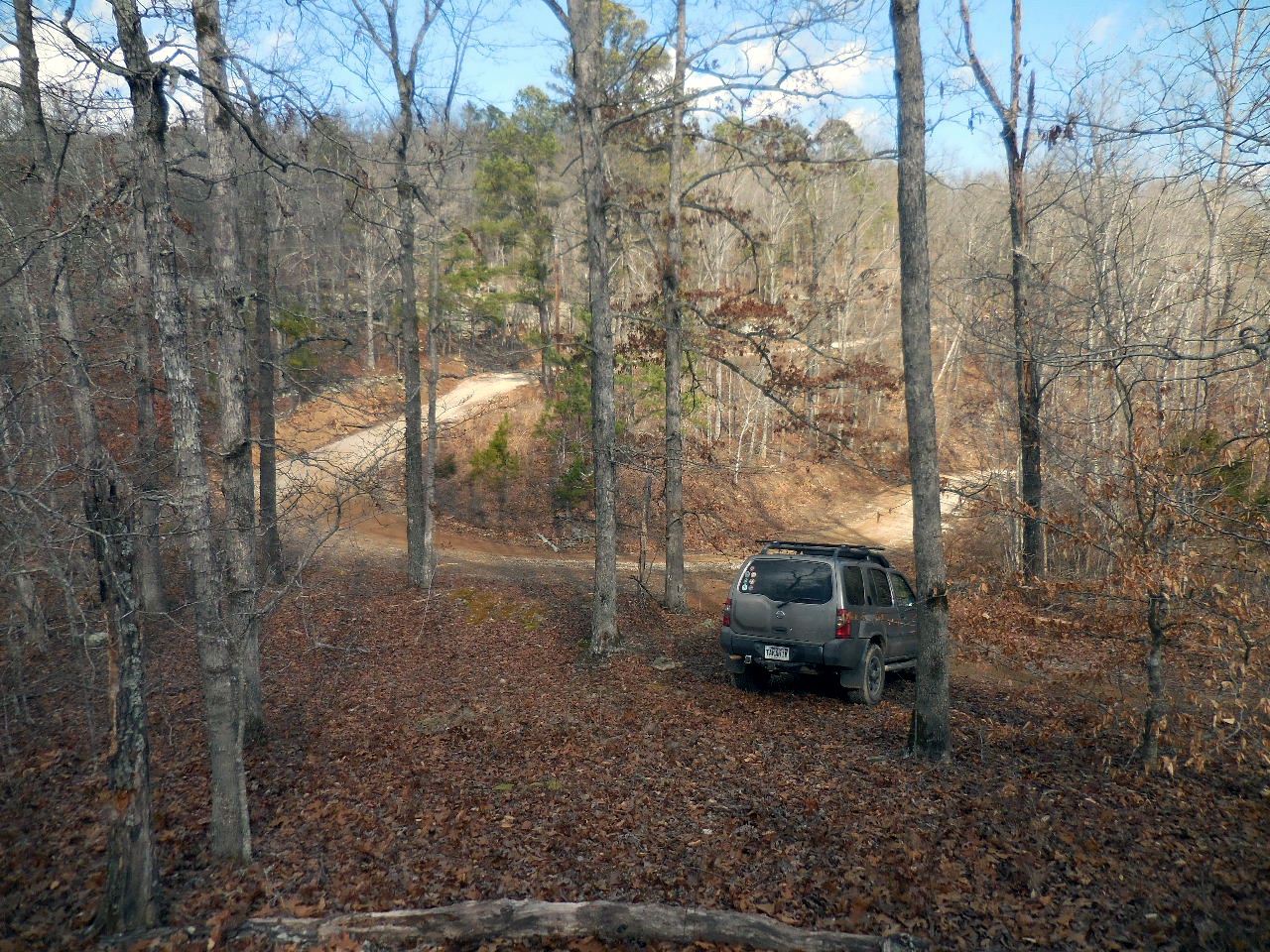 Parking Area #1 35.77319Ü, 93.13817° |
Parking Area
#2 & Access Point "C" 35.76946°, 93.13759° (From this point on, the Forest Road reduces to an ATV Trail) Access Point "A" 35.76444°, 93.13916° (The ATV Trail turns and heads downhill) |
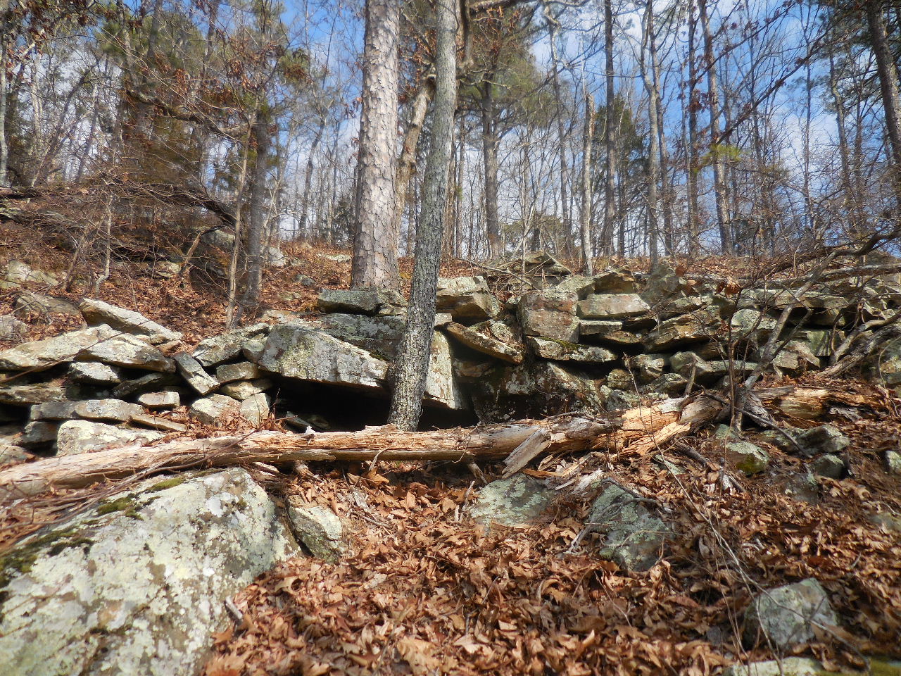 Stacked Rocks 35.76436°, 93.13953° |
 Pedestal Rock (East of Shelter #1) 35.76332°, 93.13905° |
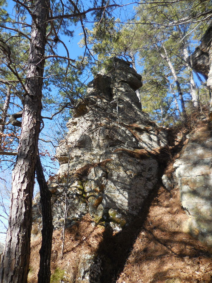 Another Pedestal |
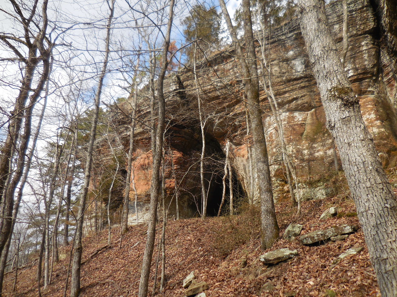
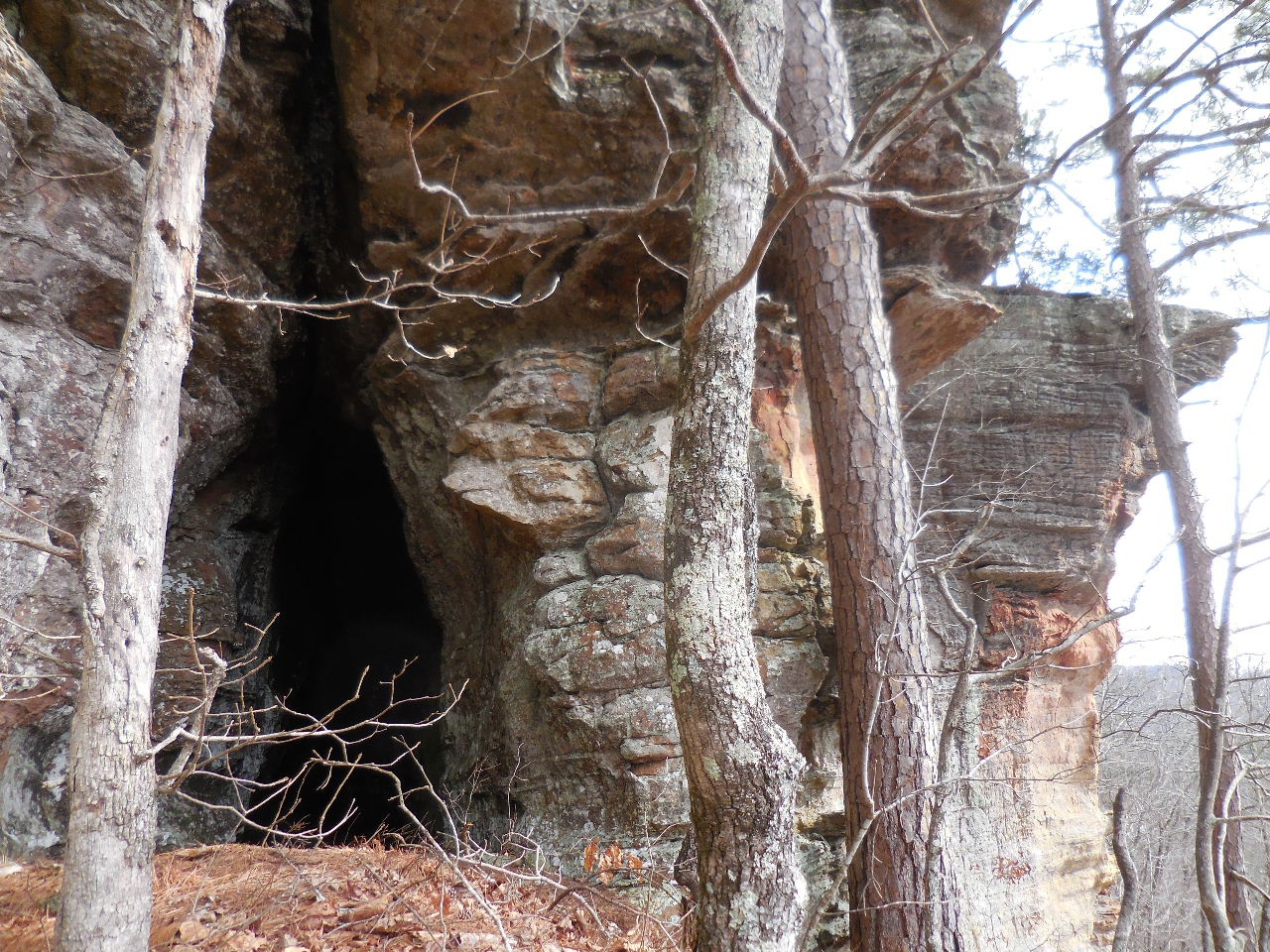
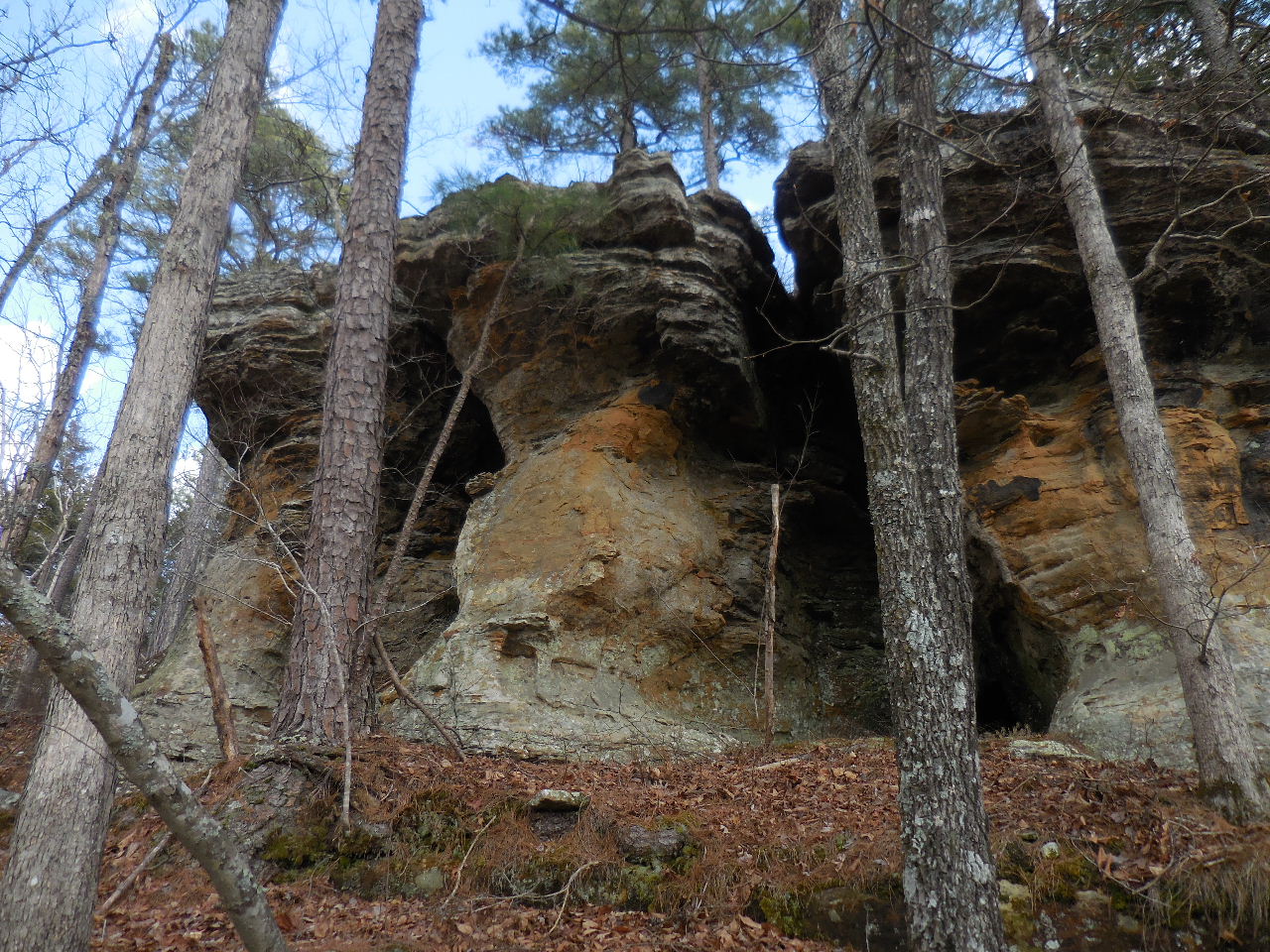
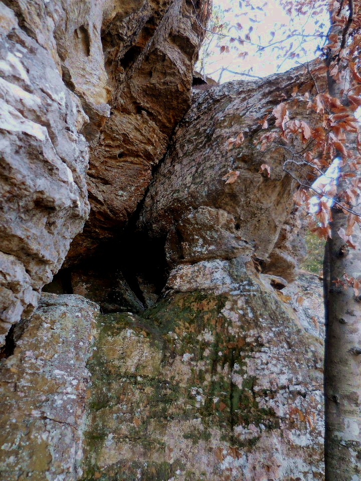
 Entrance to Shelter #1 35.76349°, 93.13931° |
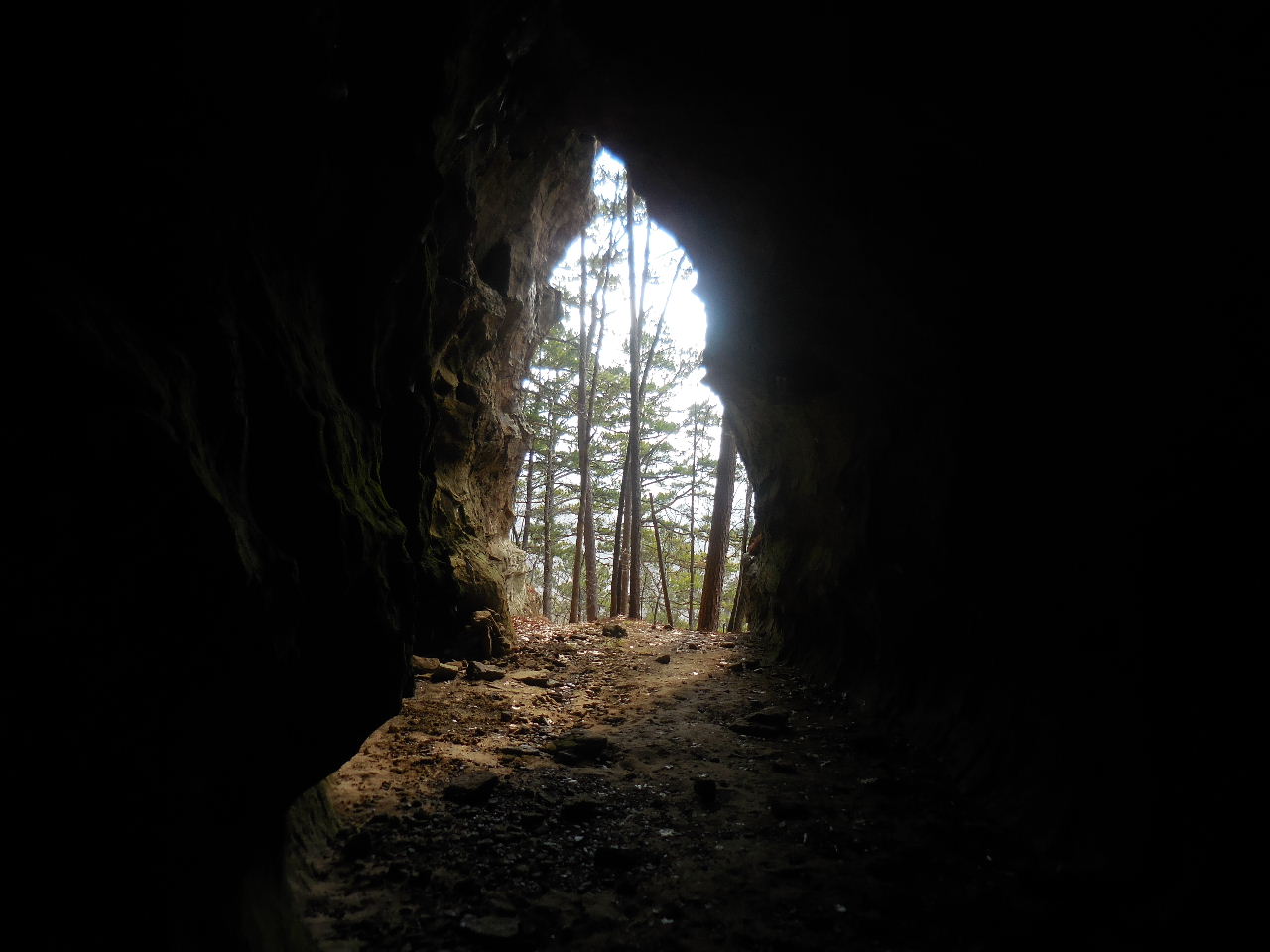
 Inside Shelter #1 (40' Deep) |
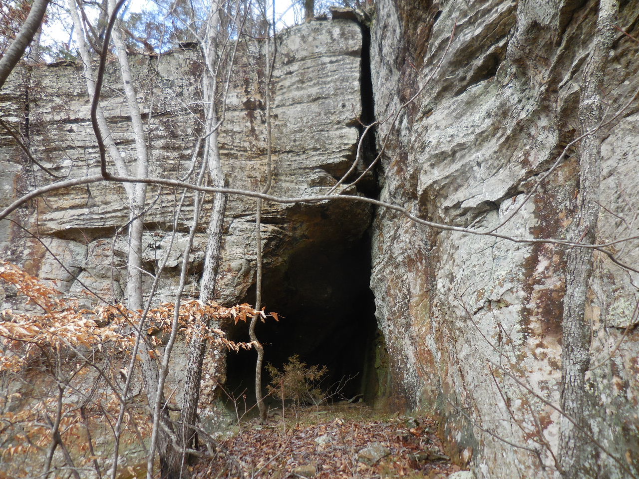
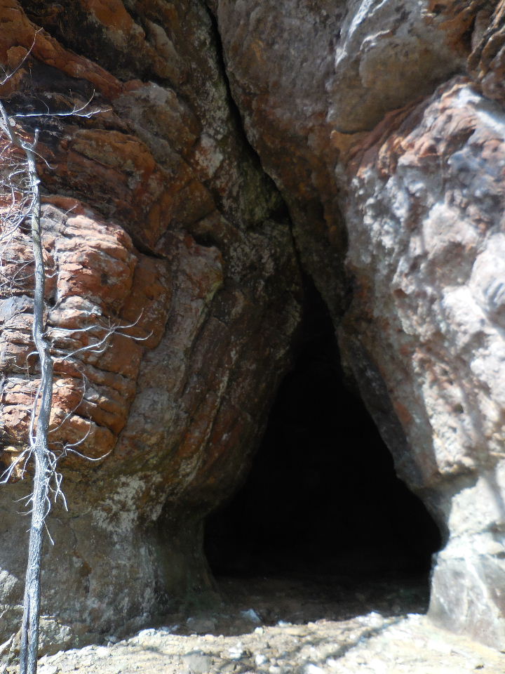
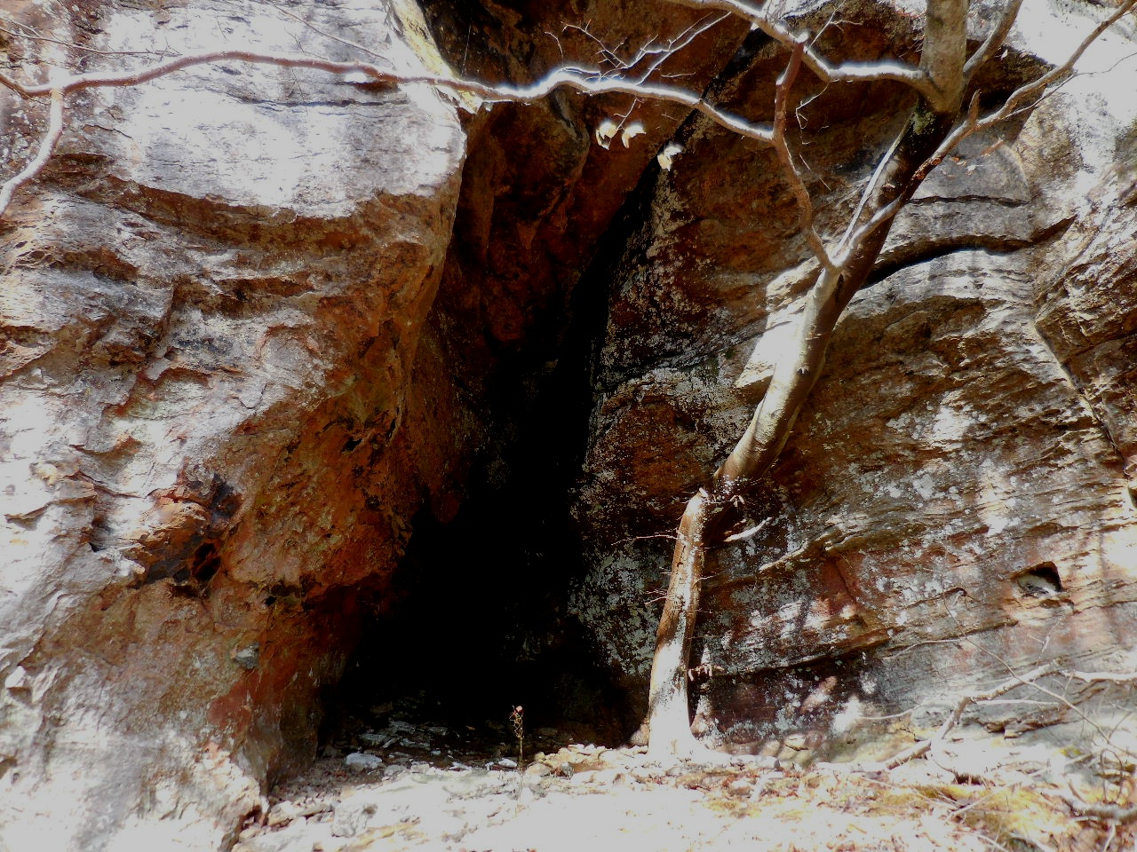
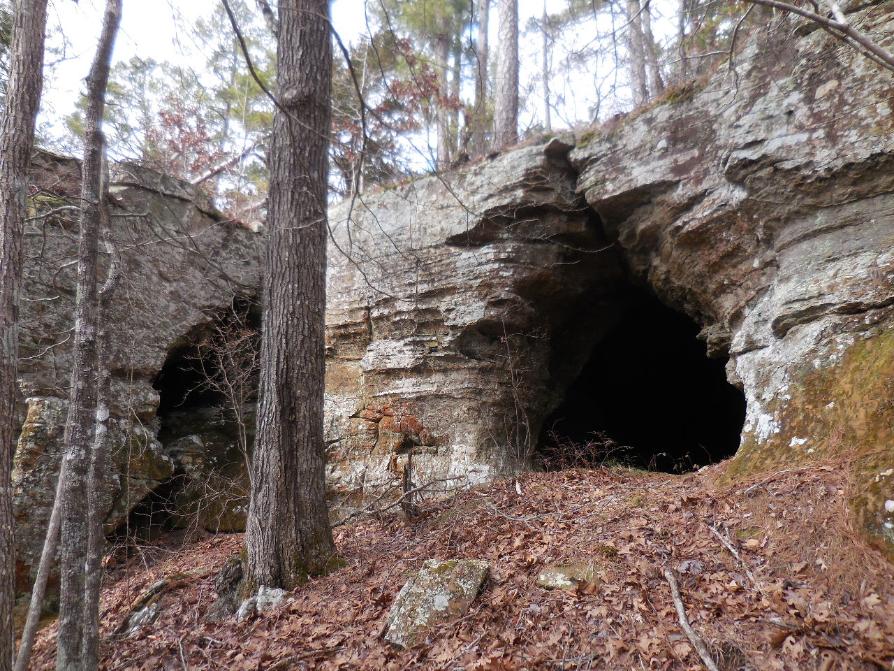
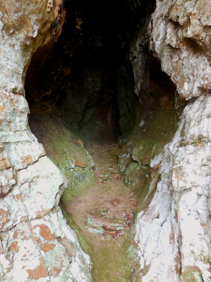
 Entrance to Shelter #2 35.76485°, 93.14006° |
 Inside Shelter #2 (65' Deep) |
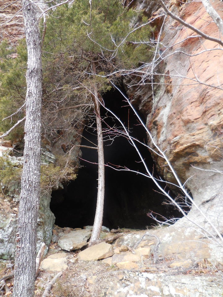
 Entrance to Shelter #3 35.76514°, 93.14043° |
 Inside Shelter #3 (25' Deep) |
 On the way to the next shelter.... |
 Approaching Shelter #4 |
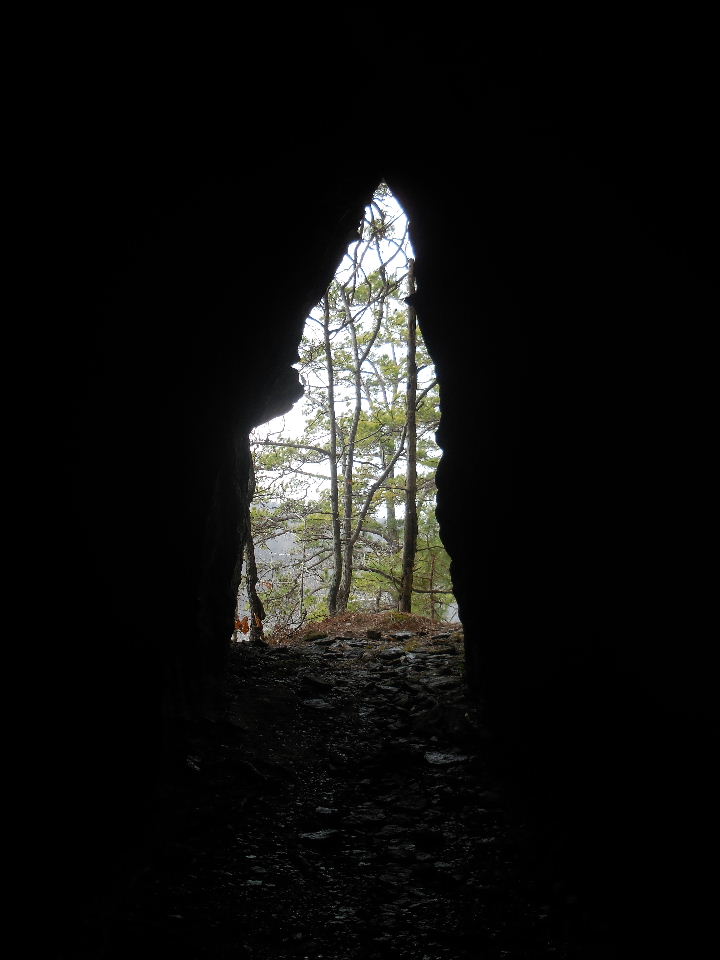
 Entrance #1 to Shelter #4 35.76517°, 93.14063° |
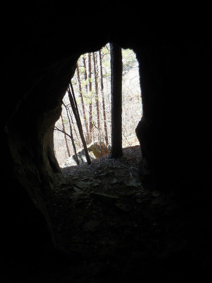
 Looking out Entrance #1 to Shelter #4 |
 Inside Shelter #4 |
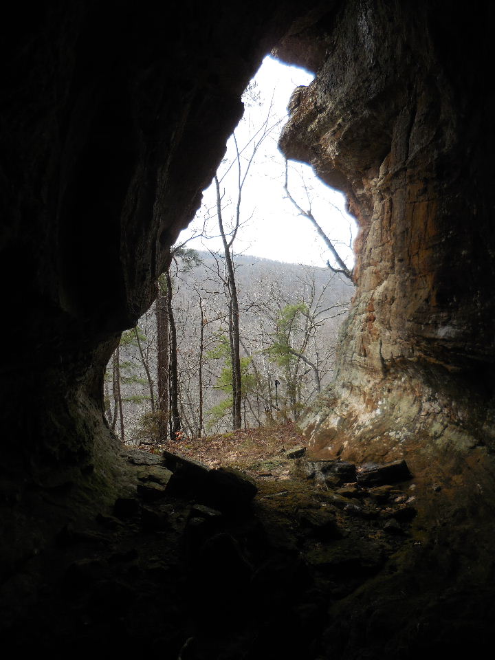
 Entrance #2 to Shelter #4 |
 Looking out Entrance #1 & #2 to Shelter #4 |
 Upper Entrance #3 to Shelter #4 |
 Looking out Entrance #3 to Shelter #4 |
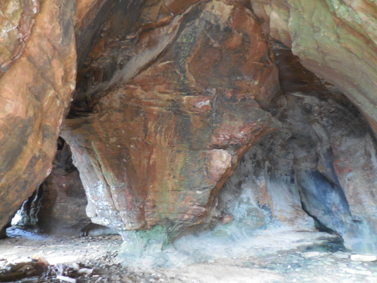
 Firepit inside Shelter #4 |
 Entance to Shelter #5 35.76548°, 93.14134° |
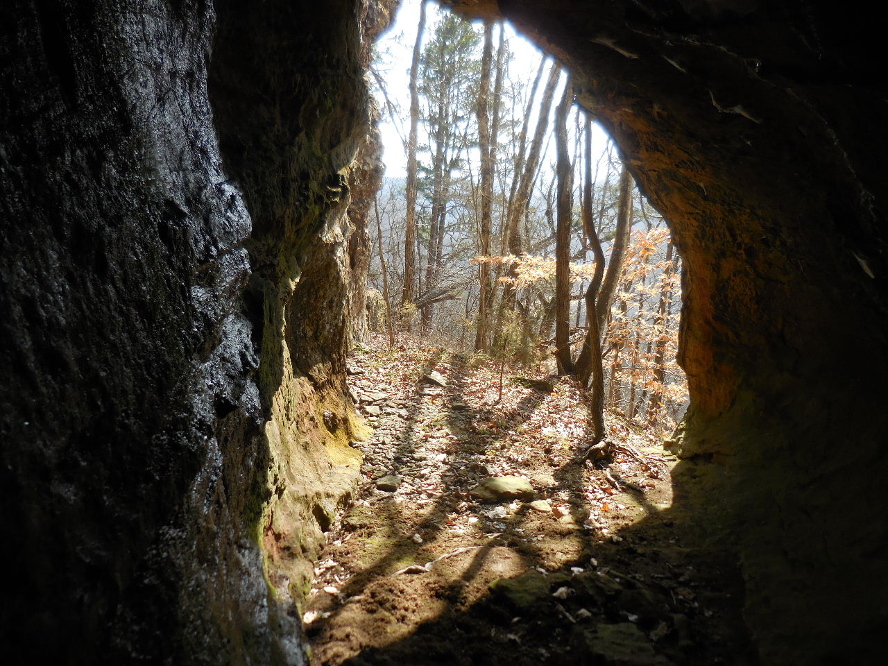
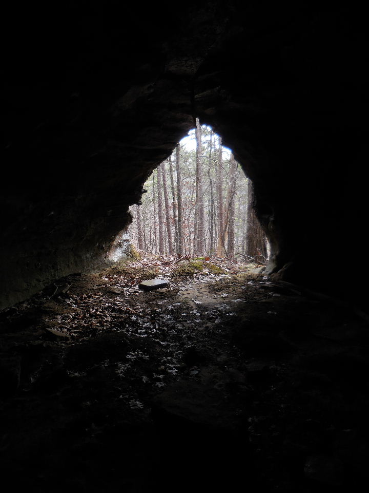
 Looking out from Shelter #5 (30' Deep) |
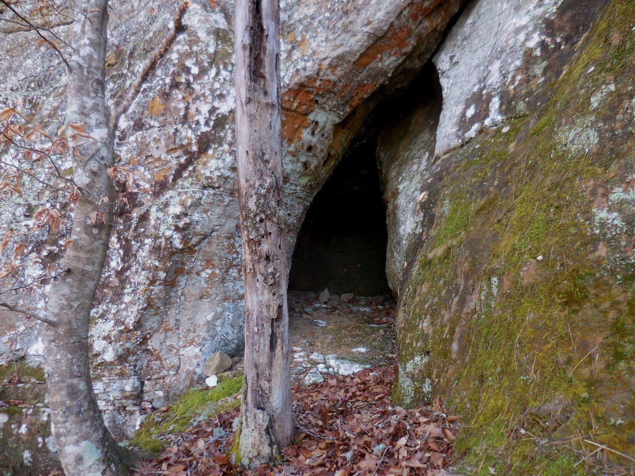
 Entrance to Shelter #6 (20' Deep) 35.76558°, 93.14125° (May be on private property?) |
 Entrance #1 to Shelter #7 35.76574°, 93.14155° (This entrance is blocked just inside) |
 Looking out of Entrance #1 of Shelter #7 (On private property) |
 Entrance #2 to Shelter #7 35.76581°, 93.14161° (Next to Beech Tree) |
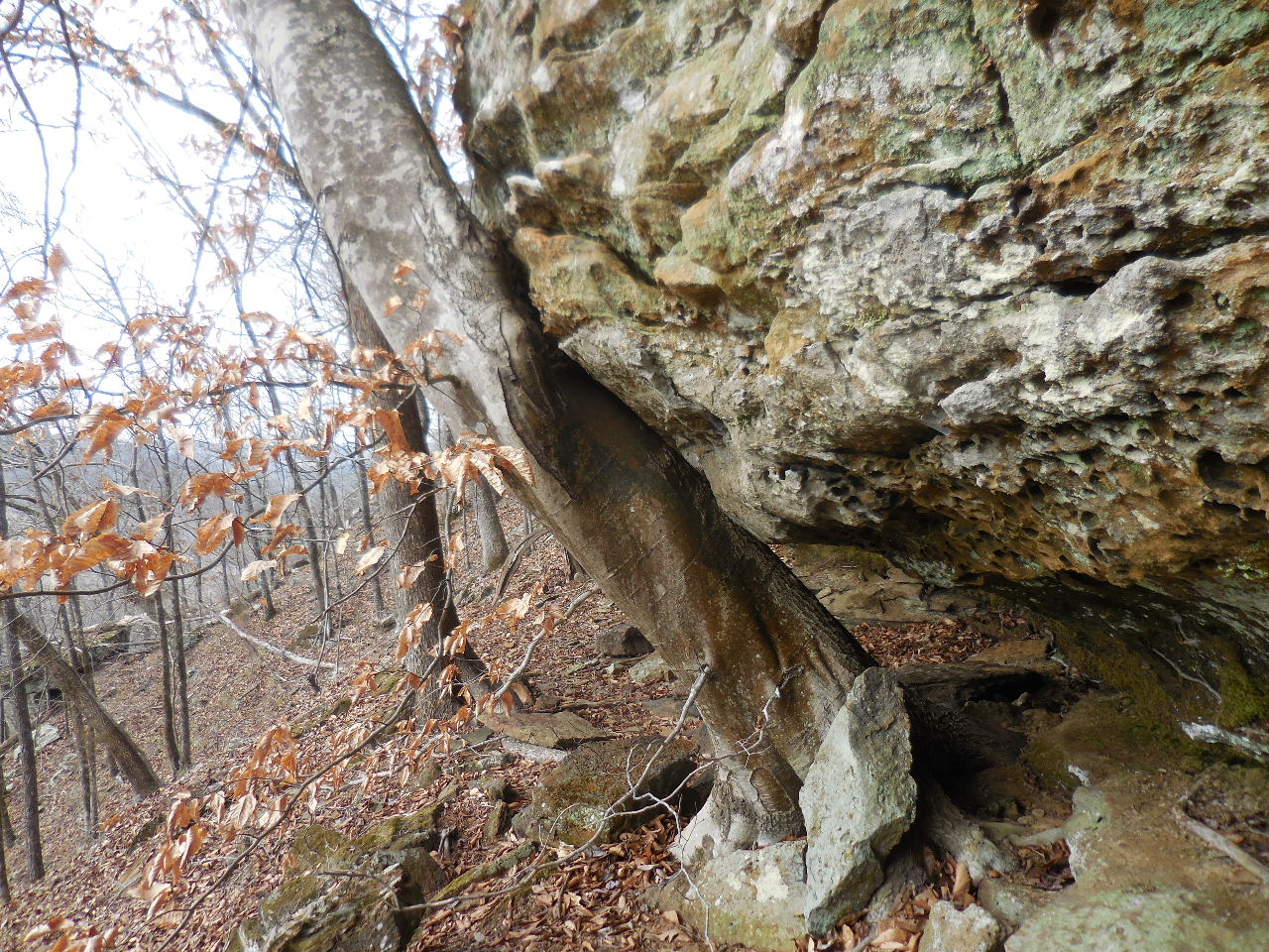
 Rock formation just before Shelter #8 |
 Entrance to Shelter #8 35.76680°, 93.14174° (On private property) |
 Looking out from Shelter #8 (50' Deep) |
 Approaching The Chancel Arch #9 |
 The Chancel Arch #9 35.76712°, 93.14207° (On private property) |
 Under the arch.... |
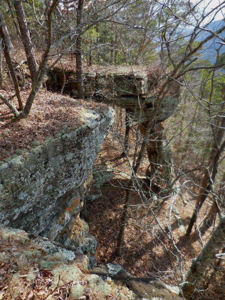 Looking down at the arch from above. |
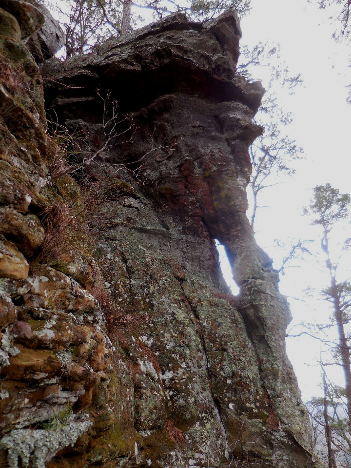
 Looking up at Shelter #10 35.76734°, 93.14231° (On private property) |
 Looking inside Shelter #10 (20' Deep) |
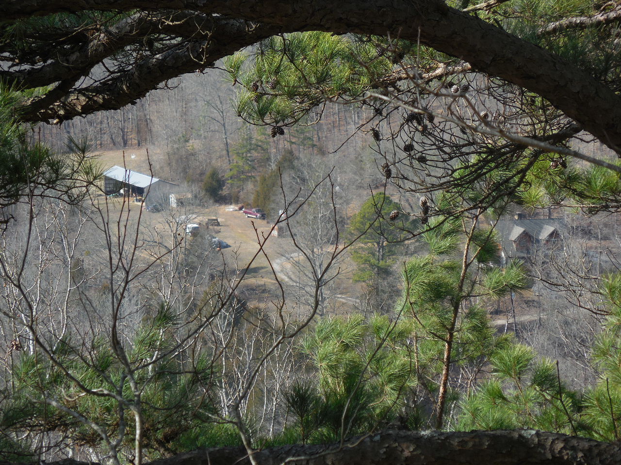 Looking west off of bluff above Shelter #9 (Myers Property) |
Access Point
"B" 35.76741°, 93.14210° (Just around the corner from Shelter #10) |
Once you get
to Access Point "B" you can head to Access Point "C" or follow the ridge north back to Parking Area #1. (The woods are open and it is any easy hike either way) |
 Shelter #11 35.76988°, 93.14109° |
 Inside Shelter #11 (20' Deep) |
 Upper Hole Through the Rock 35.77048°, 93.14075° |
 Shelter #12 35.77092°, 93.14046° |
 Inside Shelter #12 (30' Deep) |
|