| TAKAHIK River Valley Hikers |
| Home Scheduled Hikes Pictures Videos Membership Links Trails & Waterfalls Mushrooms Products In Memory Of Scholarships |
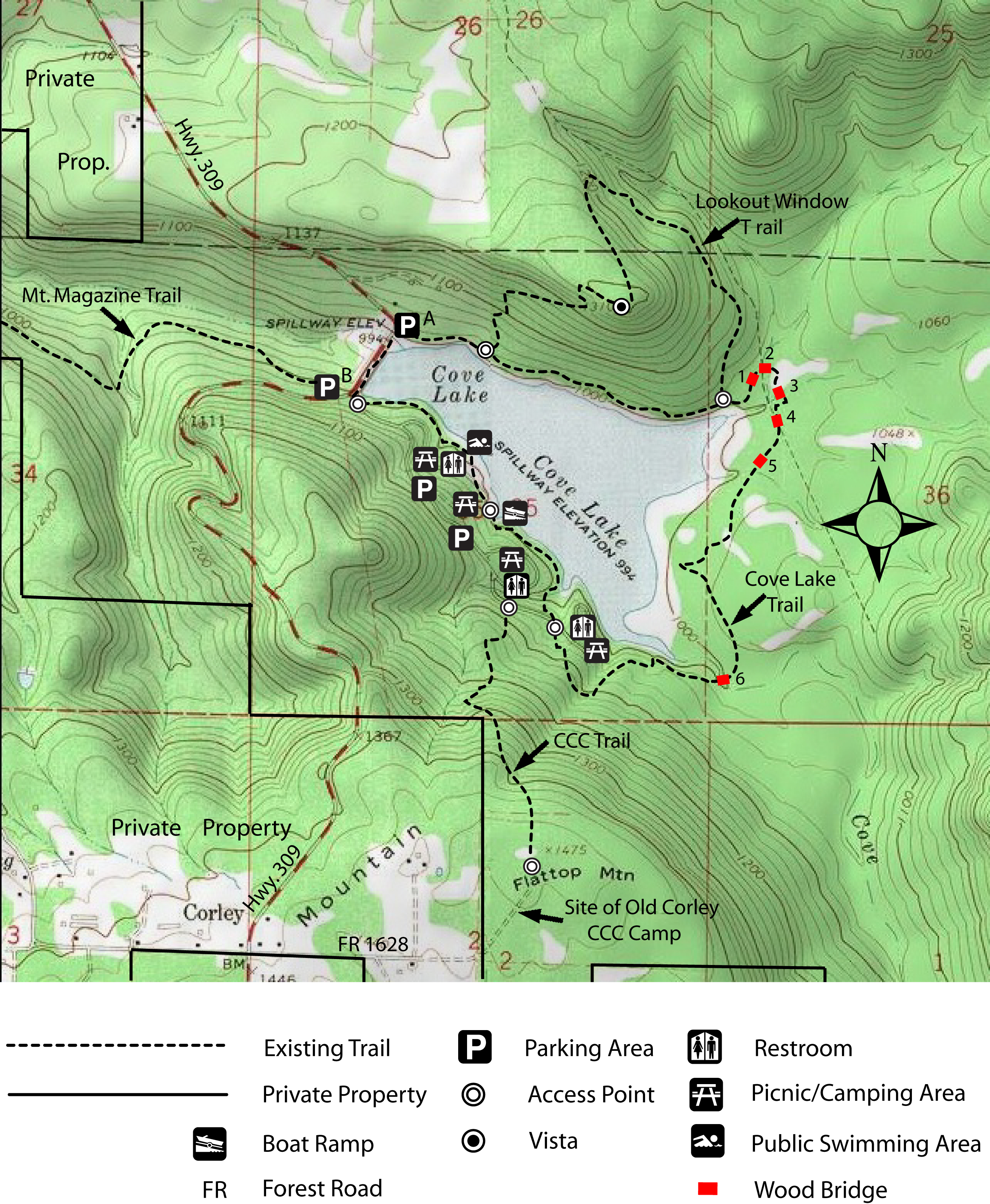
| COVE LAKE TRAIL |
|
|
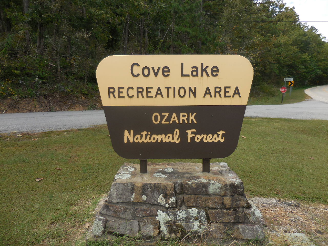
 Sign on Hwy. 309 |
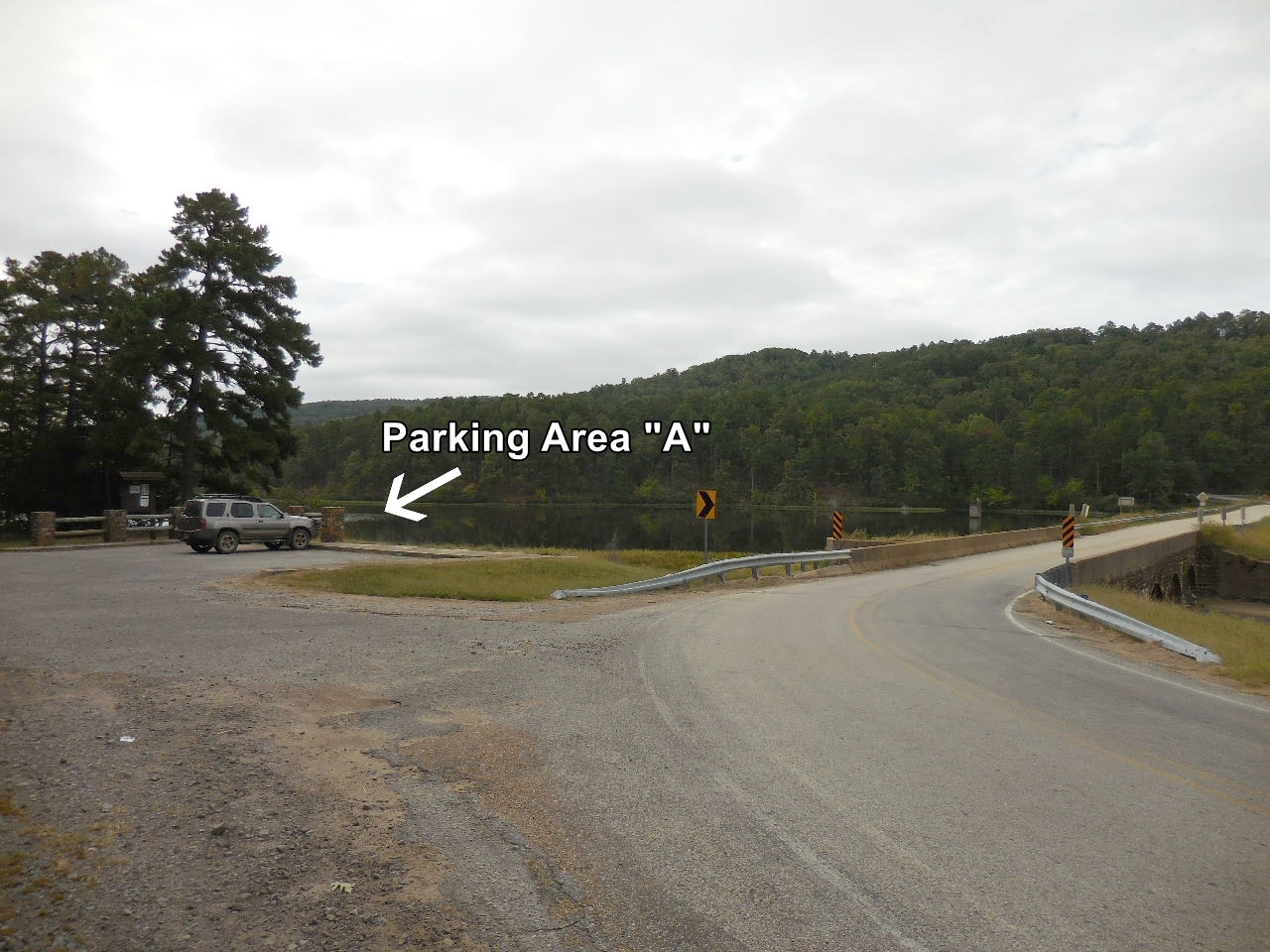 Parking Area "A" 35.23298°, 93.62880° |
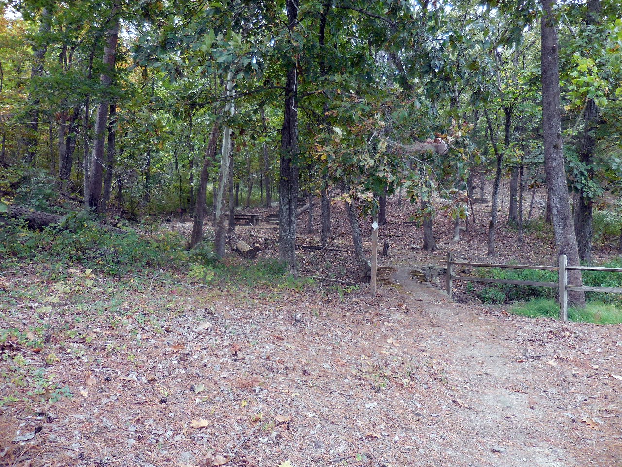
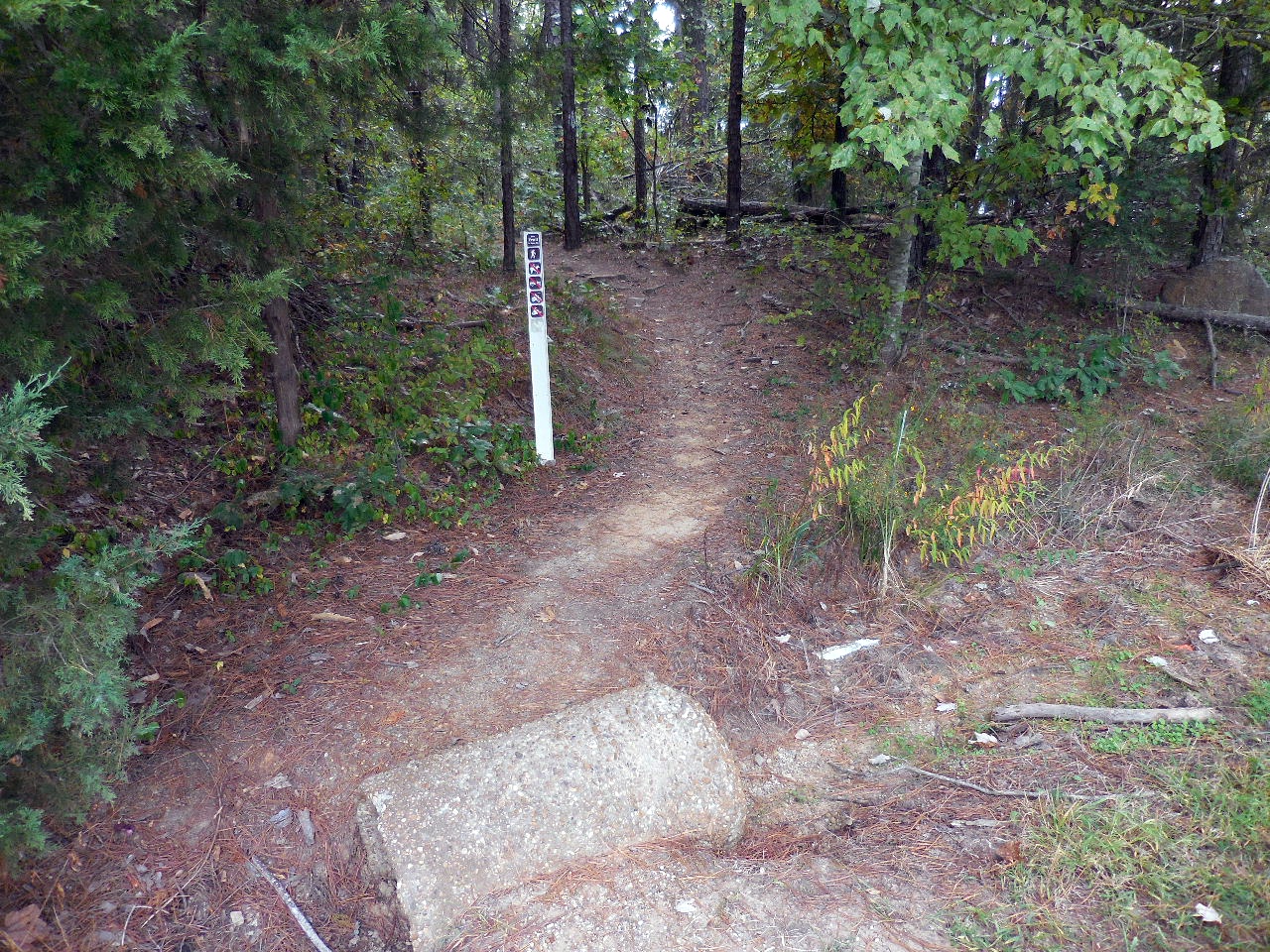 Entrance to Trailhead 35.23290°, 93.62852° |
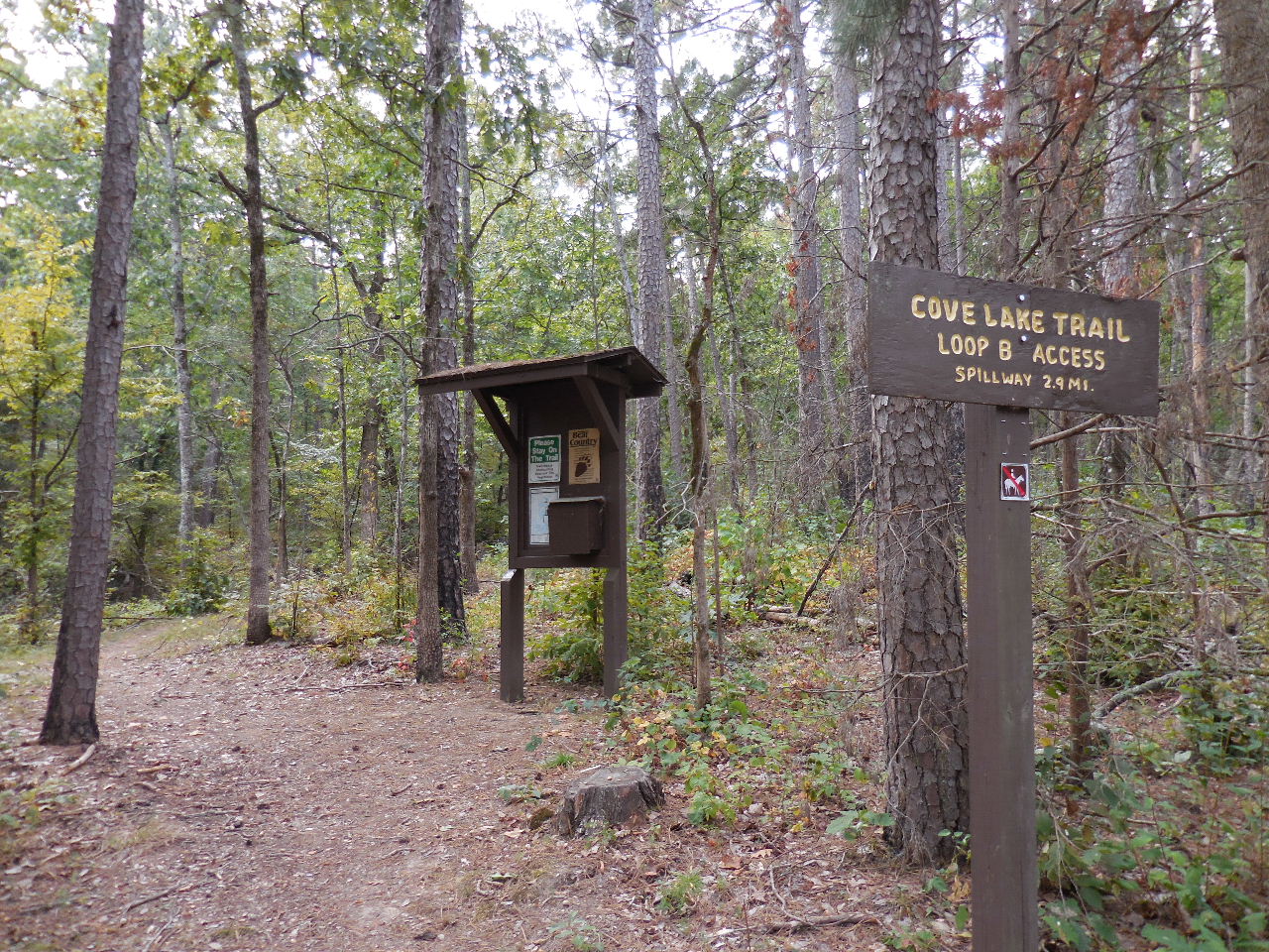
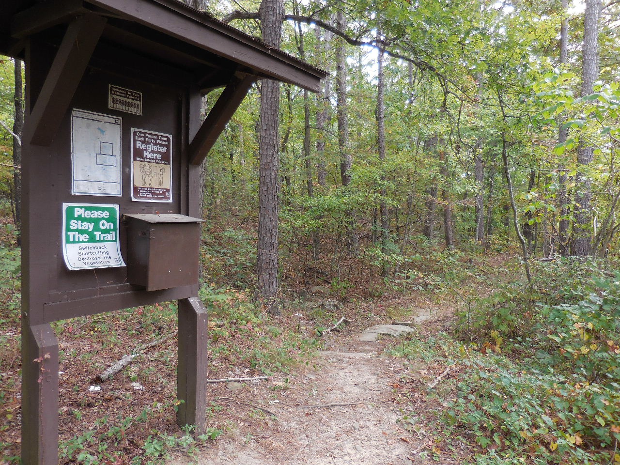 Trailhead & Map Box 35.23288°, 93.62835° |
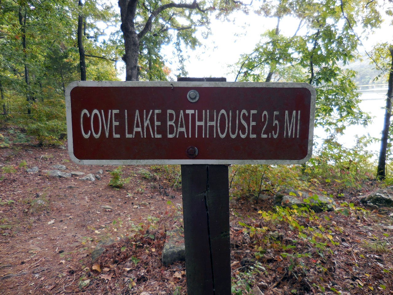
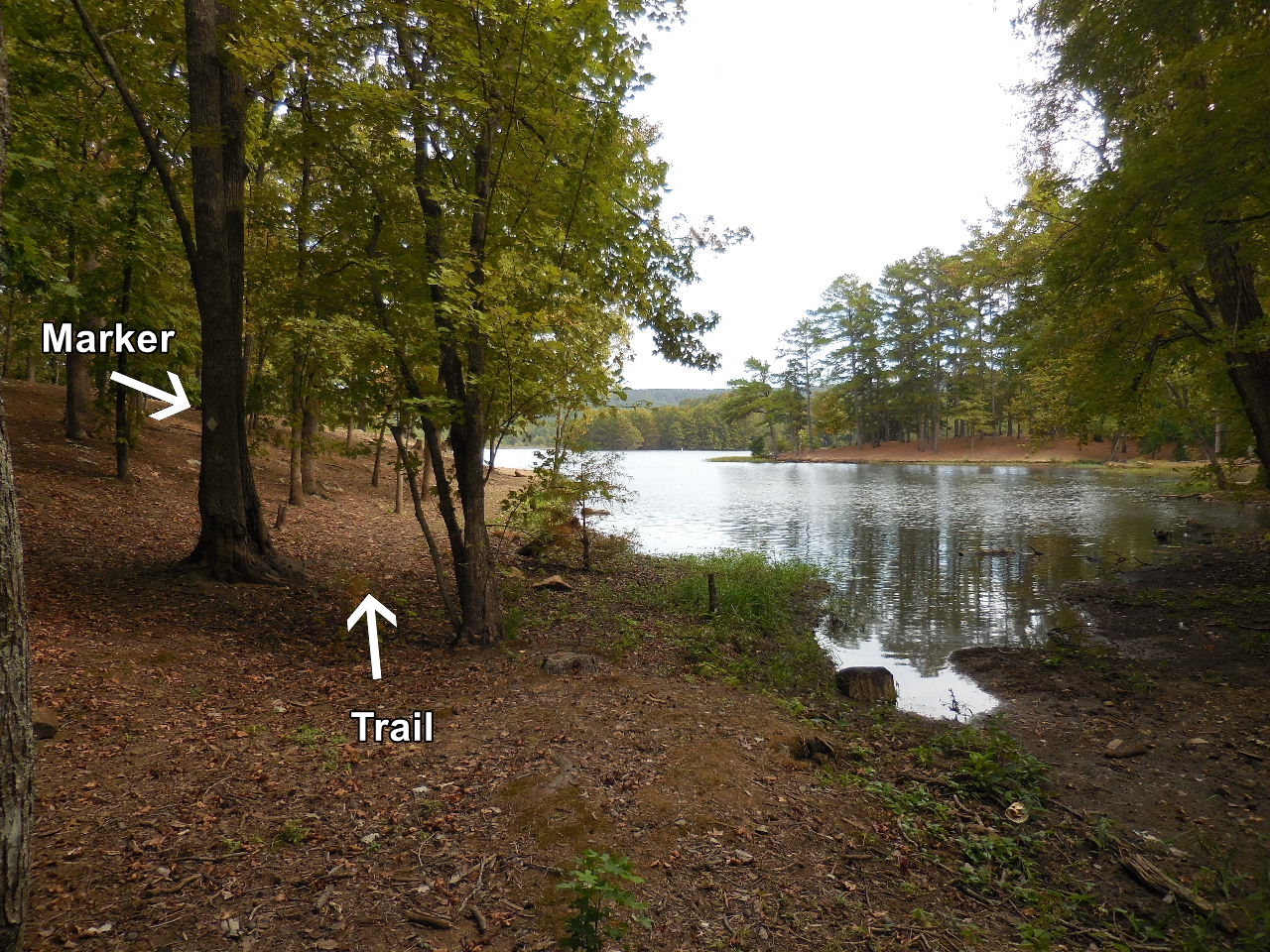
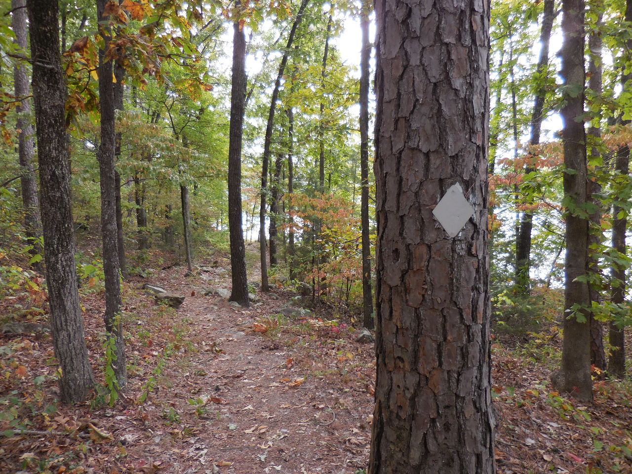 Cove Lake Trail Marker |
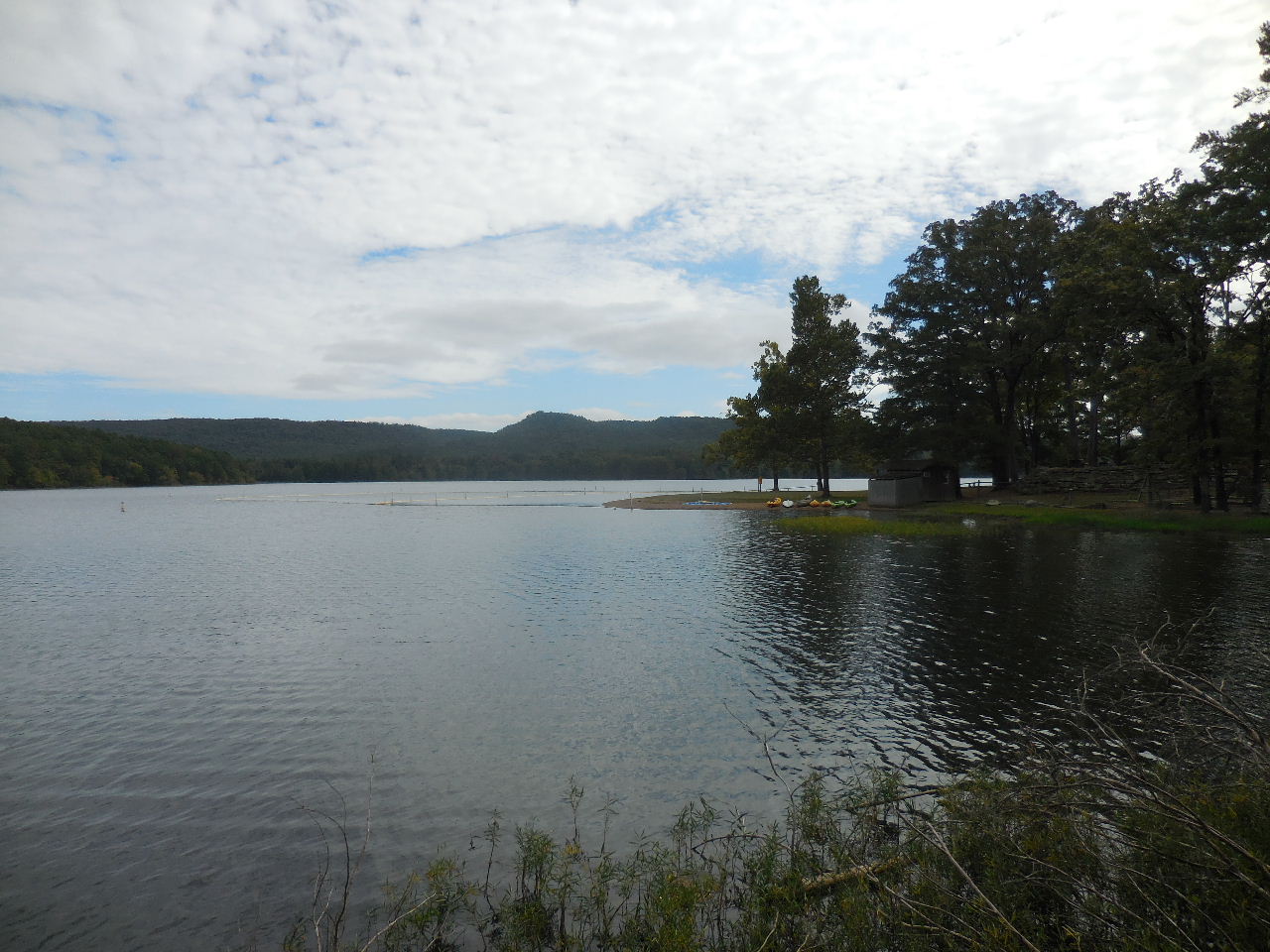
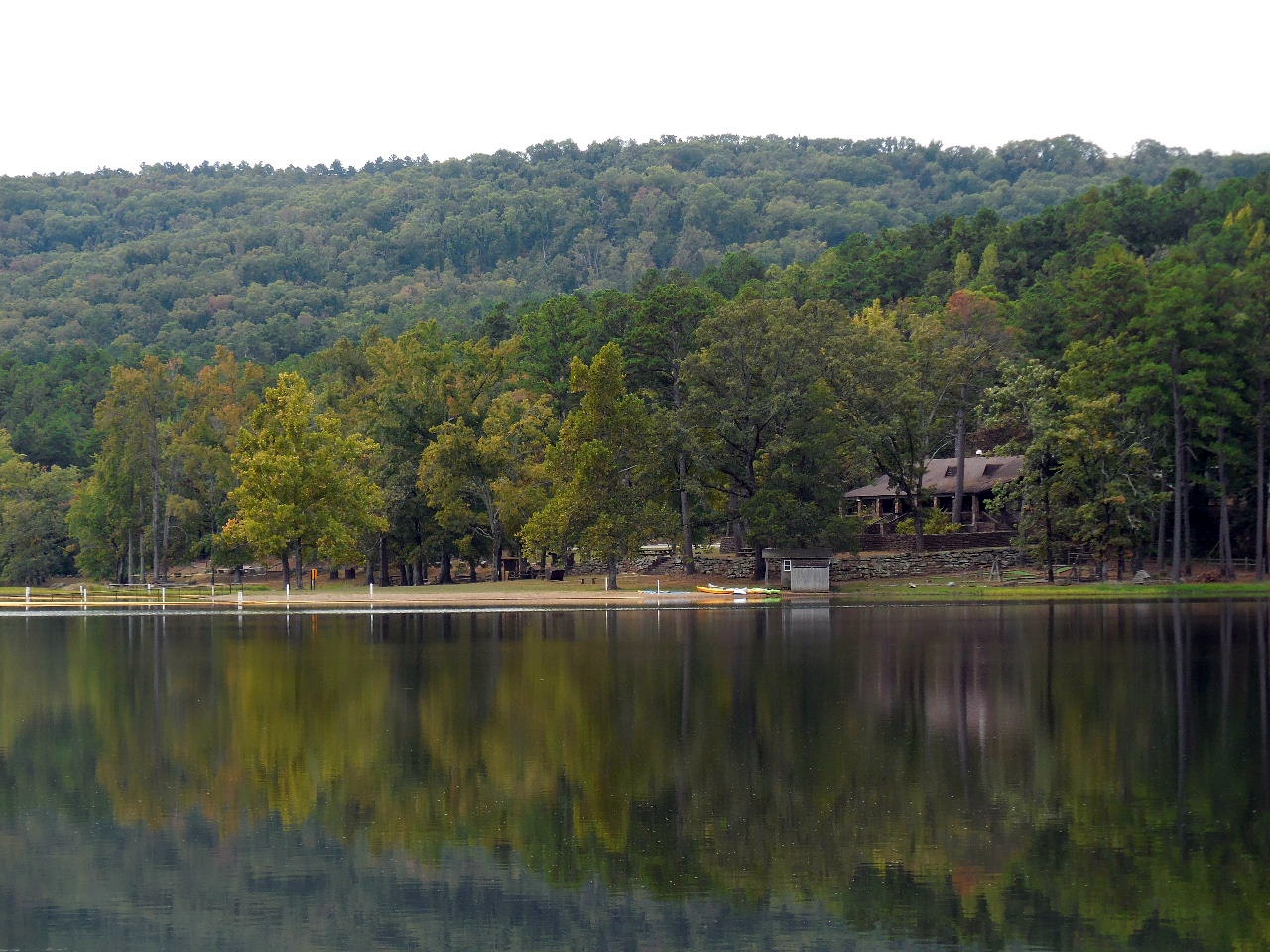 View across lake at swimming area and bathhouse. |
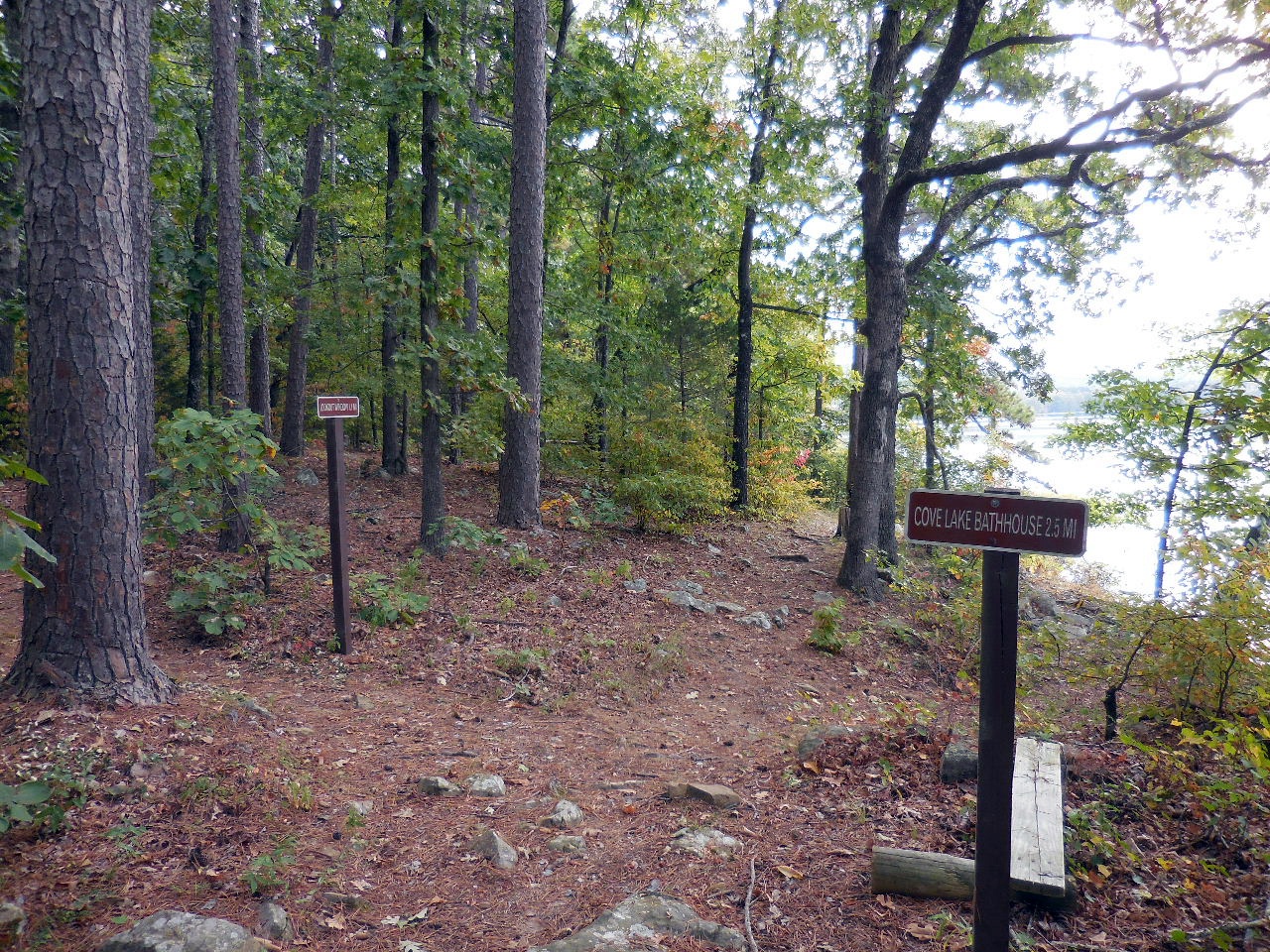 Intersection of Lookout Window Trail and Cove Lake Trail 35.23229°, 93.62556° |
 Lookout Window Trail heads uphill to a vista on top of the mountain. |
 Continue straight on Cove Lake Trail. It will intersect the Lookout Window Trail at 0.5 miles. |
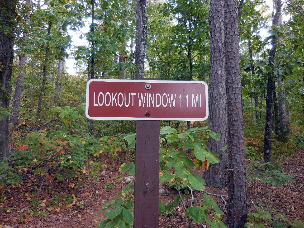
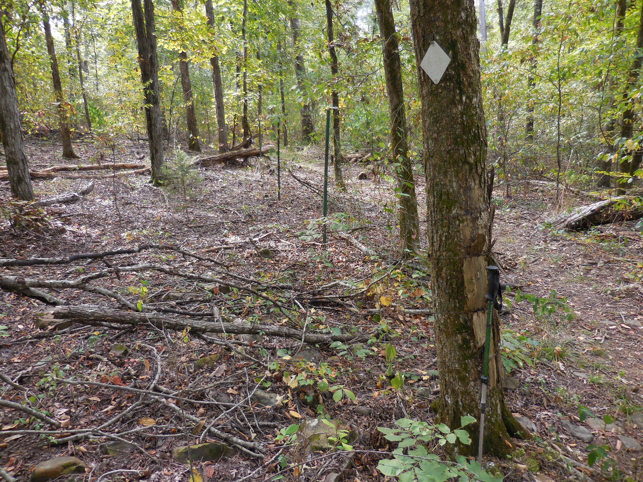
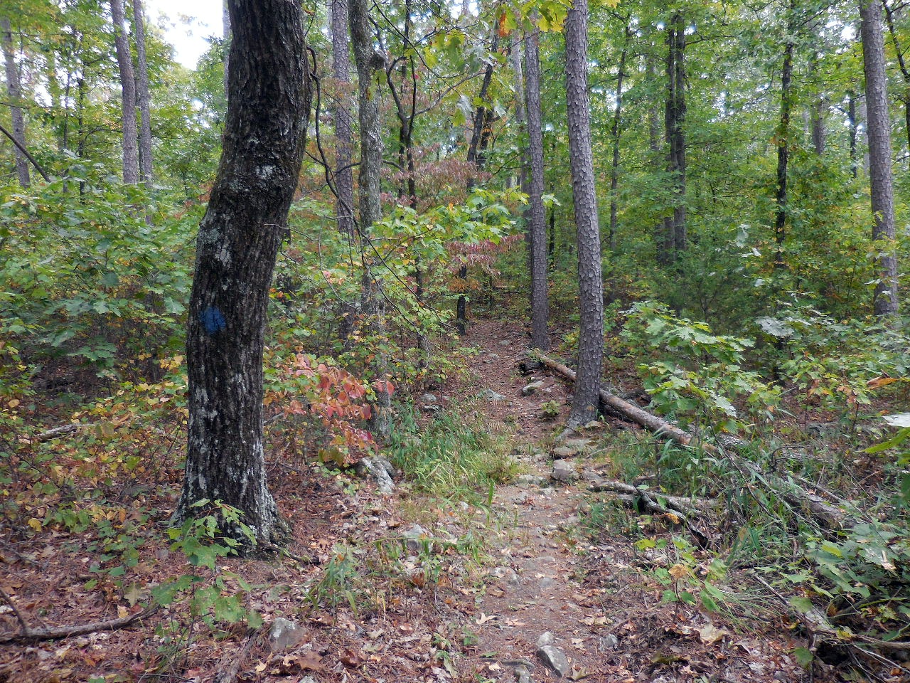 Lookout Window Trail marked with blue blazes. |
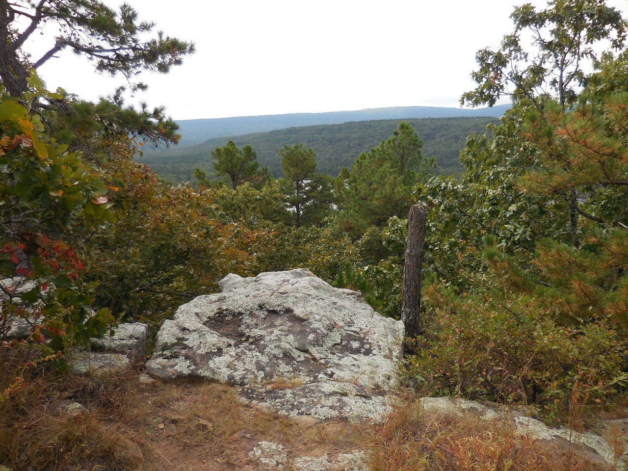 Vista Point 35.23368°, 93.62028° (Hard to see view when trees have leaves on them) |
 Intersection of Lookout Window and Cove Lake Trail. (Be sure to turn left here!) 35.23137°, 93.61612° |
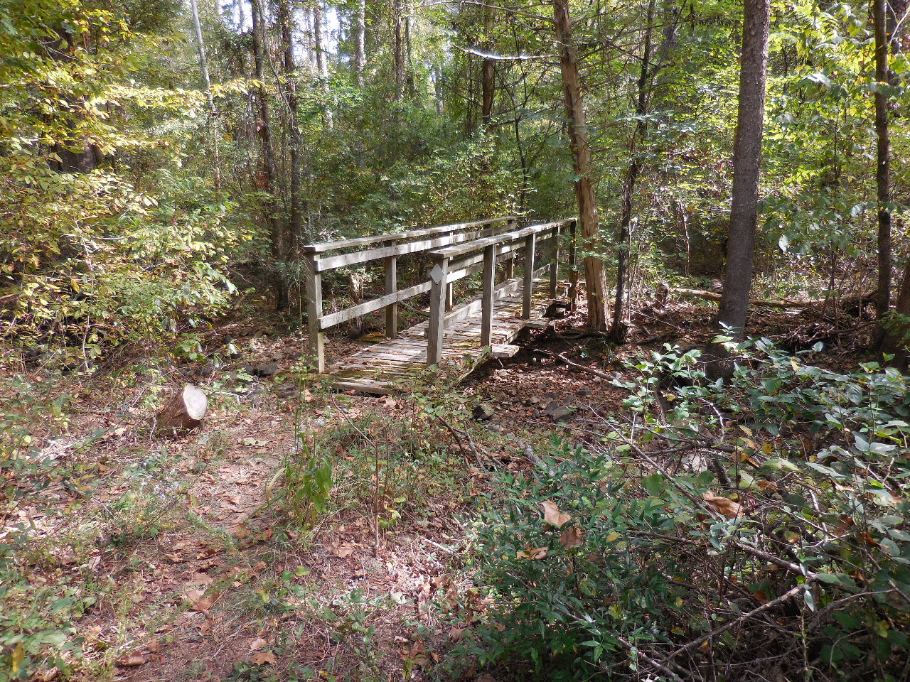 Approaching bridge #1 35.23191°, 93.61484° |
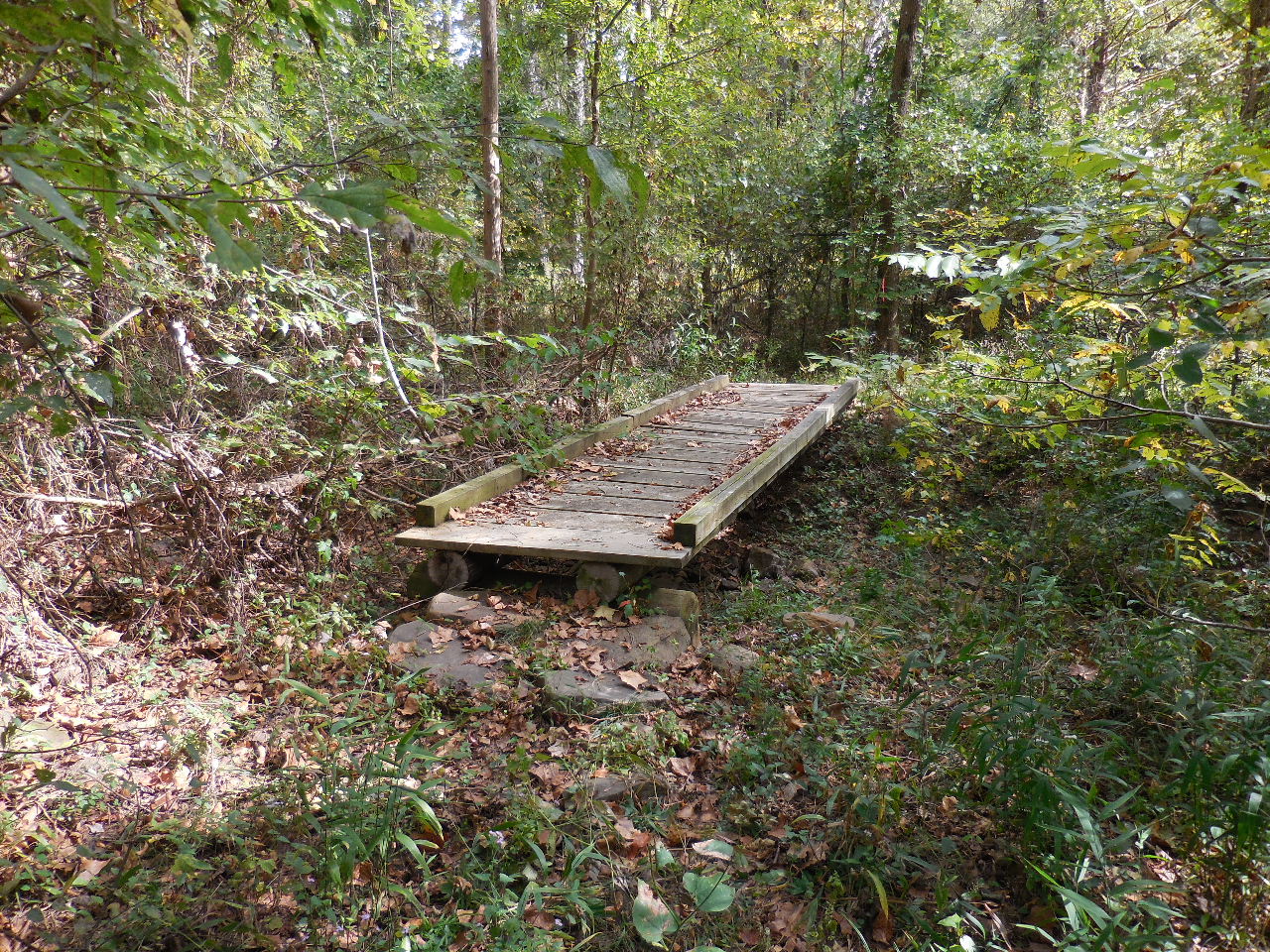 Bridge #2 35.23201°, 93.61461° |
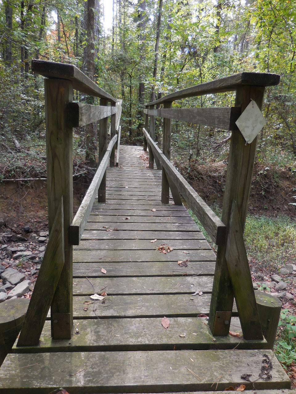 Bridge #3 (The Skinny Bridge) 35.23105°, 93.61399° |
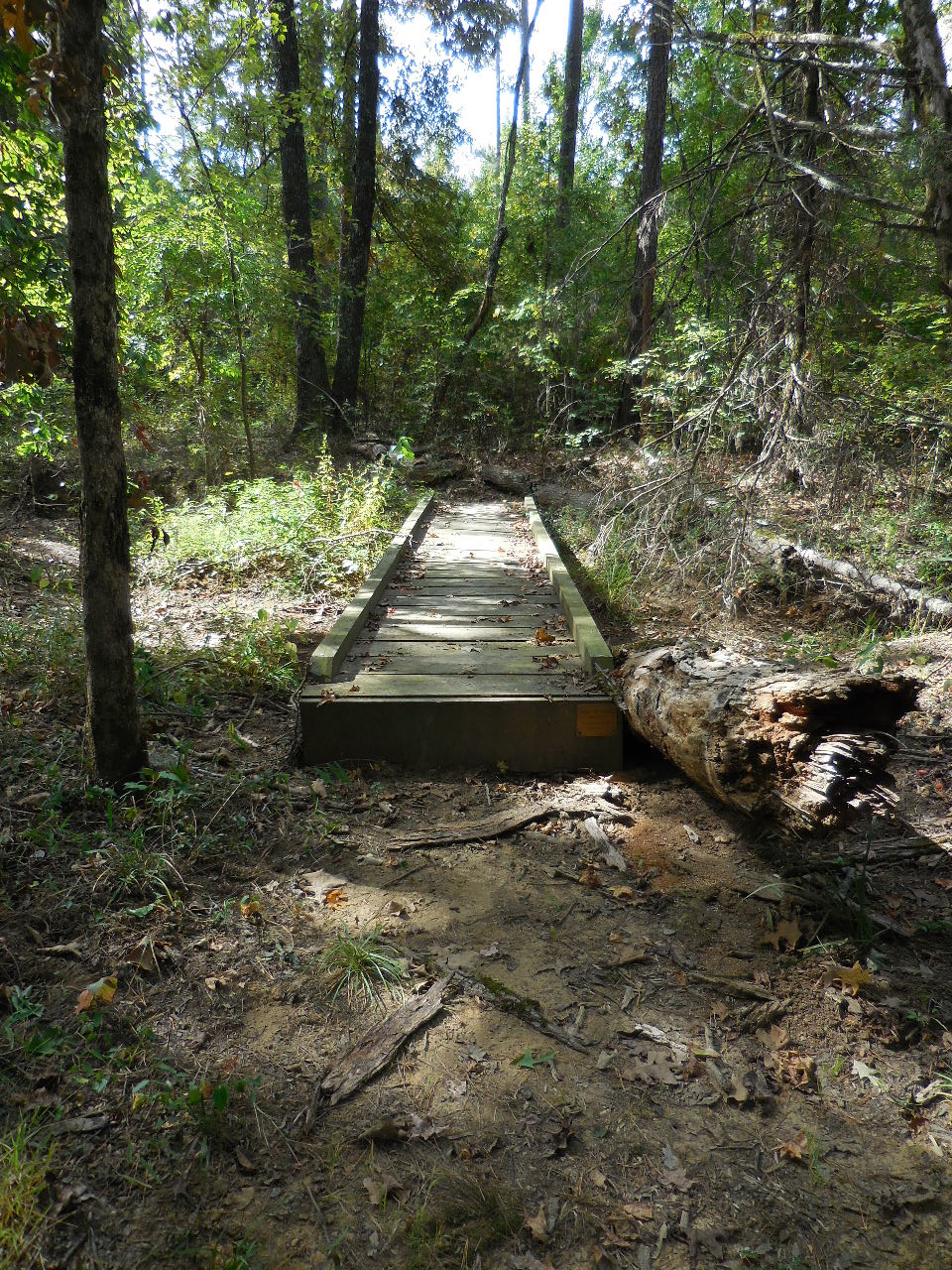 Bridge #4 35.23016°, 93.61408° |
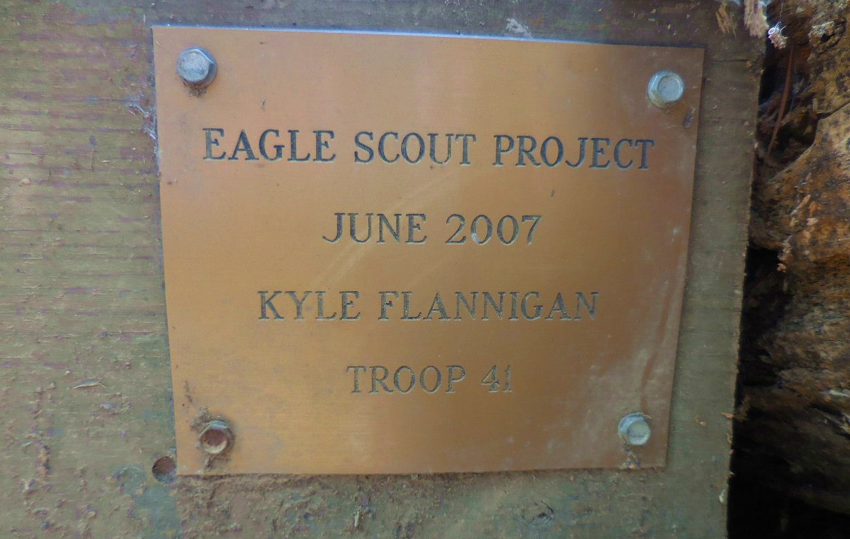 Plaque on Bridge #4 |
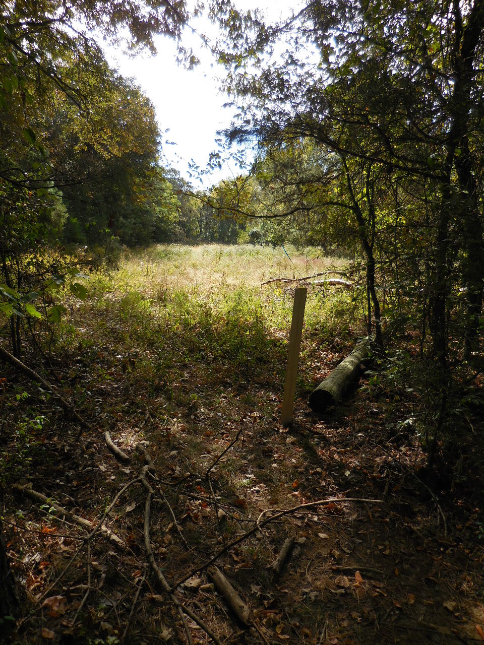 Open field next to trail. 35.22952°, 93.61391° |
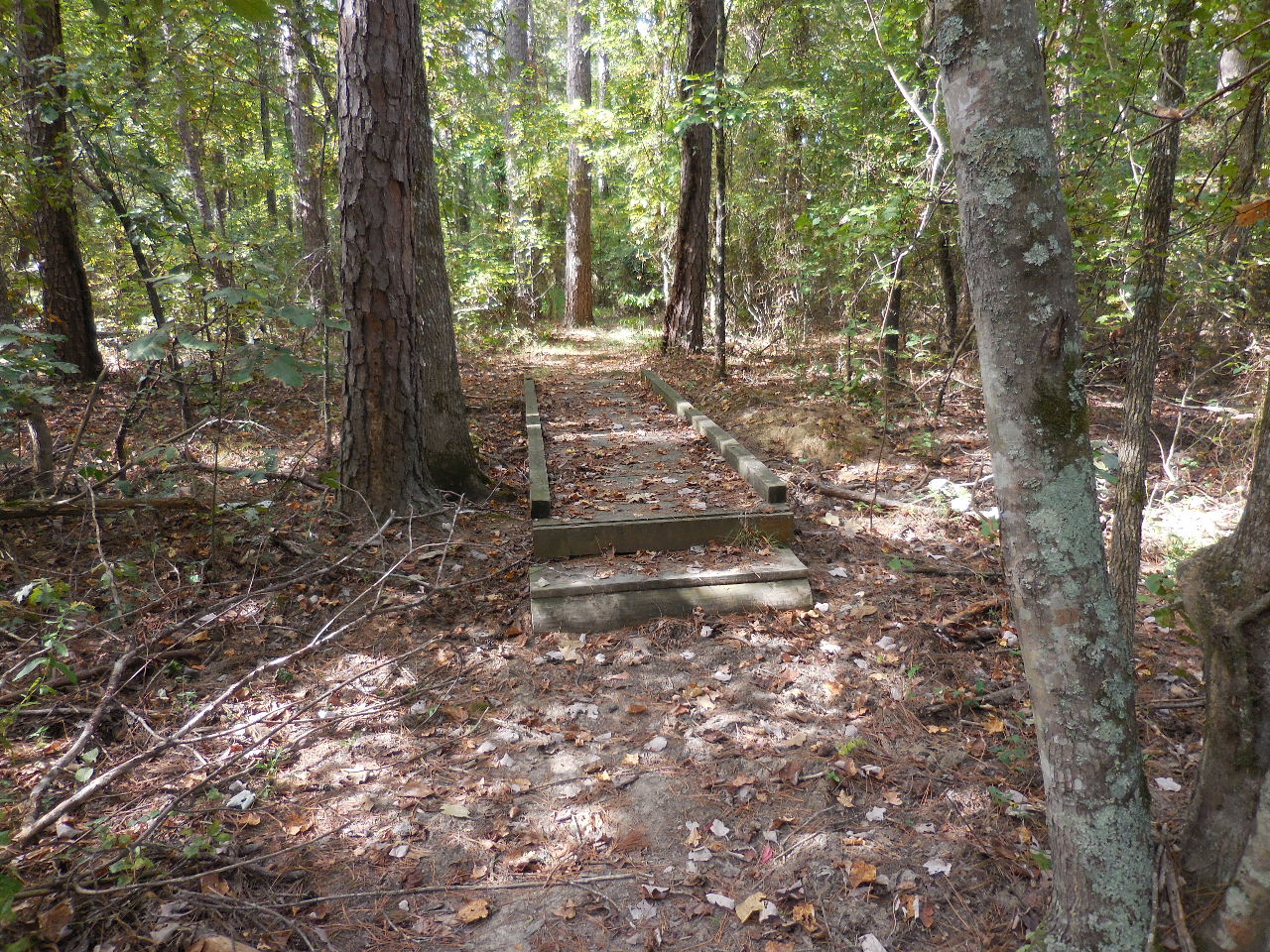 Bridge #5 35.22897°, 93.61470° |
 Fence corner. Trail follows fence for a short distance. 35.22755°, 93.61605° |
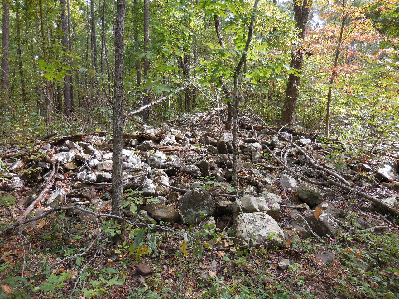 Rock Pile 35.22446°, 93.61661° |
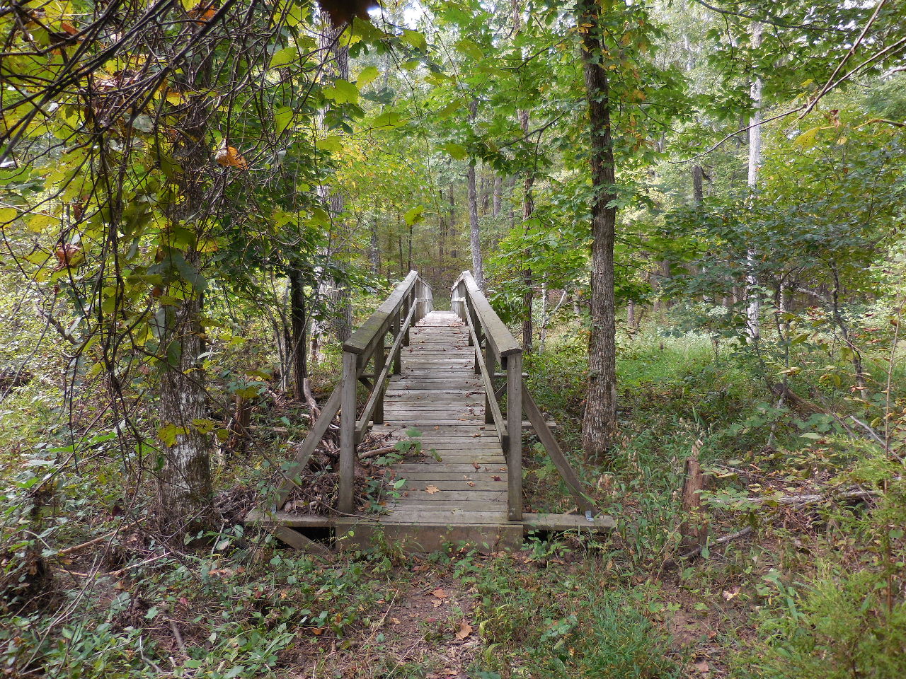 Bridge #6 (The Long Bridge) 35.22195°, 93.61629° |
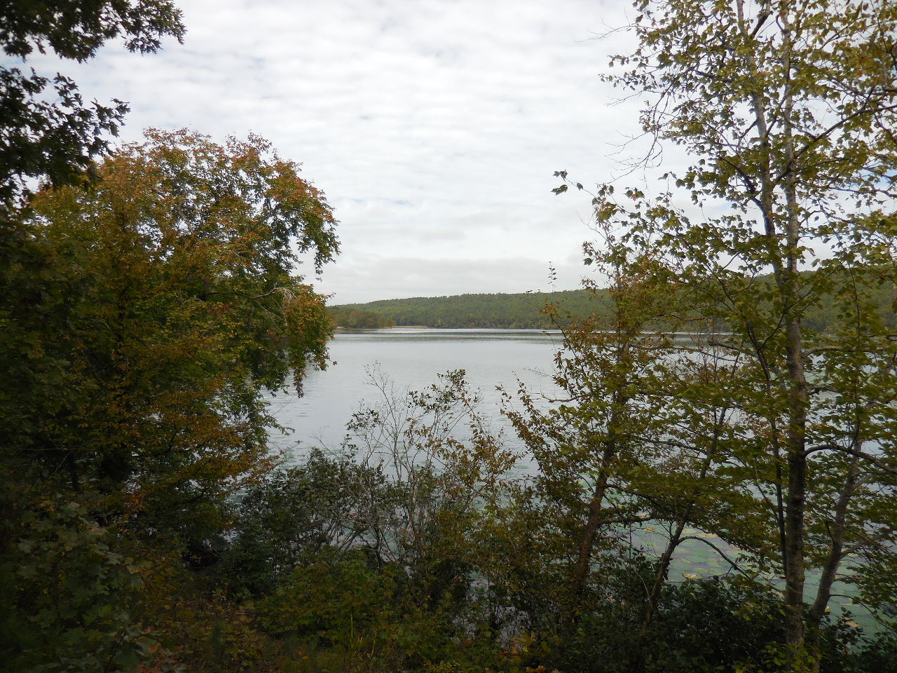 First view of lake from west end. |
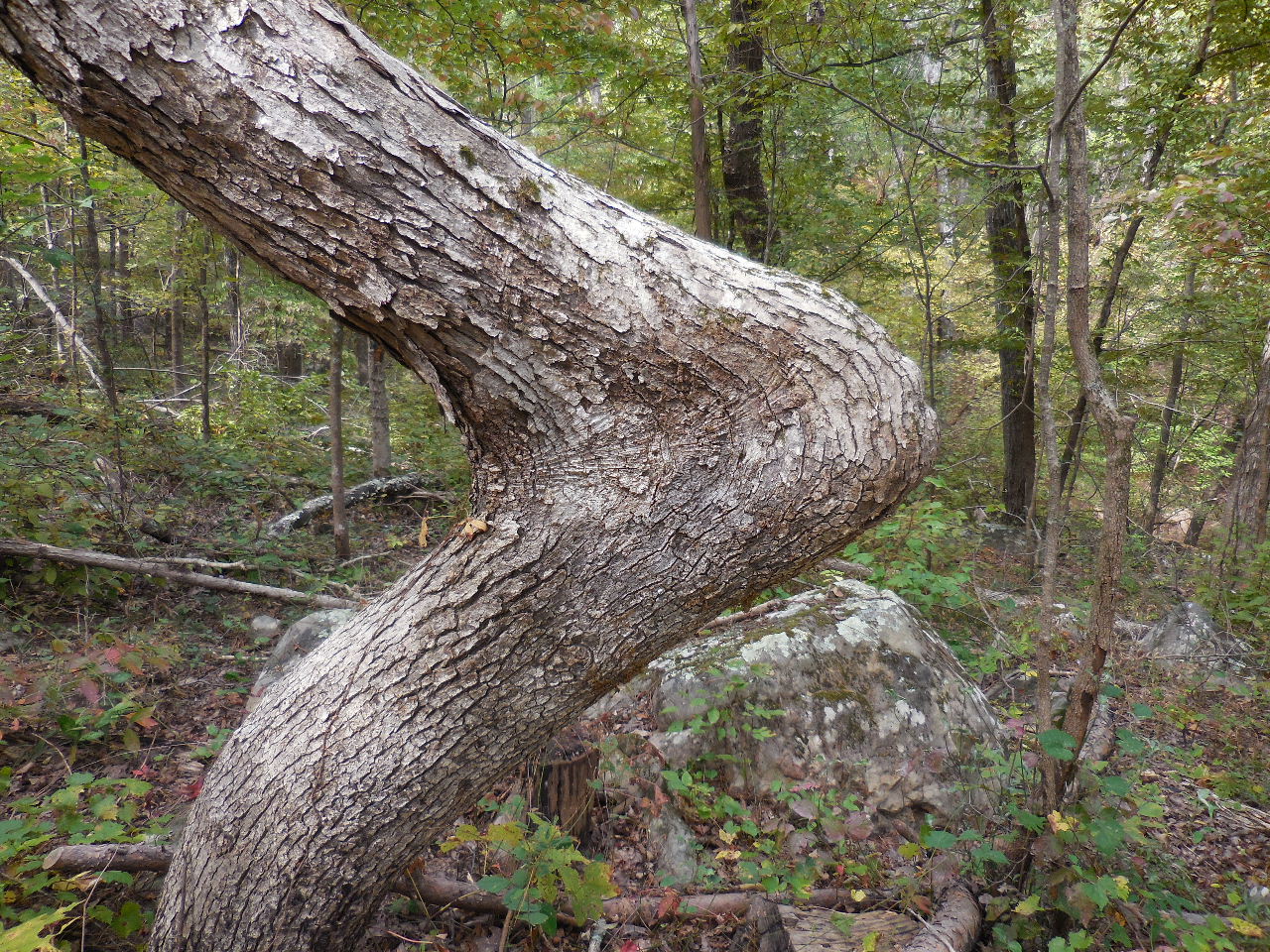 A very bent tree! 35.22193°, 93.62078° |
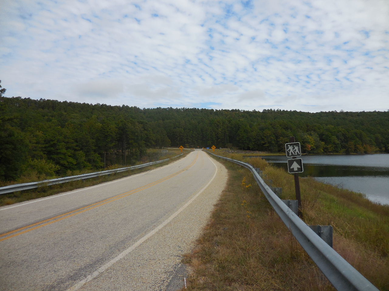
 End of trail at park road....... 35.22381°, 93.62269° (Cross road and trail begins again and follows lake) |
 Follow along lake shore.... |
 Access Point near Boat Ramp.... 35.22737°, 93.62531° |
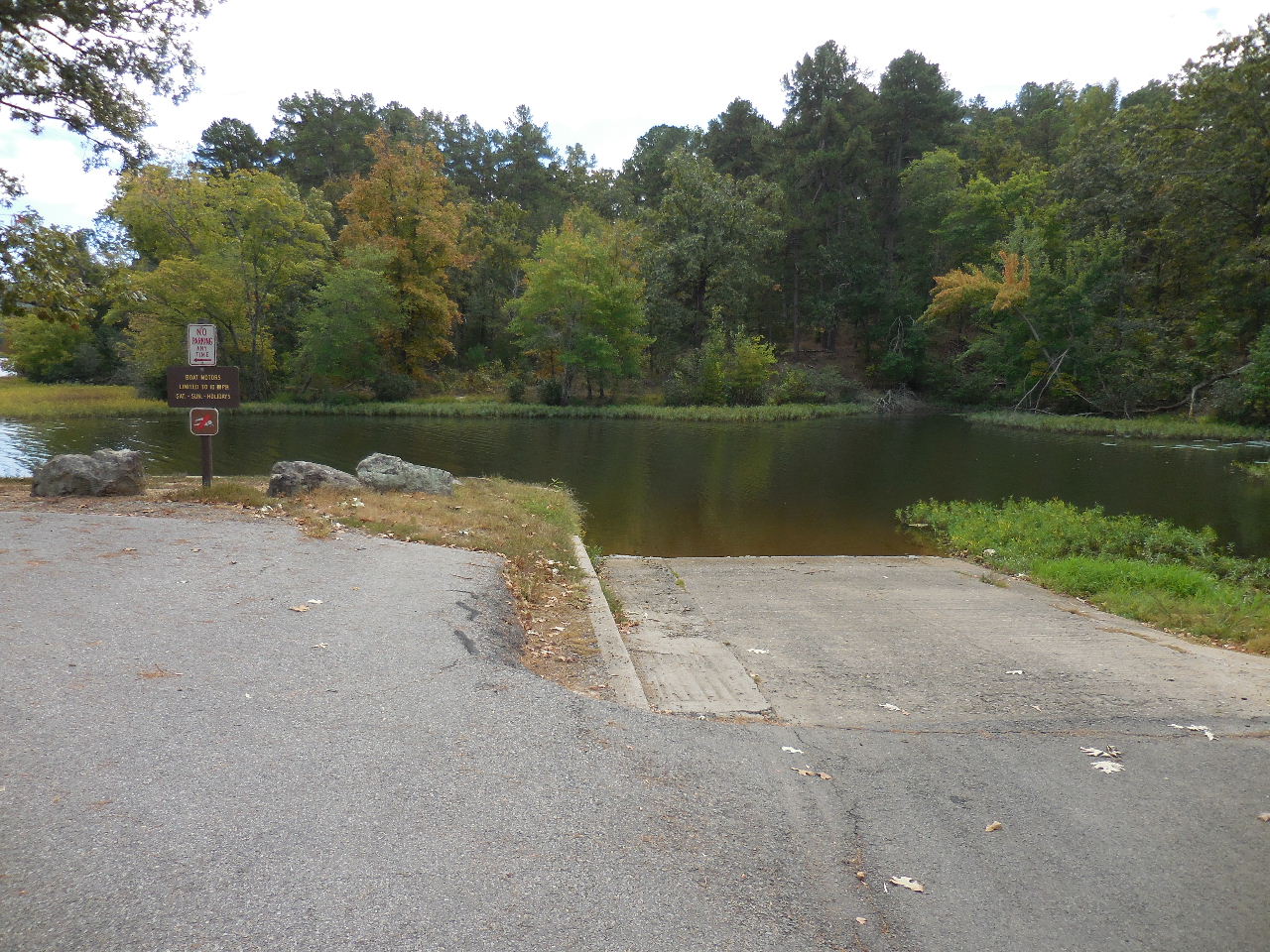 Boat Ramp |
 Head east along park road to Bathhouse (Trail picks up again on west side near Miniature Golf Area) |
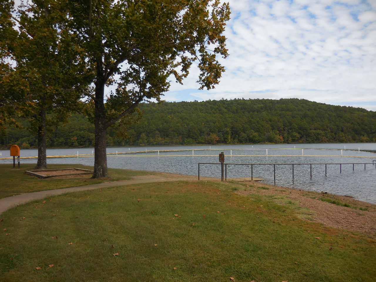 Public Swimming Area |
 View of swimming area and lake looking north. |
||
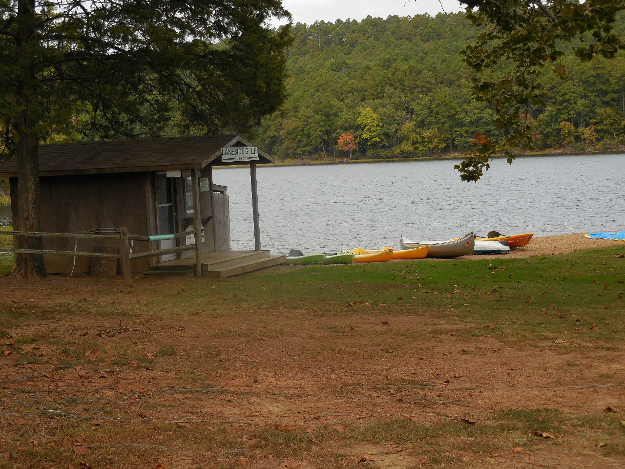 Canoe, kayak and miniature golf rental. |
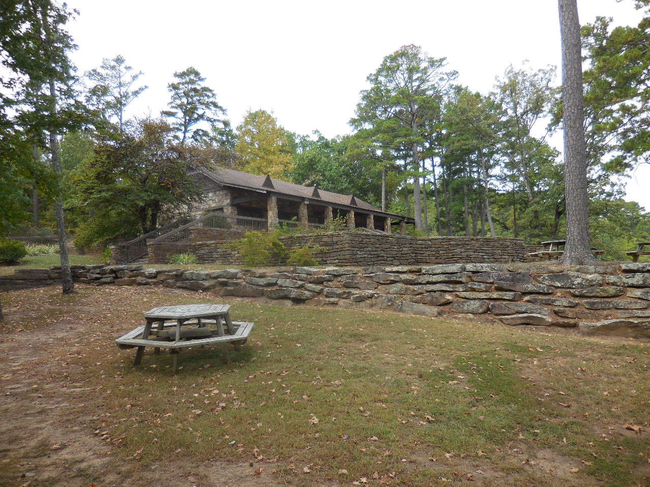
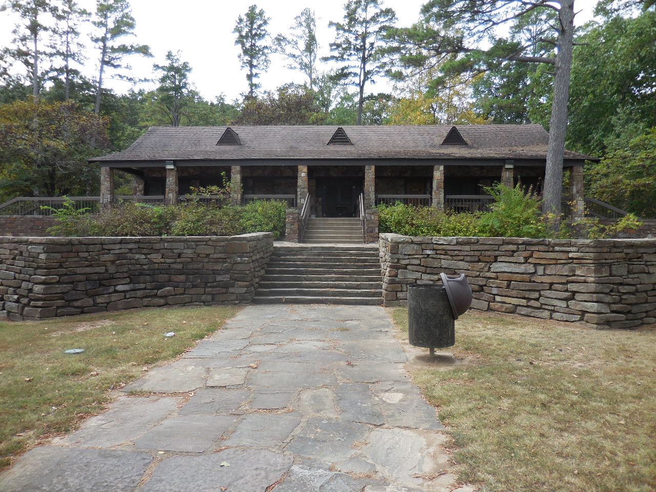 Bathhouse |
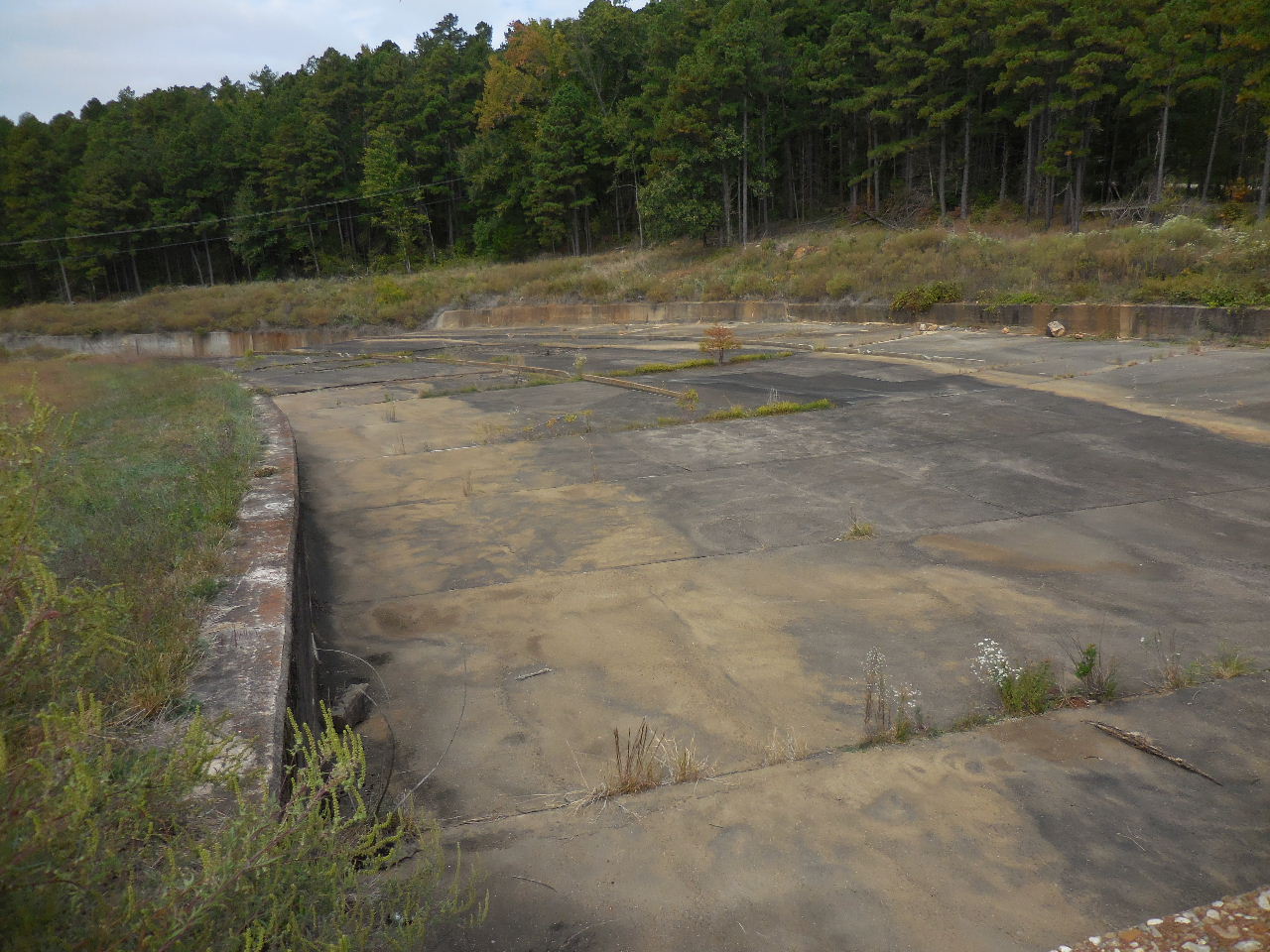
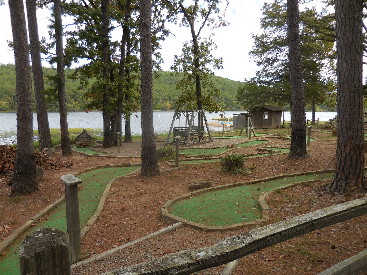 Miniature Golf |
 Trail begins again next to Miniature Golf. 35.22940°, 93.62693° (Trail follows lake to highway) |
 View from trail looking back at swimming area. |
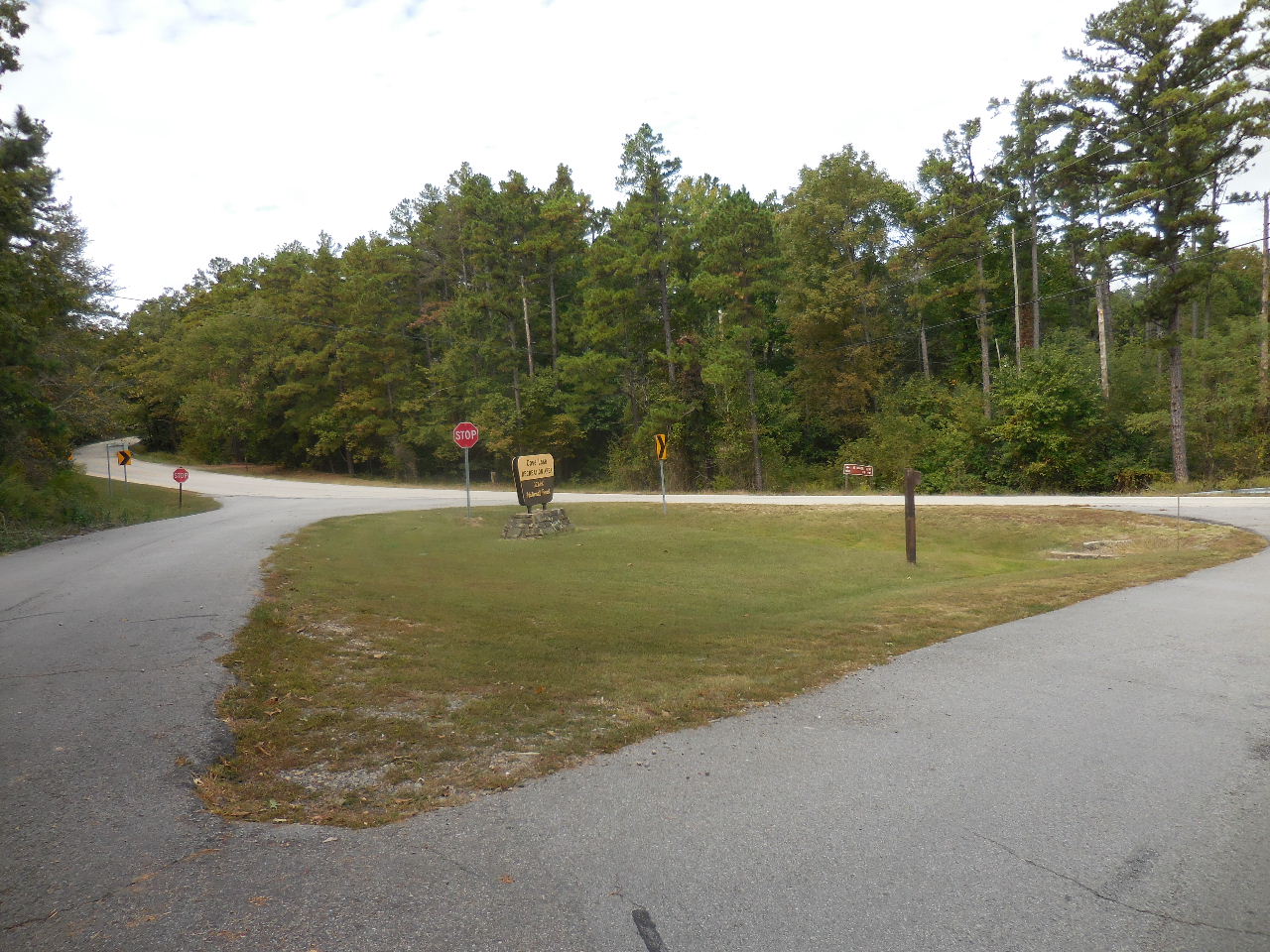 Trail comes out at this intersection. 35.23073°, 93.63052° |
 Entrance to park sign. 35.23088°, 93.63072° |
 Head north back to Parking Area "A" |
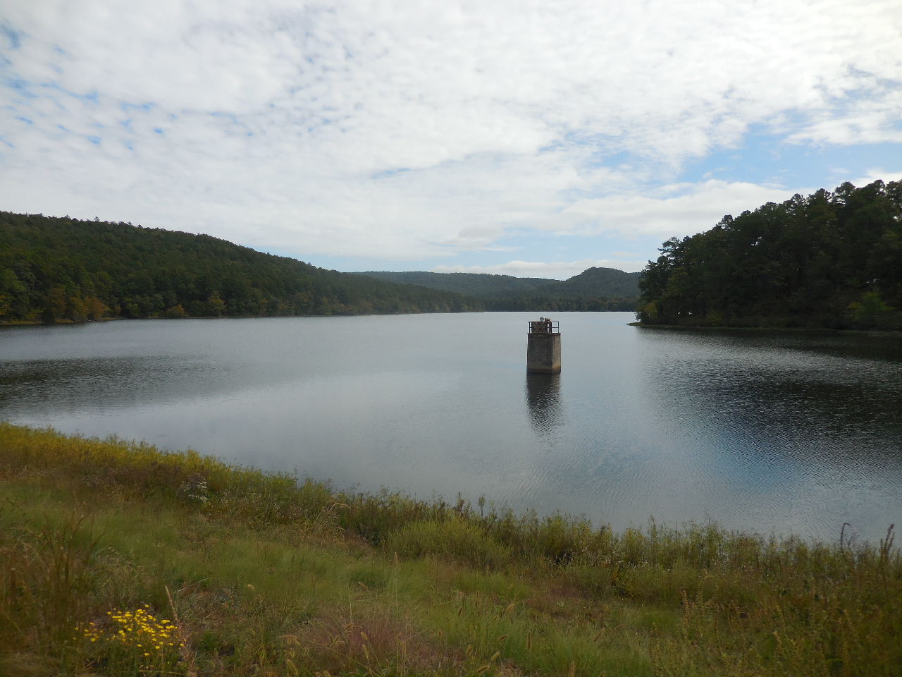 Looking east across lake. |
 Spillway on west side of highway. |
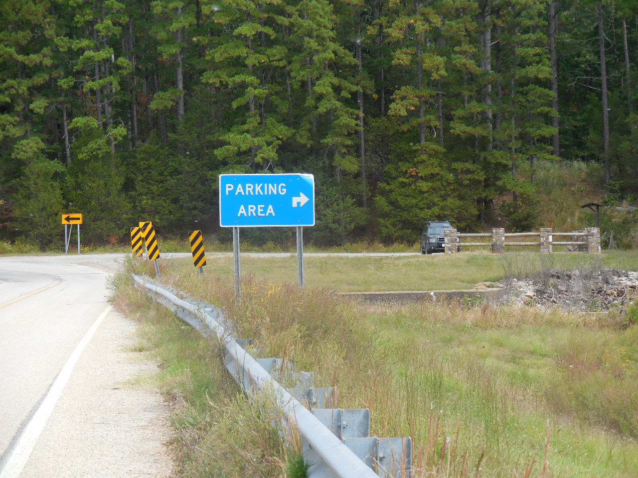 Parking Area "A" |
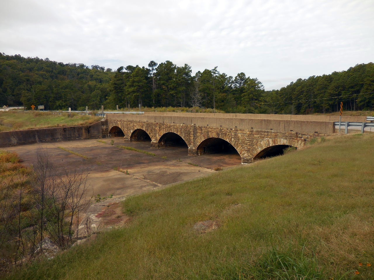 Spillway Bridge |