.jpg)
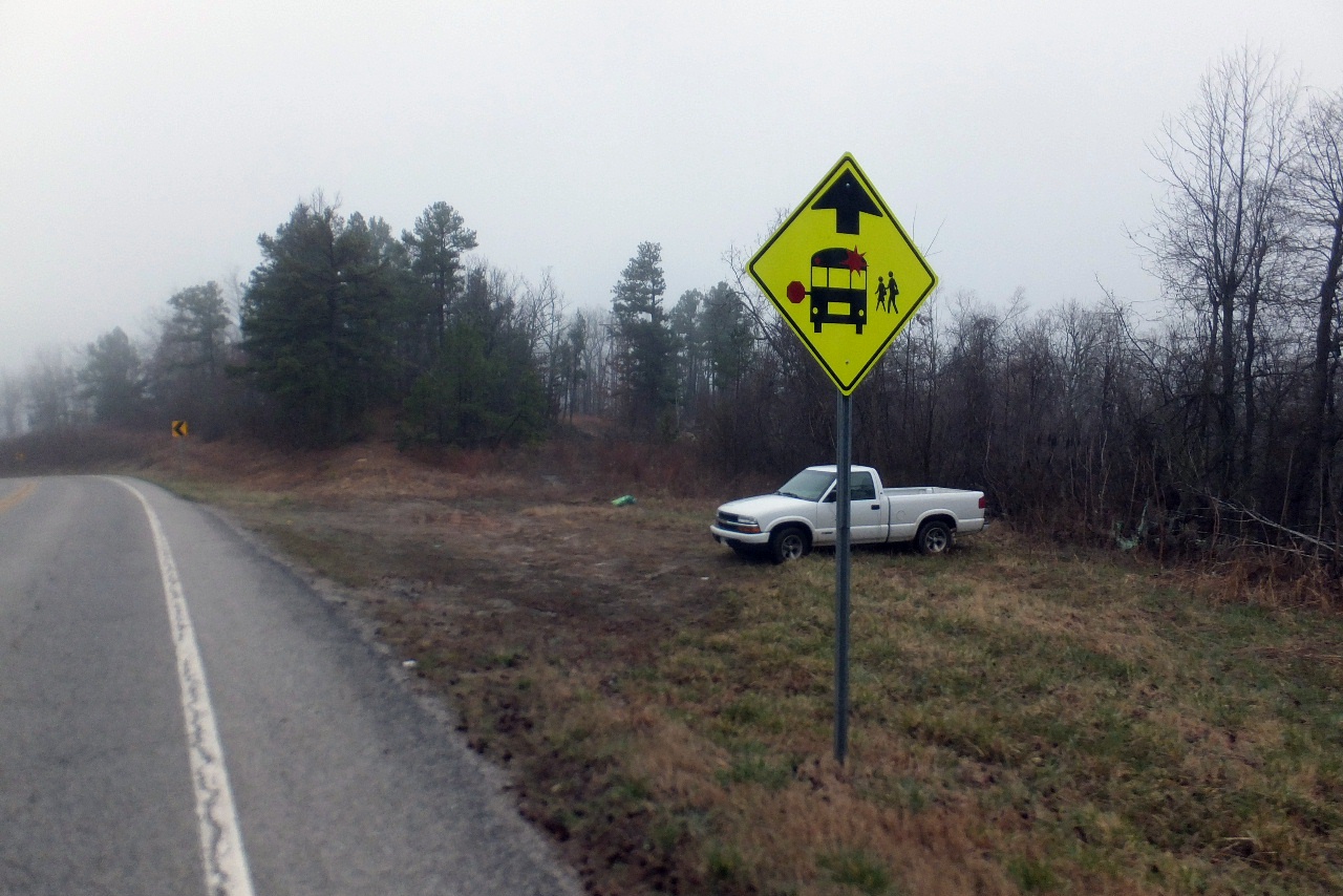
Parking Area
35.80237°, 93.12692°
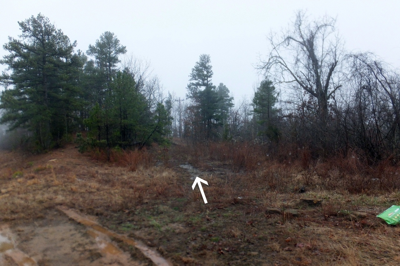
Follow old logging road into the woods
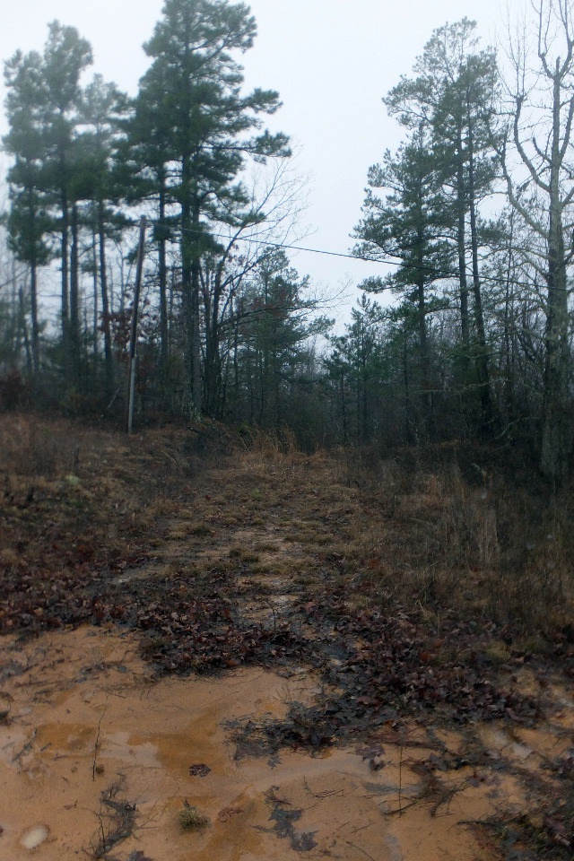
Continue to follow logging road
under power line.....
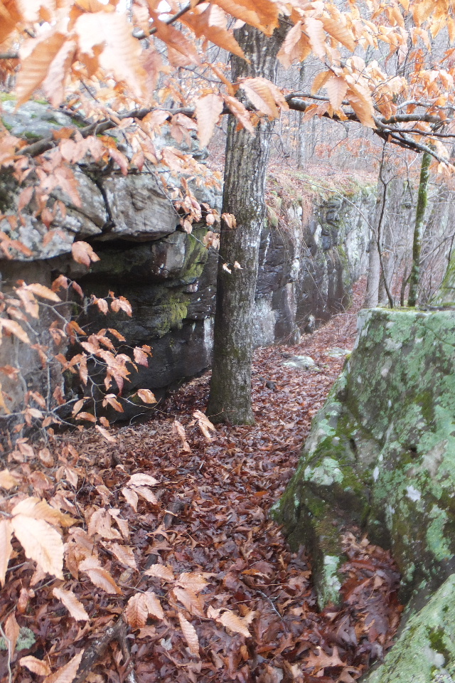
Access point off of bluff line
35.79397°, 93.13045°
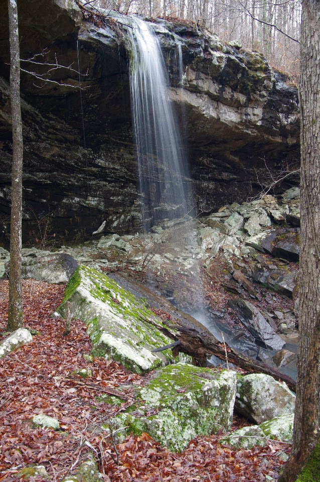
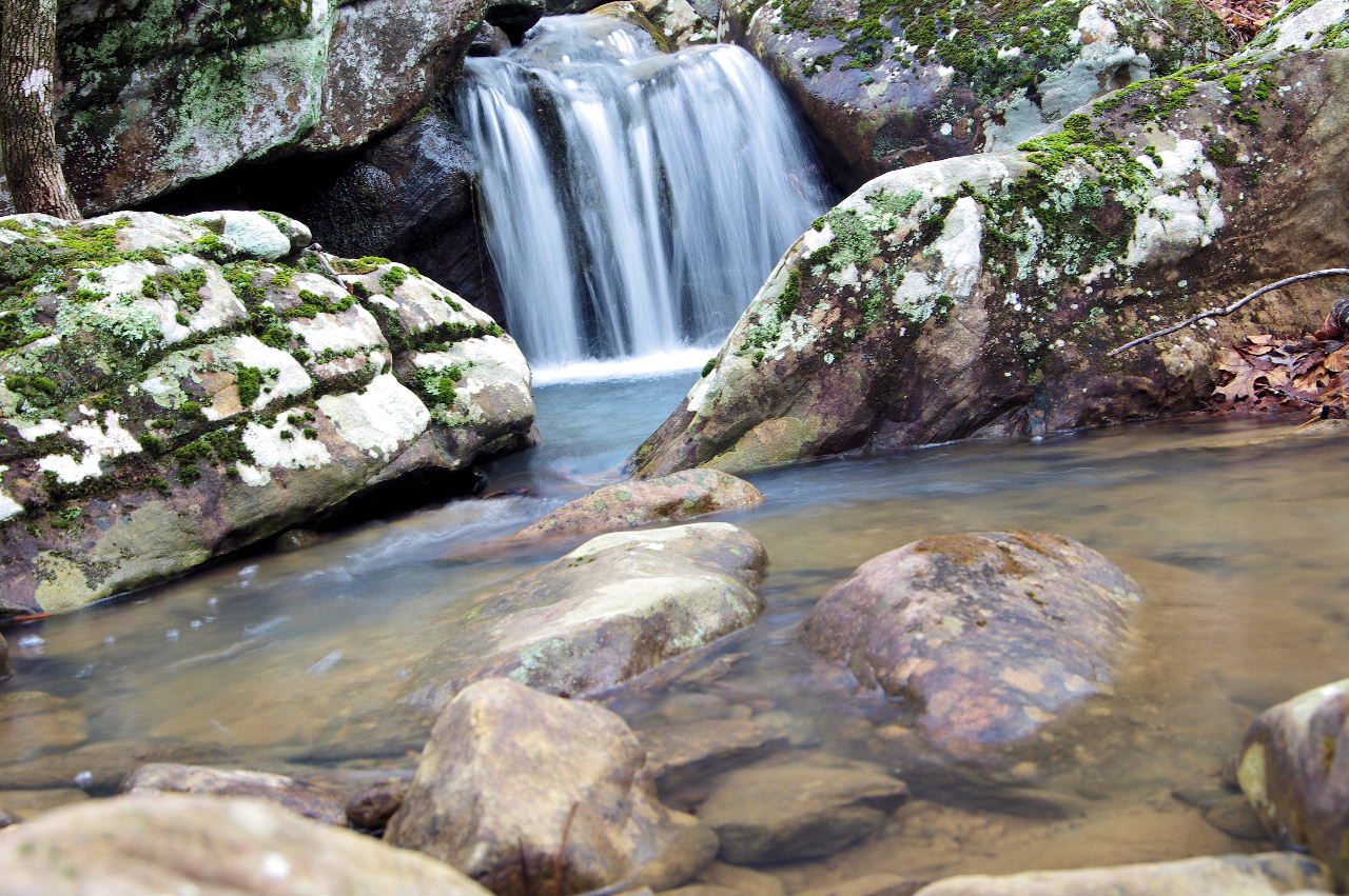
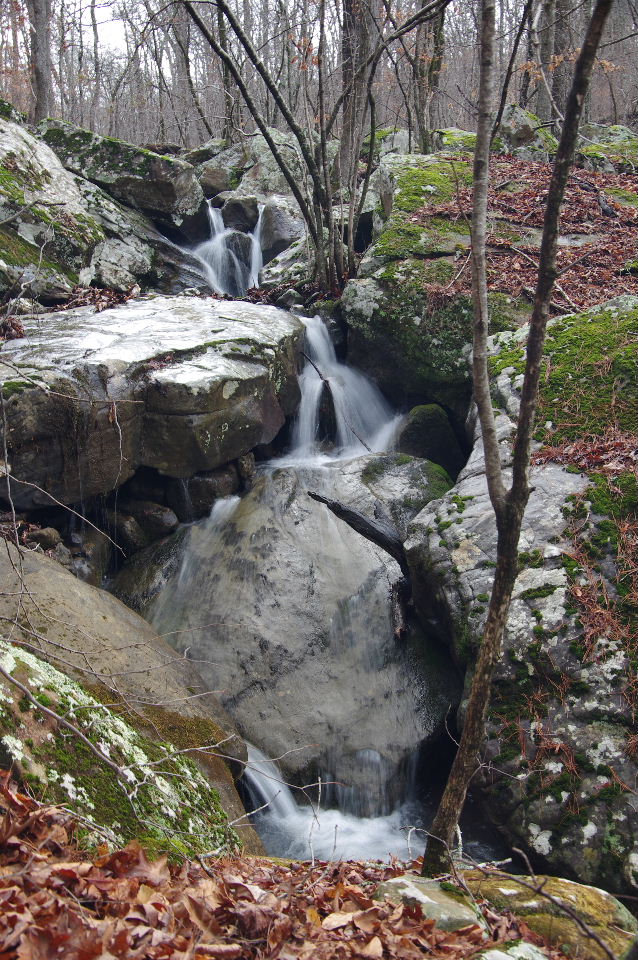
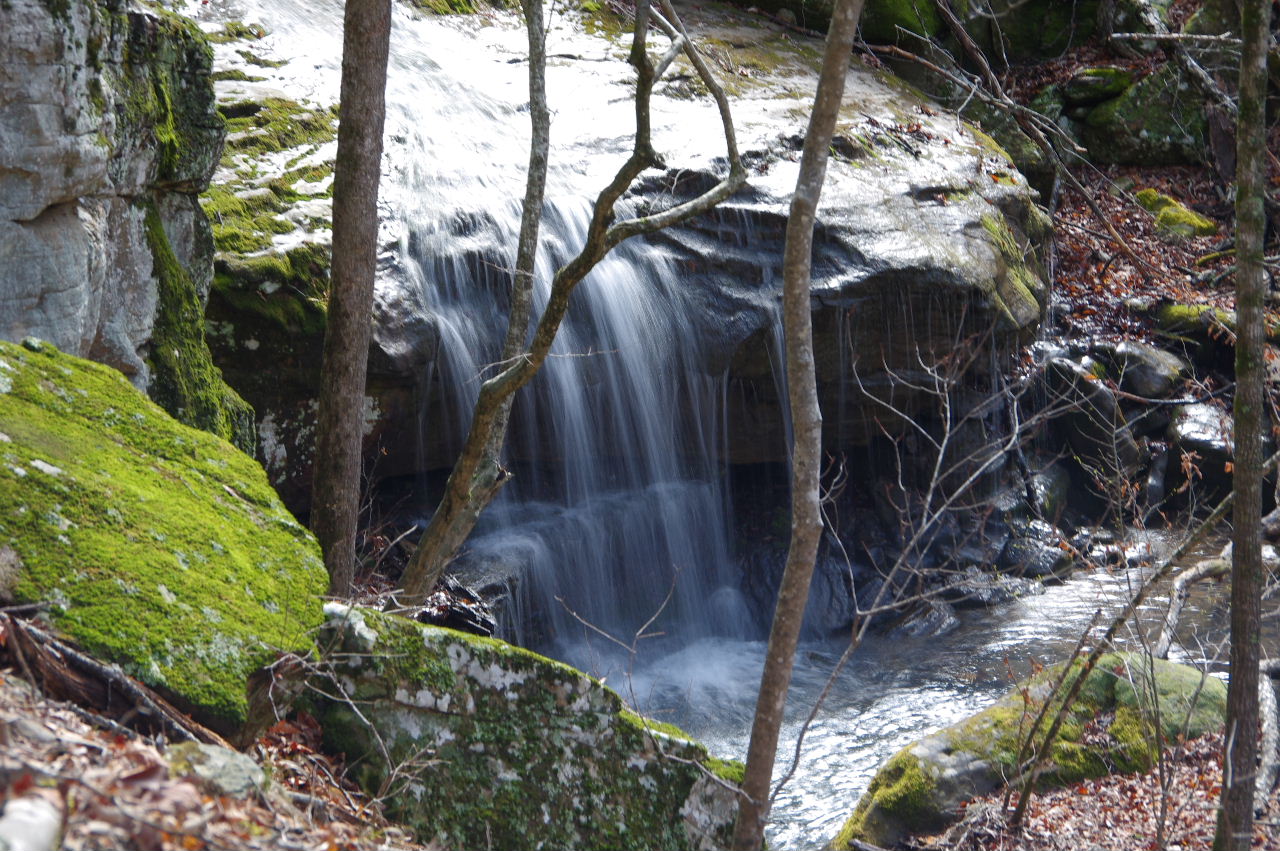
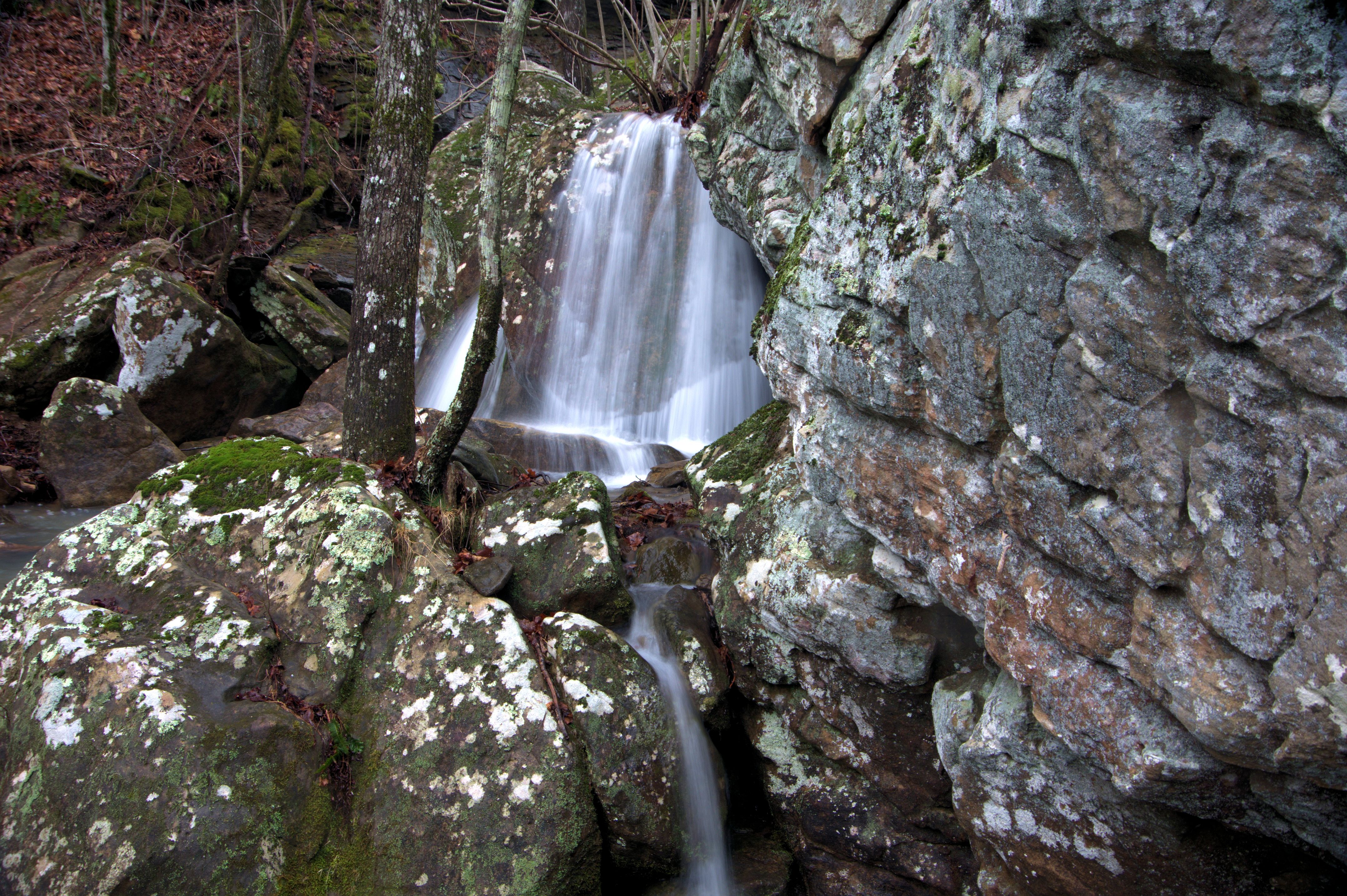
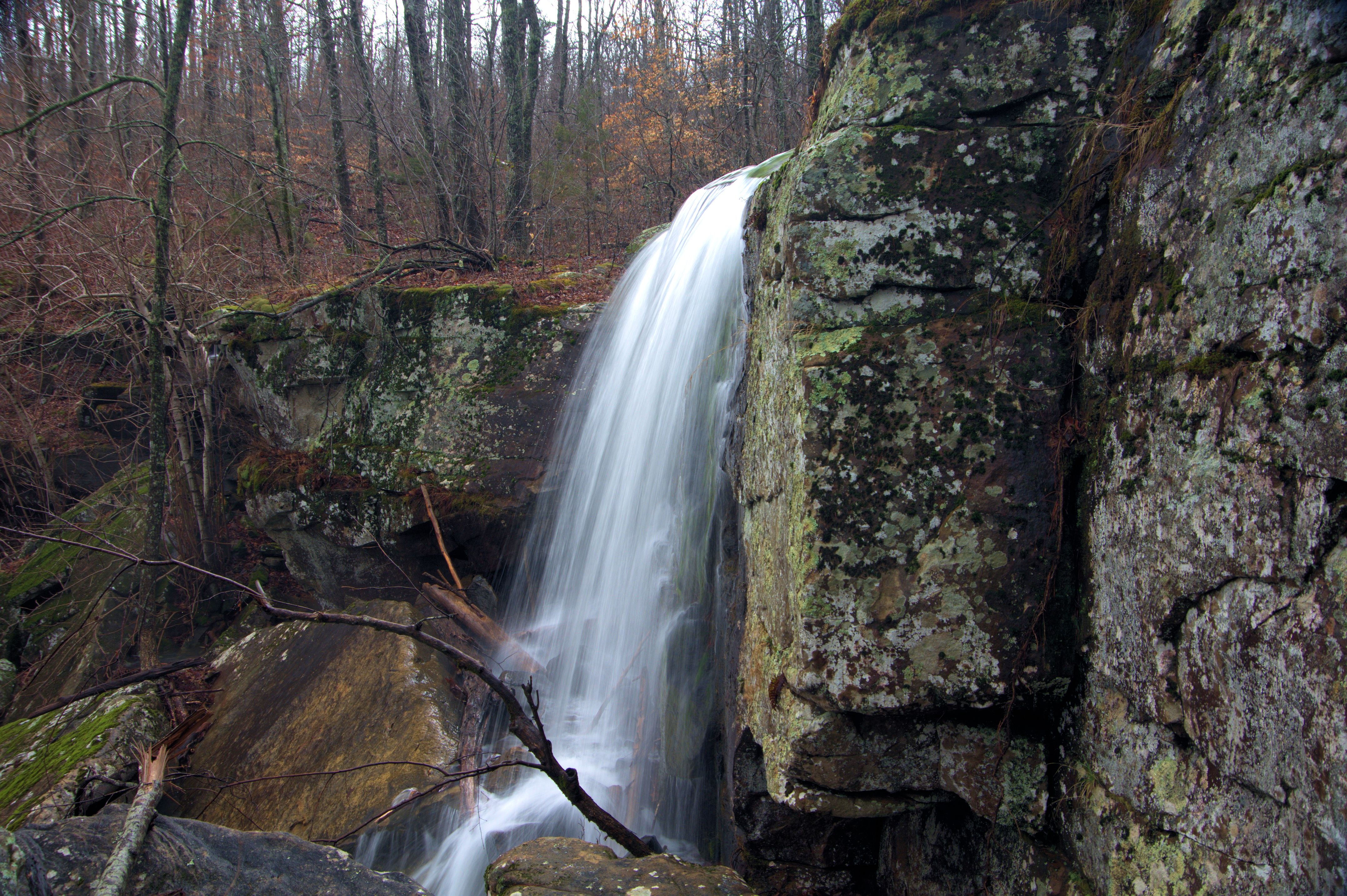
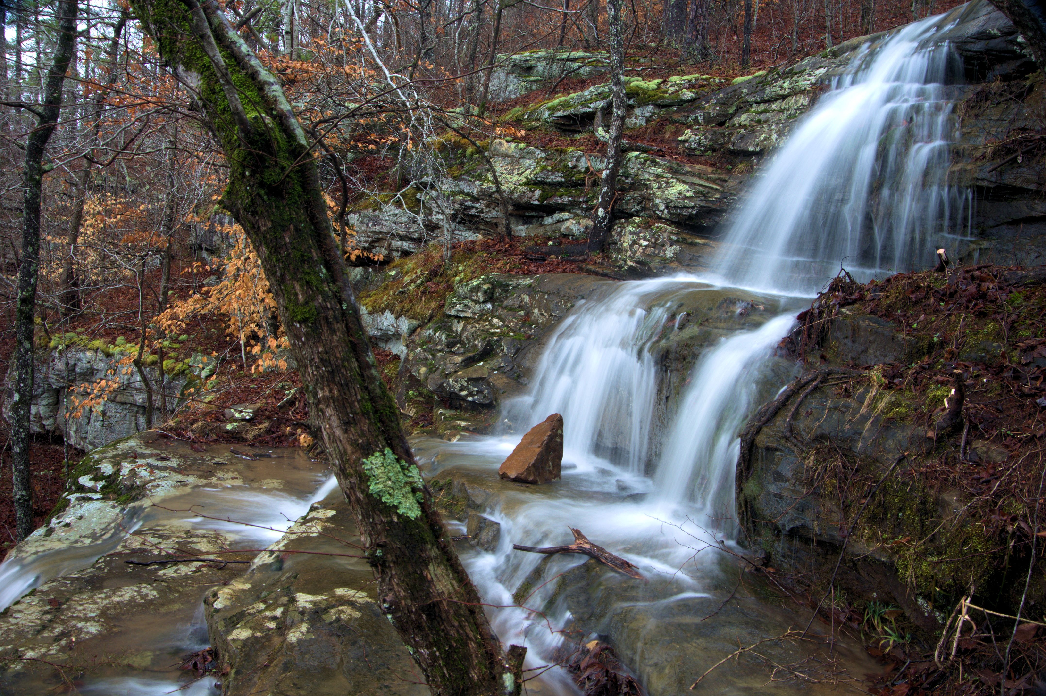
WF #1 Momma Cub Falls
35.79364°, 93.13010°
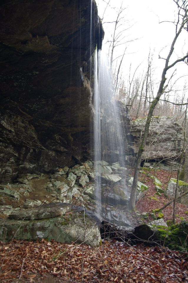
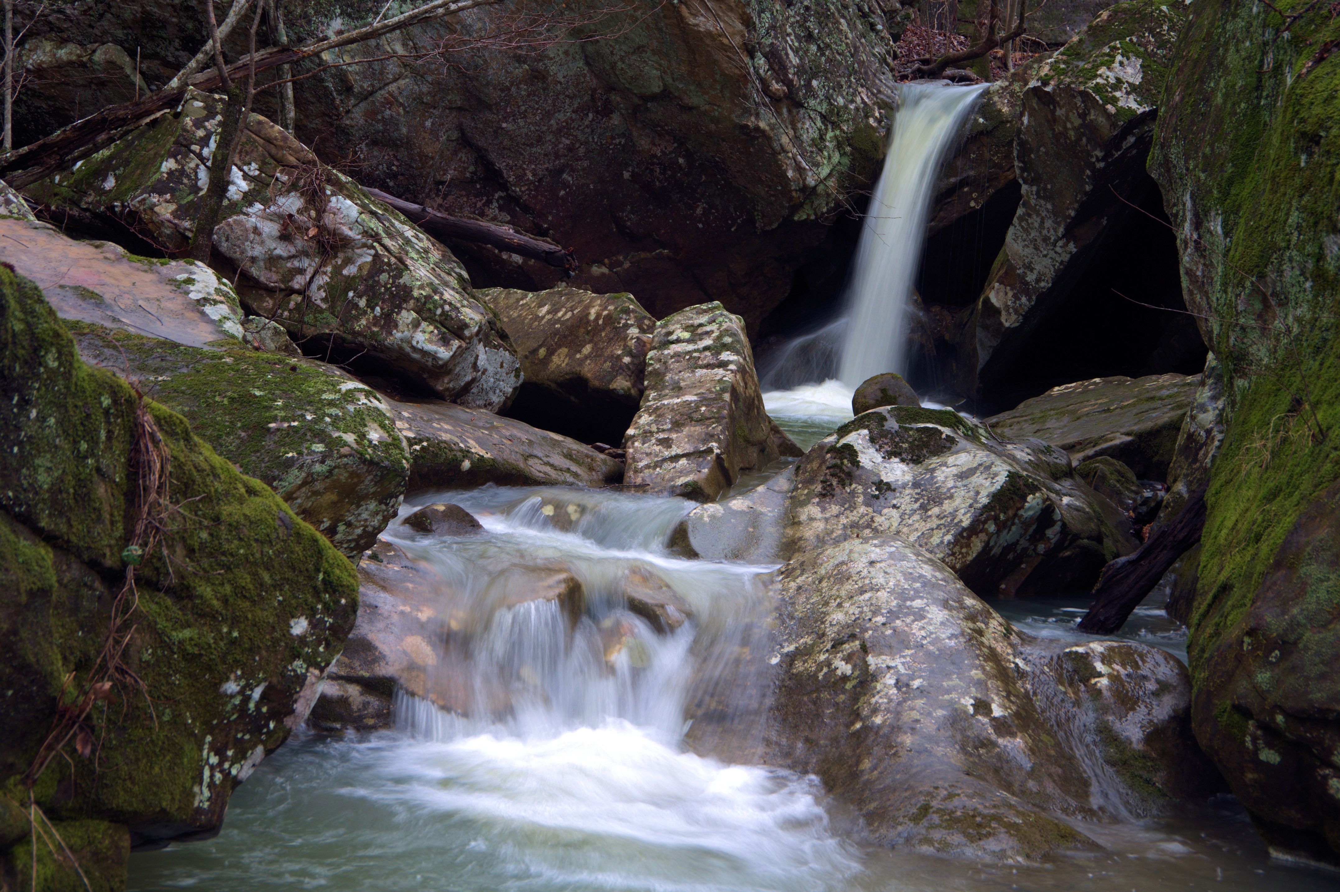
WF #1 Momma Cub Falls
WF #1 Momma Cub Falls
WF #1 Momma Cub Falls
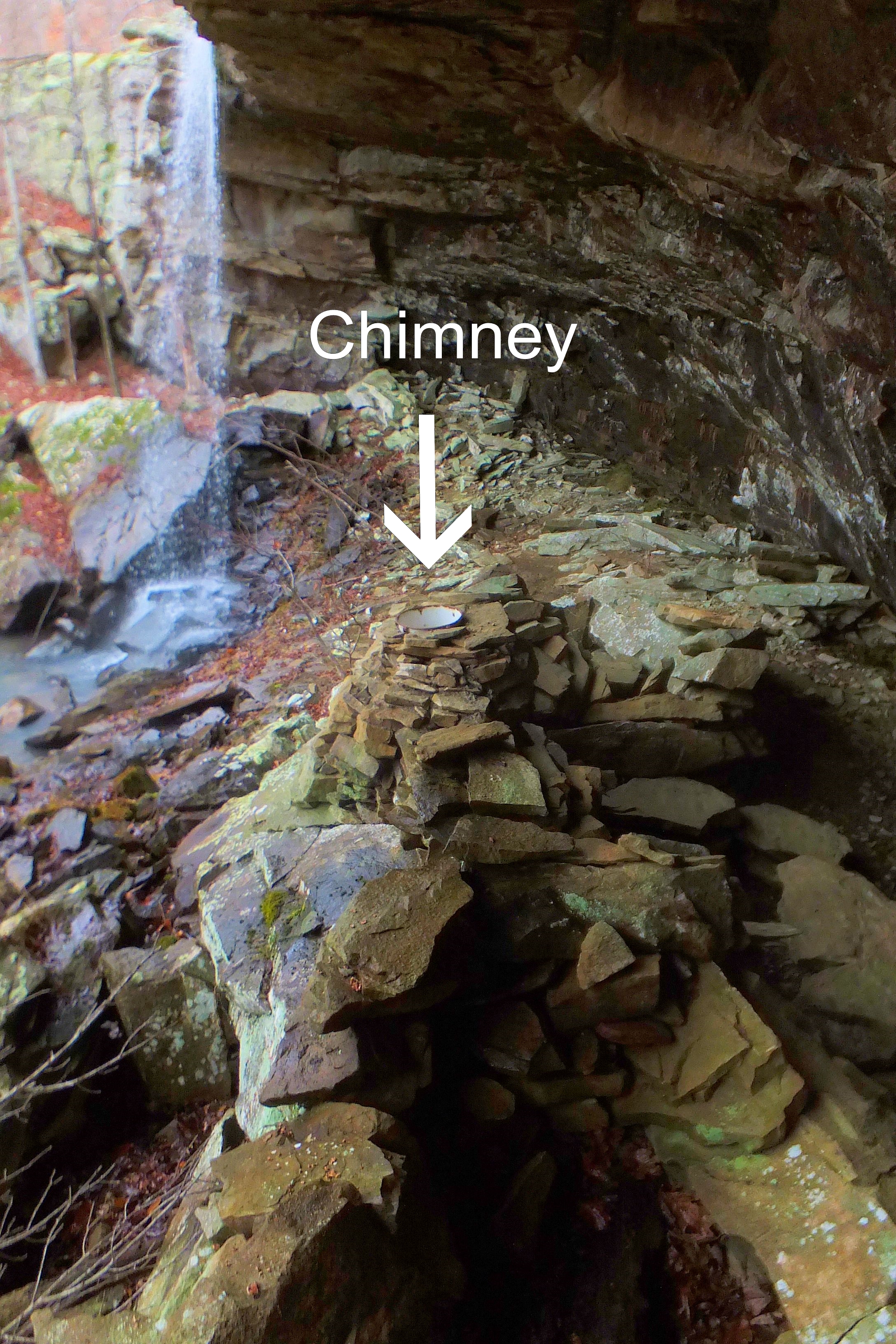
Fireplace under bluff w/chimney
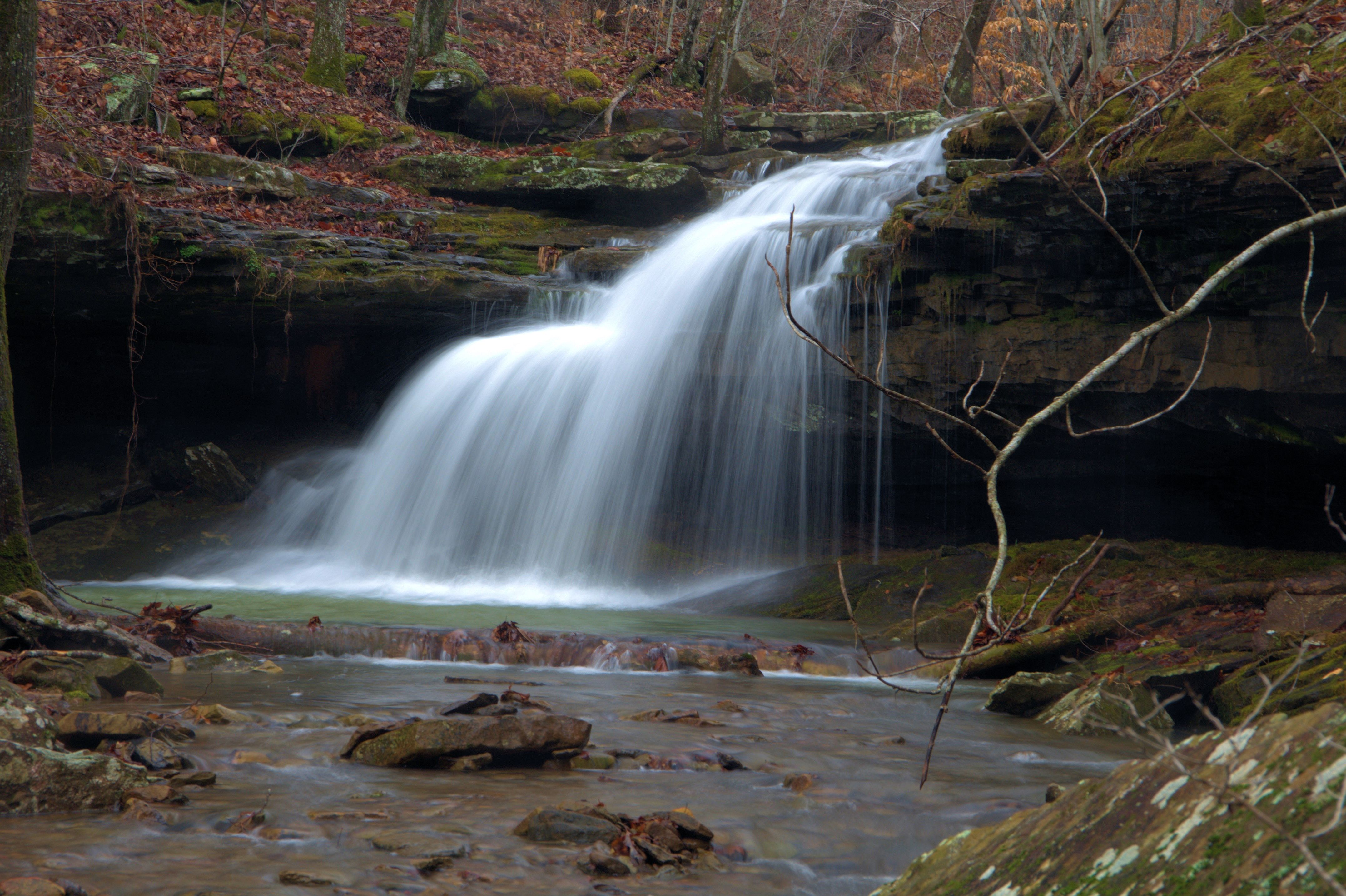
WF #2
35.79348°, 93.13267°
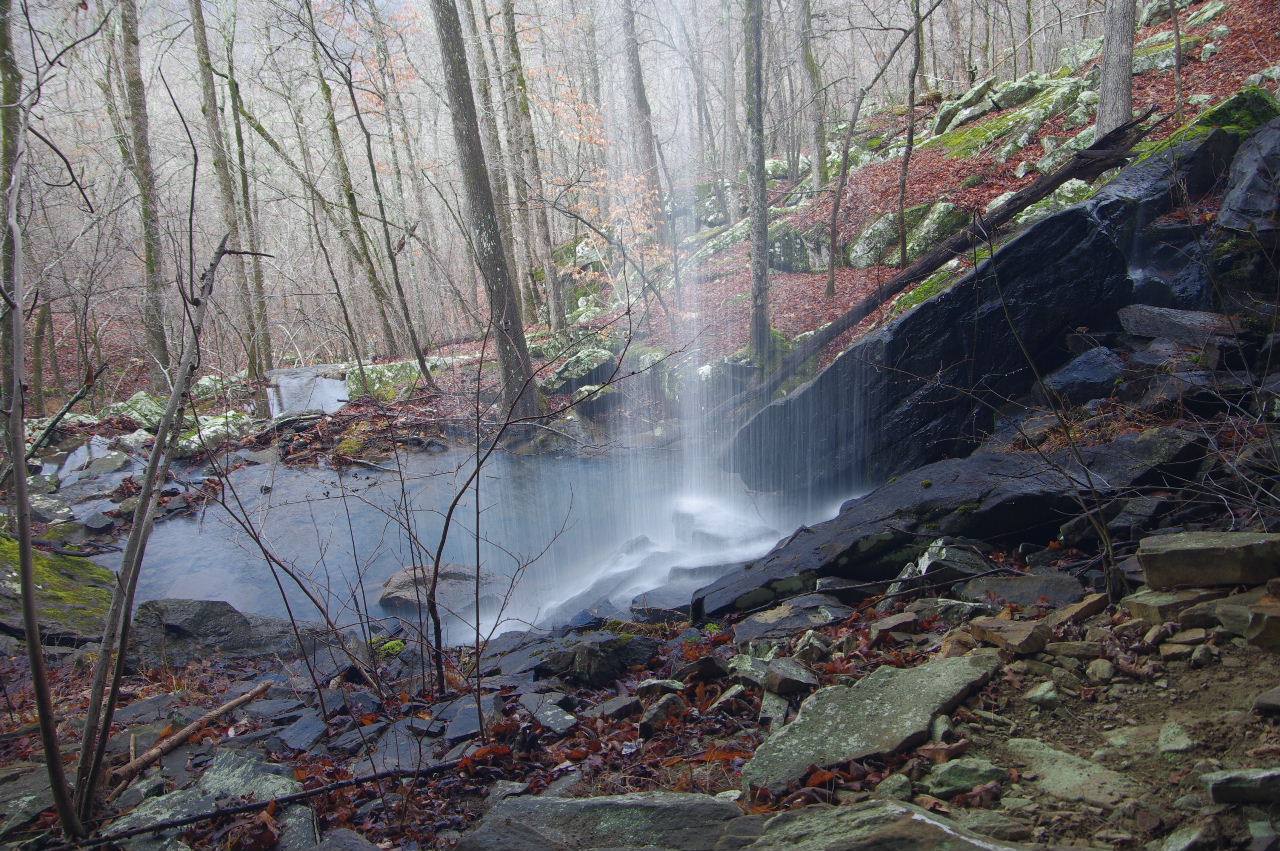
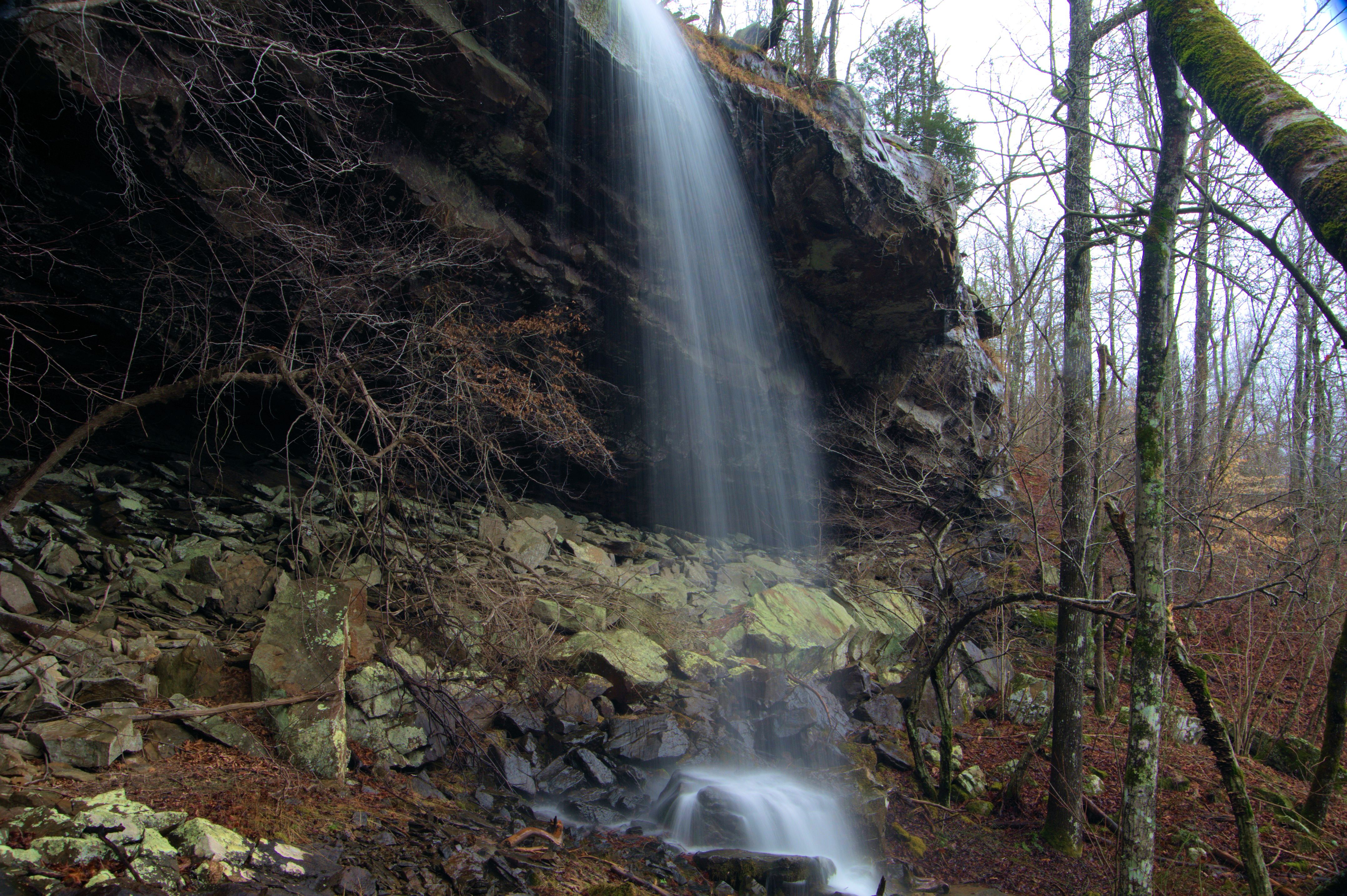
WF #3
35.79306°, 93.13398°
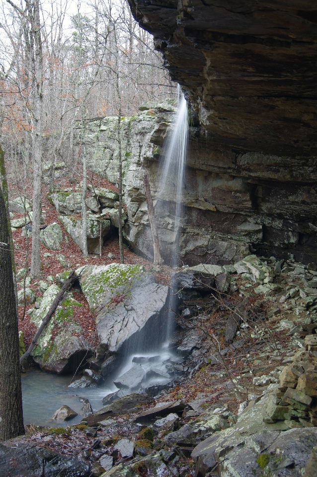
WF #4
35.79271°, 93.13489°
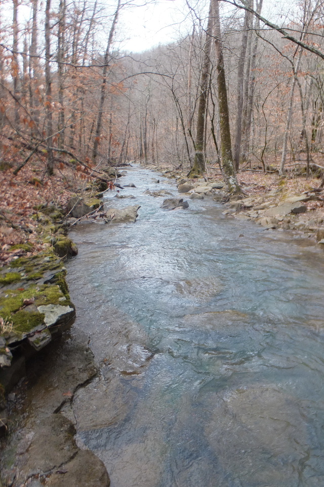
Cub Creek
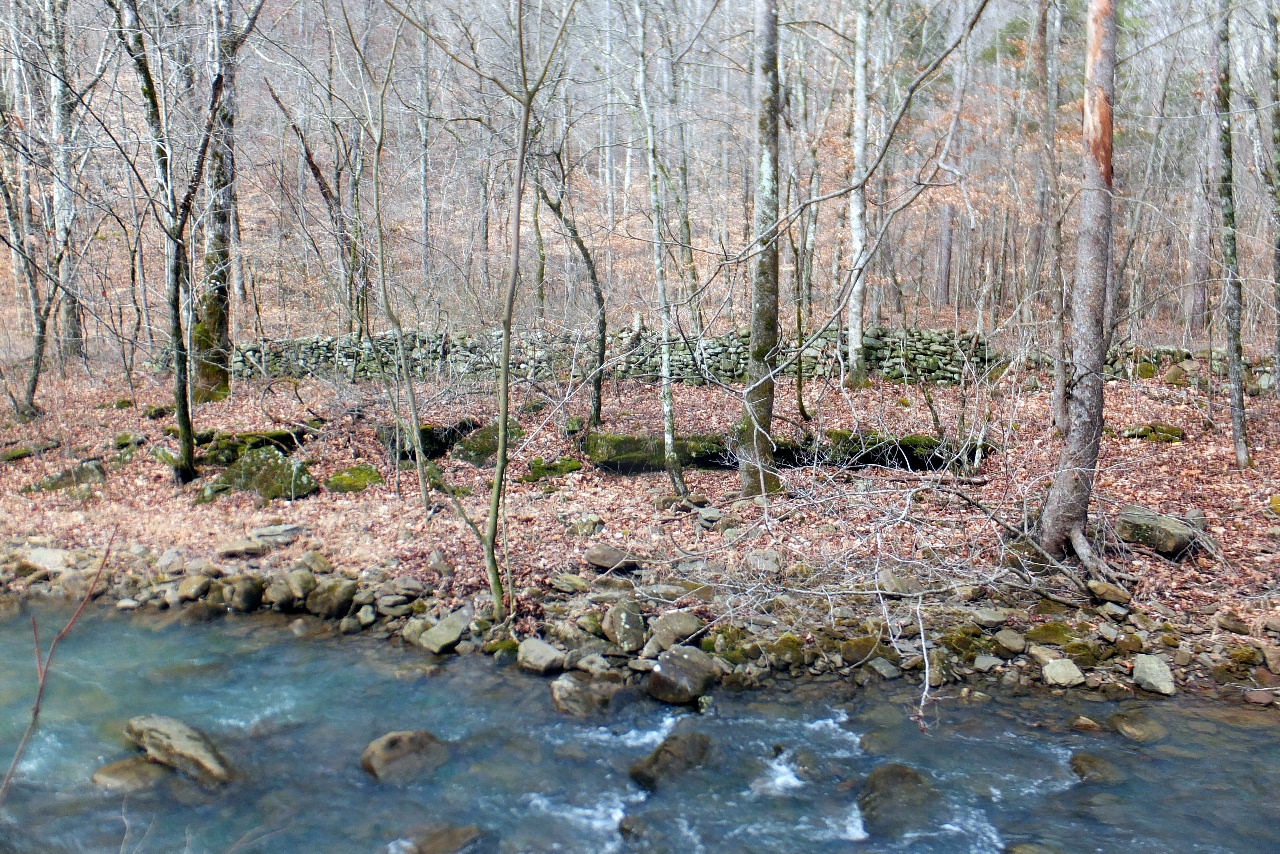
Rock Wall west side of Cub Creek
35.79147°, 93.13668°
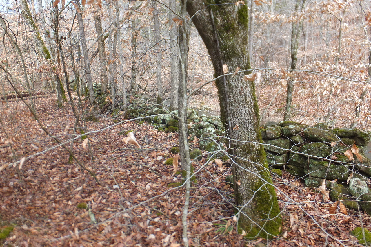
Upper Rock Wall west side of Cub Creek
35.79316°, 93.13671°

WF #5 Roly-Poly Cub Falls
35.79825°, 93.13655°
(No water today)

WF #6
35.79932°, 93.13457°
WF #7
35.80333°, 93.13462°
WF #8 Twin Cub Falls
35.80369°, 93.13539°
WF #9 Harper Falls
35.80359°, 93.13402°
WF #10 Baby Cub Falls
35.80563°, 93.13391°
WF #11 Pappa Cub Falls
35.80504°, 93.13348°
WF #12 Fuzzy Cub Falls
35.80241°, 93.13214°
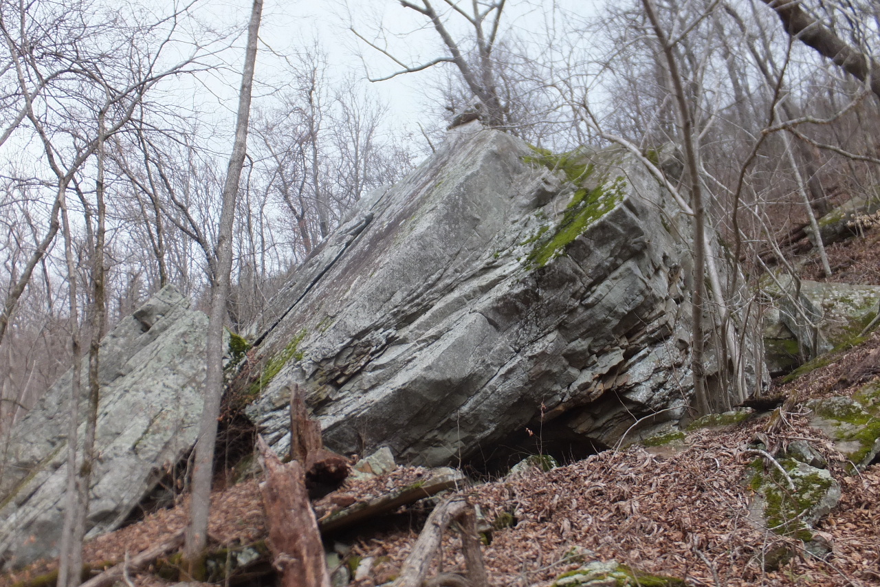
Large Boulder
35.80008°, 93.13263°