TAKAHIK River Valley Hikers
Home  Scheduled Hikes  Pictures  Videos  Membership  Links  Trails & Waterfalls  Mushrooms Products   In Memory Of
FAIRVIEW CAMPGROUND & HISTORIC CCC NURSERY SITE


FAIRVIEW CAMPGROUND & HISTORIC CCC NURSERY SITE
Fairview Campground & Historic CCC Nursery Site is one of six Historic Sites in the Ozark National Forest.  The others include, Bayou Bluff Recreation Area, Long Pool
Recreation Area, Sand Gap CCC Historic Site, Ozone Recreation Area and White Rock Mountain.
Fairview Campground is located at the site of a former fire tower previously staffed by members of the CCC (Civilian Conservation Corps) during its operation. Directly across Hwy. 7
 is the site of the old Fairview Nursery. It was organized on February 12, 1939 for Company #746 (Project #F-30). This site provided many of the seedlings that reforested the bare
Ozark Mountains in the wake of overzealous logging by early settlers. It has many existing foundations including a vehicle maintenance rack, tiered areas for plant tables and a large
 foundation for what may have been dormitories.


  FAIRVIEW CAMPGROUND  
NOTE: The Big Piney Ranger District is considering decommissioning the Fairview Compground as per letter dated 6/13/14.
The purpose of this project is to reduce the number of underutilized recreation areas on National Forest. The use of Fairview Campground
has sharpley declined since Rotary Ann Rest Area was developed in 2006.
The decommission will remove camping amenities and reseed areas disturbed during removal of improvements. The vault toilet will be removed.
The OHT parking area would remain open for access and the project area would be available for dispersed camping once decommissioning activities
were completed. Some improvements may be made to the trailhead parking area and the OHT may have a short reroute in order to improve
trail access. (The OHT reroute has been done)
A Scoping Notice was published in The Courier newspaper on June 15, 2014.


Looking south on Hwy. 7

Entrance Sign

 Entrance to Fairview Campground
(Forest Road 1230)
35°44.291', 93°05.596'

Bulletin Board & Fee Station
35.73825°, 93.09425°


Fee: $7 Per Day

Vault Toilet
35.73841°, 93.09399°

"A" Drinking Water
35.73858°, 93.09384°
(Lurton-Pelsor Rural Water)

Parking Area
Ozark Highlands Trail
35.73875°, 93.09374°

Access Entrance to OHT from Parking Area
35.73894°, 93.09366°

Plan ahead and prepare: Travel and camp on
durable surfaces; Dispose of waste properly; Leave
what you find; Minimize campfire impacts; Respect
wildlife; Be considerate of other visitors.

Intersection of OHT and Access from
Parking Area
35.73924°, 93.09376°

To our friend Bob that hiked 125.6 mies through these
hills until Heaven called him  home after a three-year
battle with cancer. We will miss your smilt and laughter
on these last few miles of the OHT. Just like your
time on earth has passed so will these last few miles
that lay ahead of us.  We will miss you!

OHT and Hwy. 7
35.73977°, 93.09321°

Sign at Hwy. 7 Ozark Highlands Trail
(National Recreation Trail)

Table #1 (Firepit/Tent Site)
35.73872°, 93.09404°

Table #2 (Firepit/Grill/Tent Site)
35.73841°, 93.09453°

Table #3 (Firepit/Tent Site)
35.73816°, 93.09455°

Table #4 (Firepit/Tent Site)
35.73769°, 93.09487°

West Gate
(Table #5 shown on left)
35.73755°, 93.09464°

Table #5 (Firepit/Tent Site)
35.73757°, 93.09452°

East Gate
35.73765°, 93.09431°

Table #6 (Firepit/Tent Site)
35.73788°, 93.09426°

From Table #6 looking north

  SOUTH LOOP (CLOSED)  

West Gate looking south
35.73755°, 93.09464°

"B" Drinking Water
35.73736°, 93.09458°
(Not in Operation)

Campsite #7 (CLOSED)
35.73681°, 93.09458°

Campsite #8 (CLOSED)
35.73666°, 93.09409°

Campsite #9 (CLOSED)
35.73715°, 93.09393°

Campsite #10 (CLOSED)
35.73745°, 93.09407°

  TOWER SITE  
 
Detail Map (nts)
 
The site of the former tower has been recorded as an historical archaeological site with the Arkansas Archeological Survey and assigned the number 3NW1161.

Looking south at Tower Site

Bulletin Board
35.73789°, 93.09445°


Tower Location looking south
35.73778°, 93.09448°

Fairview Lookout Tower

The Fairview Lookout Tower
(Photo taken in 1948)

Looking through the pines at Fairview planting site.
Lookout Tower in background, 1936.
Ozark Historical Photo 335364

Looking north from Fairview Lookout Tower showing
shortleaf pine plantation, planted in 1930.
Ozark Historical Photo 371059

Interior photo with CCC employee on duty.
Ozark Historical Photo 335365 (1936)

Fairveiw fireguard sighting fire through
the alidade and calling in directions.
Ozark Historical Photo 371134

Conc. pad for steps up to tower.

Looking west from Pedestal #3

21/2'x21/2' Conc. w/metal lid?
Located just north of well.

Well house pedestals, well, etc. (Looking west)
35.73777°, 93.09460°

Well house at Fairview. Planted shortleaf pine on
the left. (Photo 1937)
Ozark Historical Photo 343640

Well with metal cover.

From Well looking east

8'x8' Conc. Slab with 21/2'x21/2' Conc. Lid?
35.73774°, 93.09453°

Conc. Lid?
     

FAIRVIEW NURSERY SITE

Map of Nursery Site (nts)
This small nursery was started at Fairview in the Pleasant Hill Ranger District in the spring of 1929. Seed was sown for 100 million seedlings,
but difficulties in securing an adequate source of water caused this site to be abandoned. After investigating several sites within forest boundaries,
the Forest Service leased land from Arkansas Polytechnic College (now Arkansas Tech University) in Russellville. An equipment building was completed
and the first seed sown in March, 1930. The nursery was enlarged to capacity by the spring of 1932.  It remained in operation into the 1940's at which time
the buildings and other improvements were turned over to the college.
(See Ark Tech nursery information at bottom of page)
  

Entrance from Hwy. 7
35.73689°, 93.09324°

Forest Road 92097A

Parking Area
35.73733°, 93.09192°

Gate
35.73702°, 93.09164°

"C" 1 of 2 (Not sure what these are?)
35.73687°, 93.09174°

"C" 2 of 2 (Not sure what these are?)
35.73698°, 93.09176°

"C" 1 of 2 Underground Trash Container
Inside pail is missing.

Lid for Underground Trash Container
"CHIEF" on lid.

"C" 2 of 2 Underground Trash Container

"D" 4-Conc. Pedestals (?)
35.73569°, 93.09226°

"D"  #2 Conc. Pedestal (?)
All of these are just pushed up in a pile.

"D" #3 Conc. Pedestal (?)

Jonquils
35.73559°, 93.09300°

Wild Roses
(There are two areas that flowers were growing)

Jonquils
35.73517°, 93.09267°

Small Pond
35.73496°, 93.09291°

"E" Southwest corner of building foundation.
35.73477°, 93.09266°
Just down below (east) there are three conc.
pads used for plant tables.

"E" Plant Tables

"E" Lower Plant Table #3 (6'x12')

This Conc. Tough sits south of the Plant Tables
and has a pipe coming into the end of it...
(Possibly water from a spring or well?)
35.73468°, 93.09263°

"G" This is a 4-ft. round conglomerate
of rock and cement with a pipe sticking out
the top. (Not idea what this is?)
35.73463°, 93.09245°

"H"  Corner of Rock Patio (?)
35.73438°, 93.09279°

"I" Approx. 20'x55' Conc. Foundation.
35.73391°, 93.09292°
(Thought to possibly be a dormitory. It was
divided into separate rooms)

"J" Conc. Box with Drain Pipe
35.73391°, 93.09279°
(There is a small open ditch that heads NE from box)

"K" Approx. 30'x30' Conc. Foundation
35.73475°, 93.09165°
(Possibly a maintenance building)

This old 55'-56' Chevy body sits besides "K"

"L" Conc. Slab (10'x30')
35.73503°, 93.09199°
(There are more pieces of conc. that lie north of this)
 
"M" 1 of 2 Vehicle Maintenance Racks
 
"M" 1 of 2 Vehicle Maintenance Racks
35.73474°, 93.09128°
 
"M" End view 1 of 2 Vehicle Maintenance Racks
 
"M" 2 of 2 Vehicle Maintenance Racks
 
"M" End view 2 of 2 Vehicle Maintenance Racks
 
"M Side view 2 of 2 Vehicle Maintenance Racks
 
Oil Filter
 
Oil Filter
 
Pile of old Oil Filters.
 
"N" Septic Tank (6'x40')
35.73486°, 93.09126°
 
"N" End of Septic Tank
 
"N" Looking inside
 
"N" Where sewer comes into tank.
 
"N" From the end looking up.
2-Compartments
 
"N" End view
 
"O" Rock Planter?
35.73532°, 93.09200°
 
"P" Rock Pad (30'x30')
35.73561°, 93.09198°
 
Jonquils

Ozark National Forest Nursery (3PP0889) on the Arkansas Tech Campus

By Michael A. Pfeiffer, Big Piney Ranger District, OSF National Forest


In 1928, the Ozark National Forest began construction on a small 1 acre nursery at
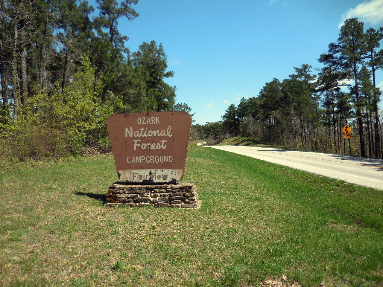
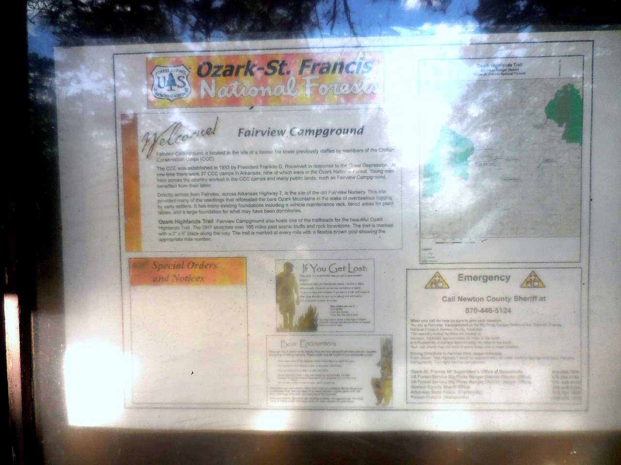
 Fairview in southern Newton County.  Difficulties in developing a source of water necessitated giving up this area and in the fall of 1929, a new site was located (Brian, Phillip H., 1931:1). This would be land leased from Arkansas Tech to the Northeast of Campus.  At that time State Highway 7 was El Paso street.


“As a final event related to the Tech farm, the board leased one acre of ground to the United States Department of Agriculture in the fall of 1929 for a tree nursery on which pines and some hardwoods were to be grown for the Ozark National Forest.”  At first, the nursery had a capacity of 200,000 seedlings.  
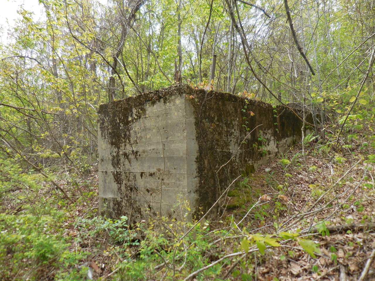
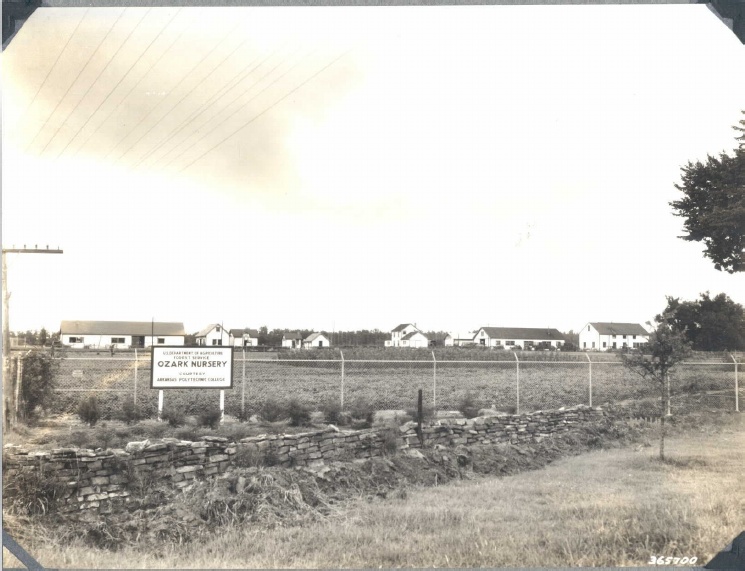
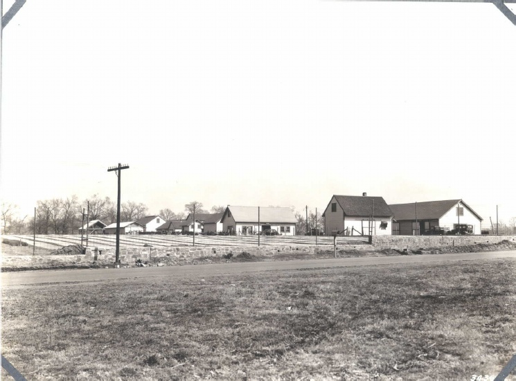
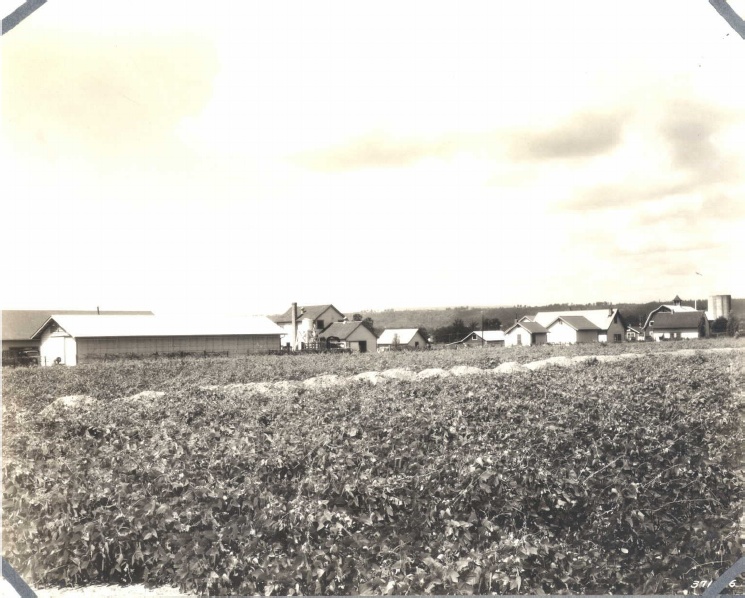
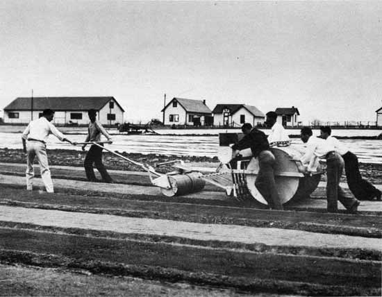
The buildings and equipment installed included a nursery warehouse, a seed extractor for removing pine seed from the cones, a fanning mill to clean the seed and a sprinkling system to water the seedlings.  A little over a year later in March of 1931, the Ozark national Forest leased a total of 3.87 acres of Tech land for $100.00 a year to increase its production to one million seedlings a year, with the provision that the operation would also serve as a college laboratory for plant propagation. (Walker, Kenneth R., 1992:64-65)


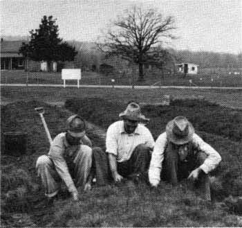
“At the Ozark Nursery located on the Arkansas Polytechnic farm it is suggested that the labor be obtained from the male students who reside there.  The boys are all anxious to work and from their past records on fire suppression work are entirely satisfactory.  There are always sufficient boys in the summer months who are taking a summer course at the school to supply our labor needs at the nursery.  It is recommended that we use the Tech. Boys for our nursery labor at the Ozark Nursery.” (Brian, Phillip H., 1930:8).


“The original lease was for 1.08 acres and increased to 18.12 acres by 1937.  In January 1949, some of the forestry buildings constructed on this land were not being used, and the Ozark Forest was not planning to operate the nursery in the future.  In view of this, the board asked the forest service to transfer title of these unused buildings to Arkansas Tech at no cost.  However, the forestry service wanted to advertise these surplus buildings for sale.  Within a year or two, however, Tech acquired most of these buildings at no cost, and in may of 1952, Arkansas Tech entered into a new leasing agreement with the Ozark National Forest covering 1.7 acres of land. (Walker, Kenneth R., 1992:154)

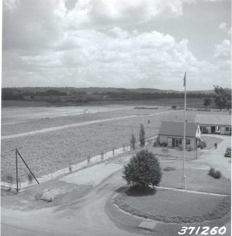
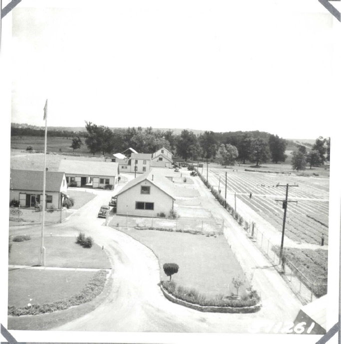
The buildings of the forestry service located on the college campus (and leased to the U.S. Department of Agriculture) consisted of an office, a cold storage area, a drying kiln, a threshing and cleaning building, a tool hose, repair shops for motor equipment, and a motor pool for the Ozark National Forest. (Walker, Kenneth R., 1992:179)


In July of 1950, Tech acquired two surplus forestry service buildings on the campus from the Ozark National Forest.  The forestry service had wanted to advertise these buildings for sale, but Tech asked for time to complete the transfer of these buildings to Tech without sale.  This was finally accomplished with Tech only paying a nominal transfer fee.” (Walker, Kenneth R., 1992:186)


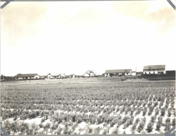
By March of 1934, this nursery had become the largest producer of short-leaf yellow pine seedlings in the United States.  At that time, it was producing approximately 2,000,000 pine seedlings.  These seedlings were sent out to various forests (including the Ozark, Ouachita, and others in Mississippi) in bundles of 4,000 seedlings to replace trees that had been cut.


“Because the forestry nursery was receiving so many orders for seedlings, the Ozark forestry service added more acres (with Tech's acquiescence) to the nursery.  By November of 1934, the forestry plant and nursery comprised 40 acres of Tech land.  By 1935, the nursery had the capacity to produce 4,000,000 seedlings annually and by 1937 6,000,000.  However after 1937, the demand for seedlings receded somewhat and production of seedlings was stabilized at 3,500,000 plants annually.” (Walker, Kenneth R., 1992:225)


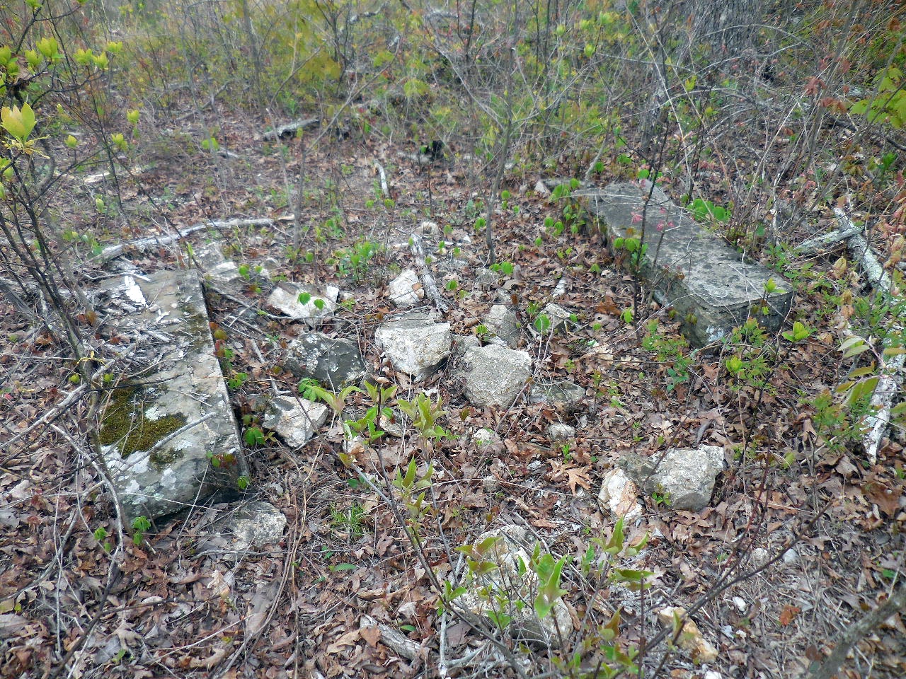
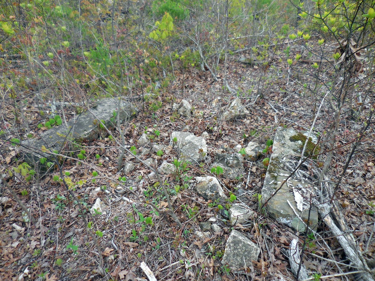
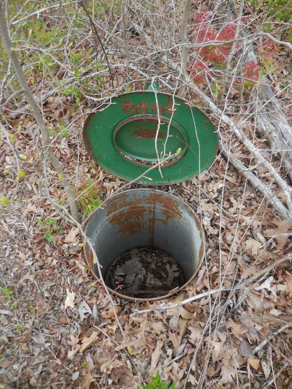
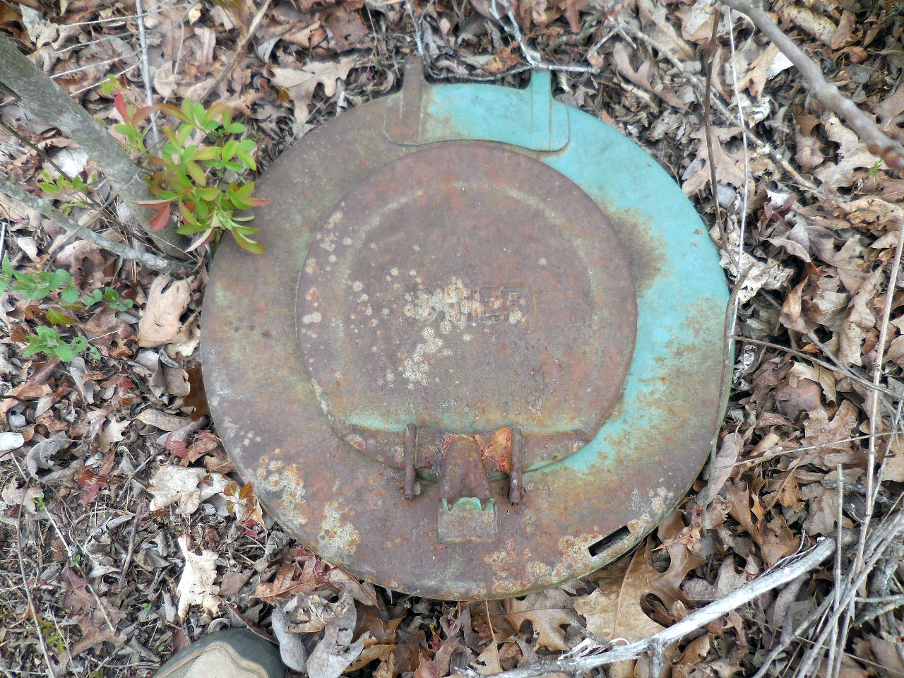
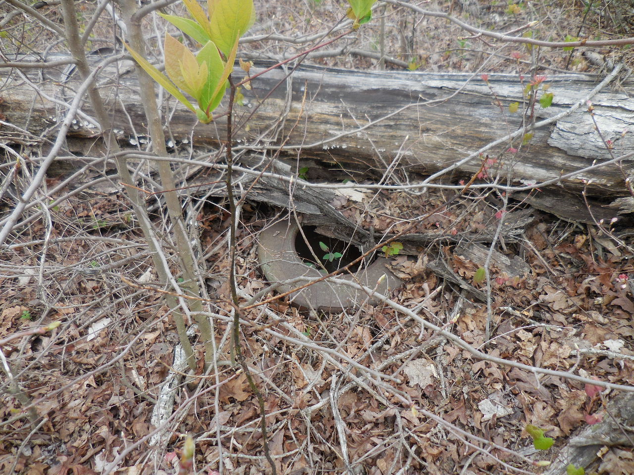
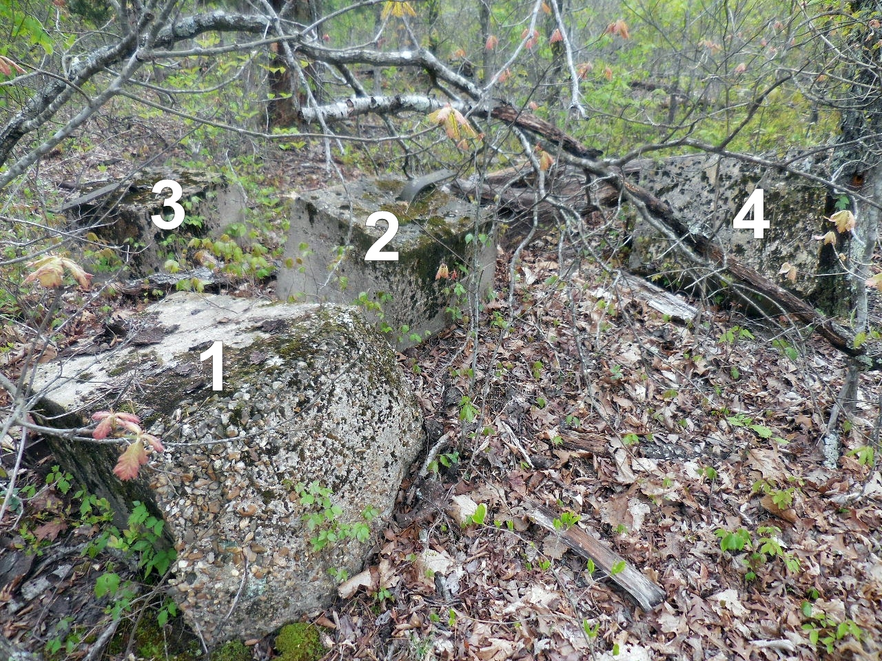
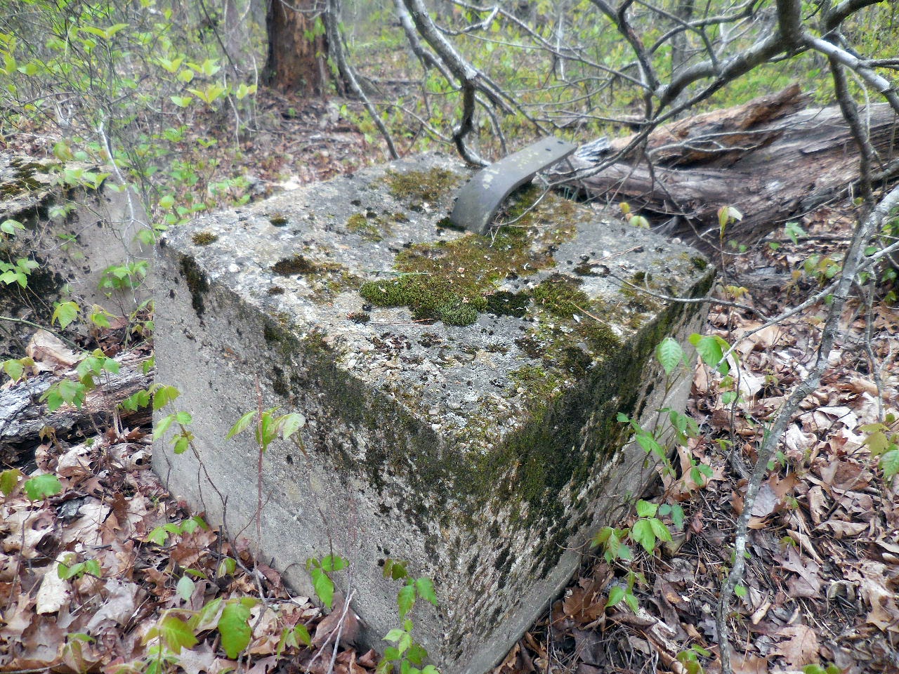
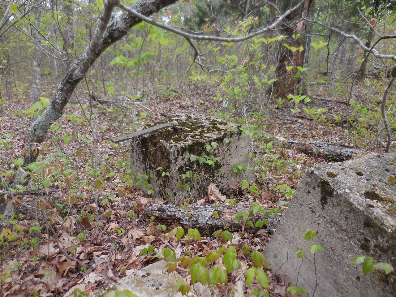
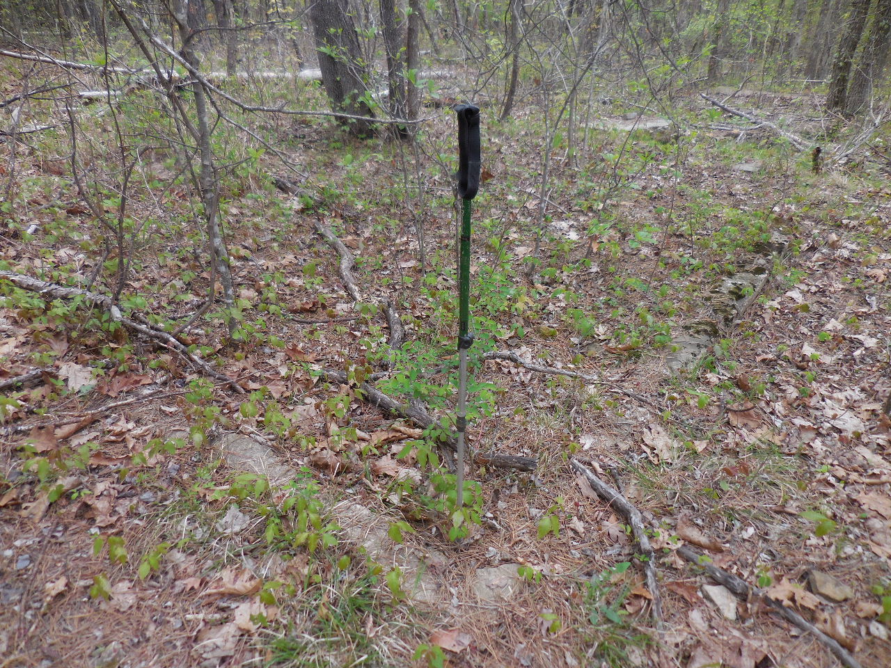
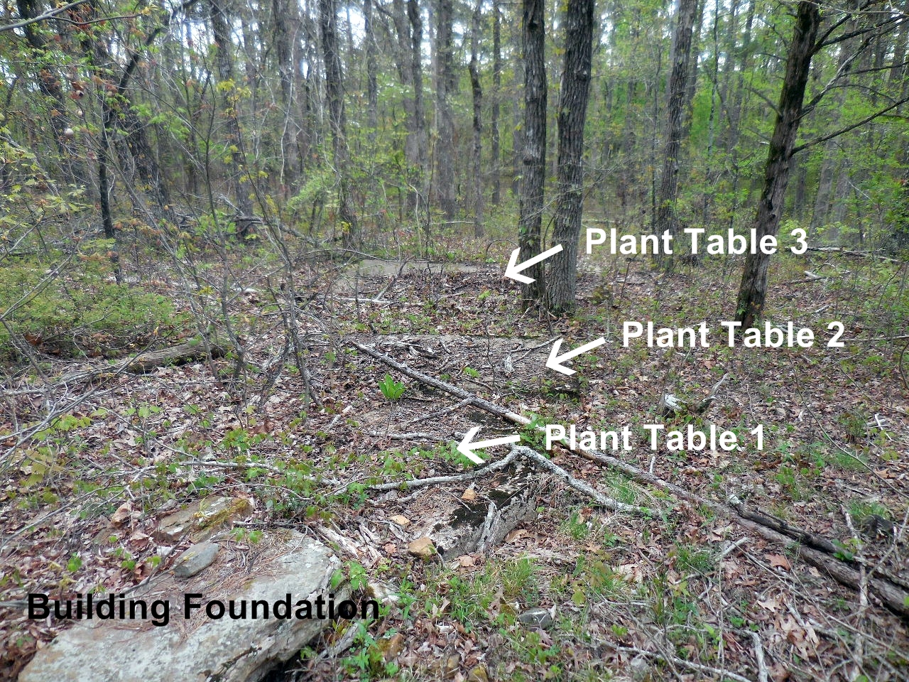
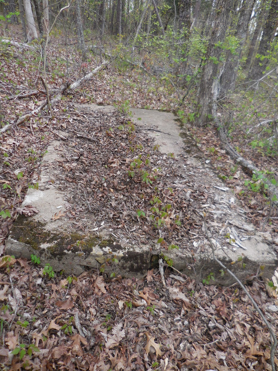
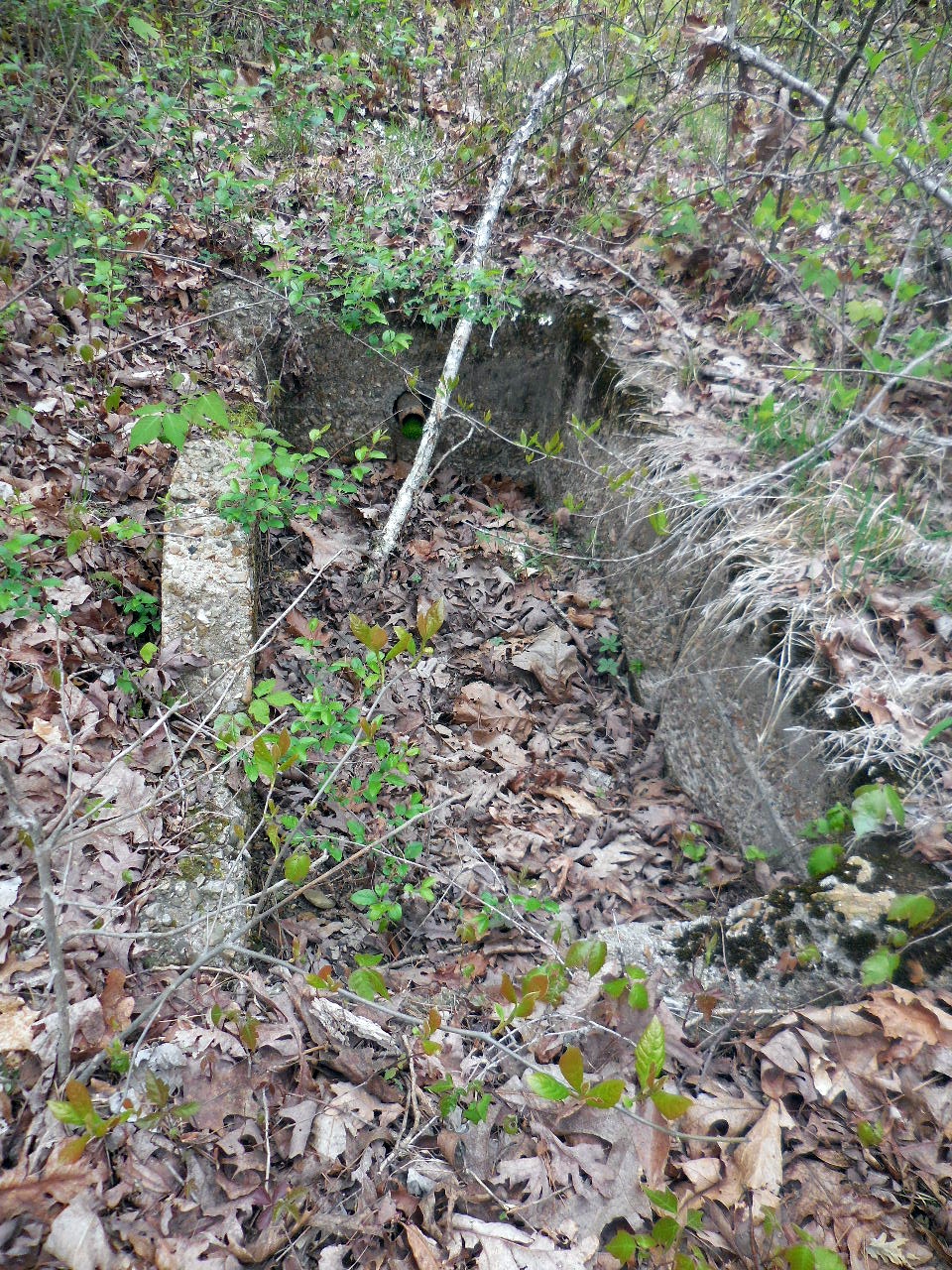
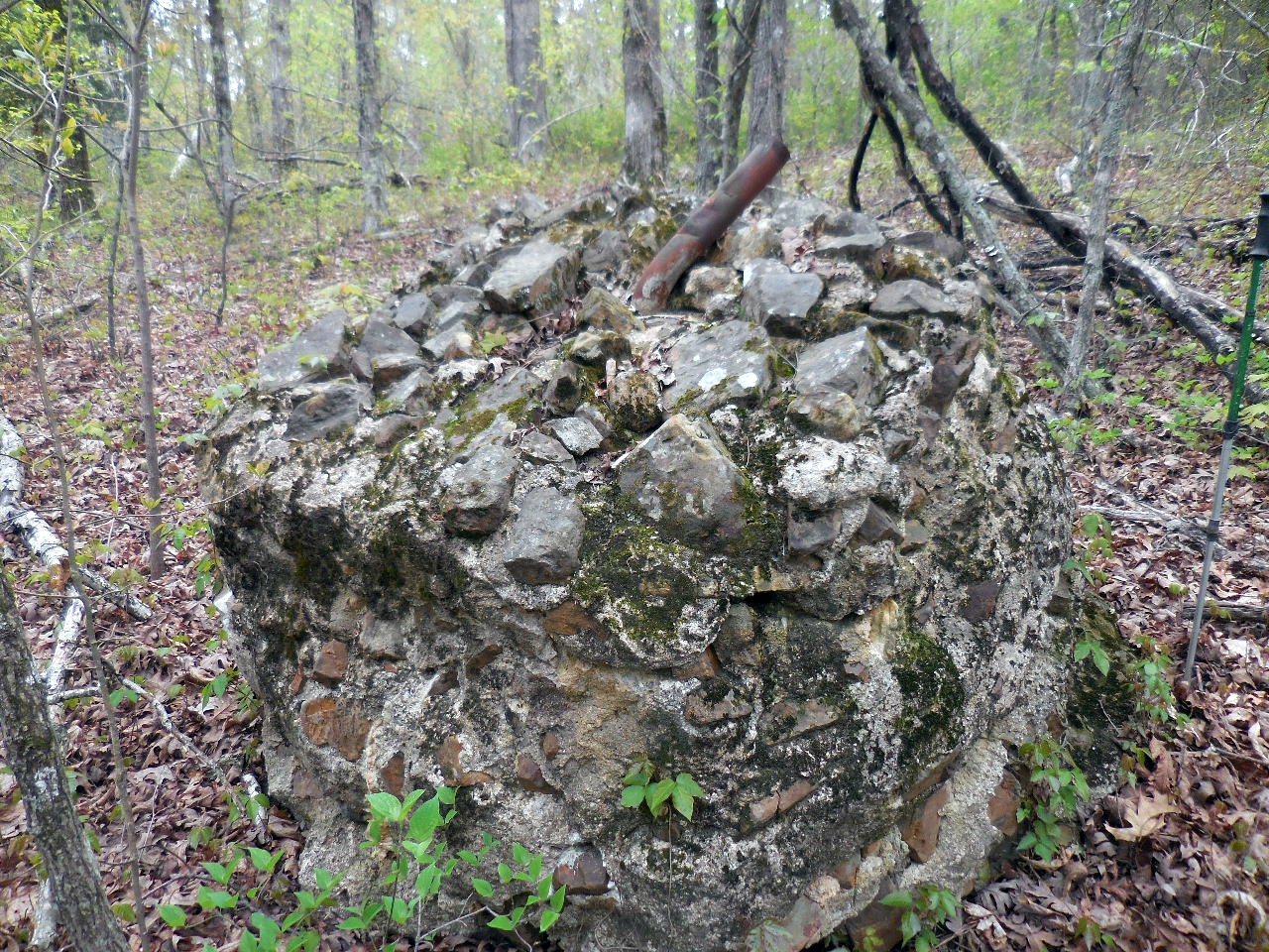
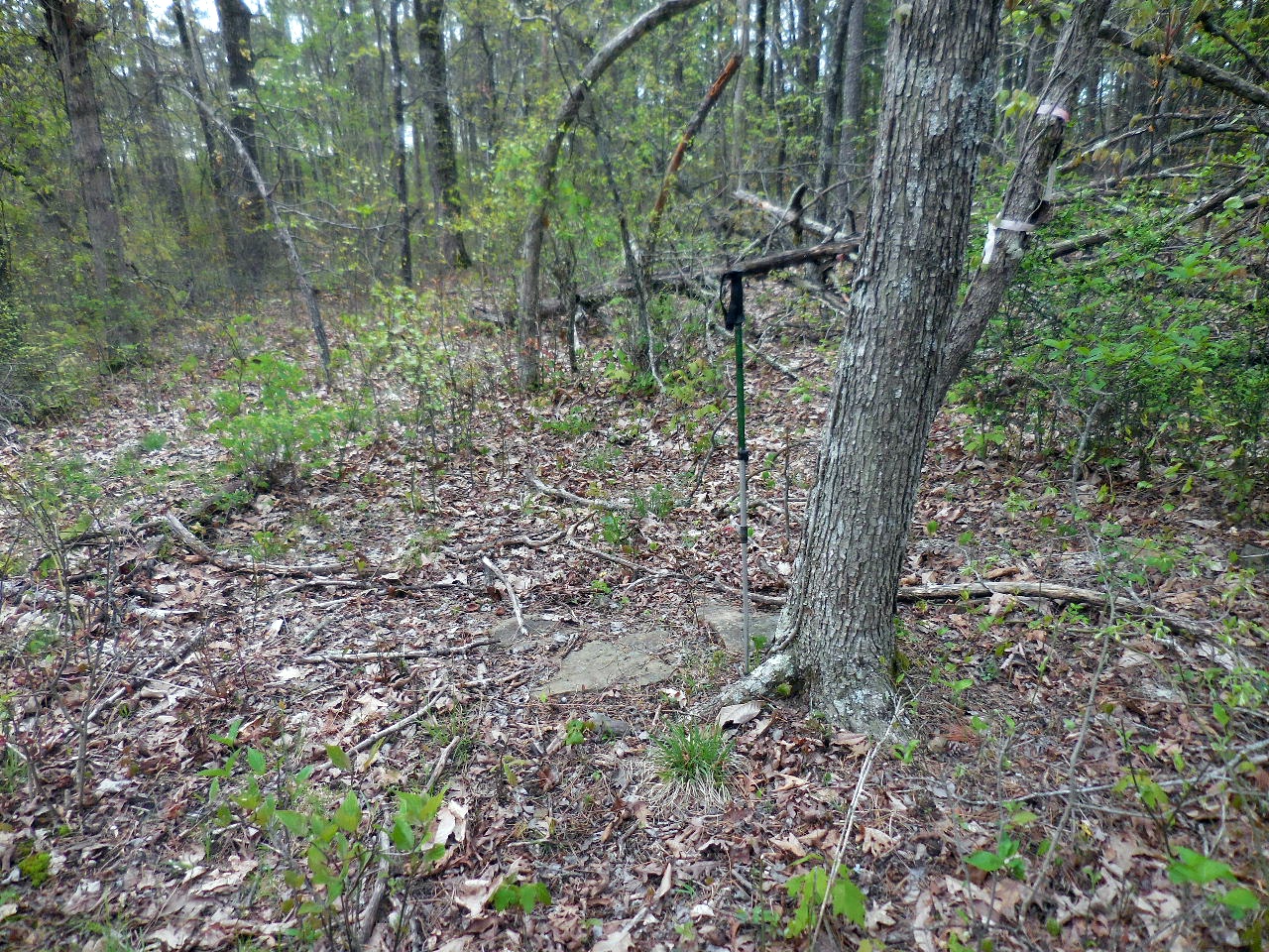
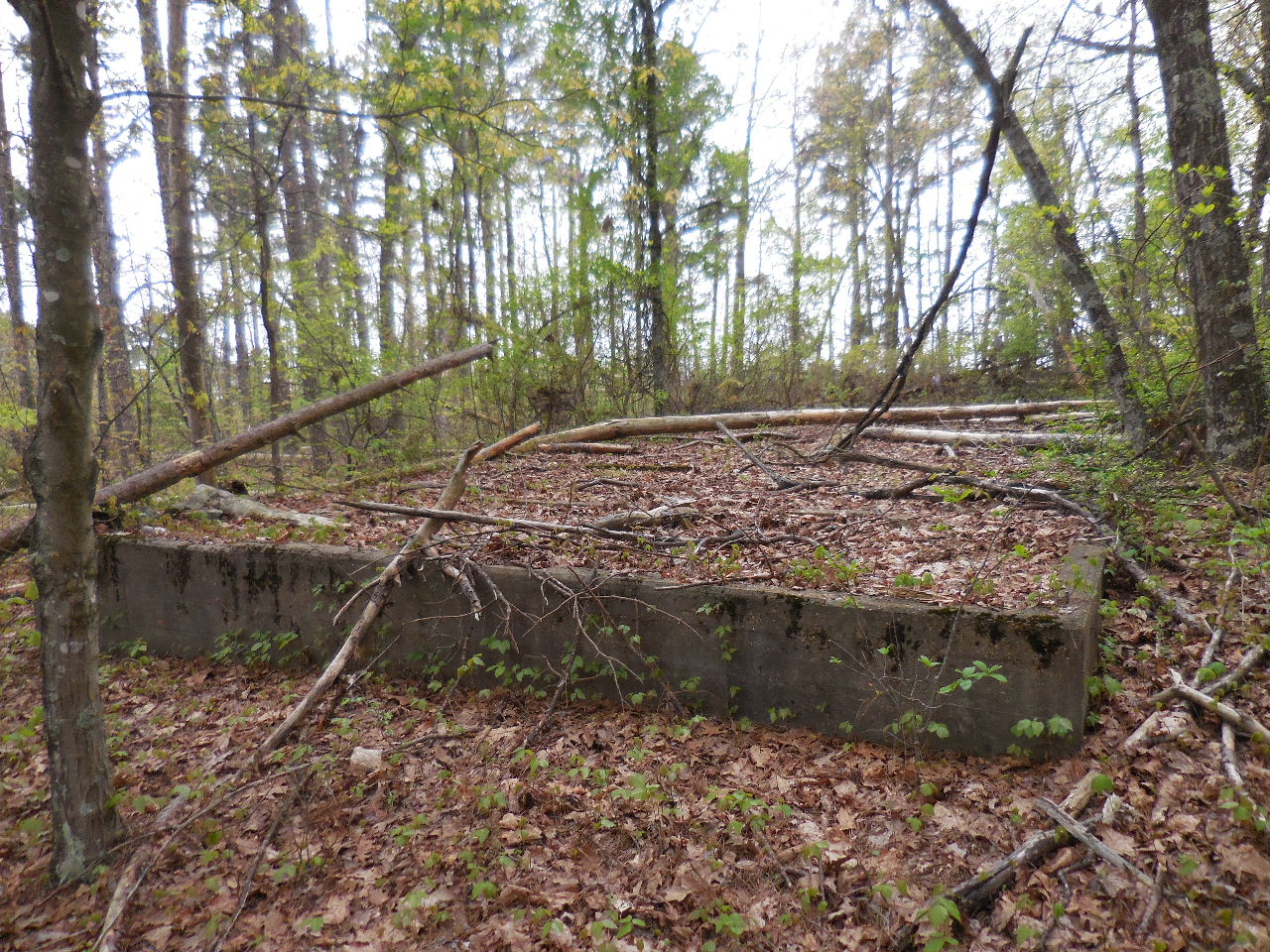
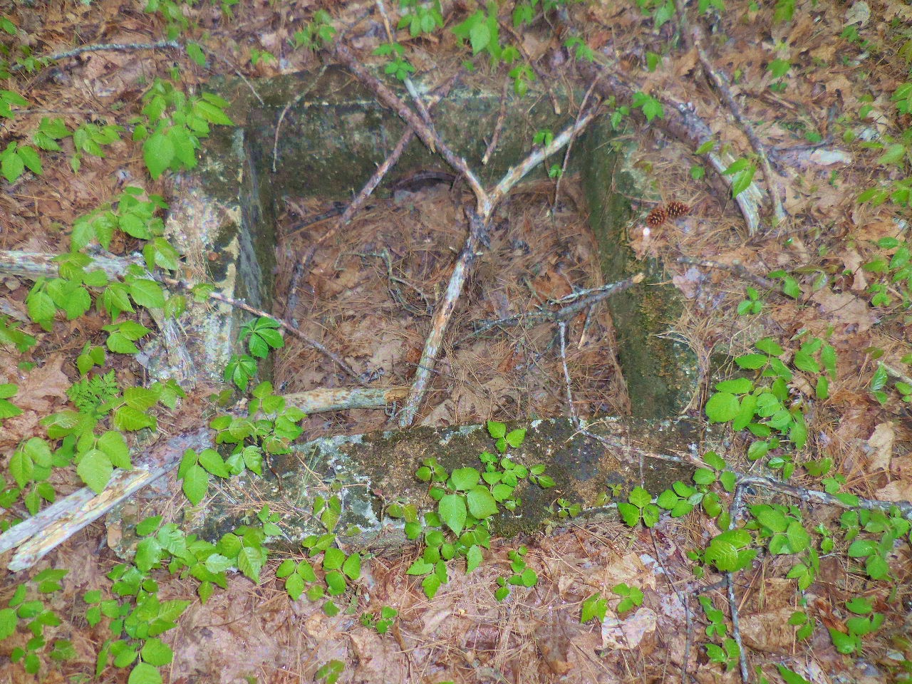
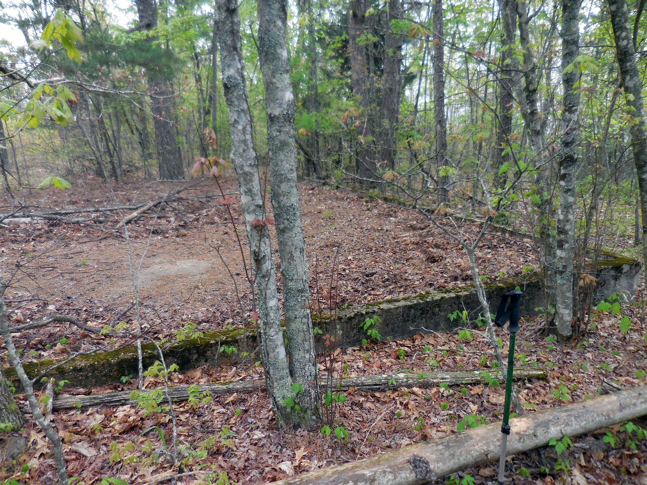
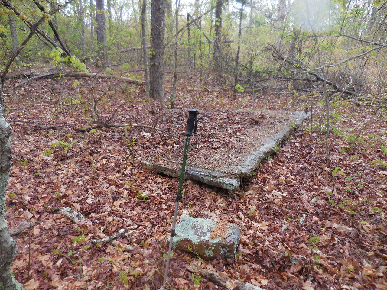
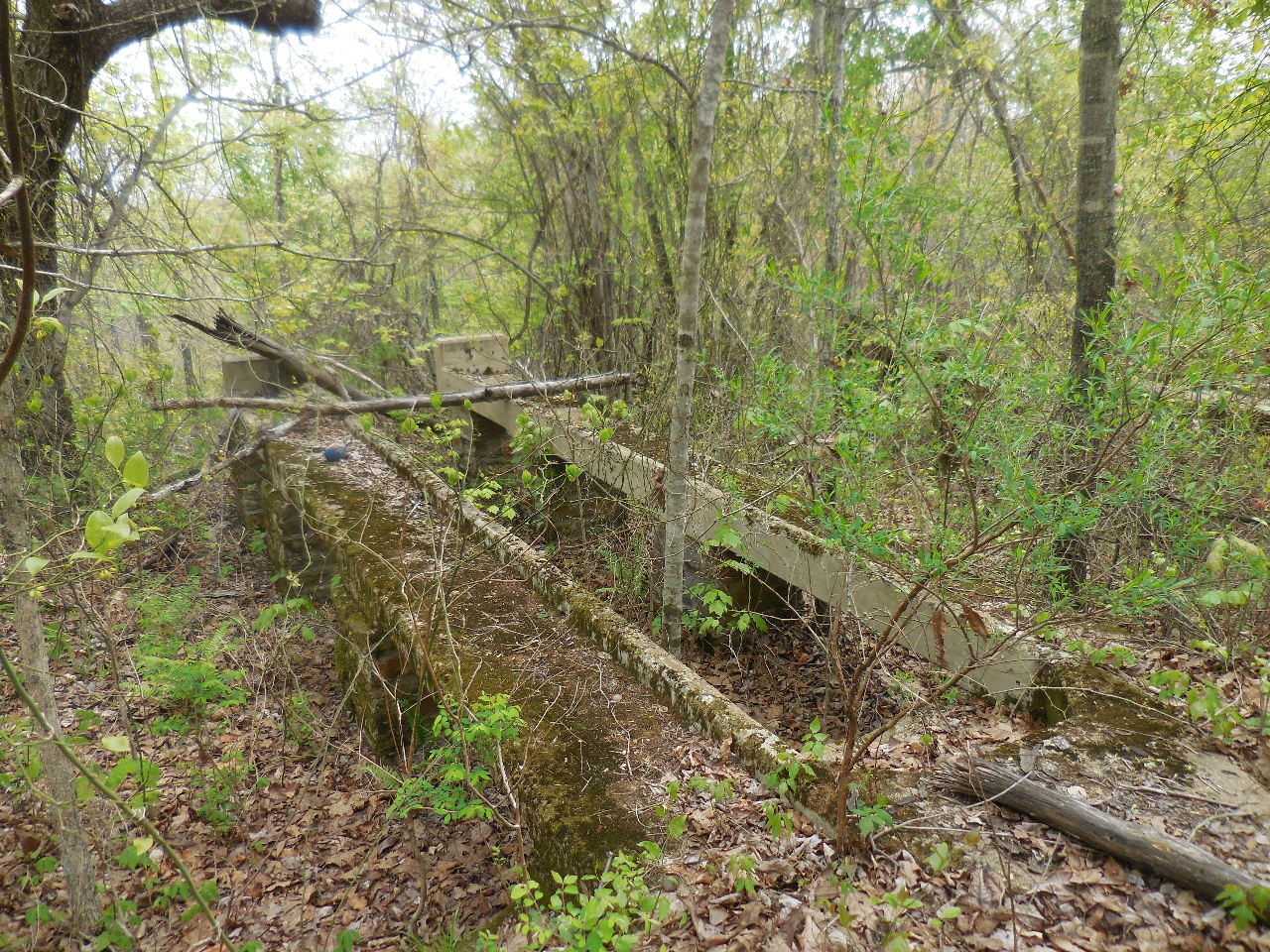
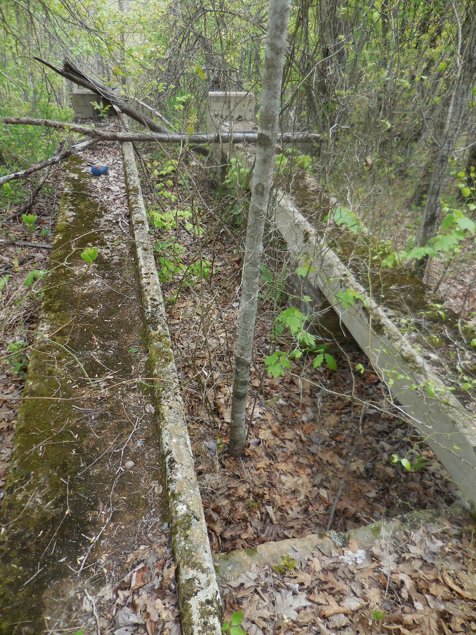
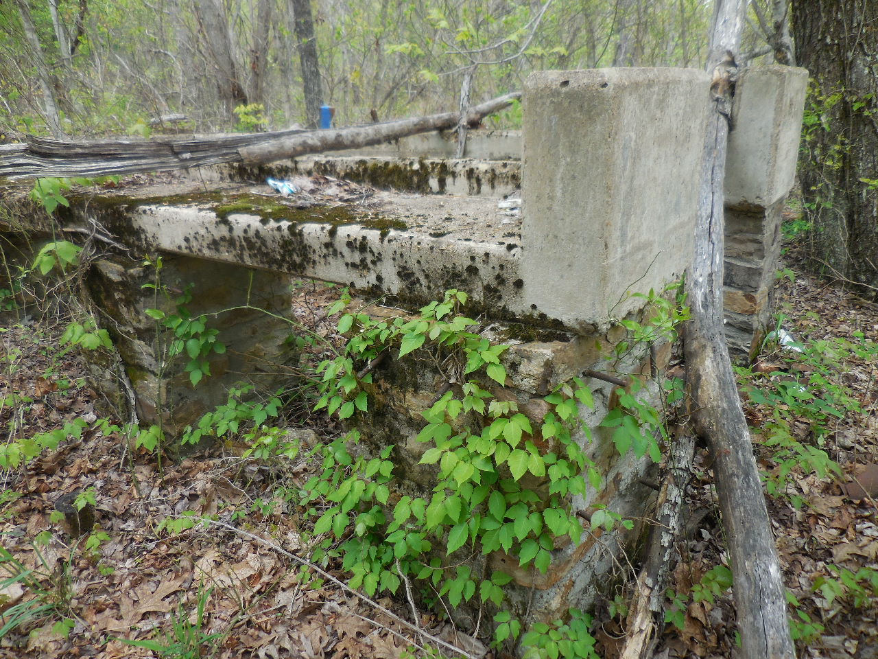
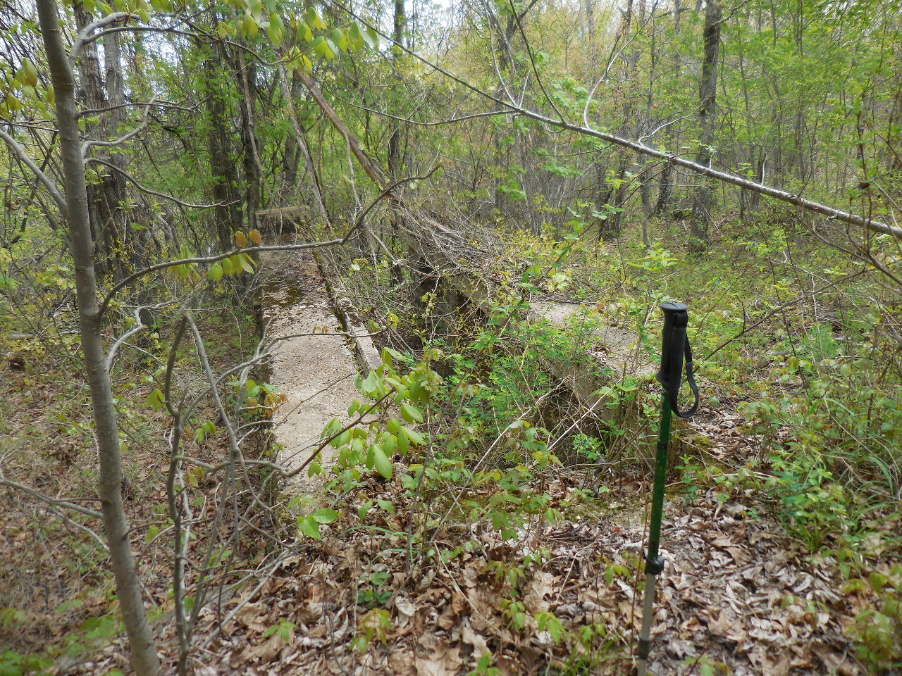
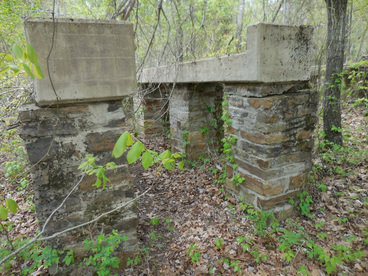
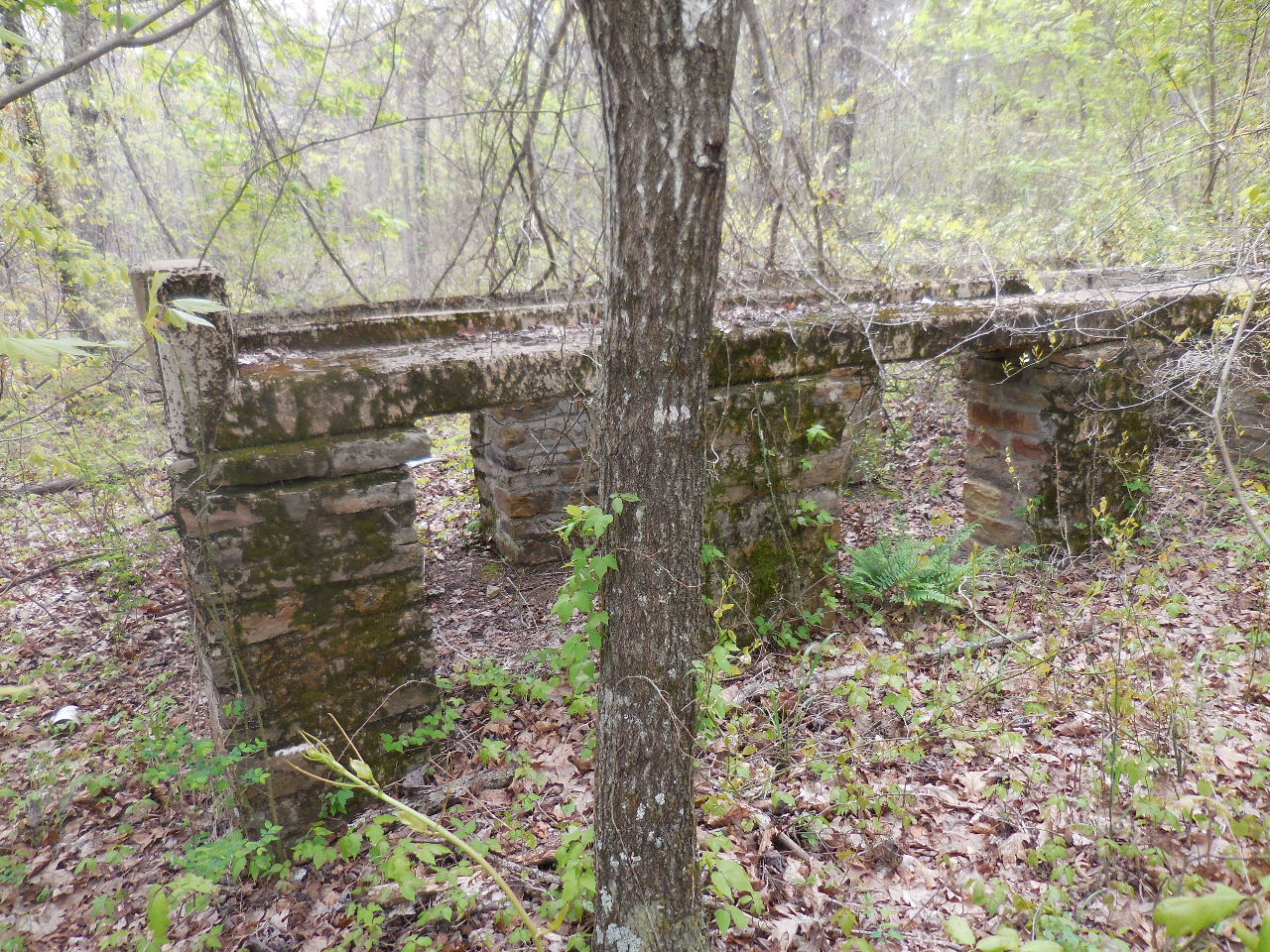
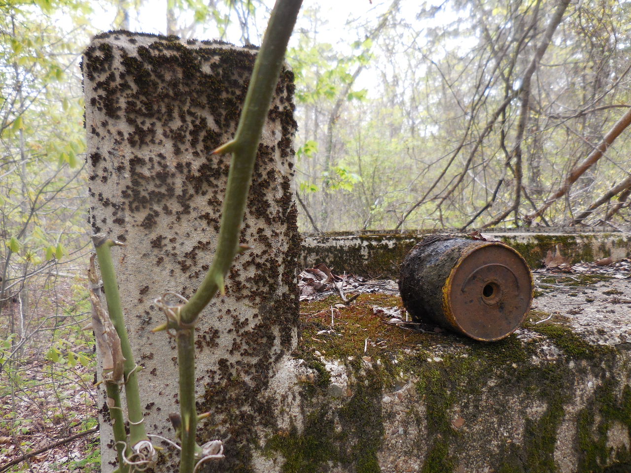
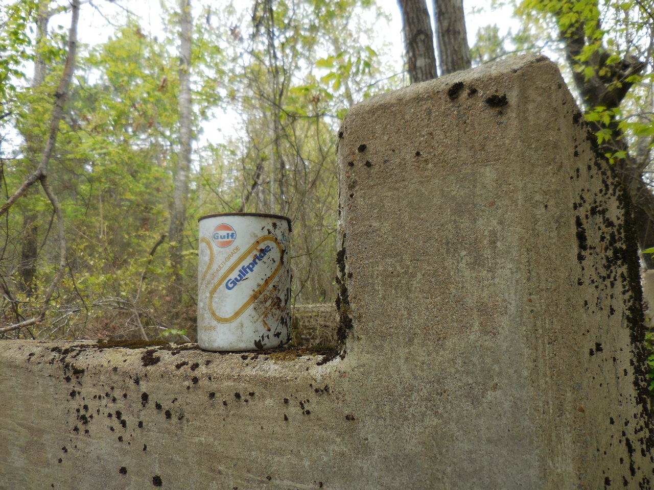
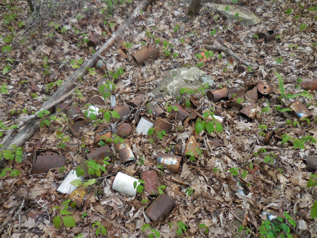
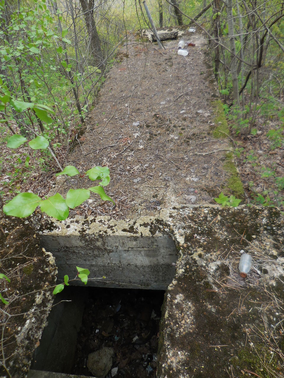
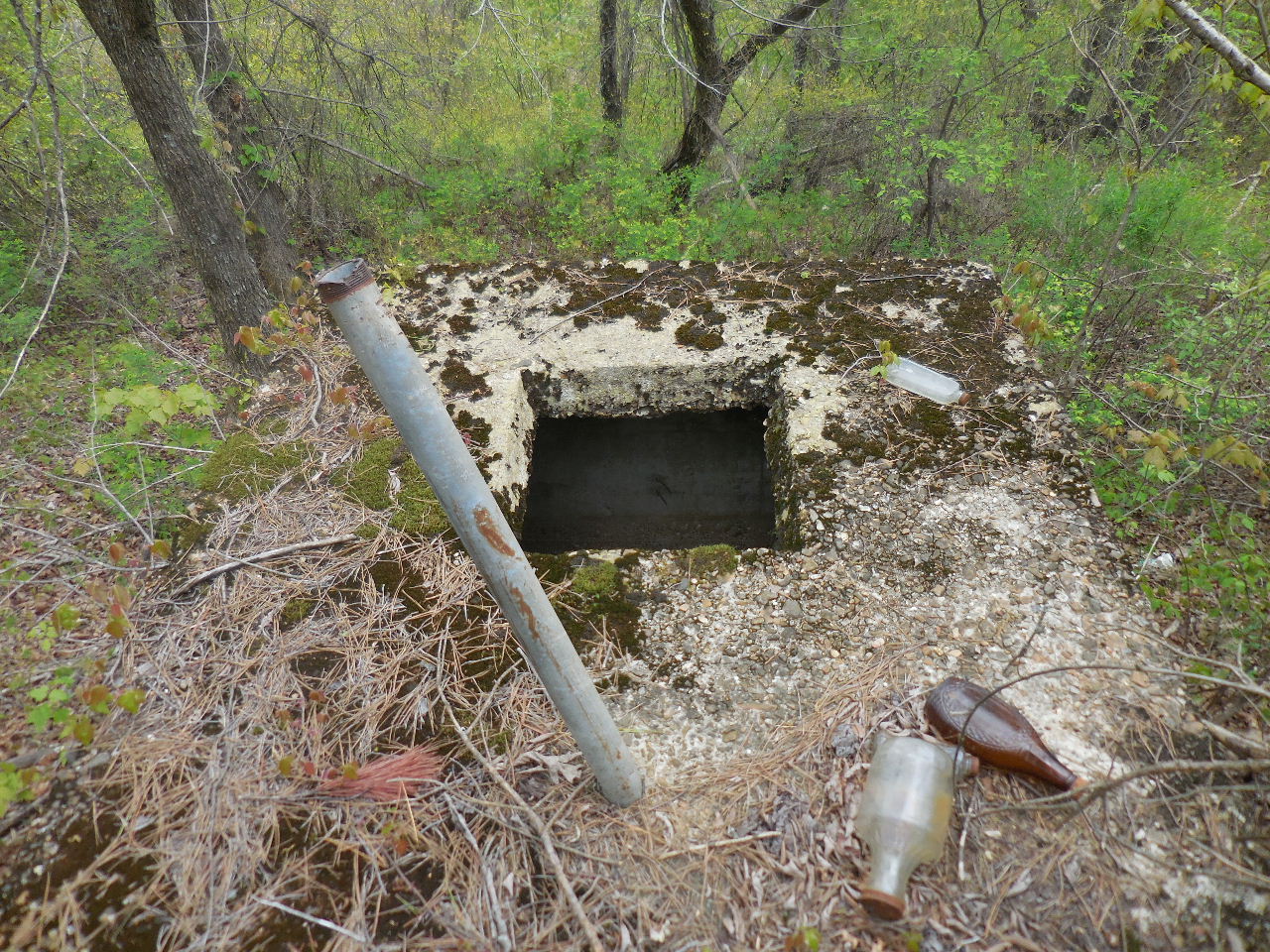
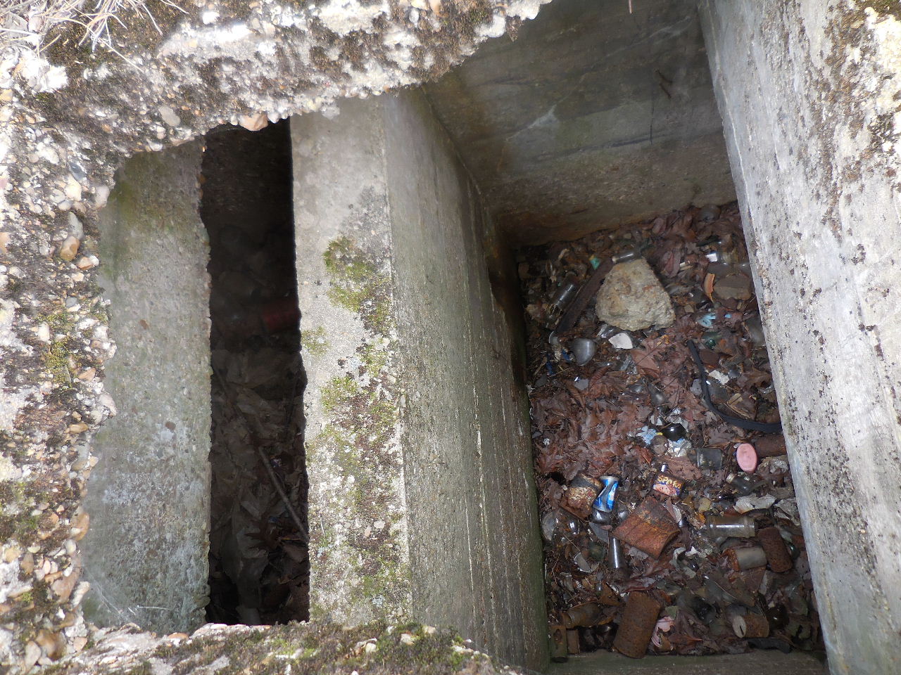
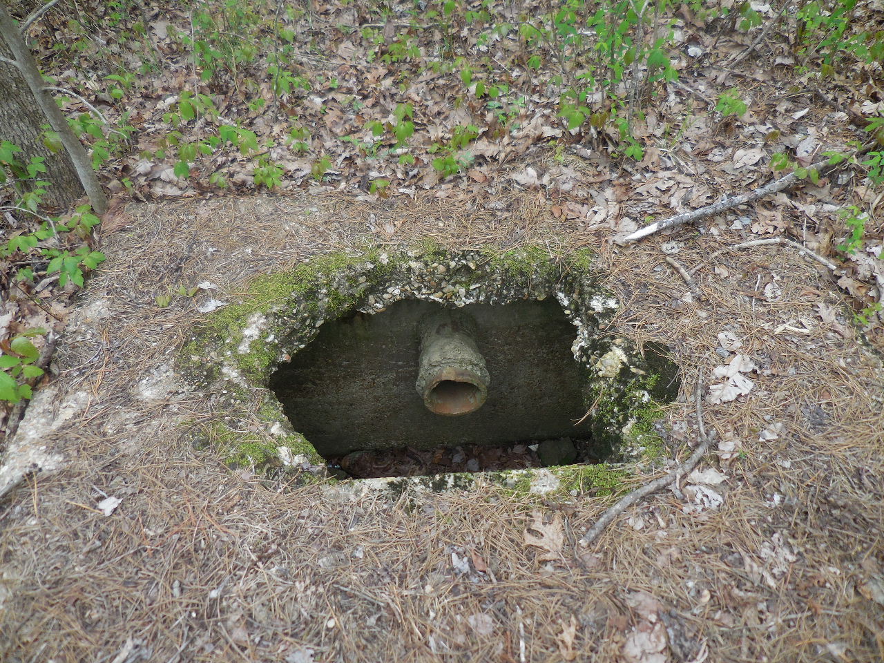
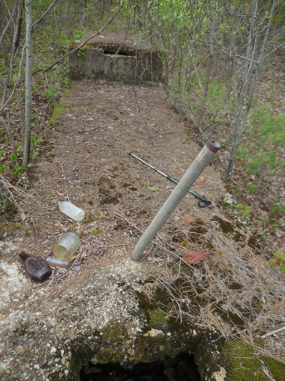
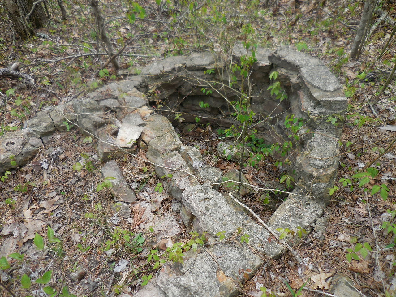
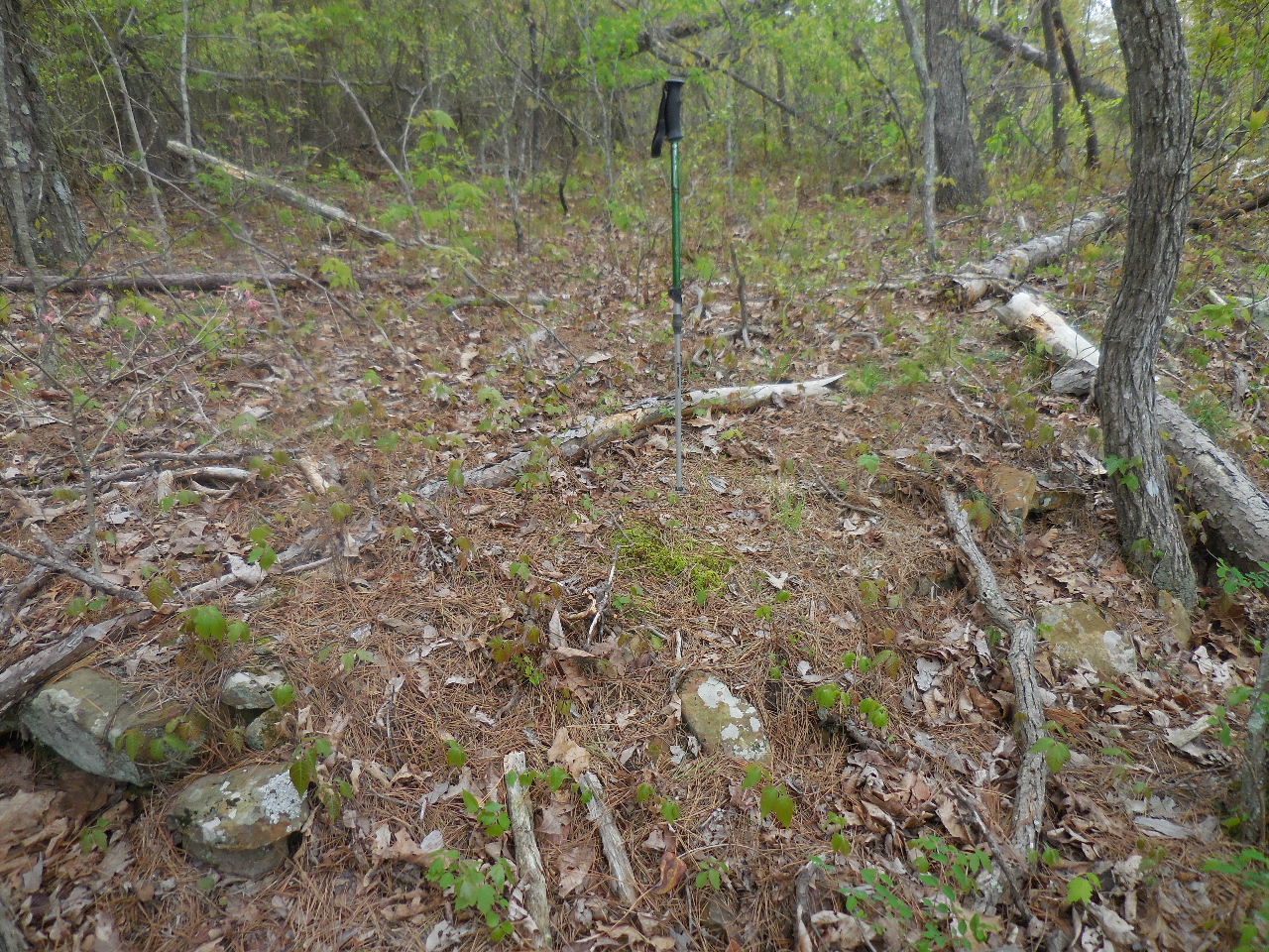
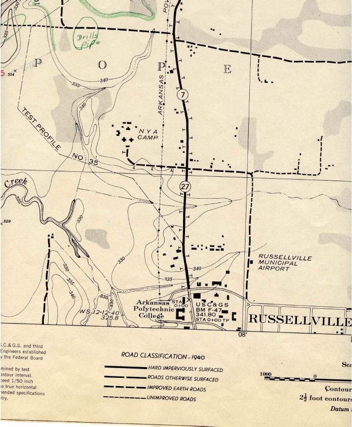
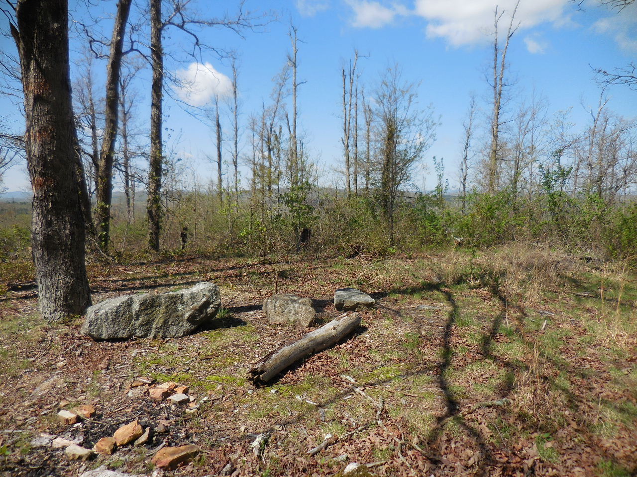
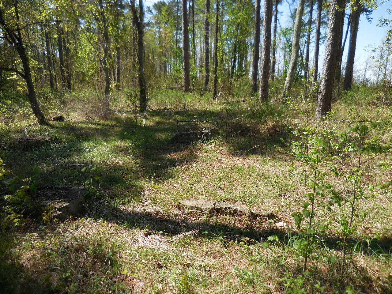
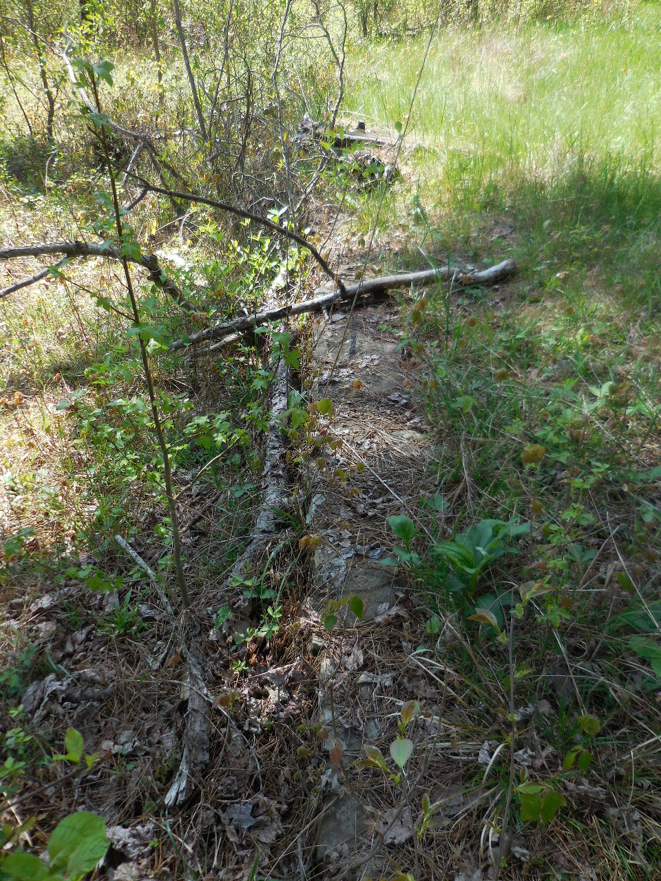
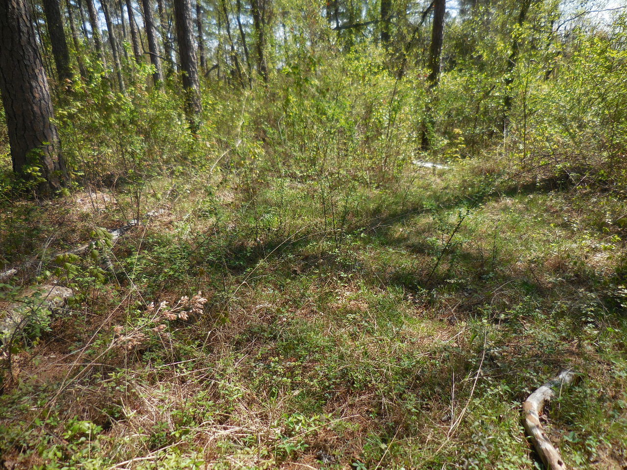
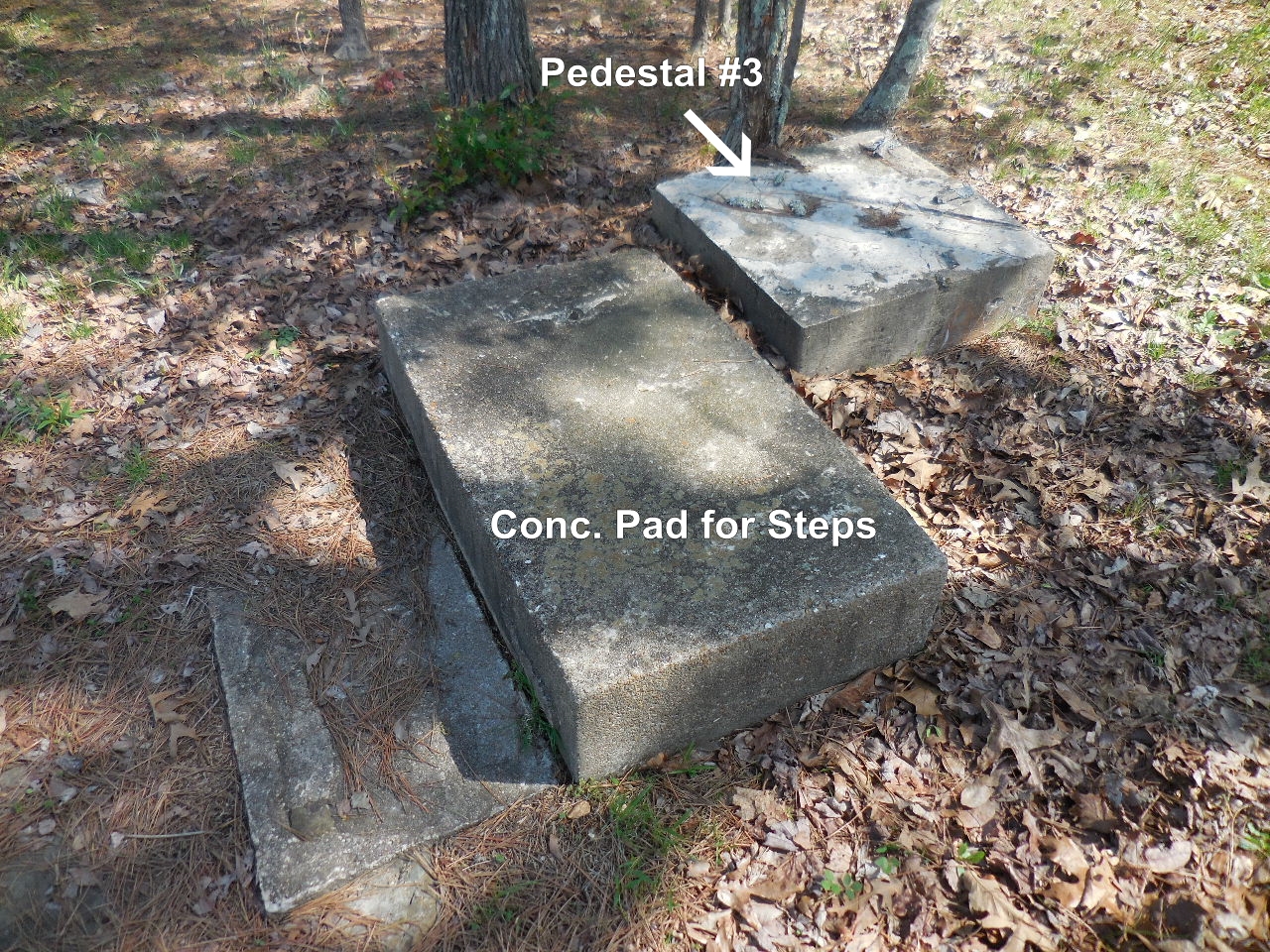
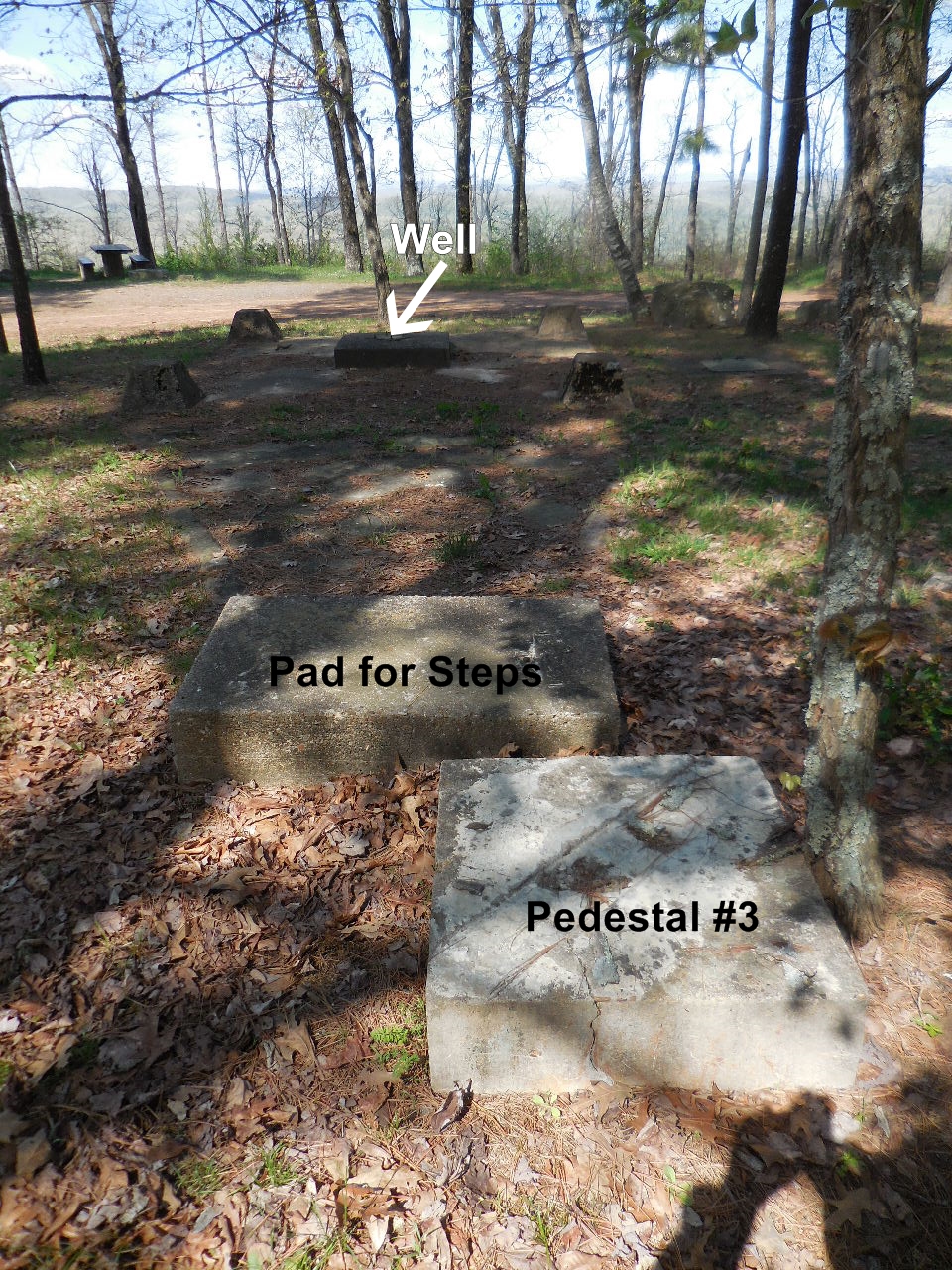
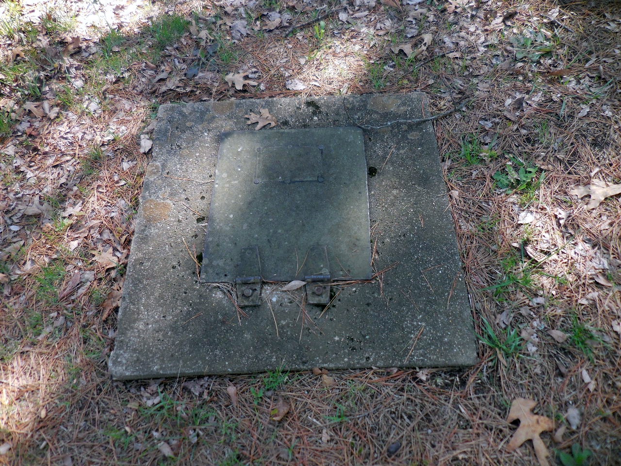
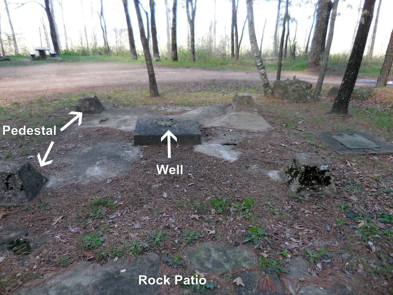
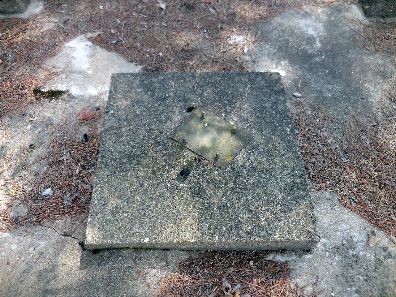
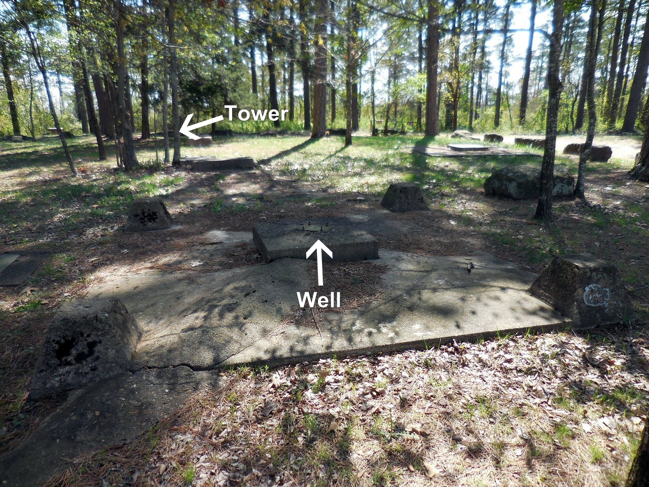
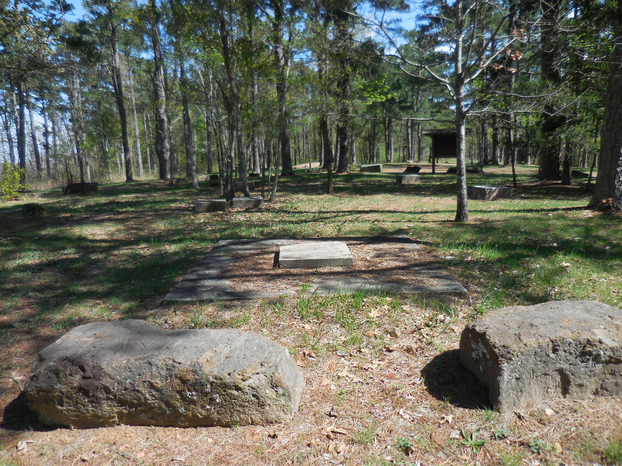
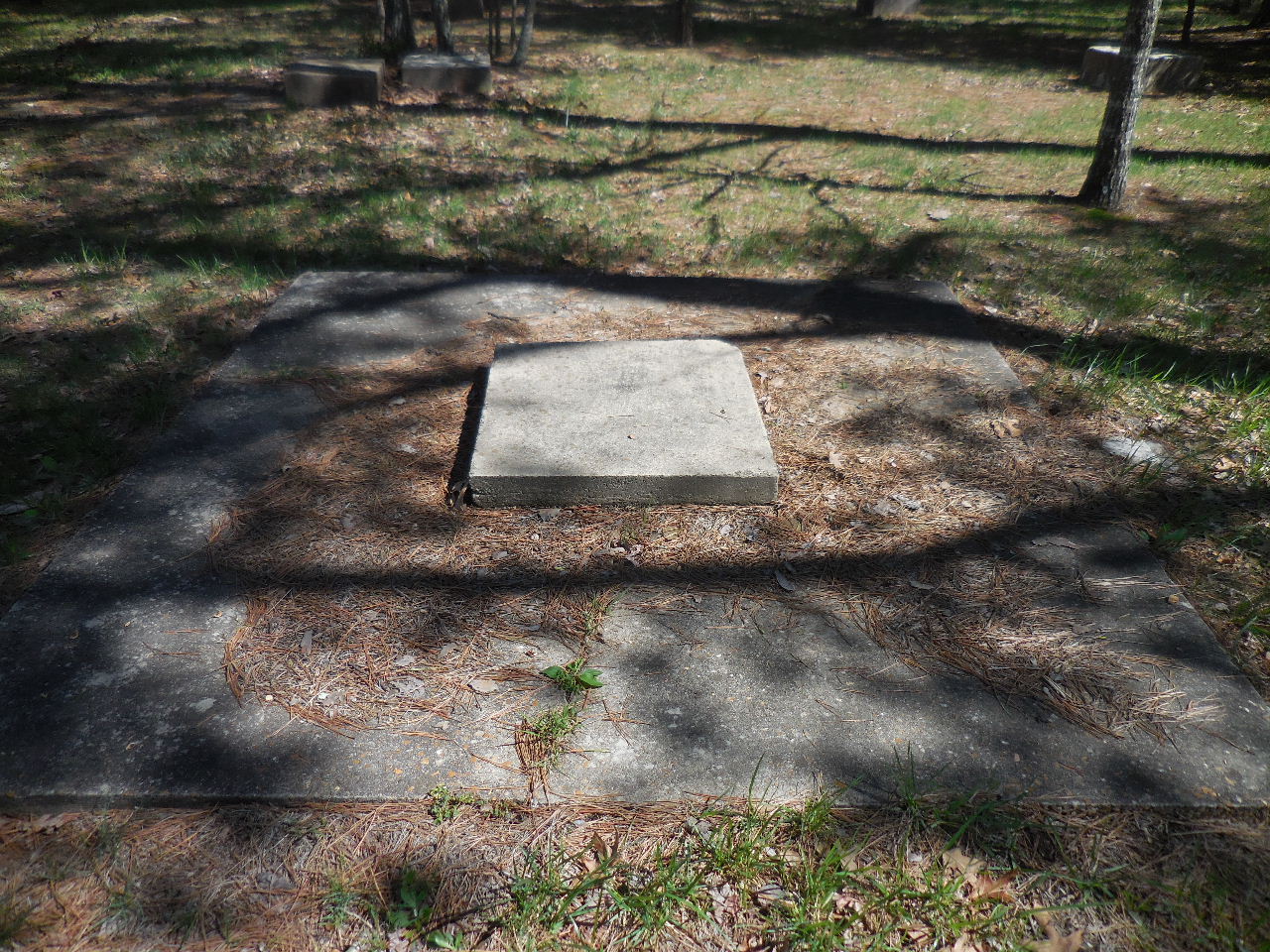
The old Ozark National Forest Nursery complex appears to lie on the high line of ground now under the Corley Building and the parking lot to its immediate west.  That would currently be between North El Paso and North Boulder Streets, and north of West O Street.  It may have extended as far east as the Jones Residence Hall. It has been recorded as an historical archaeological site with the Arkansas Archeological Survey as 3PP0889.


The Ozark nursery supplied many seedlings for the Shiloh Civilian Conservation Corp Camp operated by the Soil Conservation Service.  That camp is located just north of Inter-State 40 and east of State Highway 7.


Nursery general view from south
Photo #365700

Nursery and warehouse buildings across S.H. 7
Photo #343682

Nursery showing Shortleaf Pine in foreground, 1938
Photo #371095

Nursery general view showing velvet beans
 in foreground. Note dairy farm silo at far right.
Photo #371096

View from dairy barn silo over nursery entrance.
Photo #371260

View from silo, right hand view.
Photo #371261

Photo #276762, 1933

1940 Map

Nursery at Russellville