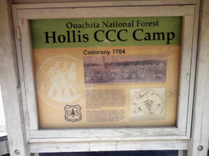
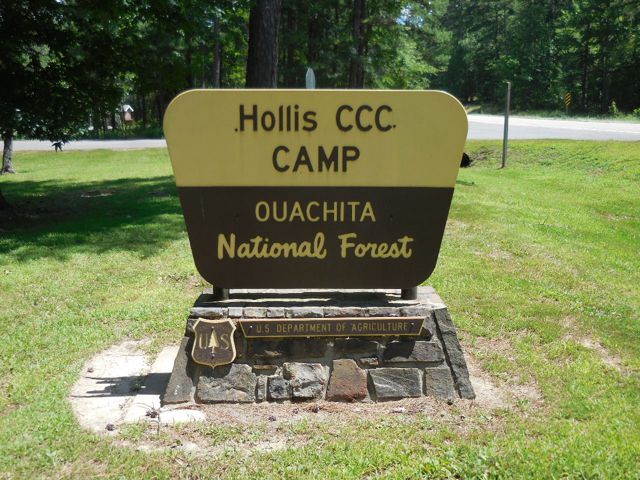
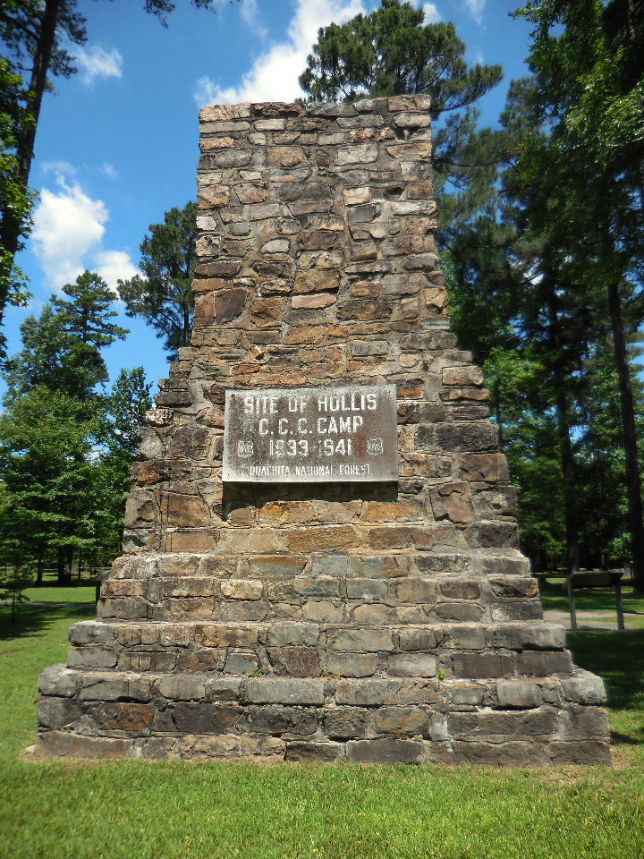
"B" Hollis CCC Camp
34.84445°, 93.10645° |
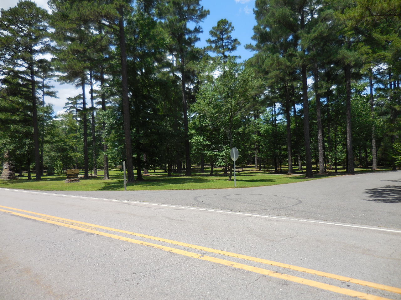
Highway Entrance to Hollis CCC Camp
34.84456°, 93.10614°
(2.7 miles south of Hollis General Store and
12.0 miles north of Jessieville High School) |
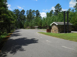
Parking Area and Restrooms
34.84527°, 93.10588° |
|
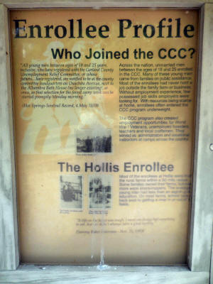
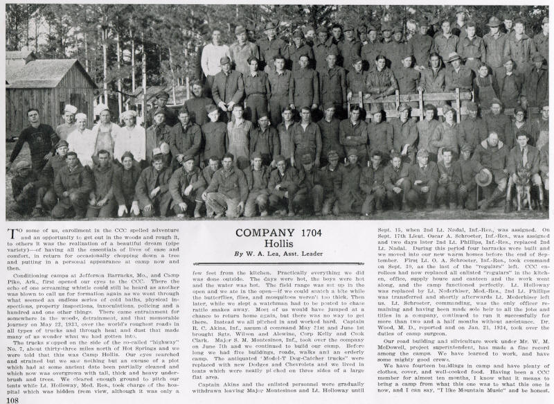
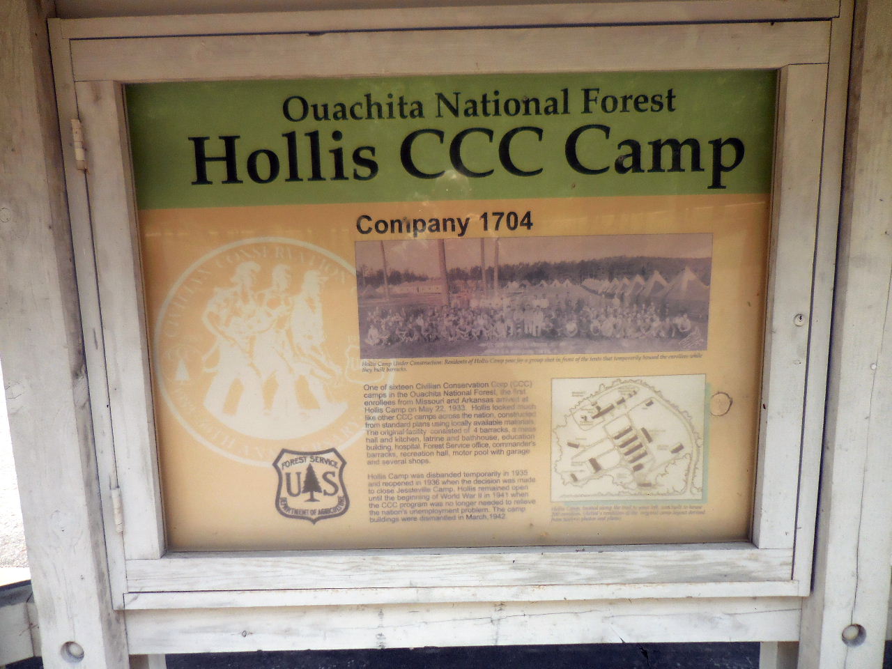
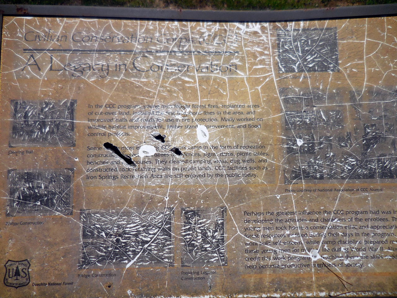
One of
sixteen Civilian Conservation Corp (CCC)
camps in the Ouachita Forest, the first
enrollees
from Missouri and Arkansas arrived at
Hollis Camp on May 22, 1933.
The camp was built to house 200 enrollees.
|
_small.JPG)
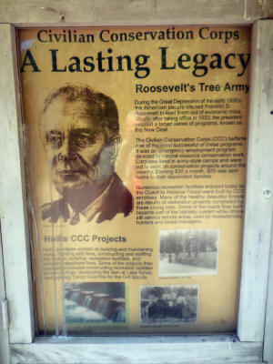
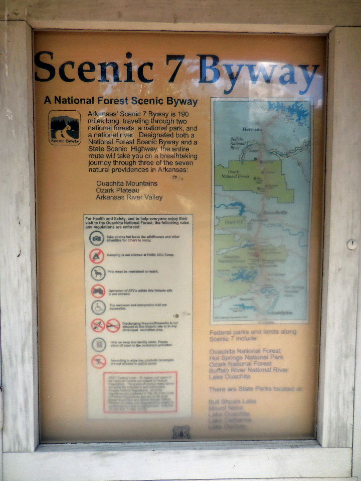
"A" Billboard (South Side)
34.84516°, 93.10614° |
Hollis Camp
was disbanded temporarily in 1935
and reopened in 1936 when the decision was
made to close Jessieville Camp. Hollis
remained
open until the beginning of World War II in
1941
when the CCC program was no longer needed
to relieve the nation's unemployment problem.
The camp buildings were dismantled in March,
1942. |
 |
_small.JPG)
Enrollees pose for a group shot in
front of the tents
that temporarily housed them while they built
barracks. |
 |
|
Hollis
enrollees worked on building and
maintaining roads, fighting wild fires,
constructing and staffing fire towers,
building
recreation facilities, and installing
telephone lines.
Some of the projects they completed included
constructing recreation facilities at Iron
Springs,
developing the dam at Lake Sylvia, and
building Camp Ouachita for the Girl Scouts. |
_small.JPG)
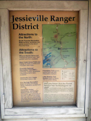
"A" Billboard (North Side) |
Most of the
enrollees at Hollis were from the rural
farms within a 50 mile radius. Some
families owned their farms, but many more
were sharecroppers. The average young
man had
less than an eighth grade education. On
most farms, school took a back seat to
getting a crop in or out of the fields.
They earned $30 a month. $25 was sent
home to their dependent families. |
 |
_small1.JPG)
_small.JPG)
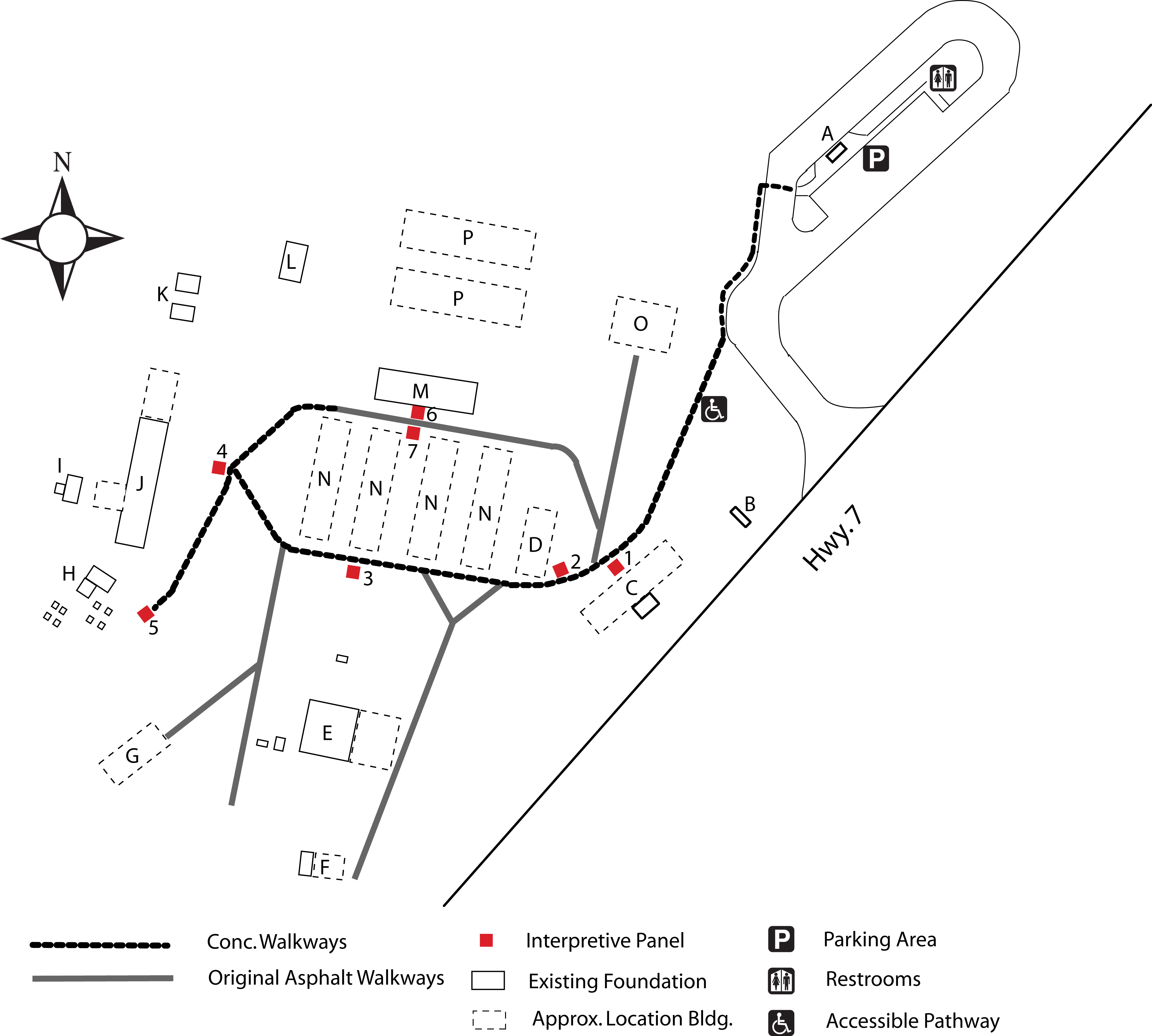
Map of Hollis Camp |
 |
|
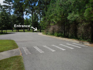
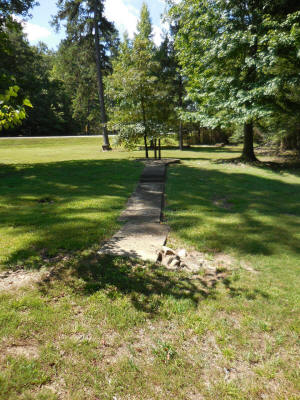
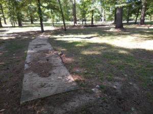
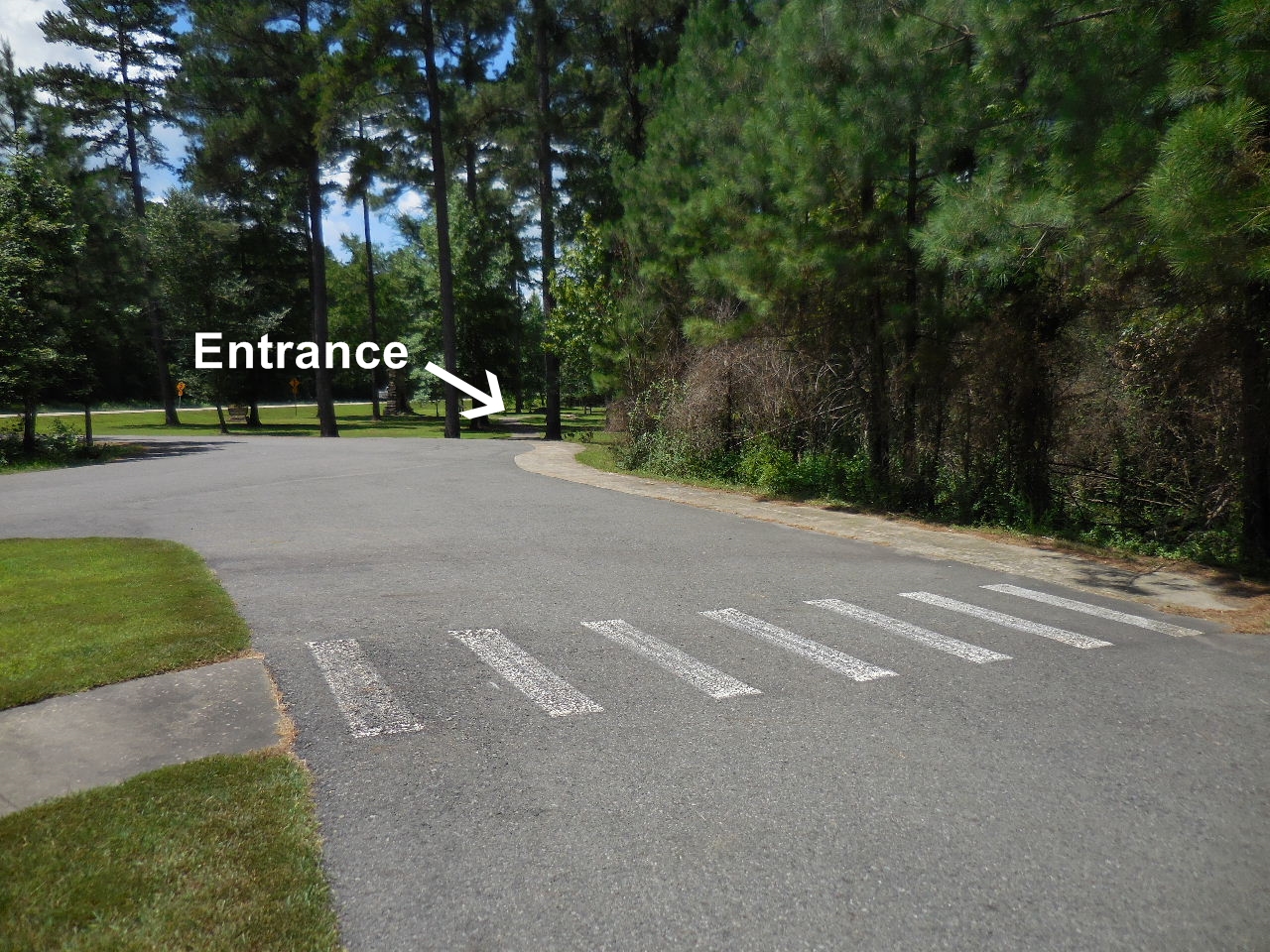
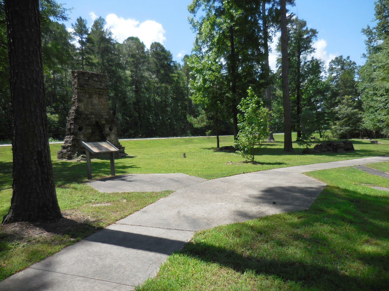
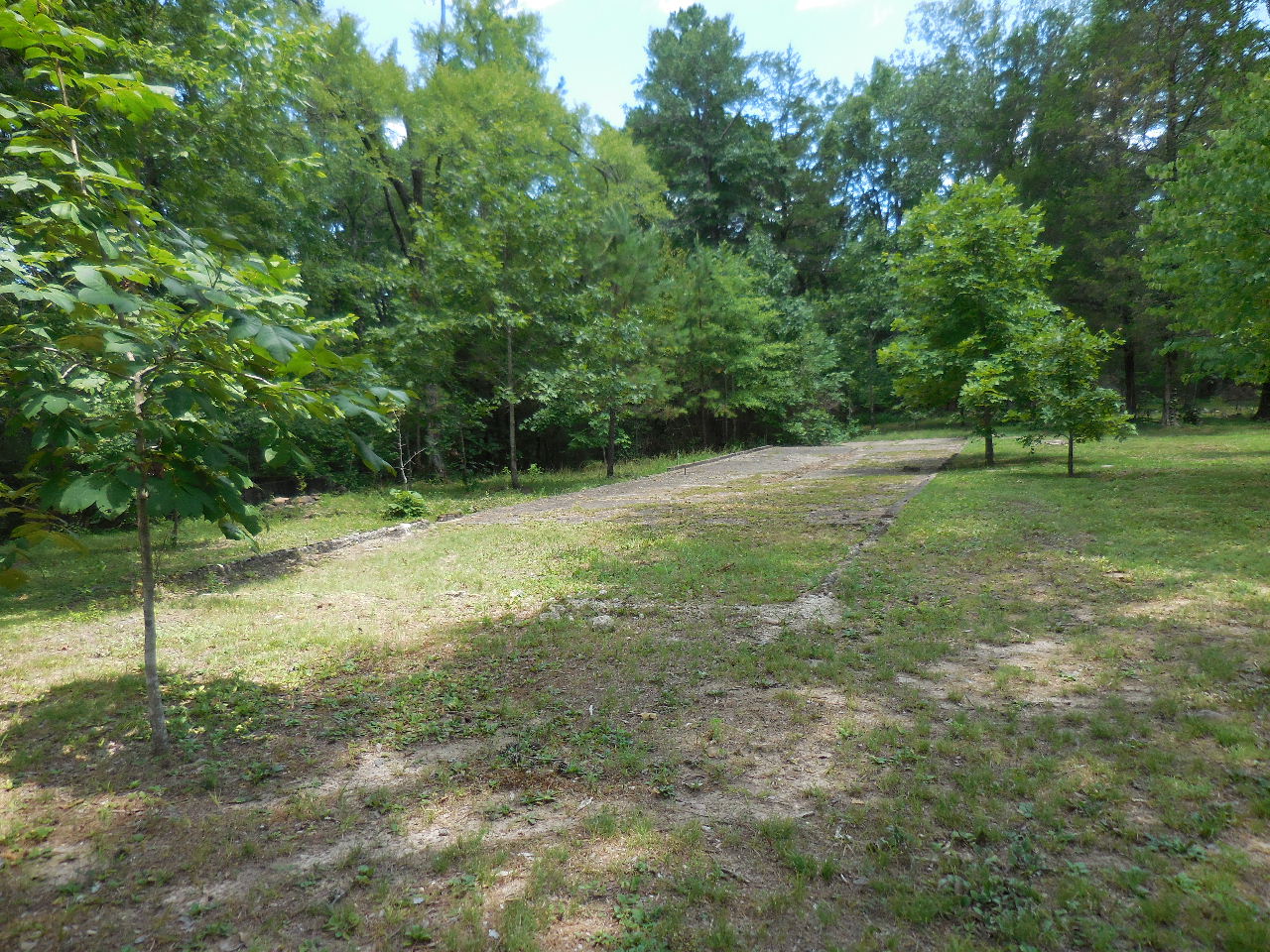
Entrance to Hollis Camp from Parking
Area
34.84480°, 93.10642° |
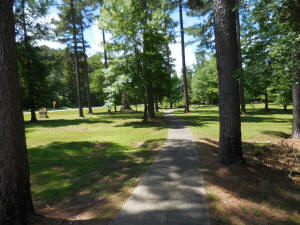
Conc. pathway is wheelchair
accessible. |
Arriving at "1" & "C" |

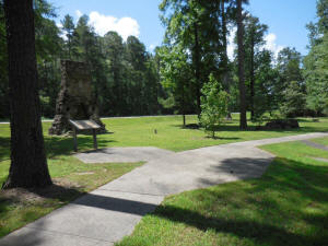
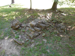
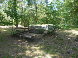
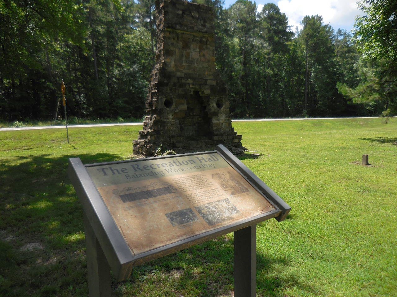
1. The Recreation Hall |

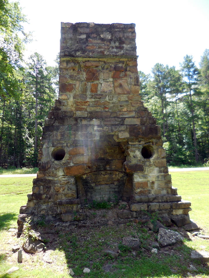
"C" This is the front of the
fireplace that
once heated the recreation hall. A popular
gathering place in the evenings for playing
cards,
checkers or ping pong, read or just visiting.
On Sunday, church services were held inside.
Dances,
musical programs and other social activities
were held
on weekends and holidays.
34.84435°, 93.10667° |

"C" Back of fireplace. |
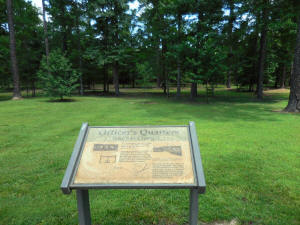
2. Officer's Quarters
The building was little more than a shed.
There was also a laundry shed attached to the
back of the quarters.
The camp had an army officer in charge of
running the daily routine and administrative
activities.
34.84441°, 93.10684° |
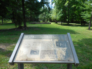
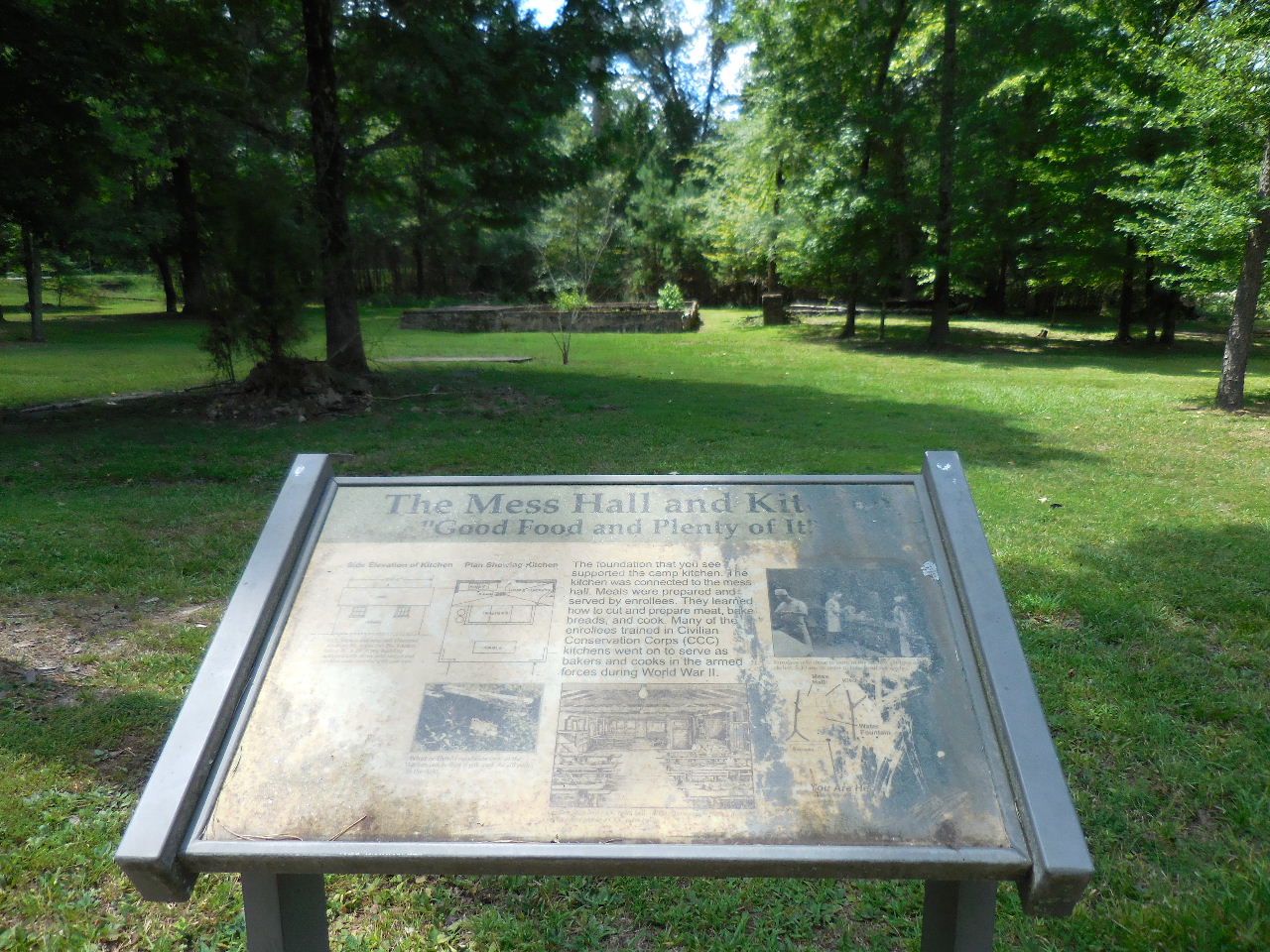
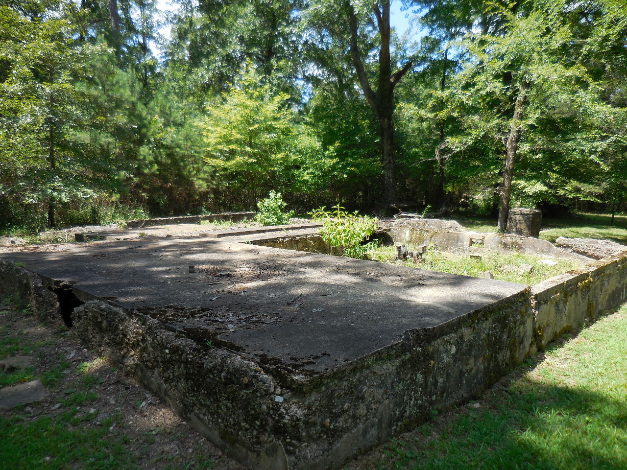
3. The Mess Hall and Kitchen
|
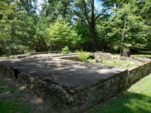
"E" Mess Hall and Kitchen
The foundation supported the camp kitchen.
Kitchen was connected to the mess hall. Meals
were prepared and served by enrollees. They
learned how to cut and prepare meat, bake breads,
and cook. Many of them went on to serve as bakers
and cooks in the armed forces during WWII.
34.84416°, 93.10747° |
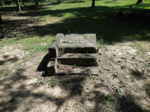
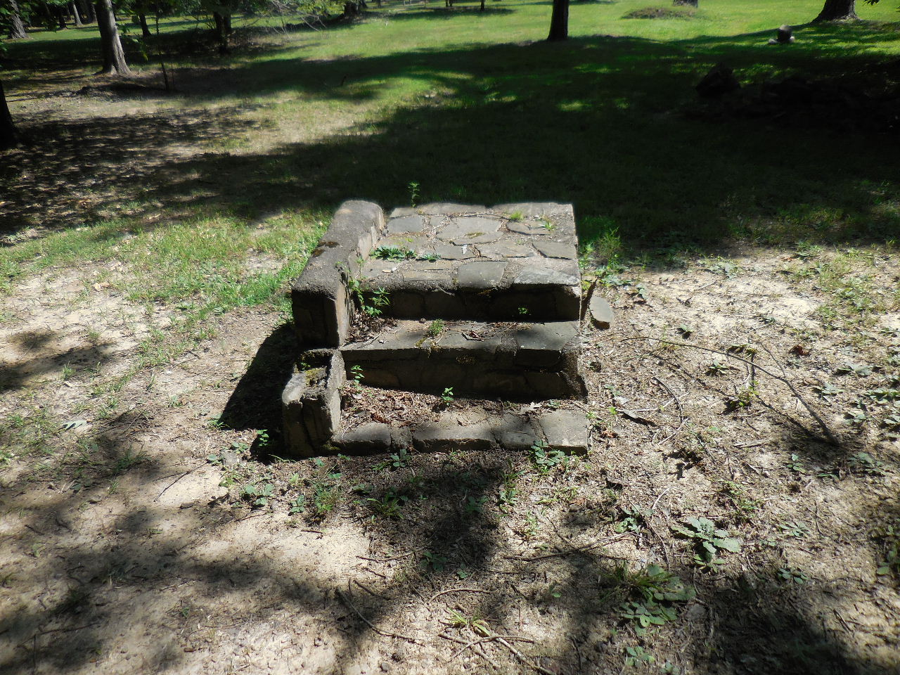
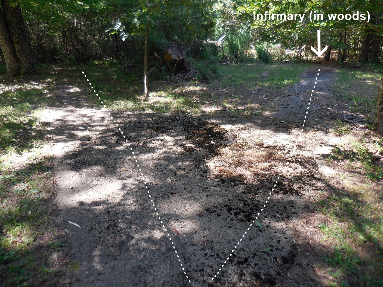
"F" Steps to Forest Service Office
34.84398°, 93.10727° |
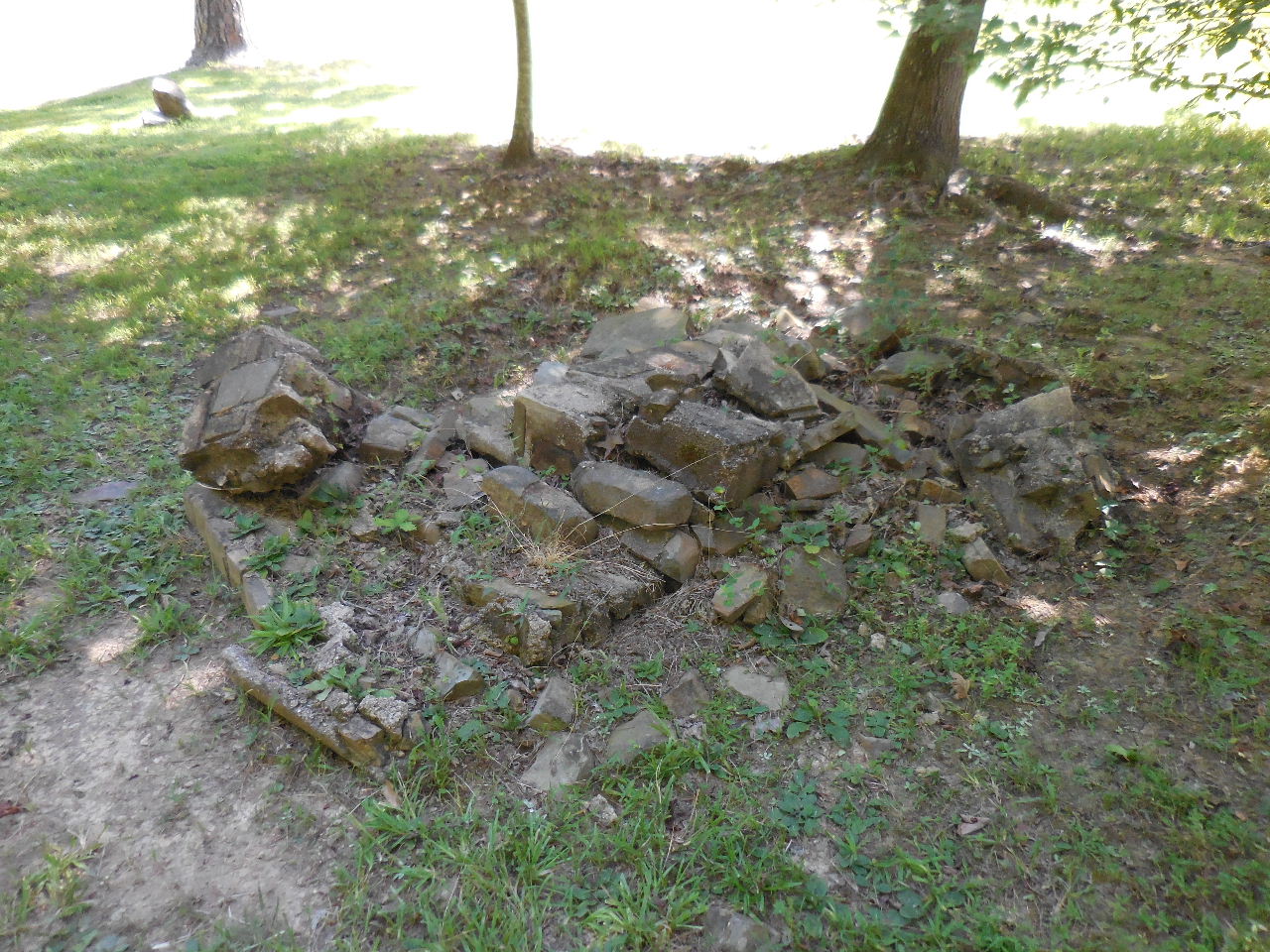
Rock foundation near "F" |
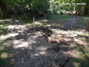
"G" Infirmary (in woods)
34.84409°, 93.10793° |
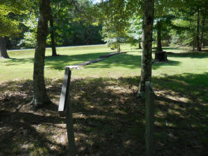
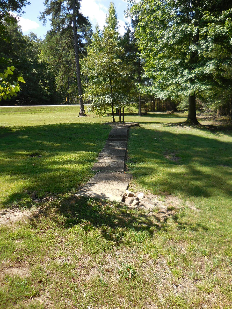
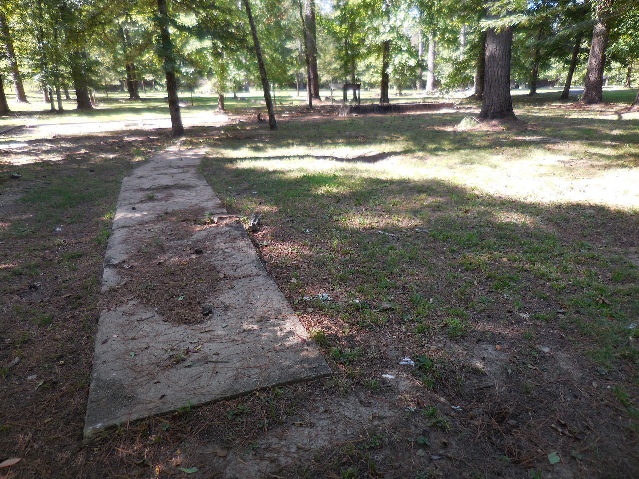
Sidewalk between Chimney and FS
Office
(Heading southwest) |
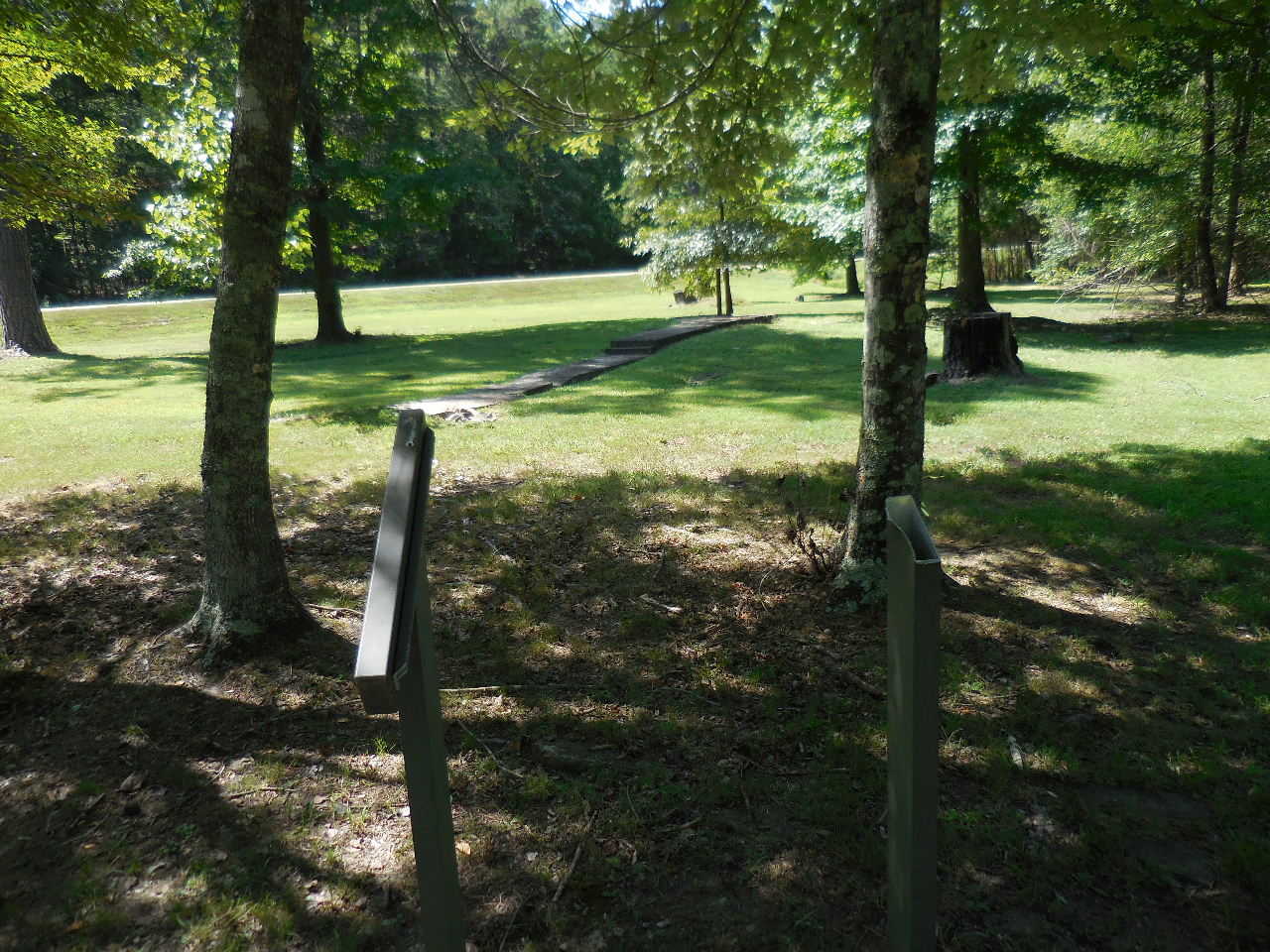
Missing Interpretive Sign ?
(Showing sidewalk and 2-pipes) |
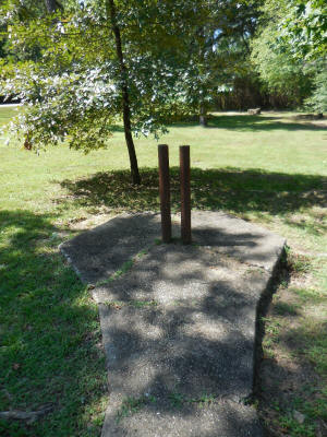
Two pipes at end of sidewalk
34.84396°, 93.10766° |
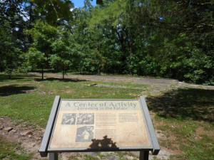
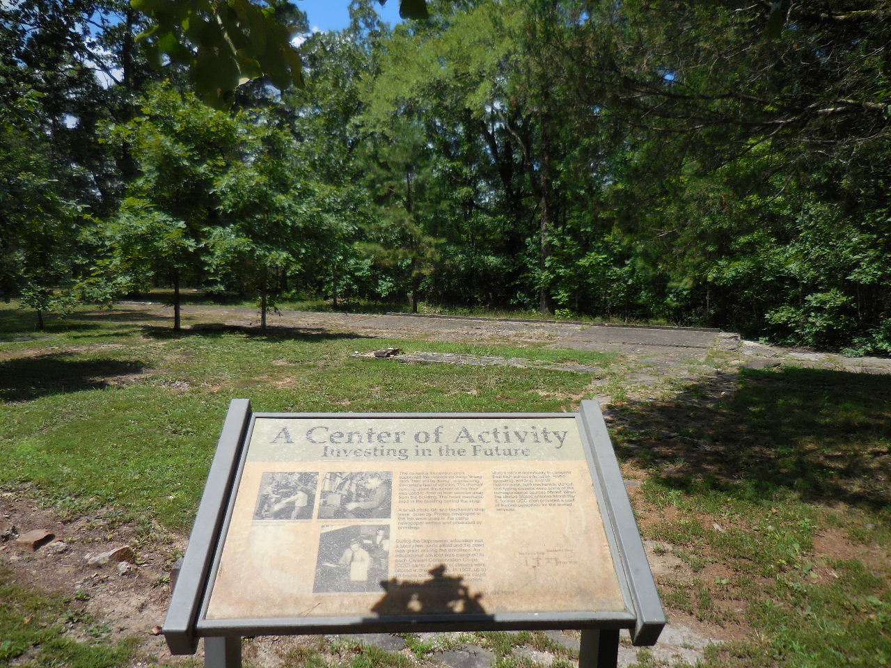
4. A Center of Activity
Many took the opportunity to complete their high school
education. During the Depression, education was a
luxury few could afford and the need was great among
the enrollees. An education adviser was assigned to
each camp. A variety of classed were offered in the
evenings. Up to 10 hours our of the work week could be
used by the enrollees for education and vocation training. |
"J" Mechanic's Shop
The concrete foundation once supported
the mechanics shop. Young men learned by
doing, maintaining the camp's fleet of vehicles.
"K" A small photo lab and blacksmith shop were
close by. Photos developed in the lab were used
in the camp newspaper written and produced by them.
34.84462°, 93.10786° |
"I" Mechanic's Residence
(Located behind the mechanic shop)
34.84462°, 93.10799° |
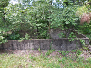
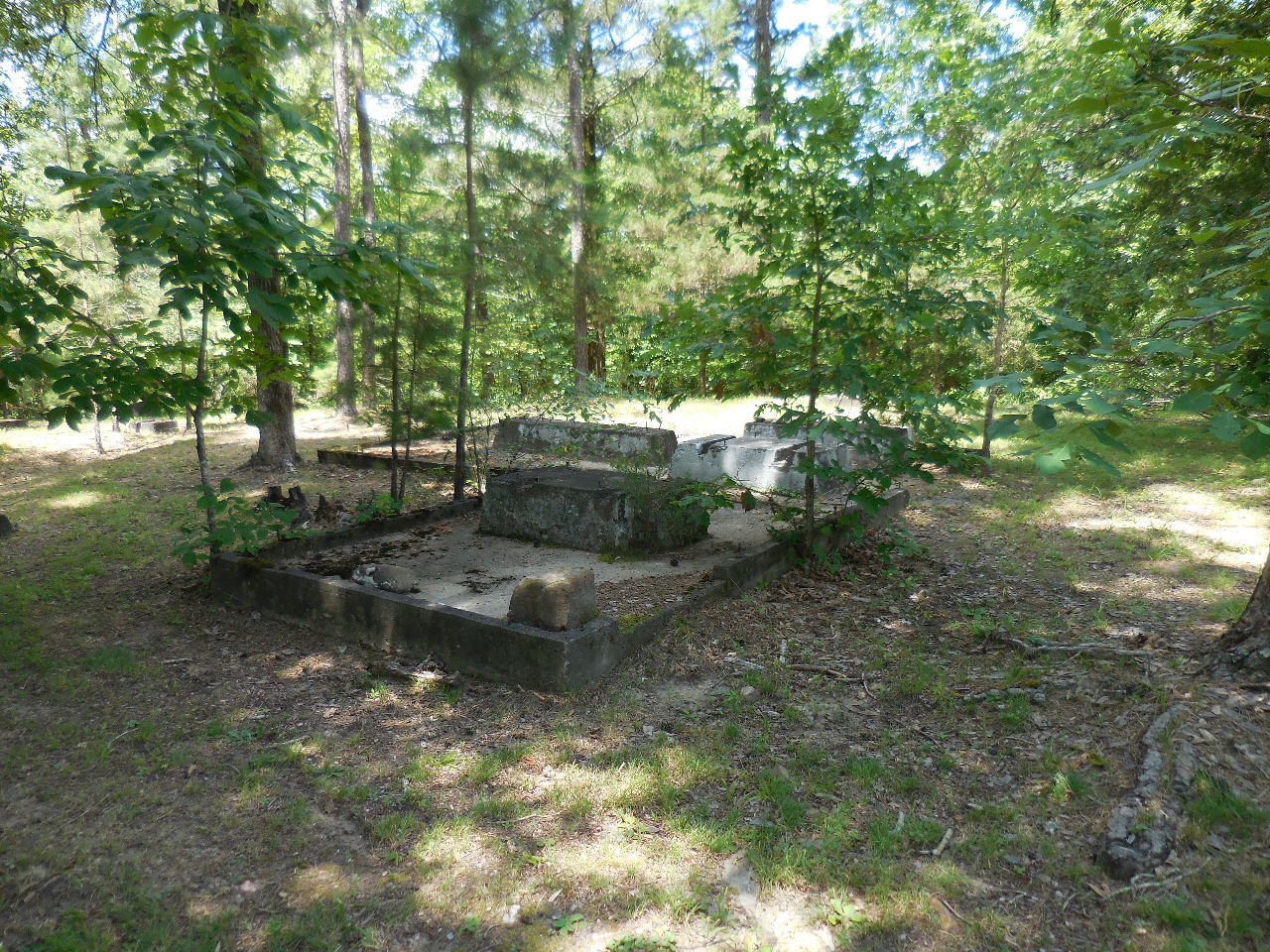
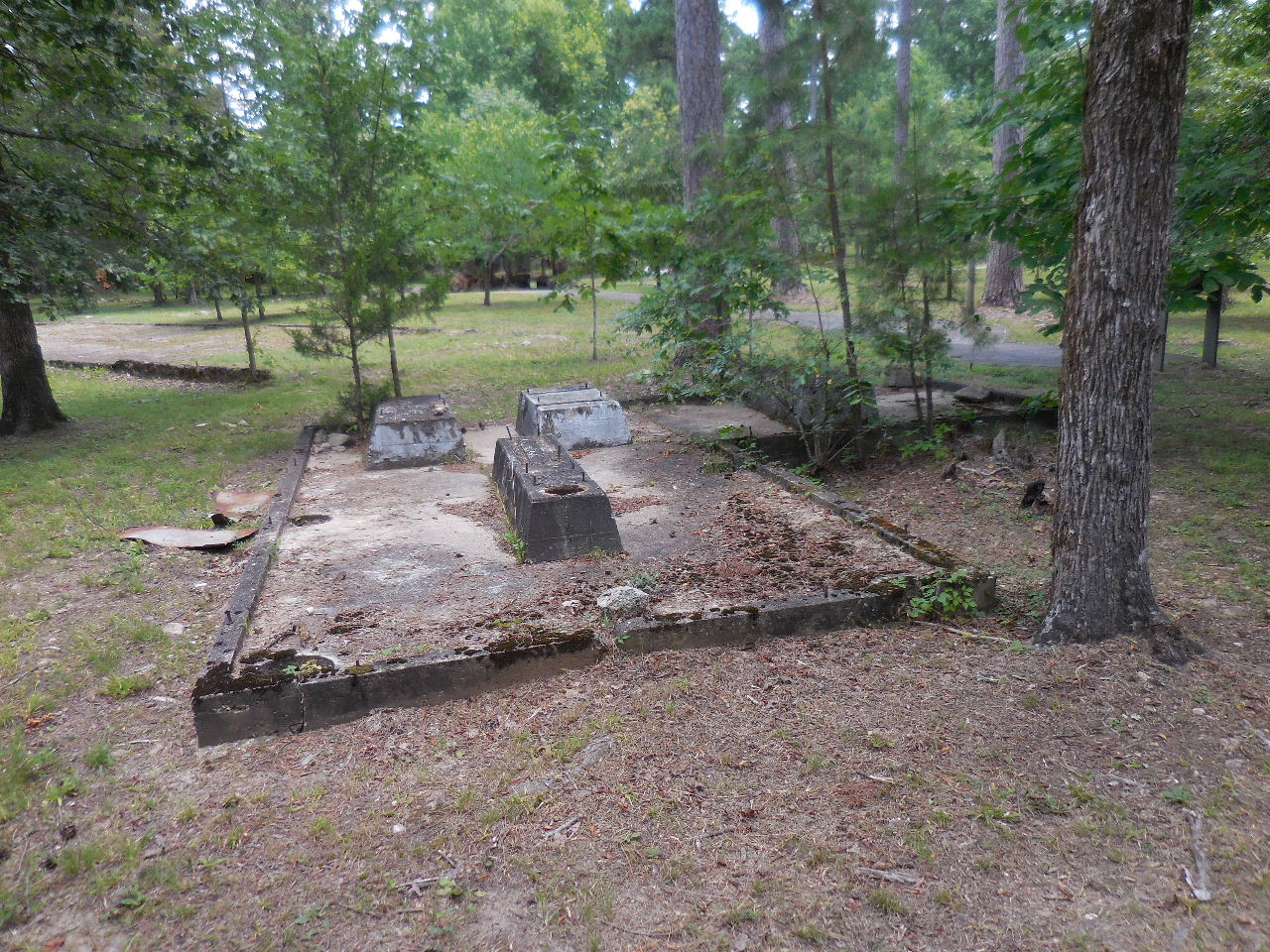
"H" Water Supply and Powerhouse
This small building contained the pump for the
camps water supply and power plant.
|
"H" These piers were used to support
the
water storage tanks. The water then could be
supplied to the camp by gravity.
34.84436°, 93.10806° |
"H" Generators supplied the camp with
electricity. The buildings were heated
by
wood stoves. |
"K" Buried Conc. Slab to one of the
buildings.
34.84503°, 93.10770° |
One of two sideways leading
to "P" Unknown Buildings |
"L" Conc. Slab for Shop
34.84505°, 93.10743° |
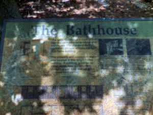
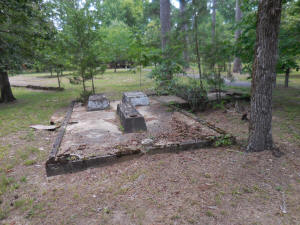
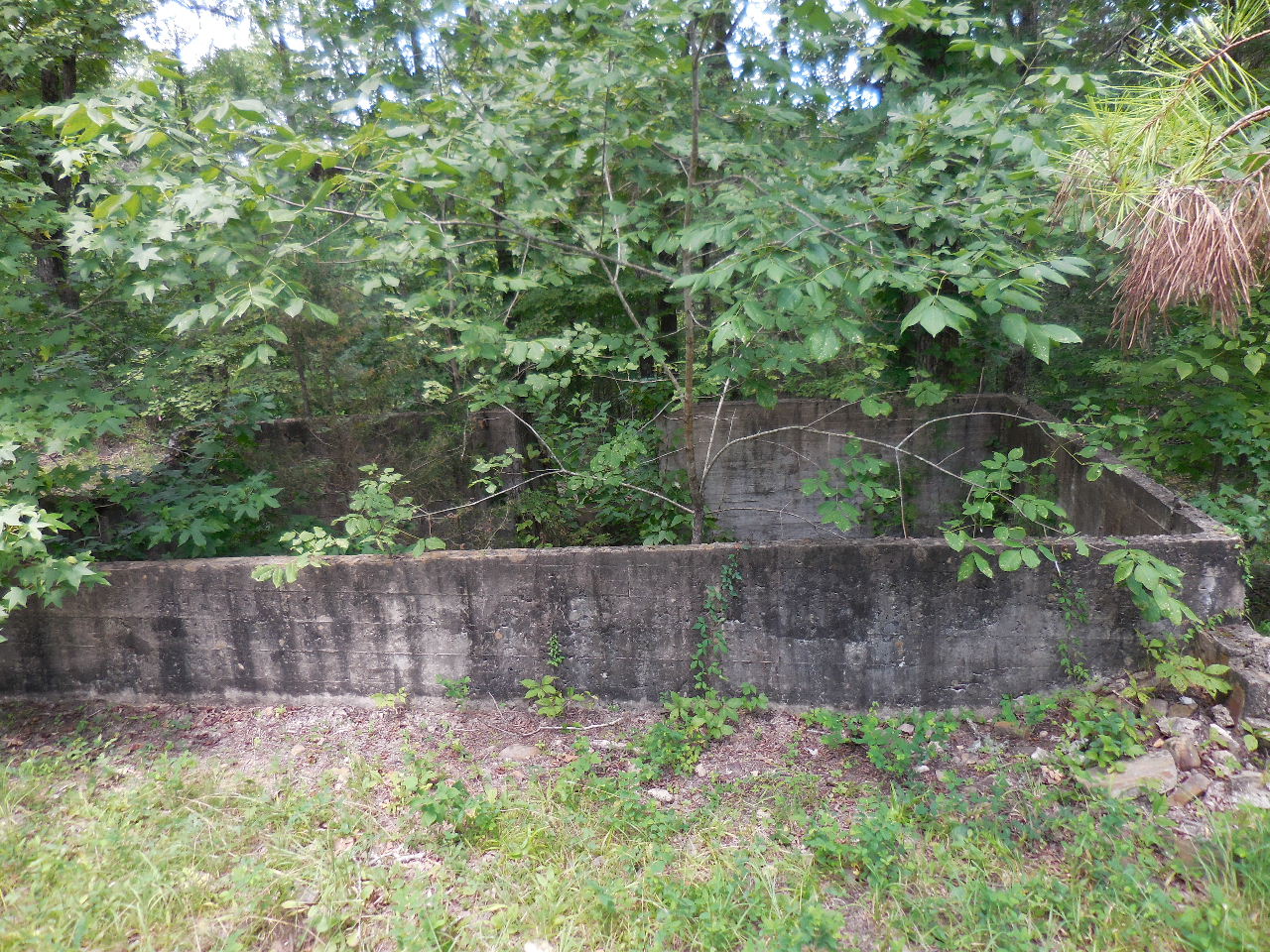
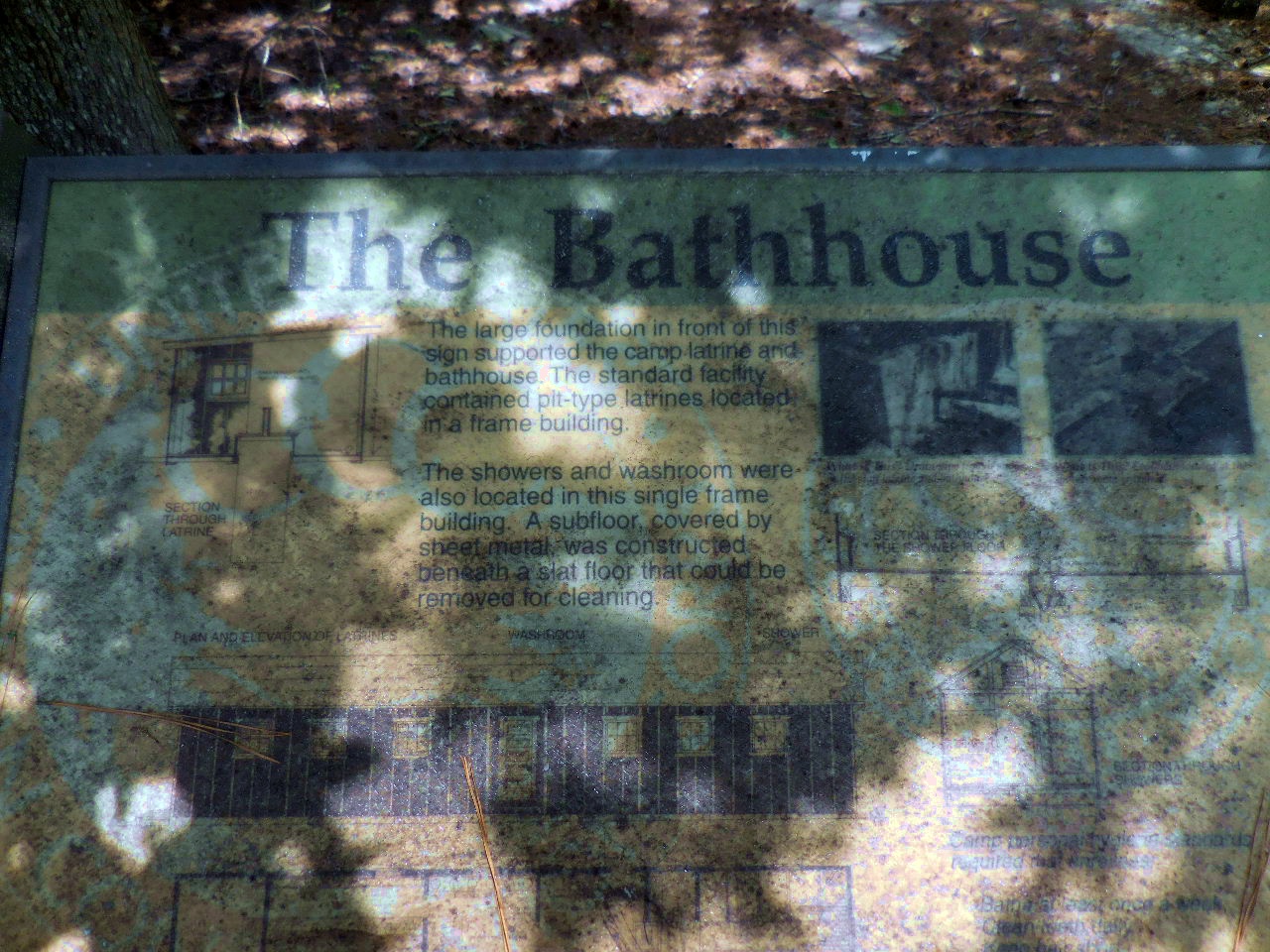
6. The Bathhouse |
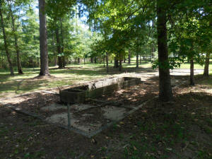
"M" Bathhouse and Latrine
The large foundation supported the camp latrine
and bathhouse. The standard facility contained
pit-type latrines located in the frame building.
The showers and washroom were also located here.
A subfloor, covered by sheet metal, was constructed
beneath a slat floor that could be removed for cleaning.
34.84470°, 93.10720° |
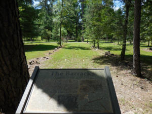
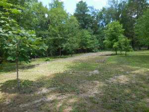
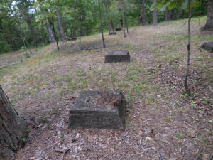
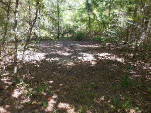
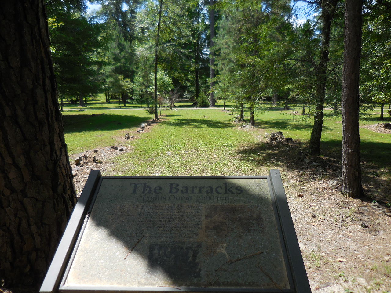
7. The Barracks
The only thing remaining of the four barracks
is the foundations and walkways. The buildings
were long and narrow, 110' x 20', asphalt roofs and
wood burning stoves for heat. There were 20 to
30 simple army cots per building with a foot locker
and standing locker for each enrollee.
34.84455°, 93.10715° |
|
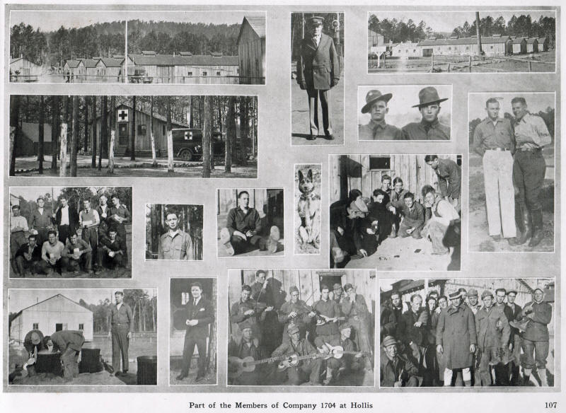
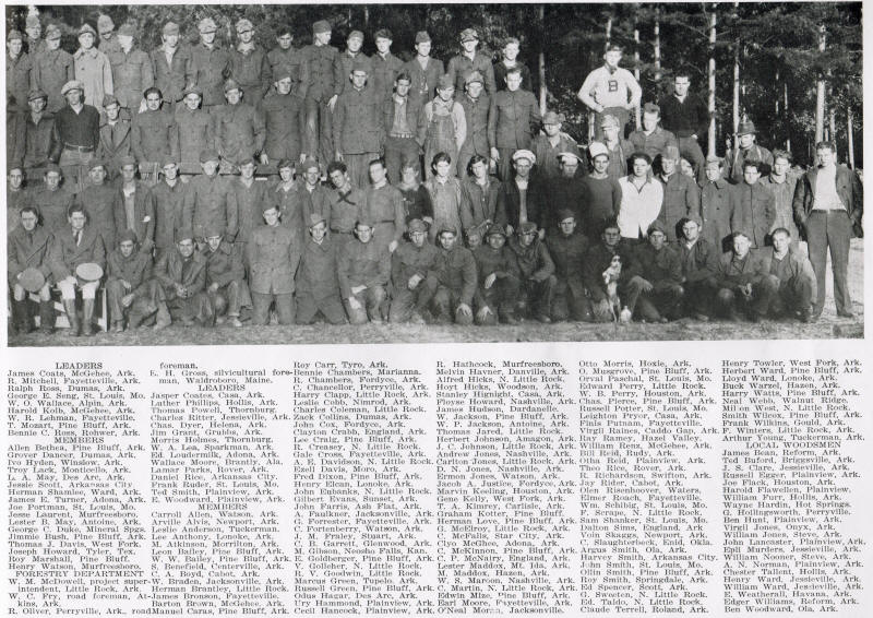
The following pictures are from:
Arkansas Civilian Conservation Corps
Pictorial Review 1933-1934 Parke-Harker
Company, Little Rock, AR

|
 |
| |
 |
| |
 |
| |
Click on the above picture and read a
story about the Hollis Camp.
|
|
|
_small.jpg)
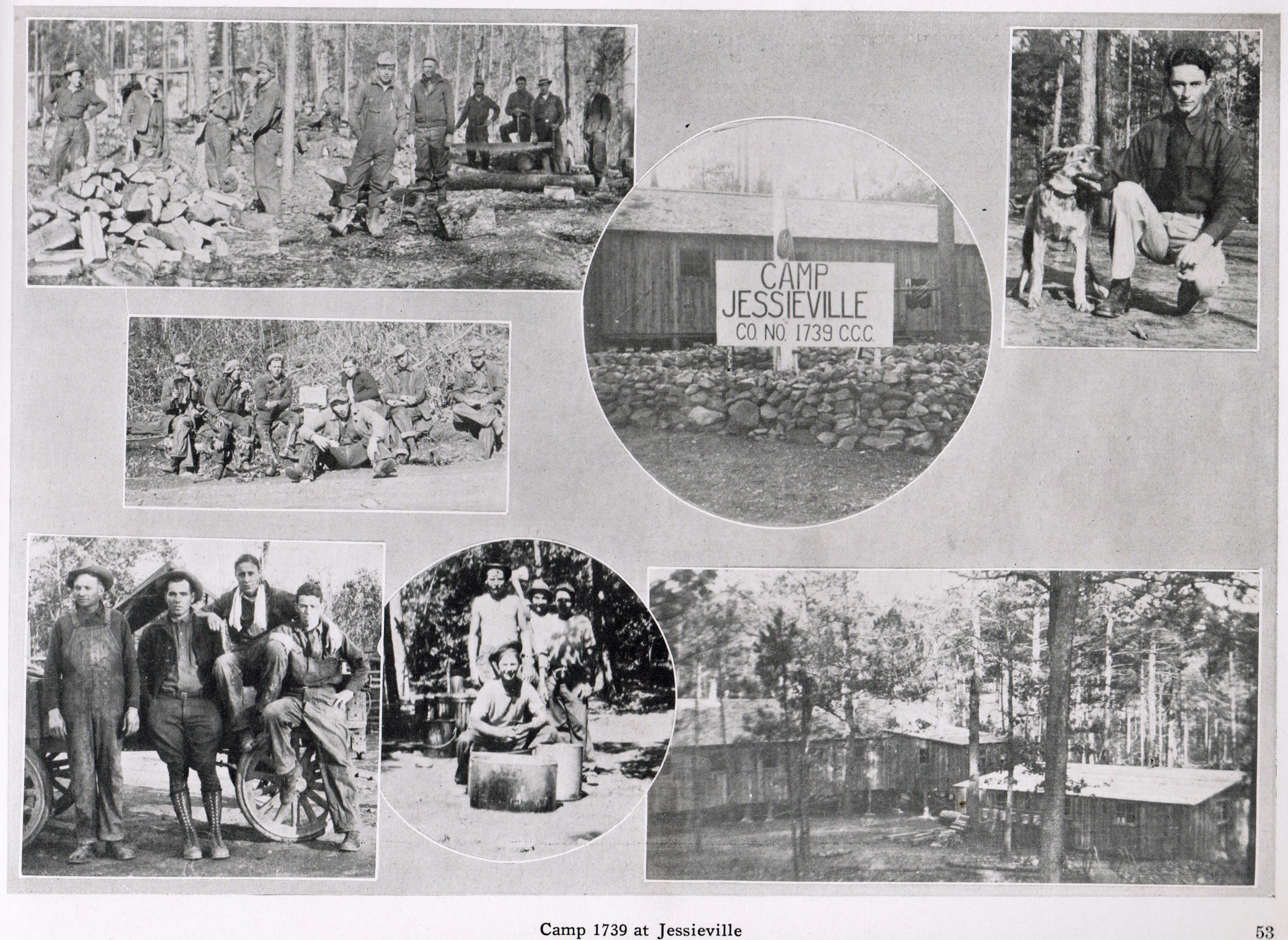
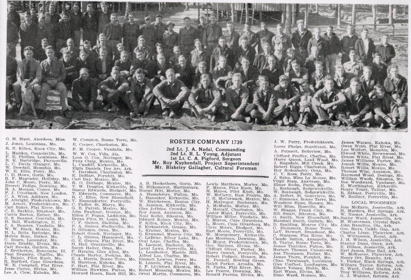
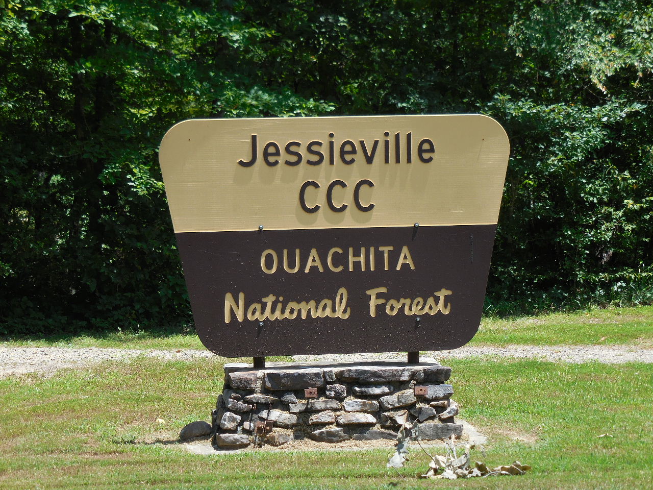
Jessieville CCC Camp
Project F-15, Company 1739, 6/23/33
Garland County, Arkansas |
|

Jessieville CCC Camp
|
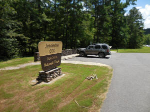
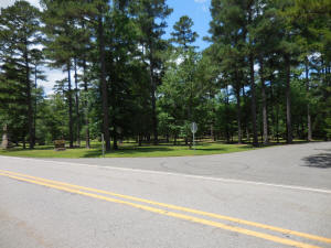
Parking Area along Hwy. 7
34.76474°, 93.07653°
(3.7 miles north of Jessieville High School) |
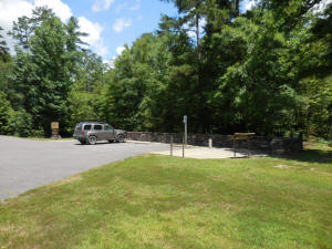
Looking at south end of parking area |
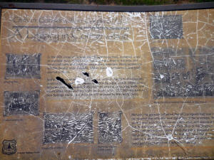
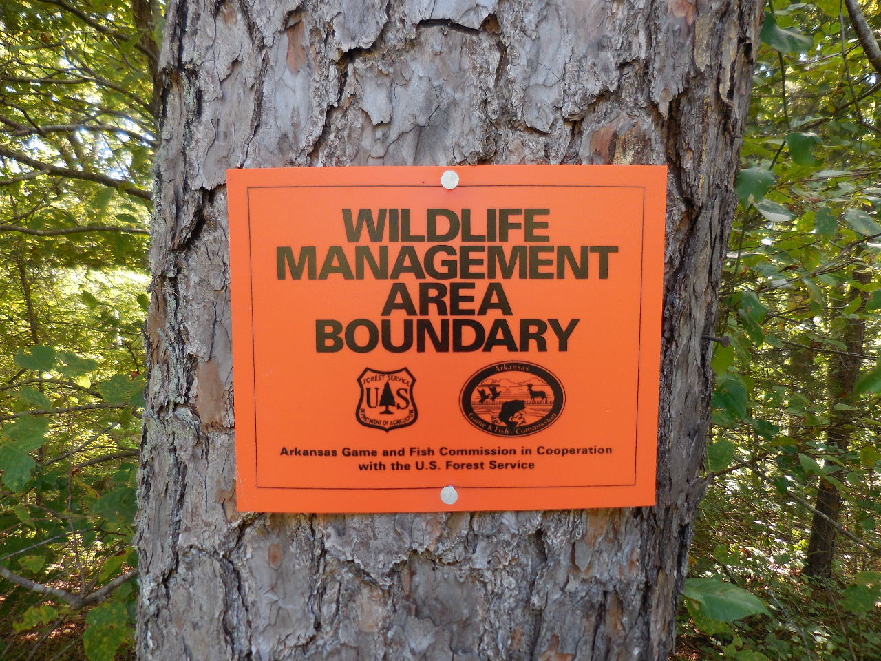
Interpretive Sign
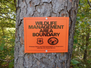
Area where CCC Camp existed is
now in a Wildlife Mangement Area. |

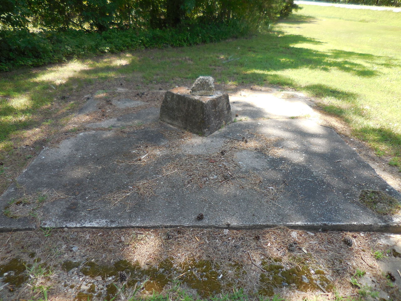
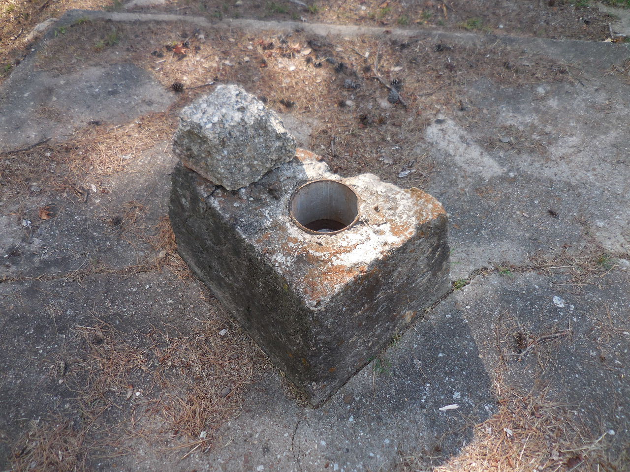
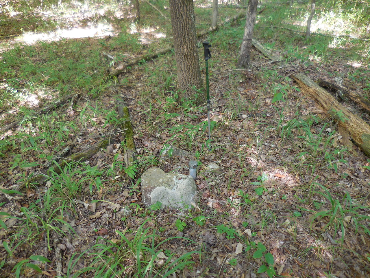
Conc. Pad and Pier
34.76459°, 93.07629°
(South of parking area)
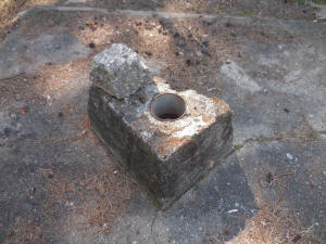
(Possibly a well?) |
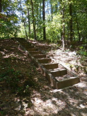
Stairs leading down to creek
and over to CCC Camp area.
34.76502°, 93.07658°
|
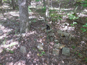
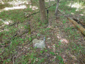
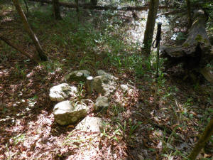
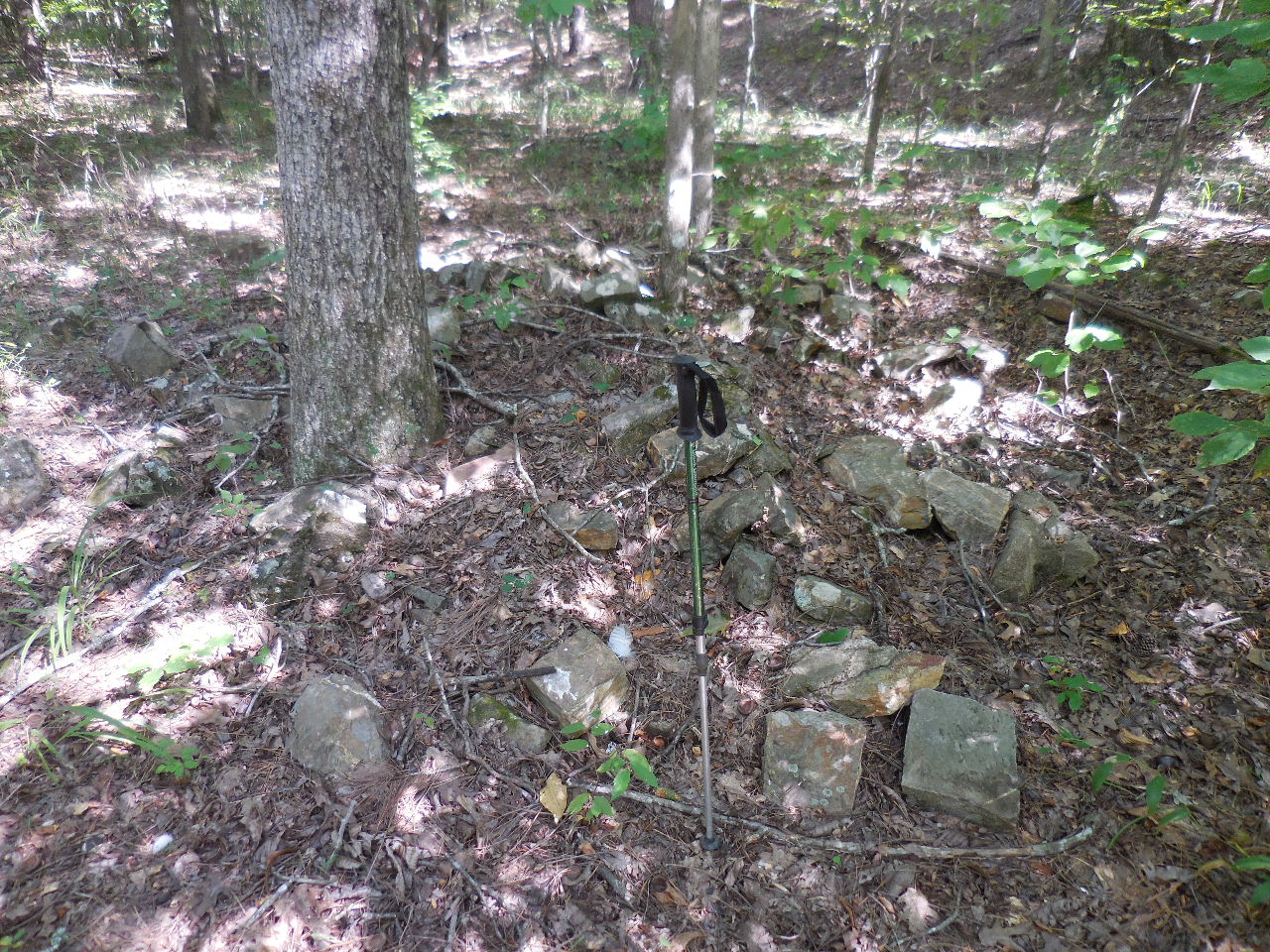
Pile of foundation rocks
34.76523°, 93.07577°
(There were a lot of piles in area) |

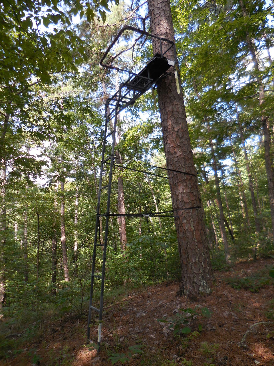
Someone's deer stand.....
34.76545°, 93.07552° |
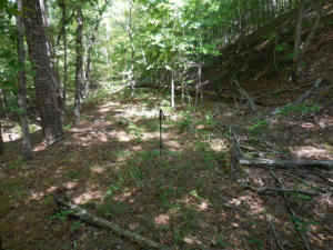
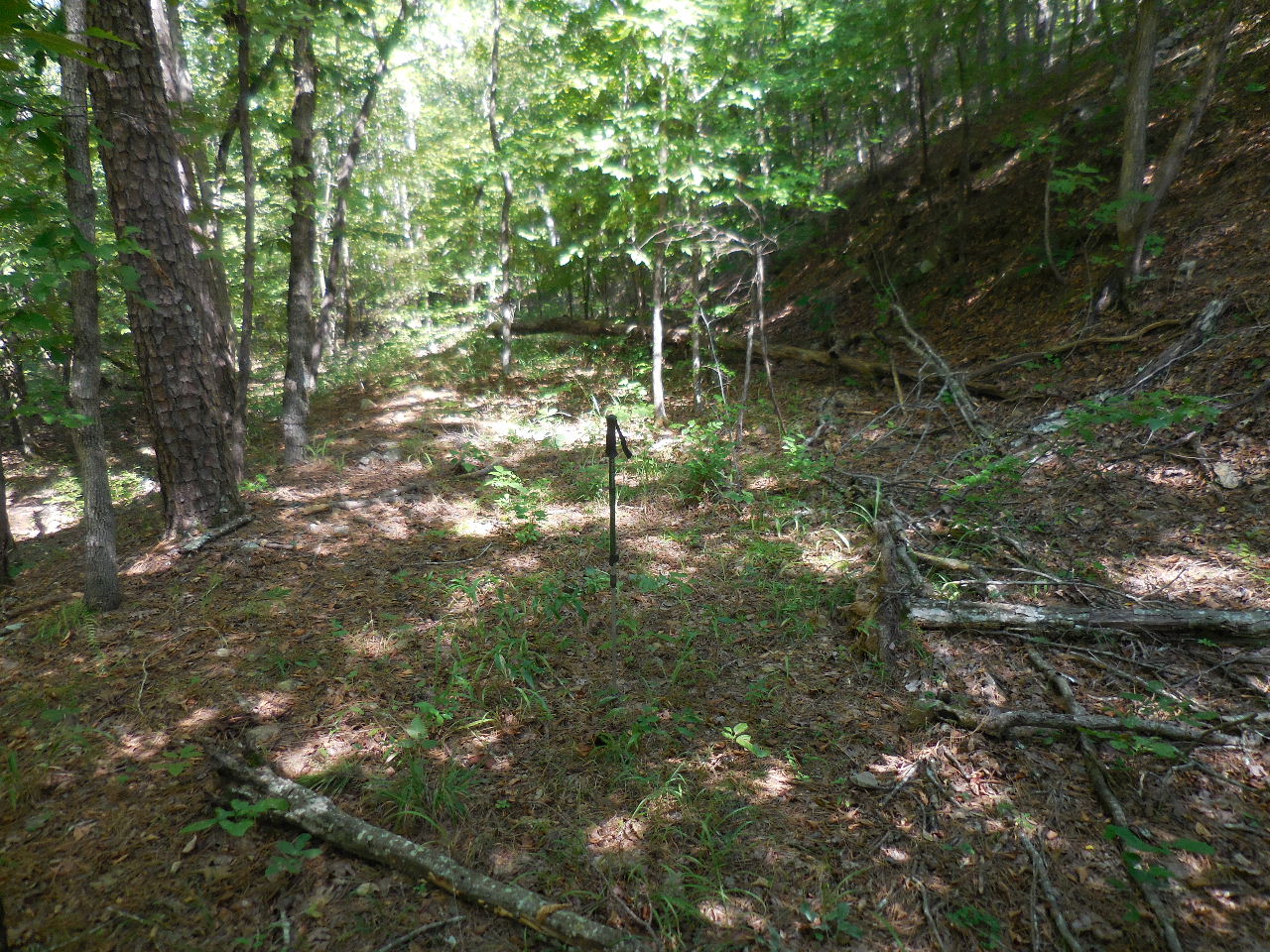
Evidence of long building pad
34.76502°, 93.07536° |
East 1/4 Corner, Sec. 1, T-1-N,
R-20-W
34.76489°, 93.07552° |
West 1/4 Corner, Sec. 6, T-1-N,
R-19-W
34.76478°, 93.07542° |

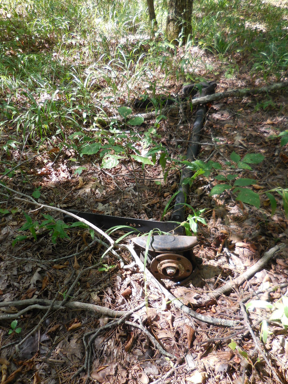
Old trailer axle..... |
|
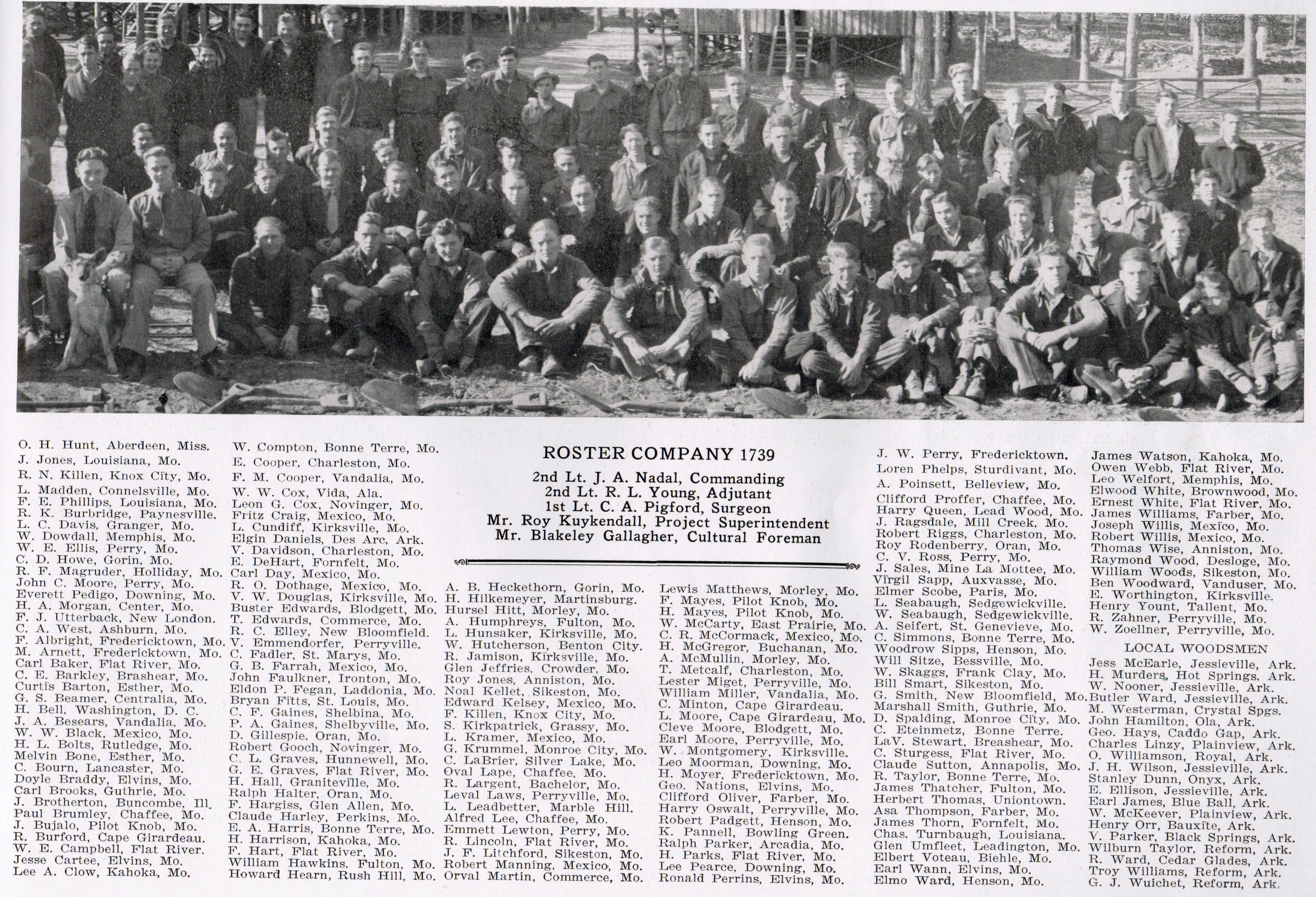
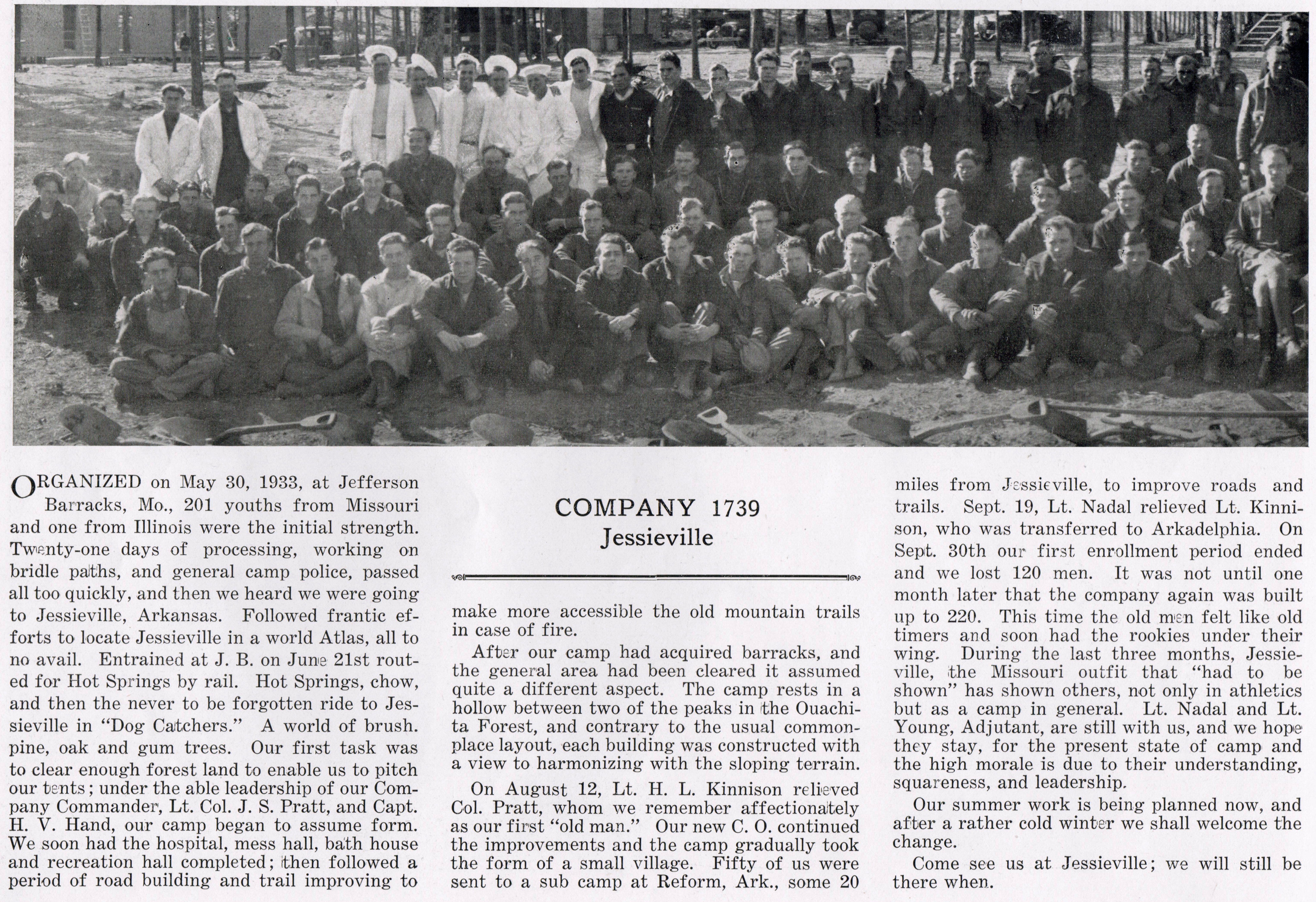
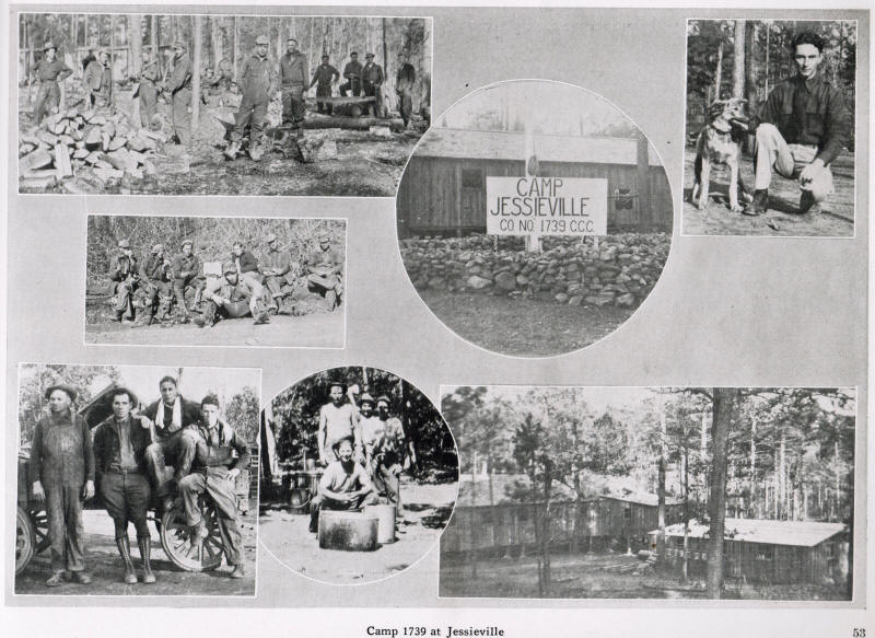
.jpg)
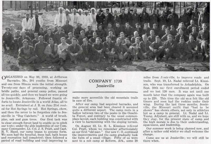
Camp Jessieville Company 1739 August
1933 |
_small.jpg)
Mess Hall |
_small.jpg)
Tent Camp |
_small.jpg)
Hospital |
_small.jpg)
Officer's Quarters |
Photos from
Civilian Conservation Corps Legacy
http://www.ccclegacy.org/Archives_Arkansas.php
|
_small.jpg)
Bath House |
|
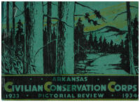
The following pictures are from:
Arkansas Civilian Conservation Corps
Pictorial Review 1933-1934 Parke-Harker
Company, Little Rock, AR
|
 |
| |
 |
| |
 |
| Click on the above picture
and read a story about Jessieville Camp. |
|

.JPG)
.JPG)

.JPG)

.JPG)


.jpg)


.jpg)
.jpg)
.jpg)
.jpg)
.jpg)