| TAKAHIK River Valley Hikers |
| Home Scheduled Hikes Pictures Videos Membership Links Trails & Waterfalls Products In Memory Of Scholarships |
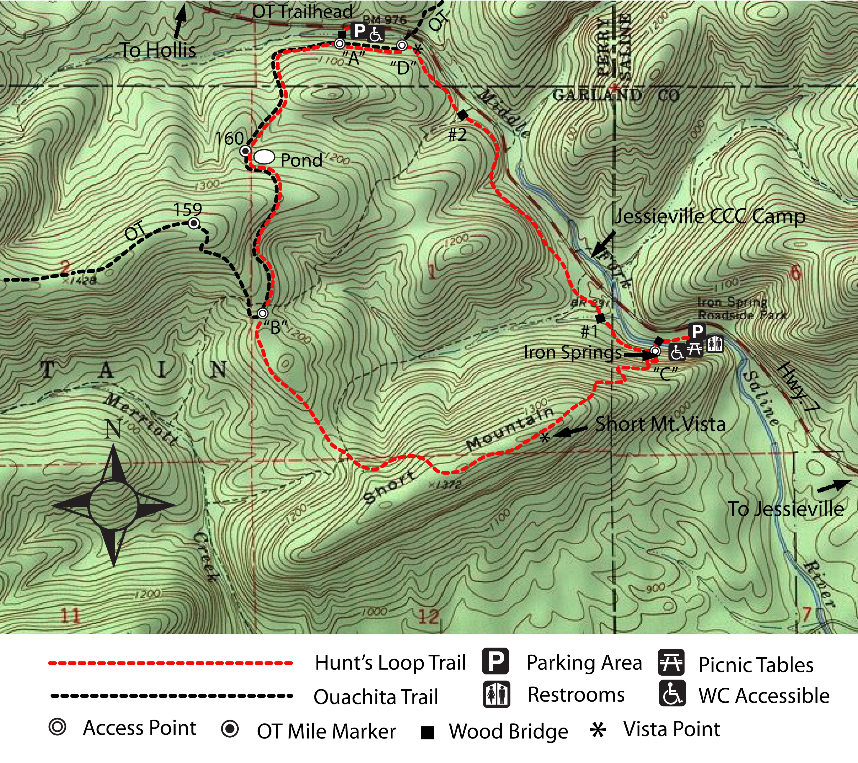
| HUNT'S LOOP |
Iron Springs Recreation Area is located on Hwy. 7, 4.7 miles north of The Shack in Jessieville or
10.4 miles south of the Hollis Country Store in Hollis. The Ouachita Trailhead is located 1.4 miles north of Iron Springs Rec. Area
The Trail is rated moderate and is a total of 4.6 miles with a steep climb to the top of Short Mountain. From OT Trailhead it is a total
of 360 feet elevation climb and a 470 feet elevation climb from Iron Springs.
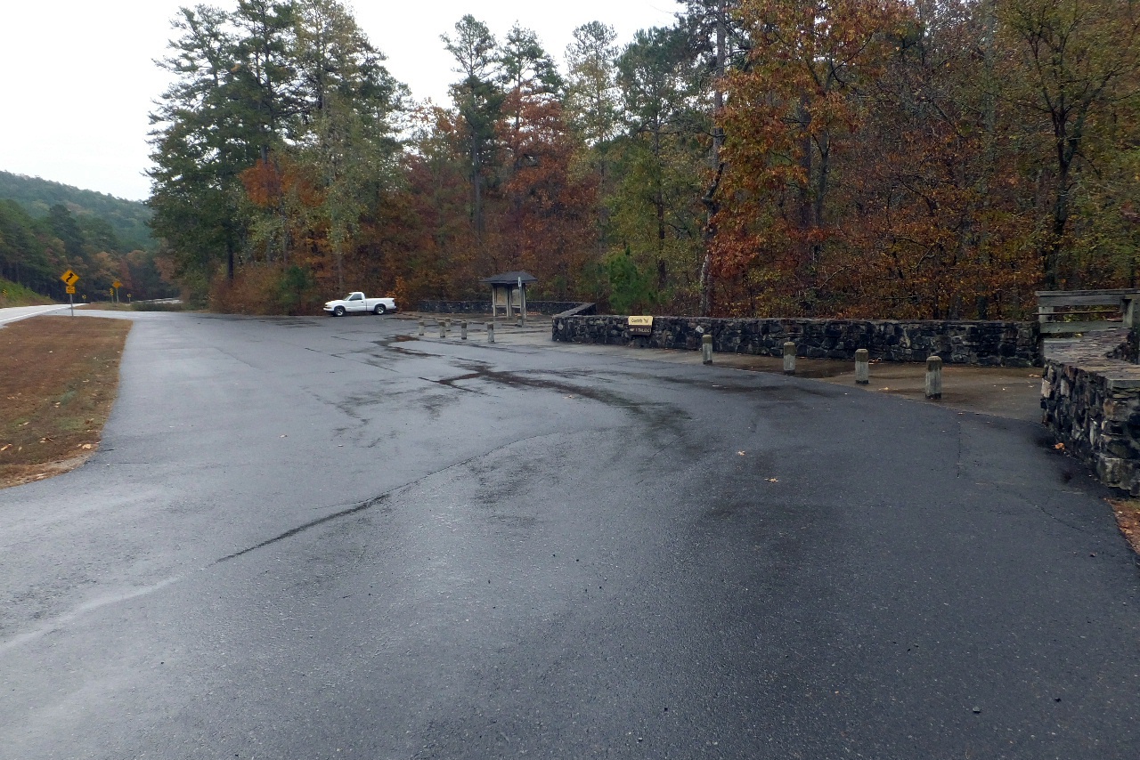 Parking Area at the OT Trailhead |
 OT Trailhead 34.77402°, 93.08825° Mile 160.4 |
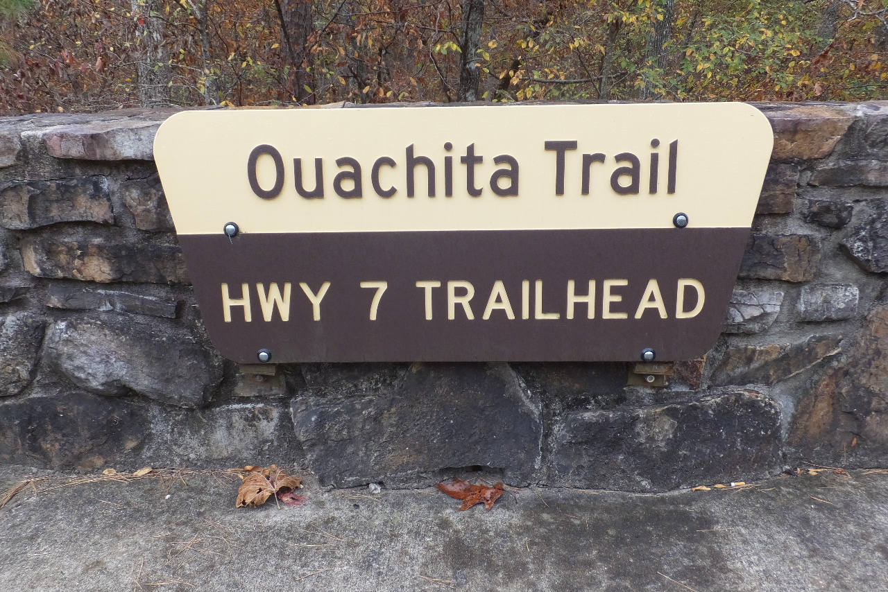
 Entrance to Hunt's Loop and the OT |
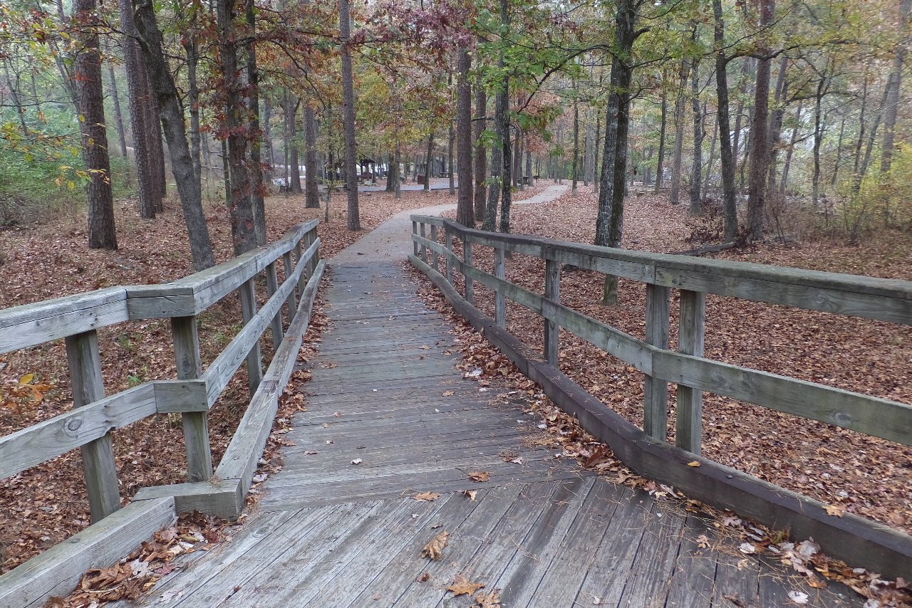
 Intersection after crossing bridge (Left is a short WC accessible conc. trail and is also the Hunt's Loop and OT) (Straight ahead is Hunt's Loop and OT) |
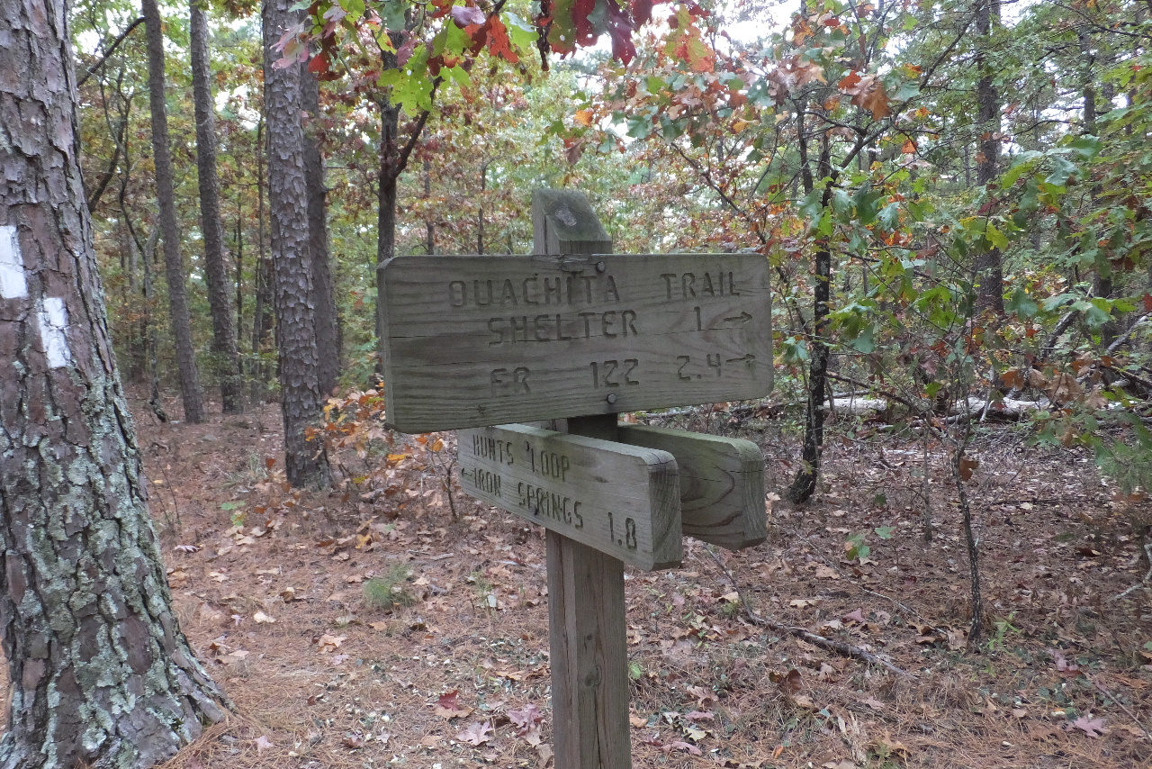
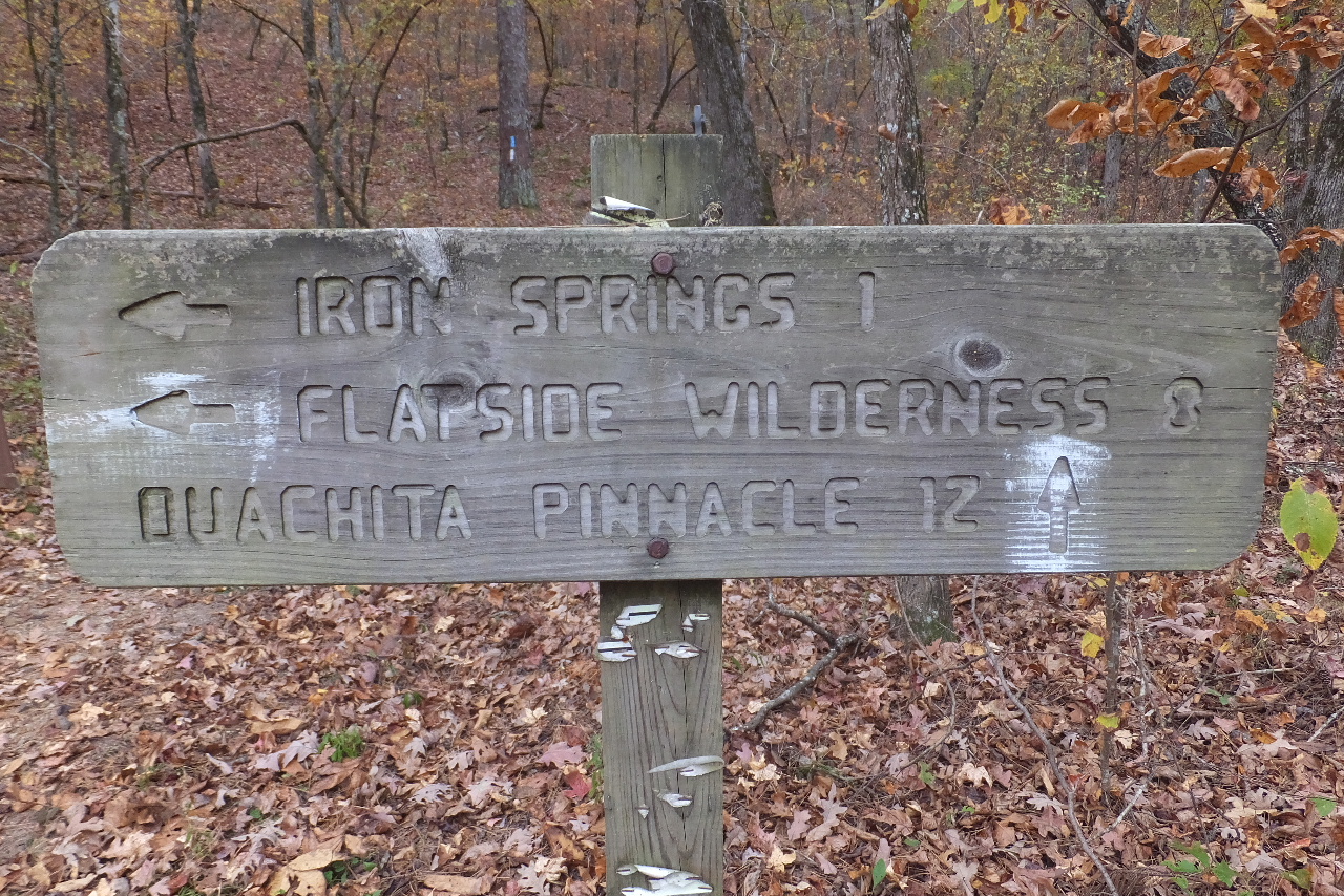 Sign at Intersection Access Point "A" 34.77379°, 93.08837° |
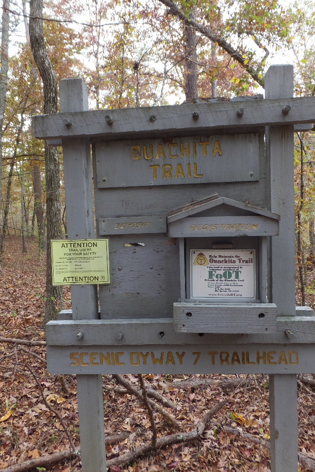 Sign In Box for the OT 34.77368°, 93.08855° |
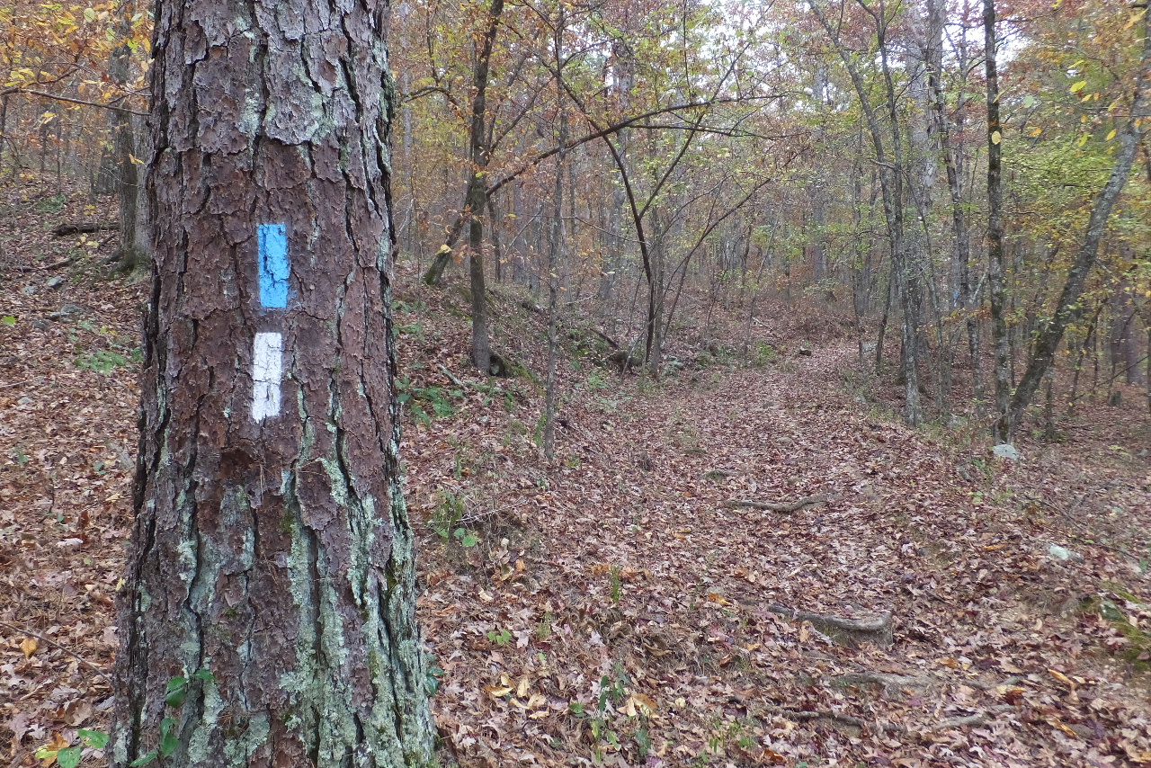 Typical Trail Markings (Blue - OT, White - Hunt's Loop) |
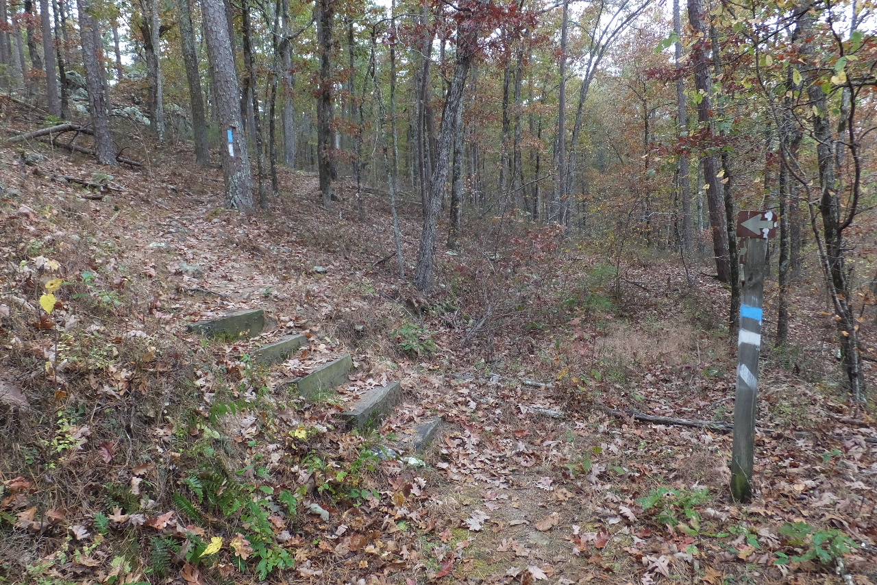 Steps leading up....... |
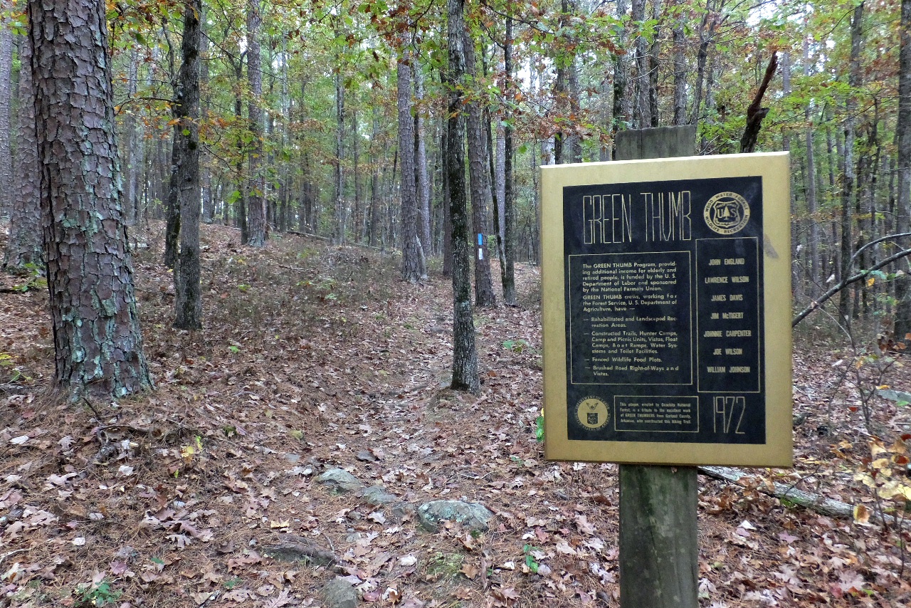 Green Thumb Sign 34.77264°, 93.09144° |
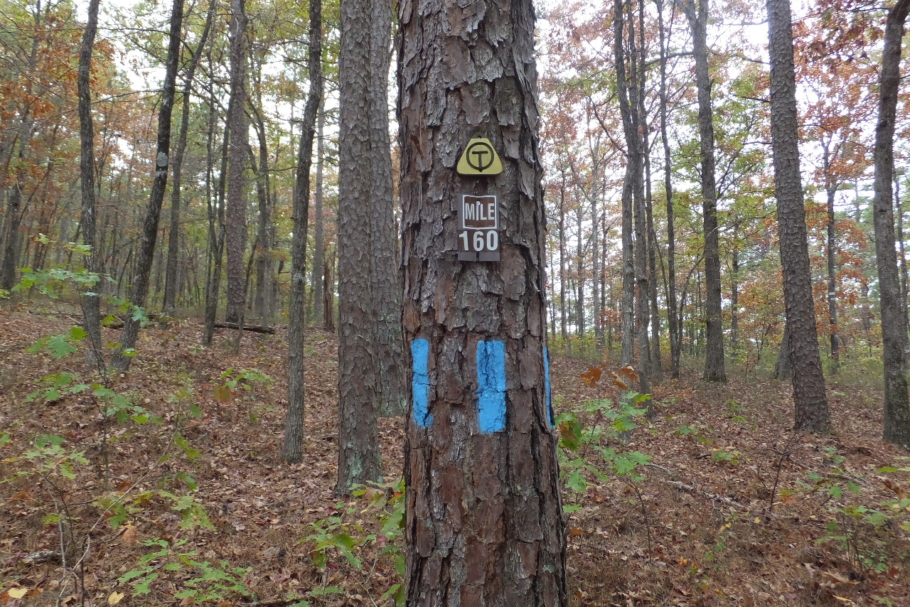 OT Mile Marker 160 34.76924°, 93.09301° |
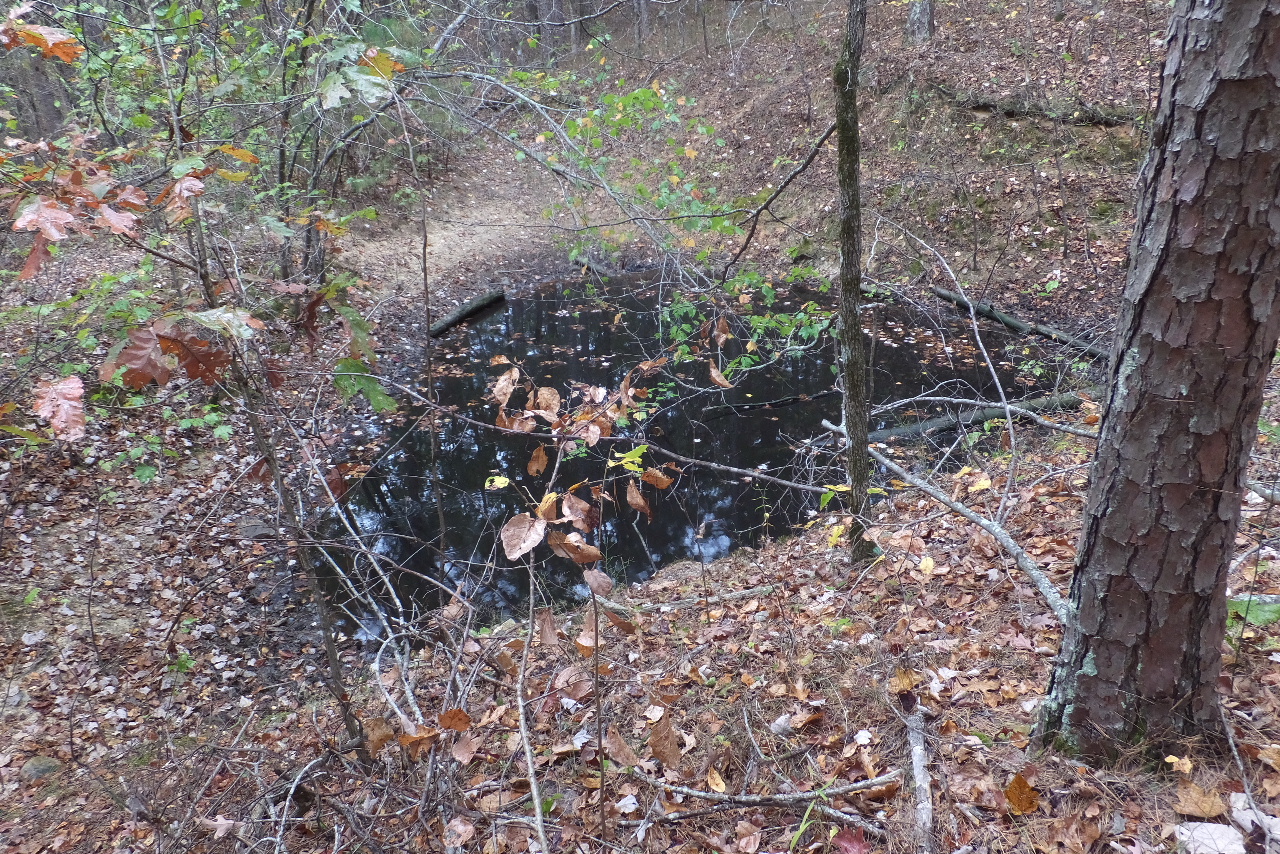 Wildlife Pond just passed MM 160 |
 Intersection of the OT at Mile 159.4 Access Point "B" 34.76274°, 93.09240° |
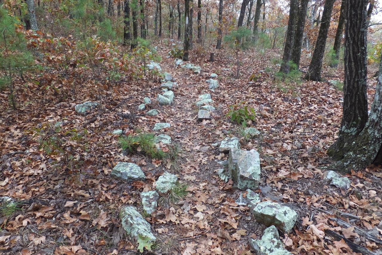 Typical Trail along Short Mt. Ridge (Hunt's Loop) |
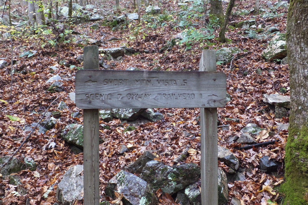
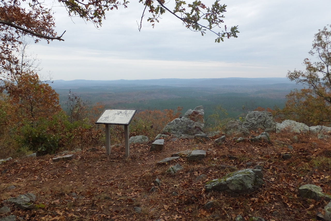 Short Mt. Vista (Looking Southeast) 34.75814°, 93.07847° |
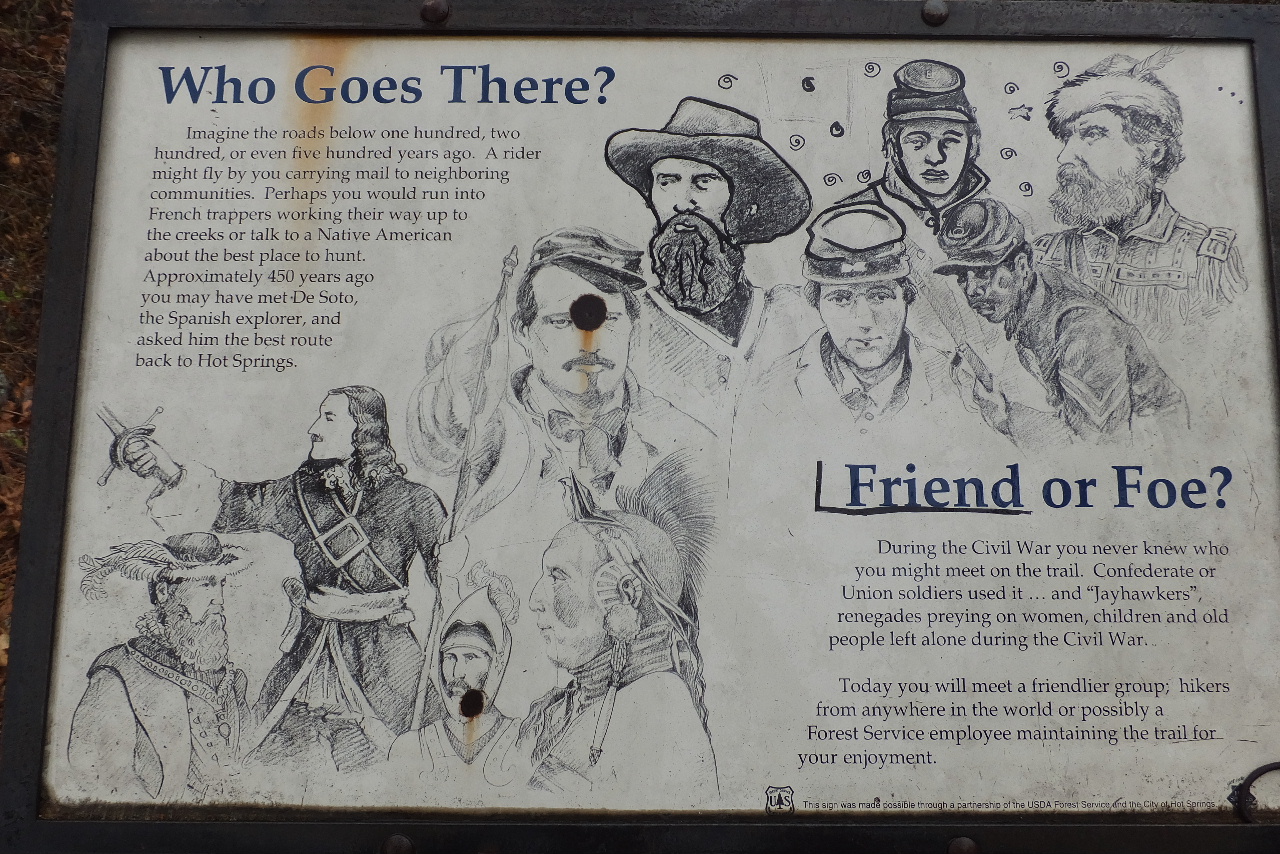 Who Goes There? Friend or Foe? |
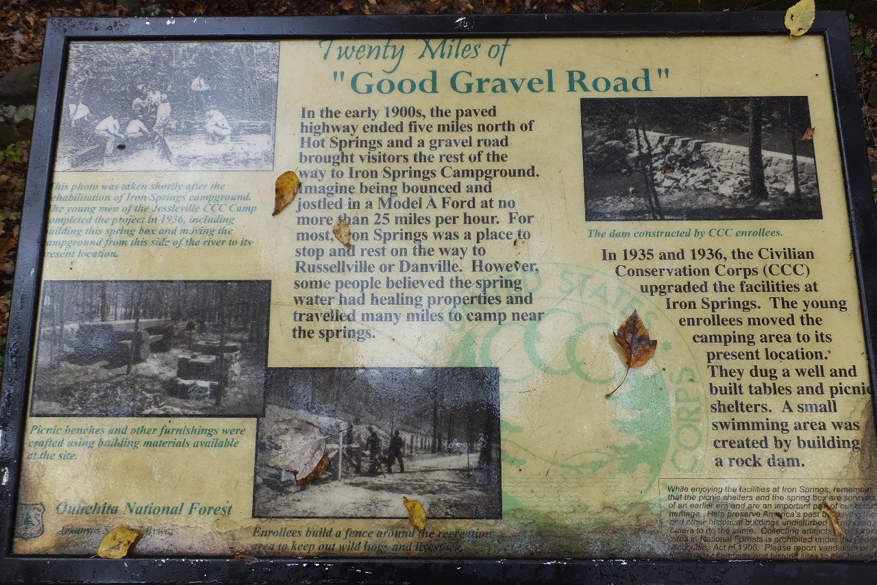
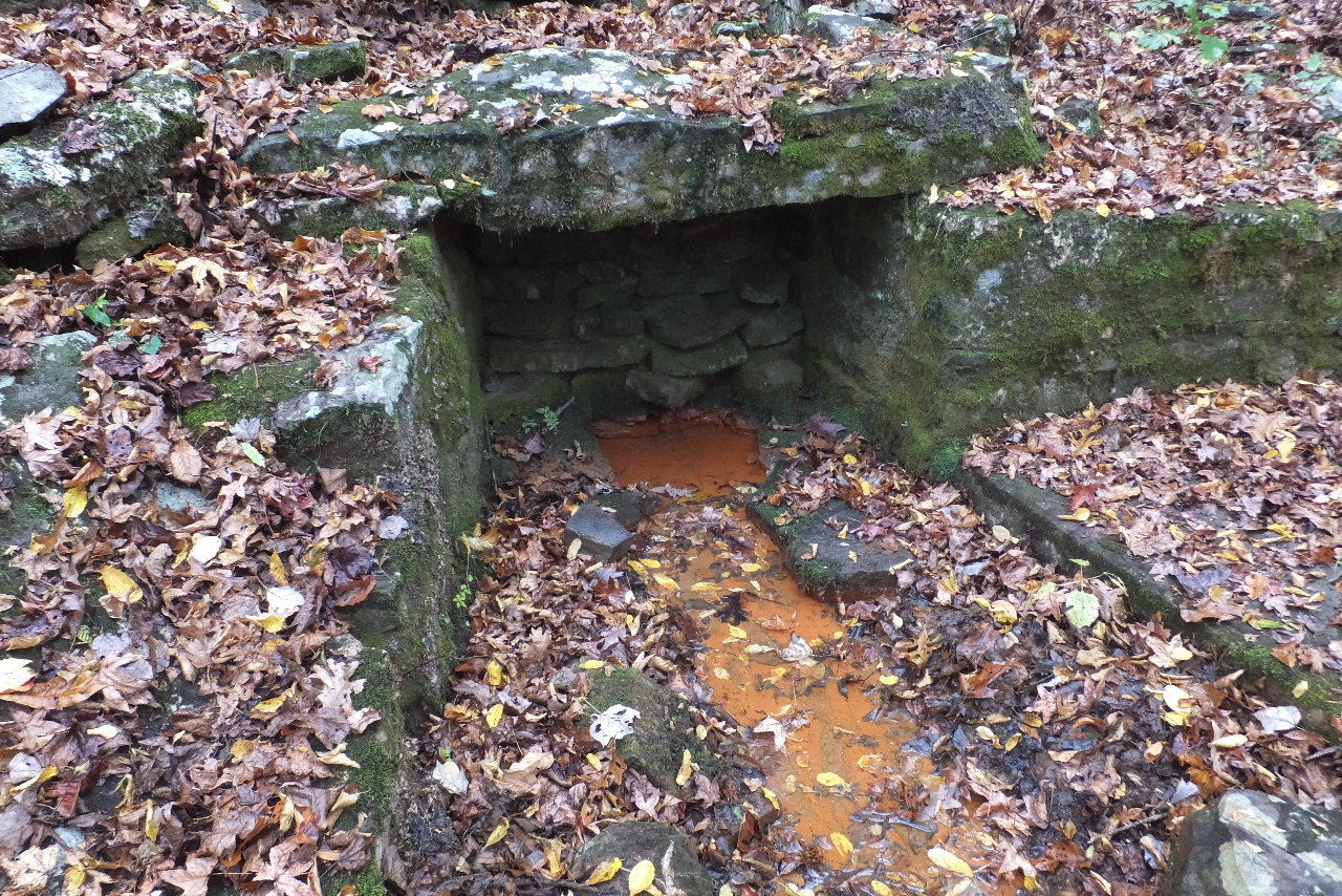 The actual Iron Springs 34.76138°, 93.07316° |
 Intersection of Hunt's Loop and Trail leading to Iron Springs Recreation Area Access Point "C" 34.76149°, 93.07285° |
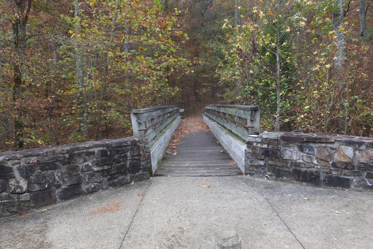
 First bridge leading to I.S. Rec. Area |
 Entrance to Hunt's Loop Trail 34.76181°, 93.07268° (Located at the west end of I.S. Rec. Area) |
 Sign at Hunt's Loop |
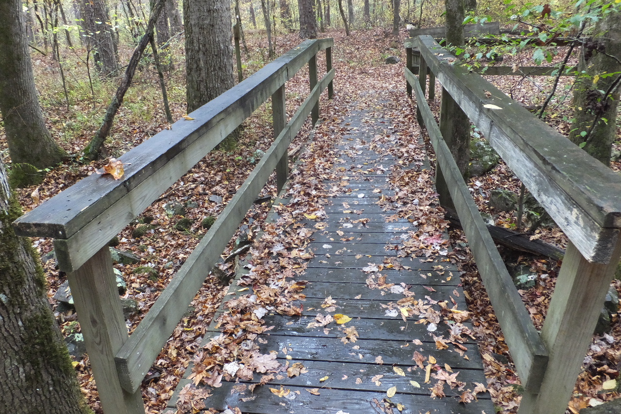
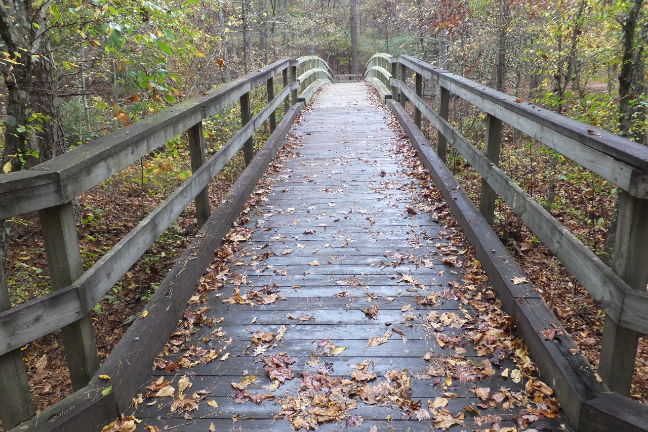 Wood Bridge over Middle Fork of the Saline River |
 West Entrance to Iron Springs Rec. Area |
 One of the Parking Areas at Iron Springs 34.76214°, 93.07123° |
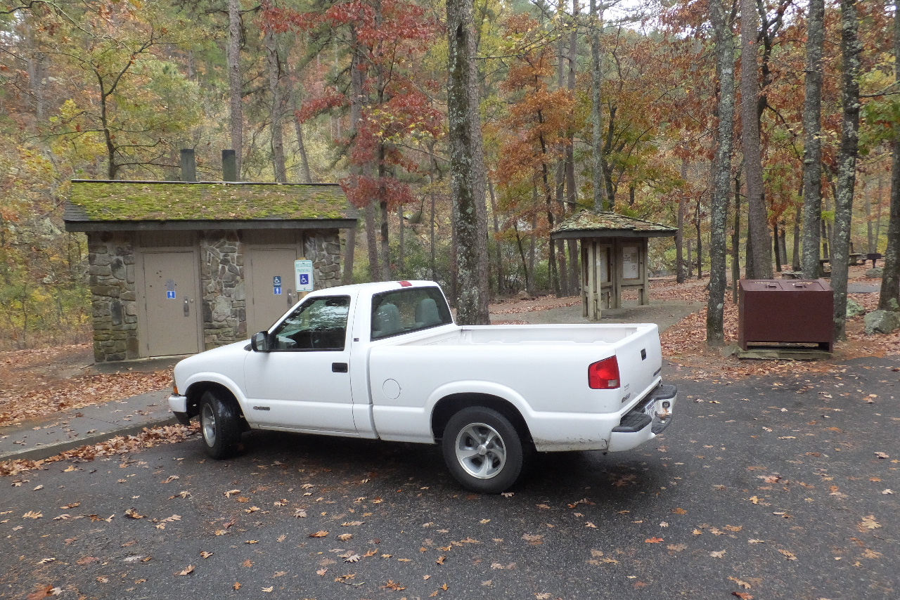
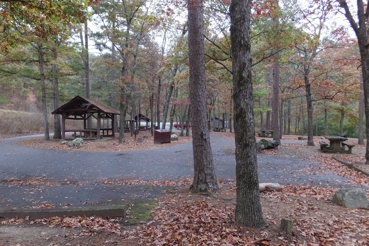 Iron Springs Recreation Area |
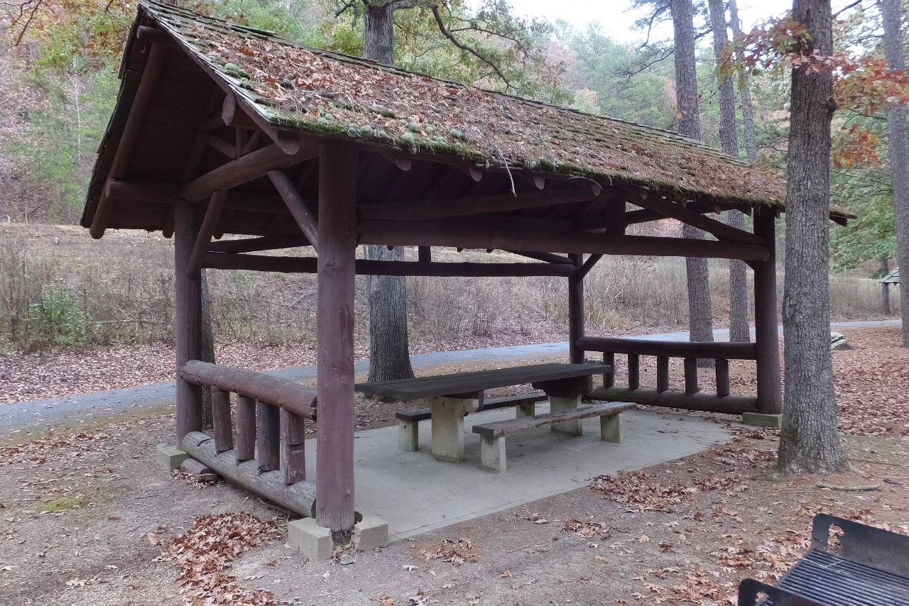 One of three covered picnic tables |
No overnight
camping (flash flood area) 15 Picnic Tables (including 3 covered) Trash Containers Public Water Restrooms Access to Hunt's Loop Trail and the OT |
 |
|
Now back to Hunt's Loop....heading northwest back to the OT Trailhead 34.76149°, 93.07285° |
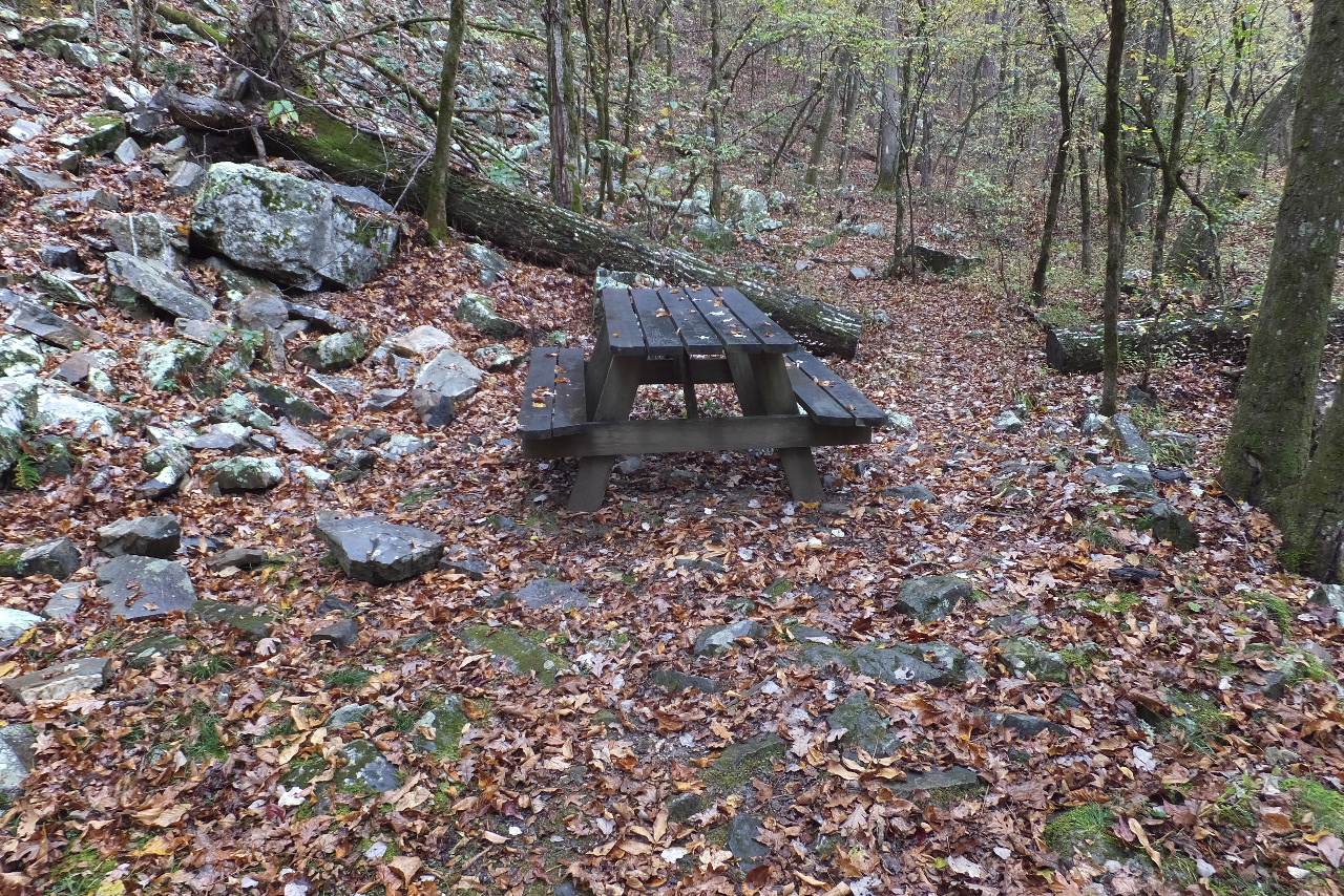 Picnic Table along Hunt's Loop 34.76132°, 93.07338° |
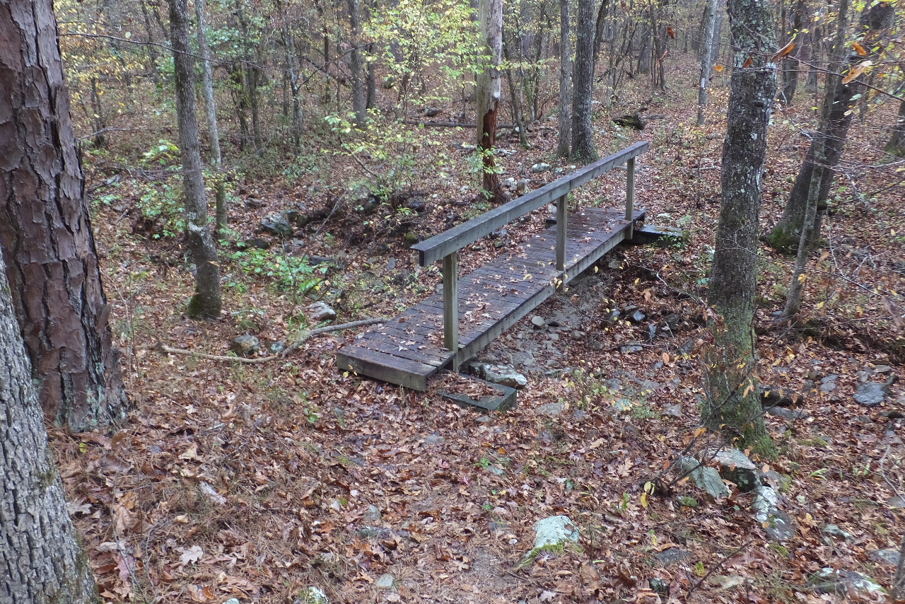 Bridge #1 on Hunt's Loop 34.76278°, 93.07576° |
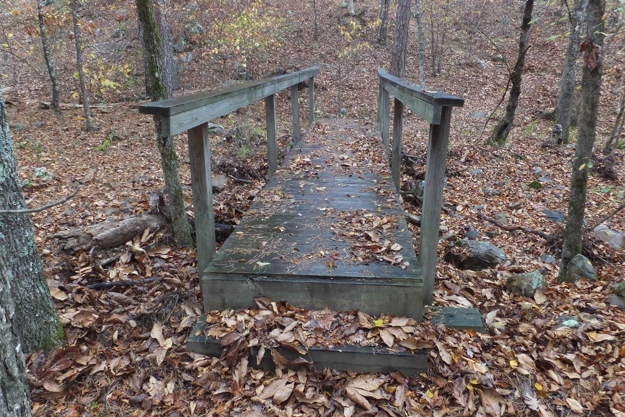 Bridge #2 on Hunt's Loop 34.77085°, 93.08243° |
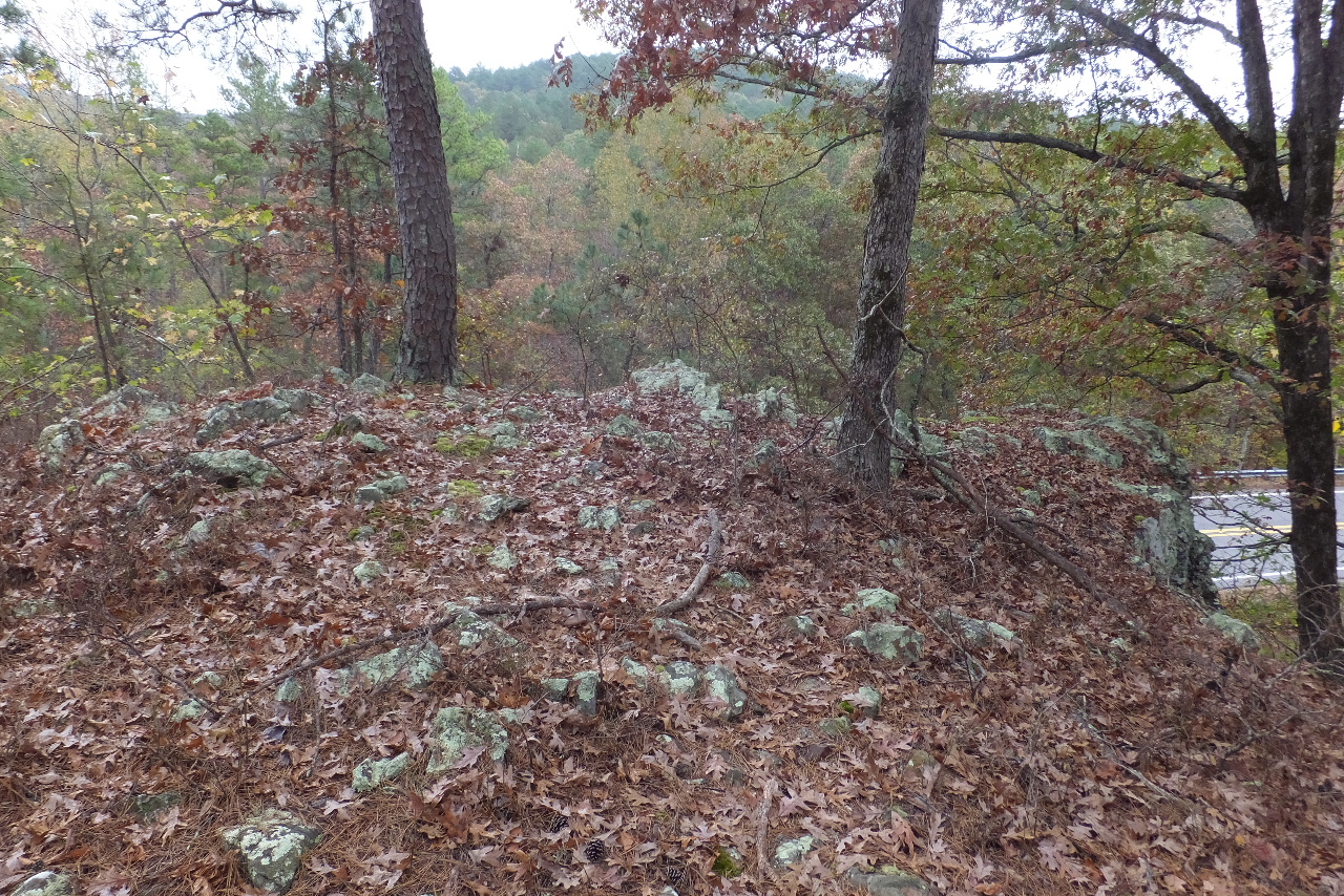 Vista overlooking Hwy. 7 34.77354°, 93.08490° |
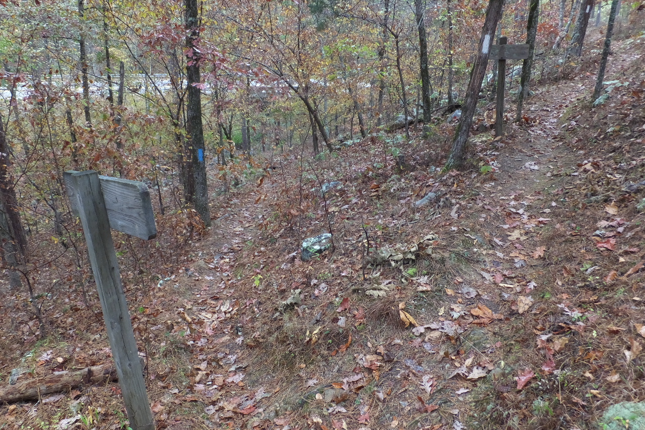 Intersection of the OT with Hunt's Loop Access Point "D" 34.77358°, 93.08544° |
 South end of WC accessible trail 34.77354°, 93.08741° |
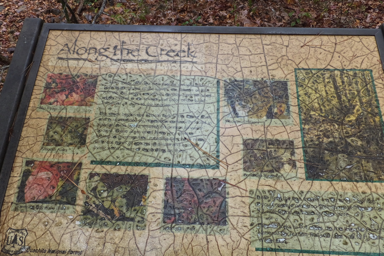 |
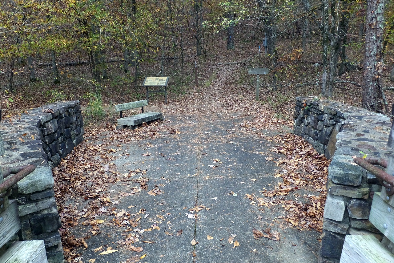
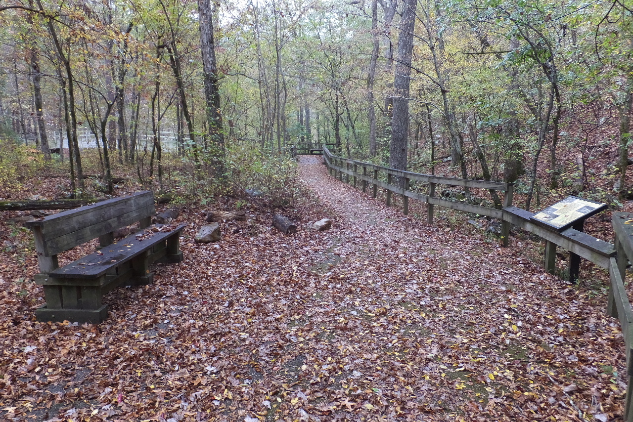
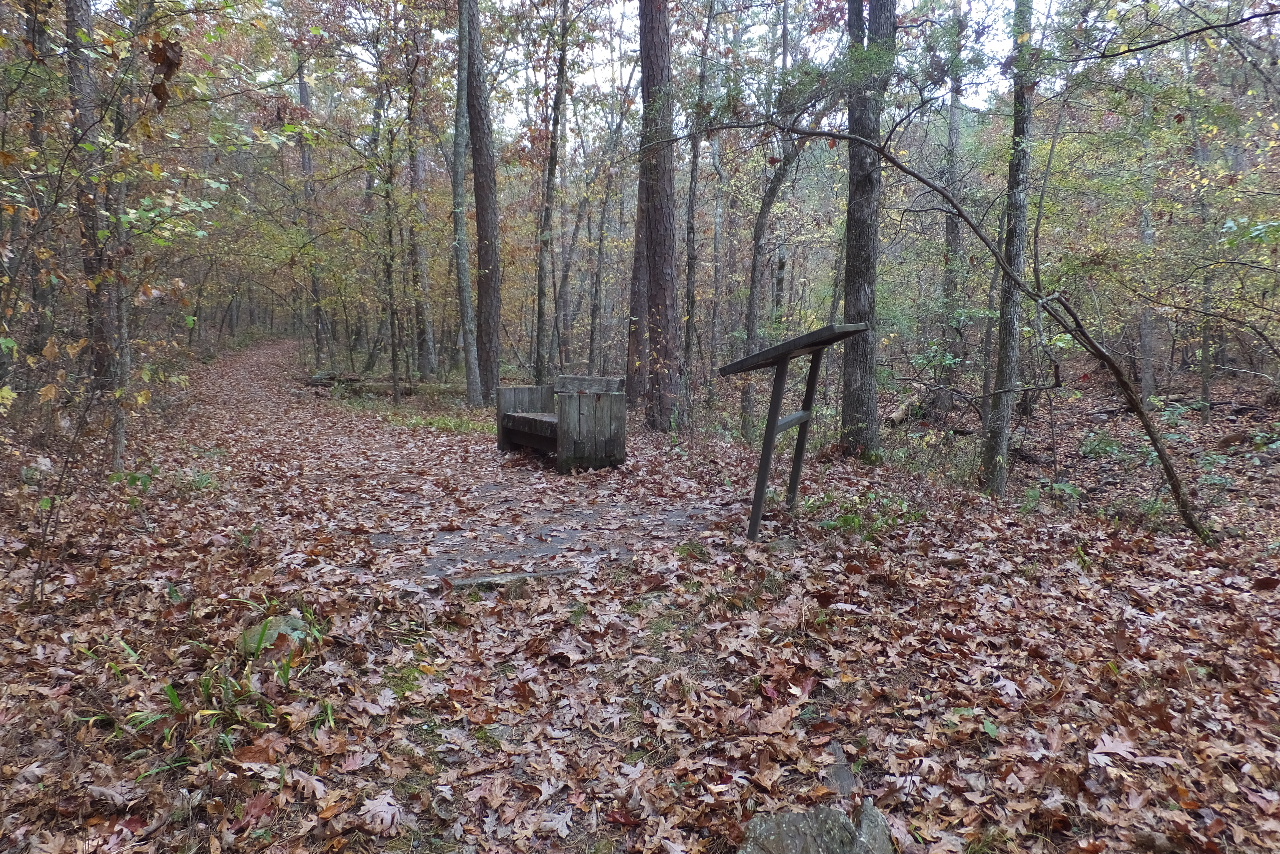
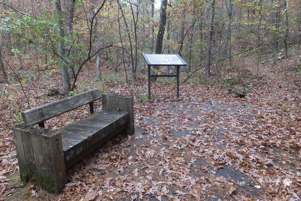 Sign and Bench |
.JPG) Arriving back at the OT Trailhead and Parking Area |