.jpg) Parking Area #3 35.73236°, 93.24674° (2.50miles east from FR 1002, JC 5881) Access Point "H" 35.72497°, 93.24003°; Access Point "I" 35.72096°, 93.23352° |
| TAKAHIK River Valley Hikers |
| Home Scheduled Hikes Pictures Videos Membership Links Trails & Waterfalls Mushrooms Products In Memory Of |
| HURRICANE CREEK NATURAL BRIDGE |
|
 Parking Area #1 34.67790°, 93.23812° |
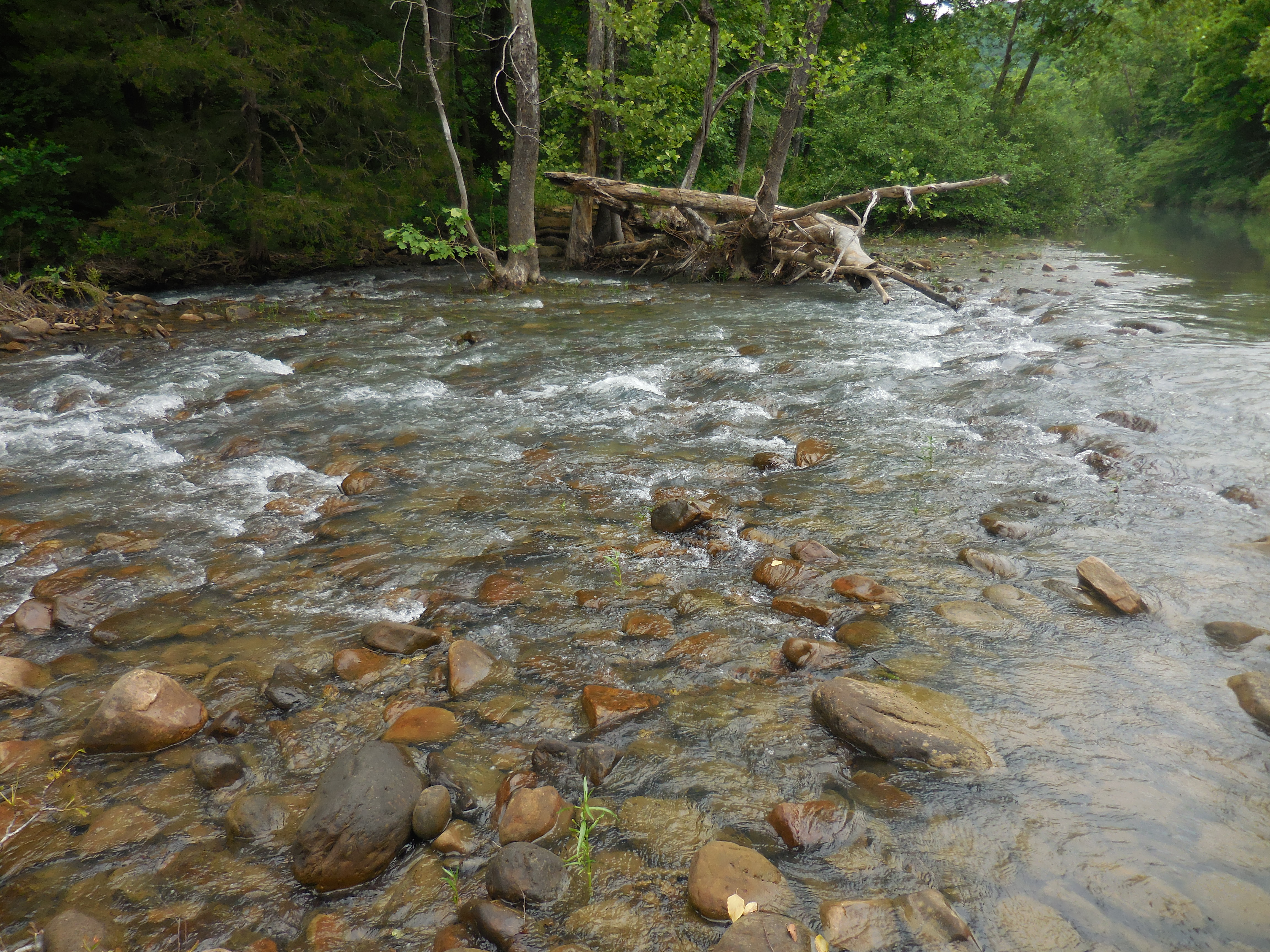
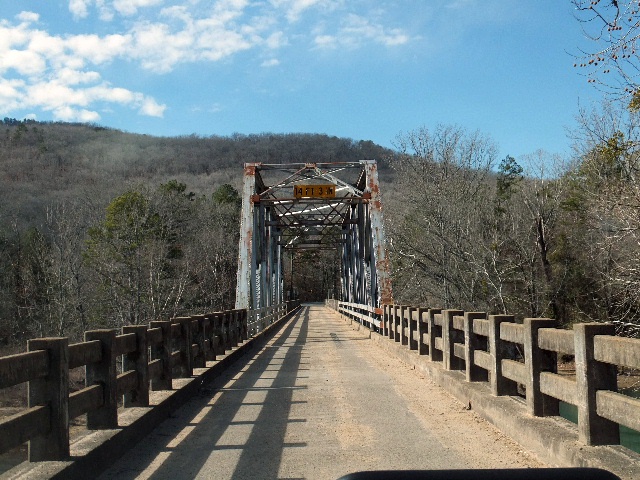 Big Piney Creek Bridge |
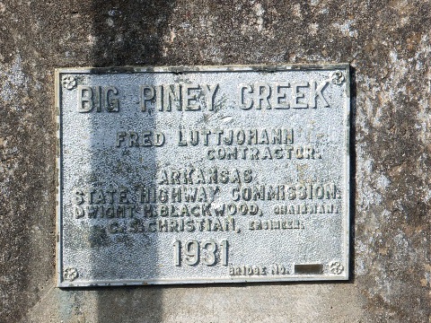 Built in 1931 |
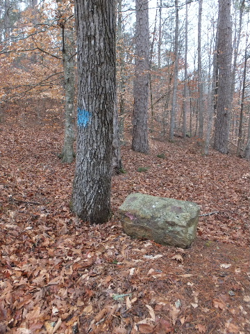
 Access Point "A" OHT 35.67933°, 93.23613° |
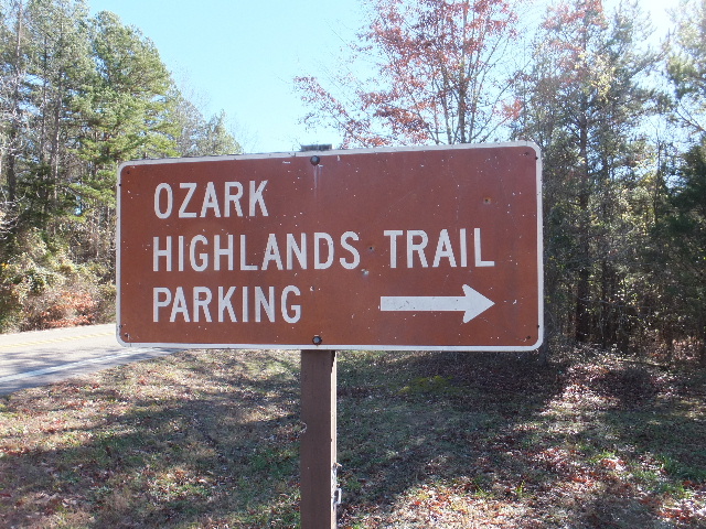
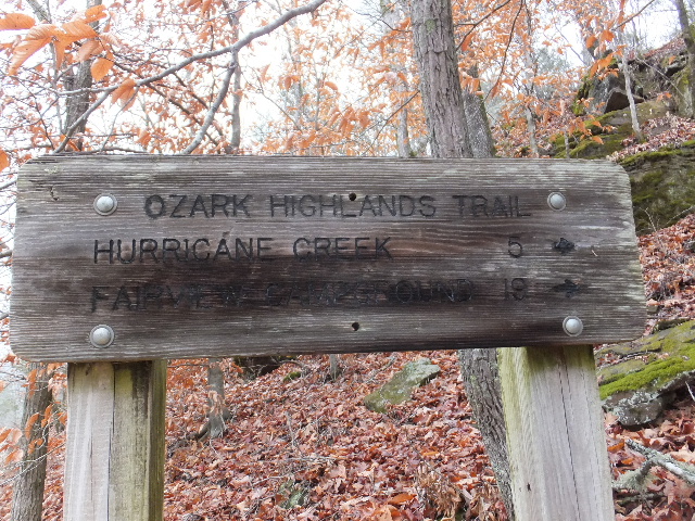 OHT Trailhead off of FR 1002 |
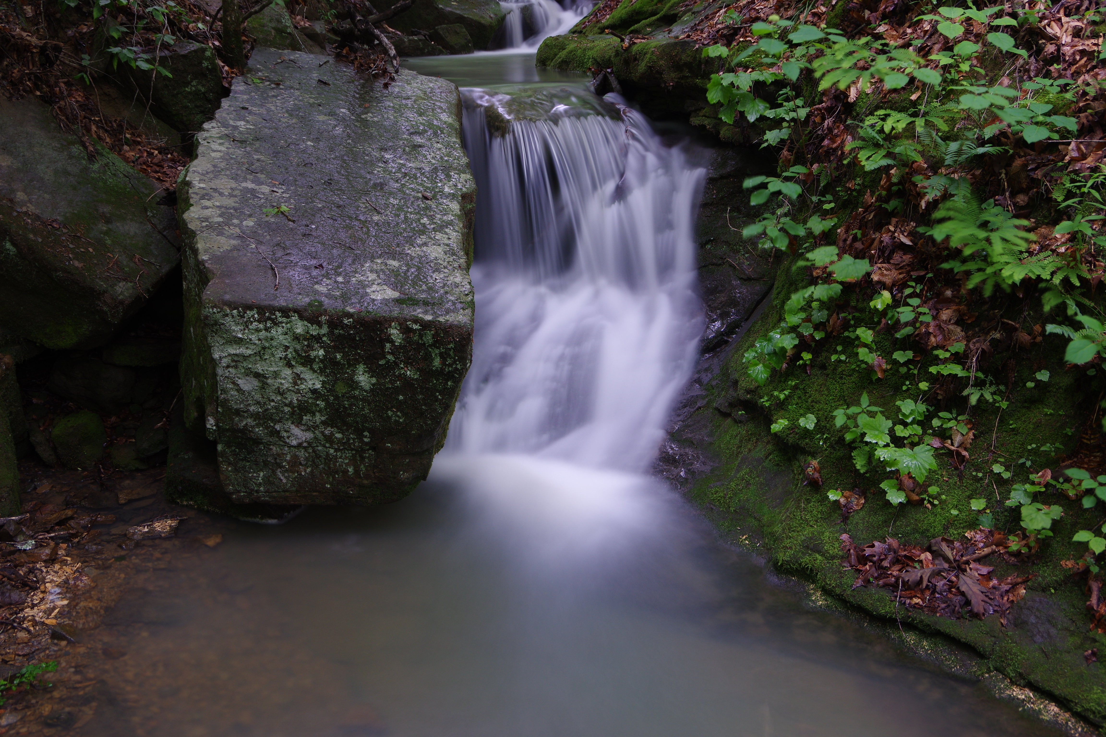
 WF #1 35.68727°, 93.23757° |
 WF #1a 35.68720°, 93.23665° |
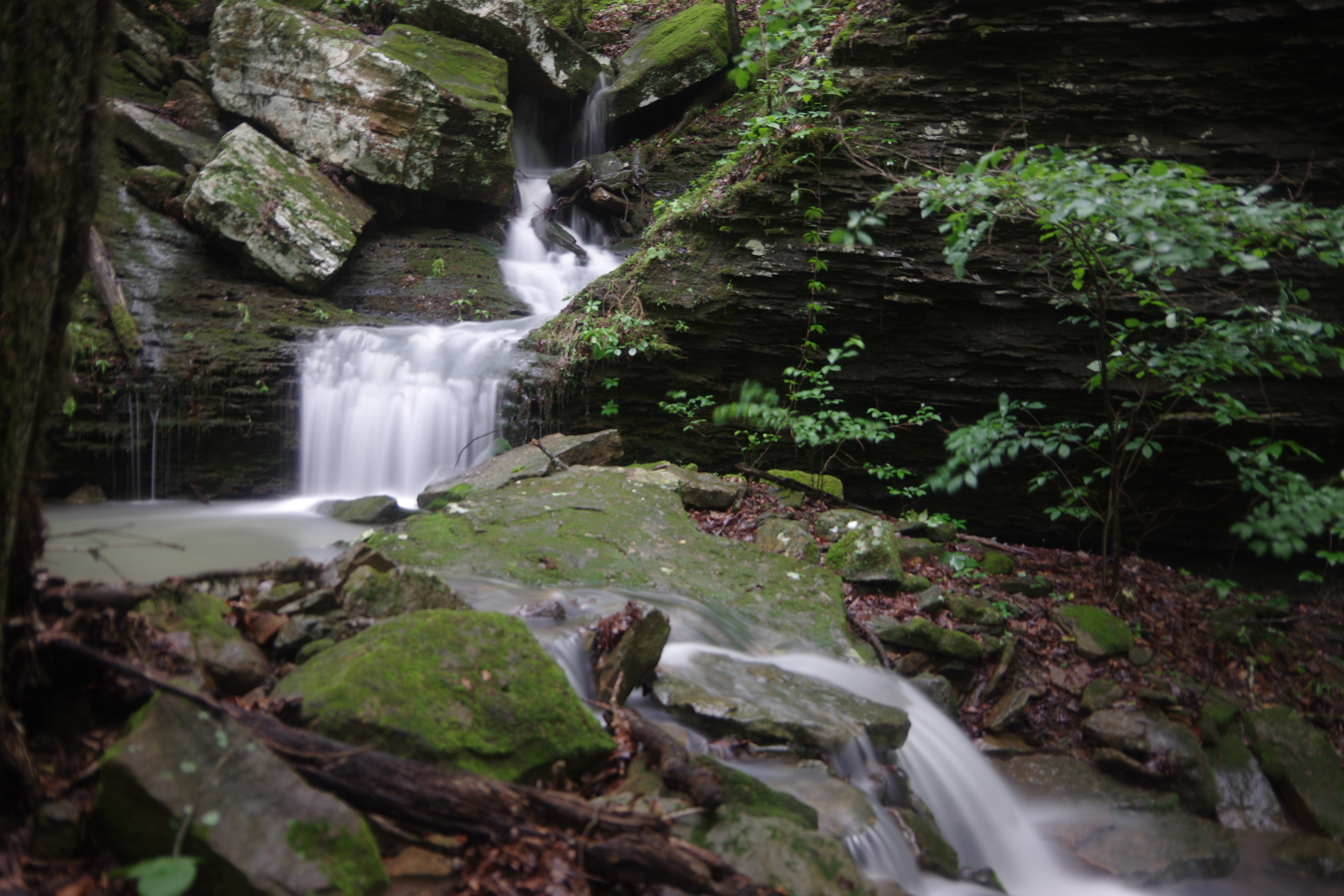
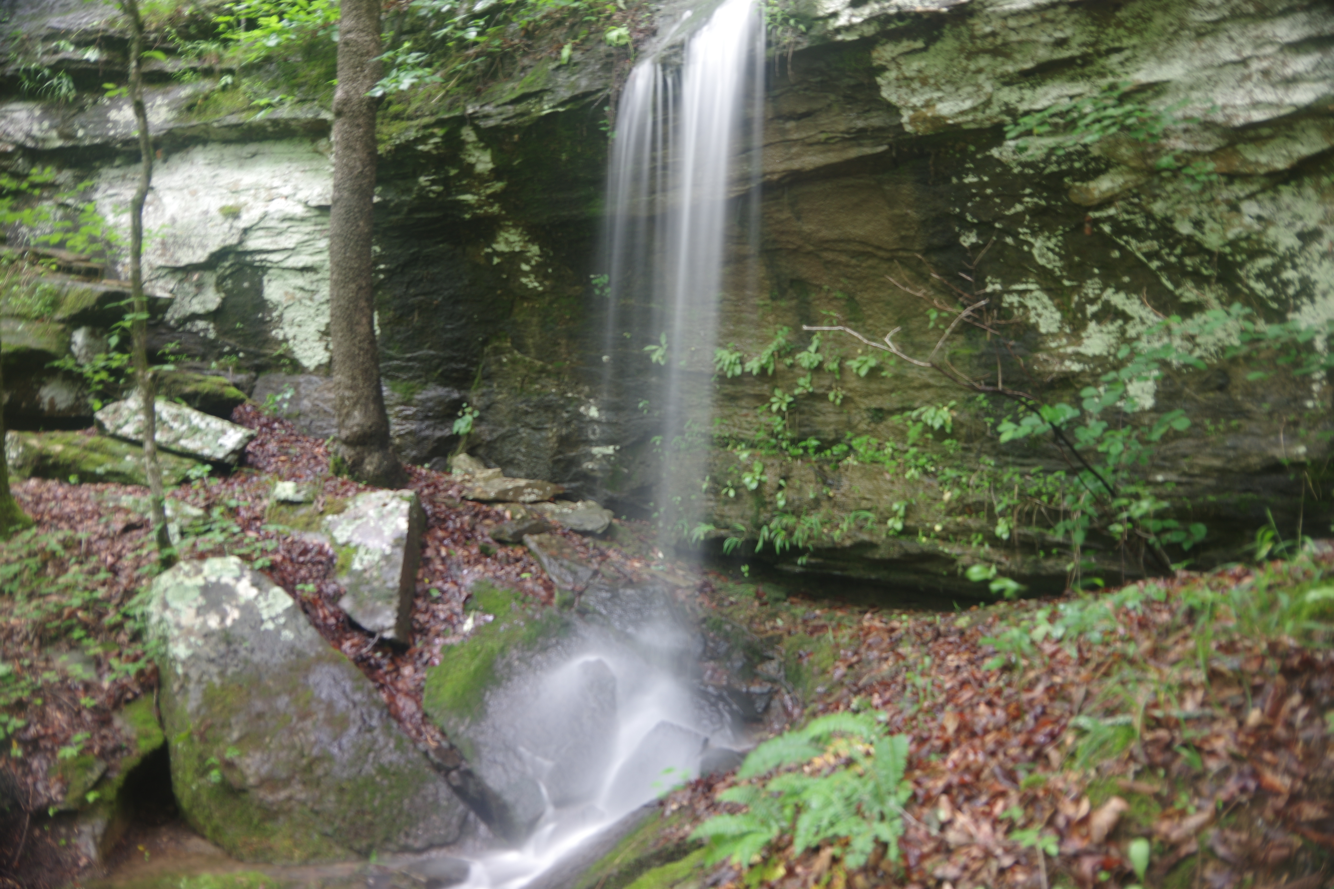
 WF #2 35.694696, 93.23890° |
 WF 2a 35.69484°, 93.23861° |
 WF #3 35.69570°, 93.23610° |
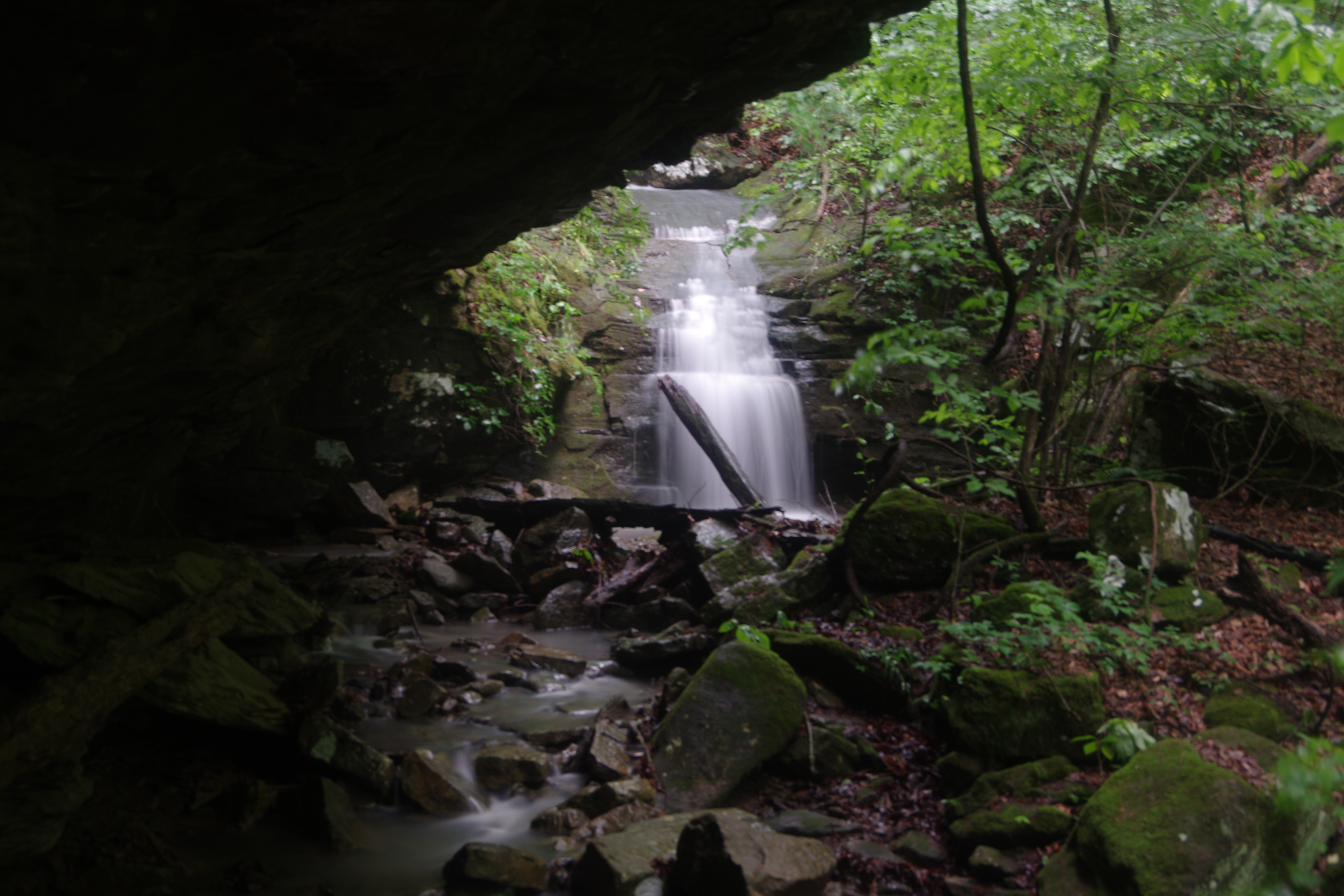
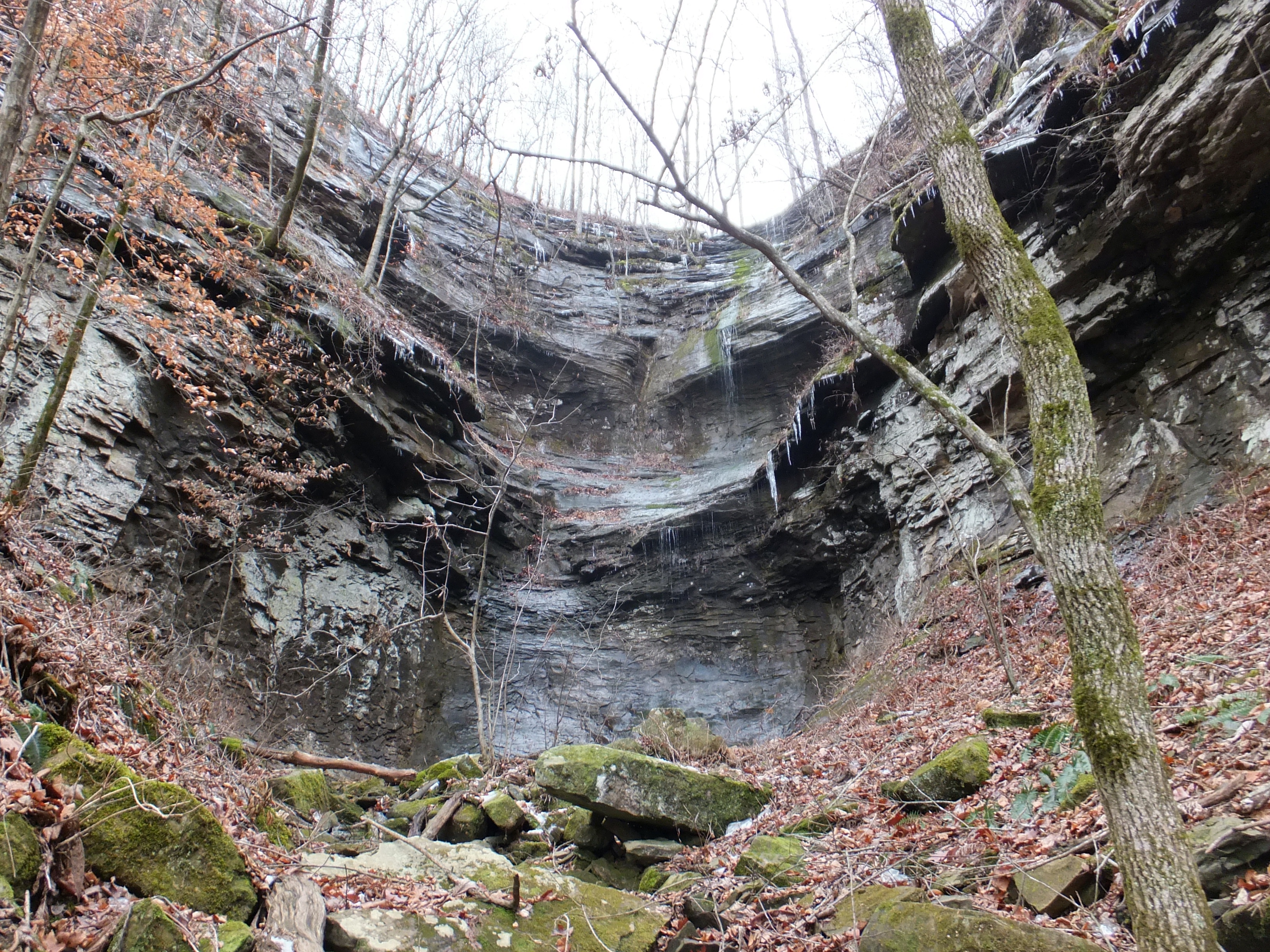
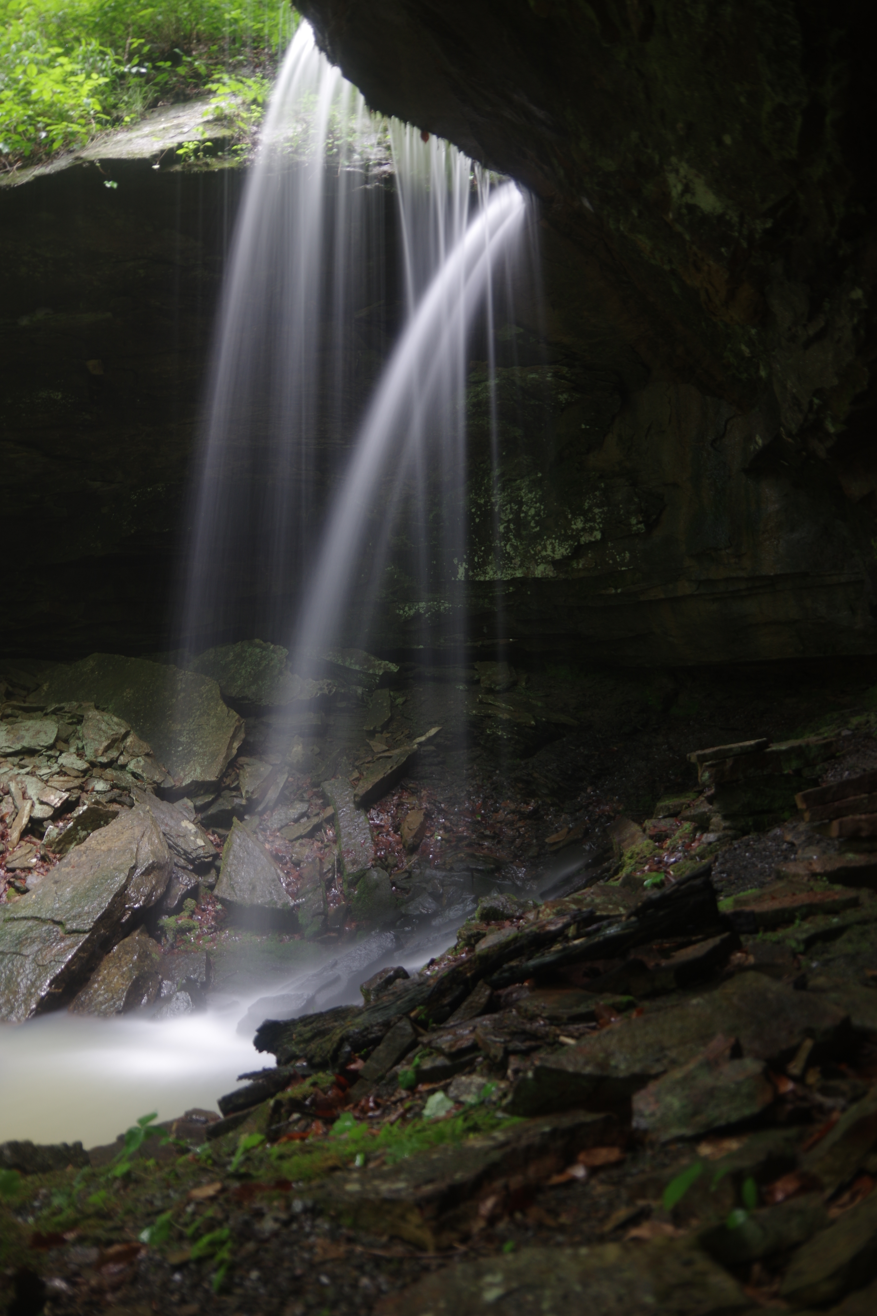 WF #4 High Slot Falls 35.69410°, 93.23505° |
 Parking Area #2 35.69990°, 93.24106° |
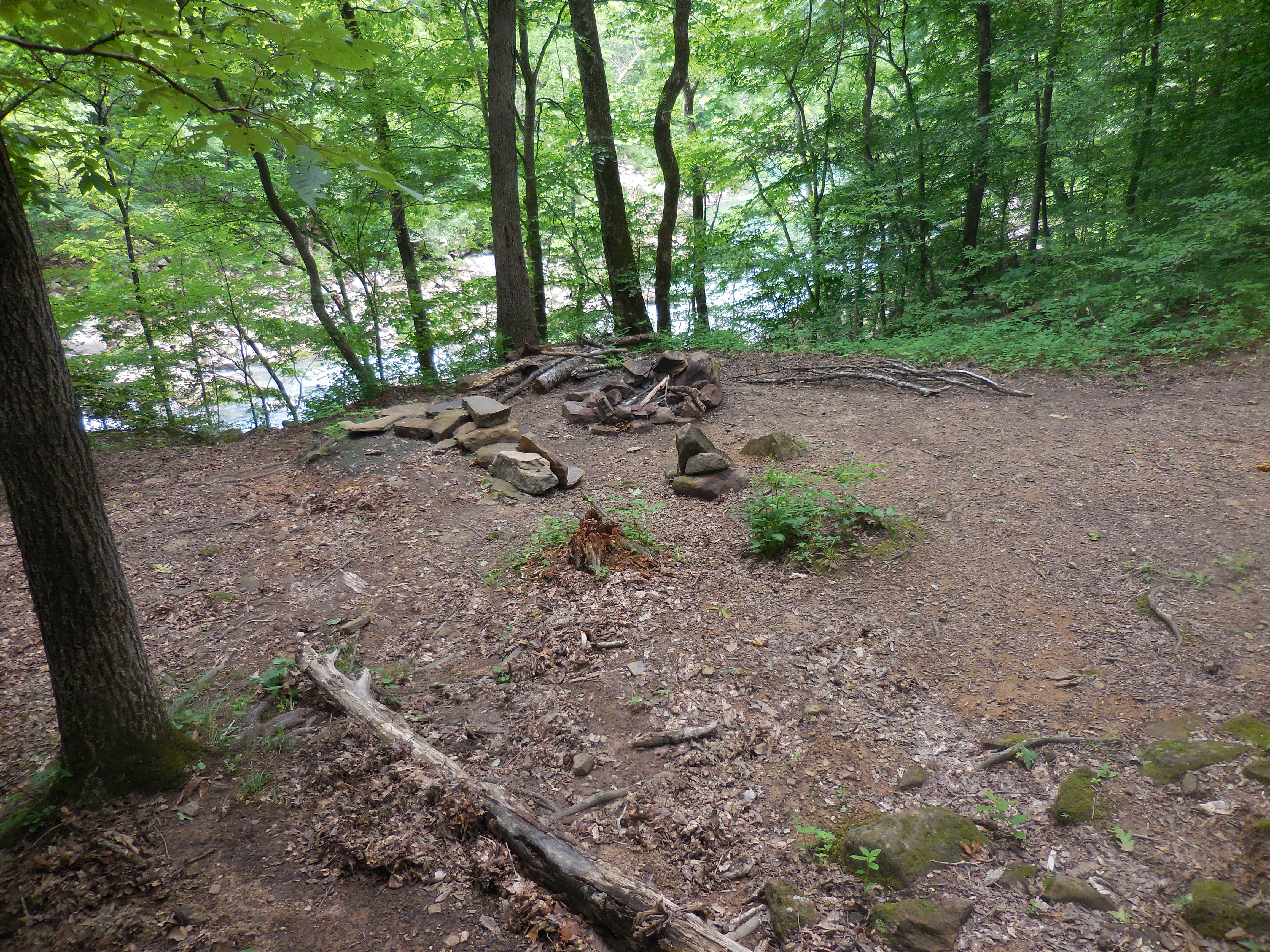
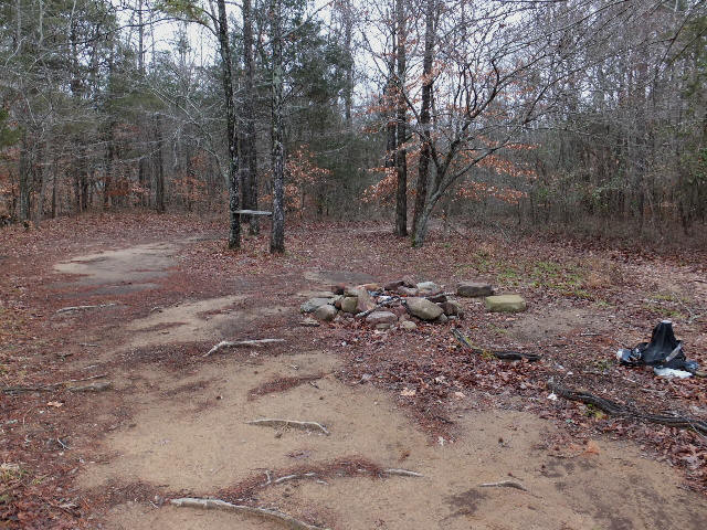 Primitive Campsite |
 Access Point "B" 35.70412°, 93.23503° |
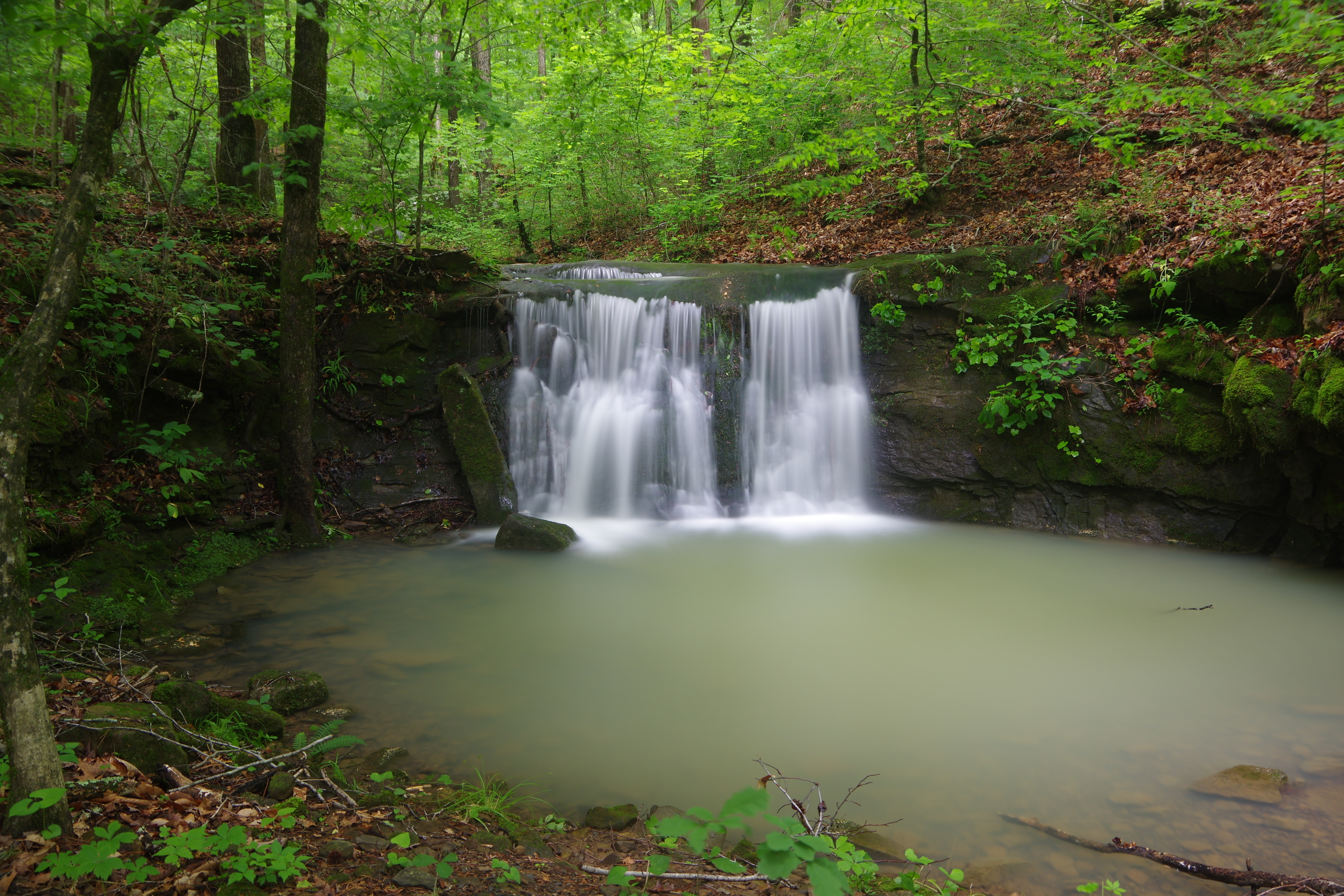
 WF #5 35.70272°, 93.23317° |
.JPG) WF #6 35.70442°, 93.22477° |
 WF #7 35.70328°, 93.22418° |
 Access Point "C" Wilderness Boundary 35.70834°, 93.22725° |
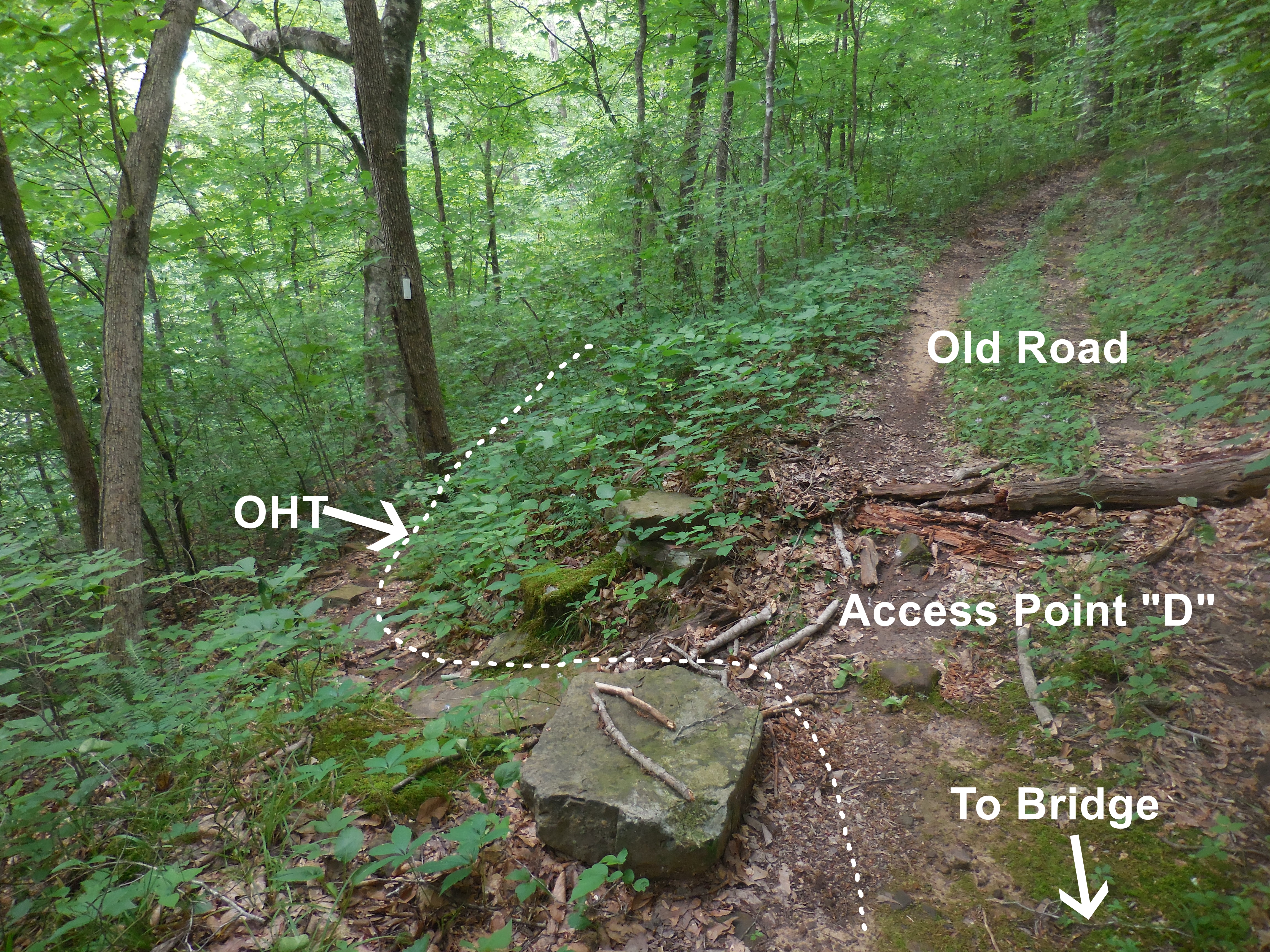 Access Point "D" OHT 35.71645°, 93.22615° |
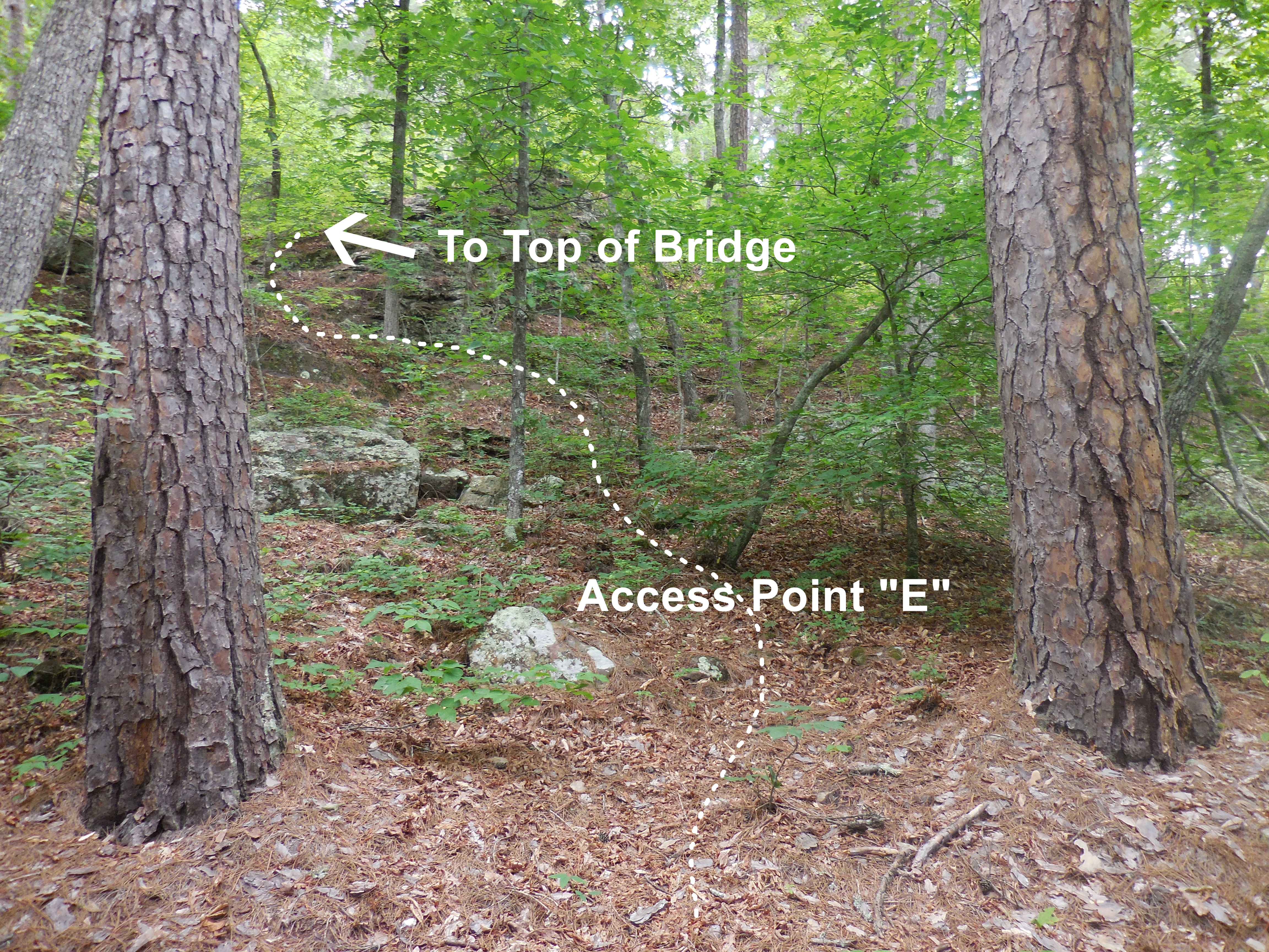 Access Point "E 35.71695°, 93.22574° |
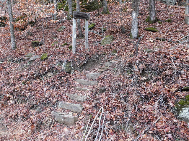
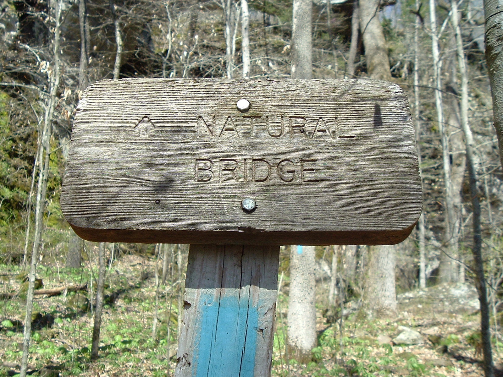 Sign below the Natural Bridge |
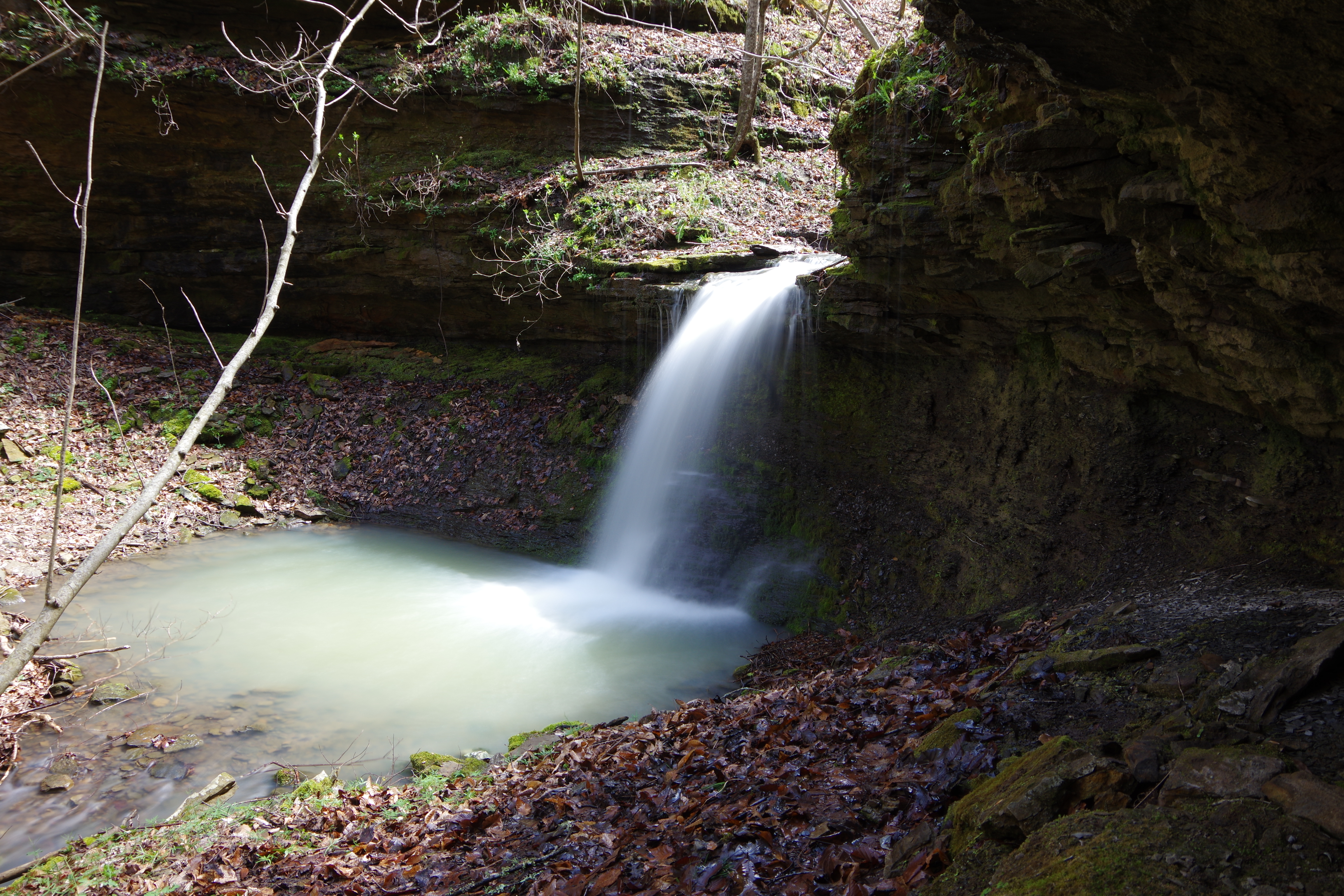
.JPG) Hurricane Creek Natural Bridge 35.71897°, 93.22392° |
||
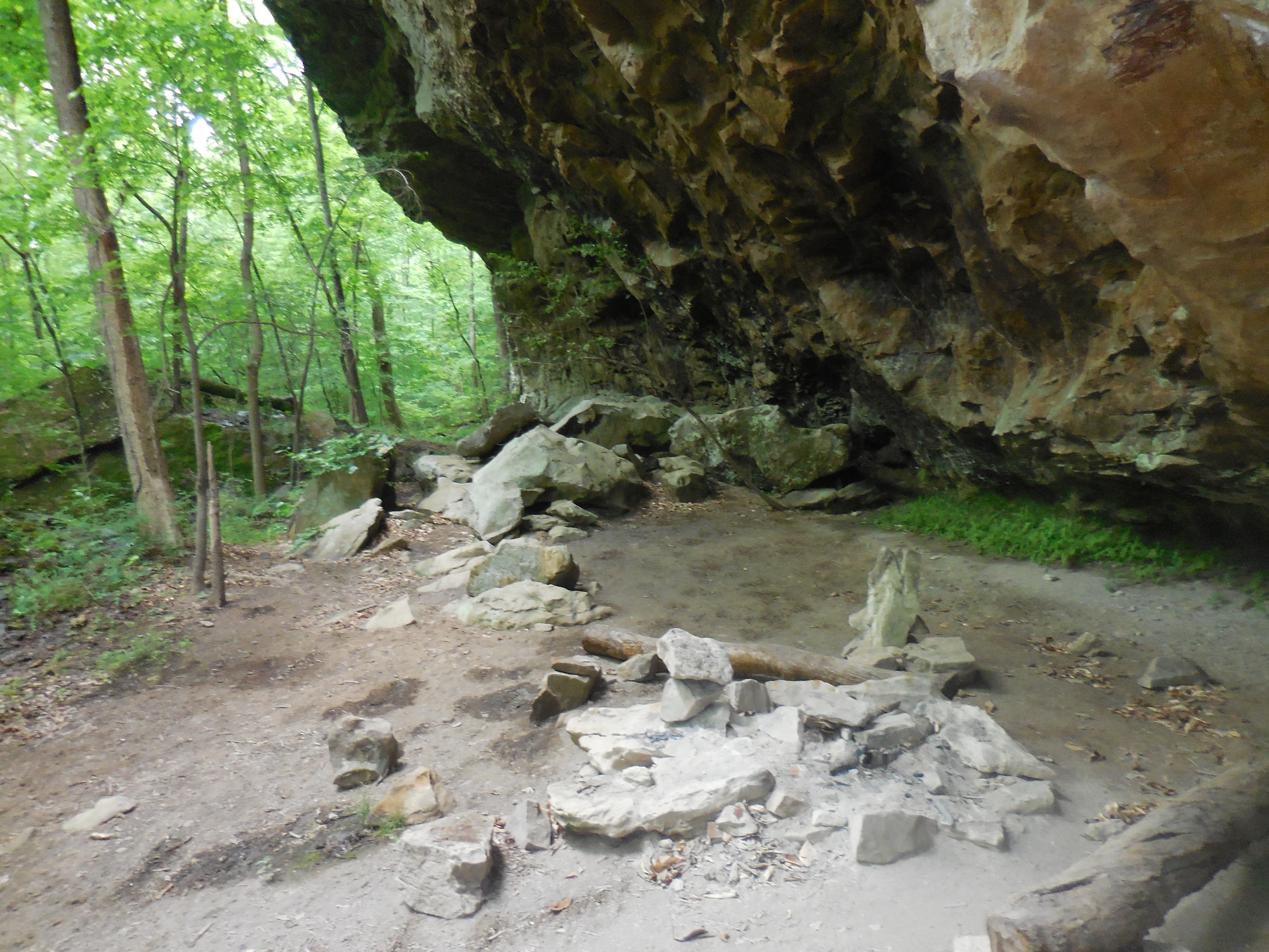 Campsite under bluff below N.B. |
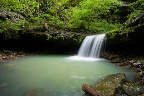 WF #8 (Pic by John Moore) 35.72143°, 93.22310° |
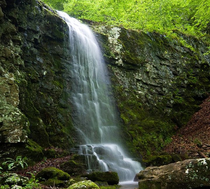 WF #9 (Pic by John Moore) 35.72267°, 93.22442° |
 Access Point "G" OHT 35.71404°, 93.21188° |
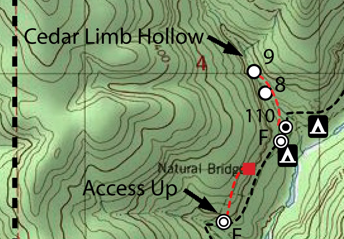 Access Point "F" 35.71996°, 93.22244° |
 Campsite at Access Point "F" |