| TAKAHIK River Valley Hikers |
| Home Scheduled Hikes Pictures Videos Membership Links Trails & Waterfalls Mushrooms Products In Memory Of |
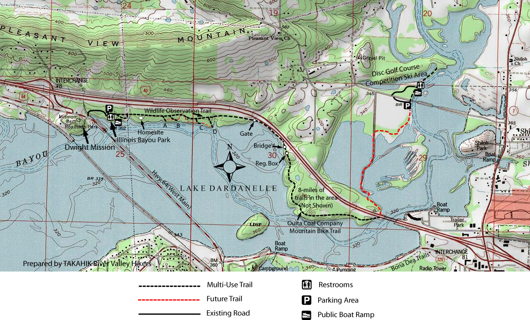
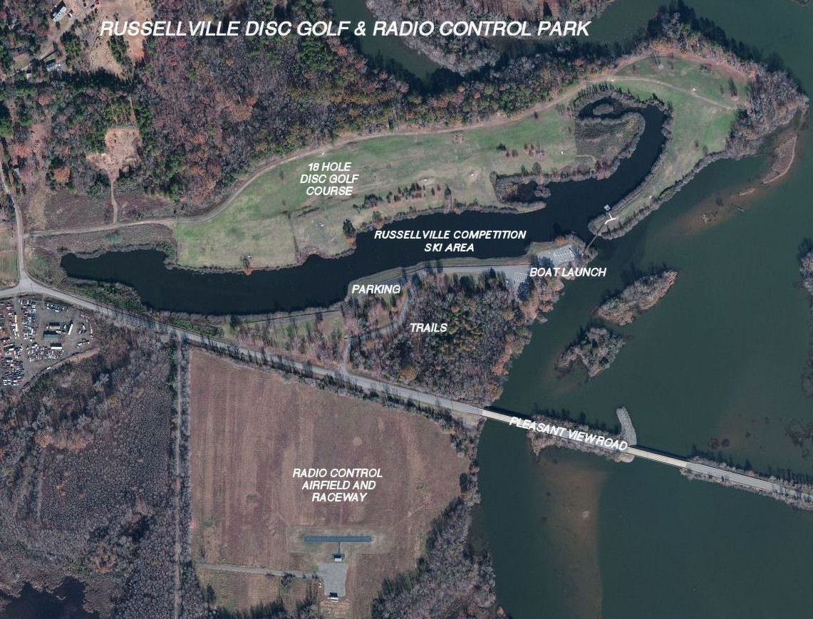
| ILLINOIS BAYOU PARK TRAIL SYSTEM & DISC
GOLF/COMPETITION SKI AREA OUITA COAL COMPANY MT. BIKE TRAIL & ORBIT LANE TRAIL |
.JPG) |
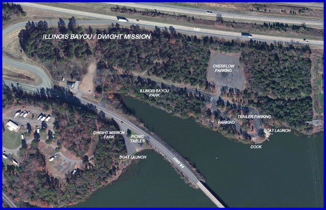 Arial View of Illinois Bayou & Dwight Mission |
 |
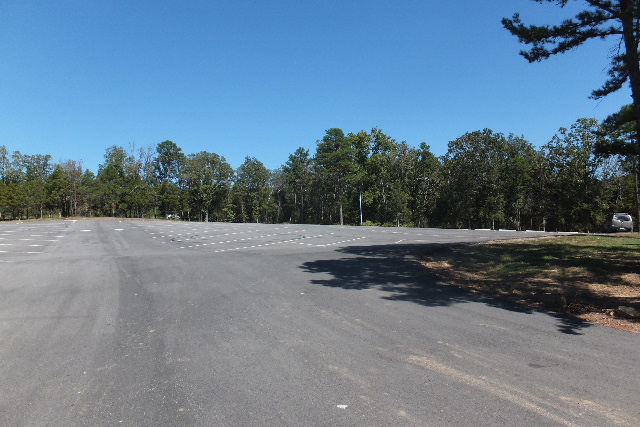 Parking Area |
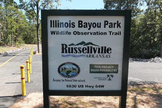
 Entrance to Trail |
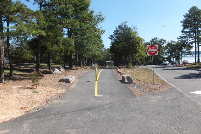
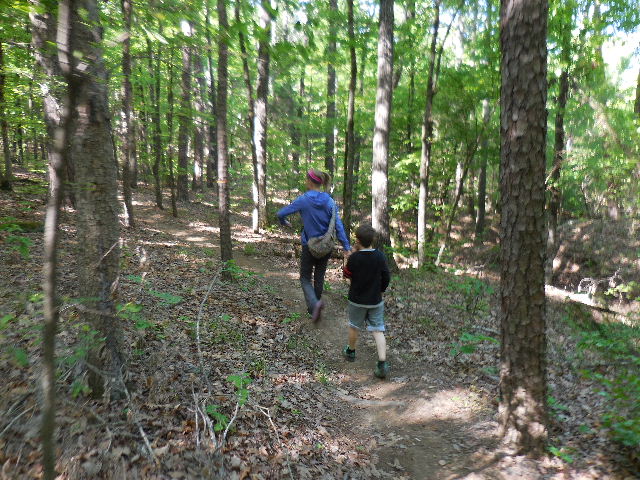
 Beginning of Trail 35.31943°, 93.18397° |
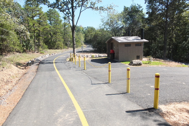
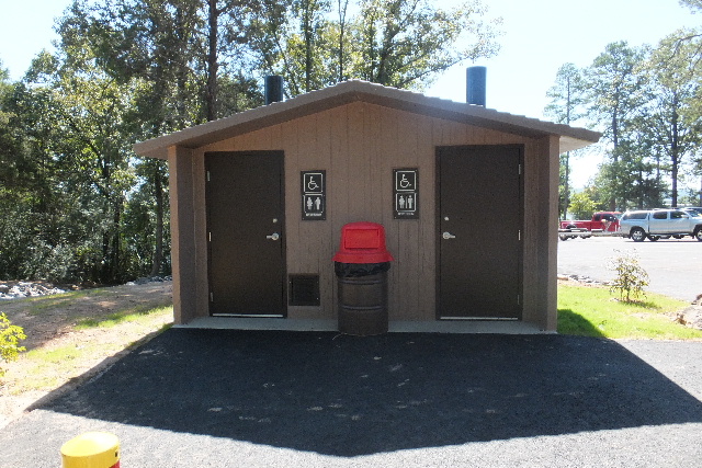 Restrooms |
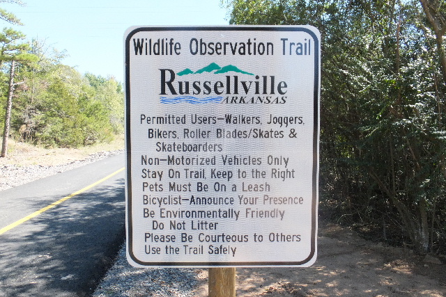 Wildlife Observation Trail (Official Name) |
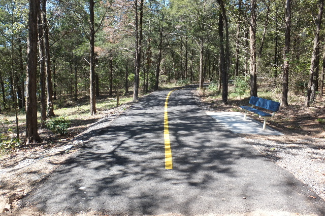
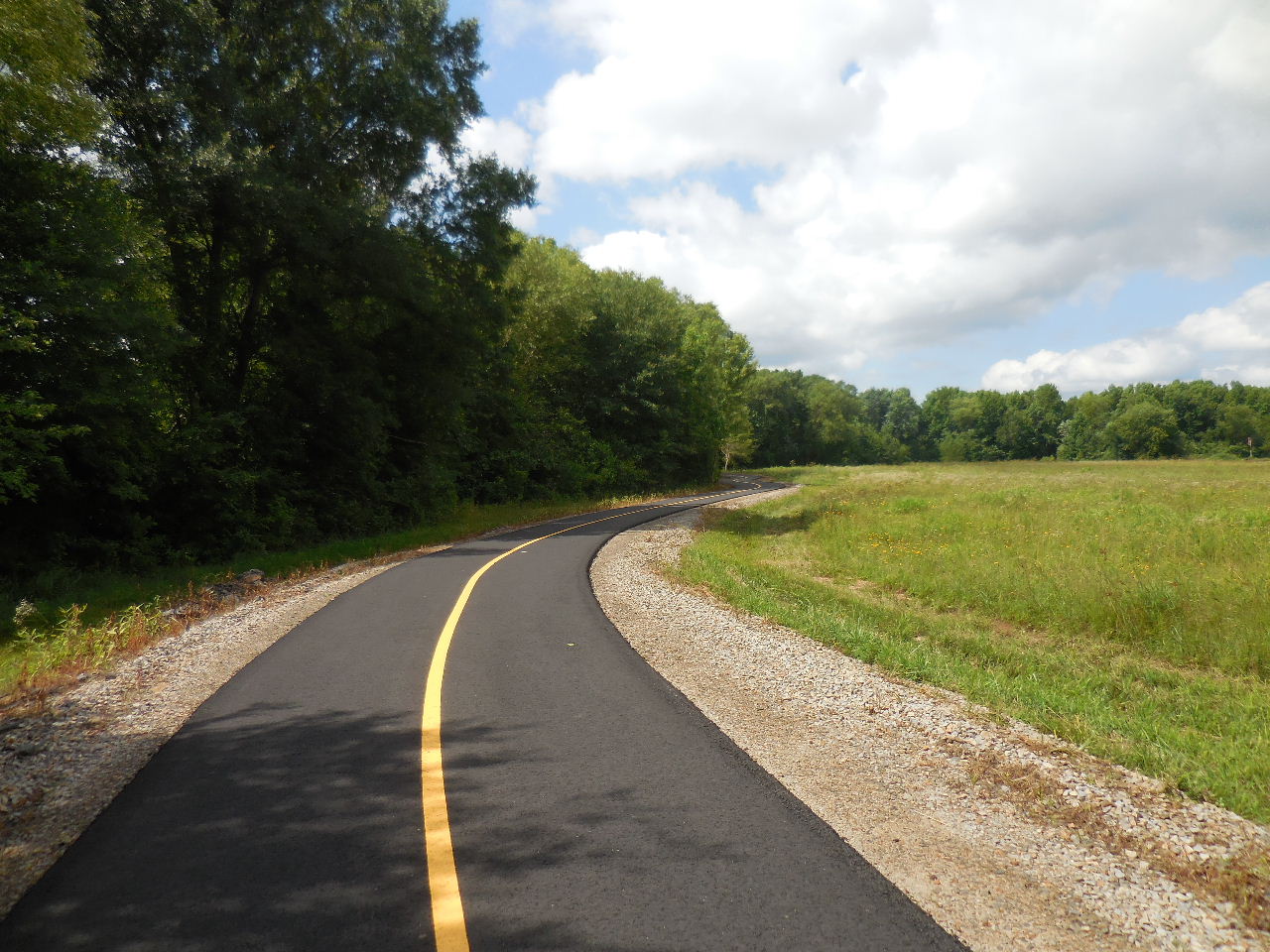
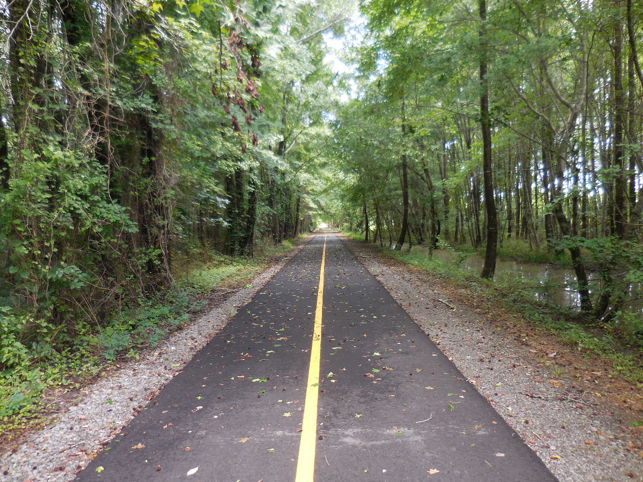
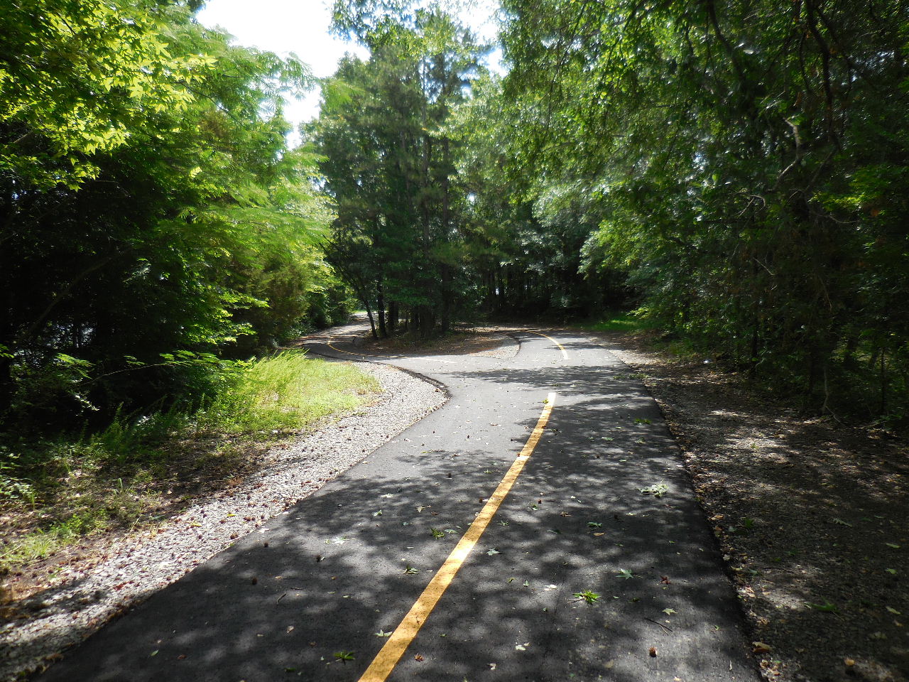
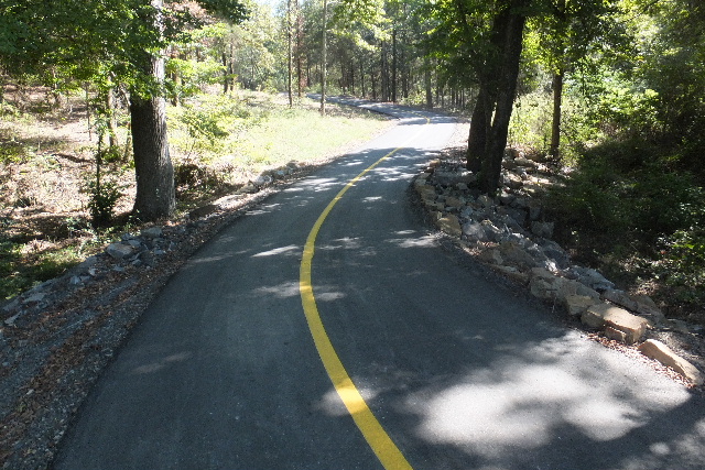 Paved Trail System |
-horz.jpg)
-horz.jpg)
Some of the Wildlife Observations Signs along the Trail (above)
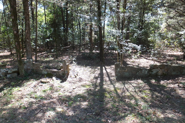 Old House Foundation 35.31968°, 93.18080° |
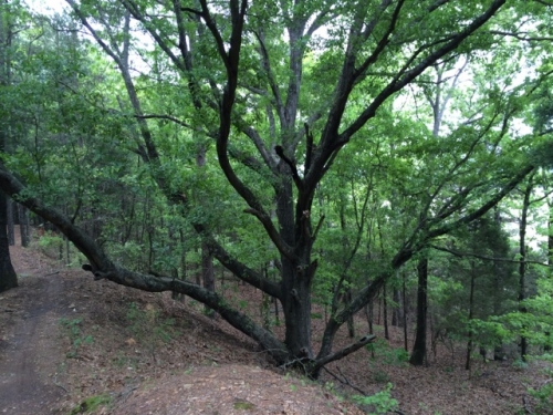
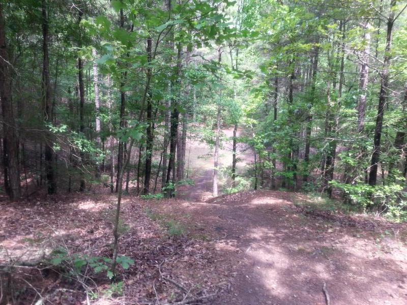
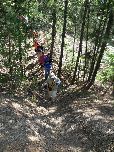
 Typical Spur Trail |
 End of Trail 35.31937°, 93.17249° |
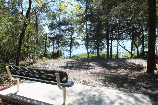
 Area "A" |
 Area "B" |
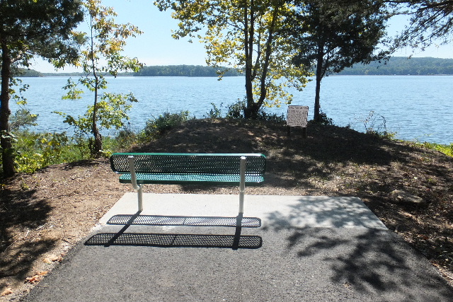
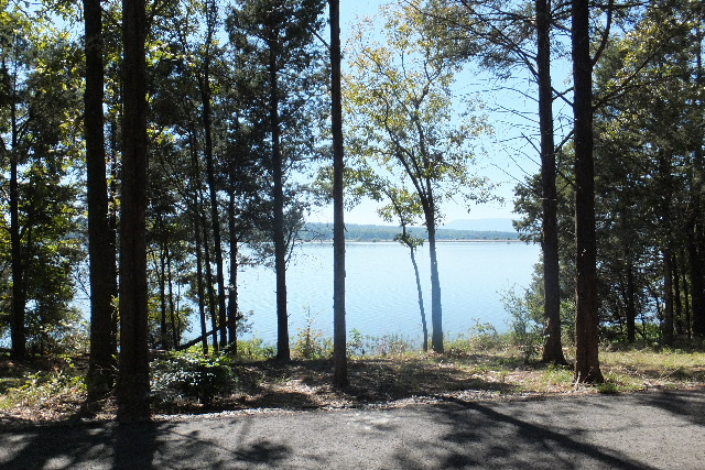 View of Lake from Area "B" |
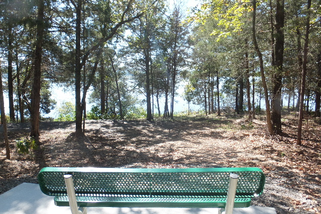
 Area "C" |
 Area "D" 35.31826°, 93.17190° |
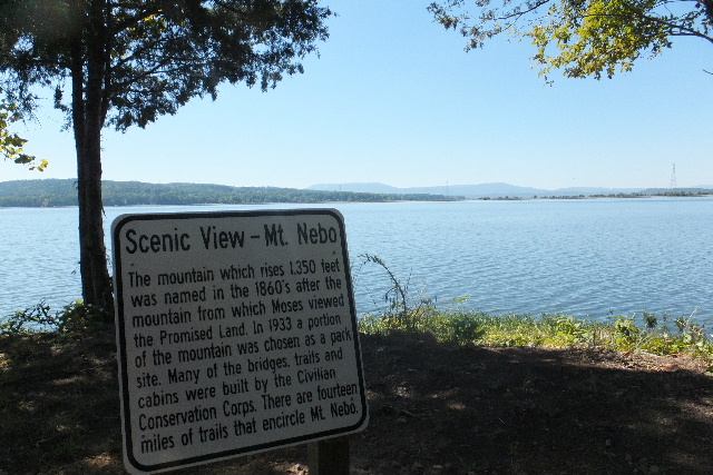 View From Area "D" |
.JPG) The following pictures are of the Ouita Coal Company Mountain Bike Trail Trail dedicated on June 30, 2015 |
 End of Wildlife Observation Trail Beginning of Ouita Coal Company Mountain Bike Trail 35.31937°, 93.17249° |
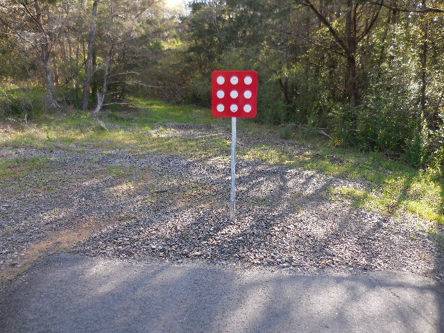
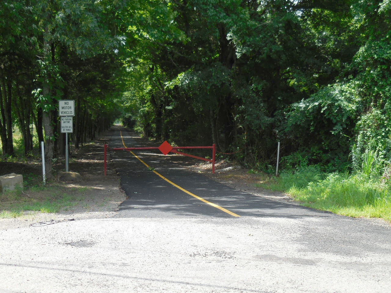
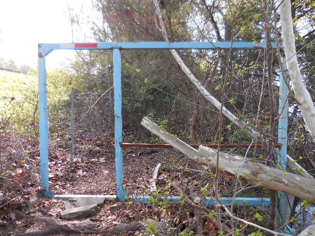 Gate to stop larger vehicles such as ATV's, etc. 35.31892°, 93.16665° |
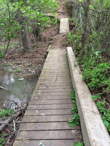 Wood access bridge. 35.31637°, 93.16301° |
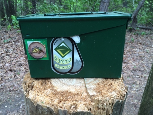
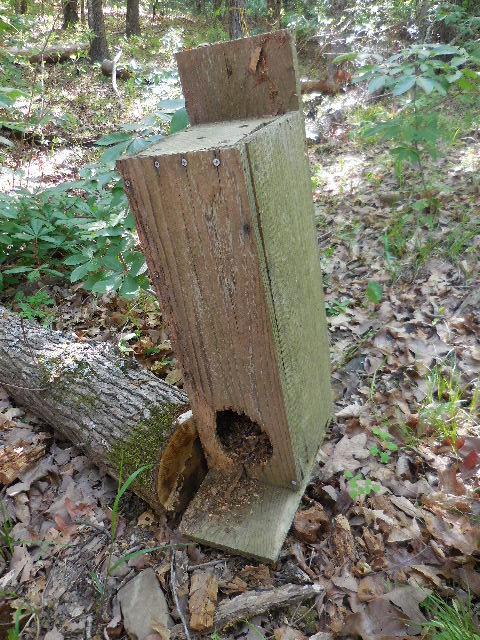
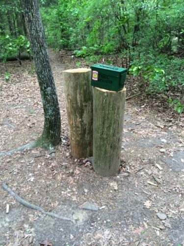 Bike trail register box. |
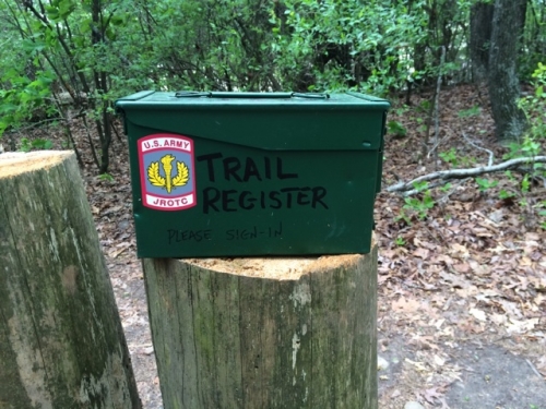 Sign-in book and pen inside. 35.31582°, 93.16287° |
 |
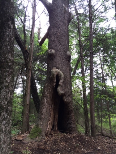 |
 Climbing Tree 35.30933°, 93.15883° |
 |
 |
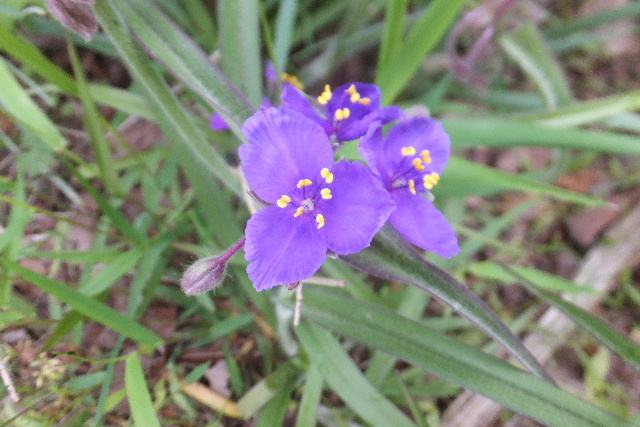 Spiderwort |
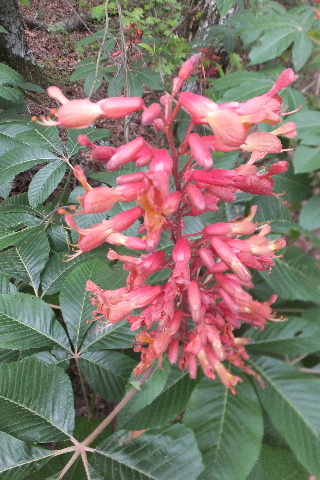 Buckeye |
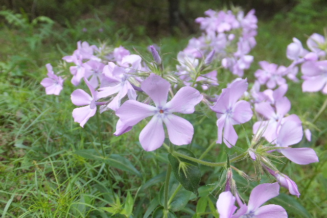 Phlox |
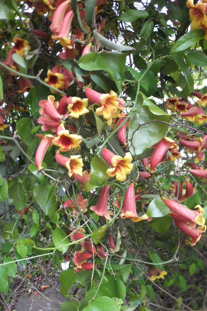 Honeysuckle |
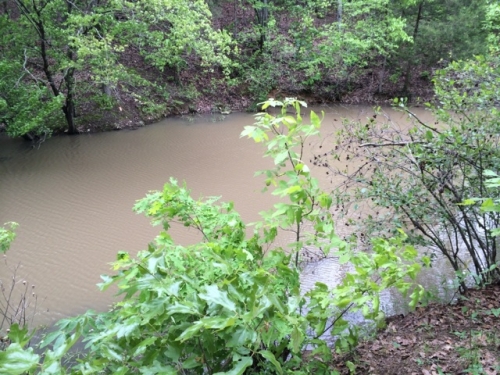 Pond |
 |
 |
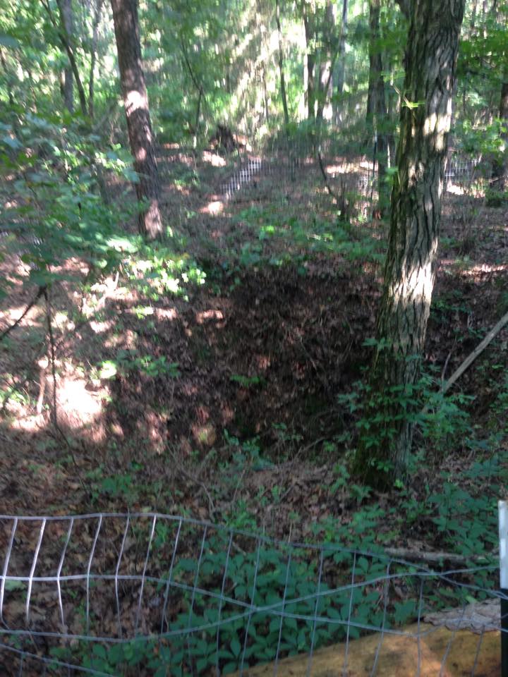 Abandoned Mine Shaft 35.31083°, 93.16057° |
 |
 |
 |
Trail to Competition Ski, Radio Control Airfield and Disc Golf Area
 New parking area south of Pleasant View Road and bridge 35.32068°, 93.14762° |
 Start of Trail |
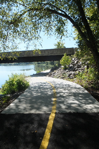
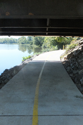 Trail under bridge |
 Looking south |
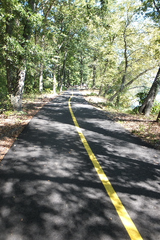 Trail heading north |
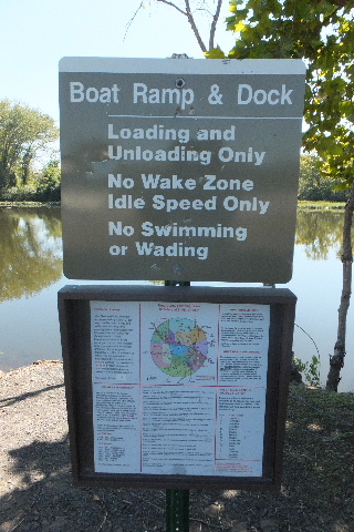
 Arriving at boat launch area |
 |
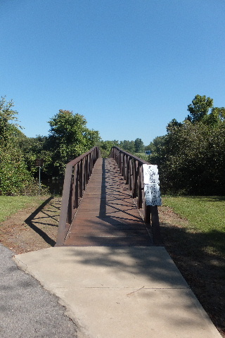 South end of foot bridge |
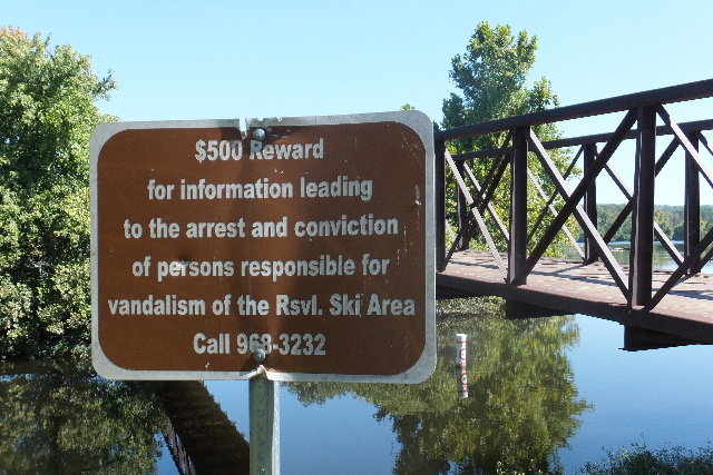 |
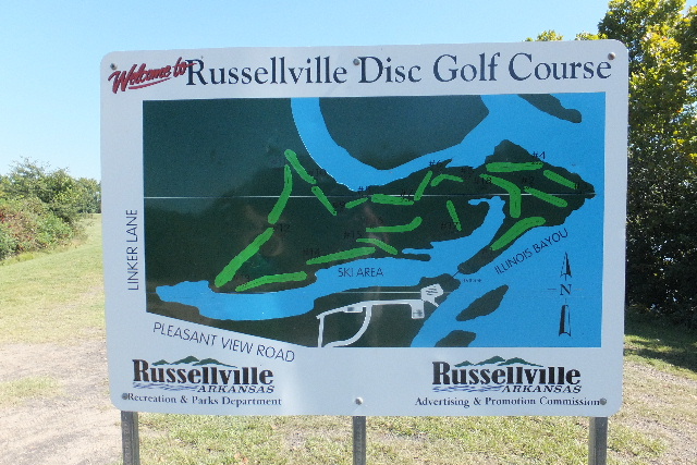 Entrance to Disc Golf |
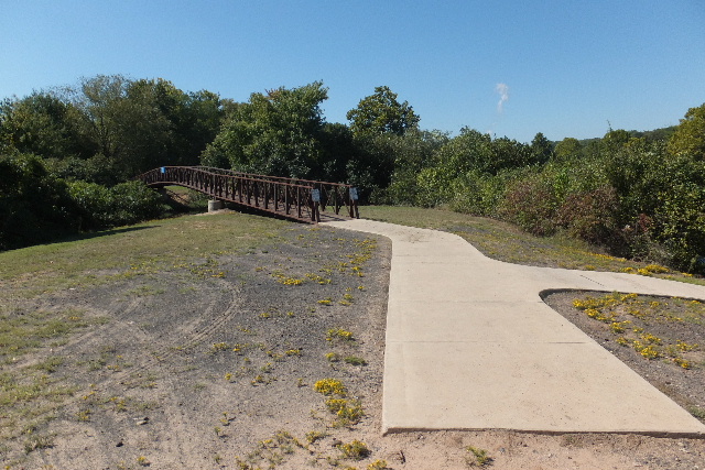 Looking back at foot bridge |
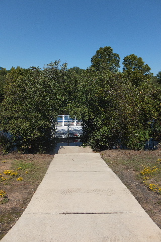 Down to boat dock |
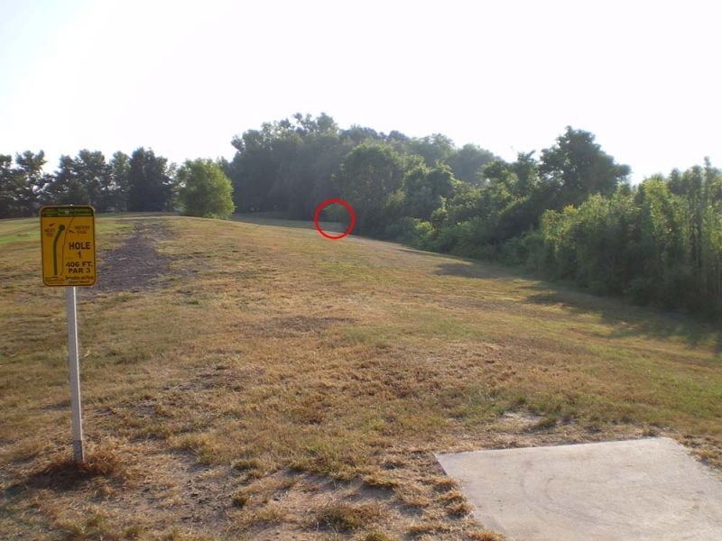
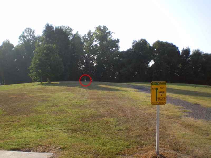
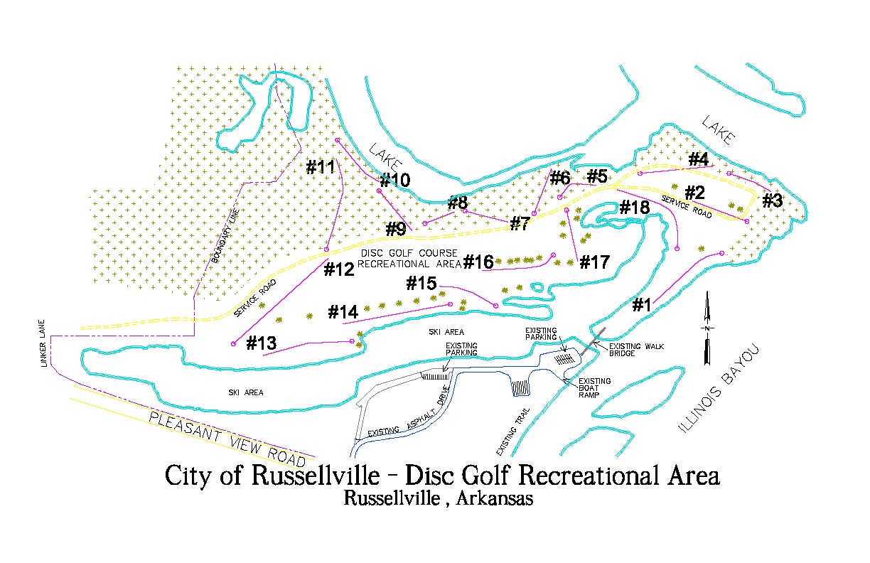 The course is a part of the City of Russellville Parks. The course is built around inlets of Lake Dardanelle. It has a mix of open and wooded holes. |
||
 Hole #1 - Par 3 - 406 ft. |
 Hole #2 - Par 3 - 267 ft. |
 Hole #3 - Par 3 - 250 ft. |
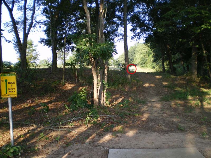 Hole #4 - Par 3 - 282 ft. |
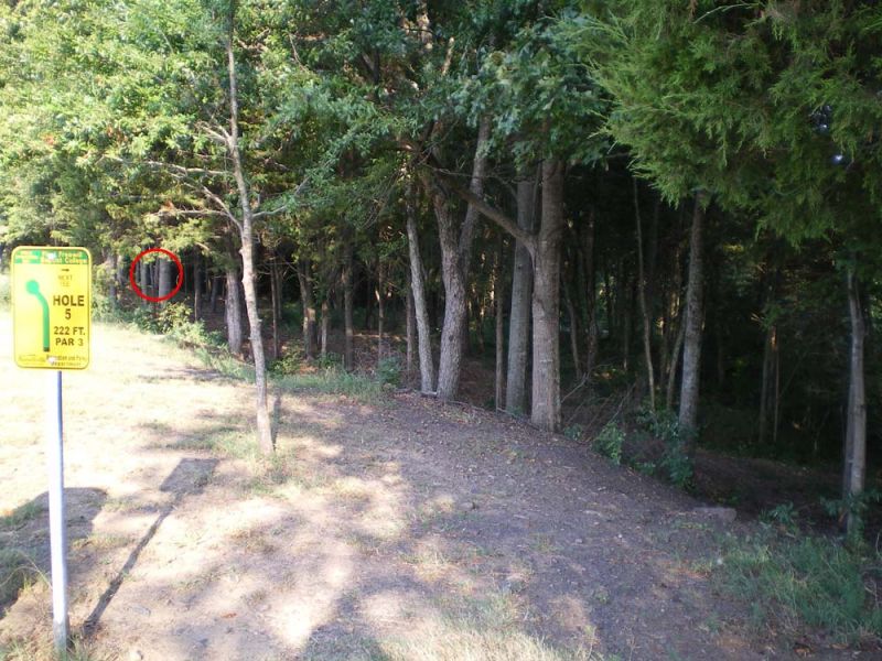 Hole #4 - Par 3 - 222 ft. |
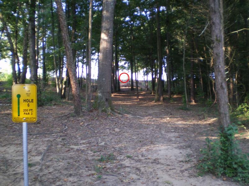 Hole #5 - Par 3 - 200 ft. |
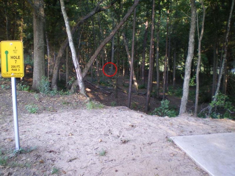 Hole #6 Par 3 - 206 ft. |
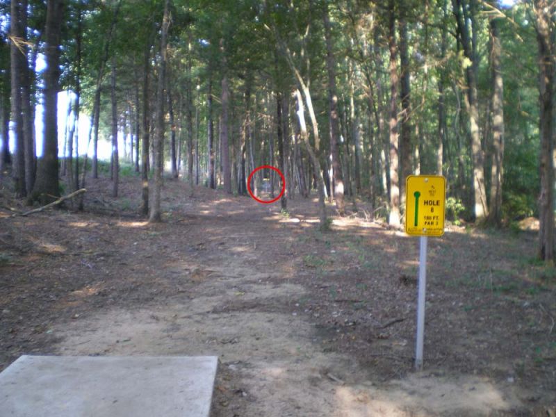 Hole #8 - Par 3 - 188 ft. |
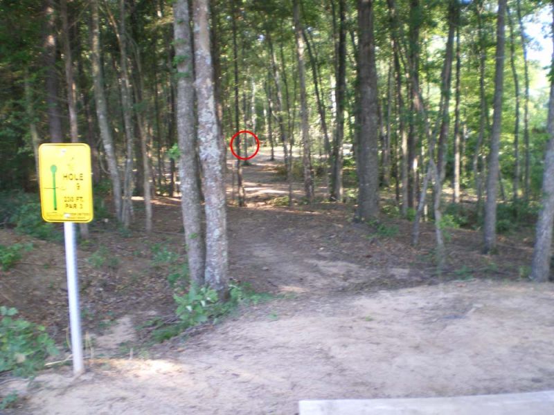 Hole #9 - Par 3 - 230 ft. |
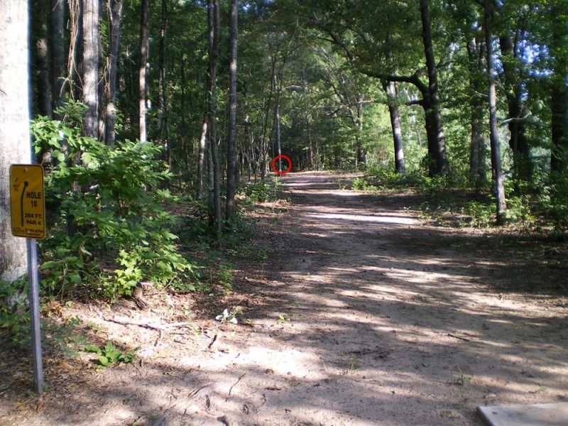 Hole #10 - Par 3 - 284 ft. |
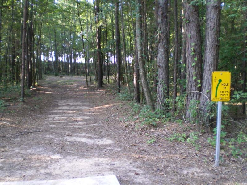 Hole #11 - Par 4 - 440 ft. |
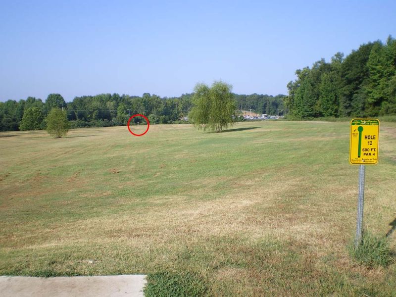 Hole #12 - Par 4 - 600 ft. |
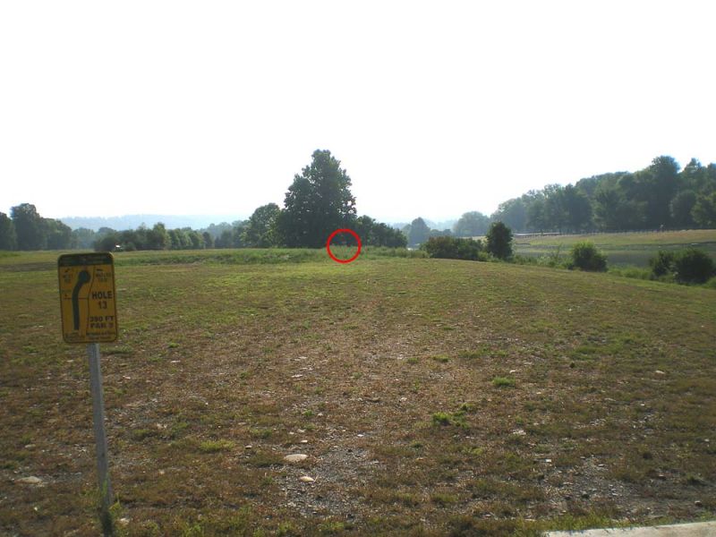 Hole #13 - Par 3 - 390 ft. |
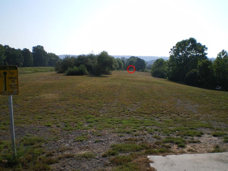 Hole #14 - Par 3 - 520 ft. |
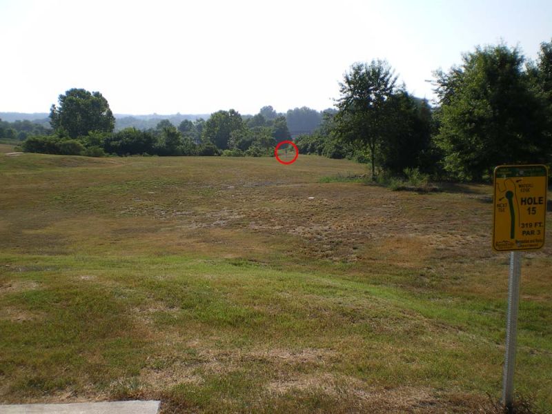 Hole #15 - Par 3 - 319 ft. |
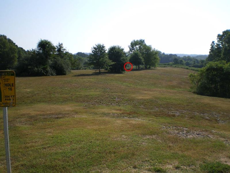 Hole #16 - Par 3 - 304 ft. |
| |
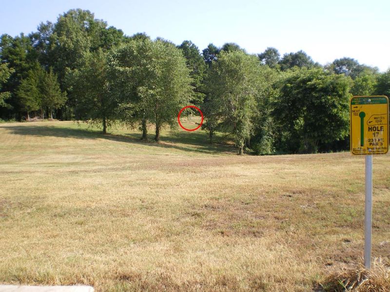 Hole #17 - Par 3 - 230 ft. |
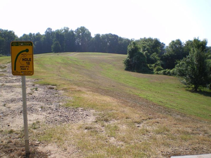 Hole #18 - Par 3 - 460 ft. |
Orbit Lane Trail .jpg) Trail dedicated on June 30, 2015 |
||
|
Parking Area 35.32068°, 93.14762° |
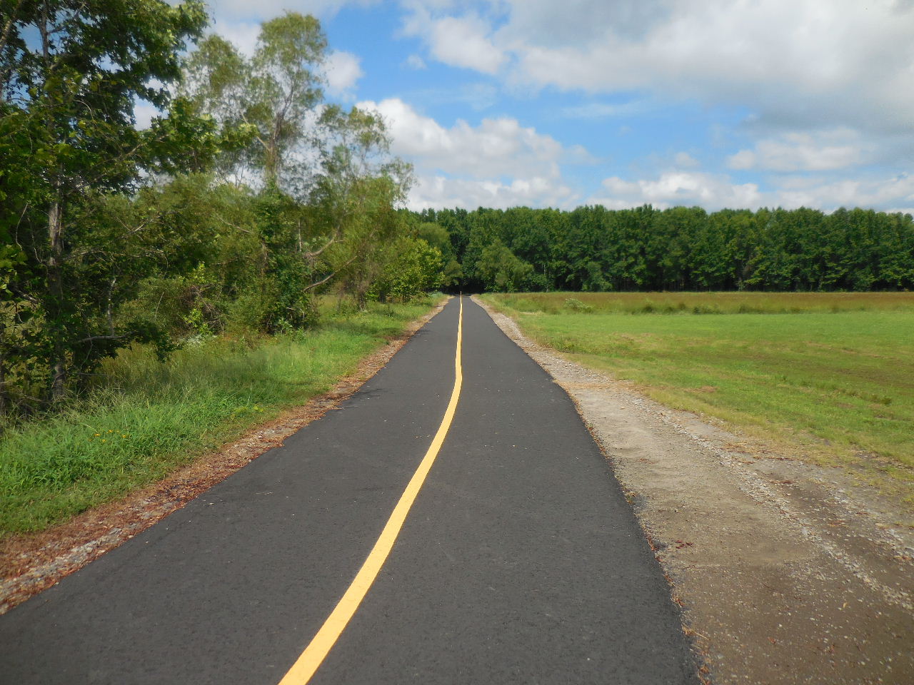
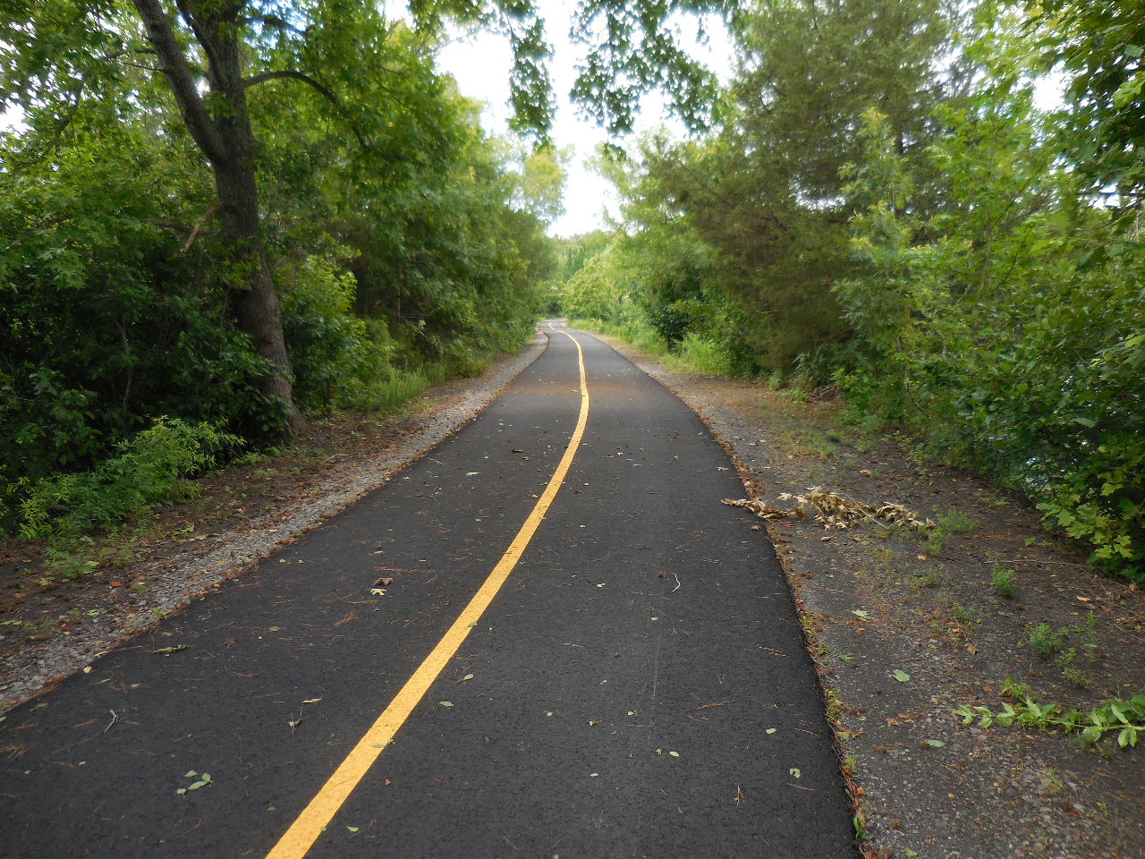
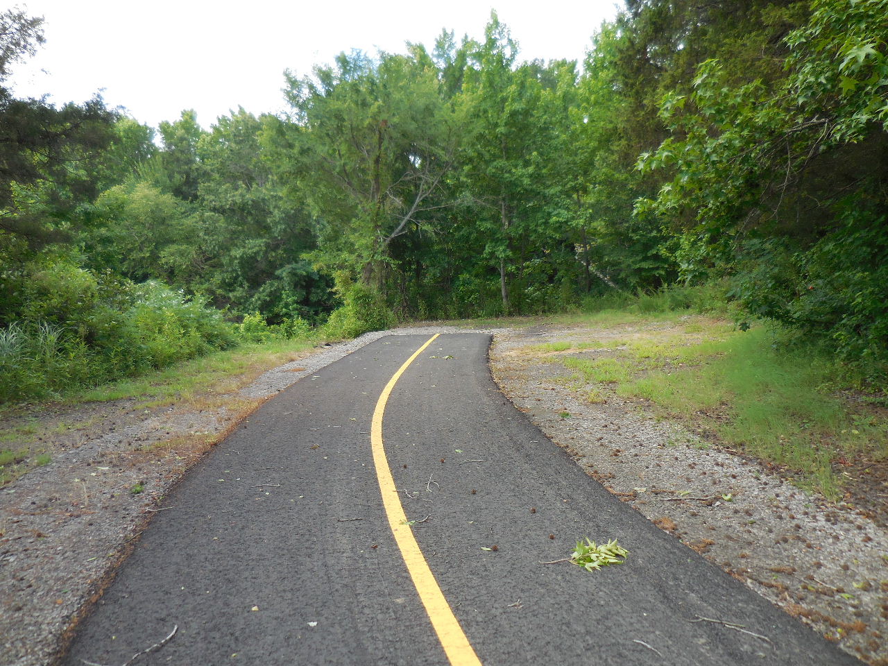
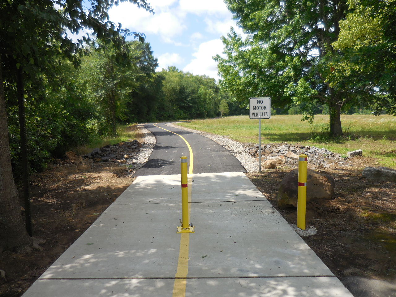 Looking south at new pavement |
 Heading south |
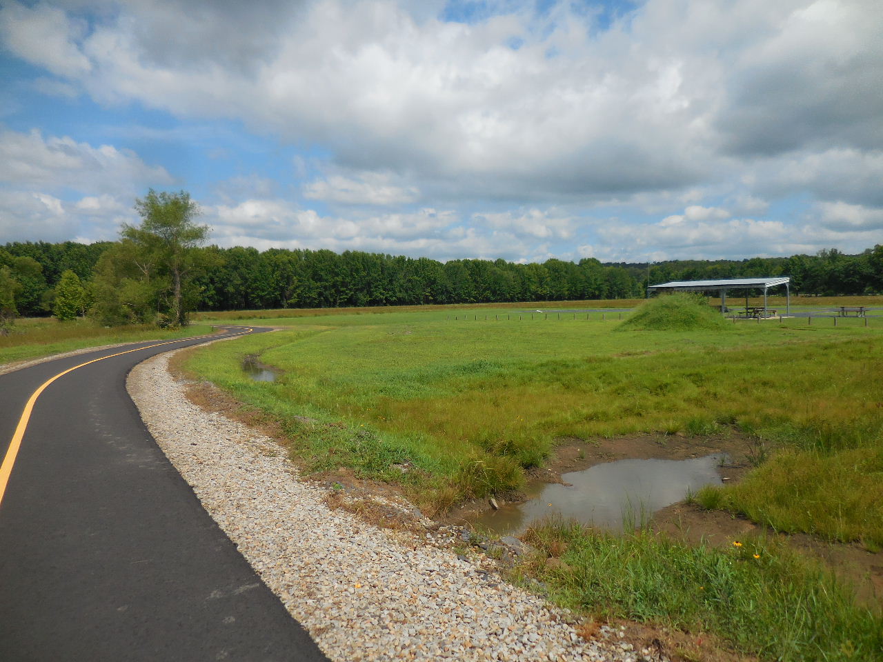 Approaching Charles Jones Field |
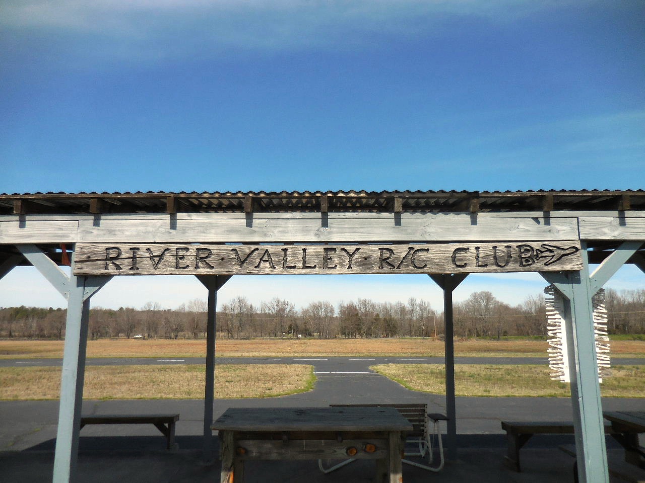
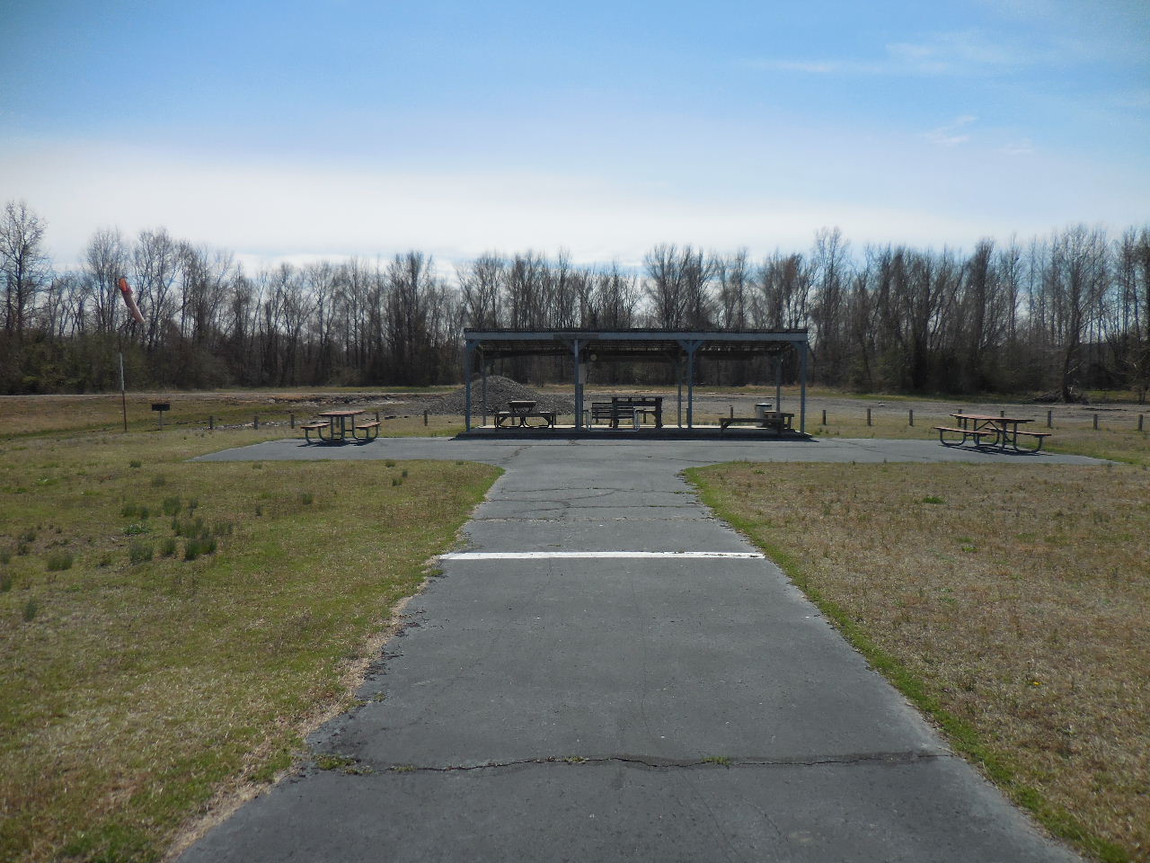
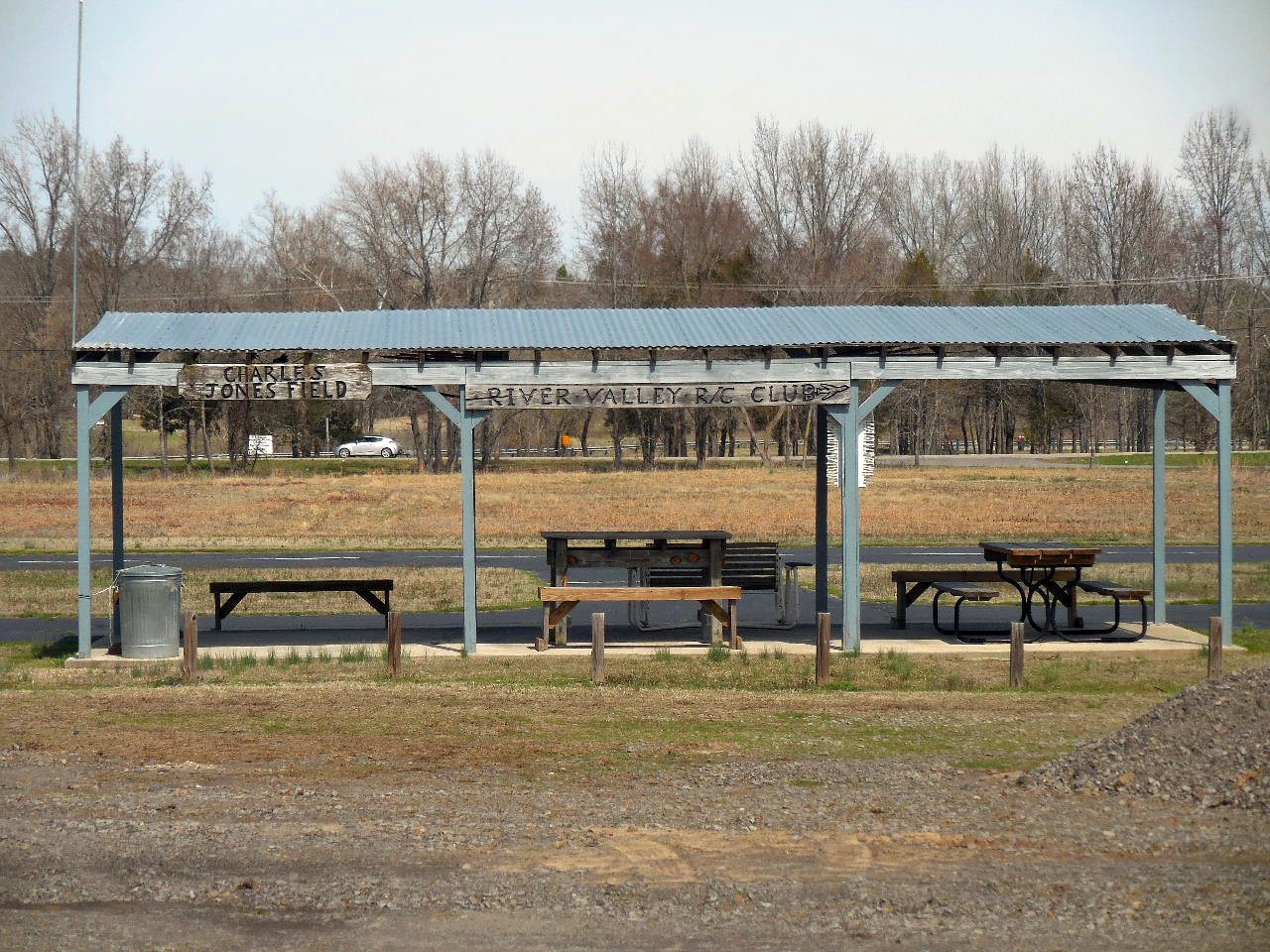 River Valley Radio Control Club and Charles Jones Field 35.31942°, 93.14913° |
 Airstrip |
 |
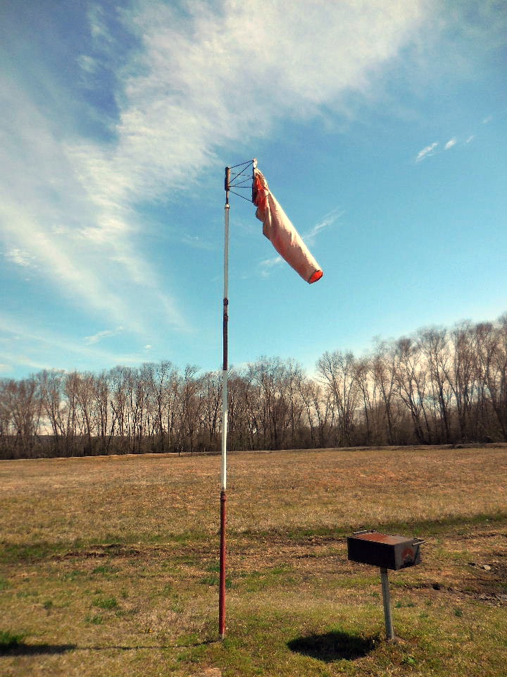 Wind Sock |
 |
 Heading west.....towards intersection |
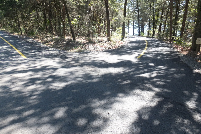
Intersection looking south at new pavement 35.31910°, 93.15201° |
 Intersection looking north towards Pleasant View Road |
 Heading south |
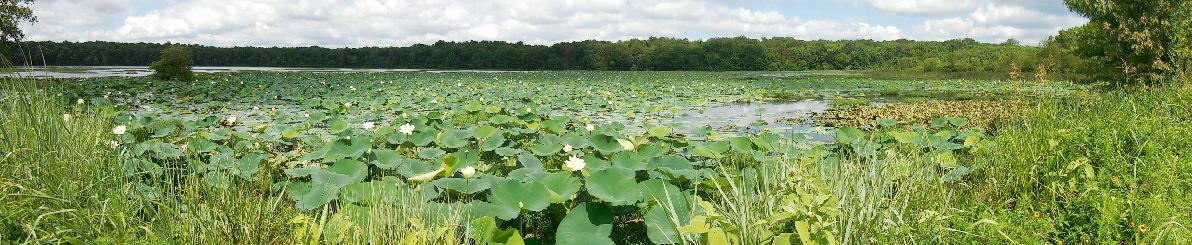
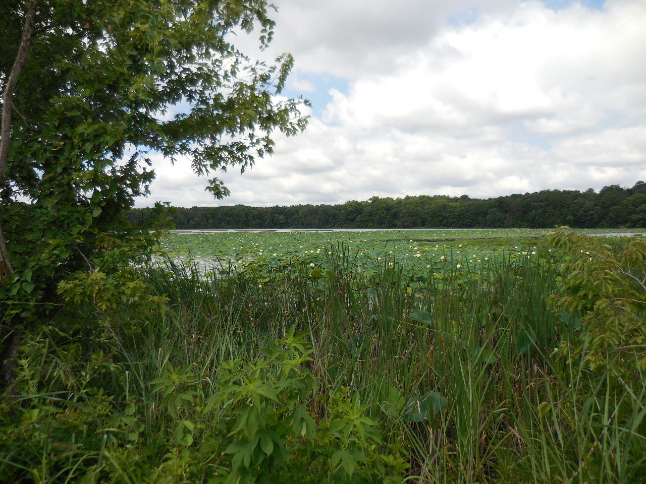 Looking west across Water Lily Pads |
 Water Lily Pads in full bloom |
 Looking west |
||
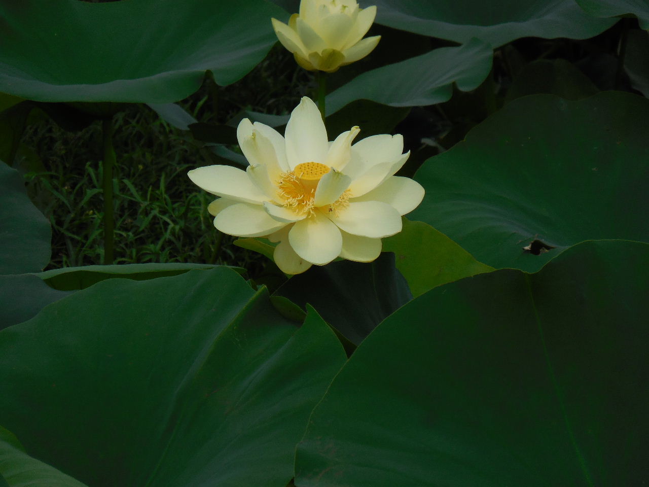 Water Lily Bloom (Nymphaea) |
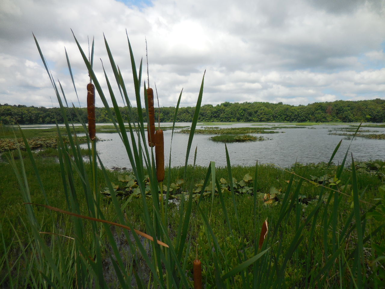 Cattails (Typha Species) |
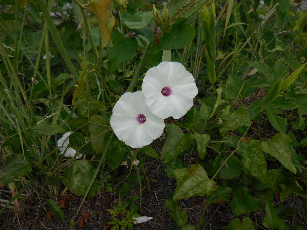 Morning Glory (Wild Potato Vine) |
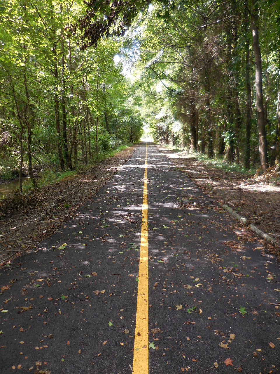
 Continuing south |
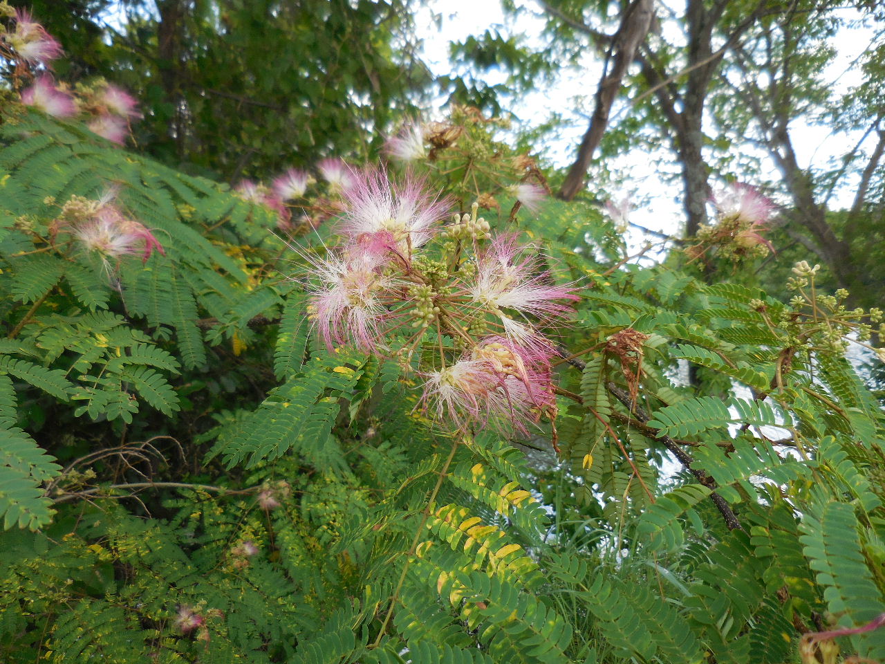 Mimosa Tree |
 Approaching divided pathway |
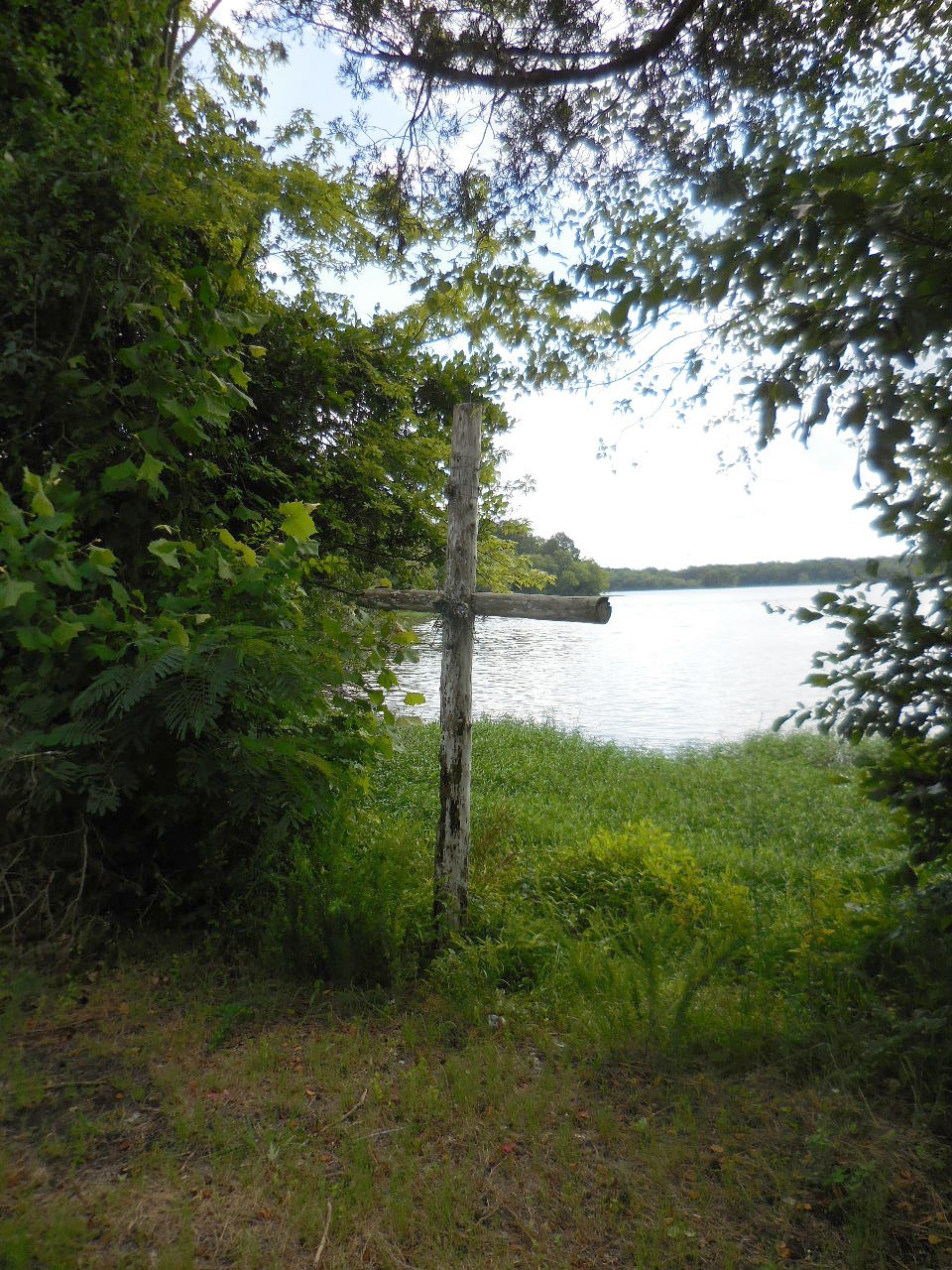 Cross near end of trail |
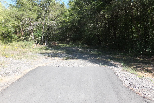
 End of paved trail 35.31153°, 93.15237° (Soon to cross Lake Dardanelle and I-40 and join up with the Ouita Coal Company Mountain Bike Trail) |
 Trail & Gate at Pleasant View Road (This is entrance to Charles Jones Field) |