| TAKAHIK River Valley Hikers |
| Home Scheduled Hikes Pictures Videos Membership Links Trails & Waterfalls Mushrooms Products In Memory Of |
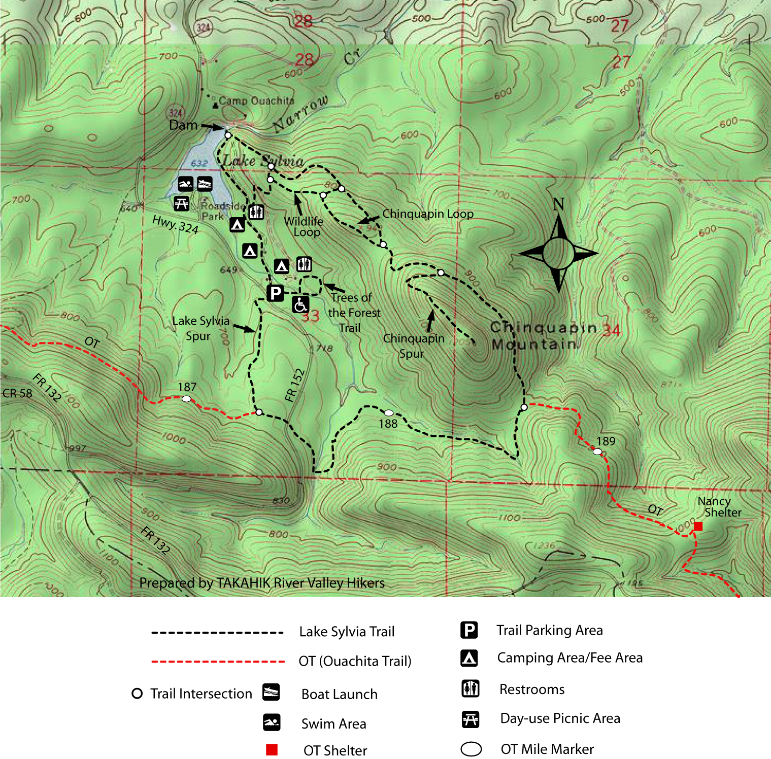
| LAKE SYLVIA |
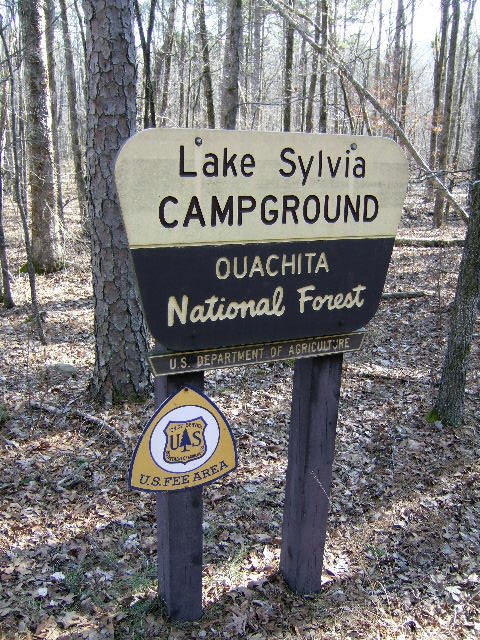 Lake Sylvia Recreation Area |
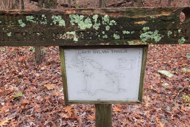
.JPG) Trail Map in the Woods |
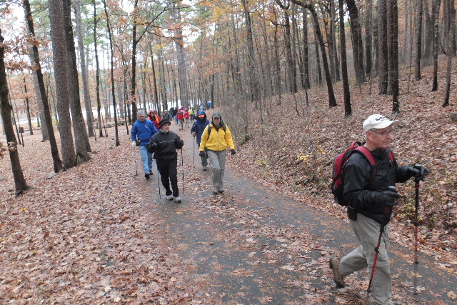
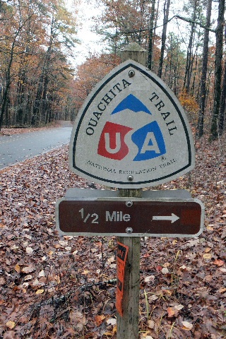 Beginning of Trail across the road from parking area. |
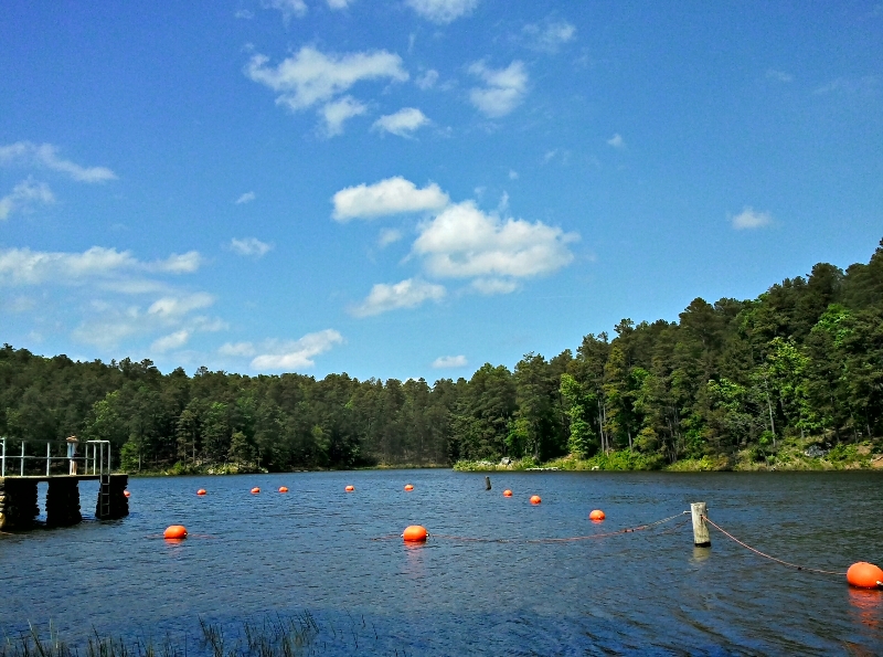 Lake Sylvia in the summer. |
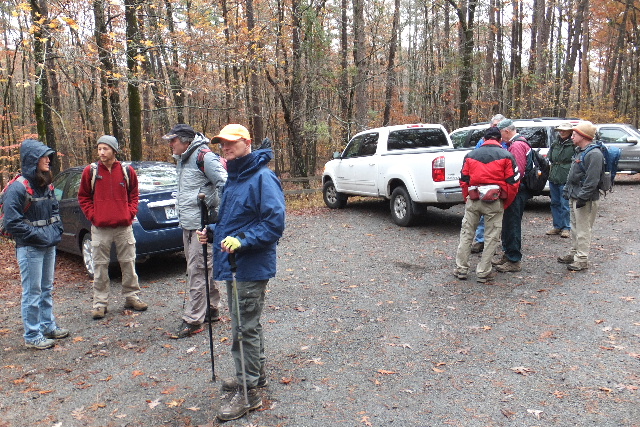 Parking Area at Trees of the Forest Trail 34.86333°, 92.81852° |
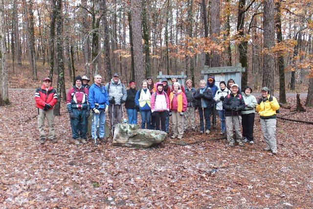 Trail sign-in at parking area. |
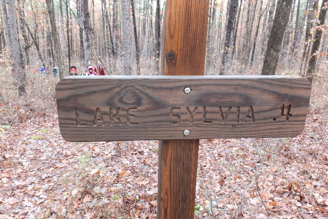 |
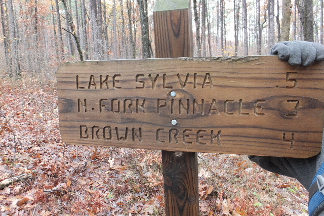
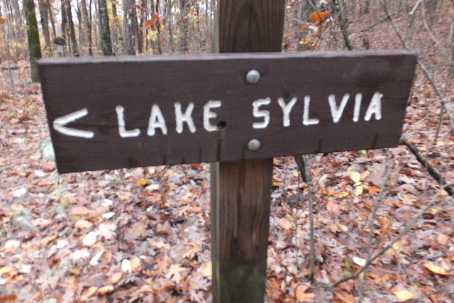
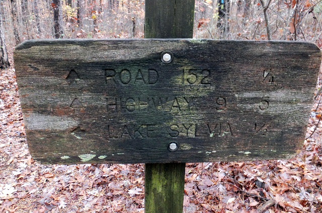 Signs at intersection of Lake Sylvia Spur and the OT (Mile 187.3) 34.85797°, 92.81922° |
 |
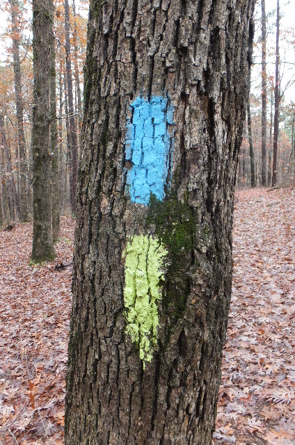 Blue-Ouachita Trail Yellow-Lake Sylvia Trail |
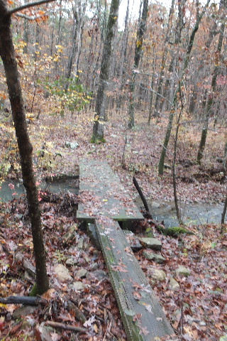 Footbridge 34.85527°, 92.81612° |
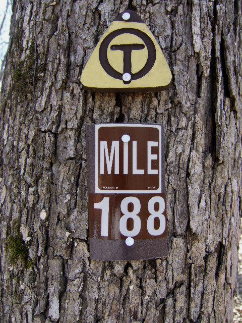 Mile Marker 188 OT |
 Sign at Lake Sylvia Trail and OT (Mile 188.7) 34.85802°, 92.80432° (aka Chinquapin Gap) |
 Sign at Chinquapin Spur 34.86422°, 92.80870° |
 Sign at Chinquapin Loop Trail 34.86562°, 92.81233° |
 Sign at Wildlife Loop Trail 34.86838°, 92.81448° |
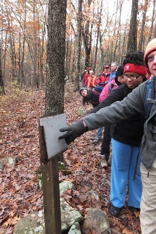
 Typical Sign along Wildlife Loop |
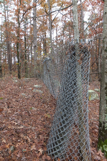 Chainlink Fence 34.86982°, 92.81905° |
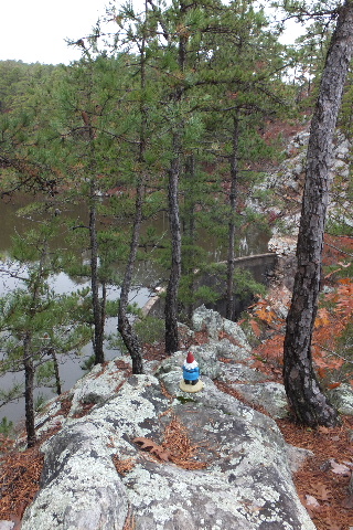 Vista above Dam 34.87090°, 92.82095° |
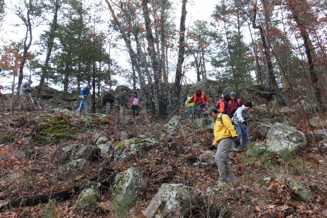 Heading down from Vista to Lake Sylvia Dam |
 Lake Sylvia Dam 34.87117°, 92.82102° |
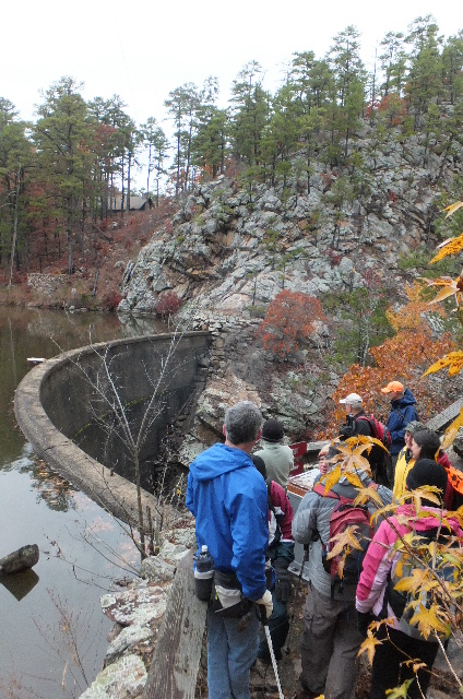 Viewing platform at Dam |
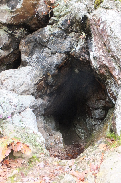 Cave at Dam 34.87090°, 92.82106° |
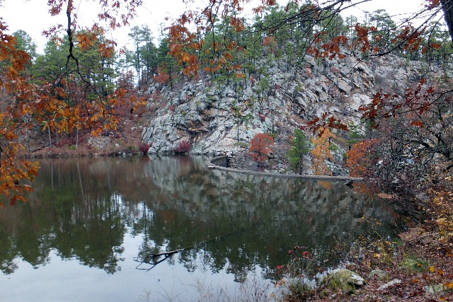 Lakeview of Dam |
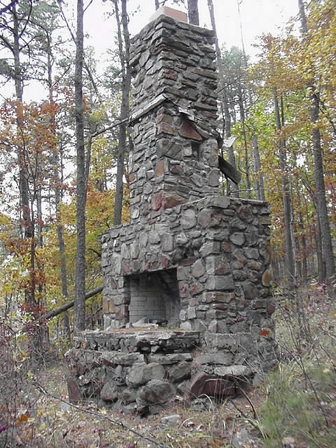 Old Fireplace along trail back to Trailhead |
 Trail/road back to Trailhead |
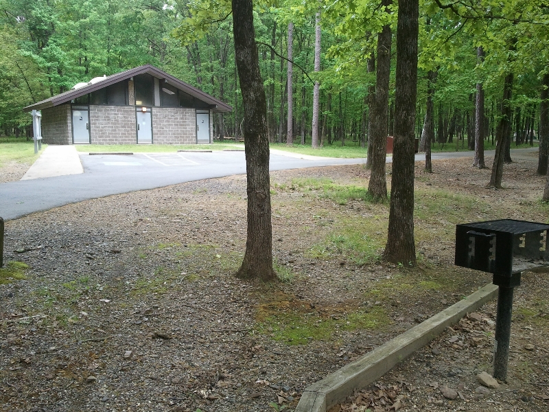 Restrooms in camping area. |