.jpg)
| TAKAHIK River Valley Hikers |
| Home Scheduled Hikes Pictures Videos Membership Links Trails & Waterfalls Mushrooms Products In Memory Of Scholarships |
| PAGE HOLLOW |
|
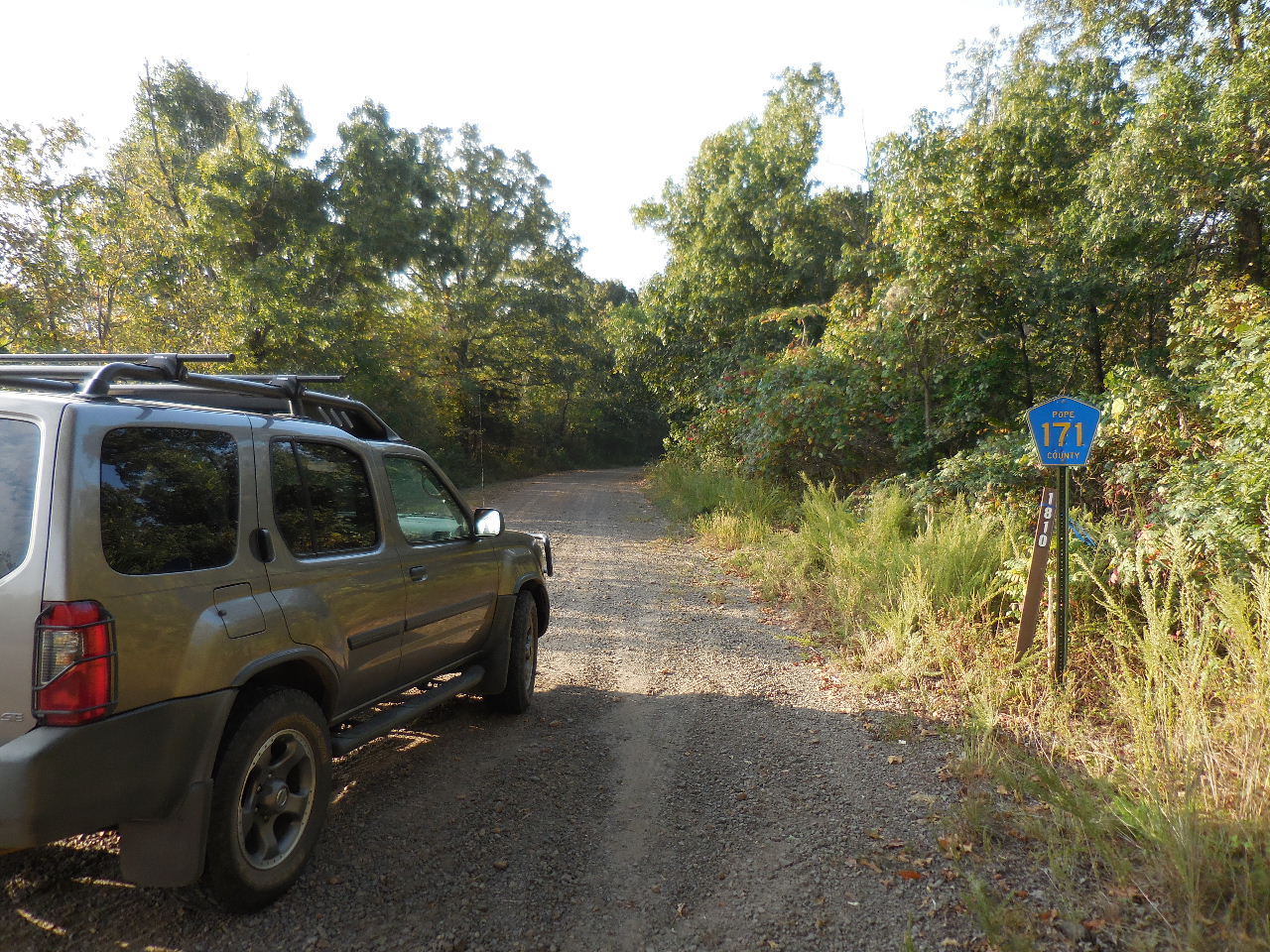 County Road 171, FR 1810 at Hwy. 7 |
 Parking Area "A" 35.59140°, 93.10583° (3.6 miles from Hwy. 7) |
 FR 1820 heading south to the Yvonne Caire place. (This was the old Anna Page who married S.P. "Pet" Summers place) |
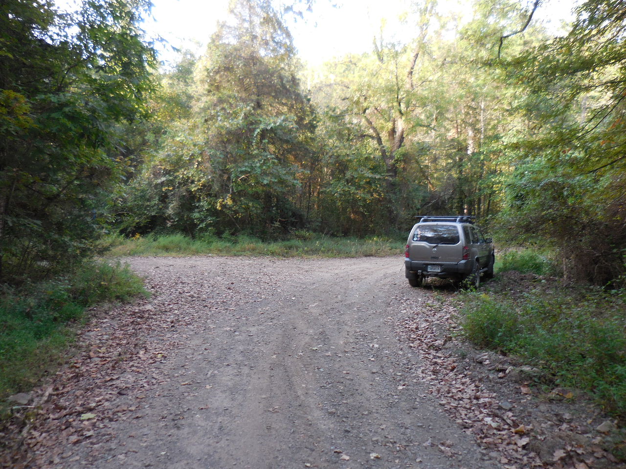
 FR 1810 continues north |
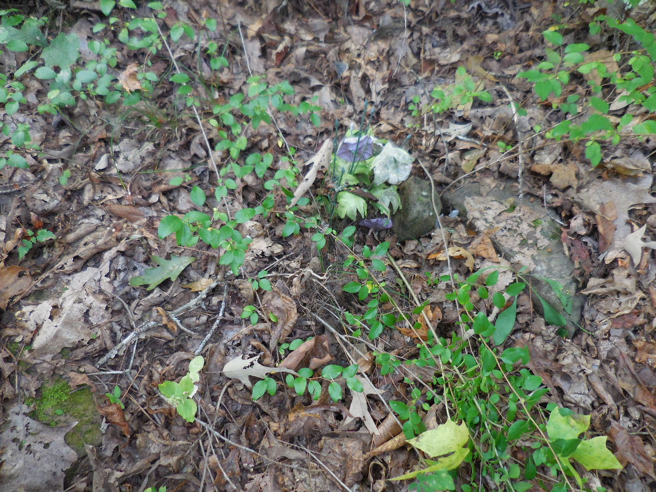
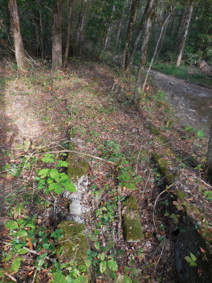 One of several dipping vats in the area. (This was at the old Scott Page place) (Located 100' north of Parking Area) |
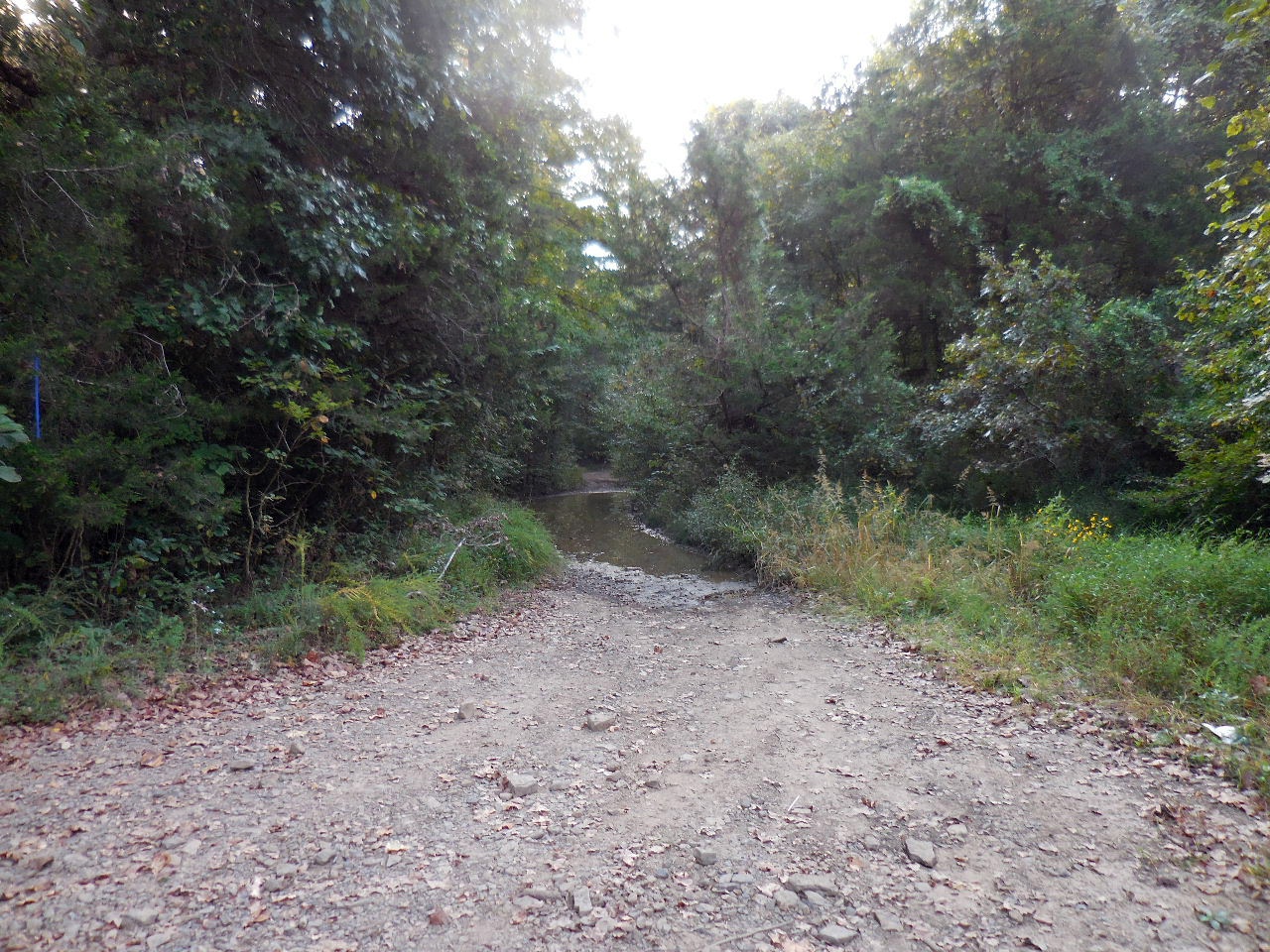
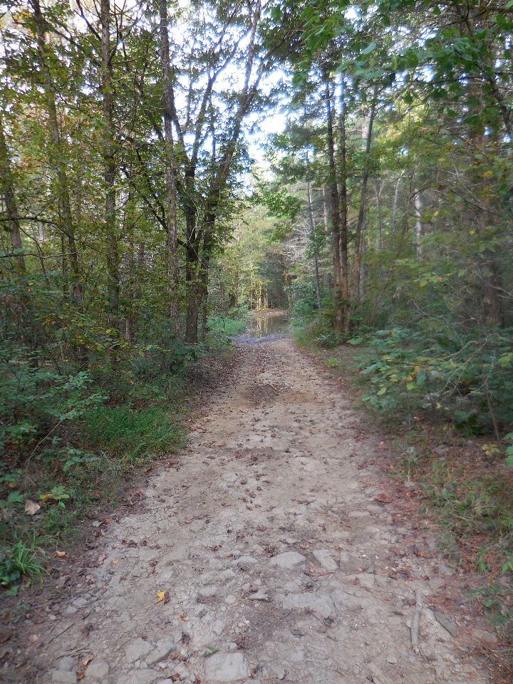 FR 1810 (Lot of mud holes and rough in places, best with 4-WD or ATV, you can drive as far as the Summers' house) |
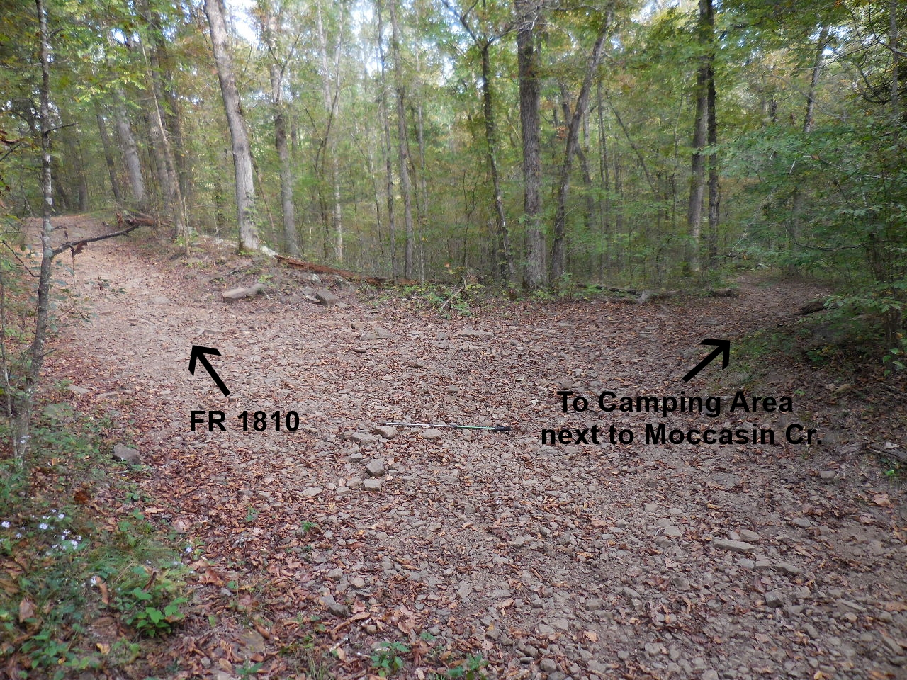 Intersection FR 1810 and road to Camping Area 35.59287°, 93.11693° |
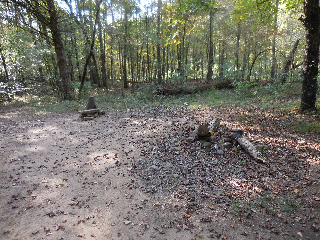
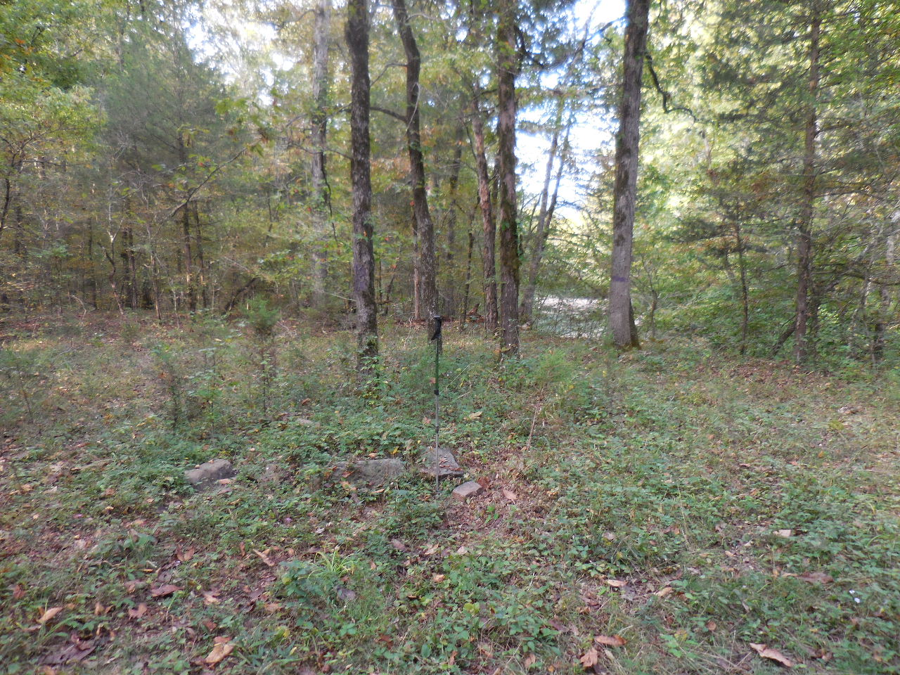 Camping Area next to Moccasin Creek 35.59381°, 93.11724° May be on private property? |
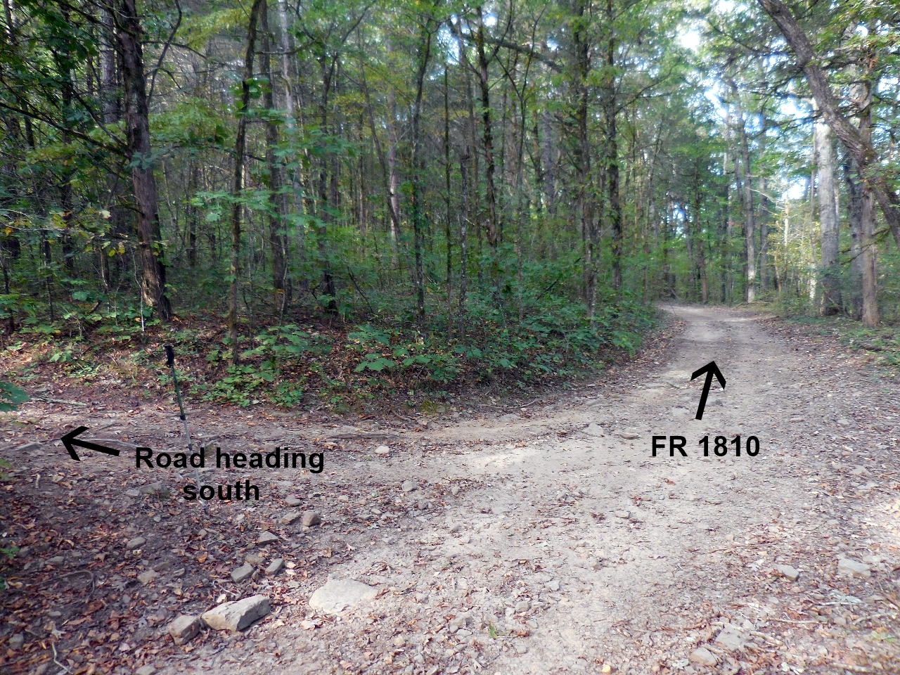 Intersection FR 1810 and road heading south 35.59320°, 93.11738° |
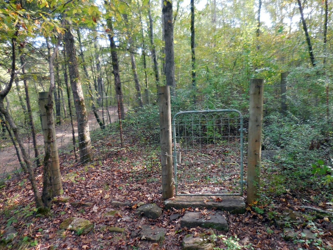 Fenced in Standridge Cemetery 35.59265°, 93.11930° |
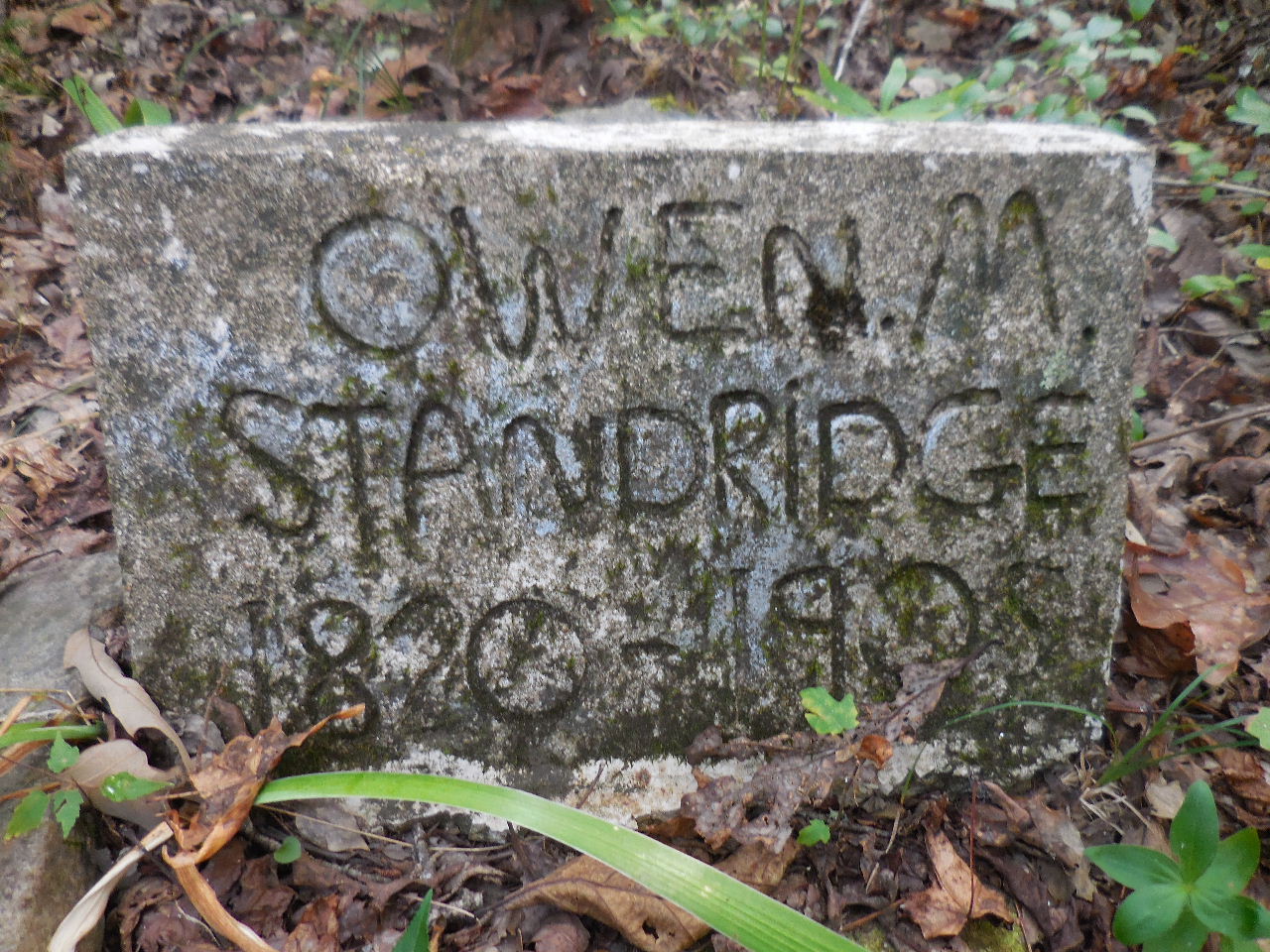 Samuel Owen "Moccasin" Standridge (B. Jan. 16, 1829, Illinois; D. Jan. 16, 1905) (Tombstone is marked wrong on birth date) Parents: Martin Standridge and Catherine Rose Meeks. |
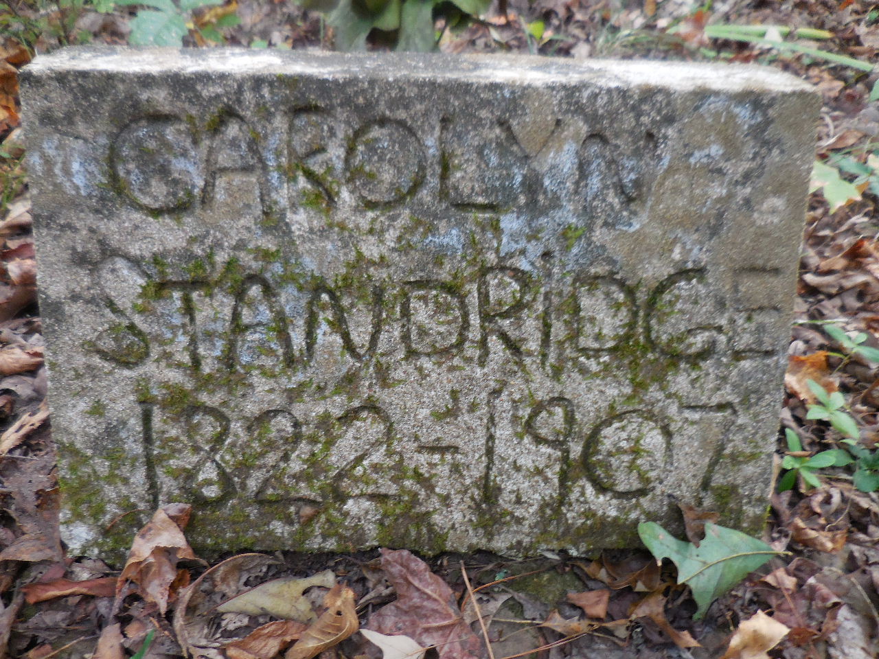 Carolyn Dempsey Standridge (B. 1830, Missouri; D. 1911, Augsburg) She was the mother of 14 children. (Tombstone marked wrong on birth & death date) |
 Infant grave, last name Keys? (Parents not known) |
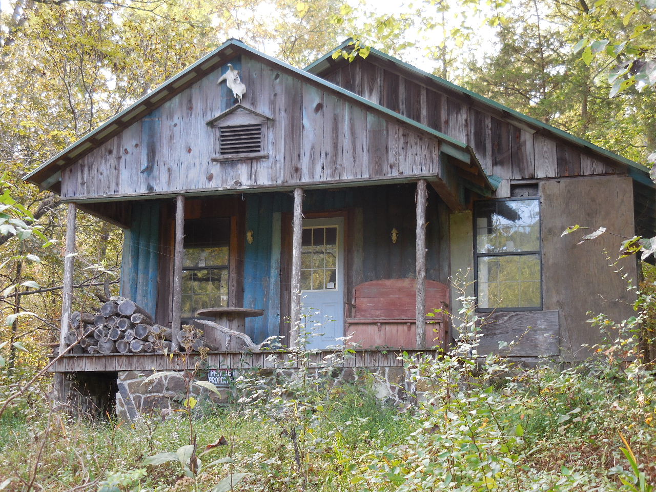 Randy and Judy Summers' house 35.59203°, 93.12615° |
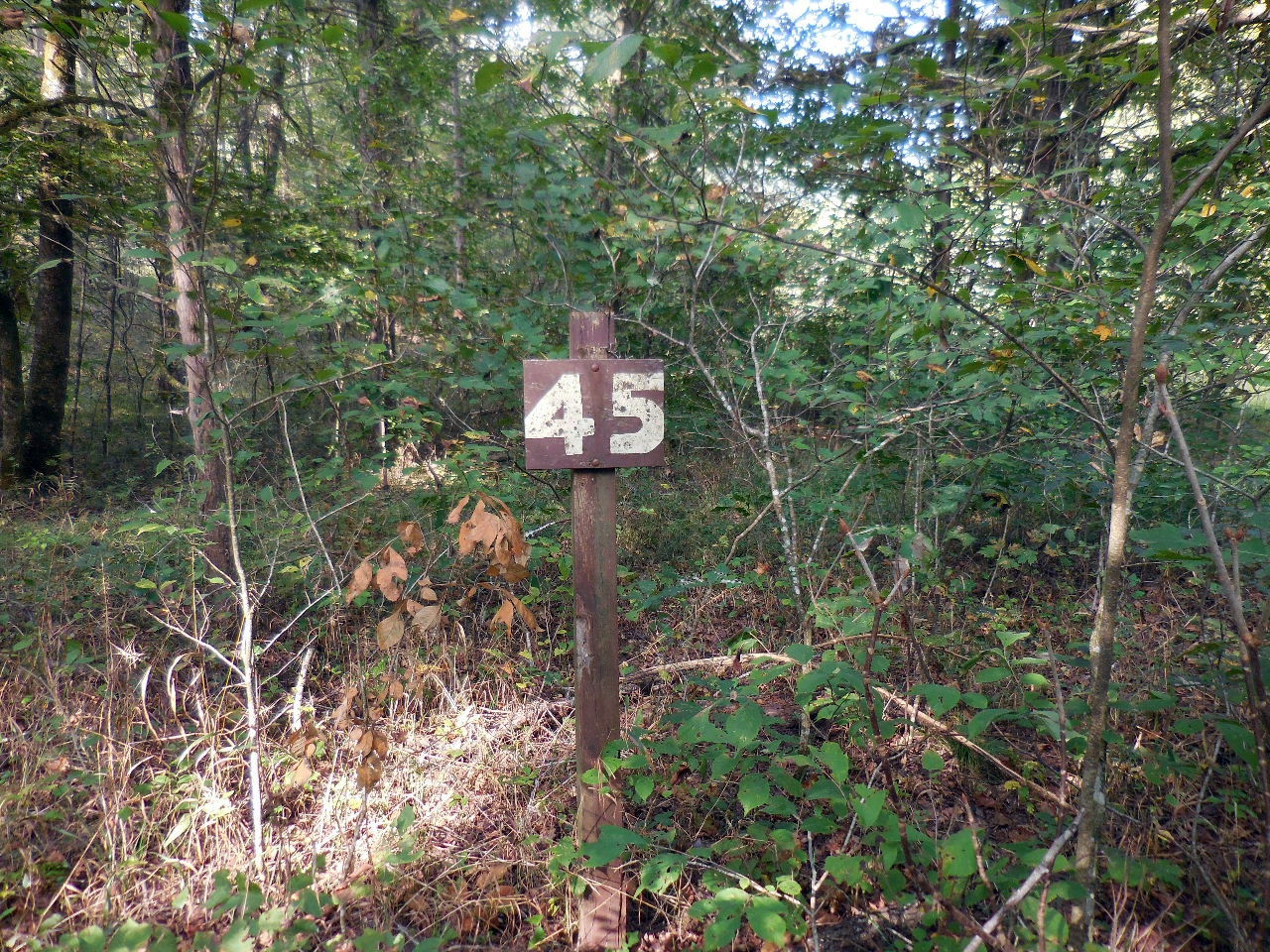 45-Sign? 35.59337°, 93.12821° |
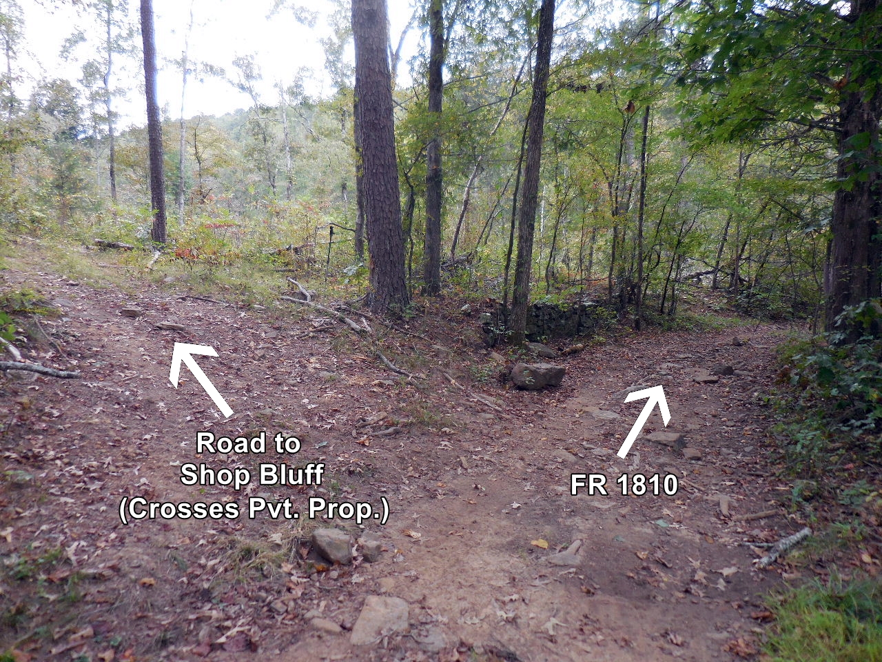 Road to Shop Bluff just past Summers' House 35.59200°, 93.12651° (Road crosses private property) |
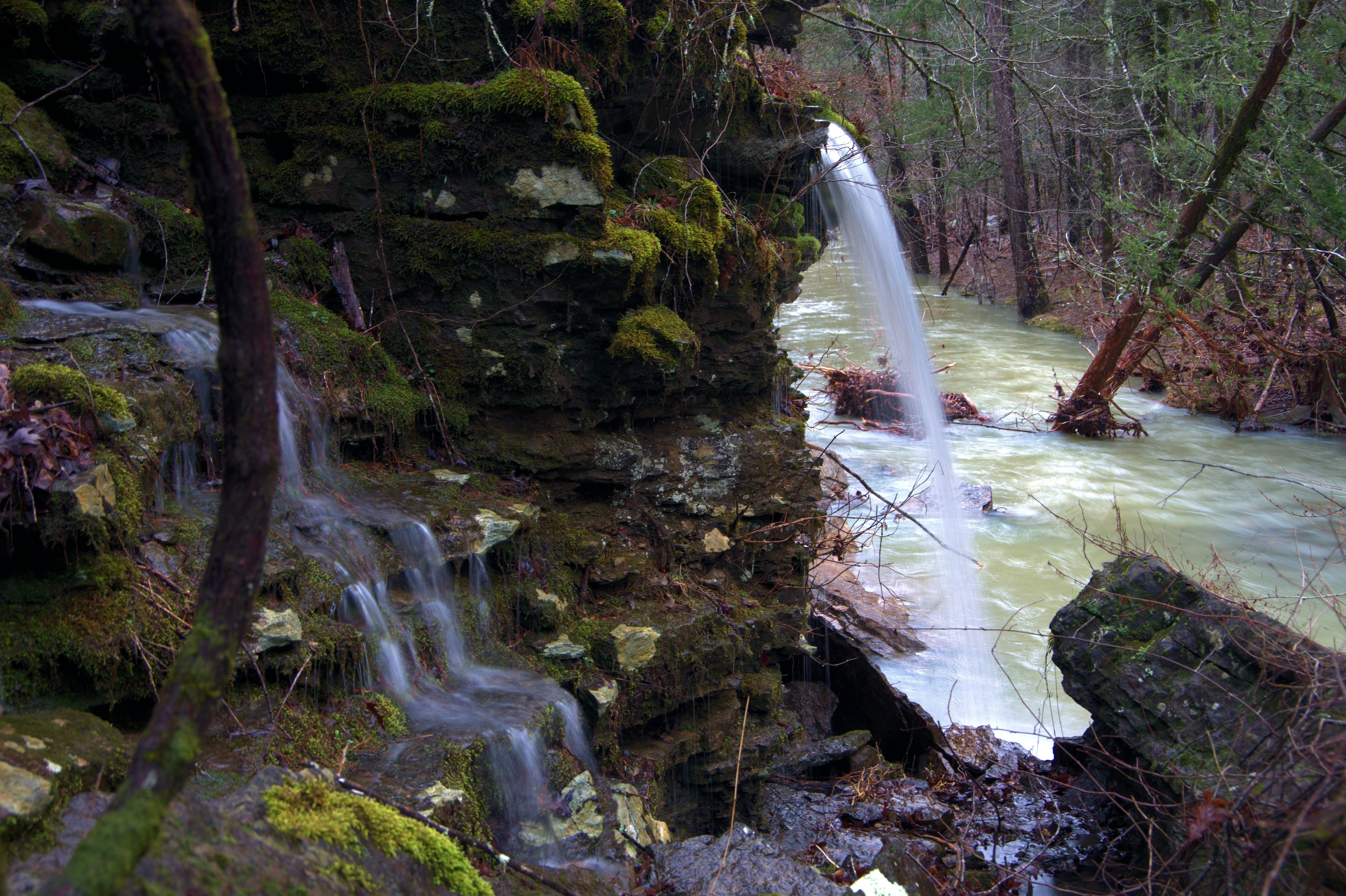
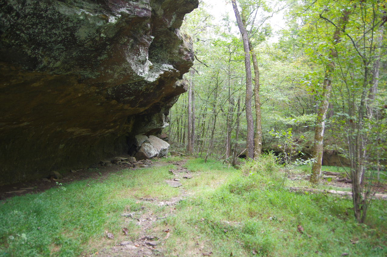 Approaching Shop Bluff (The overhang is larger than it looks) |
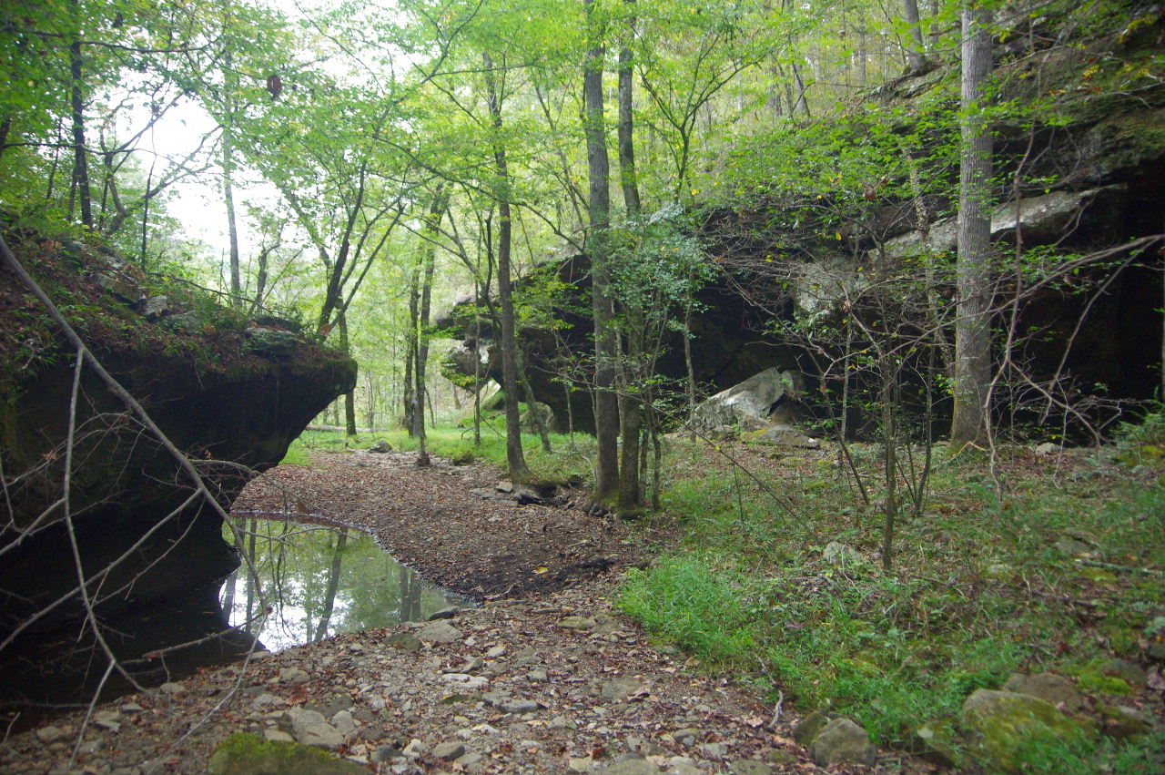 Looking (north) back at Shop Bluff 35.58995°, 93.12730° The branch next to Shop Bluff is aka Shop Bluff Branch and Mine Hollar (From the book Voices of Moccasin Creek) |
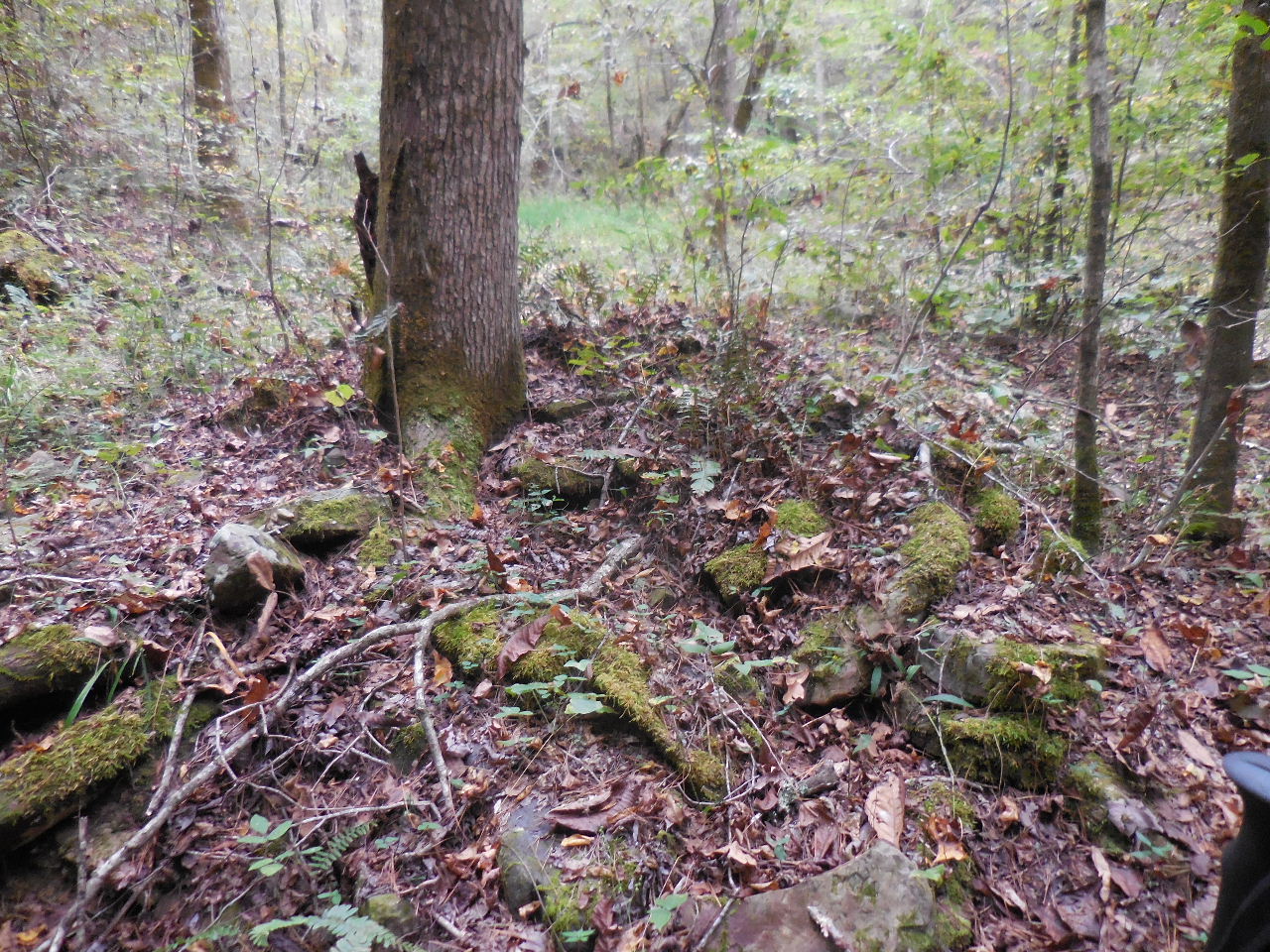 Rocks from still furnace |
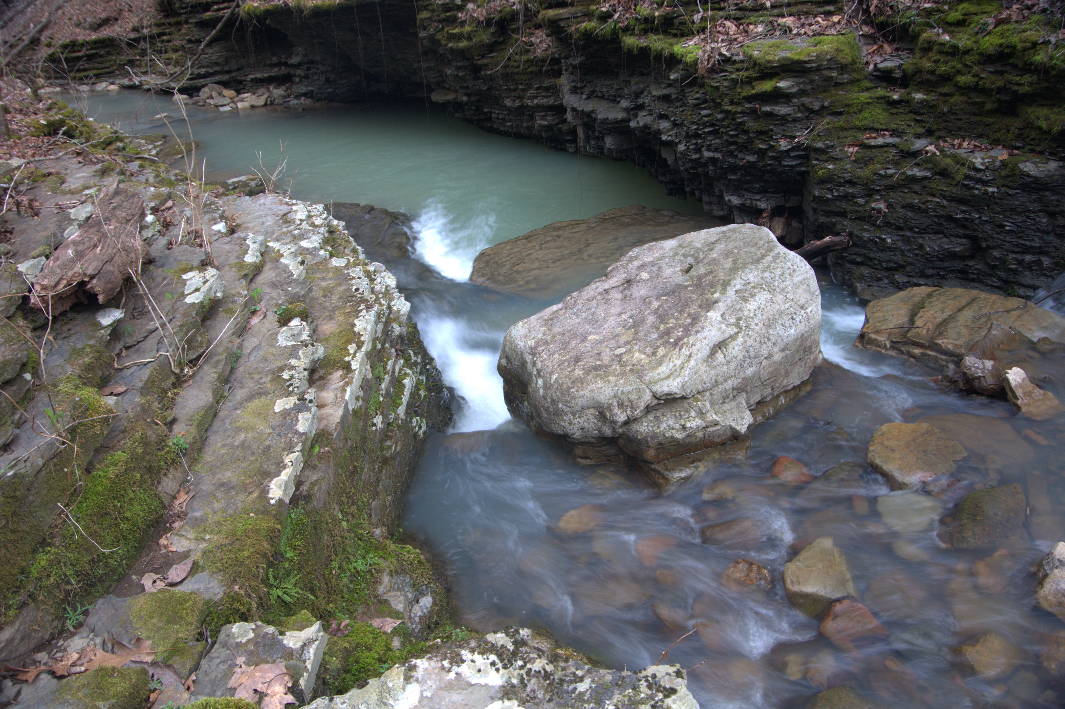
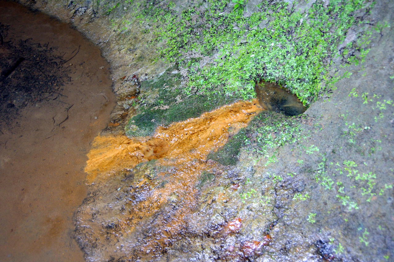 Spring at base of bluff near still and waterfall 35.58857°, 93.12723° |
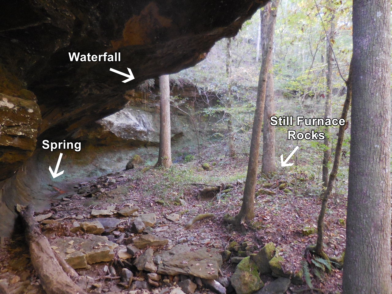 Spring and waterfall near still. |
| Access from FR 1805 (Treat Road)
crossing Moccasin Creek (only during low water) or down FR 1806, CR 70, Dare Mine Road from Hwy. 7. |
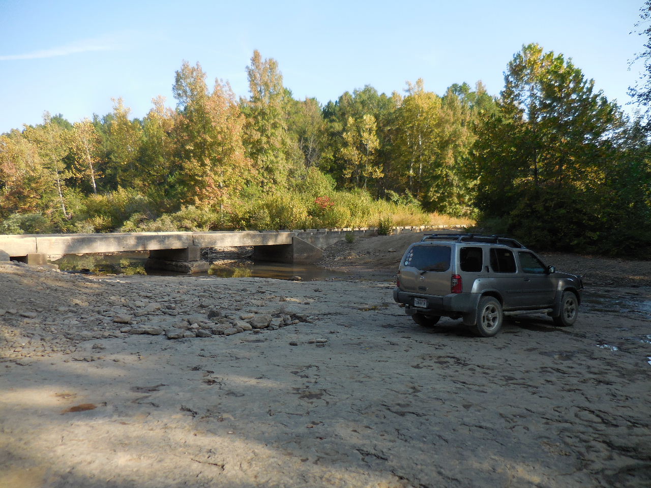 Crossing Moccasin Creek at Low Water Bridge on FR 1805 (Treat Road) 35.60465°, 93.13982° |
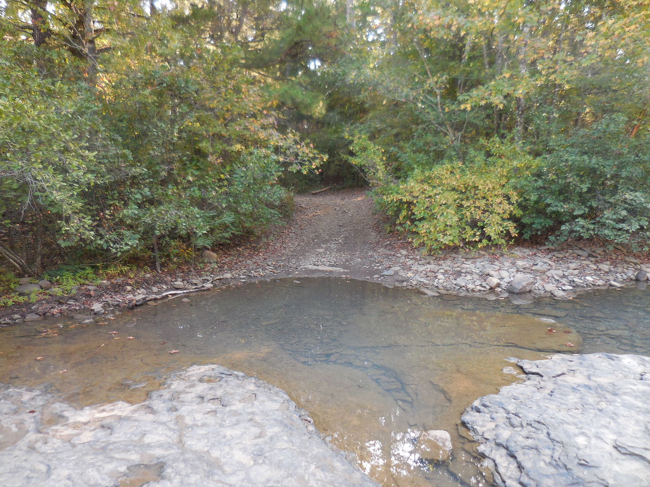 This is FR 1806 where it crosses Moccasin Creek just above Indian Creek and Low Water Bridge |
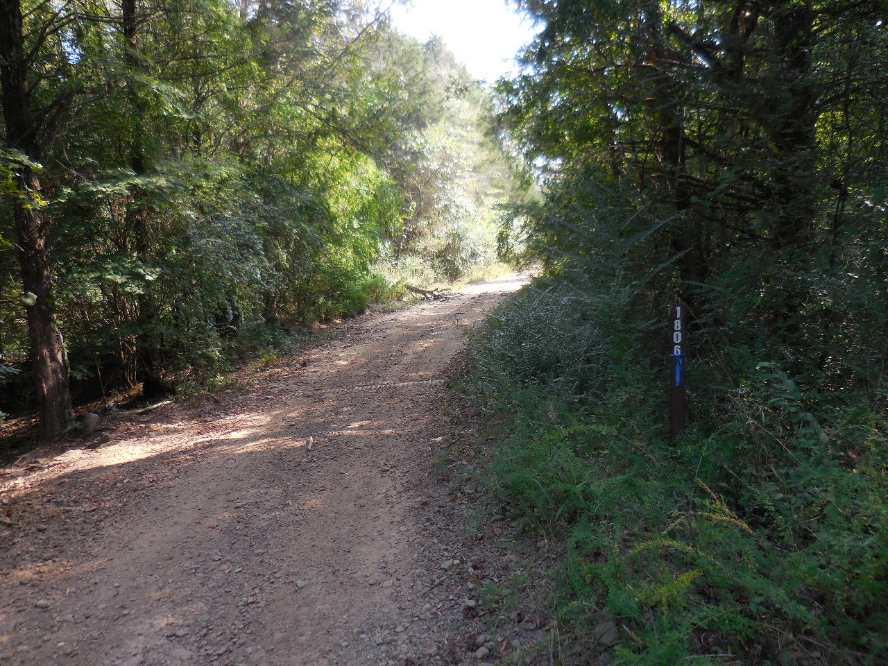 Intersection of FR 1806 & 1810 35.60568°, 93.13517° |
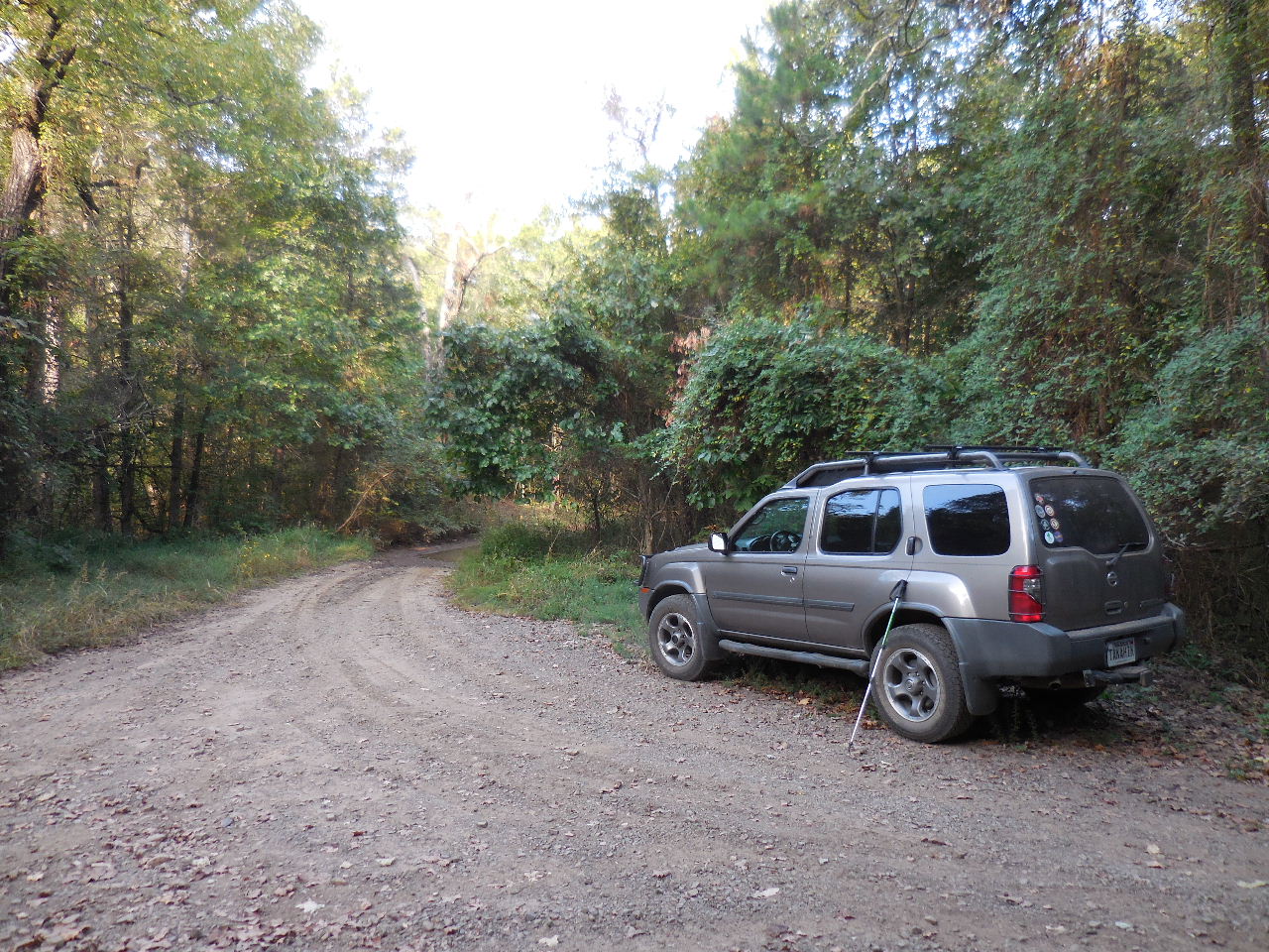
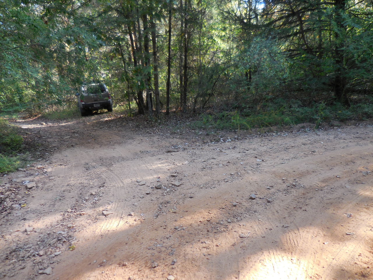
 Parking Area "B" at Camping Area 35.60373°, 93.13785° (FR 1810 from here to Summers' house is pretty rough, ATV, Jeep or foot traffic only) |
 Parking Area "C" 35.60575°, 93.13510° |
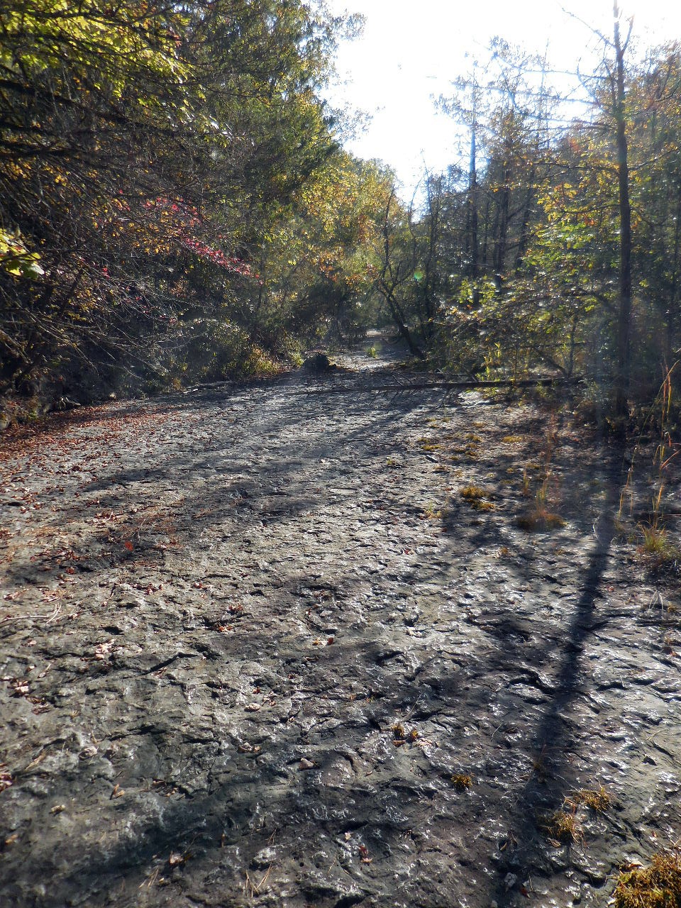
 Little Still Hollow 35.60690°, 93.13383° (On 1932 topo maps it was called Flat Rock Hollow) |
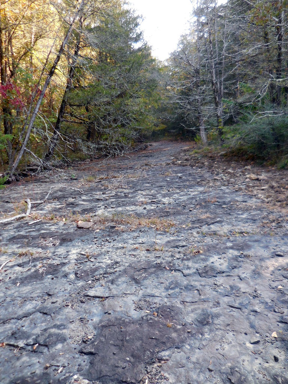 Little Still Hollow (You can see why it used to be call Flat Rock Hollow) |
 Little Still Hollow |
 Little Still Hollow |
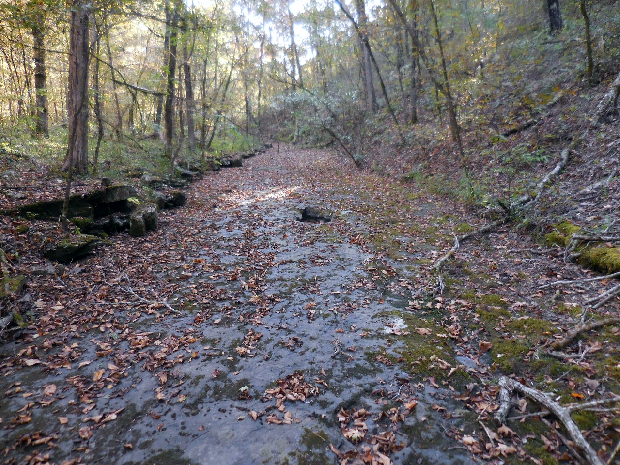
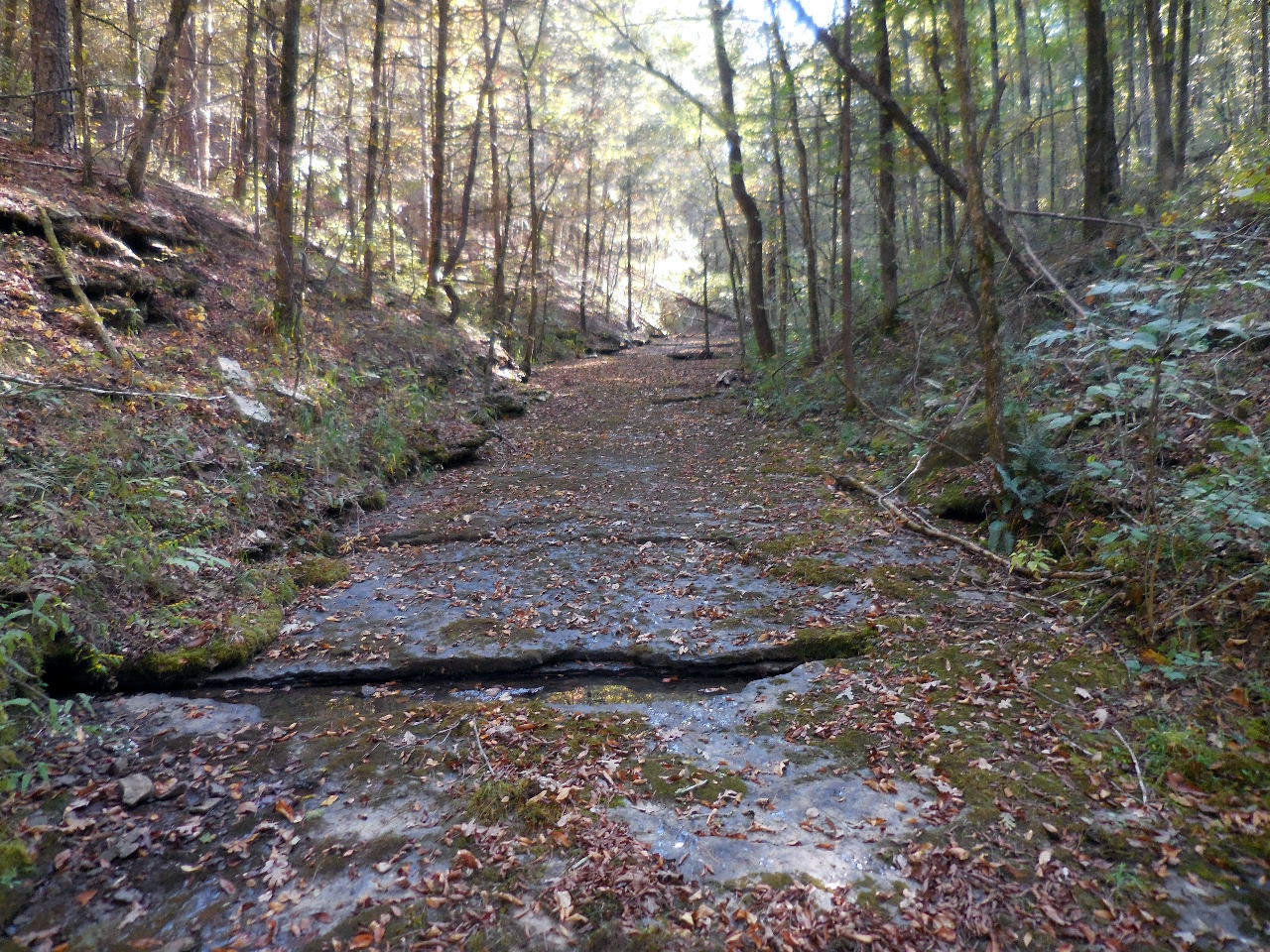 Little Still Hollow The creek is this way all the way to the waterfall. |
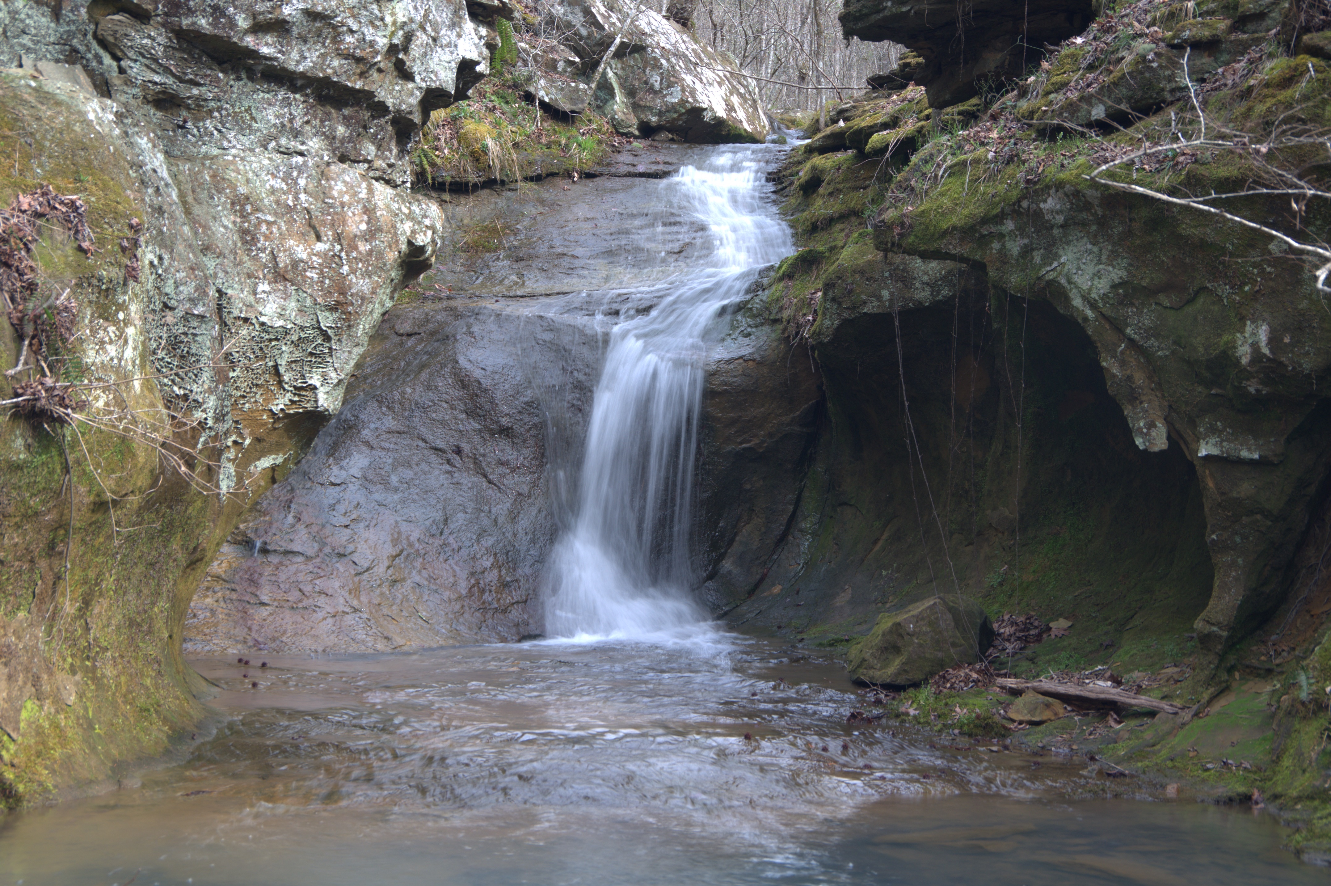
 Waterfall (Dry!) at 0.8 miles 35.60533°, 93.12017° |
 There is an old road trace on the north side of the hollow that you can follow back. |
 This is the entrance to Mine Hollow 35.60867°, 93.13285° |
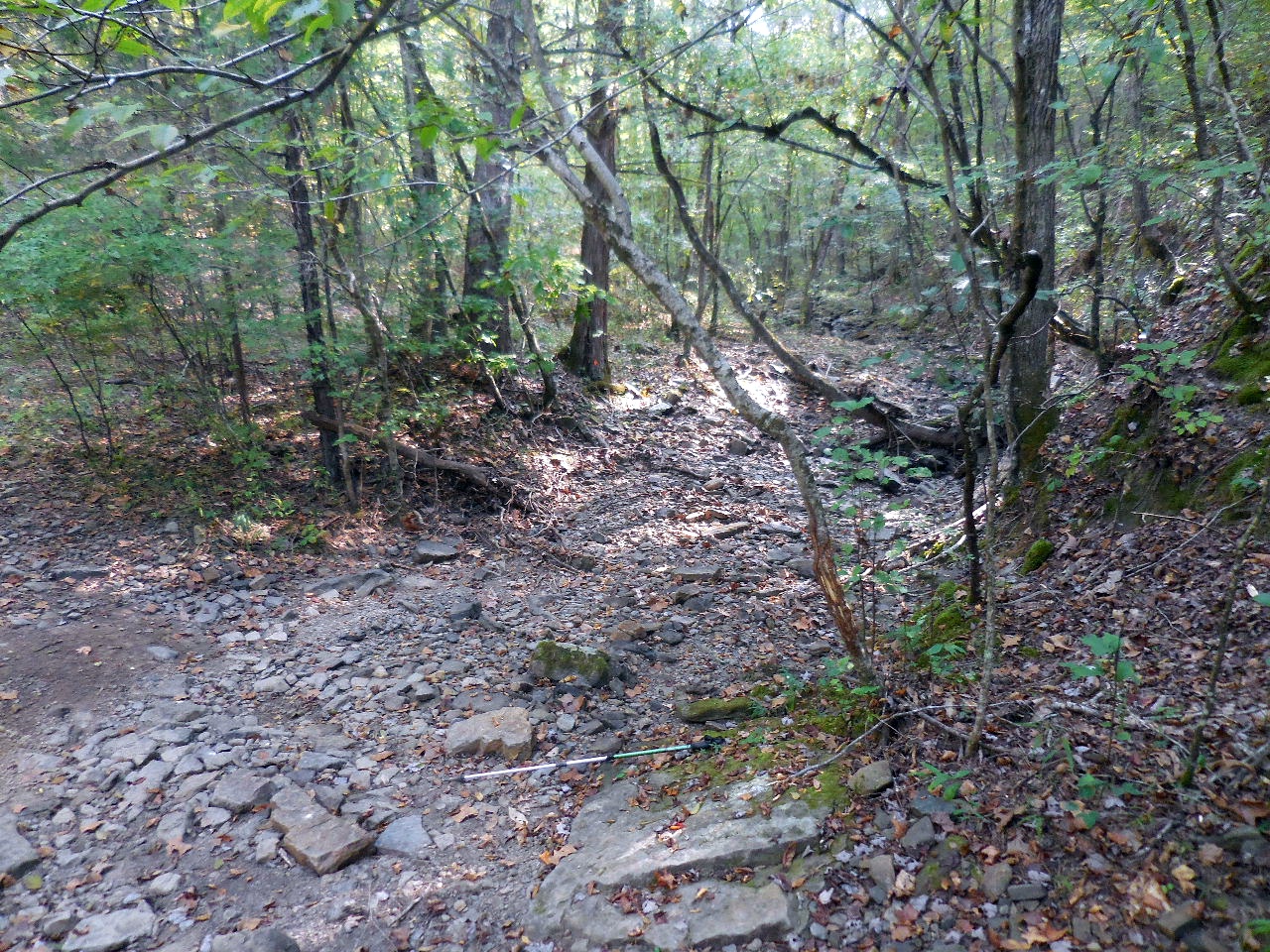
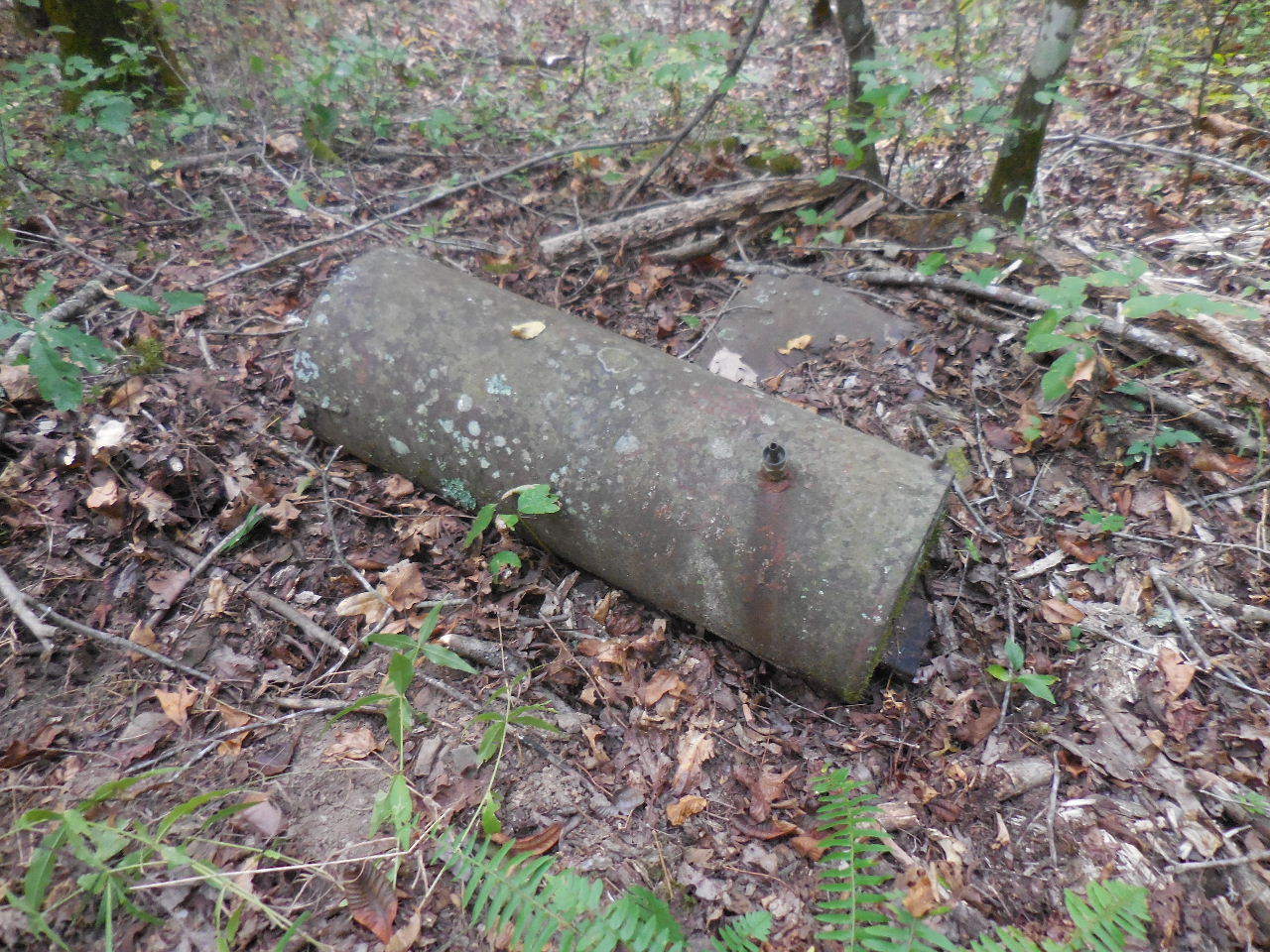 Found old metal tank in creek at 0.4 miles 35.61012°, 93.12625° (Did not find much else up Mine Hollow) |
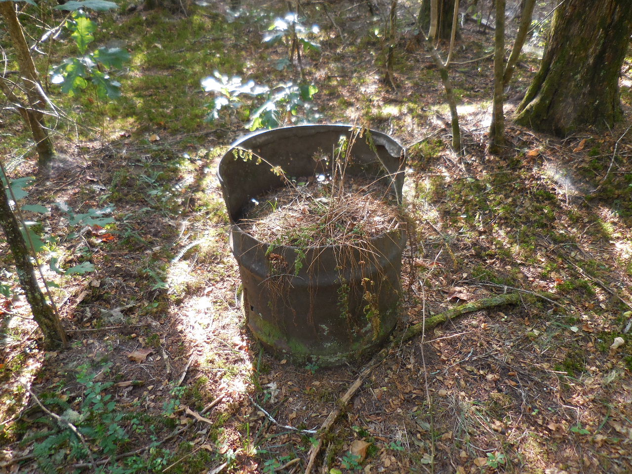 Found old barrel planter next to access road on way back to parking area. 35.60545°, 93.13650° |
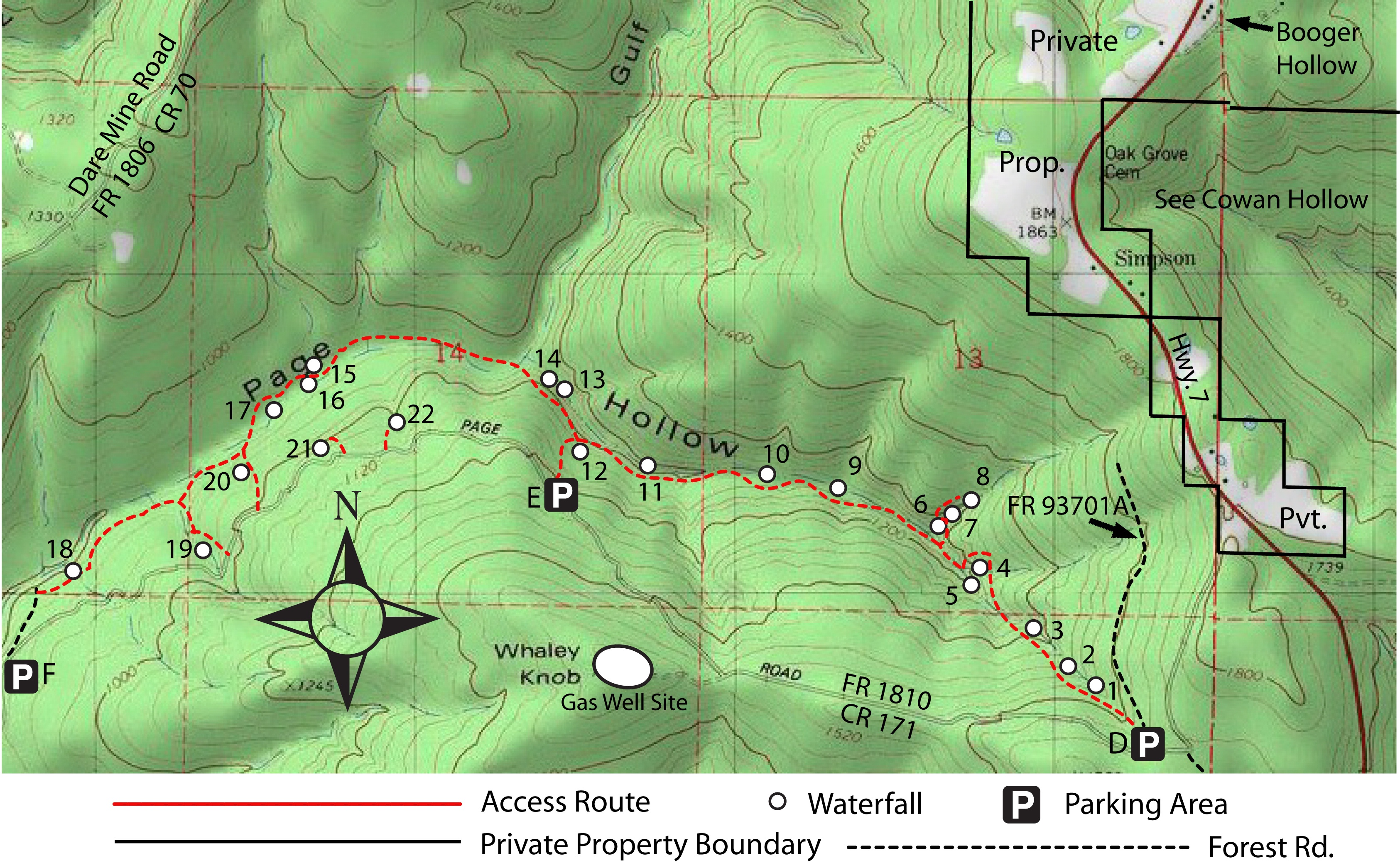 The Waterfalls of Page Hollow Parking Area "D" 35.59225°, 93.06321° Parking Area "E" 35.59953°, 93.08365° Parking Area "F" 35.59479°, 93.10238° |
||
 WF #2 35.59433°, 93.06560° |
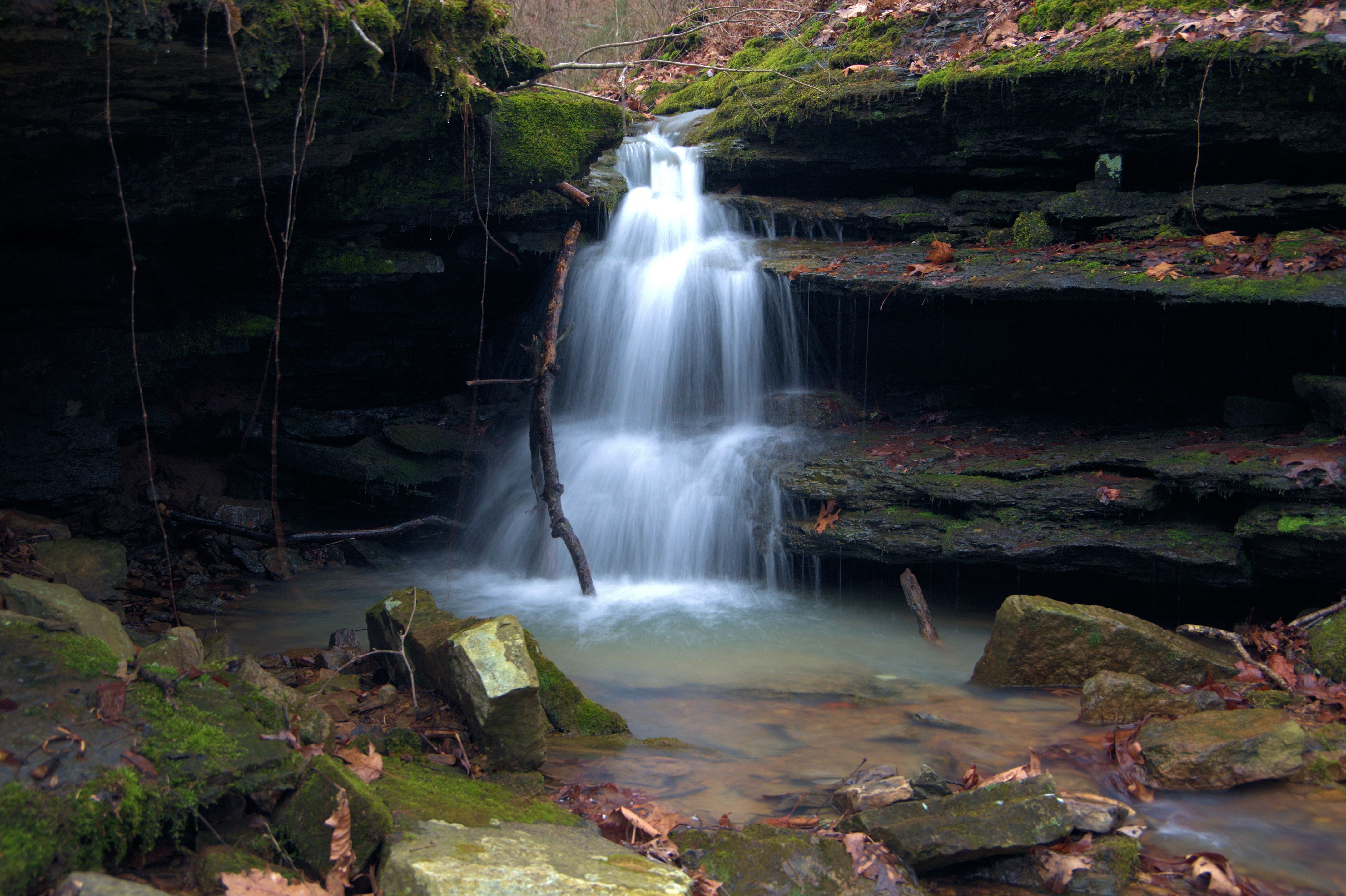
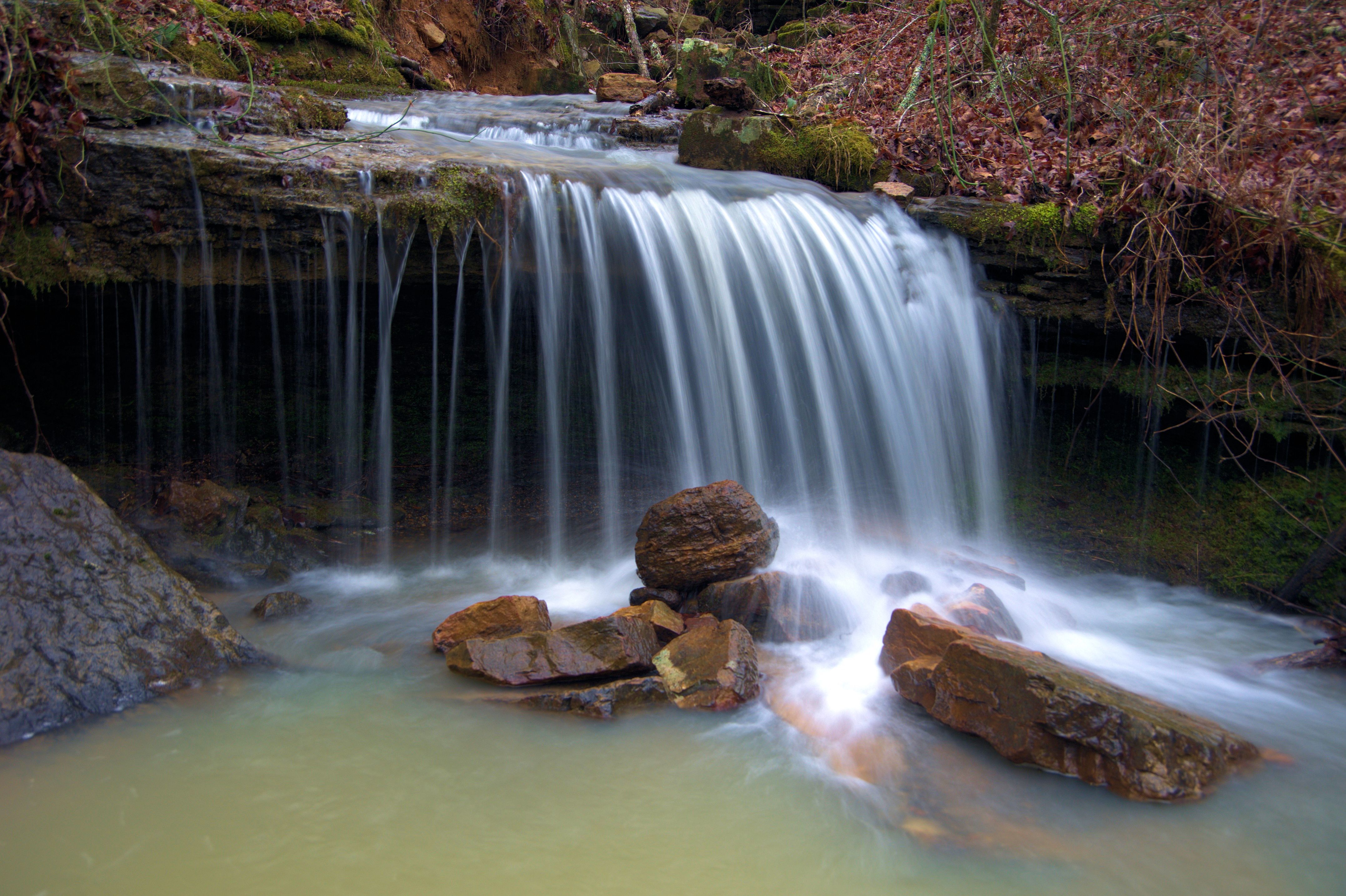
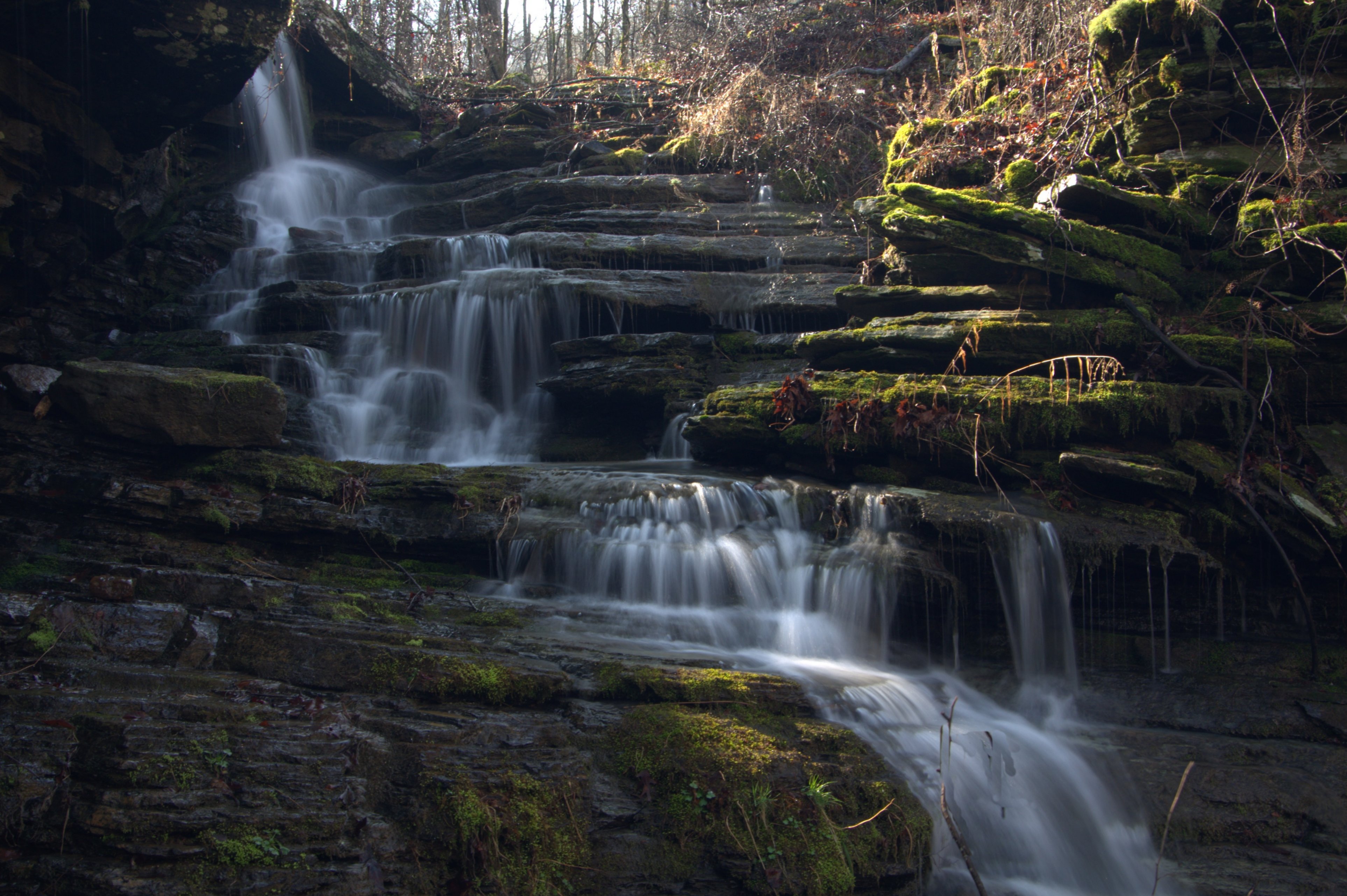 WF #4 Page Hollow Falls 1 35.59737°, 93.06968° |
 WF #5 Page Hollow Falls 2 35.59721°, 93.06979° |
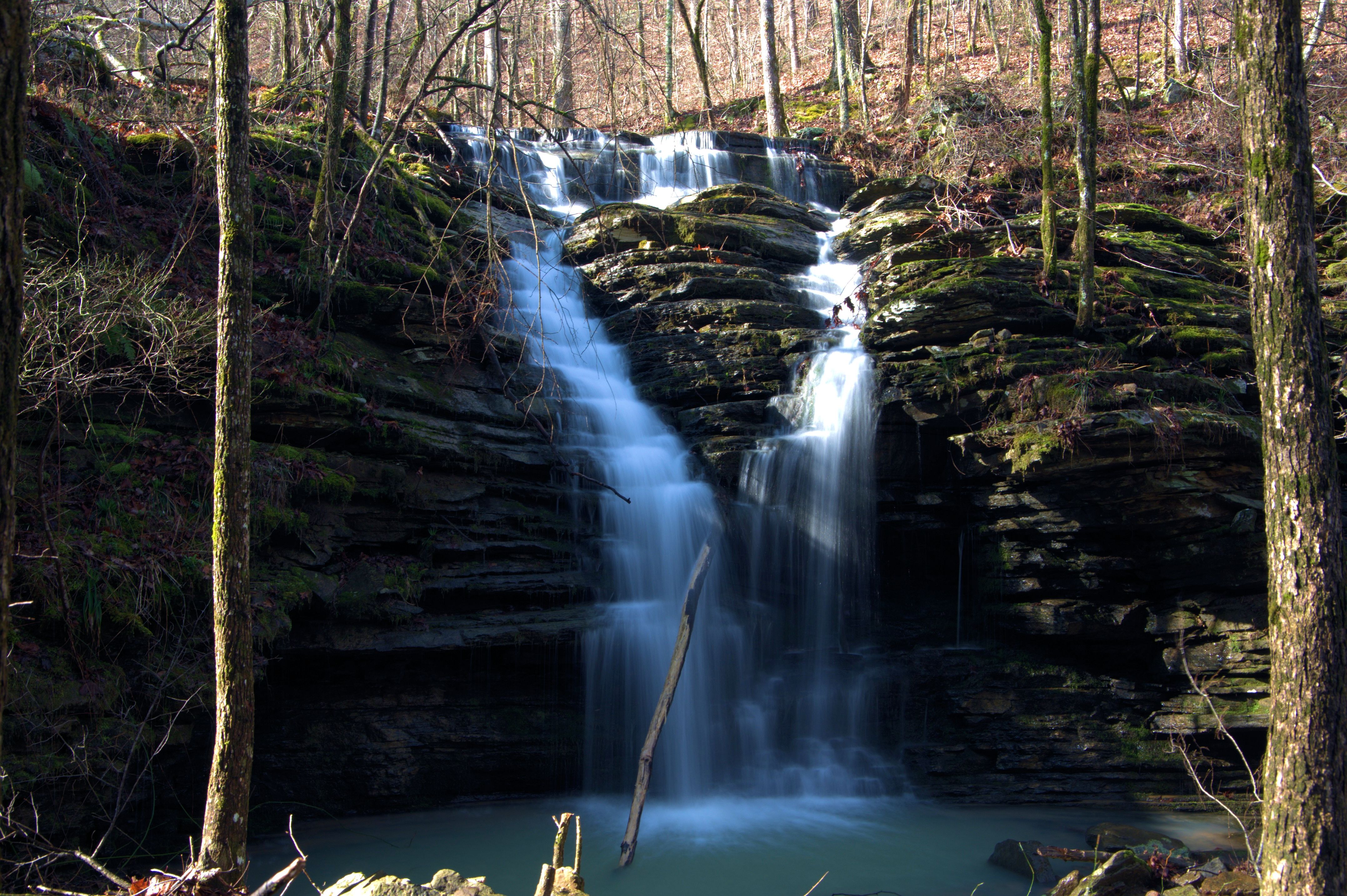
 WF #6 35.59866°, 93.07025° |
 WF #7 35.59893°, 93.07000° |
 WF #8 35.59907°, 93.06966° |
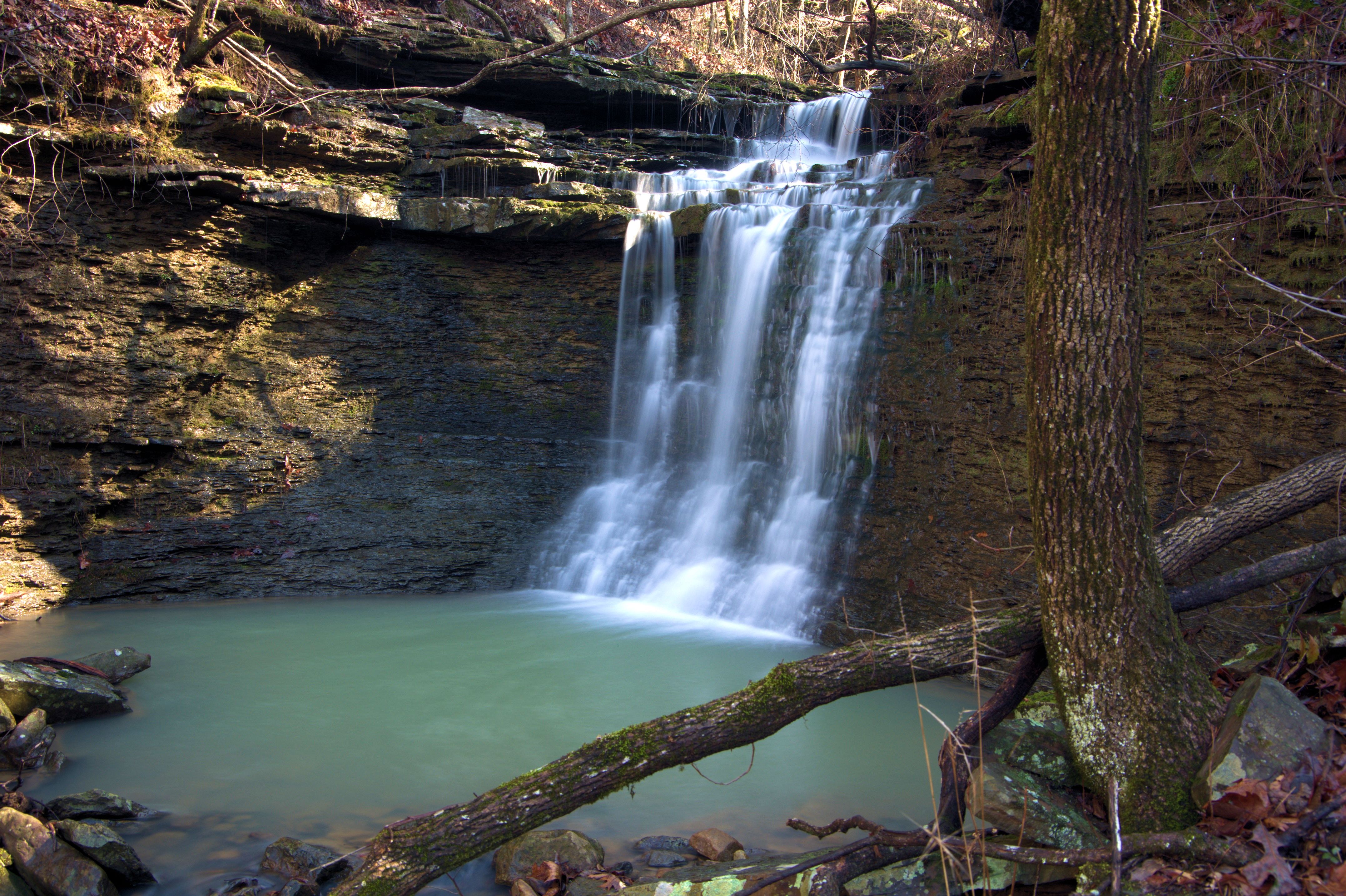
 WF #14 35.60272°, 93.08386° |
 WF #15 35.60309°, 93.09202° |
 WF #16 35.60250°, 93.09204° |
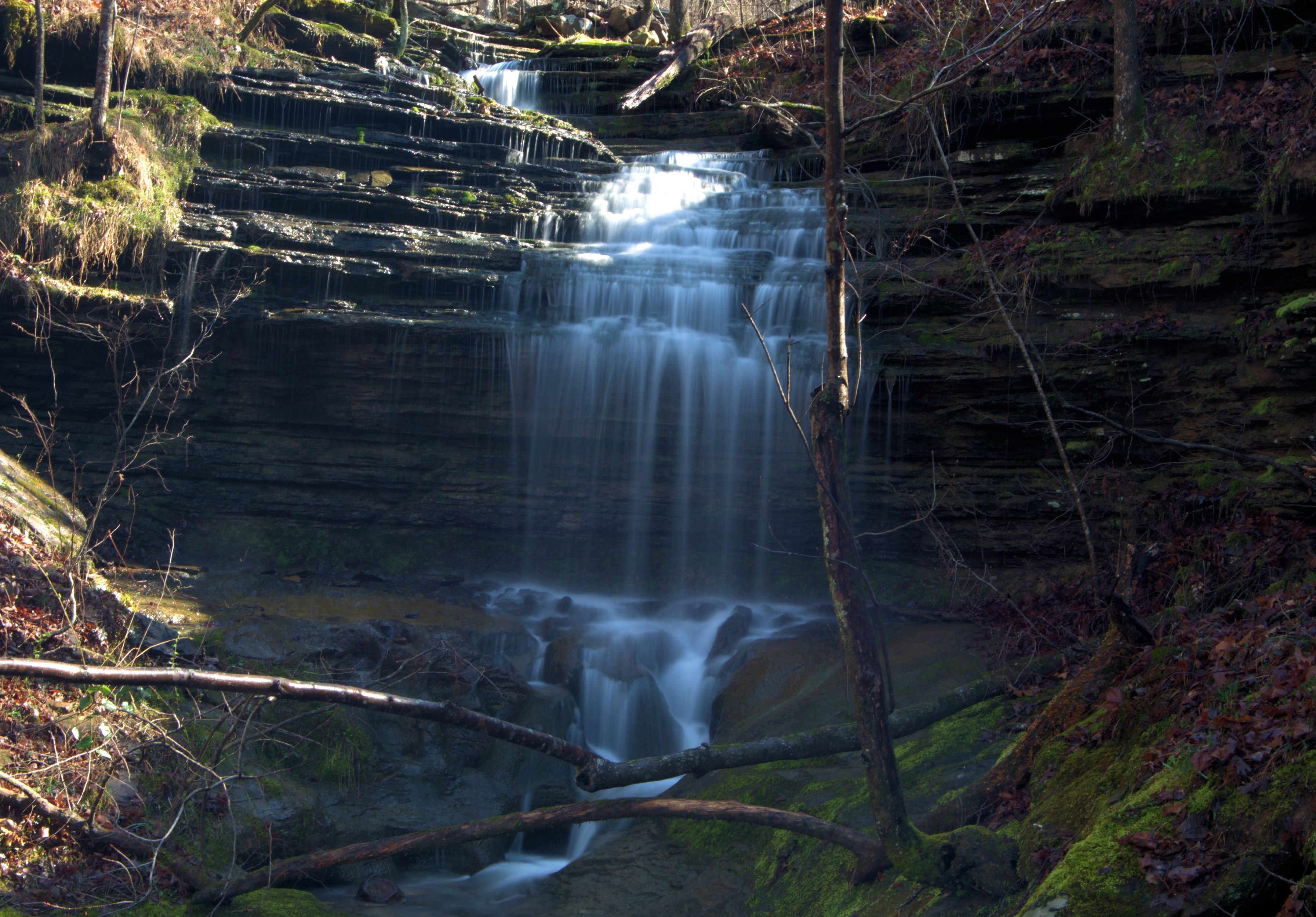
 WF #18 35.59740°, 93.10069° |
 WF #19 35.59795°, 93.09560° |
.JPG) |