.jpg)
| TAKAHIK River Valley Hikers |
| Home Scheduled Hikes Pictures Videos Membership Links Trails & Waterfalls Products In Memory Of Scholarships |
| PAYNE HOLLOW |
Most of the waterfalls in Payne Hollow are low profile, but nice!
UNDER CONSTRUCTION
.jpg) Highway 7 and Victor Road |
 Victor Road and FR 1000A 35.64391°, 93.00673° |
 Parking Area "A" at Brock Cemetery 35.63876°, 93.00341° |
| NORTH PRONG OF PAYNE HOLLOW | ||
 Access Point "C" 35.63878°, 93.00377° |
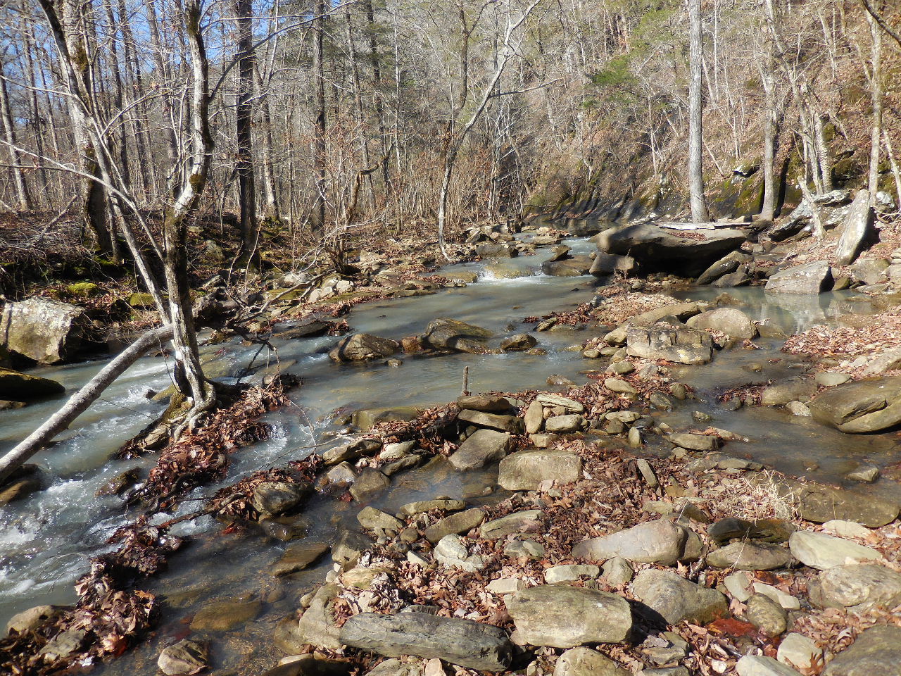 Access Point "D" Entrance to Payne Hollow 35.64210°, 93.00800° |
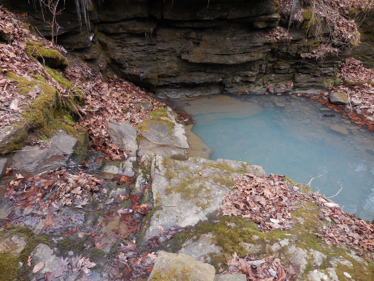
 WF #1 35.64385°, 93.01015° |
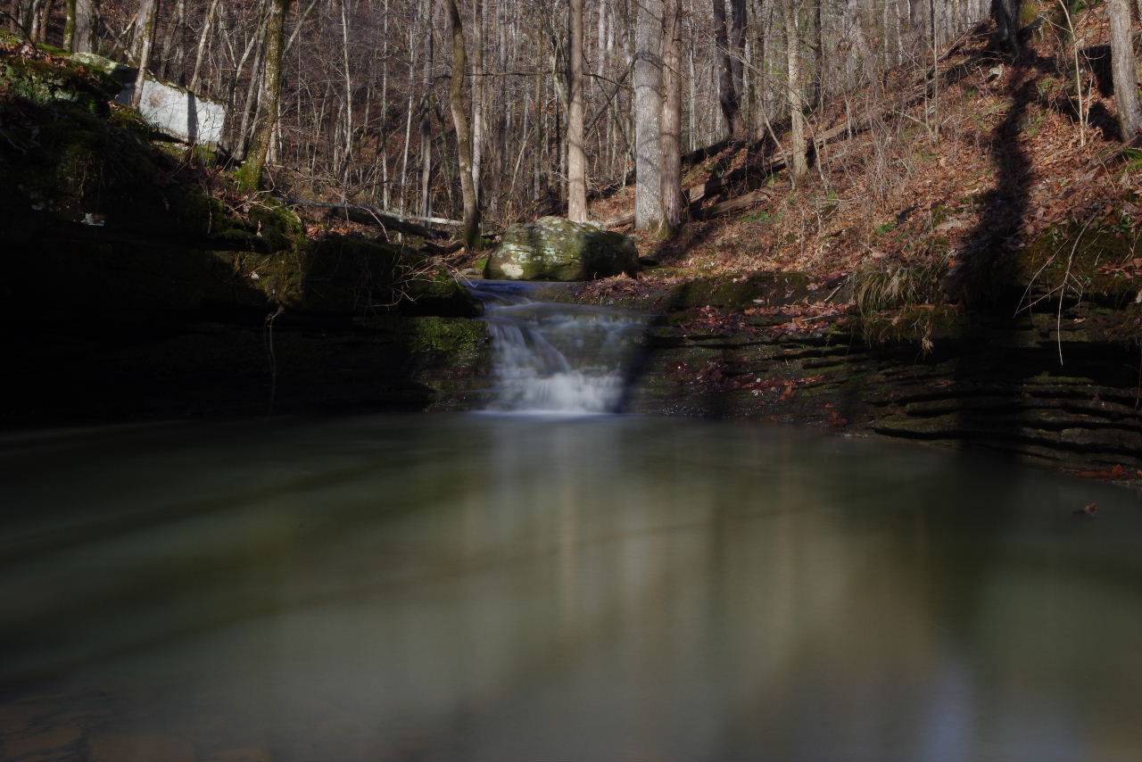
 WF #2 Cascade 35.64435°, 93.01093° |
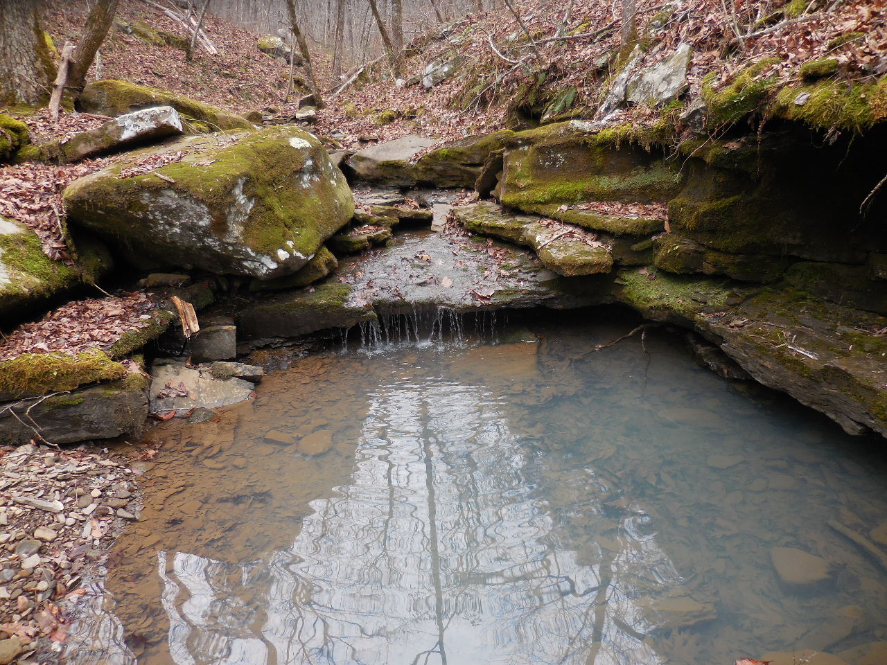
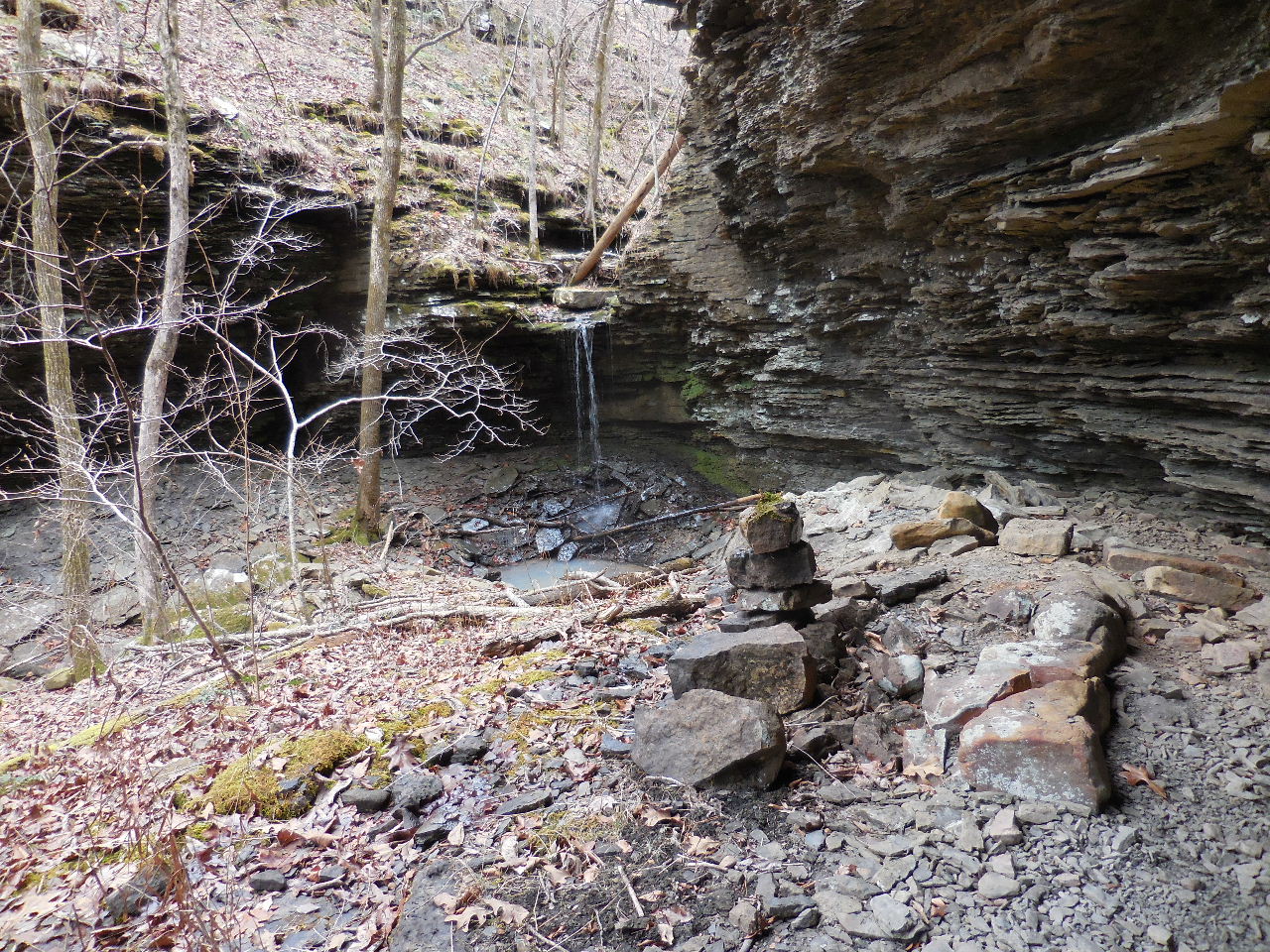
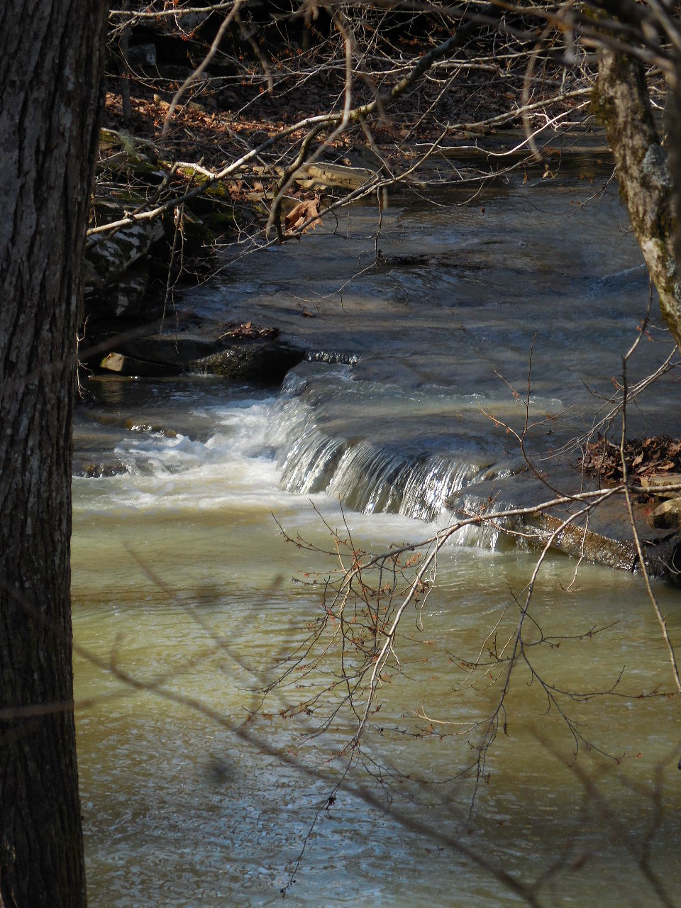
.JPG) WF #3 North Prong Payne Hollow Falls 35.64574°, 93.01161° |
 WF #4 35.64825°, 93.01536° |
 WF #5 35.64832°, 93.01600° |
 WF #6 35.64830°, 93.01707° |
 WF #7 35.64895°, 93.02161° |
| Access Point "E" Intersection of FR 93192A and Access Route 35.65096°, 93.02215° |
Parking Area "B" 100' east of Access Point "E" |
Access Point "F" FR 93192A & Victor Road 35.65347°, 93.01522° |
| PAYNE HOLLOW | ||
|
Access Point "D" Entrance to Payne Hollow 35.64214°, 93.00800° |
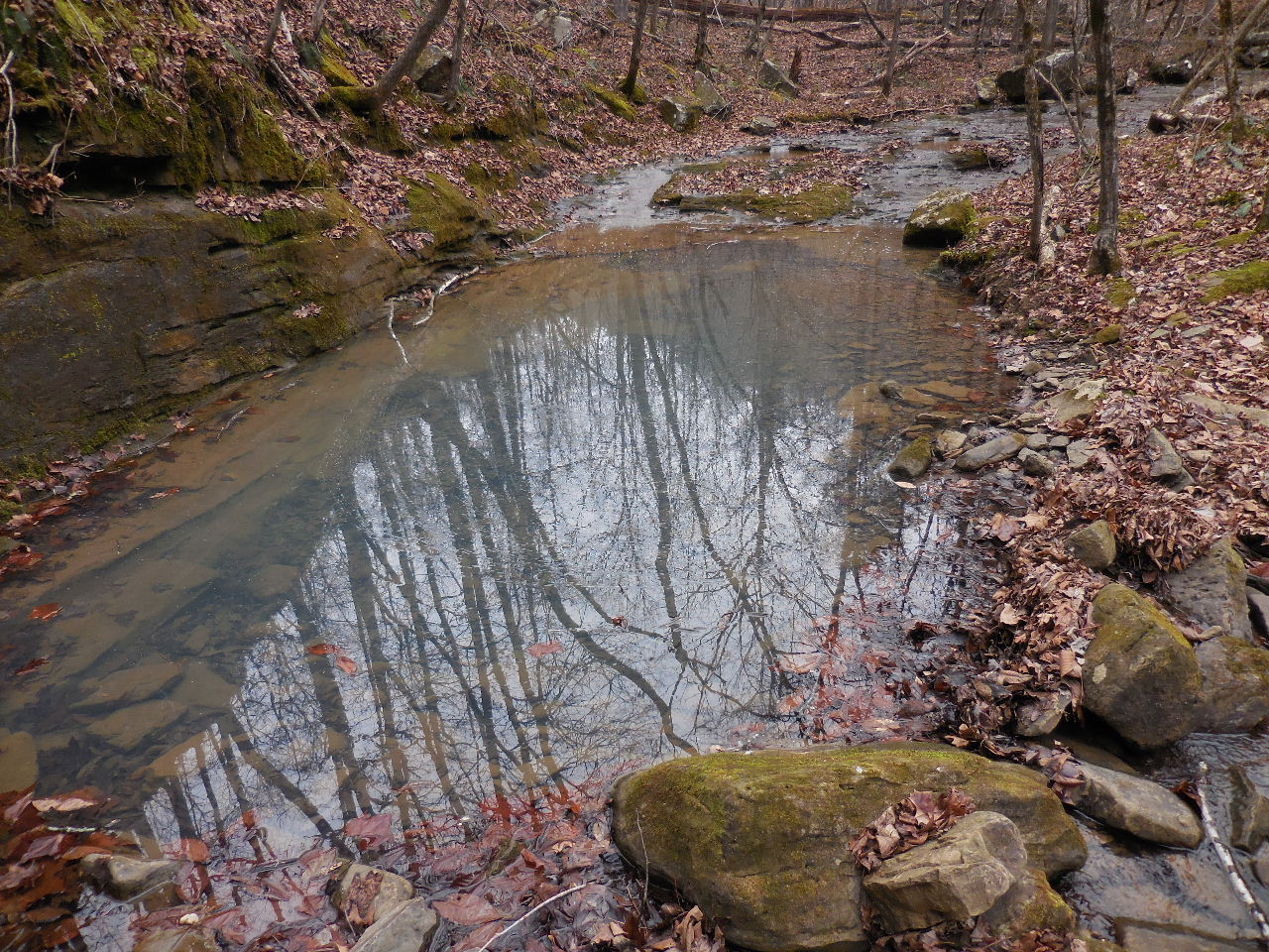
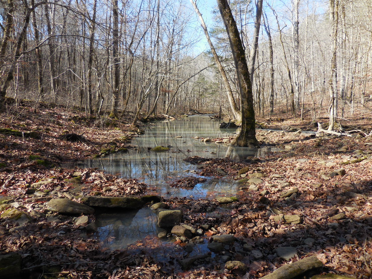 Looking west up Payne Hollow |
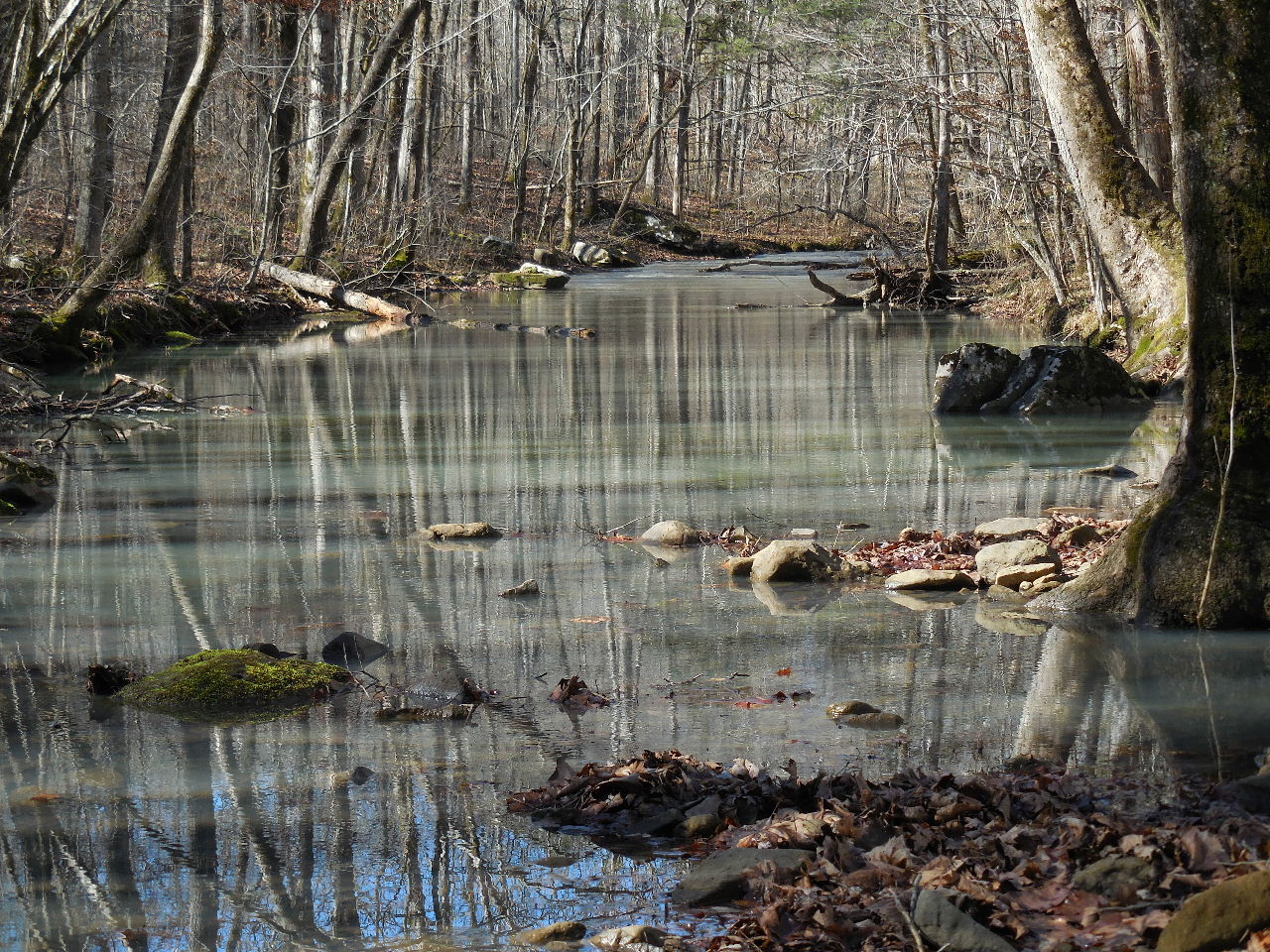 More of Payne Hollow |
.JPG) WF #7 Payne Hollow Falls 35.64115°, 93.02185° |
.JPG) WF #8 Upper Payne Hollow Falls 35.64108°, 93.02200° |
 WF #9 35.64218°, 93.02695° |
 WF #10 Payne Hollow Slot Falls 35.64271°, 93.02784° |
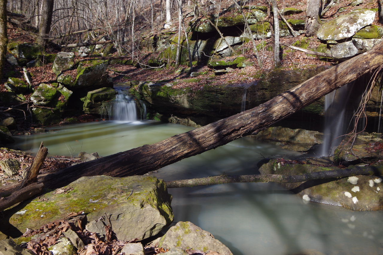
.JPG) WF #11 Payne Hollow Box Slot Falls 35.64278°, 93.02896° |
|
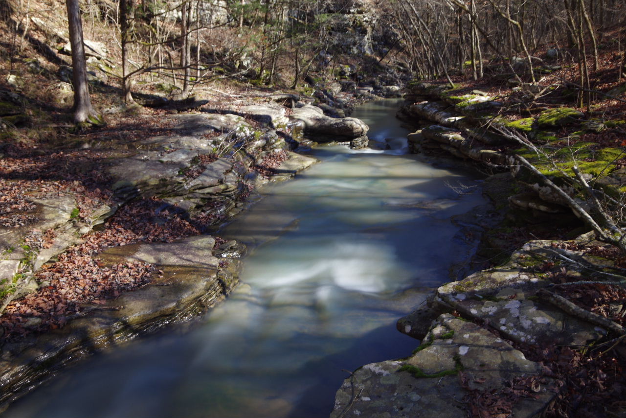
.JPG) WF #13 Payne Hollow Cascades 35.64438°, 93.03138° |
||
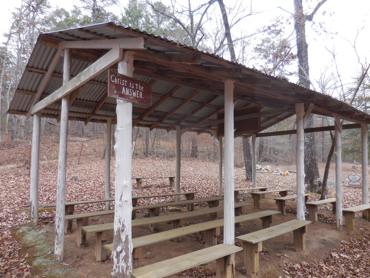
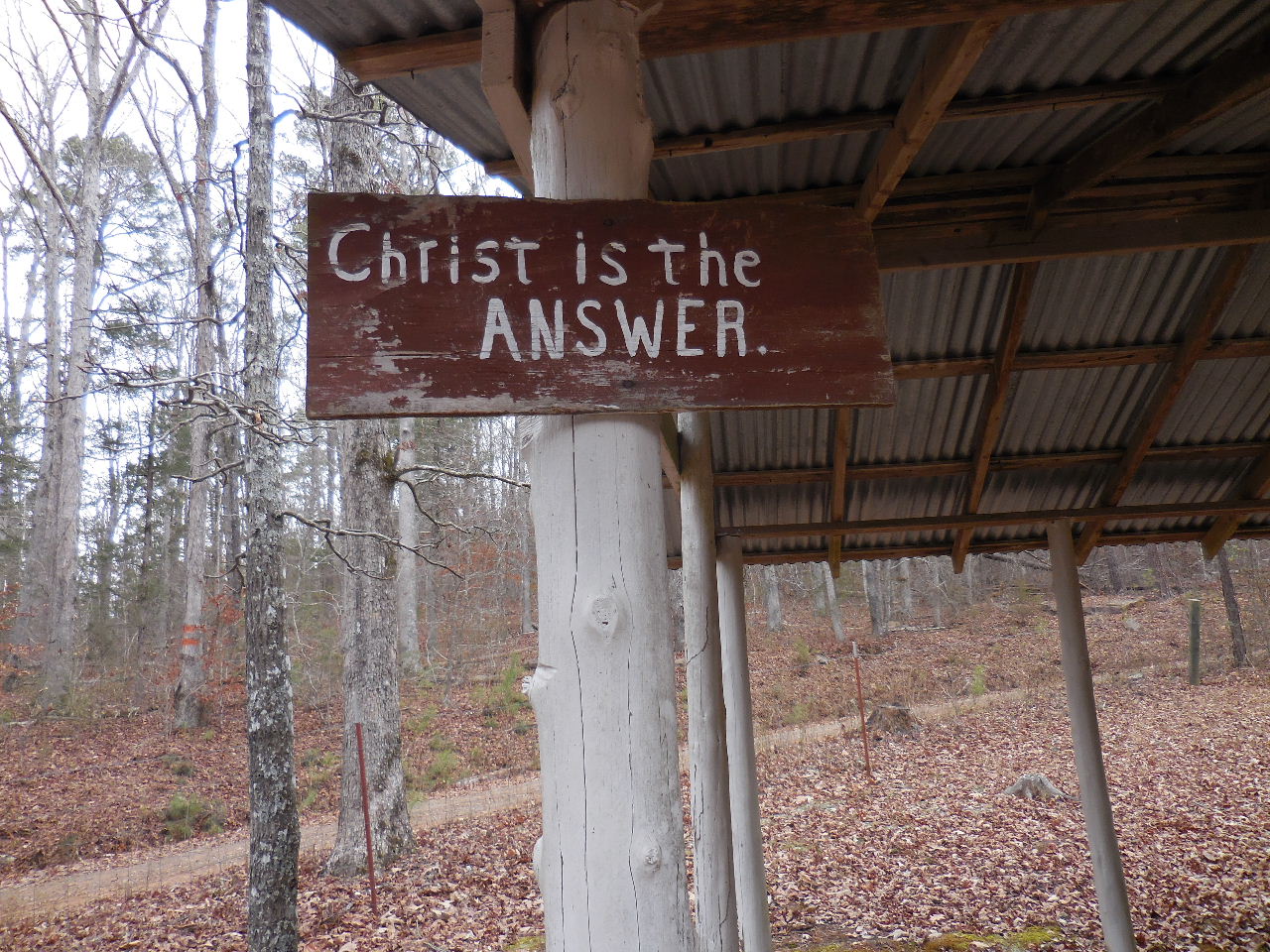
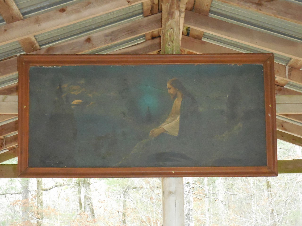
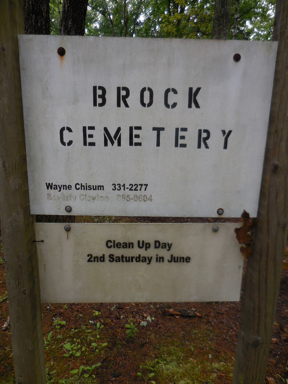
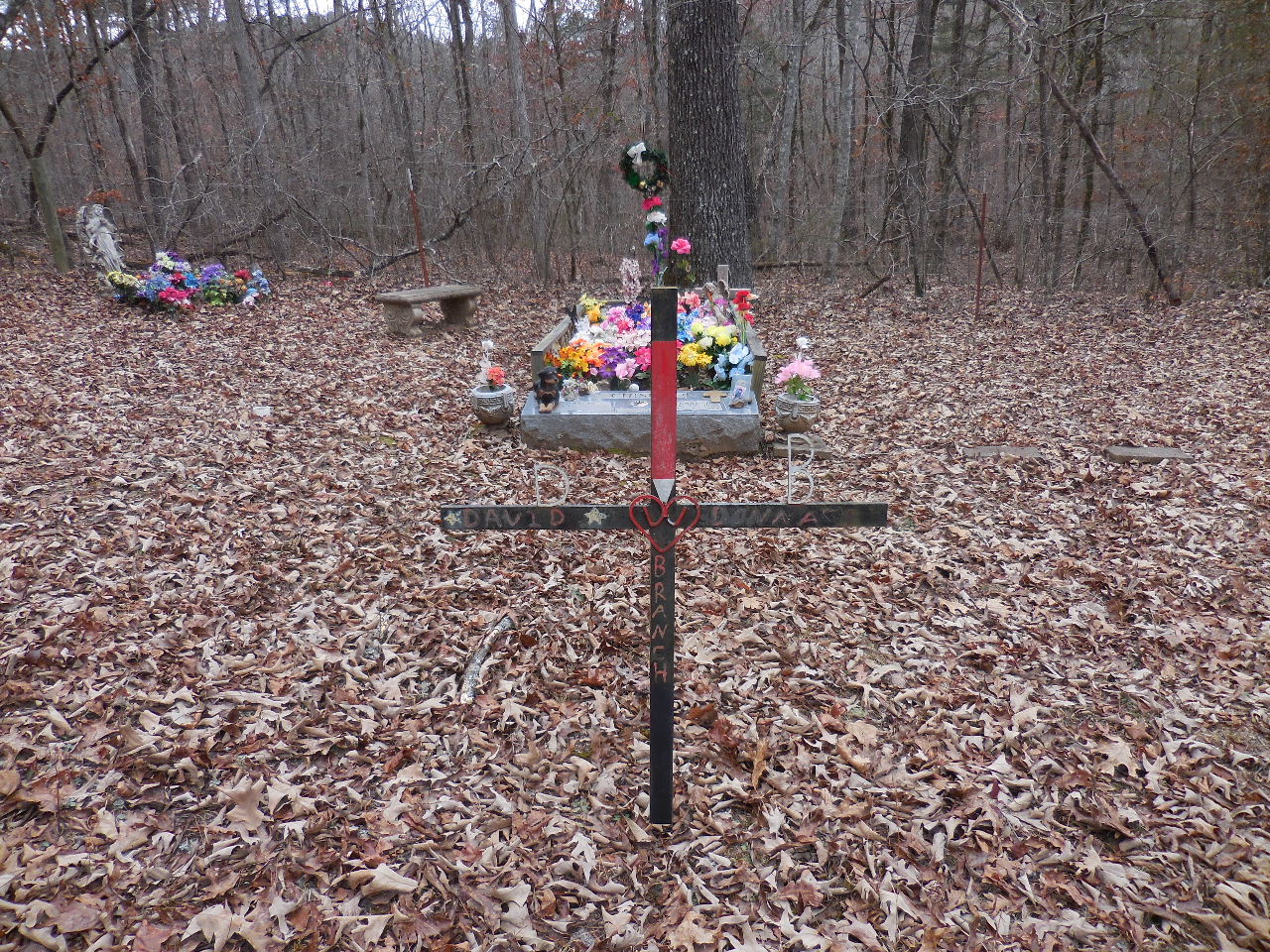
| BROCK CEMETERY |
|
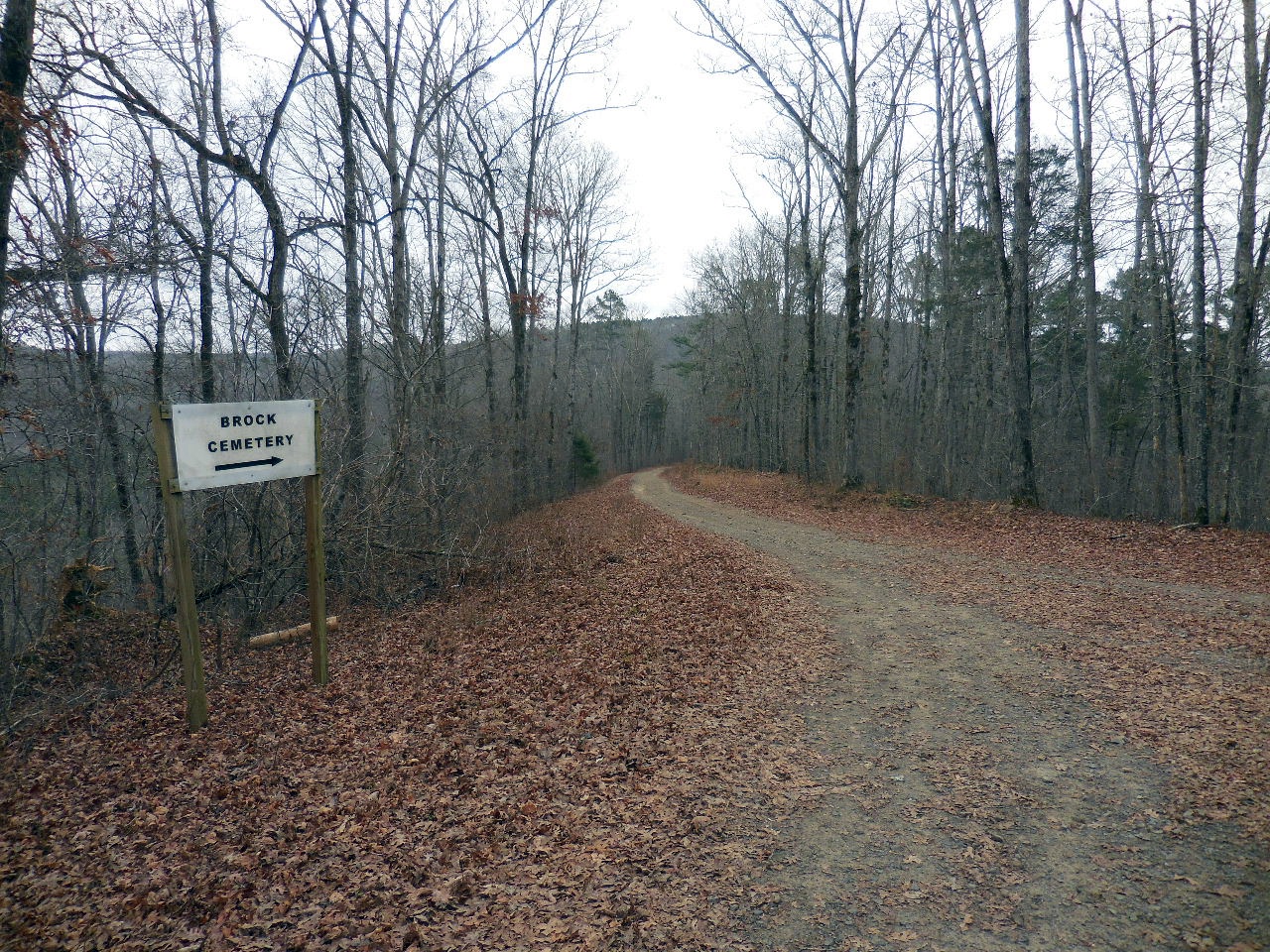
Entrance road to Brock Cemetery 35.64391°, 93.00673° 4.1 miles from Highway 7 on Victor Road |
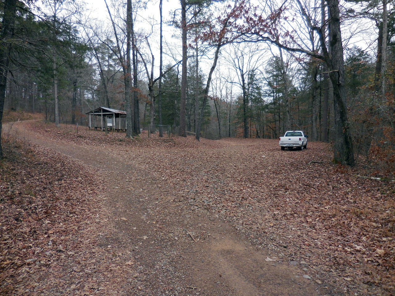
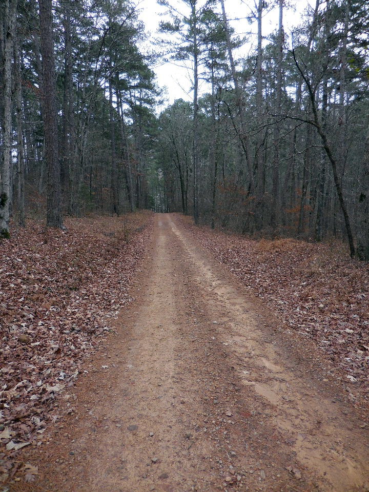 FR 1000A leading down to cemetery |
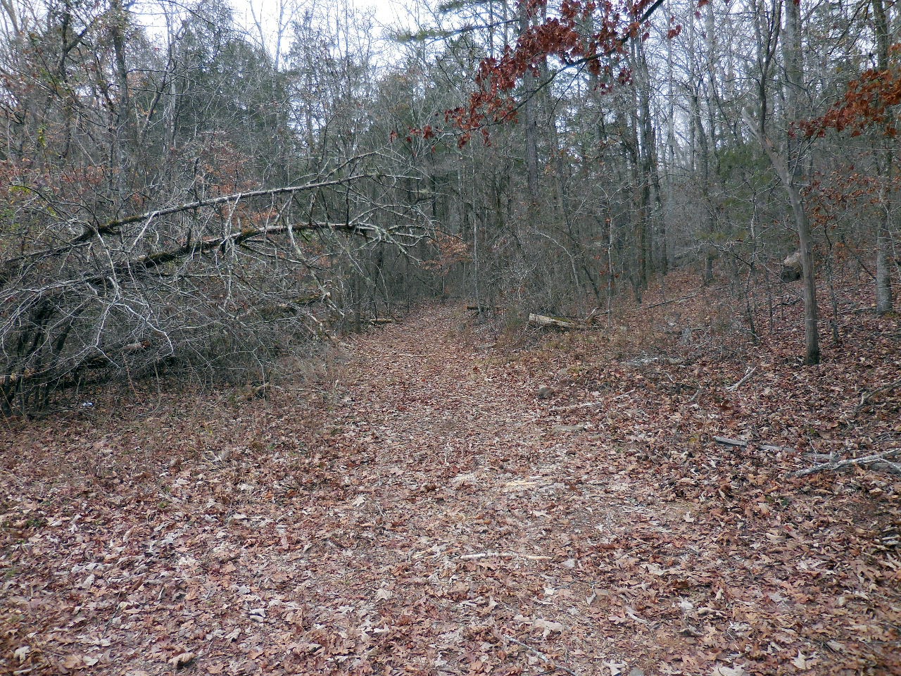
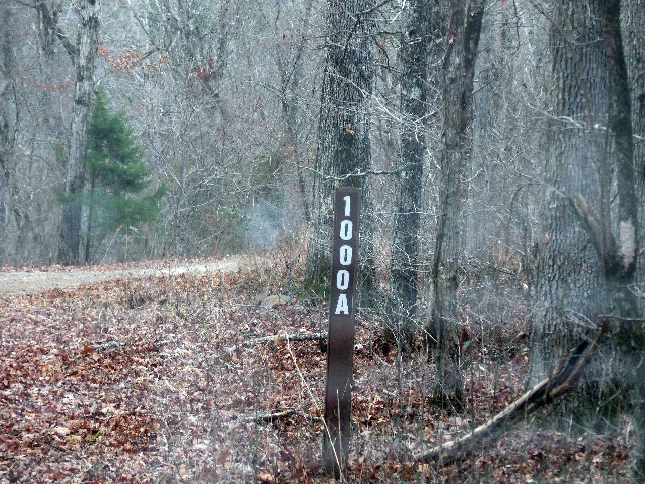 Forest Road 1000A to cemetery |
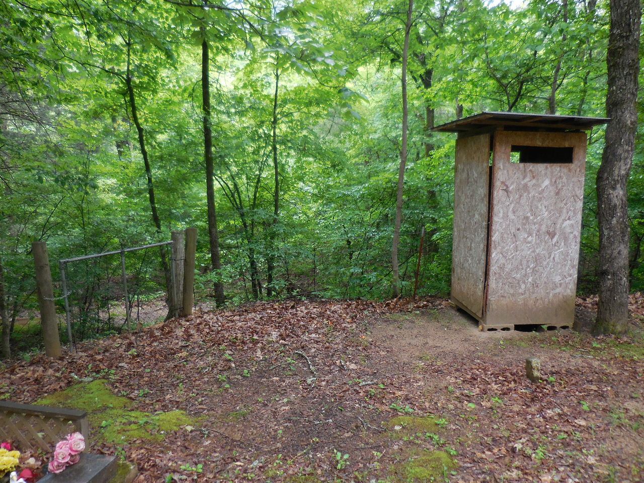
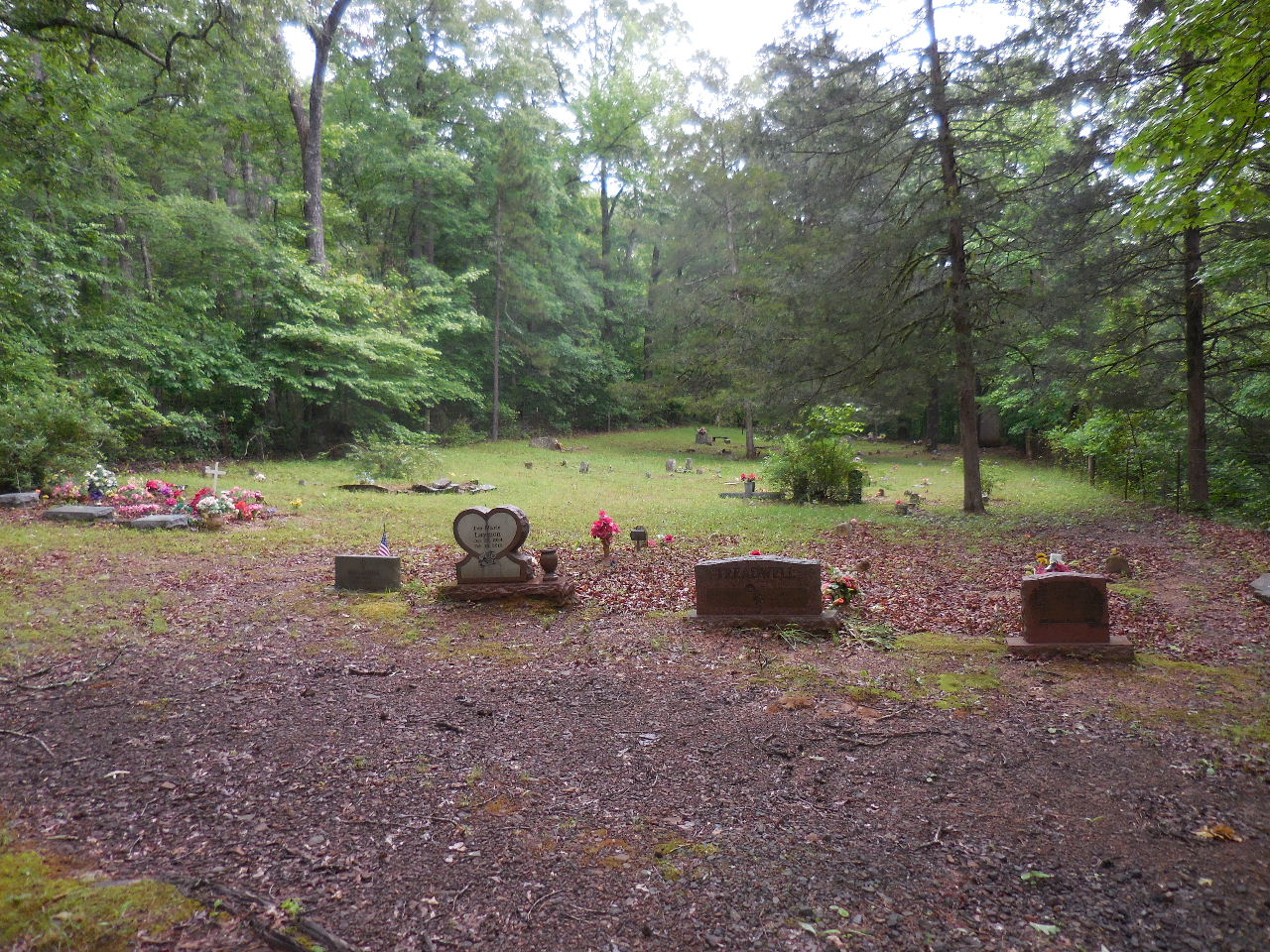
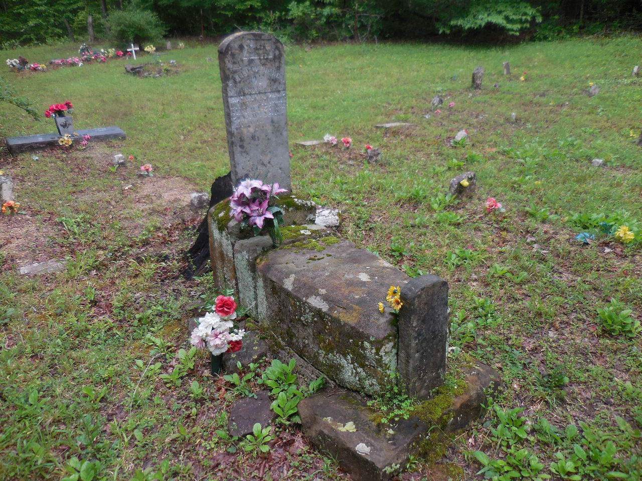
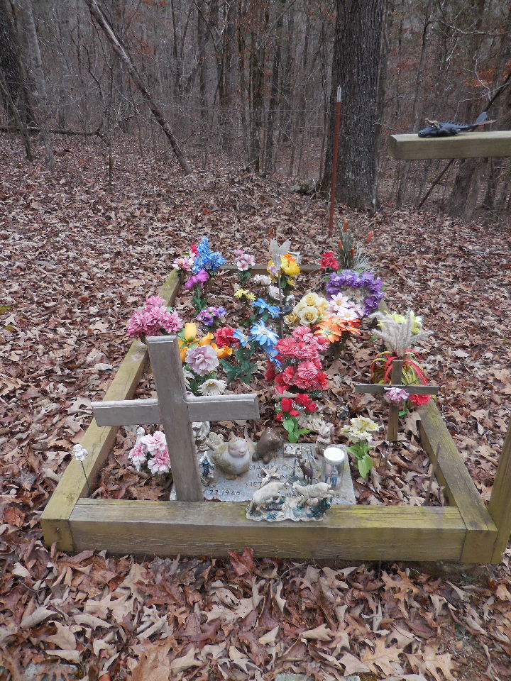
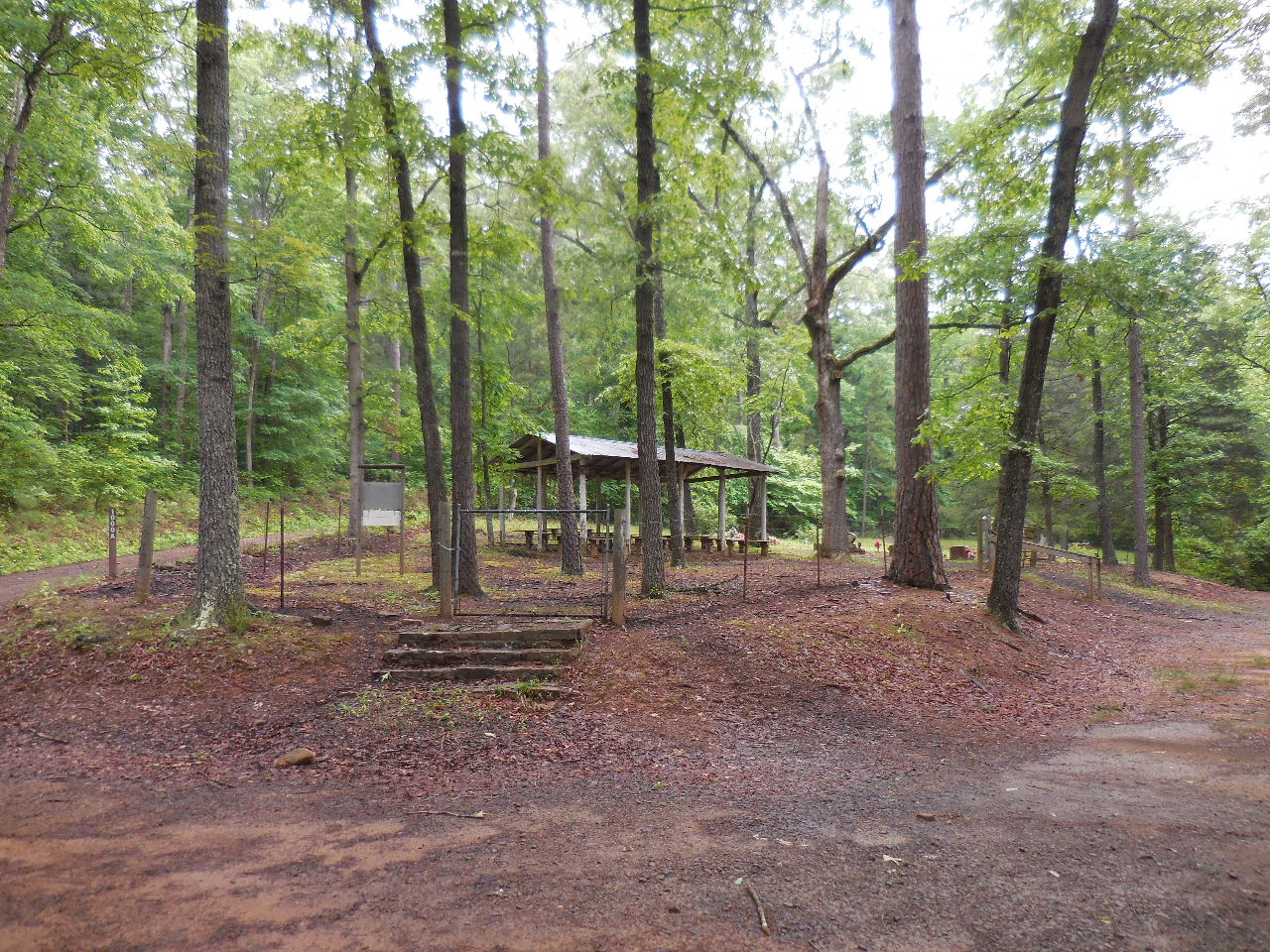 Brock Cemetery 35.63920°, 93.00272° |
 |
 |
 |
 |
 |
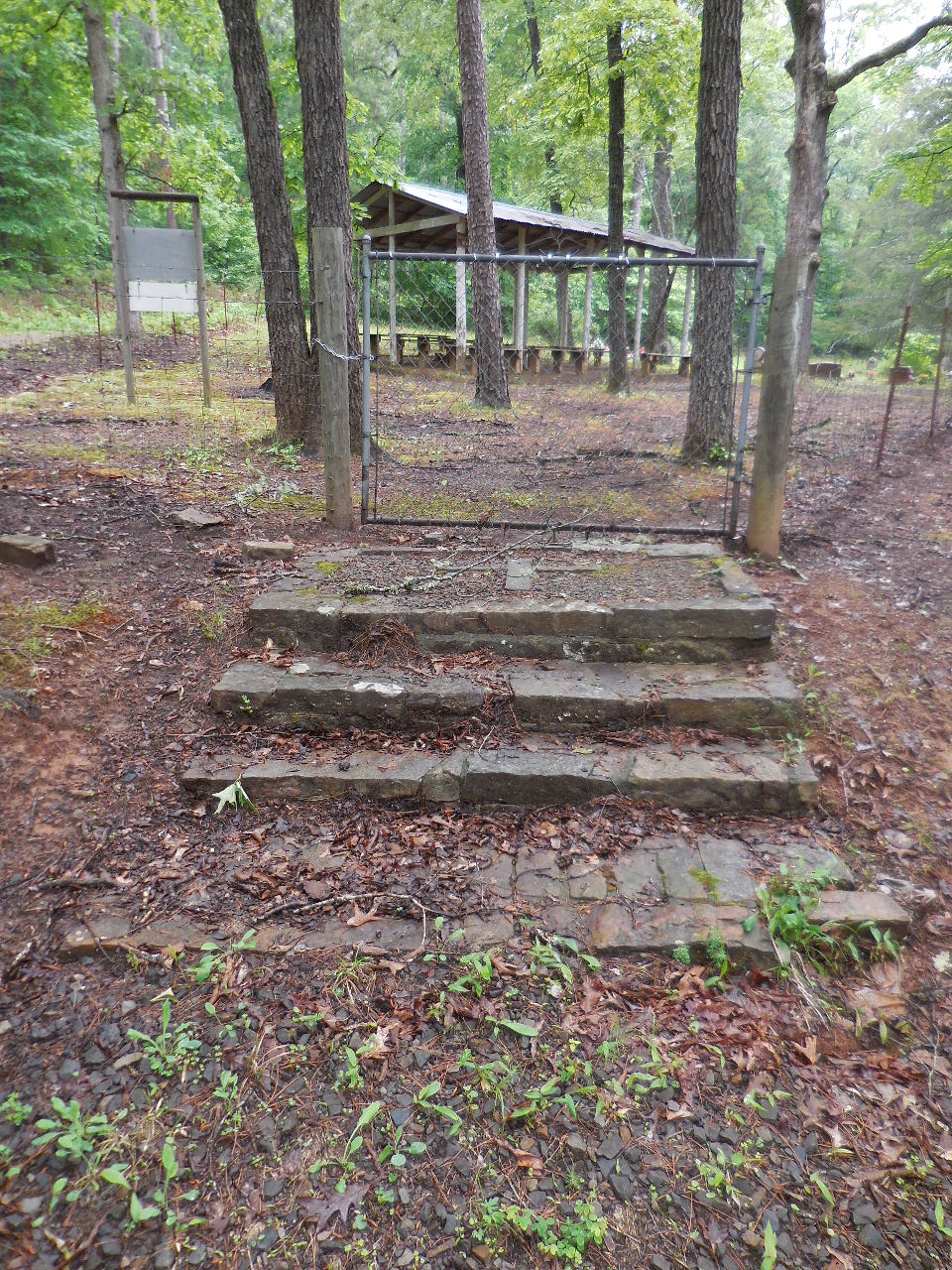
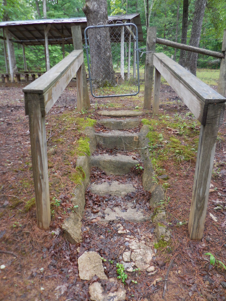 Stairs on south side |
 Looking northeast 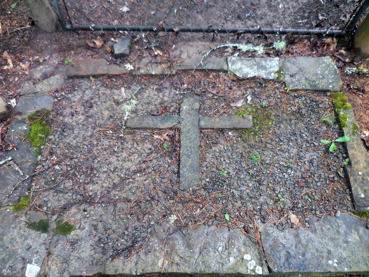 Rock cross at top of stairs |
 Stairs on west side |
 |
 |
 |