.jpg)
| TAKAHIK River Valley Hikers |
| Home Scheduled Hikes Pictures Videos Membership Links Trails & Waterfalls Mushrooms Products In Memory Of |
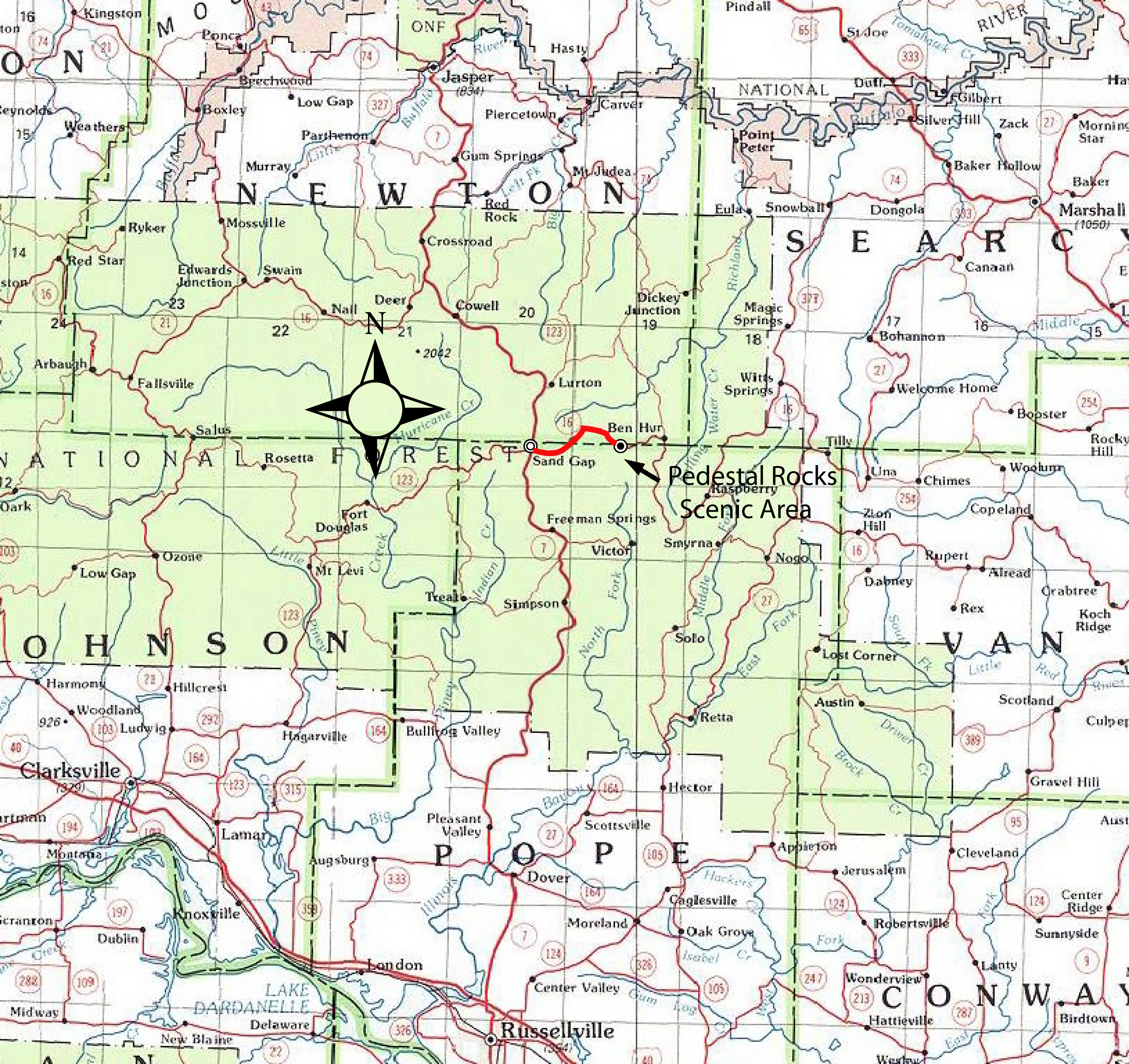
| PEDESTAL ROCKS SPECIAL INTEREST AREA |
|
|
|
|
|||||||||
|
King's Bluff Loop
(Counter Clockwise) |
|||||||||
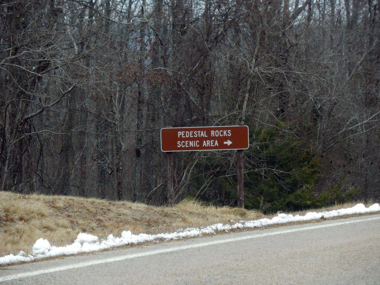 Sign on Hwy. |
 Sign on Hwy. |
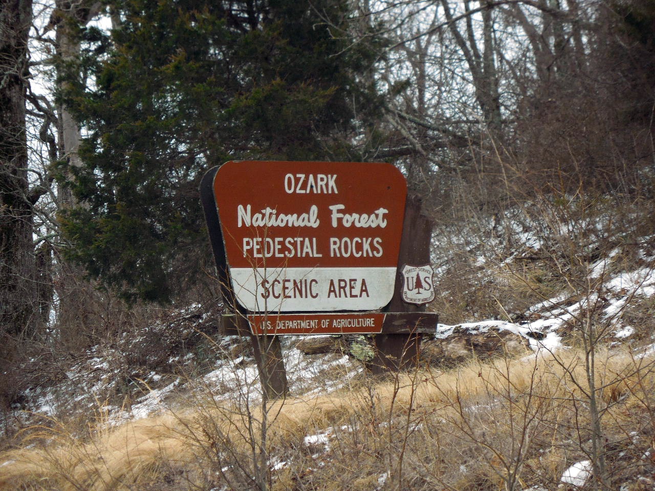
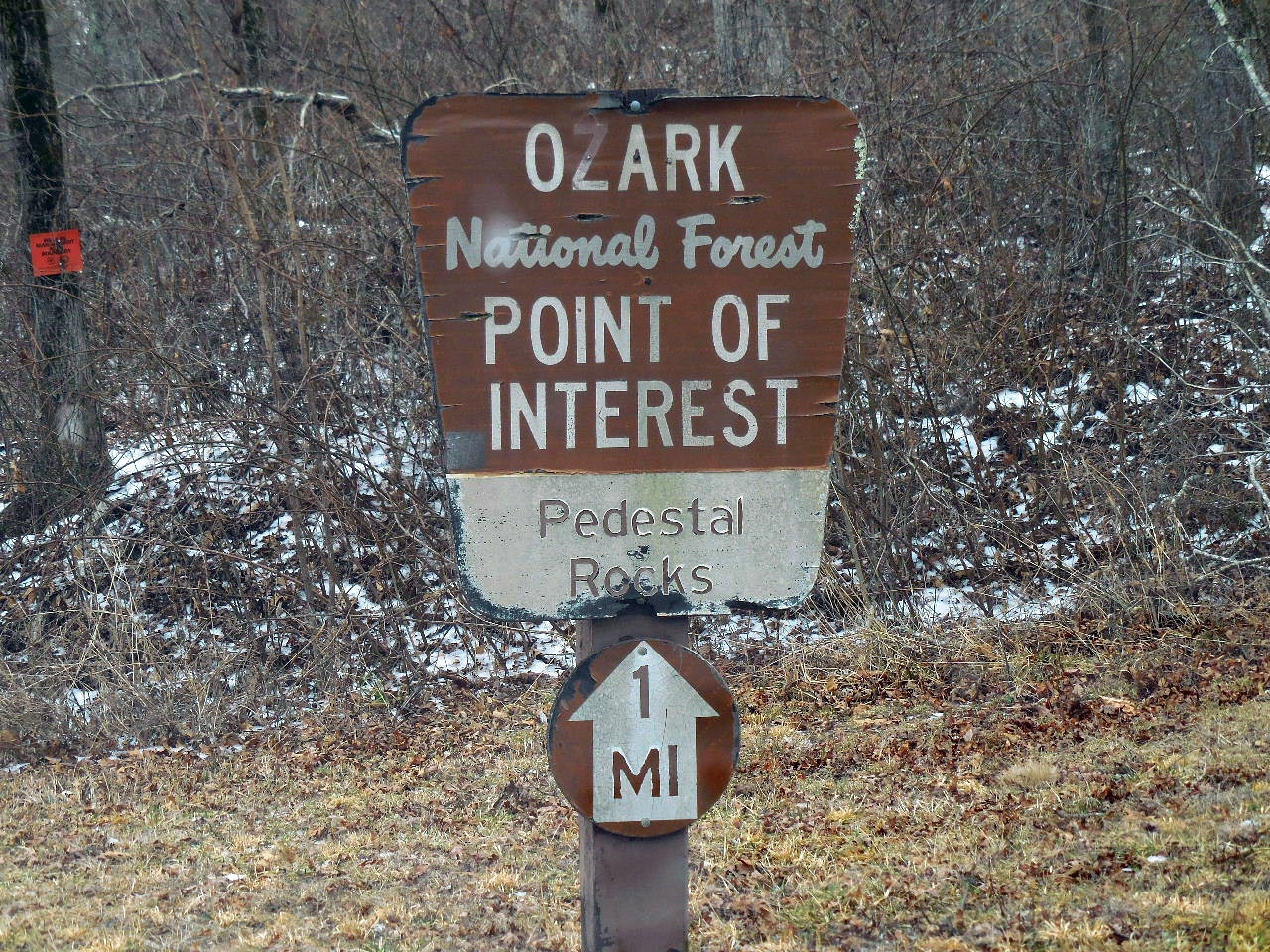 Sign at north entrance road |
|||||||
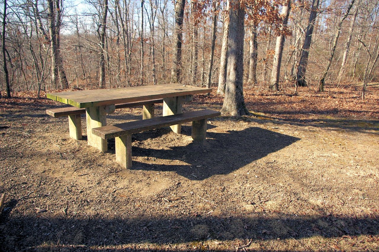 Picnic Table |
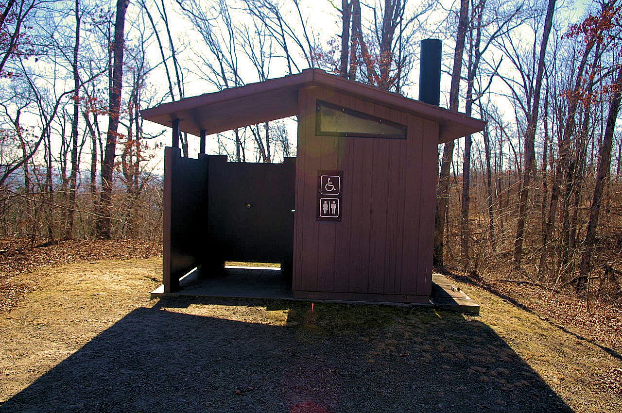 Restroom |
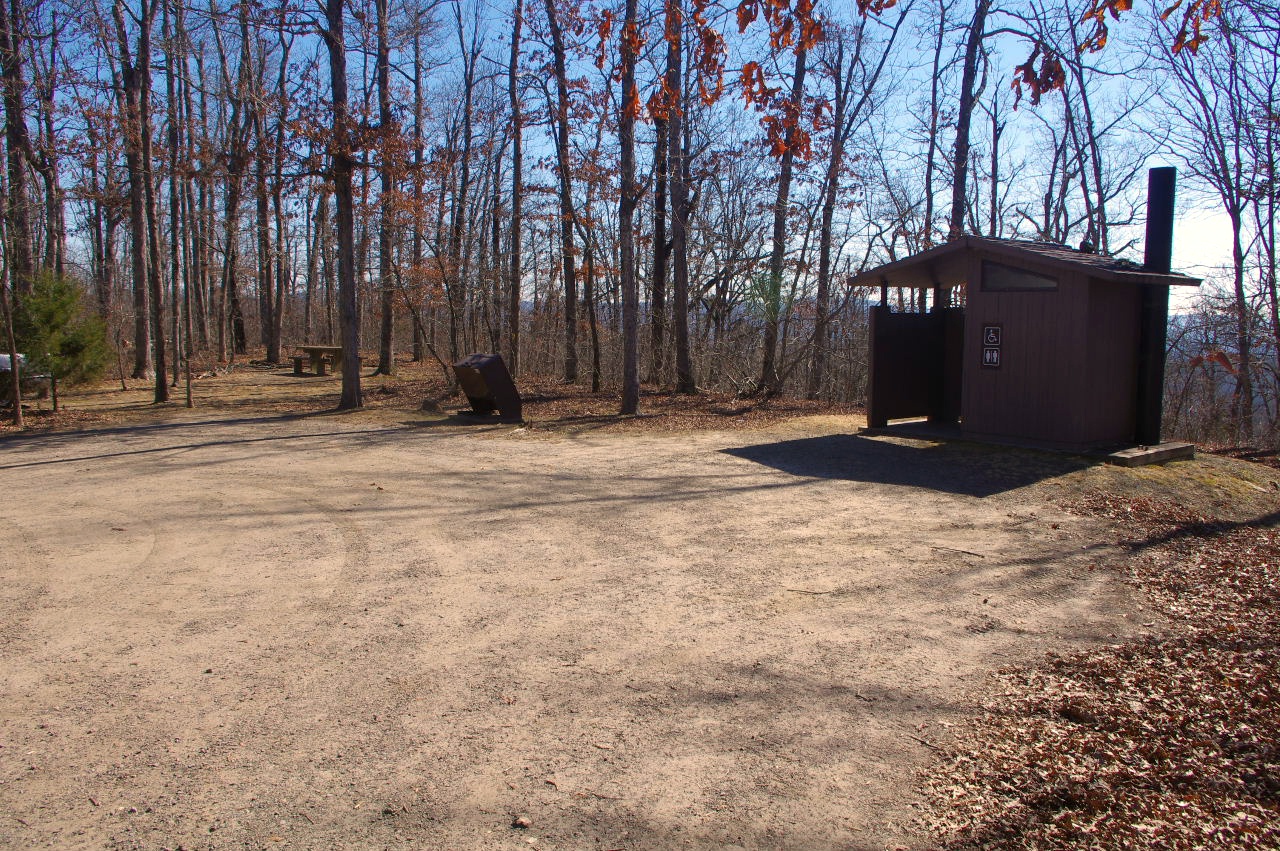 Parking Area |
|||||||
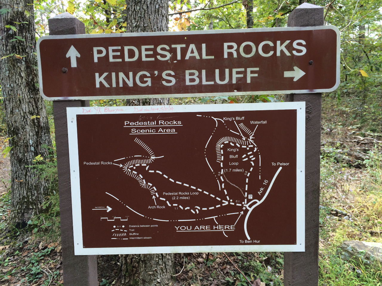
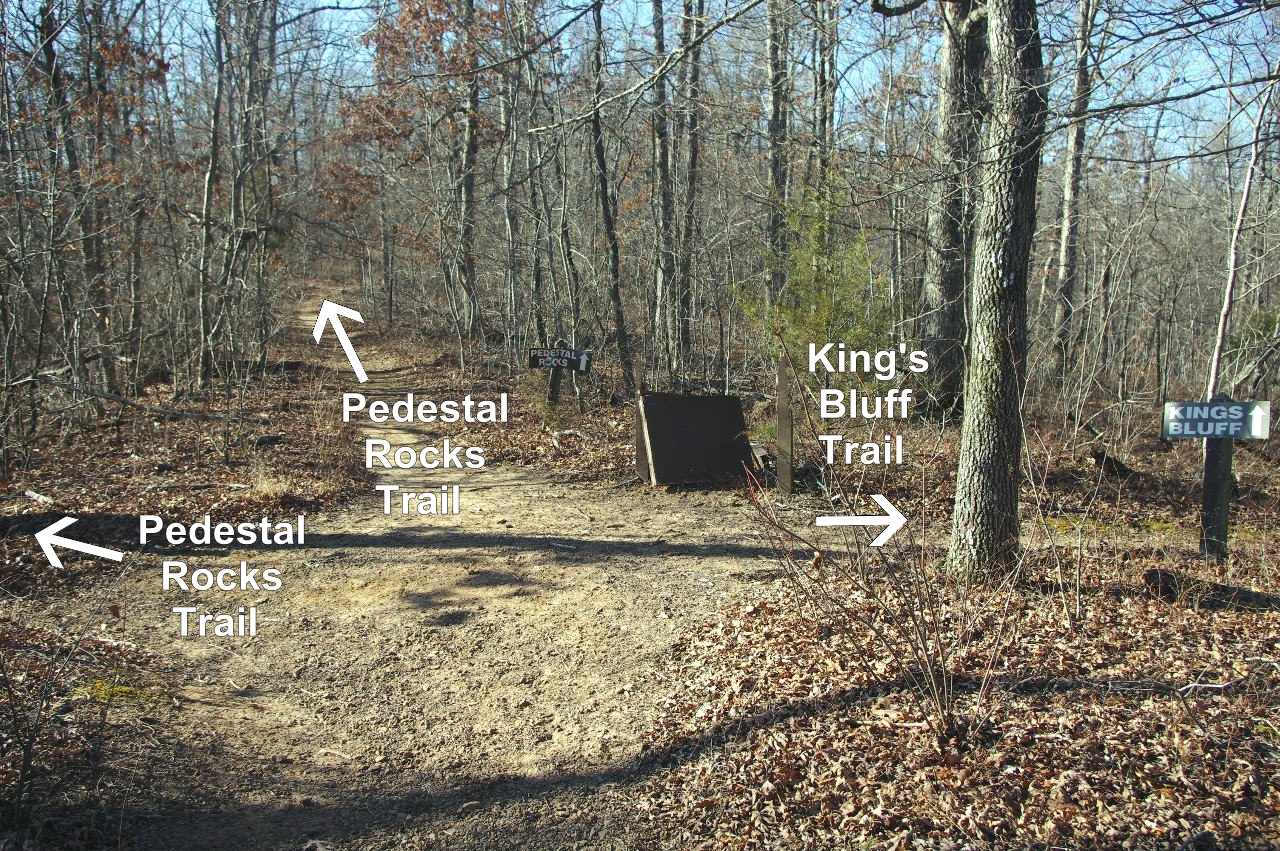
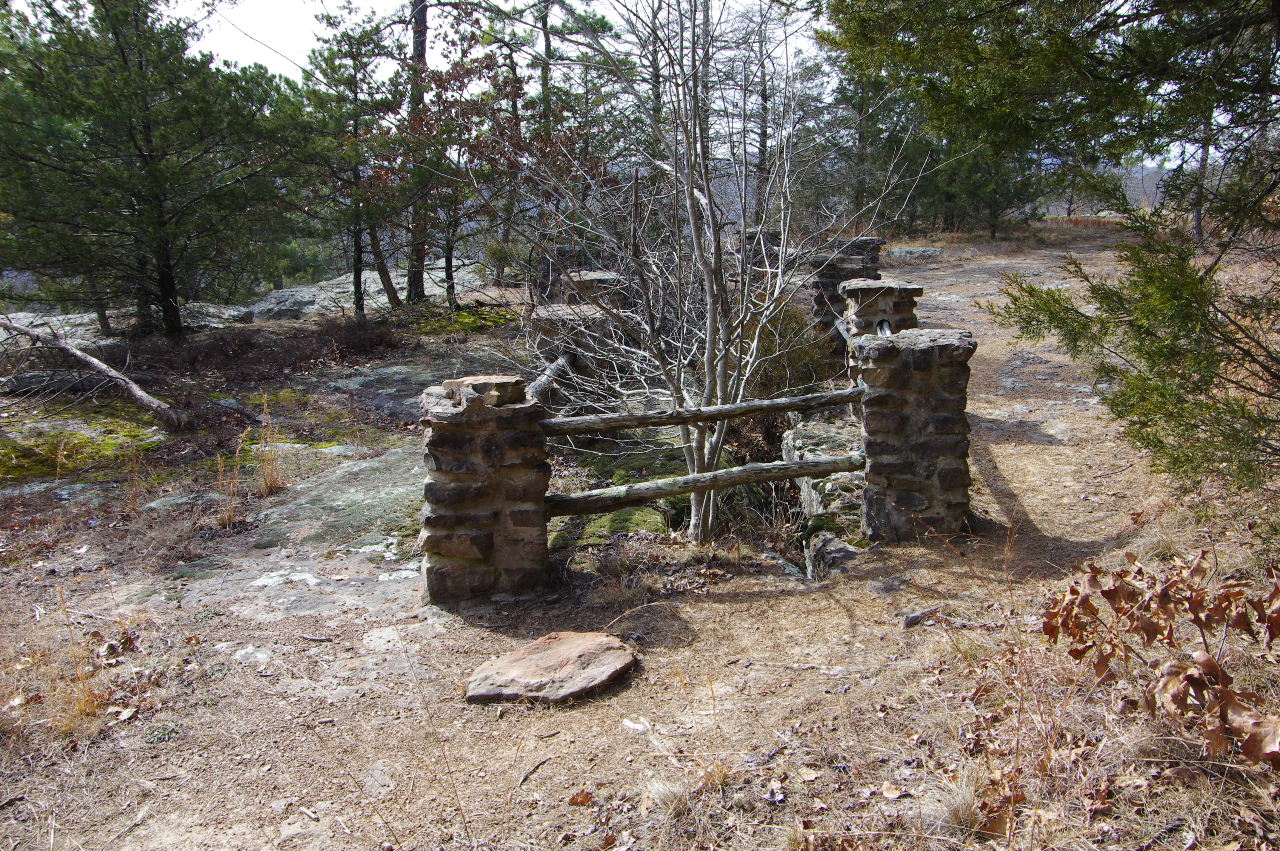
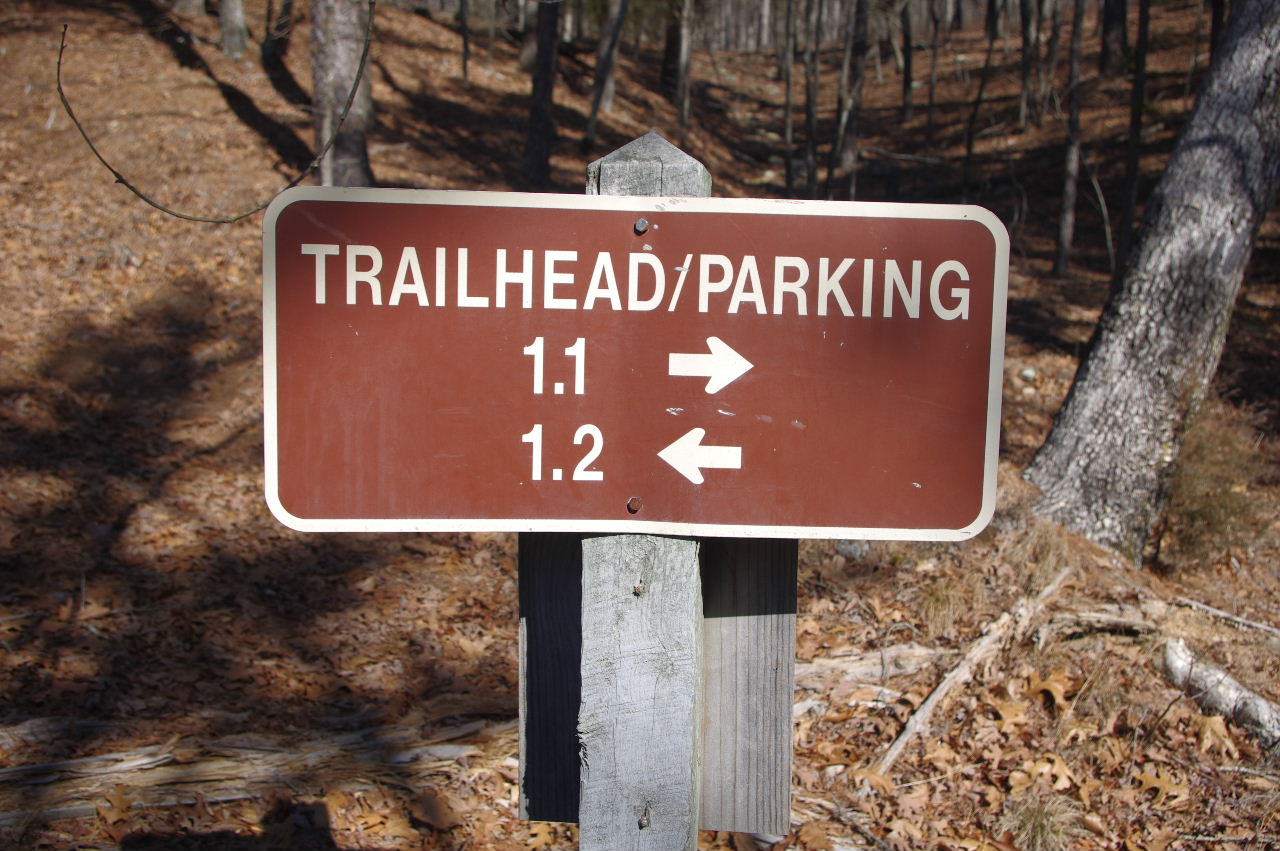
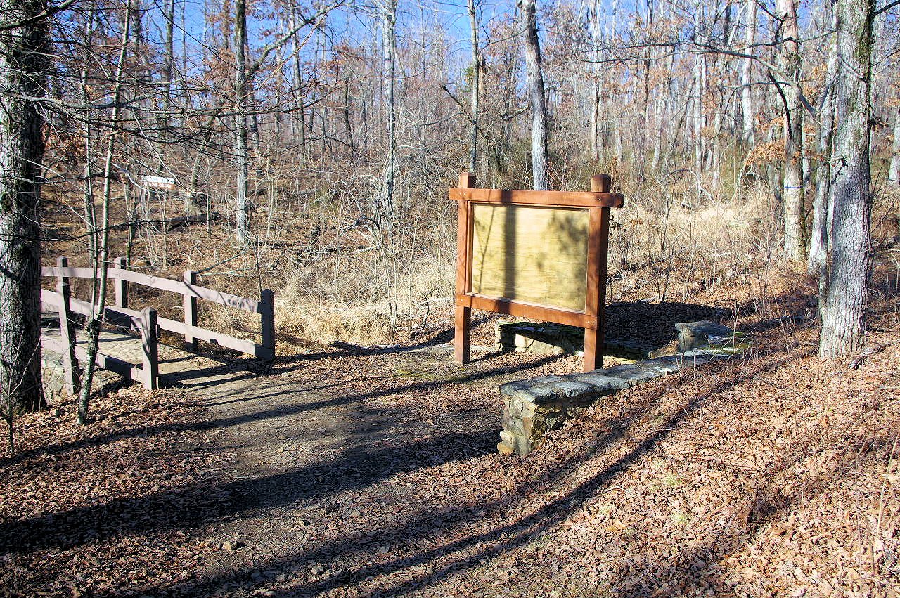 Pedestal Rocks & King's Bluff Trailhead 35.72353°, 93.01528° |
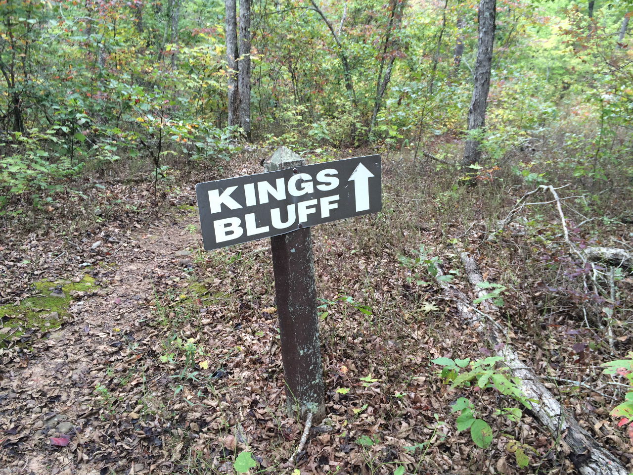
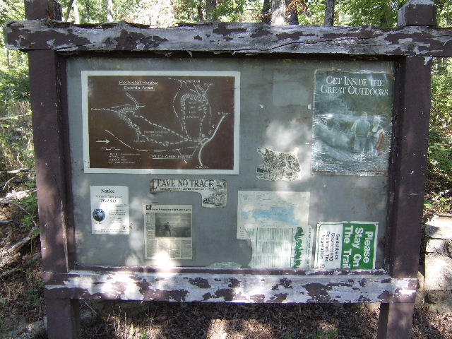 Old Trailhead Sign |
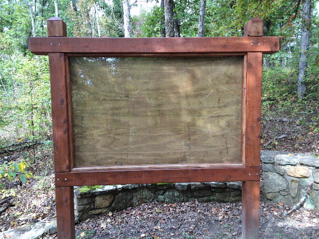 New Trailhead Sign |
|||||||
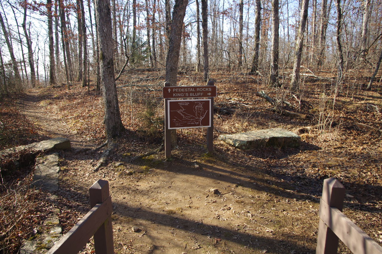 |
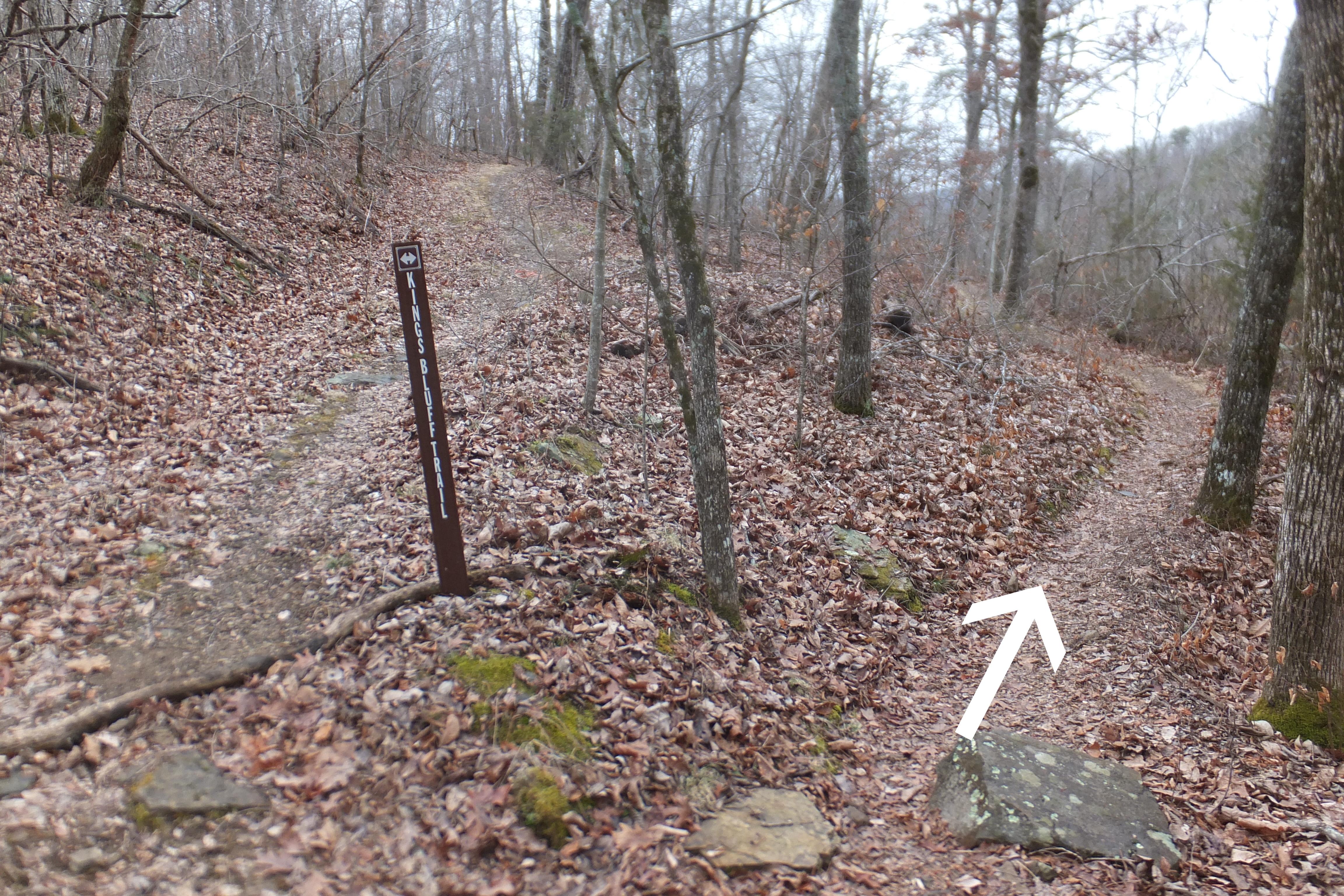
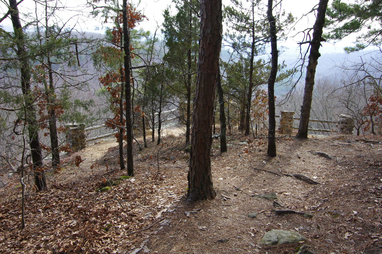
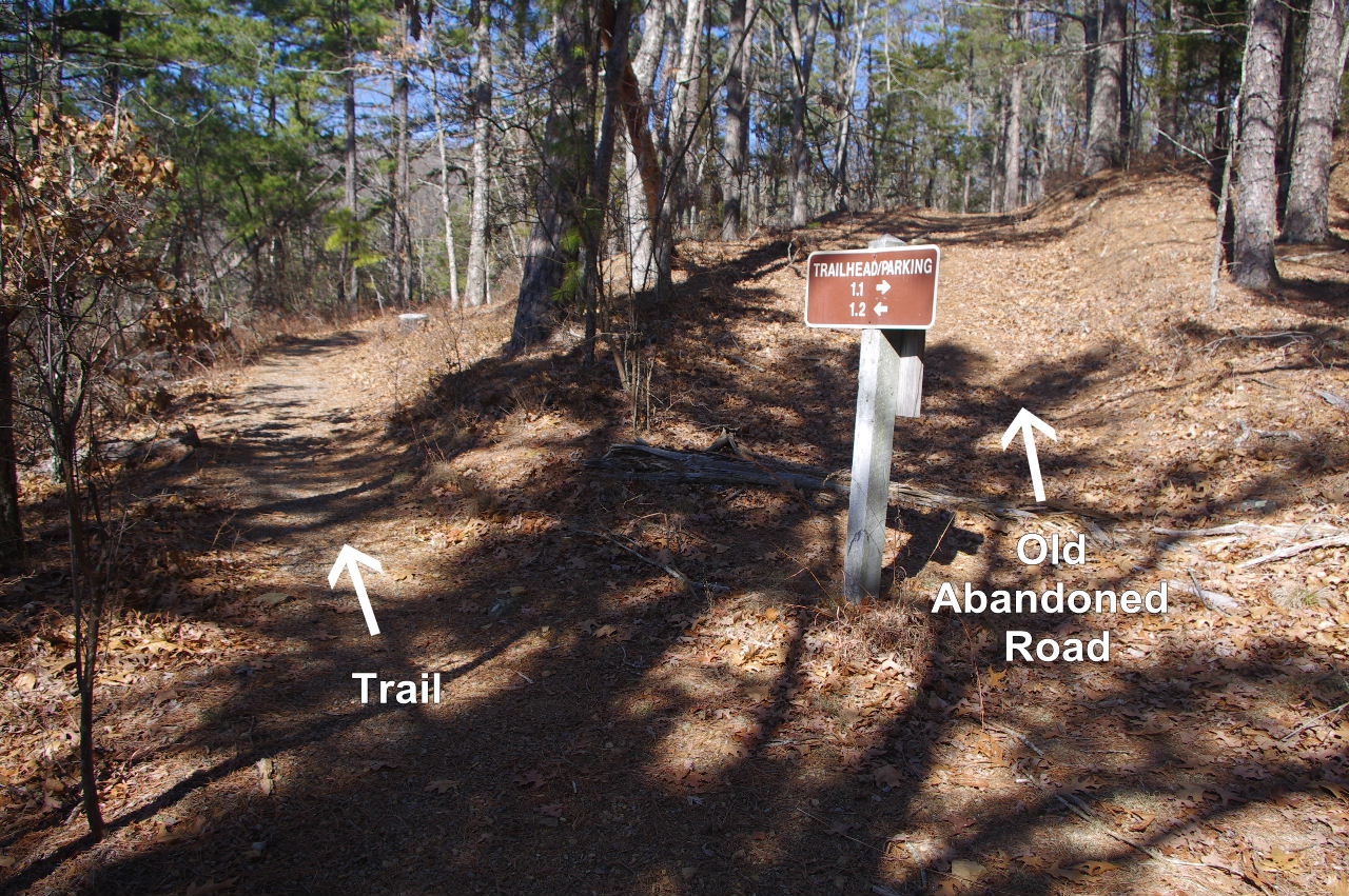
 Decision Time Sign next to Trailhead Heading for King's Bluff Loop first... |
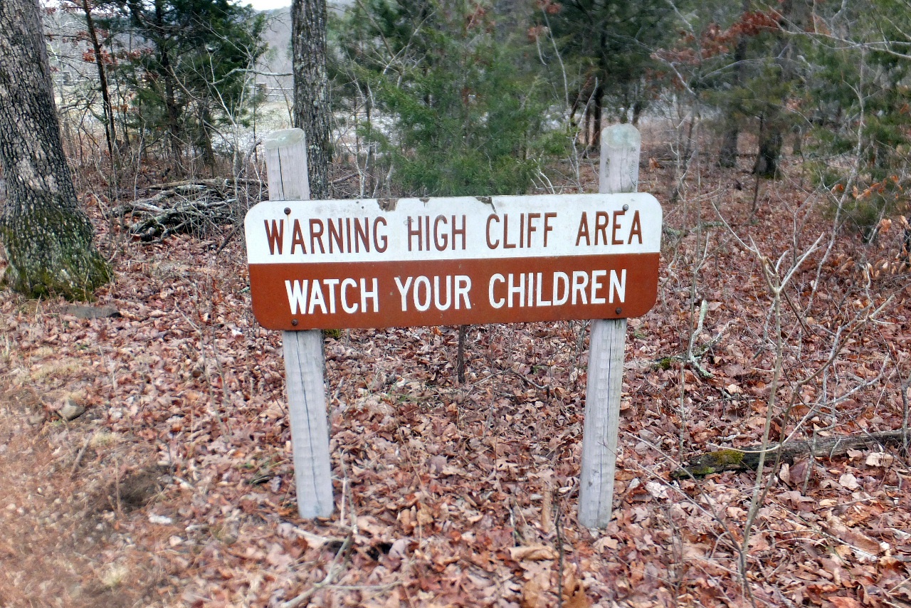 Warning sign just before you enter King's Bluff Falls area. |
|||||||
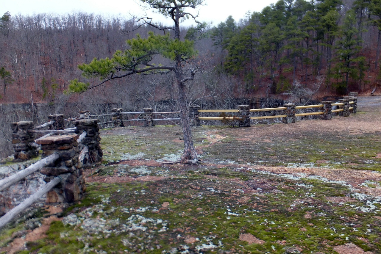
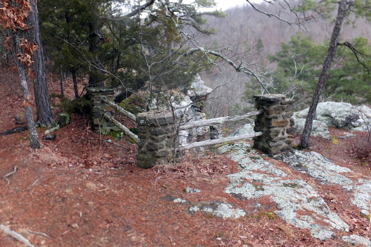
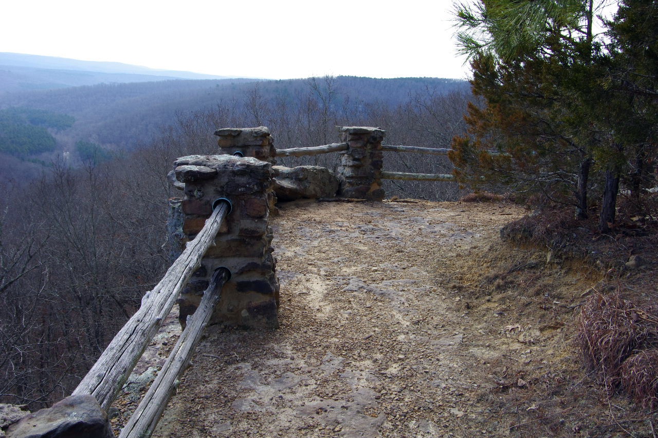
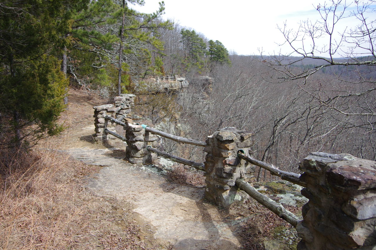
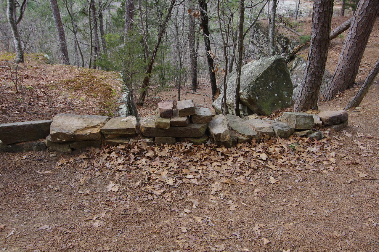
 Sign just before rock patio. |
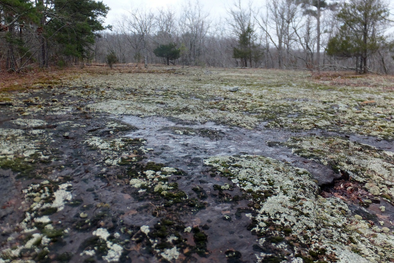
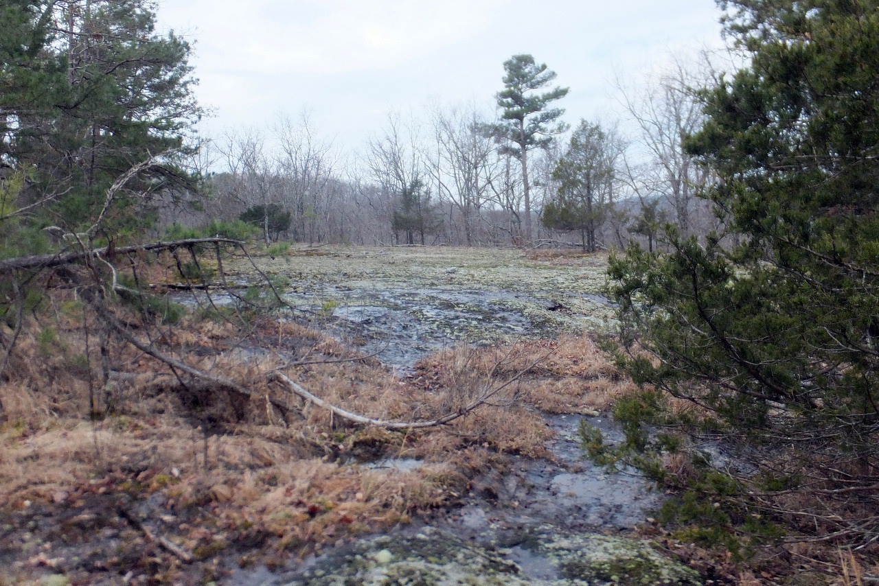
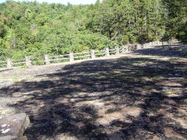 Rock patio at King's Bluff Falls |
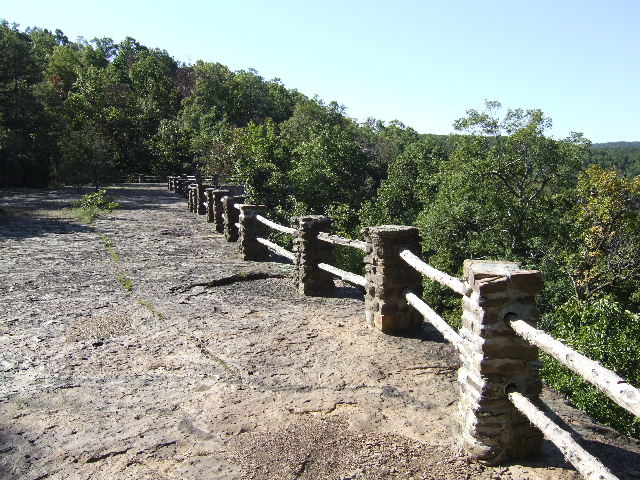 Looking south at railings. |
|||||||
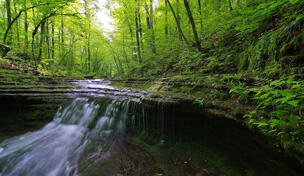
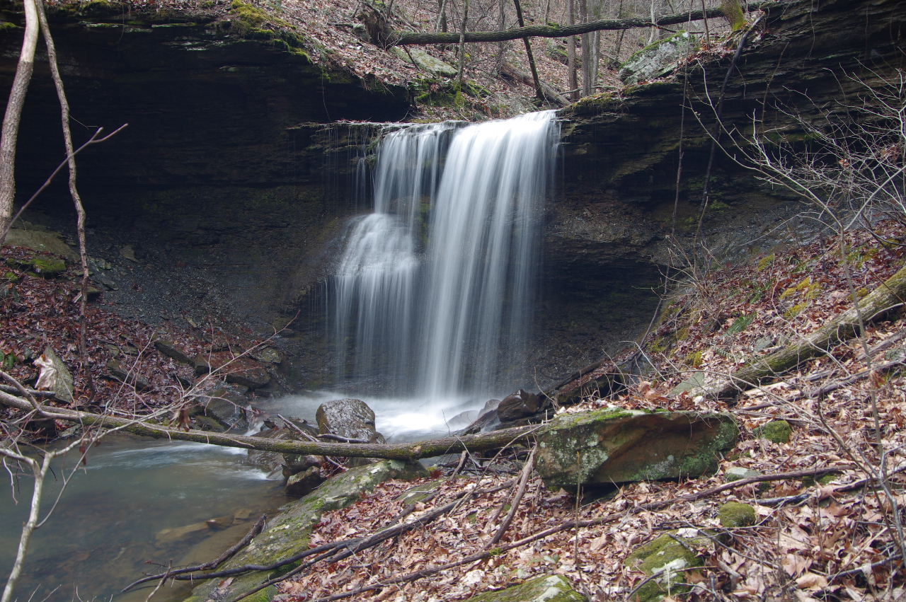
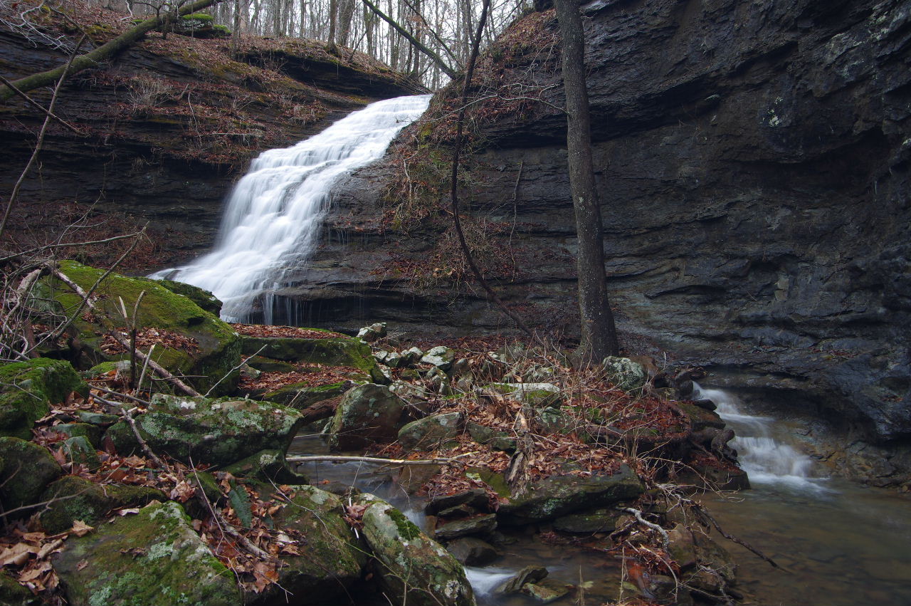
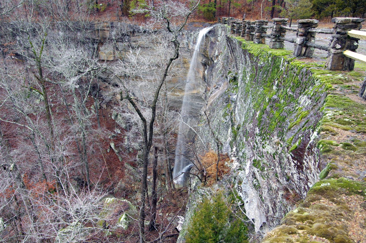 King's Bluff Falls |
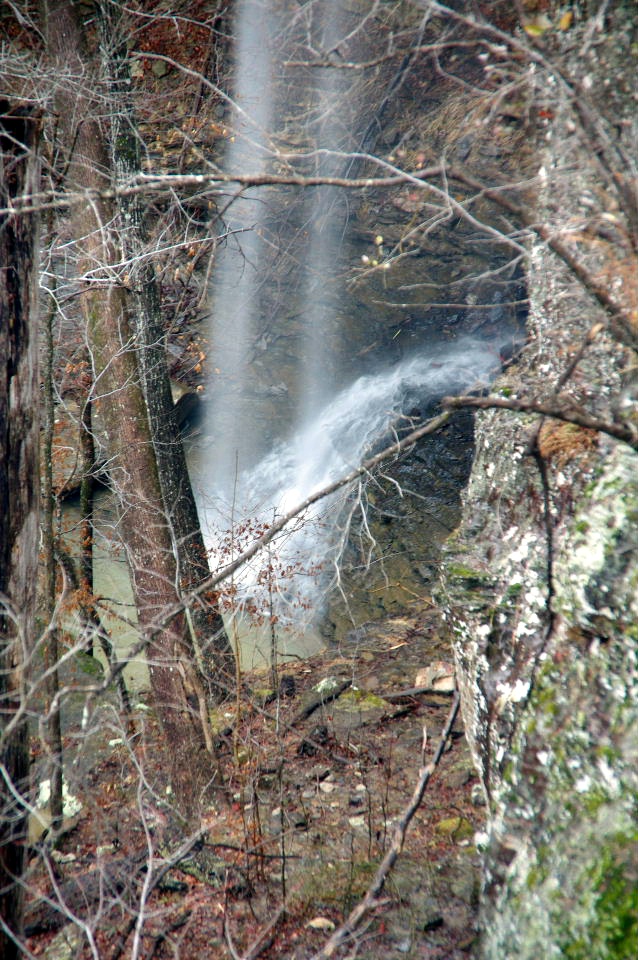 King's Bluff Falls (Bottom of falls) |
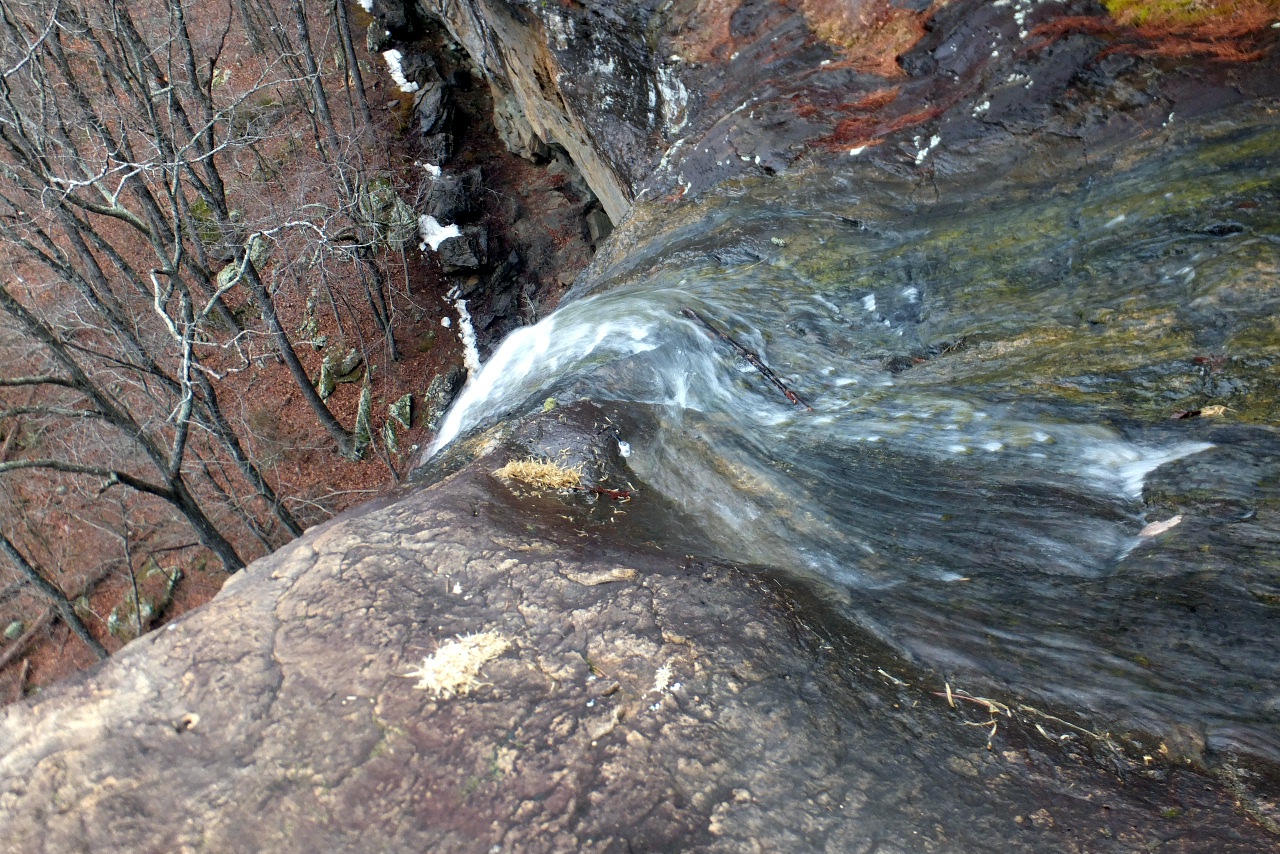 Top of King's Bluff Falls 35.72480°, 93.02512° |
|||||||
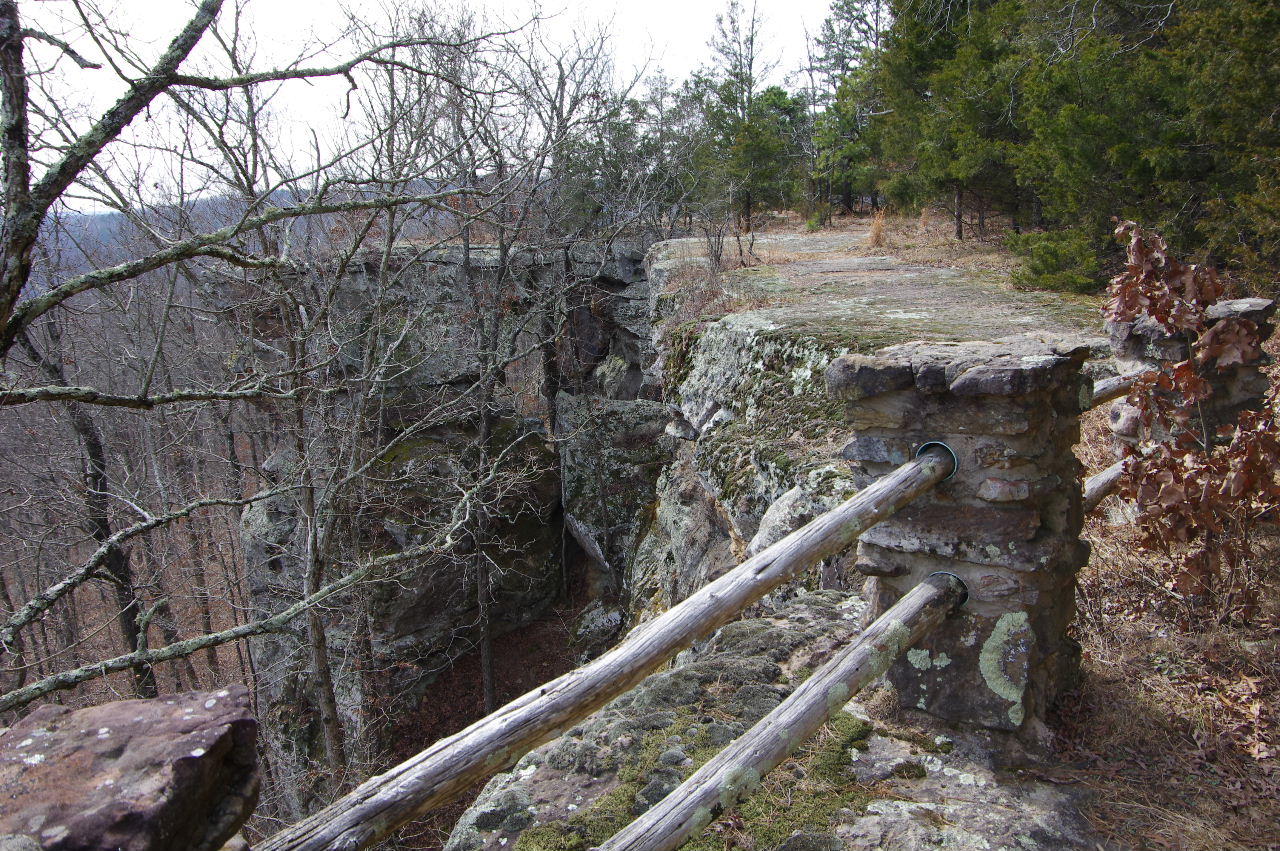
 Looking north |
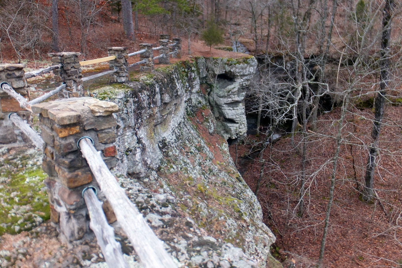 Looking south at south end of rock patio |
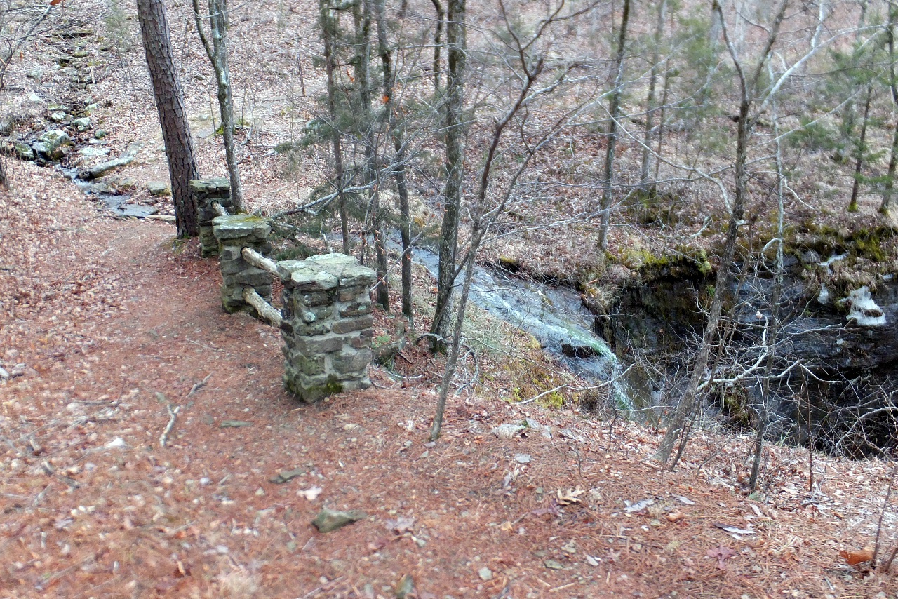 Railing at Un-named Waterfall |
|||||||
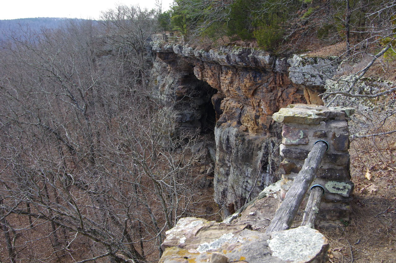
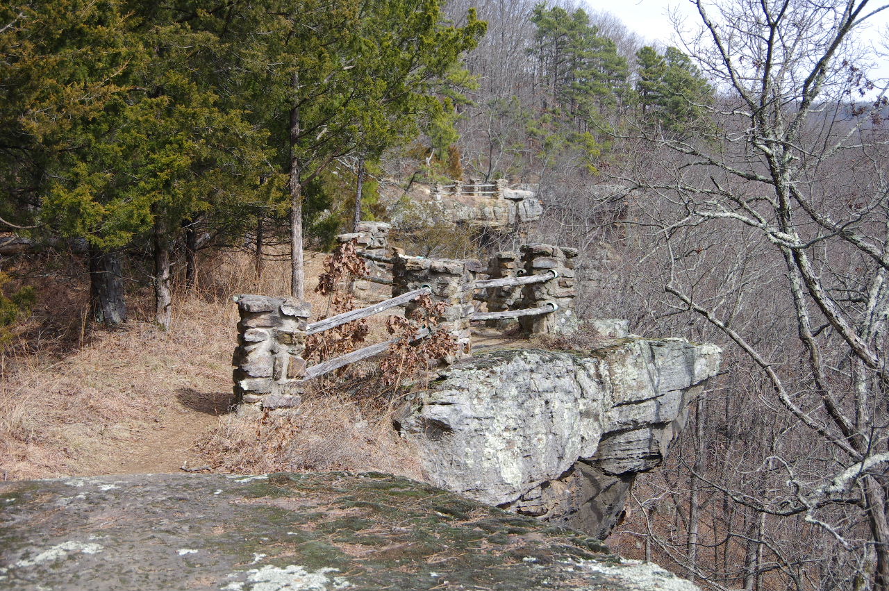
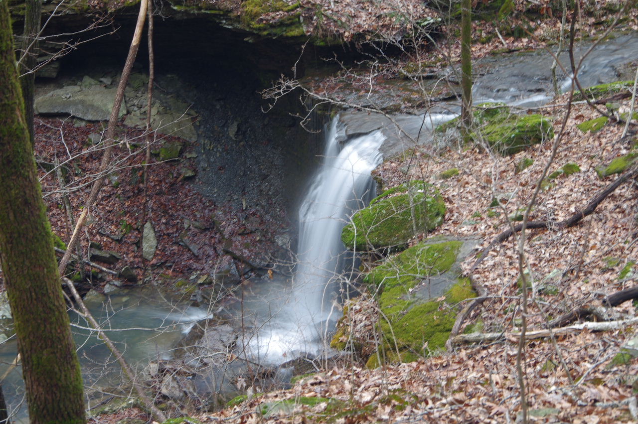
 Un-named Waterfall at south end 35.72417°, 93.02443° |
 Sign at south end passed Un-named Waterfall (Trail on right follows bluff line; trail on left follows old road back to beginning of King's Bluff Loop) |
 Primitive Trail heading "downunder" to bottom of King's Bluff Falls and The Seven Shelters 35.72397°, 93.02468° |
|||||||
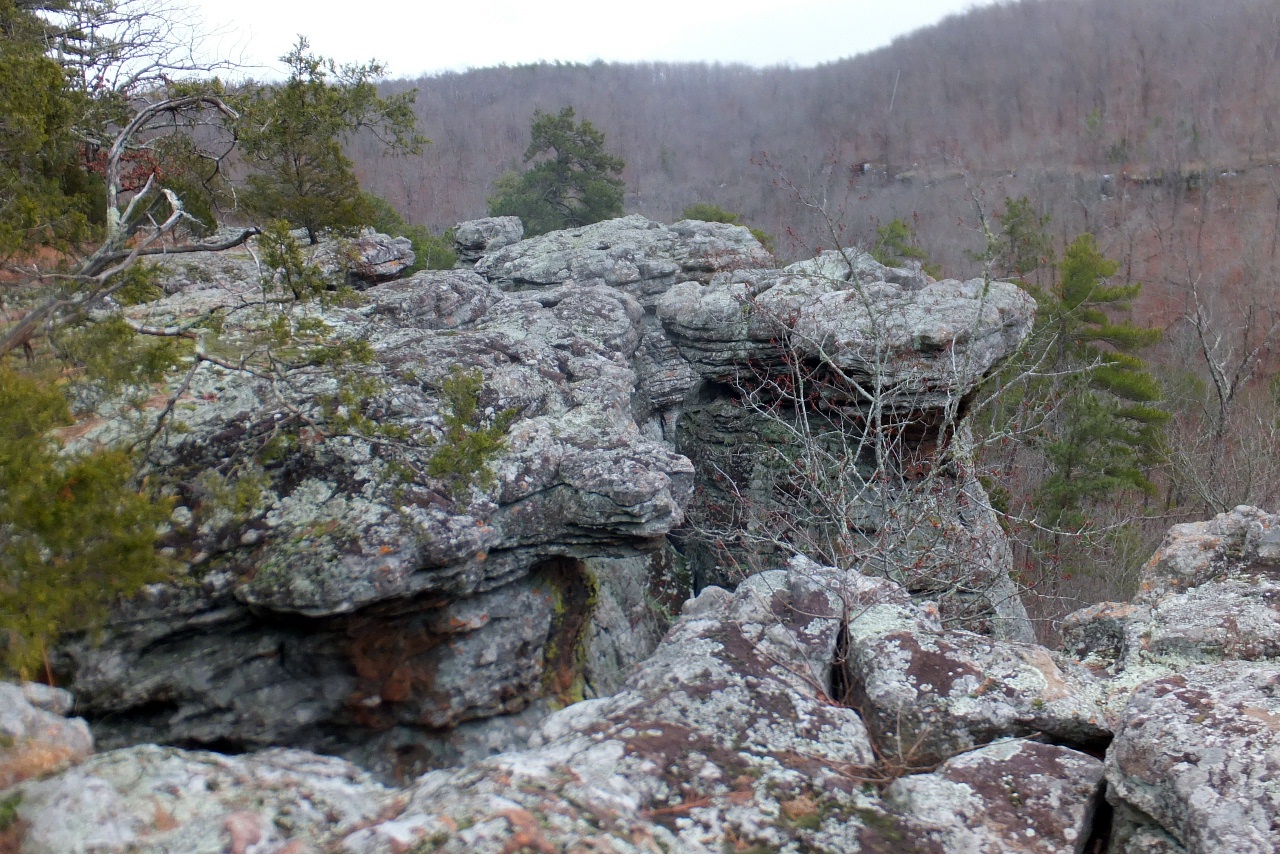
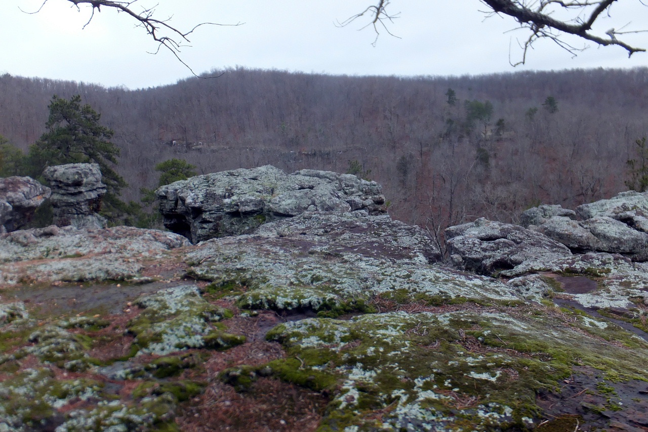
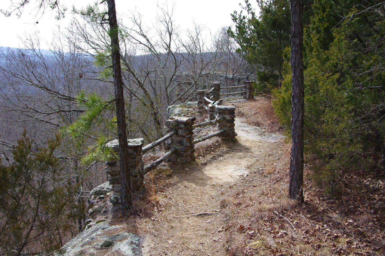
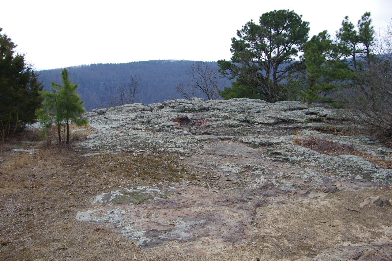
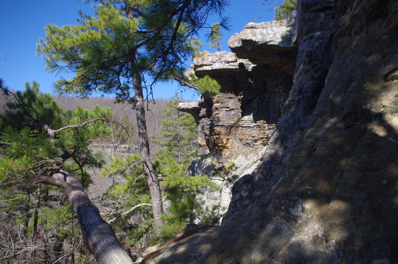
 Vista "A" 35.72384°, 93.02514° |
 Vista "B" 35.72361°, 93.02528° |
 Vista "C" 35.72255°, 93.02572° |
|||||||
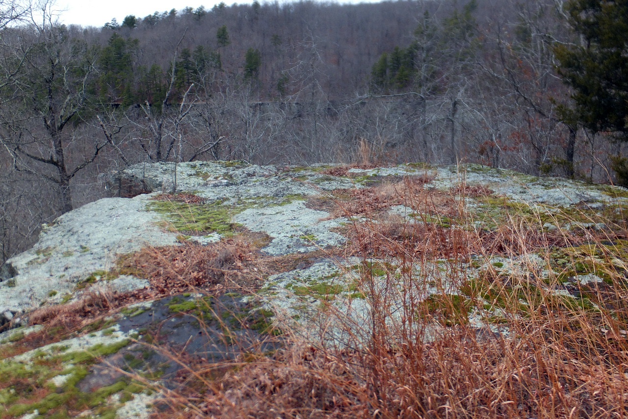
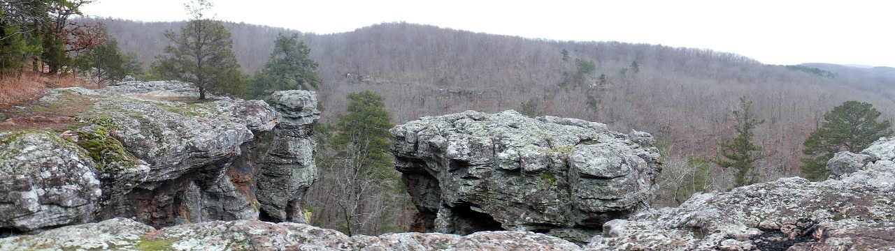
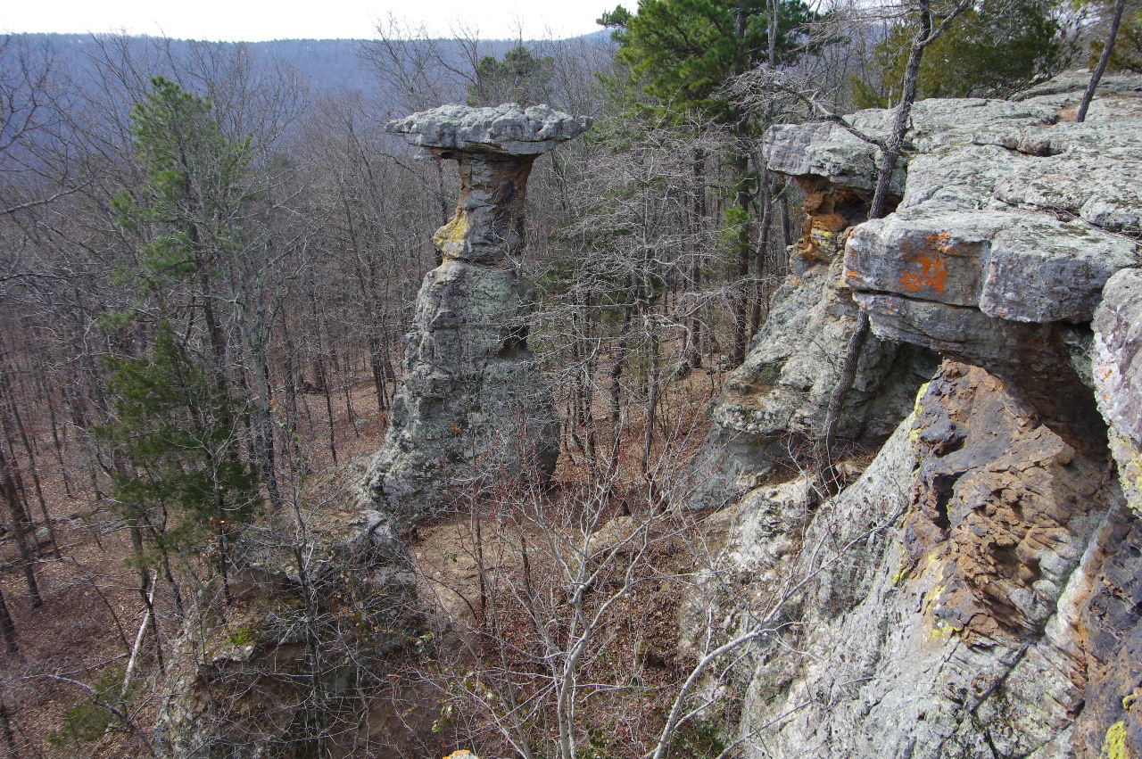
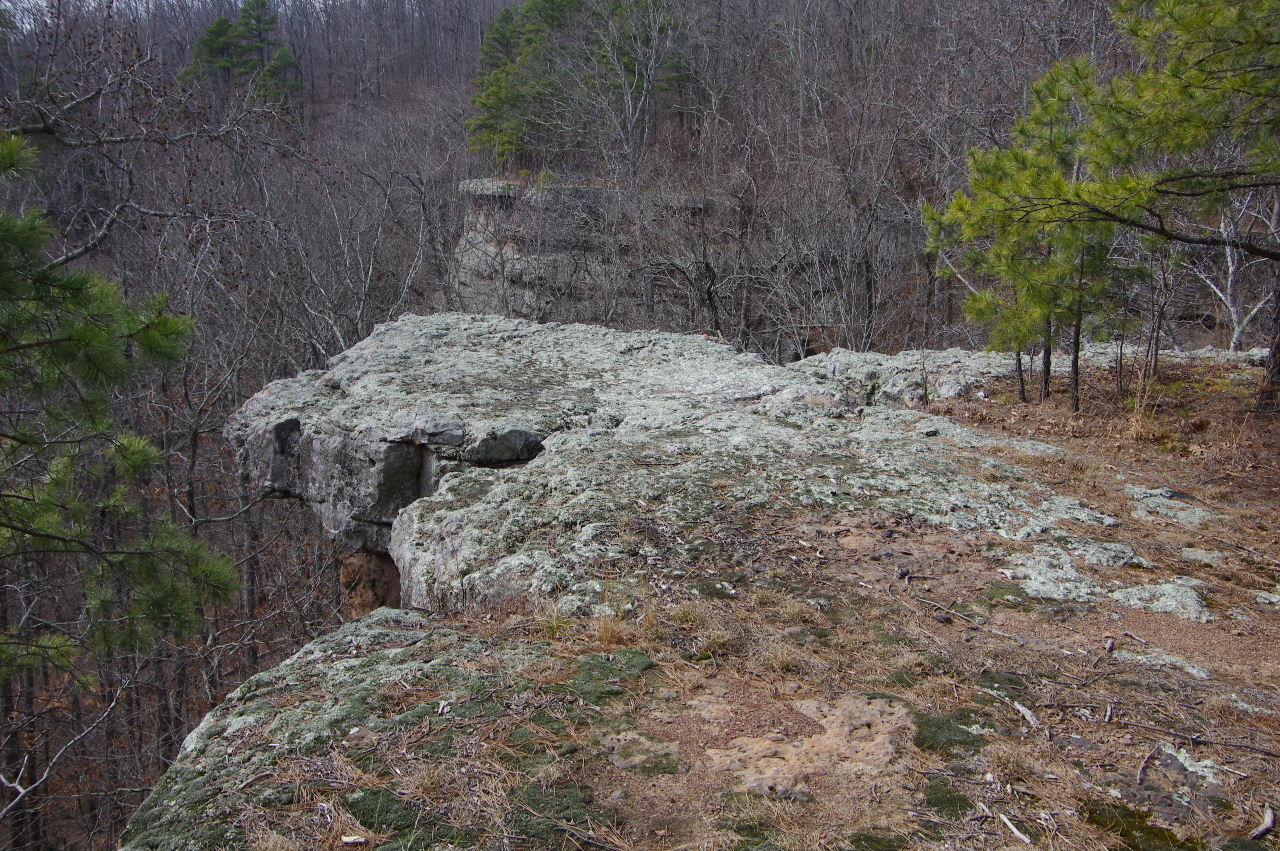
 Big Rocks Vista "D" |
 Big Rocks Vista "D" 35.72224°, 93.02564° |
 Big Rocks Vista "D" |
|||||||
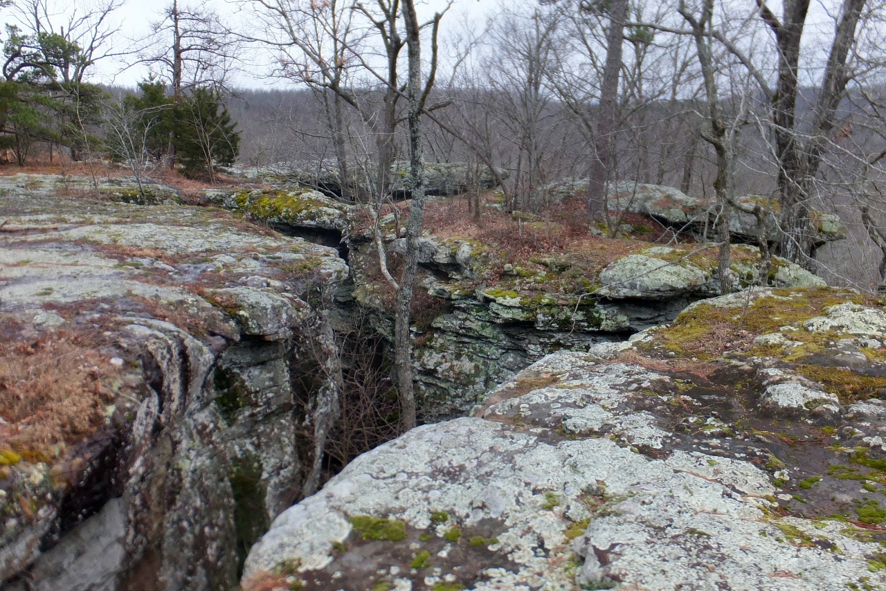
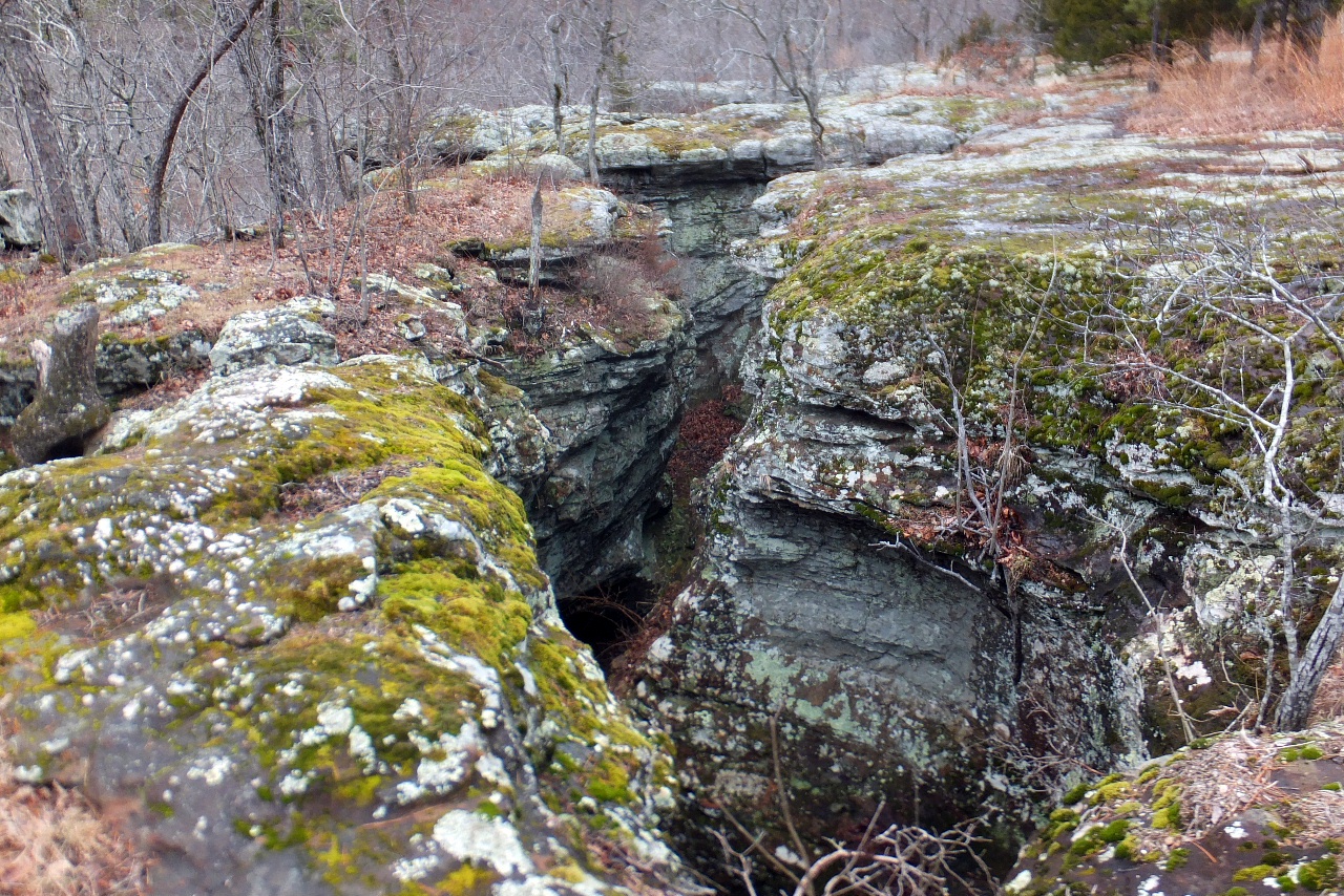
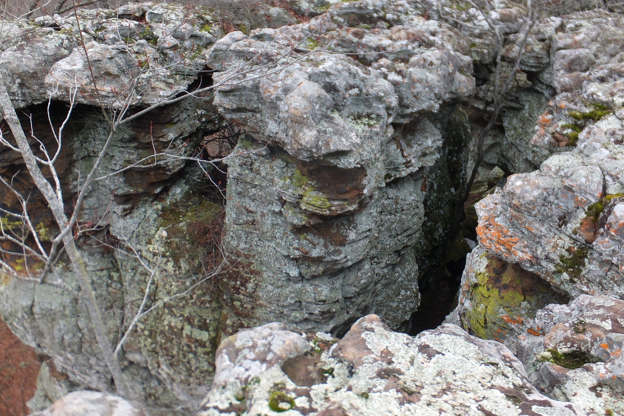
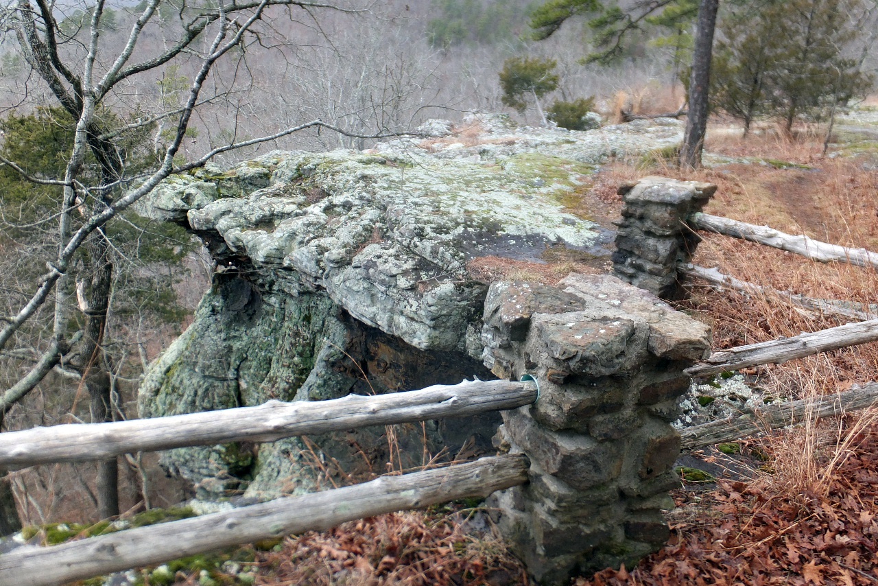
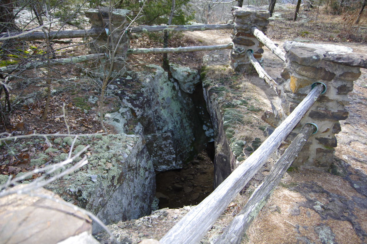
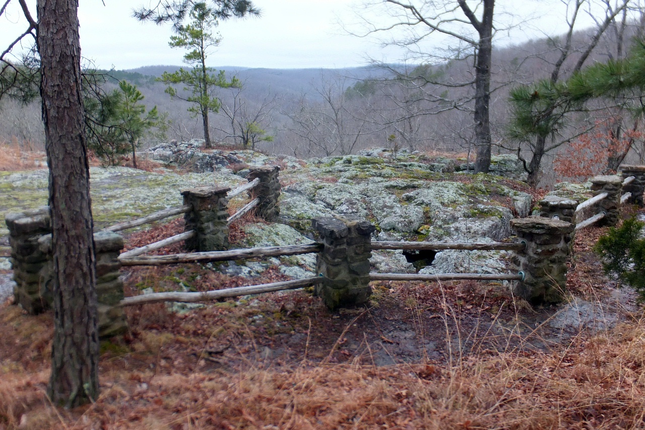 Big Crack Railing "E" |
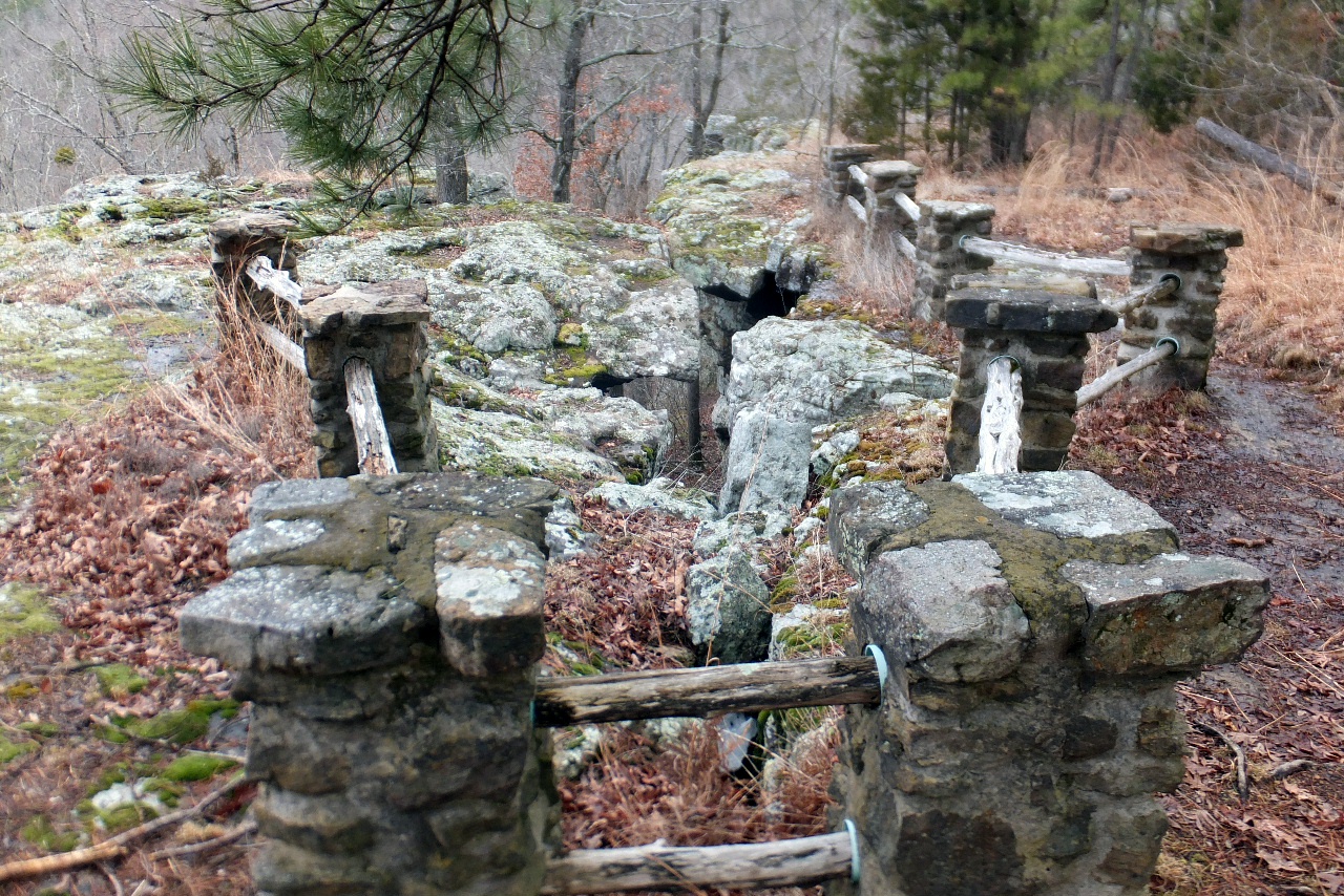 Big Crack Railing "E" 35.72191°, 93.02528° |
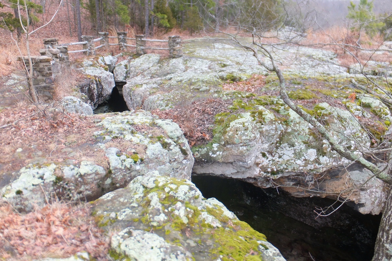 Big Crack Railing "E" |
|||||||
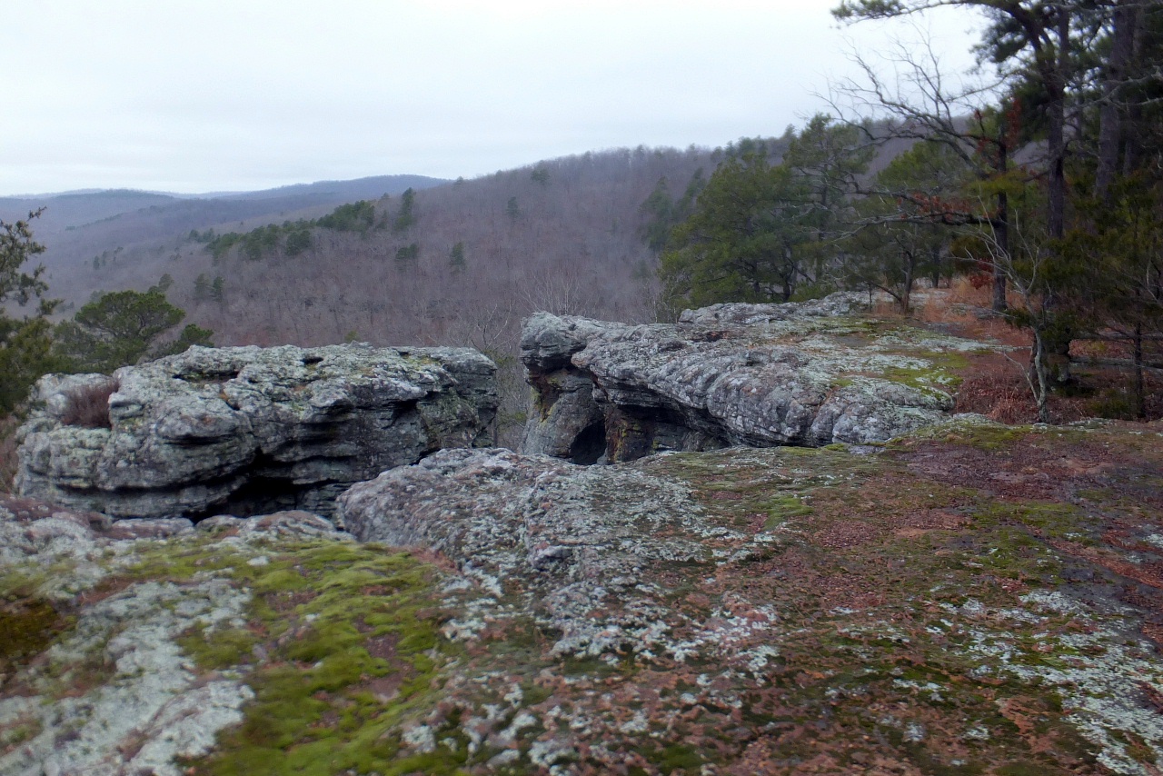
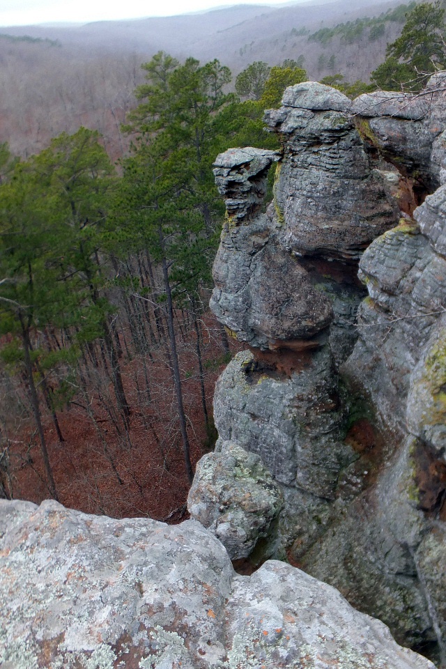
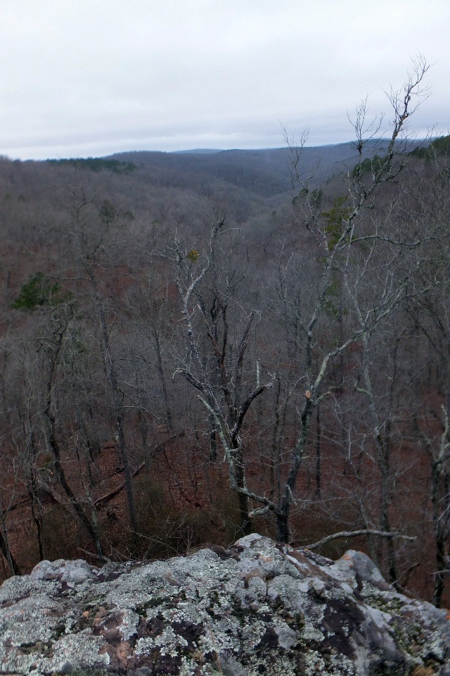 Vista "F" 35.72166°, 93.02527° |
 Railing "G" 35.72163°, 93..02508° |
 Railing "H" 35.72138°, 93.02479° |
|||||||
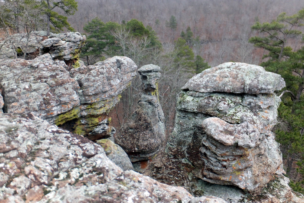
 Vista "I" |
 Vista "I" 35.72165°, 93.02527° |
 Vista "I" |
|||||||
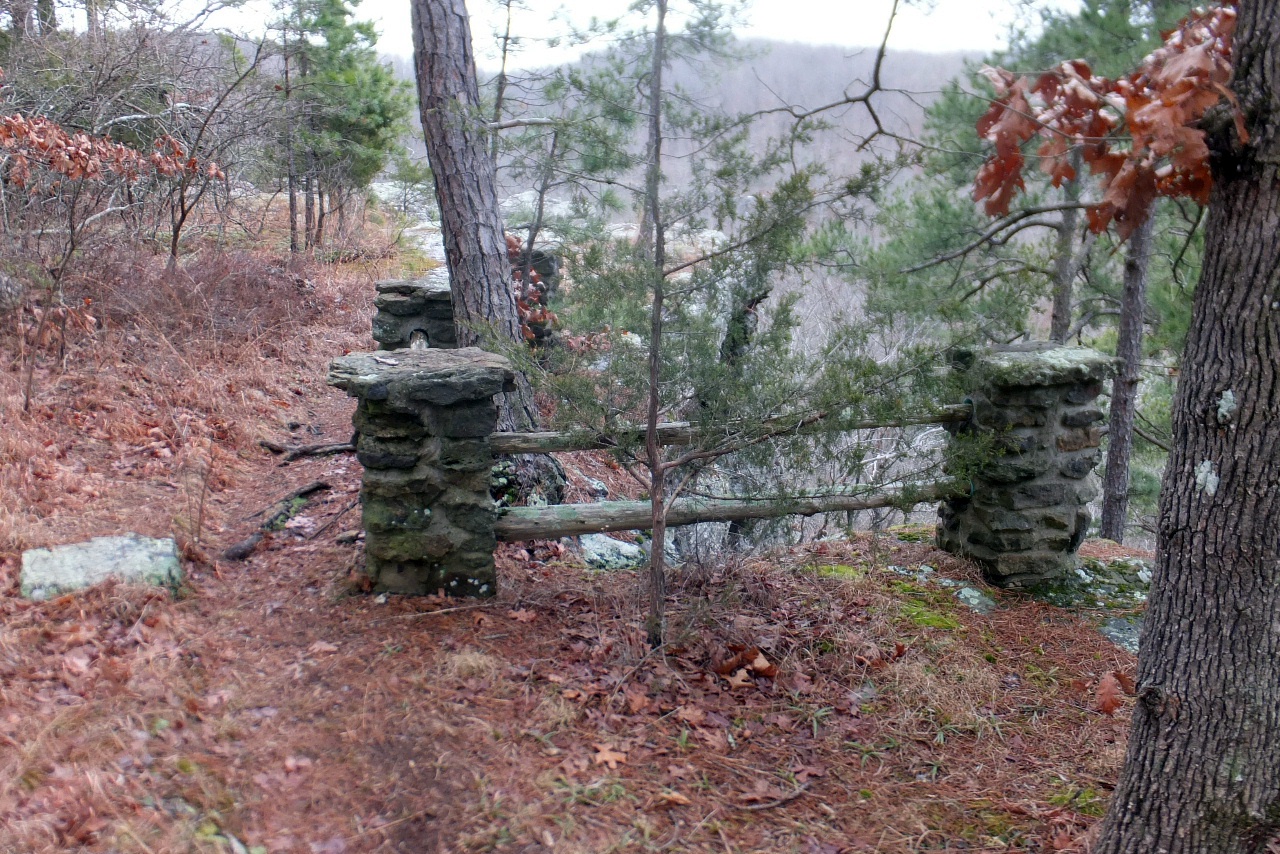
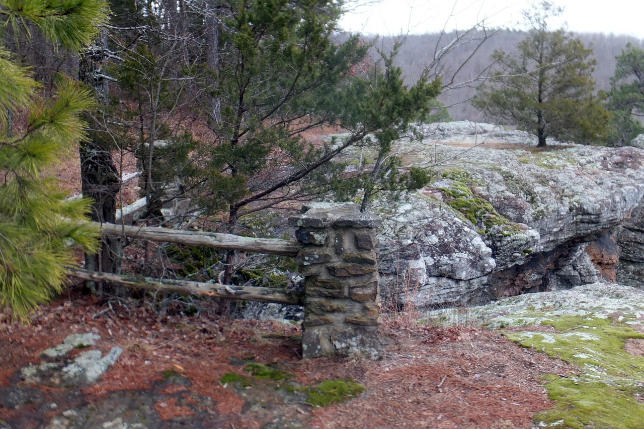 Railing "J" 35.72118°, 93.02452° |
 |
 |
|||||||
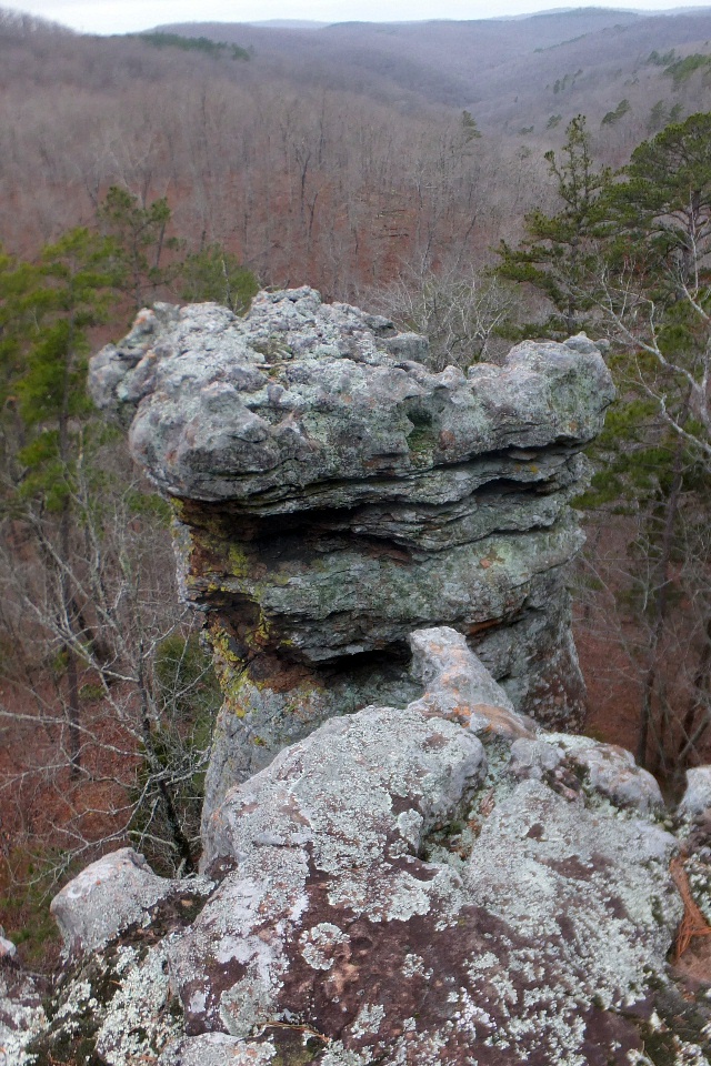
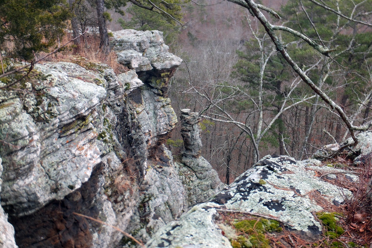
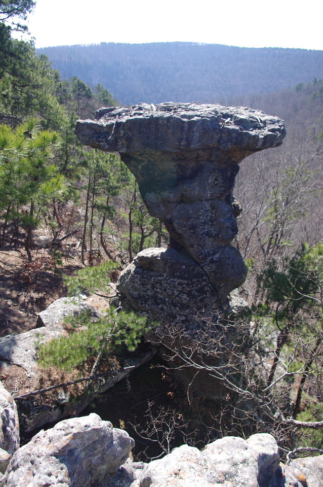
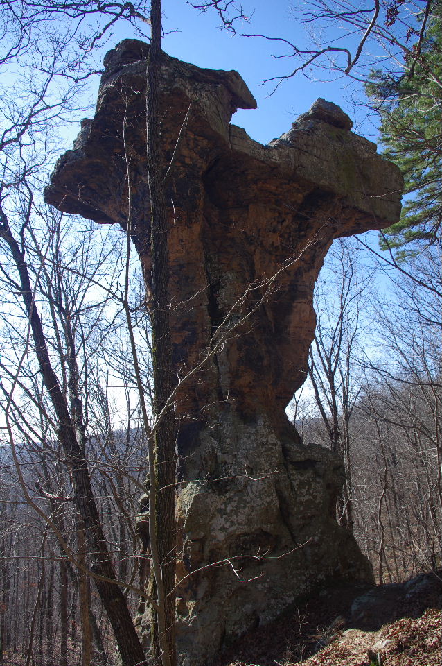
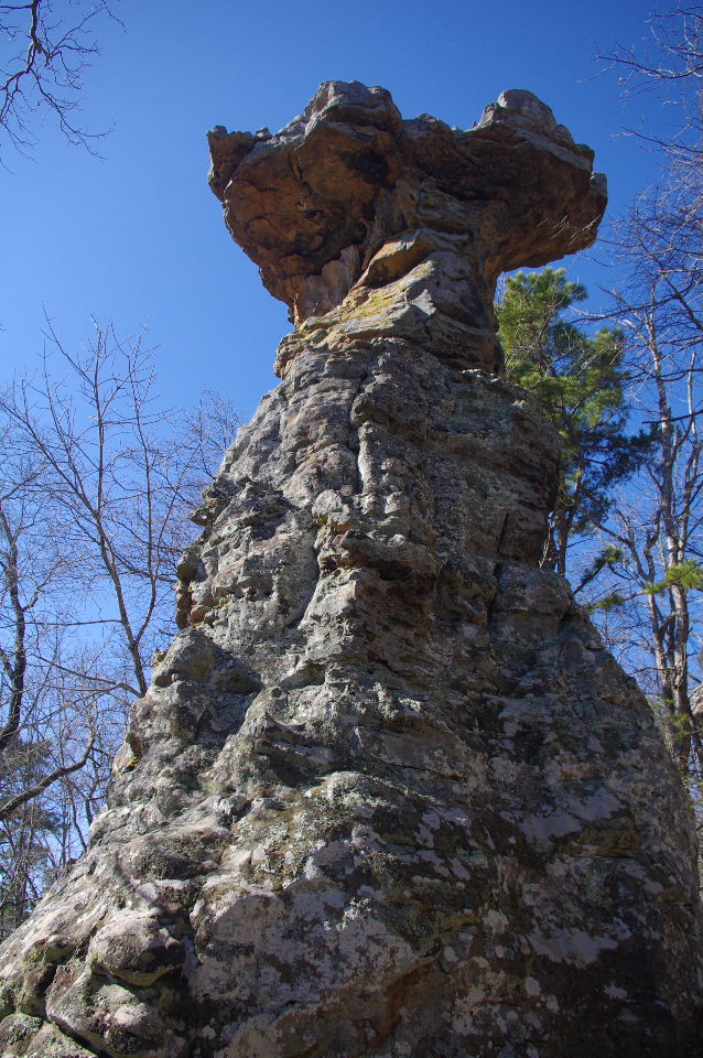
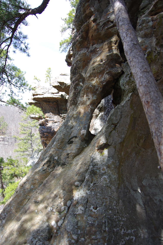
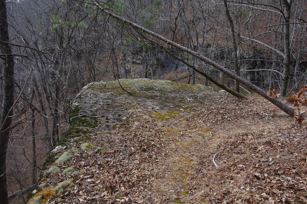
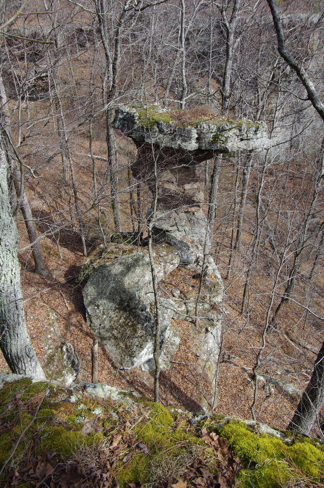
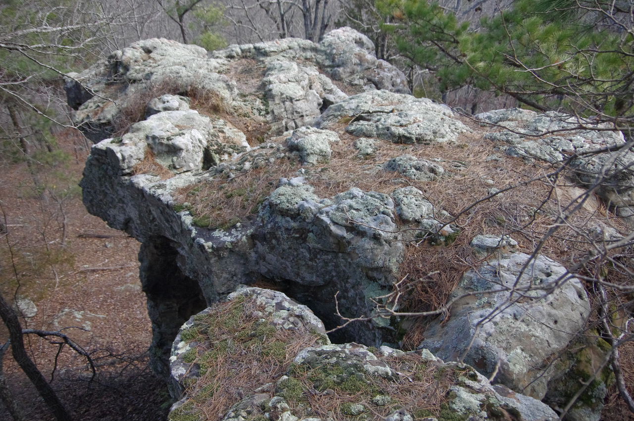
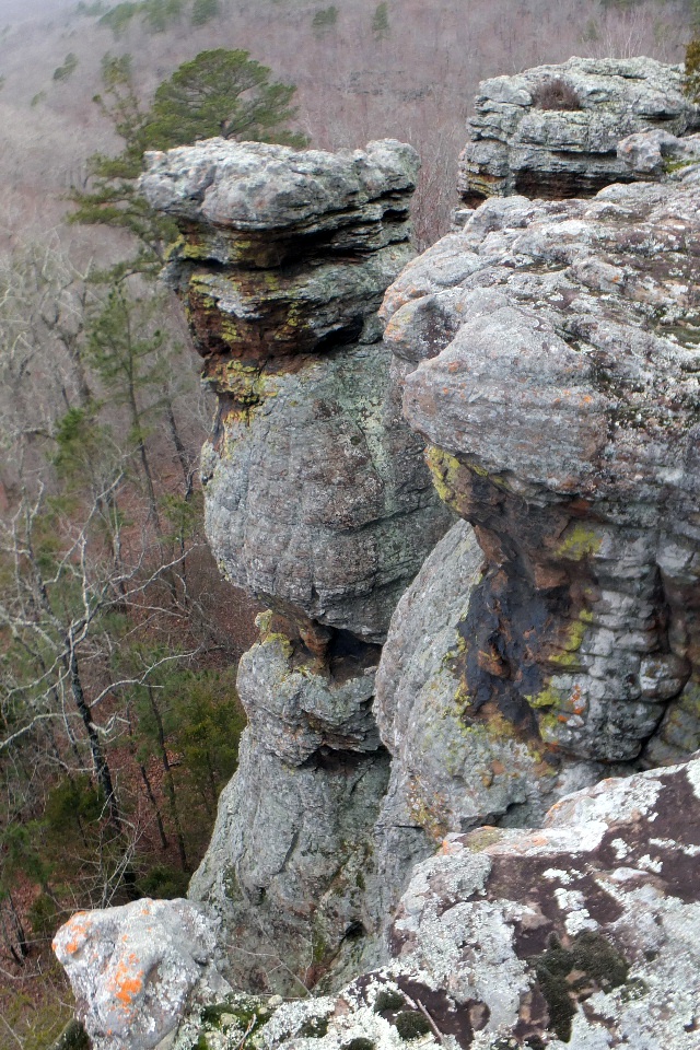 Pedestal |
 Pedestal Vista "K" 35.72087°, 93.02393° |
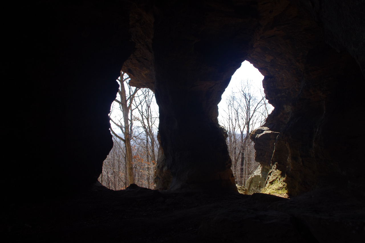
 Check out all the caves below these bluffs |
|||||||
 Railing "L" 35.72086°, 93.02361° |
 Tiny Pedestal |
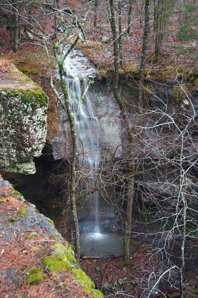
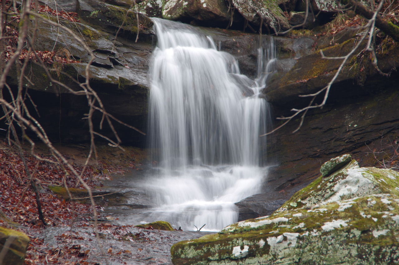
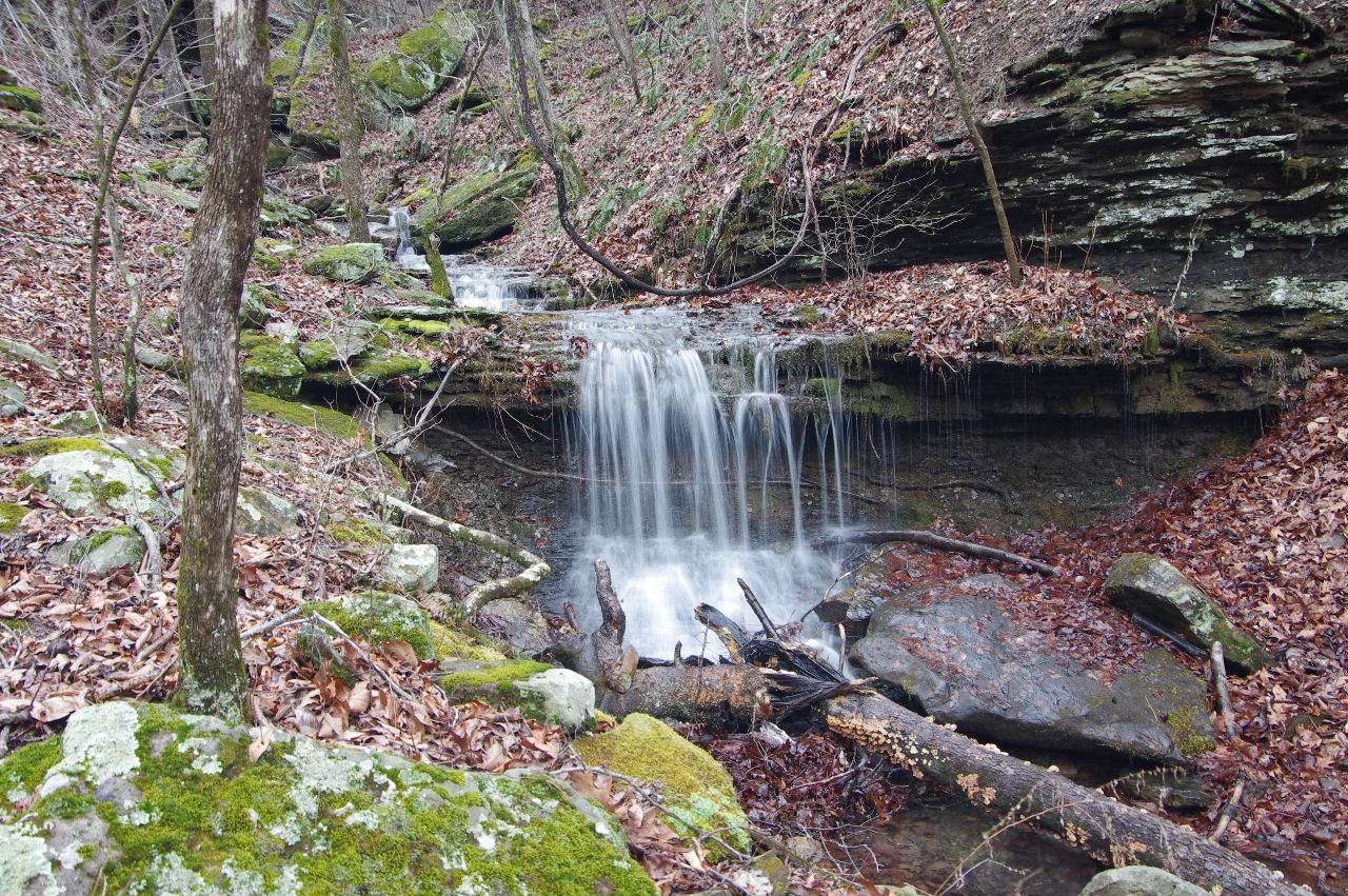
 Un-named Waterfall 35.72134°, 93.02214° |
|||||||
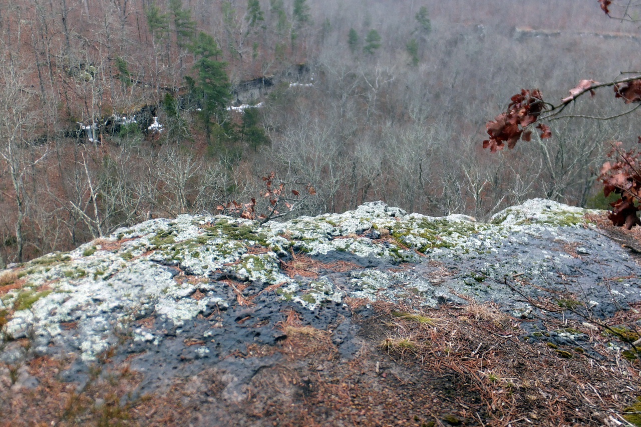 Last Vista "M" 35.72118°, 93.02188° (Looking south) |
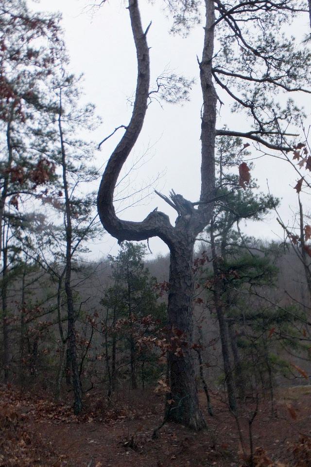 Unusual looking Pine tree at Last Vista "M" |
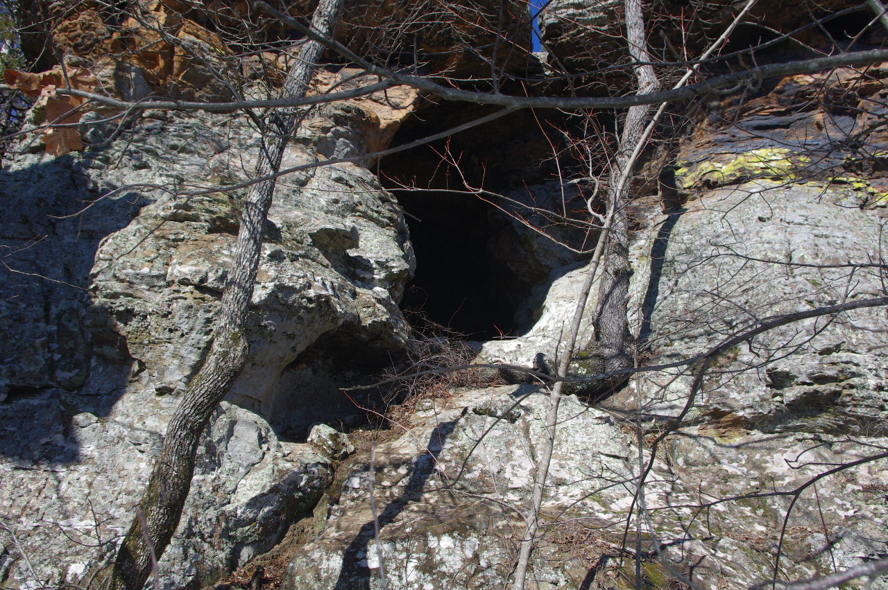
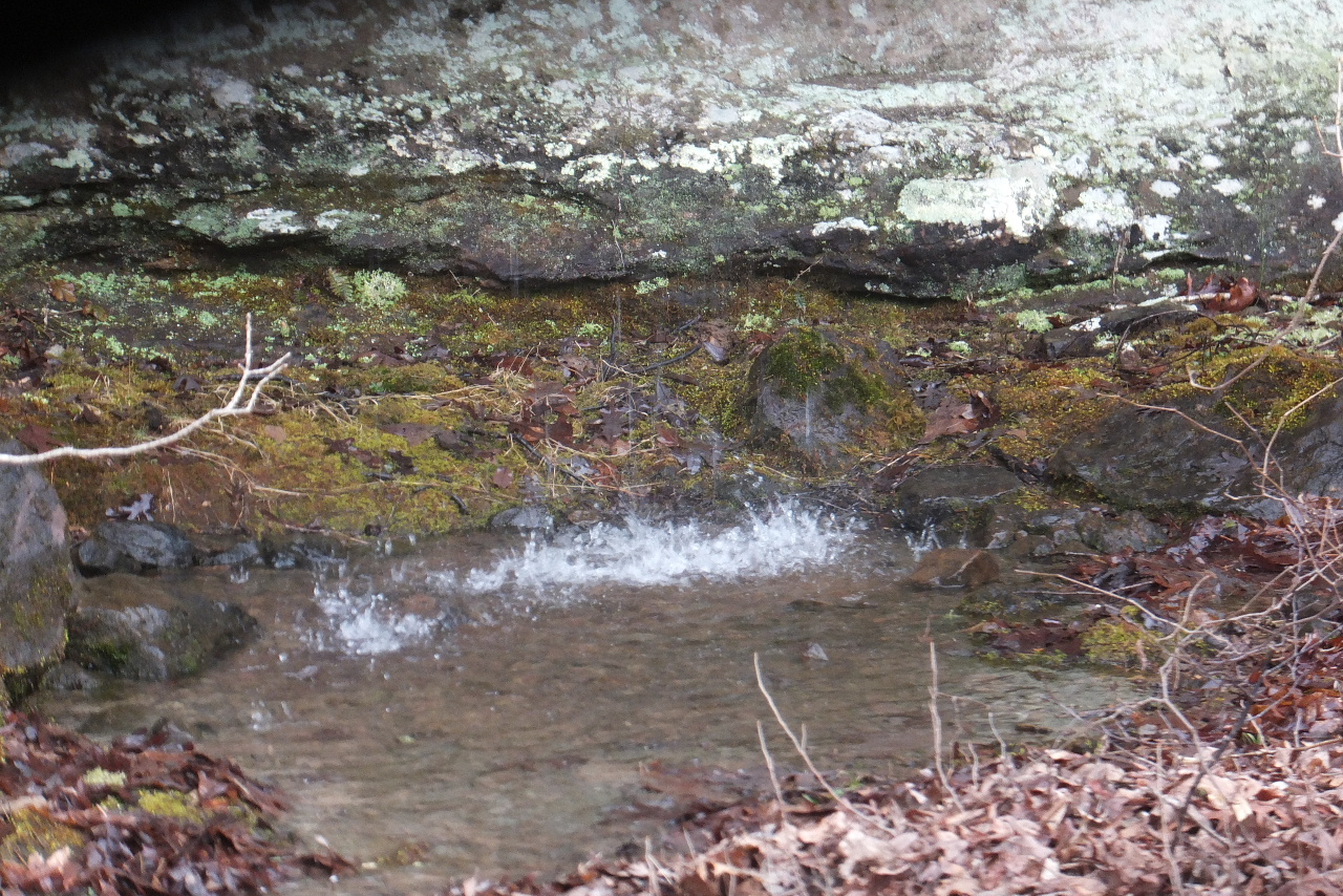
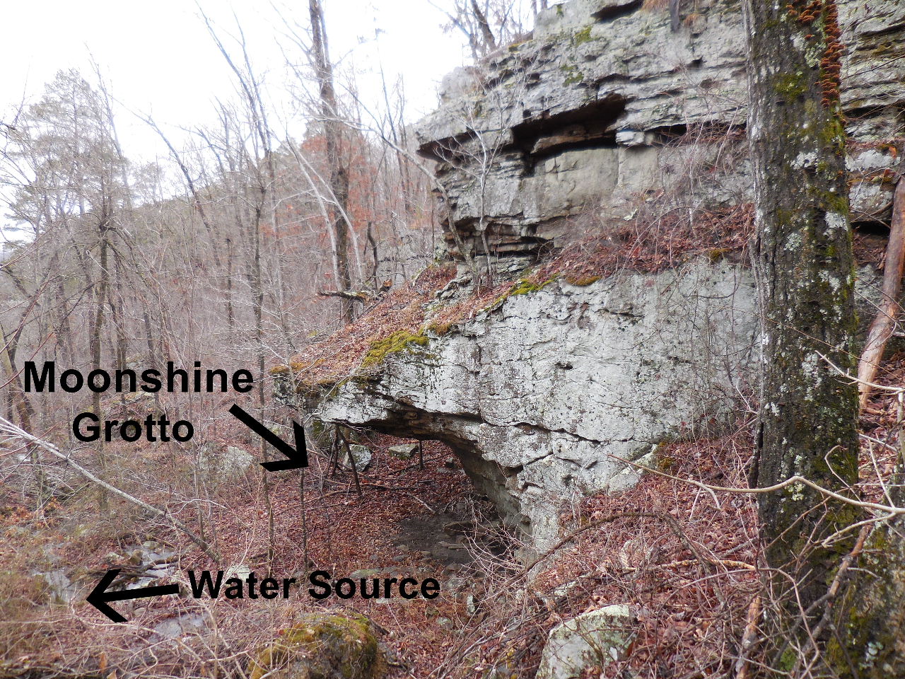 Moonshine Grotto "N" 35.72108°, 93.02033° |
|||||||
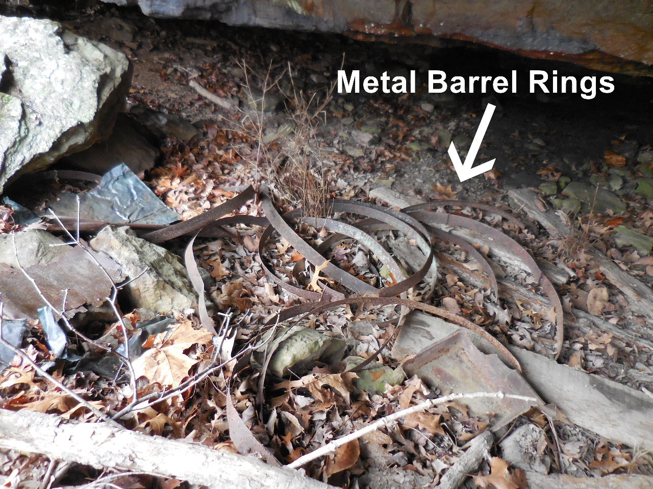 Found old metal barrel rings |
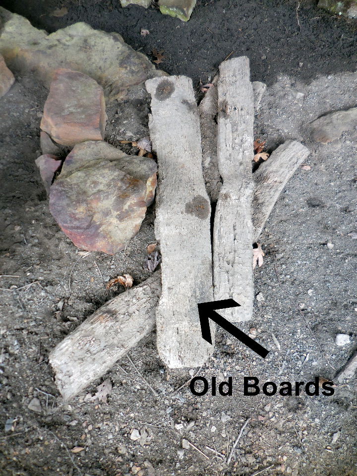 Old boards Note: The drainage across the highway from the entrance of Pedestal Rocks is called Still Hollow.... so all this makes sense. |
 Arriving at intersection 35.72168°, 93.01617° |
|||||||
|
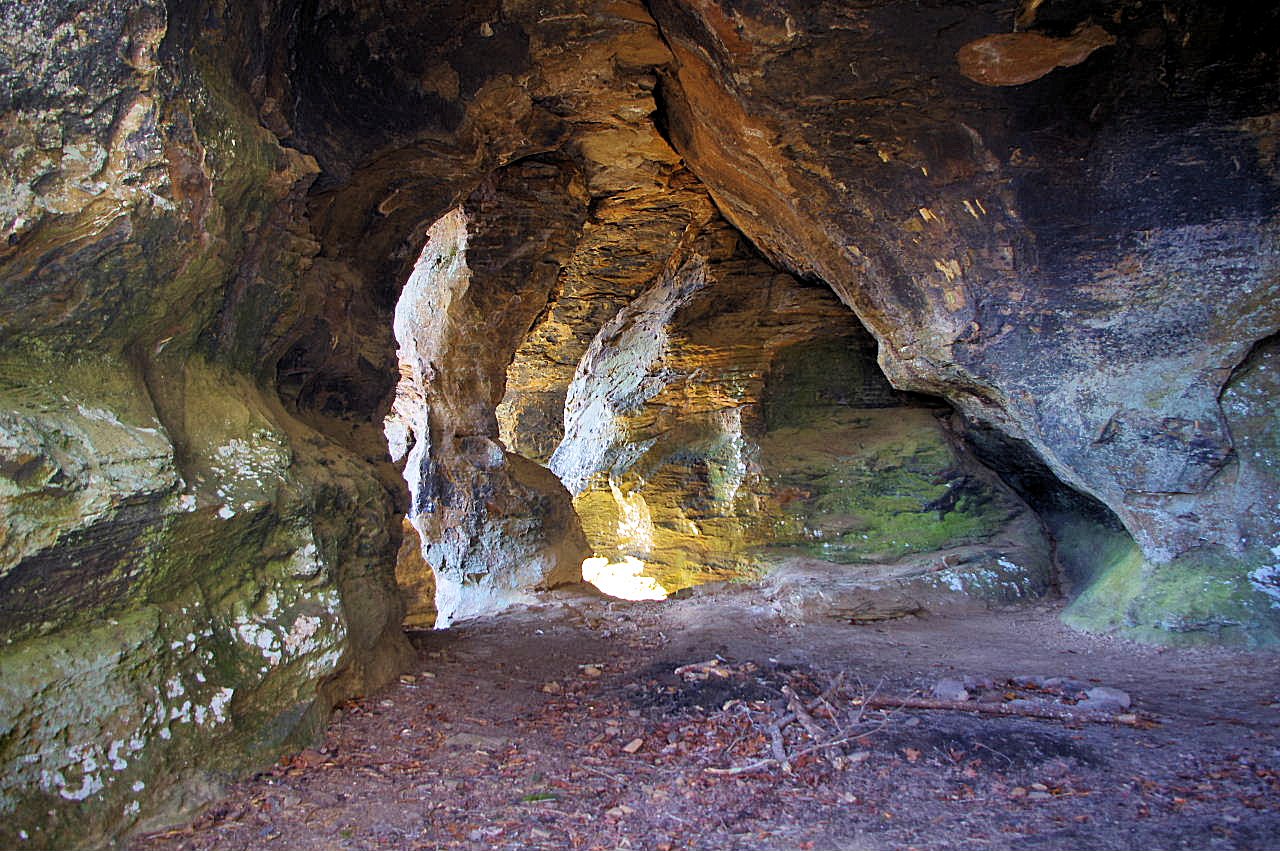
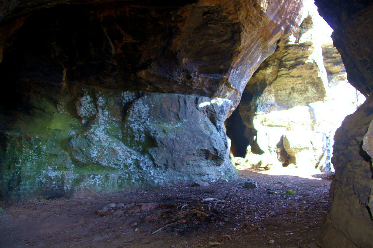
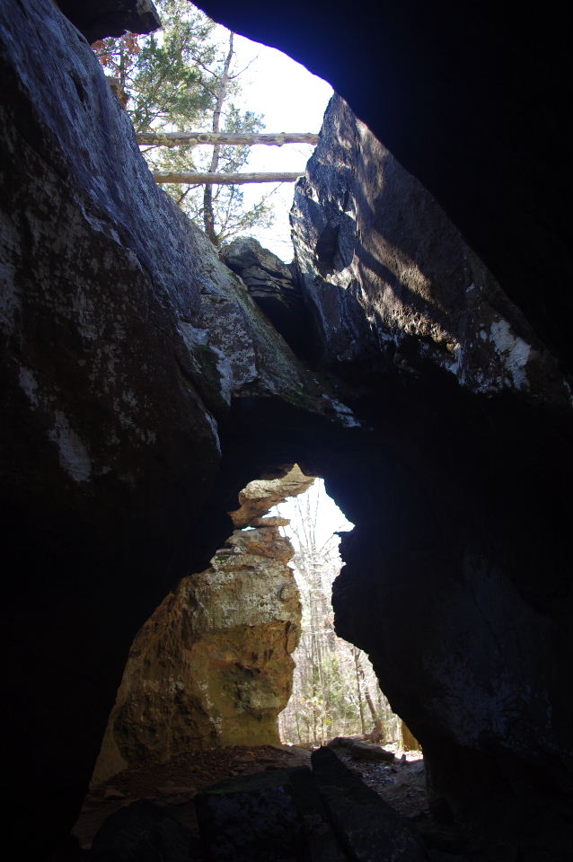
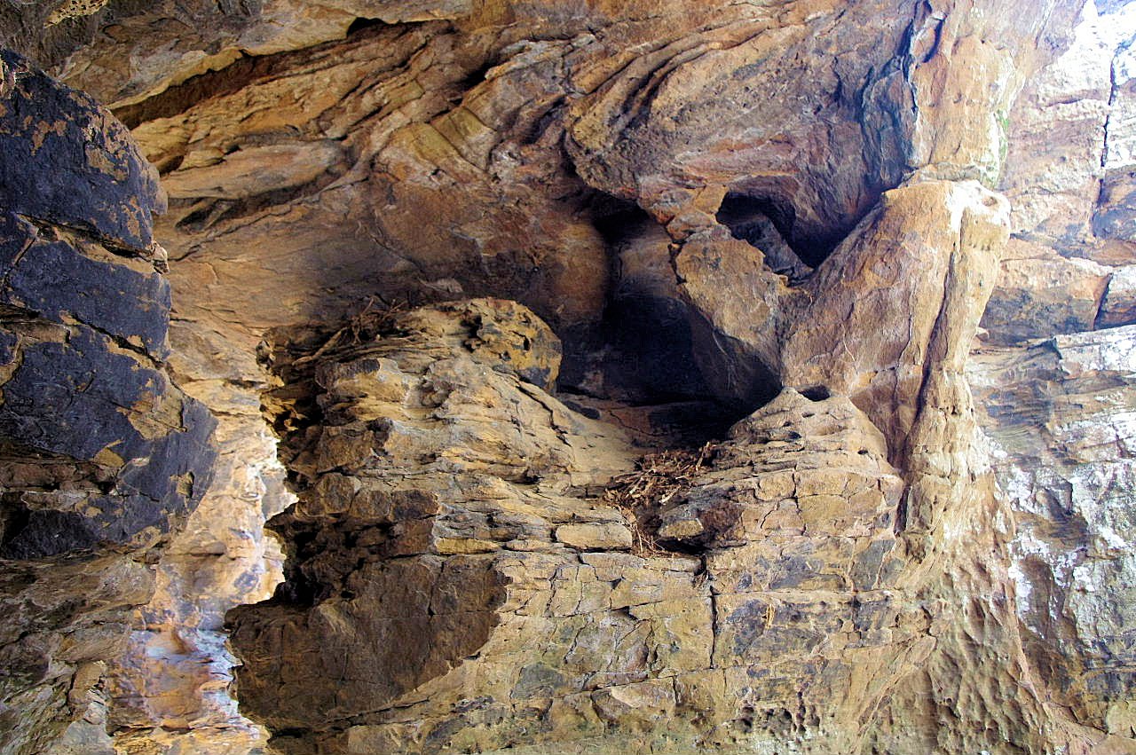
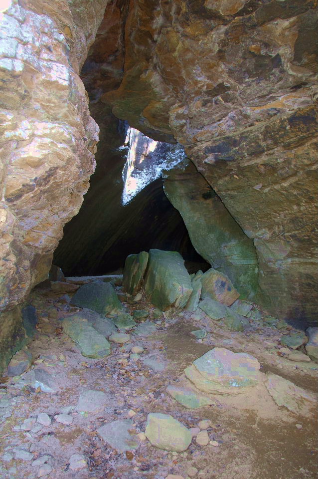
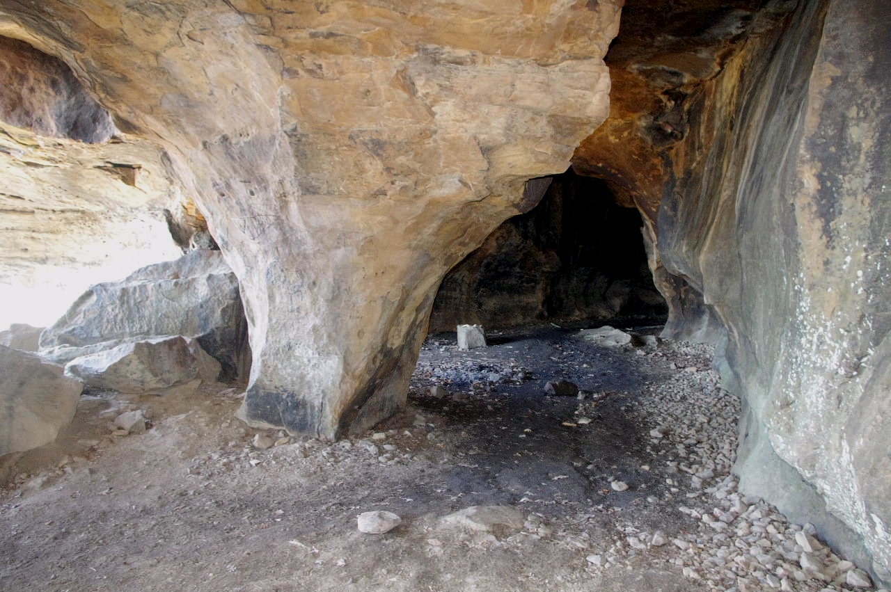
The Seven Shelters of King's Bluff Downunder 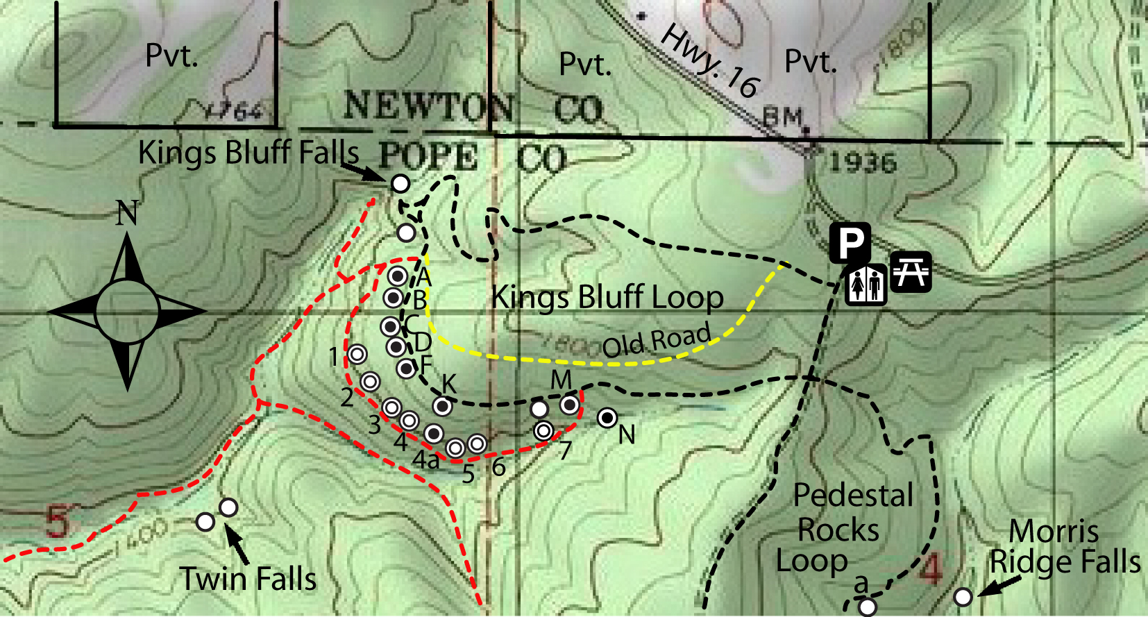 |
|||||||||
|
|||||||||
|
|
|||||||||
|
Pedestal Rocks Loop ( Clockwise) |
|||||||||
|
Heading to Pedestal Rocks Loop |
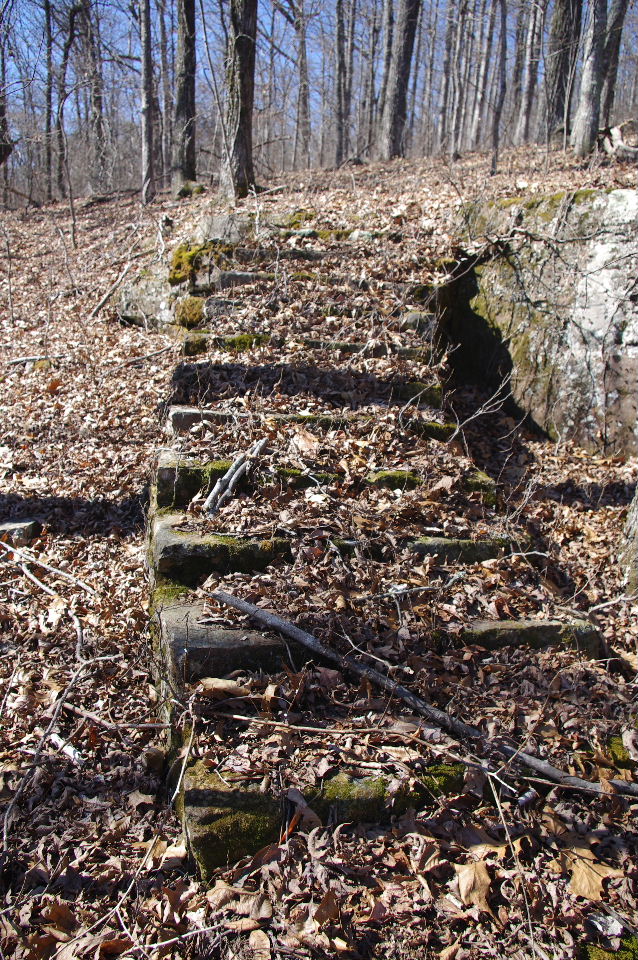
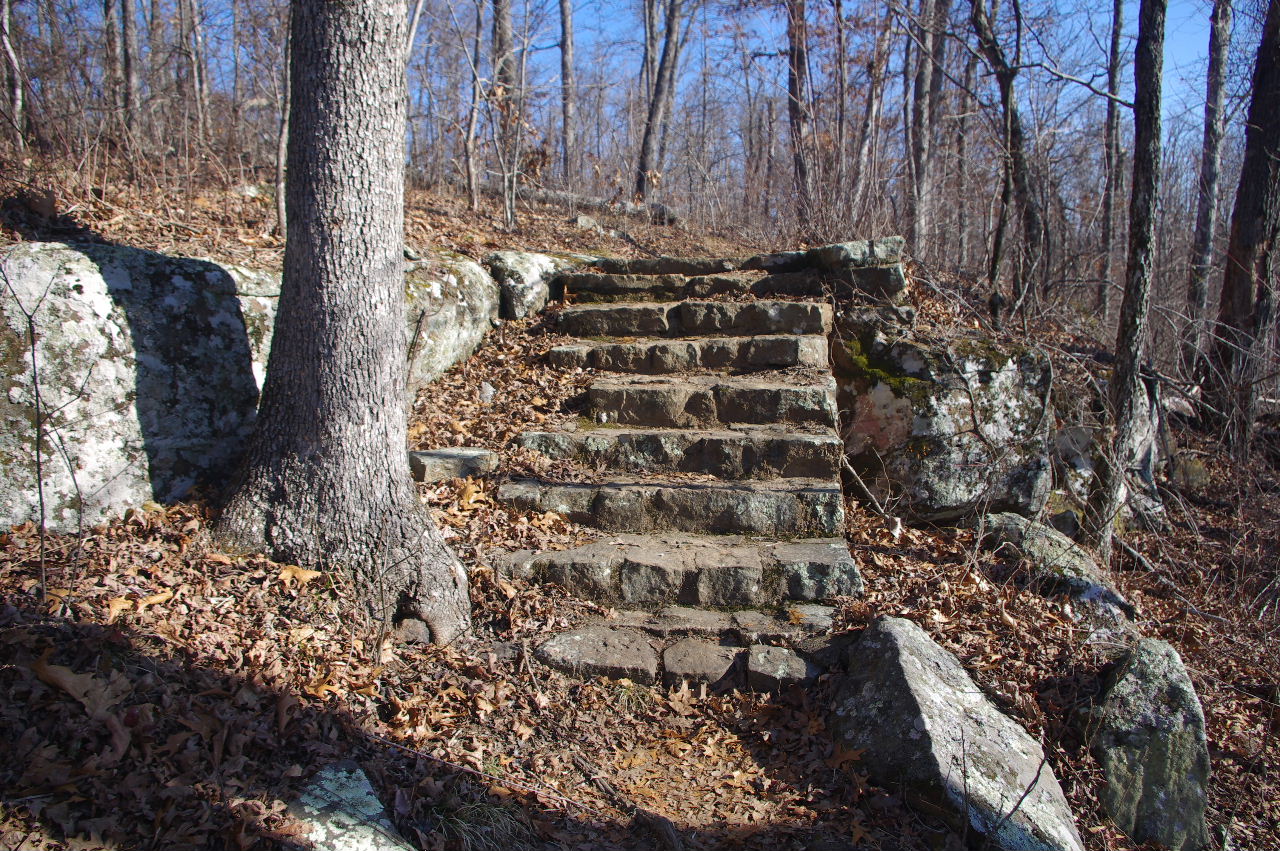 Rock Steps (You will encounter these both coming and going along this loop) |
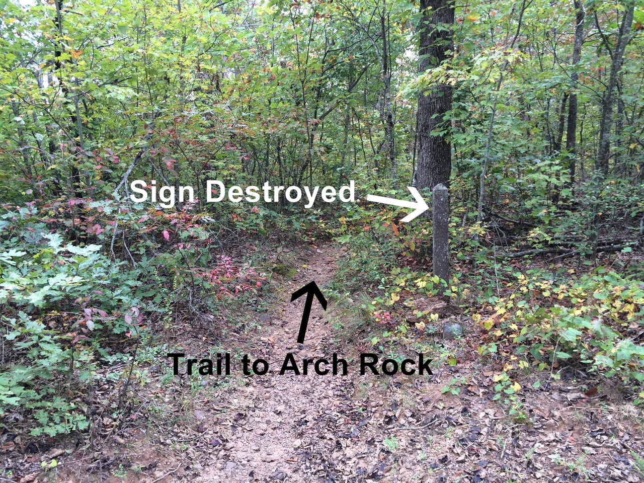
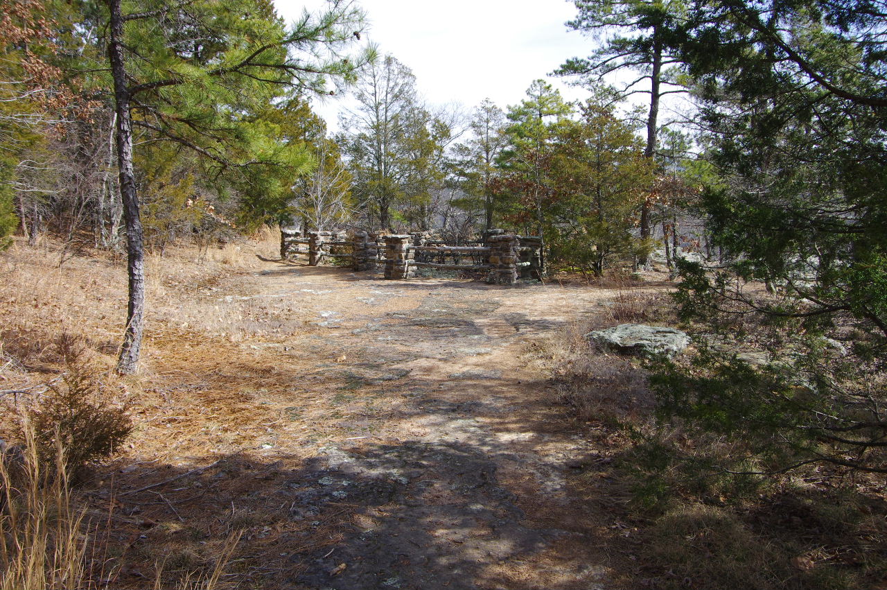
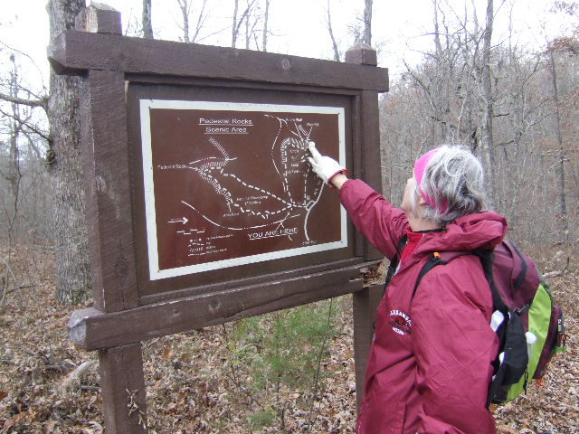 Intersection Sign for Pedestal Rocks and King's Bluff Loops. 35.72168°, 93.01617° |
|||||||
 This is what the intersection looks like today! Intersection Sign has been destroyed. Head straight, along old road or turn left (south) and head along existing trail. |
 Turn right (north) and head along this loop. |
 Turn left (south) and following trail around to the Arch Rock. |
|||||||
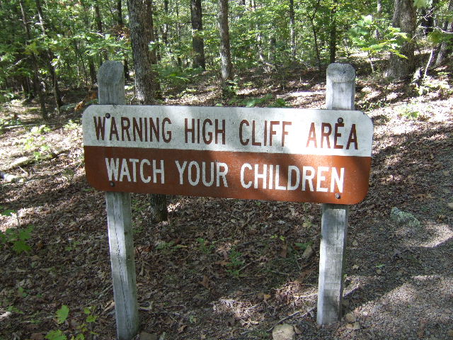 Warning Sign (800' before Arch Rock) |
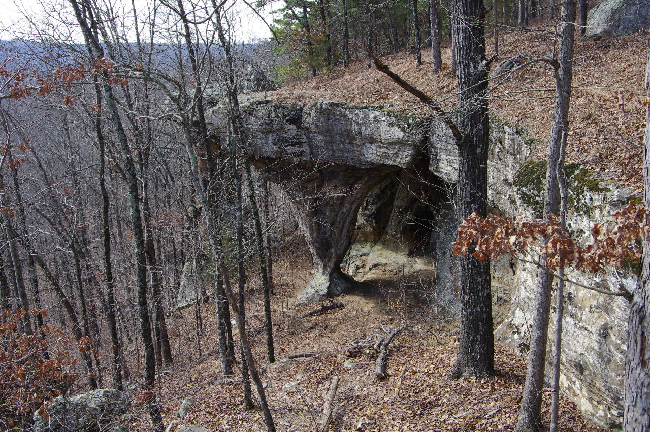
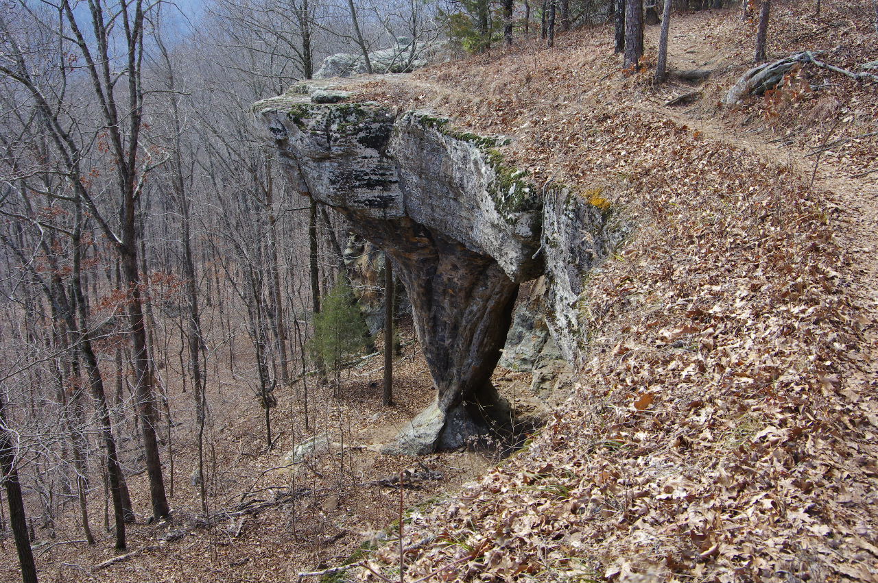
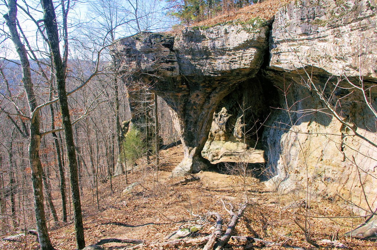
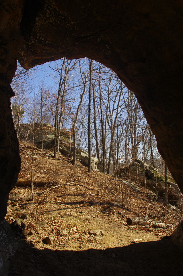
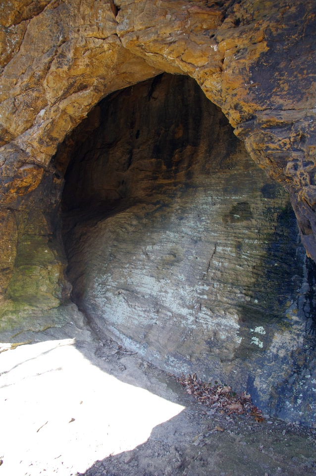
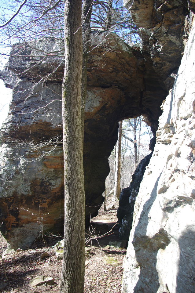
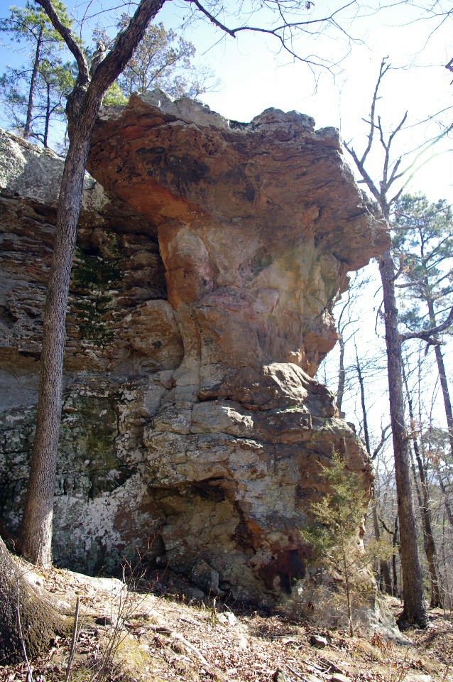
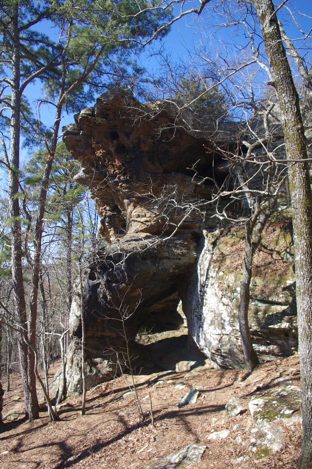
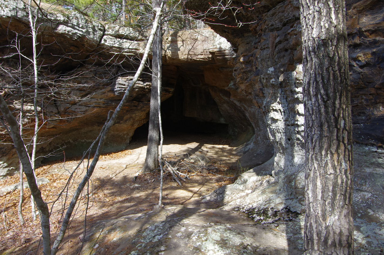
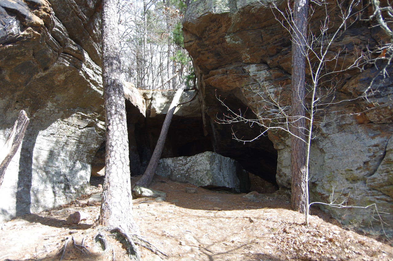
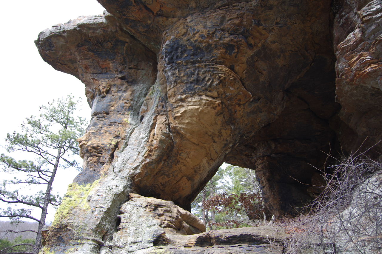
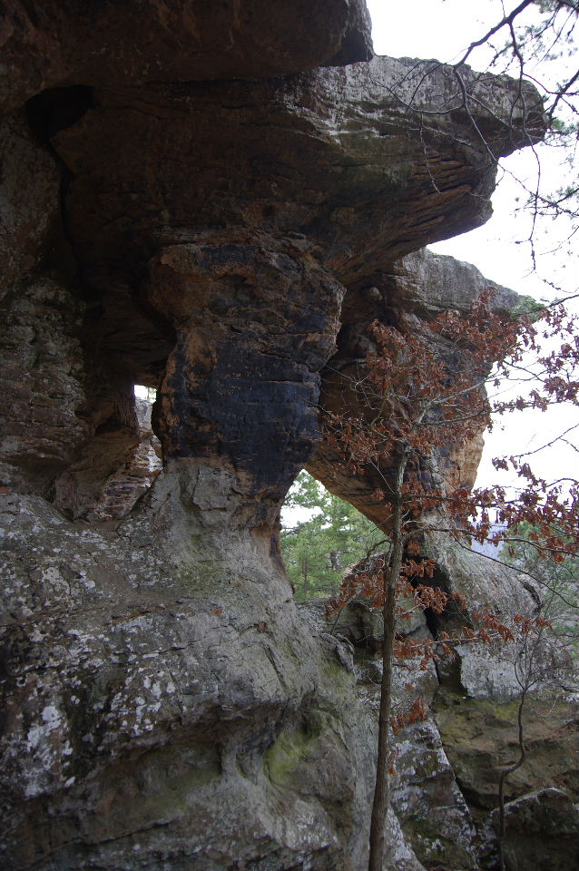
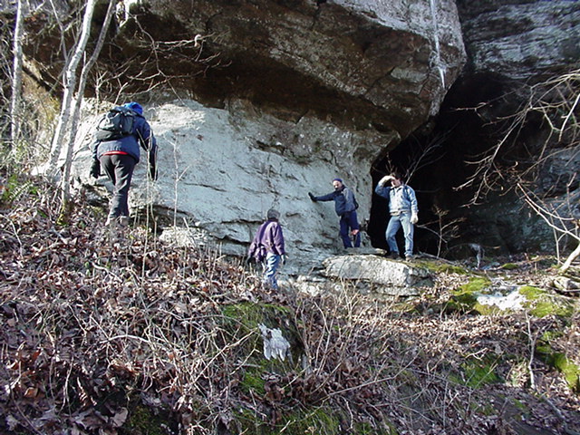
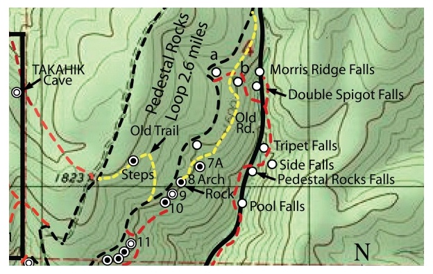
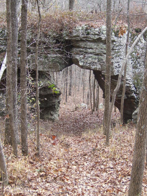 #8 Arch Rock 35.71395°, 93.01693° (Primitive trail leads down to Arch Rock and below bluffs) (Scroll down and follow The Wonders Downunder from this Arch Rock to some of the features found below) |
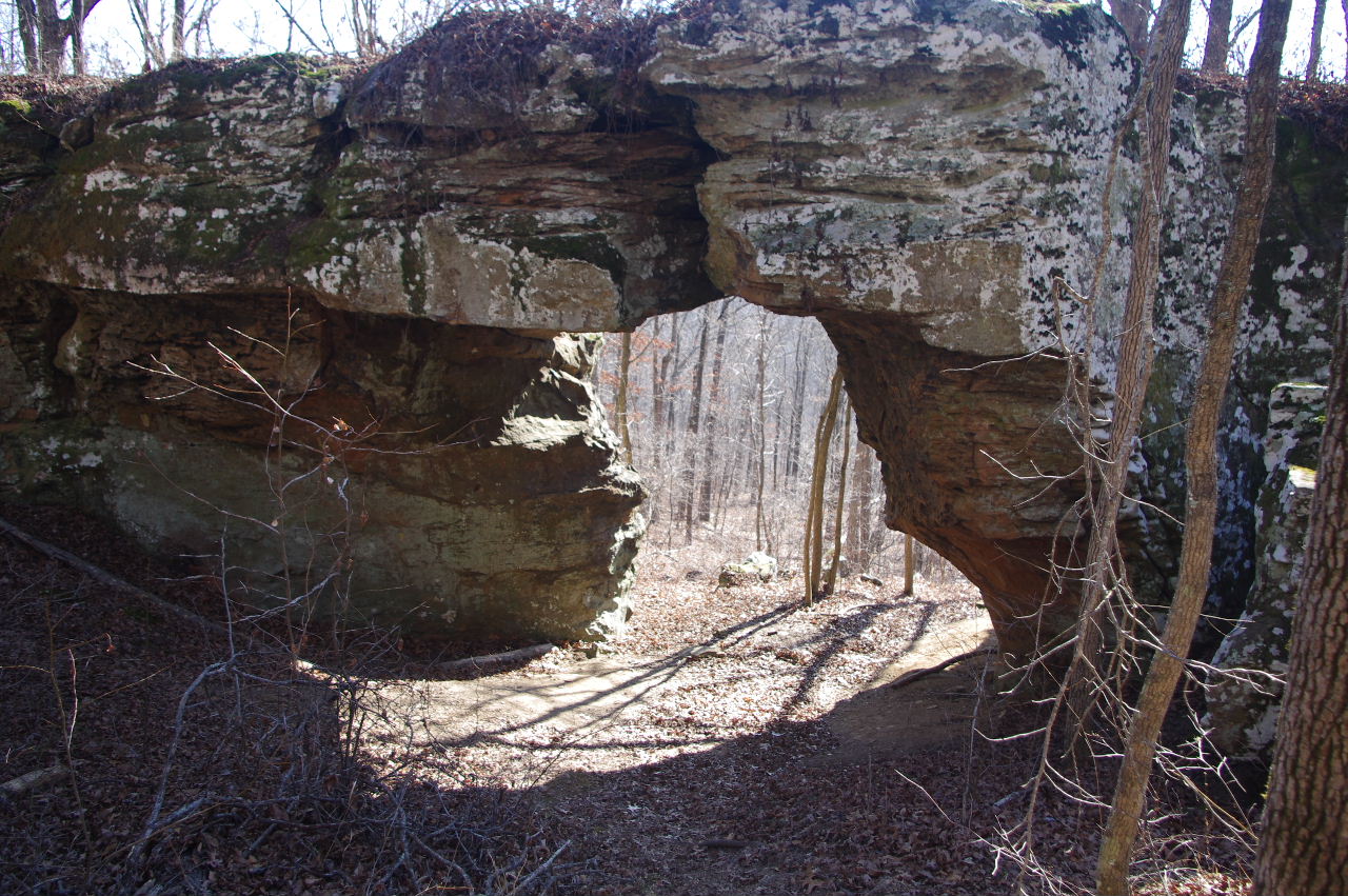 #8 Arch Rock 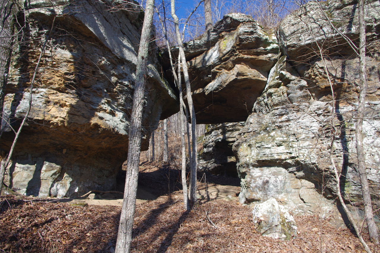 Backside of #8 Arch Rock |
|||||||
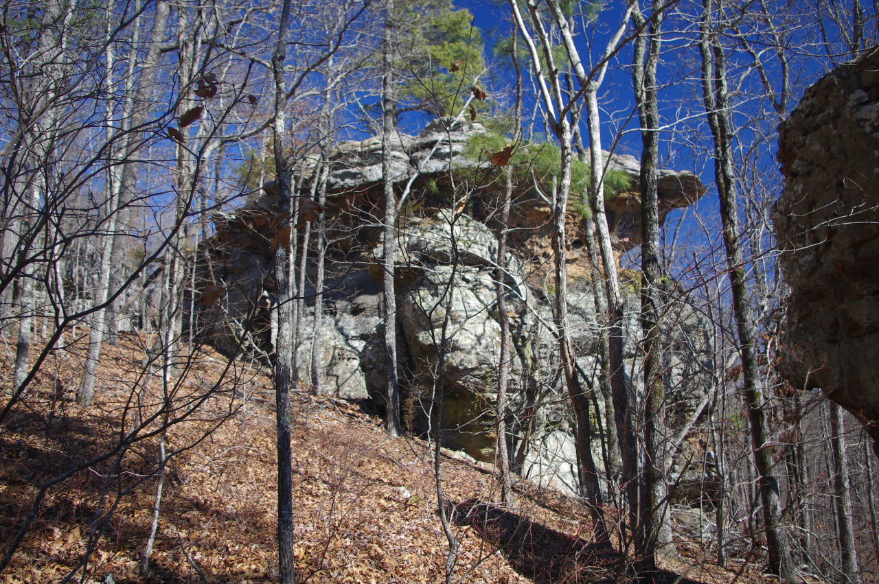
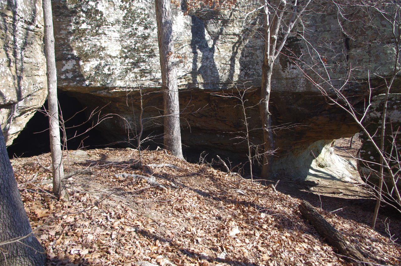
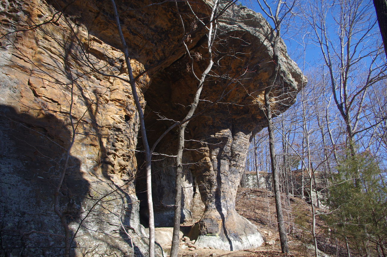
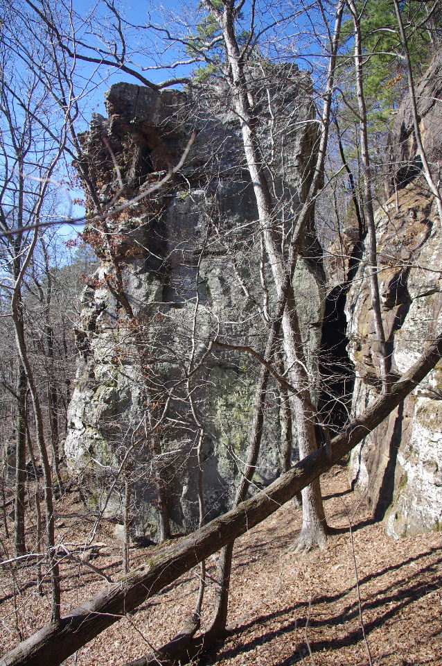
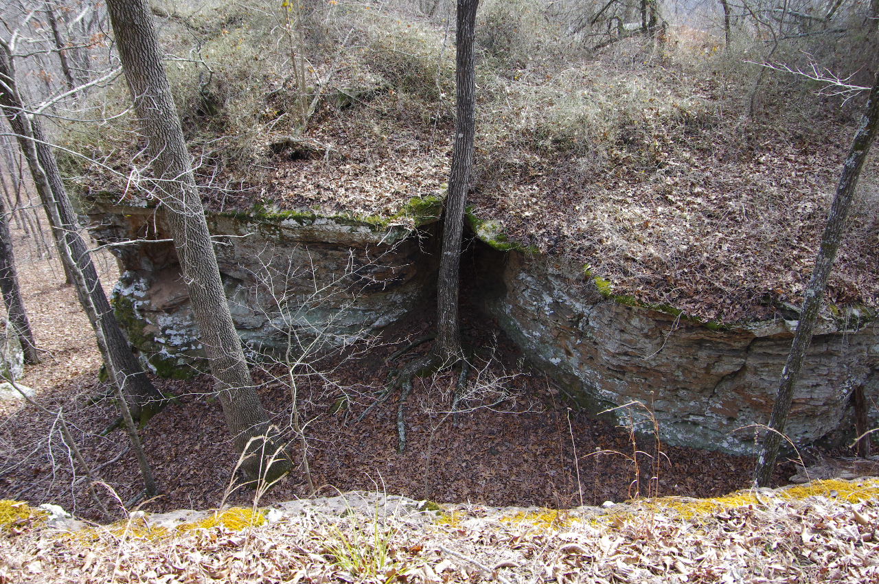 Looking down on #9 Cave Rock 35.71355°, 93.01728° |
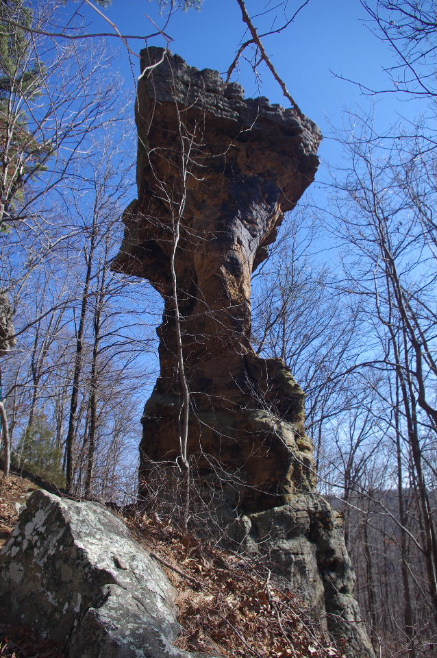
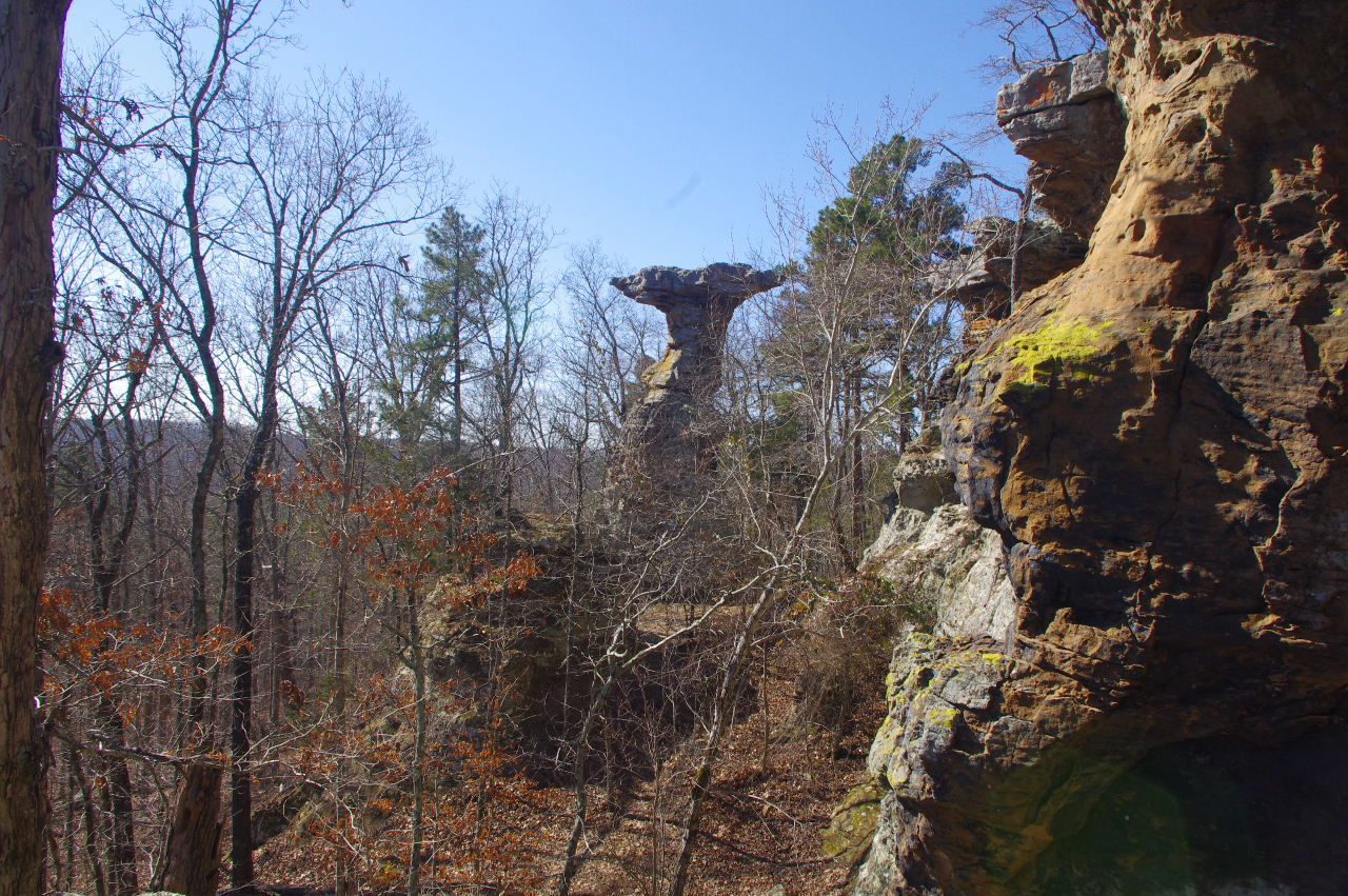
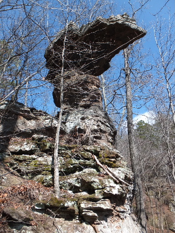
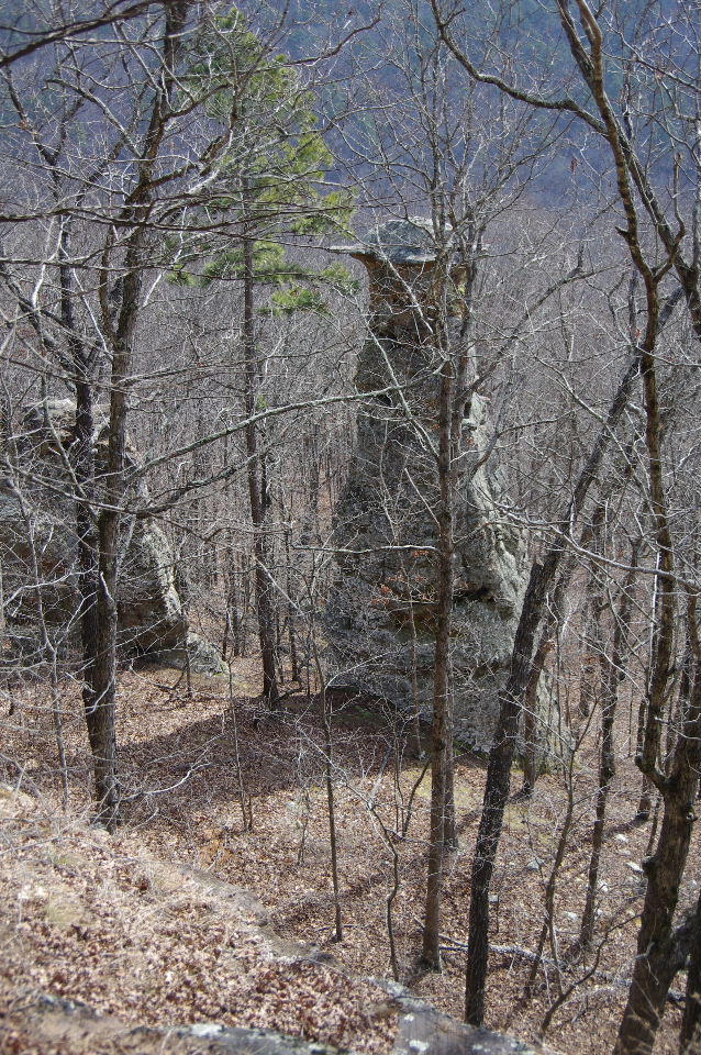 #10 Pedestal 35.71335°, 93.01730° (This is the first pedestal you see next to #9 Cave Rock) |
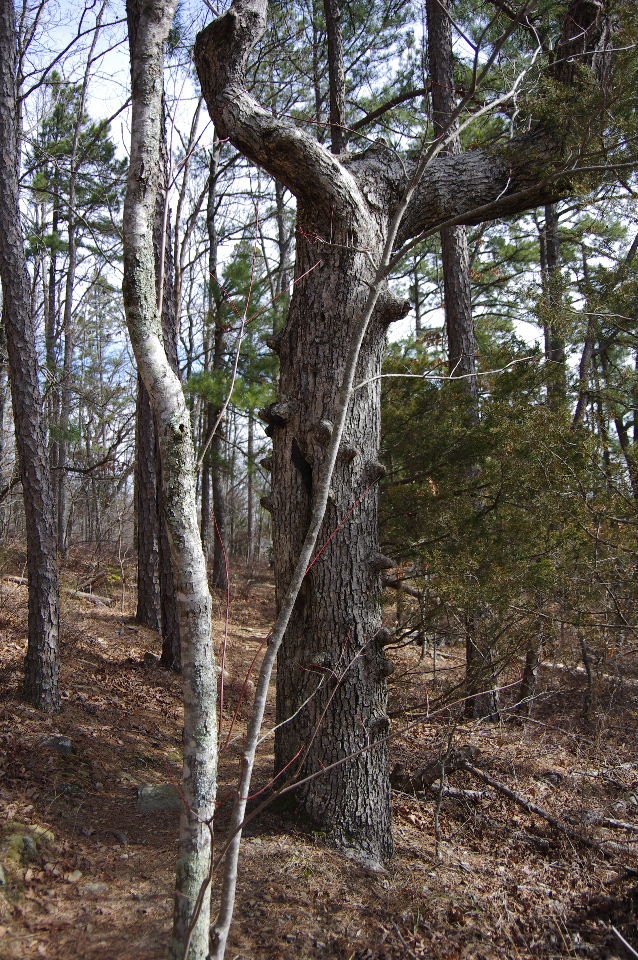 Knotty Tree |
|||||||
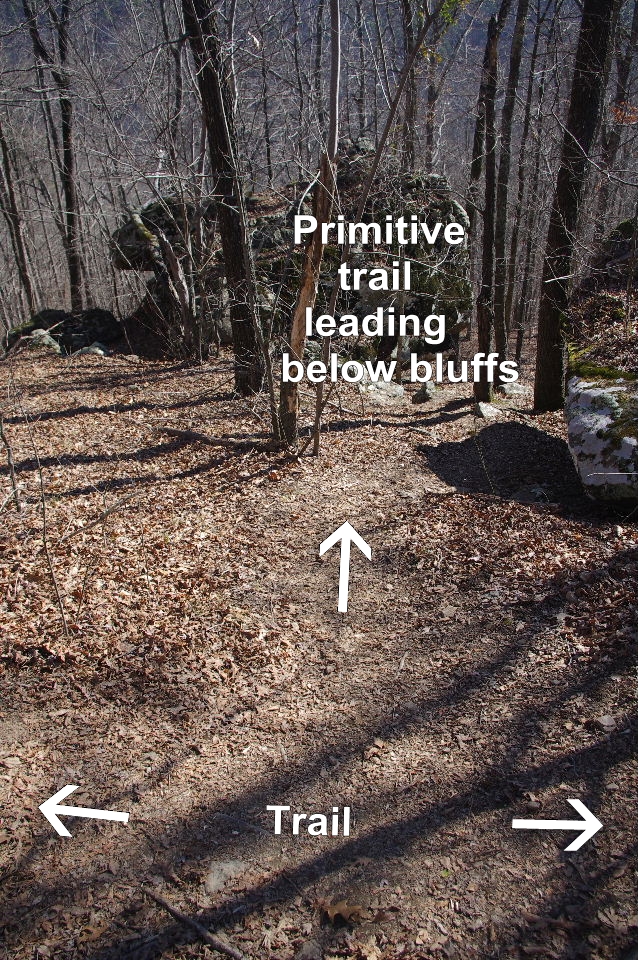 Primative leading down below bluffs. 35.71191°, 93.01885° |
 Vista 35.71177°, 93.01893° |
 #12 Sundae Pedestal 35.71157°, 93.01910° |
|||||||
 #12 Sundae Pedestal |
 First Railing Vista 35.71155°, 93.01931° Overlooking #13 Pedestal |
 #13 Pedestal 35.71150°, 93.01915° |
|||||||
 Primitive trail leading below bluffs. 35.71130°, 93.02013° |
 Second Railing Vista 35.71100°, 93.01994° |
 Second Railing Vista |
|||||||
 View from Second Railing Visita Looking south at #15 The Large Grotto |
 The Third Railing Vista 35.71064°, 93.02031° |
 The Third Railing Vista |
|||||||
 The Third Railing Vista looking south |
 Looking back at the Third Railing Vista |
 #17 Pedestal 35.70998°, 93.02060° |
|||||||
 The Crack Railing 35.71017°, 93.02078° |
 The Crack Railing |
 Looking back at The Crack Railing |
|||||||
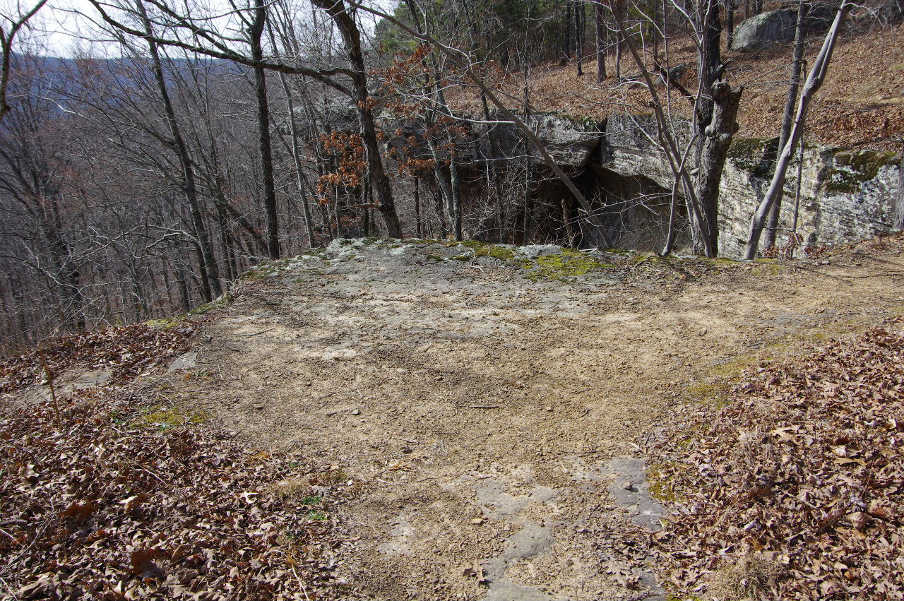
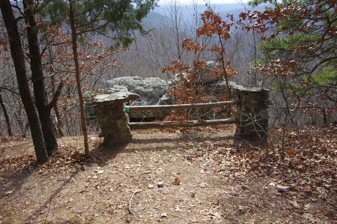
 Patio Vista 35.71004°, 93.02166° |
 Old Steps leading down under bluffs 35.71042°, 93.02178° |
 Trail Sign |
|||||||
 Trail leading to Famous Pedestal and Trailhead Parking (Trail splits and heads to Famous Pedestal about 100' from this sign) |
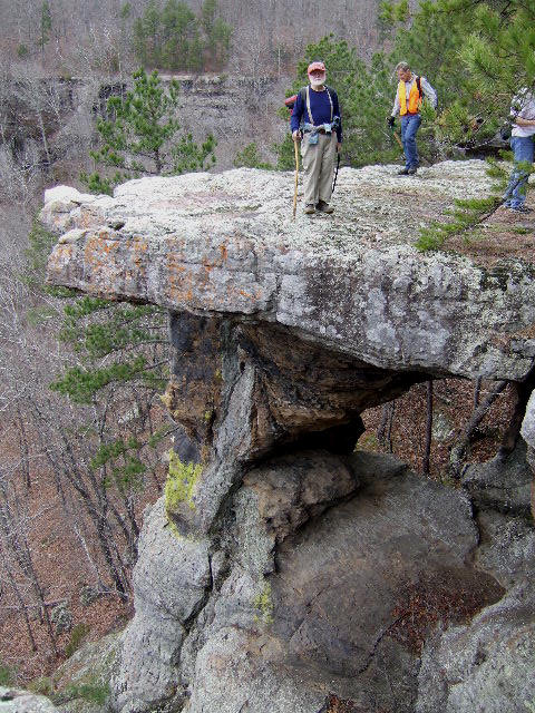
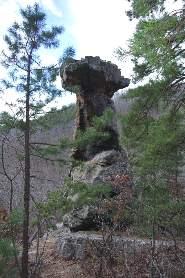
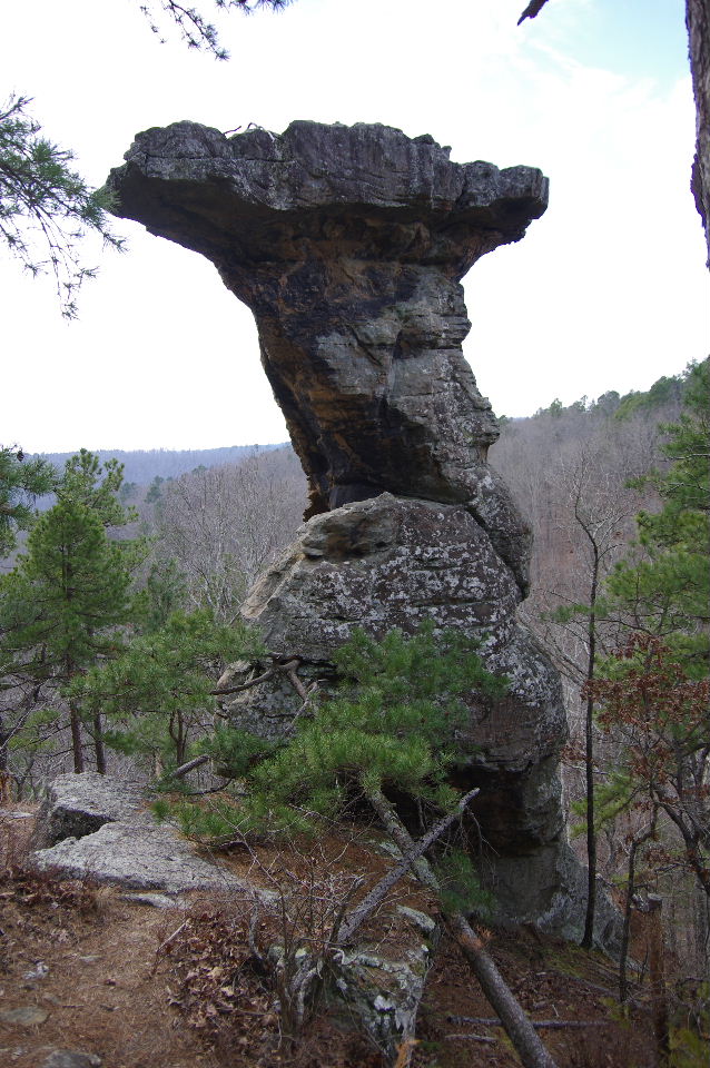
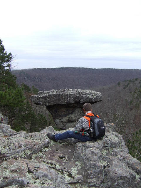 Vista at #27 Famous Pedestal |
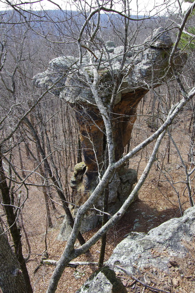
 #27 Famous Pedestal 35.71117°, 93.02290° |
|||||||
|
|
|||||||||
|
The Wonders Downunder (From the Arch Rock we will leave the trail and follow bluff line downunder) |
|||||||||
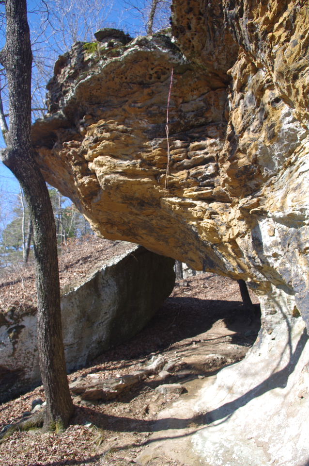
 Just below the "pointed rock" and an old road is the Bear Crack Rock #7A |
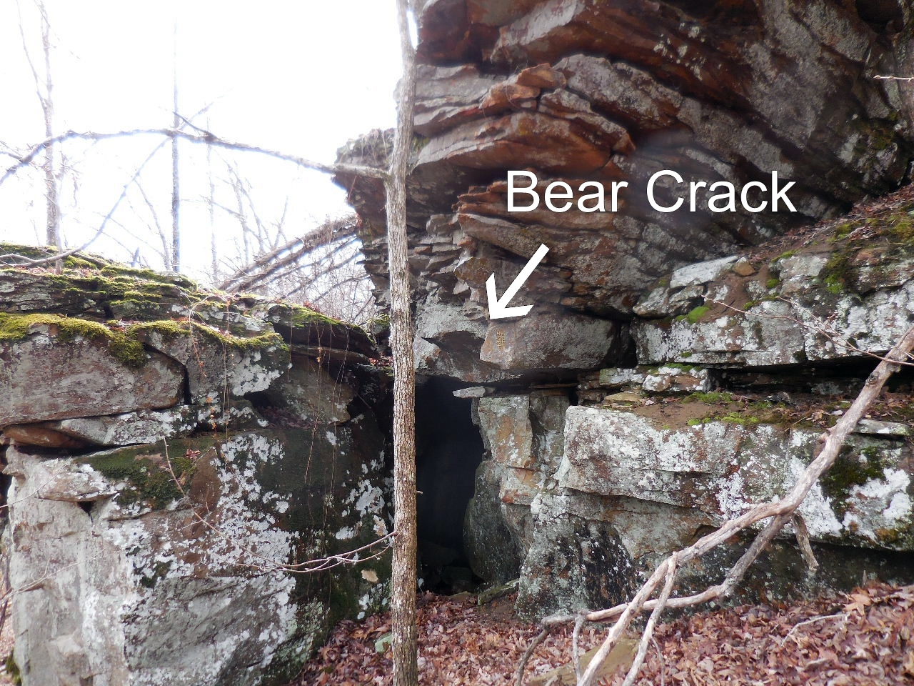 Bear Crack Rock #7A 35.71447°, 93.01545° |
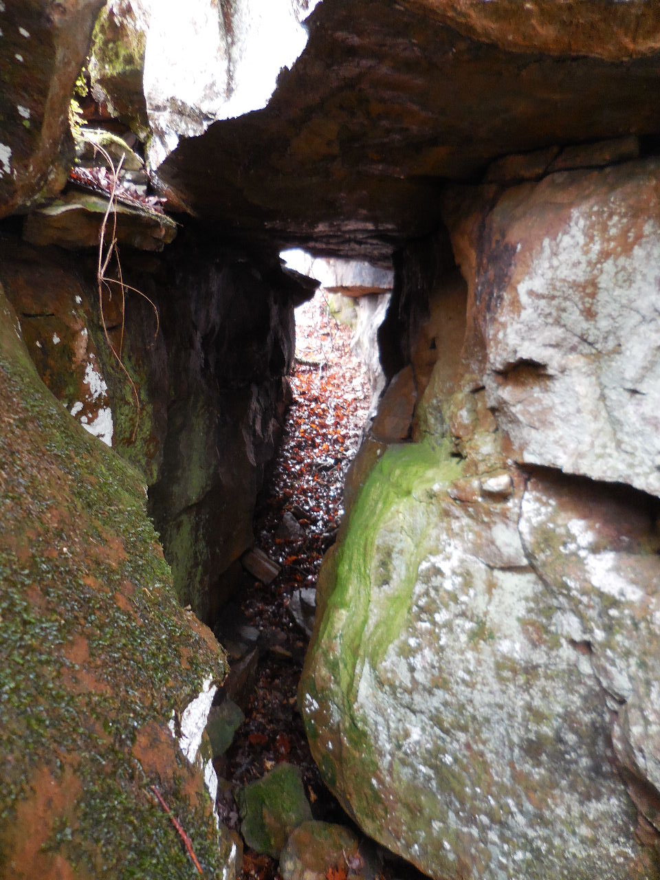 Bear Crack Rock #7A |
|||||||
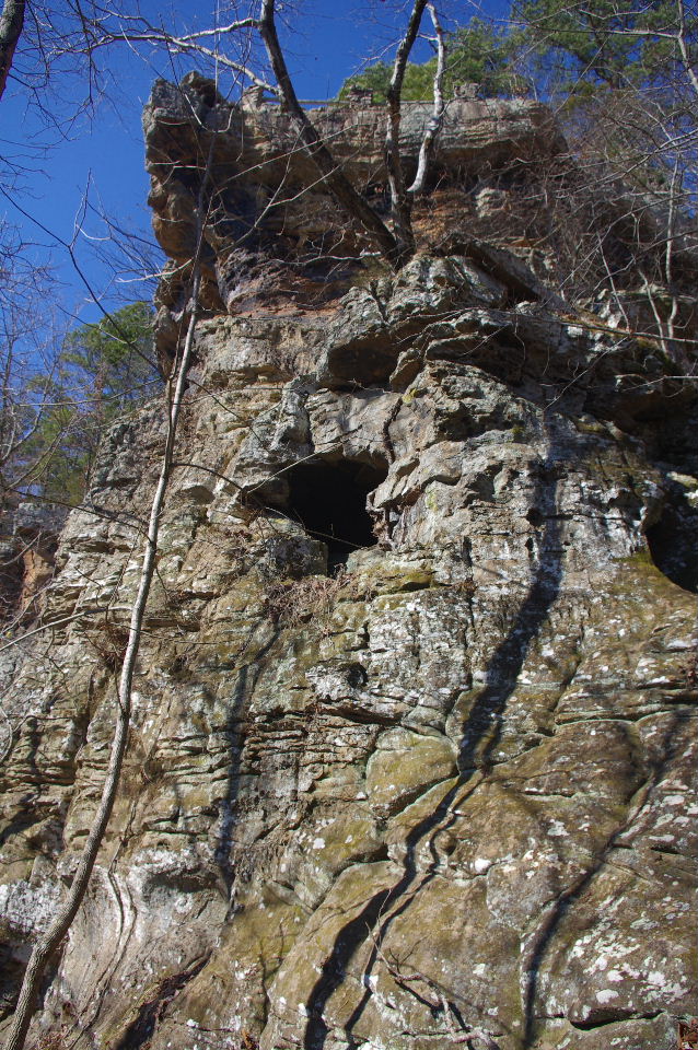
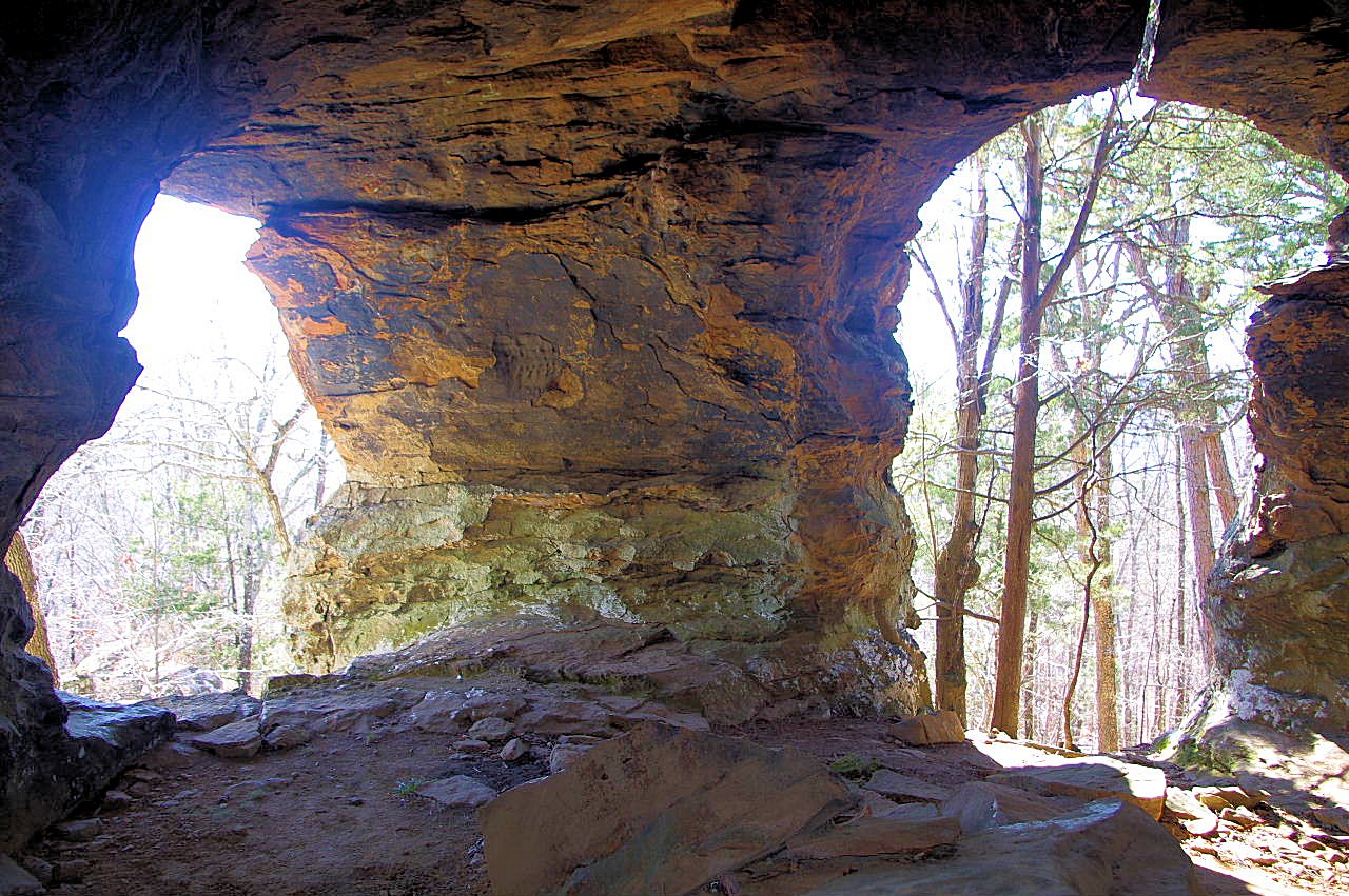
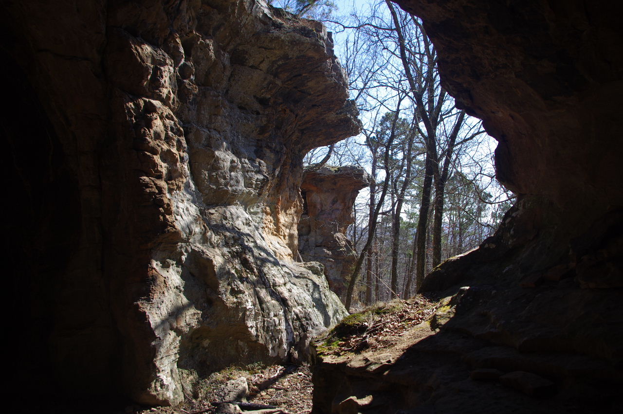
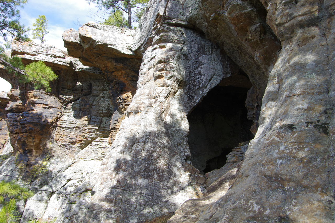
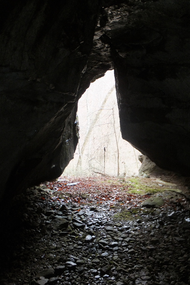
 #9 Cave Rock 35.71355°, 93.01728° (Located just south of Arch Rock) |
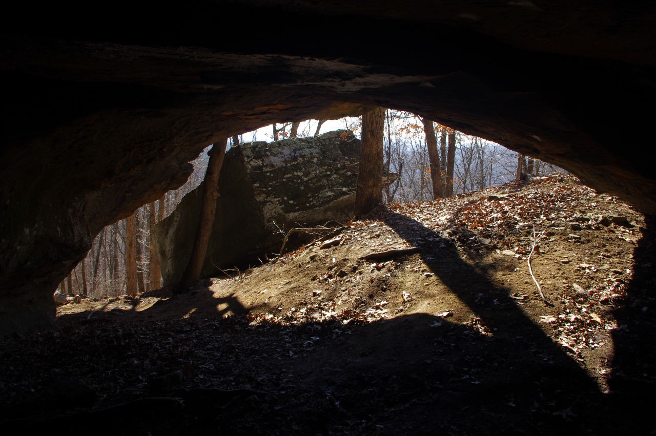
 Entrance to #9 Cave Rock |
 Inside #9 Cave Rock looking out the back |
|||||||
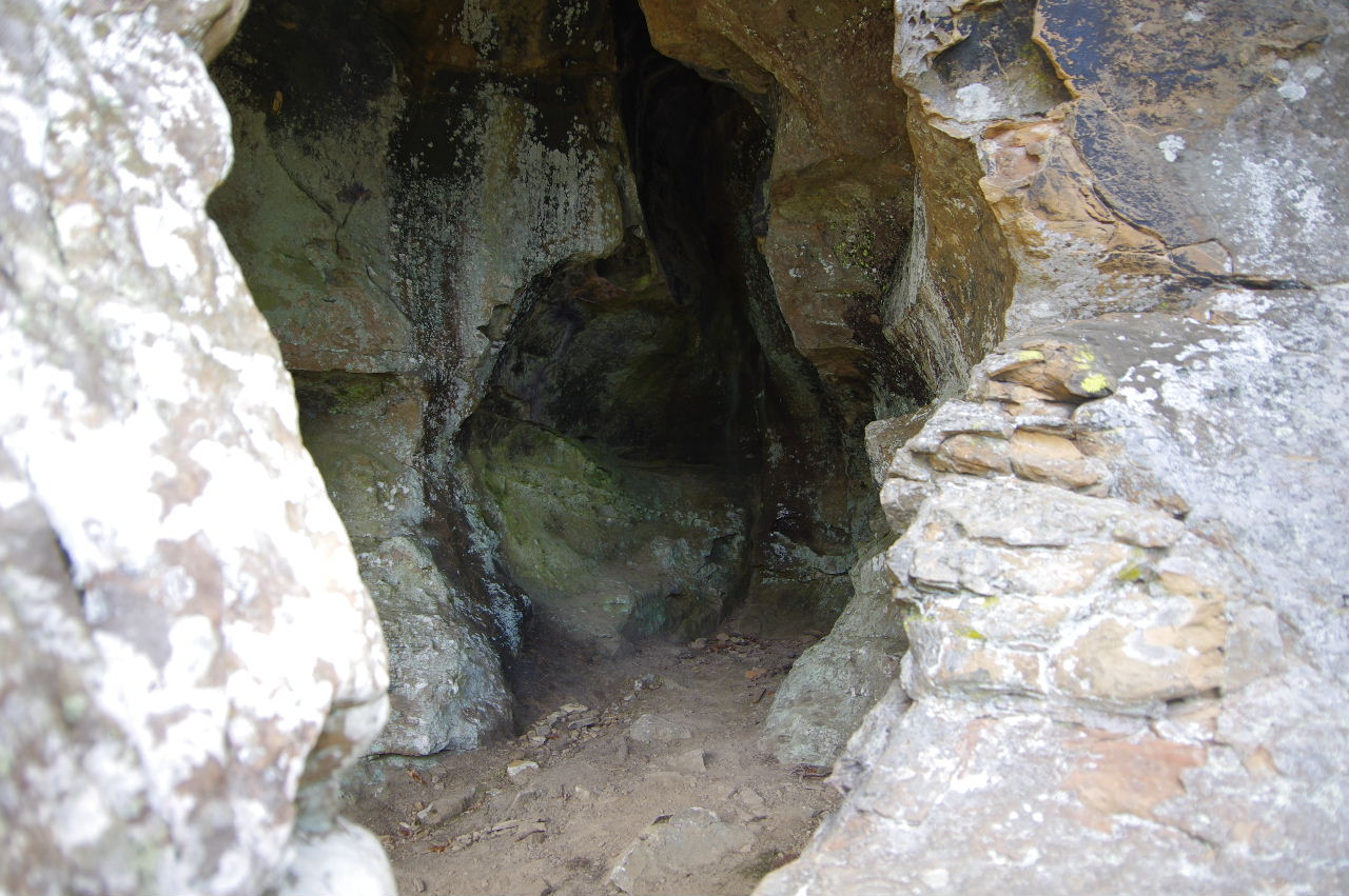
 Inside of #9 Cave Rock |
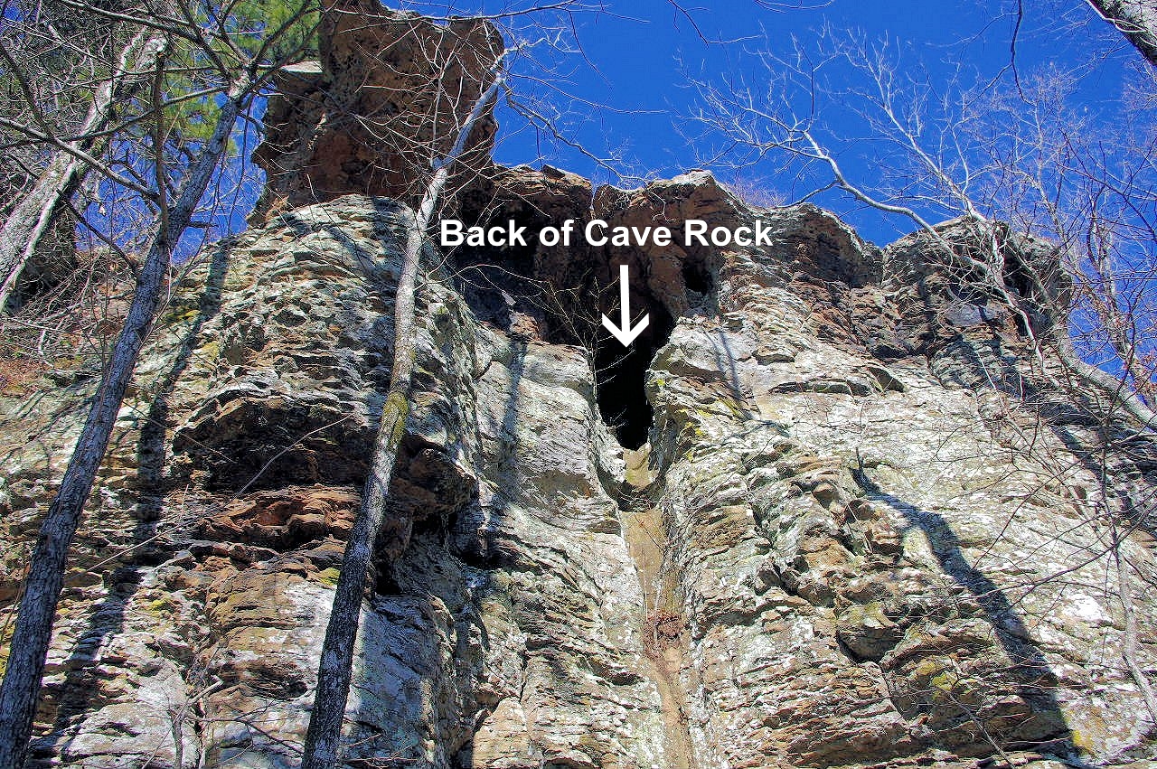 Back of #9 Cave Rock |
 #9 Cave Rock South side view |
|||||||
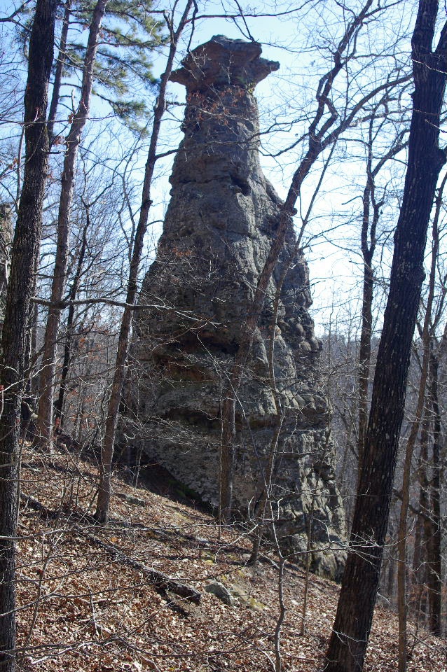 #10 Pedestal (Just south of #9 Cave Rock) |
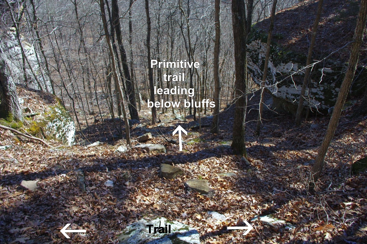
Primitive trail leading below bluffs 35.71197°, 93.01885° (You can access below bluffs here or at Arch Rock) |
 Primitive trail wraps around to the right. |
|||||||
 #11 Wet Grotto |
 Inside #11 Wet Grotto looking out 35.71182°, 93.01902° |
 #12 Sundae Pedestal (Looking south) 35.71157°, 93.01910° |
|||||||
 Inside #12 Sundae Pedestal looking at #13 Pedestal |
 Inside #12 Sundae Pedestal looking north |
 Back wall of #12 Sundae Pedestal |
|||||||
 Looking north at #12 Sundae Pedestal |
 #13 Pedestal 35.71150°, 93.01915° |
 #13 Pedestal |
|||||||
 #14 The Climbing Rock 35.71150°, 93.01950° |
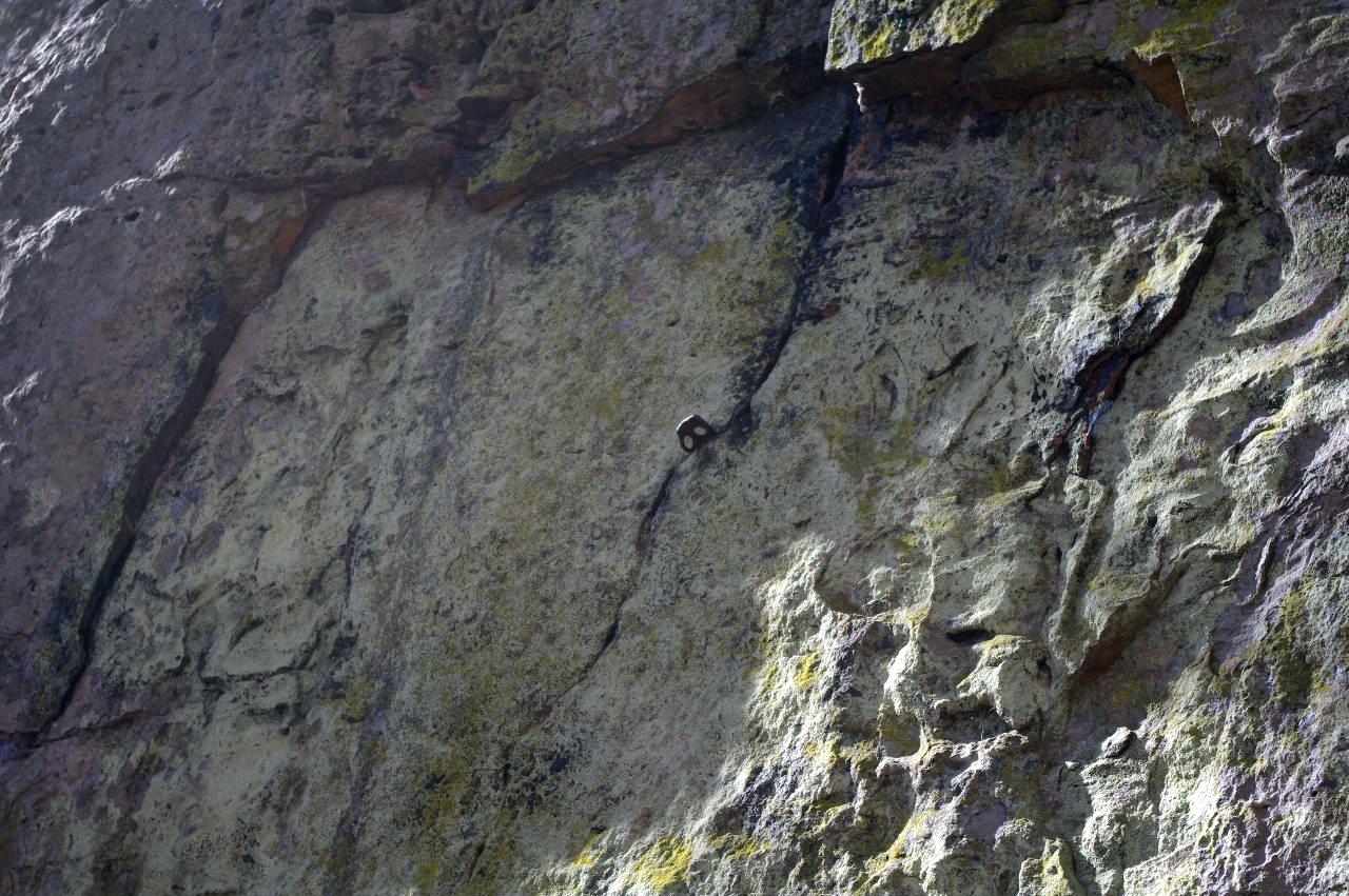 Several climbing clips on north side. |
Down from trail or up from below bluffs 35.71130°, 93.02013° |
|||||||
 |
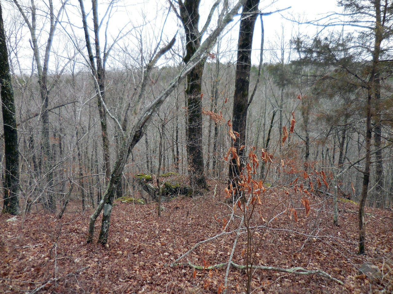
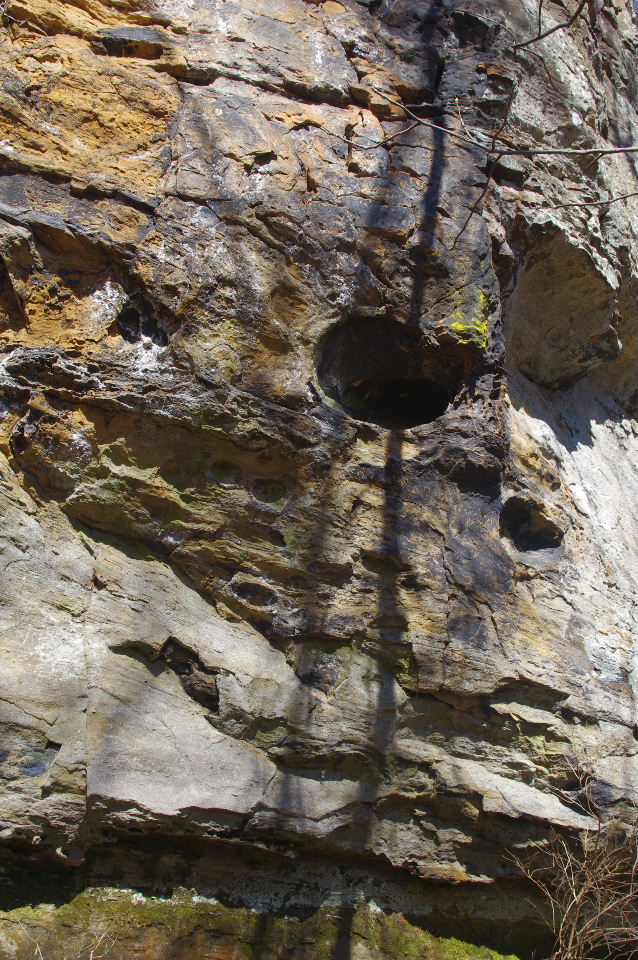
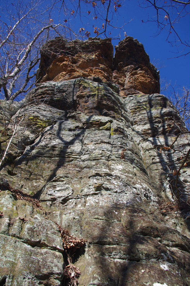
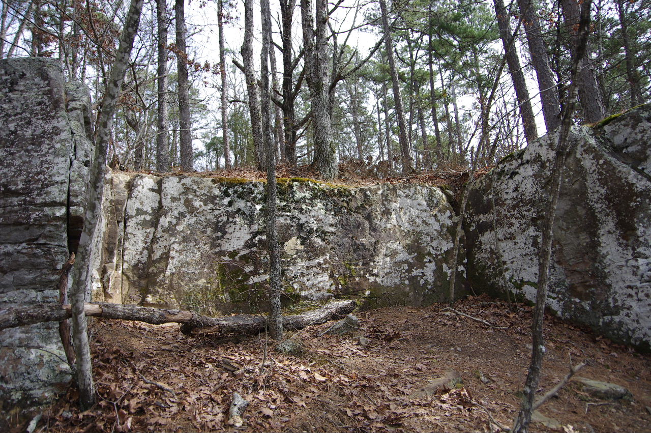
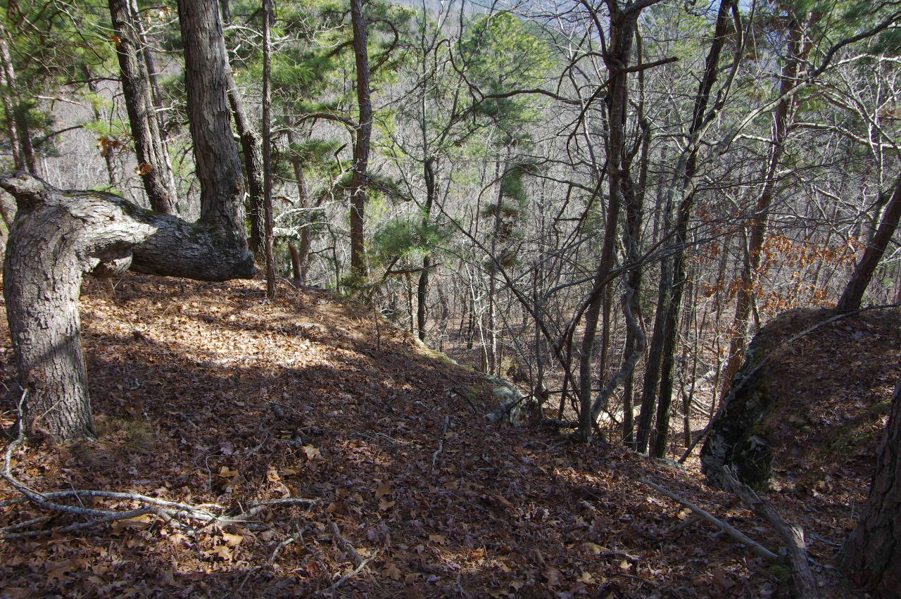
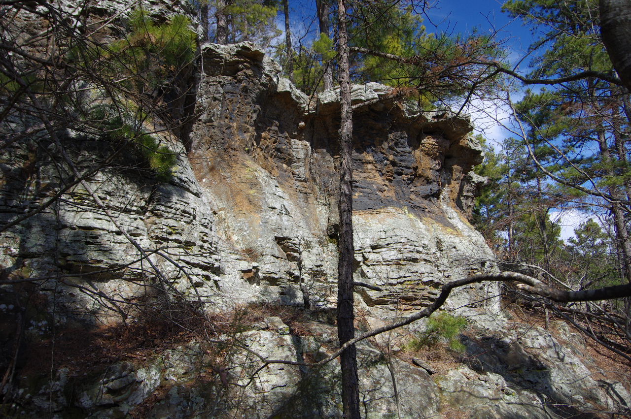
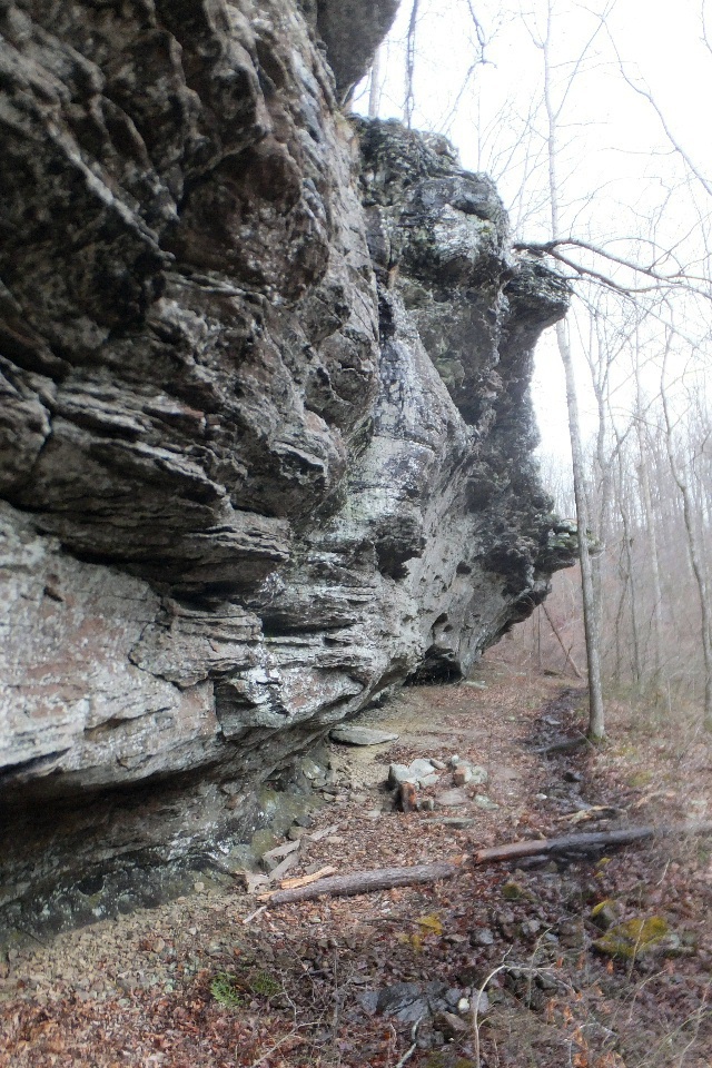
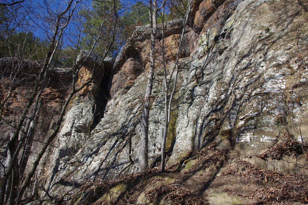 Some of the bluffs along the way.... |
 |
|||||||
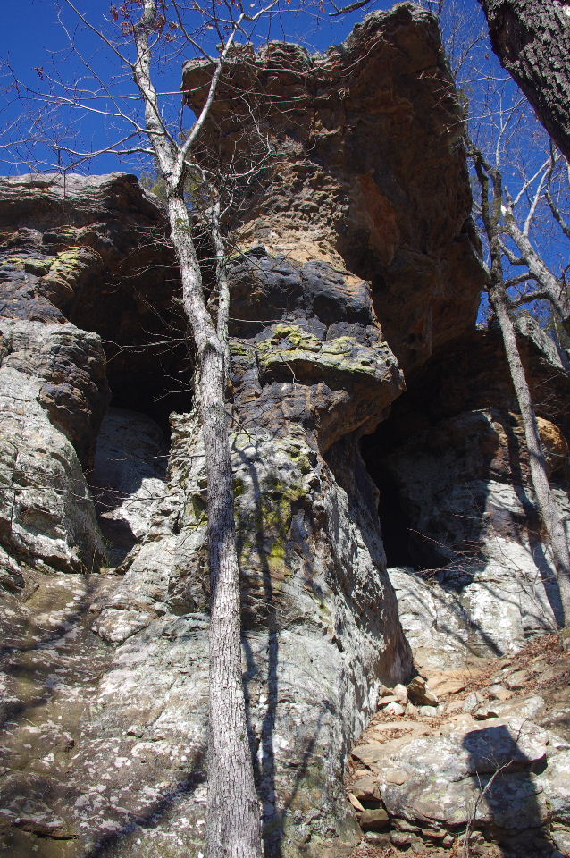
 #15 The Large Grotto 35.71055°, 93.02013° |
 More bluffs ...... |
 #16 The Double 35.71012°, 93.02045° |
|||||||
 Inside #16 The Double |
 From inside looking out #16 The Double |
 North entrance to #16 The Double |
|||||||
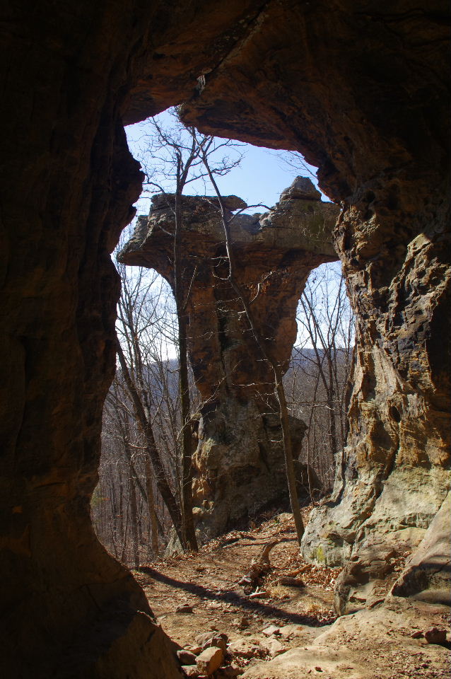
 Approaching #17 Pedestal |
 #17 Pedestal 35.70998°, 93.02060° |
 Entrance to #18 The Uppers 35.71000°, 93.02073° |
|||||||
 Inside #18 The Uppers |
 #18 The Uppers (left view) |
.JPG) #18 The Uppers (right view) |
|||||||
 #18 The Uppers (south view) |
 Exit wall in the #18 The Uppers |
 Inside #18 The Uppers |
|||||||
 #19 The Leaner 35.70995°, 93.02078° |
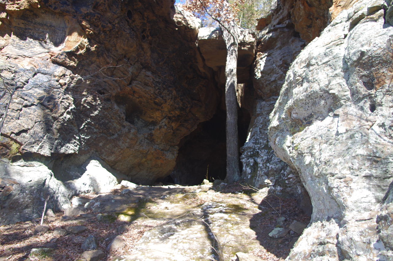 First entrance #20 The Leaning Tree Room |
 First entrance #20 The Leaning Tree Room |
|||||||
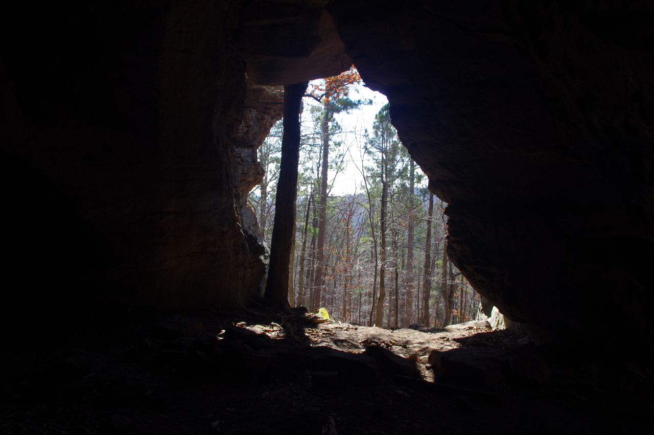
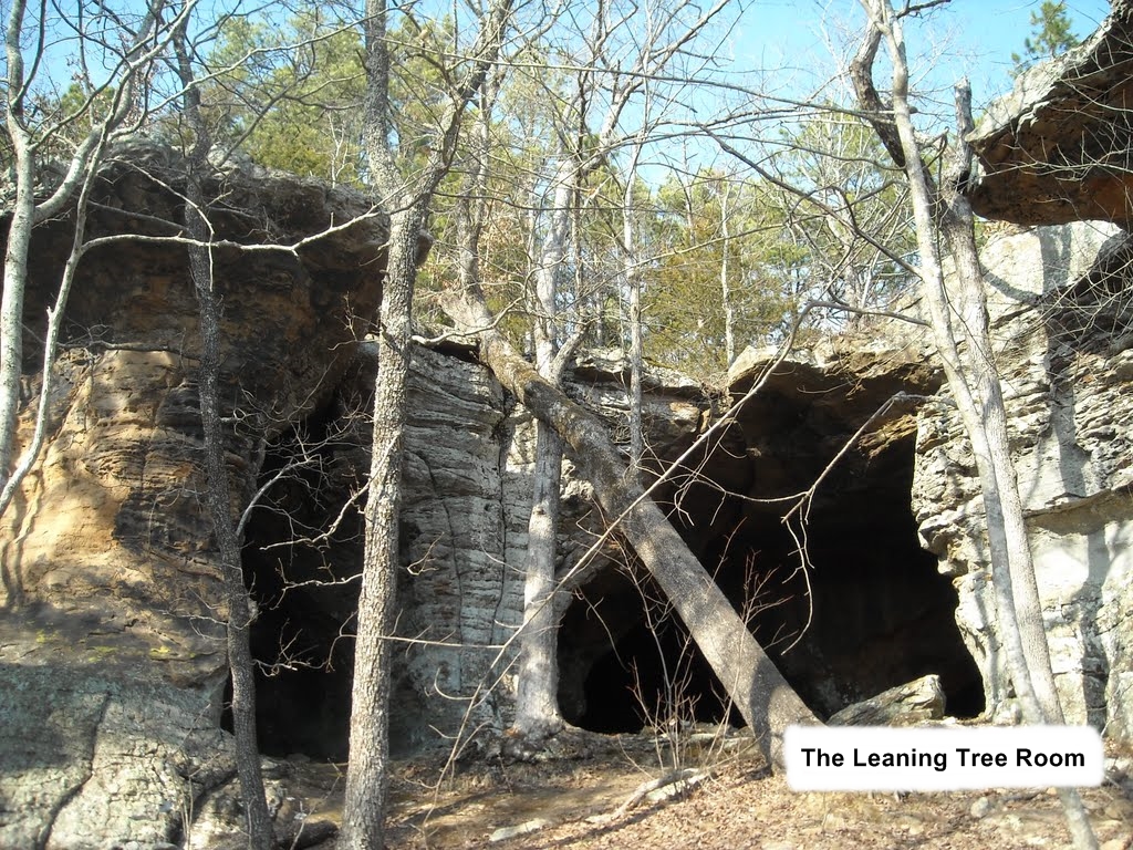 Outside the second entrance.... #20 The Leaning Tree Room |
 From inside #20 The Leaning Tree Room 35.70993°, 93.02083° |
 Inside #20 The Leaning Tree Room |
|||||||
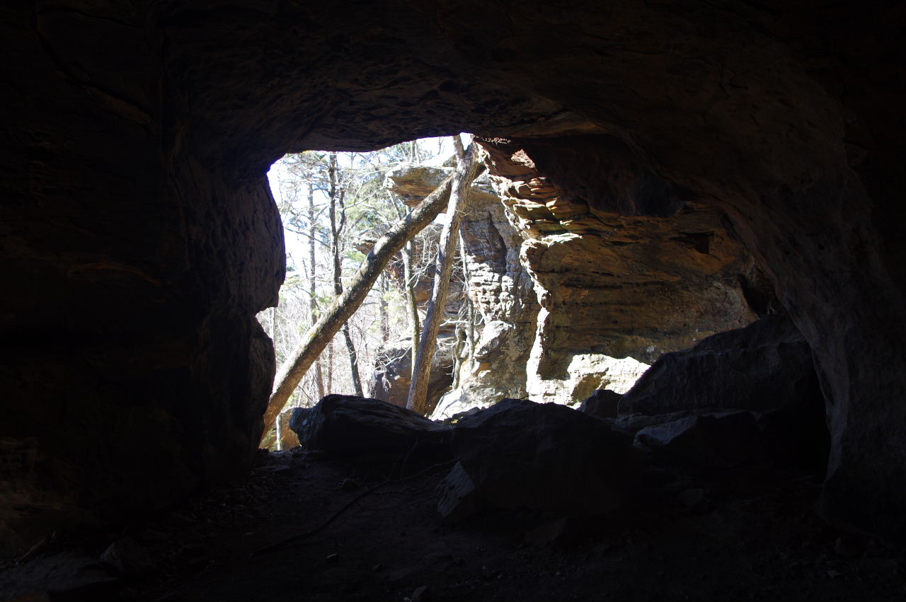
 More ...... |
 ...... and more. |
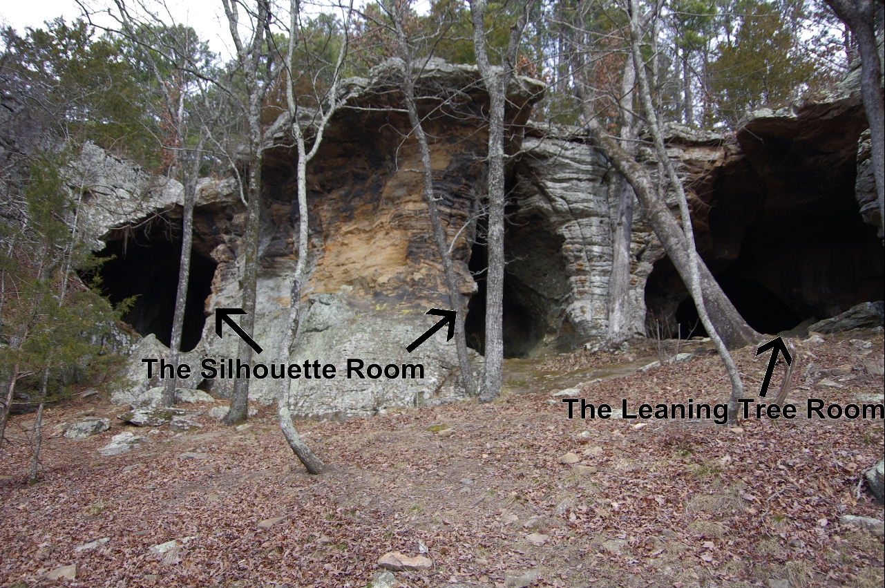
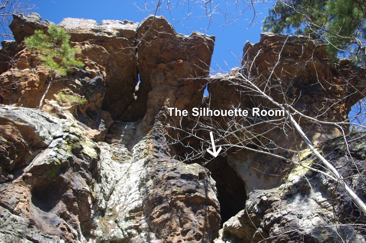
 East entrance #21 The Silhouette Room |
|||||||
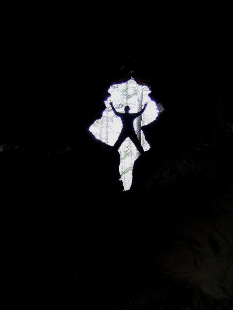 #21 The Silhouette Room |
 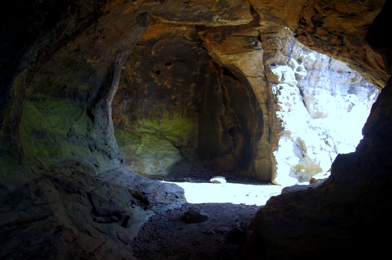 Inside #21 The Silhouette Room 35.71002°, 93.02155° |
 From outside #21 The Silhouette Room |
|||||||
 Looking down from trail  This is where you access downunder ..... 35.71042°, 93.02178° Continuing on around and under the bluffs.... |
 Entrance #22 The Big Room 35.71043°, 93.02222° 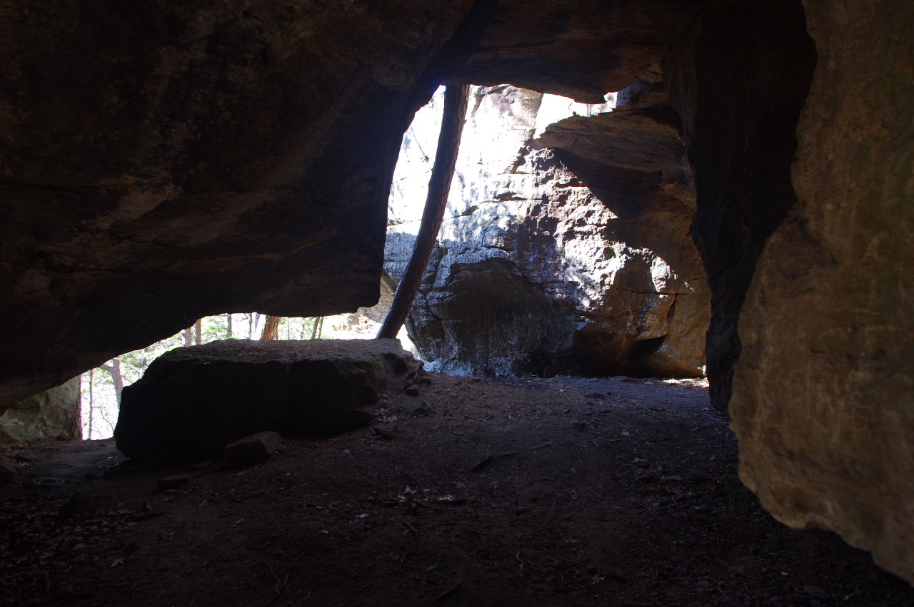 Inside #22 The Big Room |
 Exit #22 The Big Room at the Leaning Pine Tree |
|||||||
 On around north from #22 The Big Room (At this level you can only go on to The Elephant Cave. You need to drop down to continue) |
 The Sliver Rock (Just past this is The Elephant Cave) |
 #23 The Elephant Cave 35.70152°, 93.02238° |
|||||||
 Looking inside #23 The Elephant Cave |
 #24 The Red Heart Tunnel 35.71063°, 93.02247° 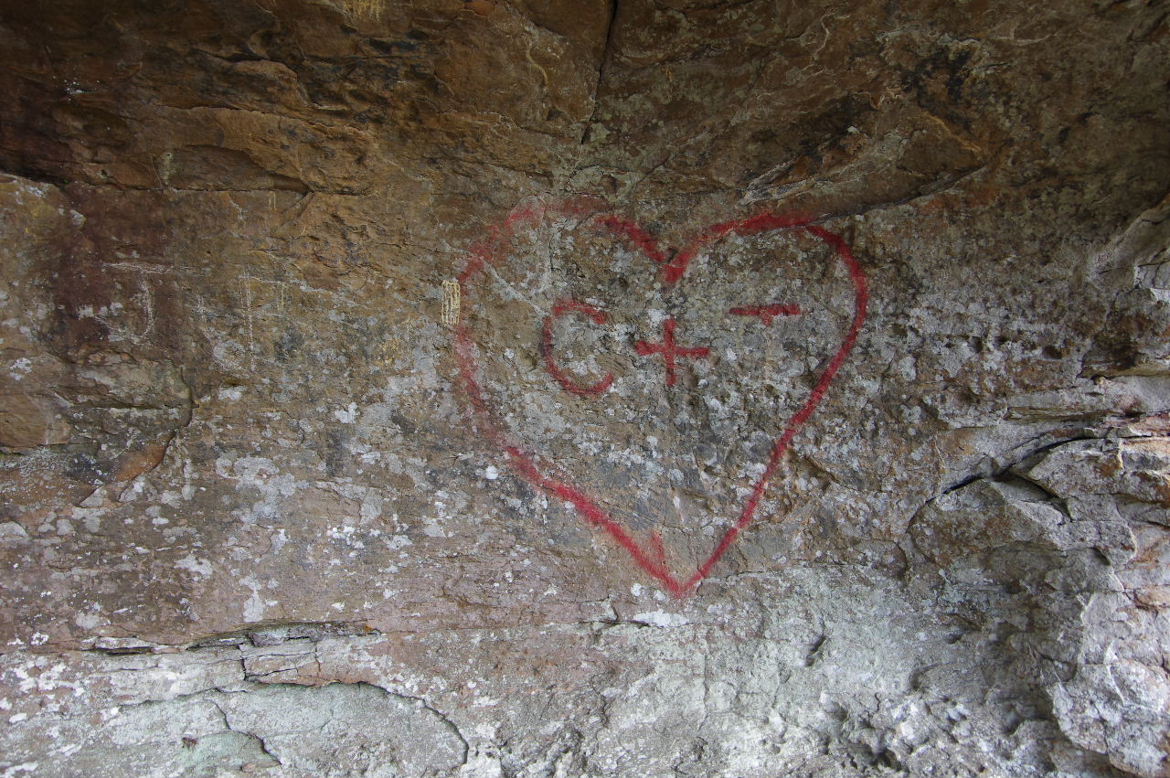 Inside wall |
 Standing on top of #24 |
|||||||
 Looking back at #24 |
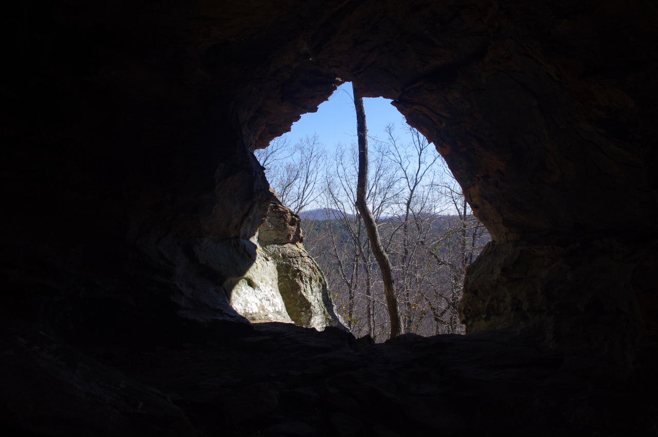
 #25 Cave 35.71078°, 93.02264° |
 #26 Cave 35.71089°, 93.02275° |
|||||||
 Down from trail to get to get to caves and Famous Pedestal 35.71107°, 93.02256° |
 #27 Famous Pedestal 35.71117°, 93.02290° |
 #27 Famous Pedestal |
|||||||
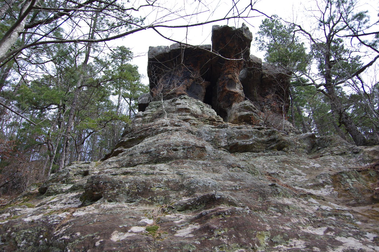 #28 Vista Cave |
 #28 Vista Cave 35.71125°, 93.02293° |
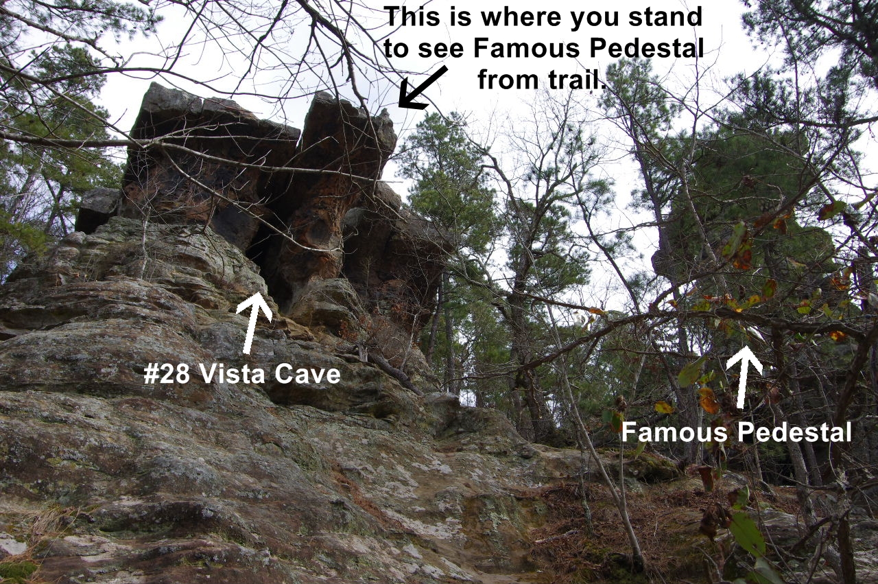 Vista Cave and Famous Pedestal |
|||||||
 Down to #27 Famous Pedestal and #28 Vista Cave from trail. 35.71139°, 93.02264° (From this point it is better to follow trail on around to Uno Pedestal and Twin Arched Pedestal) |
 Vista #29 35.71170°, 93.02307° |
 Vista #30 35.71202°, 93.02310° |
|||||||
 Looking down at #31 Uno Pedestal |
 #31 Uno Pedestal 35.71165°, 93.02347° |
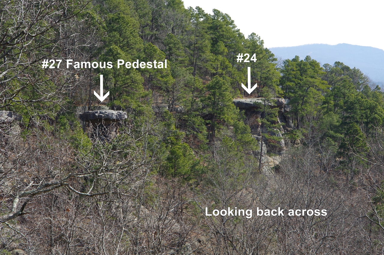 Looking back across from Uno Pedestal |
|||||||
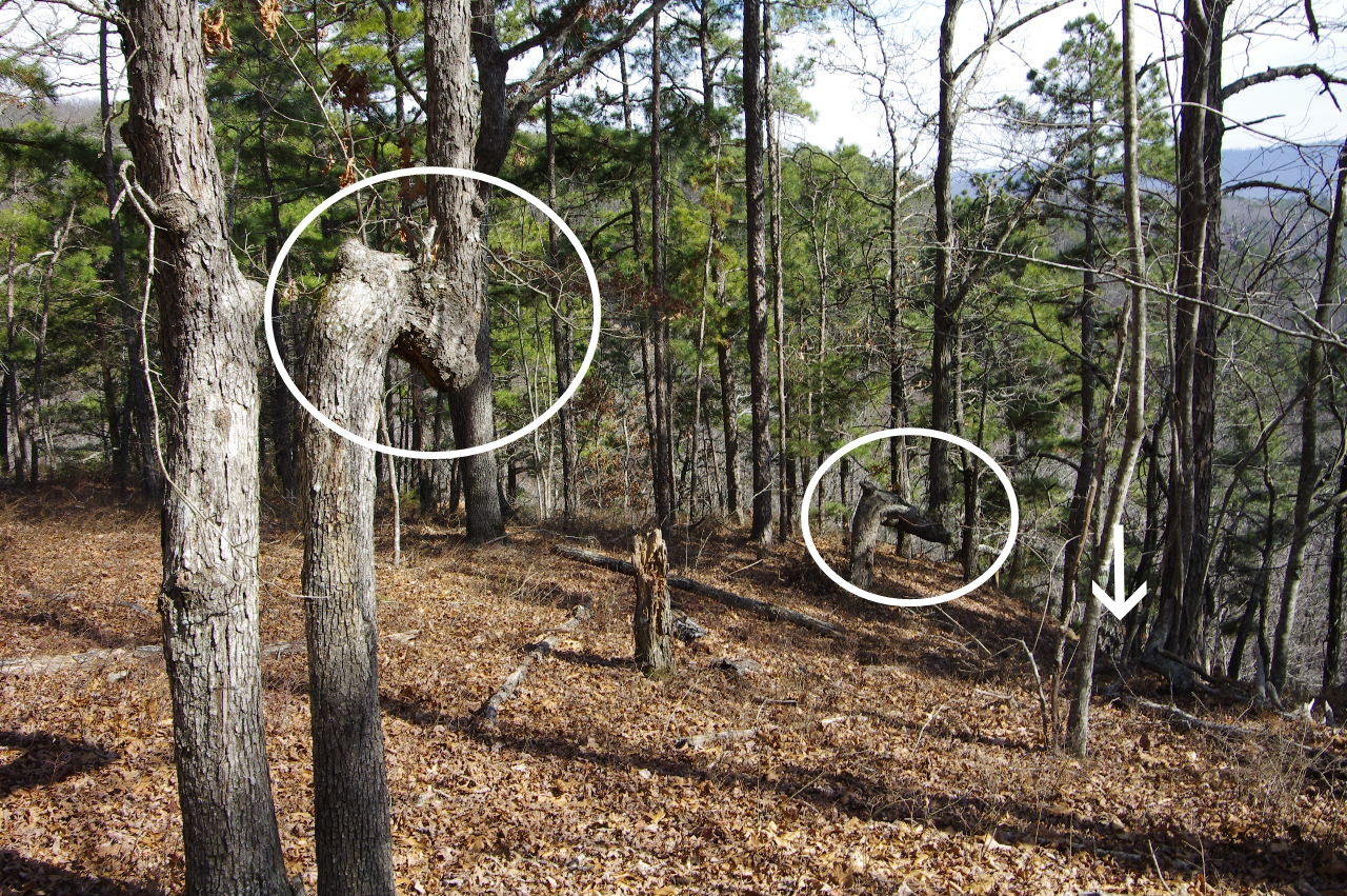 #32 Thone Trees leading to cave and way down to the #34 Twin Arched Pedestal 35.71050°, 93.02467° |
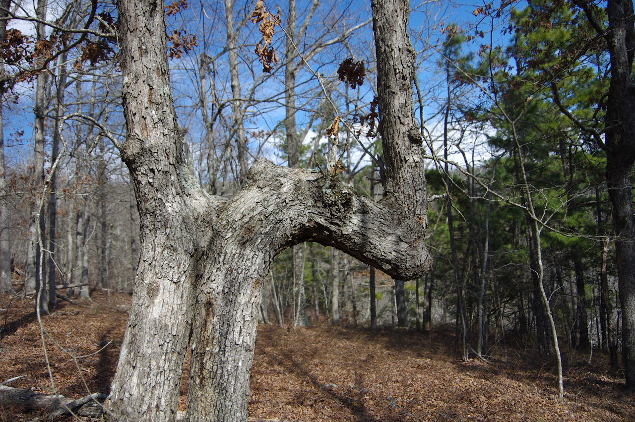 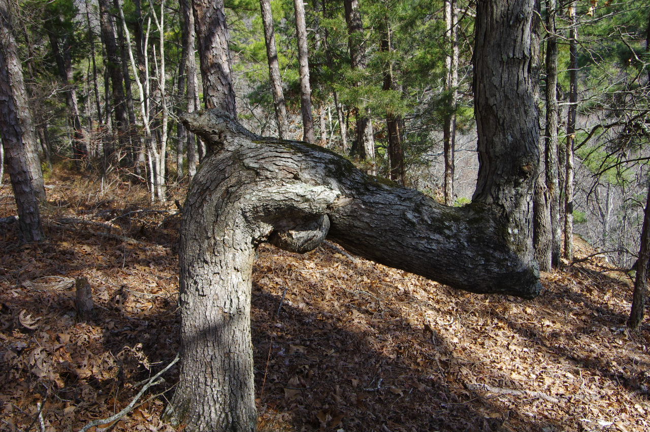 Closeup of the two Thone Trees (Native Americans would bend trees in order to create trail markers and served multiple purposes. From indicating that water and food was nearby, shelters and to warn travelers of rough country ahead?) |
 Points to way to get down off of bluff and to #33 Cave |
|||||||
 #33 Cave 35.71045°, 93.02460° (Just below Thone Tree) |
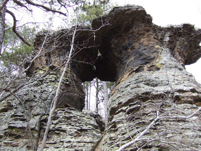 #34 Twin Arched Pedestal 35.71022°, 93.02483° |
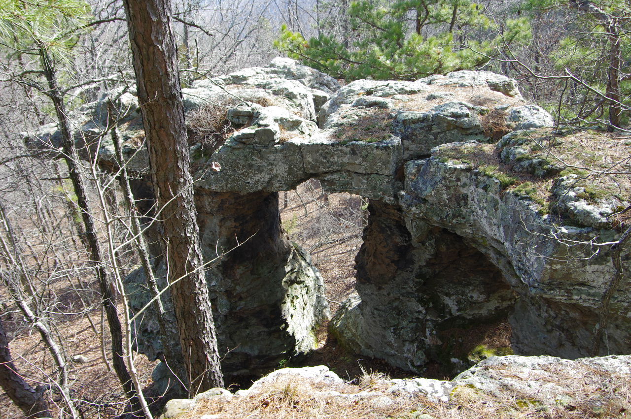 #34 Twin Arched Pedestal |
|||||||
 Top of #34 Twin Arched Pedestal (You can actually walk out on top from bluff line) |
 This is another way down off of bluff just past #34. 35.71016°, 93.02504° |
 Last Rock Feature #35 35.71003°, 93.02518° |
|||||||
|
Miscellaneous Features TAKAHIK Cave  |
|||||||||
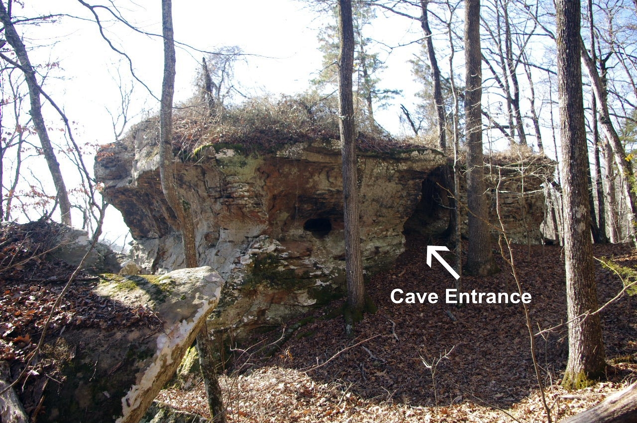
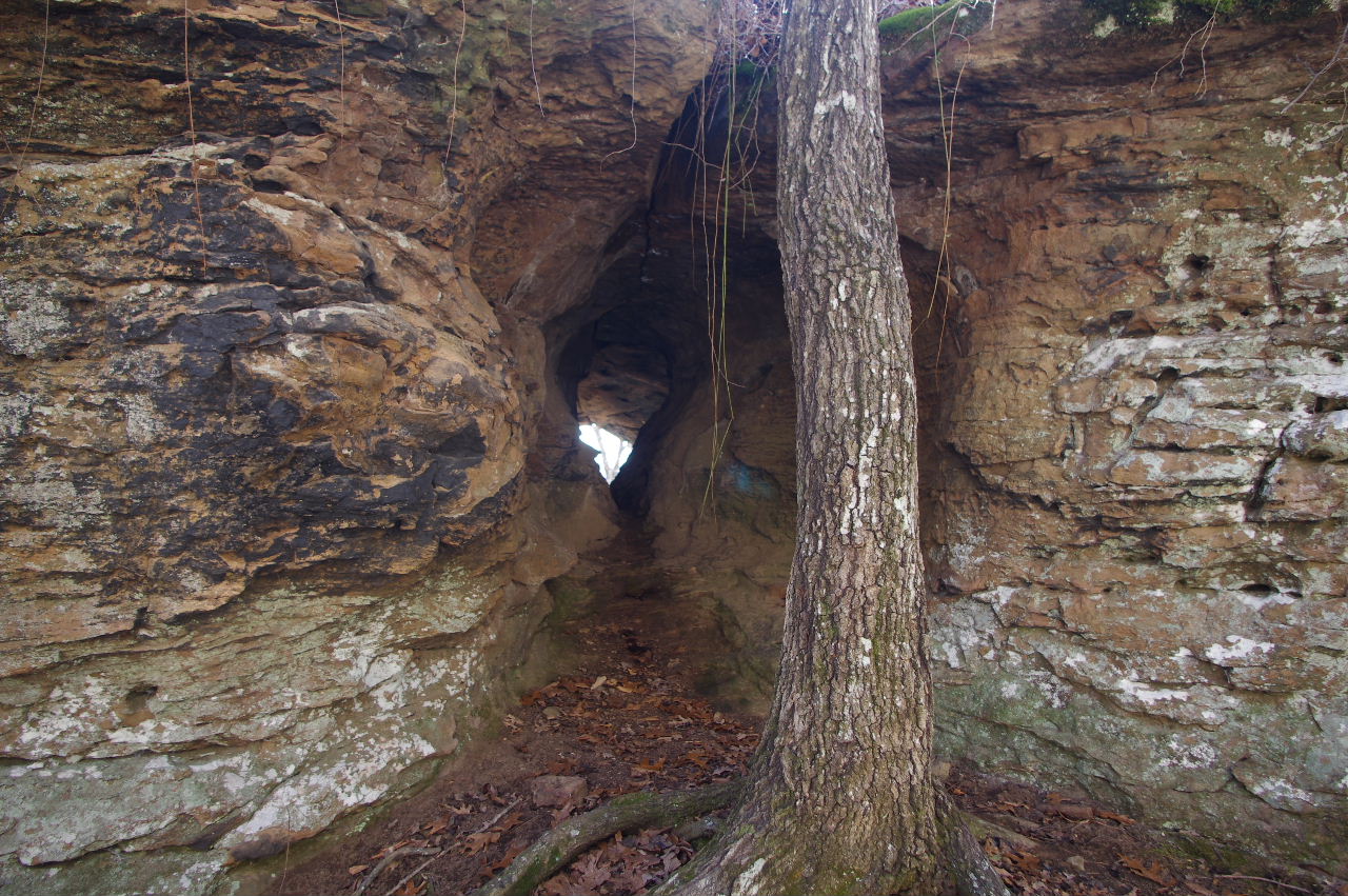
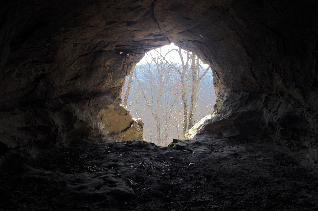
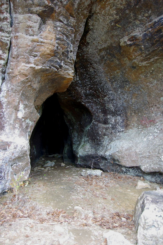
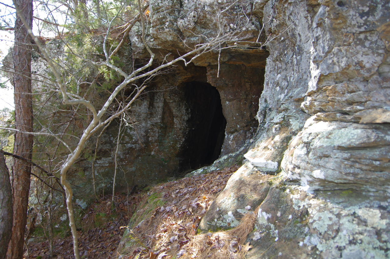
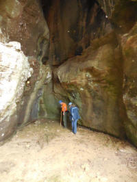
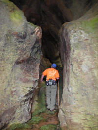
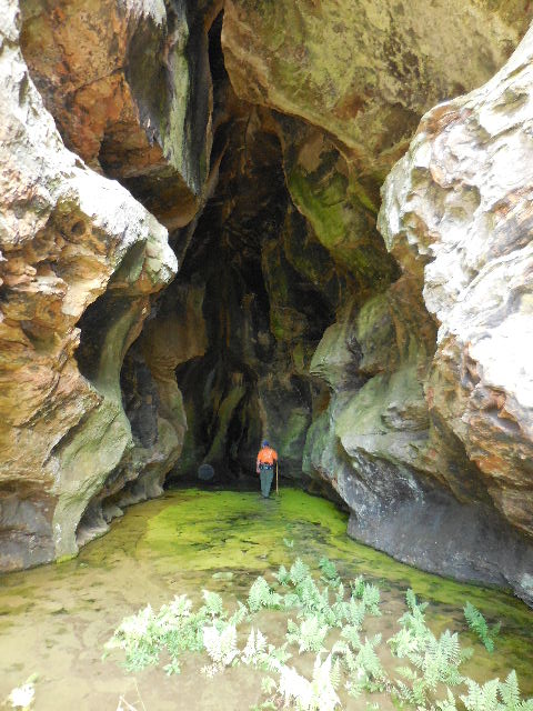
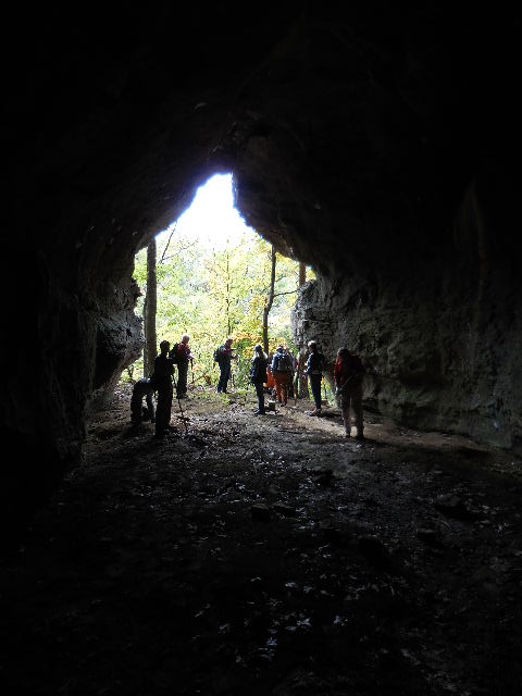
 Entrance to TAKAHIK Cave |
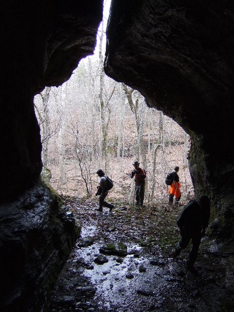 TAKAHIK Cave 35.71680°, 93.02312° |
 Inside TAKAHIK Cave |
|||||||
Rock Patios South of King's
Bluff Area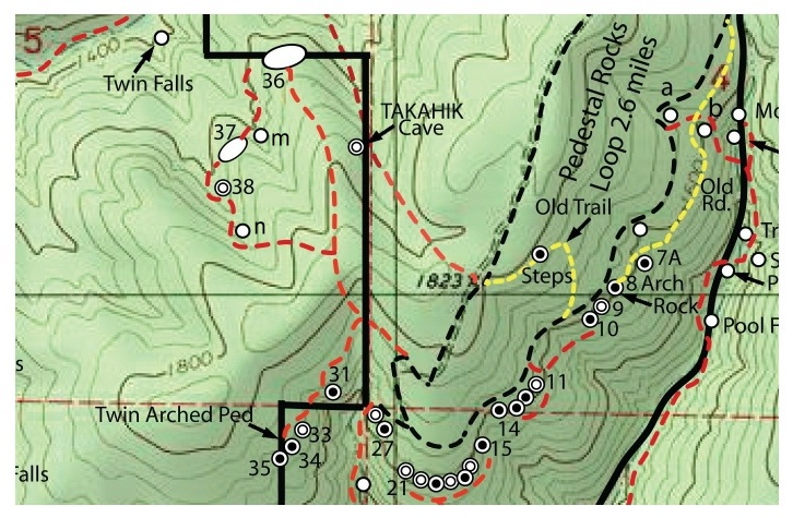 |
|||||||||
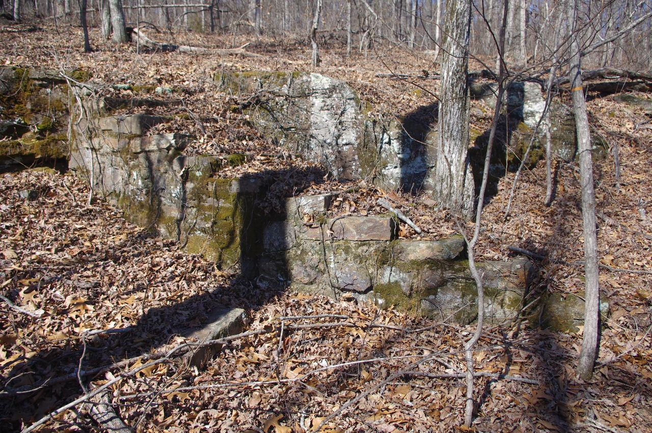
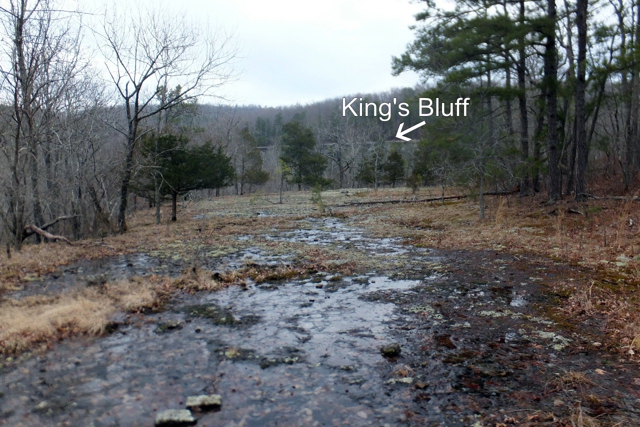 Rock Patio #36 (With King's Bluff in background) Looking North |
 Rock Patio #36 35.71897°, 93.02588° |
 Rock Patio #36 Looking South |
|||||||
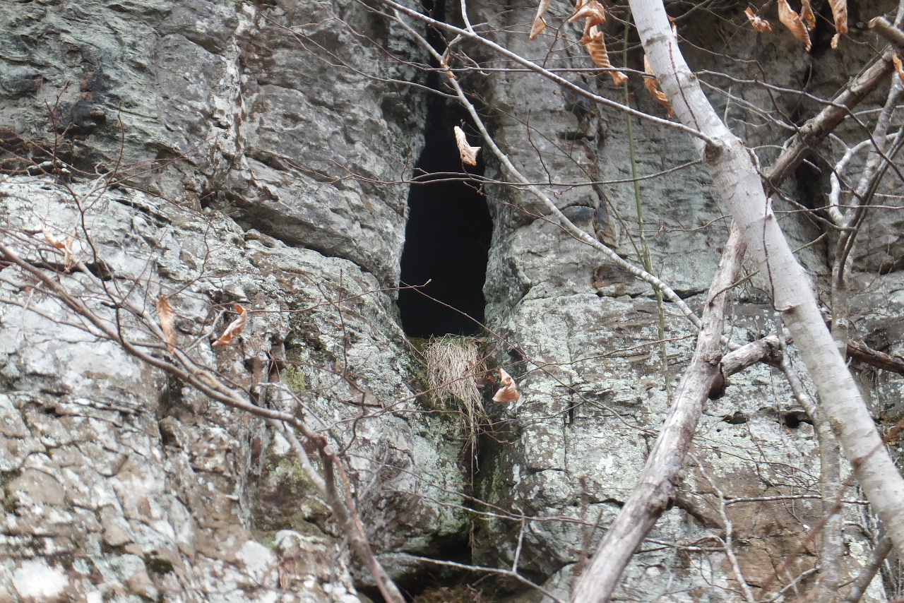 Squirrel Den in bluff line...... (Just as I was about to look in the hole.... a squirrel came running out!) 35.71815°, 93.02587° |
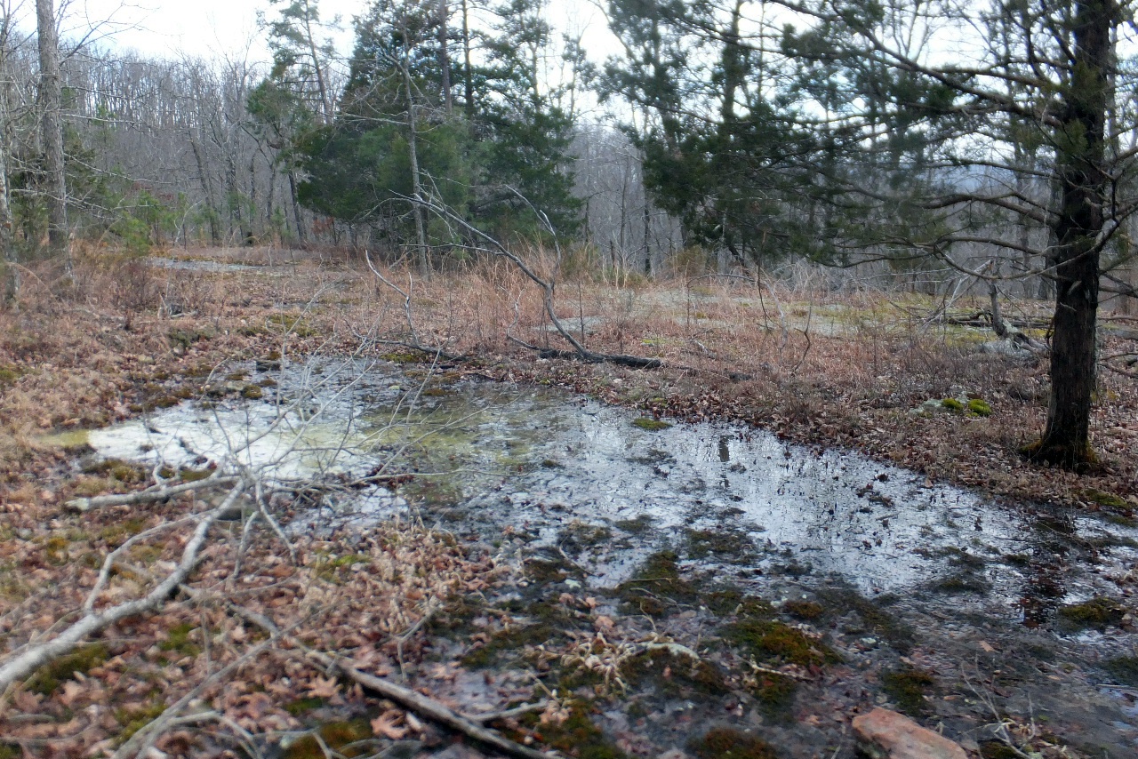
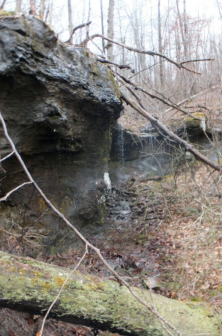
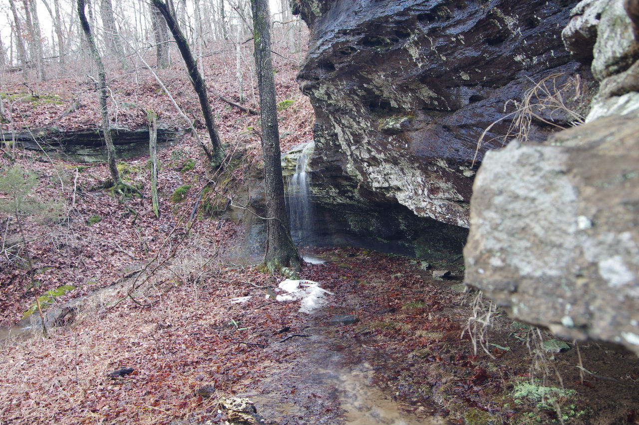
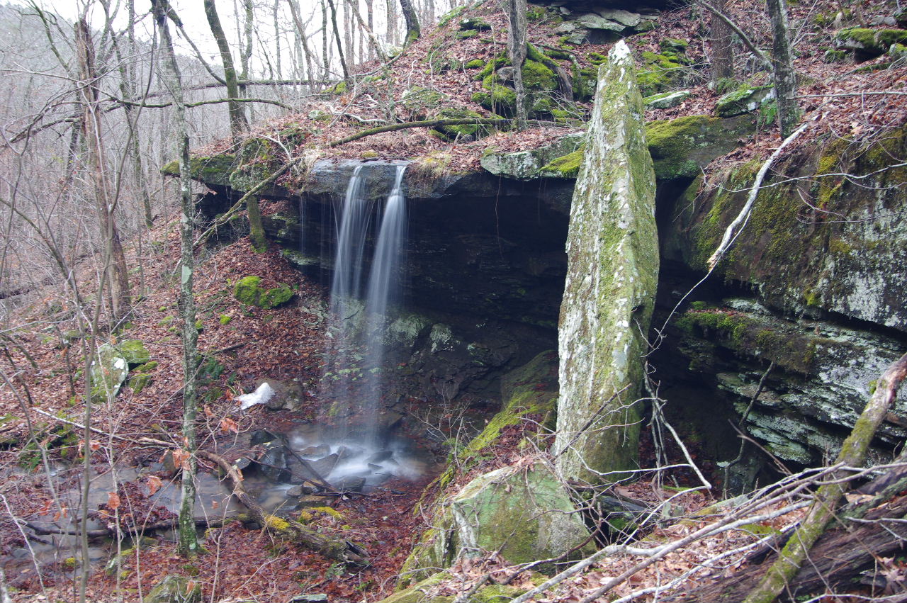
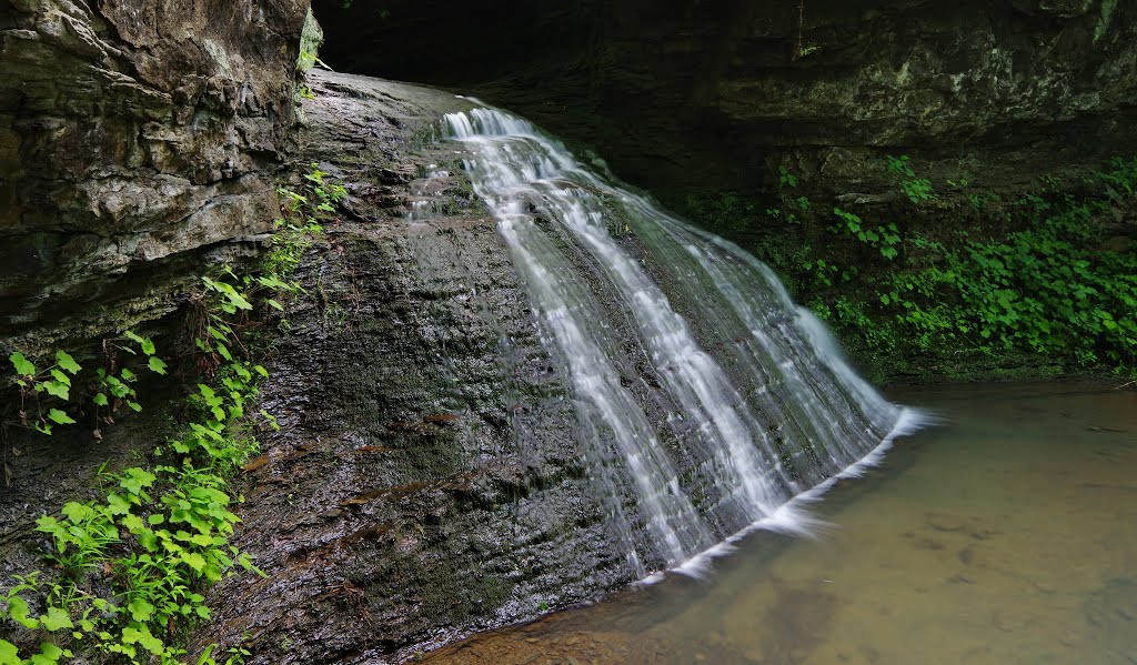
 Un-named Waterfall "m" 35.71742°, 93.02587° |
 Un-named Waterfall "m" (Not much water today) |
|||||||
 Rock Patio #37 35.71695°, 93.02647° |
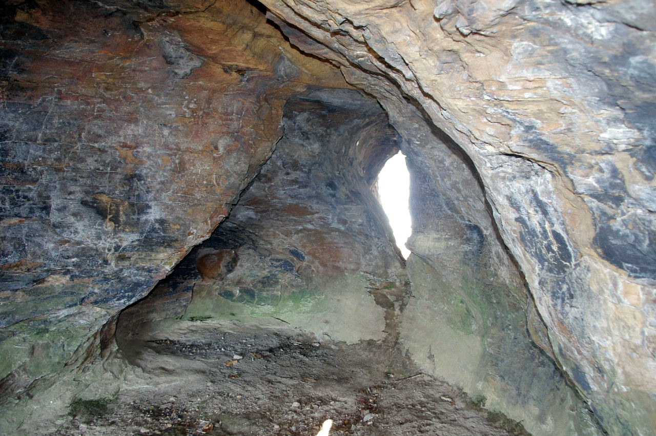
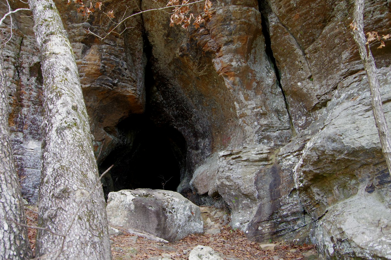
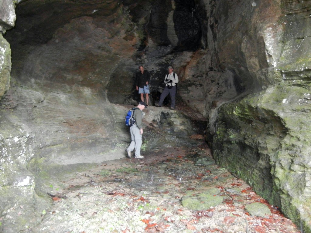
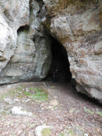
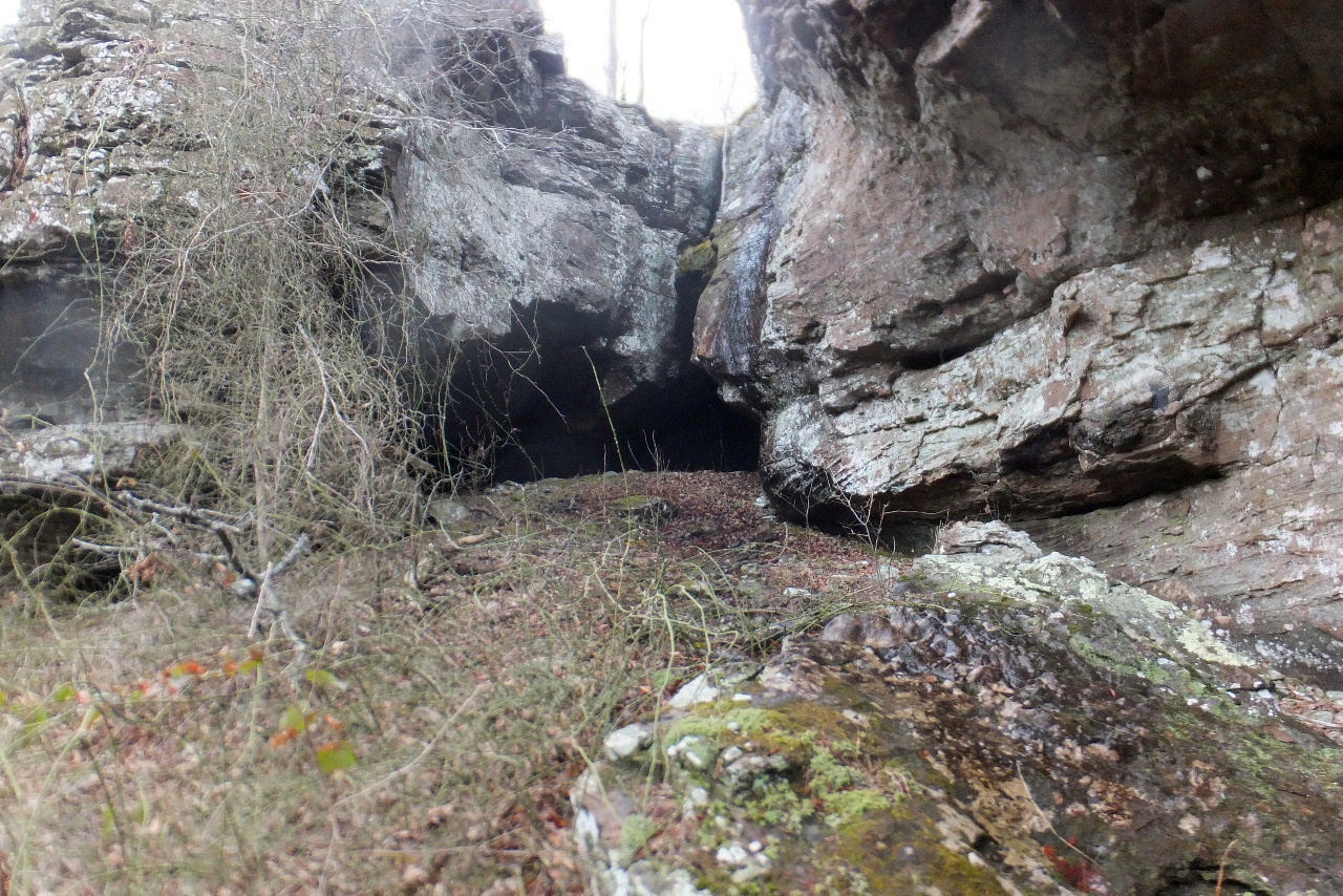 Entrance to Cave #38 35.71610°, 93.02668° |
 Back end of Cave #38 |
|||||||
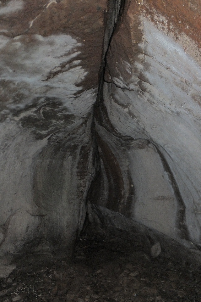
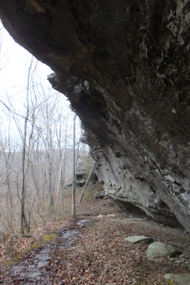
 Inside Cave #38 looking out |
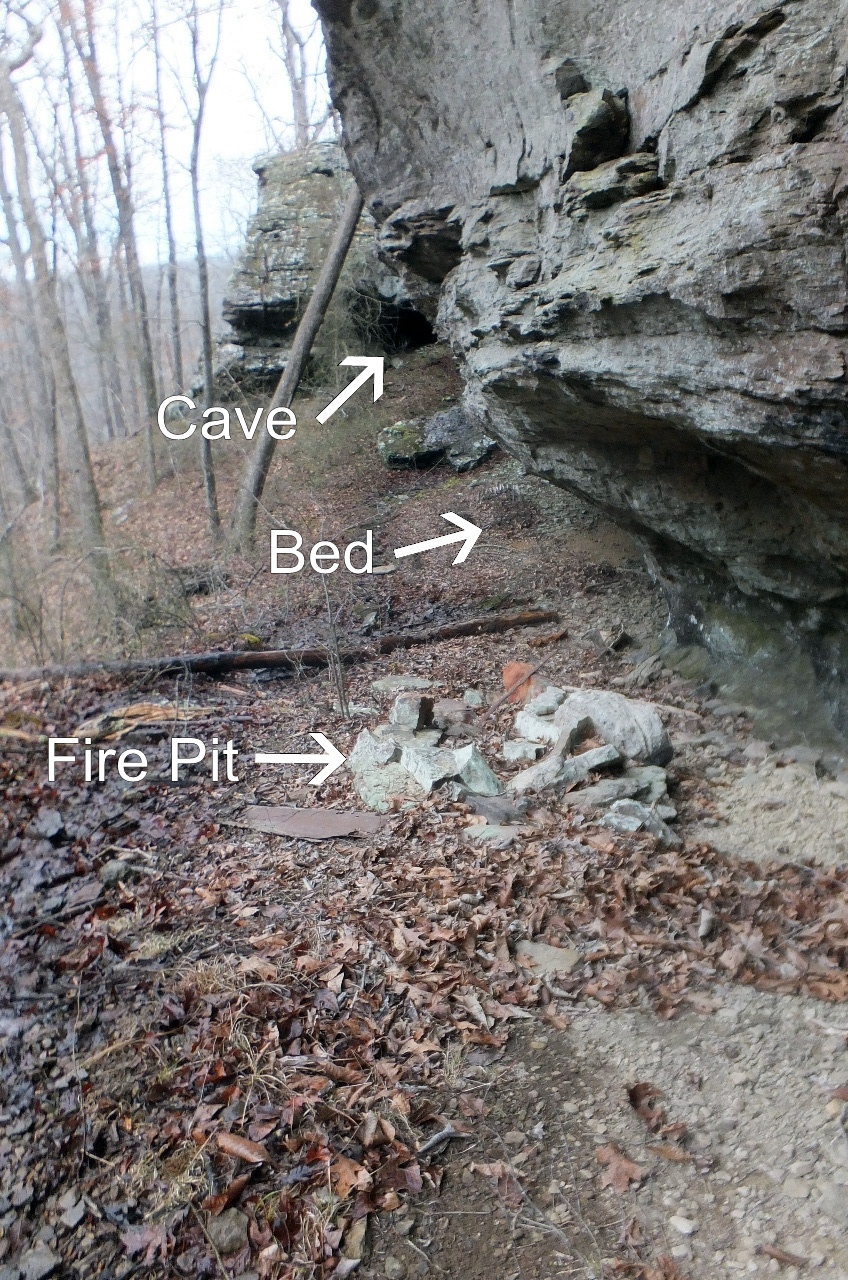
 From Cave #38 looking down bluff line (Found evidence that someone has stayed here) This is in a very remote area as shown on above map. |
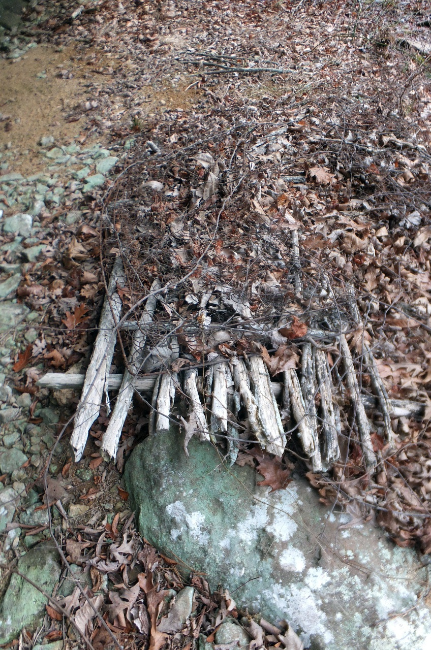 Someone has tied several small trees together for a bed? There is a wire box springs on top of tree bedding. |
|||||||
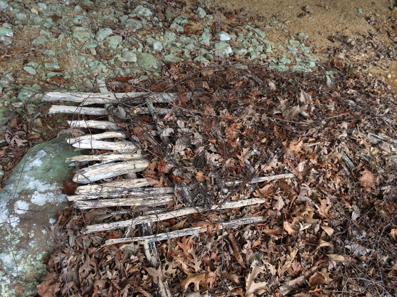 Bed? |
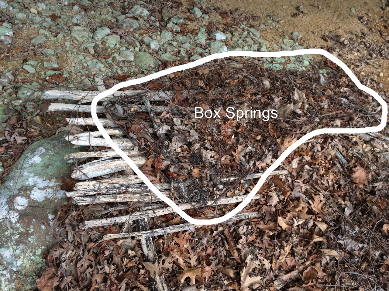 This is outline of box springs. |
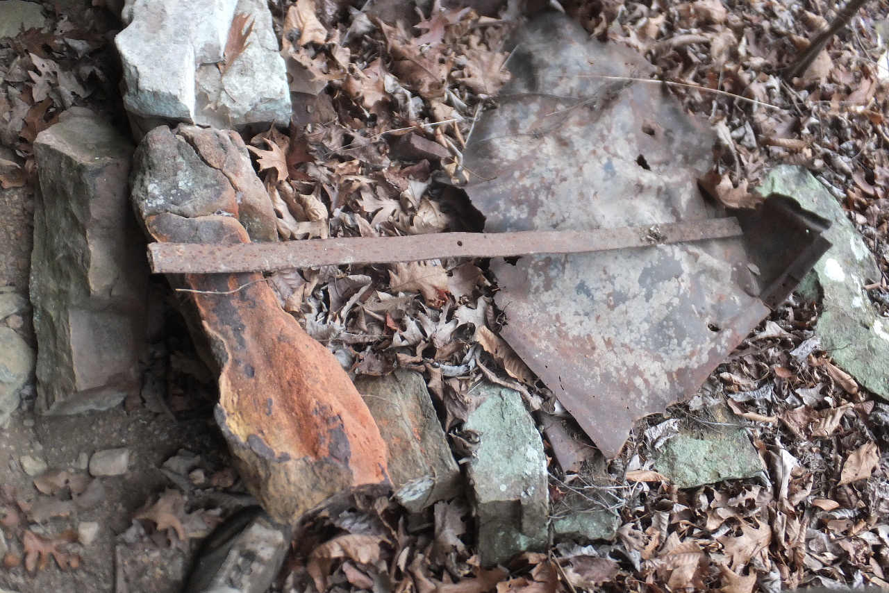 Old fire pit with metal items? |
|||||||
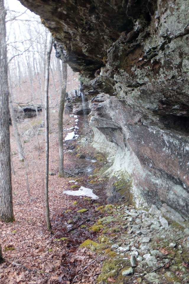
 Looking back up bluff line |
 South end of bluff line |
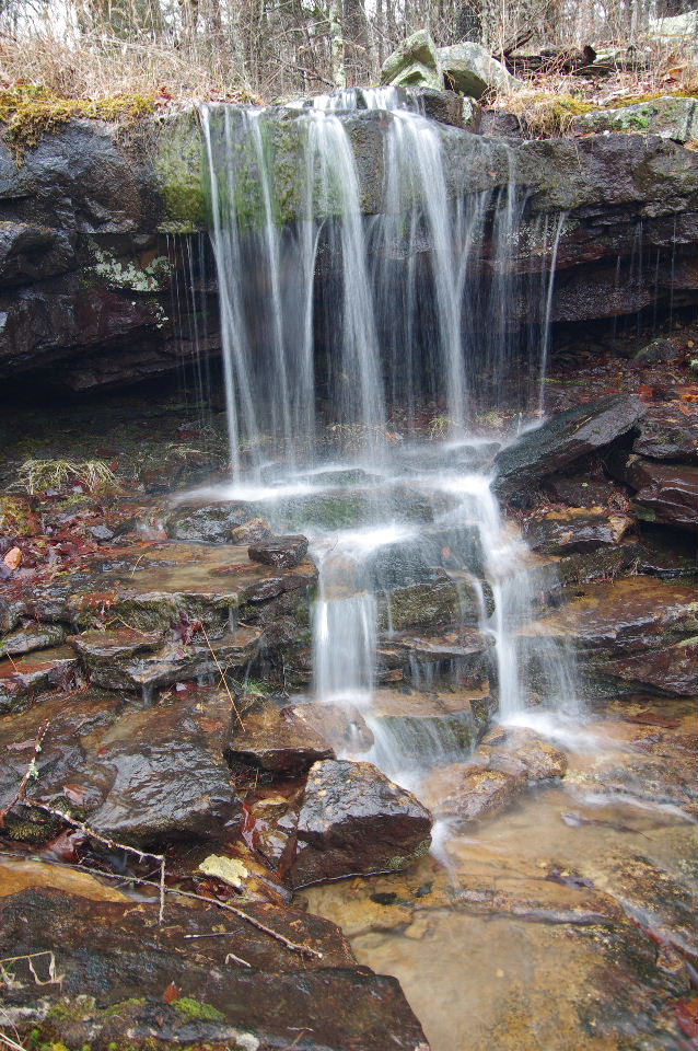
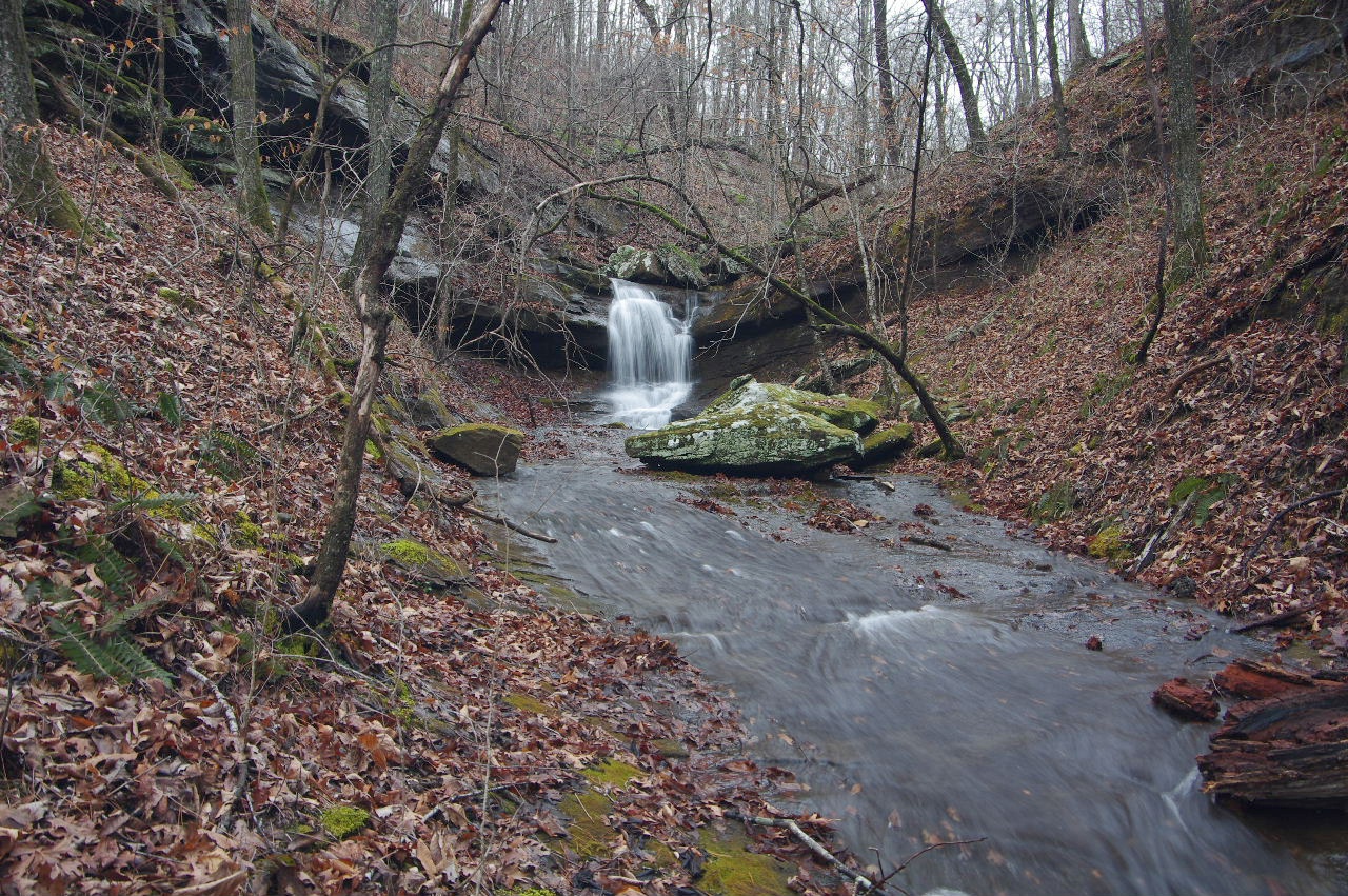
 Un-named Waterfall "n" 35.71527°, 93.02638° |
|||||||
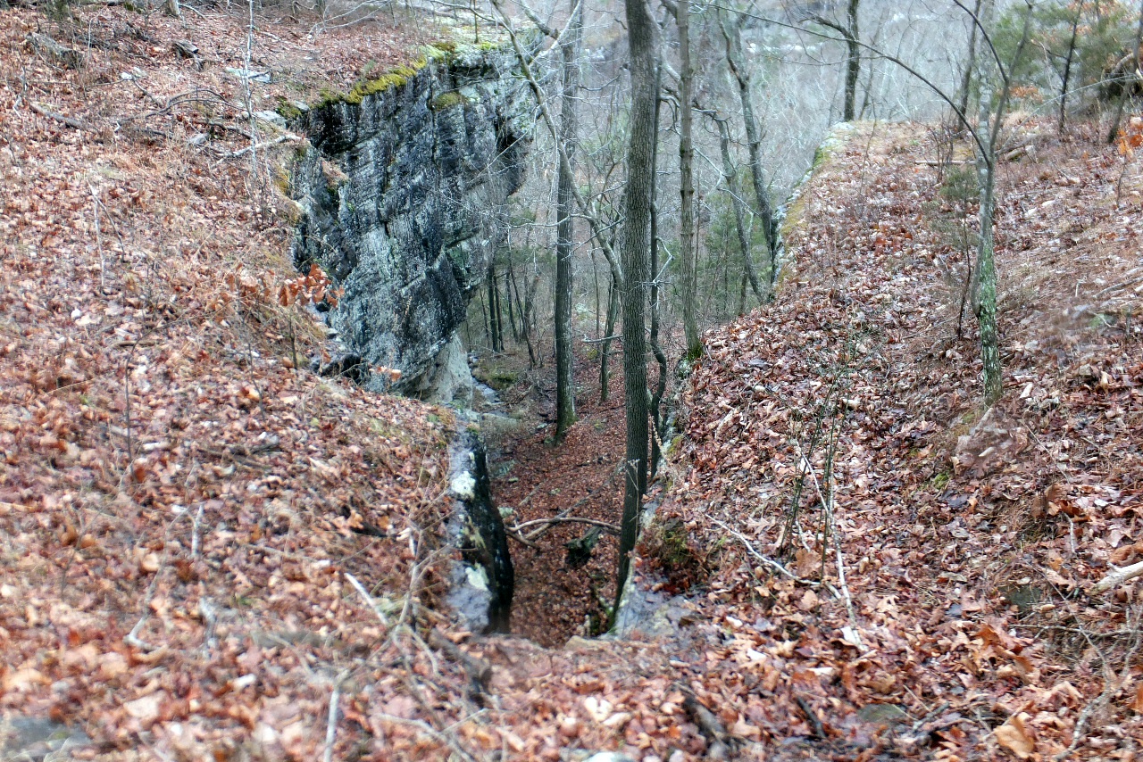
Old Abandoned Trail |
|||||||||
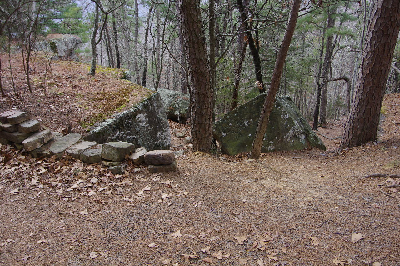
 Rock Bridge on old abandoned trail 35°42.842', 93°01.180' 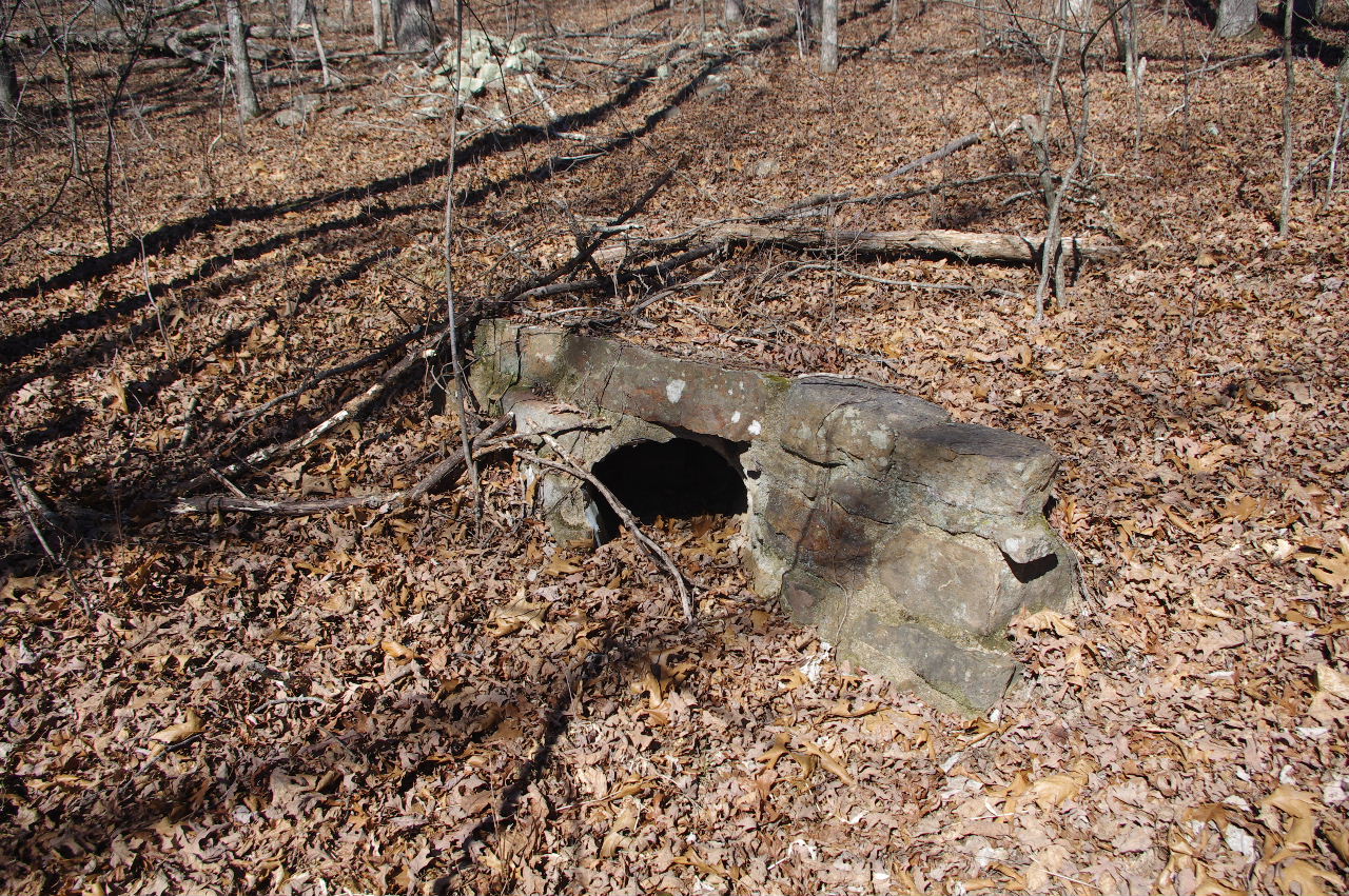 |
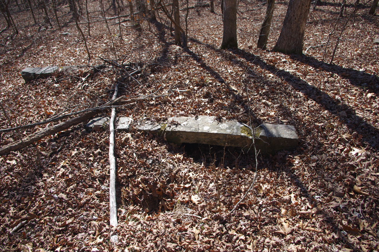
 Rock Steps on old abandoned trail 35°42.854', 93°01.095' |
 14 Rock Steps 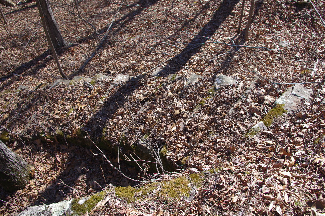 |
|||||||
|
||||||||||||||||||
|
||||||||||||||||||
|
||||||||||||||||||

.JPG)
.JPG)
.JPG)