.jpg)
| TAKAHIK River Valley Hikers |
| Home Scheduled Hikes Pictures Videos Membership Links Trails & Waterfalls Mushrooms Products In Memory Of |
| PENHOOK HOLLOW SPECIAL INTEREST AREA |
|
 Turn left just before crossing the bridge 0.25 miles north of north entrance to Bayou Bluff. |
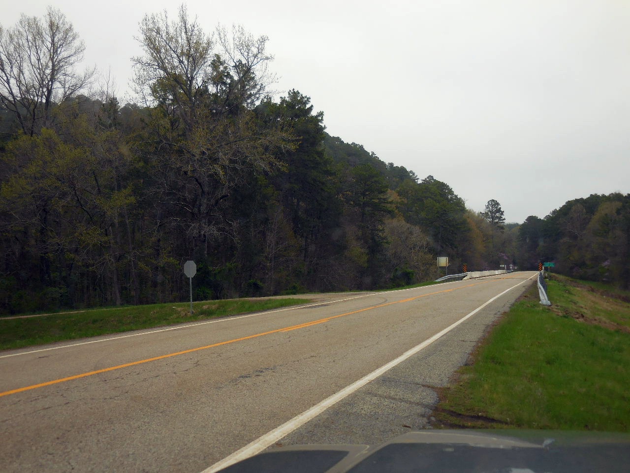
.JPG) Middle Fork Illinois Bayou Bridge on Hwy. 27 |
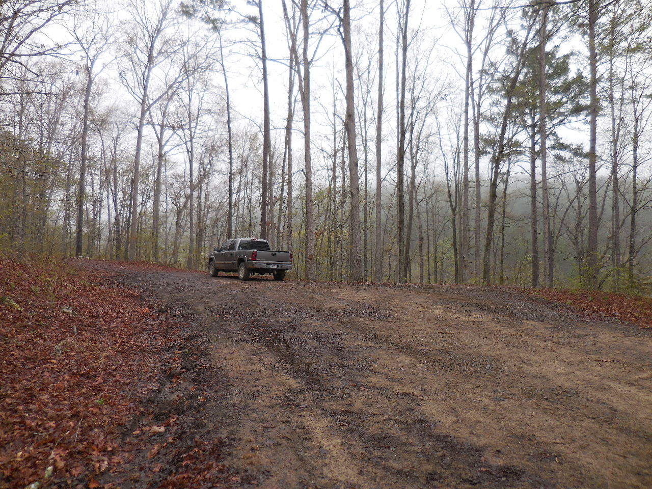
 Forest Road 1376 (aka Middle Fork Road) |
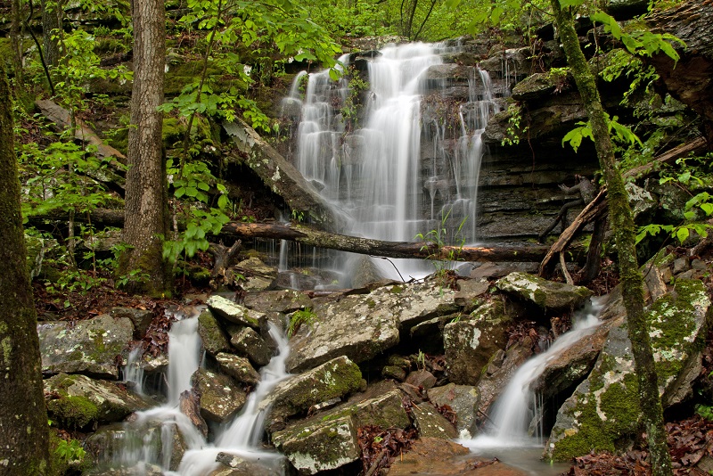 WF #1Snow Creek Road Falls 35.54051°, 92.95216° (Pic by Jeremy Walter) |
||
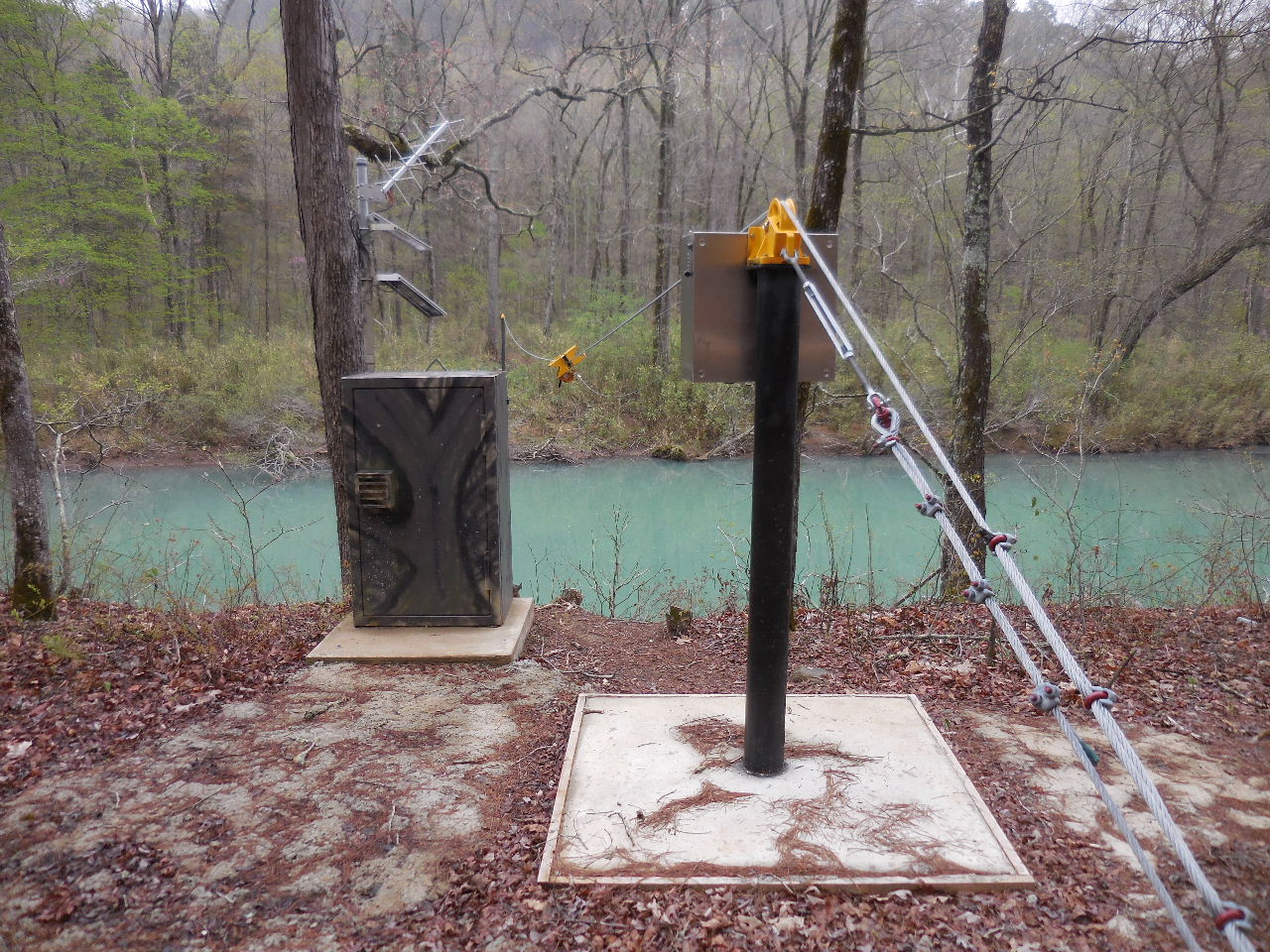 07257460 USGS Gauging Station on Middle Fork 35.54293°, 92.94956° |
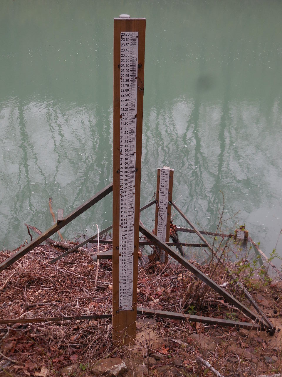 River Height Gage |
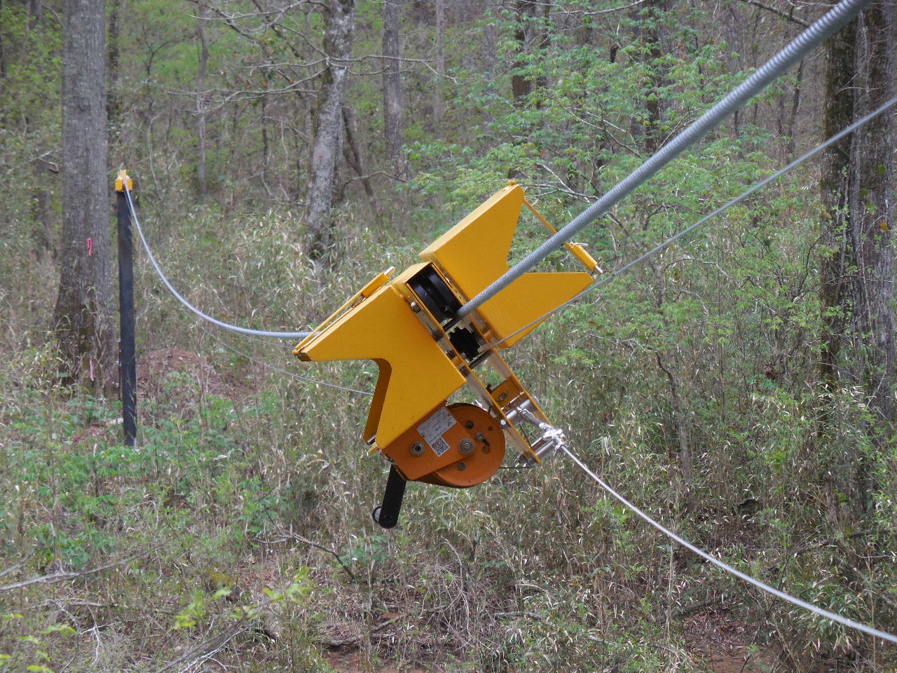 Discharge Cable across Middle Fork (Gauge is attached to this for measurement) |
 WF #2 Deception Falls 35.54489°, 92.95060° (Pic by Jeremy Walter) |
||
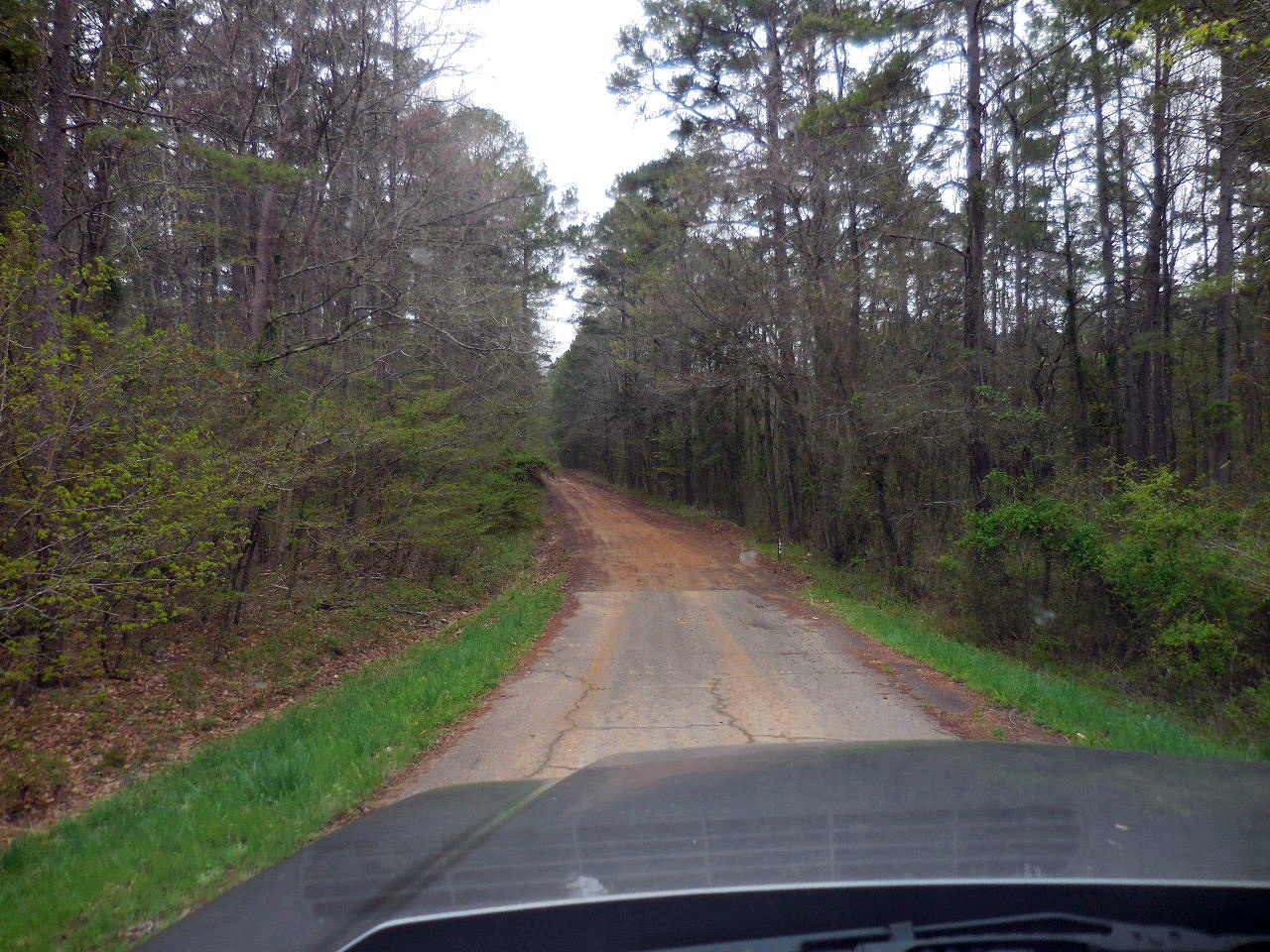
.JPG) Snow Creek Crossing (During high water there is a parking area just before the crossing on the right. It is 0.5 miles on to Penhook Hollow Parking Area) |
 Parking Area #3 for Penhook Hollow 35.56015°, 92.94792° (At end of FR 1376) |
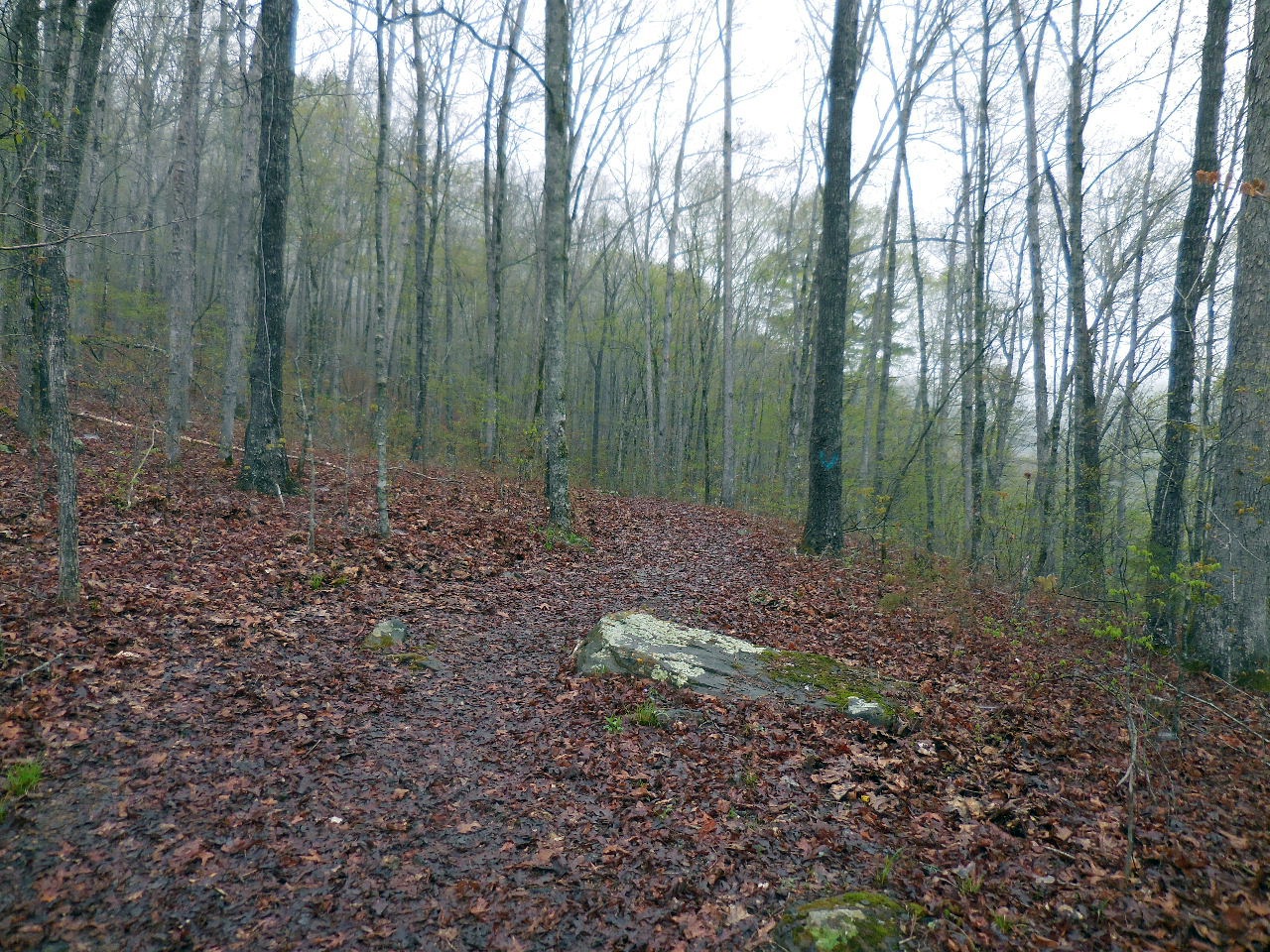 ATV Trail heads north from Parking Area |
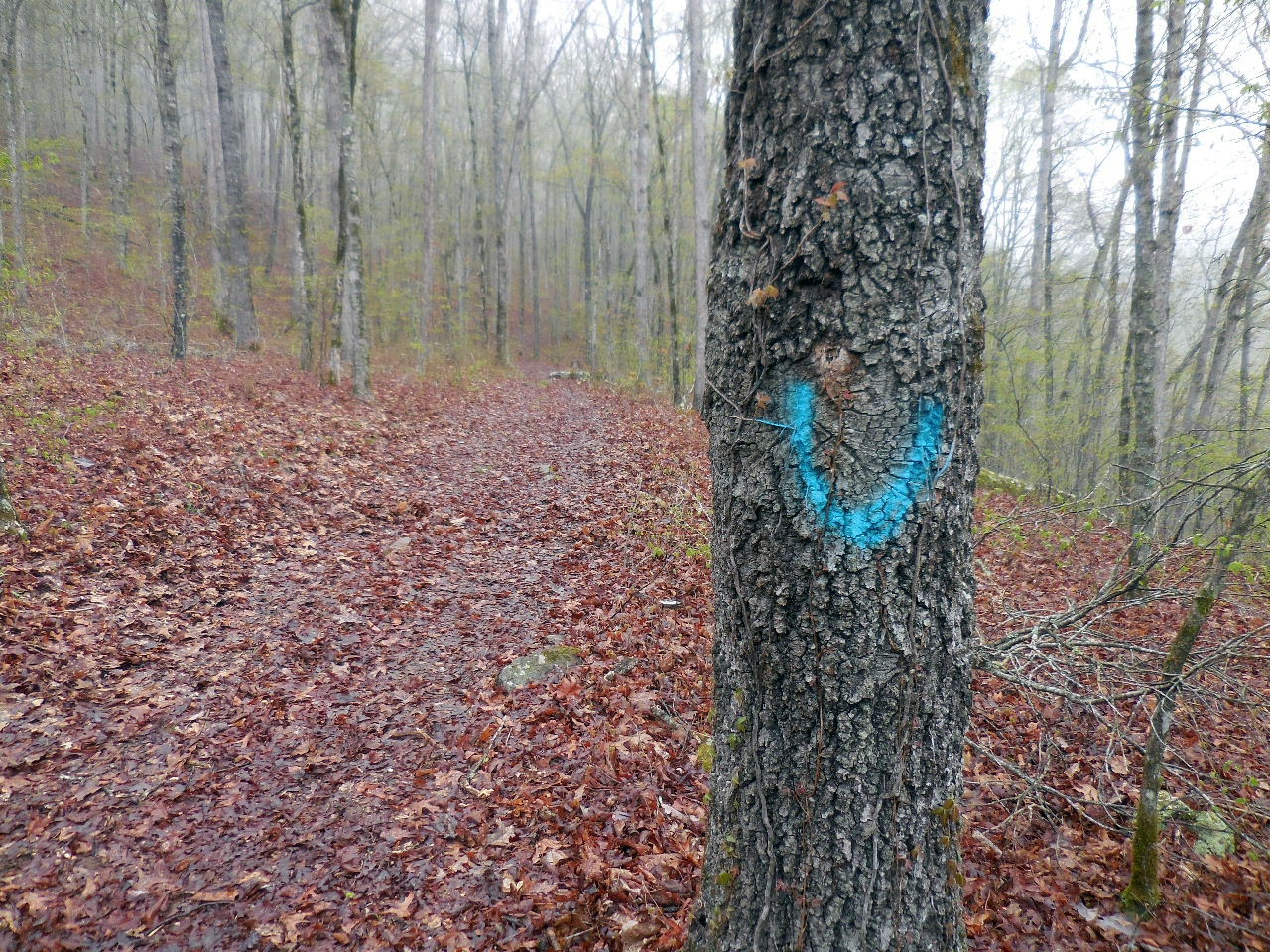 Blue "U" on tree next to ATV Trail |
 ATV Trail |
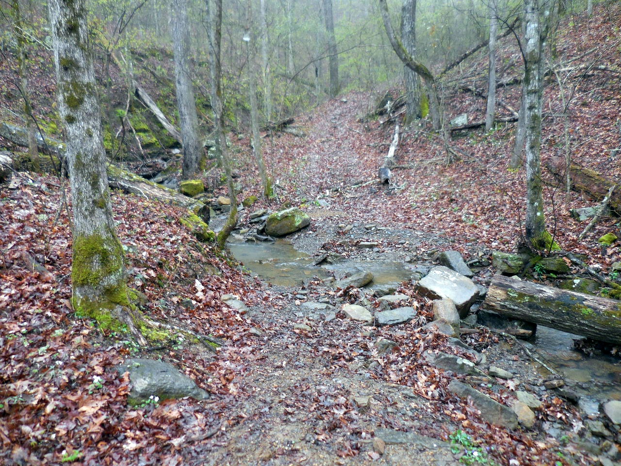 Drainage leading to Hitchhiker Falls Access Point "B" 35.56607°, 92.95382° (It is best to cross this drainage and hike around the corner and hike up the north side) |
 WF #3 35.56366°, 92.95609° |
 WF #4 Hitchhiker Falls 35.56721°, 92.95693° |
|
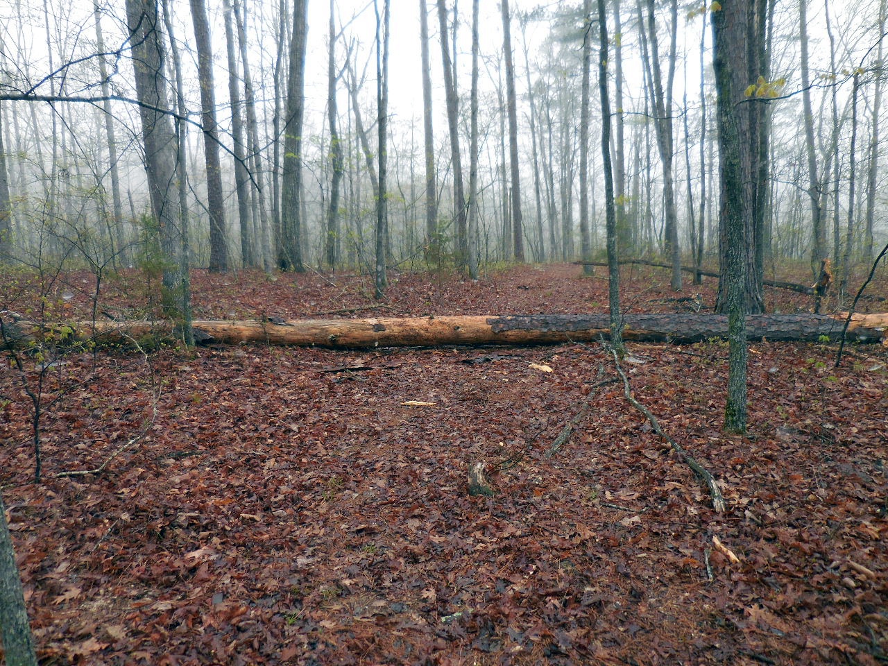
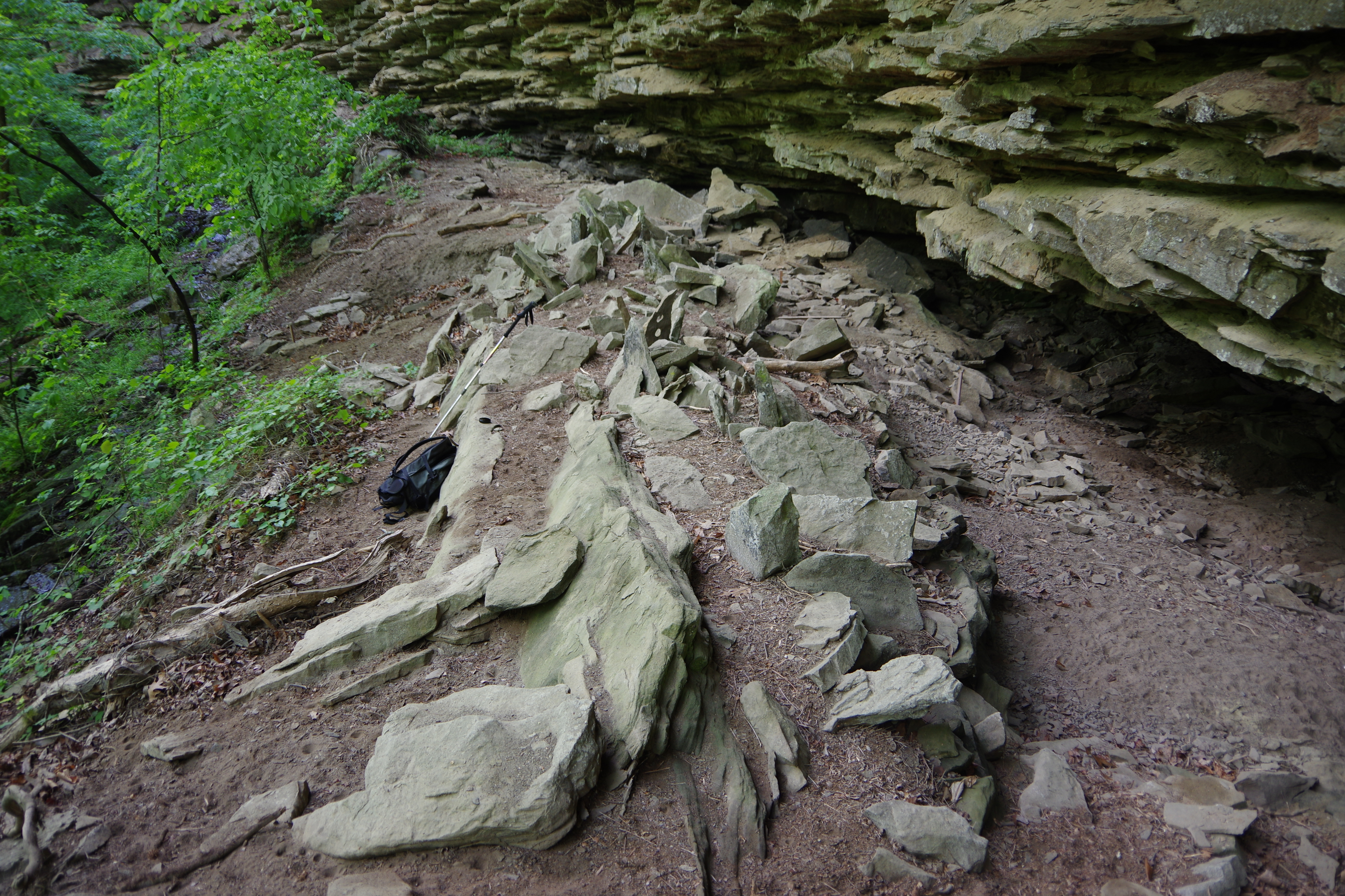
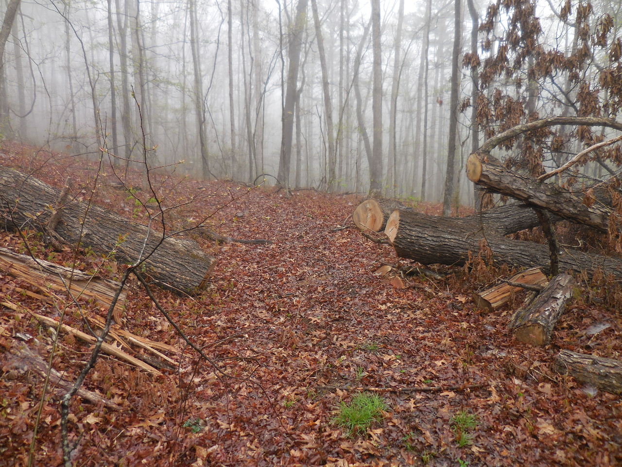 Cut Trees along ATV Trail 35.56805°, 92.95267° (You can head east from here and come out on top of Penhook Hollow Falls) |
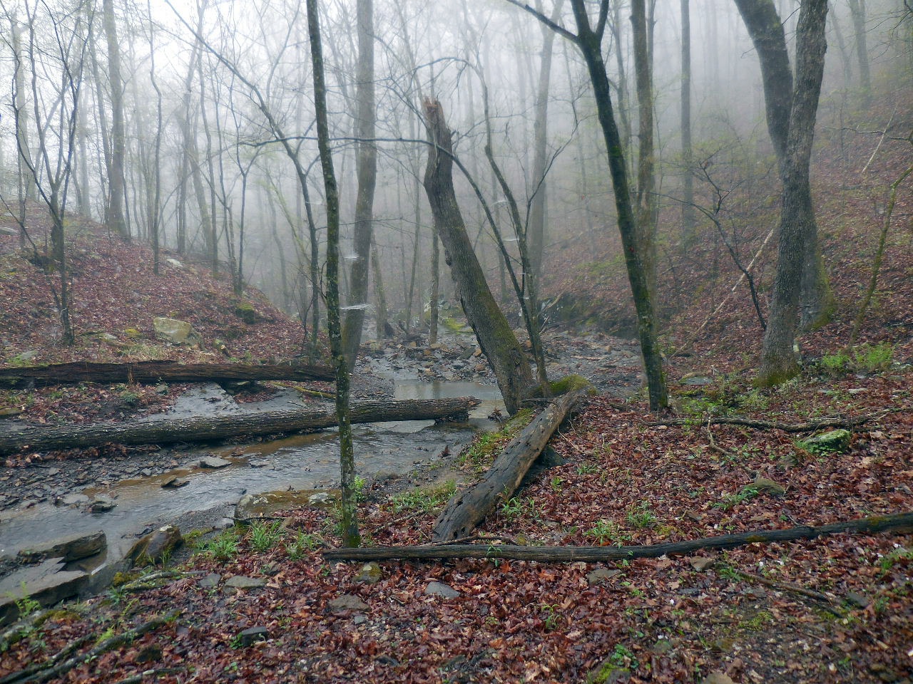 This is drainage, which is the upper Penhook Hollow, that leads to WF's #5-7 Access Point "C" 35.57046°, 92.95220° |
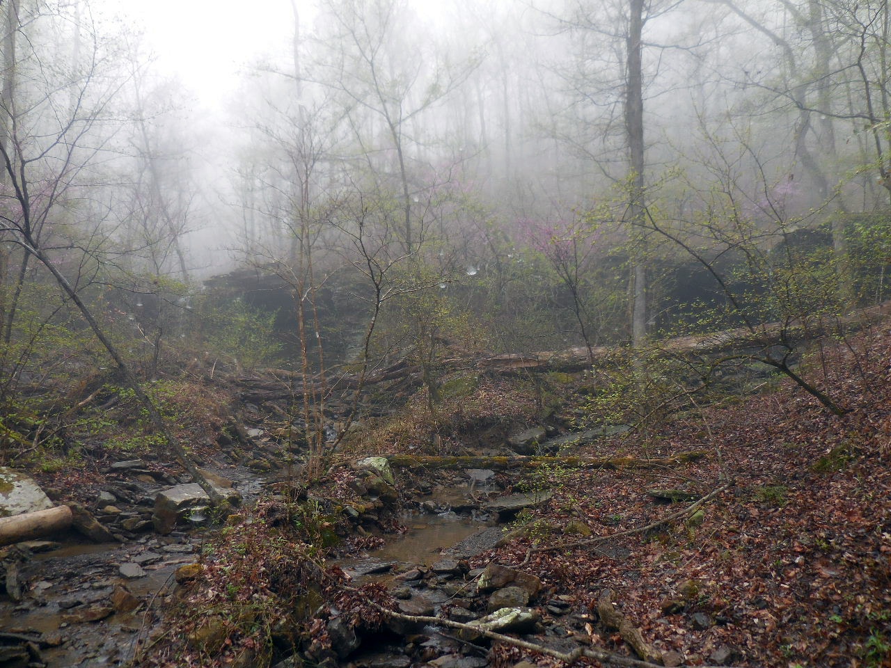 Heading to the WF's #5-7 |
 WF #5 35.57106°, 92.95213° |
 WF #6 35.57108°, 92.95250° |
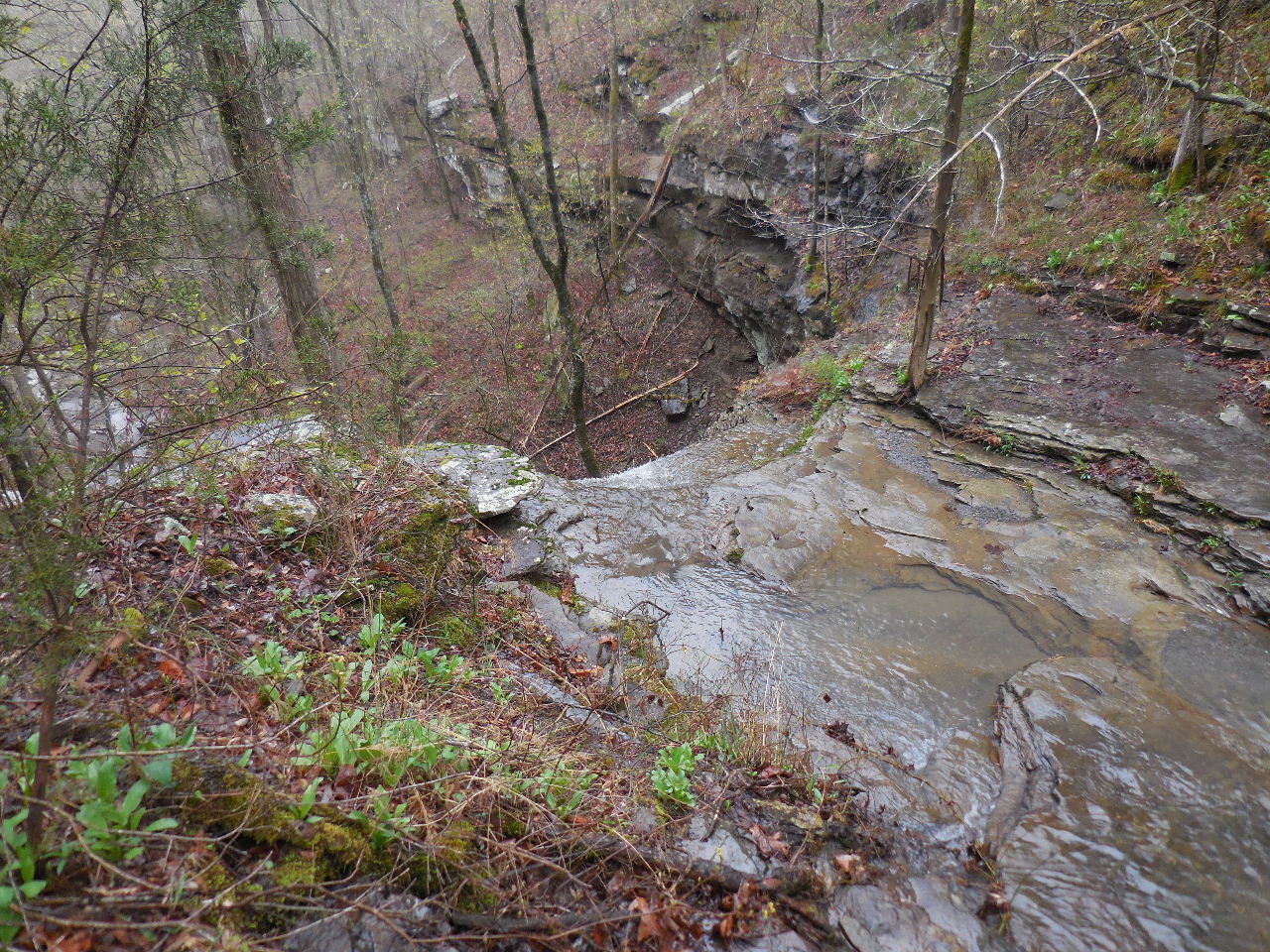
 Heading back down Penhook Hollow to the top of Penhook Hollow Falls. |
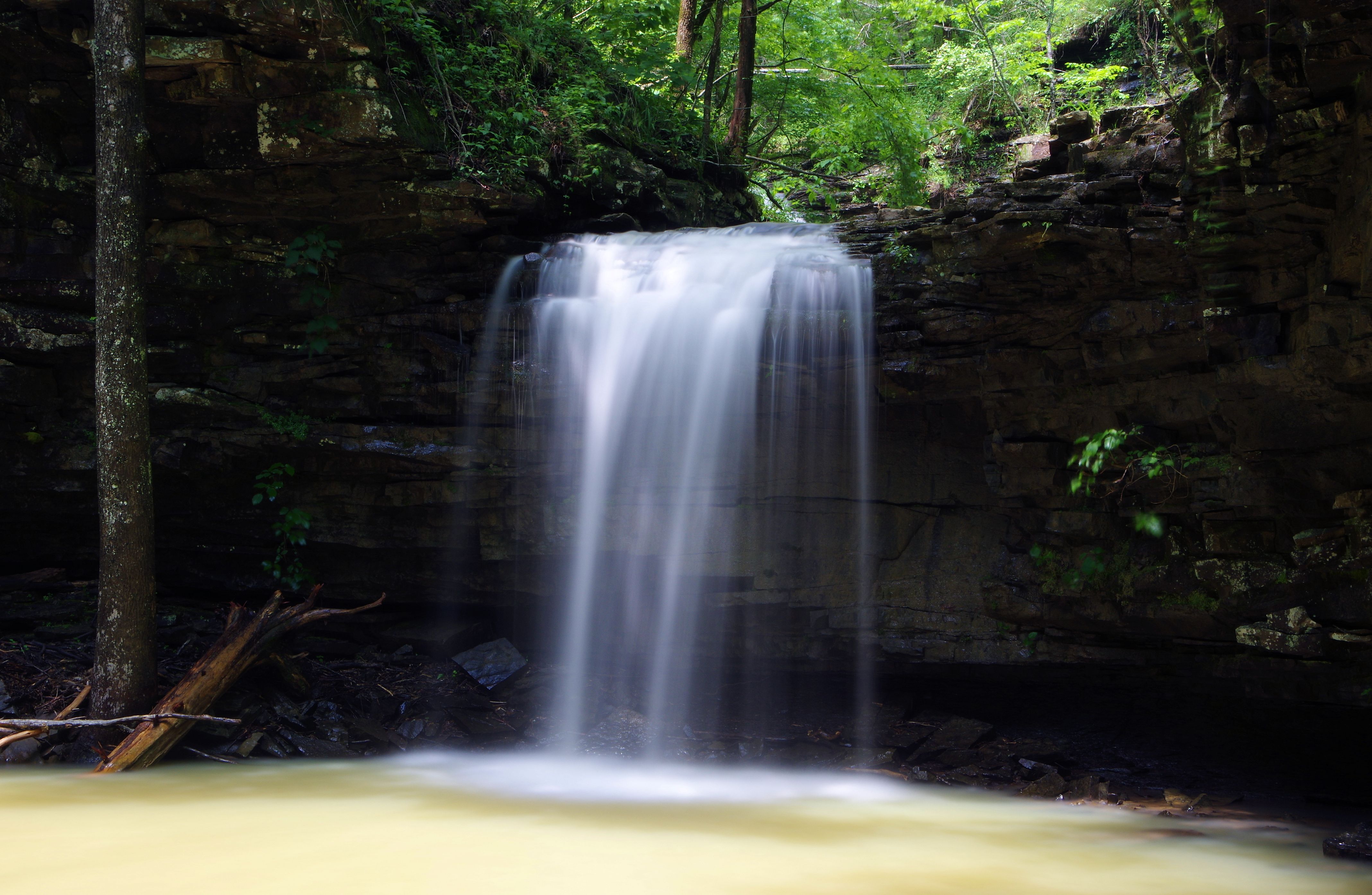
 Top of WF #8 Penhook Falls |
 Looking back up stream from WF #8 Penhook Falls |
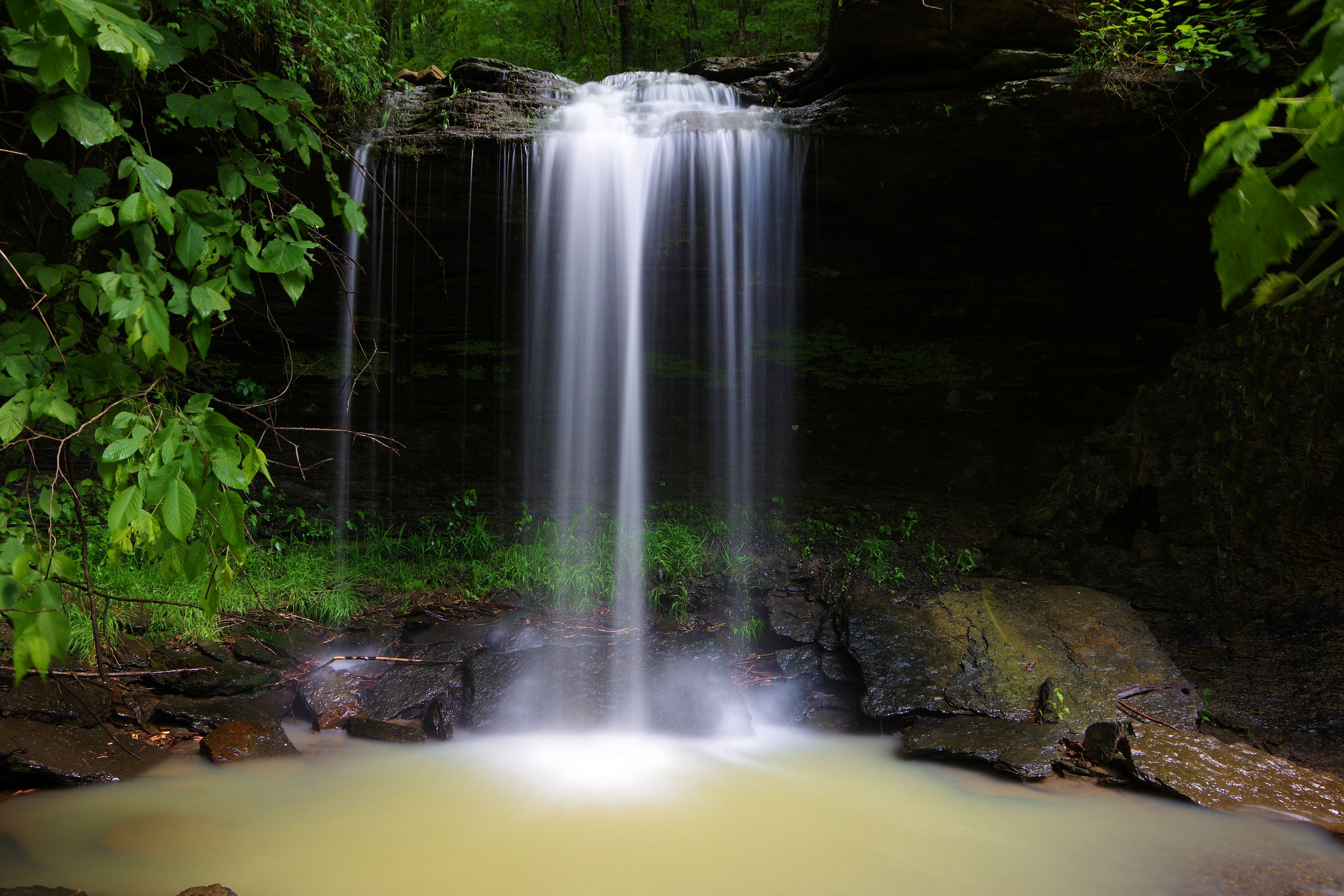
 First view of WF #8 Penhook Falls from below. |
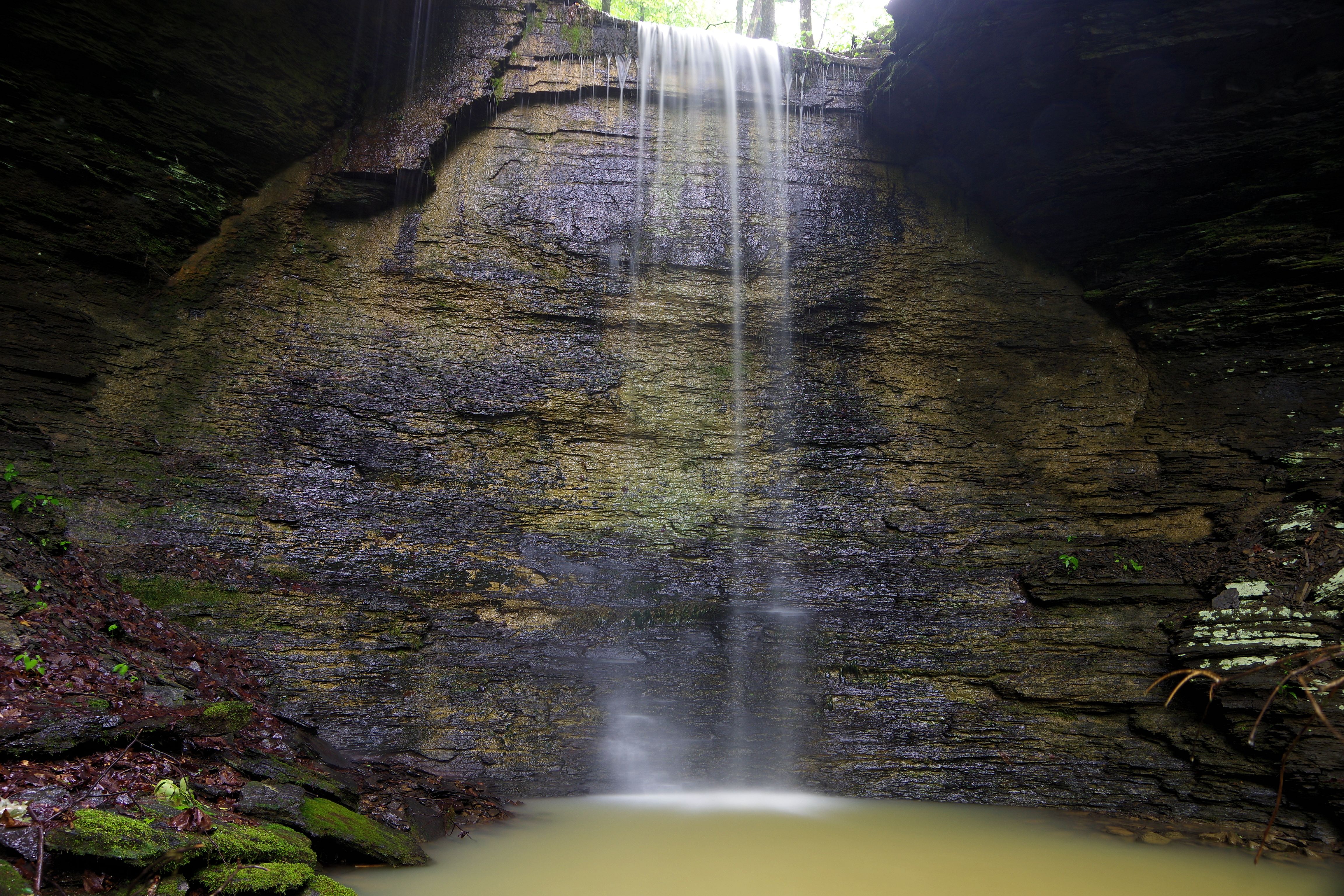
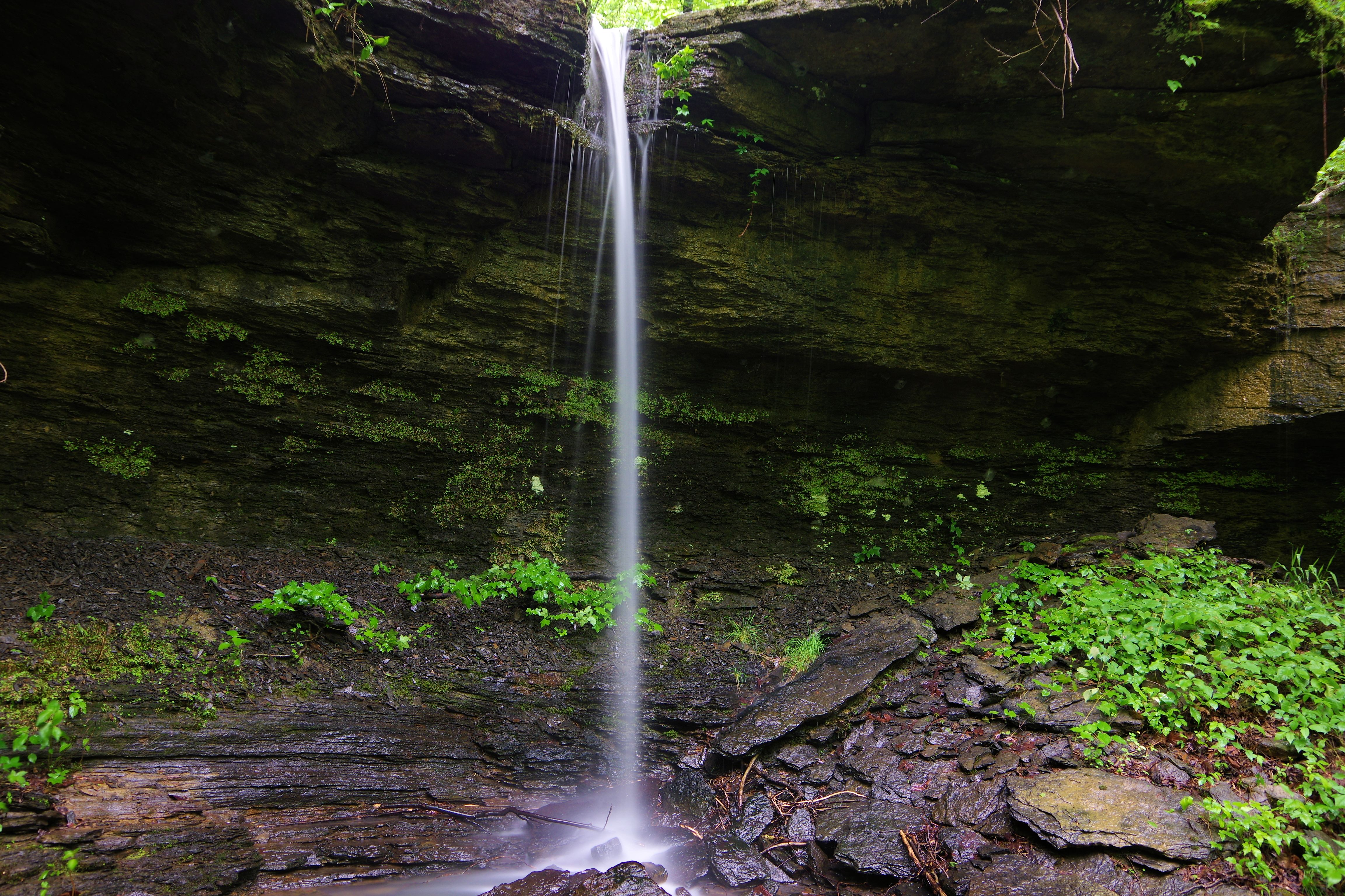
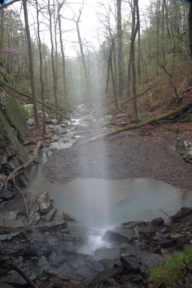 From underneath falls looking down Penhook Hollow |
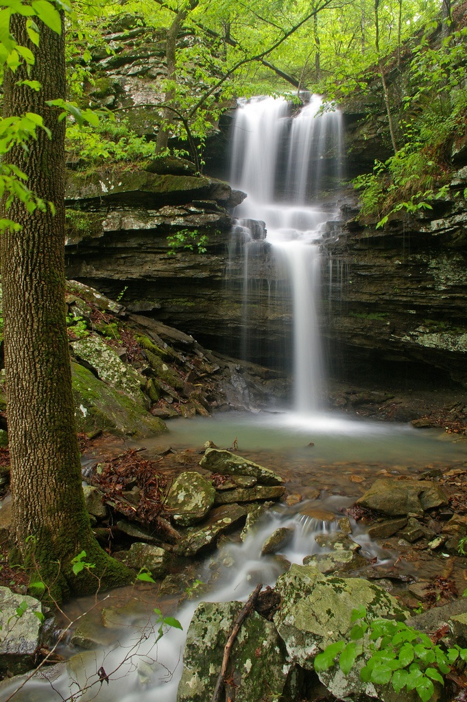
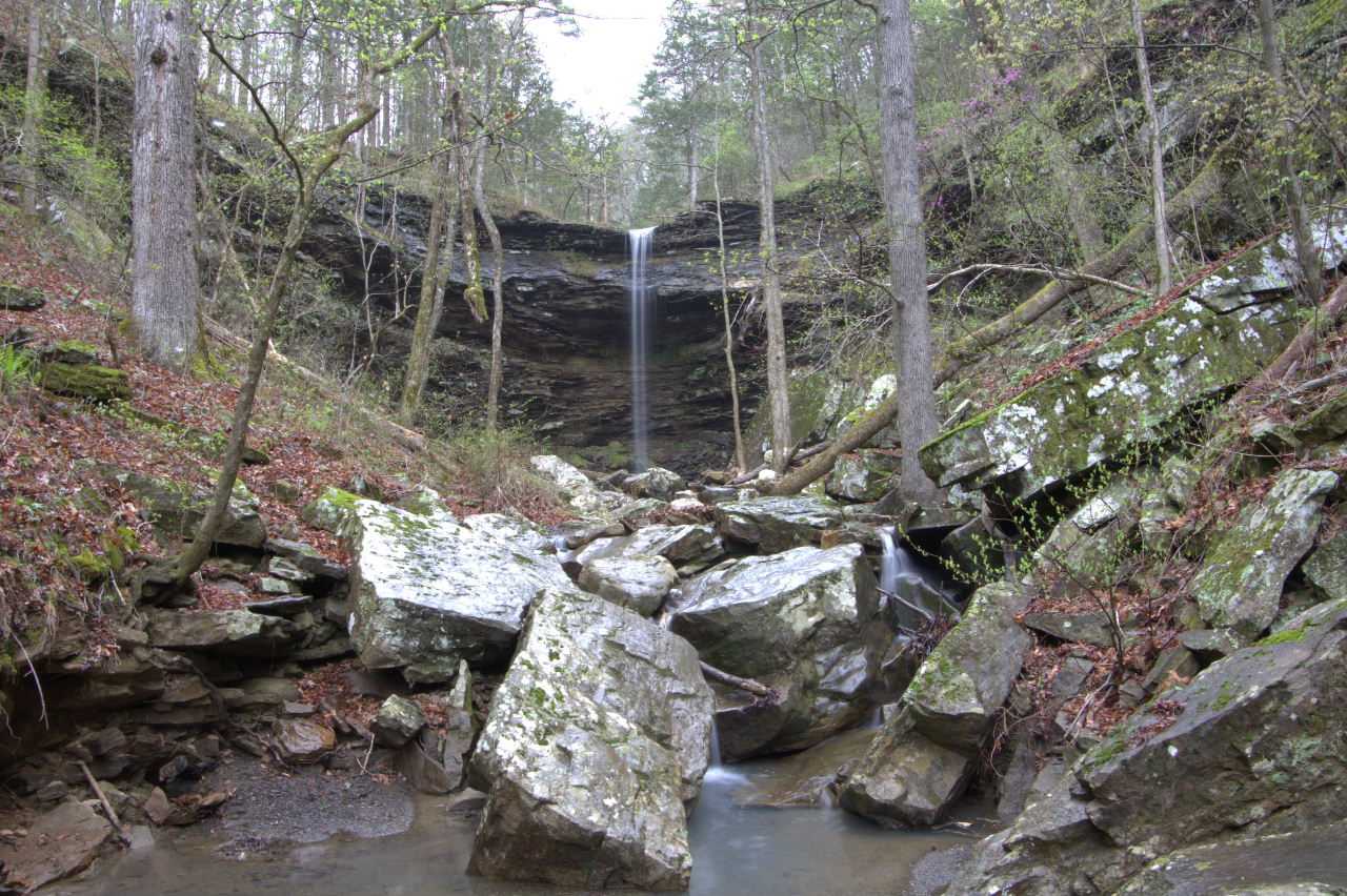
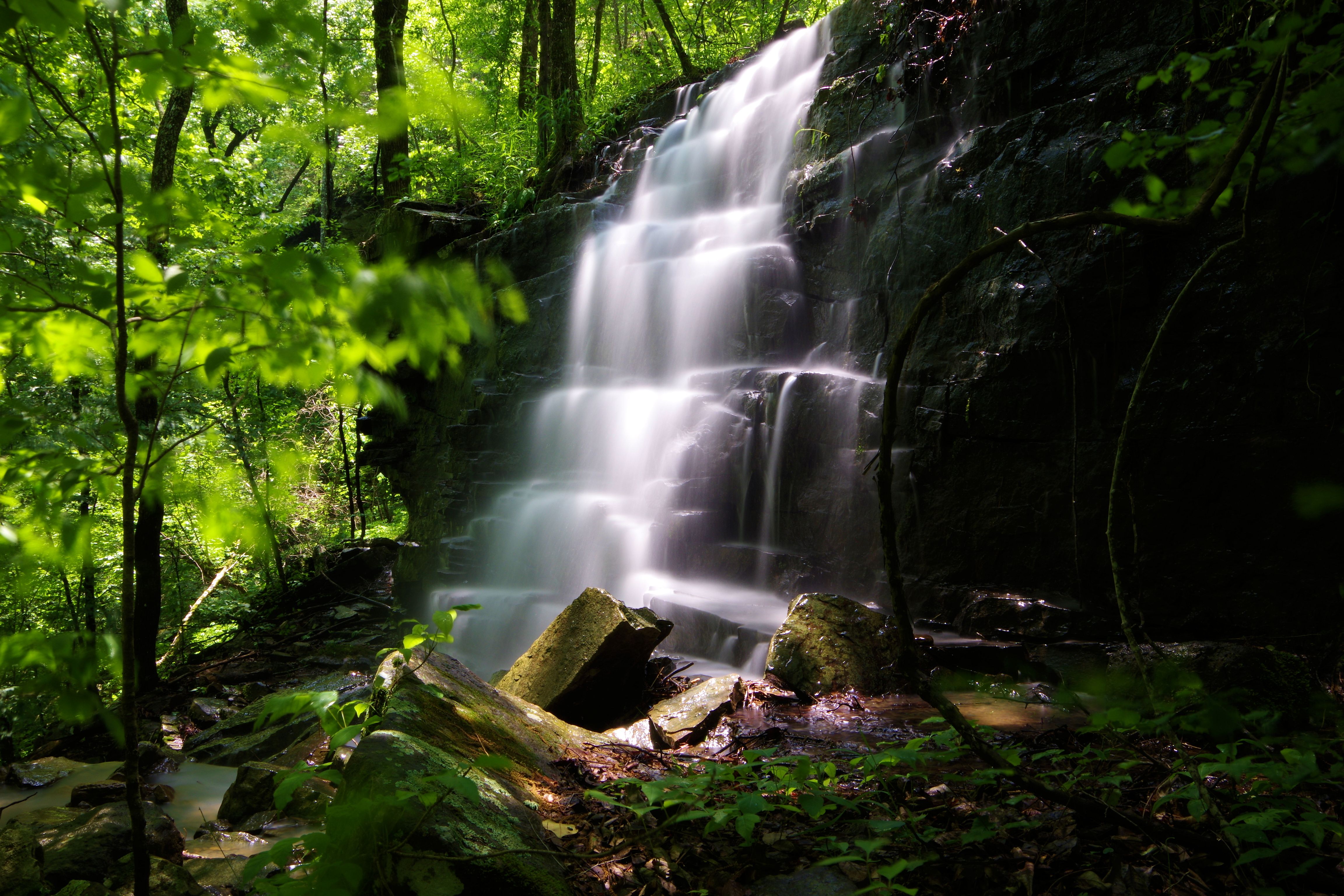
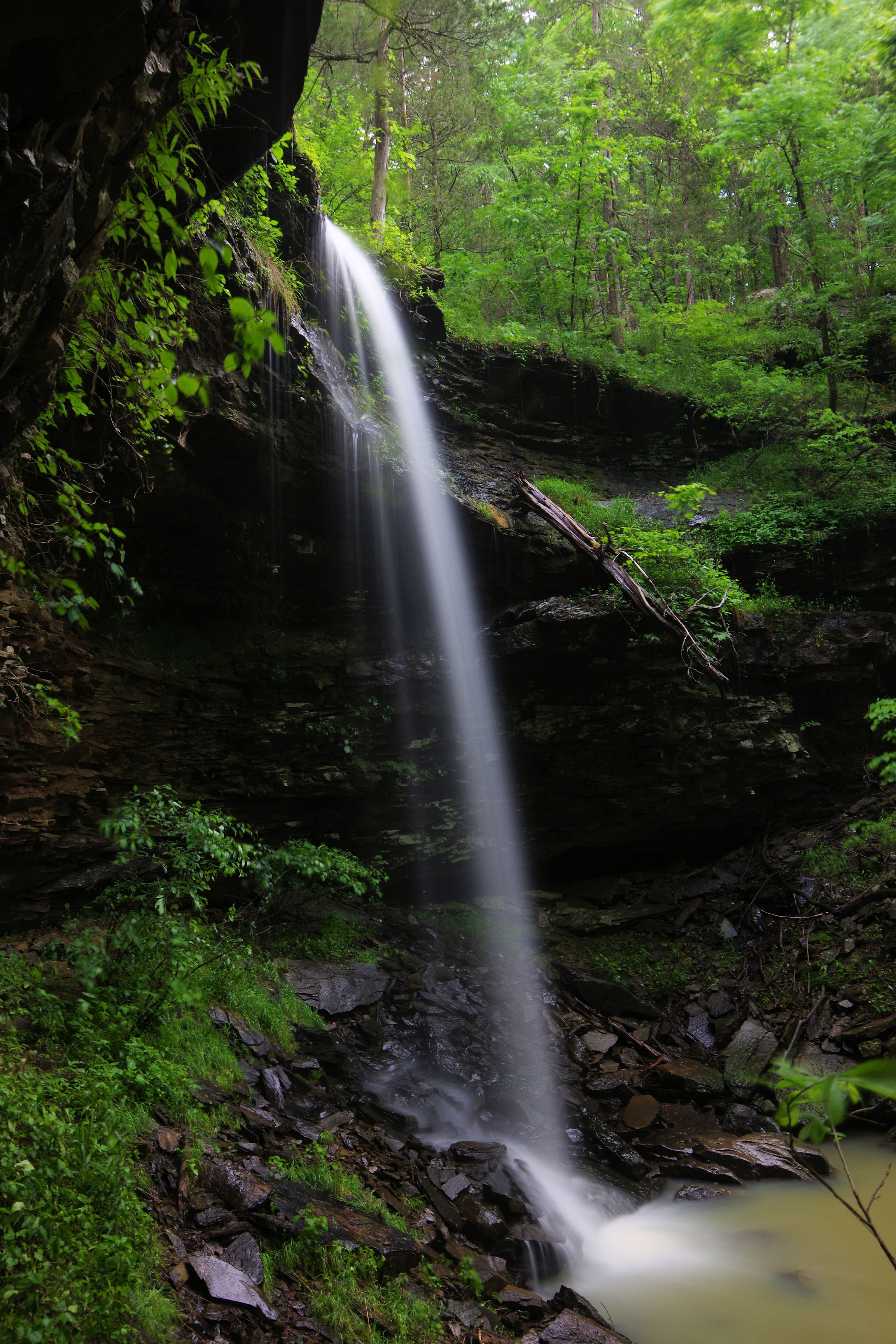 WF #8 Penhook Falls 35.56745°, 92.95155° (Pic by Zack Andrews) |
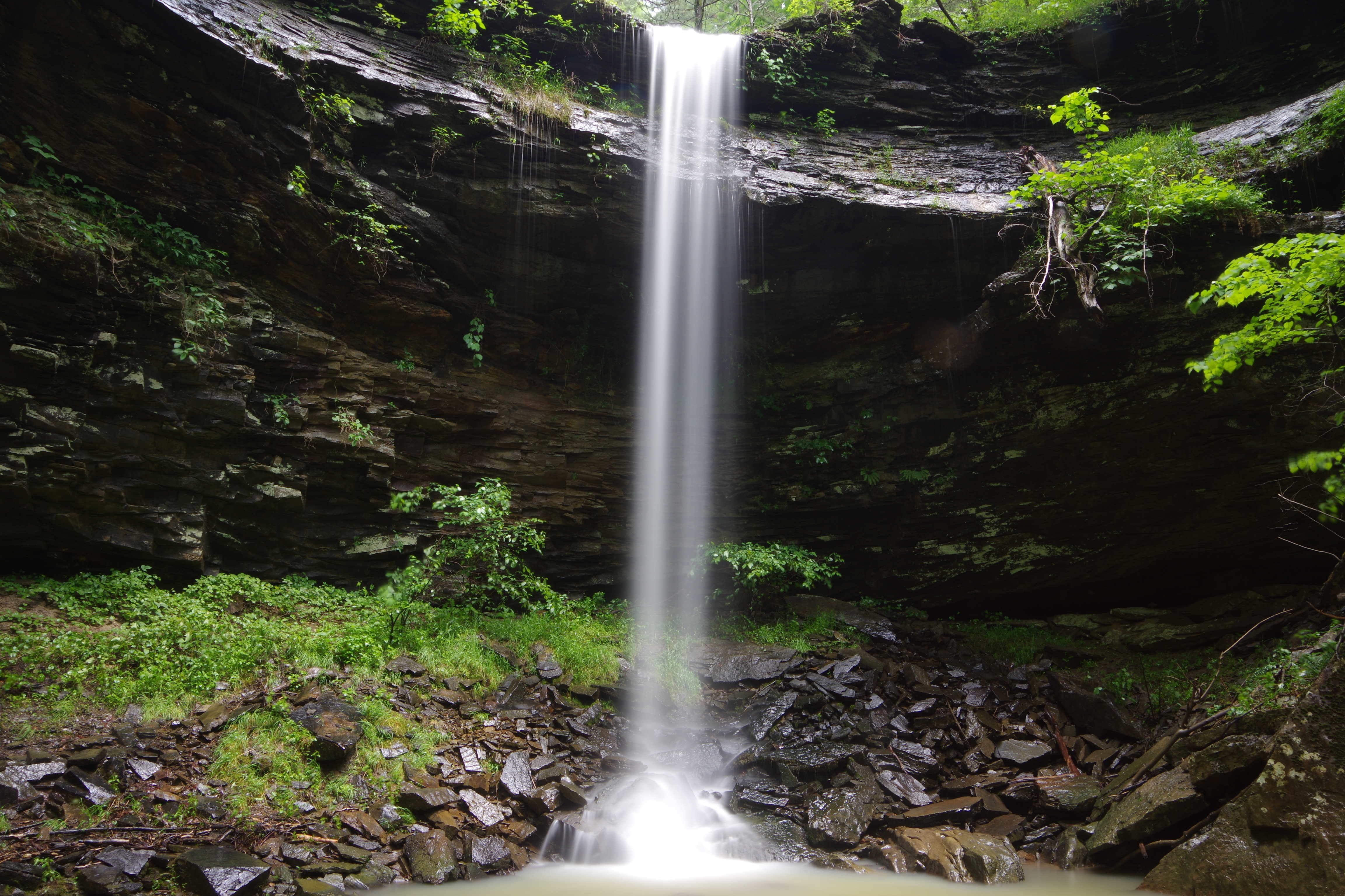 WF #8 Penhook Falls |
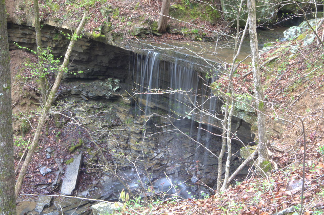 WF # 9 Conc. Slab Falls 35.56602°, 92.95203° |
 WF #9 Conc. Slab Falls (closeup) Why the name? The top of the waterfall looks like two concrete slabs! |
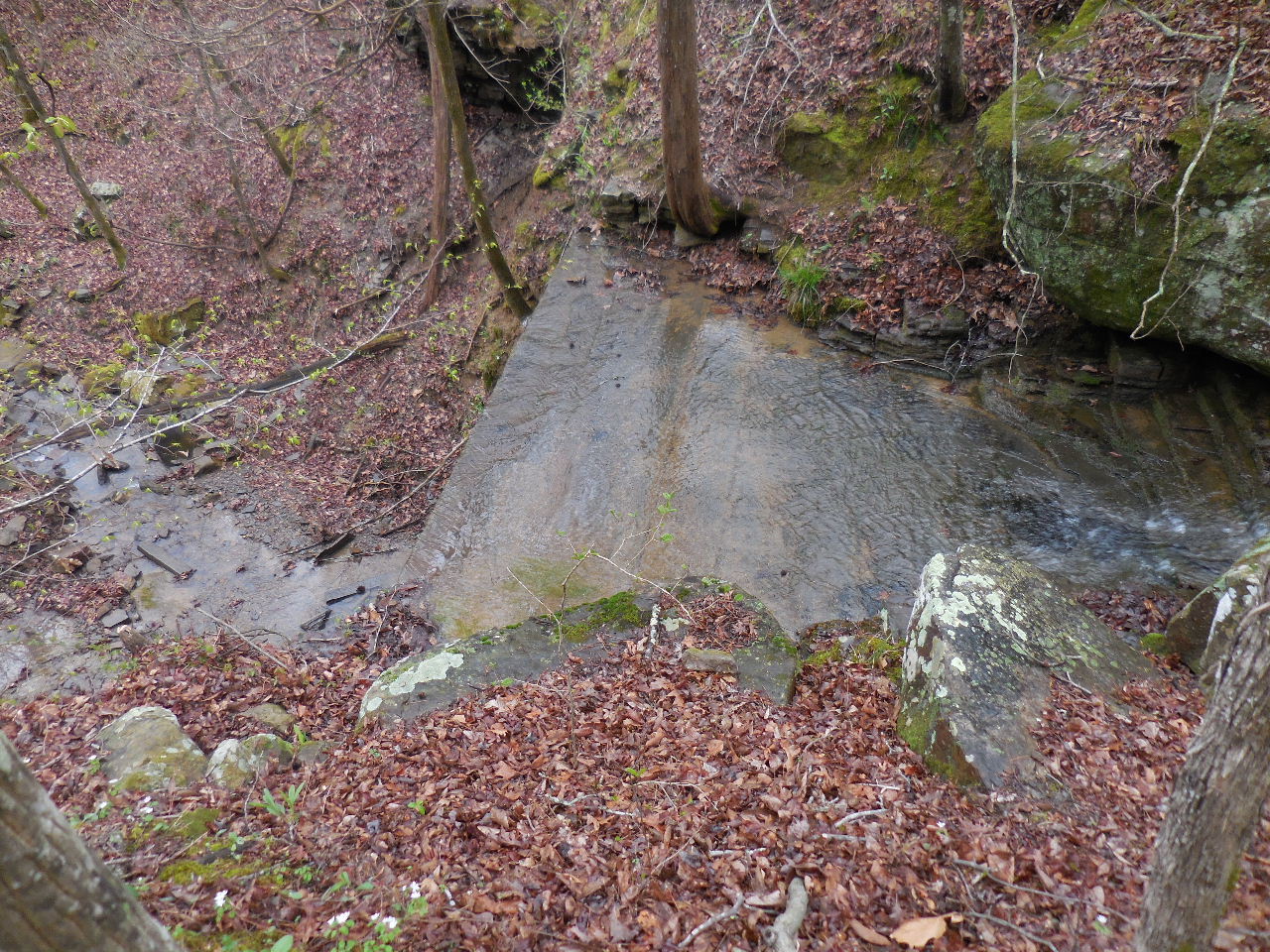 Top of WF #9 Conc. Slab Falls |
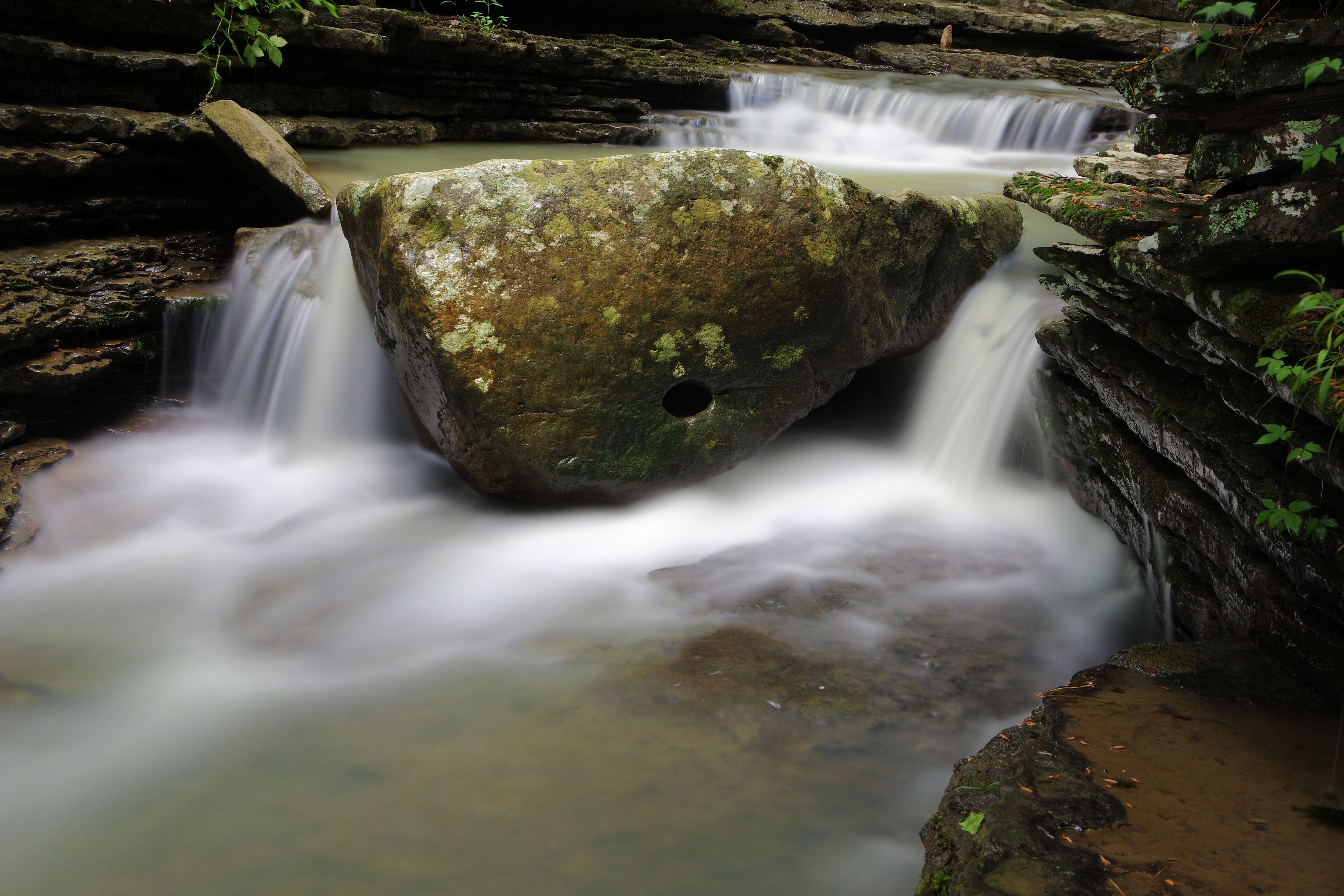 WF #10 Hole in the Rock Falls 35.56569°, 92.95115° |
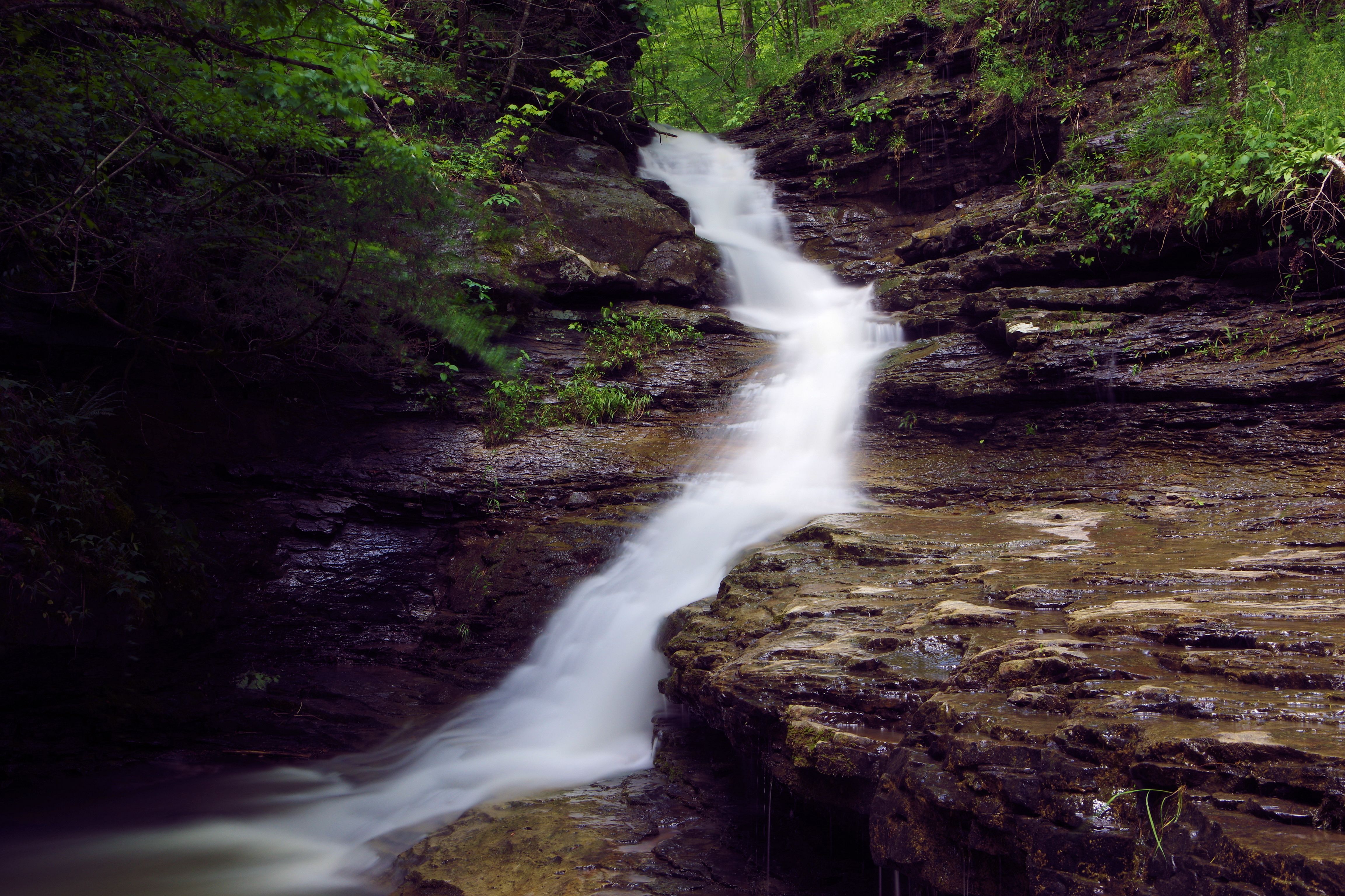 WF #11 Waterslide Falls 35.56548°, 92.95083° |
 WF #12 35.56532°, 92.95078° |
 WF #13 35.56456°, 92.95063° |
WF #7 35.57077°, 92.95276° Access Point "A" 35.56514°, 92.95292° Access Point "D" 35.56867°, 92.94994° Access Point "E" 35.56261°, 92.95061° Parking Area #1 35.54023°, 92.95026° Parking Area #2 35.54465°, 92.94931° |
 The Diggins 35.56405°, 92.95032° |