
| TAKAHIK River Valley Hikers |
| Home Scheduled Hikes Pictures Videos Membership Links Trails & Waterfalls Products In Memory Of Scholarships |
| PINE HOLLOW |
|
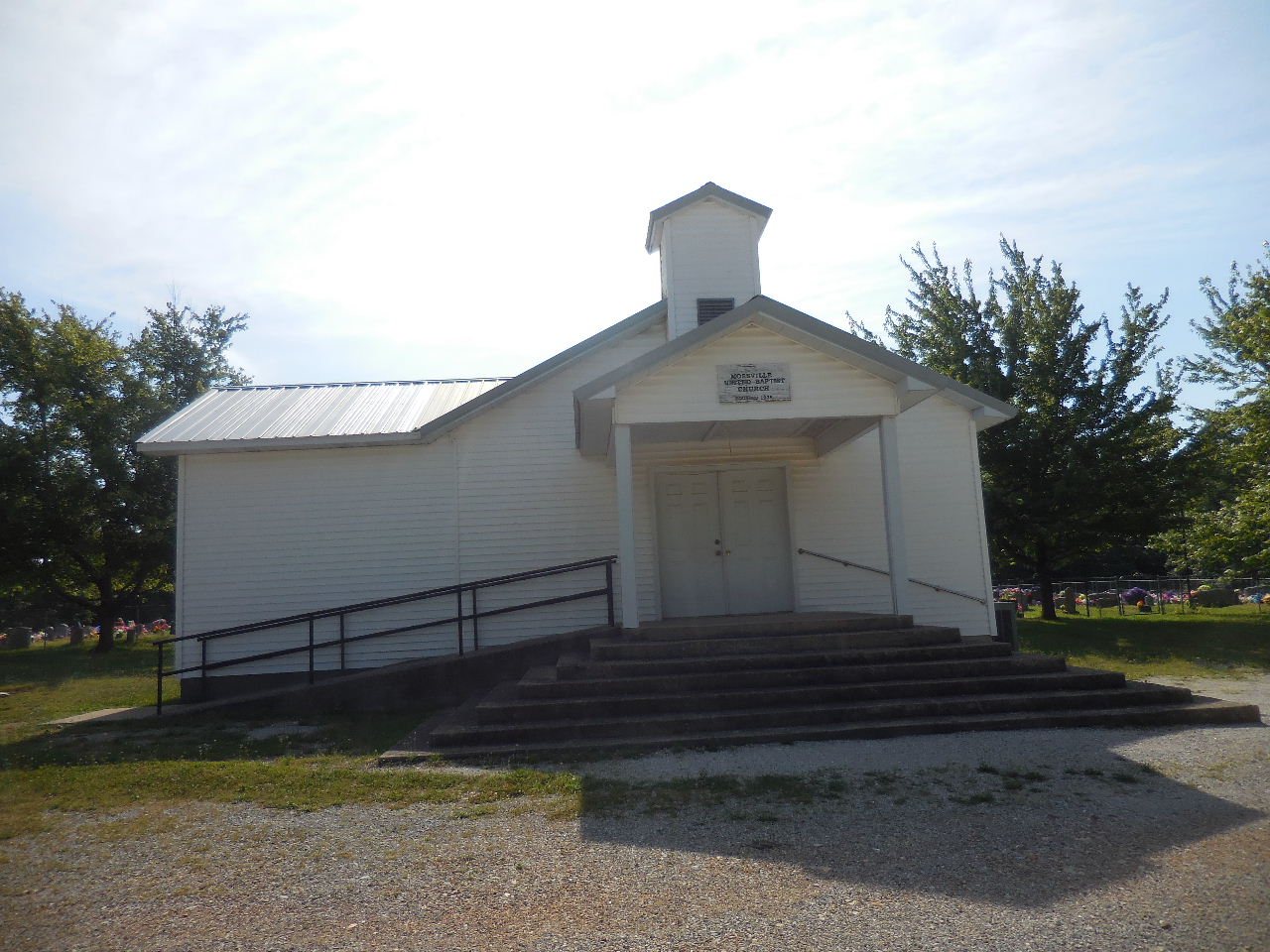 Mossville United Baptist Church 35.89437°, 93.40197° (Downtown Mossville) |
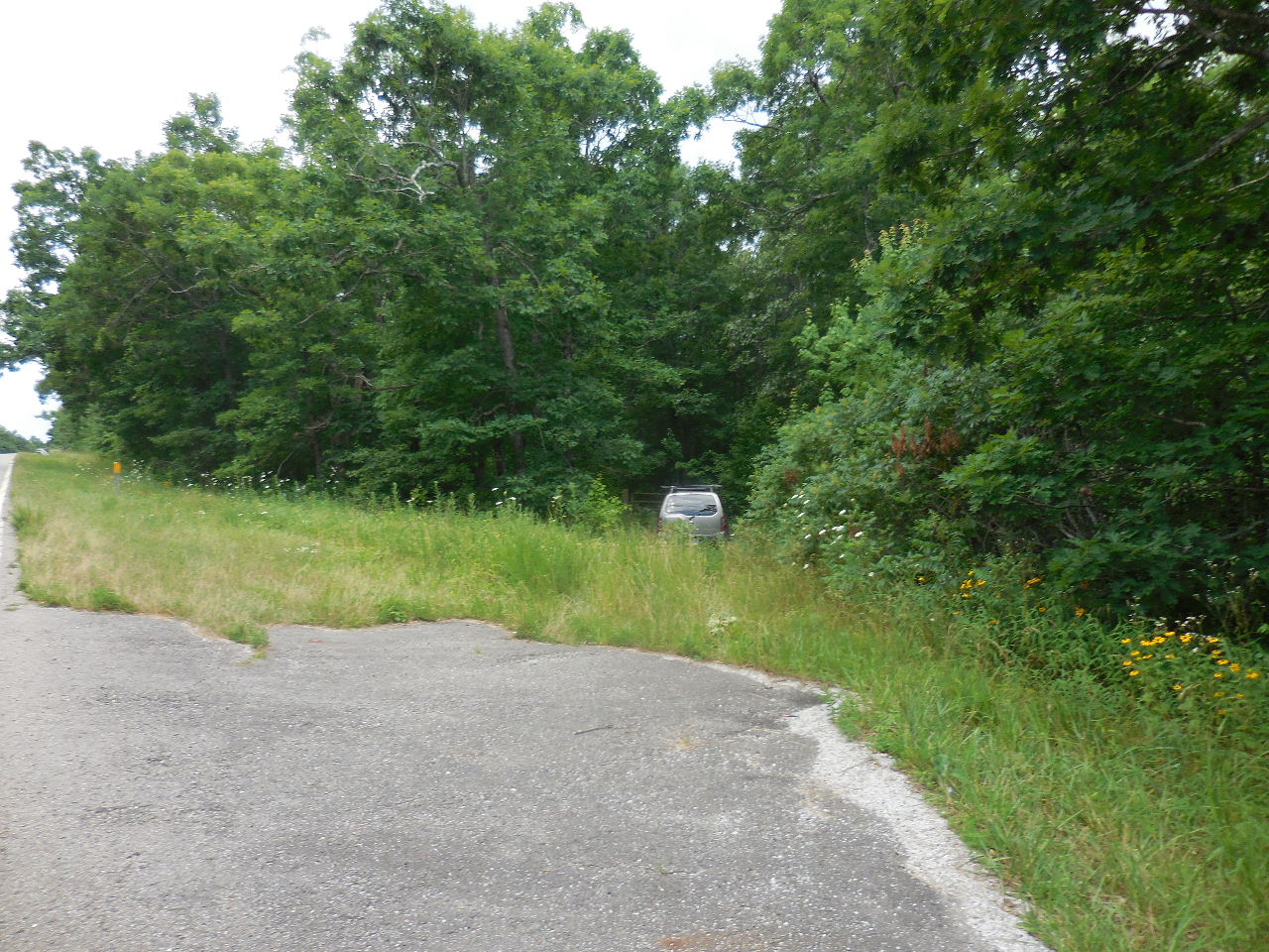 Parking Area 35.90316°, 93.38554° (0.5 miles north of Mossville Church) |
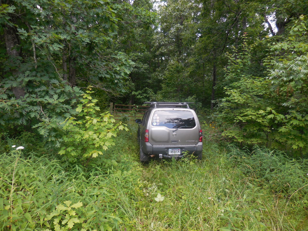 Park at Gate (You can park at Mossville Church and shuttle folks to Parking Area) |
 Private property beyond this sign.... 35.90084°, 93.38519° |
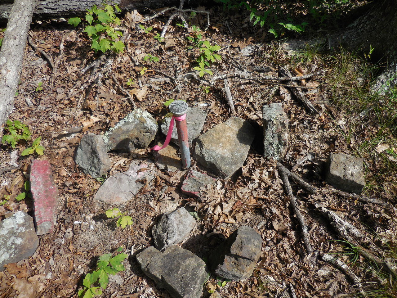 Access Point "A" (Prop. Corner Monu.) 35.90062°, 93.39136° |
 WF #1 Pine Hollow Falls 35.89969°, 93.39325° |
| WF #2
35.90034°, 93.39442° Access Point "B" 35.90060°, 93.39687° Access Point "C" 35.90216°, 93.39459° |
.JPG) Spherical Rocks "1" 35.90010°, 93.39369° |
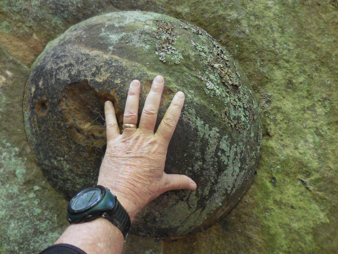 Spherical Rock "1" |
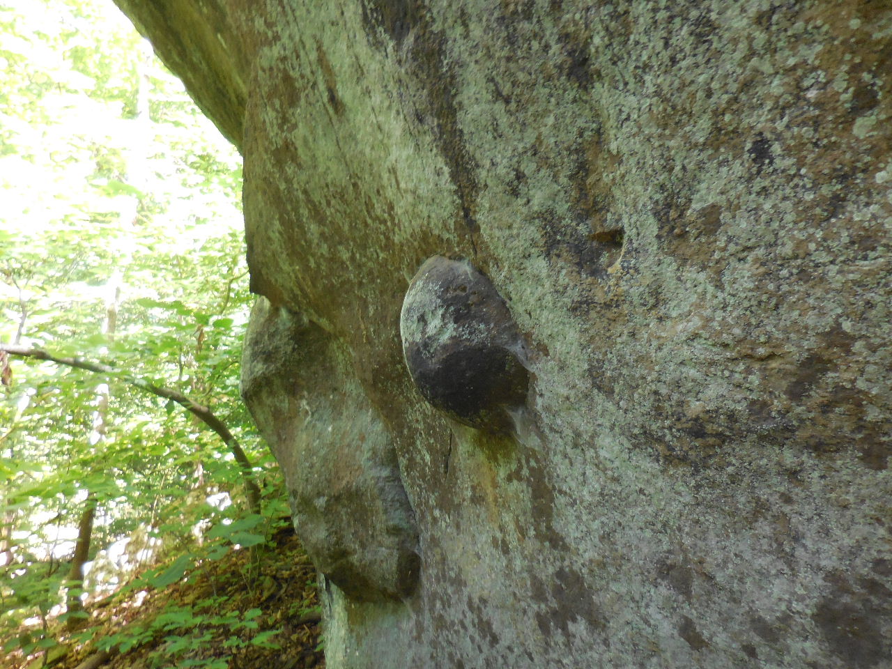 More Spherical Rocks 35.89992°, 93.39390° |
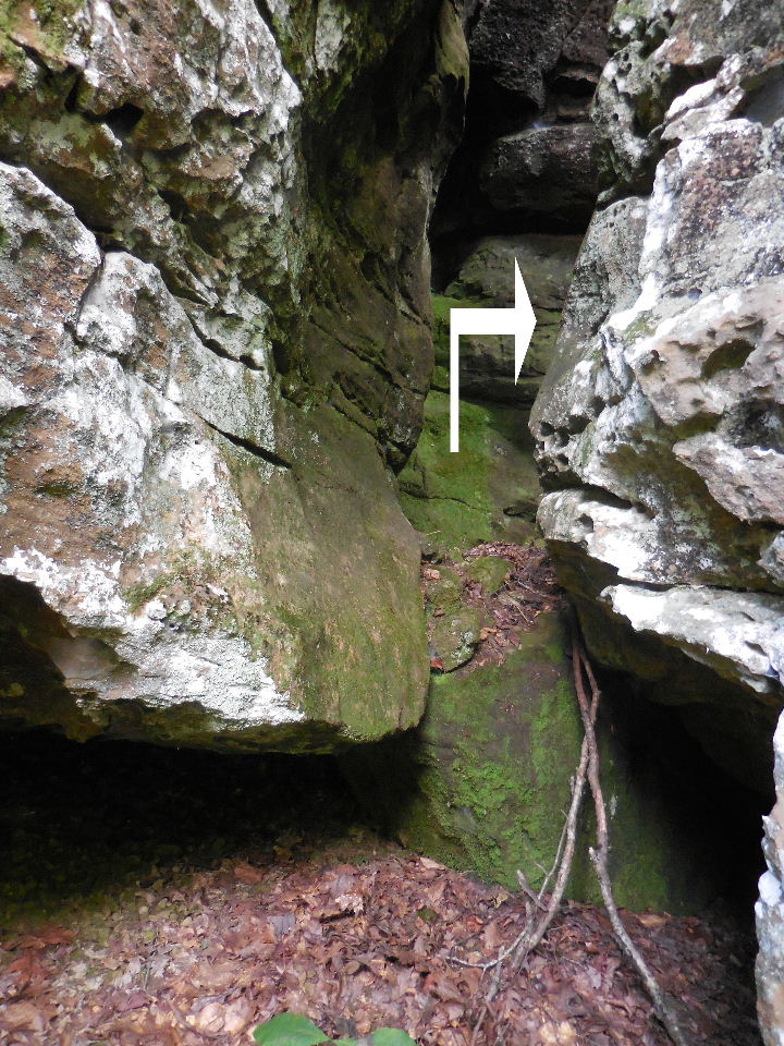
.JPG) The Moon-Slot "2" 35.89980°, 93.39405° |
.JPG) The Moon-Slot "2" |
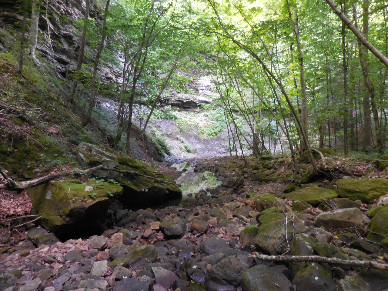
 Grotto "3" 35.89987°, 93.39516° |
||
 Access Point "D" 35.90629°, 93.40469° |
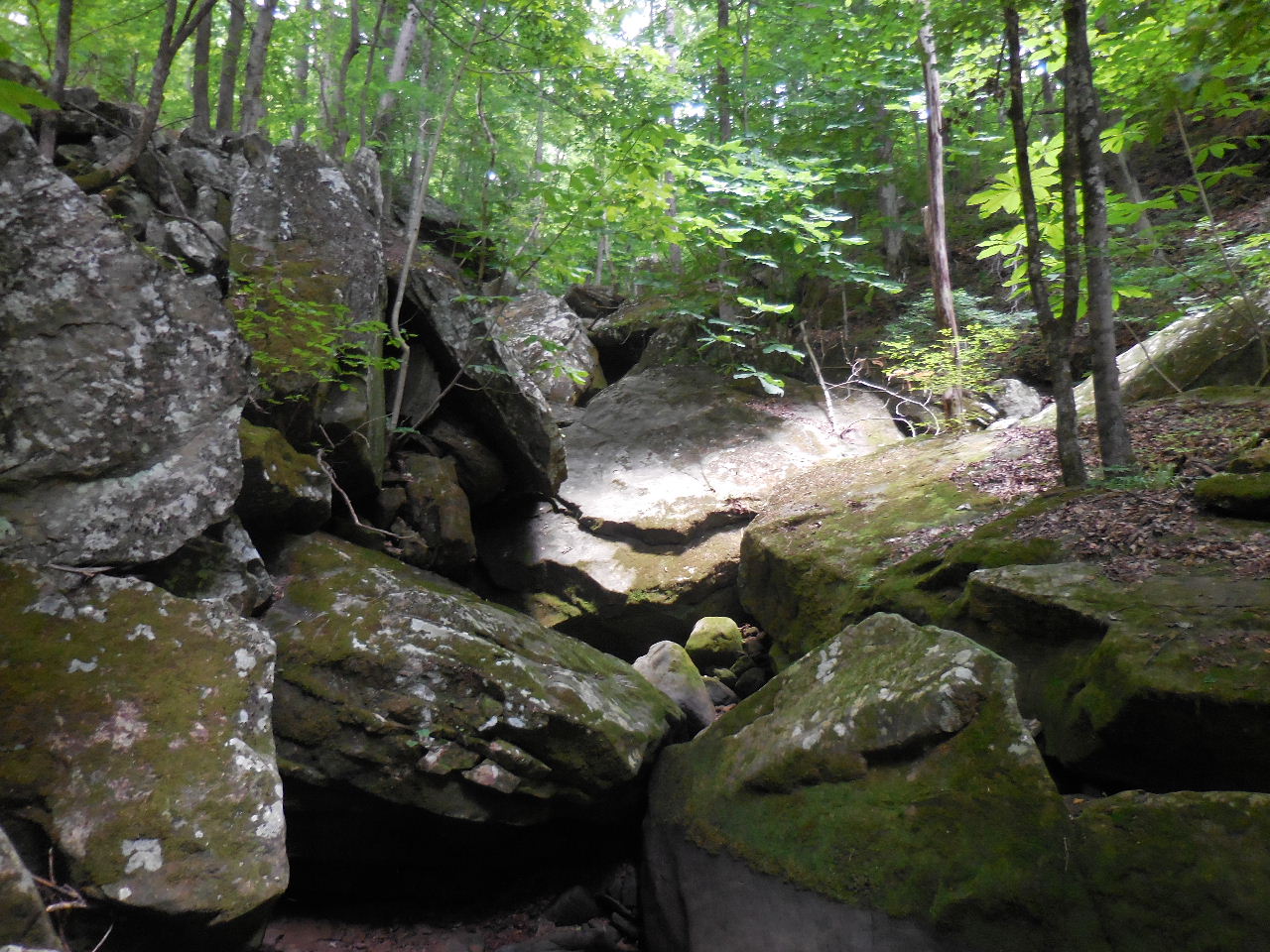 Rock Boulders (blocking path to WF #3) 35.90783°, 93.40223° |
WF #3 35.90984°, 93.39728° |
.JPG) Hall of the Mt. King "4" 35.90714°, 93.39978° |
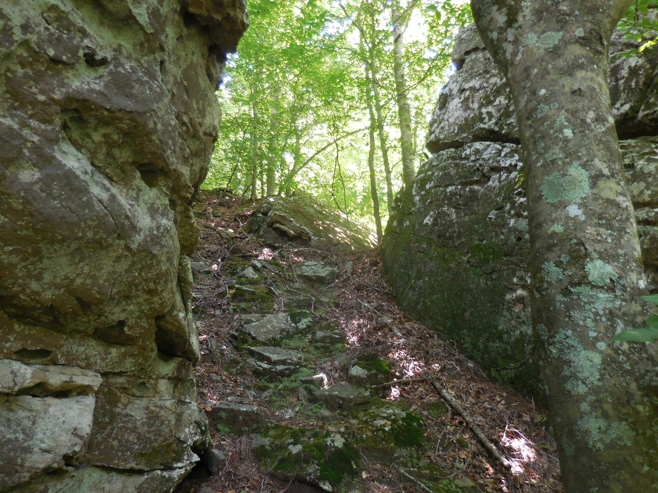
 Bear Crack "5" 35.90724°, 93.40016° |
.JPG) Looking back at Bear Crack (after you have made your way thru it) |
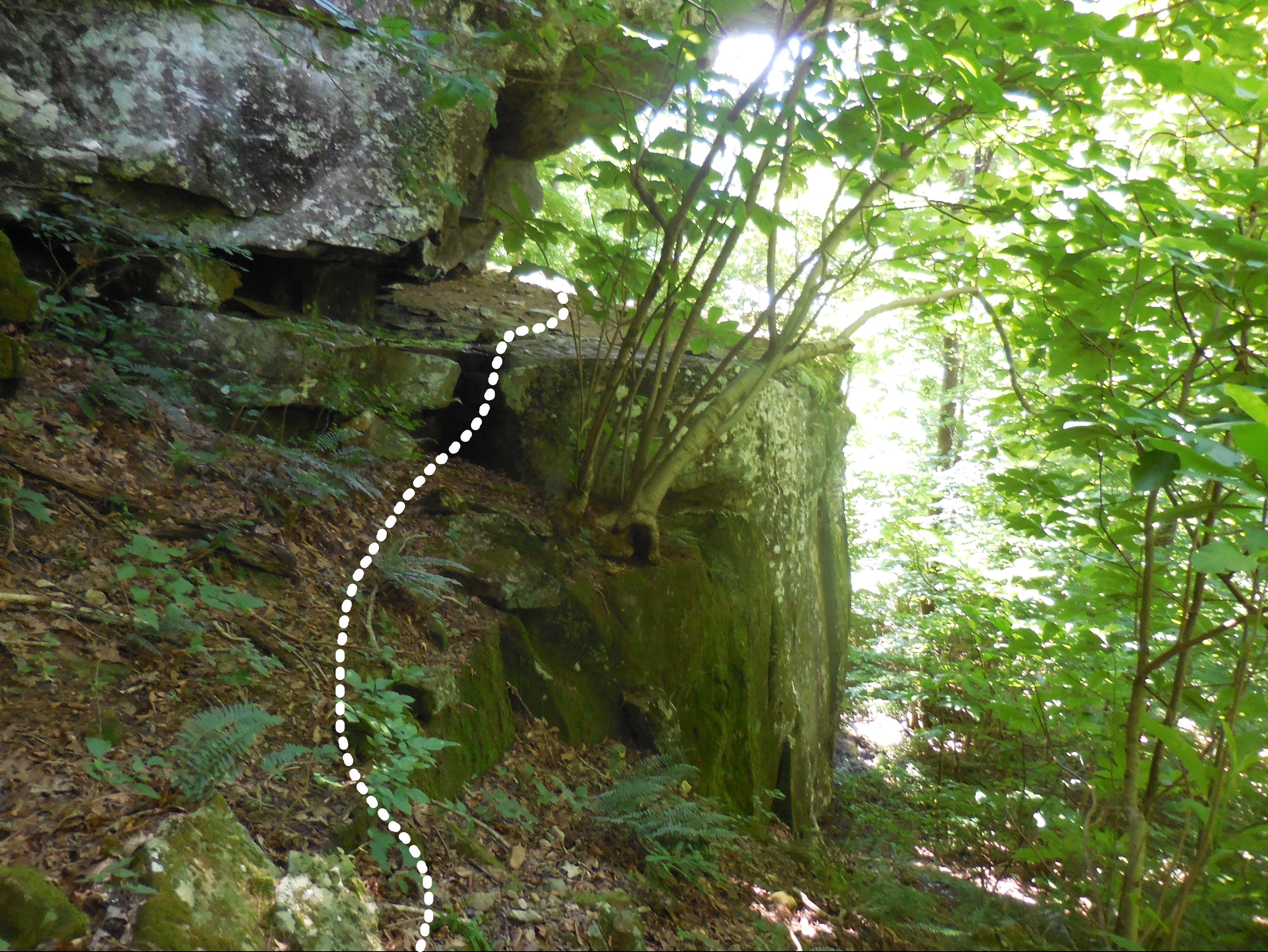 Make you way up on The Ledge 35.90682°, 93.40161° (Just around the corner is your access out) |
 Access Point "E" 35.90667°, 93.40166° |
|