.jpg)
| TAKAHIK River Valley Hikers |
| Home Scheduled Hikes Pictures Videos Membership Links Trails & Waterfalls Products In Memory Of Scholarships |
| REDDING LOOP TRAIL/SPY ROCK SPUR |
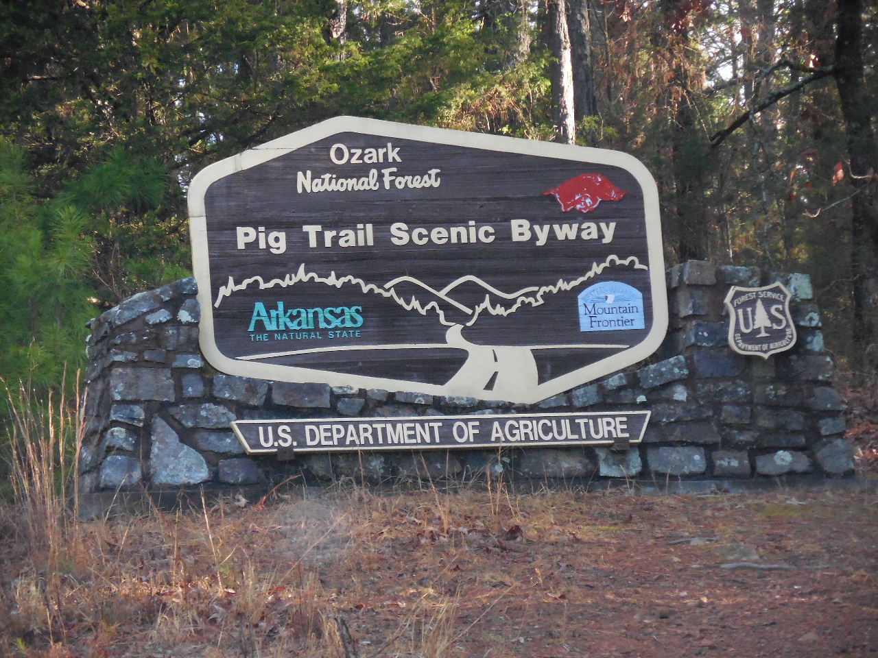
.JPG) Exit 35 at Ozark Highway 23 |
 Entering into Hog Country |
 Parking area at Hwy. 23 and Hwy. 215 (Just north of Cass) |
 Hwy. 215 and FR 1003N leading to Redding Campground (2.7 miles from Hwy. 23) |
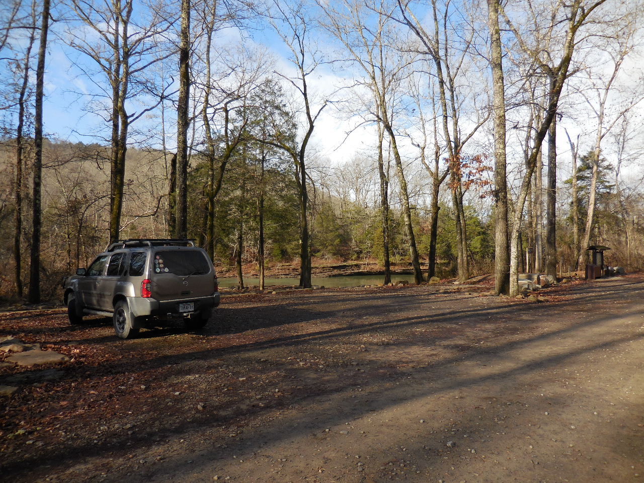
 Redding Campground and Boat Launch at Parking Area "A" |
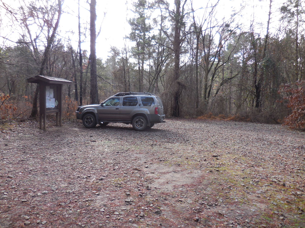
 Parking Area "A" 35.68164°, 93.78673° |
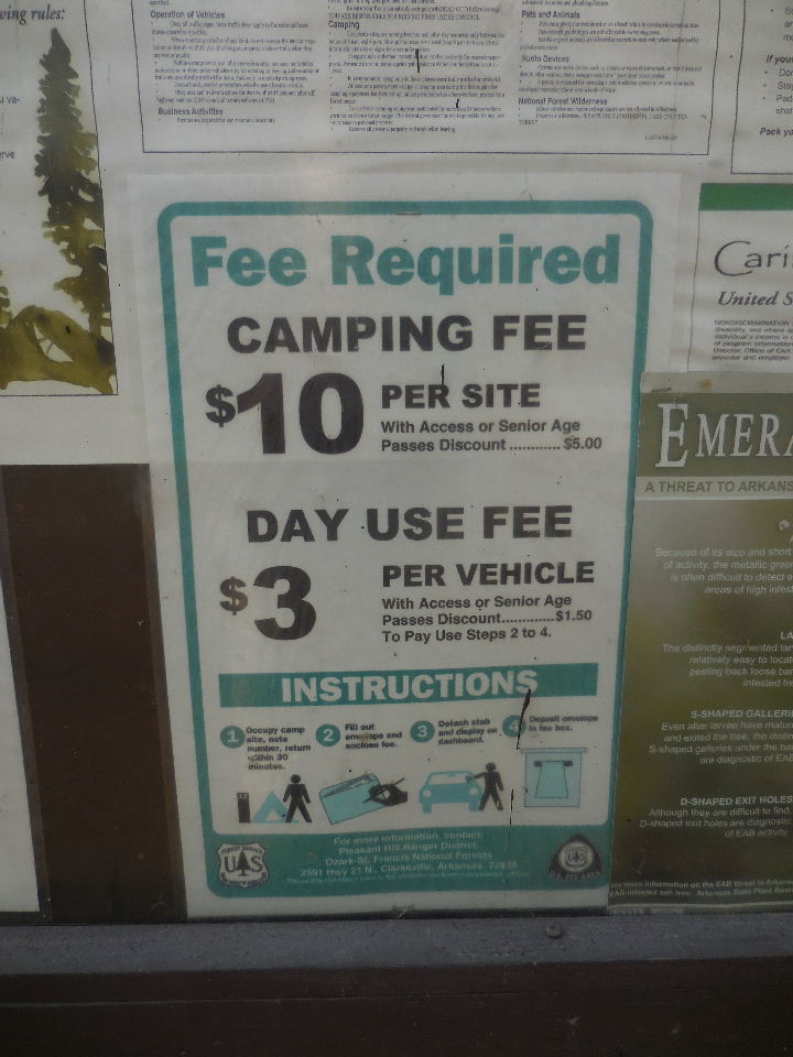 $3 Parking Fee at Parking Area "A" |
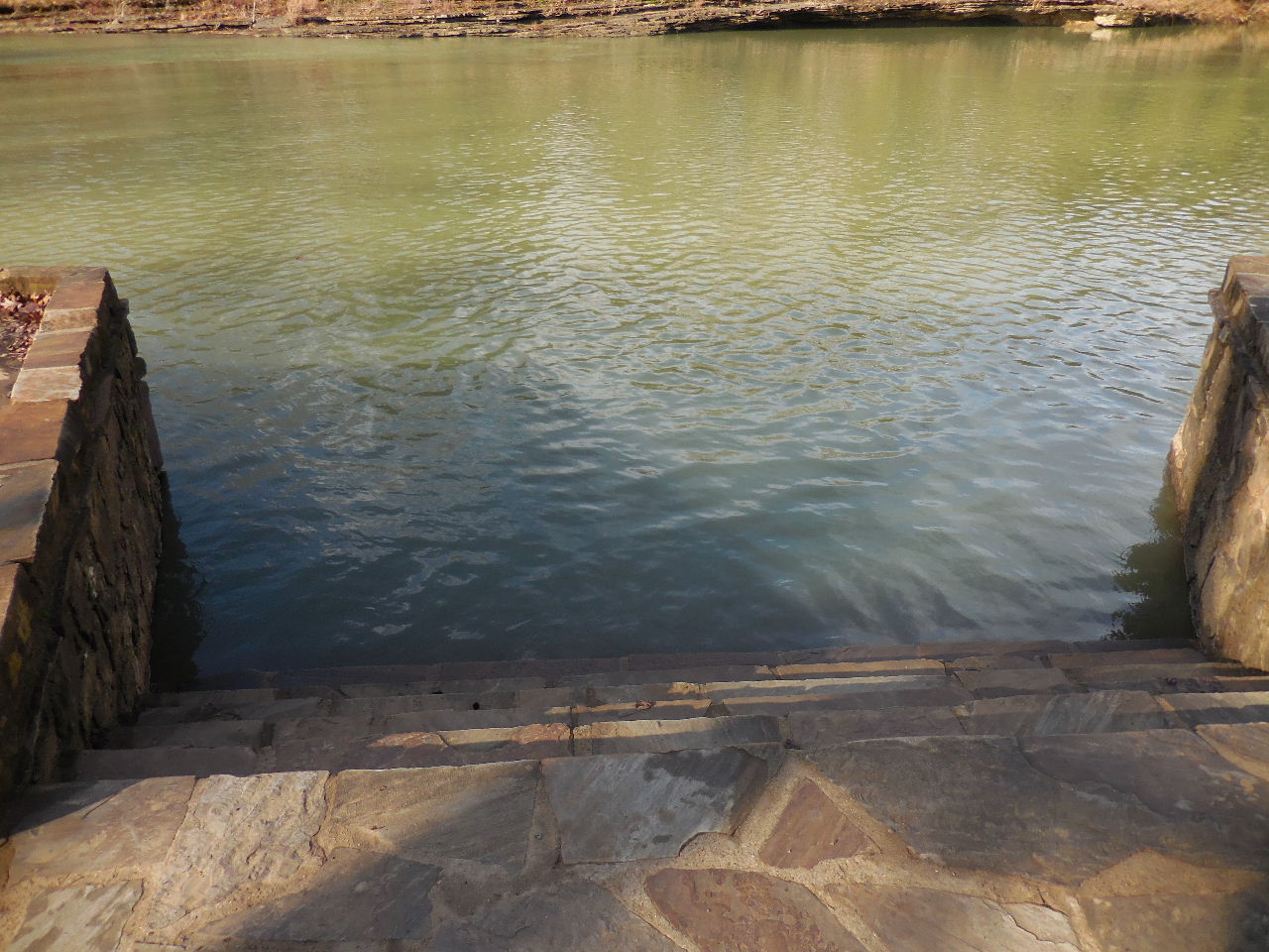
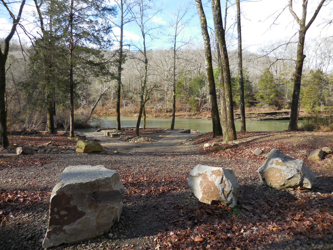 Looking at Launch Area |
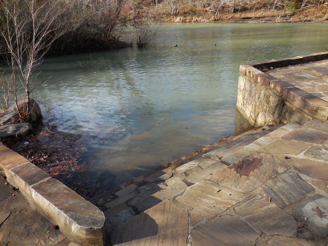
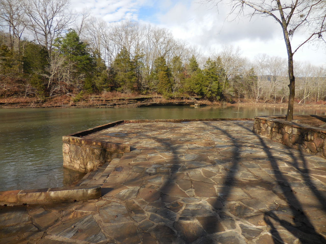 Rock Patio Launch Area |
 East Launch Area |
 West Launch Area |
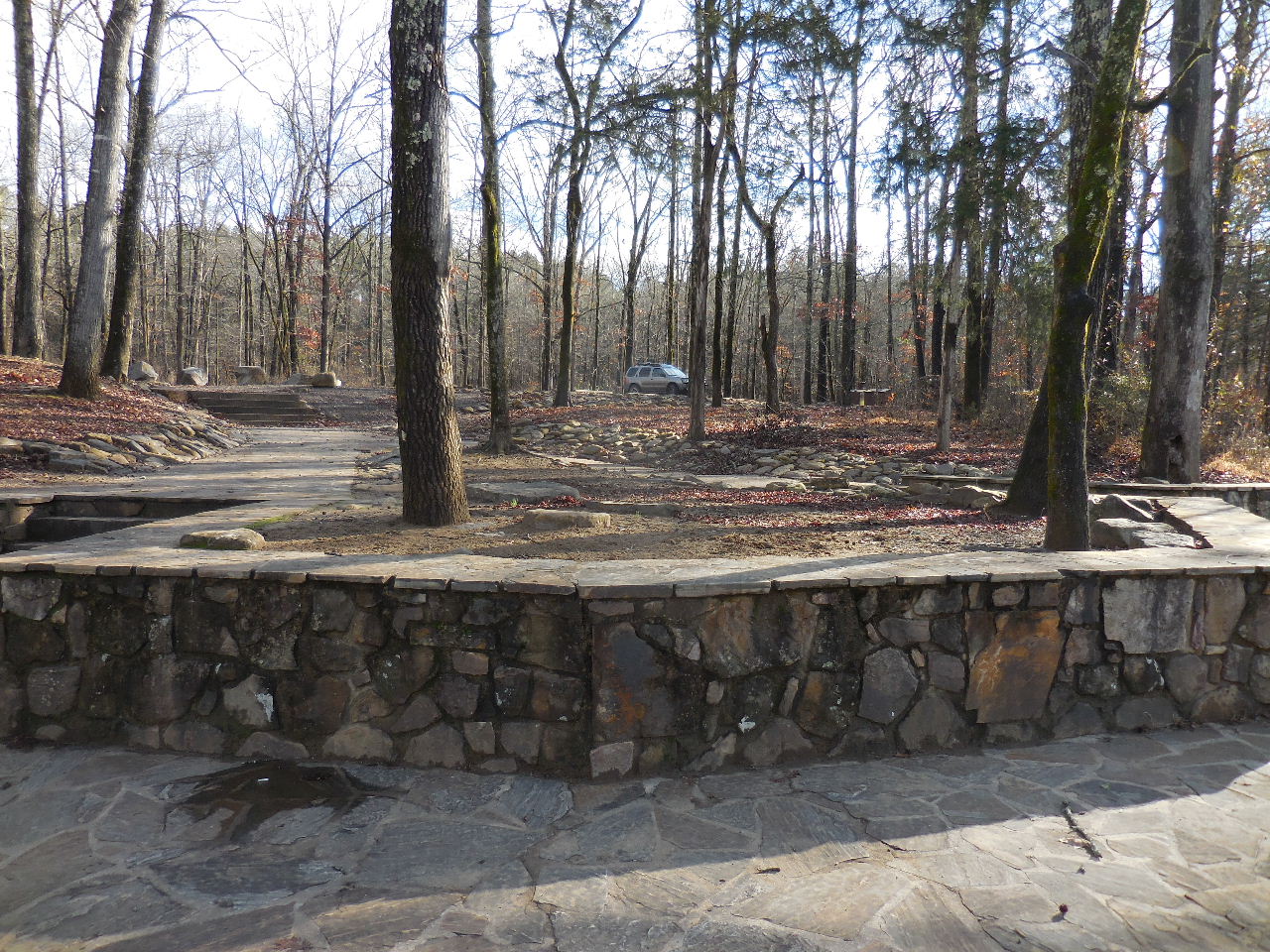 Looking back at Parking Area "A" |
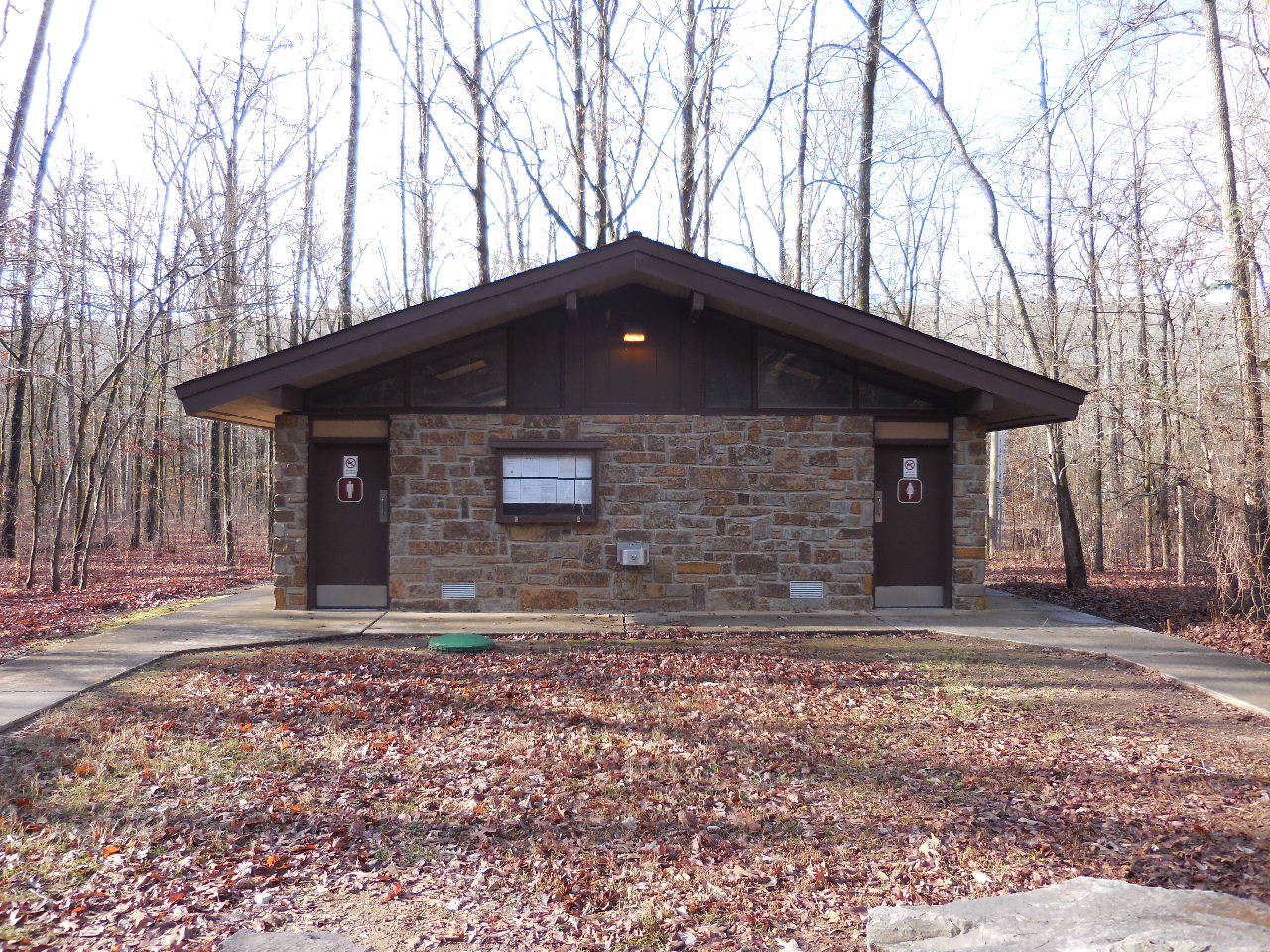 Restrooms north of Parking Area "A" |
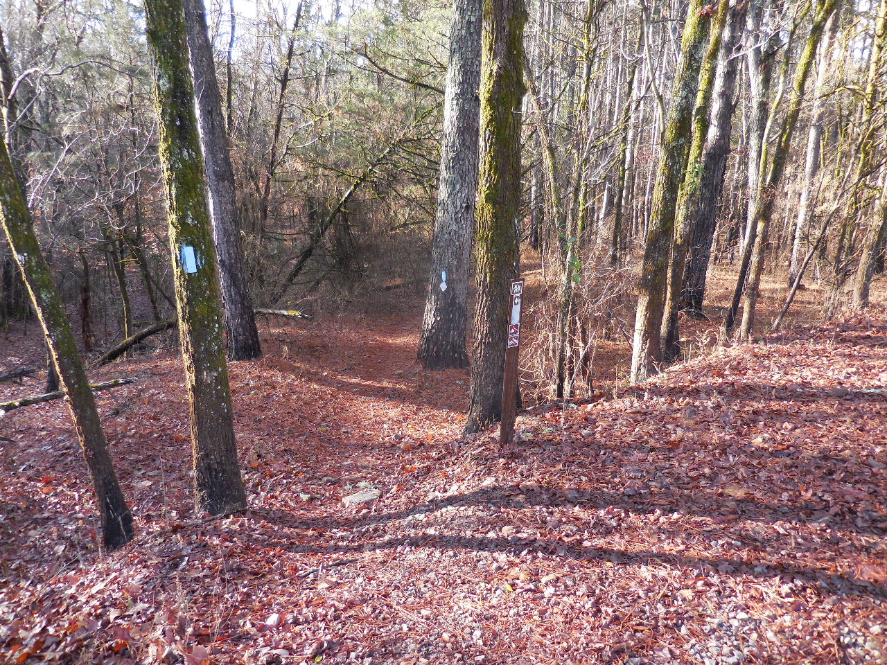
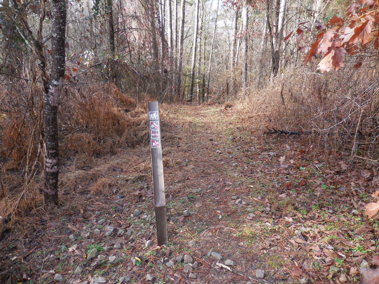
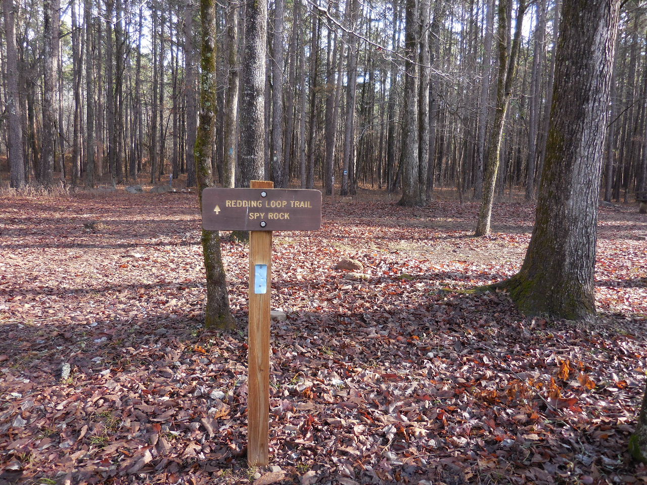 Redding Loop Trail Access Point #1 (35.68221°, 93.78583°) begins across the road from the restooms, between campsites 20 and 21. |
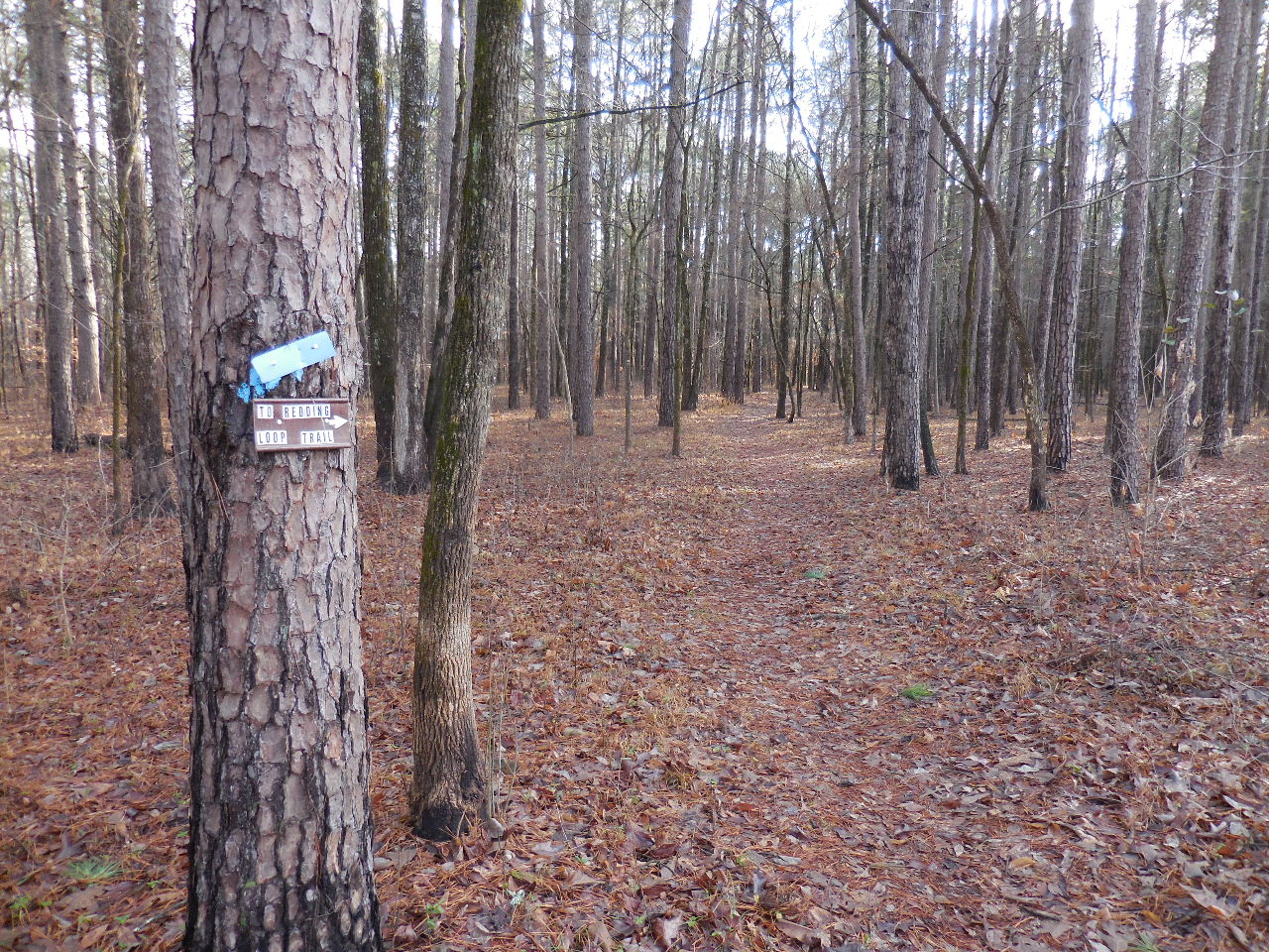 Trail leading to Access Point #2 |
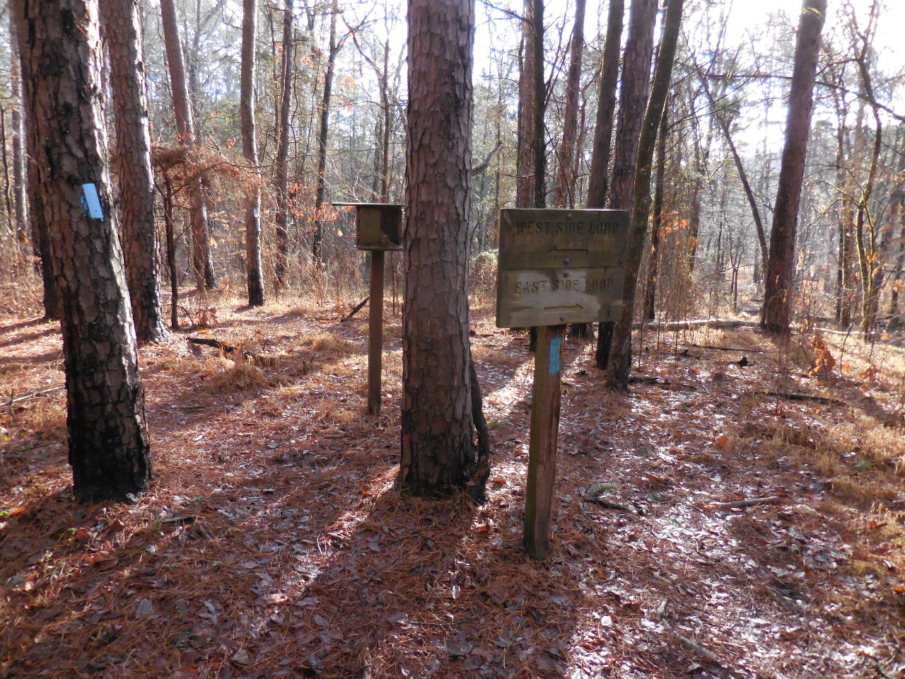 Access Point #2 (35.67796°, 93.77880°) Intersection of West and East Loops |
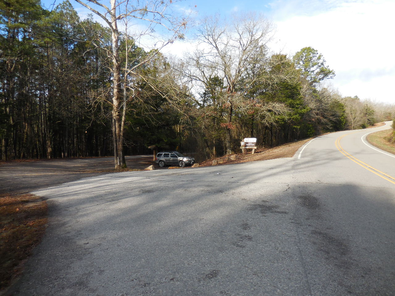
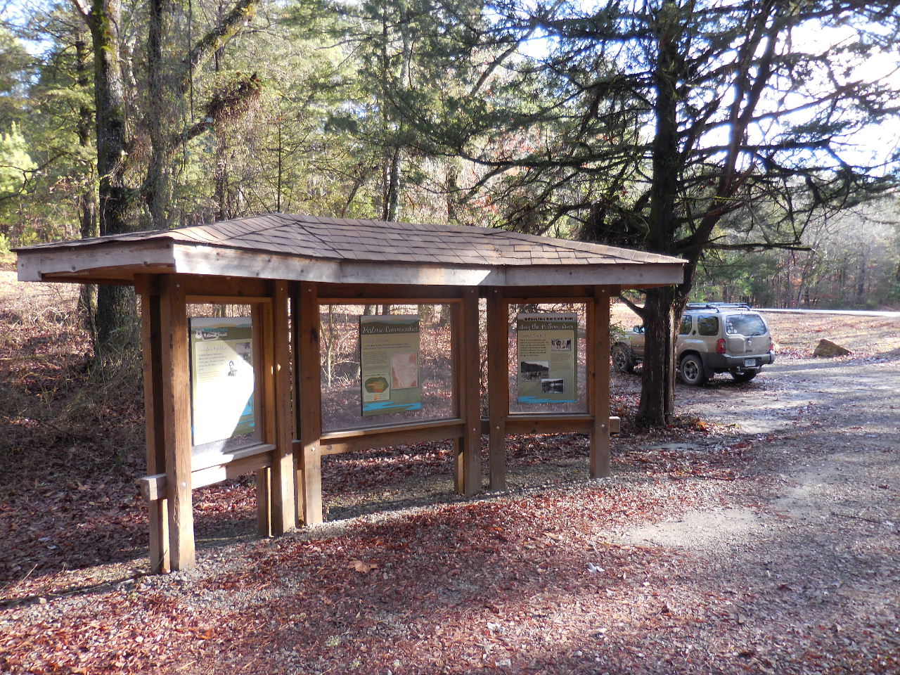
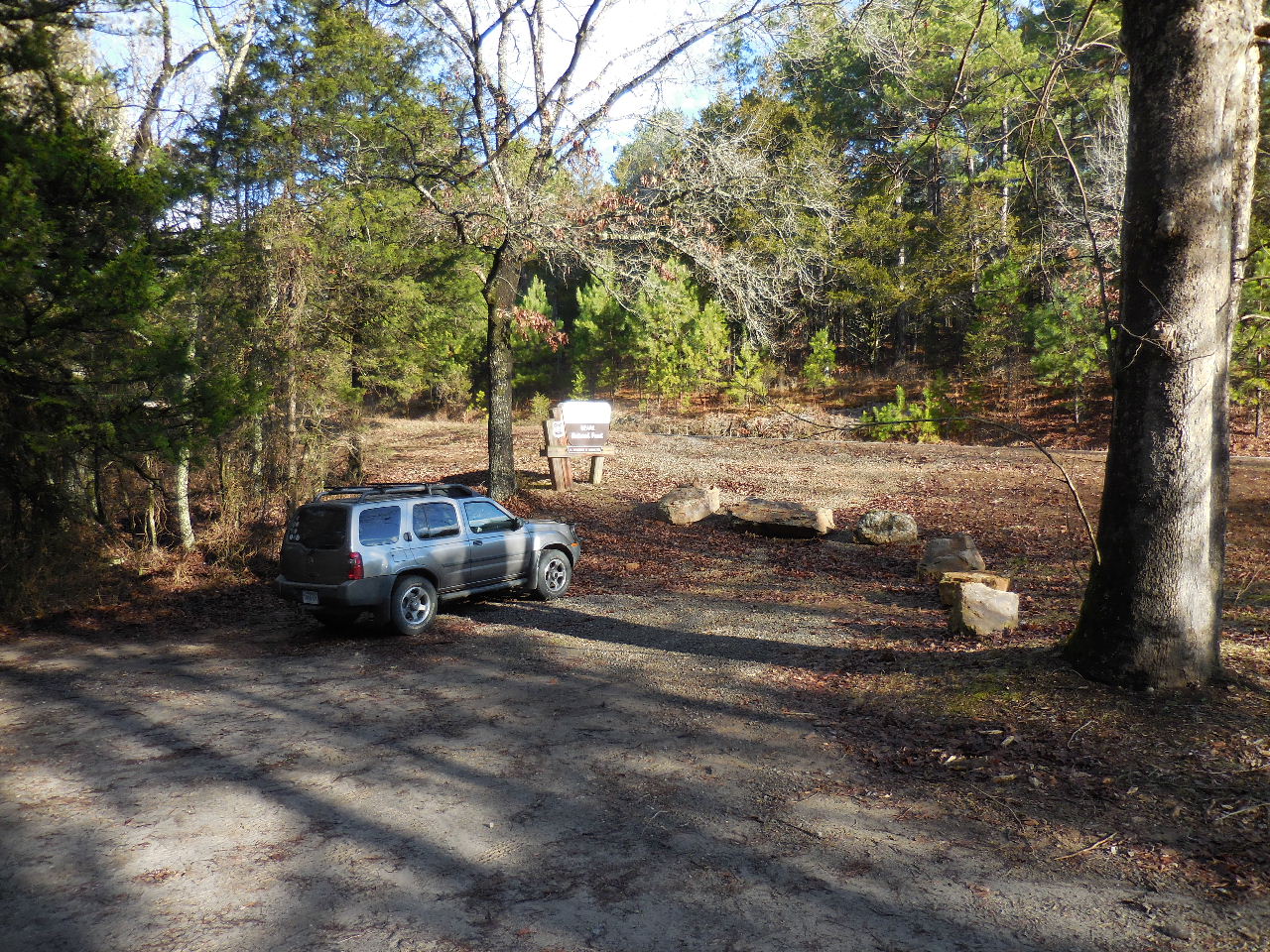 Parking Area "B" (35.67991°, 93.77753°) Hwy. 215 and entrance to Redding Campgroung |
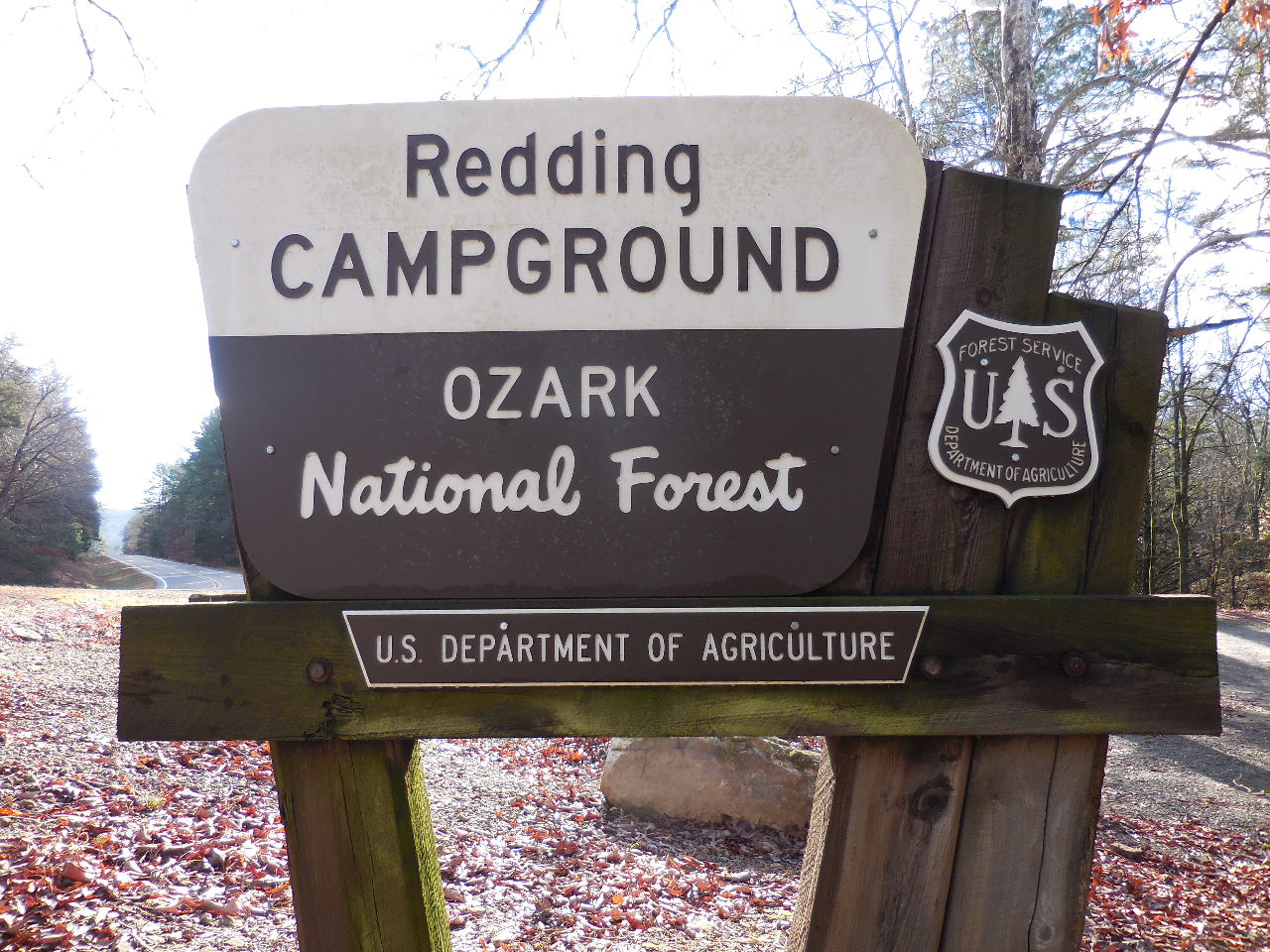 Sign at entrance of Redding Campground and Highway 215 |
 Trail heading south to Access Point #2 from Parking Area "B" |
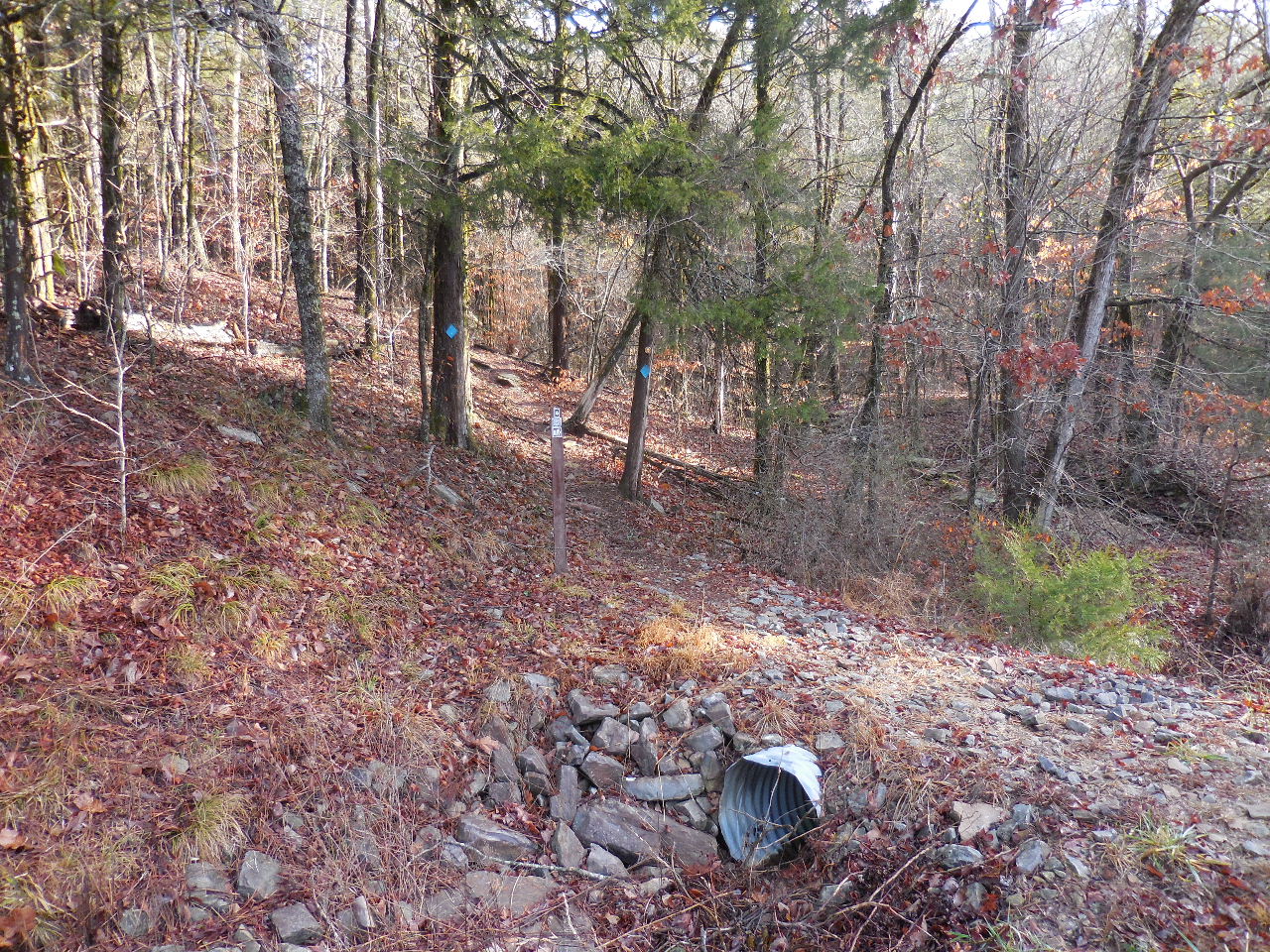 Trail heading north, across highway from Parking Area "B" Access Point #3 (35.67992°, 93.77705°) Redding West Side Loop |
 Parking Area "B" |
 Parking Area "C" (35.67776°, 93.77315°) 0.2 miles east of Parking Area "B" |
 Trail from Parking Area "C" (Access Point #10) 35.67766°, 93.77325° heading west to Access Point #2 |
 Access Point #9 35.67833°, 93.77160° Redding East Side Loop North side of Hwy. 215 |
 Access Point #4 (East side of road) 35.69496°, 93.76146° |
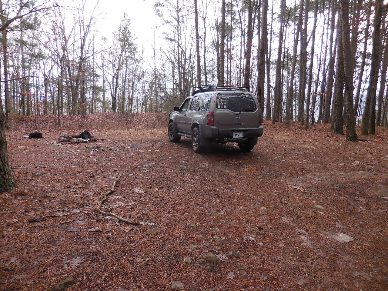 Parking Area "D" (35.69809°, 93.75858°) 1.8 miles from Hwy. 215 (You can access Spy Rock Spur by heading north from parking area) |
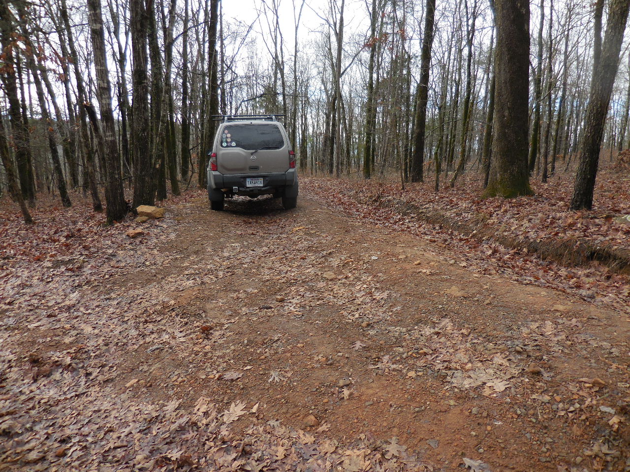
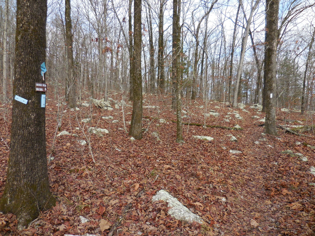
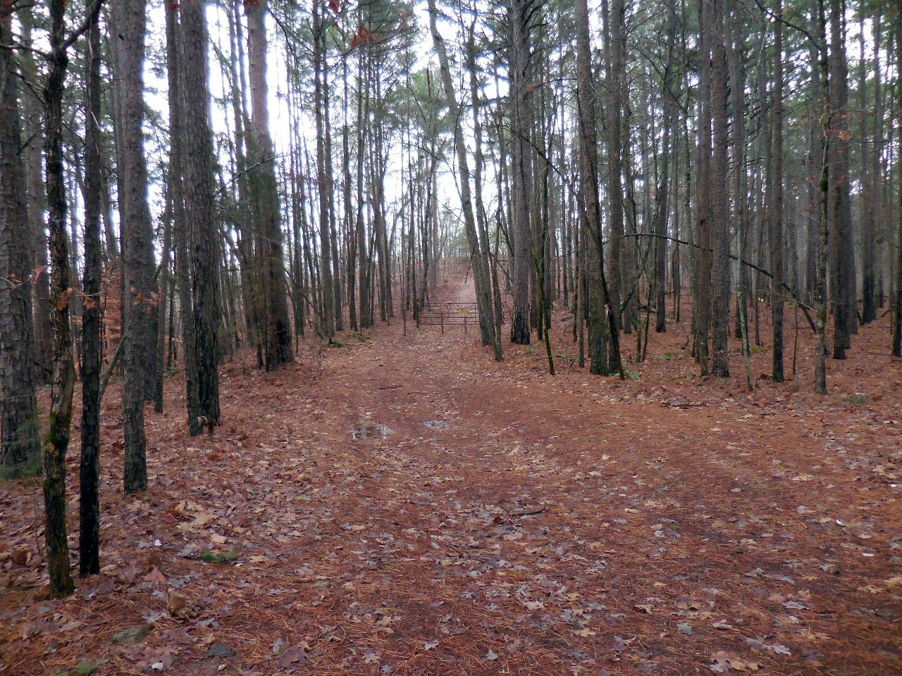 From Parking Area "D", you can follow this road up the hill, passed the gate and on top of the hill you will intersect the Redding Loop Trail. Turn left (east) and followtrail to Access Point #5 |
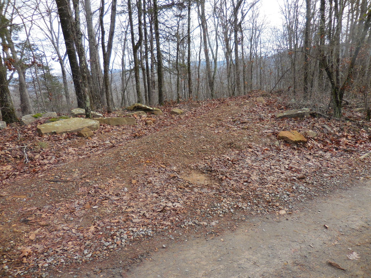
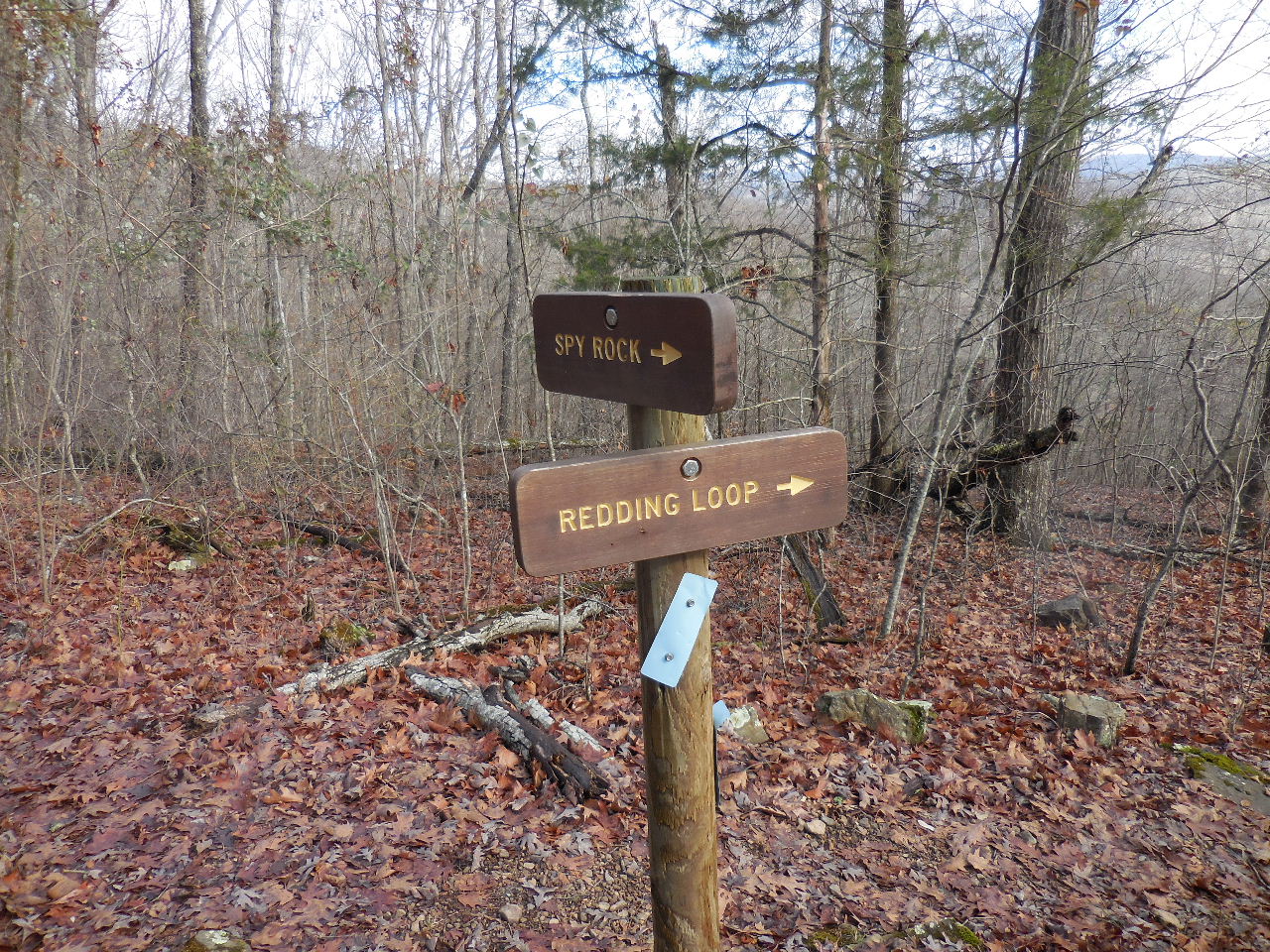
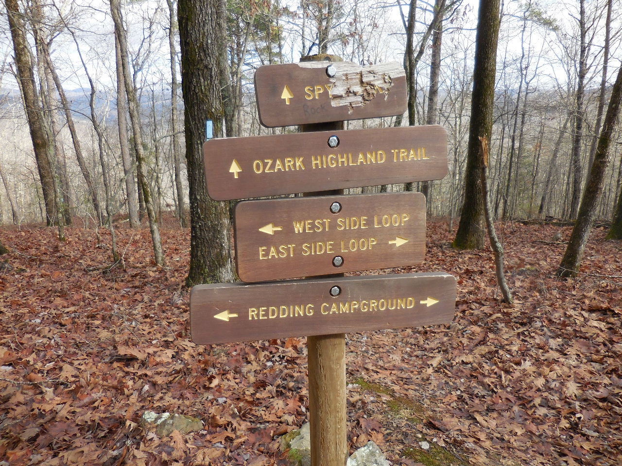 Access Point #5 35.69754°, 93.75774° Intersection of Redding West and East Loops and Spur to Spy Rock and the OHT |
WF #1 Spy Rock Falls 35.69373°, 93.75690° |
|
 Parking Area "E" 35.70222°, 93.76196° (This is actually a road drainage ditch) |
 Parking Area "F" 35.70259°, 93.76217° (This is also a road drainage ditch) |
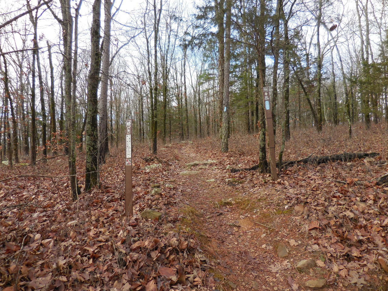 Entrance to trail to Spy Rock Vista 35.70247°, 93.46213° |
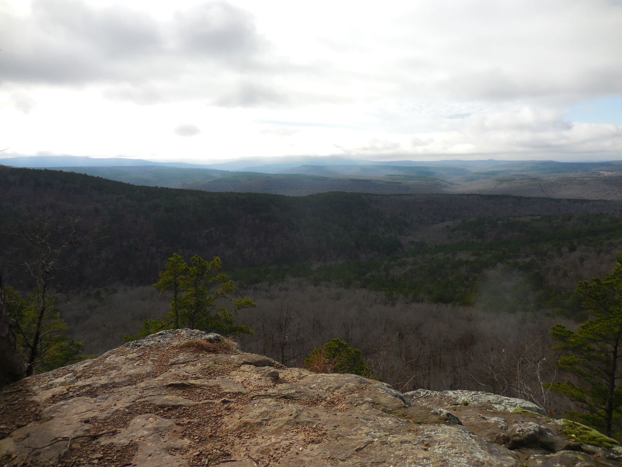 Access Point #7 Sky Rock Vista 35.70091°, 93.76751° |
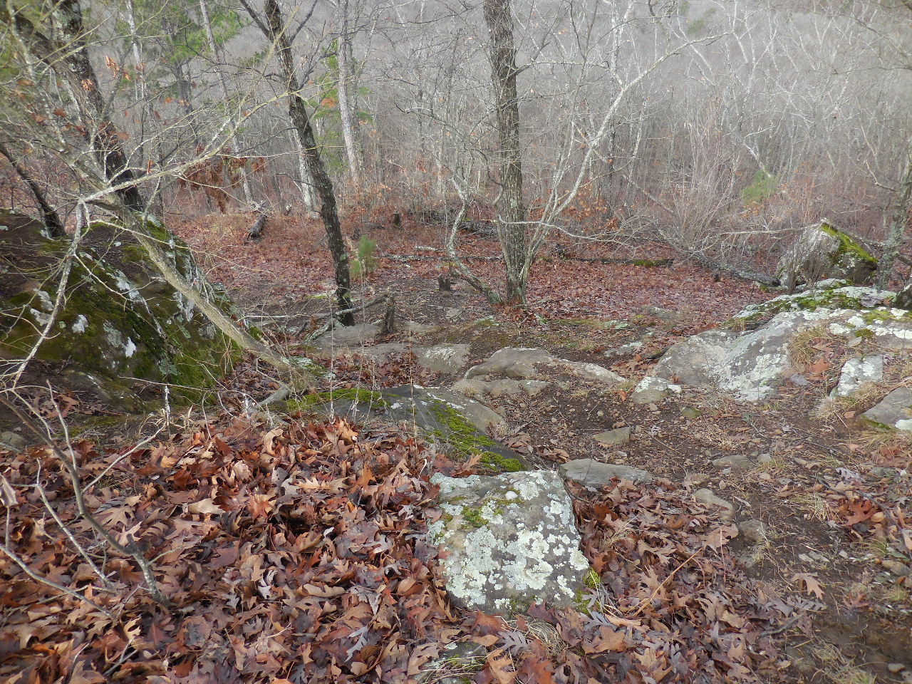 The way down to the lower Sky Rock Vista |
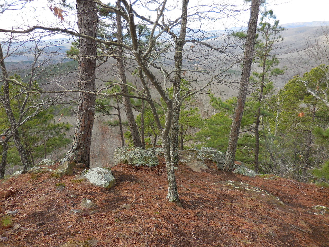 Lower Sky Rock Vista 35.70085°, 93.76772° |
 Access Point #6 (35.70280°, 93.76191°) Head north to access the OHT, or south to access Redding Loop |
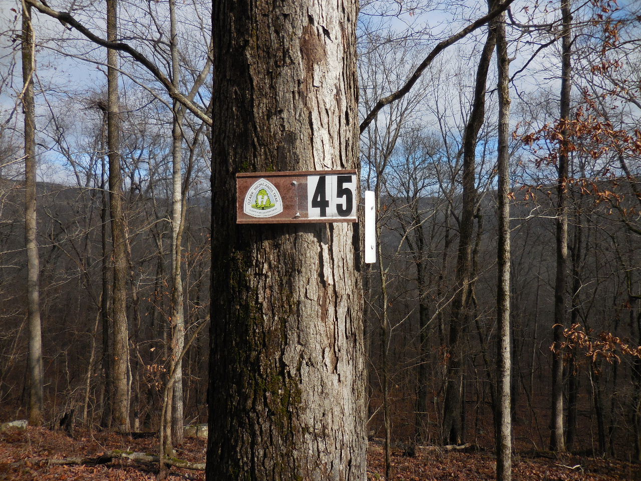
 Access Point #8 (35.70471°, 93.75491°) The OHT at New Mile 45.1 |
 New Mile Marker on the OHT 35.70627°, 93.75481° |