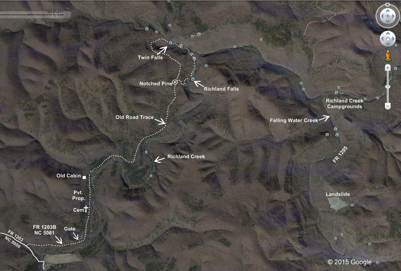
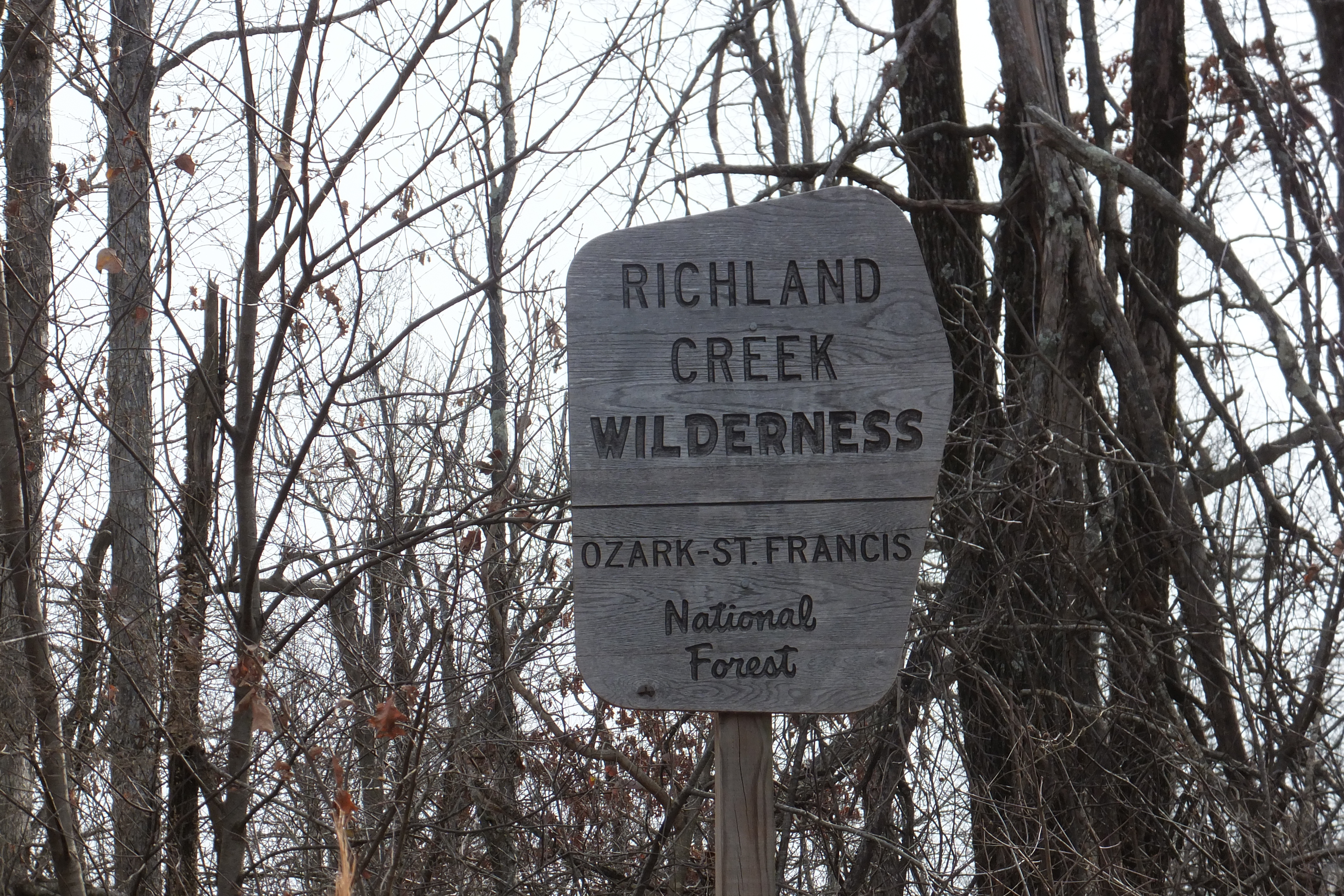
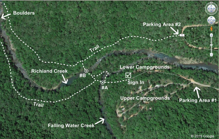
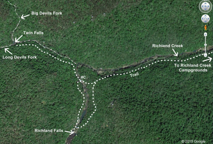
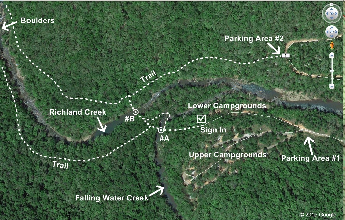
Richland Creek
Campgrounds from Parking Area #1 to Richland Falls and Twin Falls
|
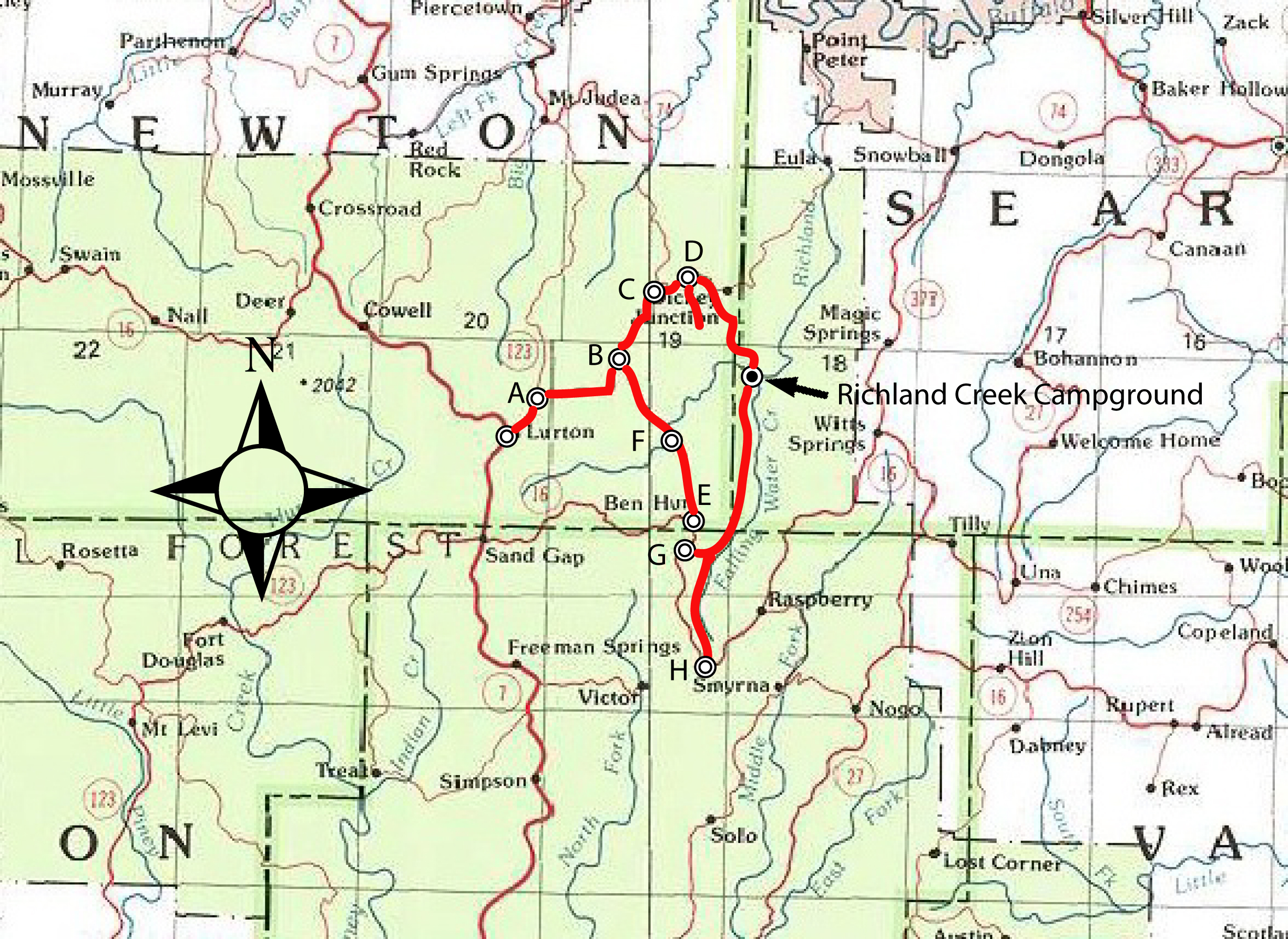
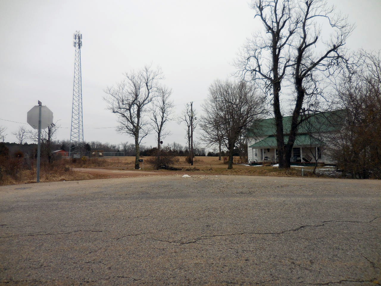
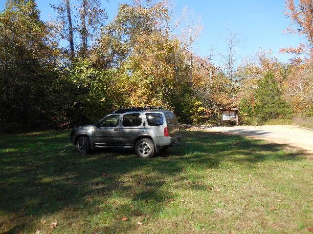
Parking Area #1
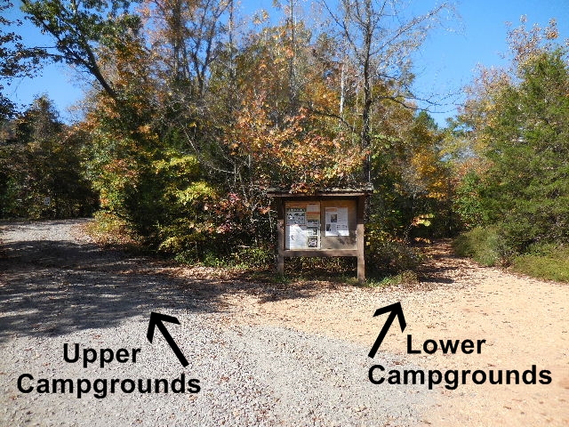
Entrance to Upper and Lower Campgrounds
35.79712°, 92.93252° |
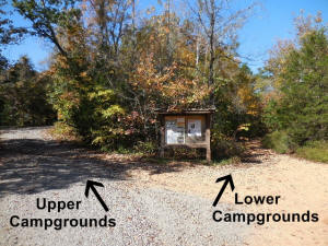
Head to Lower Campgrounds |

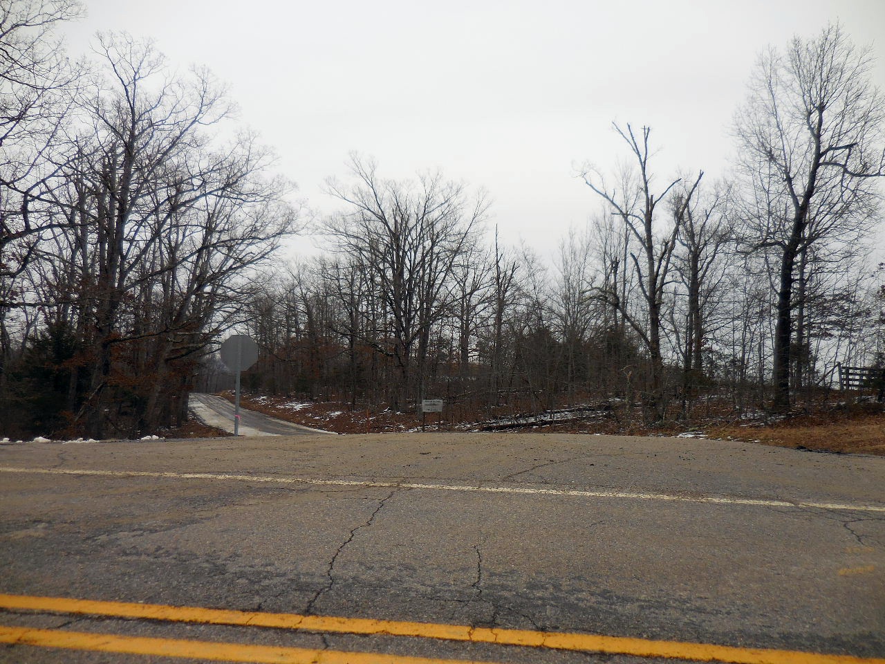
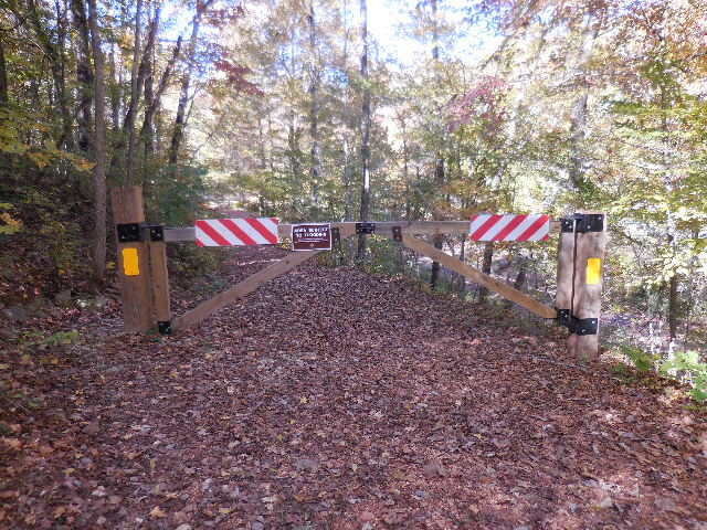
Gate to Lower Campgrounds
35.79749°, 92.93335°
(Usually closed due to potenial flooding) |
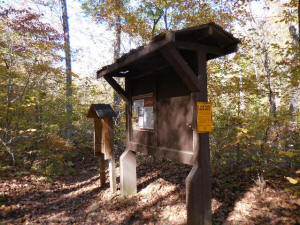
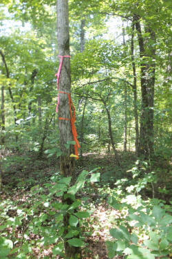
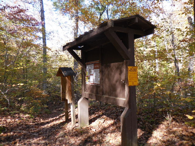
Sign In Box at West End of Lower
Campgrounds
35.79744°, 92.93506° |
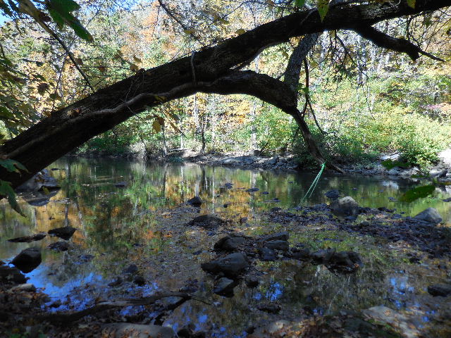
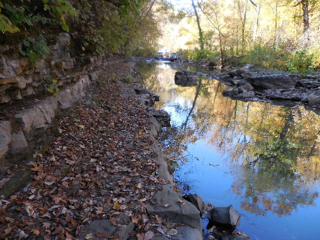
Falling Water
Creek Crossing #A
35.79728°, 92.93615°
(Depends on water levels)
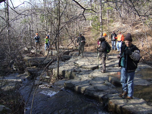
Cross where ever you can and hike up to top of
hill where you will find the trail heading west on
south side of Richland Creek.
There is also a trail on the north side of Richland
Creek. If you take this trail you will have to cross
back across Richland Creek before you get to the
access to Richland Falls. |
Richland Creek Crossing #B
35.79765°, 92.93621°
(Depends on water levels) |
_small.jpg)
(Some folks get to Crossing #A and head south along Falling Water Creek
thinking they are going down Richland Creek) |
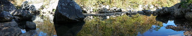
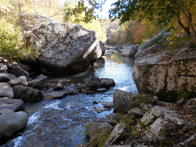
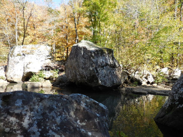
Boulders 35.79946°, 92.94024°
Note: Trail gets a little hard to find in this area! |
|
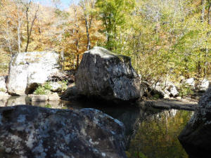
Boulders |
|

Trail on the way to Richland & Twin
Falls
(South side) |
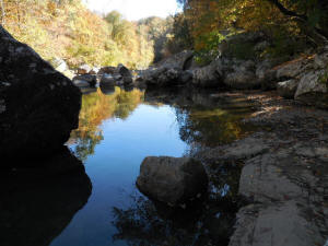
Near Richland Creek crossing
35.80398°, 92.95977° |
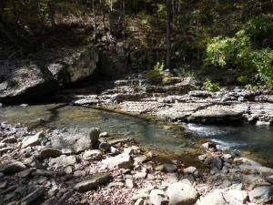
This is where you cross Richland Creek
Crossing #C 35.80417°, 92.95998° |
Crossing #C 35.80417°, 92.95998°
(Richland Creek)
_small.jpg)
|
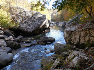
This is what Crossing #C looks like at
high water |
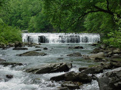
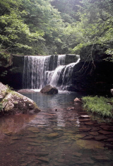
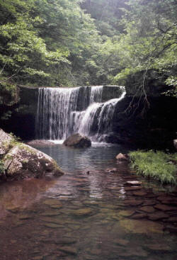
Richland Falls
35.80085°, 92.96015° |
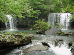
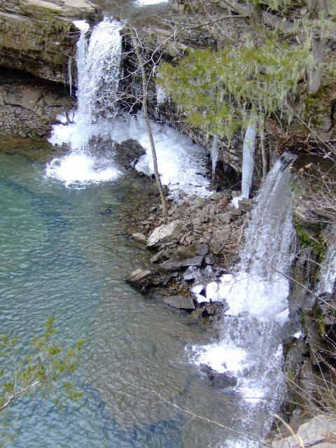
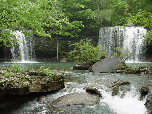
Twin Falls
35.80582°, 92.96407° |
| |
|
|
|
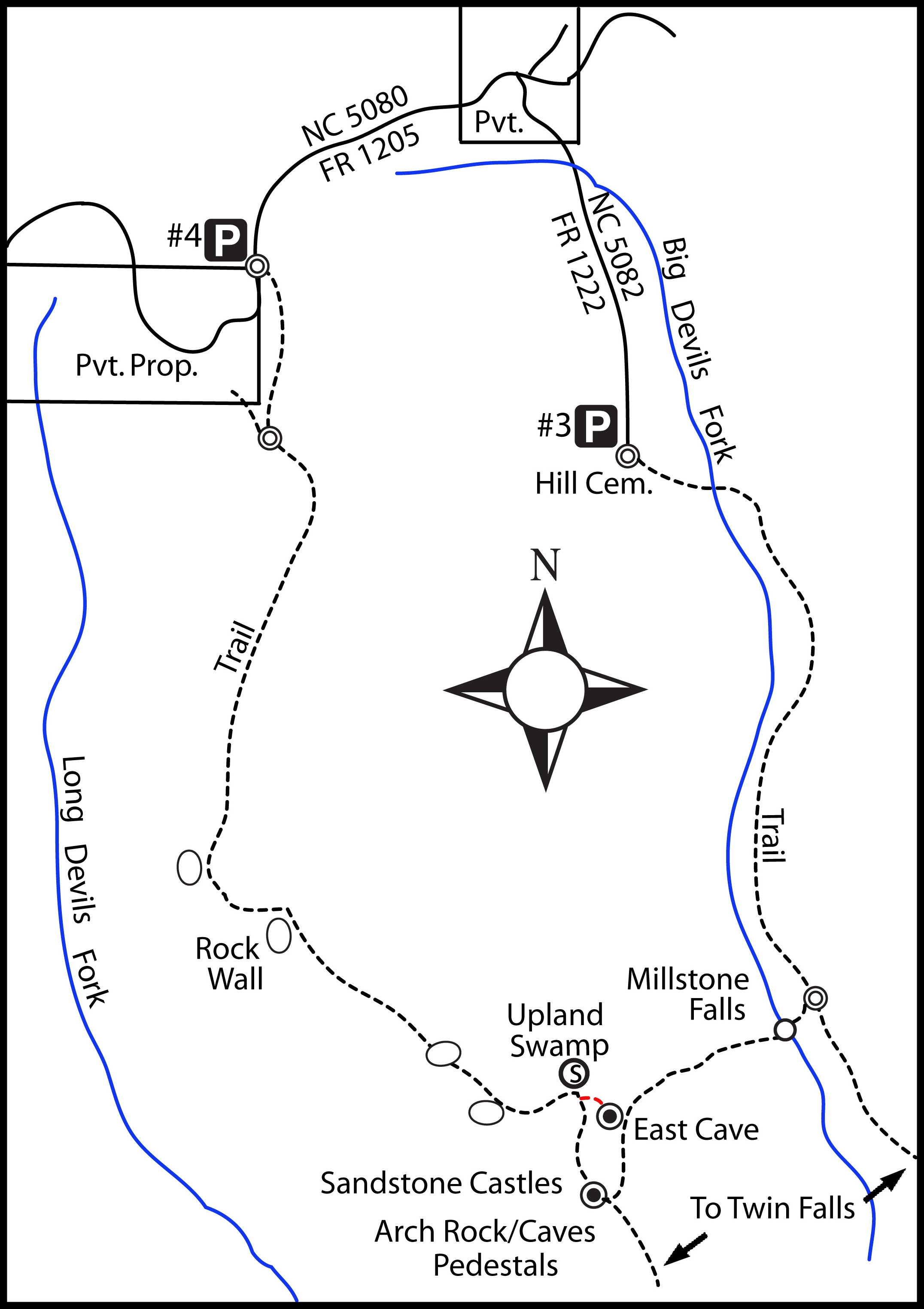
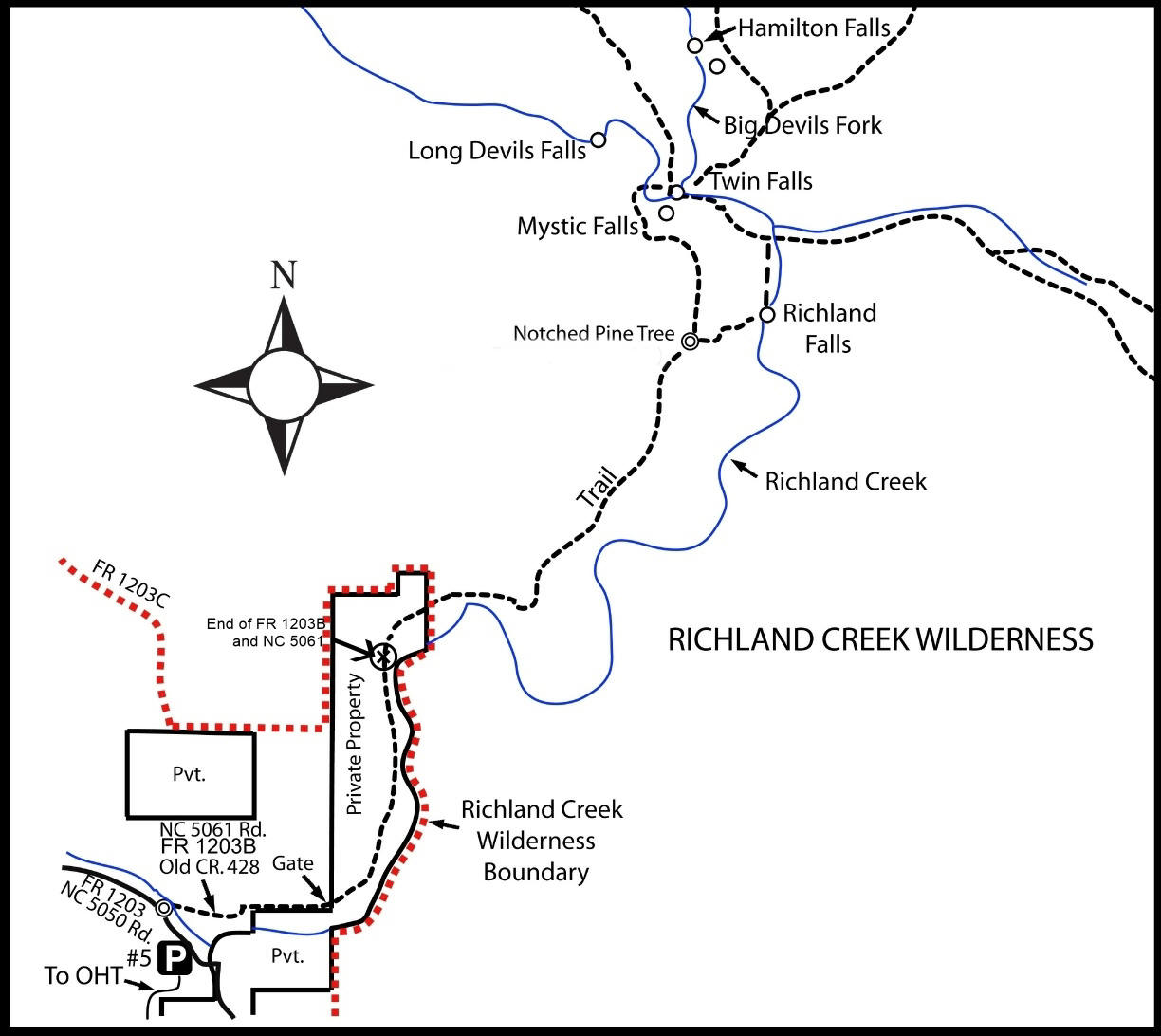
Hill Cemetery Access (Parking Area #3) to Millstone Falls, Hamilton Falls and Twin Falls
%20(3)_small.jpg) |
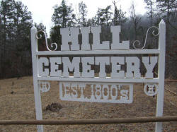
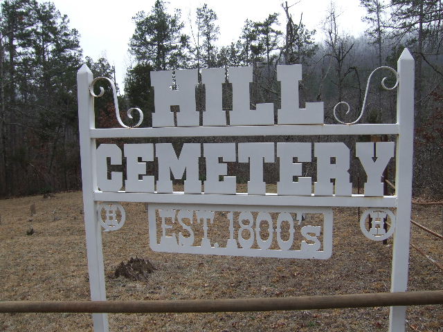
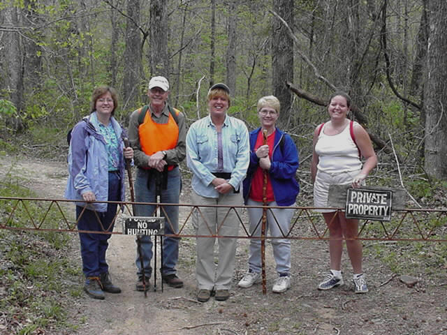
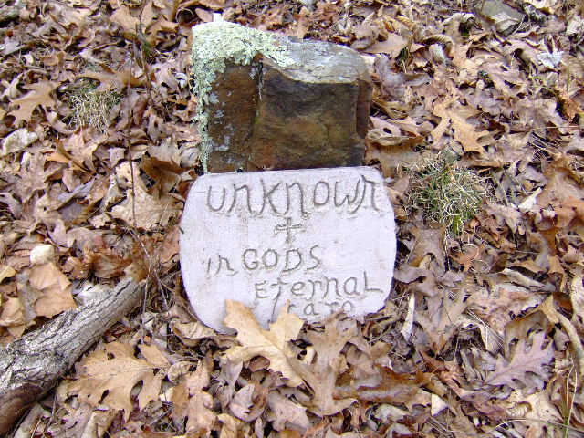
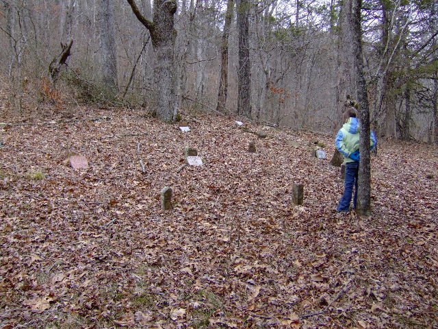
Hill Cemetery 35.83682°, 92.97213°
Parking Area #3 |

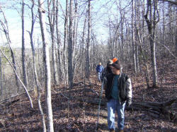
Trail heads east along north side
of cemetery fence.
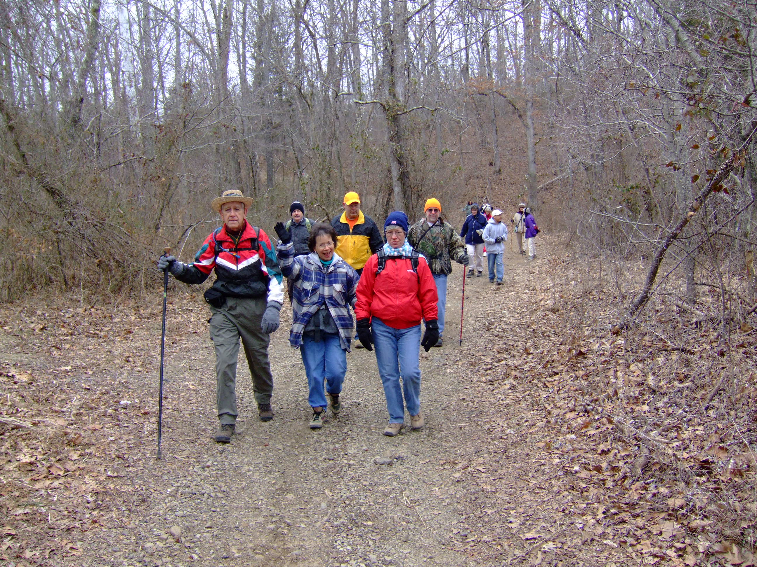
(Hikers coming out) |
Old Road Trace to Twin Falls
|
Exit here to Millstone Falls
35.82188°, 92.96595°
|

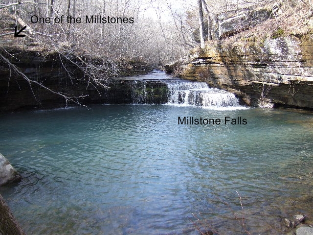
Millstone Falls
35.82120°, 92.96677° |
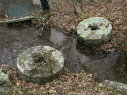
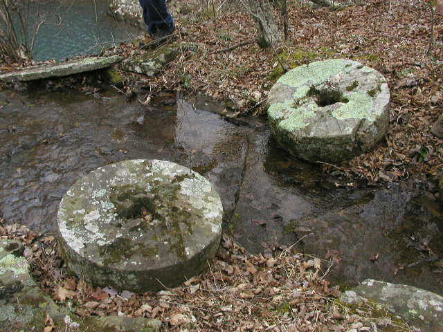
Millstones 35.82093°, 92.96683°
(Note: Both millstones are no longer in this area) |

Devon Falls
35.81723°, 92.96145° |
Hamilton Falls
35.81188°, 92.96397° |
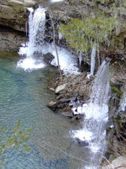
Twin Falls
35.80582°, 92.96407° |
|
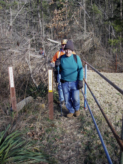
Wilderness Access from
Parking Area #4 to Sandstone Castles
|
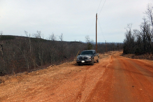
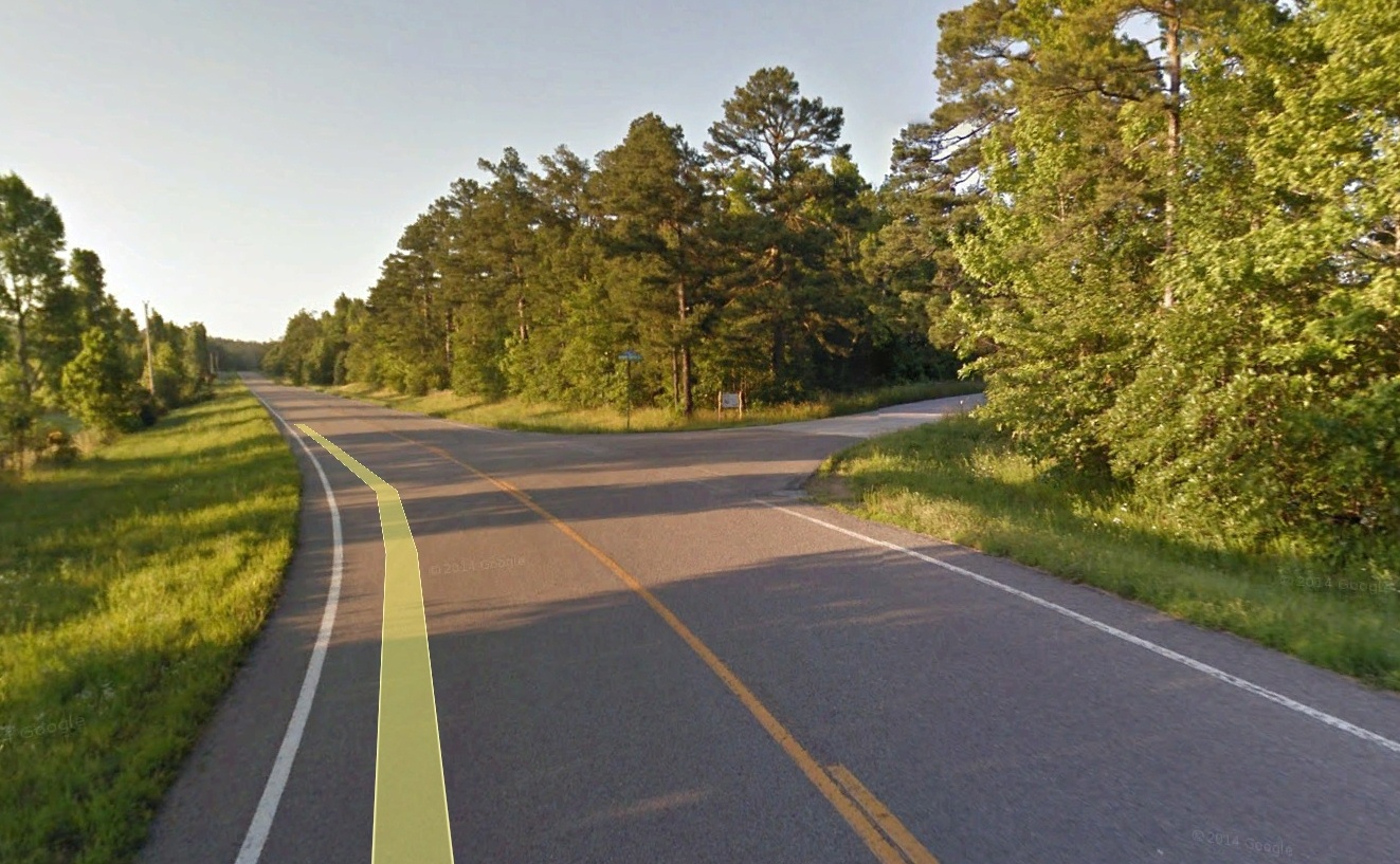
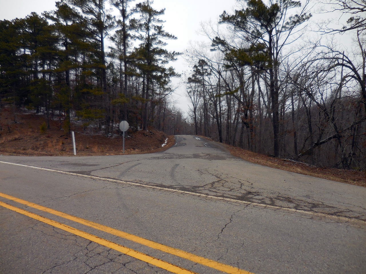
Parking Area #4 FR 1205 (NC 5080)
North End of Wilderness
35.84175°, 92.98445° |
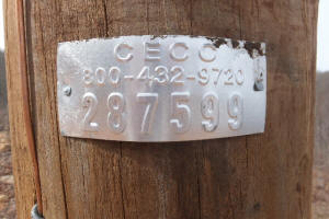
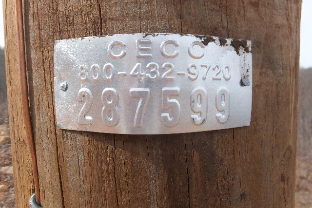
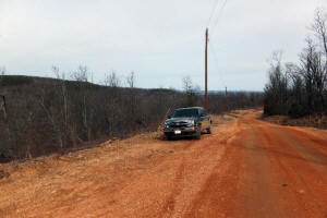
Parking Area #4
Just South of Power Pole #287599 |
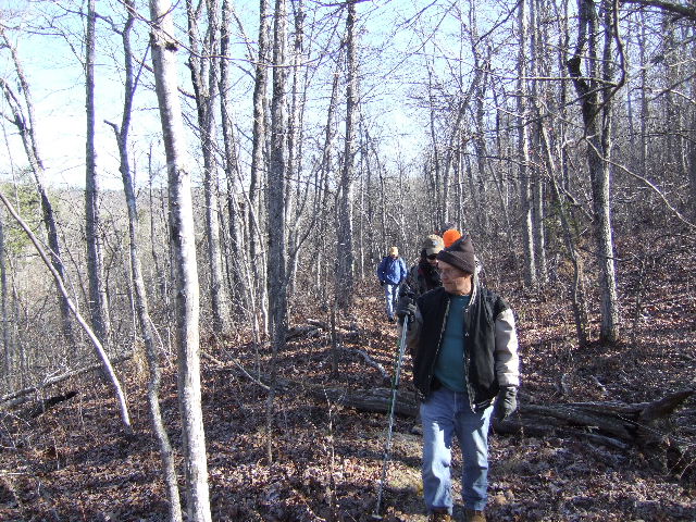
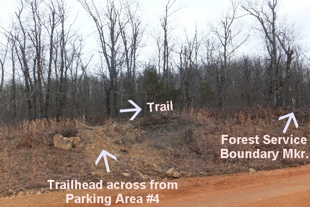
Trailhead |
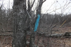
Blue Blazes will get you going
the the right direction |
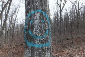
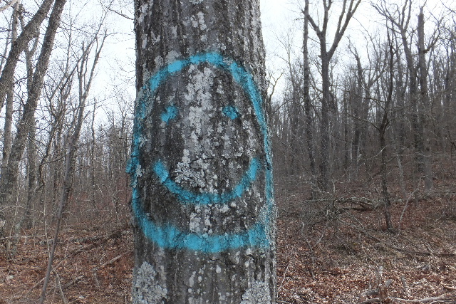
Smiley Face (Last Blue Blaze)
Start heading uphill along old road trace
(You will actually cross the
corner of private property) |
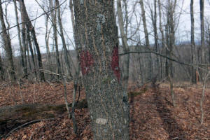
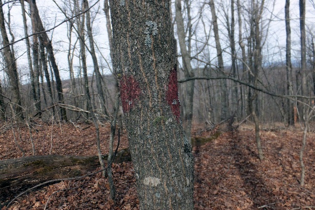
You will eventually start seeing
faint red blazes as you get towards the
top of the hill, still following old road trace. |
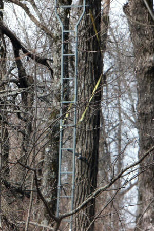
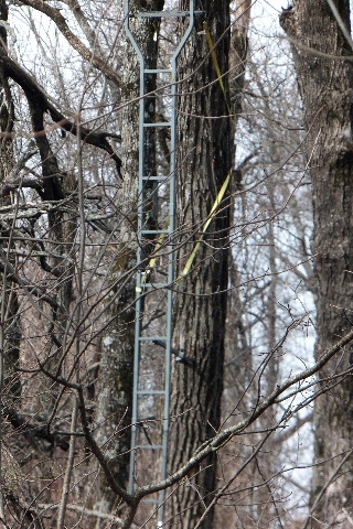
You will pass by a deer stand on
your right. (It is on private property) |
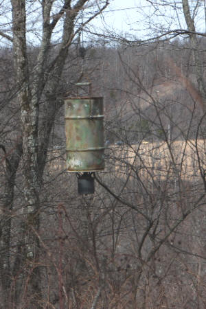
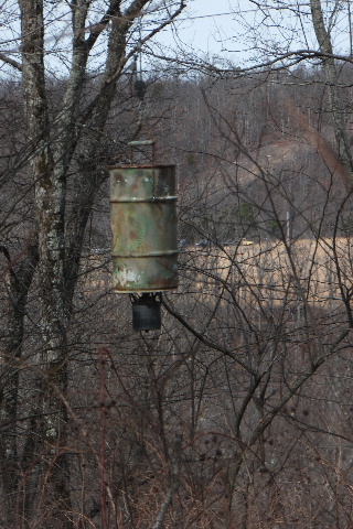
Also, passing by a deer feeder
on your right. |
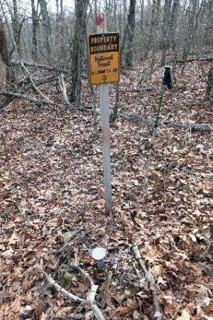
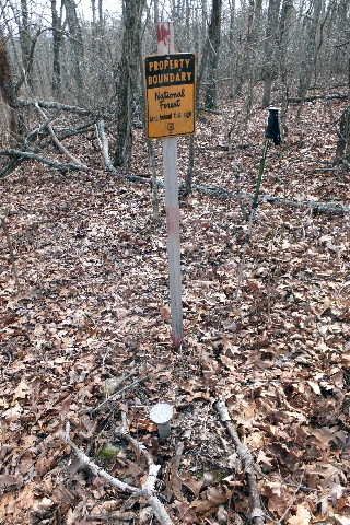
This is the SE Corner of the
private property. It will also be on your
right.
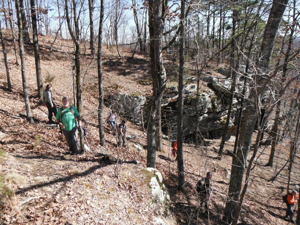
The old road trace and trail begins to get a
little hard to follow at this point. |
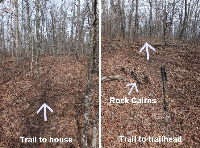
Intersection of trail
35.83717°, 92.98428° |
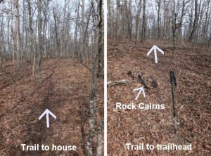
Intersection looking south |
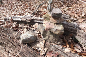
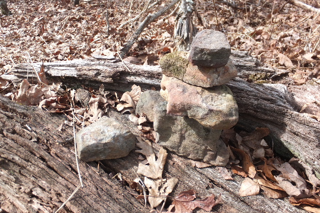
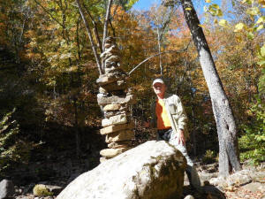
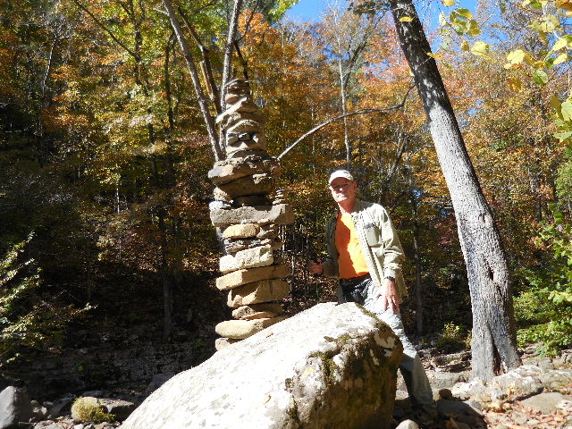
Rock Cairns at Intersection |
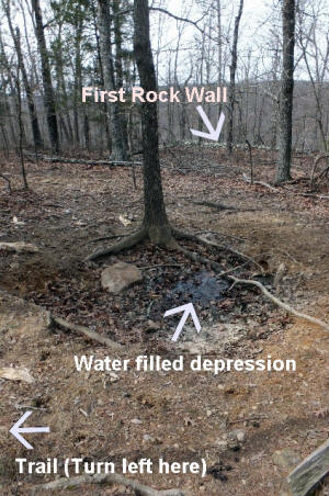
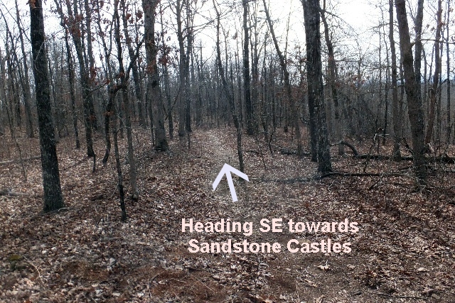
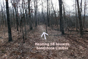
Trail turns SE here.
35.82512°, 92.98618° |
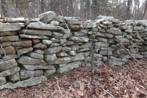
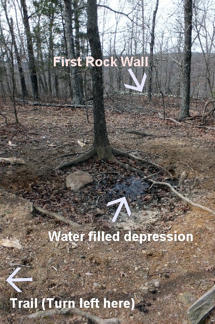
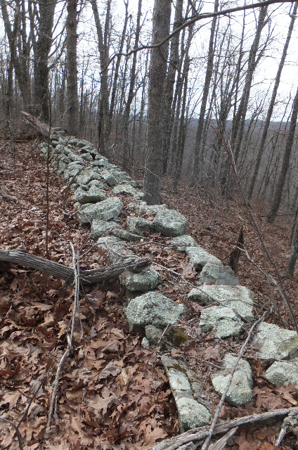
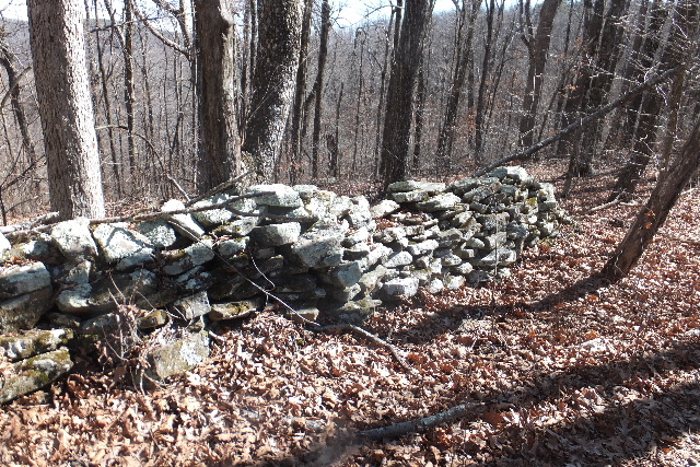
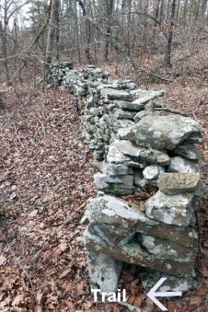
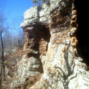
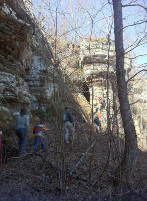
First Rock Wall
35.82508°, 92.98645° |

First Rock Wall |
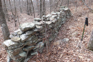
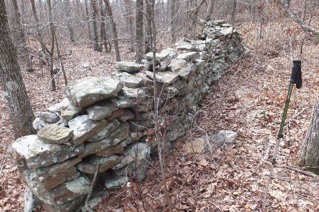
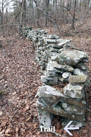
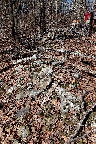
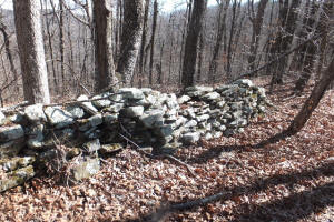
Second Rock Wall
35.82423°, 92.98432° |
Trail passing by north end of
Second Rock Wall |
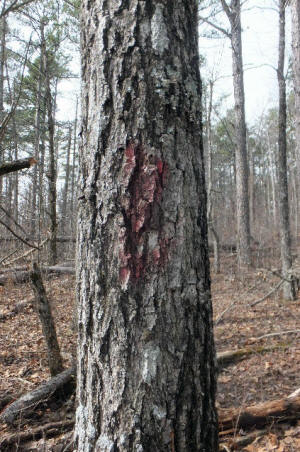
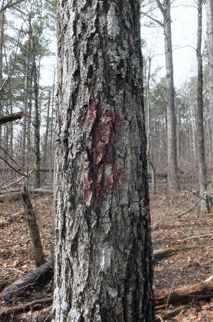
Typical Faint Red Blaze |
Third Rock Wall
35.82030°, 92.97832° |
Fourth Rock Wall
35.81952°, 92.97675° |
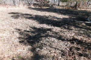
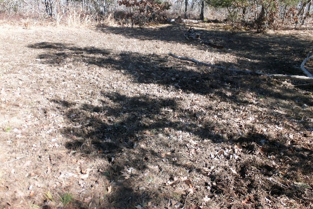
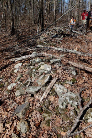
Upland Swamp (Dry)
35.81926°,
92.97454° |

Access down
35.81663°, 92.97318° |

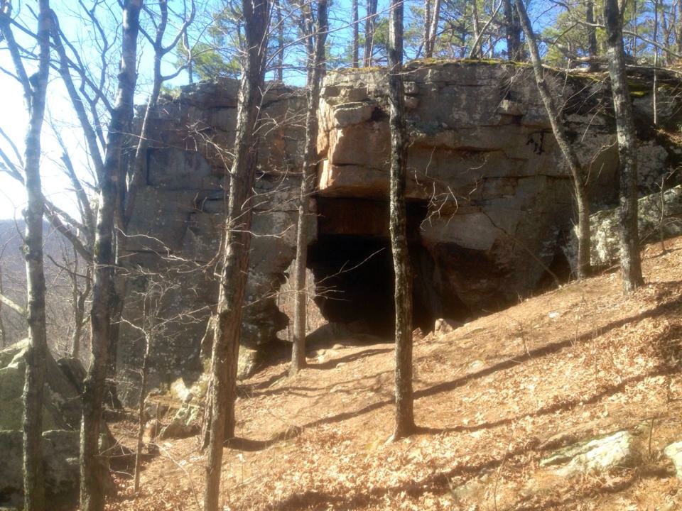
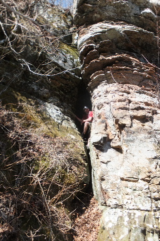
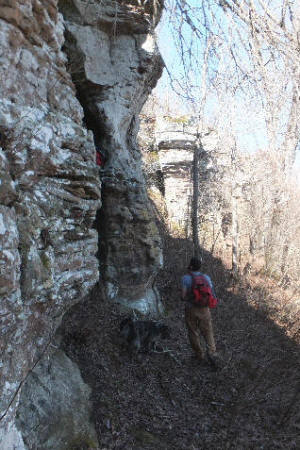
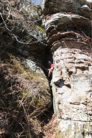
The Arch Rock
(aka Sandstone Castle)
35.81648°, 92.97320° |

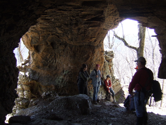
Inside The Arch Rock |
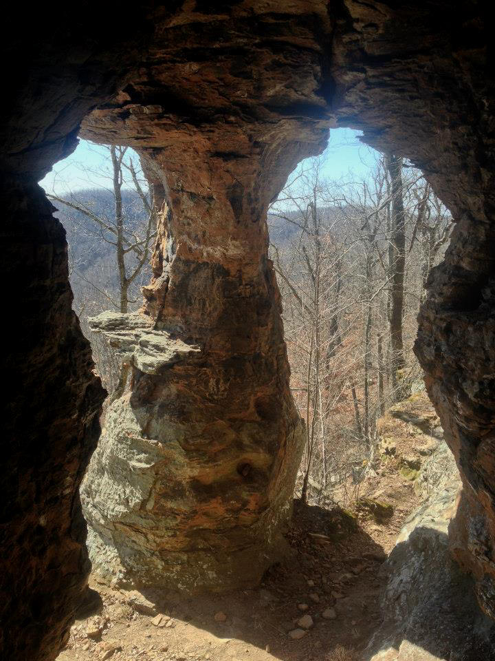
The Pedestal
(West of The Arch Rock) |

Inside The Pedestal
(aka Sandstone Castle) |
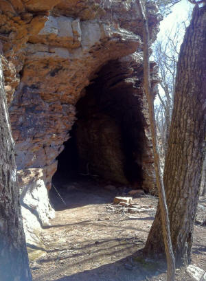
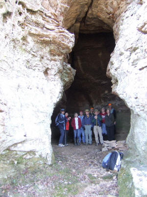
The Big Room Cave
(East of The Arch Rock) |
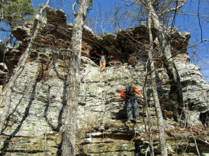
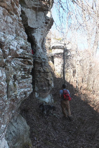
The Climbing Rock and Upper Cave
(East of The Big Room Cave on way
to Sandstone Castle) |
On around to the Sandstone Castle
(There are a lot of briars, etc. on around from
The Climbing Rock, make your way through
them hiking along the bluff line and eventually it
will open up just before the Sandstone Castle) |
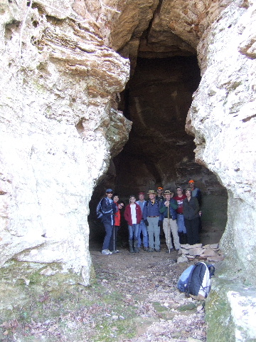
Approaching the Sandstone Castle |
South side upper entrance to Sandstone
Castle |
Front entrance to Sandstone Castle
35.81865°, 92.97342° |
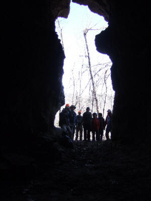
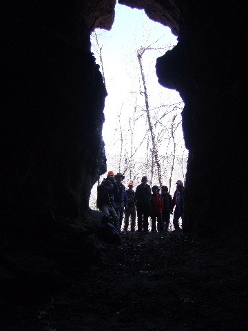
Inside looking out of Sandstone Castle |
|
|
|
|
.jpg)
.jpg)


.jpg)


%20(3).jpg)