.jpg)
| TAKAHIK River Valley Hikers |
| Home Scheduled Hikes Pictures Videos Membership Links Trails & Waterfalls Products In Memory Of Scholarships |
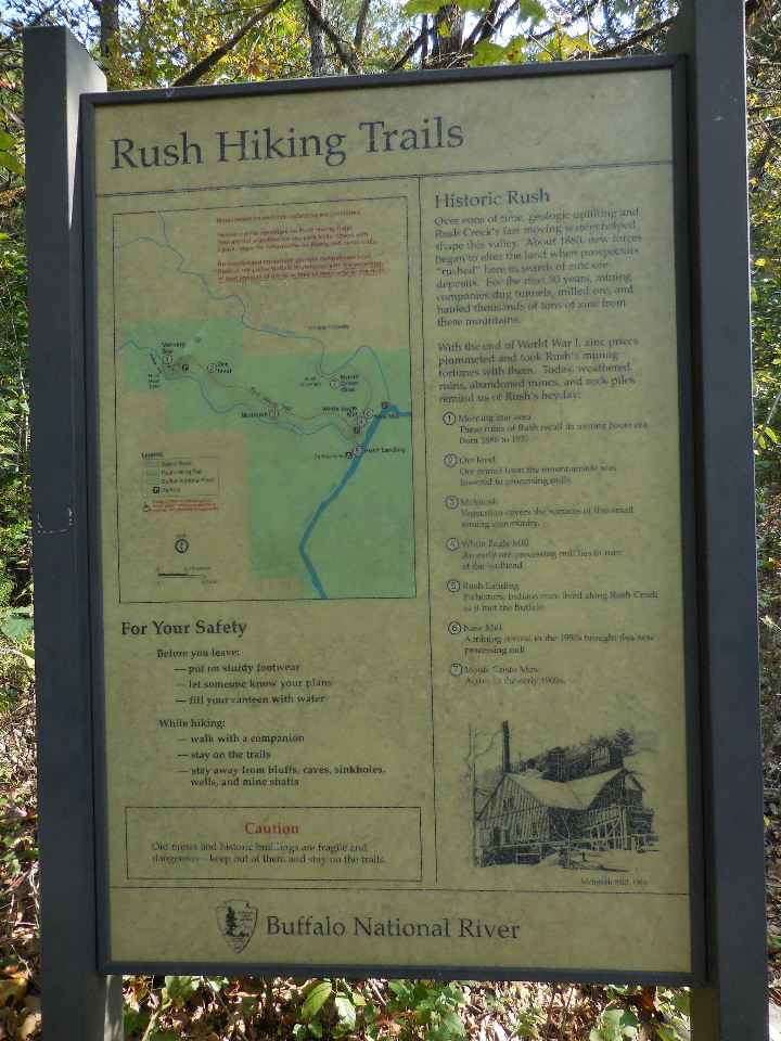
| RUSH HISTORIC DISTRICT |
|
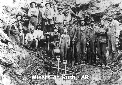
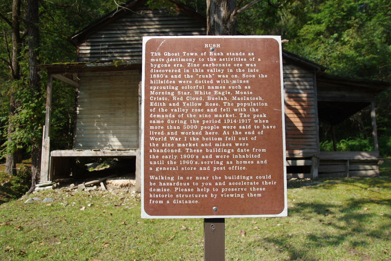
In the 1880s farmers on Rush Creek discovered zinc ore,
and soon the "rush" to Rush began. Claims were staked out along
the Rush Valley and that of neighboring Clabber Creek. By the
1890s the mining boom was well established and miners and investors
arrived from all over the country. The most famous mine at Rush
was the "Morning Star," which awed observers with its quarry-like
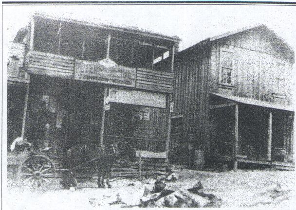
production of ore. Around the Morning Star Mine, a community of
homes and businessess developed. This community endured until the
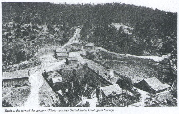
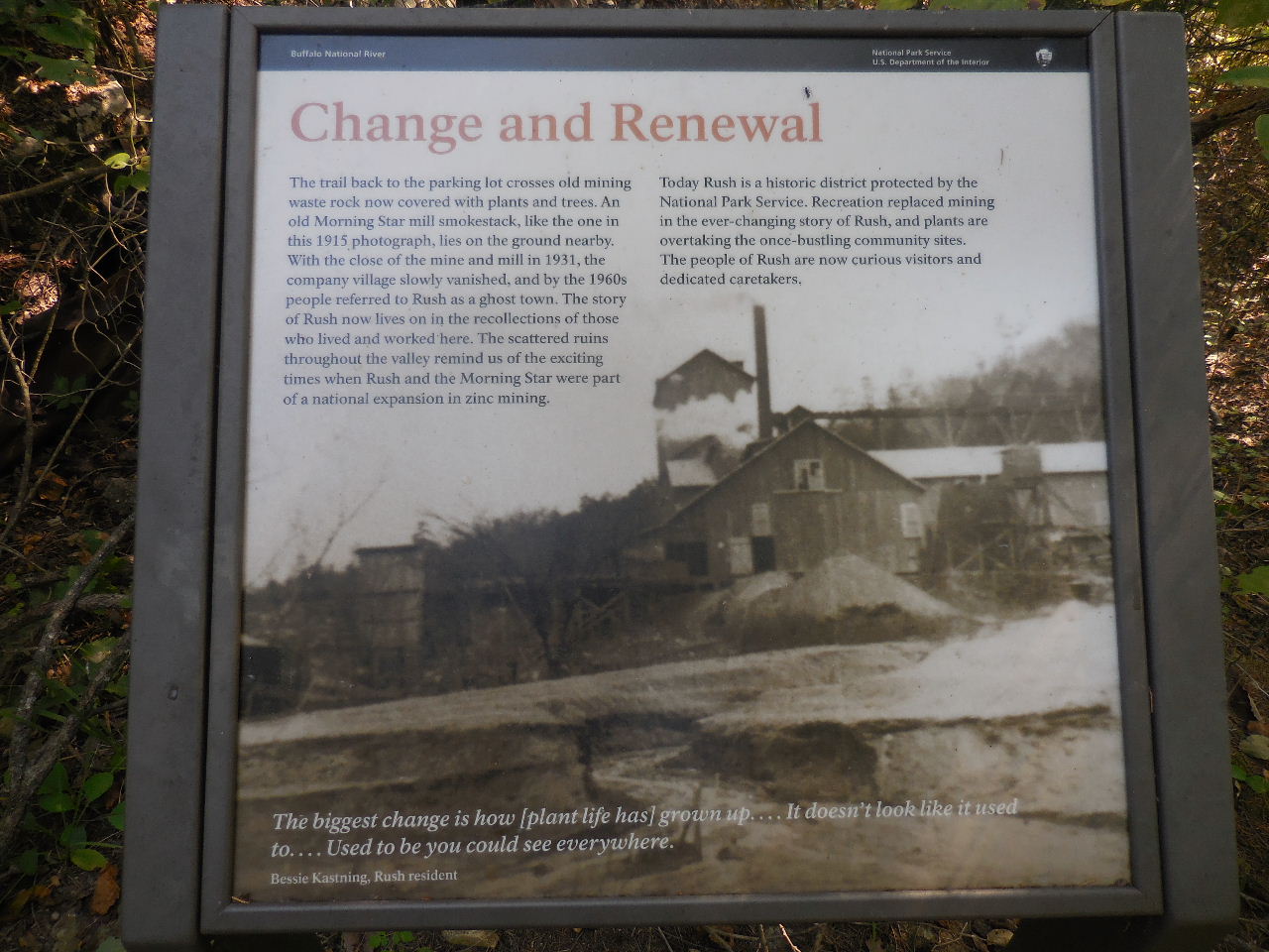
1960s. The heyday of the mining district came during World War I. All of the mines were in full operation, producing zinc for the war effort. As the war wound down, so did the mining. Soon the valley seemed a ghost town in comparison to the busy years of several thousand inhabitants. A mining revival in the 1920s was short-lived, but free-oreing supported local miners until World War II. During the 1940s several of the processing mills were dismantled for salvage. Until the closing of the post office in the 1950s, Rush maintained a community identity. Gradually, the remaining inhabitants left, until Rush became known as a ghost town. Today the Rush mining district is part of the Buffalo National River. Rush is entered on the National Register of Historic Places as a significant site in history of mining in northern Arkansas. |
 |
 |
 |
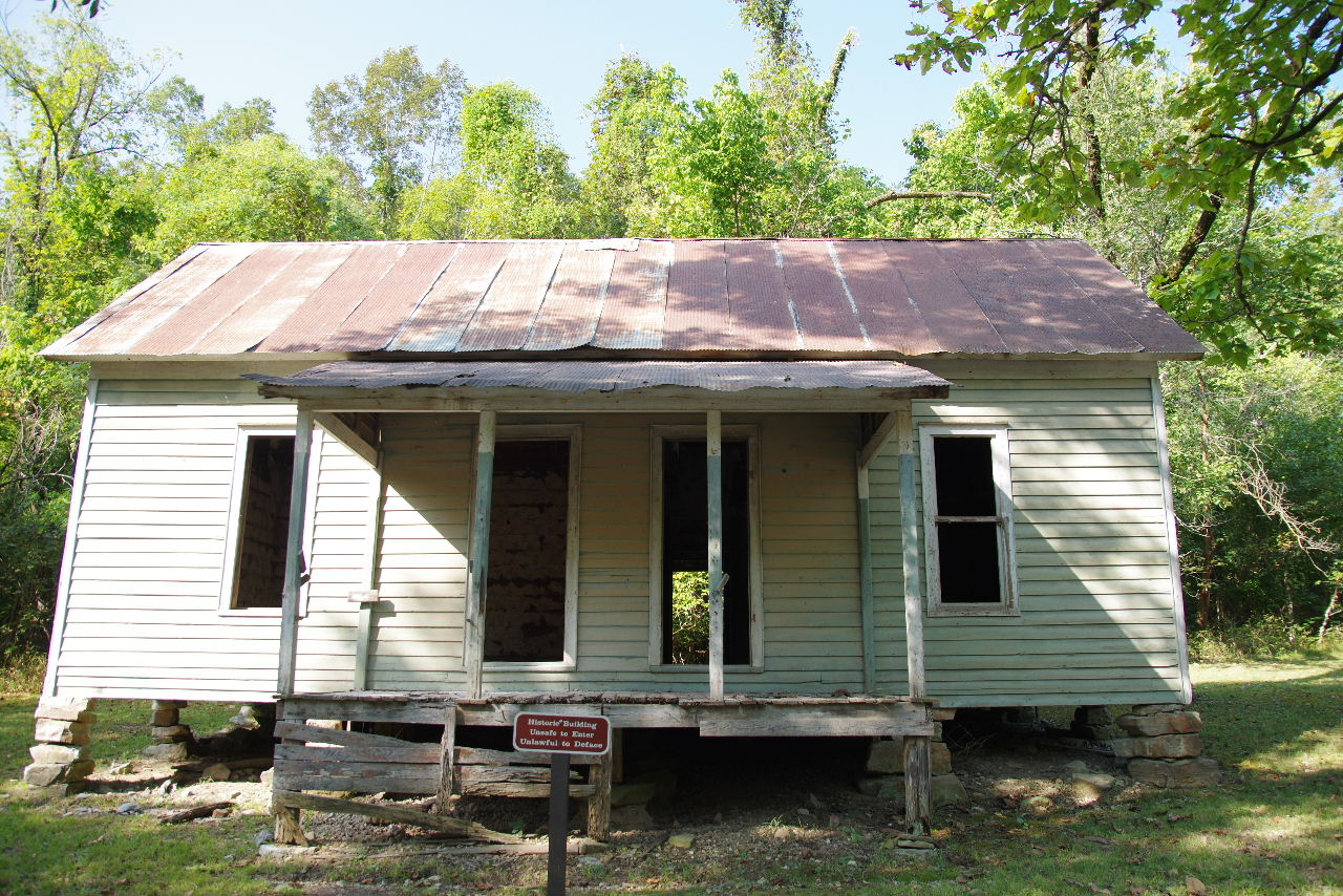 Miners House "A" |
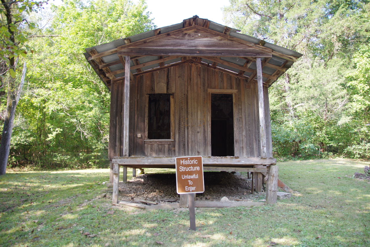 Miners House "A" 36.13306°, 92.57115° |
 Miners House "A" |
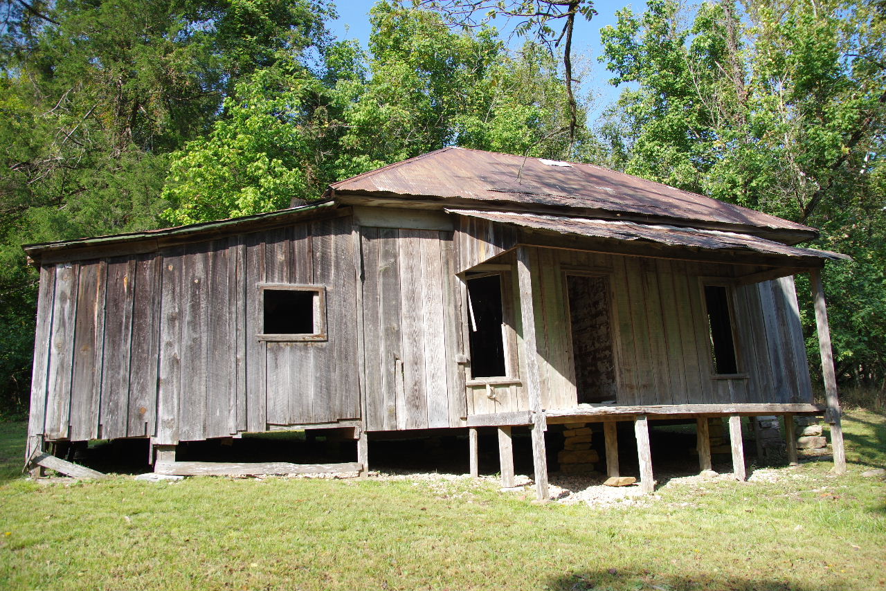
 Sign in front of Miners House "B" |
 Miners House "B" 36.13218°, 92.57060° |
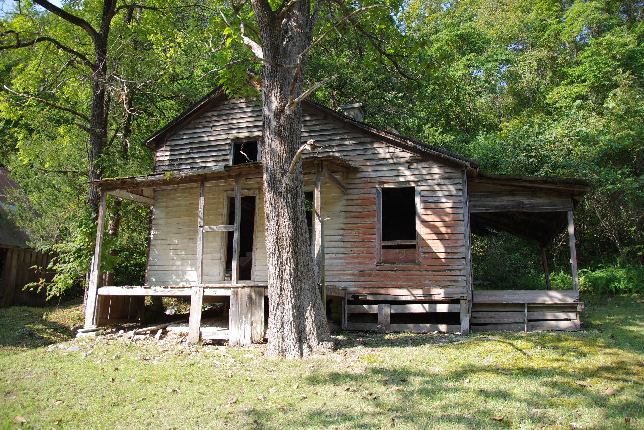
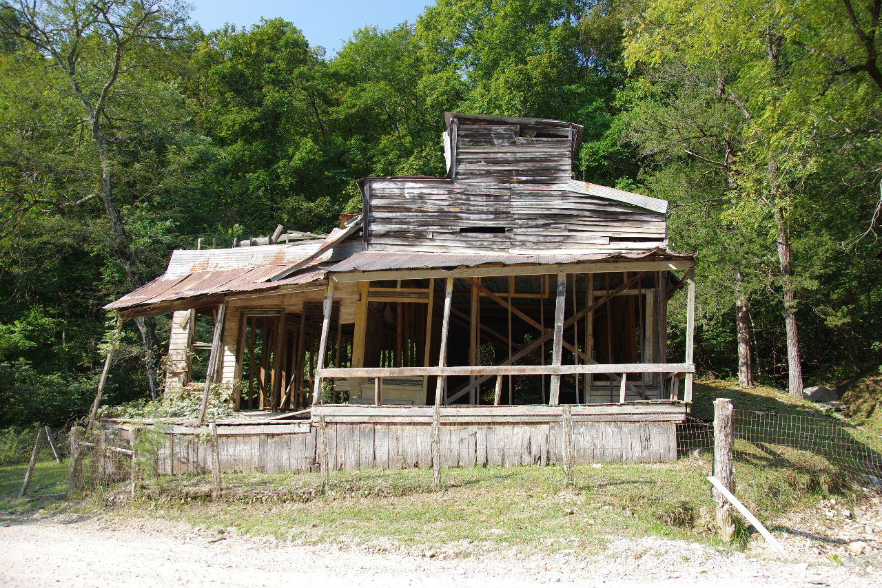 Taylor-Medley Store "B" |
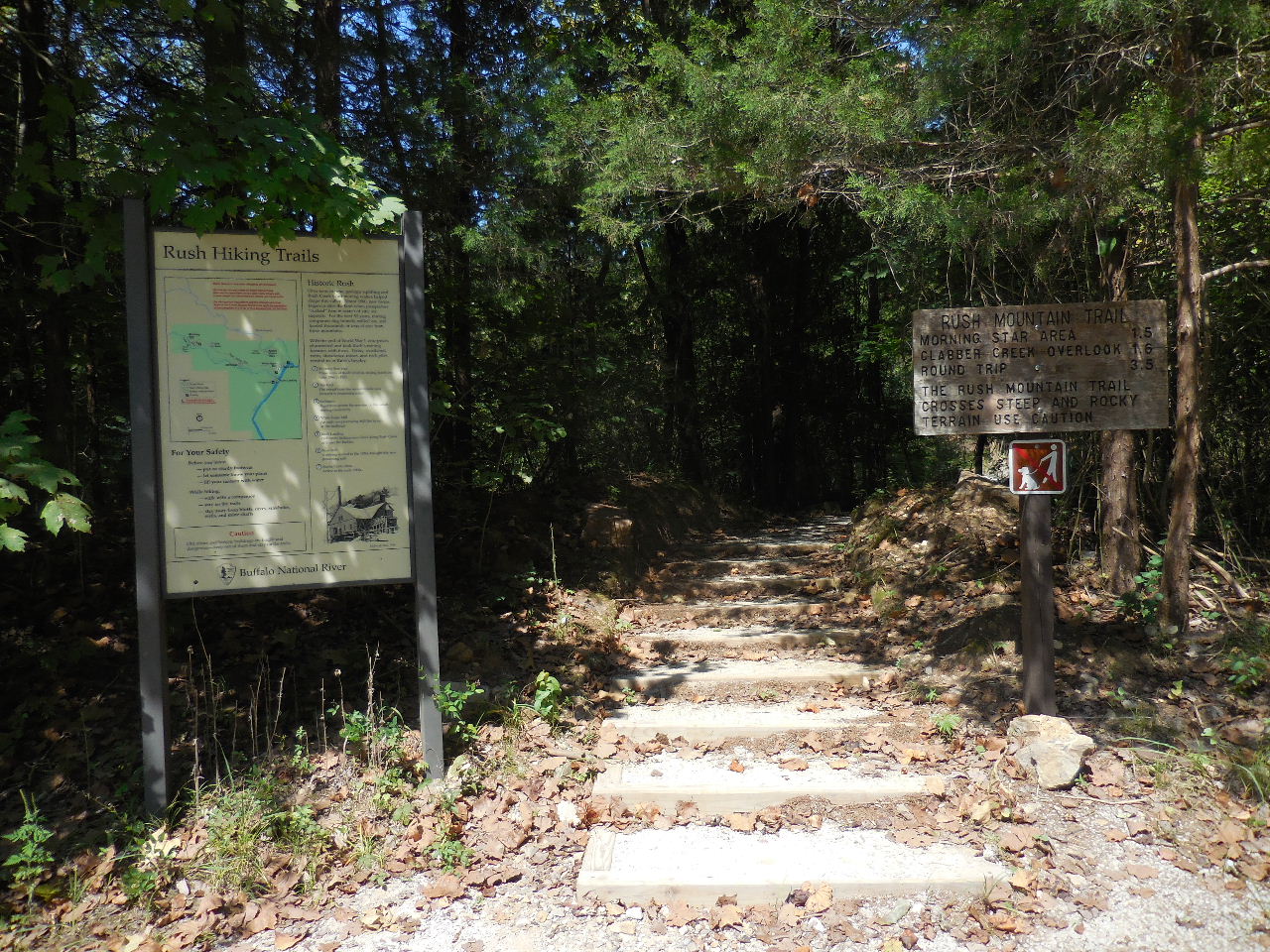
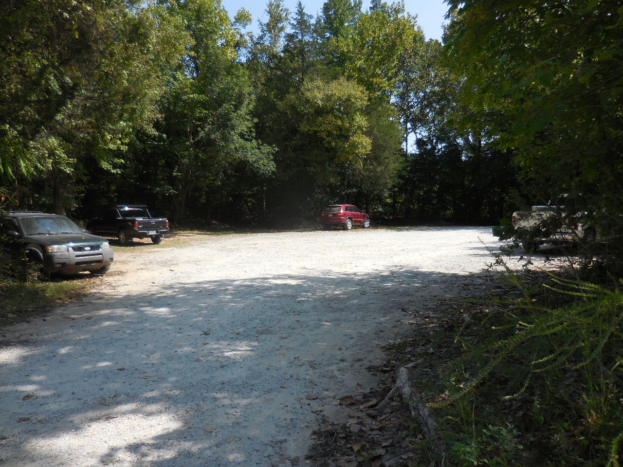
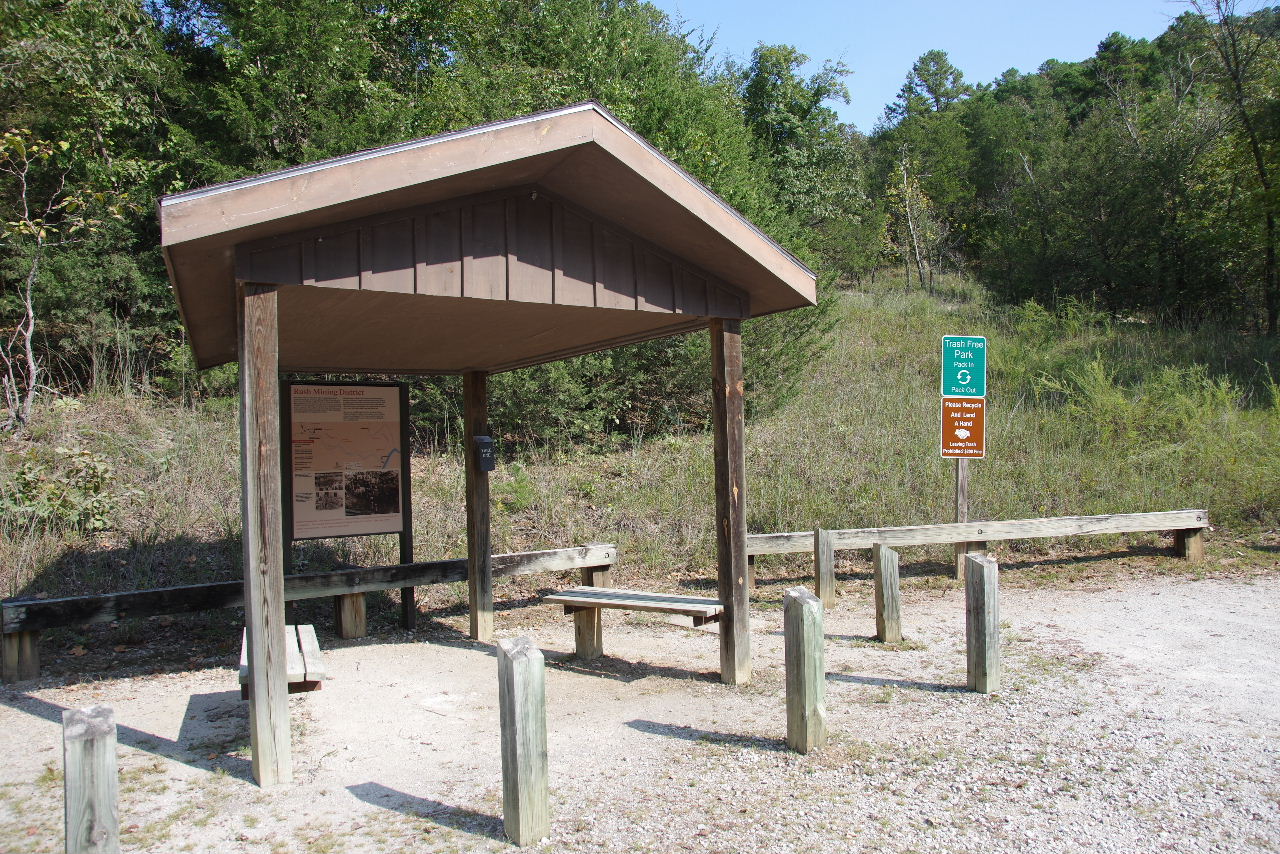 Parking Area #1 and Trailhead 36.13152°, 92.56815° |
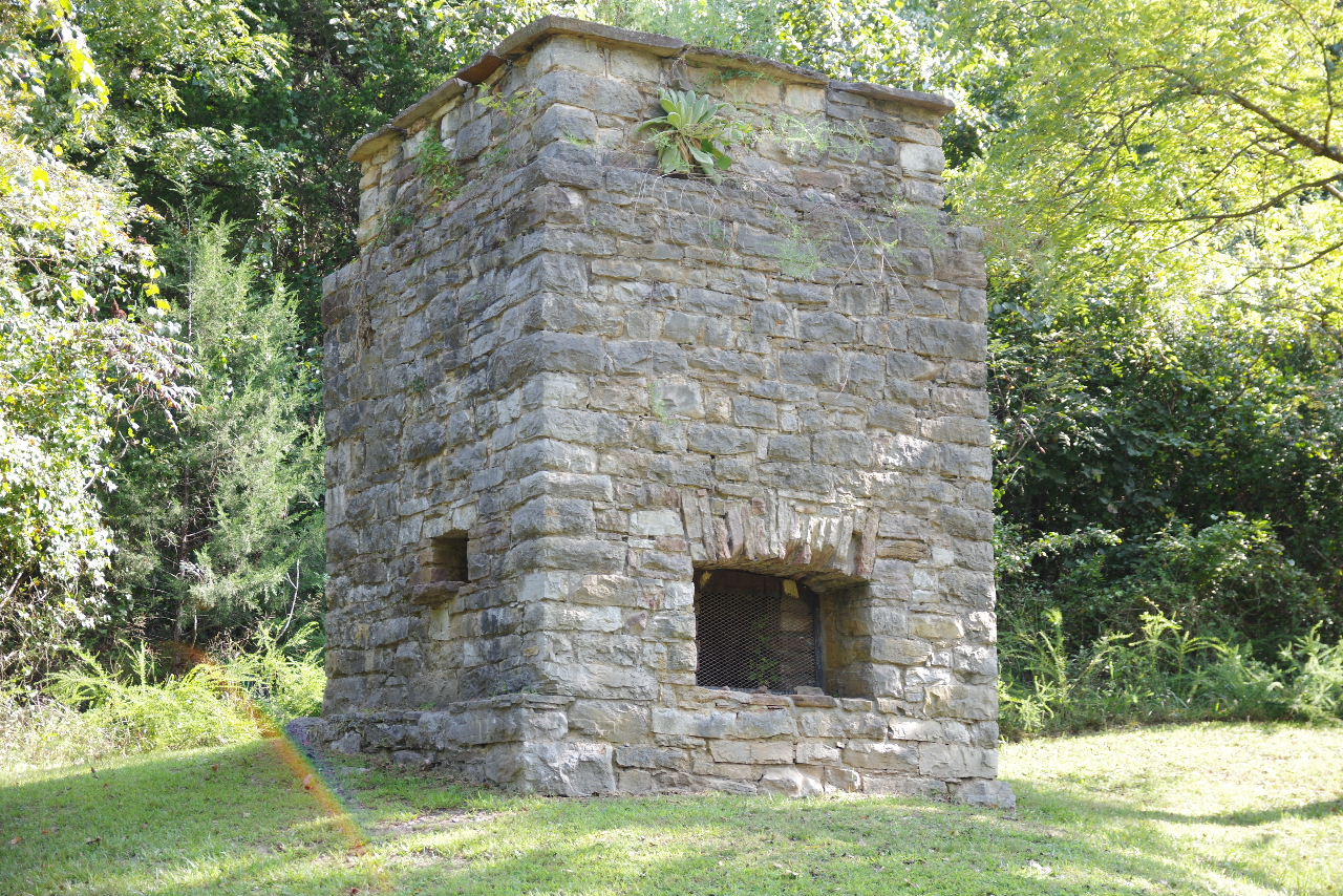 "C" Smelter 36.13161°, 92.56932° |
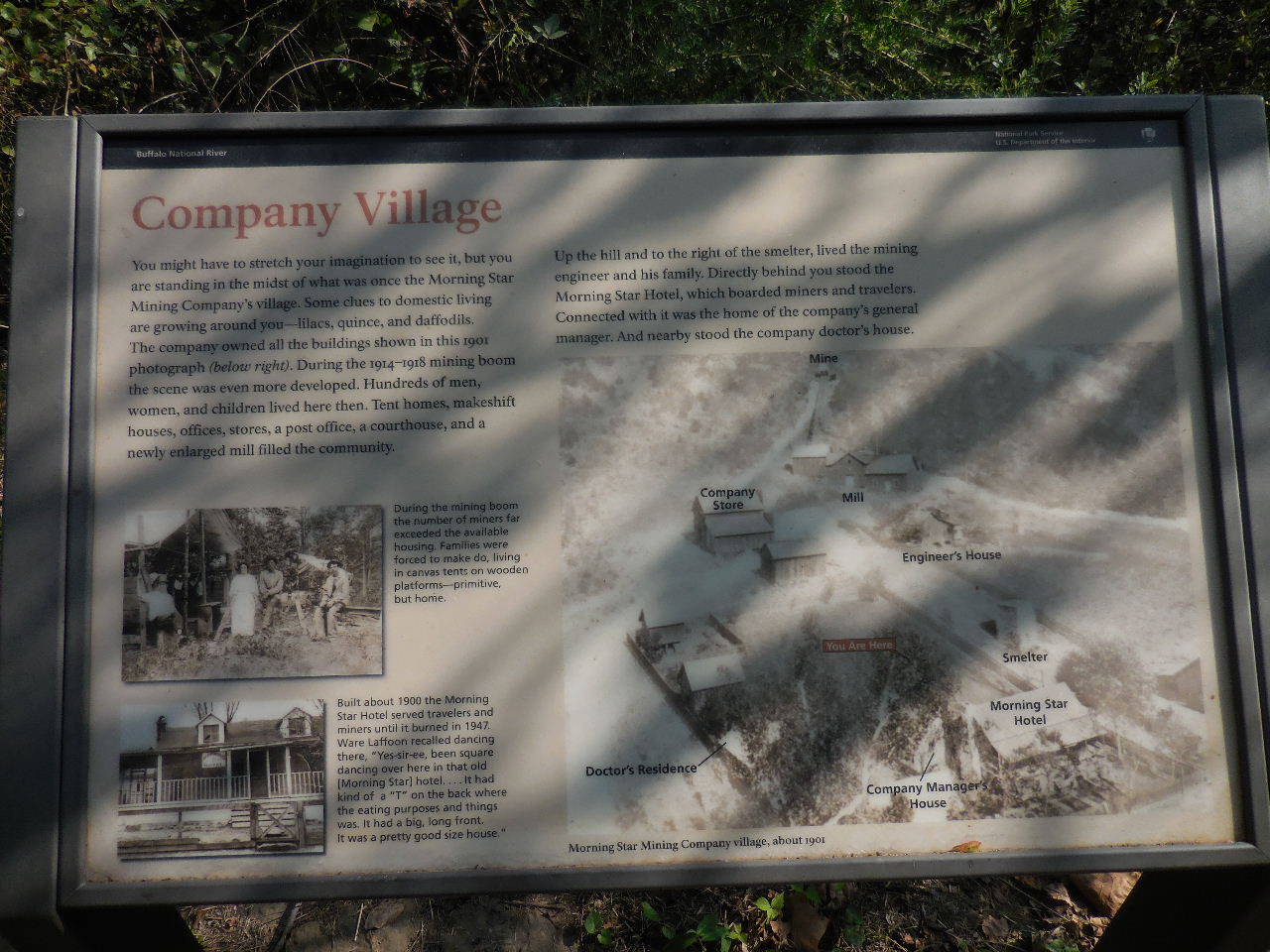 "D" Company Village |
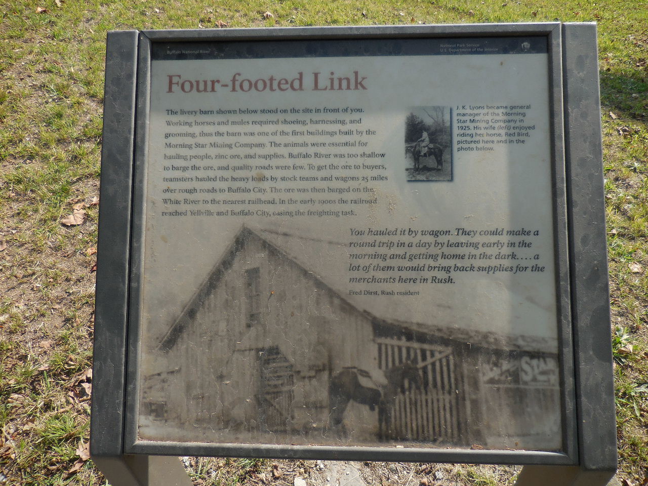 "D" Livery Barn |
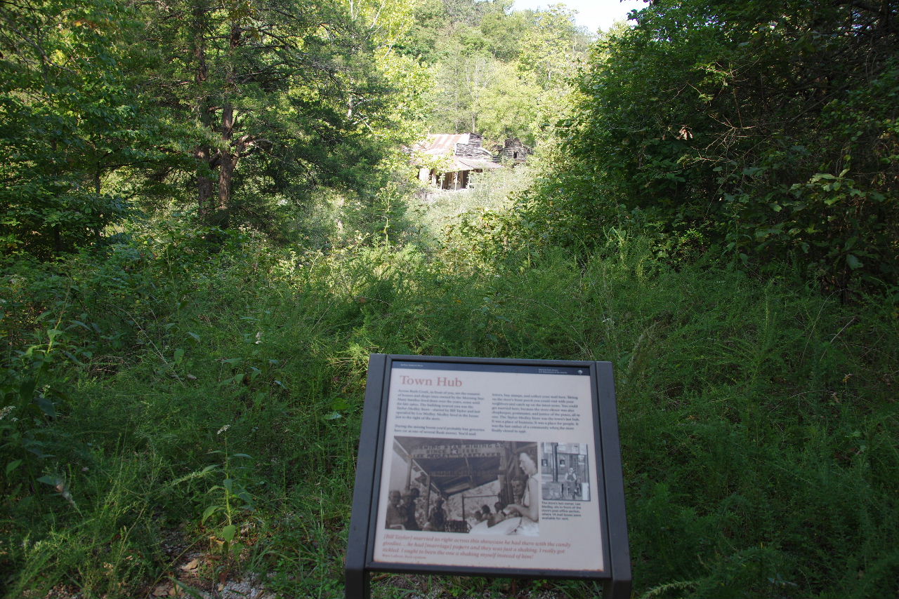 "E" Town Hub |
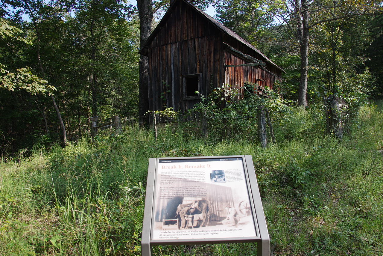 "F" Blacksmith Shop 36.13223°, 92.56915° |
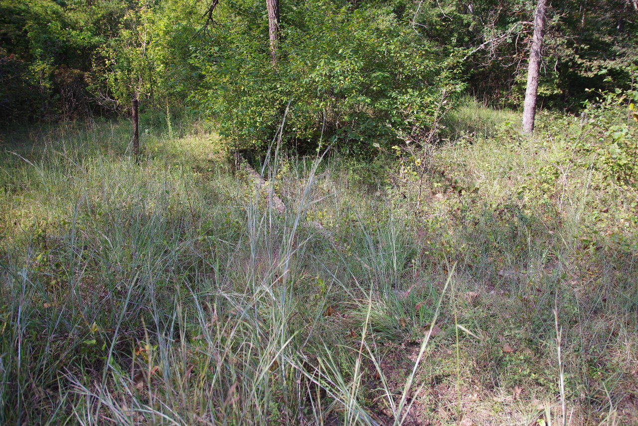
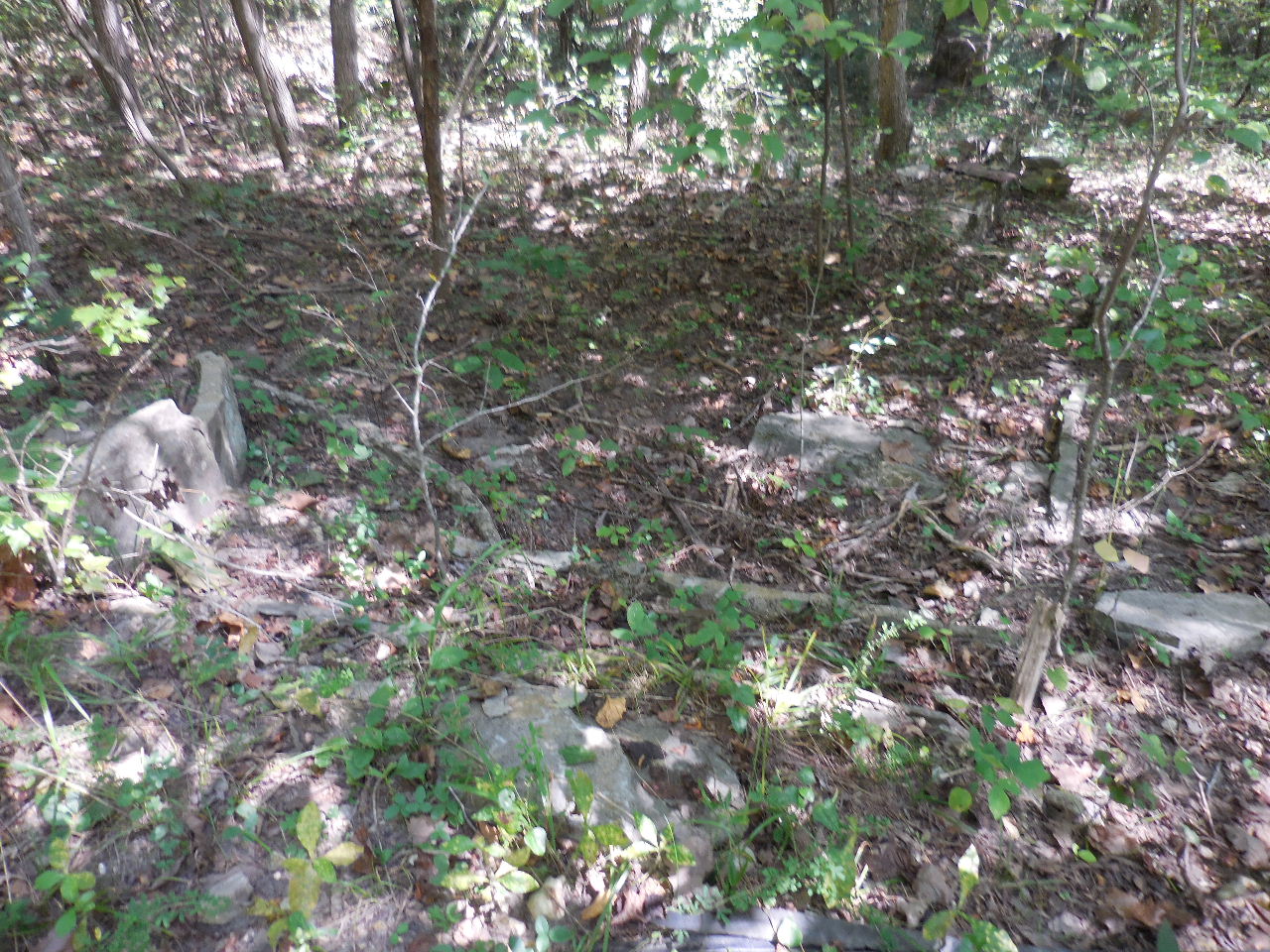
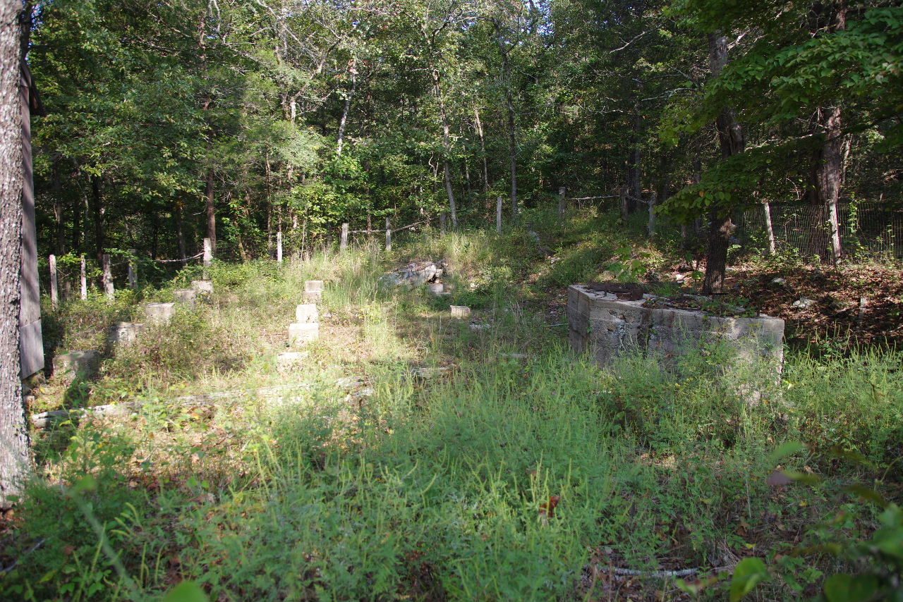 Foundation next to Blacksmith Shop |
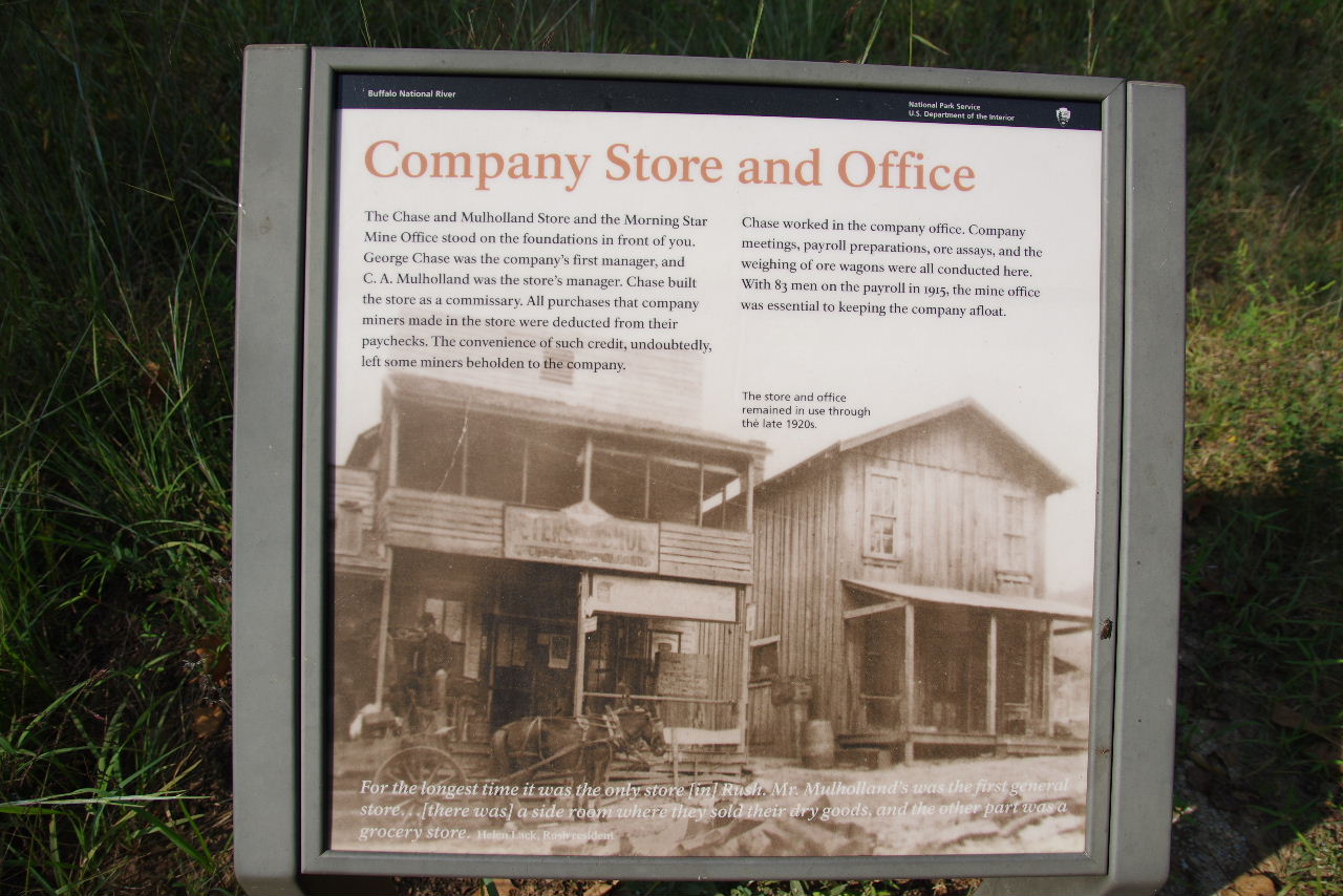 "G" Company Store and Mining Office 36.13216°, 92.56901° |
 "G" One of the foundations |
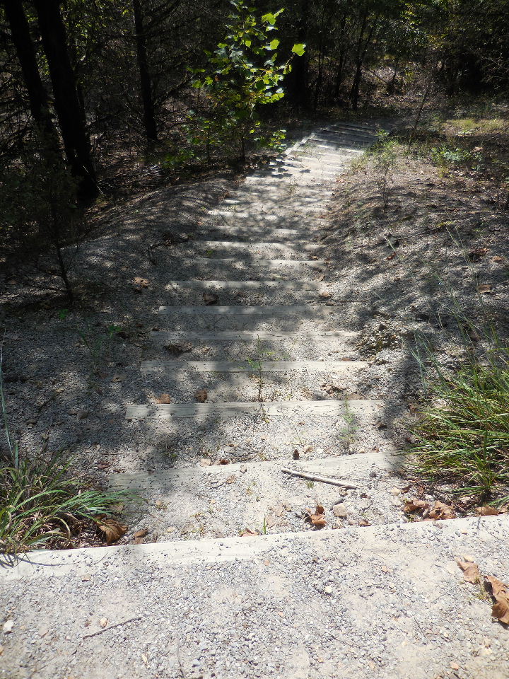
 "H" Rush Mountain Trail Access 36.13218°, 92.56879° |
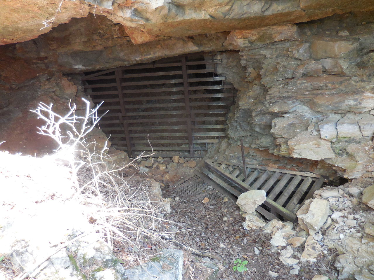
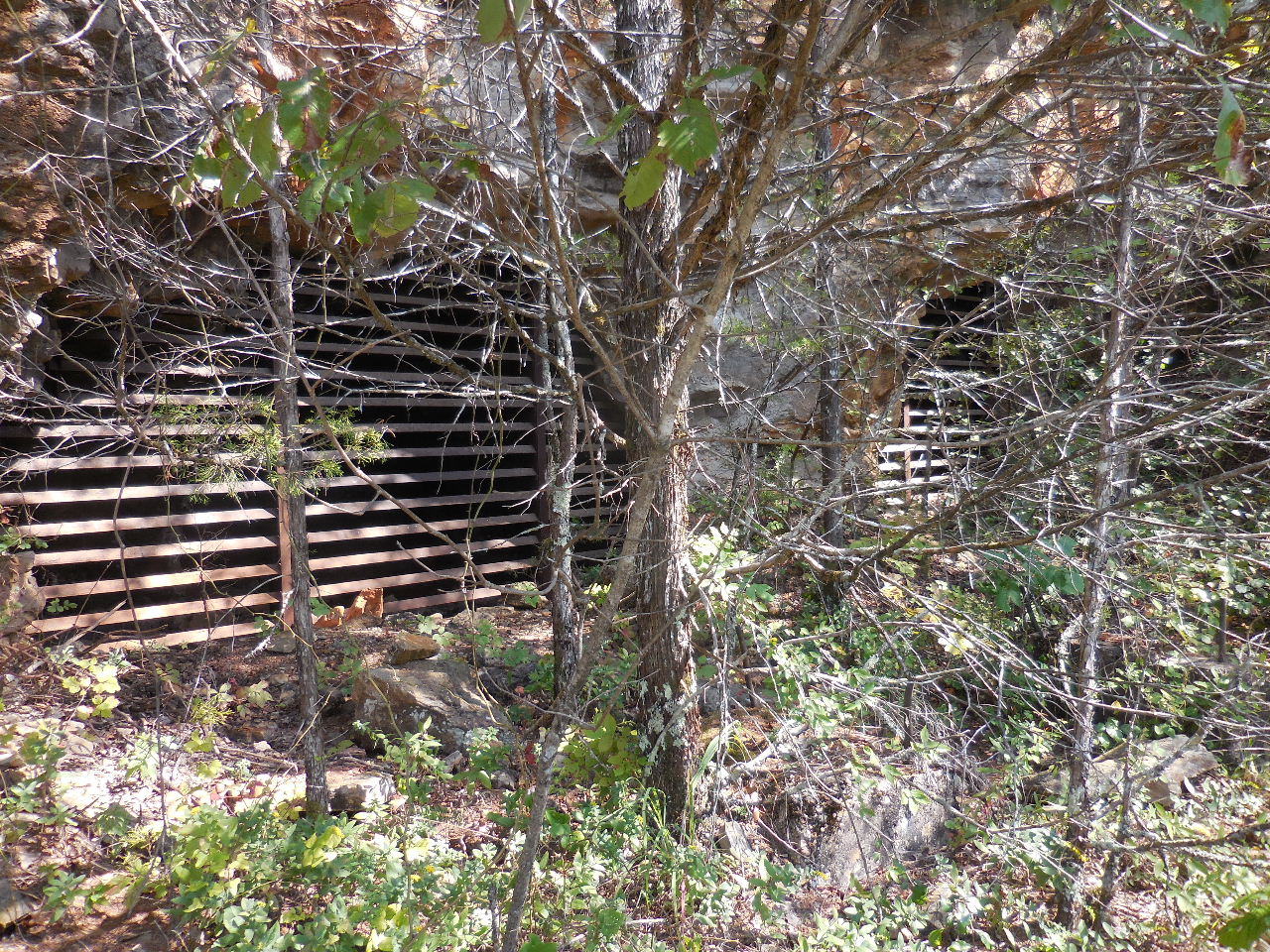
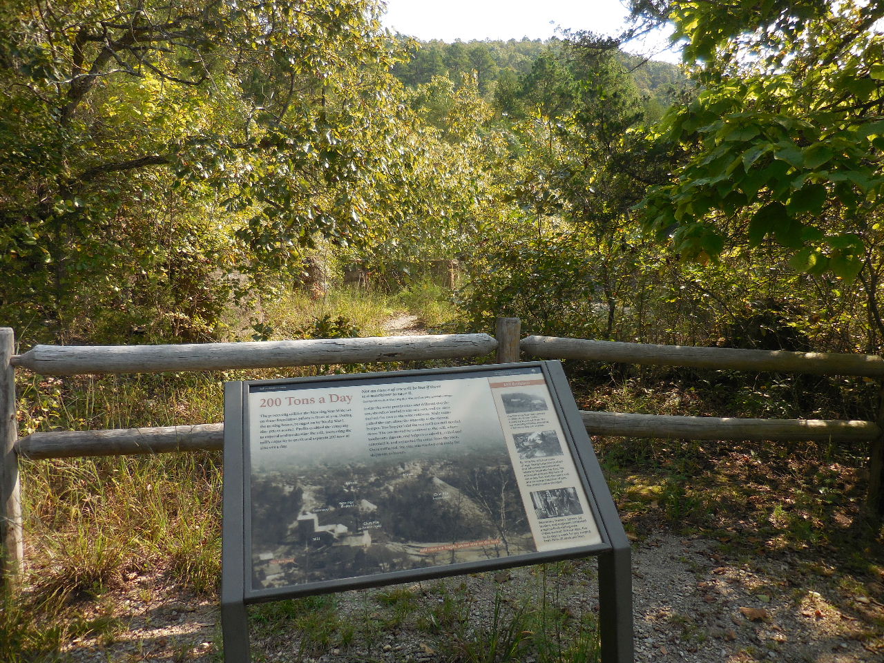 "I" Morning Star Processing Mill |
 "J" Mine Tailings |
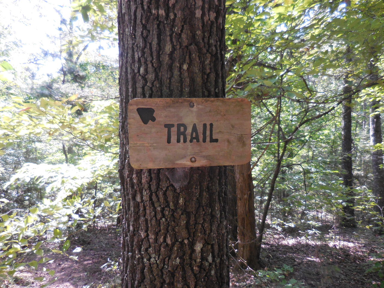
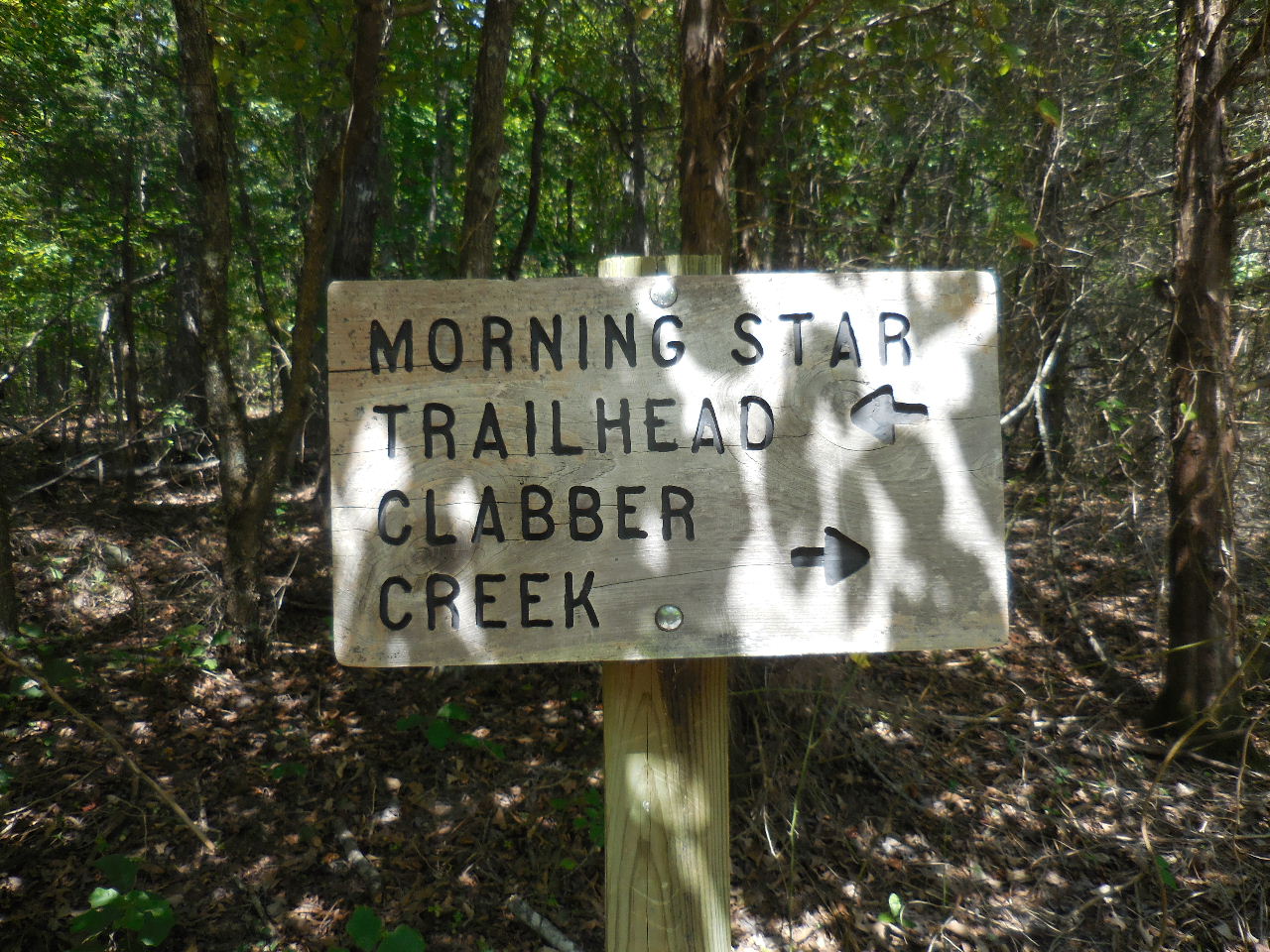
 Morning Star Trail leading back down to Parking Area #1 and Trailhead |
 Mine Tailings at Mill |
 Mill foundation lost in the brush |
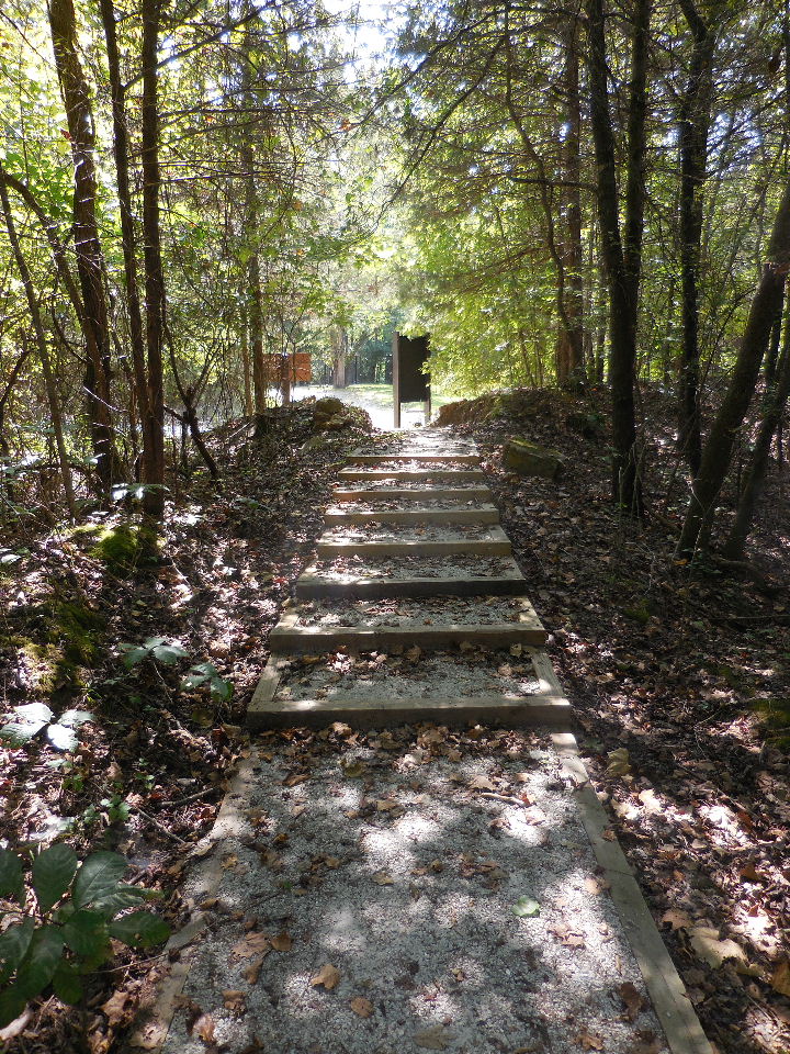
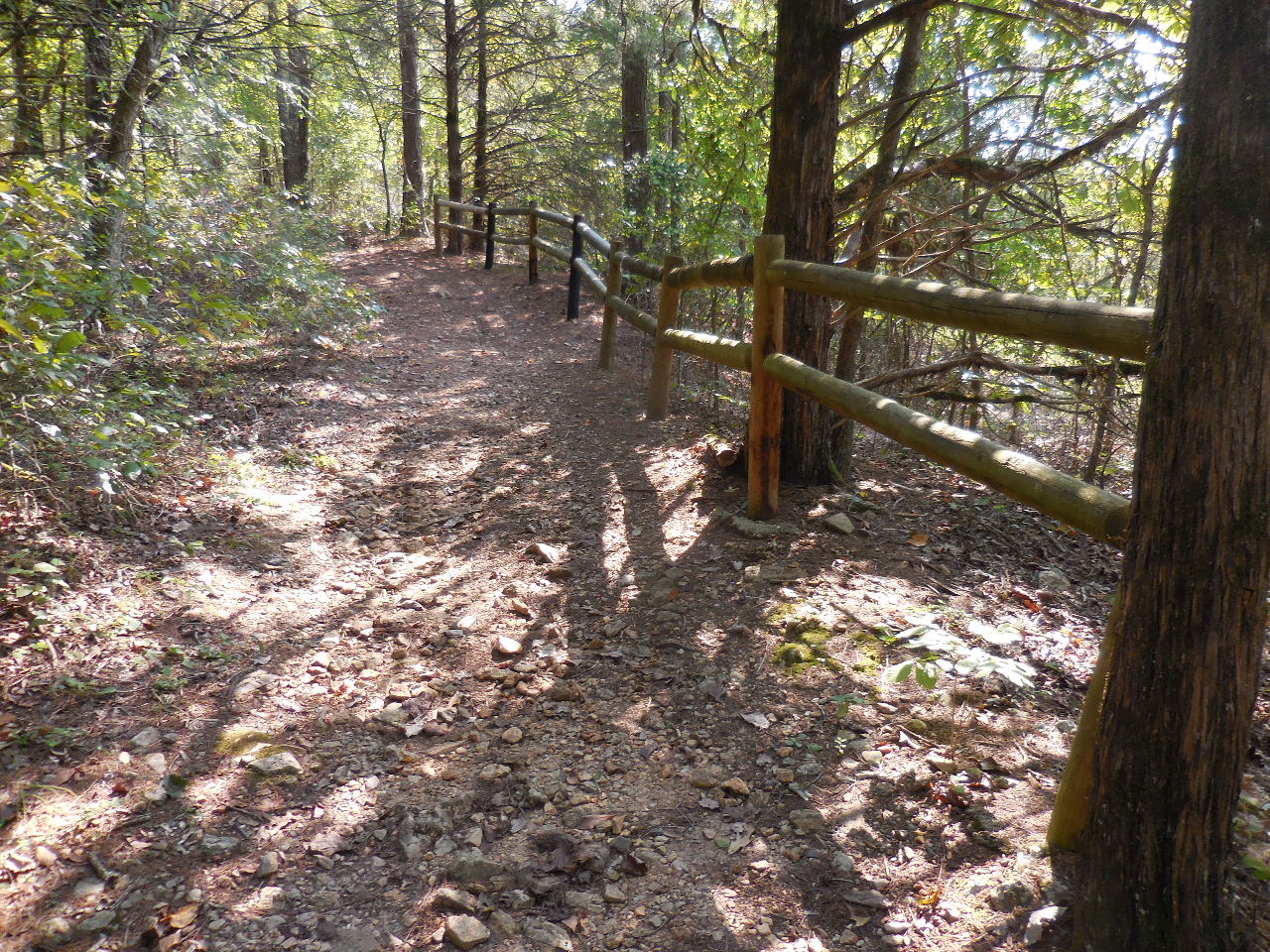 Back at beginning of Rush Mountain Trail |
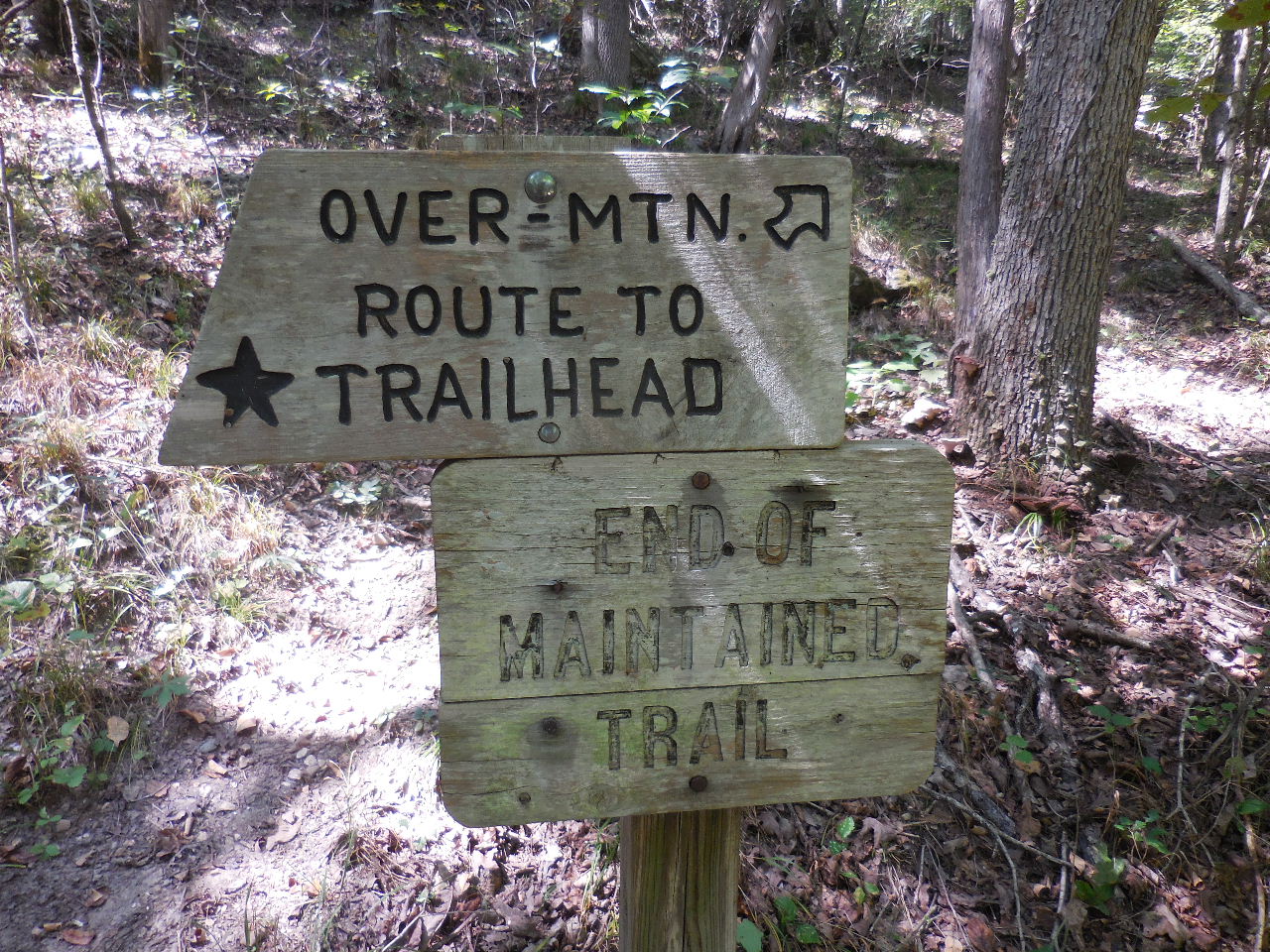
 "H" Sign and Trailhead for Primitive Trail 36.13252°, 92.56815° |
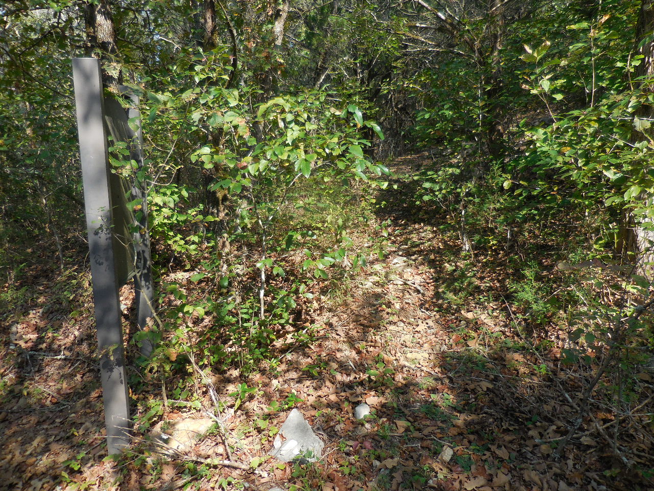 Primitive Trail heading up the hill next to sign |
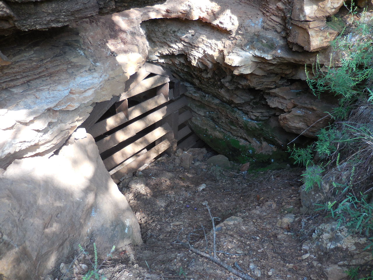
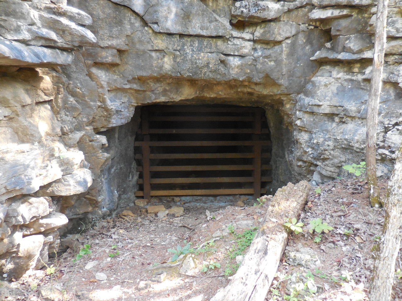
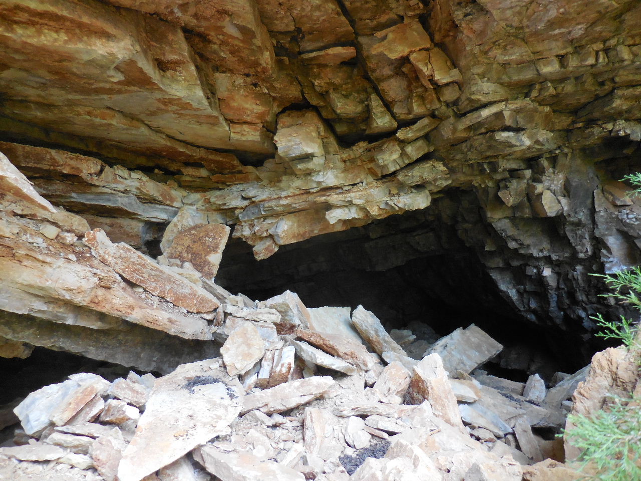
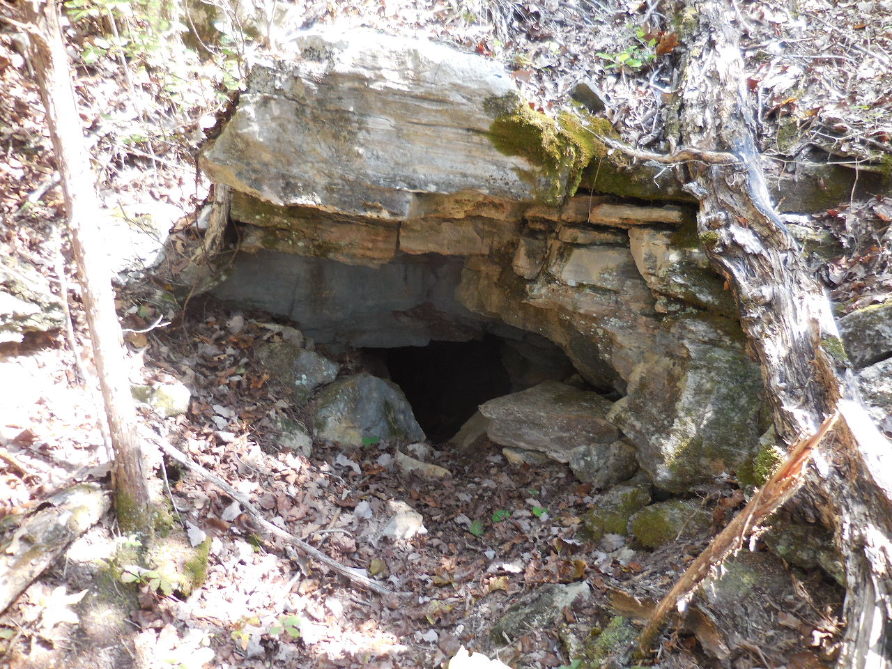
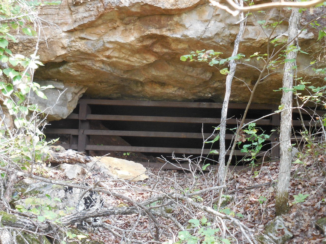
 Mine #1 |
 Mine next to Mine #1 |
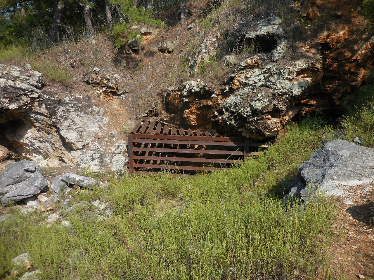
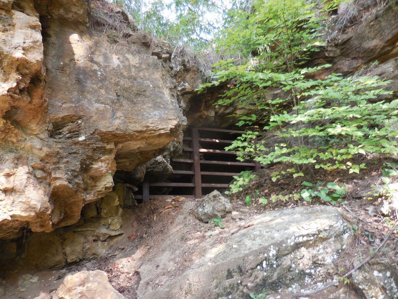
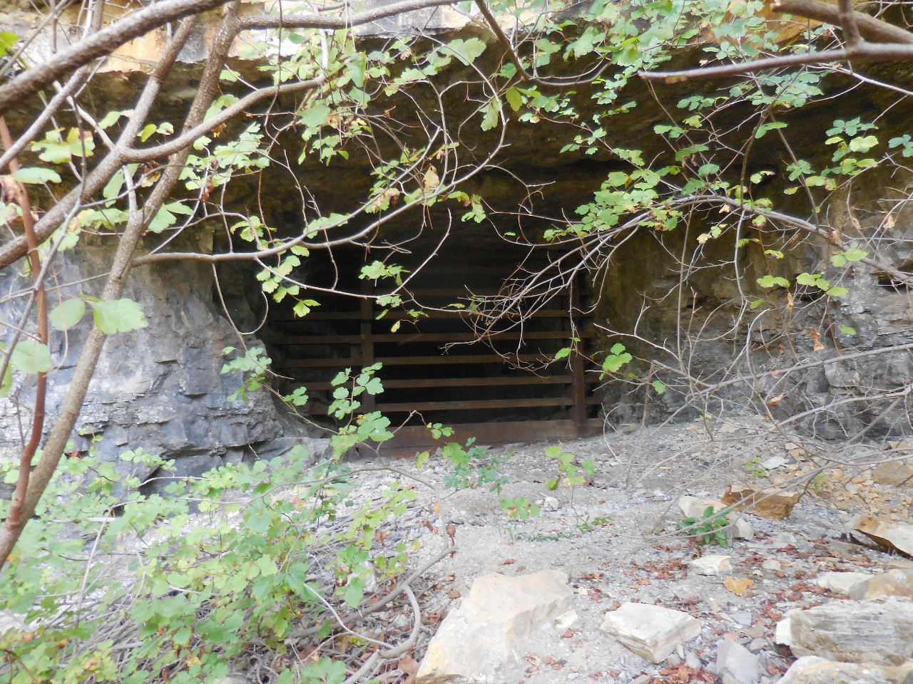
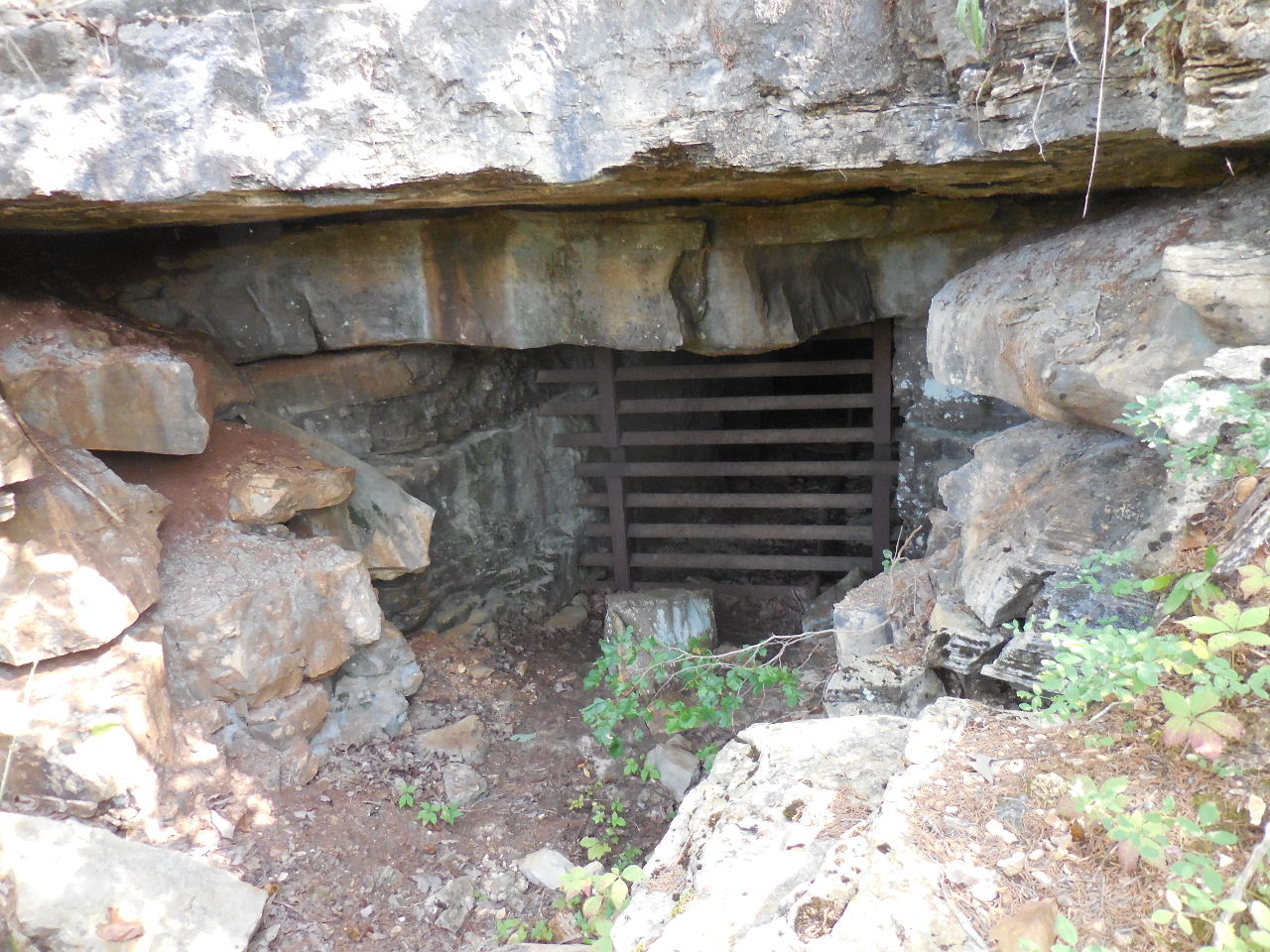
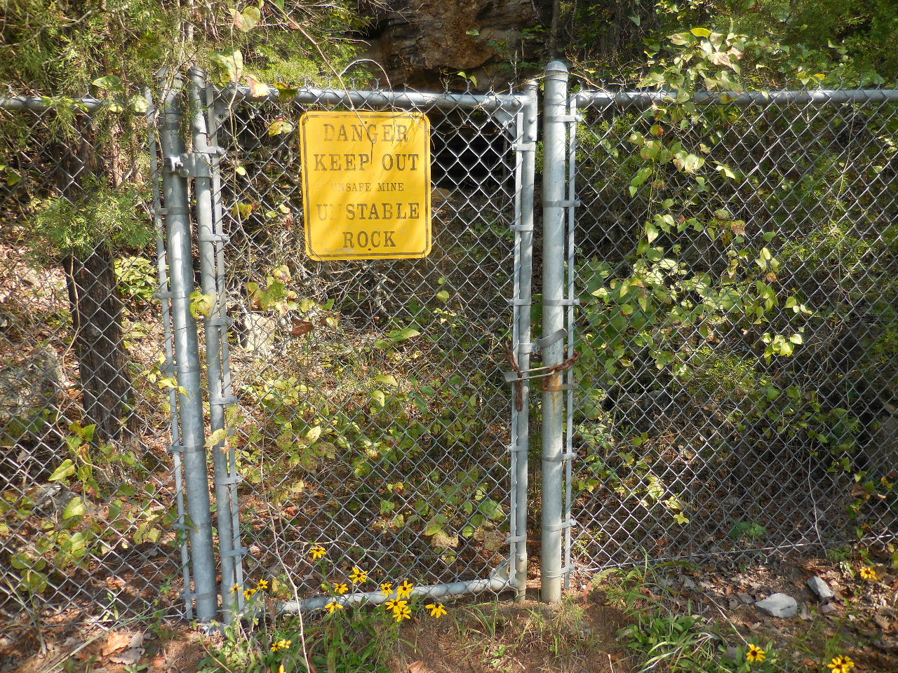
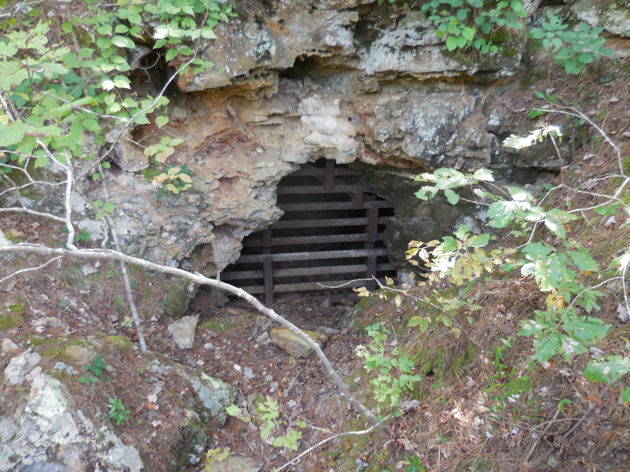
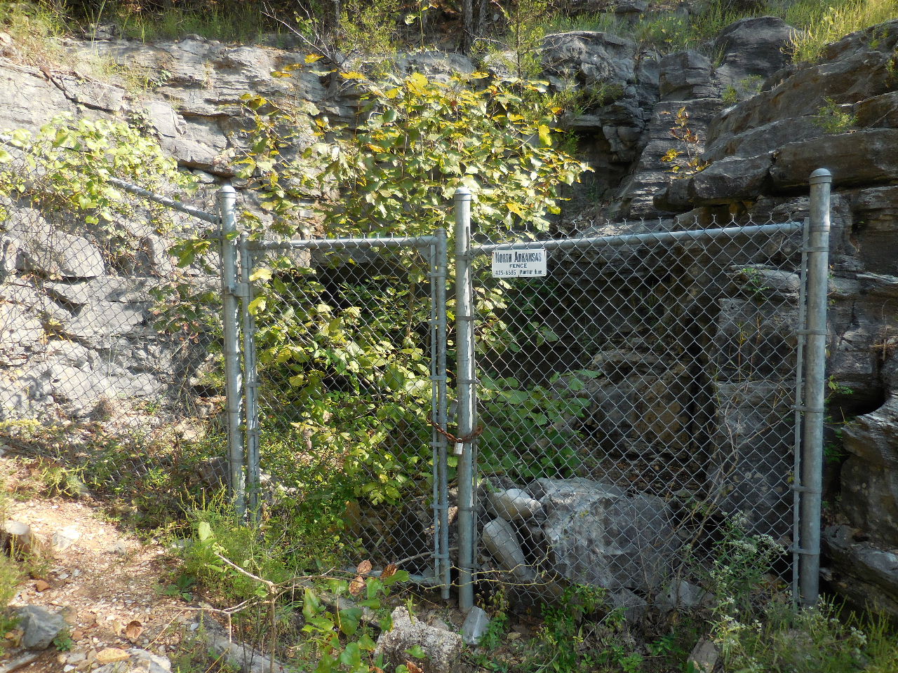 Gate at Mine #2 |
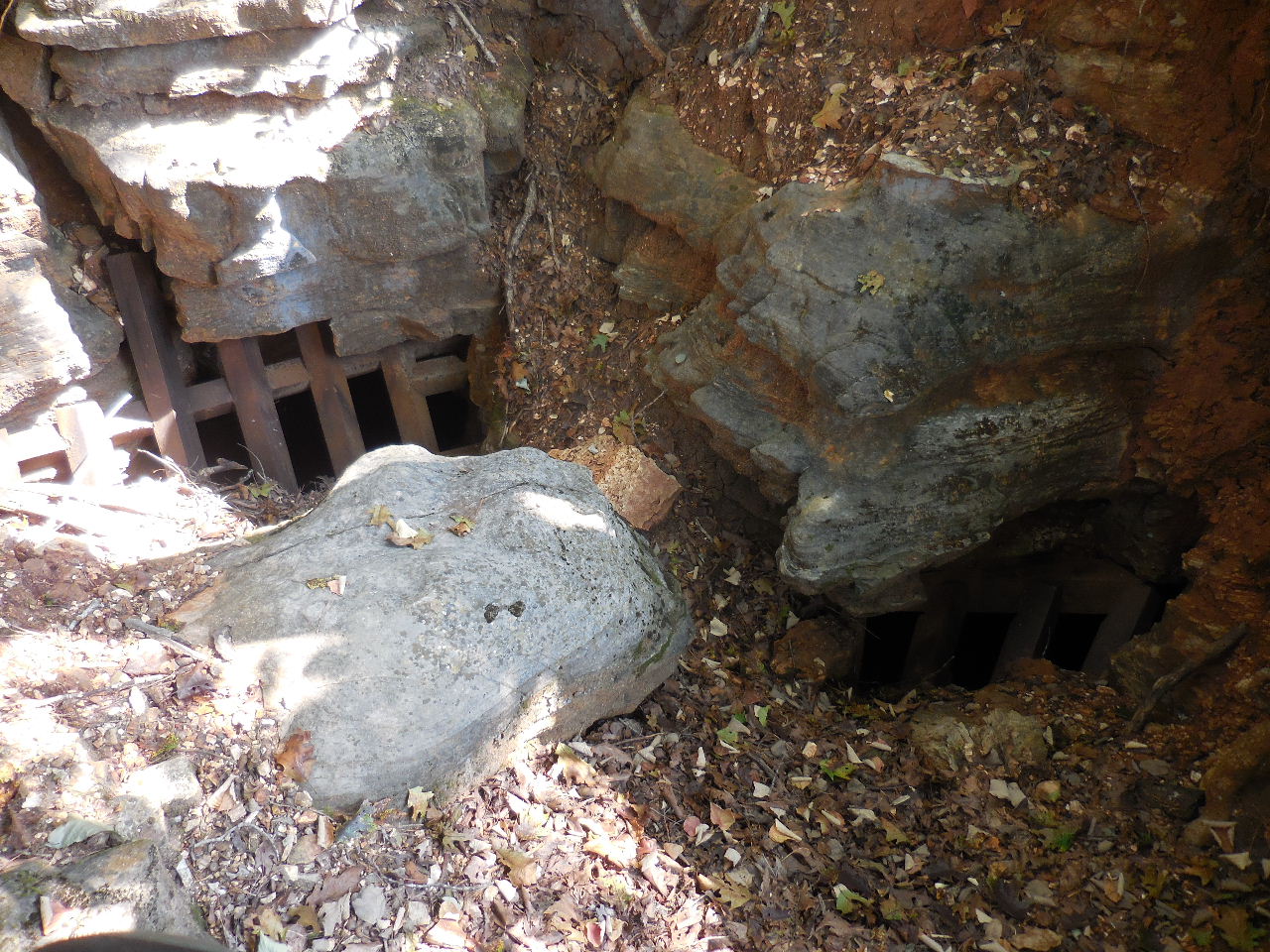
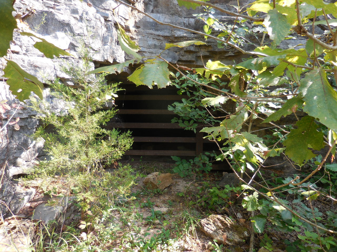 Mine #2 |
Access to Mine
#1 and #2 and Primitive Trail 36.13280°, 92.56704° (Hard to see the access to Primitive Trail) |
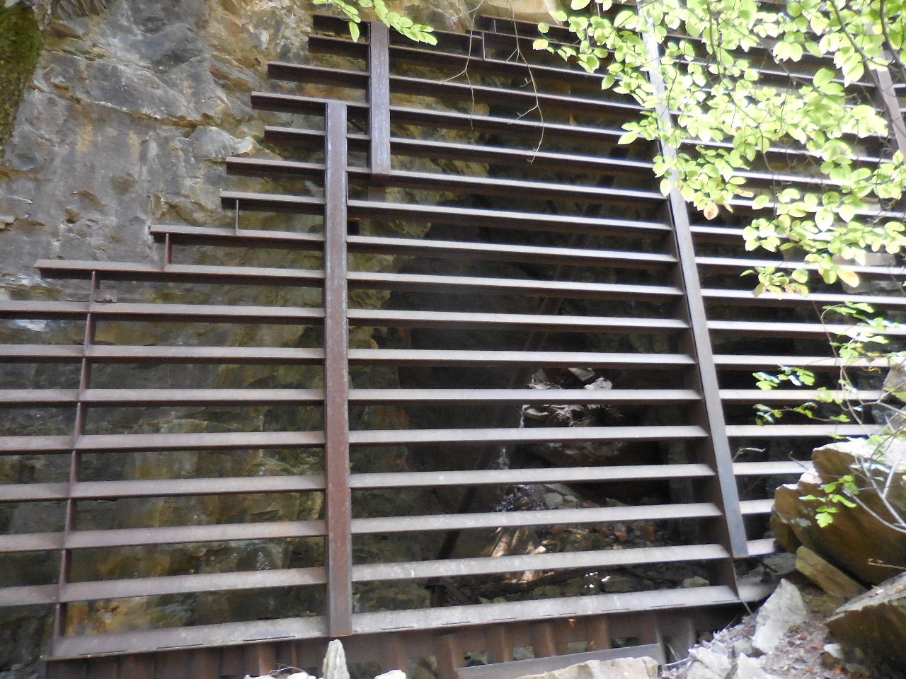
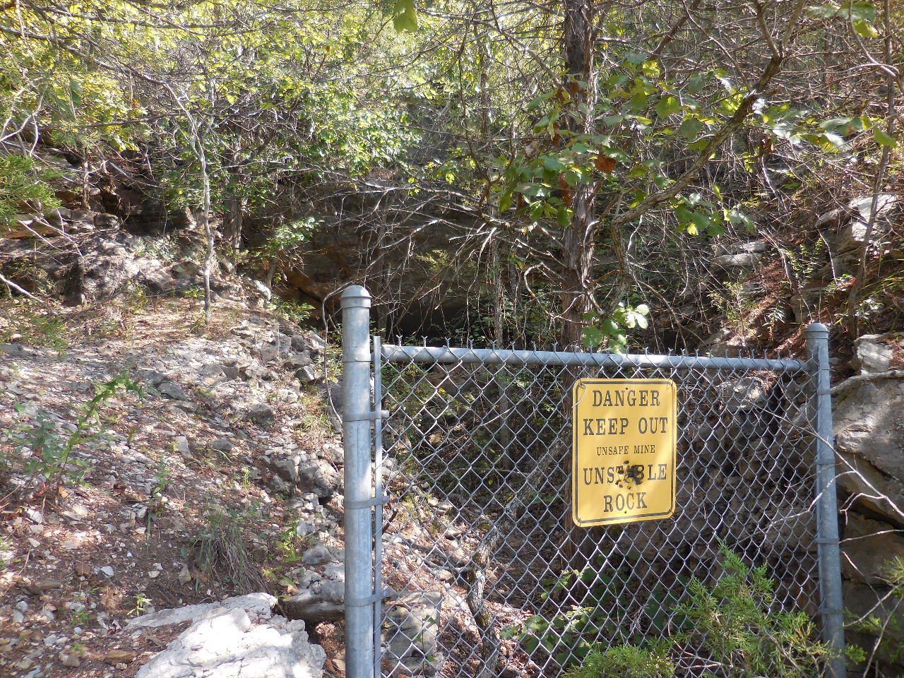
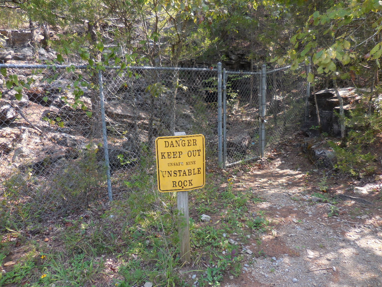 Gate at Mine #3 |
 Mine #3 |
 Mine #4 |
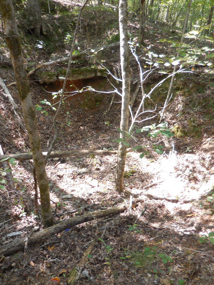
 Sinkhole next to trail and gate at Mine #5-6 |
 Gate at Mines #5, 5a and 6 |
 Mine #5 |
 Mine 5a |
 Mine #6 |
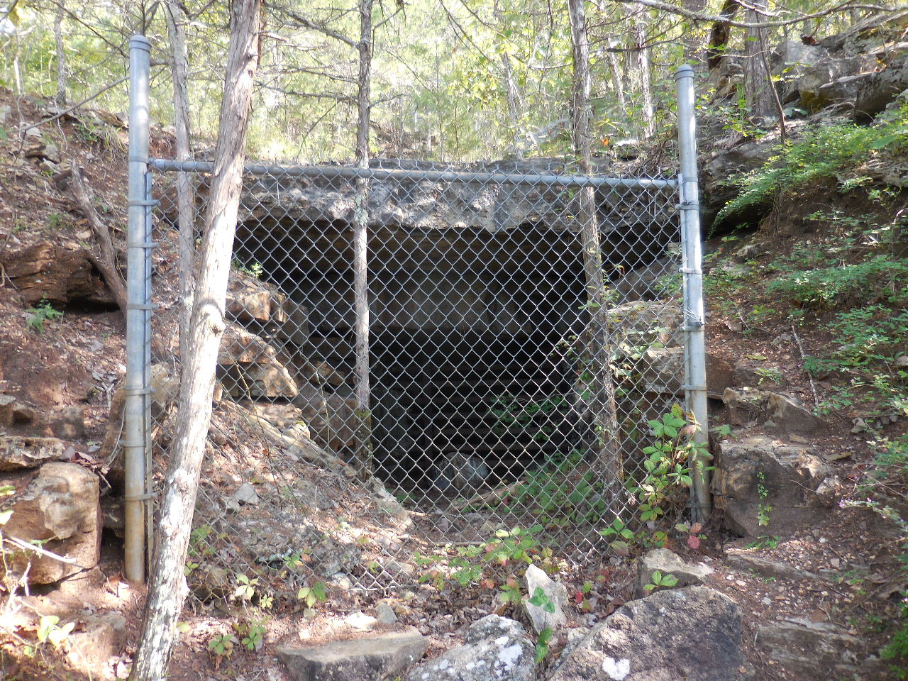 Gate at Mine #7 |
 Mine #7 |
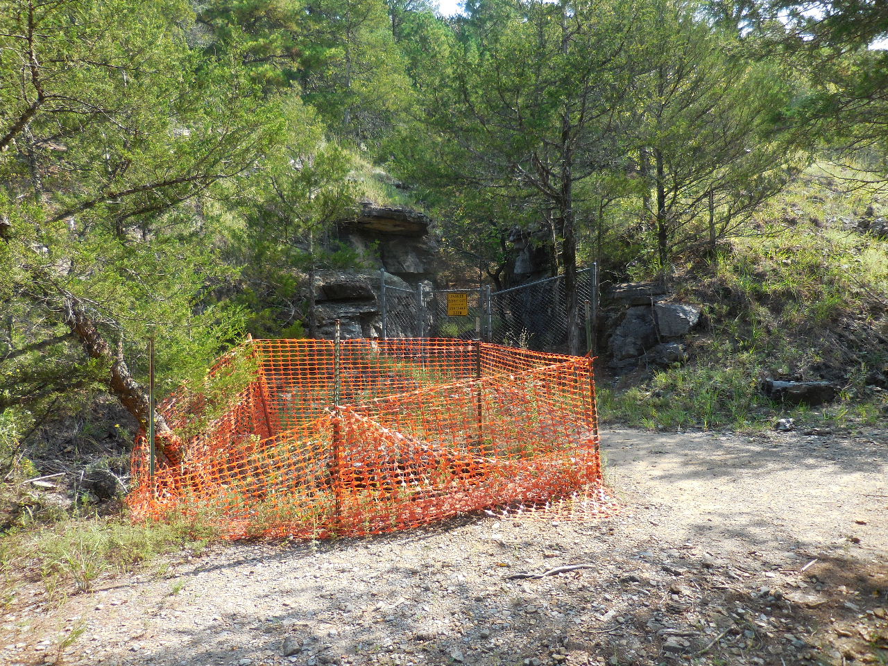
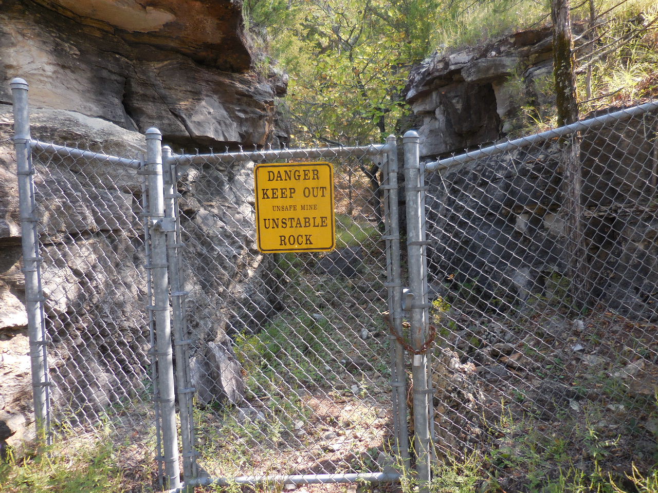
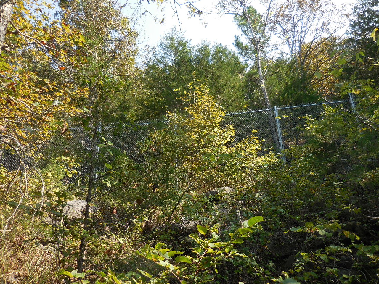 "M" Upper chainlink fence that surrounds a large opening mining area. |
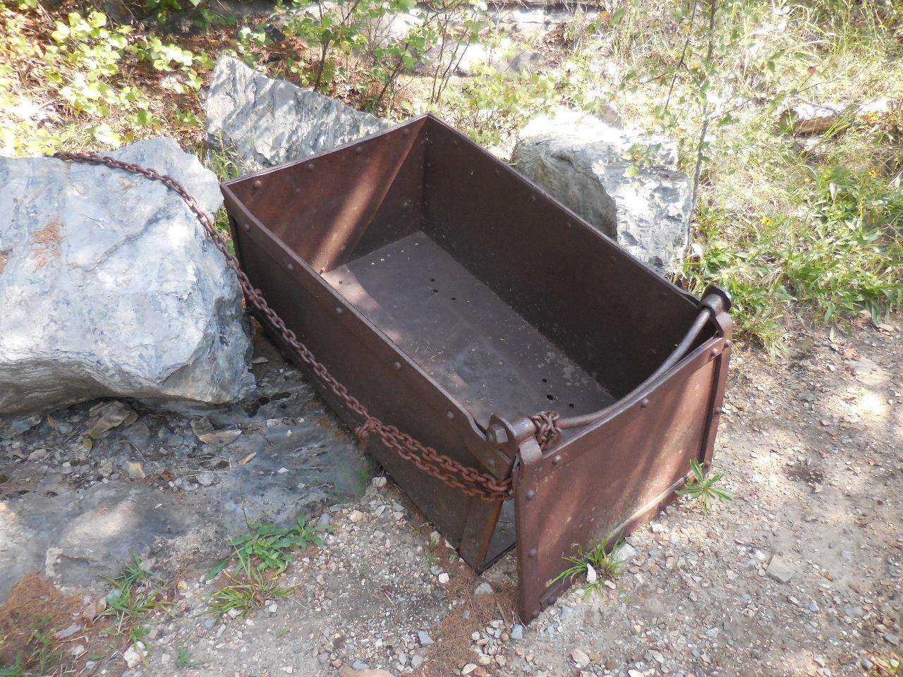 "N" Mining Cart 36.13039°, 92.56324° |
 Mine #8 |
 Mine #9 |
 Gate at Mine #10 |
 Mine #10 |
 Gate at Mine #11 |
 Mine #11 |
 Mine #12 and #12a |
 "O" Trail Intersection 36.12748°, 92.55782° |
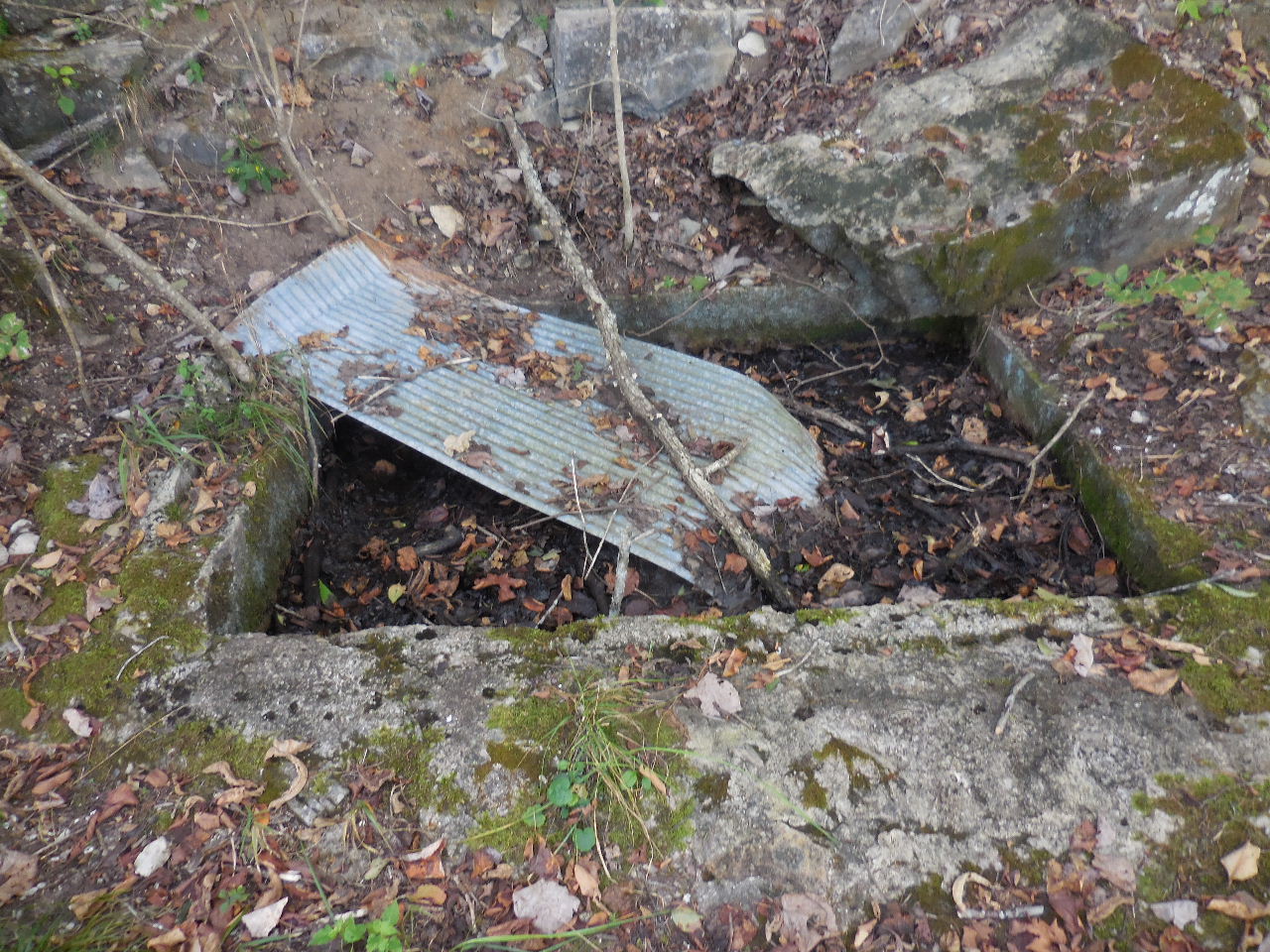
"P" Area of a
large area of tailings. A processing mill was brought in from Missouri in the late 1950s. It was short-lived. |
 "Q" Trail Intersection 36.12593°, 92.54940° |
 Trail leading down to Parking Area #2 and Trailhead from "Q" |
 Trailhead sighting..... |
 Signs at Trailhead 36.12520°, 92.54938° |
 Parking Area #3 next to Trailhead 36.12518°, 92.54909° |
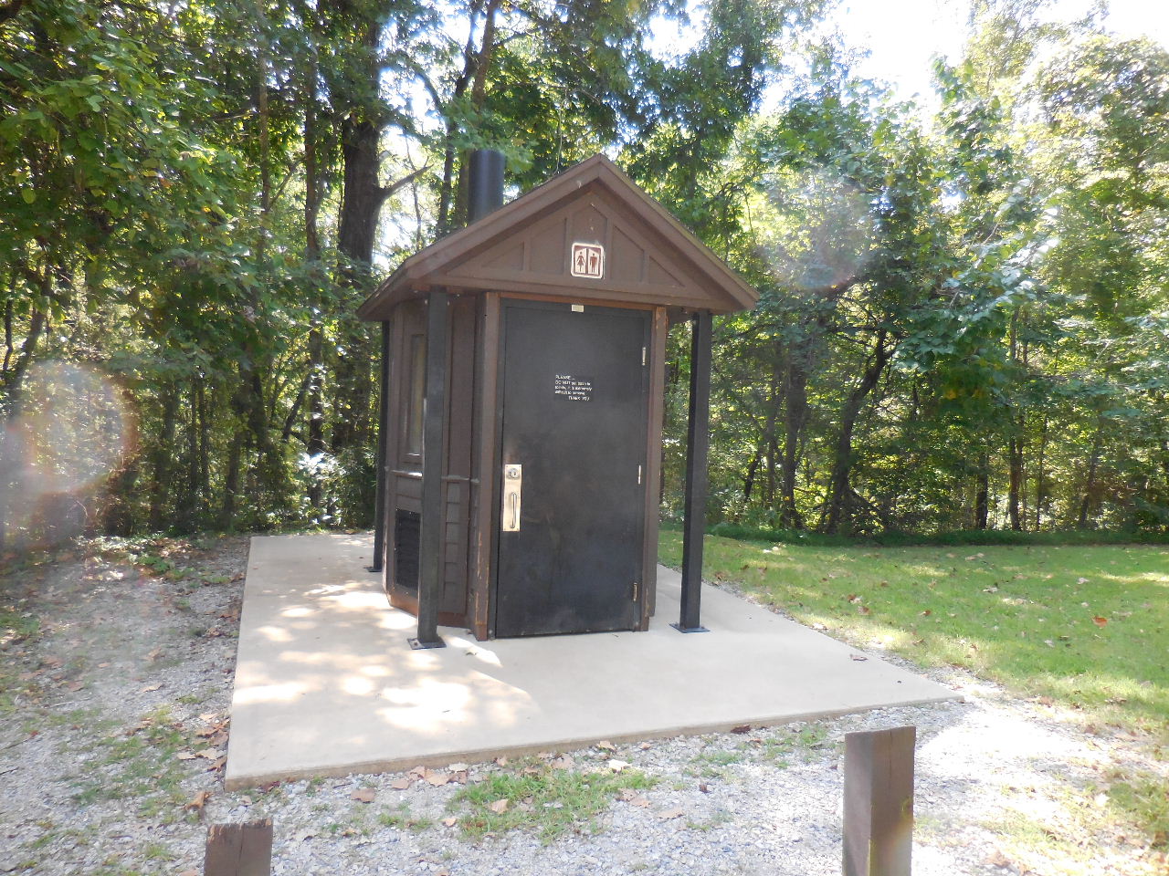 Restroom |
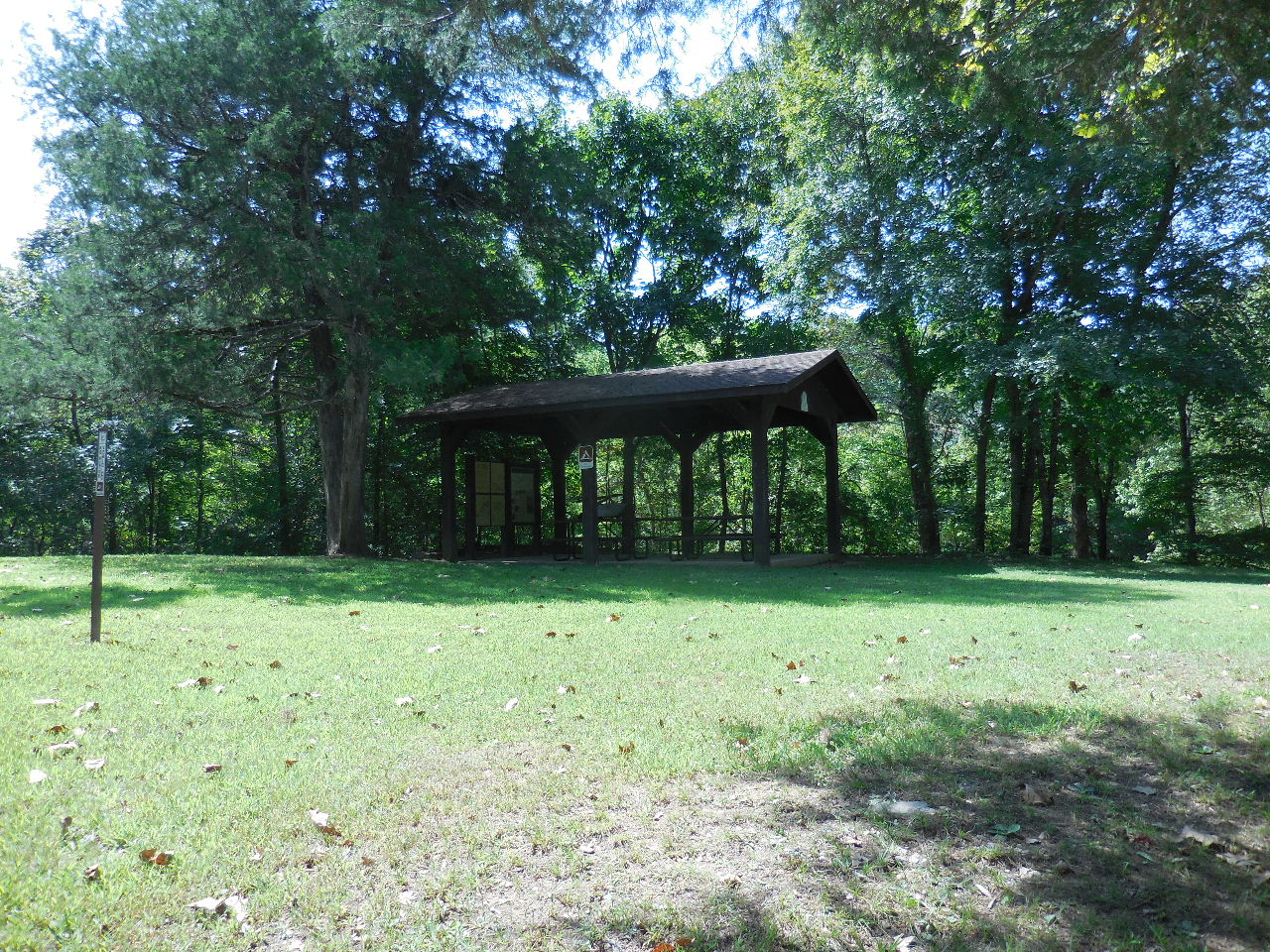 Picnic area..... |
| "R" Site of White Eagle Mill (Only tailings remain) |
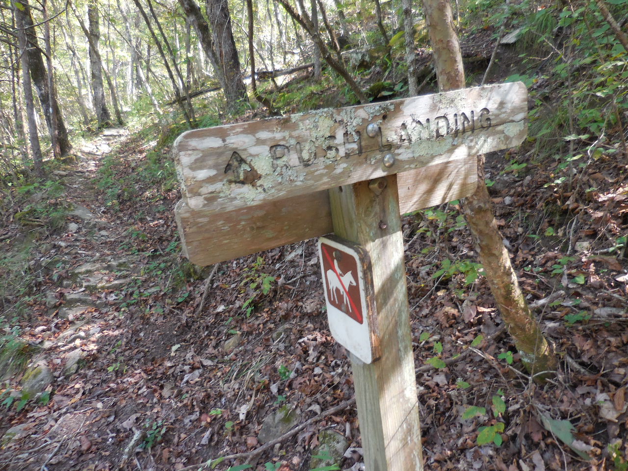
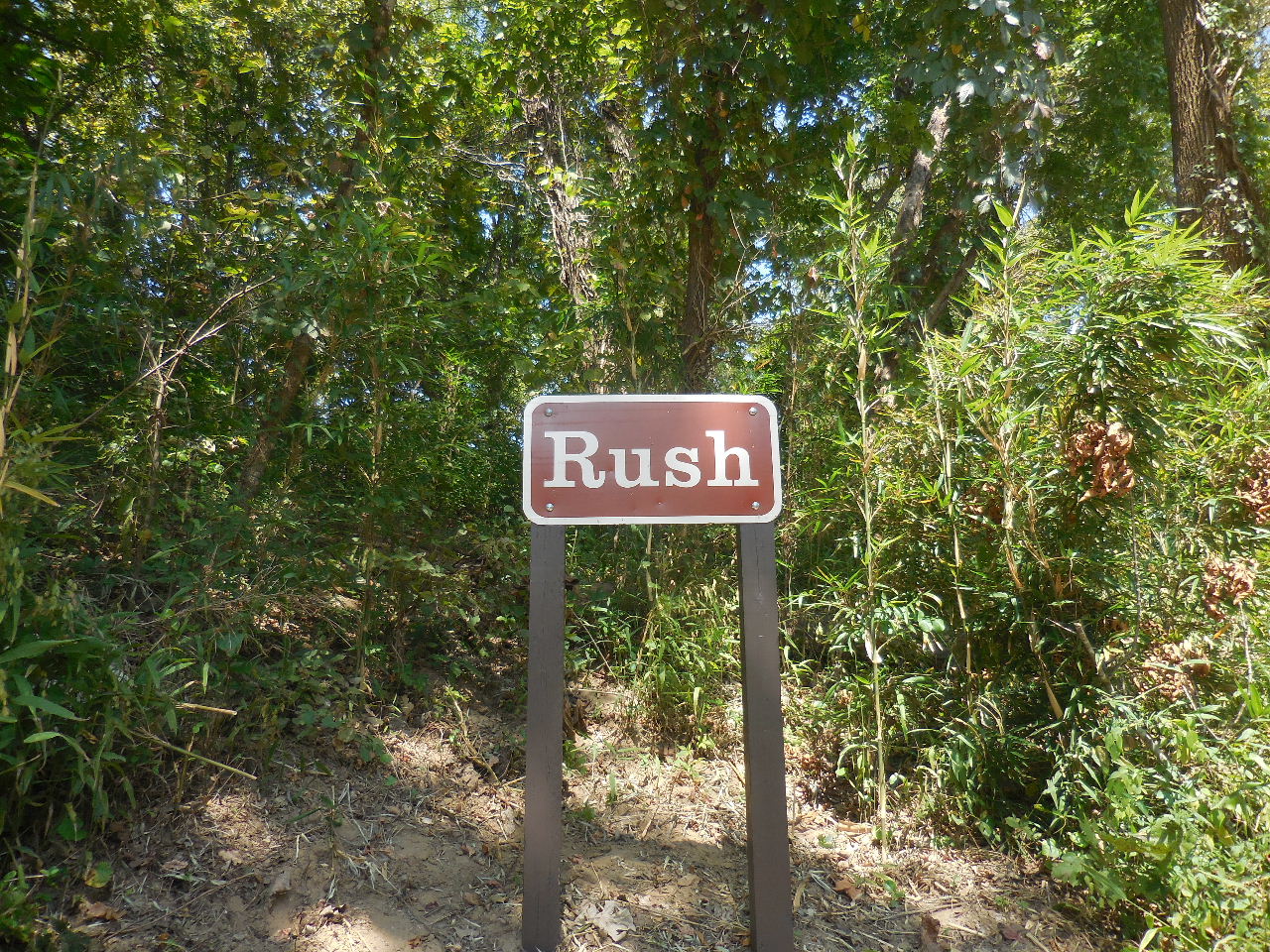 Rush Landing Sign |
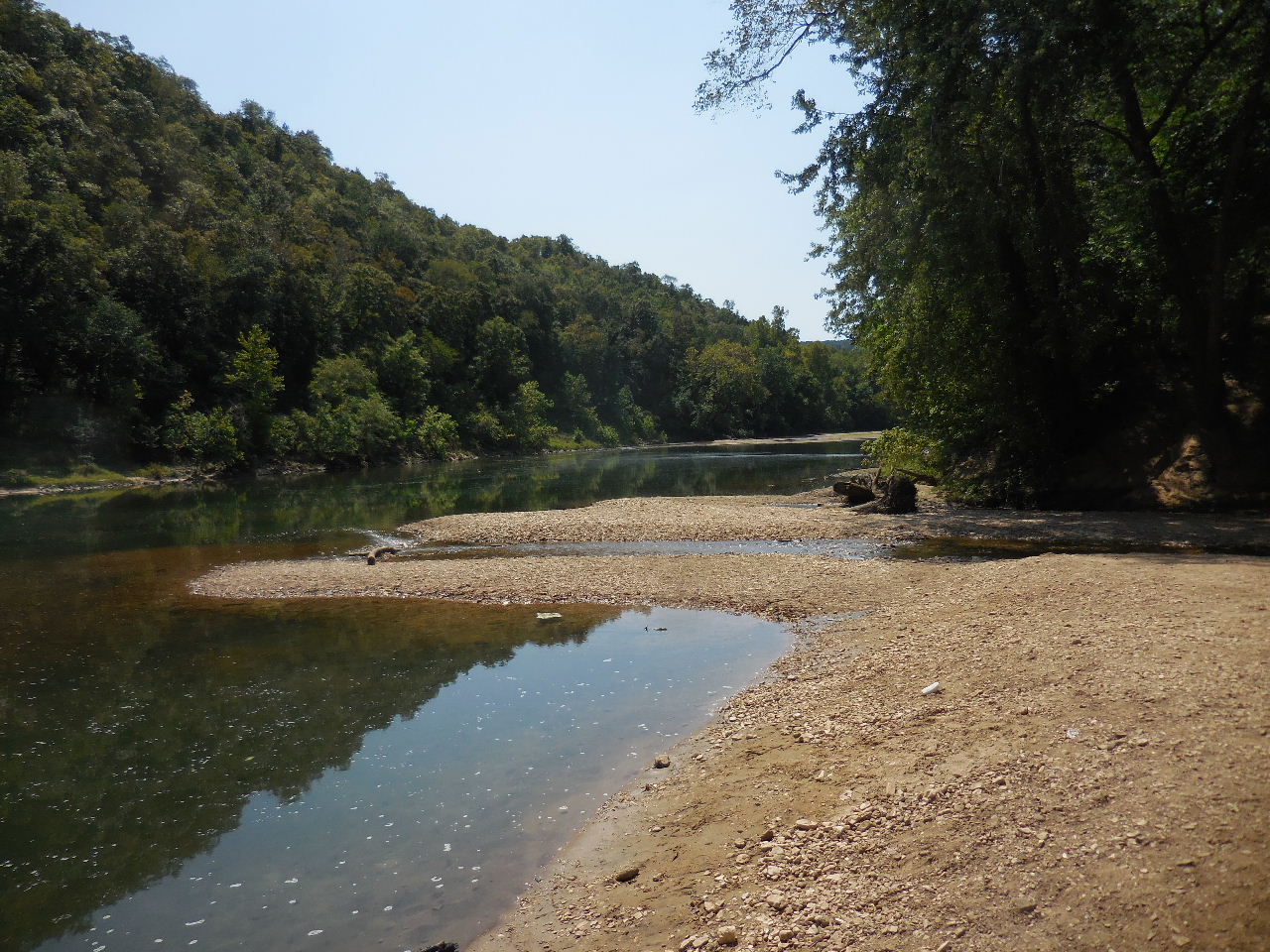 Buffalo River at Rush Landing |
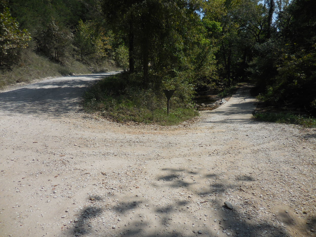 Road leading to Rush Campground 36.12624°, 92.54914° |
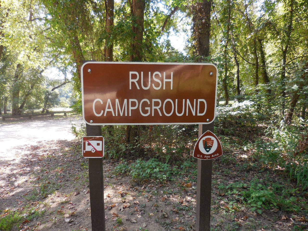 Rush Campground (Fee required) |
"AA" Site of McIntosh Mine (Some foundations remaining) Several buildings once stood including a hotel. |
| "BB" Site of Boiling Springs Before the mining era, a gristmill operated below here on Rush Creek. |
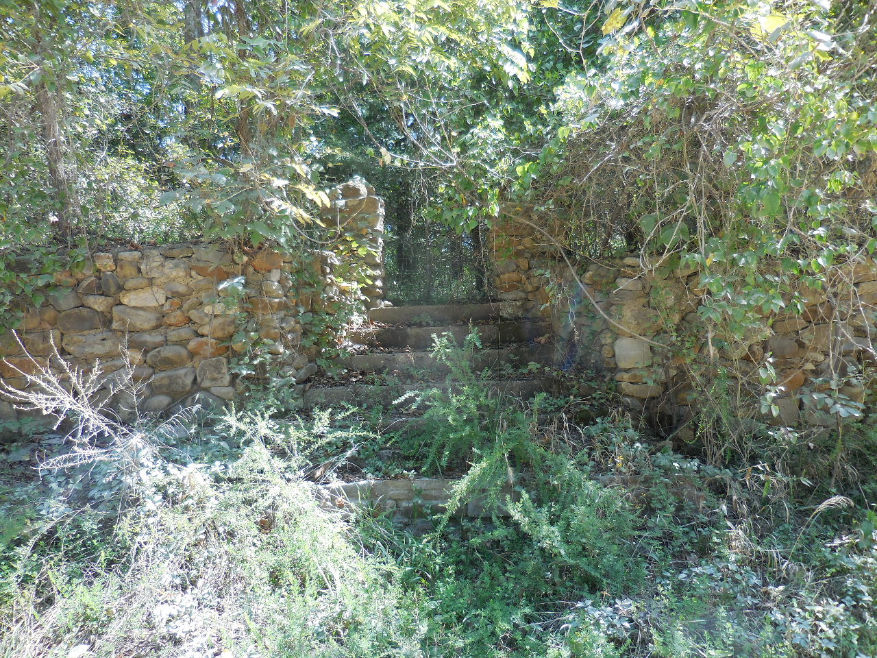 "CC" Rock wall at Hick's Store |
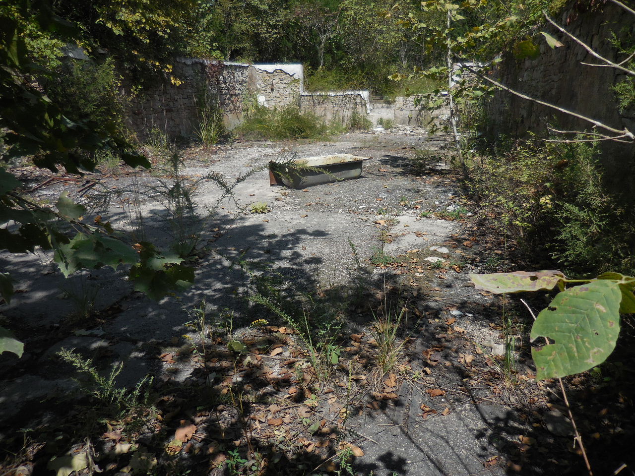 "CC" Interior of Hick's Store 36.12818°, 92.56382° |
| Parking Area
#4 36.12853°, 92.54615° Entrance to old road and gate) |
 "T" Old house foundations 36.12883°, 92.54629° |
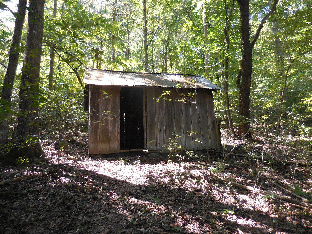 "U" Old Barn 36.12957°, 92.54704° |
| "V" Road
Intersection 36.13175°, 92.54728° There is an open gate on up this road |
 "W" Open Mine Area 36.13166°, 92.54834° |
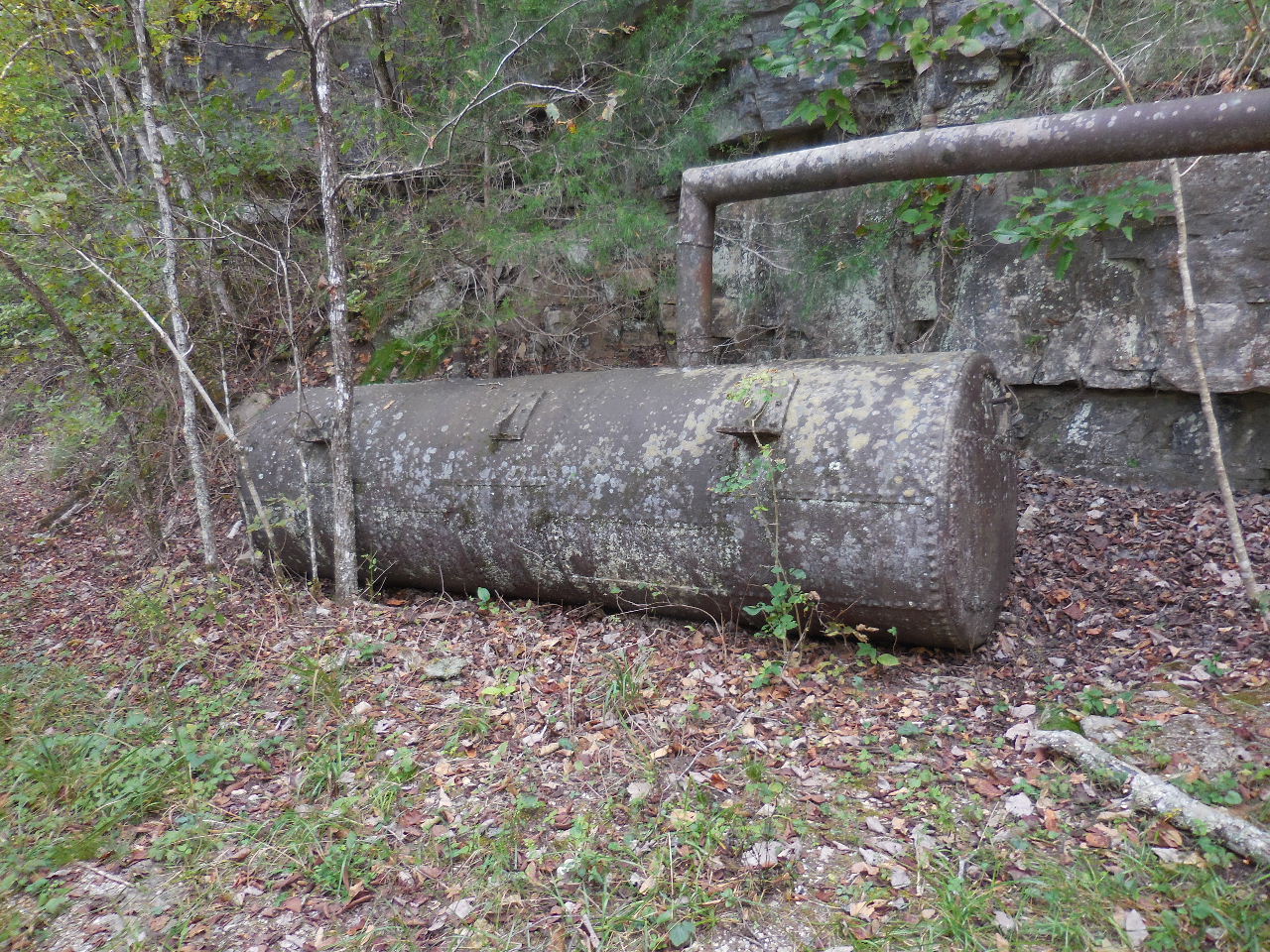
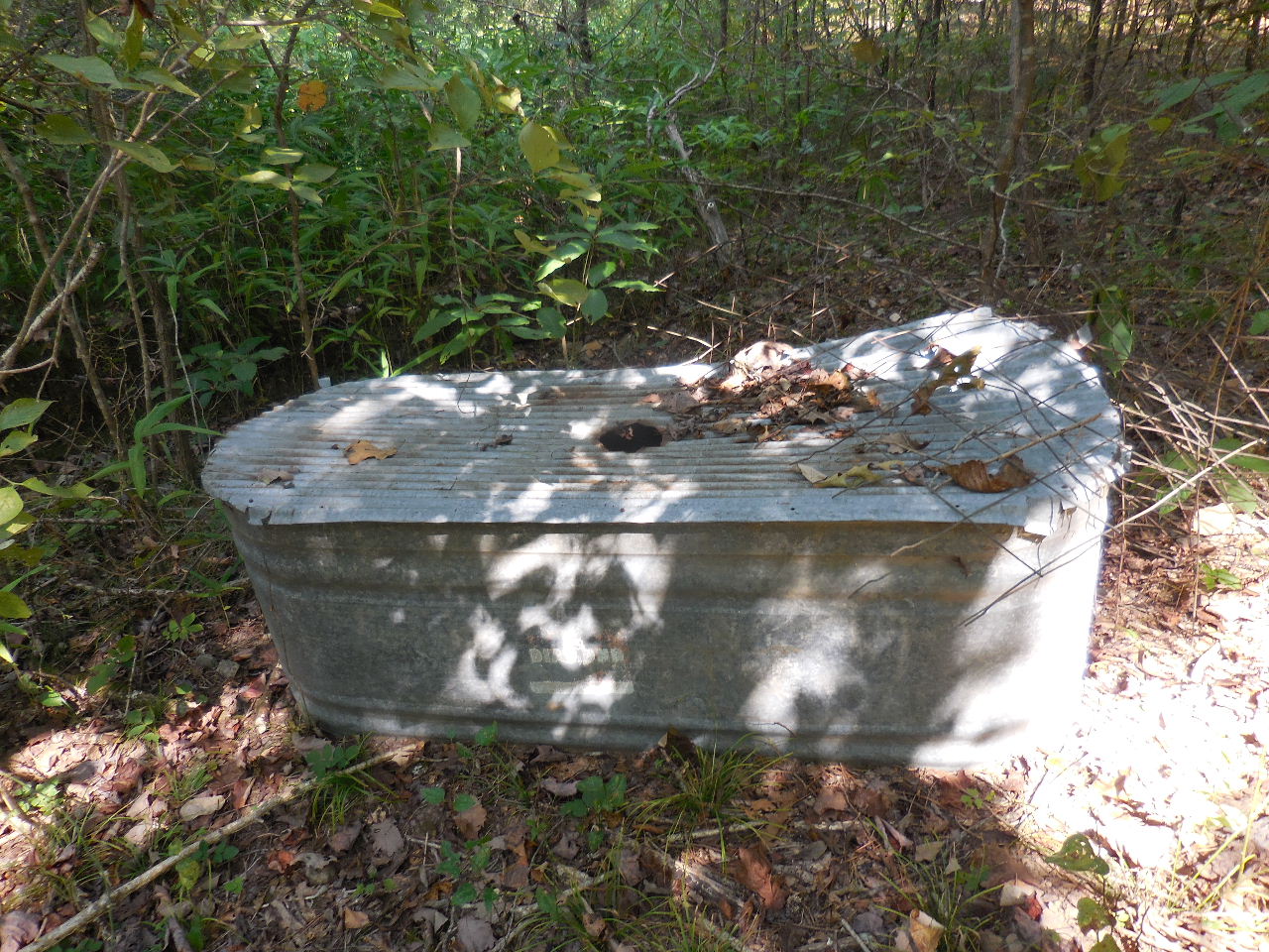 "W" Tank 36.13173°, 92.54798° This area has been fenced, so I am guessing it was once a priviate mining operation? |
 Mine #13 |
 "X" Rush Mountain Trail Intersection w/Old Road (Signs reads: Clabber Creek, Rush Landing) 36.13069°, 92.55044° |
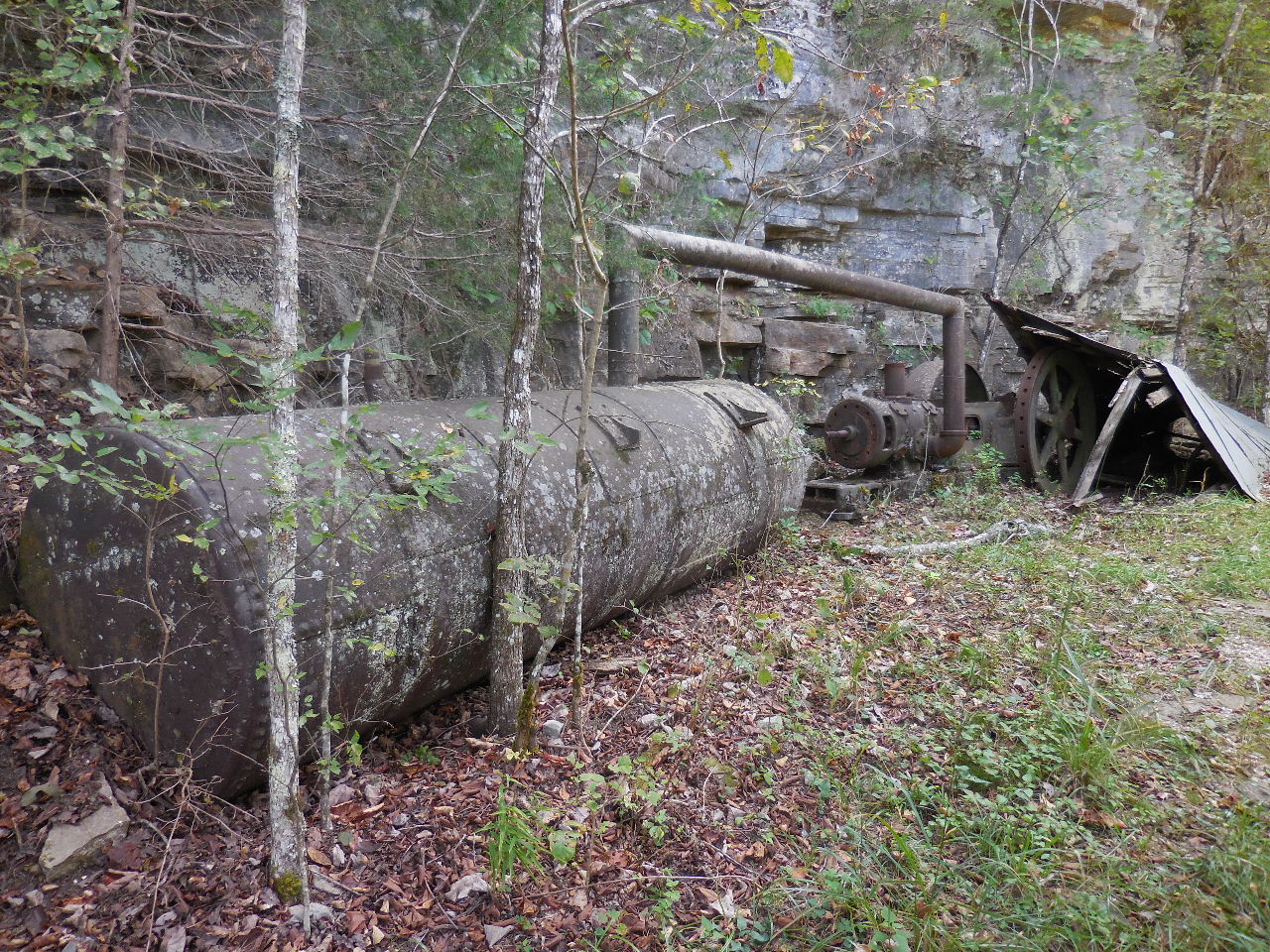 "Y" Mining Equipment 36.13014°, 92.55177° |
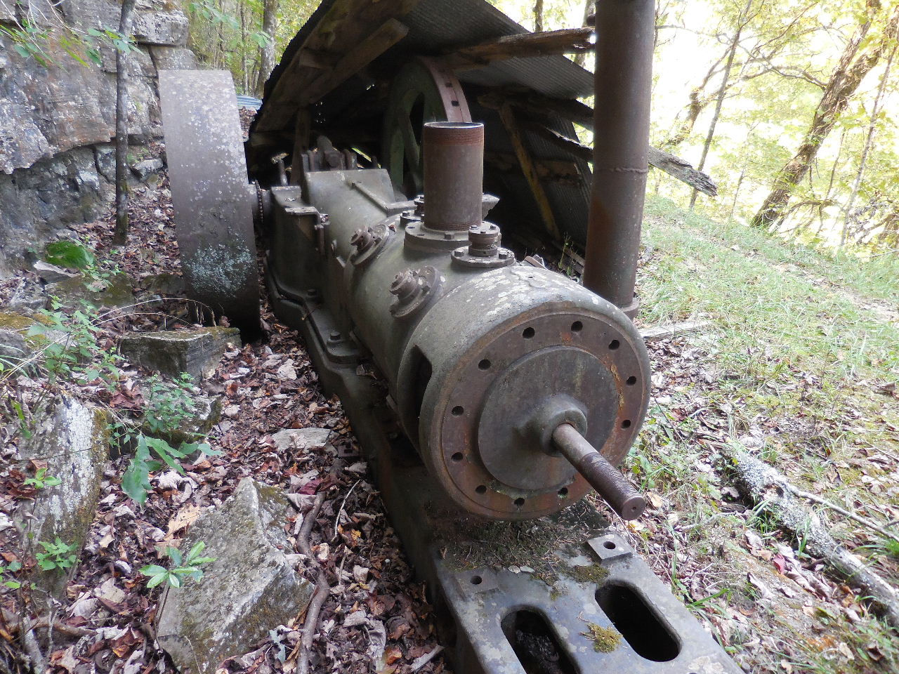 "Y" Mining Equipment |
 "Y" Mining Equipment |
 "Y" |
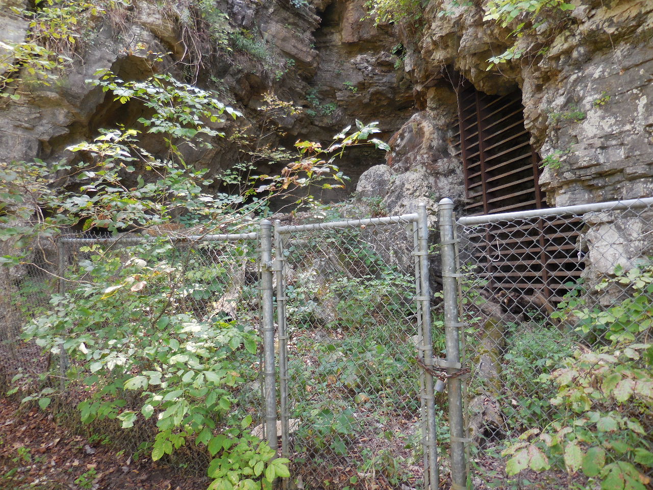 Gate at Mine #14 Monte Cristo Mine |
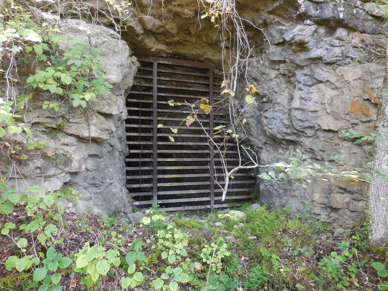 Mine #15 (All behind gated area) Monte Cristo Mine |
 "Z" Primitive Trail Access 36.13172°, 92.55352° |