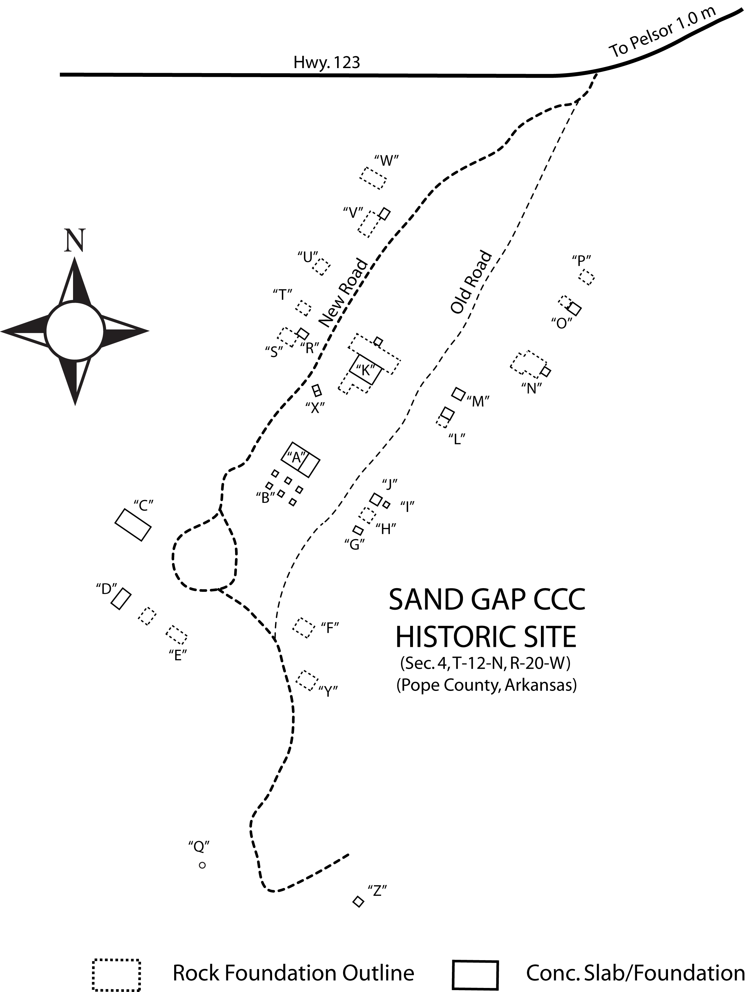
Map prepared by TAKAHIK River Valley Hikers
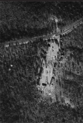
Aerial Photo (GD-9-65, dated 12/31/36) of Sand Gap CCC Camp

THE CIVILIAN CONSERVATION CORPS
In response to the Great Depression, President Franklin D. Roosevelt created many programs designed to put Americans back to work.
The Civilian Conservation Corps (CCC), one of the first emergency agencies, was established in early 1933.
At one time there were 37 CCC camps established in Arkansas. Nine of those camps were located in the Ozark National Forest.
A CCC company usually consisted of 200 enrollees, most coming from within one city or county in the state. They lived in World
War I surplus pyramid tents or wooden barracks. They worked 40 hours per week and were required to keep their camps neat and orderly.
In Arkansas, the CCC built 5, 177 bridges, strung 6,270 miles of telephone lines and built 5,356 miles of truck trails and roads. Also, in Arkansas,
they built picnic areas, campgrounds and observation towers, such as the one that used to be located at Fairview Campgrounds on Hwy. 7 north of Pelsor.
They also established tree nurseries, one which was located across the highway from Fairview Campgrounds, and mapped timber, providing
the Forestry Commission with the very first forest inventory.
There are six Historic Sites listed in the Ozark National Forest which include: Bayou Bluff Recreation Area, Long Pool Recreation Area, Sand Gap CCC Camp,
Fairview Campground Fire Tower and Nursery, Ozone Recreation Area and White Rock Mountain.
THE SAND GAP CCC HISTORIC SITE
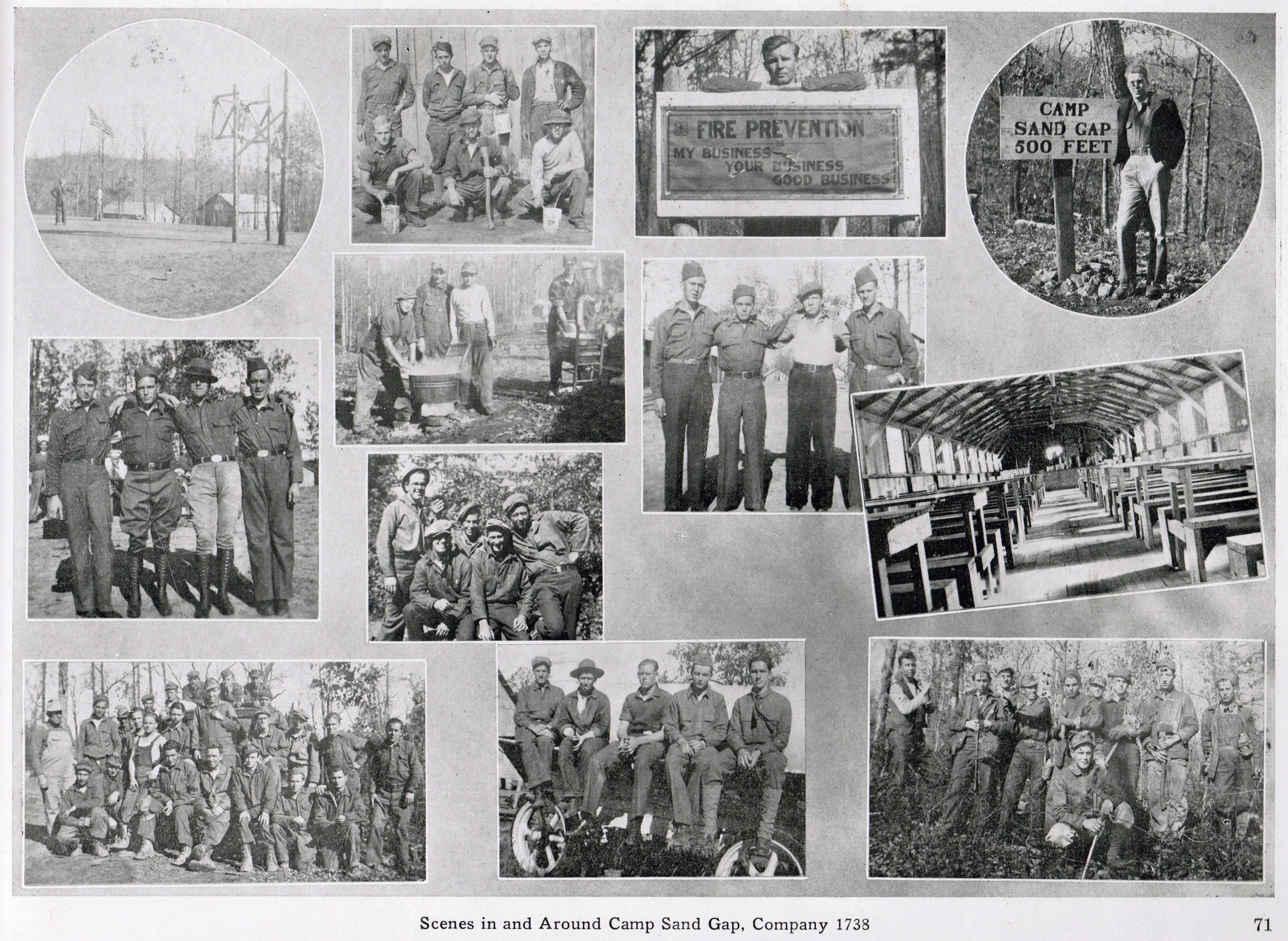
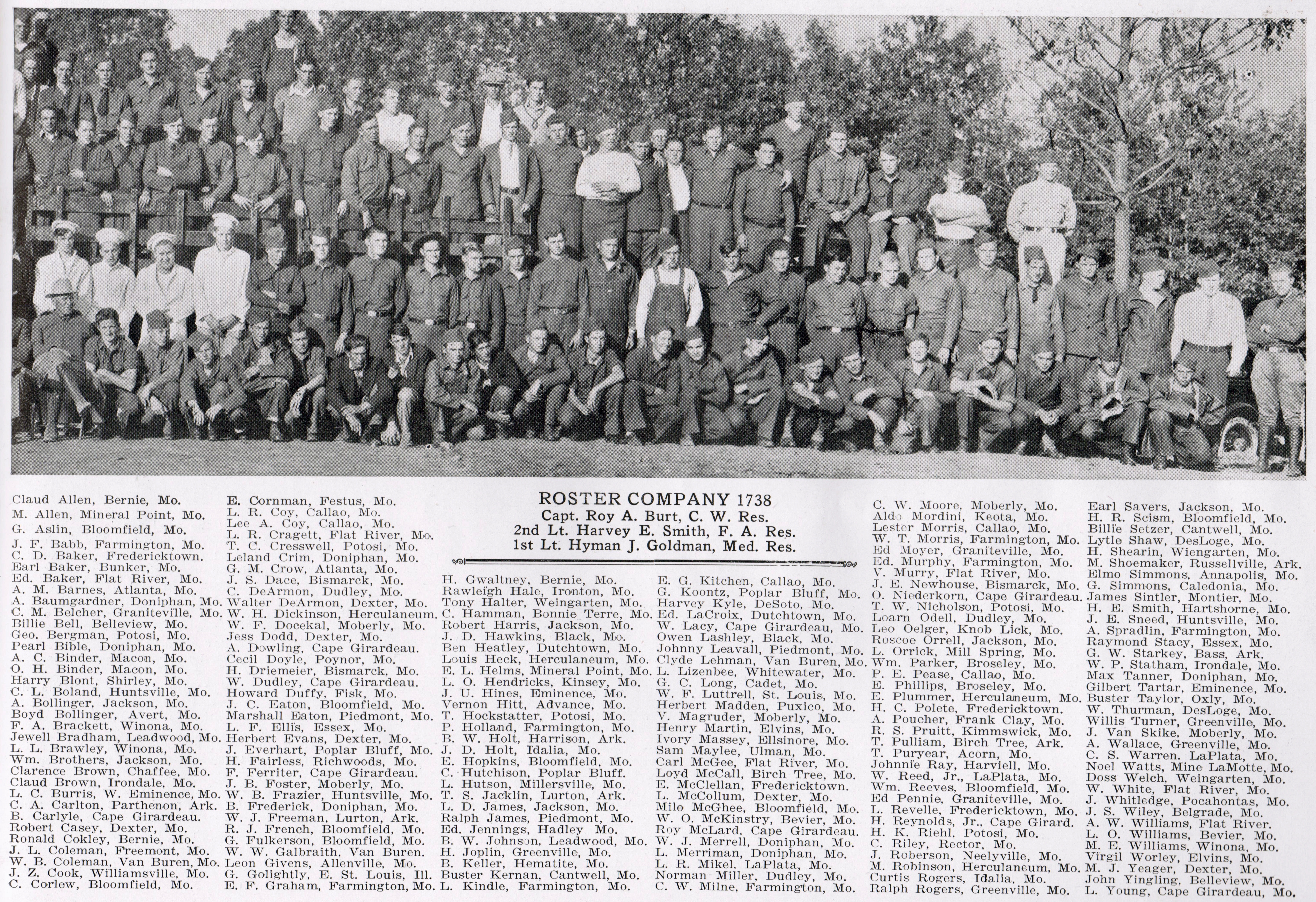
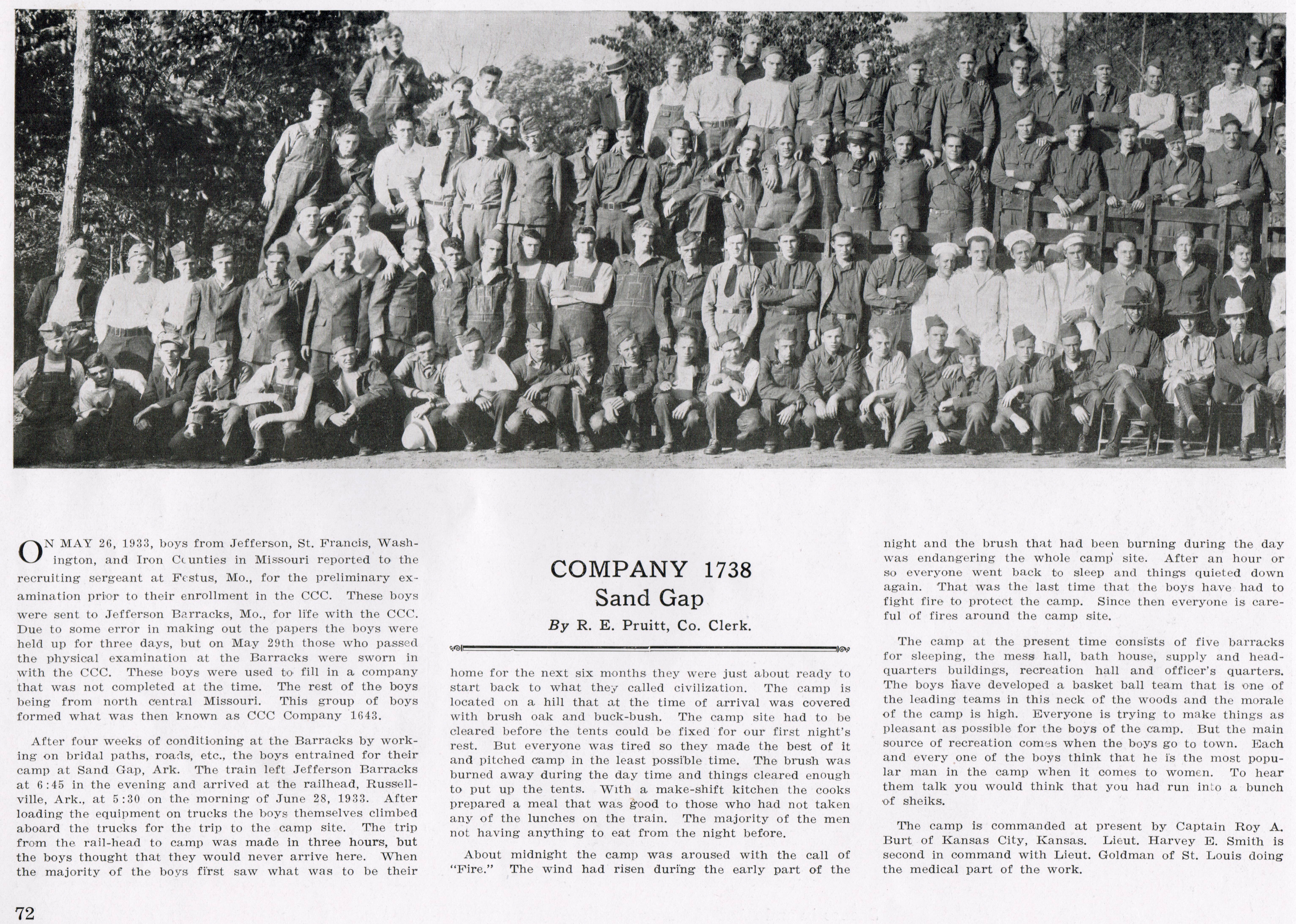
Sand Gap is the site of a major CCC camp (3PP0184). It was organized on June 28, 1933, Project #F-19 for Company #1738. It was used until 1938.
The old Mess Hall was used as a Veterans of Foreign Wars (VFW) post until it burned in 1964 or 1965.
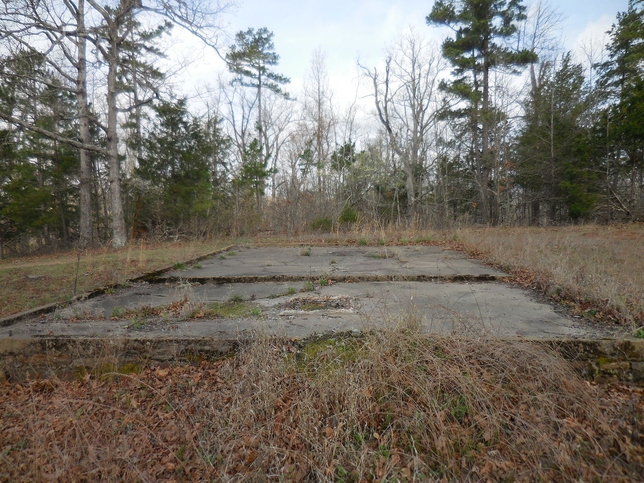
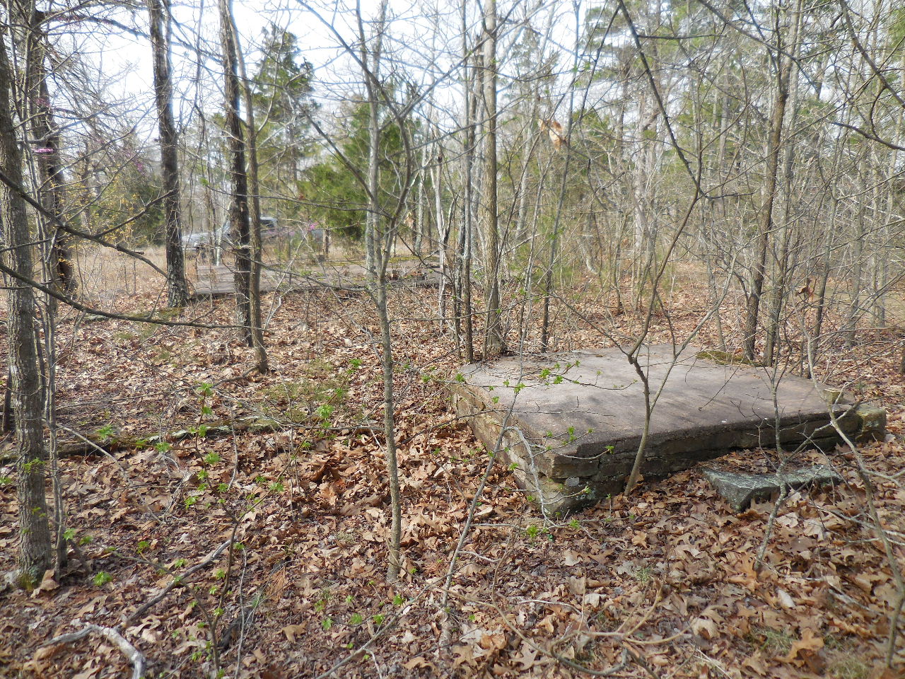
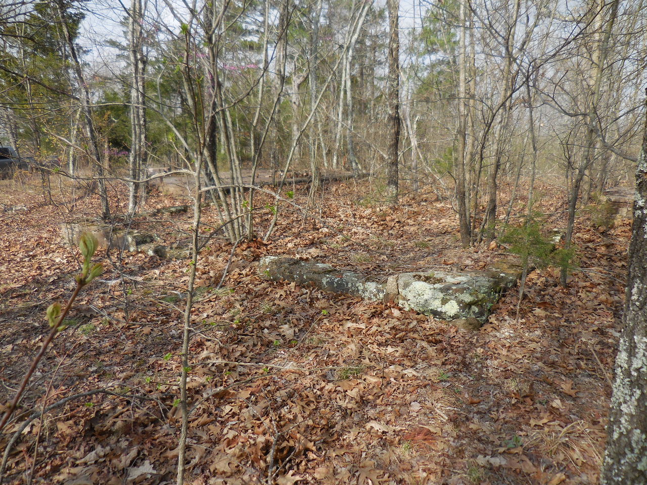
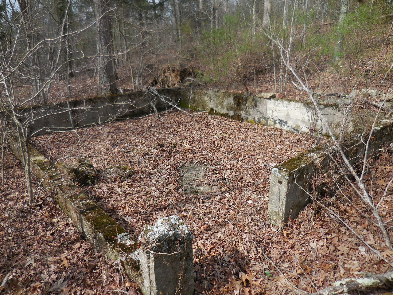
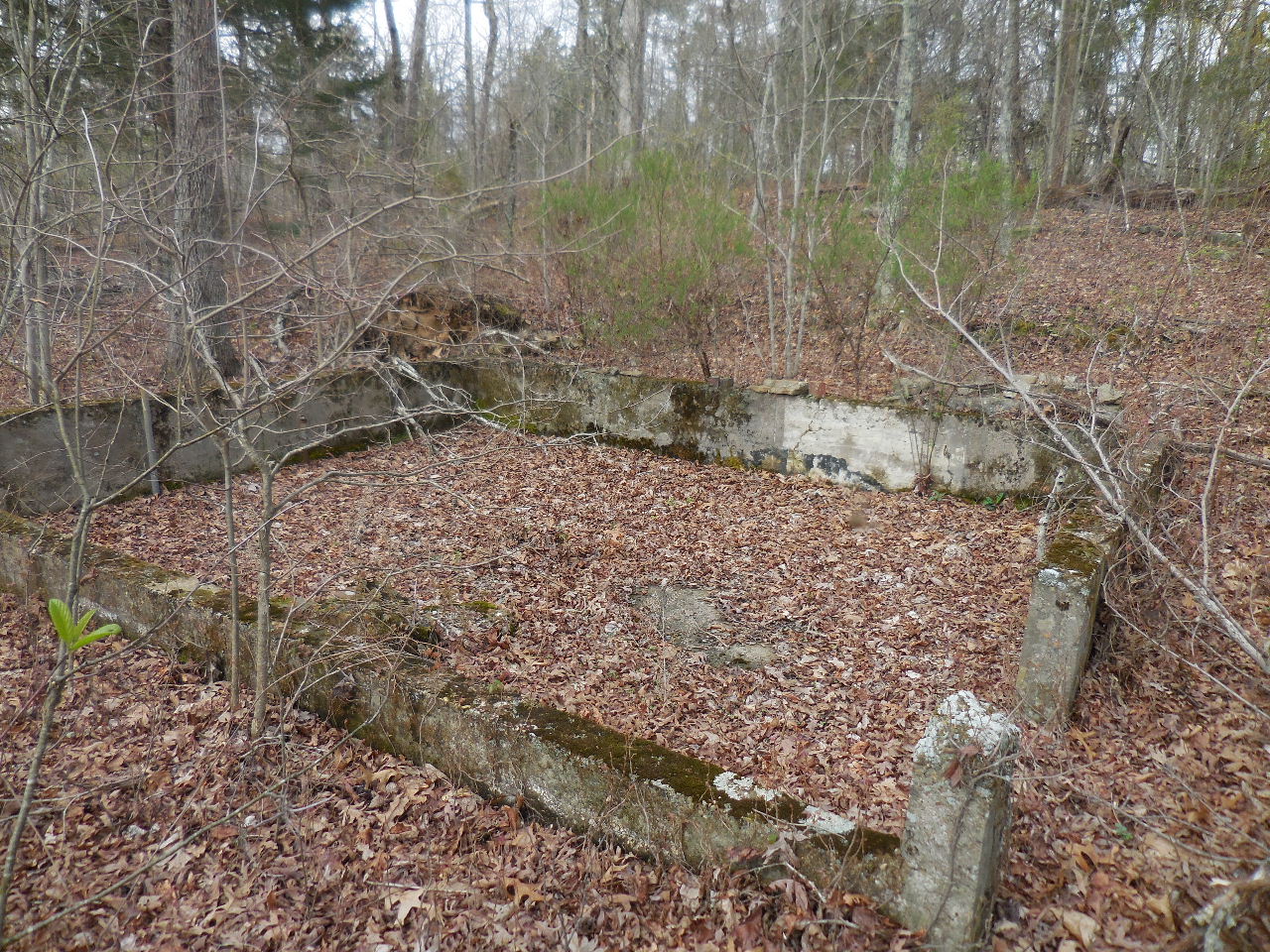
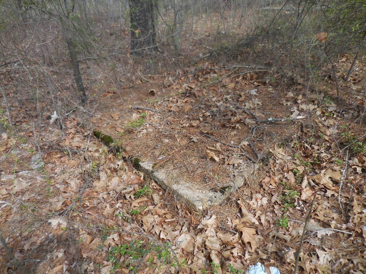
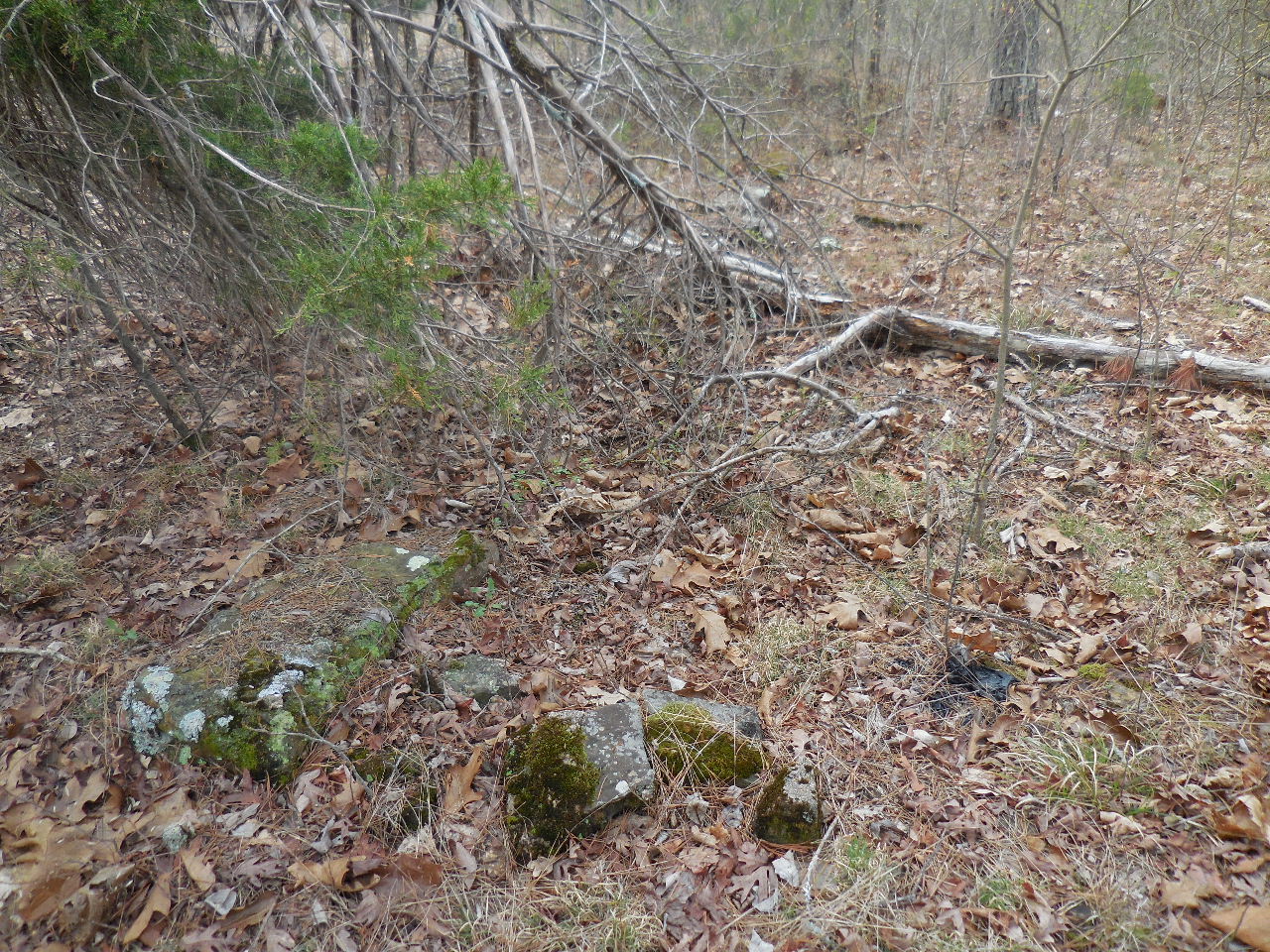
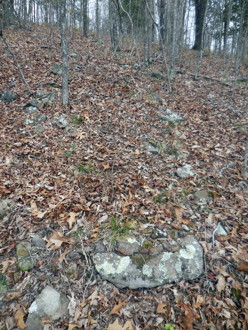
It originally included more than 40 structures including four old wells, a stone and cement structure that
possibly housed the camp dining hall and kitchen and stone retaining walls below many of the stuctures. Some of the foundations are in good condition.
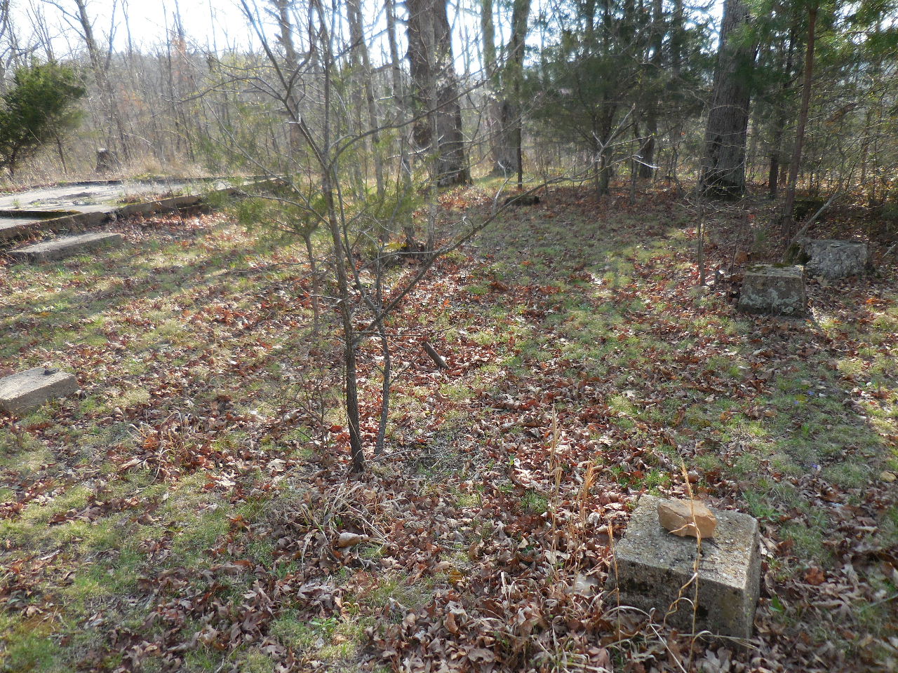
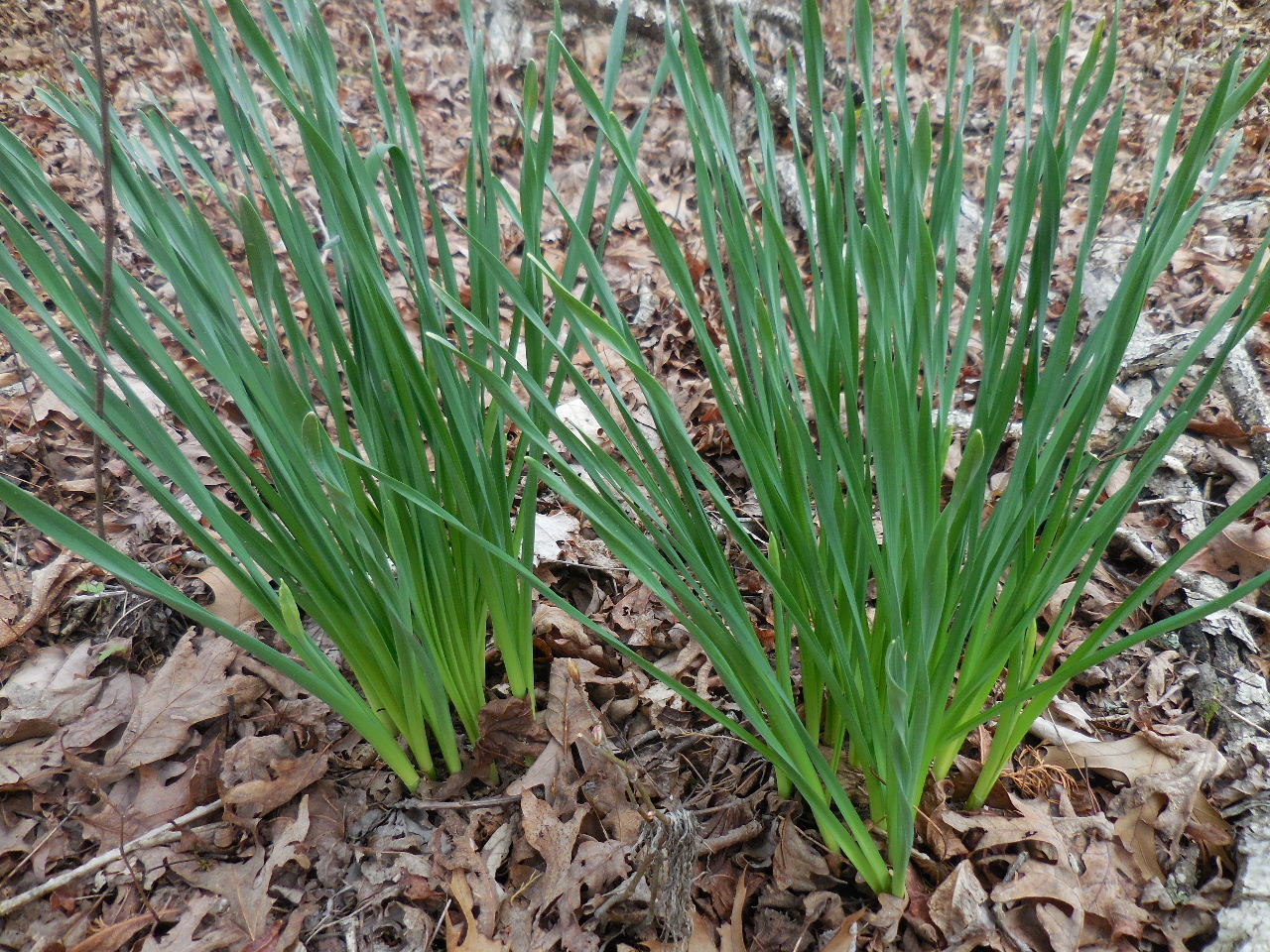
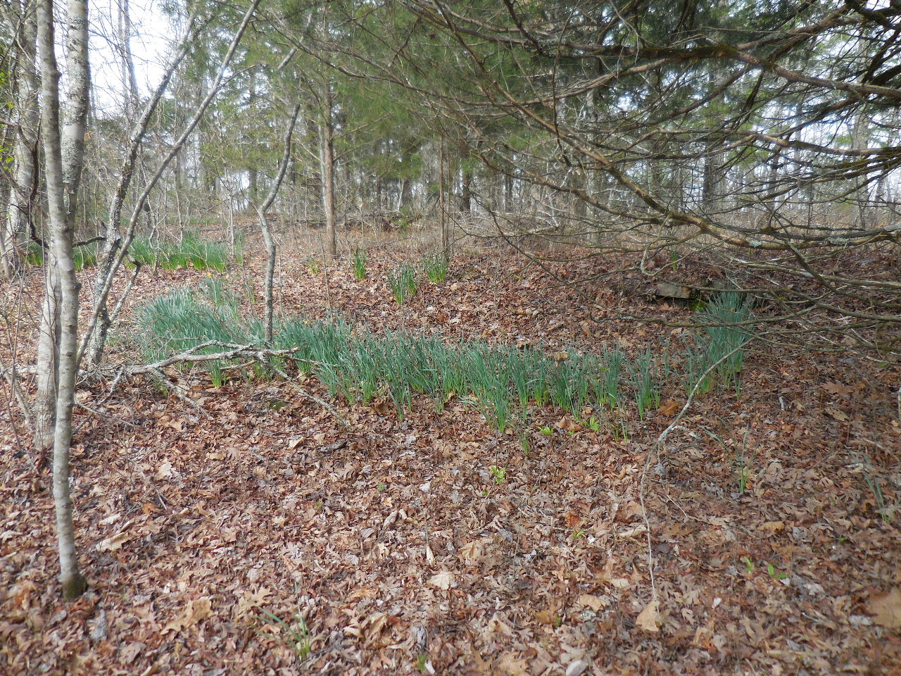
Jonquils can be found at the CCC site, which are not native to this area mark old pathways and meander along the stone retaining walls.
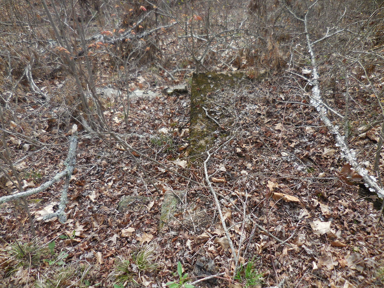
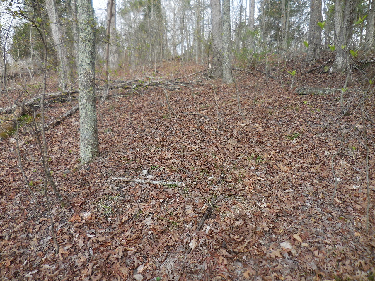
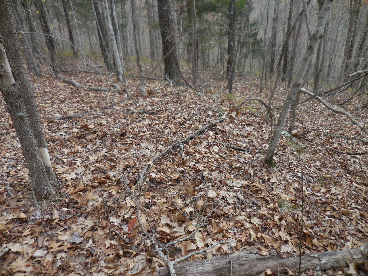
NOTE: In my attempt to locate the camp, some location of structures were hard to determine, with only a slight visual of a rock foundation. There is
evidence of a power line coming from the Pelsor area. Some of the concrete foundations have steel pipes risers which indicate water and gas
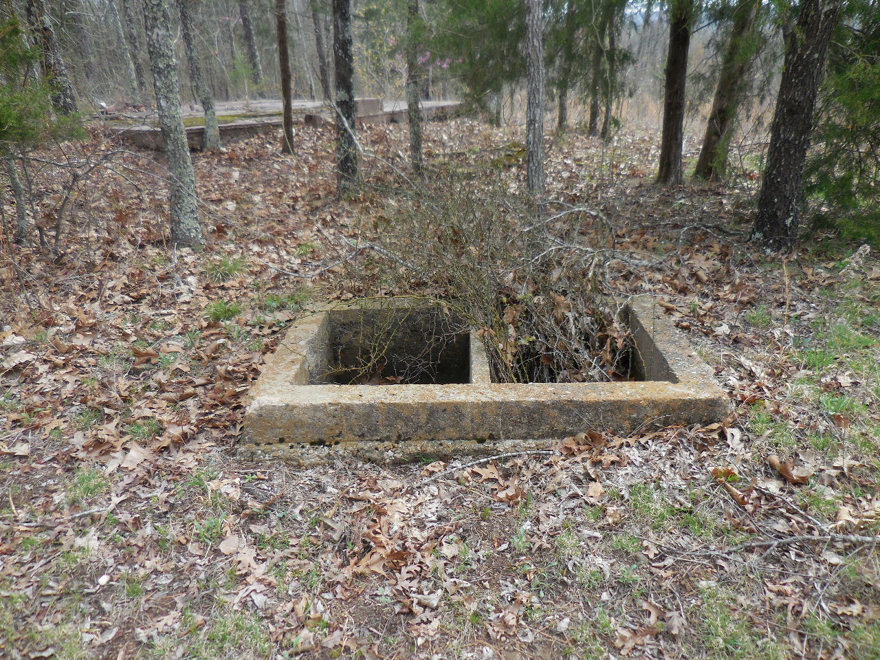
were provided? I found several of the wells and at the very SE corner of the site, a spring encased in a concrete box, that was still running. Lots of
rock walls, not shown, and rows and rows of Jonquils that were blooming at the time of my visit on 4/8/15.
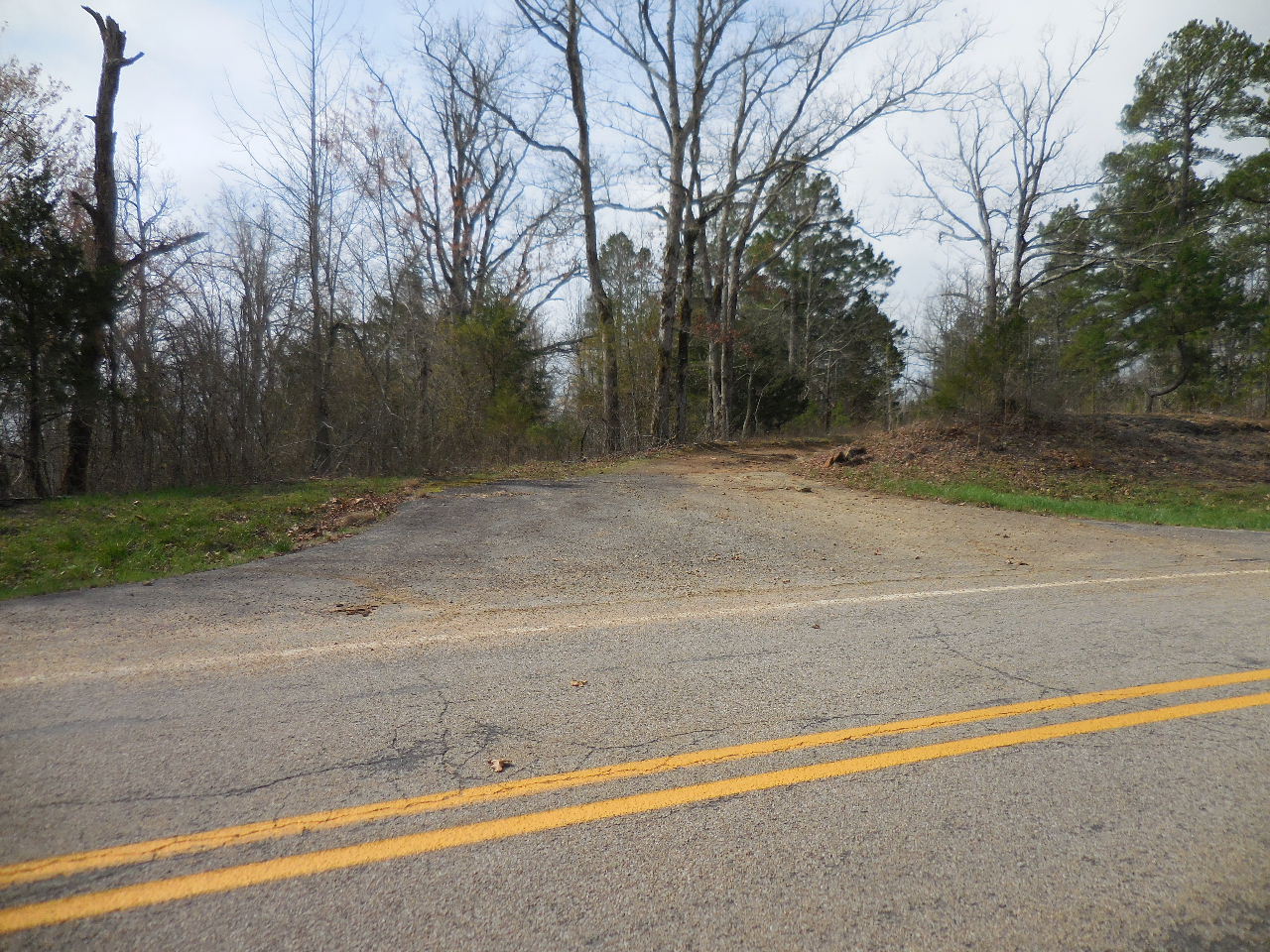
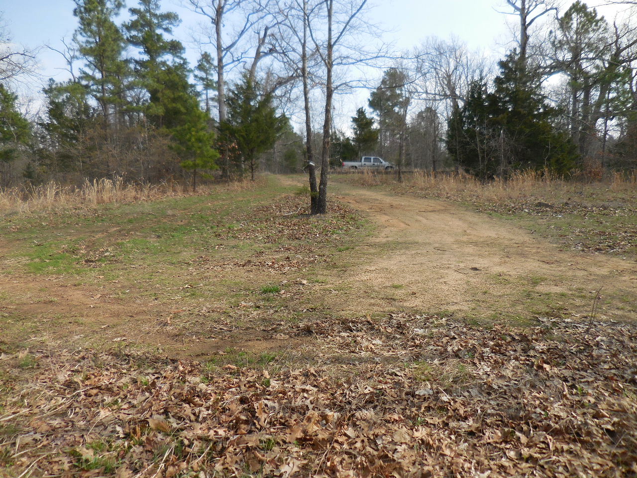
Entrance off of Hwy. 123
(1-Mile East of Pelsor)
35.71986°, 93.11255°
.jpg)
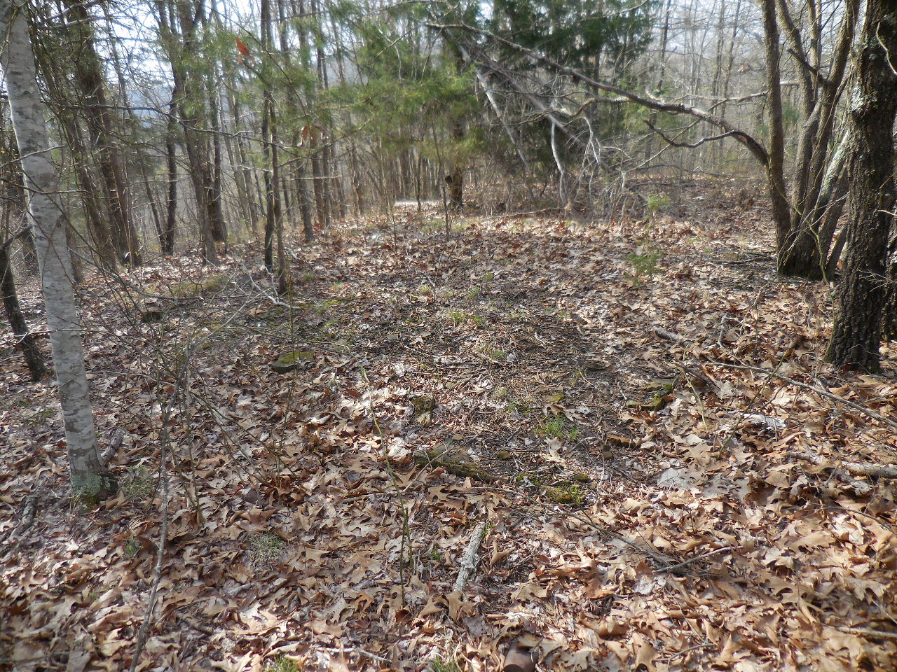
Approx. Limits of CCC Camp
The camp is located in the NE 1/4 of the SE1/4
of Section 4, T-12-N, R-20-W, Pope County, AR.
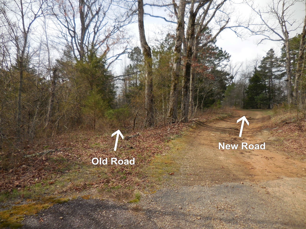
Old and New Road into Site
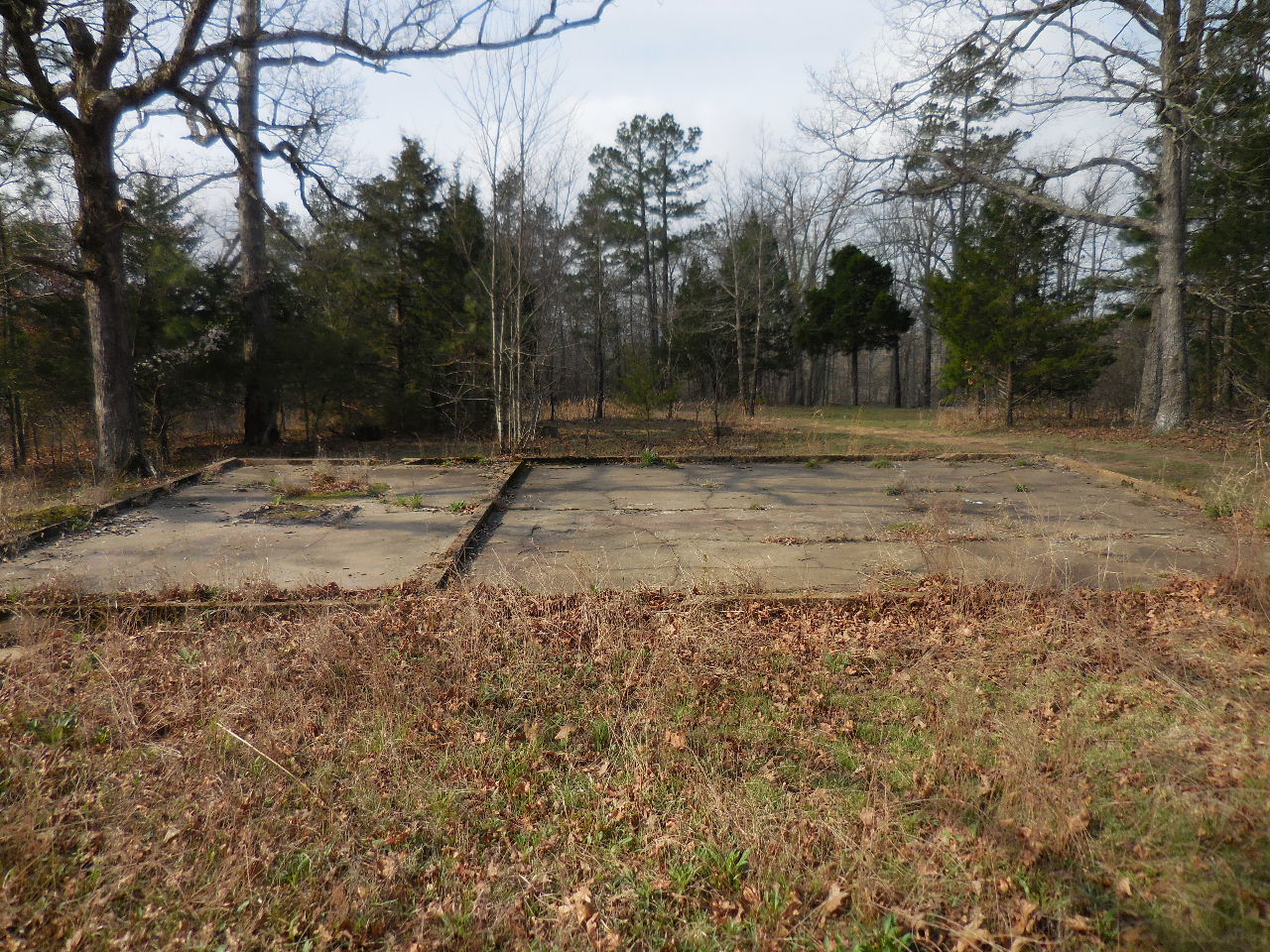
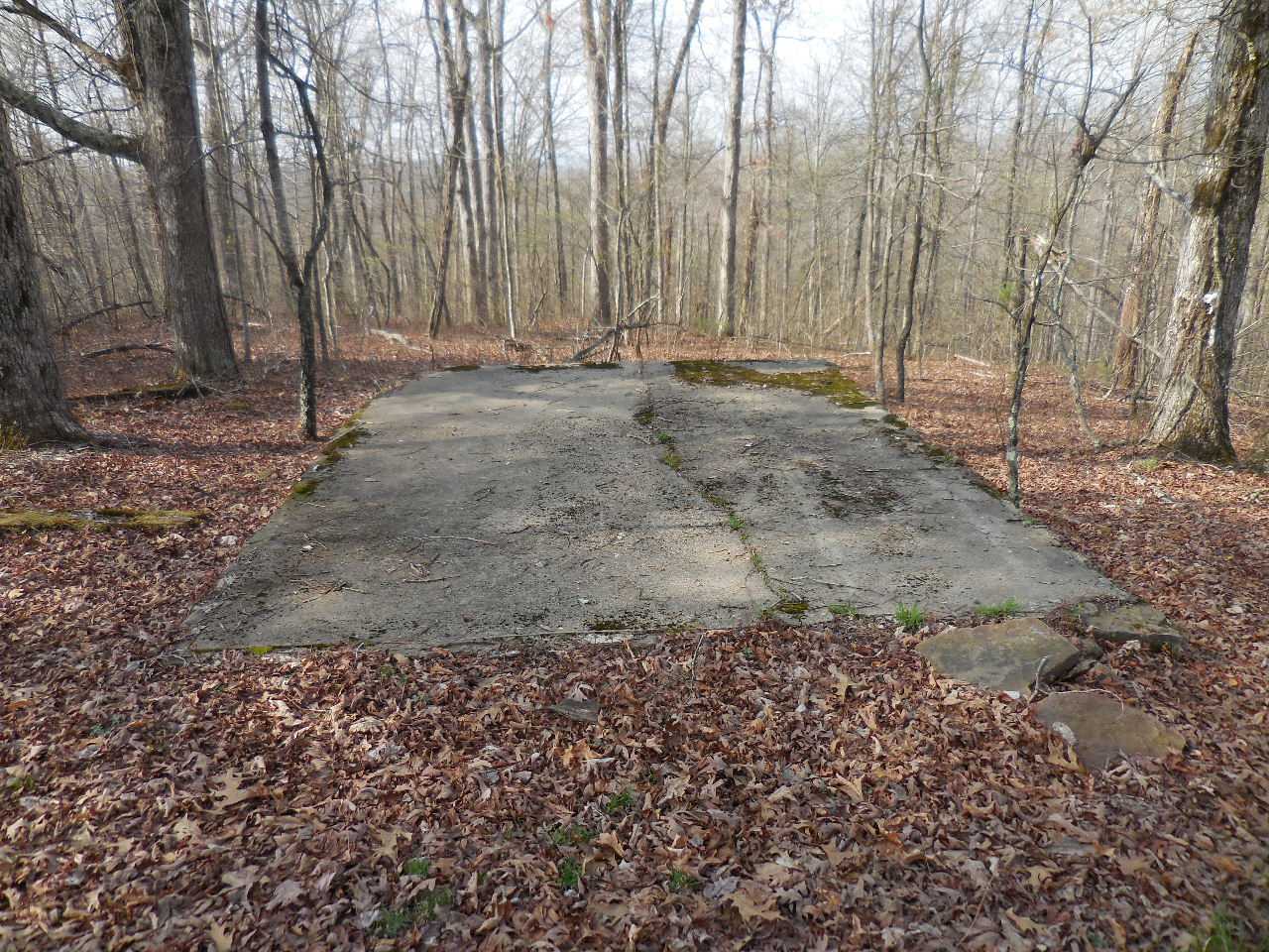
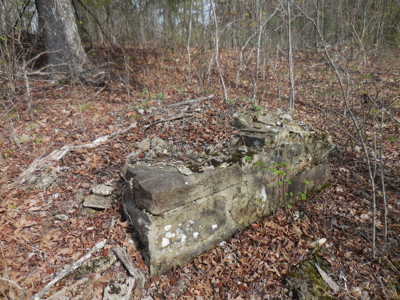
"A" Conc. Foundation (Looking south)
Thought to be the kitchen.
35.71877°, 93.11326°
"A" (33'x21') (Looking north)
"A" (Looking west)
"B" Six Conc. Piers
35.71873°, 93.11328°
"B" One of the conc. piers (1'x1')
Located just south of "A"
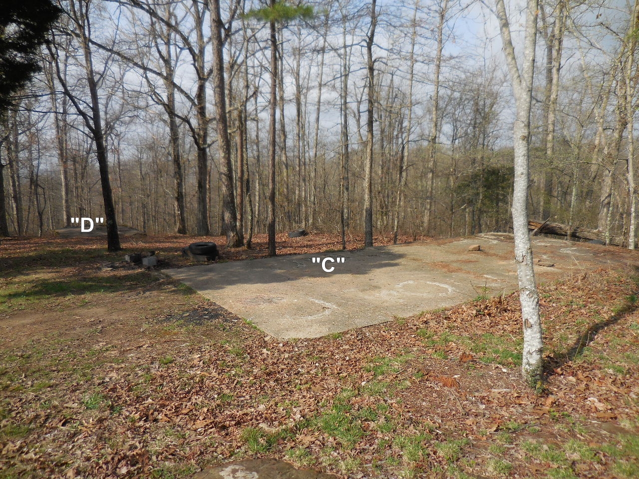
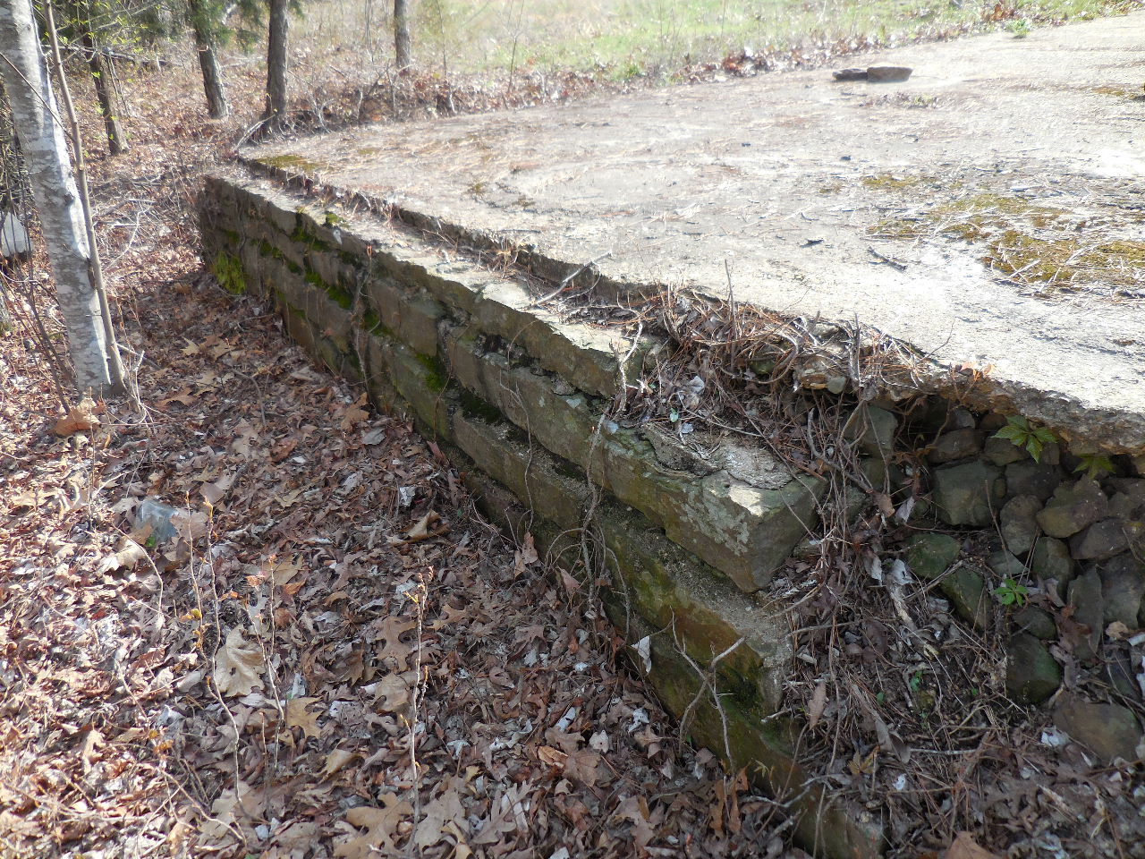
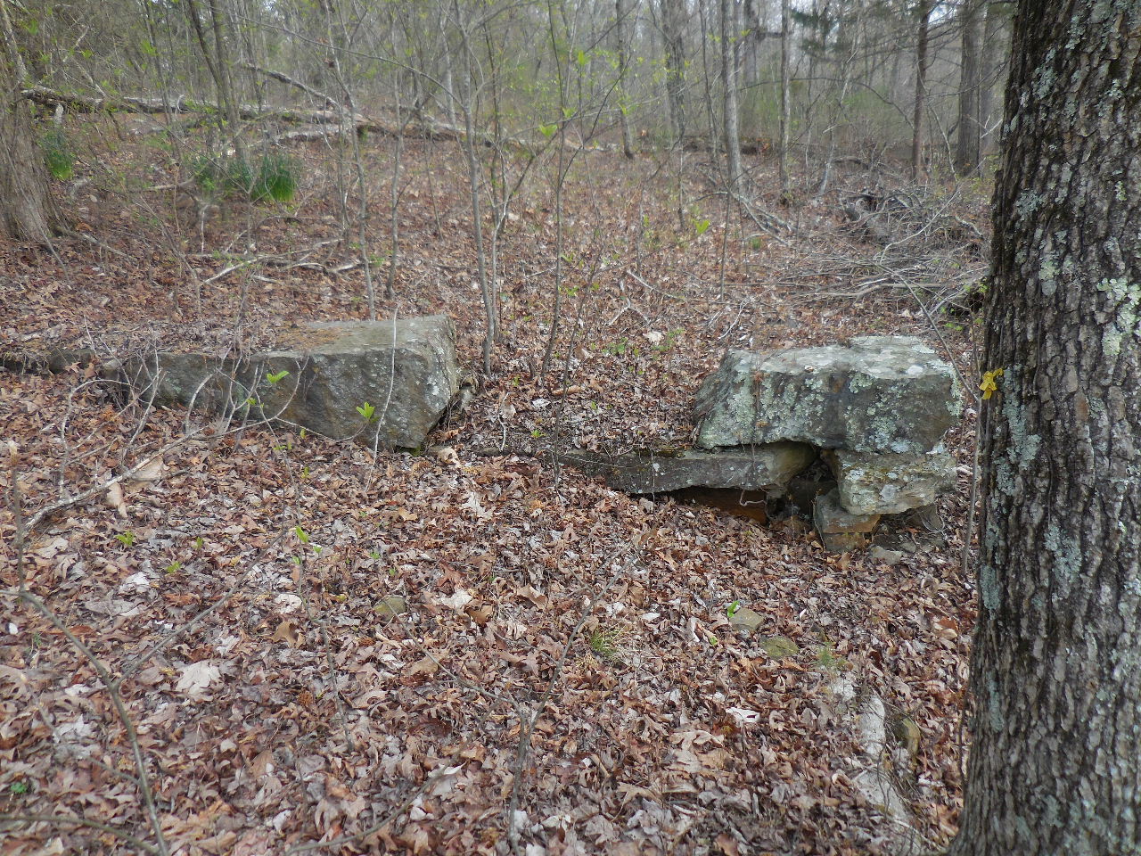
"C" and "D" (Looking south)
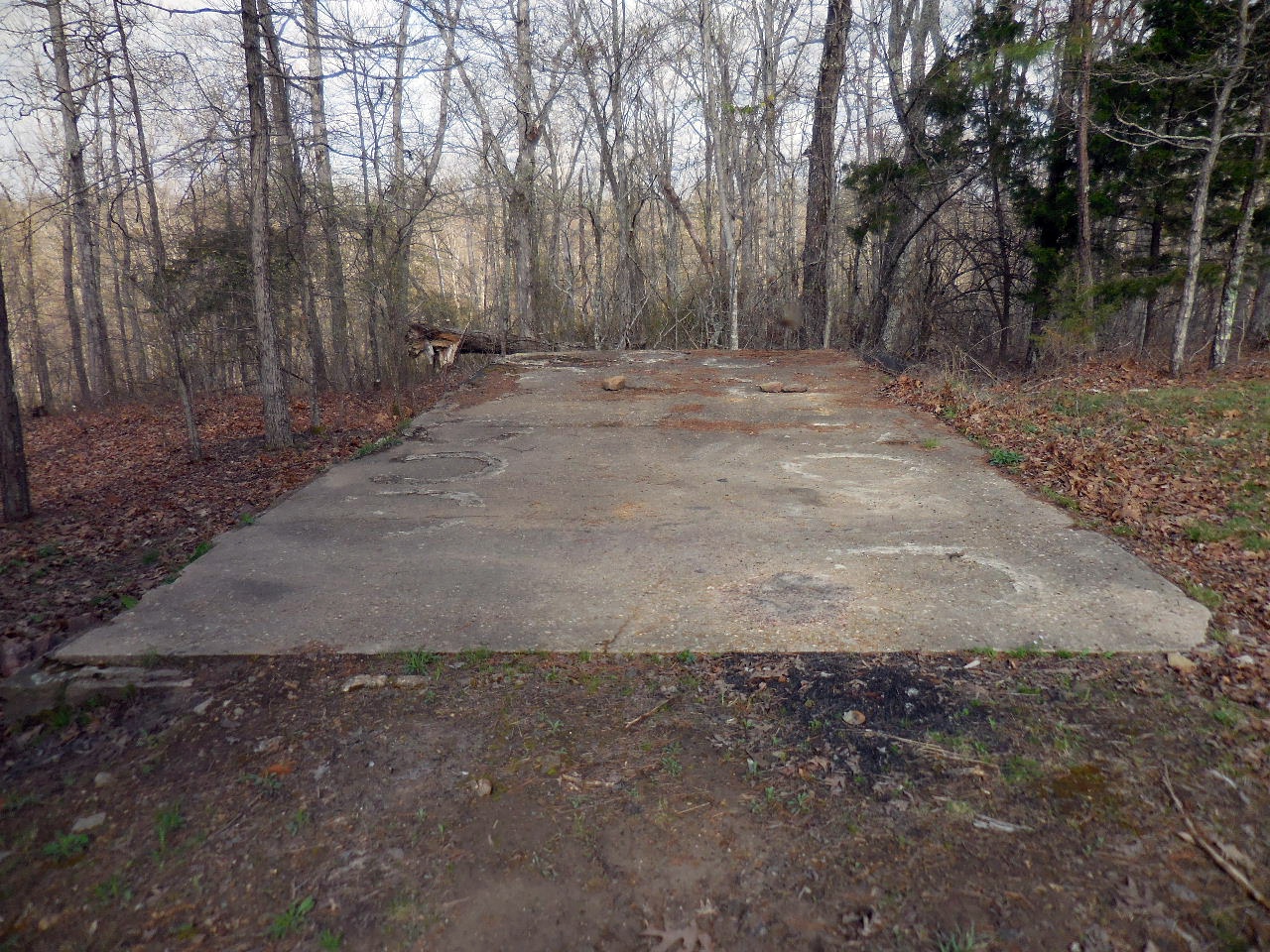
"C" Conc. Foundation (Looking west)
35.71857°, 93.11365°
(33'x15')

"C" Note concrete rings?
"C" West side of foundation
"D" Conc. Foundation (Looking south)
35.71841°, 93.11368°
"D" West side of foundation
(12'x15")
"D" South side of foundation
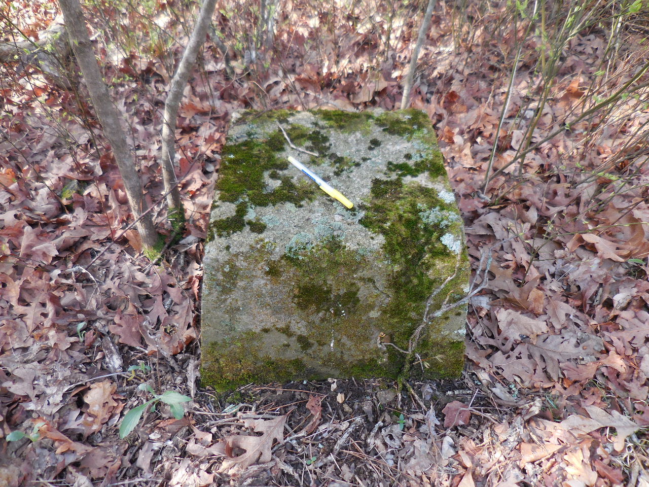
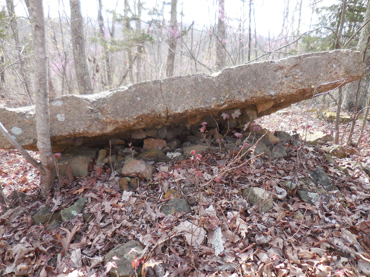
"E" Rock Foundation
35.71824°, 93.11356°
(12'x15')
"F" Buried Rock Foundation
35.71840°, 93.11315°
Center of circle New Road (Looking north)
35.71859°, 93.11346°
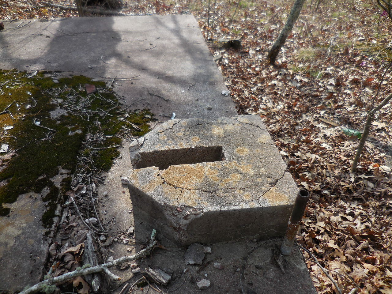
"G" Conc. Pier (2'x4')
35.71860°, 93.11308°
.JPG)
"G" Conc. Pier (Side view)
.JPG)
"G" Note the nut and bolt
(There are four, one at each corner)
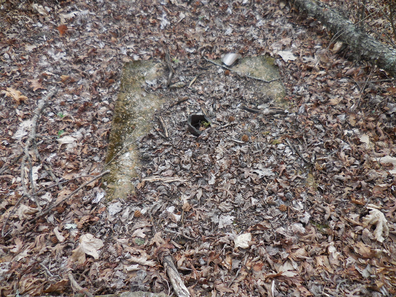
"H" Rock Foundation (12'x12')
"I" (2'x2')
Appears to be a dug well?
"J" Conc. Slap (6'x6')
Lying on a pick of rocks?
35.71869°, 93.11297°
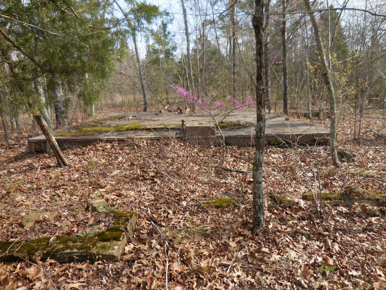
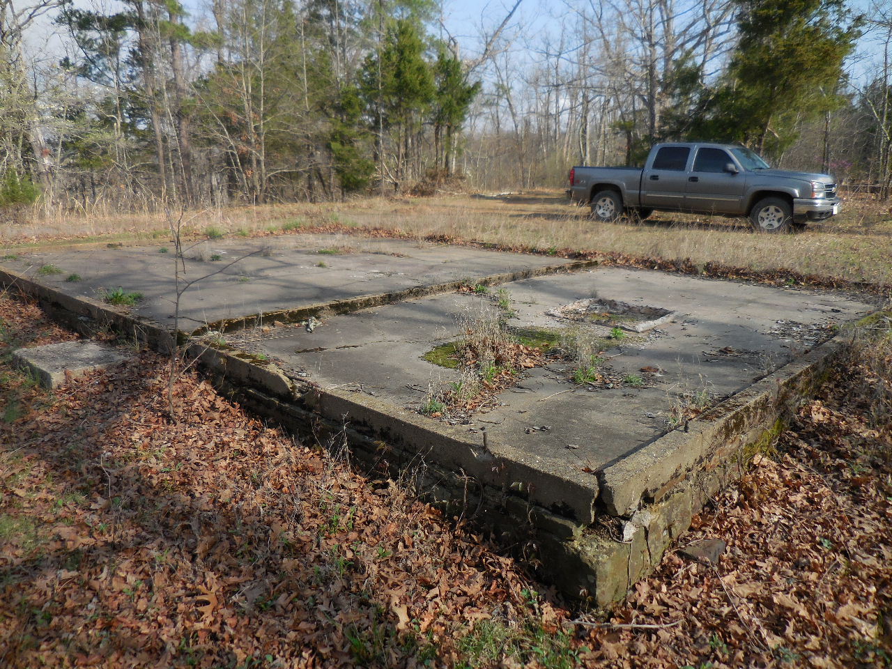
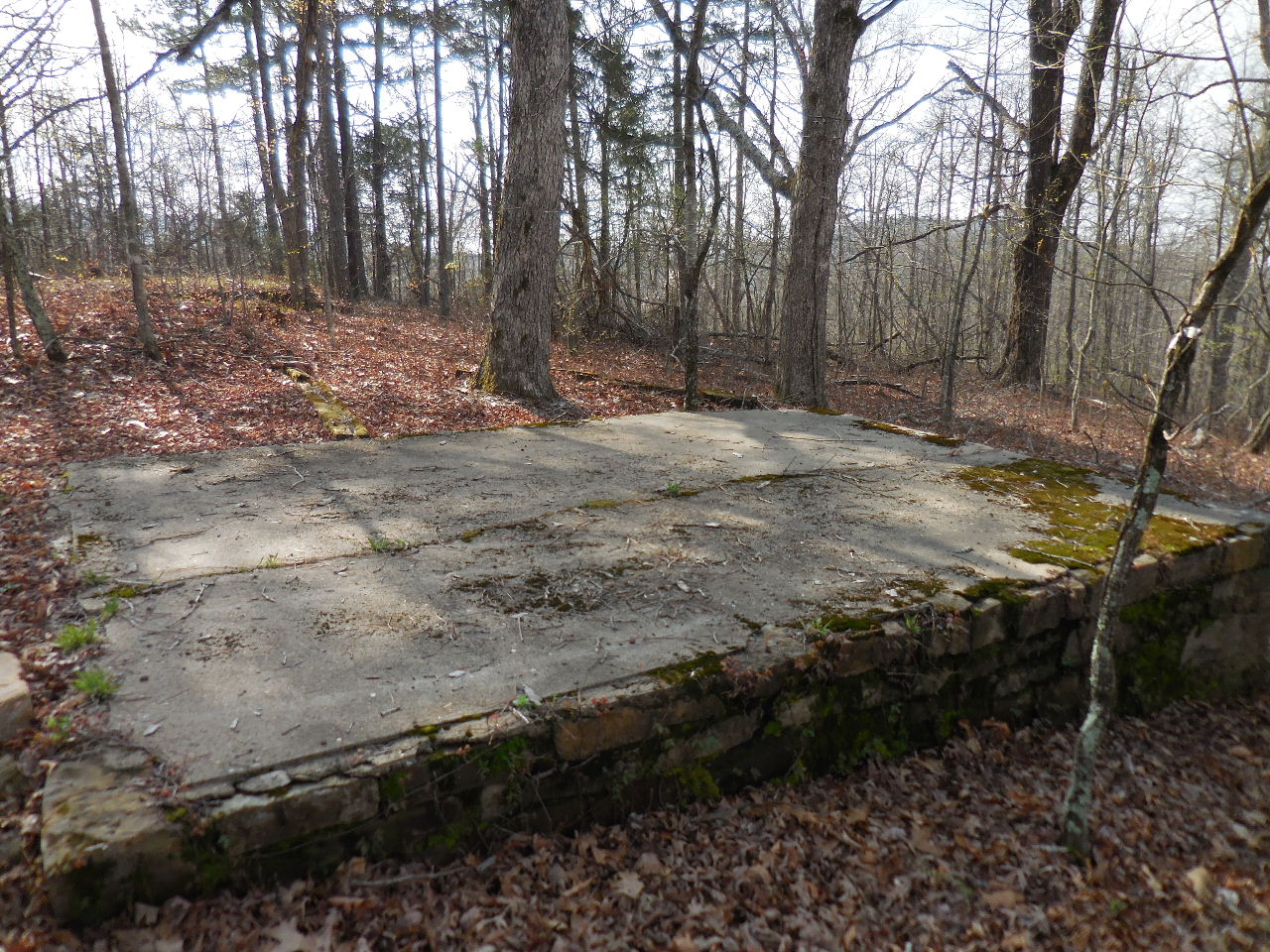
"K" Conc. Foundation (Looking north)
35.71900°, 93.11312°
(Showing rock porch foundation on front)
"K" This is one of the largest structures on site.
The conc. slab alone is 21'x28'
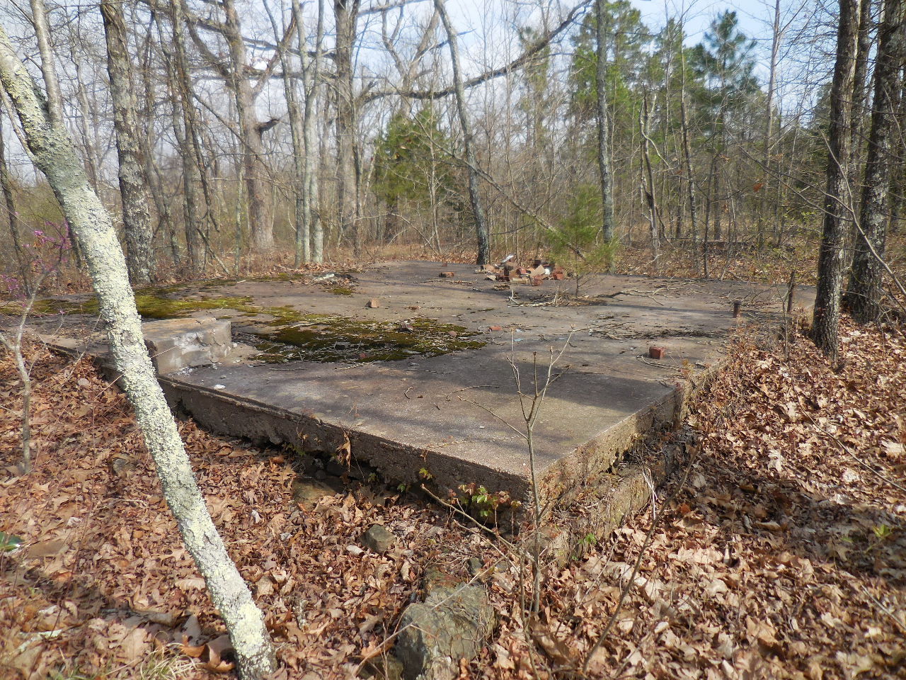
"K" This (?) is located on the south end of the
slab with a pipe riser next to it.

"K" Two other pipe risers on the slab.
One appears to be a gas riser?
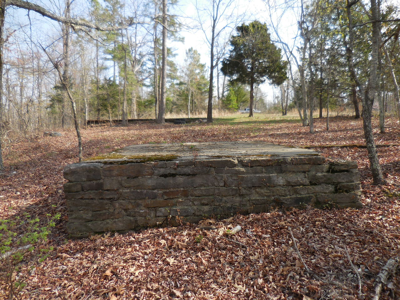
"K" North end (6'x8' Conc. on rock foundation)
"K" Some of the rock foundation between
the two conc. slabs (20'x50')
"L" Conc. & Rock Foundation (Hard to see)
35.71893°, 93.11290°
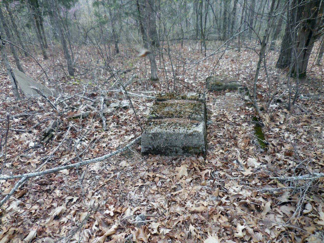
"M" Conc. Foundation (6'x8')
35.71896°, 93.11288°
Misc. Rock Foundation
(Unable to determine size)
Broken off pipe in concrete?
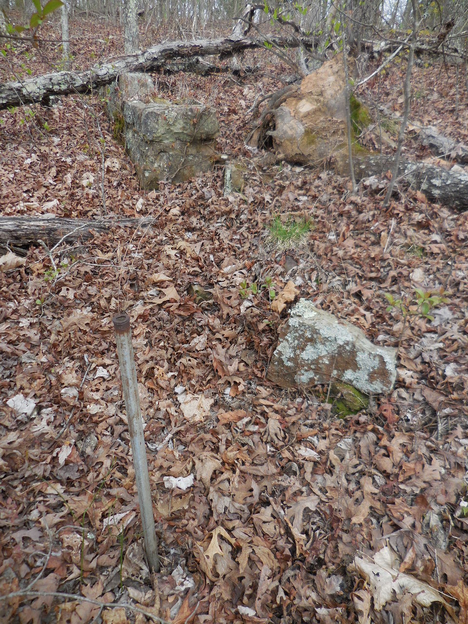
Pipe driven next to rock foundation?
Jonquils not yet in bloom
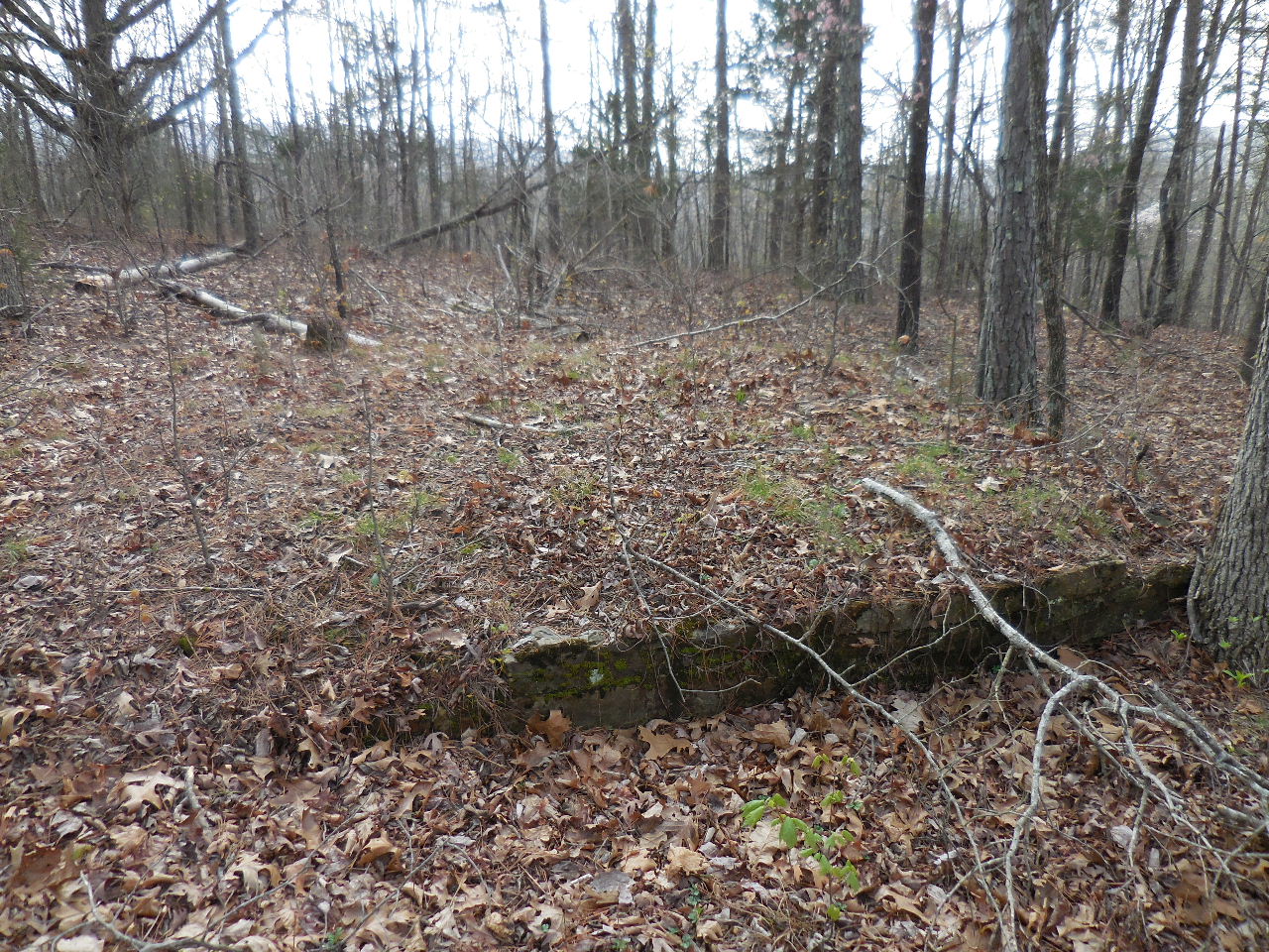
"N" Rock Foundation (Hard to see) (24'x24')
35.71904°, 93.11259°
"O" Conc. Foundation with Walls (12'x15')
35.71924°, 93.11248°
"O" Conc. Foundation with additional
Rock Foundation on uphill side. (15'x15')
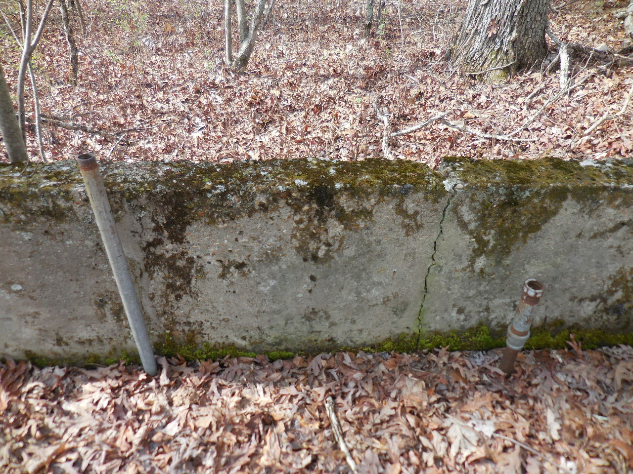
"O" Two pipe risers on south wall. The one on
the right appears to be gas?
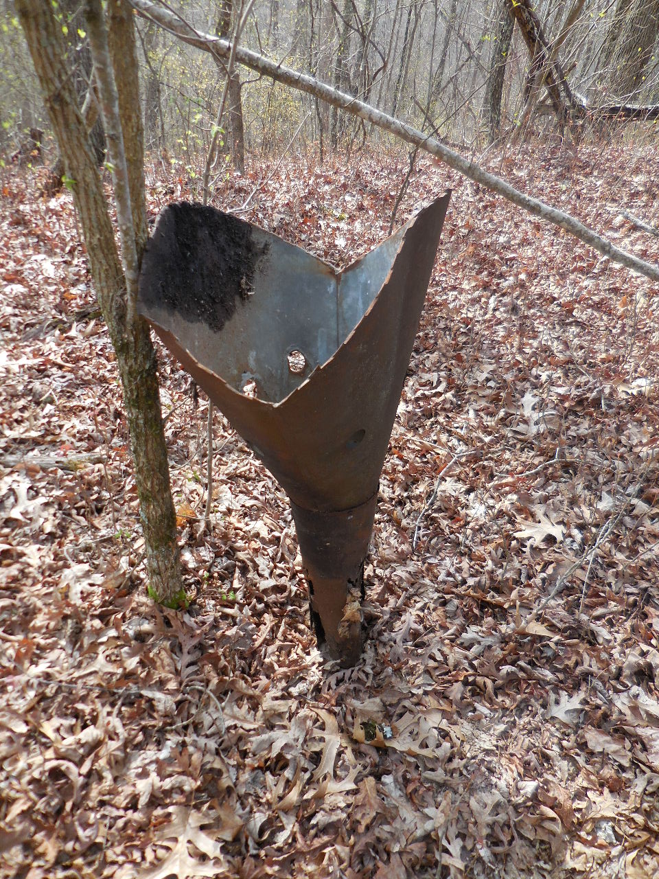
Flue or funnel or something?
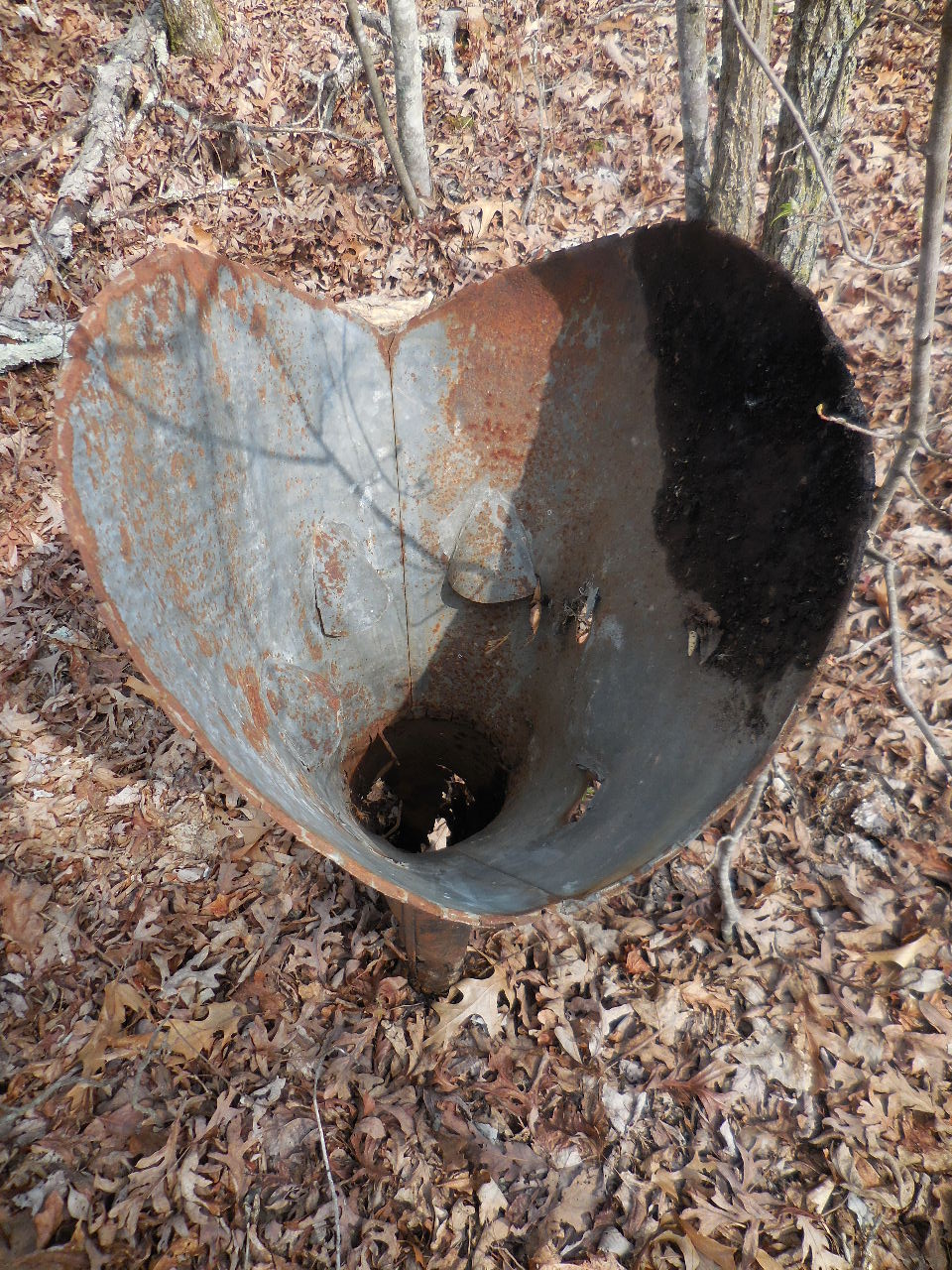
Looking down into it.
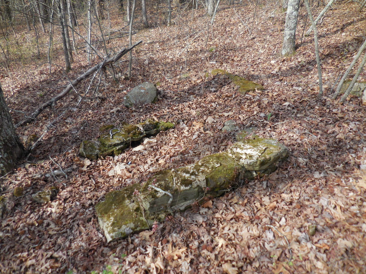
"P" Rock Foundation (18'x20')
35.71938°, 93.11245°
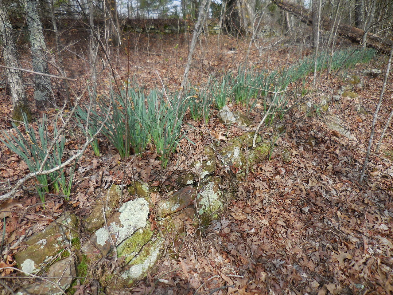
Jonquils along the top of some of the rock walls.
More Jonquils.....
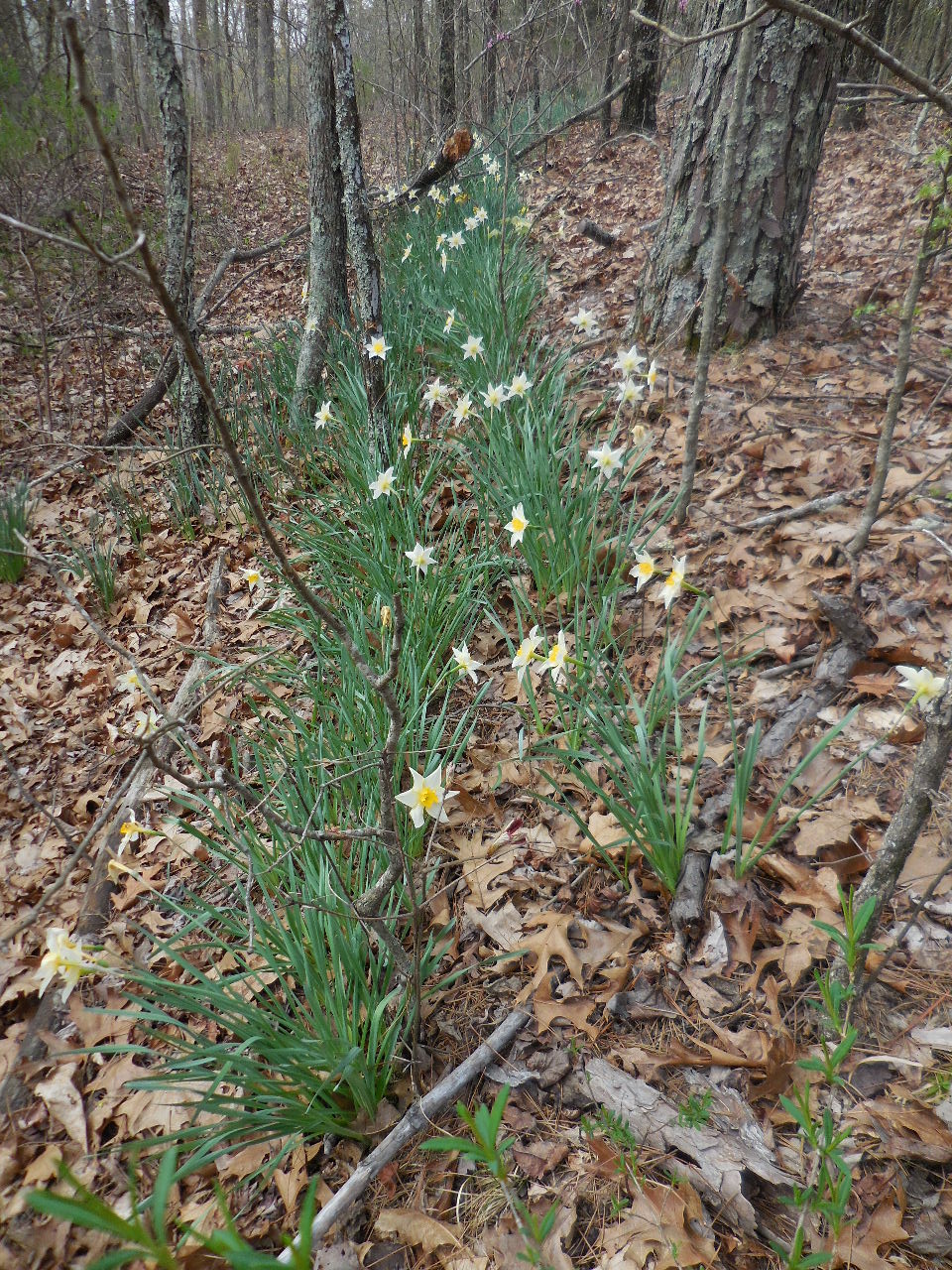
These Jonquils had flowers....
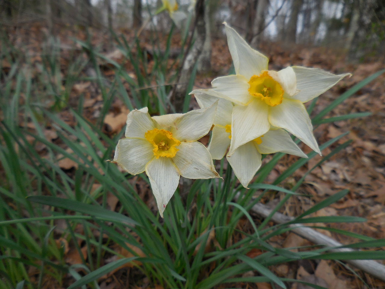
Hard to imagine that these were planted in the '30's
and have come up every year since?

Rows everywhere.....
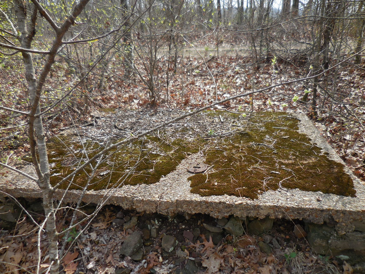
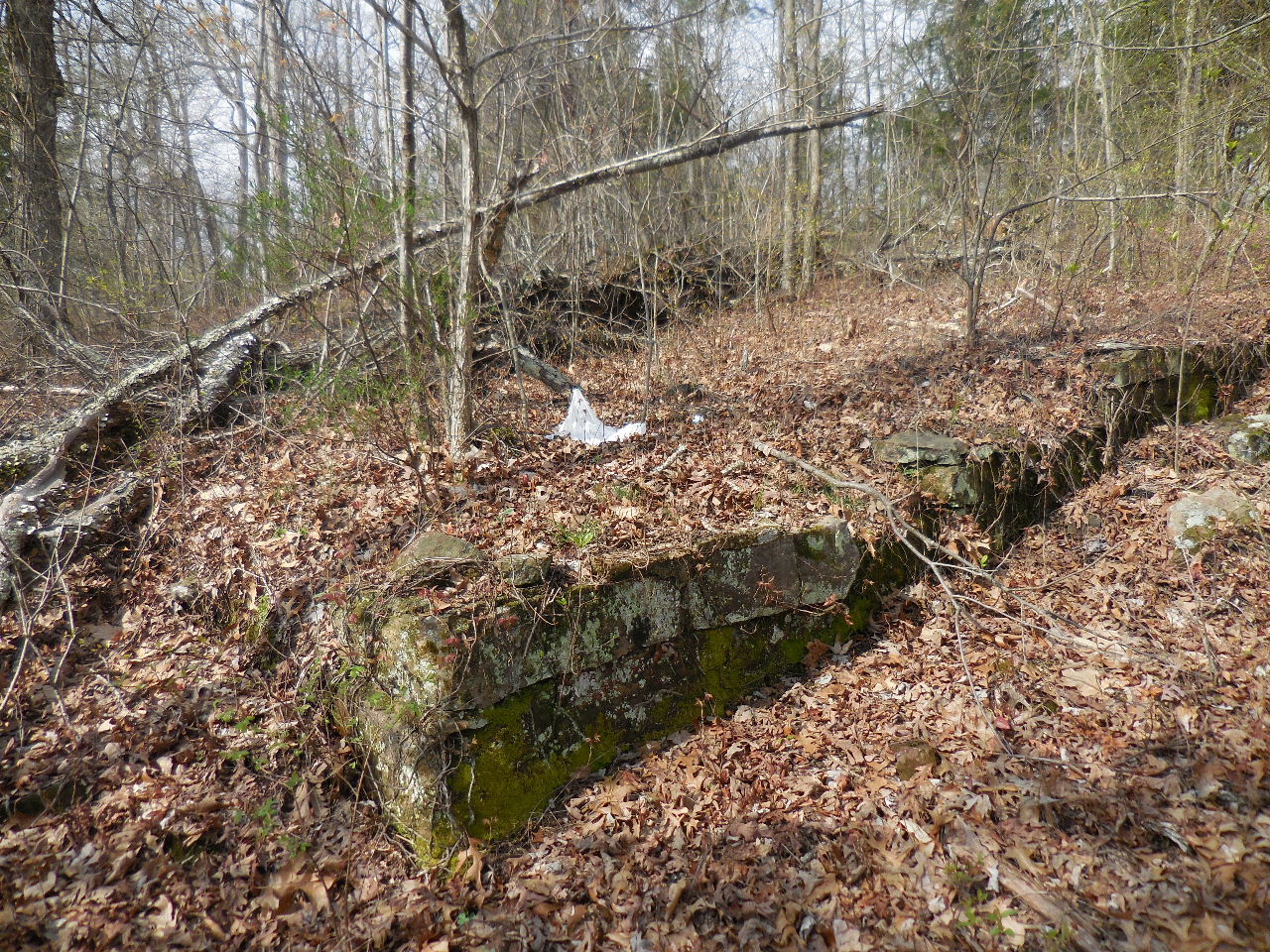
"R" Conc. Slab (6'x8') with
"S" Rock Foundation attached (15'x20') Not shown.
35.70904°, 93.11338°
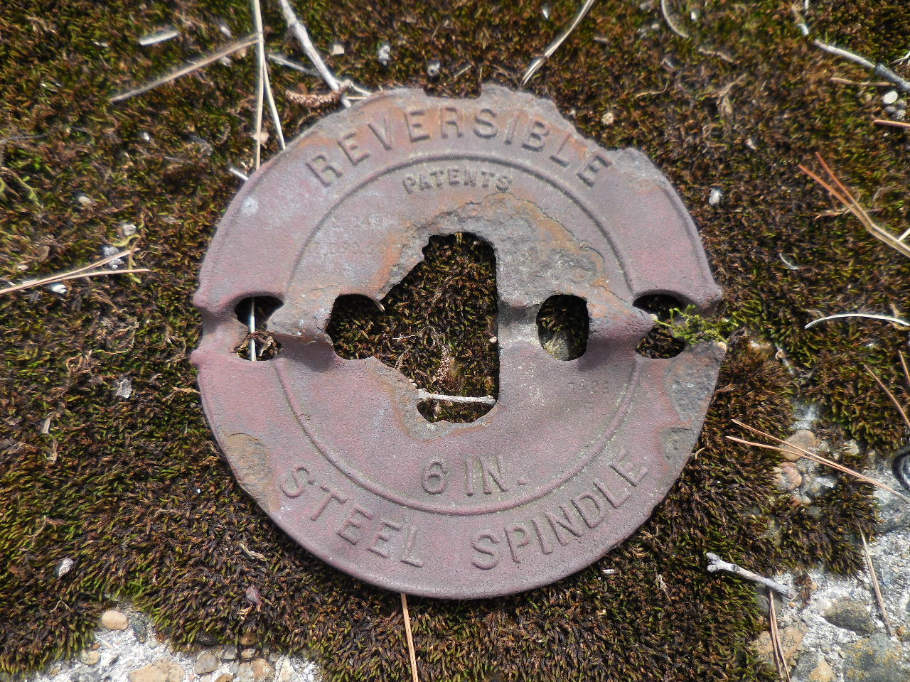
6" Steel Spindle for wood stove
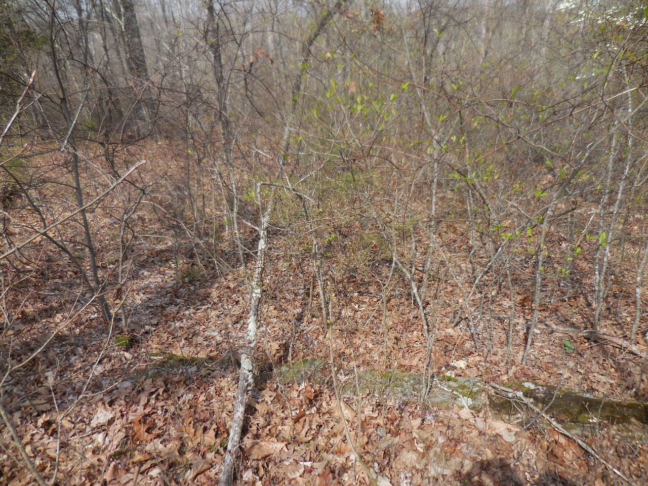
"T" Buried Rock Foundation (15'x15")
35.71917°, 93.11334°
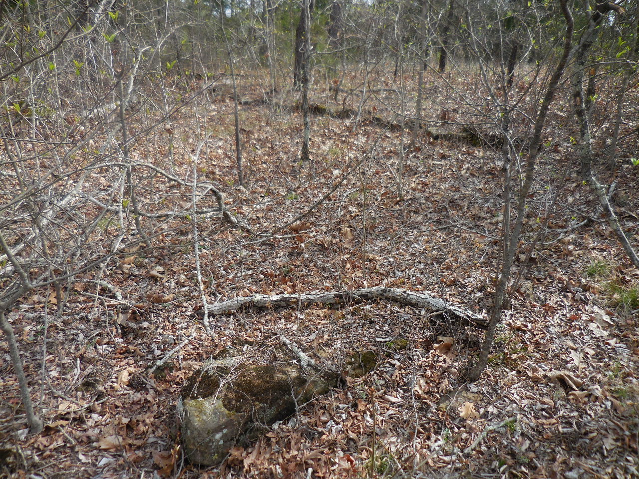
"U" Buried Rock Foundation (15'x15')
35.71926°, 93.11335°
"V" Conc. Foundation (6'x8') with buried
Rock Foundation (Not shown)
35.71947°, 93.11314°
"W" Buried Rock Foundation (15'x30')
35.71956°, 93.11312°
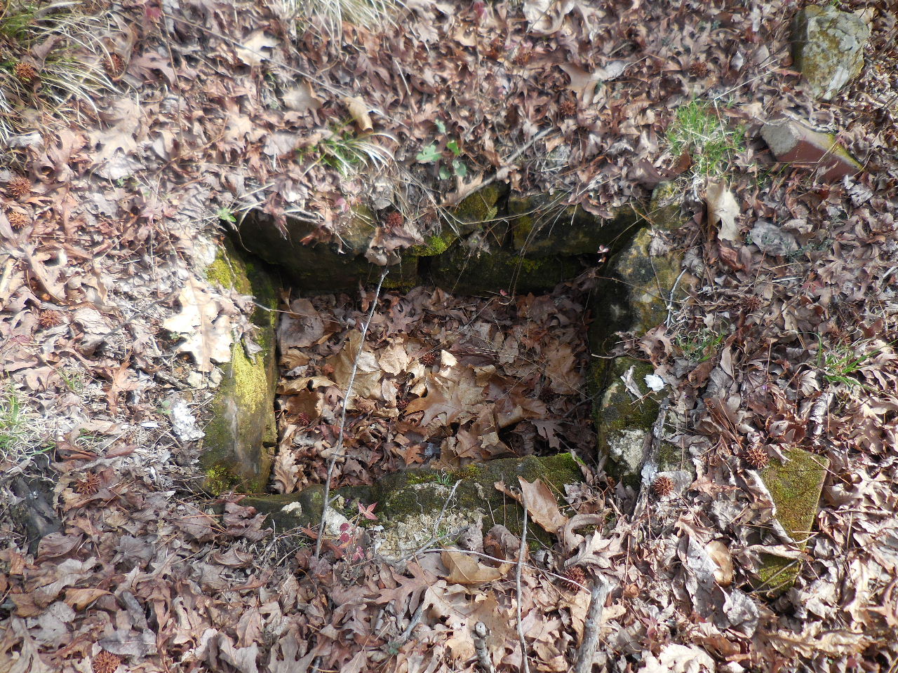
"X" Conc. Water Enclosure?
35.71893°, 93.11324°
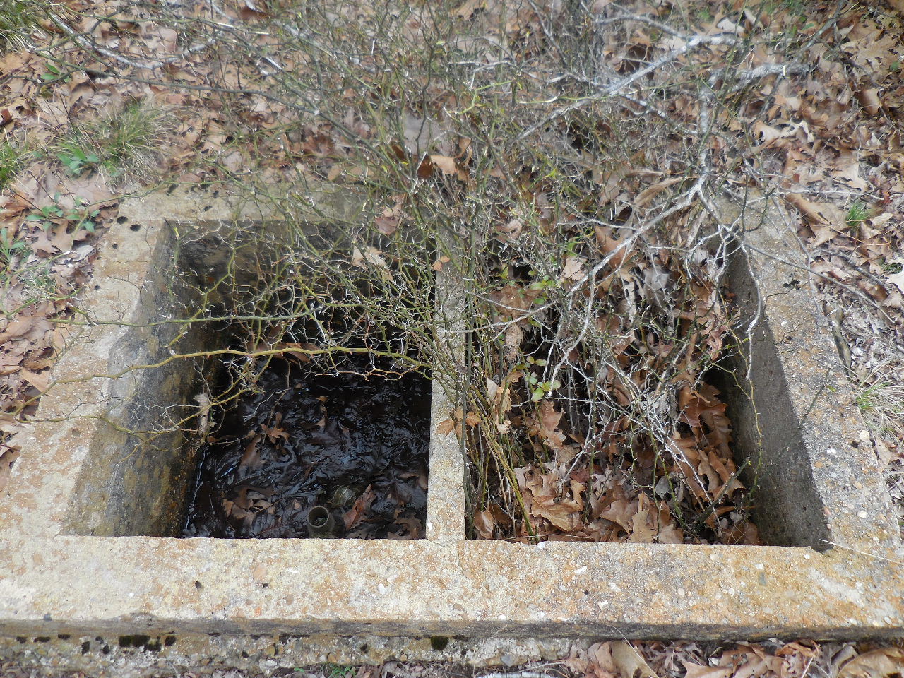
"X" Note pipe on left side.
"Y" Buried Rock Foundation (12'x12')
35.71813°, 93.11309°
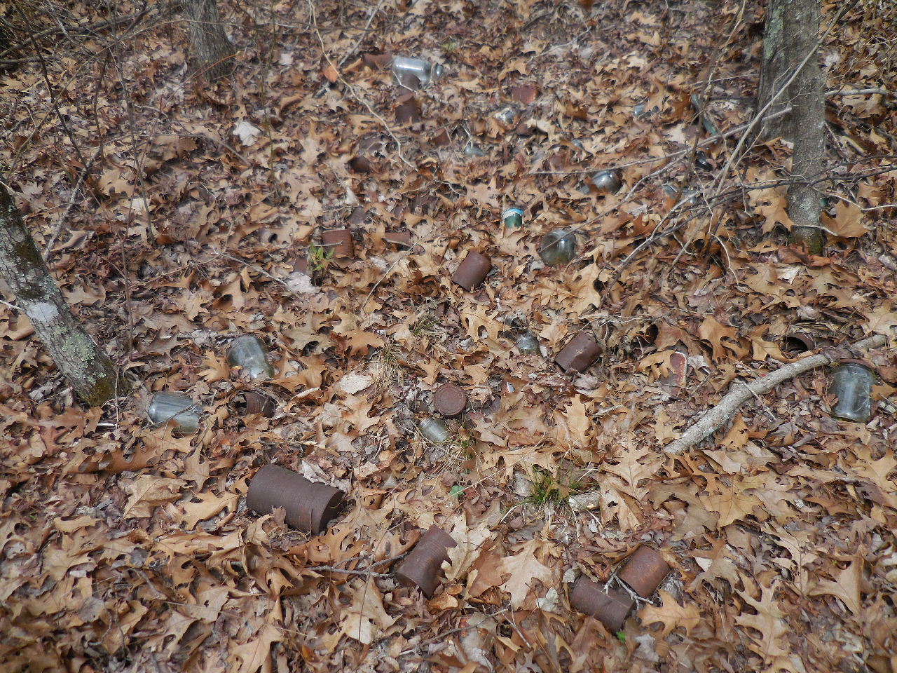
Trash pile between "F" and "Y"
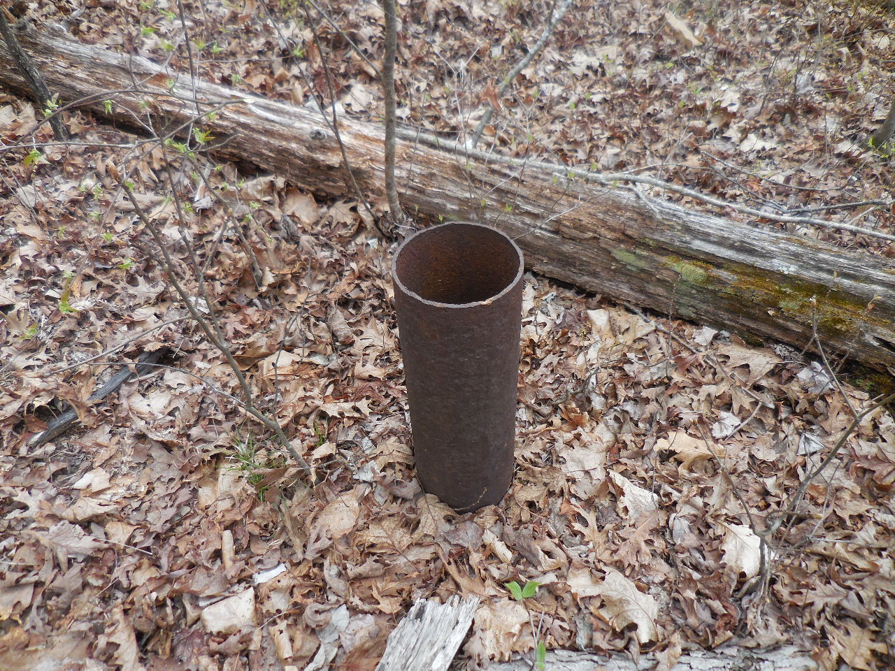
"Q" Water Well Casing
35.71761°, 93.11347°
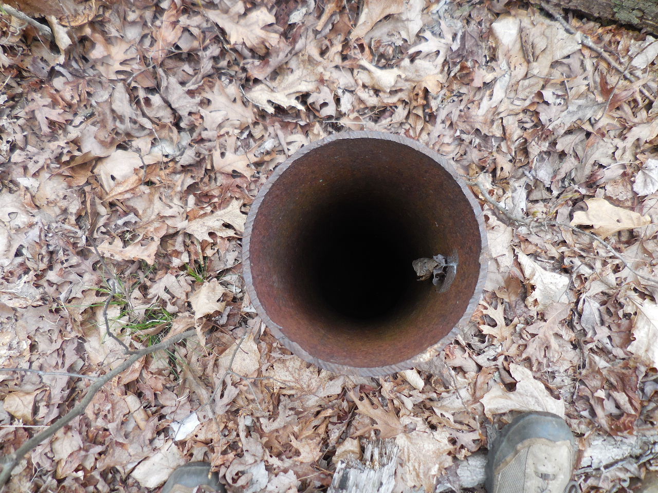
"Q" Looking down into well.

Road leading down to spring
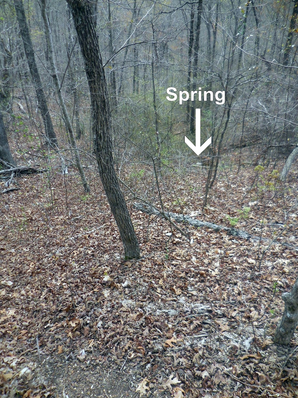
From end of road looking down the hillside.
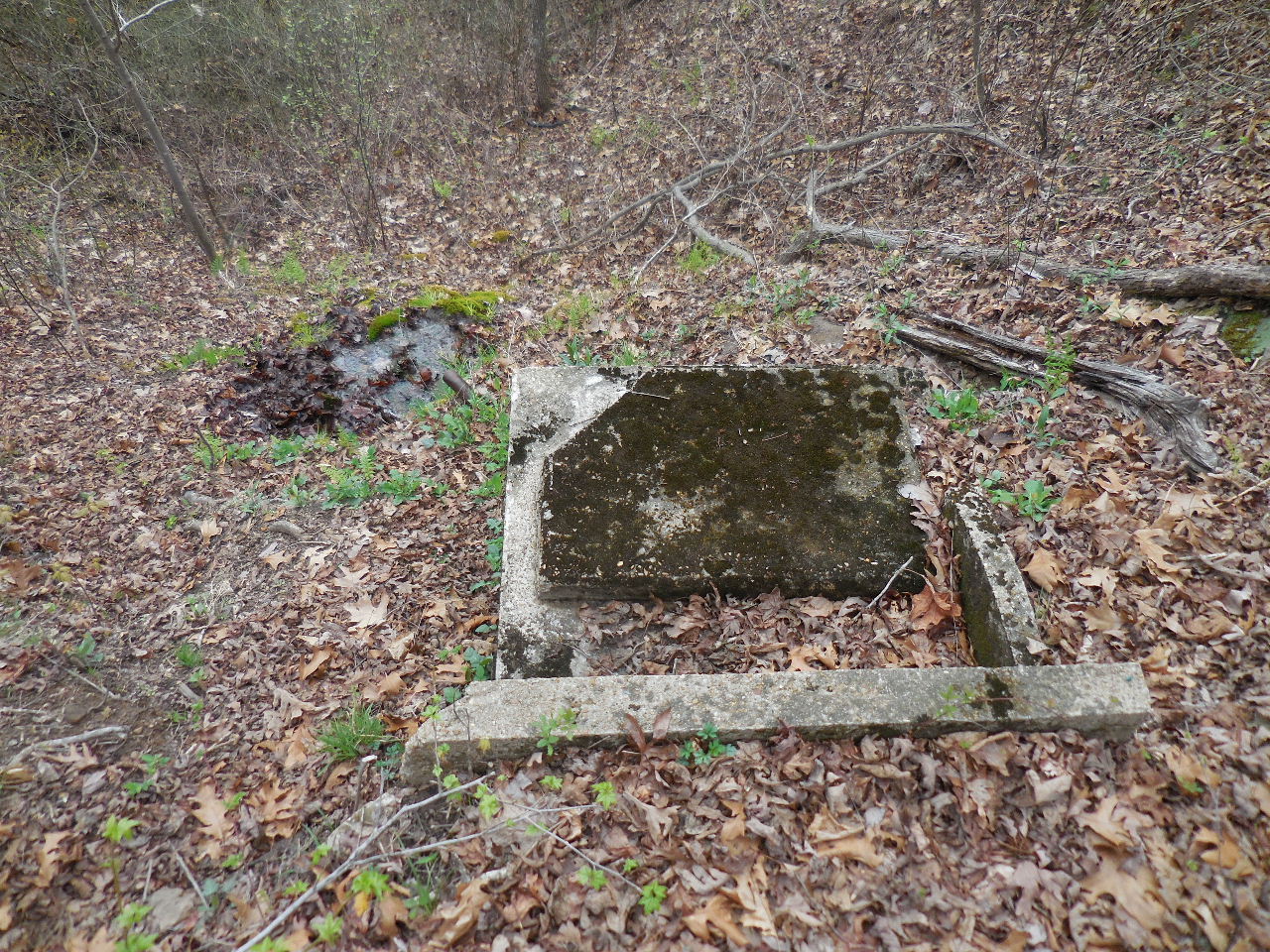
"Z" Top of Conc. Box for Spring
35.71764°, 93.11278°
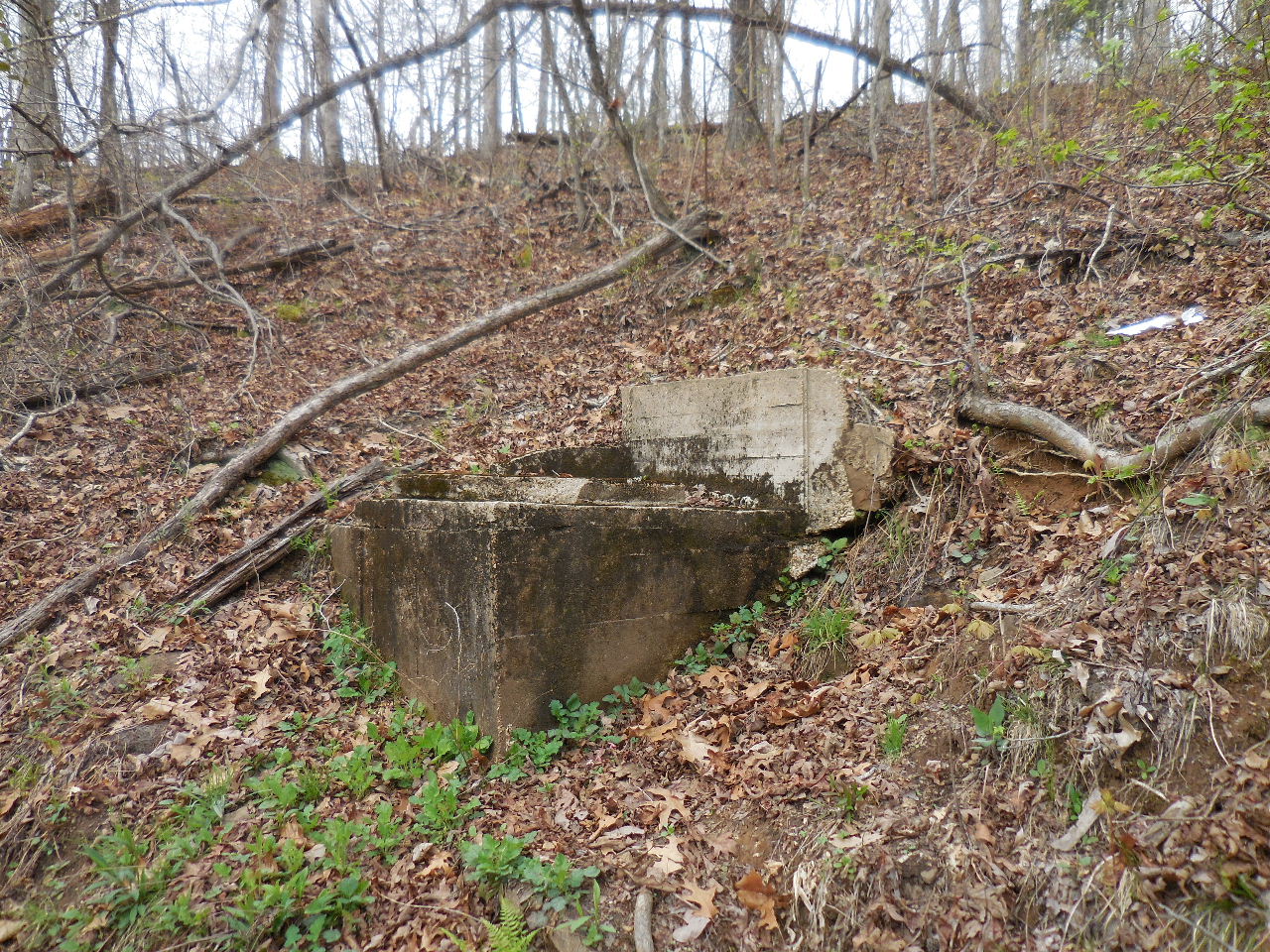
"Z" Side view of Conc. Box
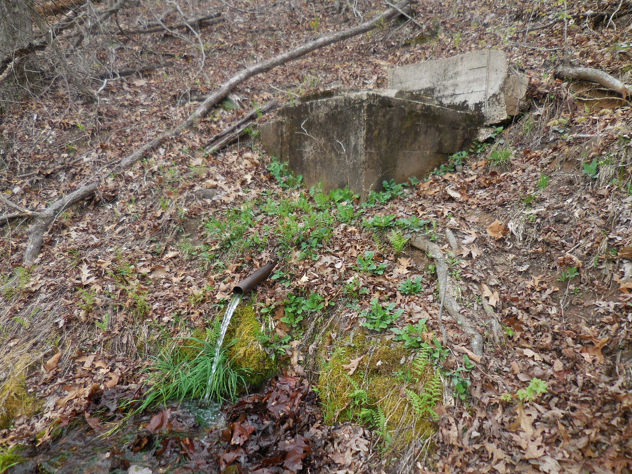
"Z" Flowing Spring

"Z" The water was cold and tasted great!
This is a buried rock pathway that looks like it
heads down towards the spring?
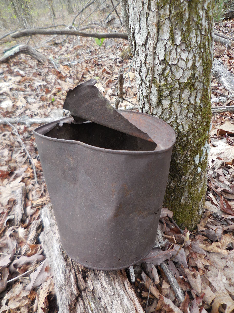
An open gallon can of beans?
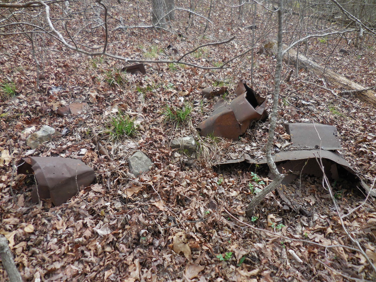
There were lots of trash piles scattered
all over the hillsides.
Arkansas Civilian Conservation Corps
Pictorial Review 1933-1934 Parke-Harker Company, Little Rock, AR
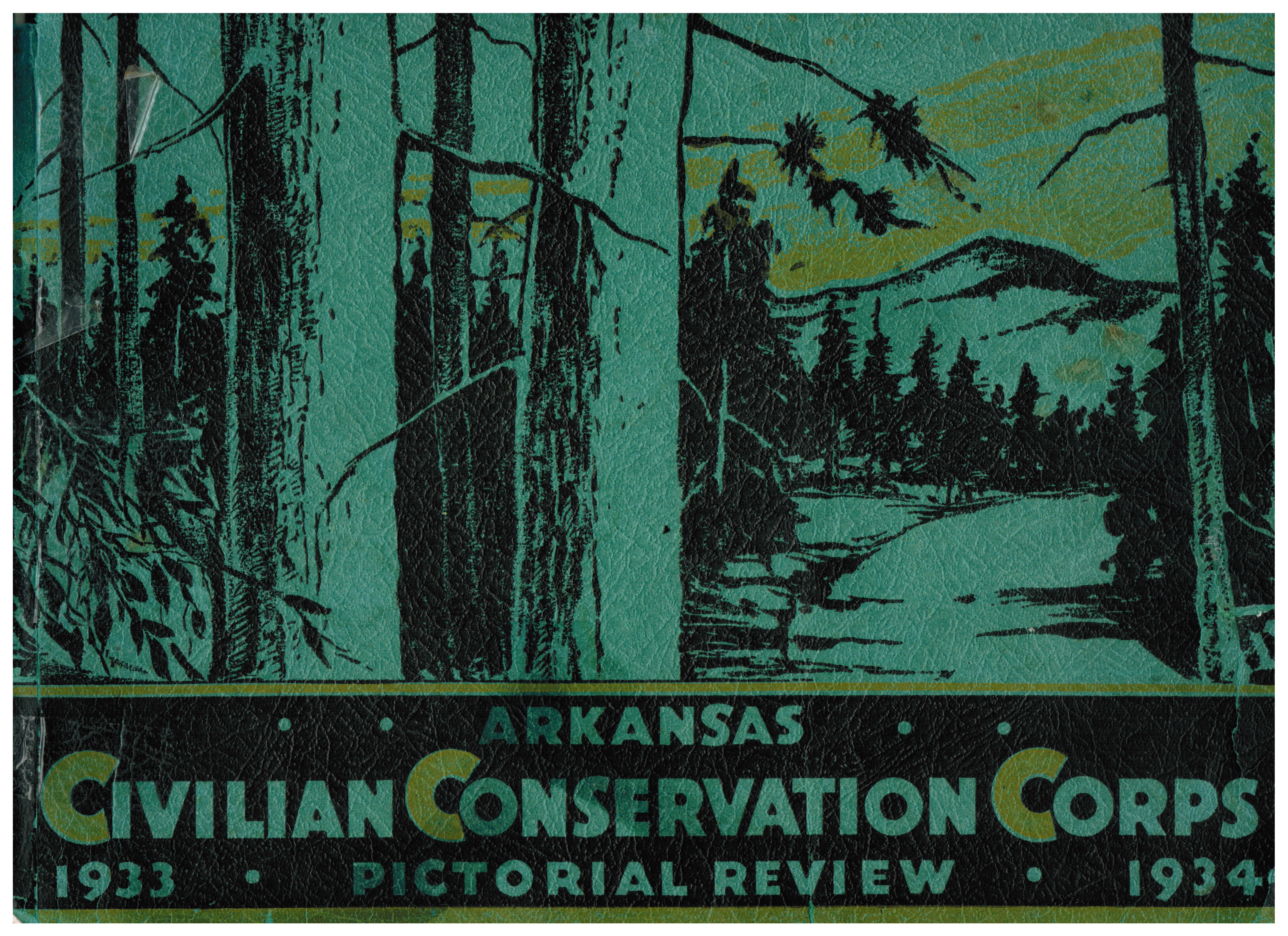
Click on the above picture and read a story of the Sans Gap Camp.