| TAKAHIK River Valley Hikers |
| Home Scheduled Hikes Pictures Videos Membership Links Trails & Waterfalls Mushrooms Products In Memory Of |
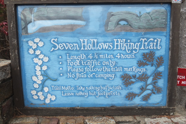
| SECRETS OF SEVEN HOLLOWS |
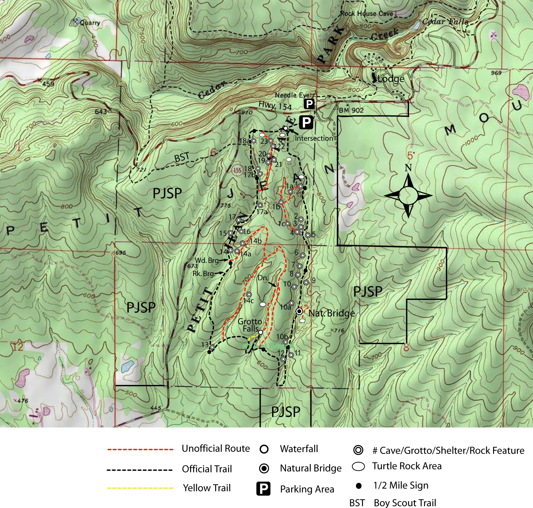
| (Click on Map
for LARGER Image) There are a lot of "Secrets in Seven Hollow". Not all secrets are shown on the above map or pictures below. Some "Secrets" you will need to find for yourself. |
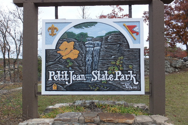 |
 Sign at Highway Entrance |
 |
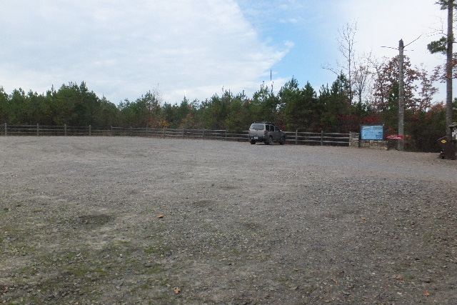 Park Area 35.11415°, 92.94530° |
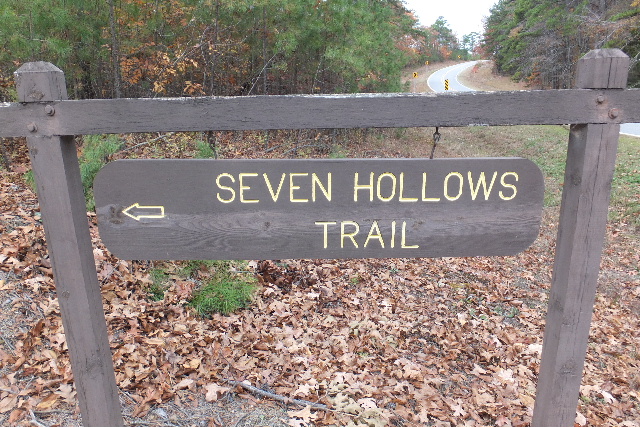
 Entrance to Trail 35.11422°, 92.94532° |
 Intersection 35.11647°, 92.94675° |
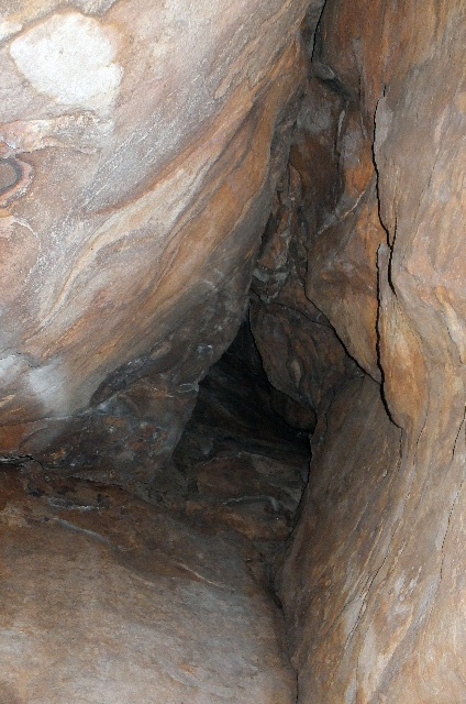
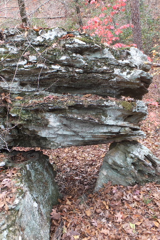
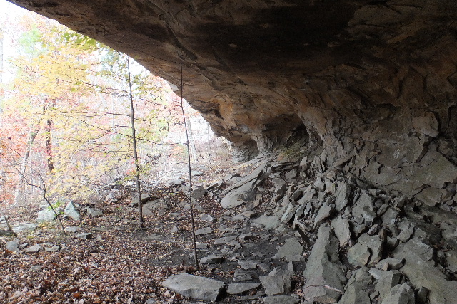
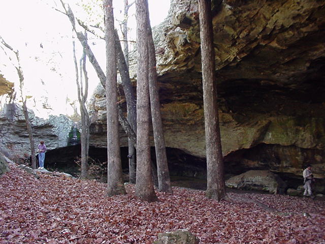
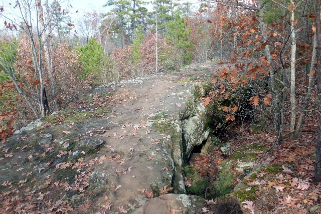
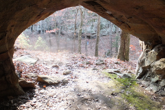
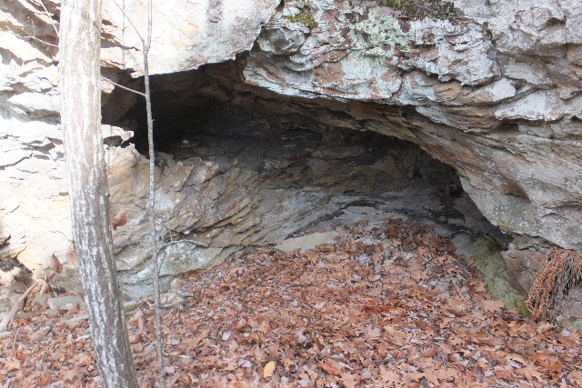
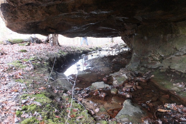
 #1 Grotto 35.10890°, 92.94515° |
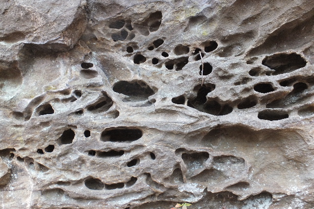
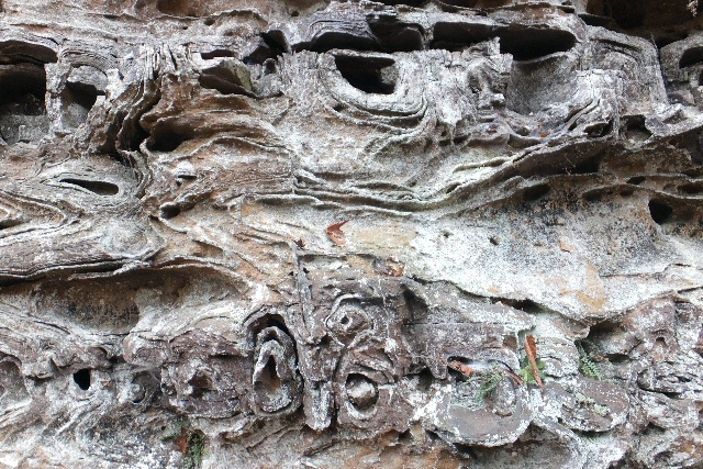
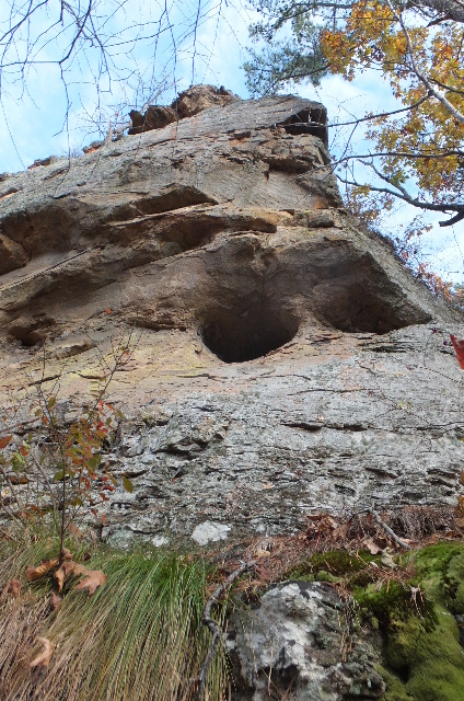
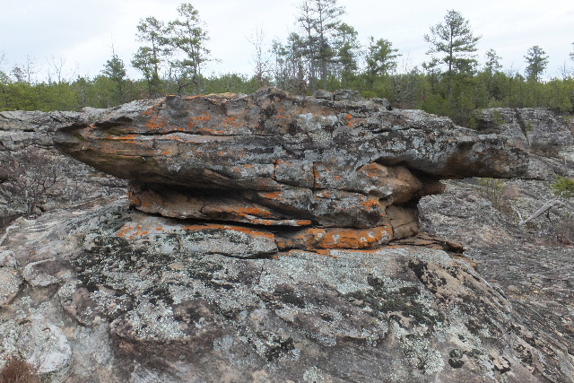
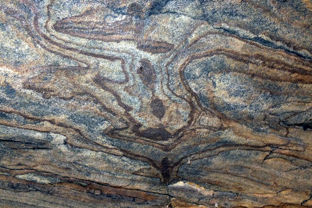
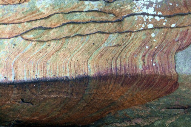
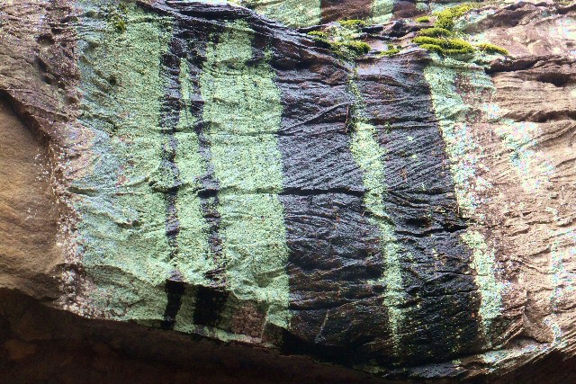
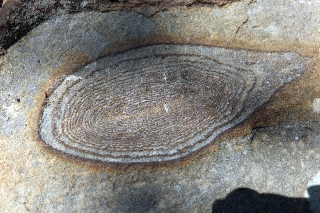
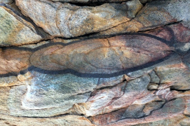
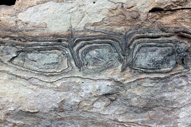 Typical Box Work on rock bluffs |
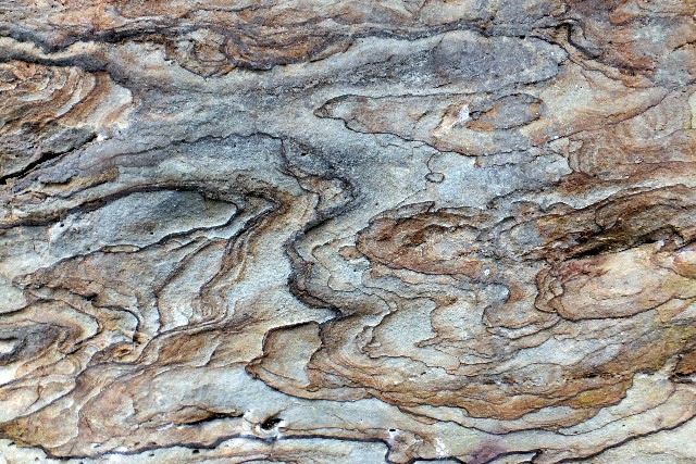 Closeup of bluff walls |
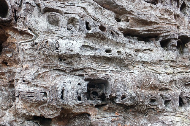
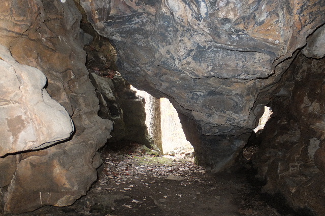
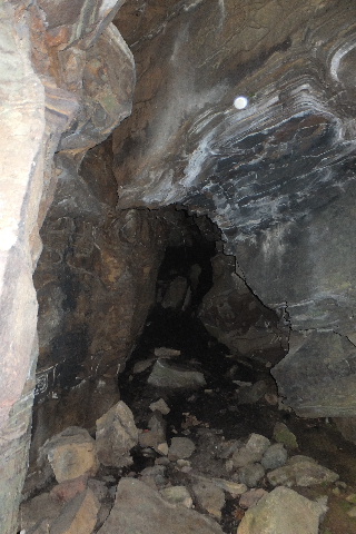
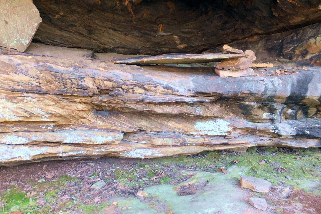
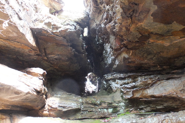
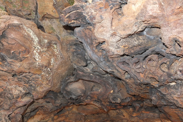 Grotto ceilings (typical) |
 More grotto ceilings |
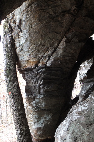
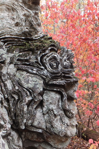
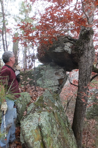
 "Twisted" rock outcropping |
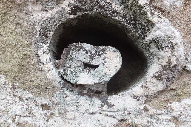
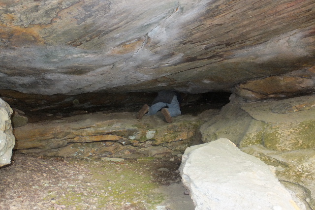
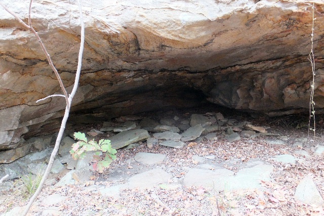
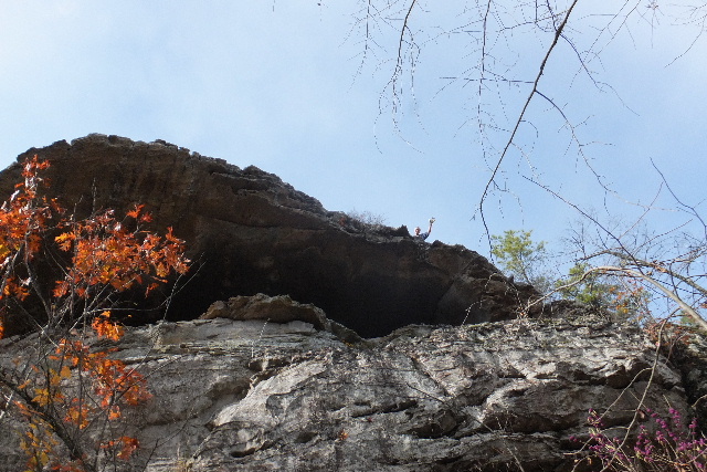
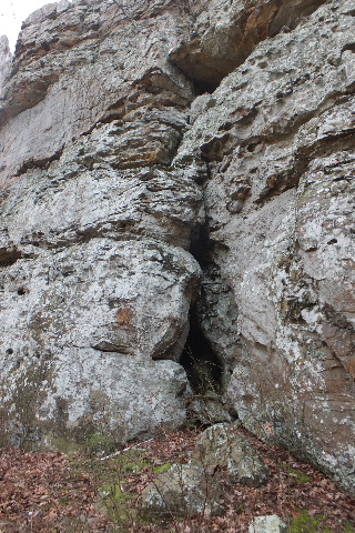
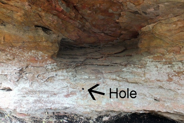 # 1a Hole Grotto 35.10847°, 92.64603° |
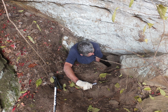
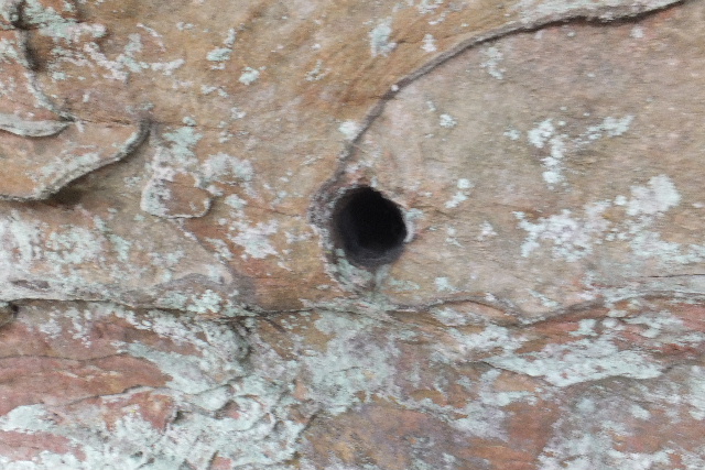 Could not determine the depth of this hole, but it was more than the 3 ft. we could measure! |
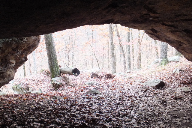
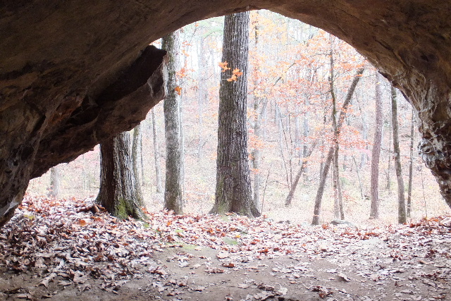
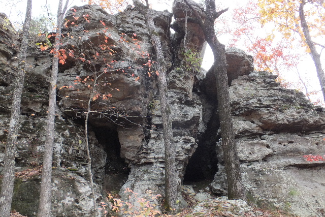
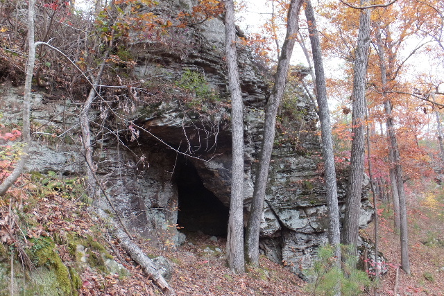
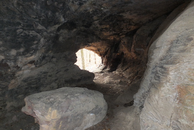
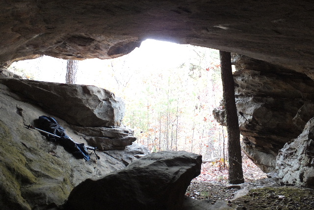
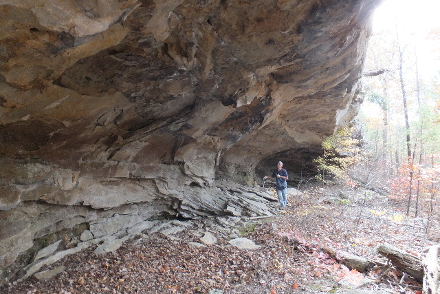
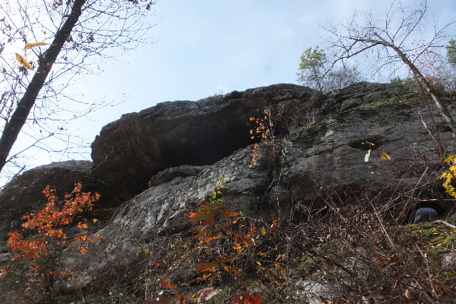
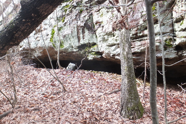
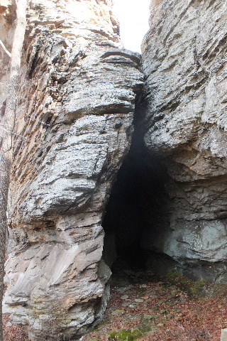
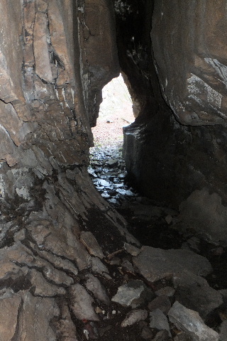
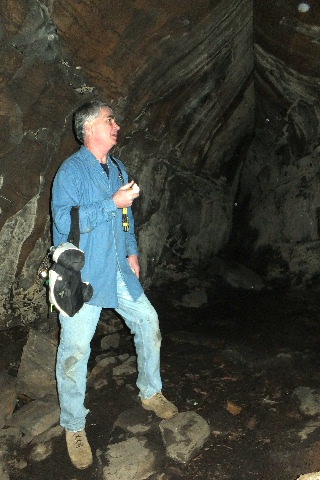
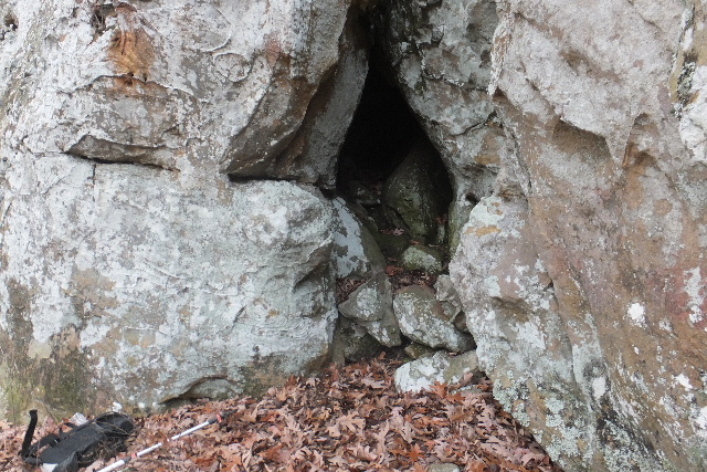
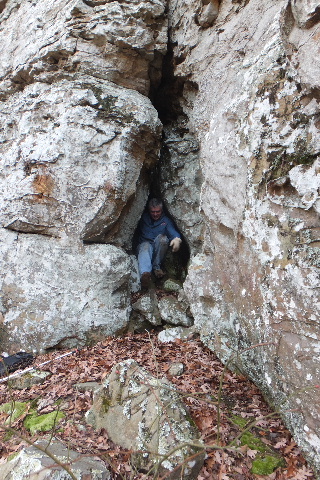
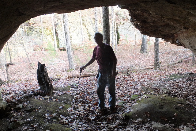
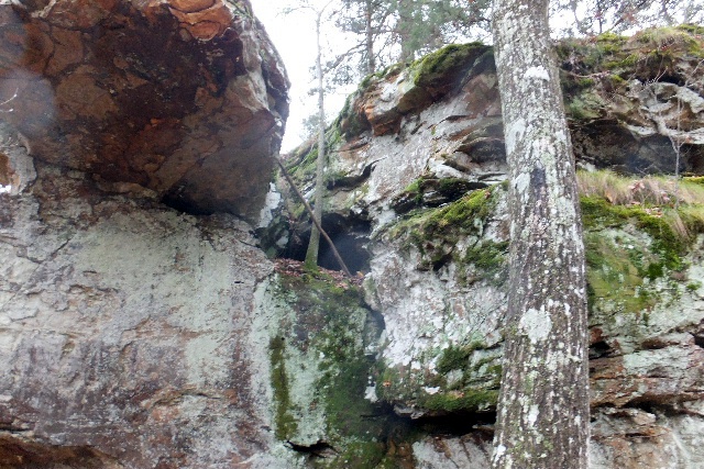 #1b Upper Cave 35.10780°, 92.94672° |
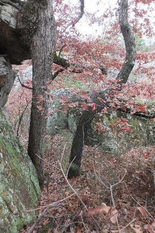
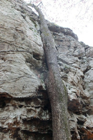 Hugging Tree |
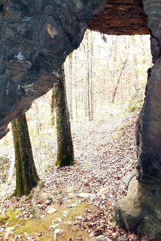
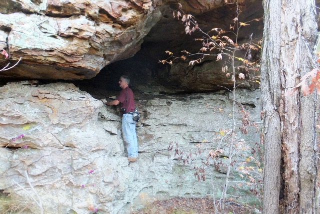
 Grotto and bluff line between #1b and #1c |
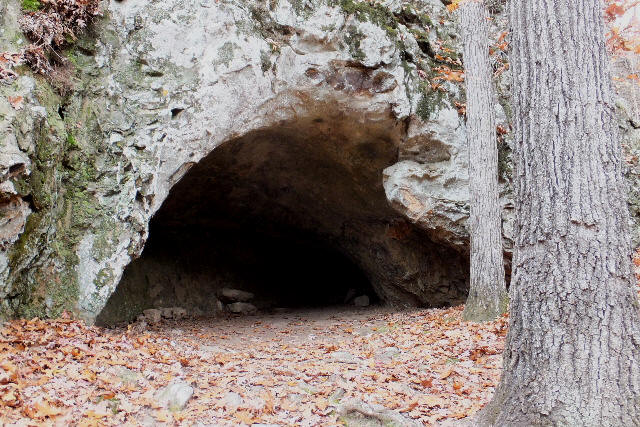
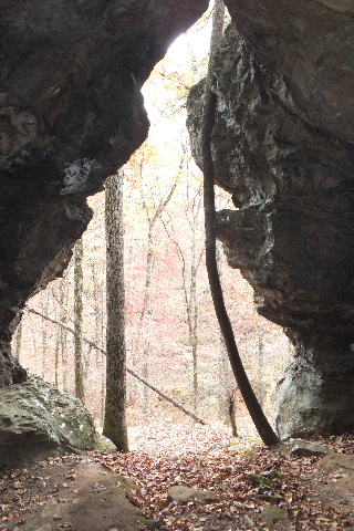
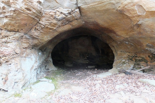
 #1c Grotto 35.10592°, 92.94607° |
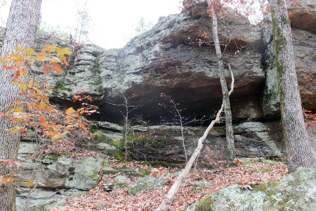
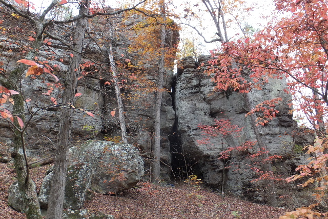
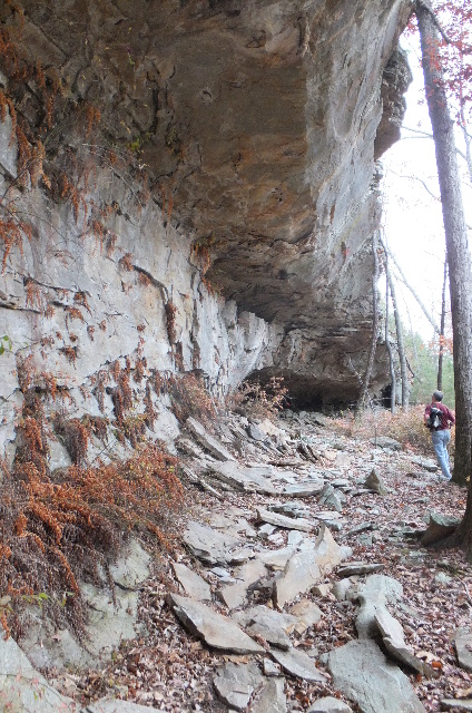
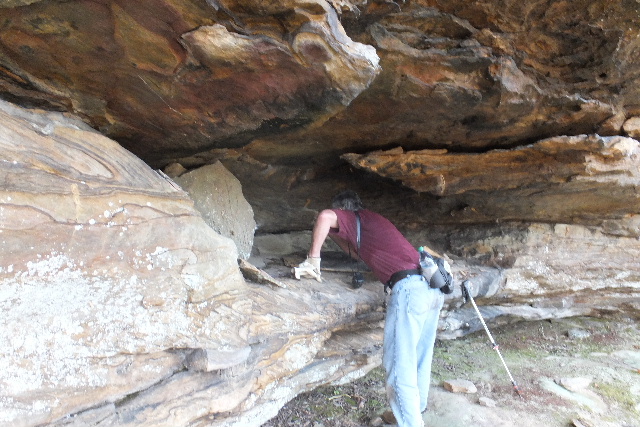
 #2 Rock Shelter |
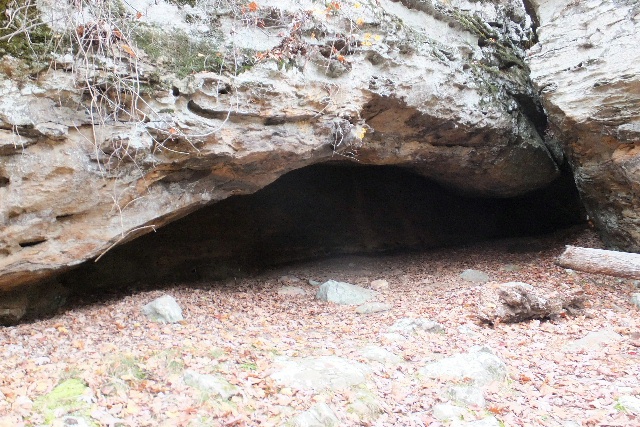
 Inside #2 Rock Shelter 35.10633°, 92.94508° |
 Wall outside #2 Cave |
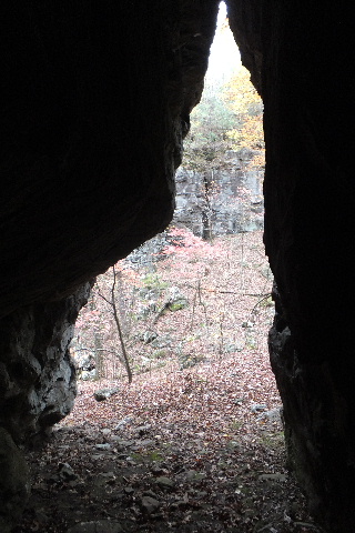
 #3 Rock Shelter |
 Inside #3 Rock Shelter 35.10598°, 92.94502° |
 Inside #3 Rock Shelter |
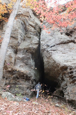
.JPG) #3 Rock Shelter and Upper Cave on left |
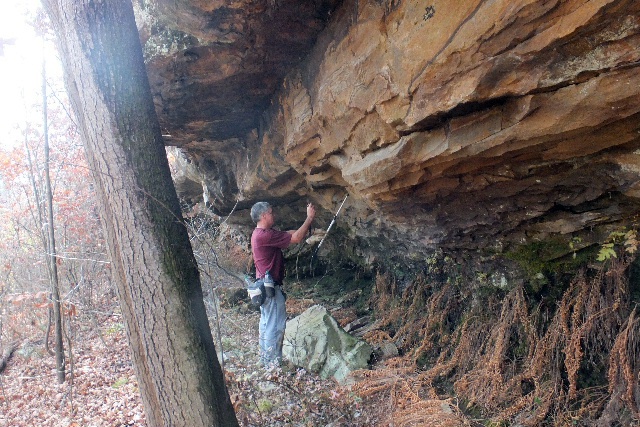
 Accessing Shelter |
 Upper Shelter |
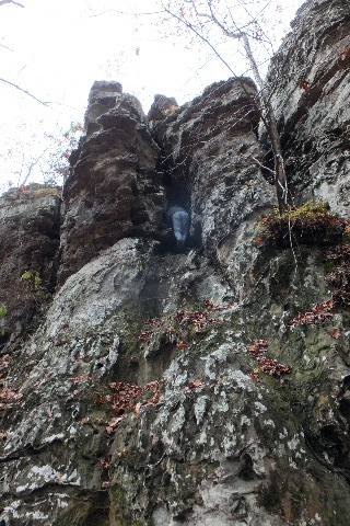
.JPG) #4 Rock Shelter |
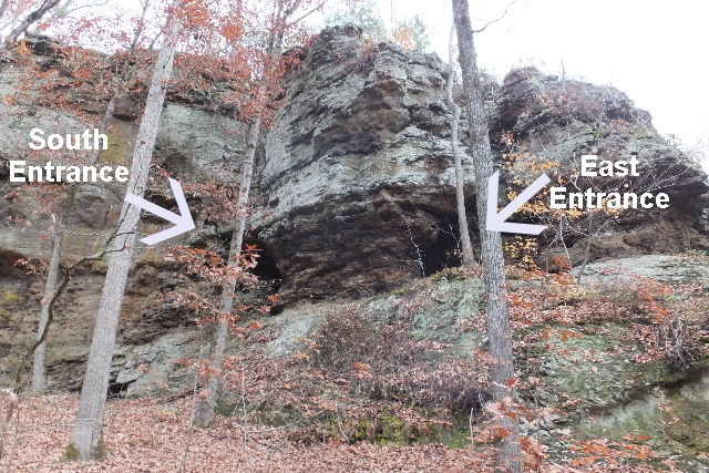 #4 Rock Shelter 35.10555°, 92.94537° |
.JPG) #4 Rock Shelter |
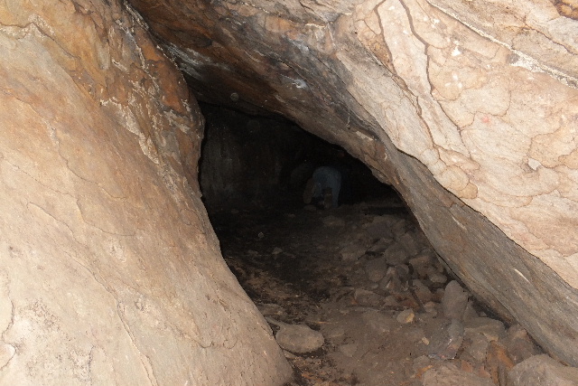
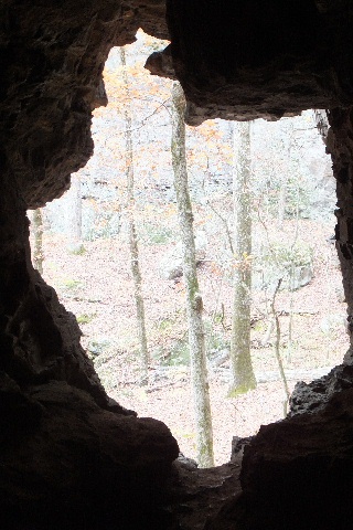 Inside looking out South Entrance #4 Rock Shelter |
 Looking up inside #4 Rock Shelter |
 Inside looking out East Entrance #4 Rock Shelter |
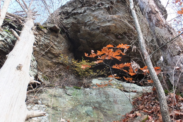
 Just west of #4 Rock Shelter |
 Looking from inside (Just west of #4 Rock Shelter) |
 Entering in (Just west of #4 Rock Shelter) |
 |
 More "Rock Features" |
 |
 #5 Rock Shelter 35.10528°, 92.94460° |
 Inside #5 Rock Shelter Two Entrances |
 Bridge Rock just North of #5 Rock Shelter |
 #6 Rock Shelter 35.10358°, 92.94502° |
 Inside #6 Rock Shelter |
 Pedestal Just South of #6 Rock Shelter |
 #7 Rock Shelter 35.10267°, 92.94517° |
 Inside #7 Rock Shelter |
 Inside looking out #7 Rock Shelter |
 #8 Rock Shelter Two Entances 35.10223°, 92.94528°  Inside #8 Rock Shelter |
 Looking outside from right entrance #8 Rock Shelter |
 Looking outside from left entrance #8 Rock Shelter 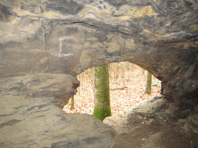 Inside Rock Shelter #8 left entrance |
 #9 Rock Shelter 35.10160°, 92.94487° |
 Box Work on rock outcrop |
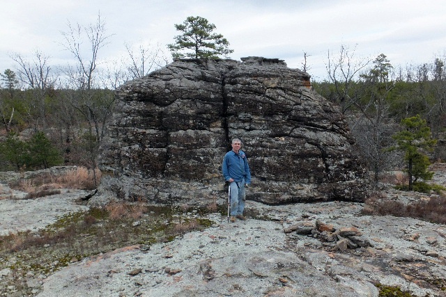
 Balance Rock |
 #10 Rock Shelter 35.10127°, 92.64553° |
 Exploring inside of #10 Rock Shelter |
 Inside looking out #10 Rock Shelter |
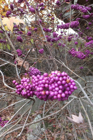 Entrance to Beautyberry Hollow |
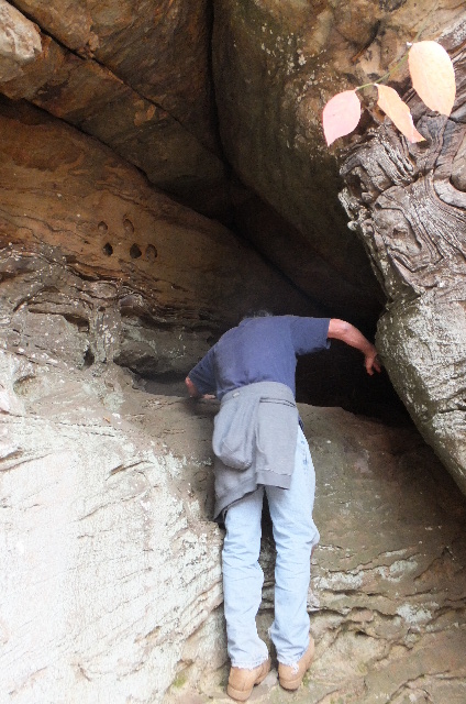
 #10a Beautyberry Shelter 35.09978°, 92.94608° |
 Trying to find out how to access #10a Beautyberry Shelter (It will take a smaller person) |
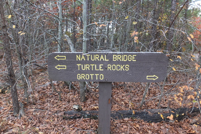
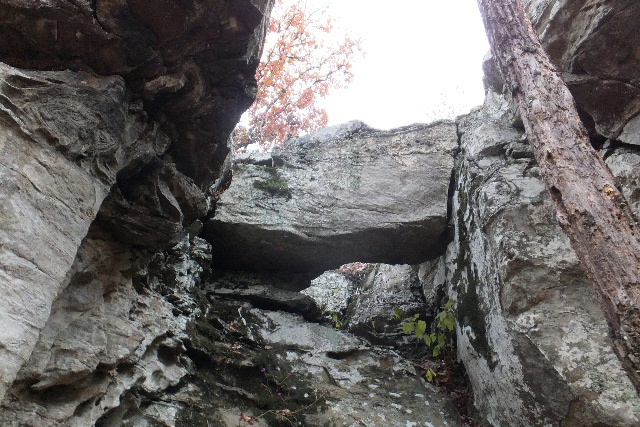
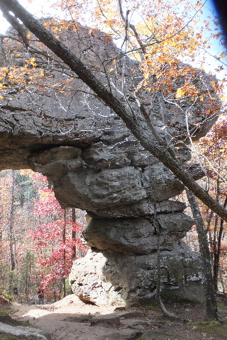 Natural Bridge |
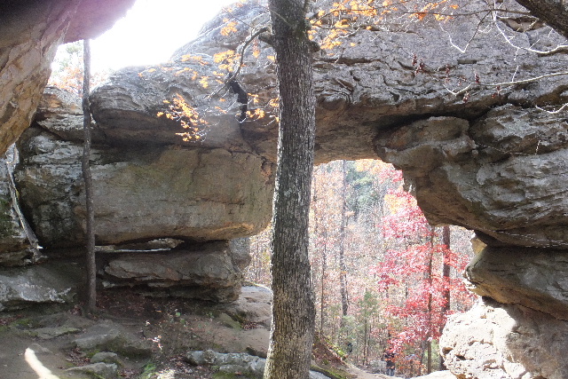 Natural Bridge 35.09957°, 92.94523° |
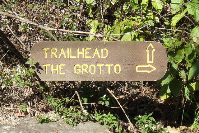
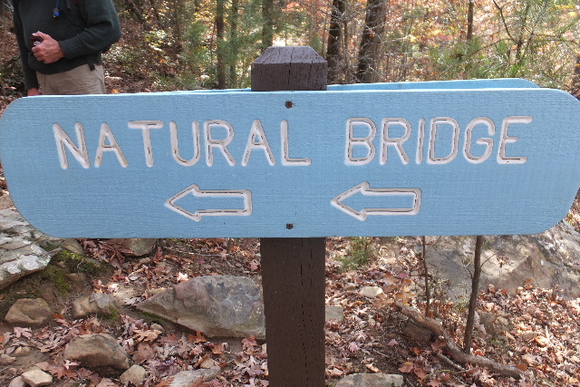 Sign on Trail |
 Turtle Rocks above the Natural Bridge |
 Turtle Rock above the Natural Bridge |
 Turtle Rocks above the Natural Bridge |
 #10b Fern Grotto |
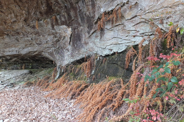 #10b Fern Grotto 35.09673°, 92.94648° |
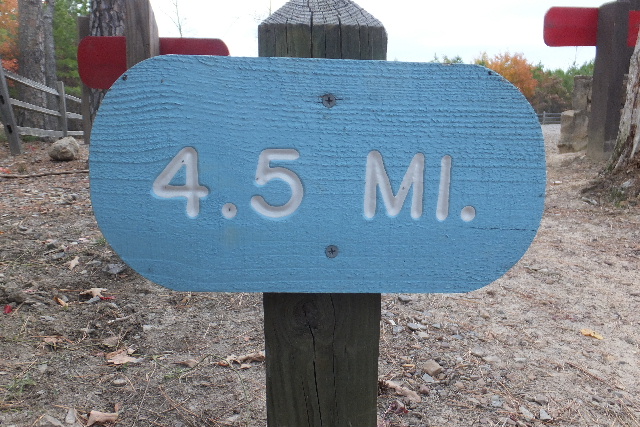
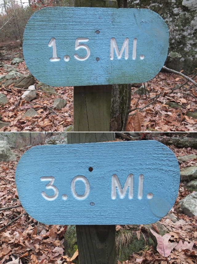 Mile Marker 1.5-Mile heading South 3.0-Mile heading North 35.09660°, 92.94650° |
 #11 Grotto |
 #11 Grotto 35.09620°, 92.94637° |
 #11 Grotto |
 #12 Upper Grotto |
 #12 Upper Grotto 35.09593°, 92.94657° |
 #12 Upper Grotto |
 Entrance to Grotto 35.09662°, 92.94978° |
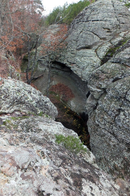
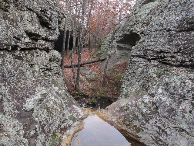
 Seven Hollows Grotto |
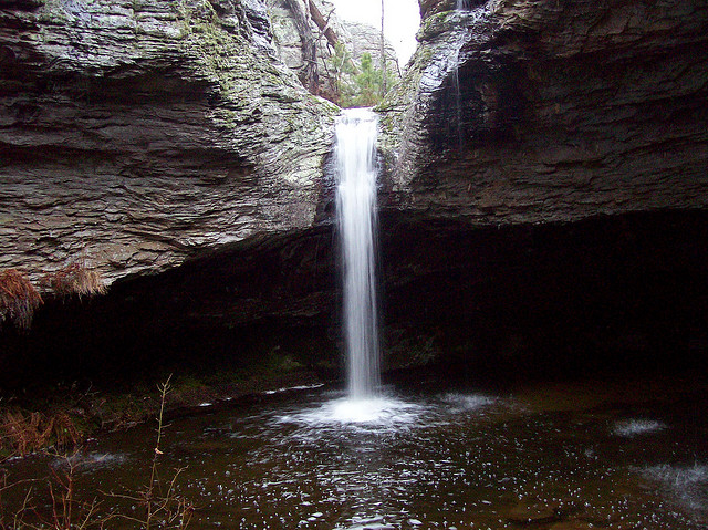 Seven Hollows Grotto Falls 35.09795°, 92.94873° |
 Yellow Trail to top of Grotto (West side) |
 Access down into Grotto (West side) 35.09783°, 92.94902° |
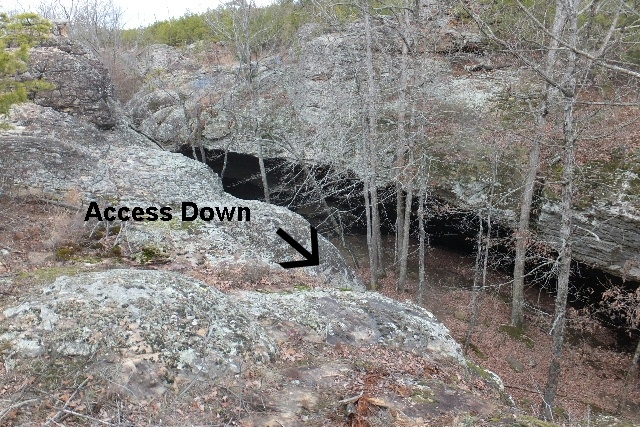 West side access into Grotto from Yellow Trail |
 Twin Rocks on top West side |
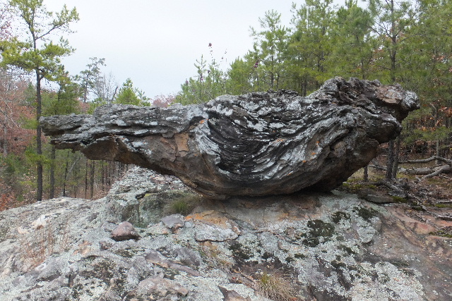
 Unique Rock |
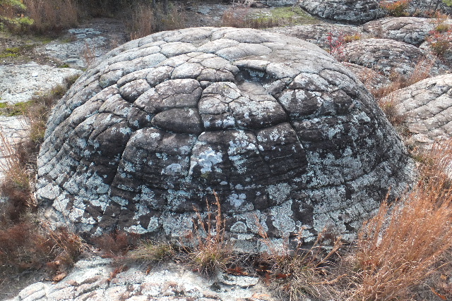
 Dome Rock |
 Looking down into Grotto from East side |
 Looking upstream from Grotto Falls |
 Above Seven Hollows Grotto Falls |
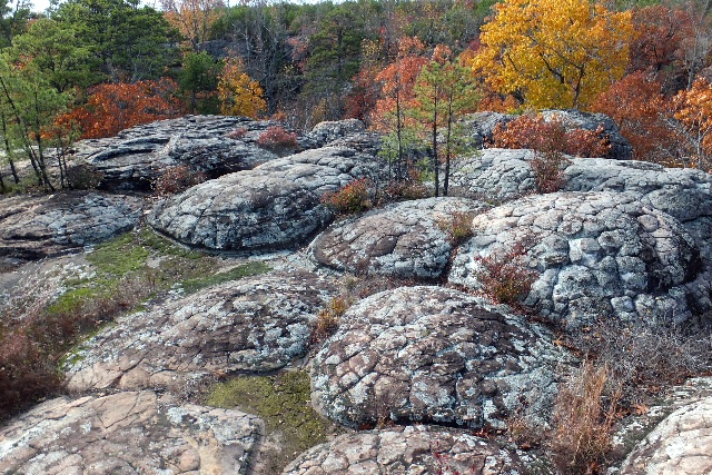
 Some of the special rocks on top |
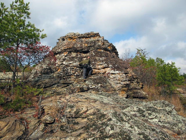 One of many dome rocks |
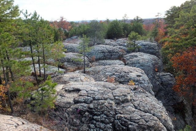
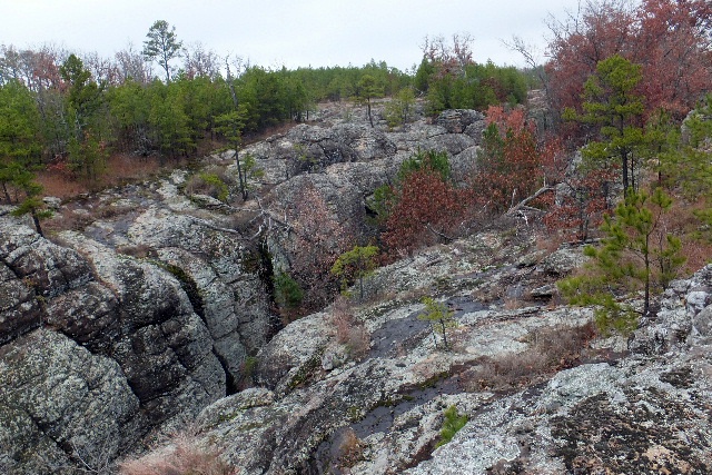
 Rock Plateau |
 Access Down into Upper Grotto Hollow 35.09653°, 92.95332° |
 Rock and Tree at Access Down |
 Small Waterfall from top |
 #13 Grotto 35.09653°, 92.95332° |
 Rock Features at #13 Grotto |
 Rock layers at #13 Grotto |
 Rock Bridge on Trail looking north |
 Rock Bridge looking south 35.10220°, 92.95332° |
 Wood Bridge 35.10353°, 92.95158° |
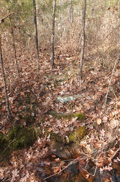 Old rock steps to #14 Grotto |
.JPG) #14 Grotto 35.10397°, 92.95163° (Evidently the trail passed by this grotto but has now been re-routed around it?) |
 White arrow on #14 Grotto |
 "Holy Grotto" near #14 Grotto |
 Rock Features near #14 Grotto |
 .....more Rock Features |
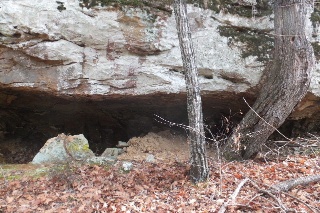
 #14a Tin Can Shelter (and old lumber) 35.10388°, 92.95073° |
 #14b Box Shelter (and barrel rings) Probably another "Moonshine Shelter"? 35.10458°, 92.95033° |
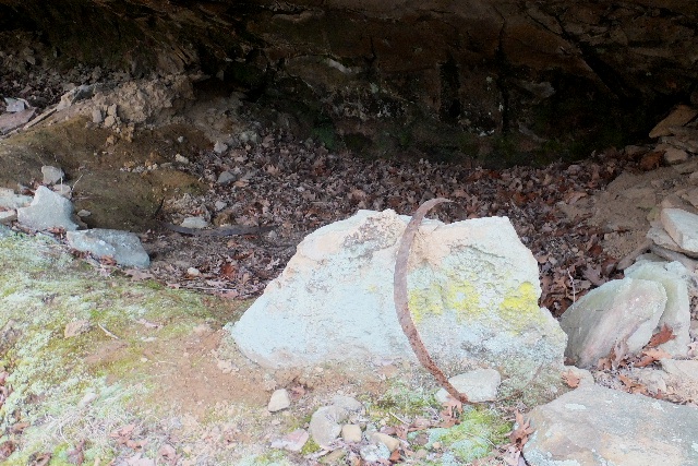
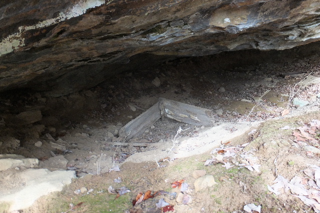 #14b (old wood box) Shelter has been dug out and dirt piled in front of shelter) |
 #14b (barrel rings) |
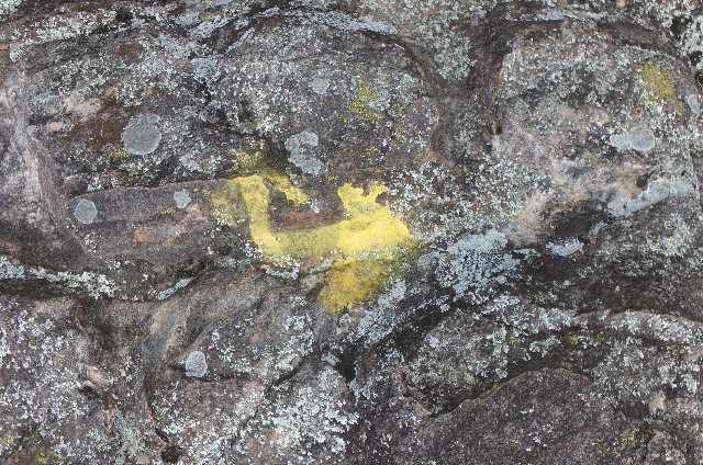
 Green Lichen Waterfall |
 #14c Long Rock 35.10080°, 92.95002° |
 #15 Grotto (West side of trail) 35.10515°, 92.95132° |
 #16 Upper Shelter (East side of trail) 35.10545°, 92.95108° |
.JPG) |
 |
 Three pictures of Rock Features in #17 Grotto 35.10615°, 92.95062° |
 |
 #17a Rock Shelter 35.10762°, 92.94908° |
 Inside #17a Rock Shelter |
 Inside #17a Shelter |
 #17b Rock Shelter (Shelter goes up to upper shelf opening) |
 #17b Rock Shelter 35.11003°, 92.94918° |
 #17b Rock Shelter |
 #18 Rock Shelter 35.11025°, 92.94900° |
 #18 Rock Shelter from inside looking out |
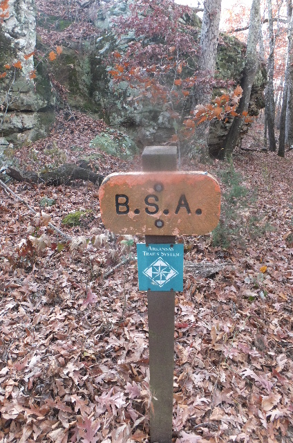 Intersection of Boy Scout Trail 35.11203°, 92.94982° |
 #18a Rock Shelter |
 #18a Shelter (several barrel rings) 35.11245°, 92.94973° |
 Rock Shelter just south of #18a |
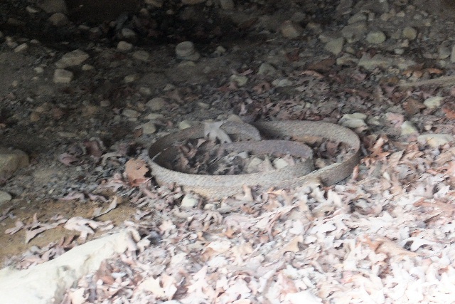
 #19 Moonshine Grotto 35.11082°, 92.94810° |
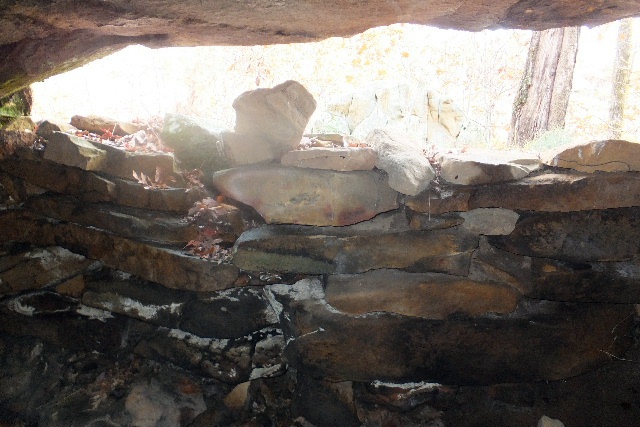 #19 Moonshine Grotto (From inside looking at rock wall fortress) According to State Park Interpreters, this is one of three moonshine grottos in Seven Hollows. |
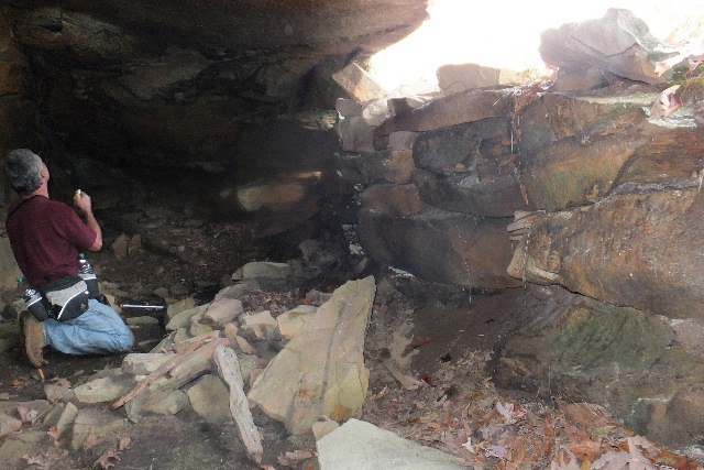 Exploring inside of #19 Moonshine Grotto |
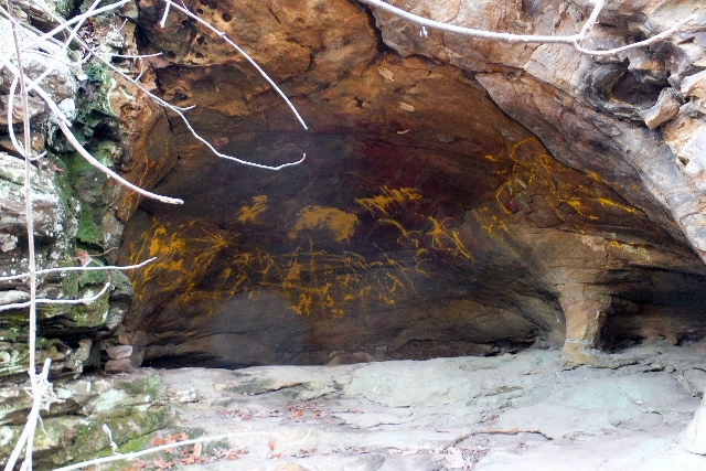 #20 Painted Shelter 35.11098°, 92.94797° |
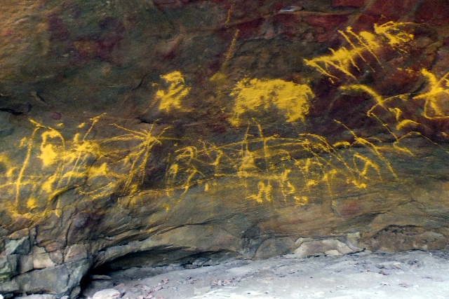 Yellow painted griffiti inside #20 Painted Shelter |
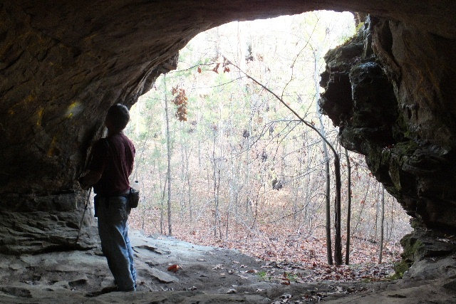 Inside looking out #20 Painted Shelter |
 Side windows in #20 Painted Shelter |
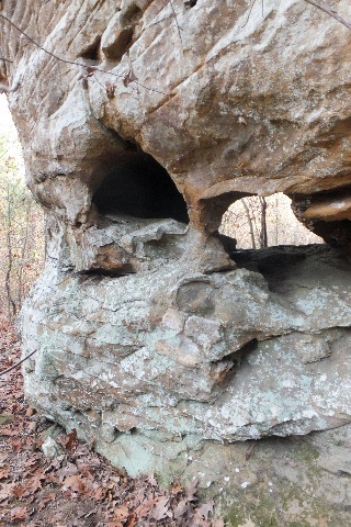 Side Windows |
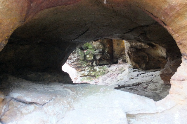 Peeking inside |
 #21 Grotto 35.11102°, 92.94807° |
 Metal barrel rings, metal pipes inside #21 Grotto |
 Water Grotto (between #21 & #22) 35.11158°, 92.94767° |
 #22 Grotto 35.11187°, 92.94768° |
 #23 Grotto 35.11220°, 92.94802° |
 Fungi Pile |