.jpg)
Parking Area "B" on JC 5671
(Approximately 100' south of OHT)
35.66578°, 93.34690°
Room for two vehicles only
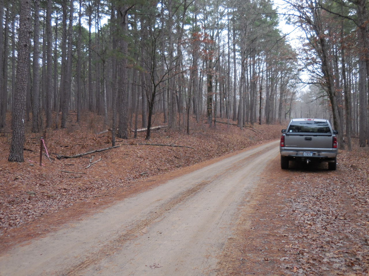
Additonal parking along side of road.
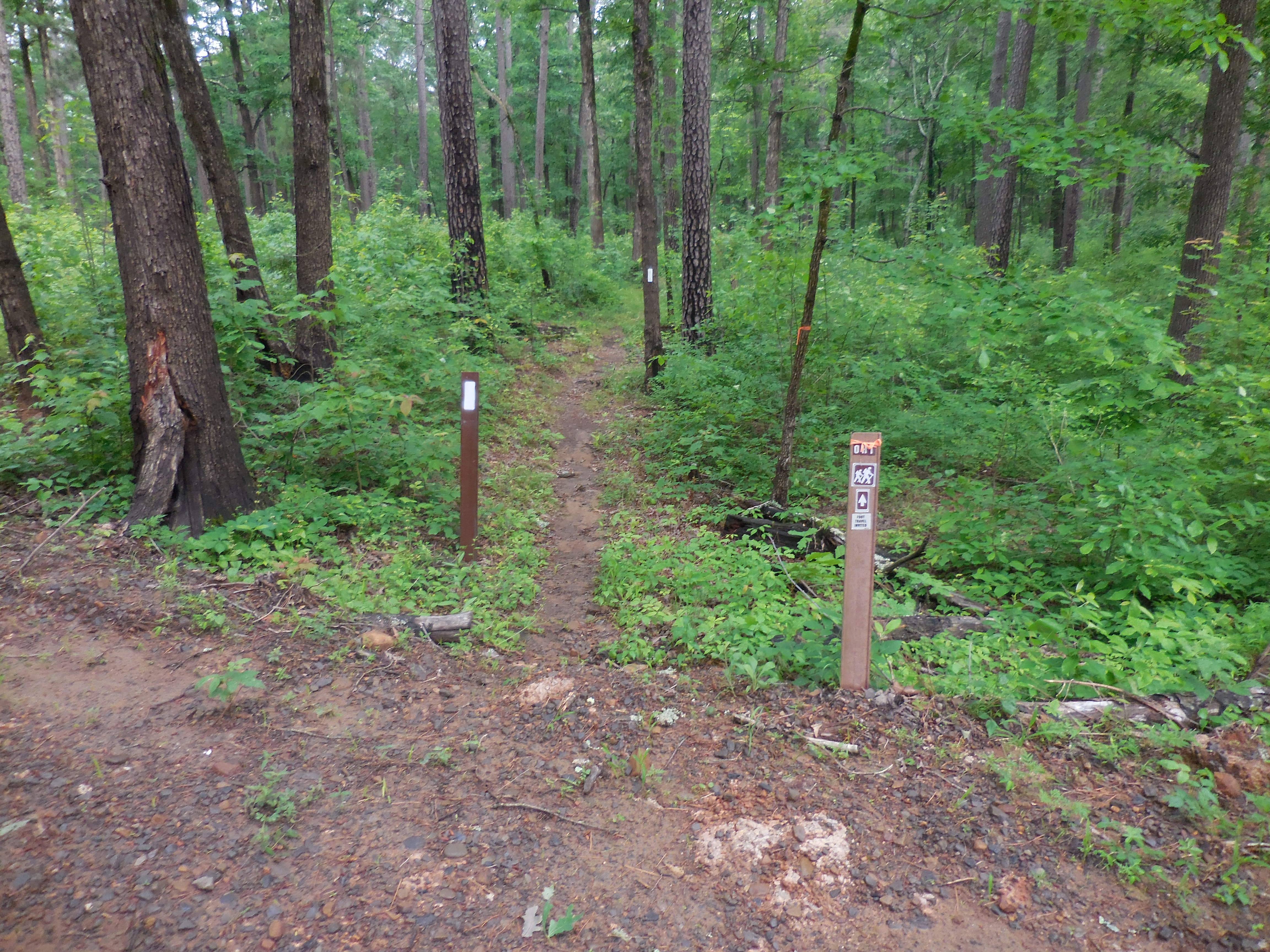
OHT Trail heading West
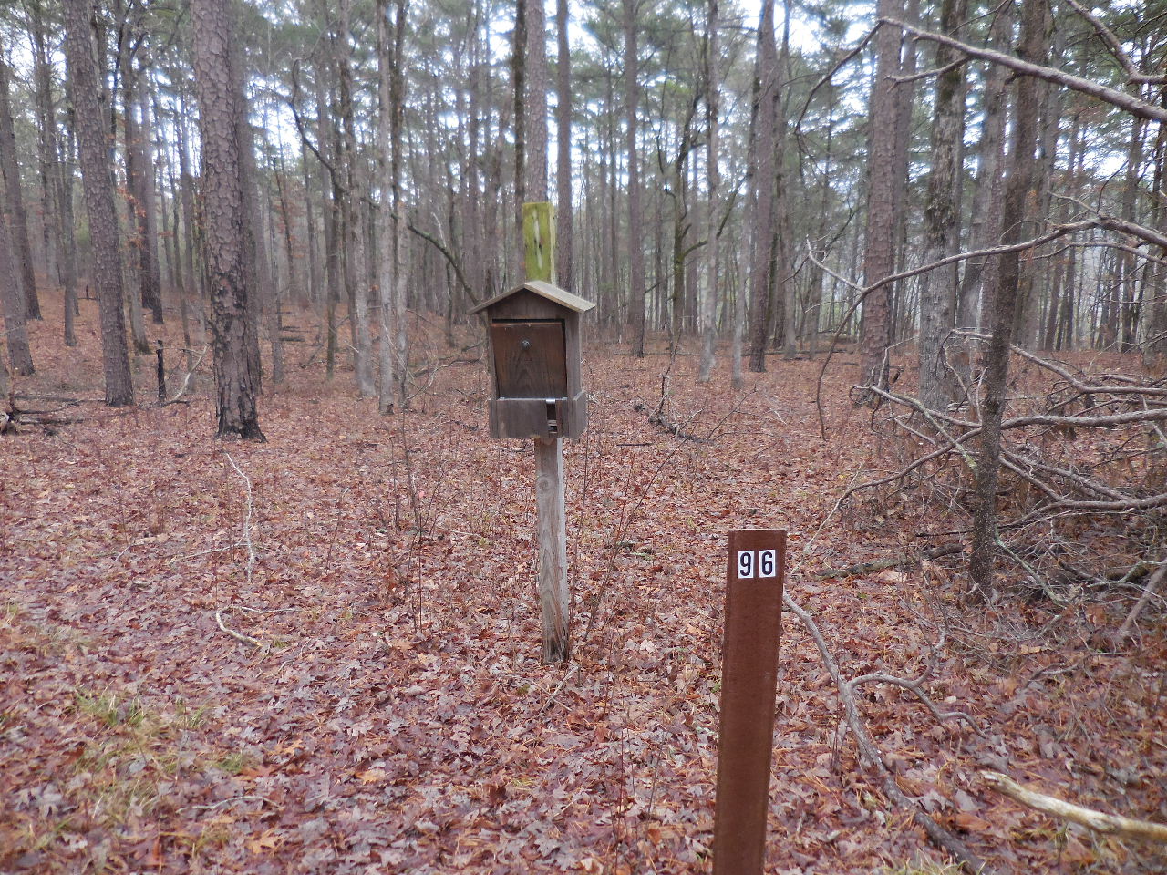
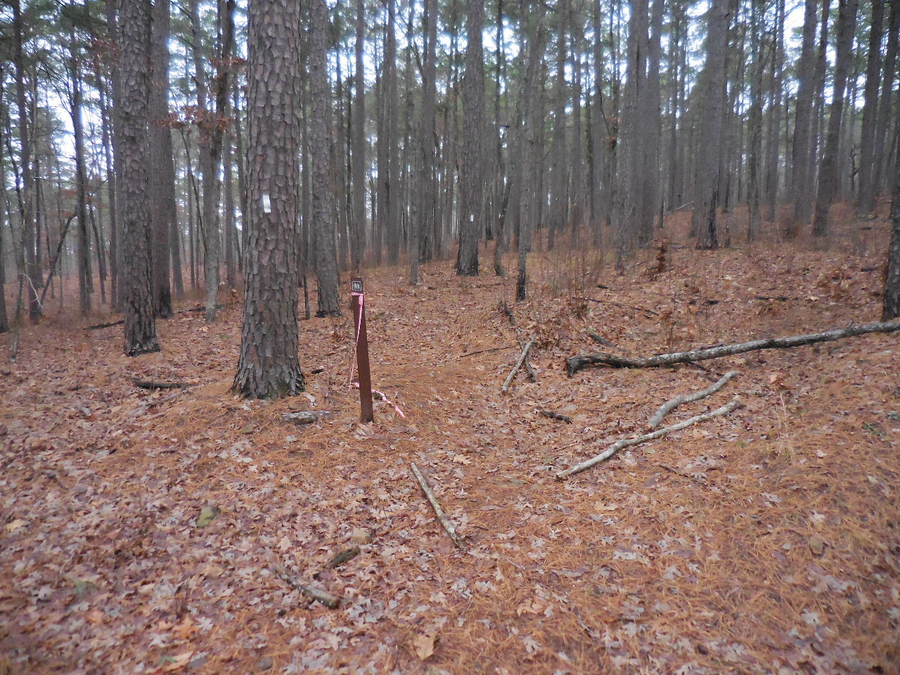
Sign-In Box
(East side of JC 5671)
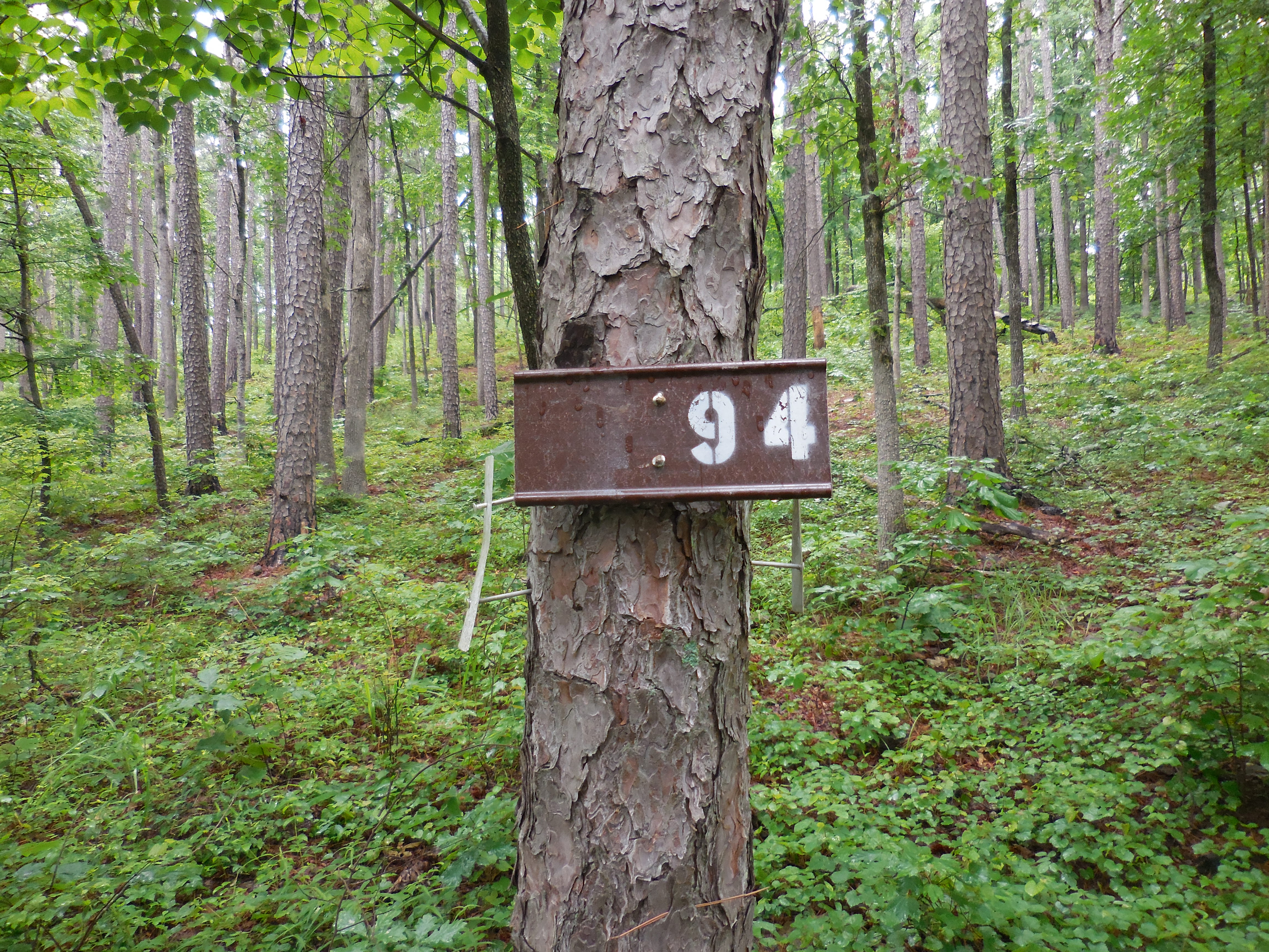
New Mile Marker 94
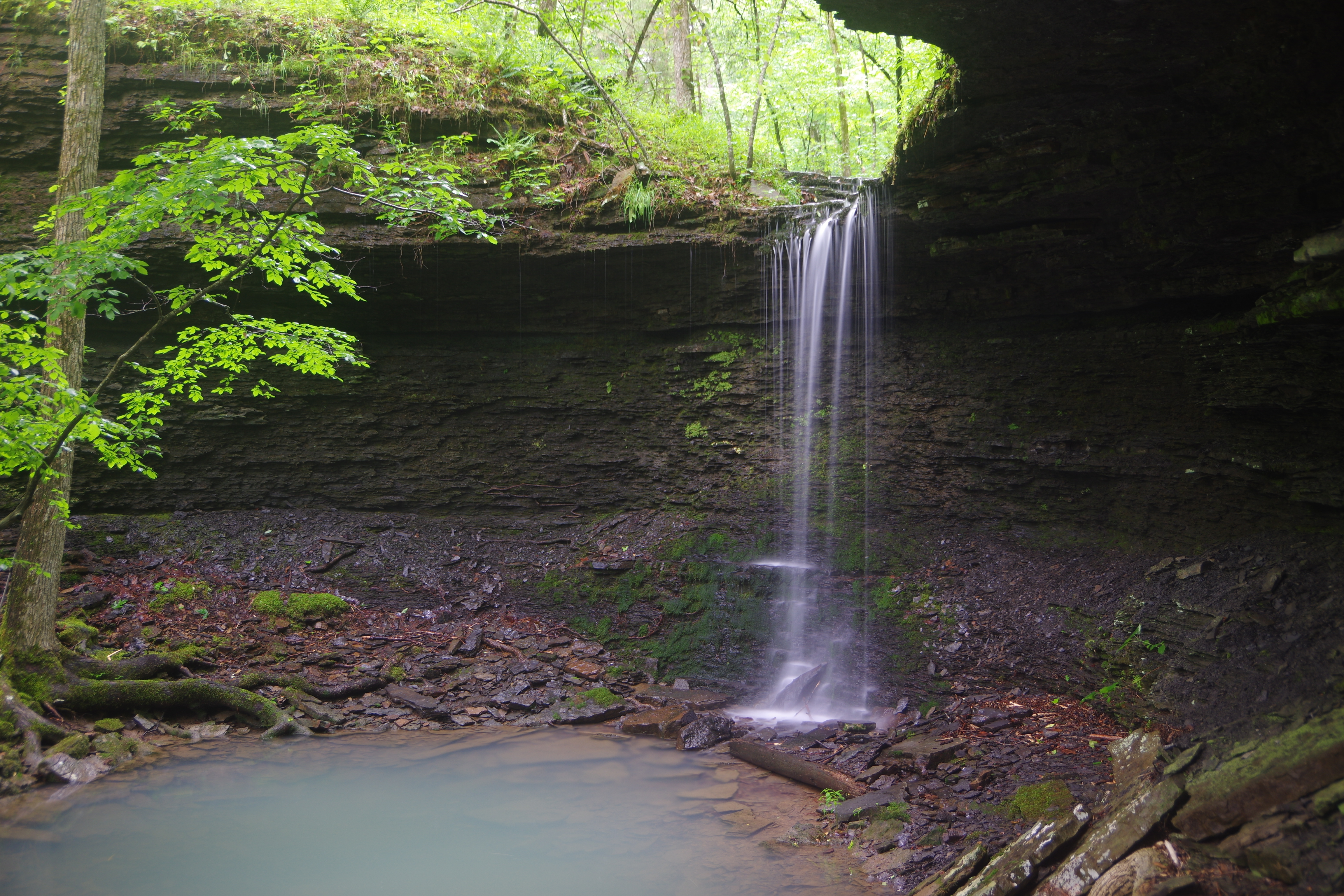
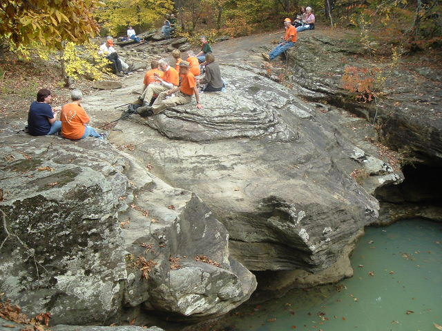
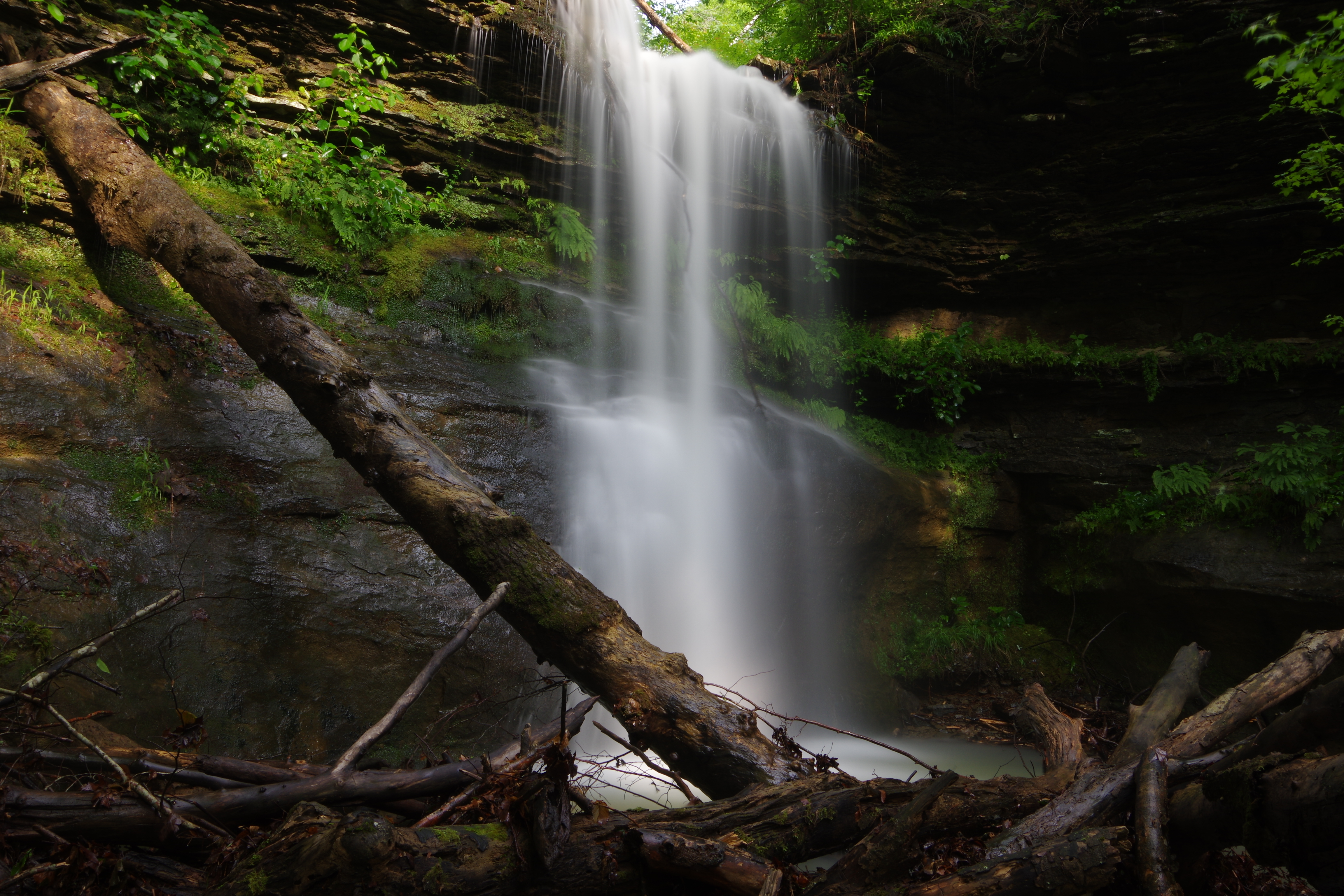
WF #1 Upper Bear Skull Falls
35.66959°, 93.36215°
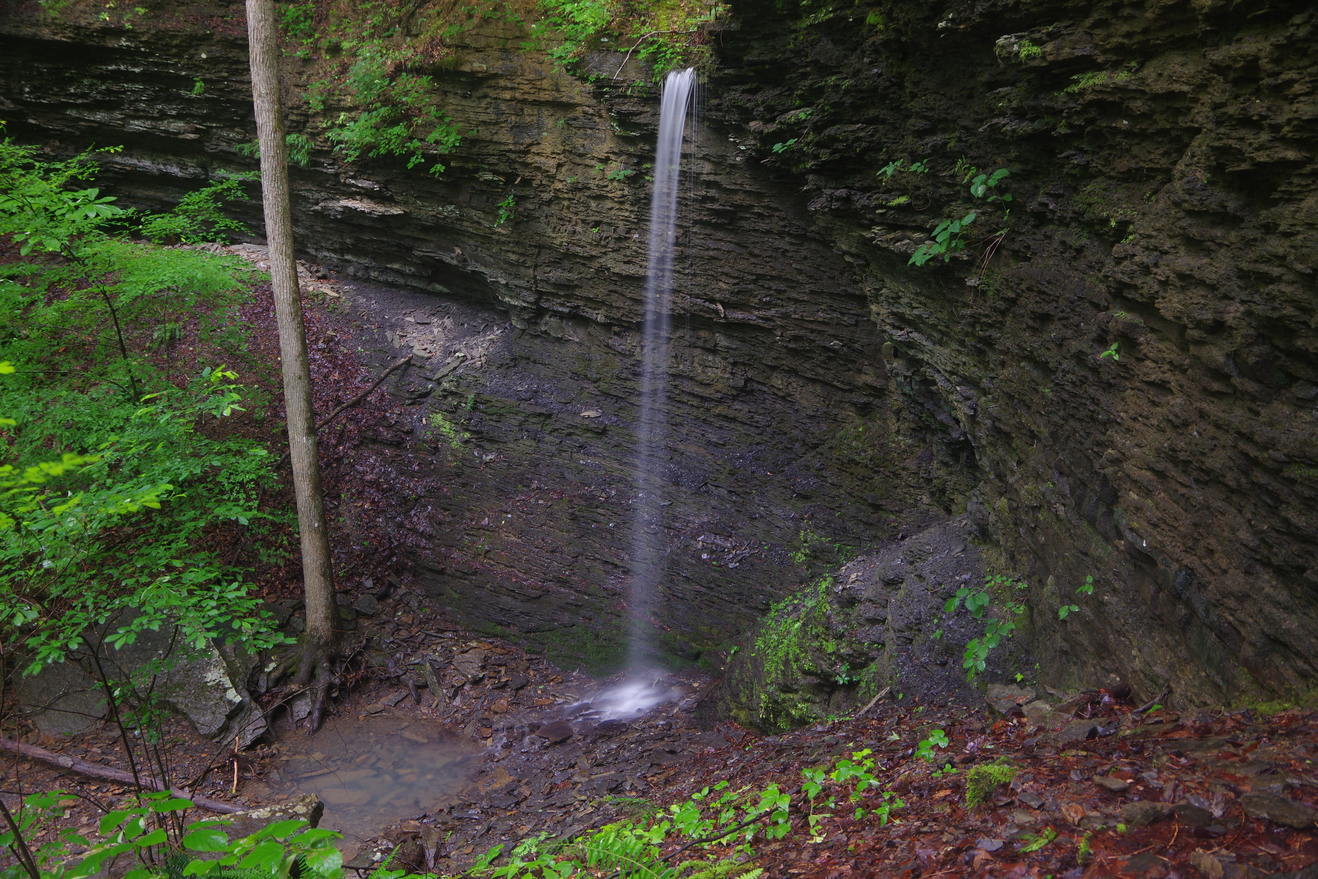
WF #2 Bear Skull Falls
35.66987°, 93.36220°
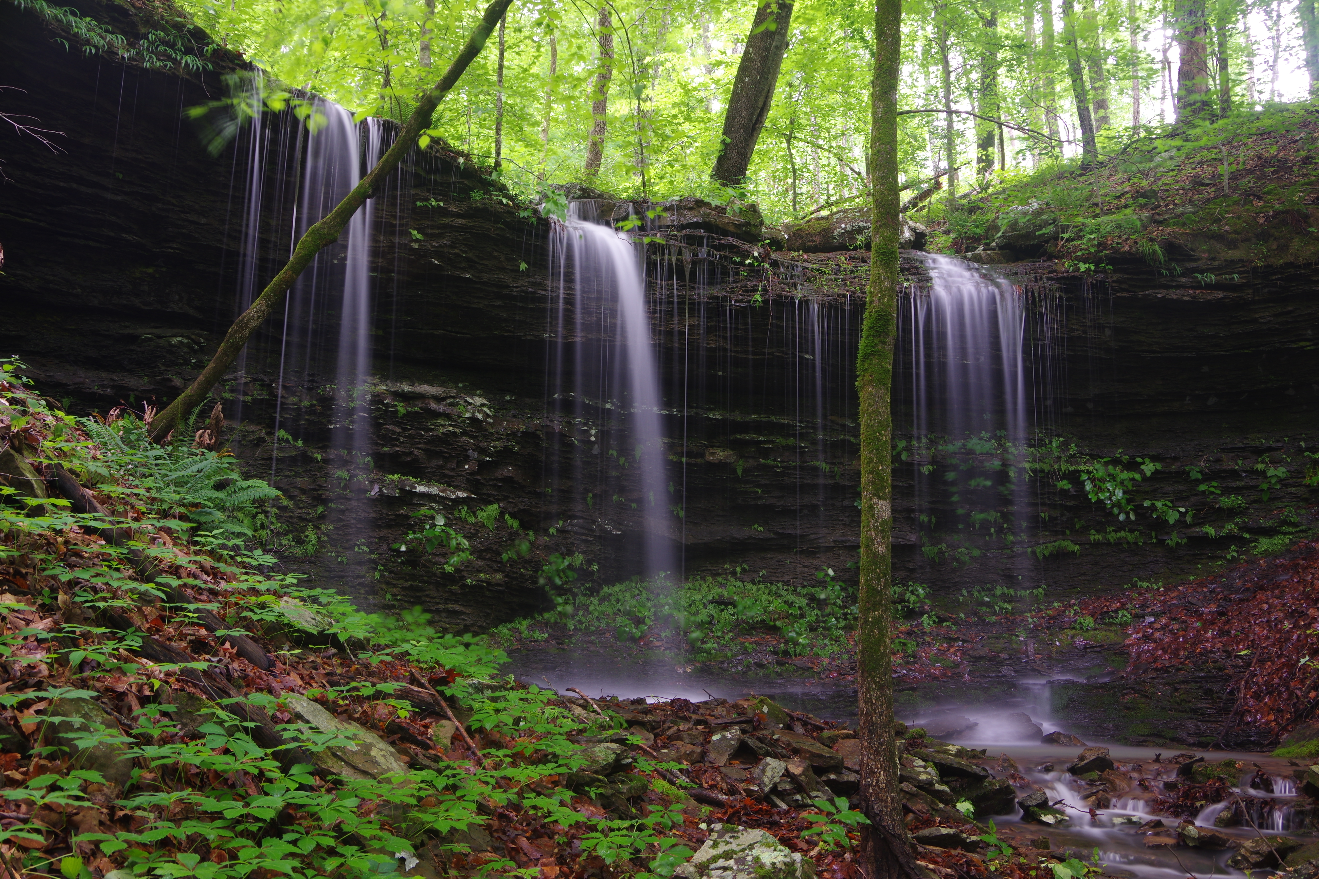
WF #4 Slot Rock
35.67600°, 93.36318°
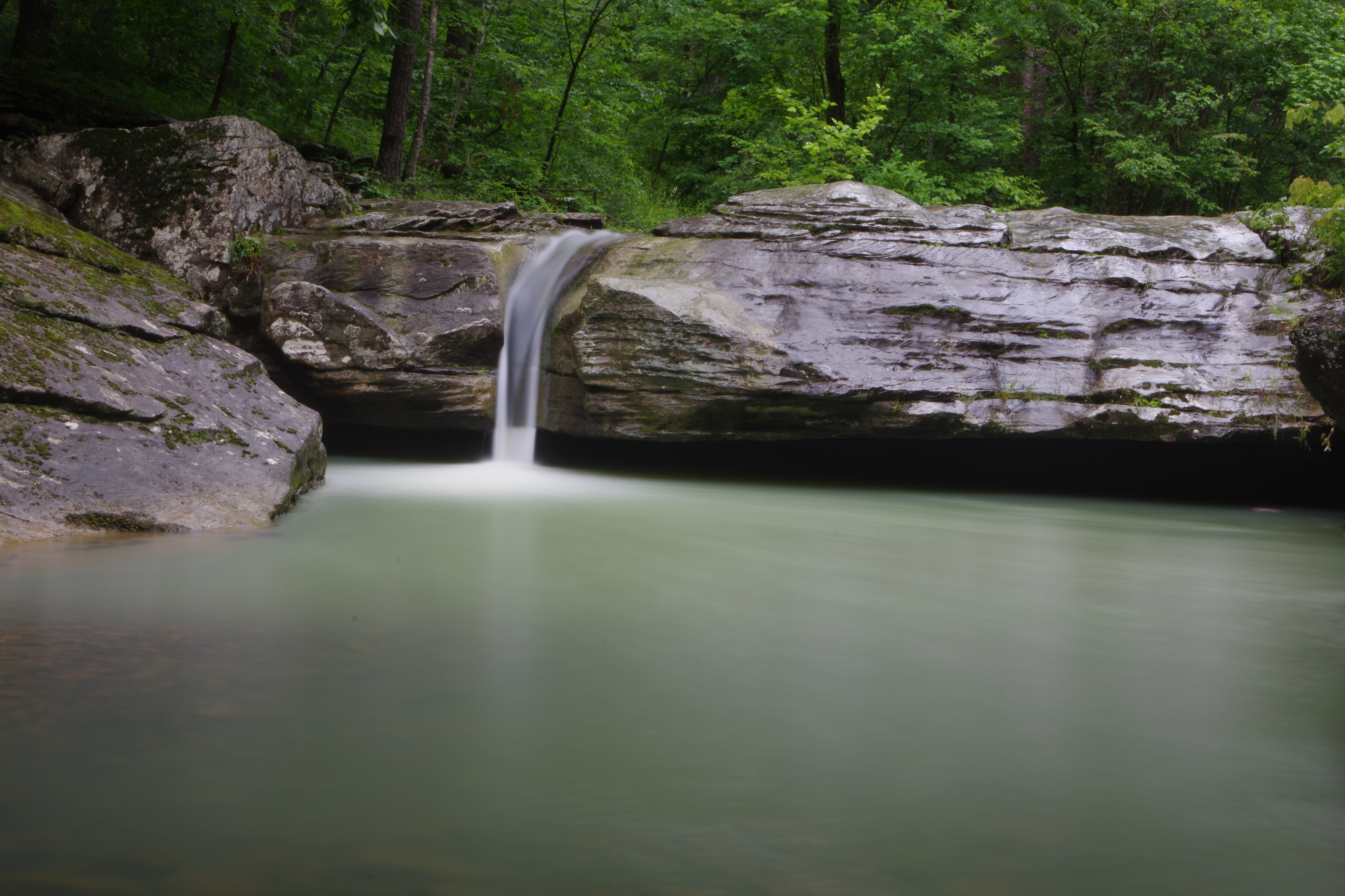
WF #4 Slot Rock
WF #5 Sunset Falls
35.67652°, 93.35357°
WF #6 Discovery Falls
35.67703°, 93.35291°
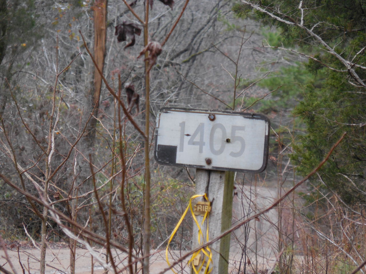
Turn left at the intersection of FR 1405 (JC 5550)
and JC 5671, 3.2 miles from Hwy. 123
to access Lick Creek
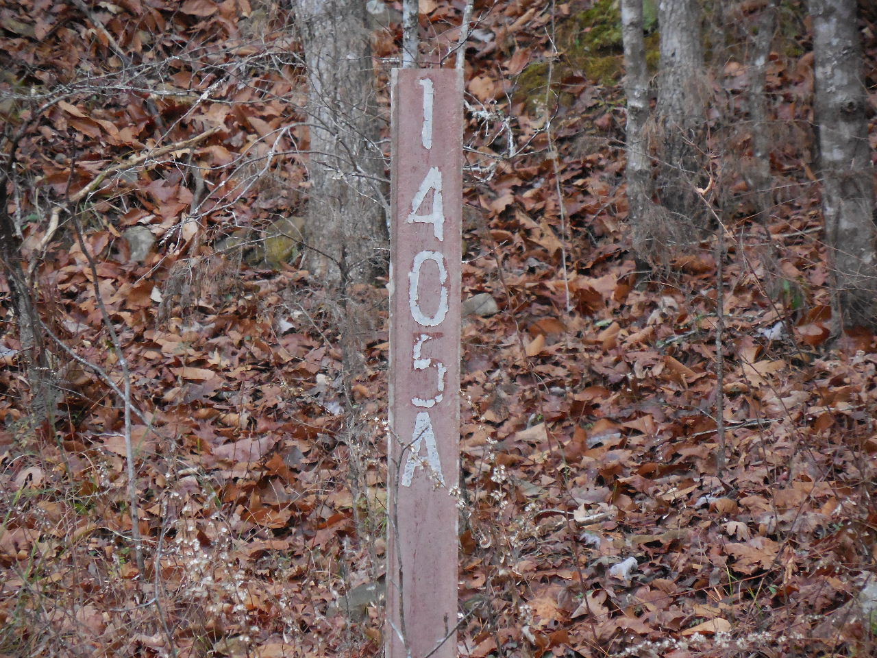
FR 1405A
(1.8 miles from intersection)
Road to Lick Creek turn right just across
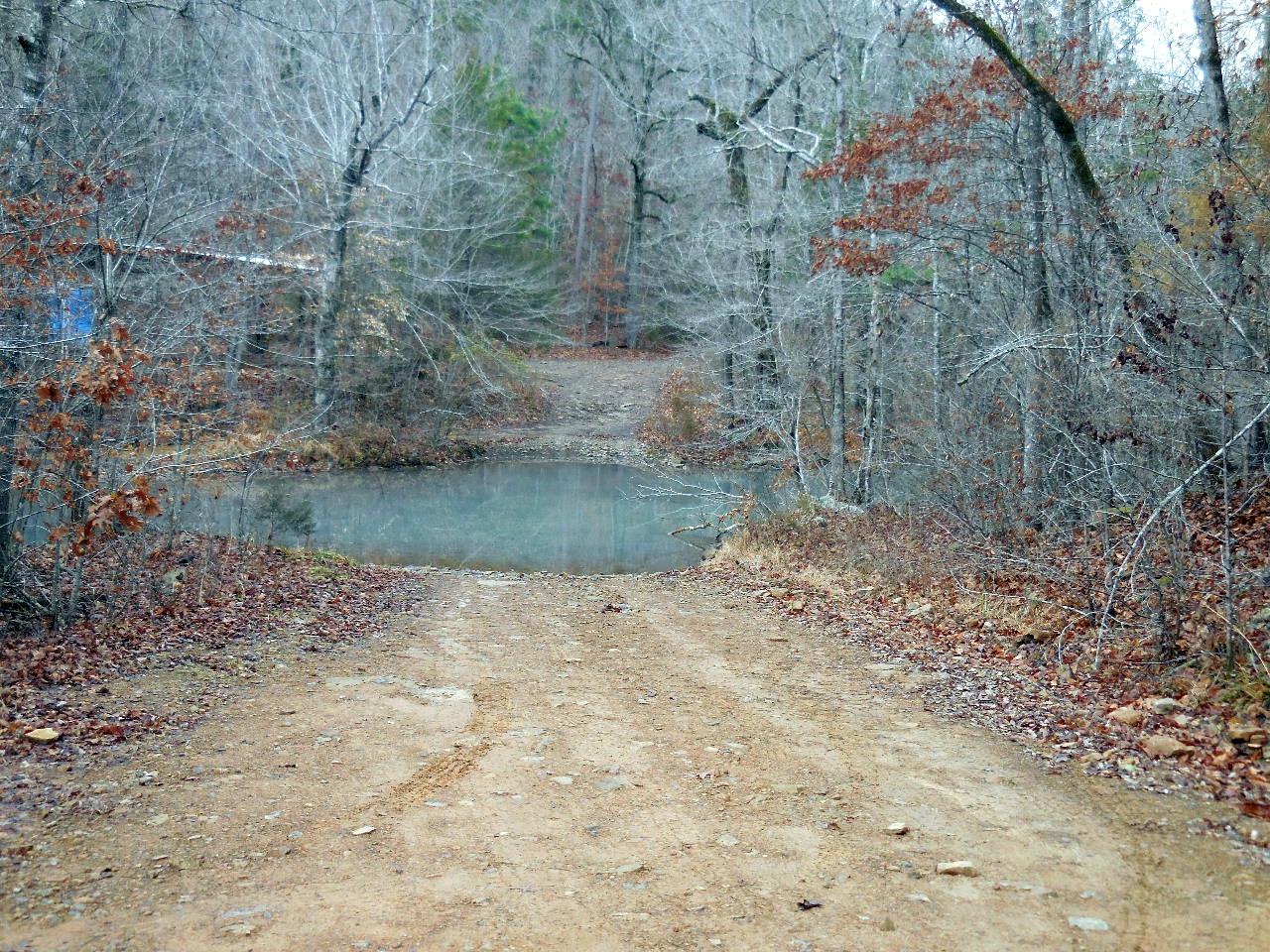
Low Water Crossing on FR 1405A
(1.9 miles to crossing)

Parking Area "A"
35.67303°, 93.36880°
(Road to this area requires 4 WD)
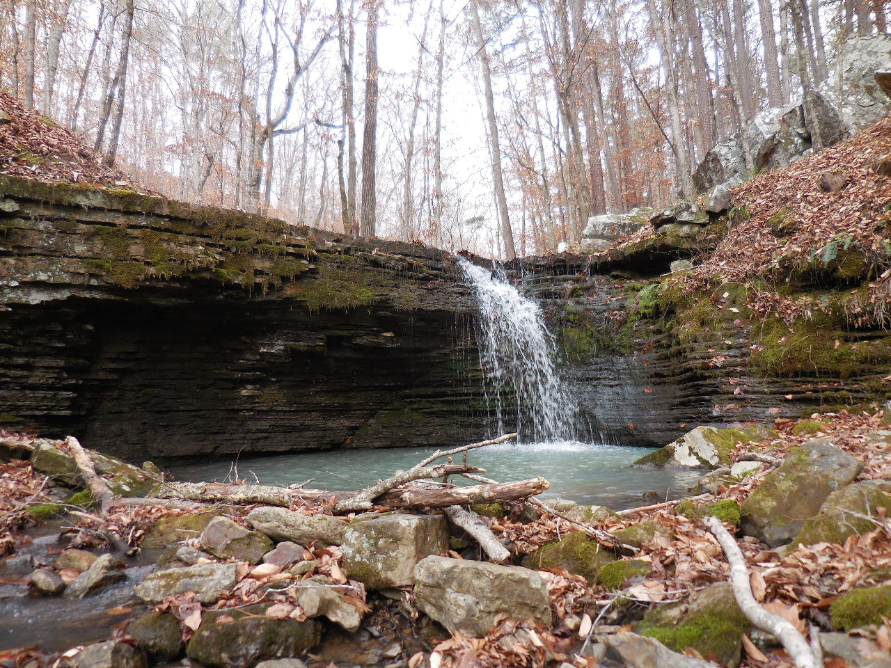
WF #3 Lower Shiner Falls
35.67403°, 93.36985°
35.67732°, 93.37190°
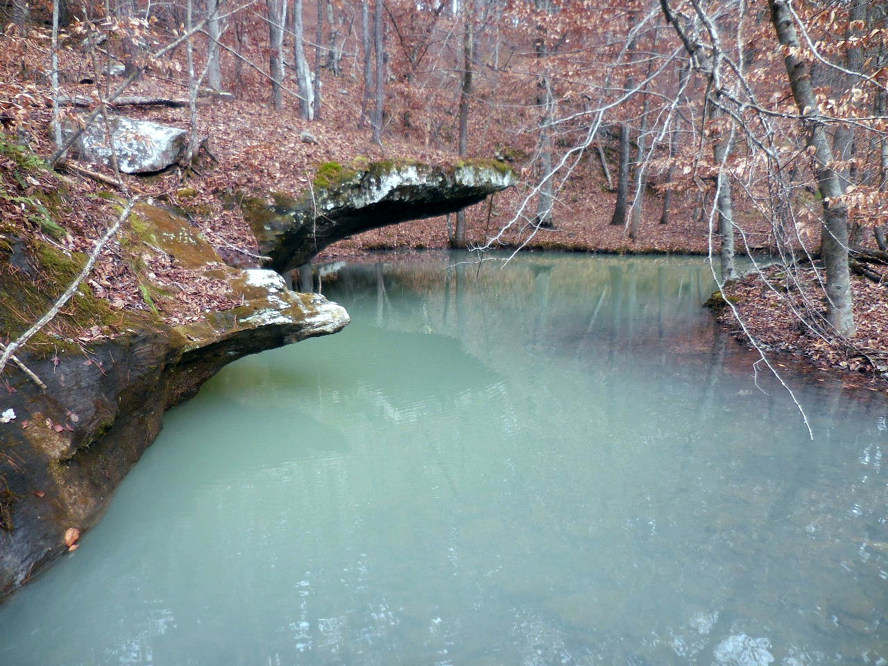
#3B Pool 35.67432°, 93.367626
Just on down road toward OHT
Parking Area "C"
35.68940°, 93.31695°
Ozark Highlands Trail heading west
WF #13
35.68769°, 93.32026°
WF #11
35.68559°, 93.32528°
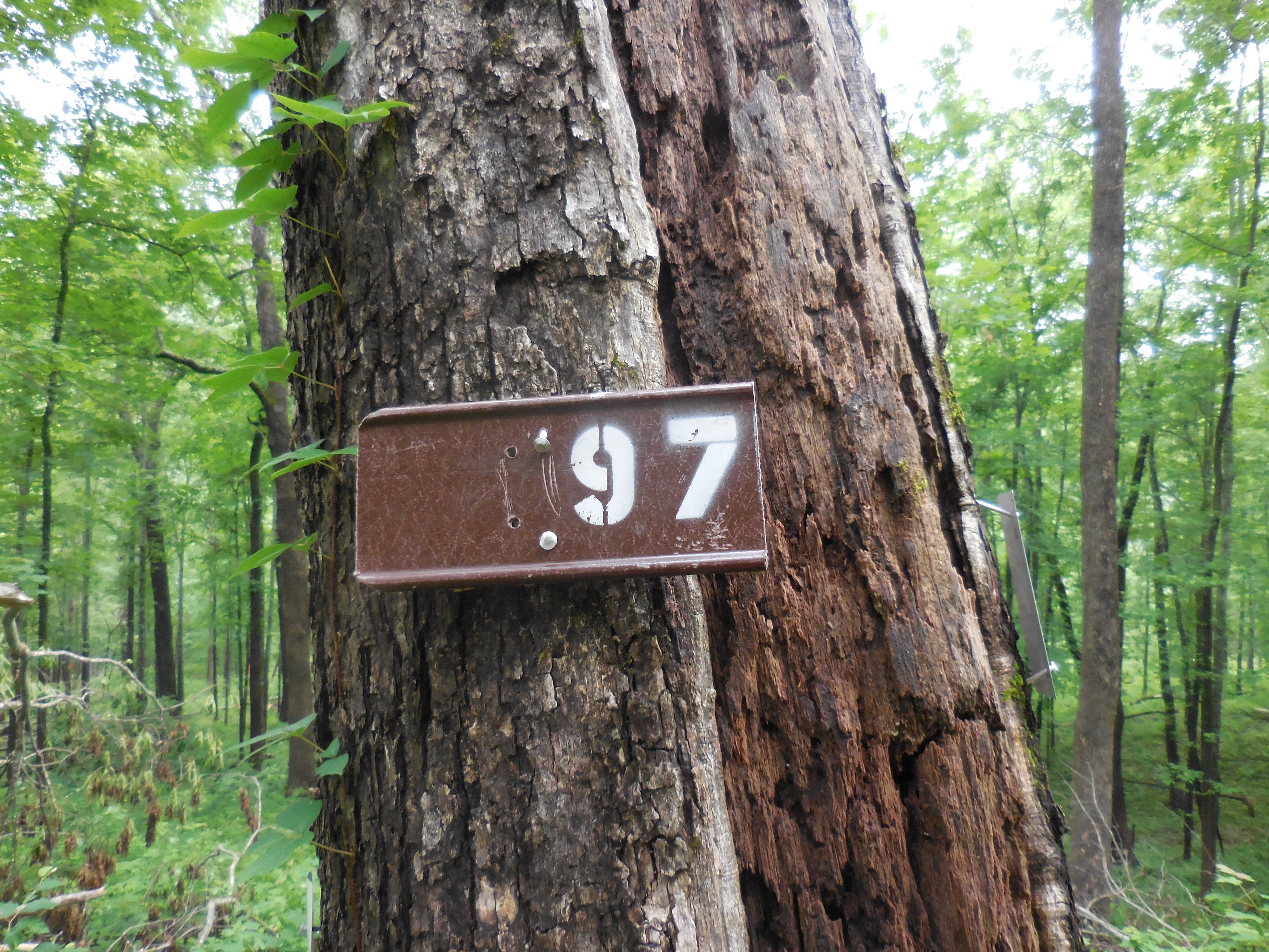
New Mile Marker 97
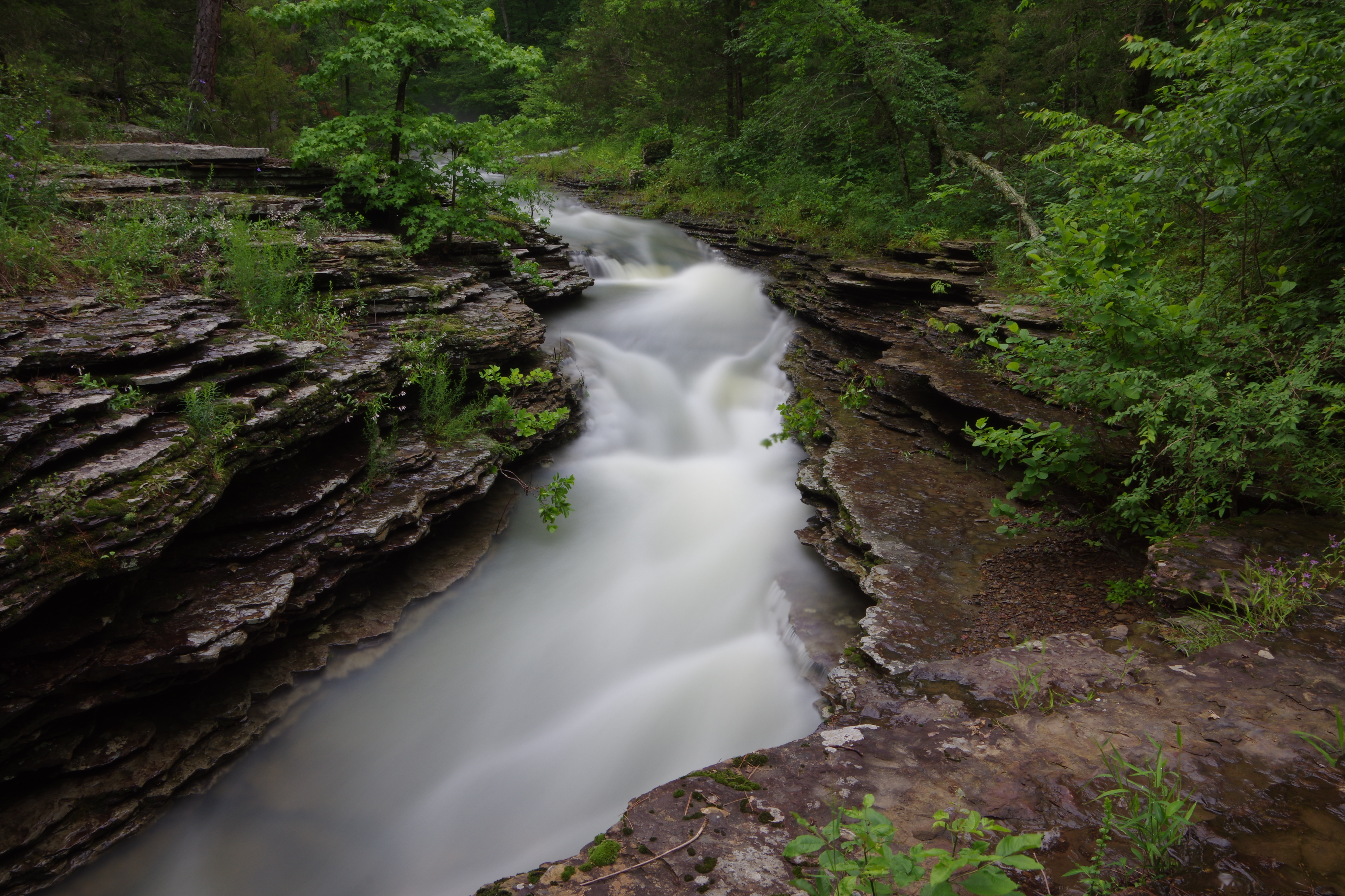
WF #9 Cedar Creek Pool (Upstream)
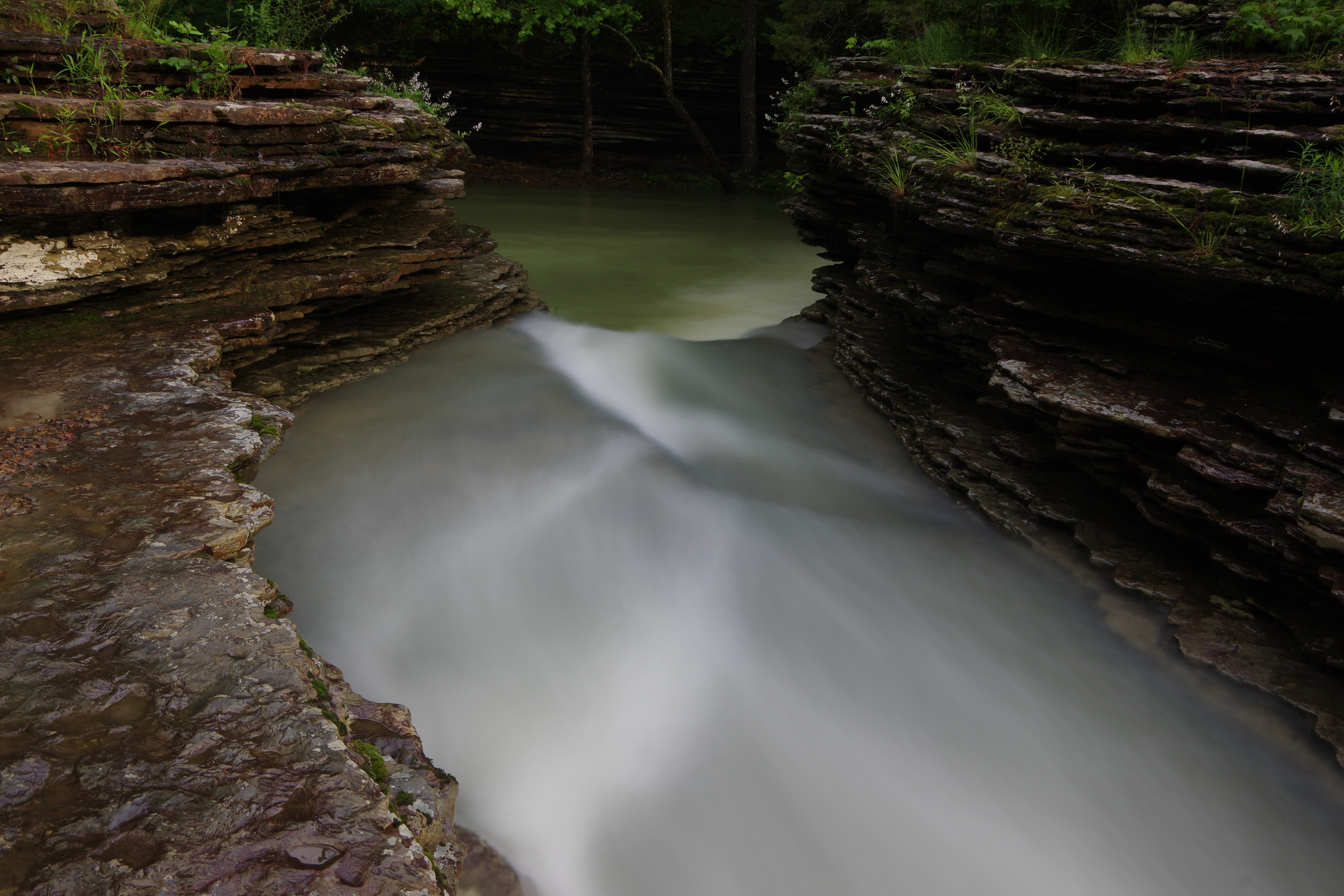
WF #9 Cedar Creek Pool
35.68272°, 93.33076°
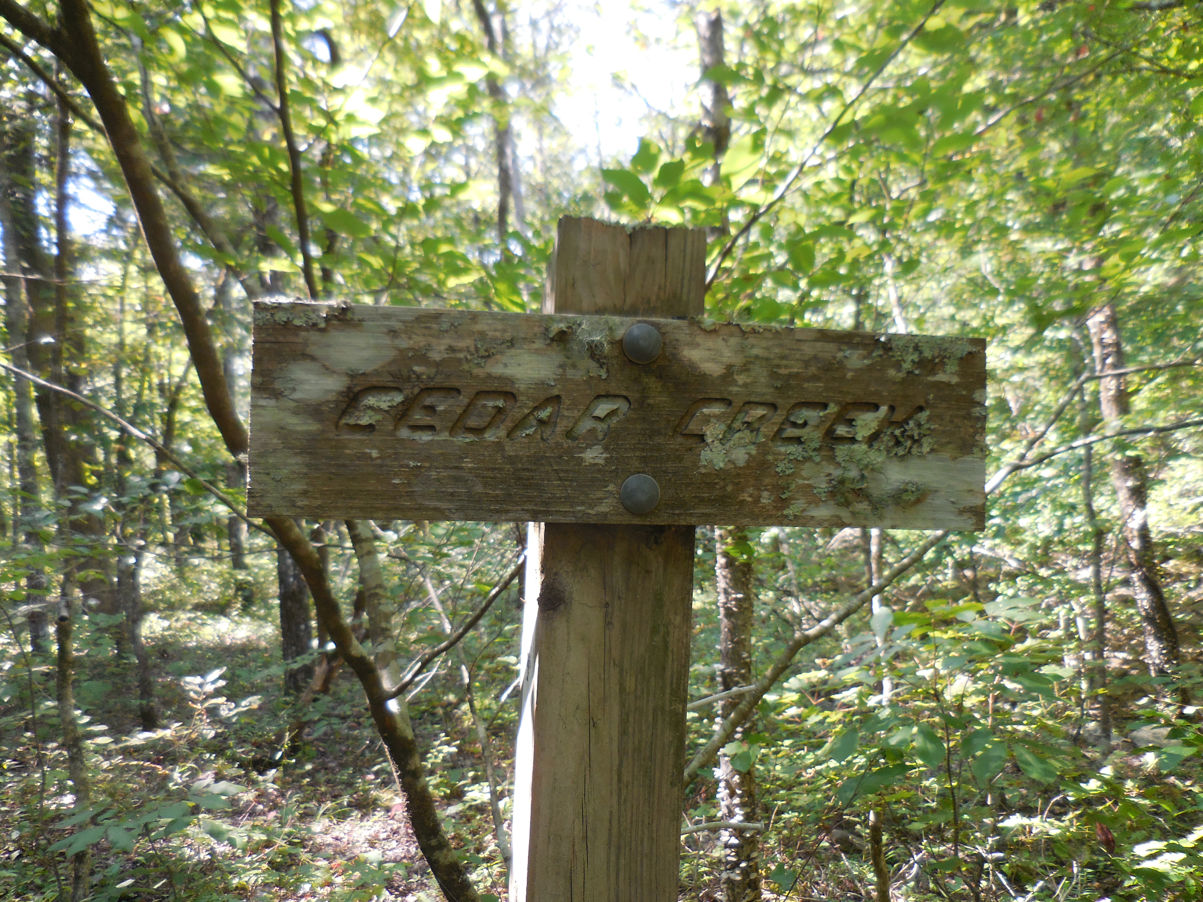
Sign at Cedar Creek Crossing
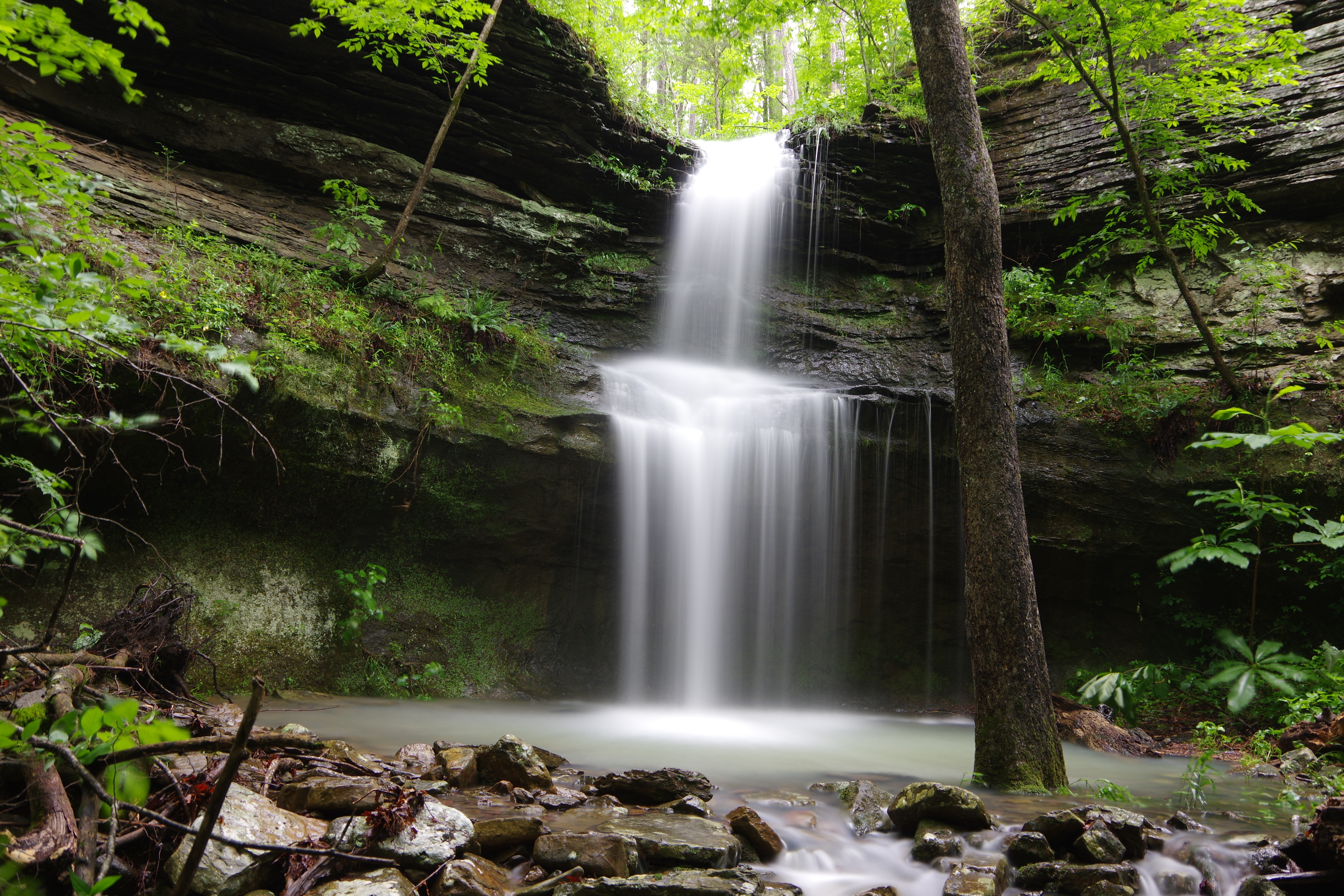
WF #8 Hobo Falls East
35.68107°, 93.33394°
WF #7 Hobo Falls West
35.68073°, 93.33502°
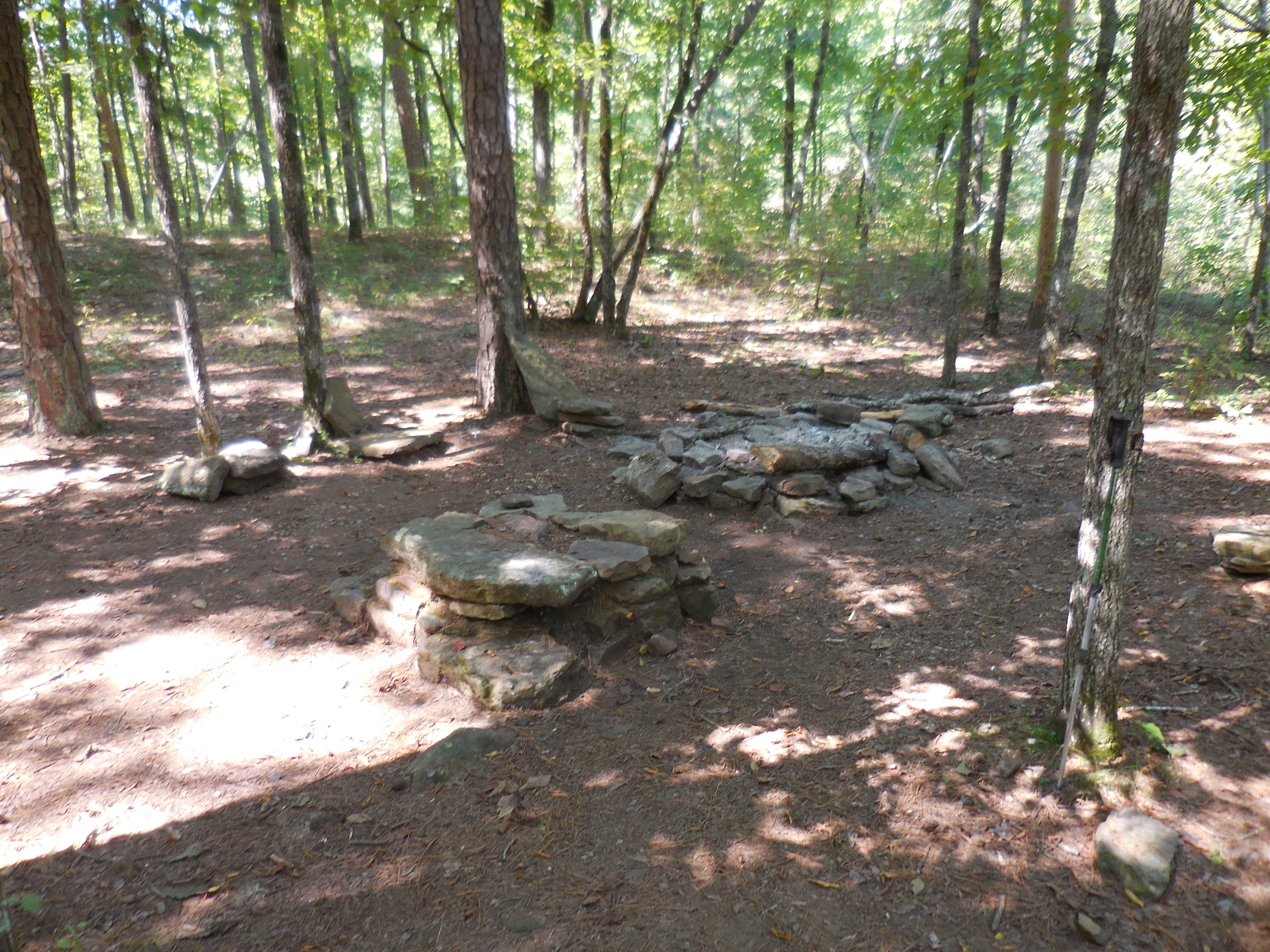
Typical Campsite
(Near Cedar Creek Pool)
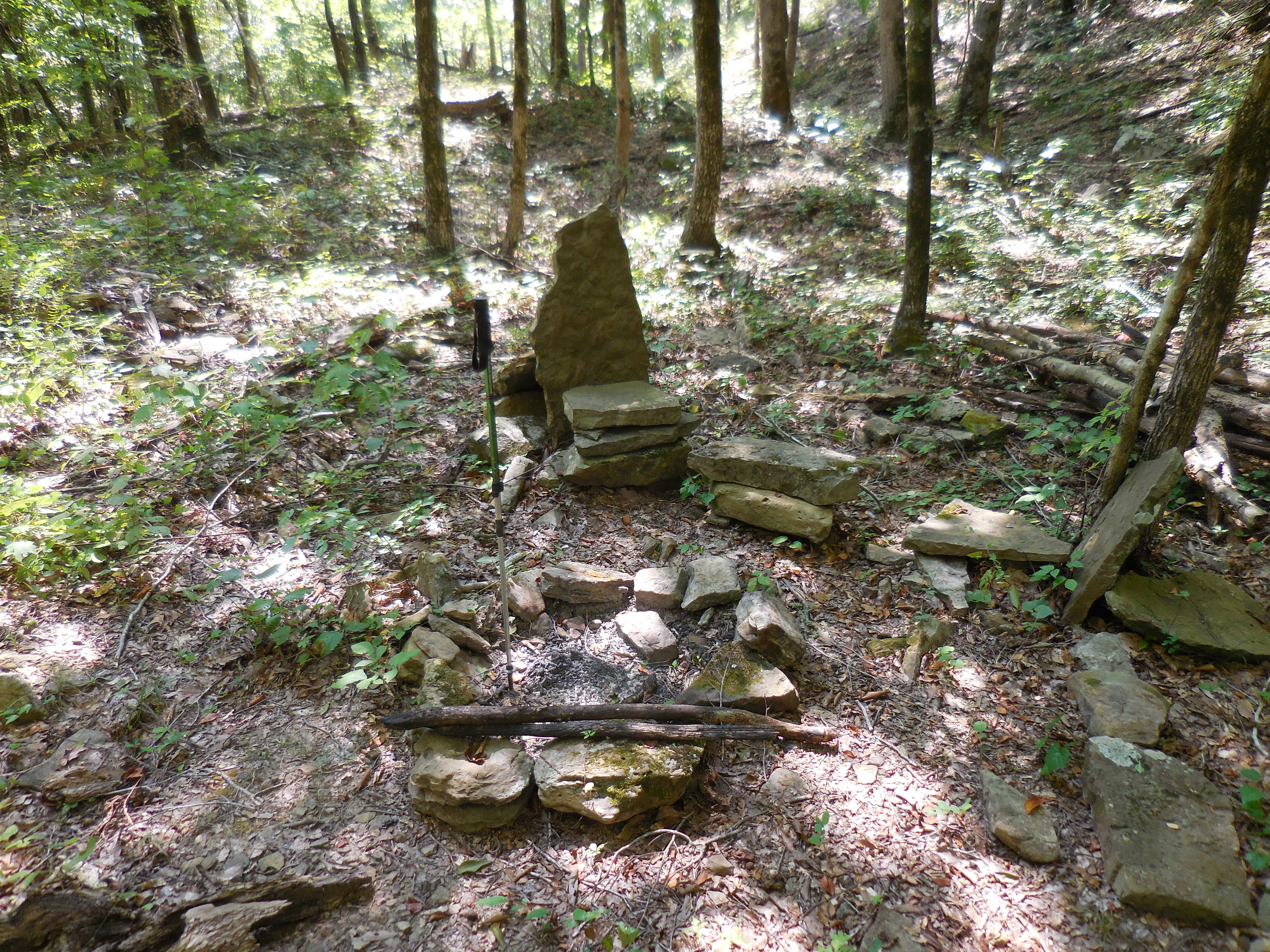
Another campsite
(North side Cedar Creek)
WF #10
35.68157°, 93.32672°
WF #12
35.68706°, 93.32202°
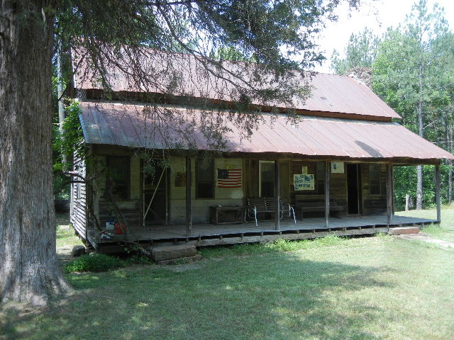
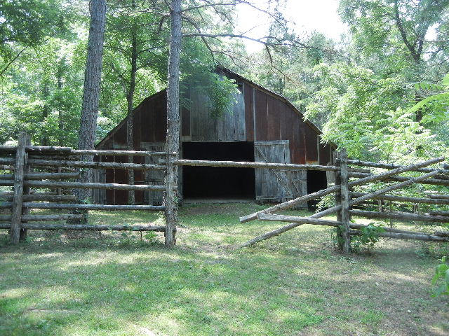
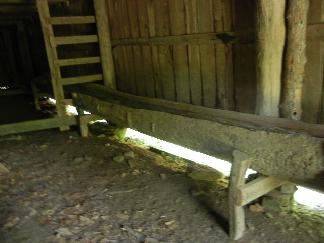
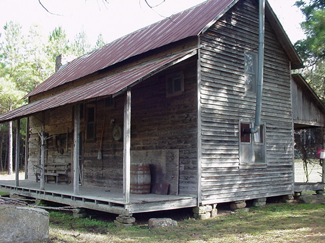
Spurgeon Warren Homestead
35.67272°, 93.38155°
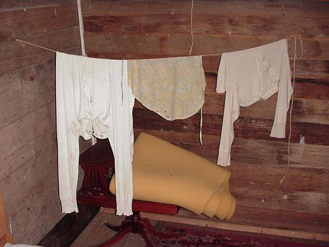
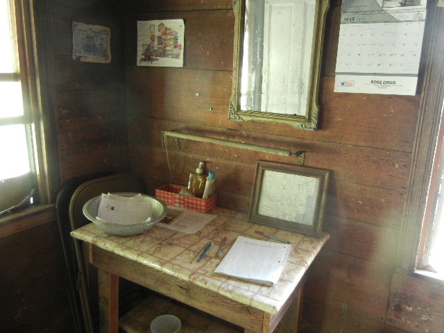
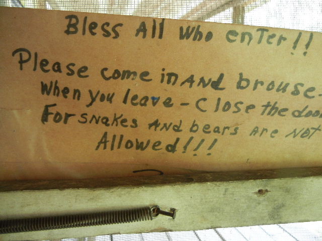
The old homestead is open for visitors....
most of the time?
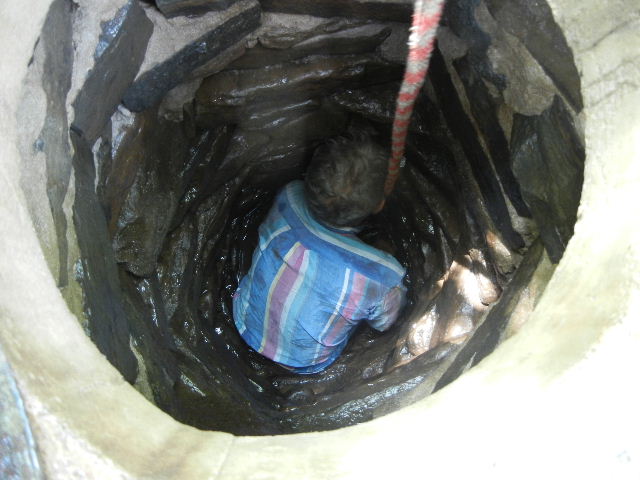
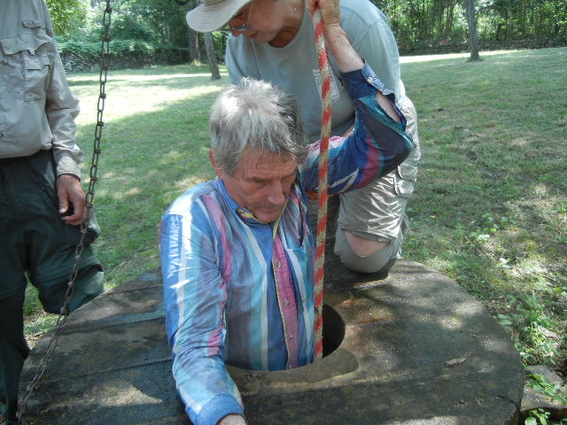
Bub Pearson
(Helping him out after cleaning the well)
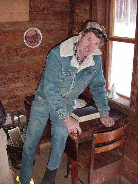
Bub Pearson (Owner)