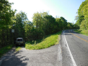
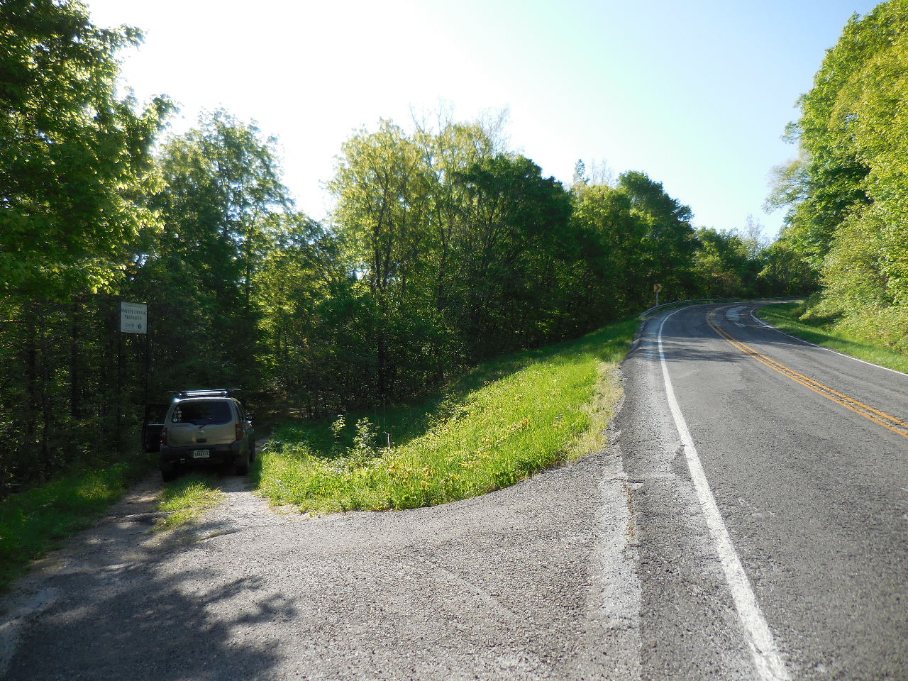
Hwy. 21 and Access Road |

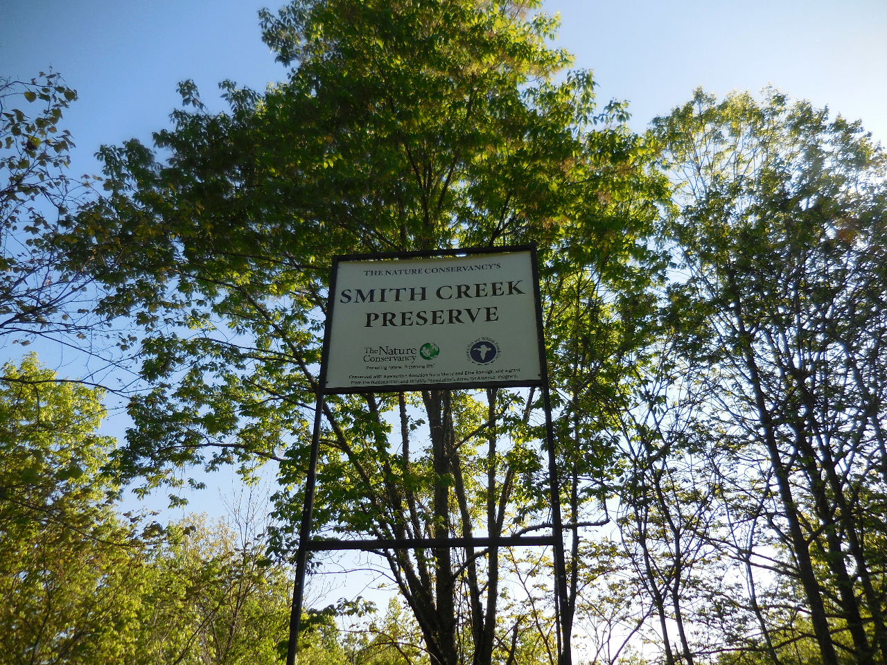
Sign at Access Road |
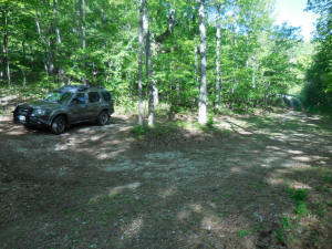
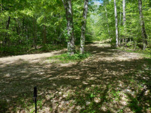
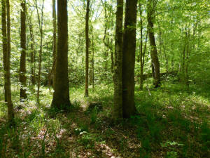
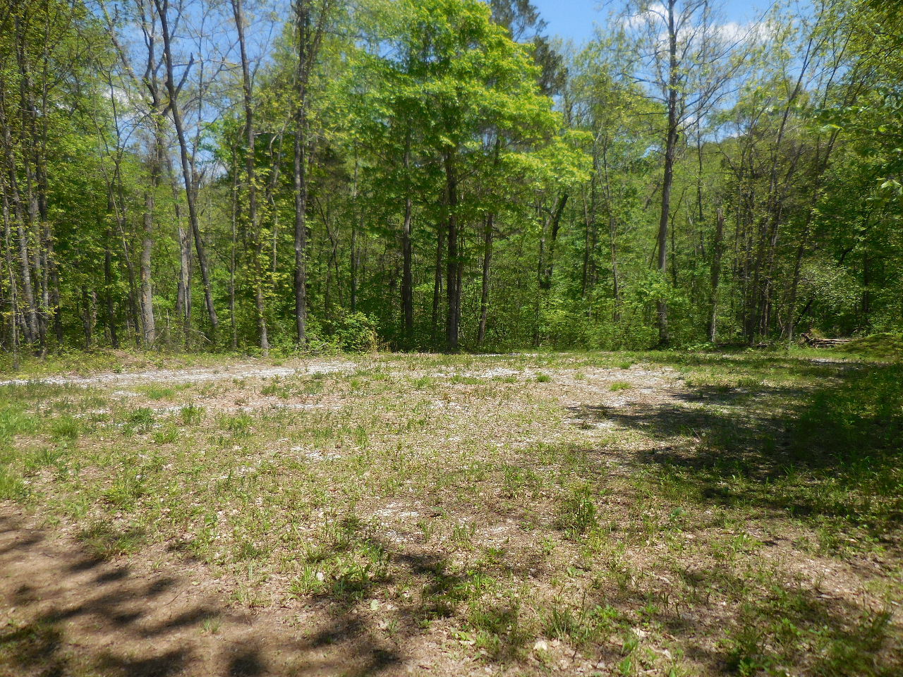
Parking Area
35.93444°, 93.38573° |
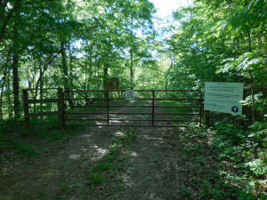
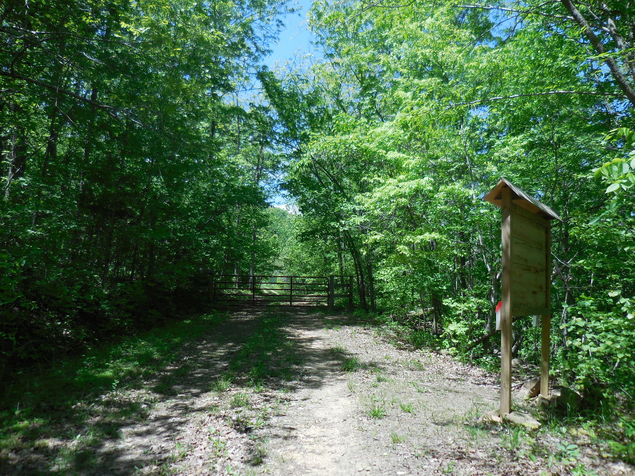
Access Point #1 Gate (Locked most of the time)
35.93436°, 93.38548° |
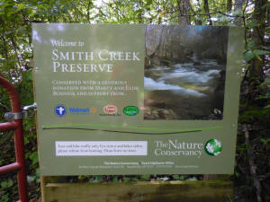
Sign at #1 Gate
(Main Trail begins at Gate) |
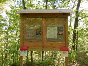
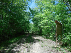
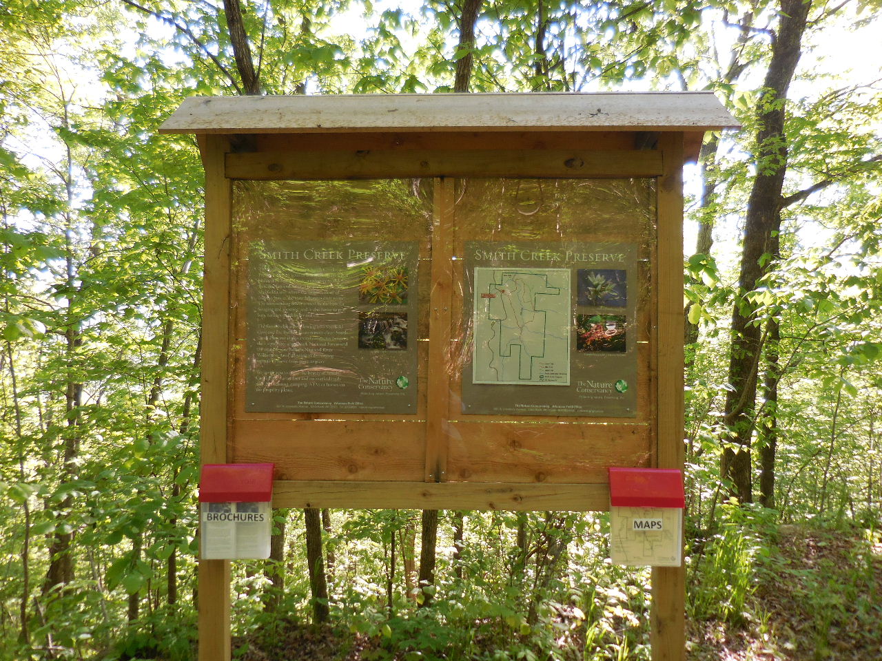
Bulletin Board
(Contains Maps and Brochures) |
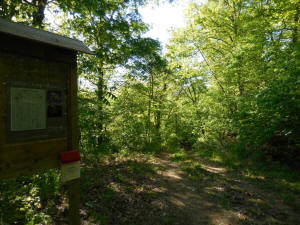
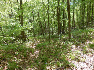
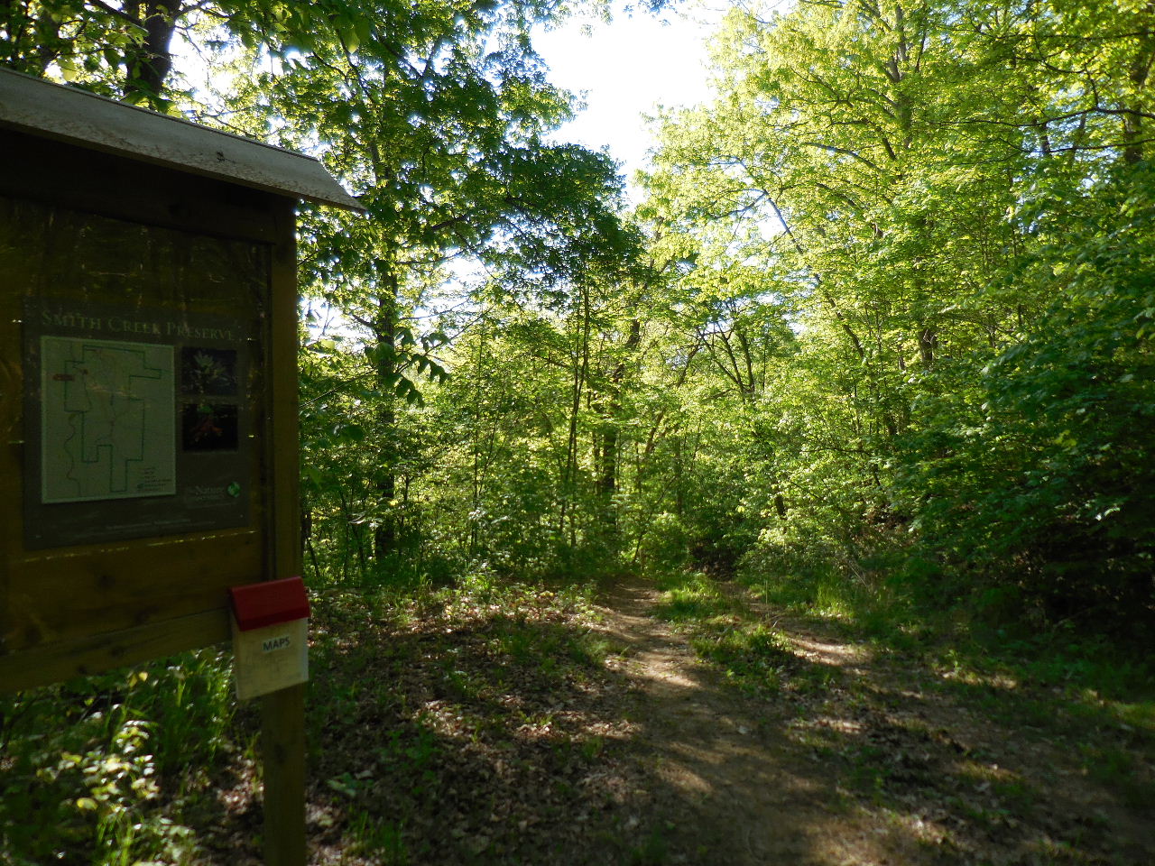
Follow old road downhill.... |
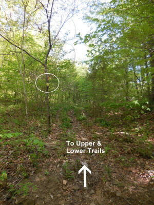
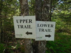
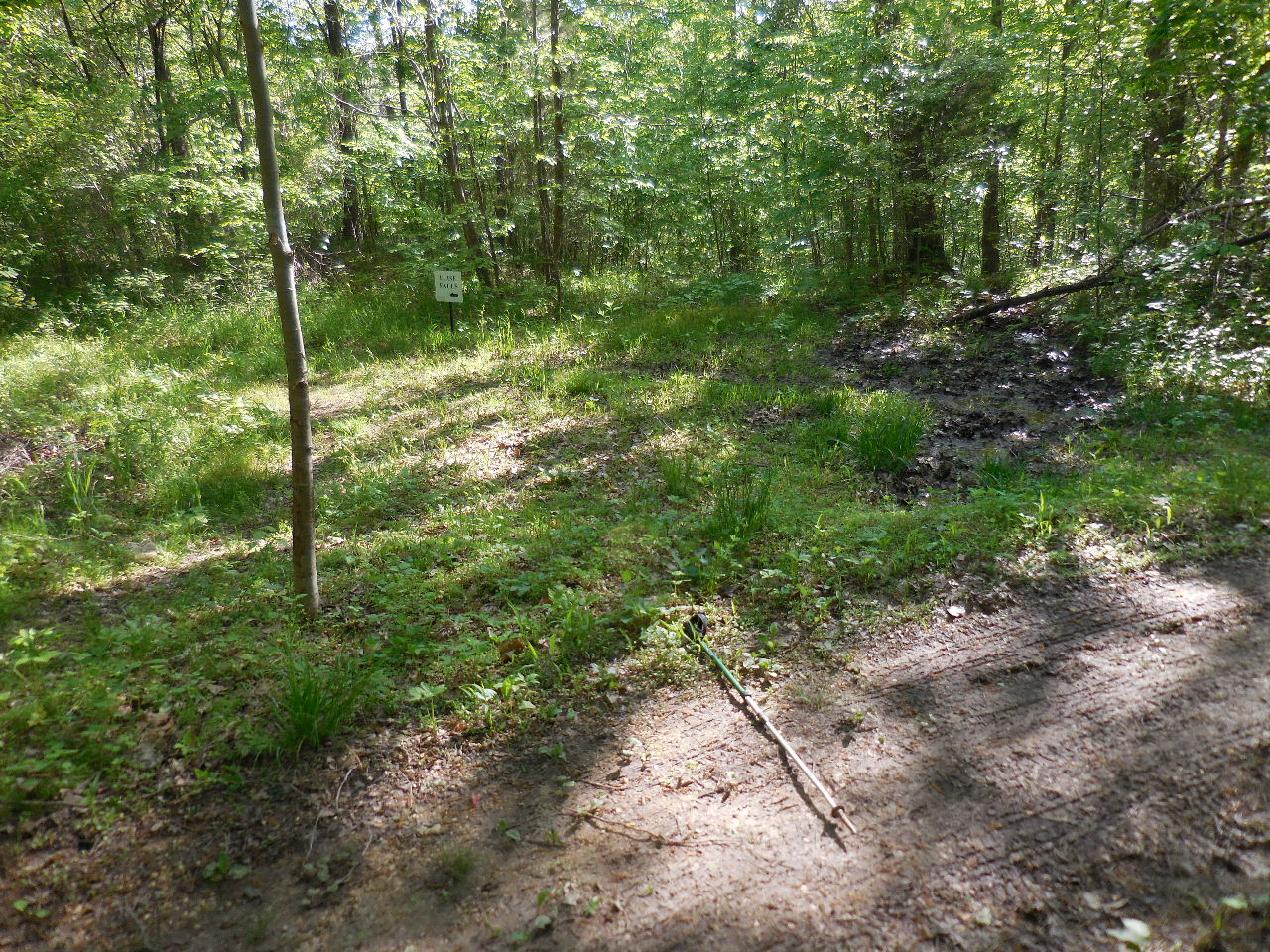
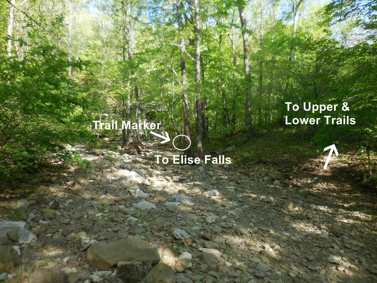
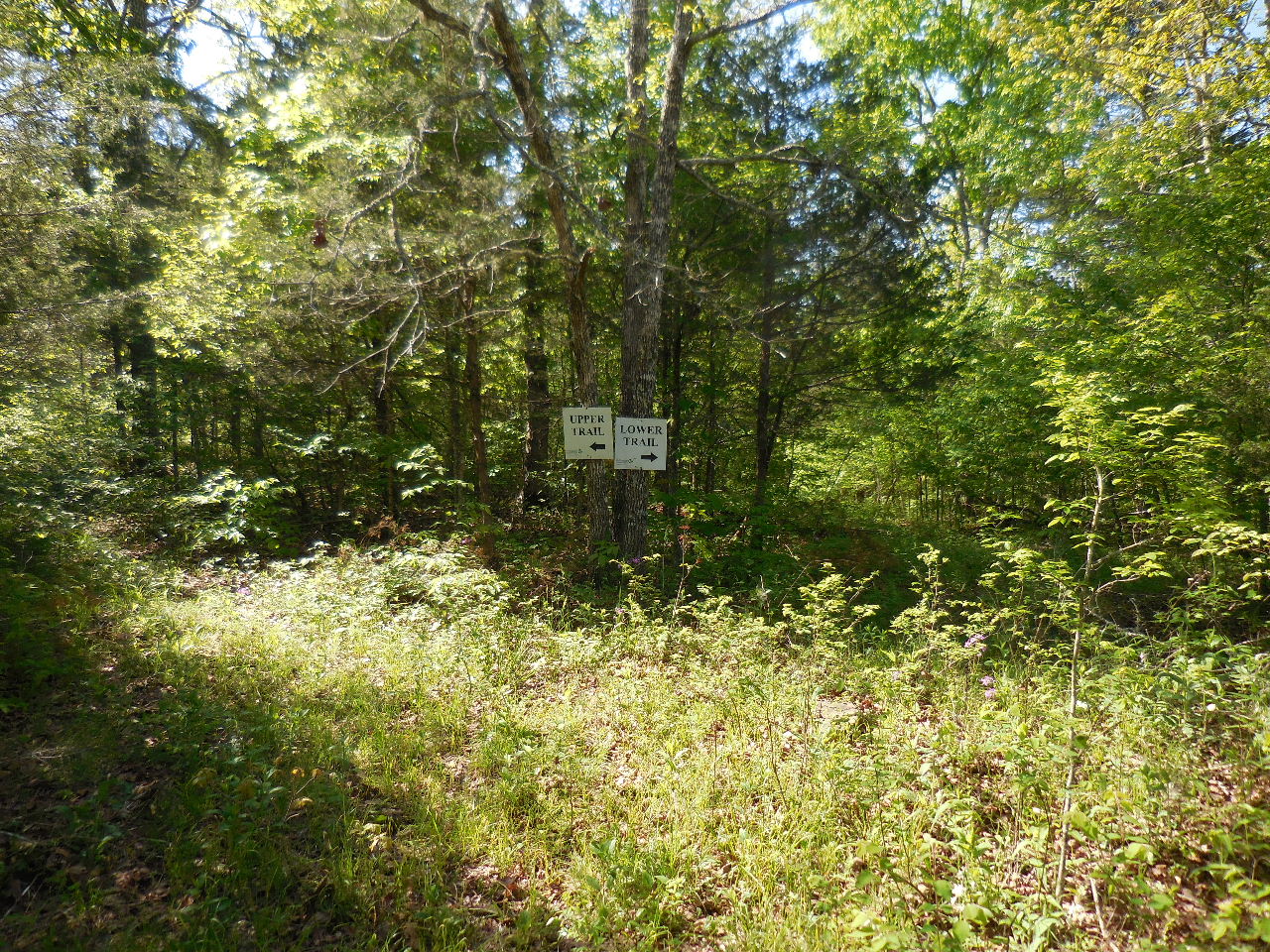
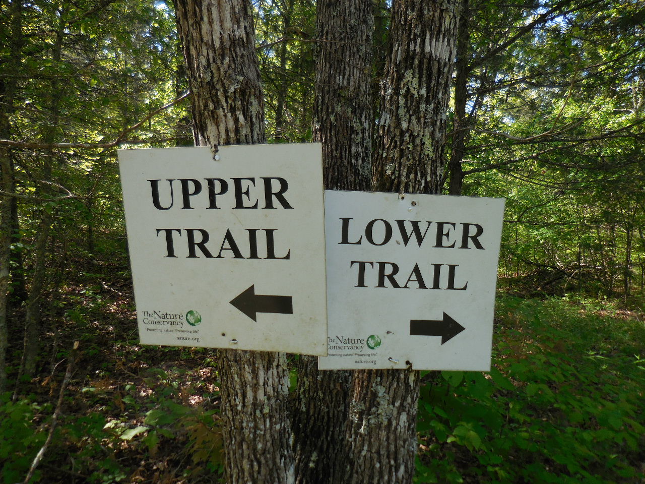
Access Point#2 Intersection of Main Trail
and
Trail to Elise Falls and Upper and Lower Trail
35.93314°, 93.38314° |
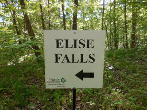
Sign at Intersection
(Trail follows old road to Smith Creek) |
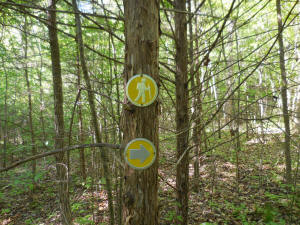
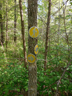
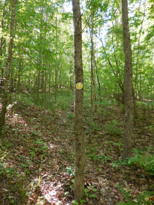
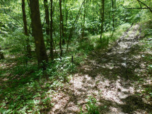
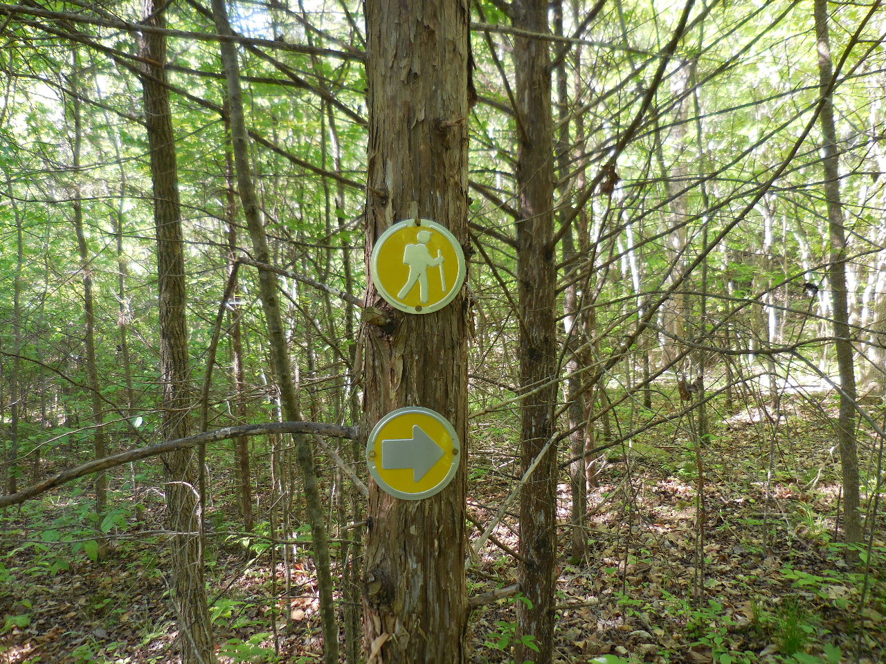
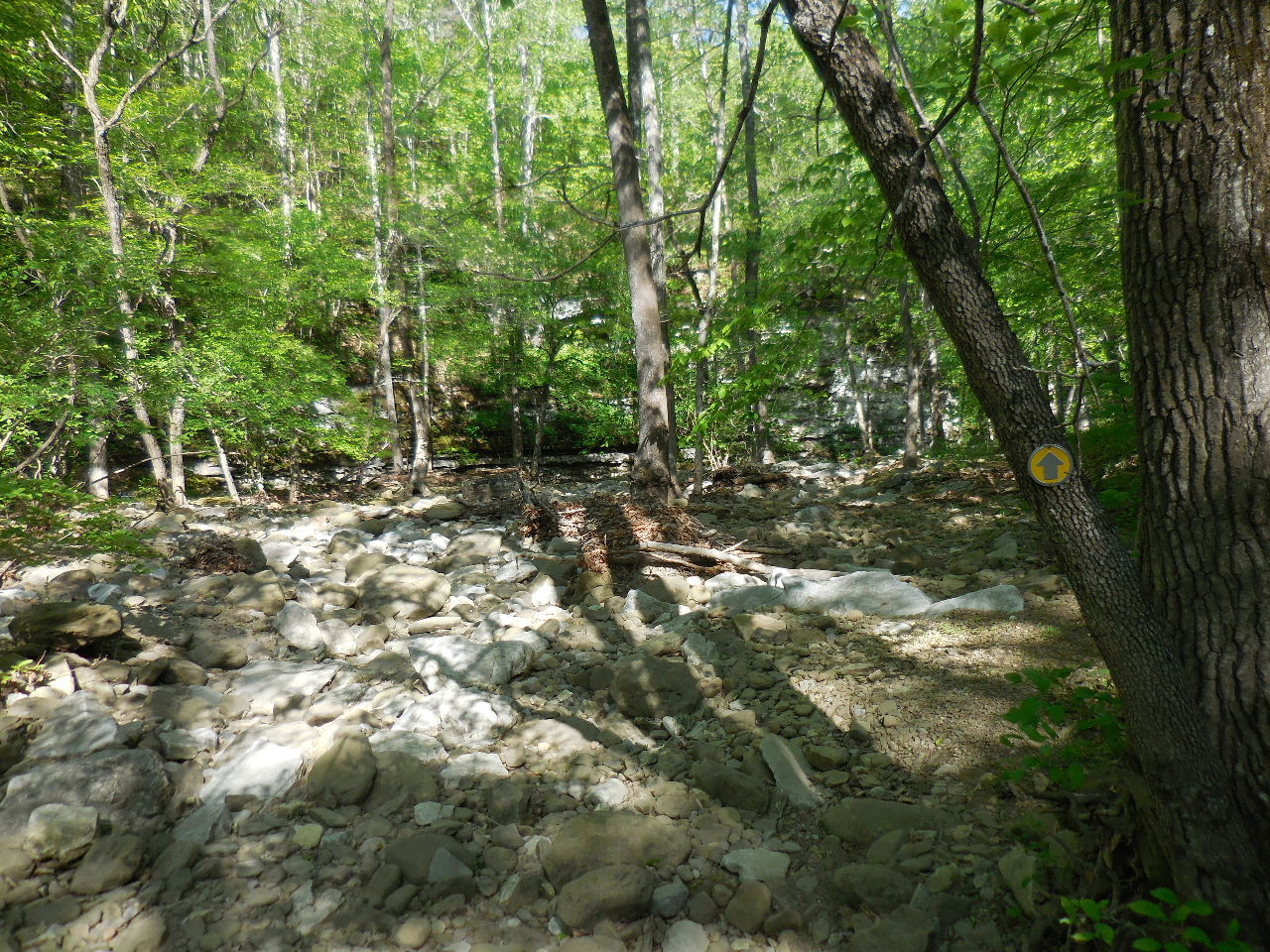
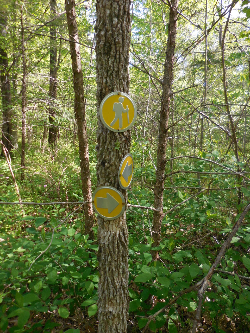
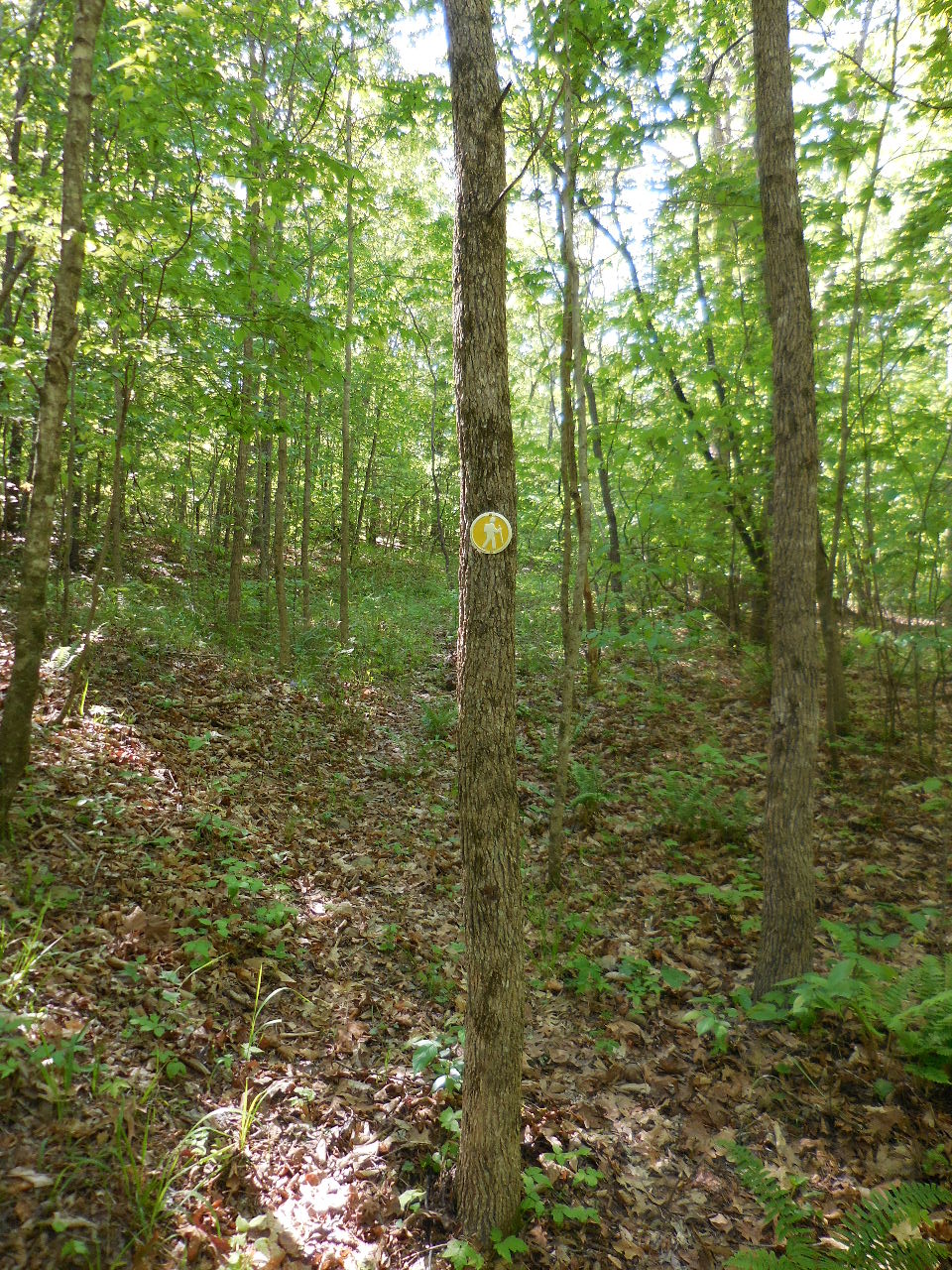
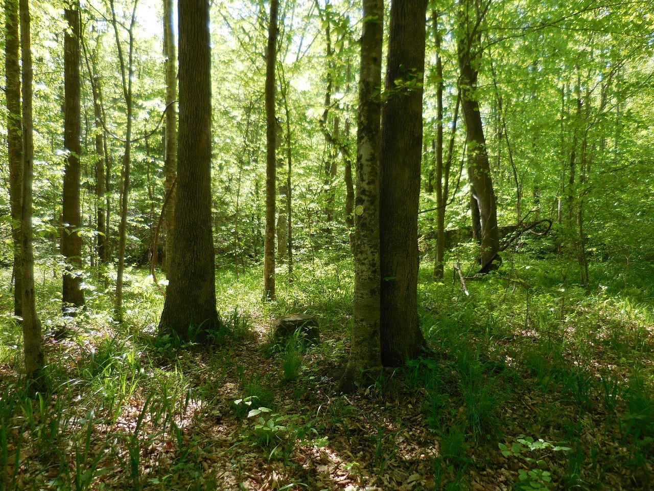
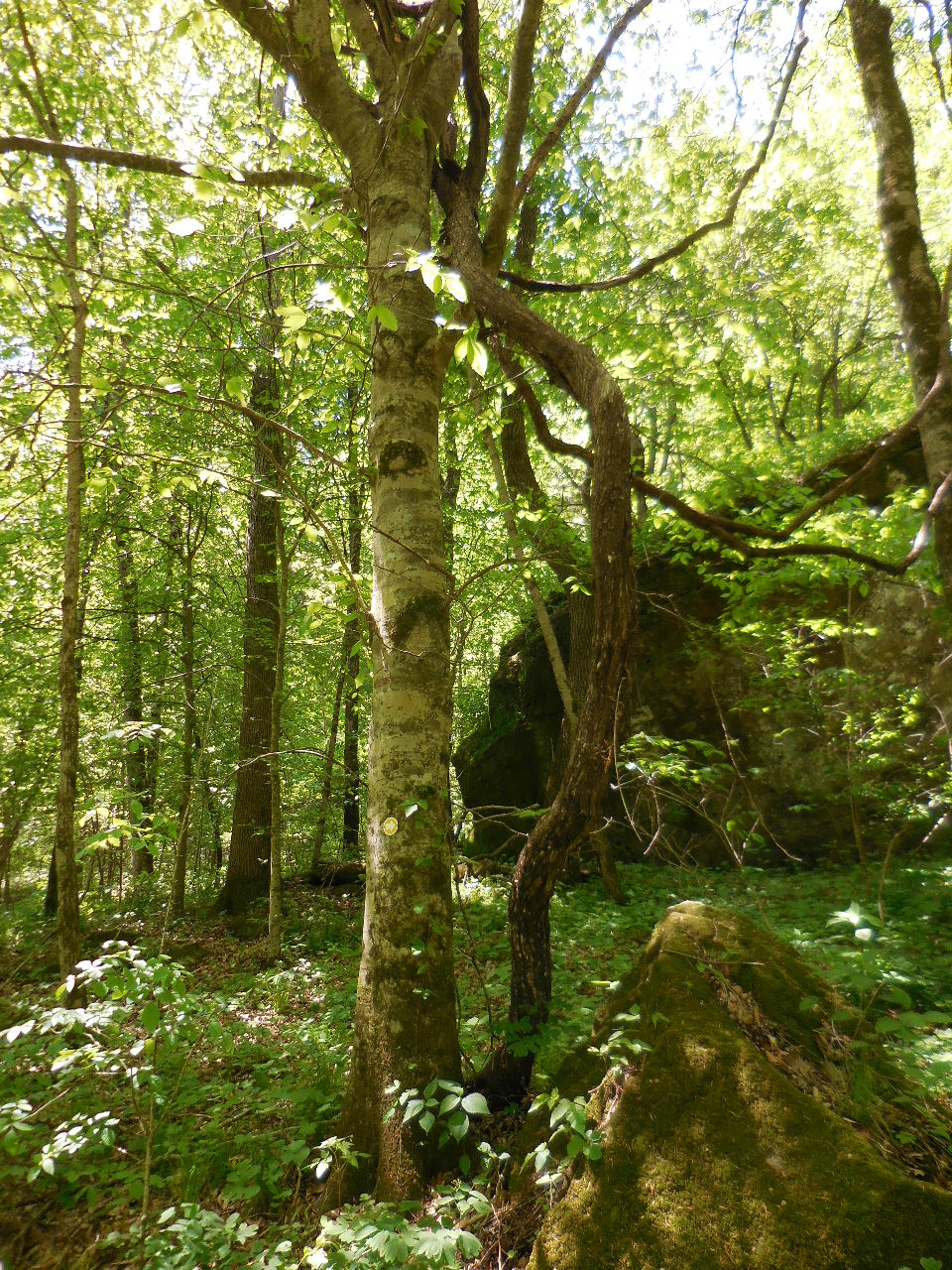
Typical Trail Markers |

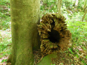
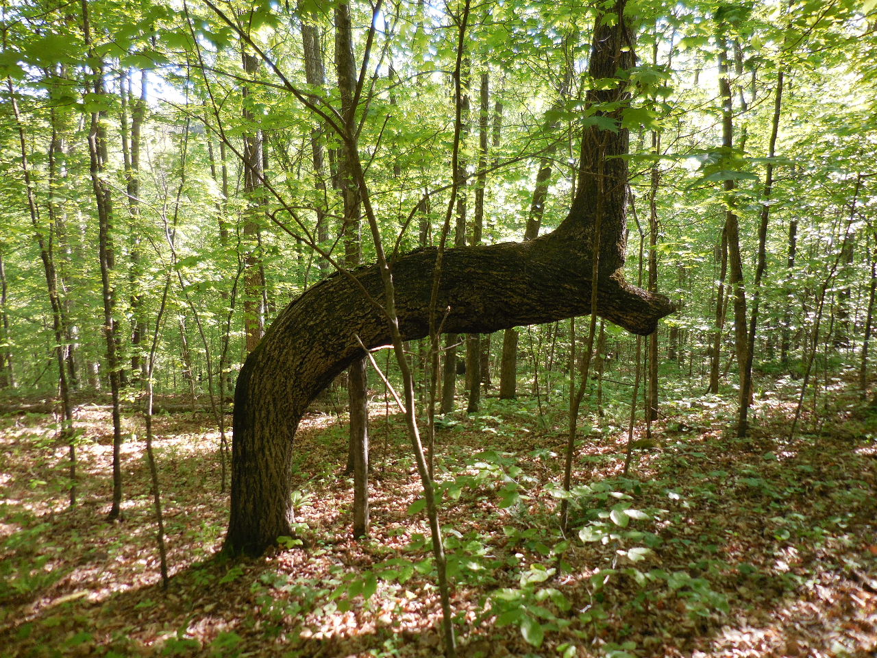
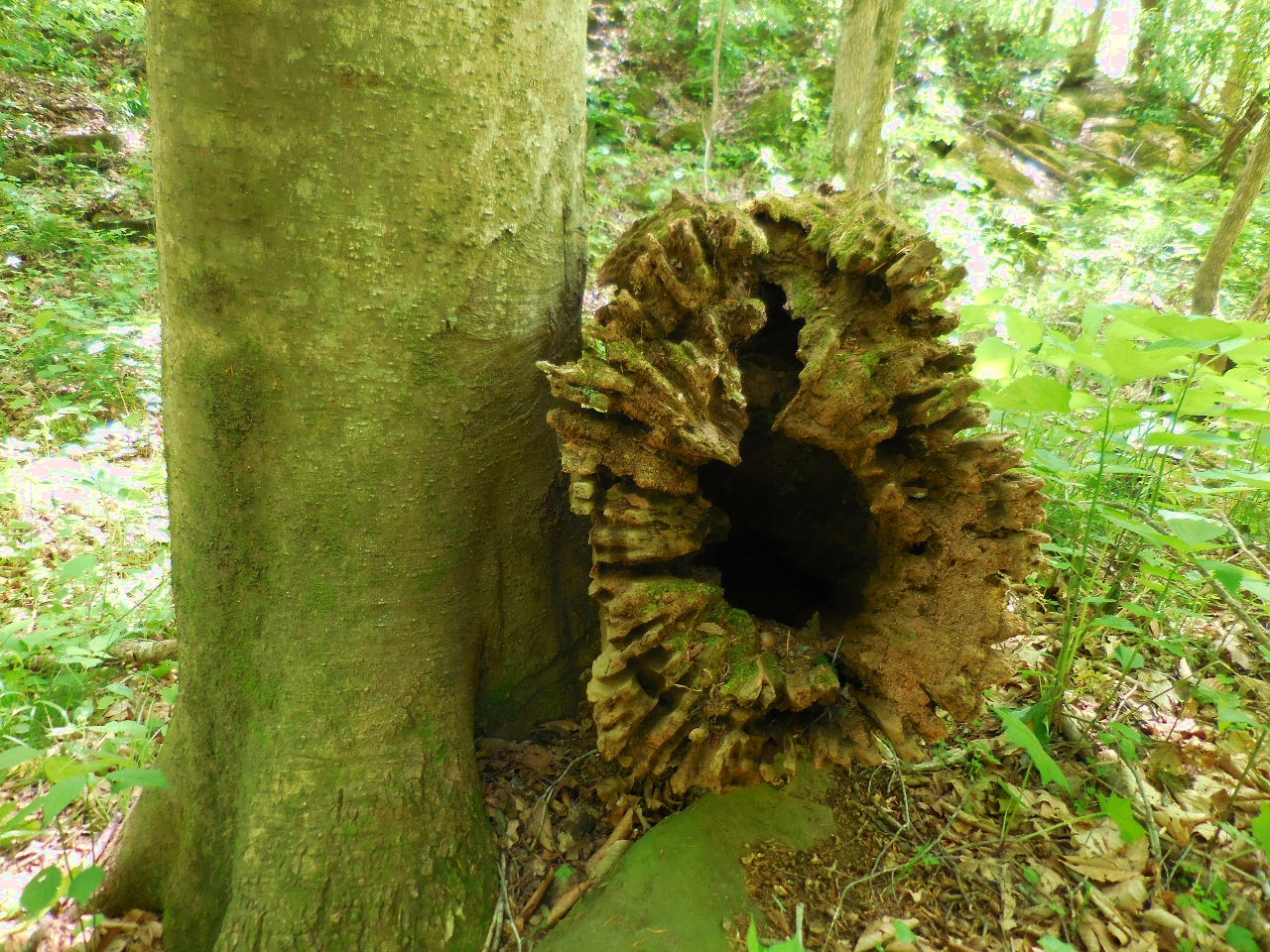
Possible Thone Tree ?
35.93429°, 93.38056°
(On the right just before you get to Smith Creek) |
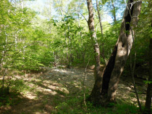
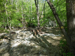
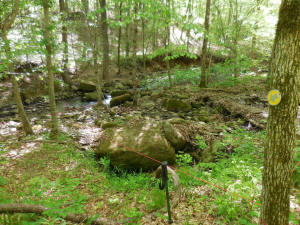
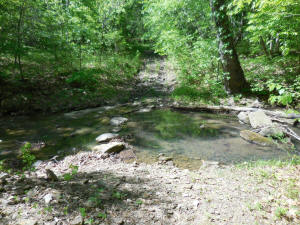
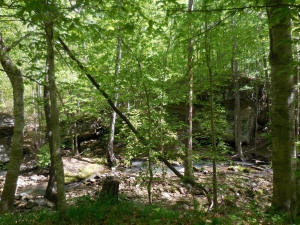
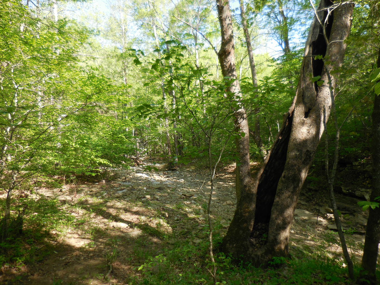
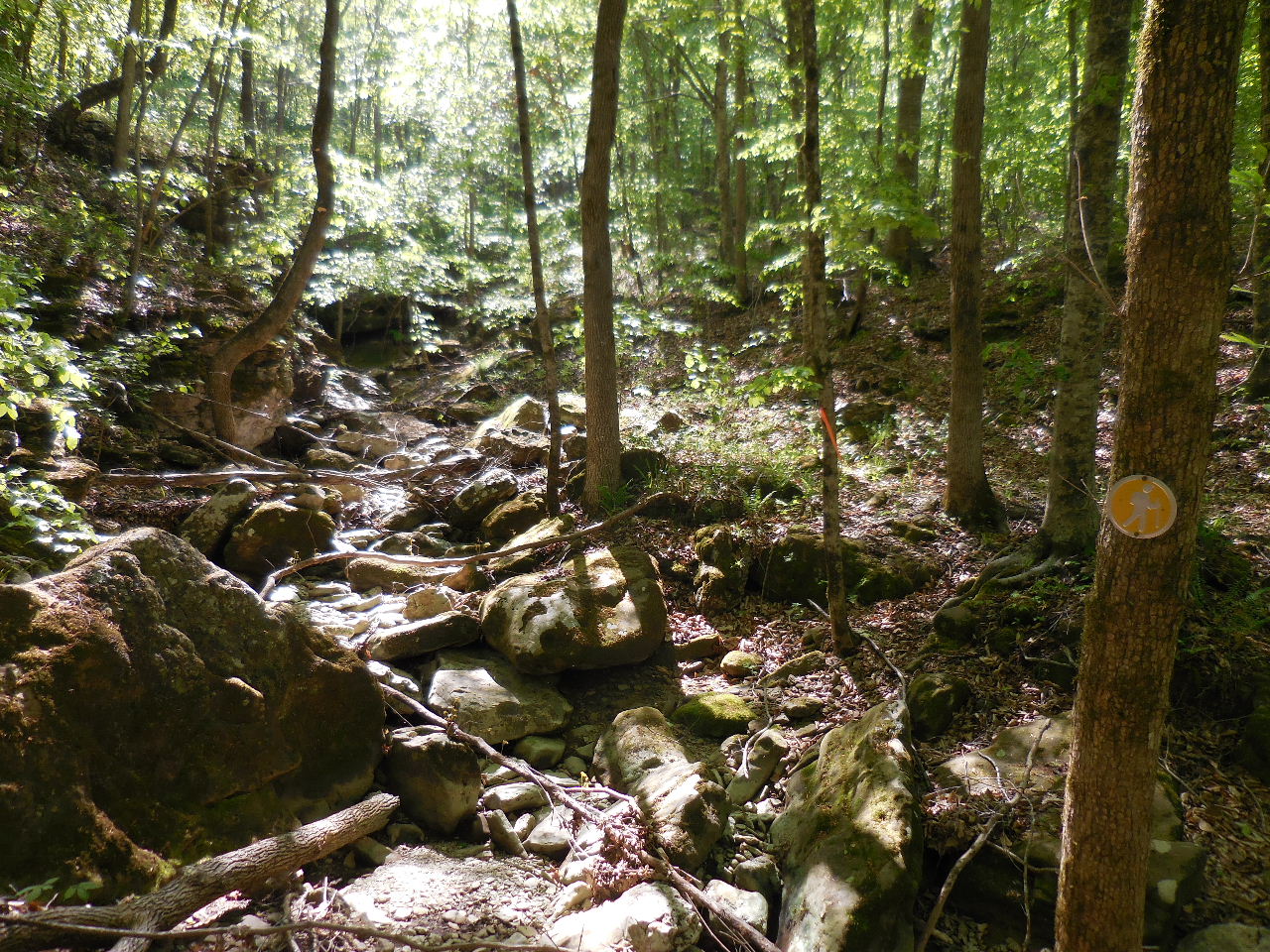
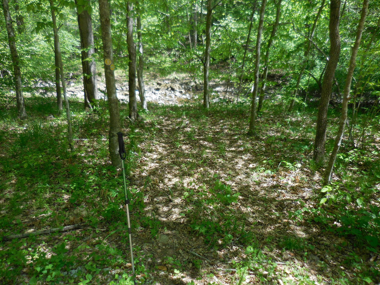
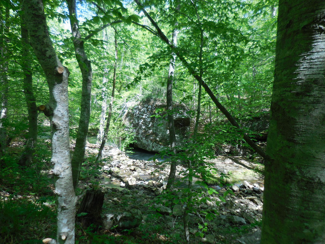
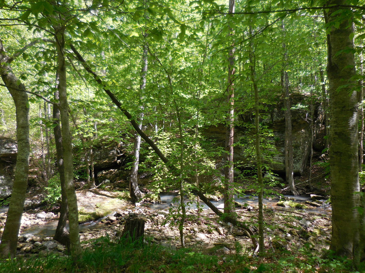
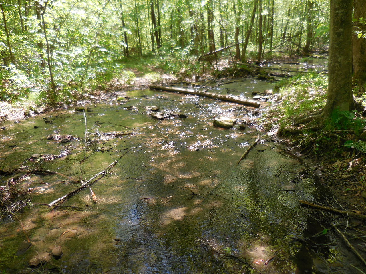
Smith Creek
35.93776°, 93.38154°
(Trail crossing creek at this point) |

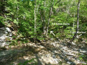
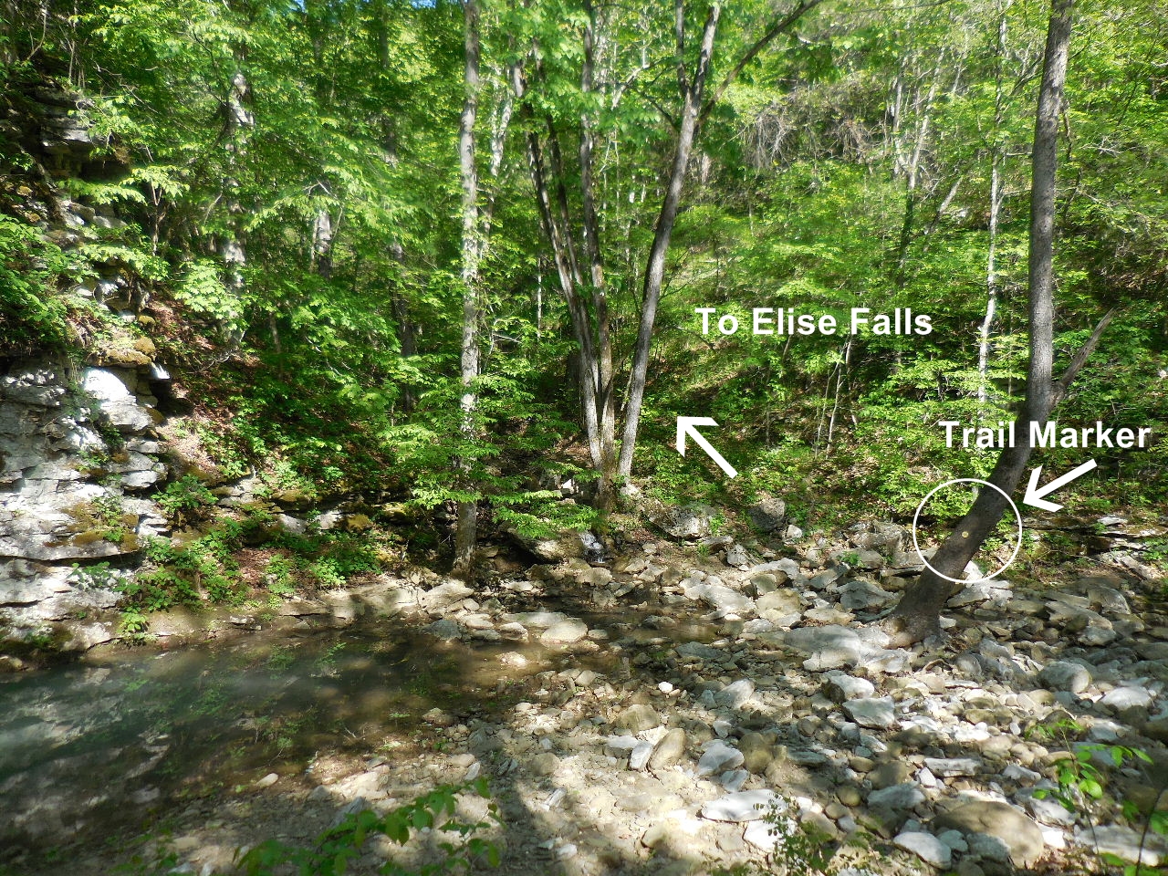
Once you cross the creek, follow creek
north to
Elise Falls. Upper & Lower Trails are on the
right. |
Stay on right edge of creek to get to
Elise Falls drainage. |
You will eventually have to cross
Smith Creek
again at Trail Marker and go up the first
drainage you come to.
35.93815°, 93.38202° |

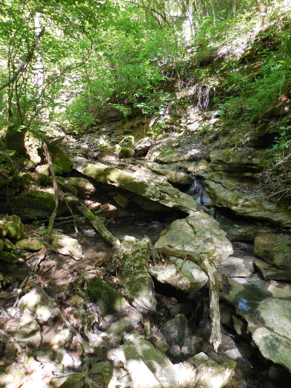
Follow this drainage a short distances
to Elise Falls |
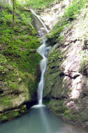
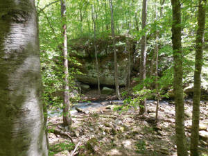
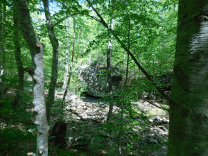
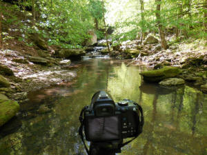
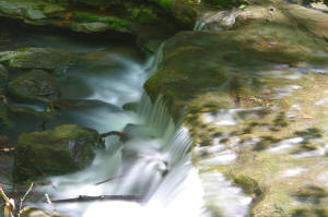
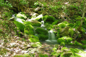
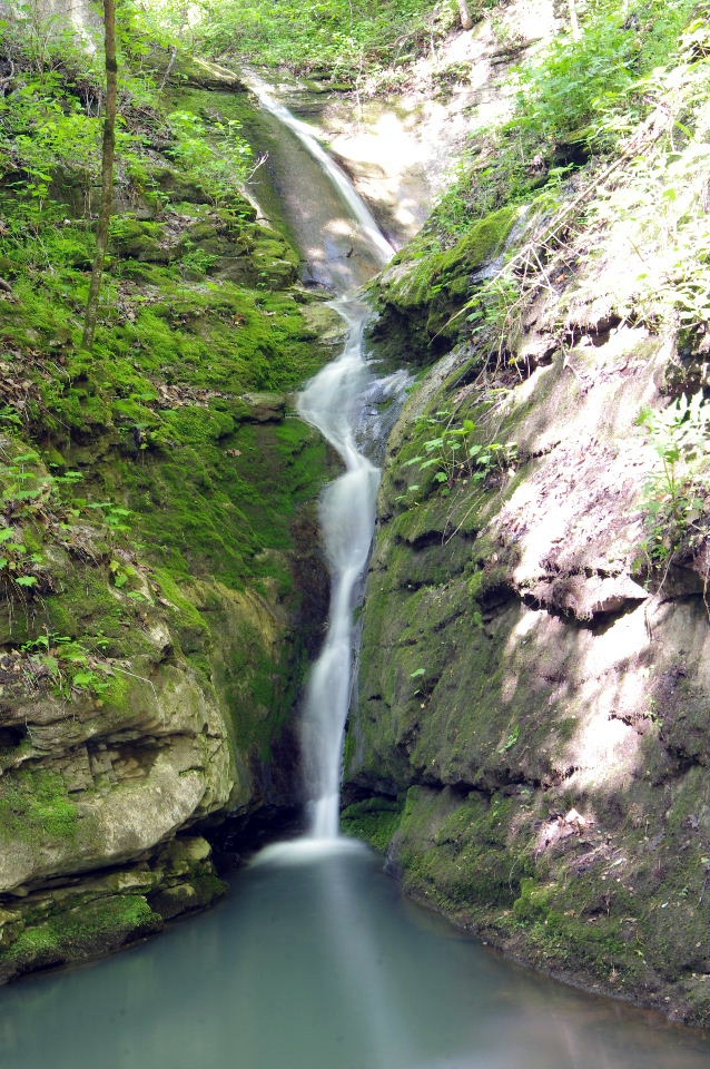
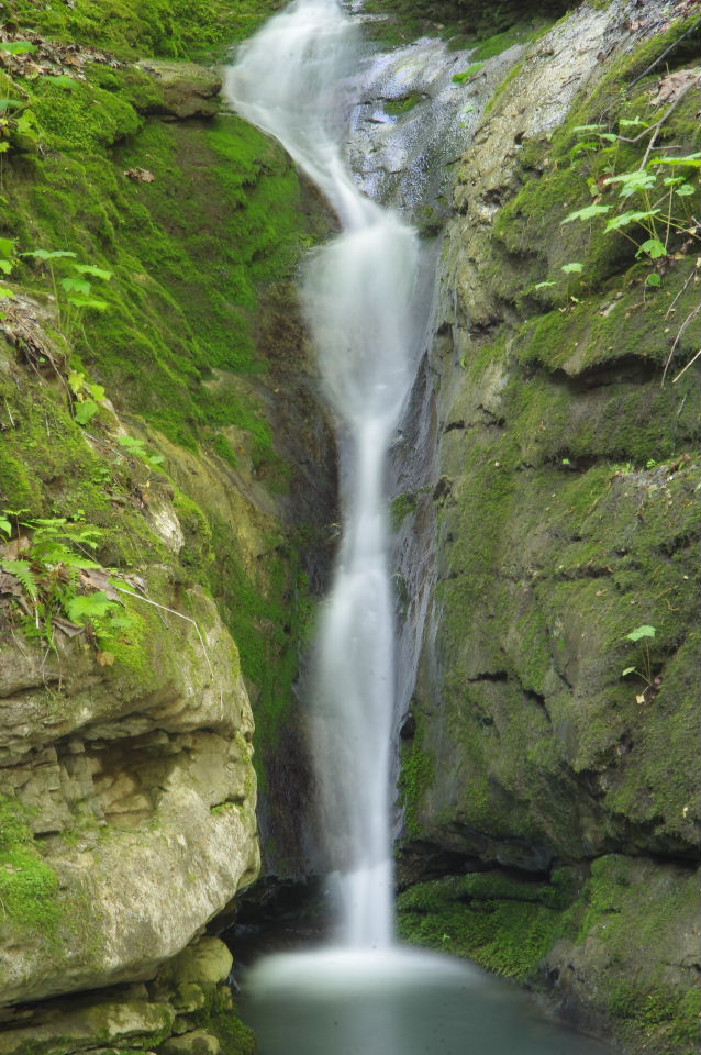
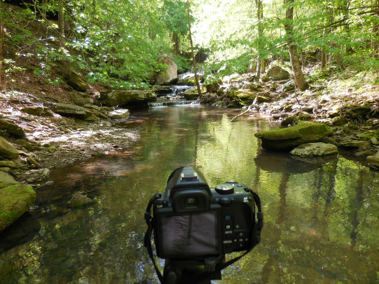
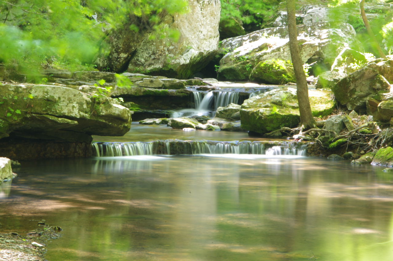
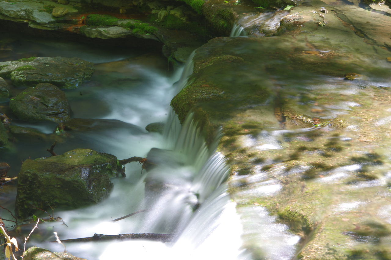
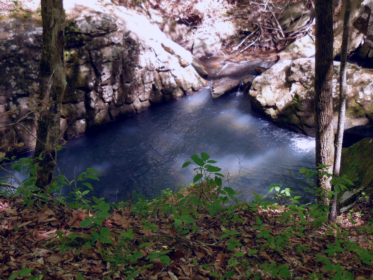
Quivala Elise Falls
35.93808°, 93.38302°
(Quivala = French for Who Goes There)
Named after Elise Roenigk, who, along with her
husband, Marty, donated the land to the Preserve. |

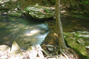
Elise Falls |
|
Now back to Access Point #3
35.93781°, 93.38159° |
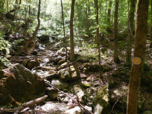
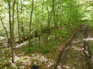
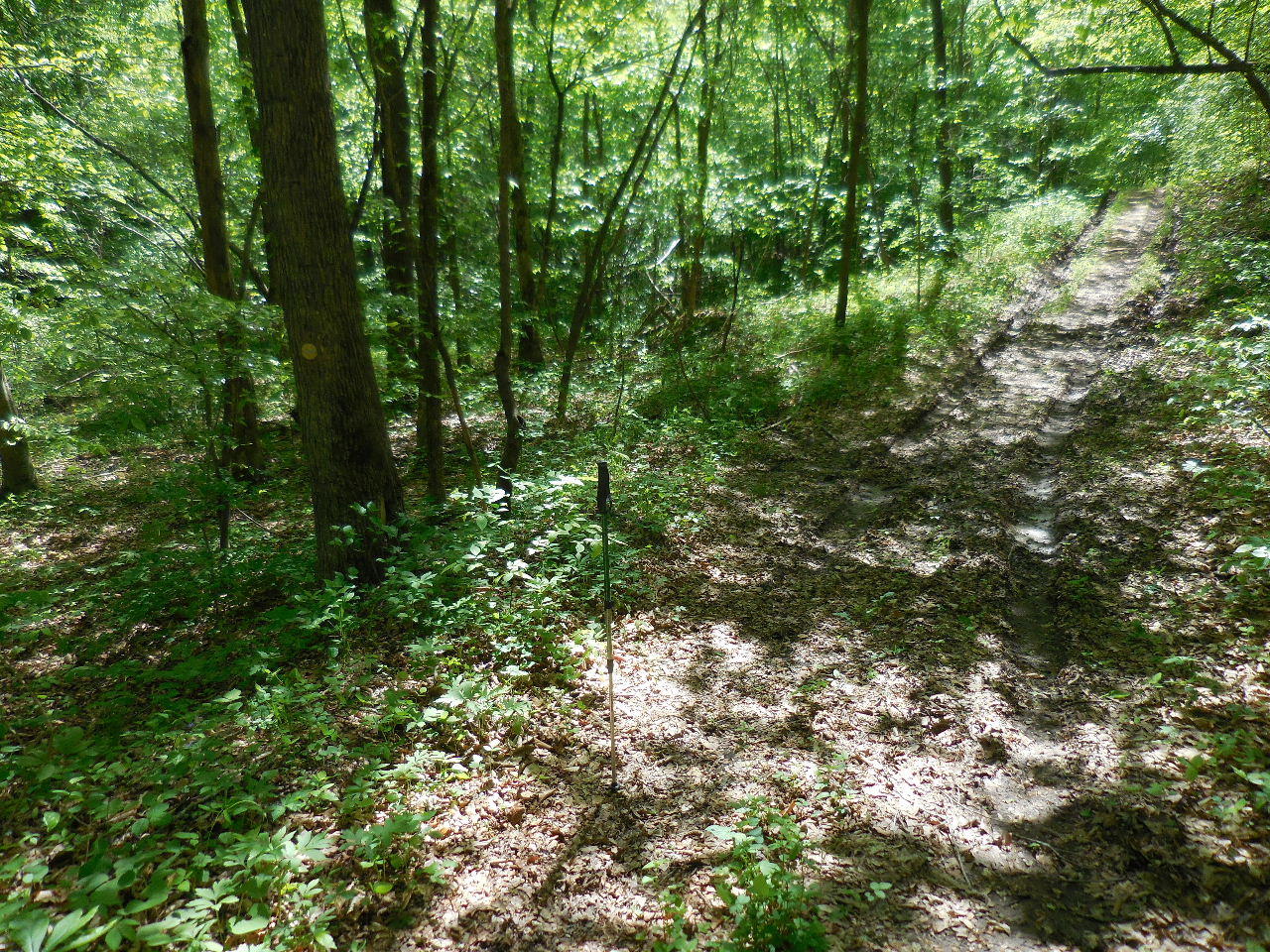
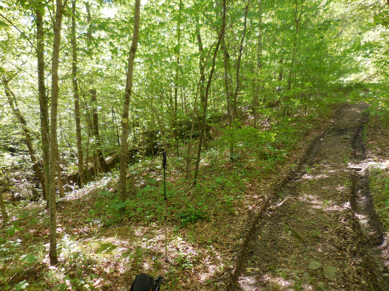
Trail Markers
(Trail follows old road) |
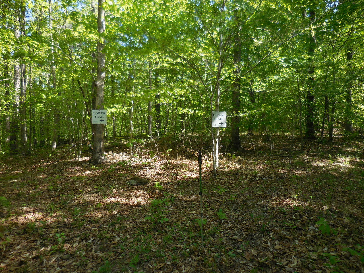
Access Point #4
Intersection of Upper & Lower Trails
35.93717°, 93.37726° |
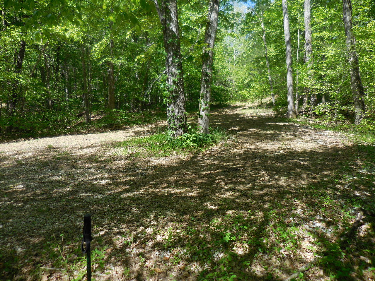
Both trails follow old roads most of
the way!
(We will follow Lower Trail at this point) |
You follow an old road for about 0.5
miles.
At this point you will leave road and begin to
head downhill.
35.93717°, 93.37726° |
Eventually you will come back out on
the old road
where there are some rock cairns.
35.92982°, 93.37672°
(This area is noted as "Bad" because the trail is
hard to follow......) |

The trail will come to Smith Creek
where you will
turn left and follow the east side of Smith Creek....
35.92954°, 93.37733° |
Follow Trail Markers along the east
side of
Smith Creek. |

Access Point #5
Intersection of Upper & Lower Trails
35.92657°, 93.37685° |

Follow trail and cross Smith Creek
Access Point #6
35.92332°, 93.37789°
This will come out at a second Parking Area. |
Second Parking Area
(When Gate is open at entrance)
At this point head south across bridge. |
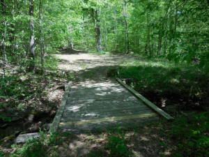
Wooden Bridge looking back at Parking
Area
35.92311°, 93.37785° |
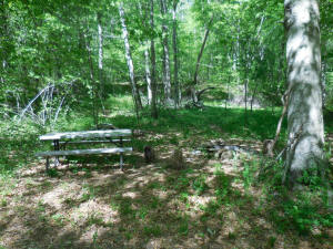
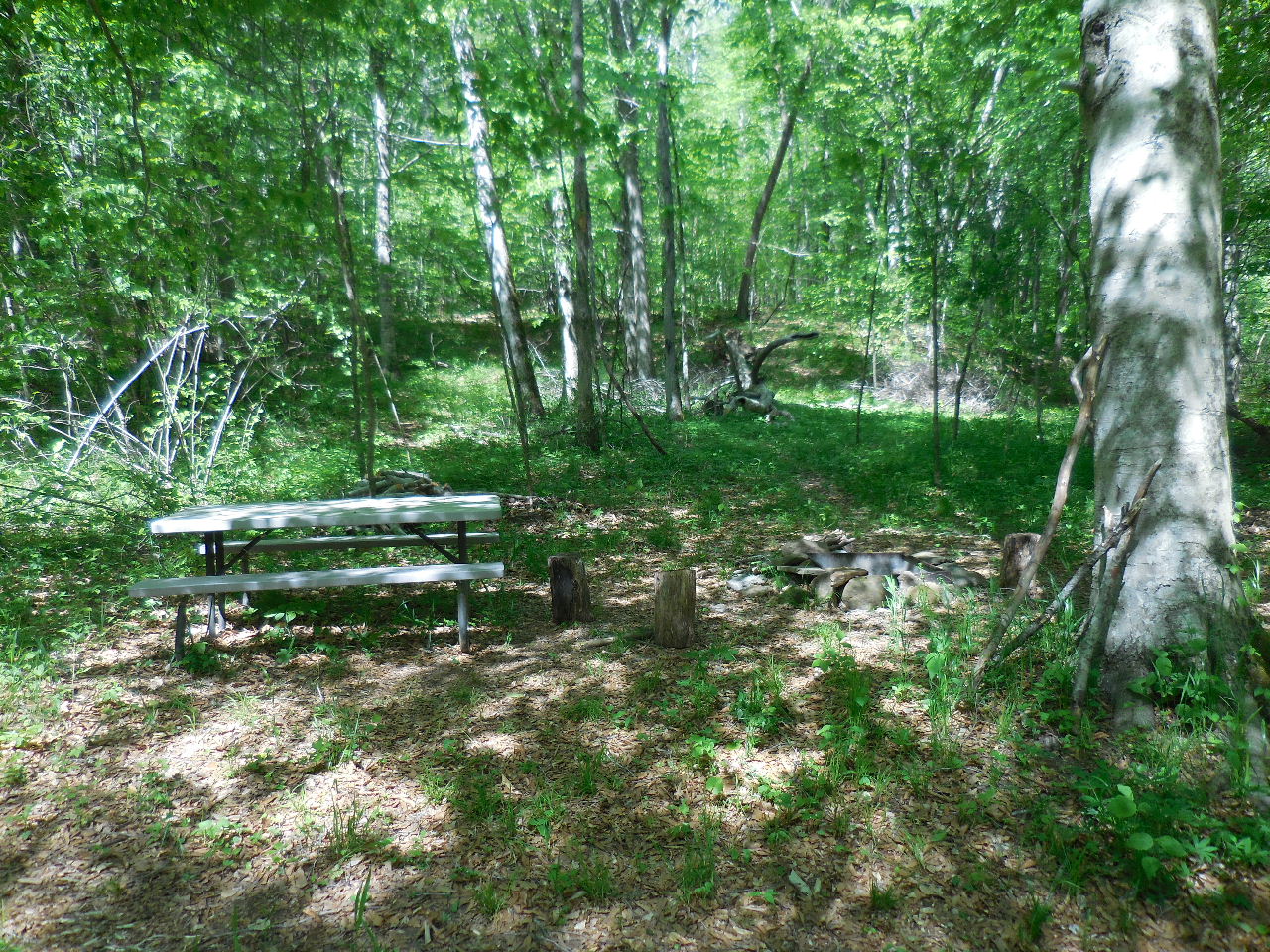
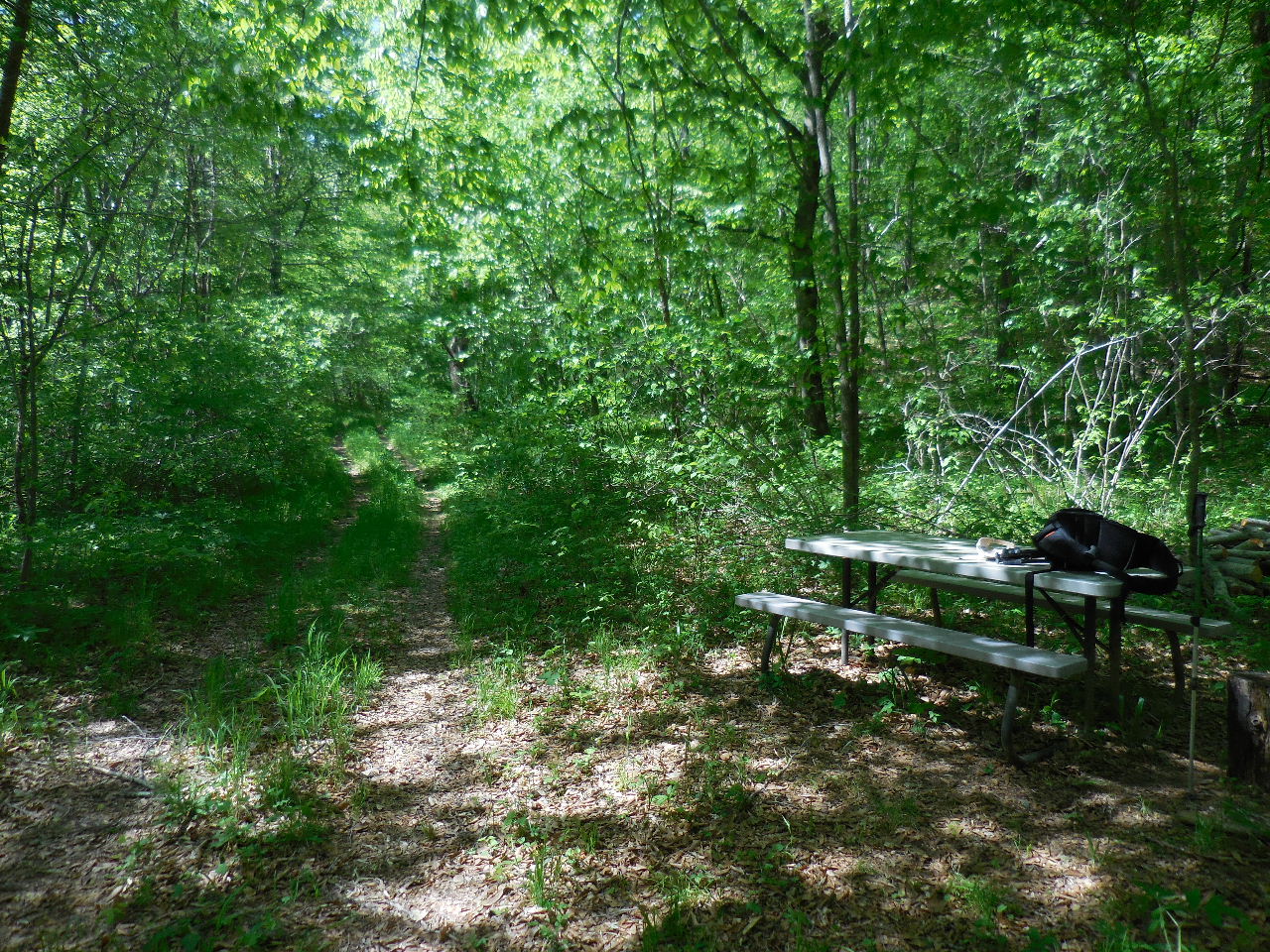
Picnic Table and Camping Area
35.92281°, 93.37787° |
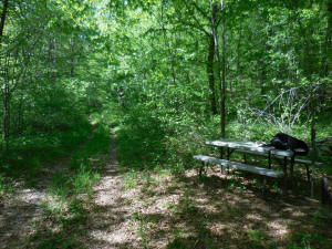
Head south on old road which is
Big Spring Trail |

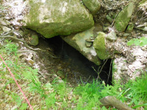
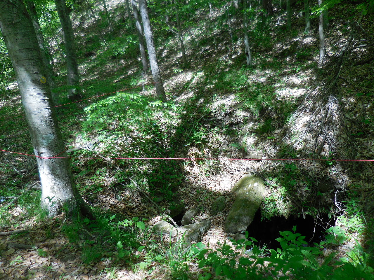
"A" Sink Hole
35.92140°, 93.37834°
This sink hole is located next to trail. |
Just down trail a little bit is a side
trail to
another "A" Sink Hole next to Smith Creek.
35.92123°, 93.37831° |
"A1" Sink Hole next to Smith Creek
35.92112°, 93.37808° |
Looking down into sink hole.....water
running
in it as well at the one by the trail. |
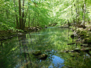
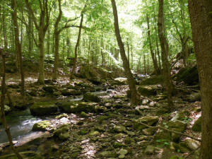
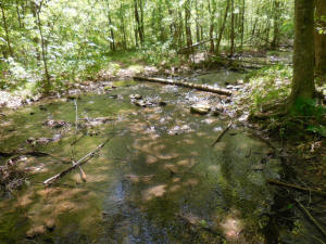
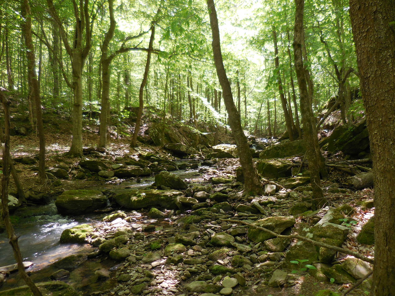
A view of Smith Creek |
"Wet" crossing along trail at a side drainage.
35.92021°, 93.37852° |
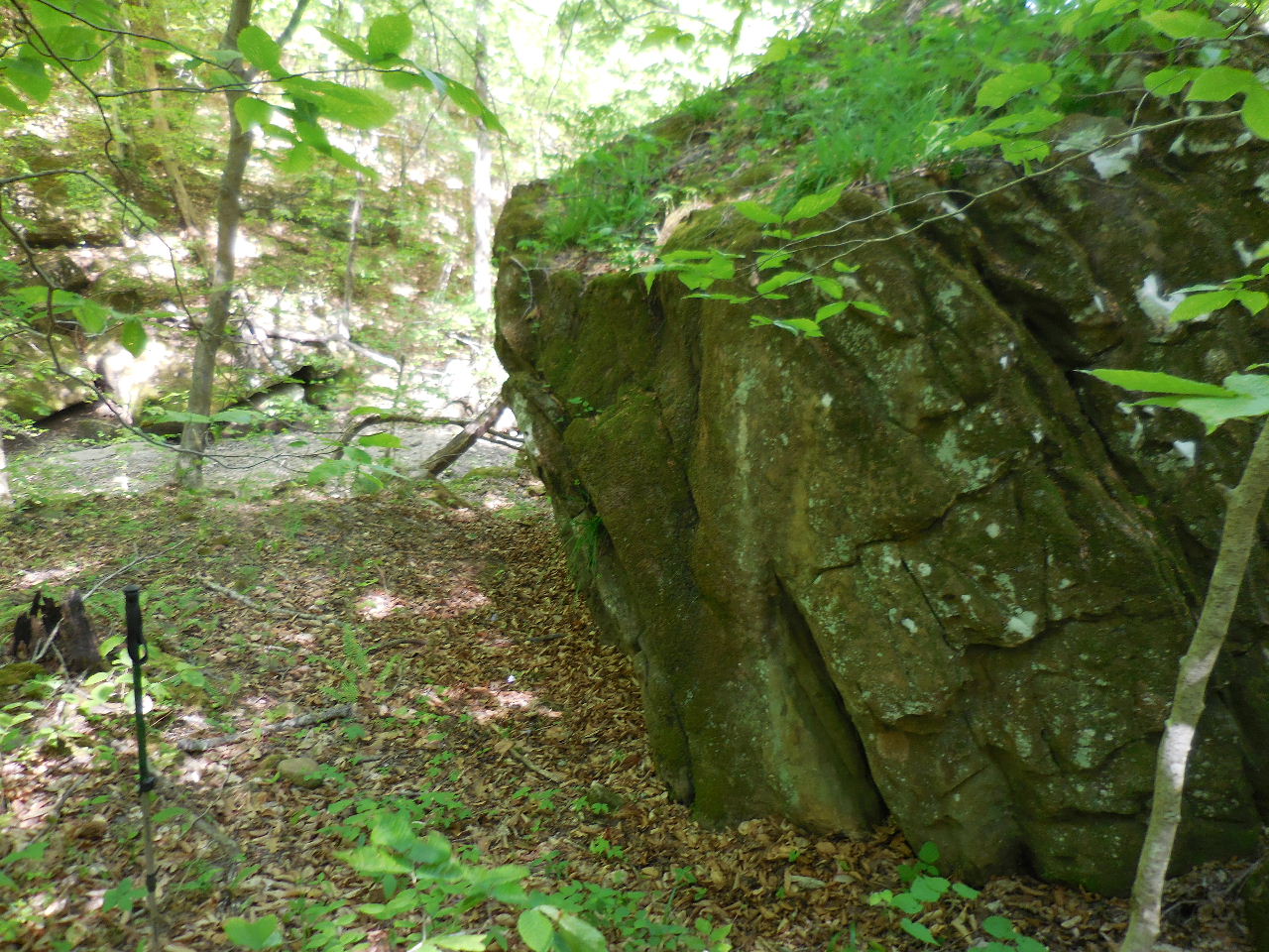
"B" Side trail to "Boulders" on Smith
Creek.
35.91926°, 93.37776° |
Boulders in Smith Creek |
"B" Boulders in Smith Creek
35.91942°, 93.37760° |
Boulders on east side of creek. |
Side trail to Twin Falls
35.91875°, 93.37738° |
Twin Falls on Smith Creek
35.91880°, 93.37720° |

Twin Falls |
Lower Twin Falls |
Upper Twin Falls |
"C" Side Trail to Blue Hole & Big Gem
35.91796°, 93.37715° |
"C" Up above Blue Hole & Big Gem |
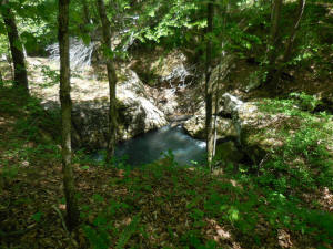
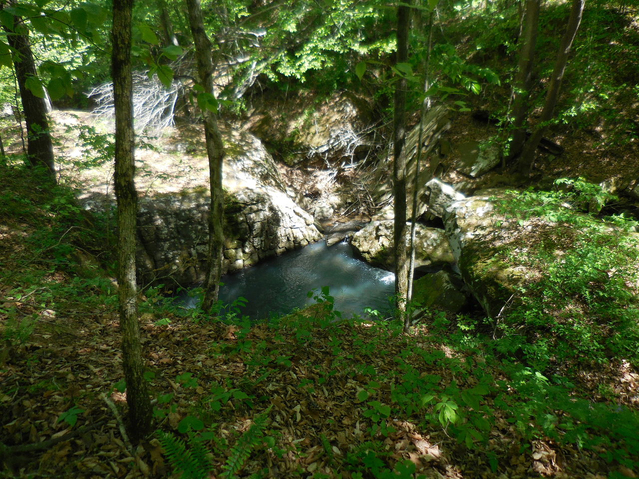
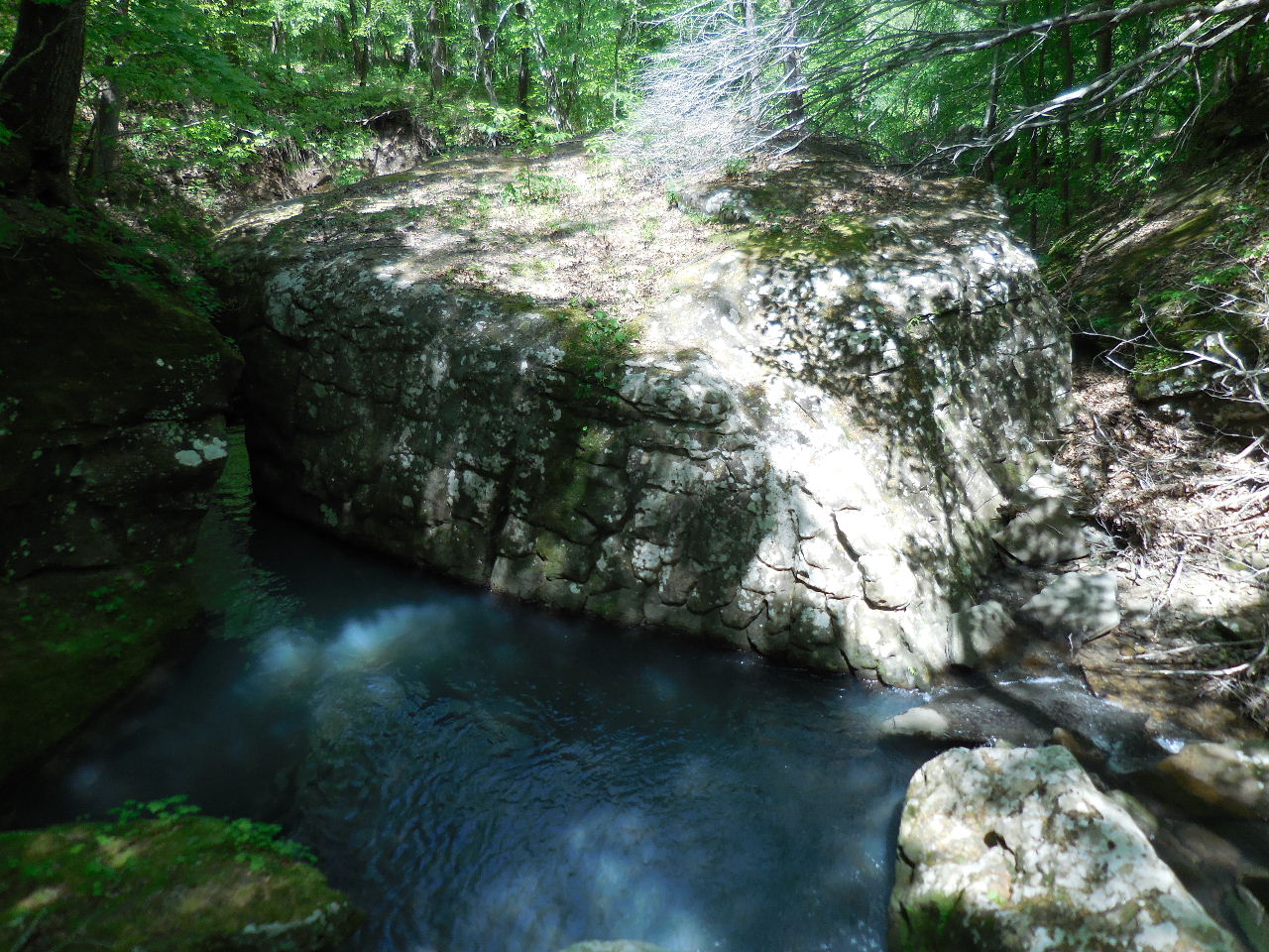
"C" Blue Hole & Big Gem
35.91806°, 93.37681° |
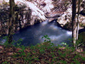
"C" Blue Hole & Big Gem
(Big Gem is the large rock in Smith Creek) |
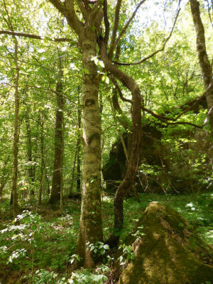
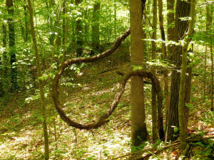
"D" Large Grapevine |
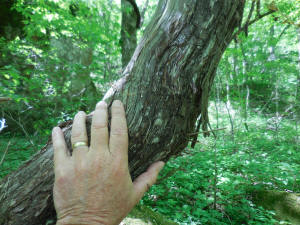
"D" Large Grapevine
35.91629°, 93.37654°
(Located just west of trail)
(All along this area are a lot of grapevines) |

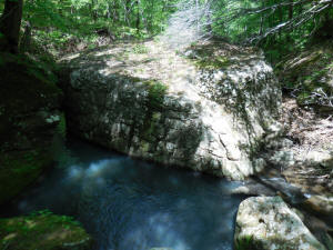
"E" Side trail to Marty's Pool
35.91508°, 93.37524° |
"E" Marty's Pool (Dry at time of
visit)
35.91517°, 93.37512° |
Tree log along the trail.
|
More grapevines along the trail. |
Another "Wet" crossing
35.91159°, 93.37364°
(Just across the creek turn right and follow
trail
to Big Spring) |
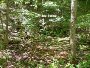
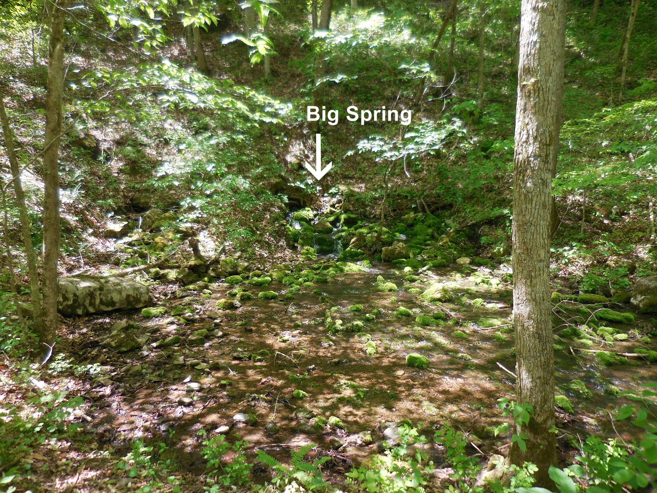
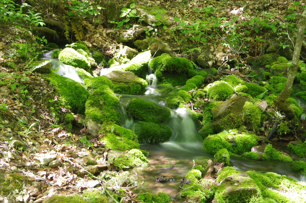
Big Spring
35.91099°, 93.37342° |
Big Spring
(At this point turn around and head back to
bridge and take Main Trail back to entrance) |
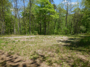
"F" Open Area
35.92497°, 93.37948° |
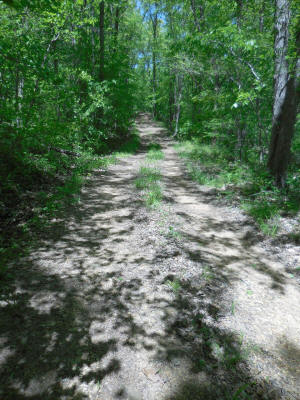
Main Trail heading back to entrance at
Hwy. 21
(Steep in a few places) |
A welcomed site. |
|
.jpg)
.jpg)


