.jpg)
Map Prepared by TAKAHIK River Valley Hikers
Victor CCC Camp
| TAKAHIK River Valley Hikers |
| Home Scheduled Hikes Pictures Videos Membership Links Trails & Waterfalls Mushrooms Products In Memory Of Scholarships |
| VICTOR CCC CAMP |
|
Map Prepared by TAKAHIK River Valley Hikers Victor CCC Camp |
.jpg) Map of west side of FR 1000 and my findings |
||
 Parking Area 35.65028°, 93.00620° Old entrance to FR 93192B |
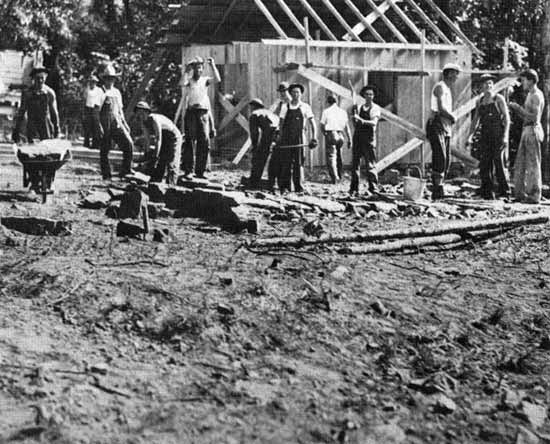 One of the first structures at the Victor CCC Camp. Photo No. 335345 by J.W. Wait, 1933. (Victor was a side camp for Pelsor or Sand Gap) |
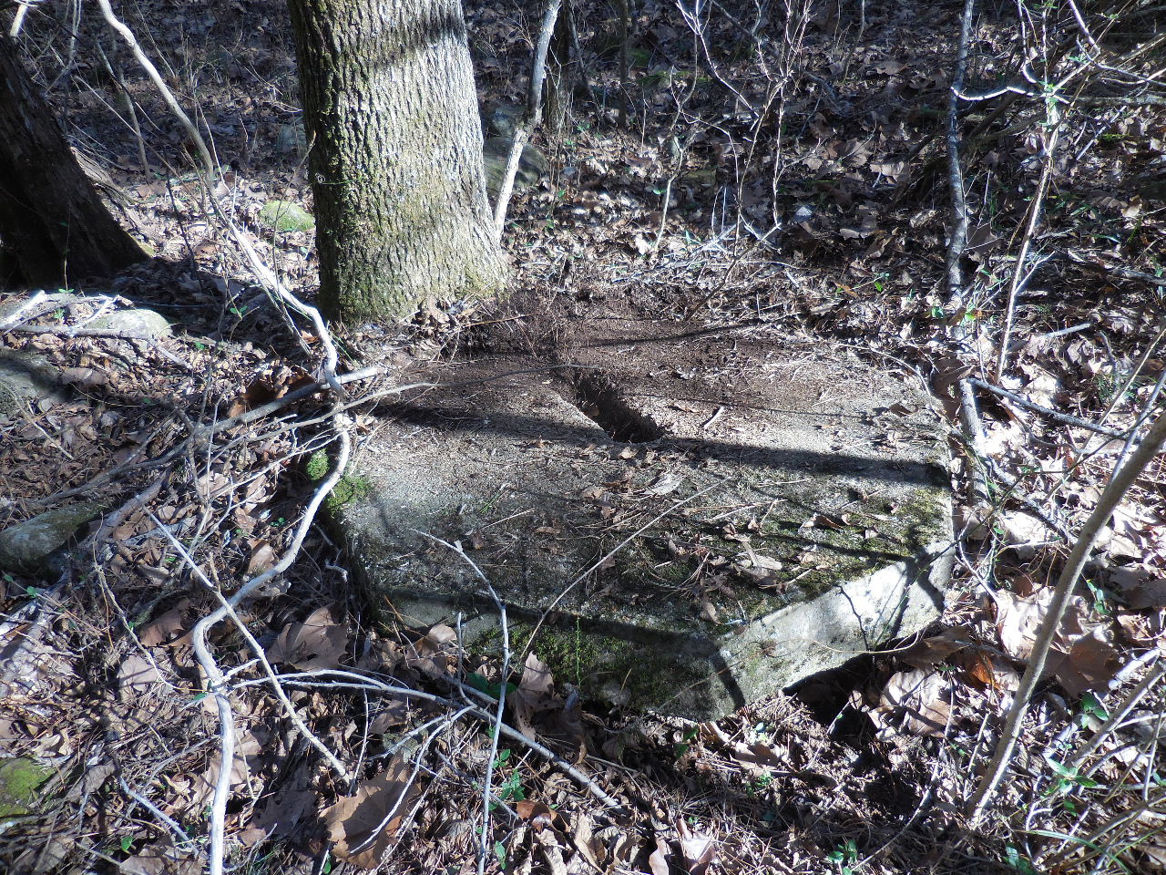
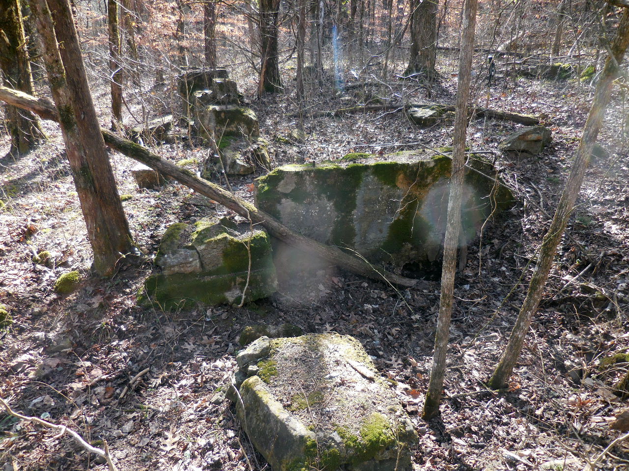
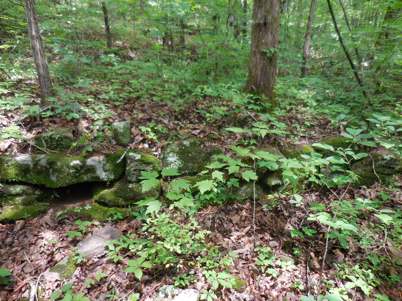 #1 Rock Foundation 35.64944°, 93.00698° |
|
From "An Illustrated History of the Ozark-St.Francis National Forest" For
The Trees: Some of the needed manpower to get the timber from the forests came from German prisoners of war. Prisoners of war went to Fort Chaffee, just east of Fort Smith, Arkansas. Side camps, established in other locations, put the POW's to work. The Chickasaw Wood Products Company was one lumber outfit who used German prisoners at a camp set up in the Ozark National Forest. The camp was located on the West Fork of the Illinois Bayou, 38 miles north of Russellville. (This side camp was Victor CCC Camp) The camps allowed no vistors and all POW's wore the initials "PW" on all outer clothing. Area residents were notified when the Pelsor camp opened. Additional Notes: There exists a 1936 aerial photo that shows a baseball diamond on the camp site, have not been able to find the photo. That would definitely have to be on the east side of the road. Also, find an article stating that a Mr. John G. Chism, who was one of the last remaining Civil War Veterans, that died in June, 1951, at age 103, lived in an old abandoned German Prisoner of War camp called Camp Victor. |
||
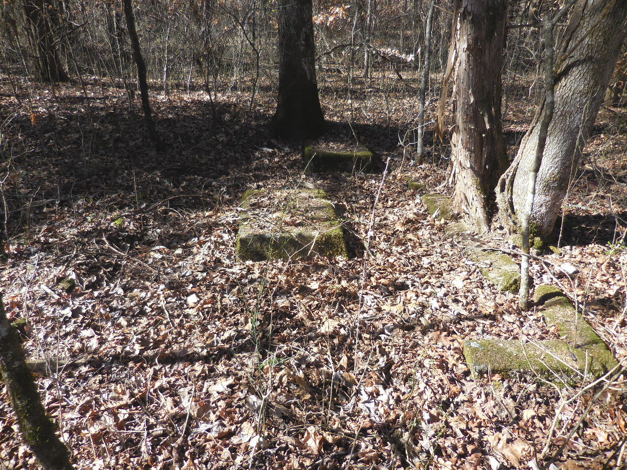
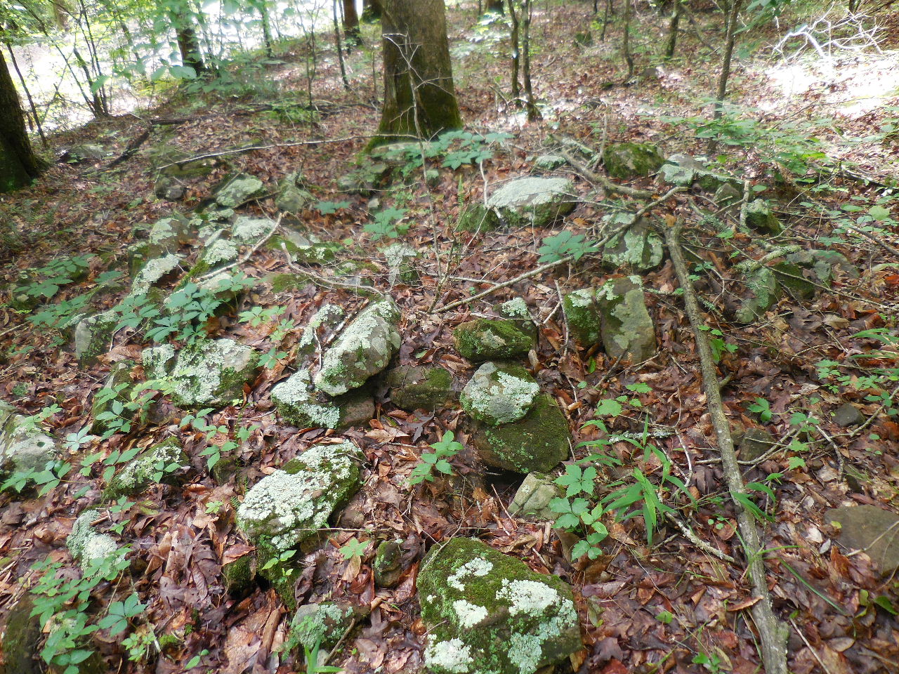 #2 Rock Pile 35.64907°, 93.00685° |
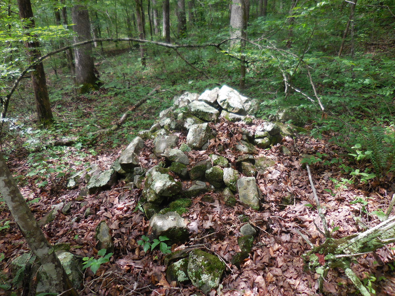 #3 Rock Pile 35.64889°, 93.00682° |
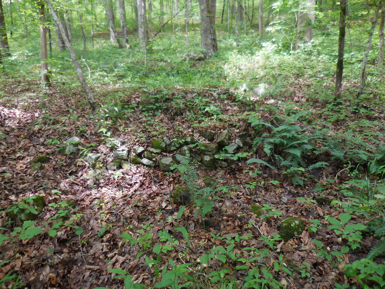 #4 Rock Pile 35.64889°, 93.00705° |
 #5 Rock Foundation 35.64917°, 93.00723° |
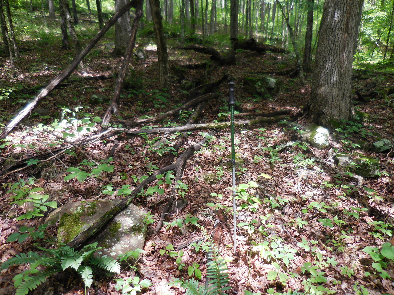
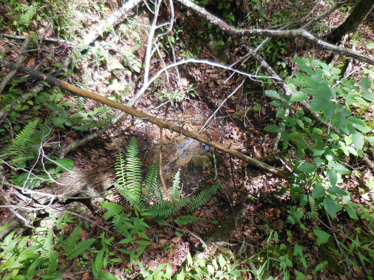 #6 Rock Lined Hole 35.64975°, 93.00684° |
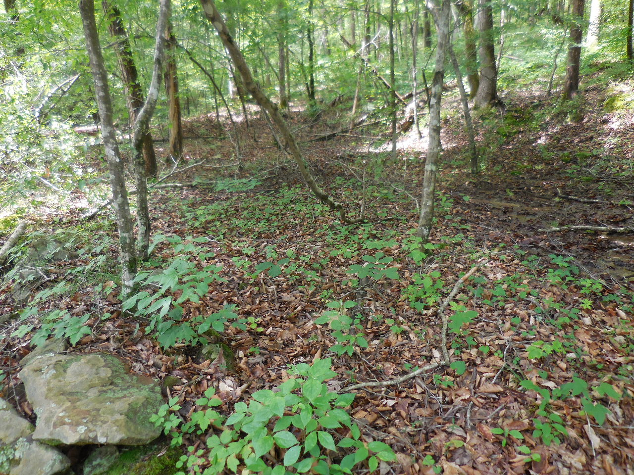 #7 Long Pad (Rock Lined) 35.64958°, 93.00657° |
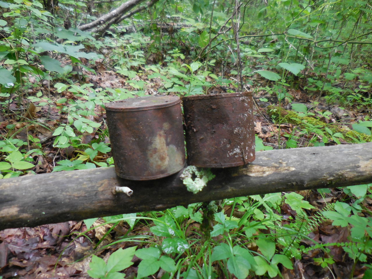
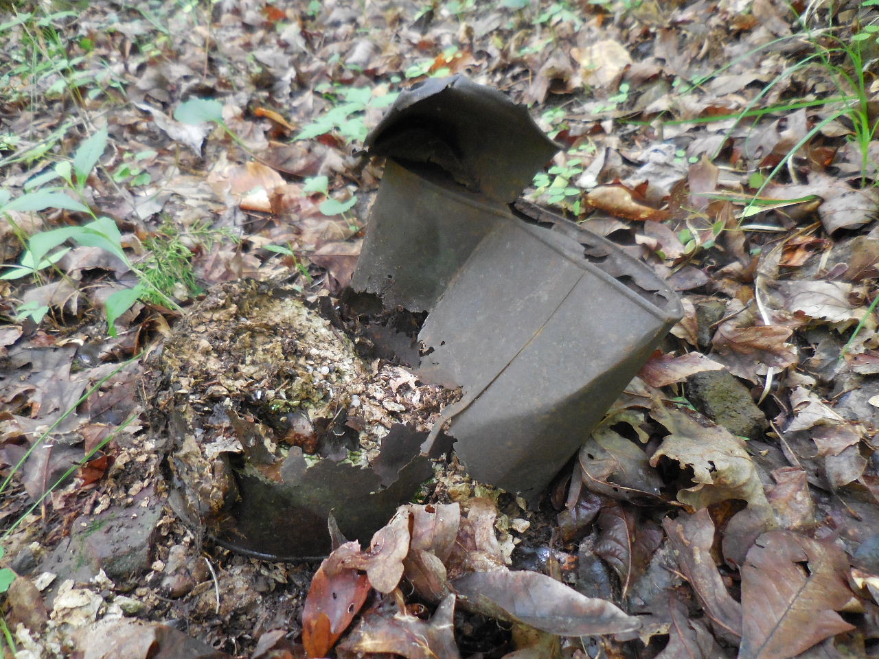 #8 Gal. Tin Can 35.64929°, 93.00665° |
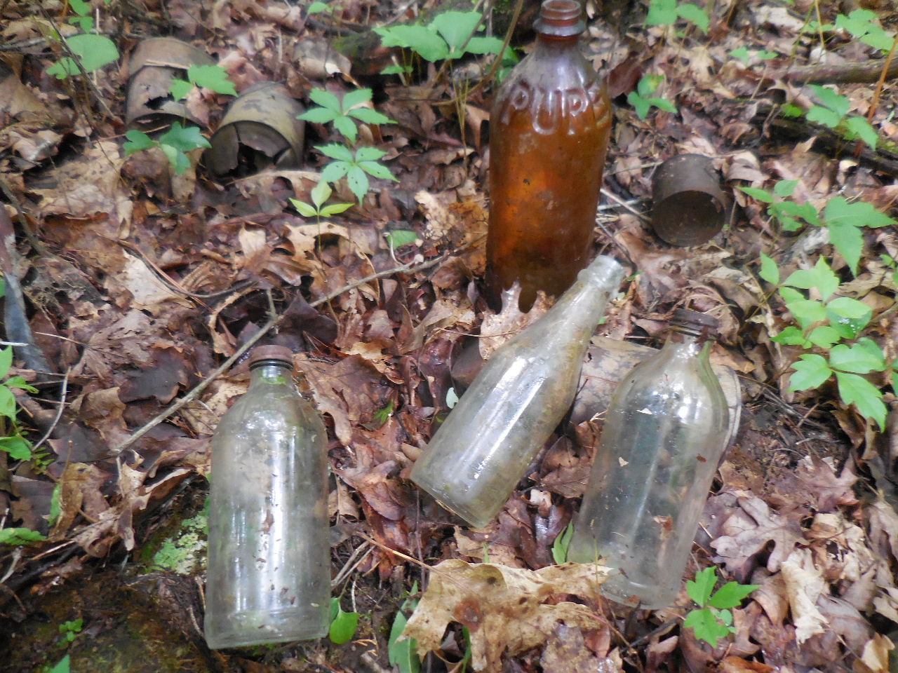 #9 Trash Pile 35.64984°, 93.00587° |
 #9 Trash Pile (5 oz. Evaporated Milk Cans) There were a lot of these ..... |
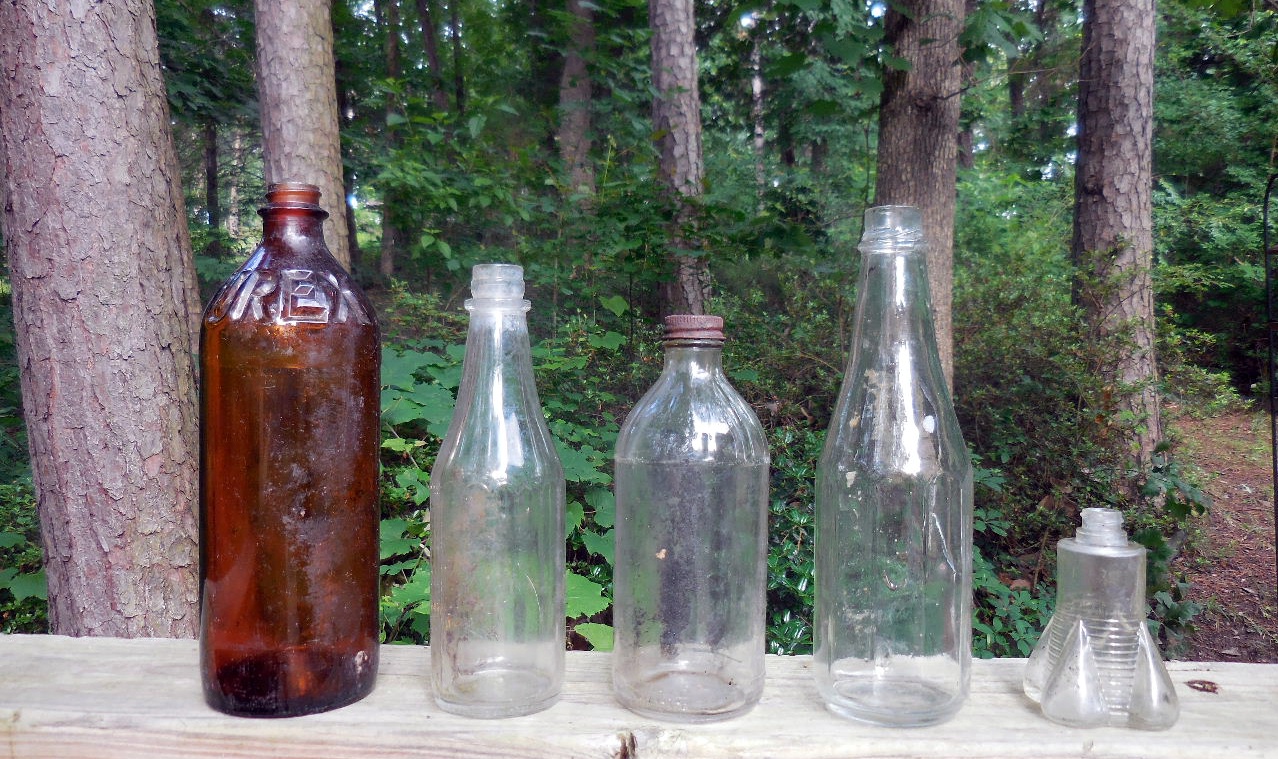 #9 Trash Pile Just some of the many glass bottles.... |
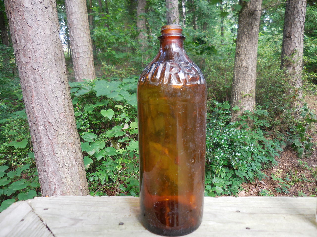 Owens-Illinois Glass Company - 1937 10" Amber Purex Bleach Bottle (There were a lot of these bottles also....) |
 Owens-Illinois Glass Company Ketchup Bottle - Cork Lid |
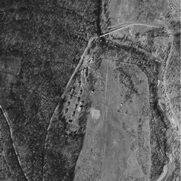 Victor CCC Camp Location Aerial Photo GD 10-99, Dec. 31, 1936 |
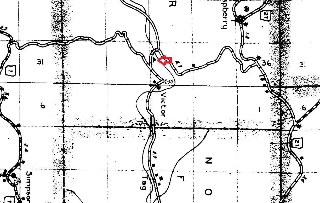 1936 Pope County Map The map shows the camp to be on the east side of the road. I am assuming the living quarters were on the uphill side (west) and maybe the work was performed on the east? |
.jpg) 1934 USGS Topo Map |
.jpg) Map of east side of FR 1000 and my findings |
||
 #1 Octagonal Conc. Block (4') 35.64893°, 93.00594° |
 #2 Conc. Walls & Piers 35.64854°, 93.00620° |
 #3 Building Foundation 35.64950°, 93.00582° |
|
The following pictures are from: Arkansas Civilian Conservation Corps Pictorial Review 1933-1934 Parke-Harper Company, Little Rock, AR 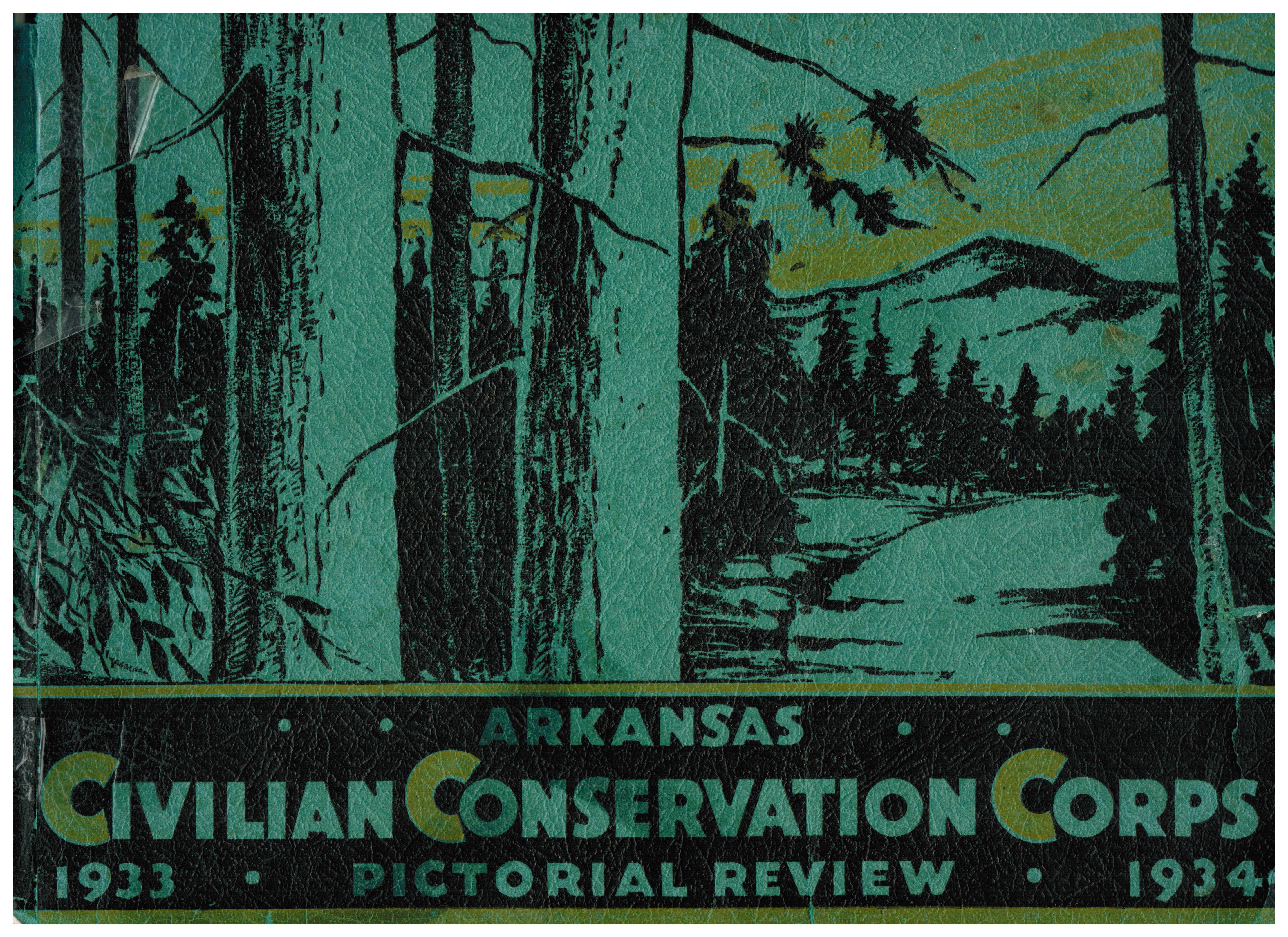 |
||
 |
||
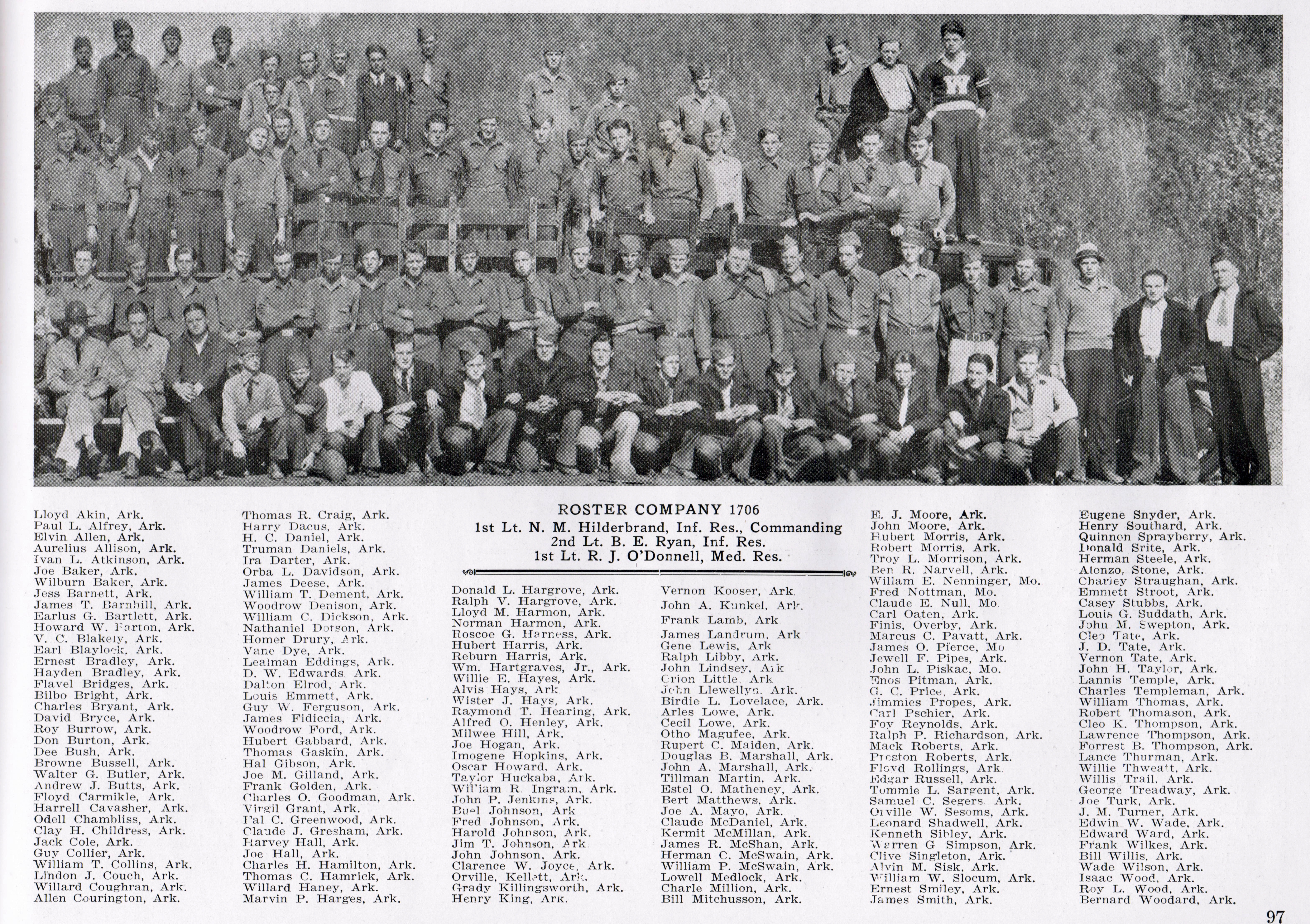
| Company 1706 CCC, Camp Victor | ||
-horz.jpg) |
||
|
The Men at Victor Camp |
||
 |
||
 |
||
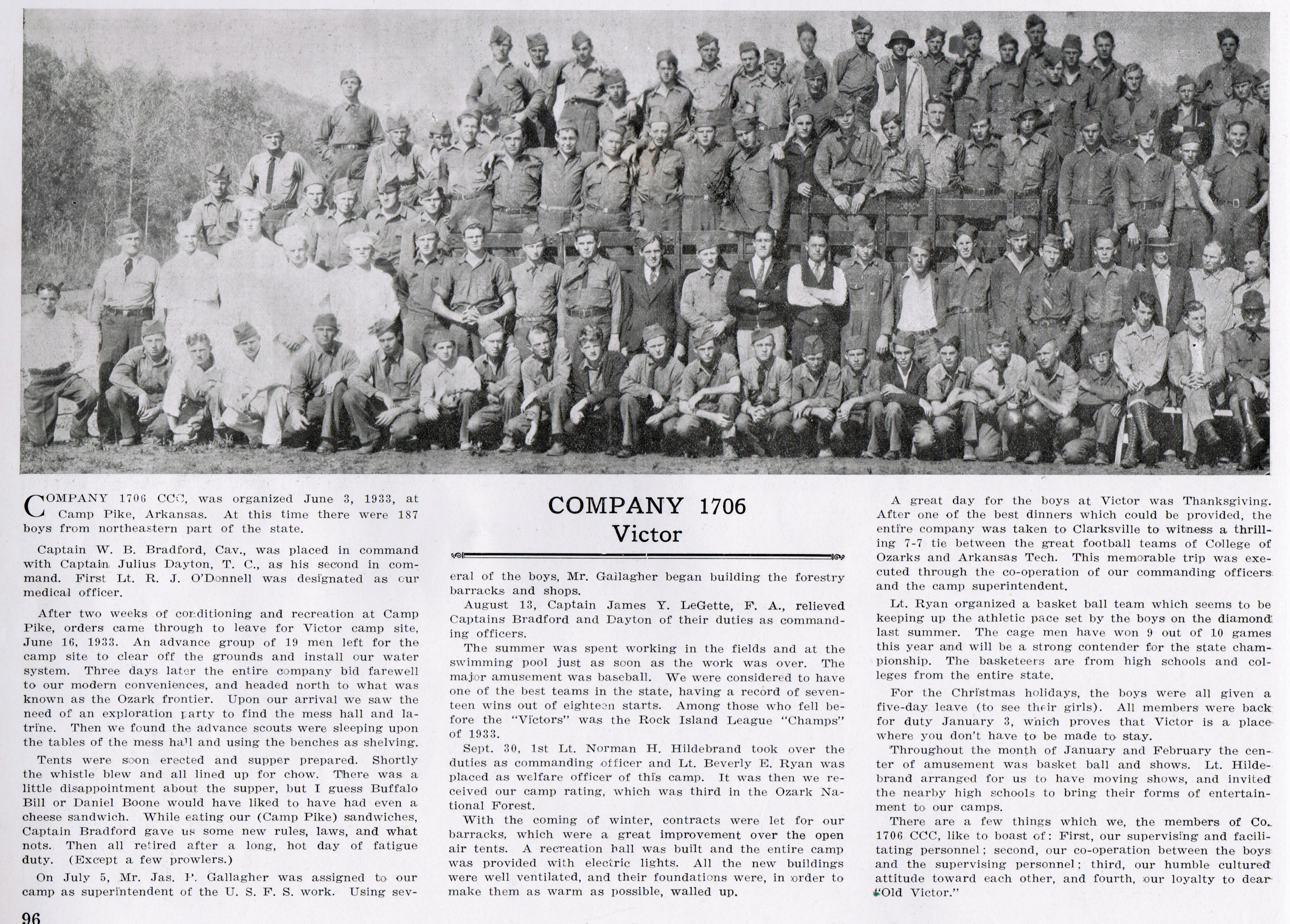 Click on the above picture to read a story of the Victor Camp. |
||